bobspirko.ca | Home | Canada Trips | US Trips | Hiking | Snowshoeing | MAP | About
Red Ridge
Kananaskis, Alberta
August 9, 2003
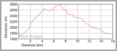
Distance: 16.0 km (9.9 mi)
Cumulative Elevation Gain: 1144 m (3753 ft)
Although Dinah and I had climbed Mount Bogart from the east, we set out to explore a possible west approach. Kane's approach from Ribbon Creek is long and uninspiring. A west approach via Red Ridge would also be long, but perhaps more interesting.
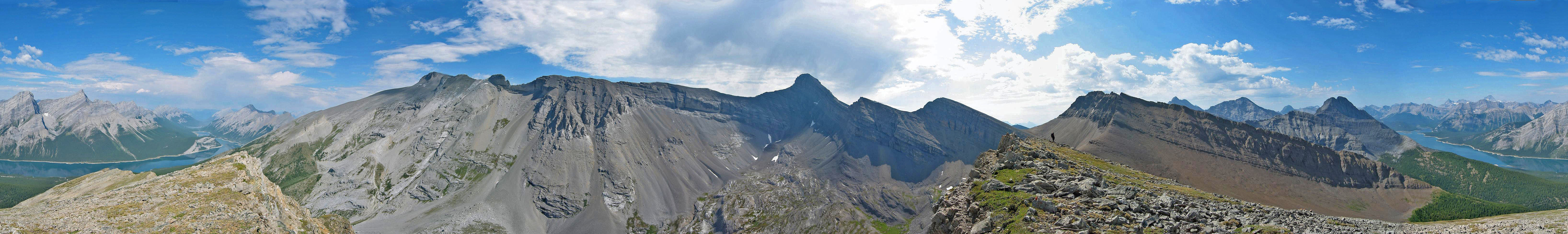
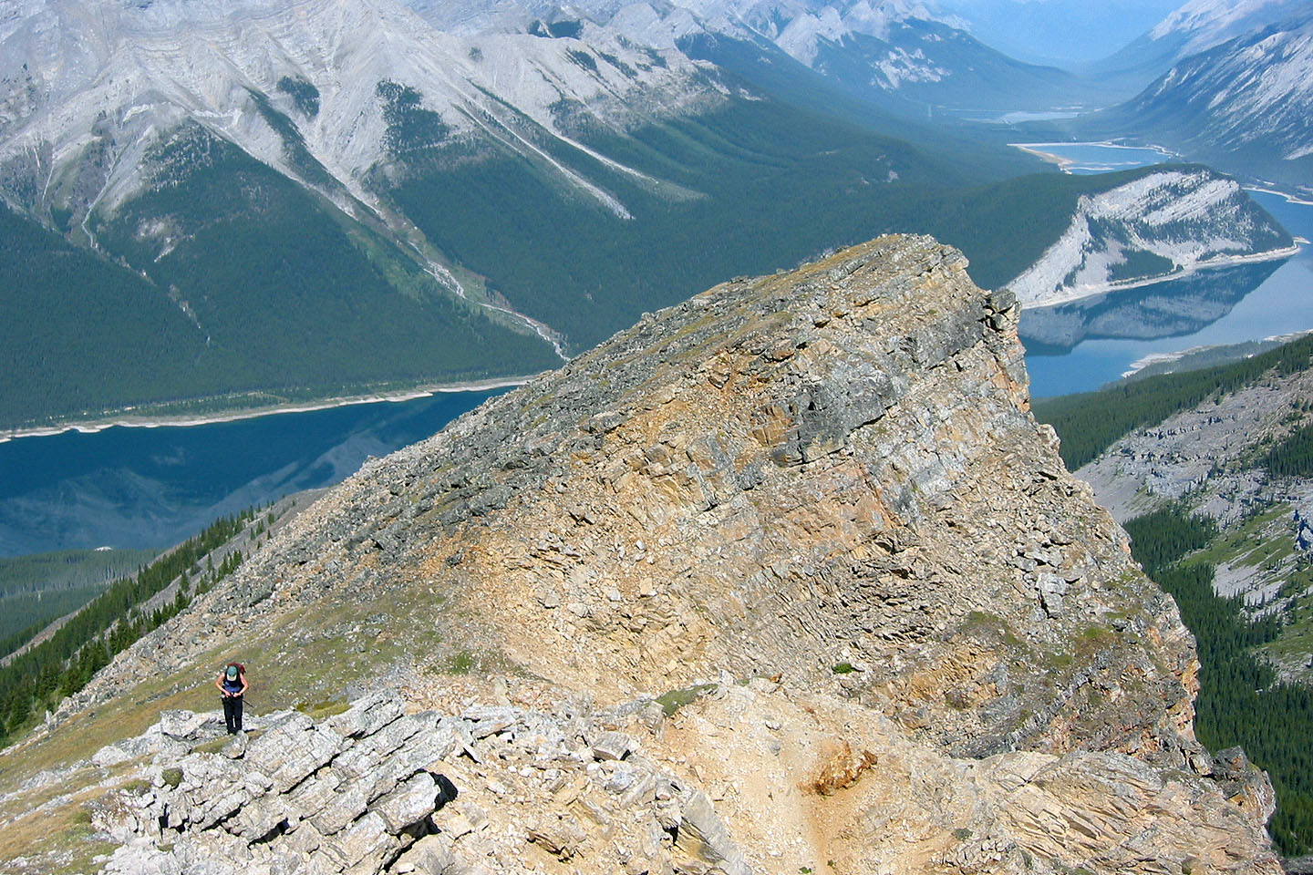
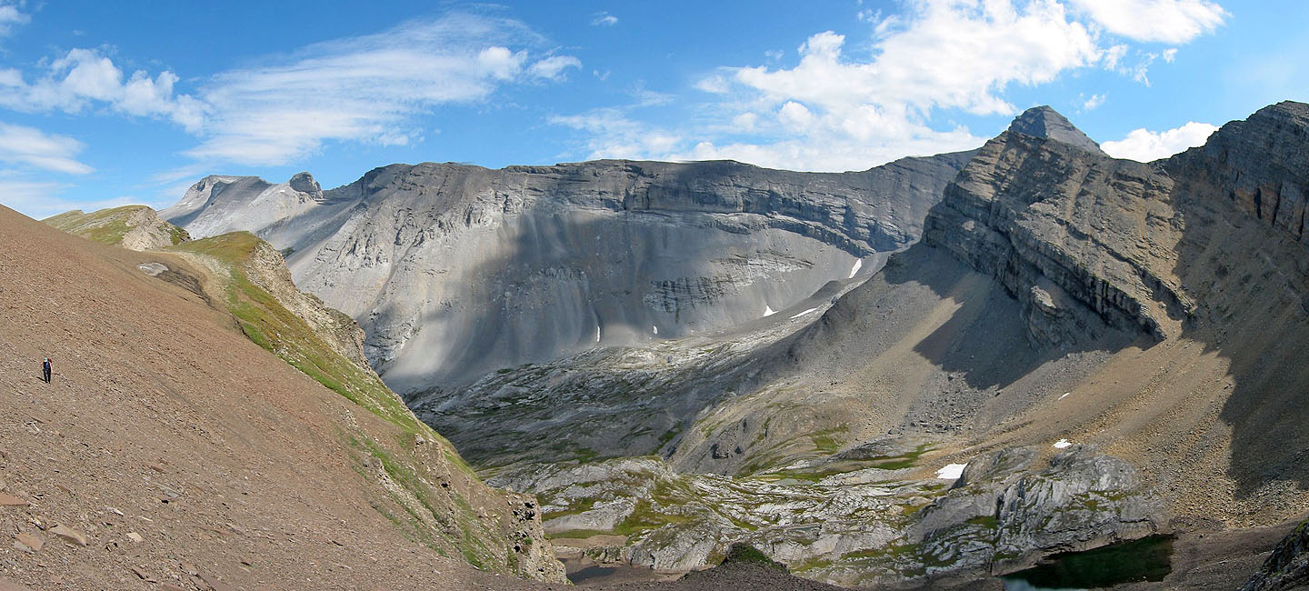
We parked at Spray Lakes day-use area and started up the trail. We soon left the trail and headed to the northwest ridge. After hiking 4.2 km, we reached the summit of Red Ridge where I took the above panorama. Sitting at 2650 m, 920 m above the trailhead, however, it wouldn't be the highest point we reached.
We continued along the ridge, hoping to reach the west ridge of Mount Bogart, but we ran into an insurmountable cliff band. We ended up on a high point (221408) 150 m higher than Red Ridge. Unable to continue, we dropped down to the alpine basin below and followed the valley north of Red Ridge out. We finished the trip by walking back on the road to the parking lot.
We couldn't continue on to the west ridge as I had hoped, but Red Ridge turned out to be a delightful hike in its own right! It's such a gentle grade that we returned to climb it as a snowshoe ascent.
On the lower slopes after leaving the trail
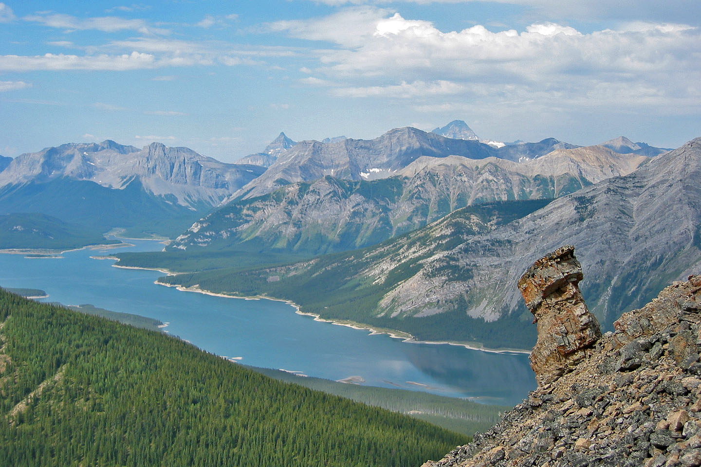
Spray Lakes behind us
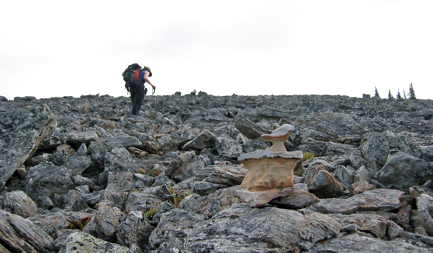
Easy hiking along the ridge
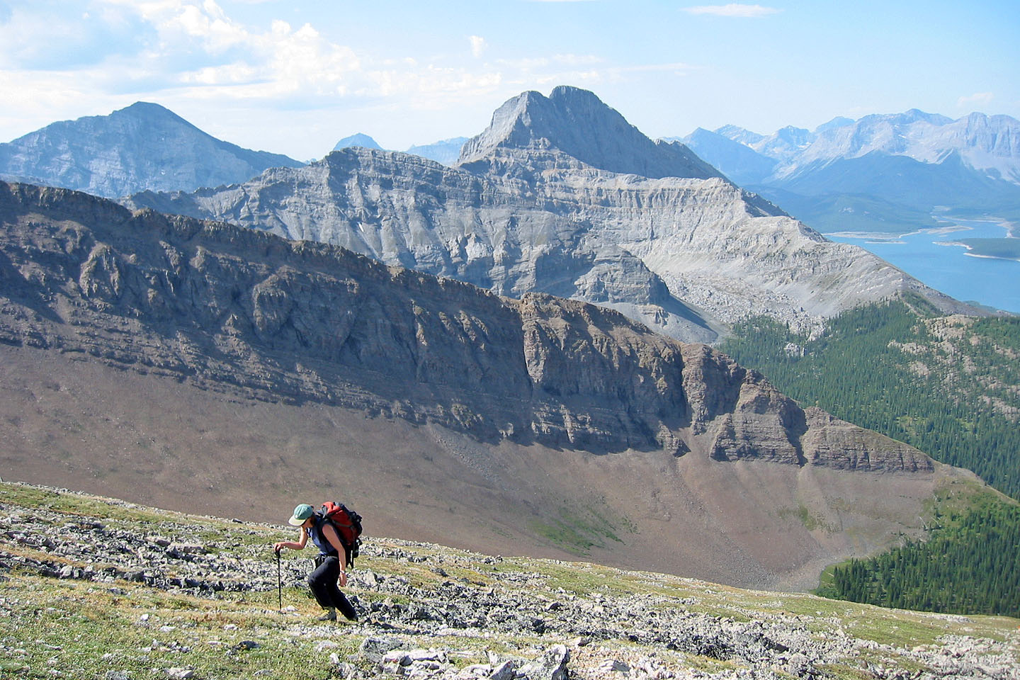
Mount Buller dominants the background

On the summit
Looking back at the summit
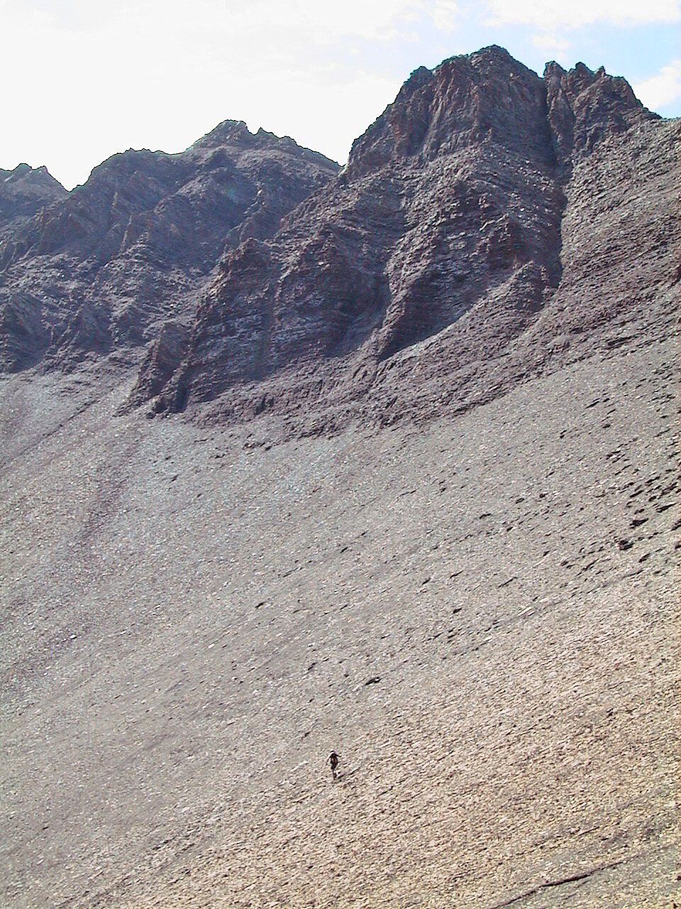
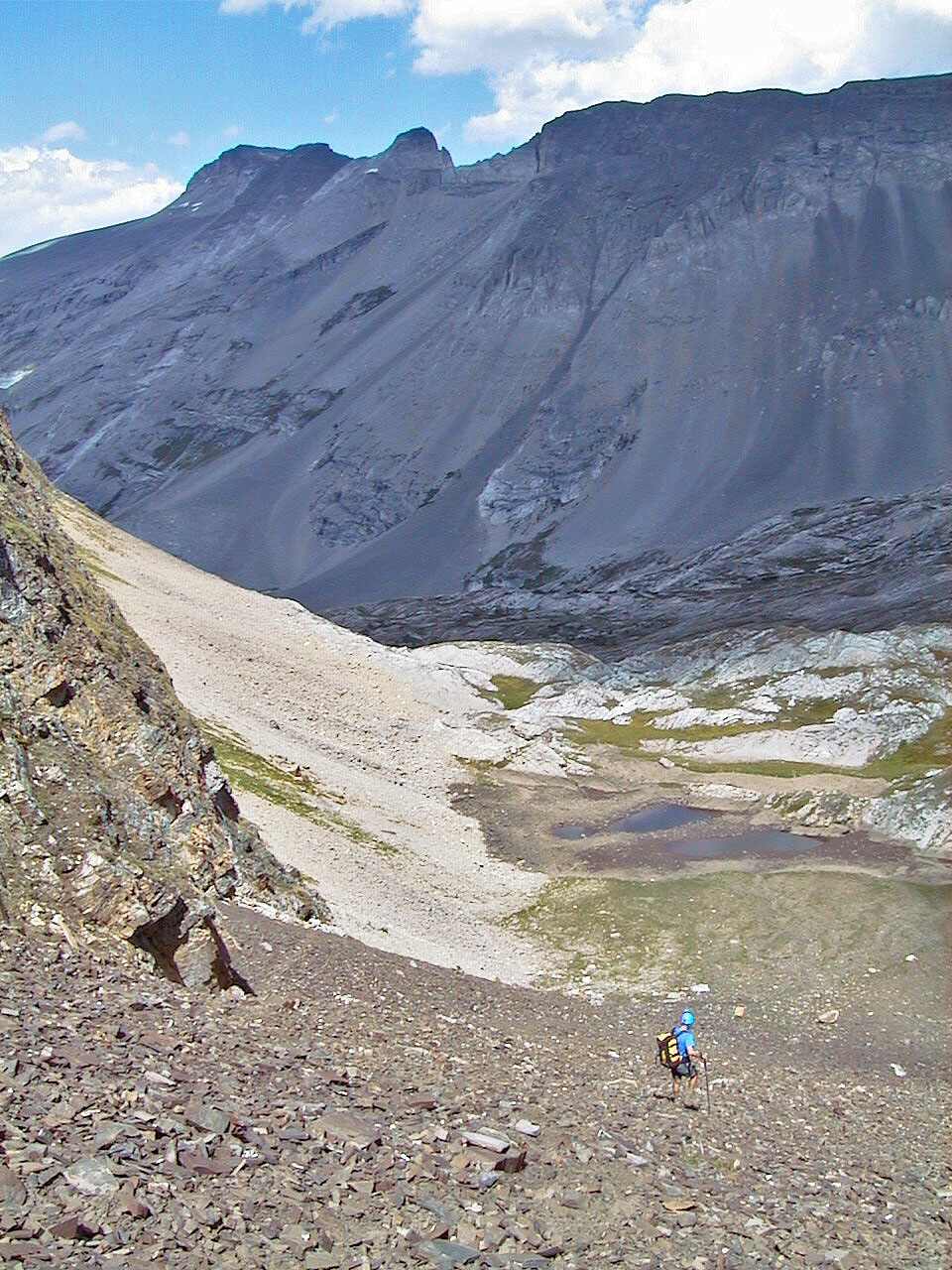
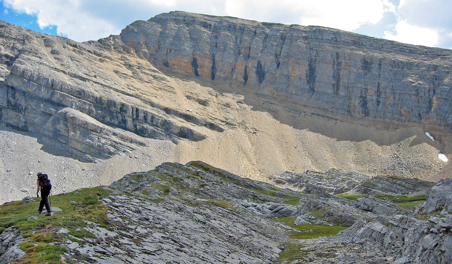
Dropping down a huge scree slope
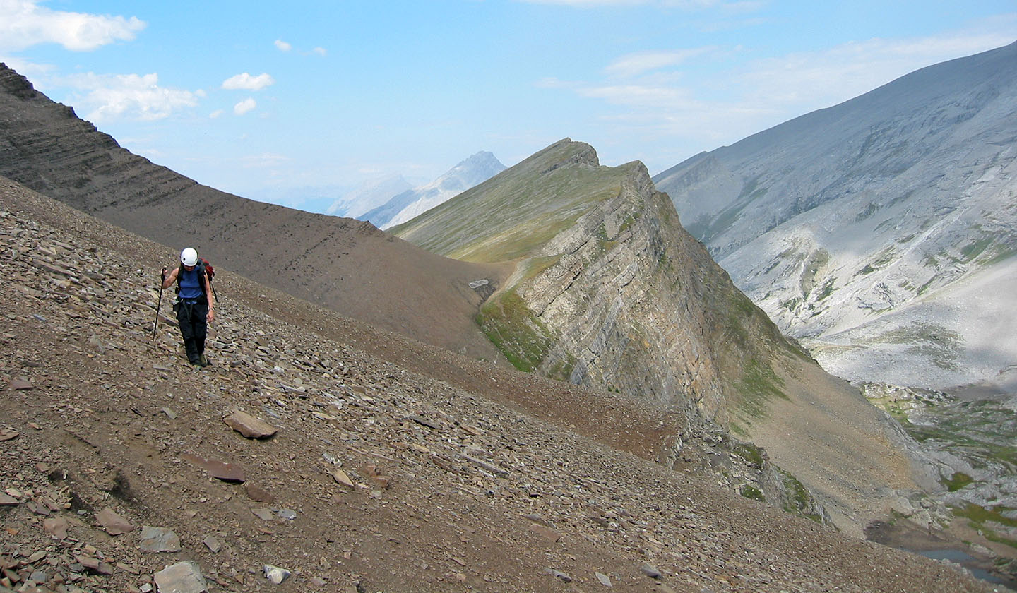
We reached the high point on the far right
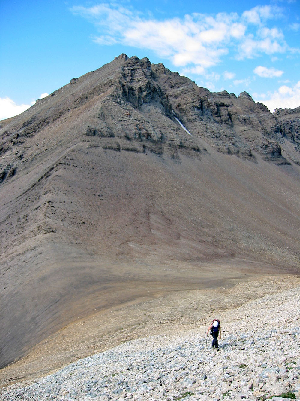
Starting up a ridge. Red Peak behind.
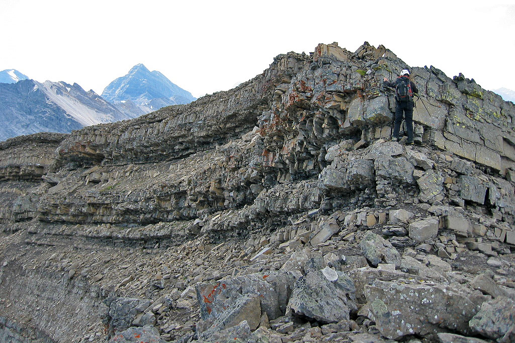
Downclimbing a short cliff band
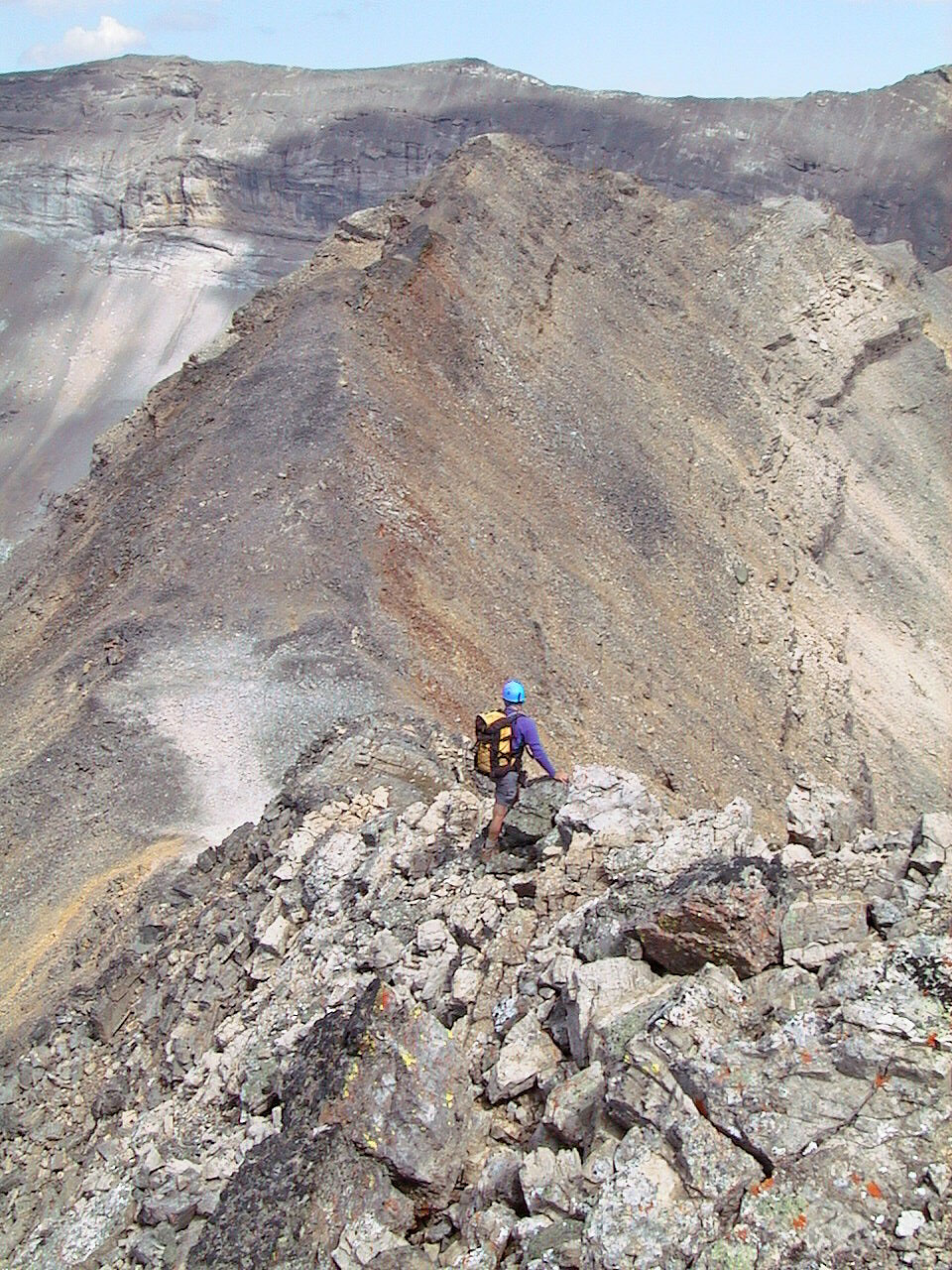
As far as we got. We couldn't continue along the ridge ahead because of a cliff band.
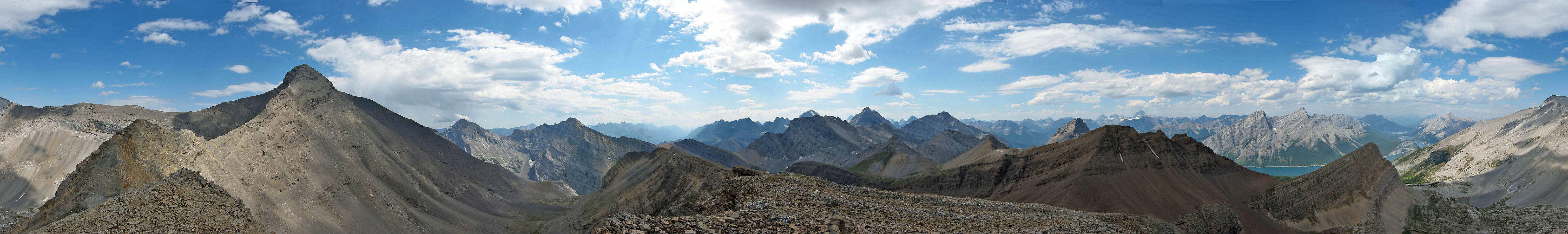
Mount Bogart (left) and it's striking west ridge seen from our turn-around point in this 360 panorama
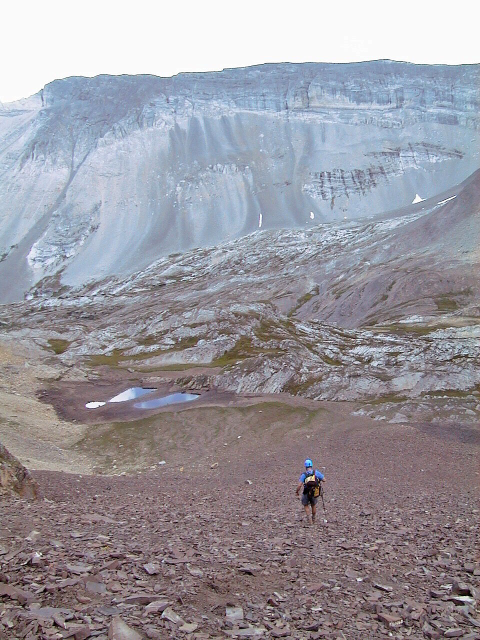
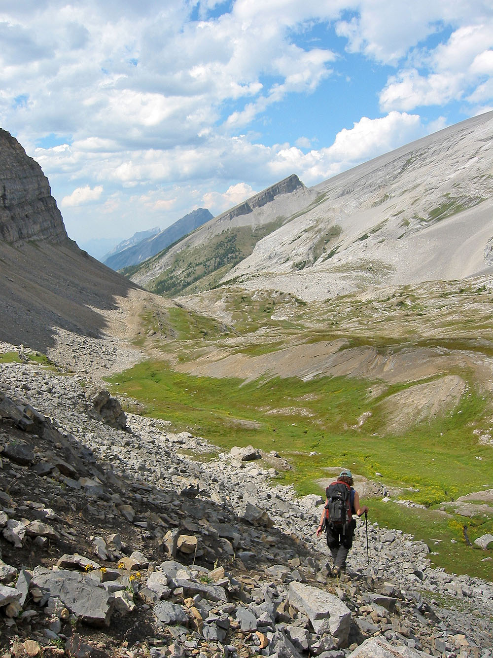
Heading down to the tarns
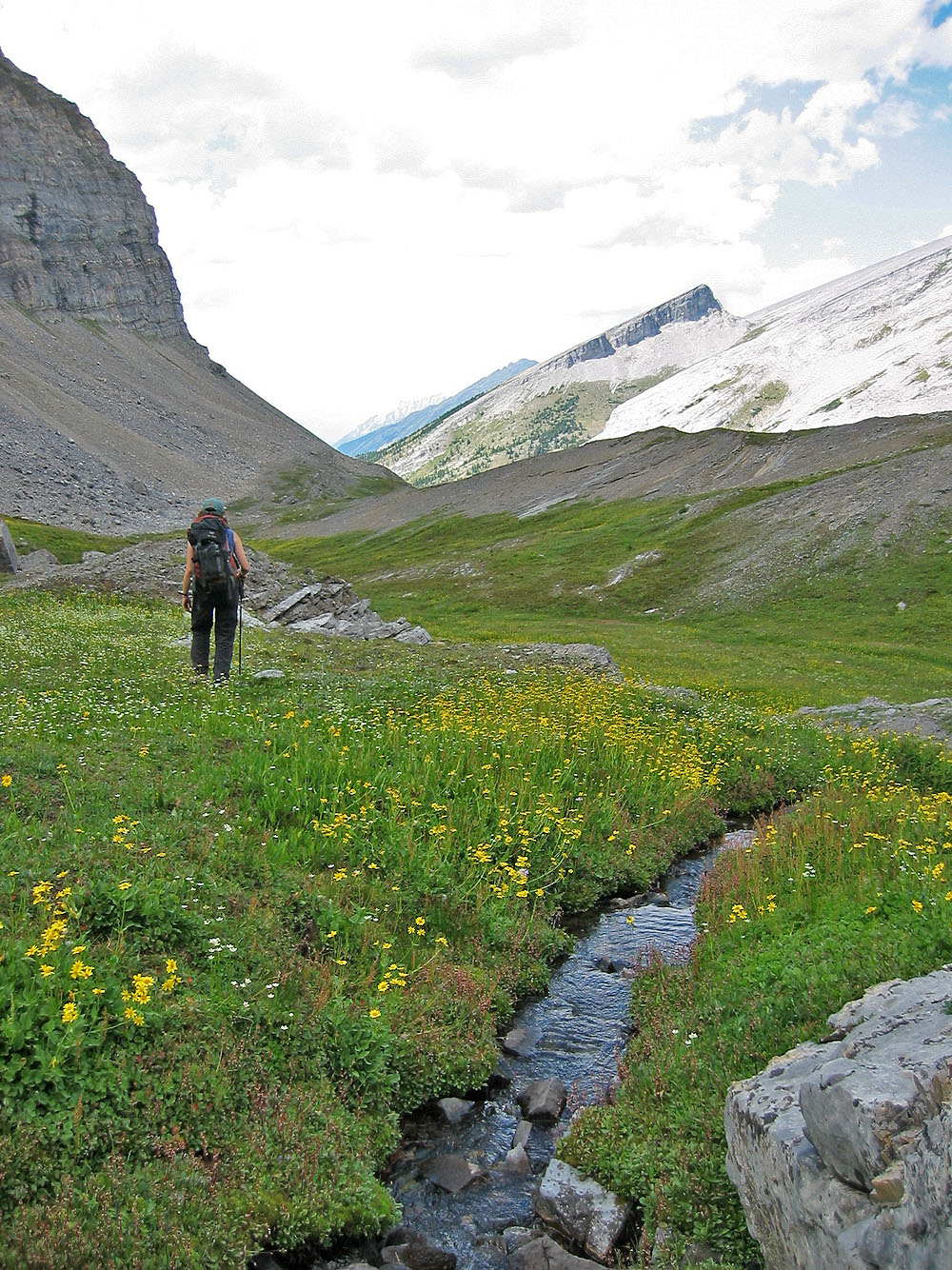
In themselves, the tarns are a pleasant destination
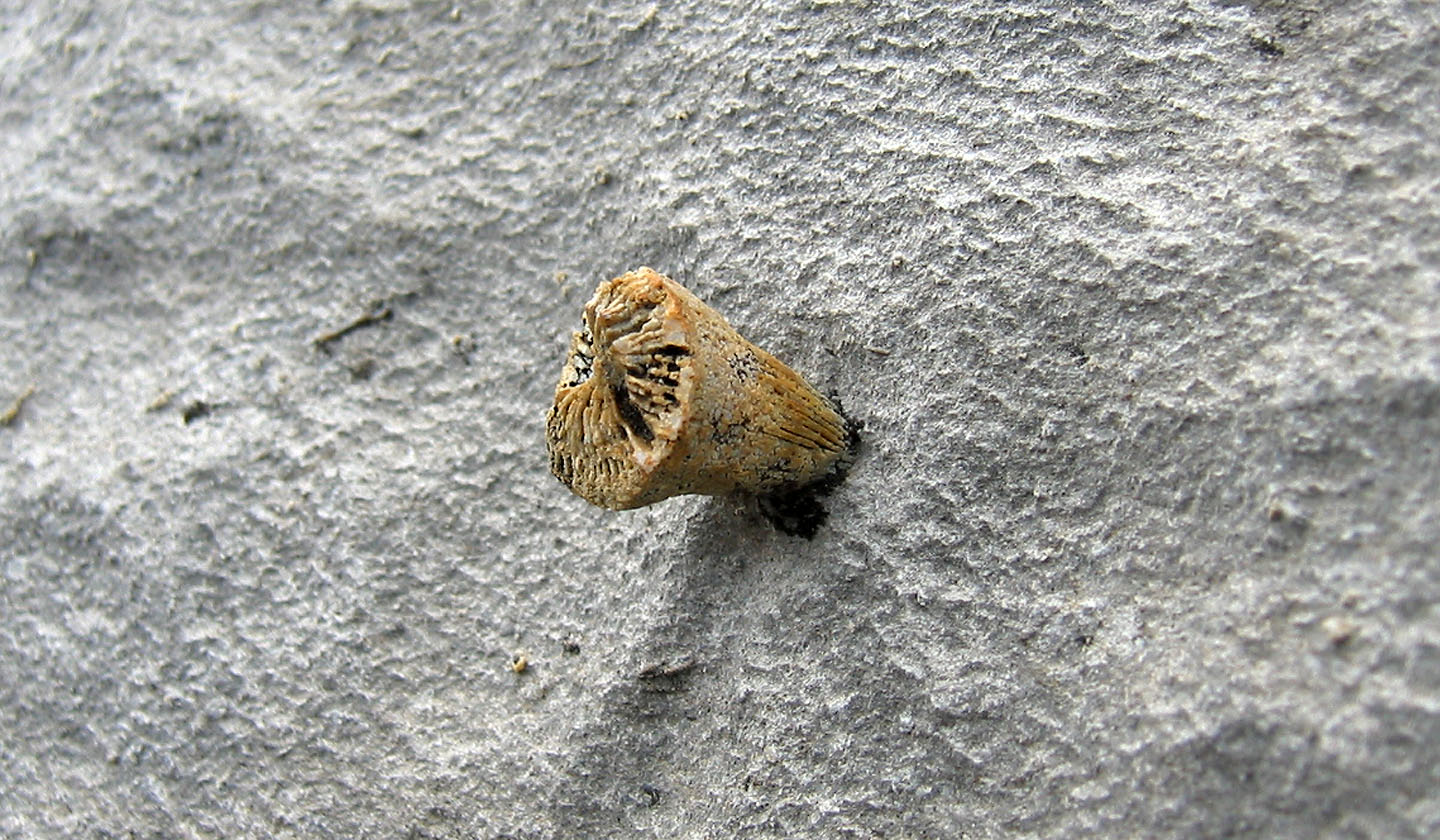
Fossil looks like a nail driven in a rock
The likely way to reach the west ridge is to the col on the skyline. We
reached the high point on the right, but cliff bands barred the way to the col.
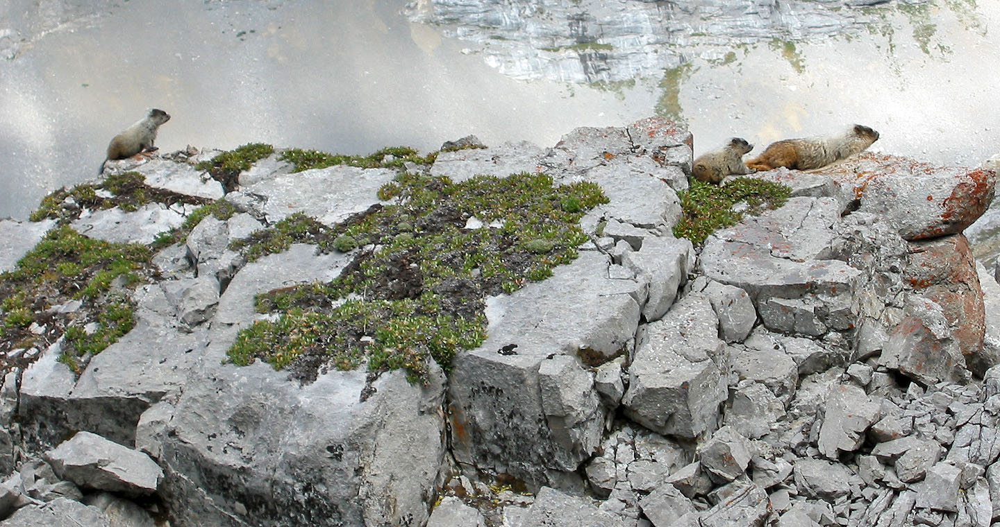 A family of marmots
Following the Sparrowhawk Tarns trail back
Heading back to our car
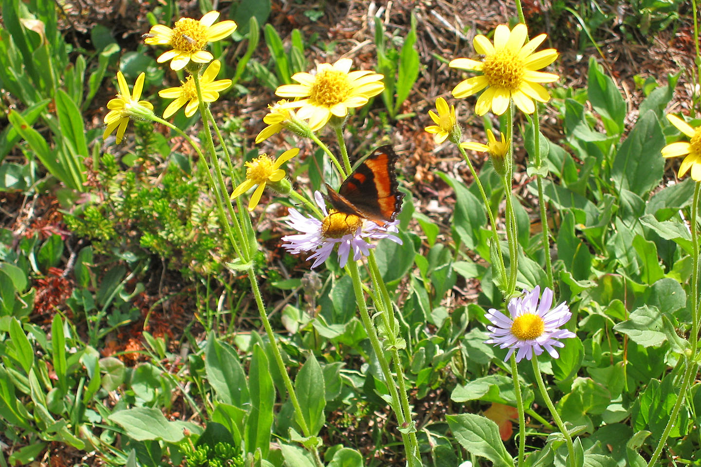 Butterfly on a purple fleabane
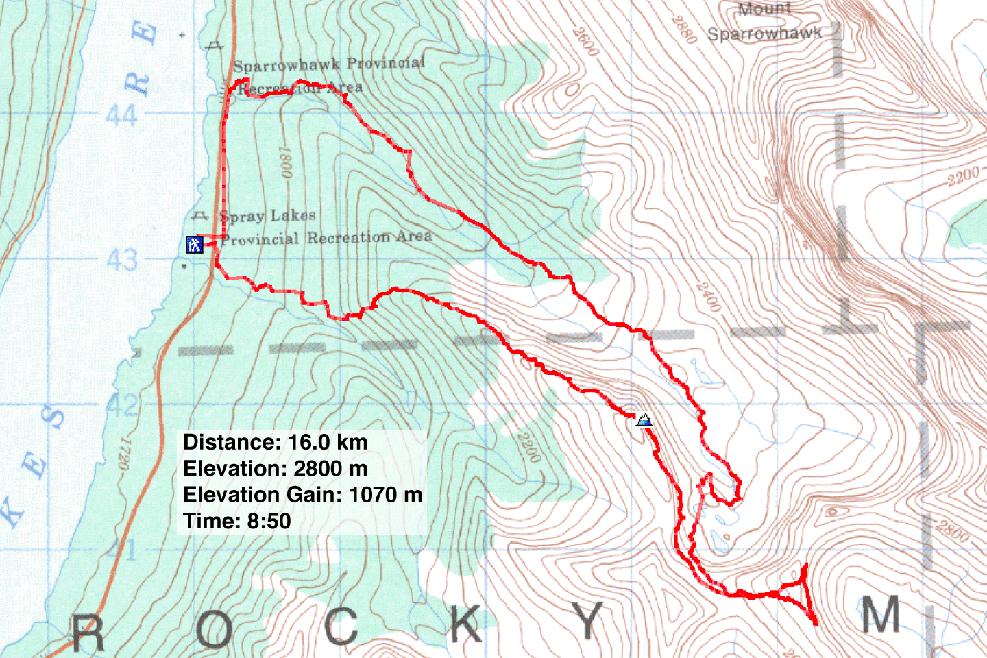
82 J/14 Spray Lakes