bobspirko.ca | Home | Canada Trips | US Trips | Hiking | Snowshoeing | MAP | About
Pigeon Mountain
Kananaskis, Alberta
December 10, 2004
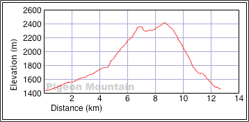
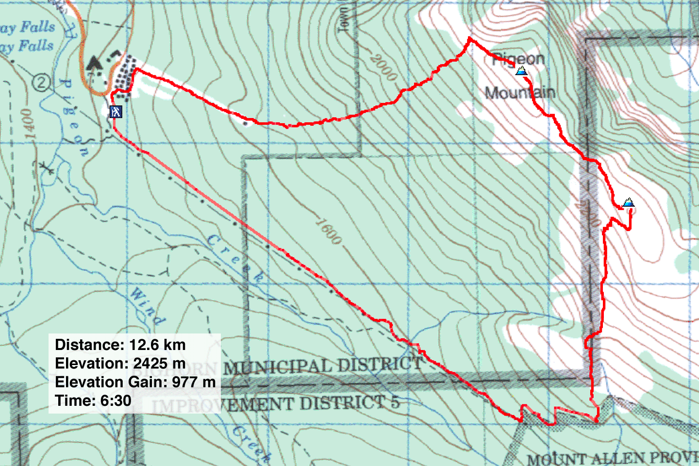
Distance: 12.6 km (7.8 mi)
Cumulative Elevation Gain: 1119 m (3671 ft)
Despite the miserable weather and boring approach for Pigeon Mountain, Dinah and I were glad to get out at a time of year when hikes are limited.
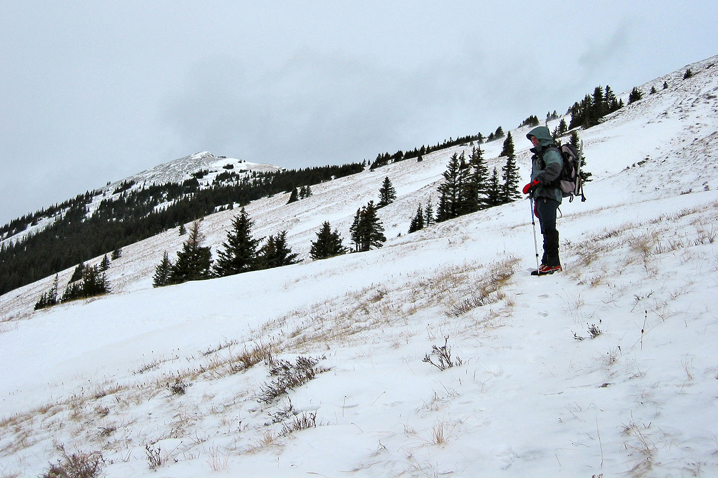
After following the Skogan Pass trail for 5 km, we took a side trail that led up the mountain. We looked forward to emerging from the forest, but once out of the trees, there was little to see because of intermittent snowfall and rising mist. Meanwhile, the wind kicked up snow and often blotted out the scenery.
We scrambled up to the lower south peak but learned it has little to recommend. We pushed on to the main summit. Along the way we saw some bighorn sheep. They gave way to us and scrambled down the mountainside.
We reached the summit without incident, although the weather had worsened. The weather obscured the view so much, that it was pointless to take a panorama from the top of Pigeon Mountain. We didn't stay long and decided to take a shortcut back to the car, one that would save us 4.5 km. It also took us off the ridge where wind and snow were insufferable. I set a waypoint for the top of the ski hill and used my GPS receiver to guide us down through 2 km of forest to the top of an abandoned ski hill. Although bushwhacking wasn't bad, the descent was tedious; to keep on track, we were forced to hike over numerous small ridges. From there it was an easy one-kilometre stroll back to the car.
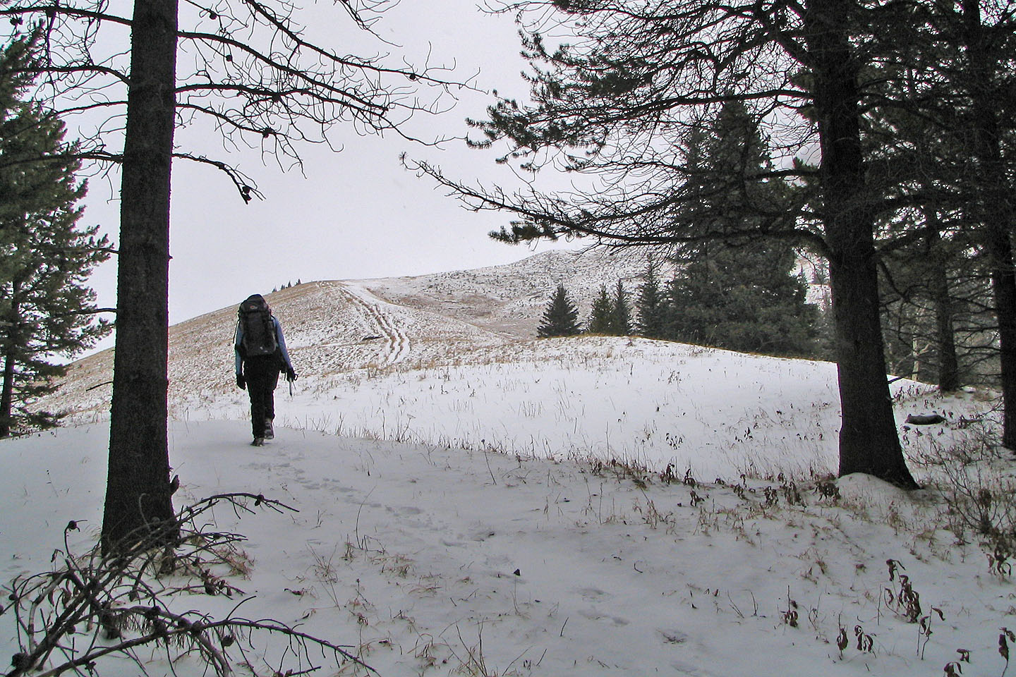
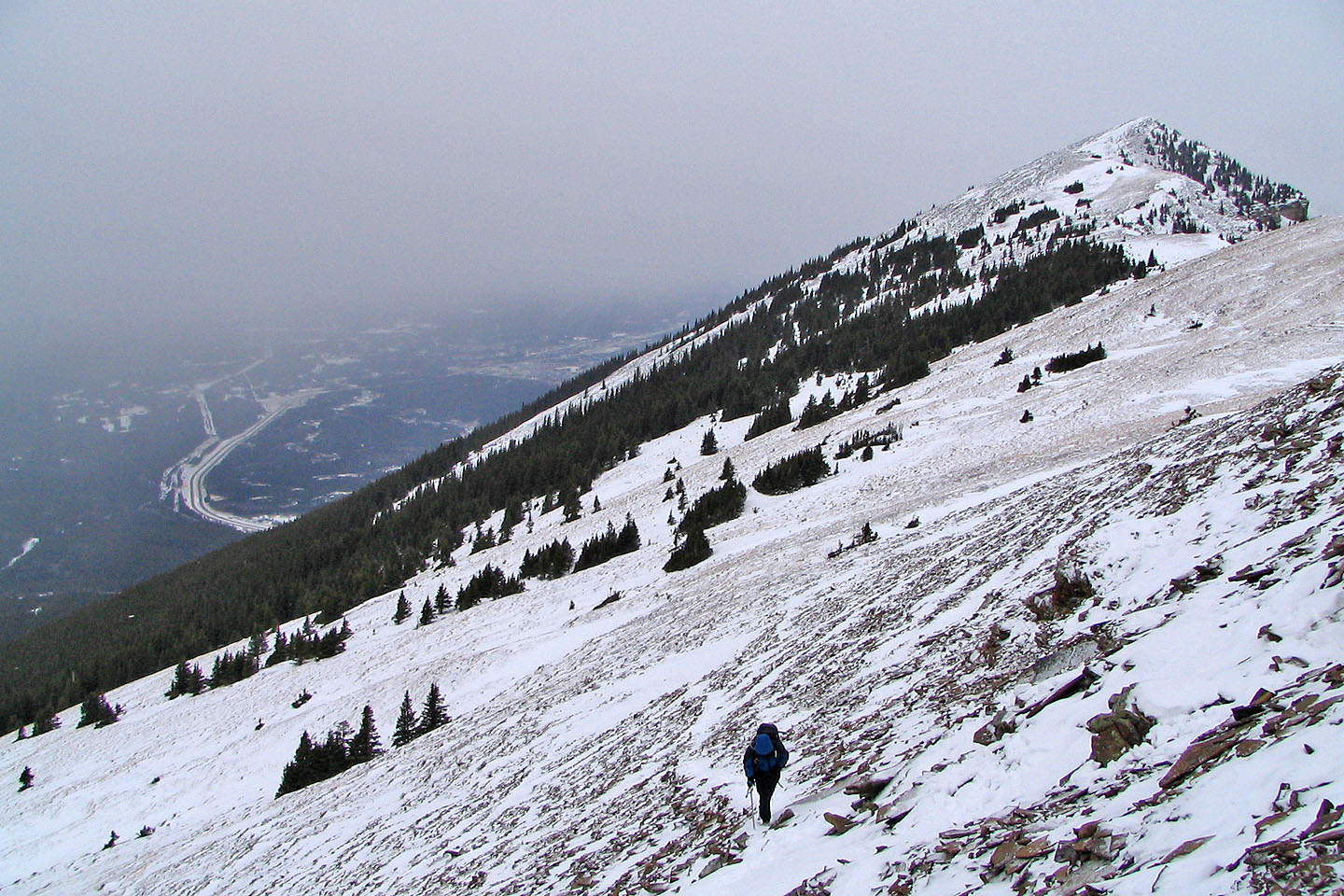
We finally left the trees and got on the open ridge
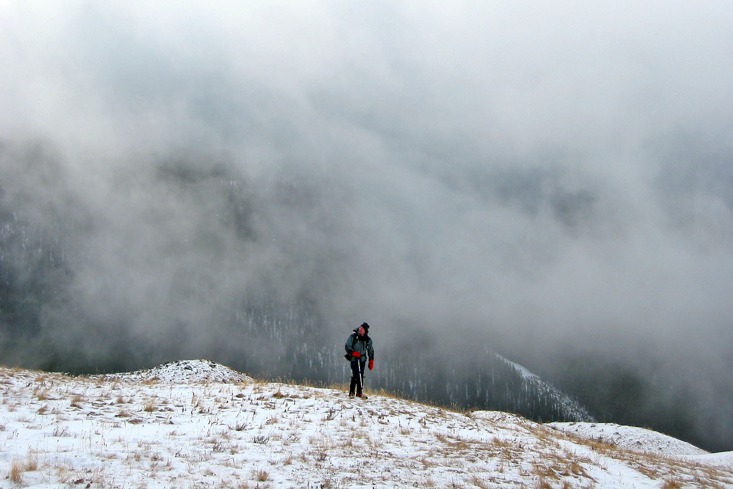
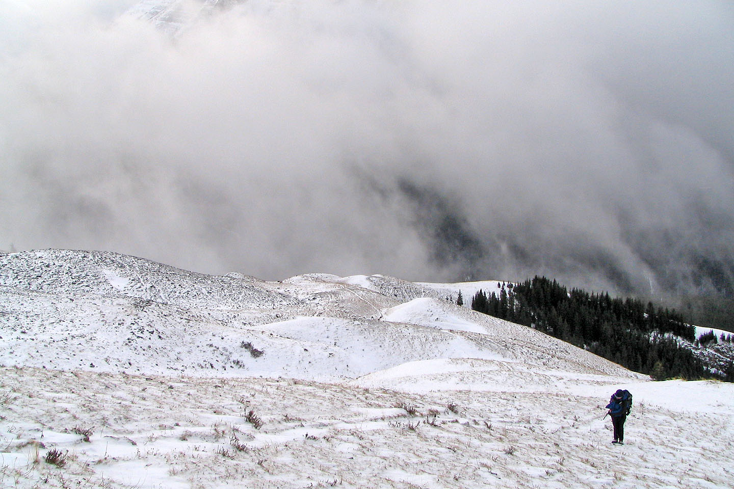
Behind us, rising mist blocked out the views
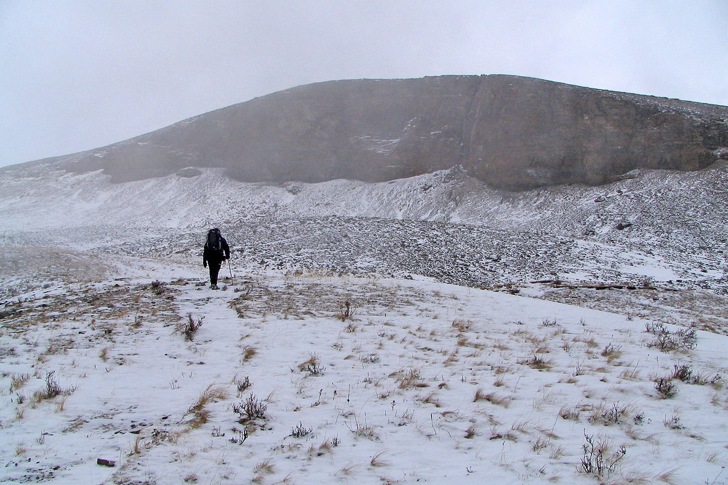
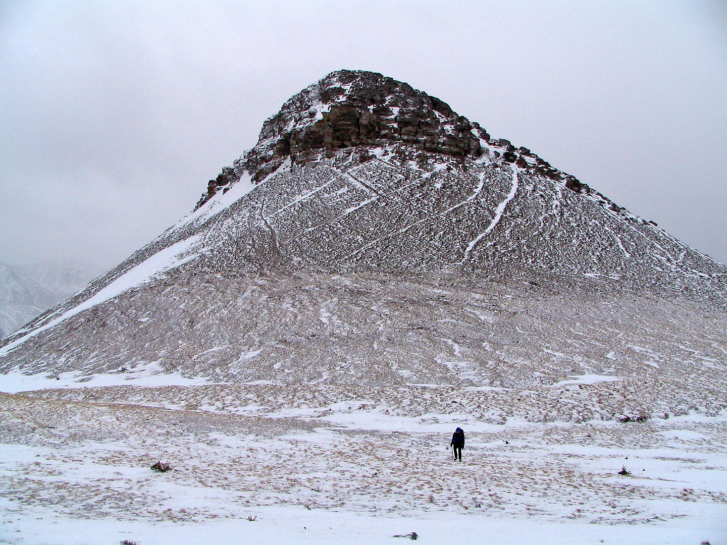
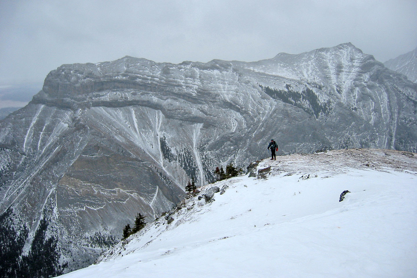
After the trees, a rock wall came into view
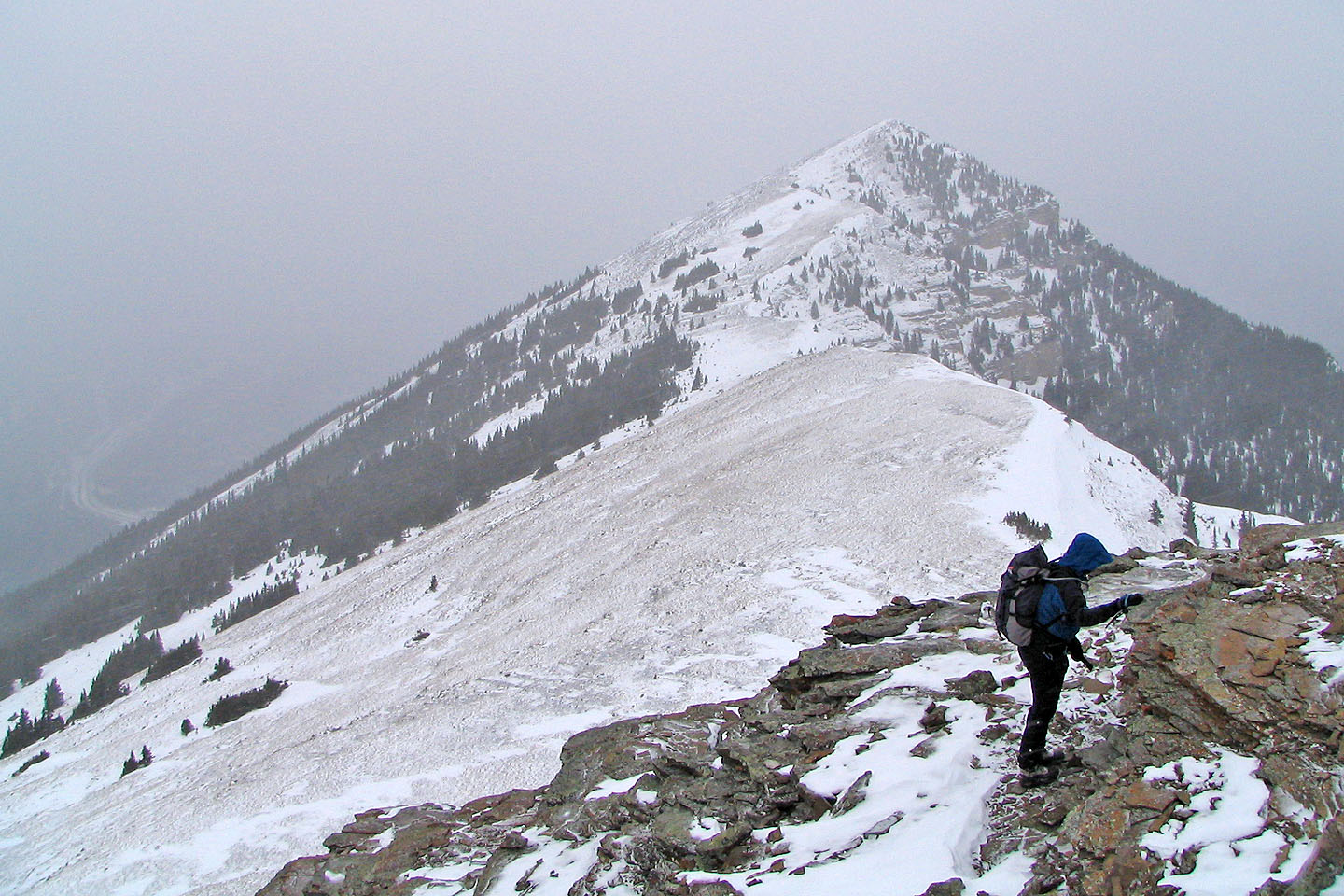
The north summit is some distance away
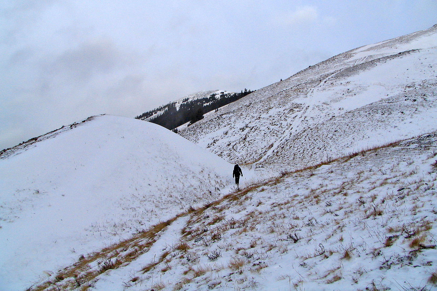
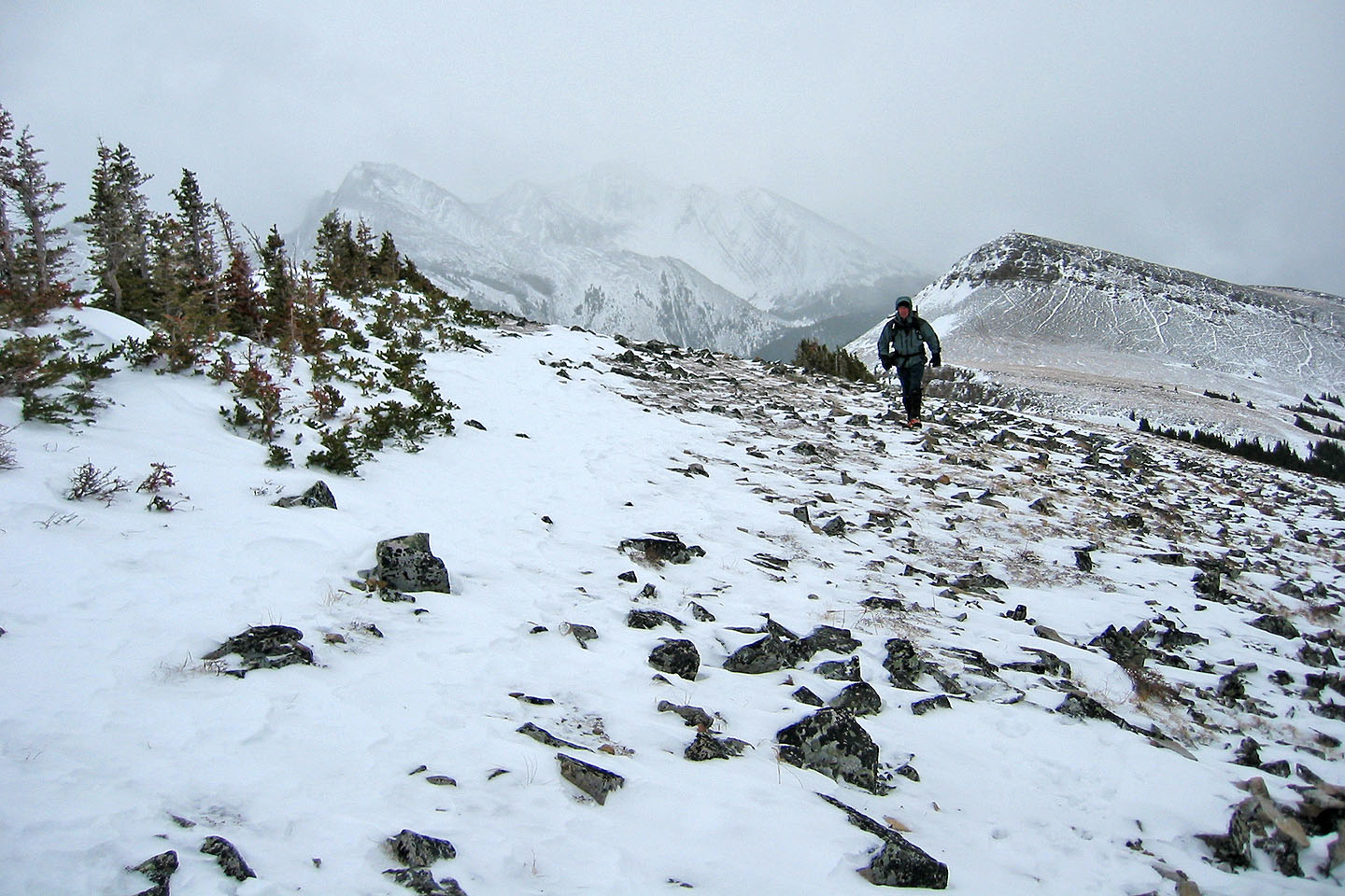
Hiking up an obvious trail
Looking back
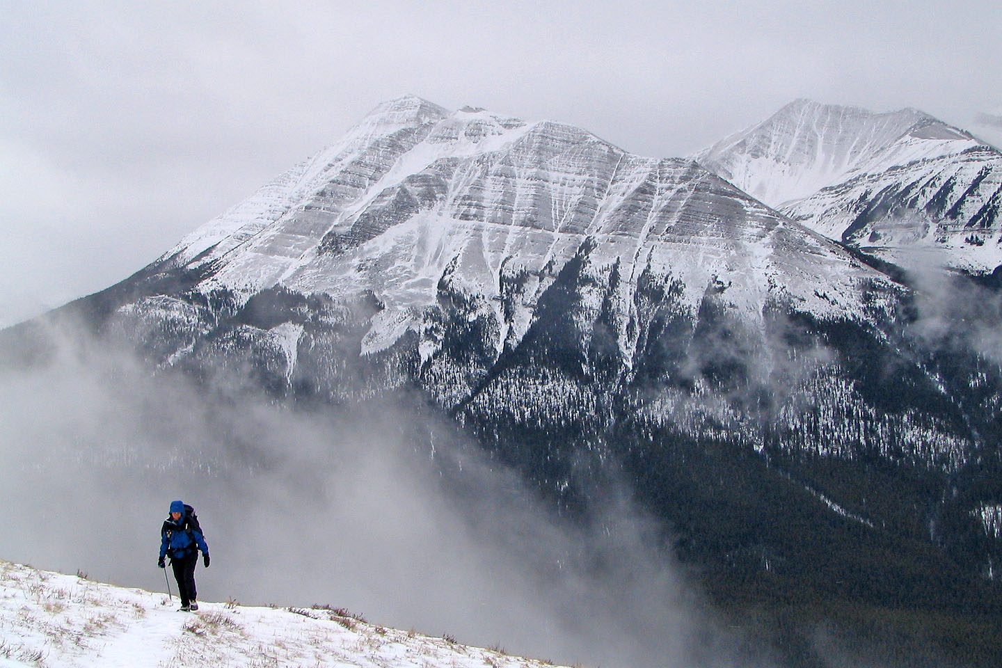
Collembola and Mount Allan in the background
On the slopes beneath the south summit
View of the north summit from the south summit
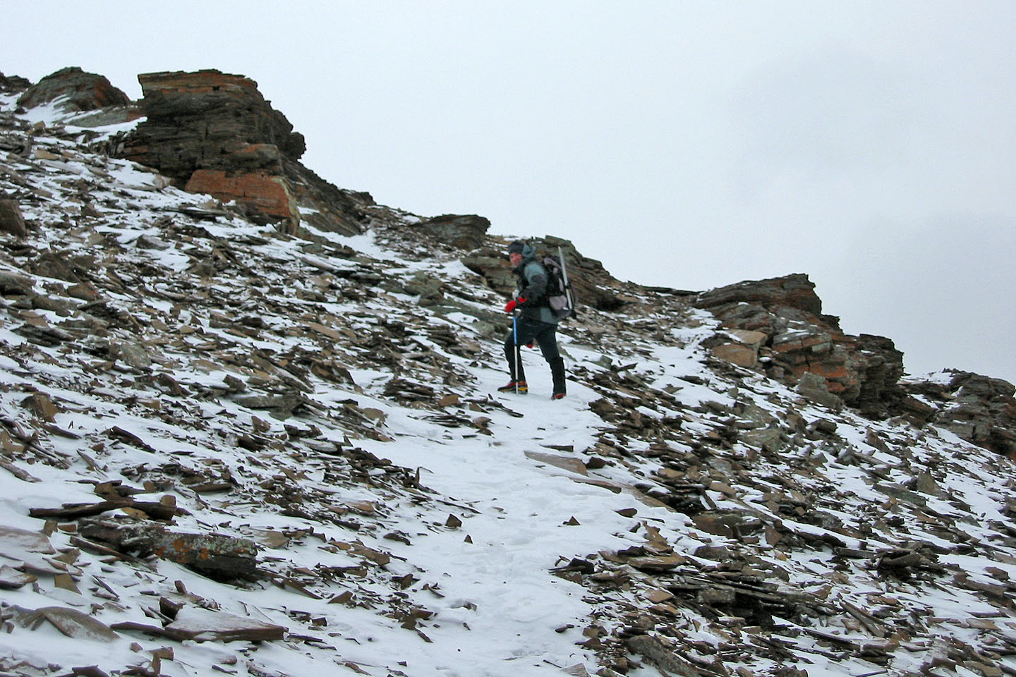
Following a trail down the south summit
 Leaving the south summit behind
Mount McGillivray lies east
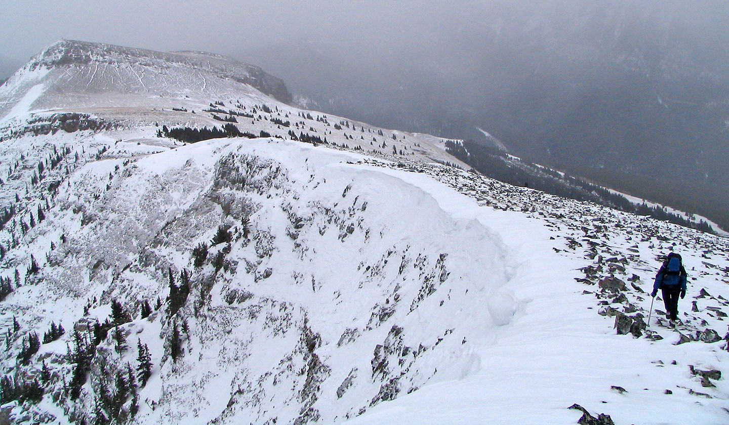
Traversing to the north summit
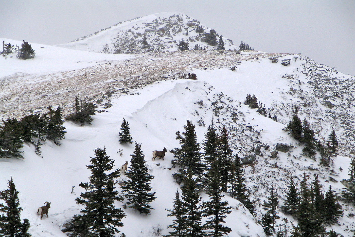
Mountain sheep flee as we approached them (mouse over for a close-up)
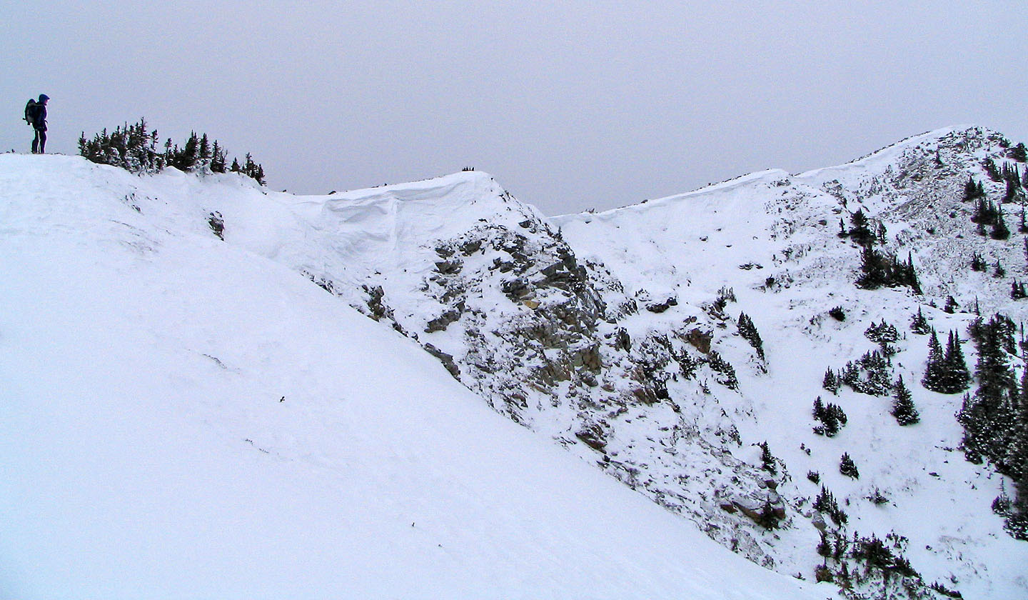
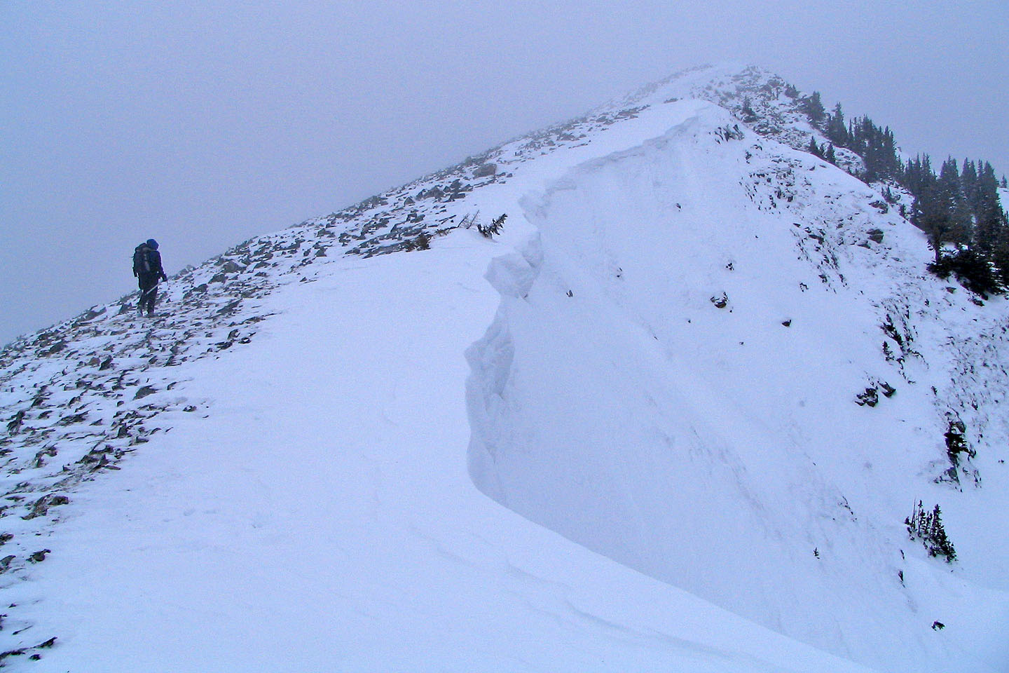
Following the ridge to the north summit
Looking back at the south summit from the north summit
Nearing the summit
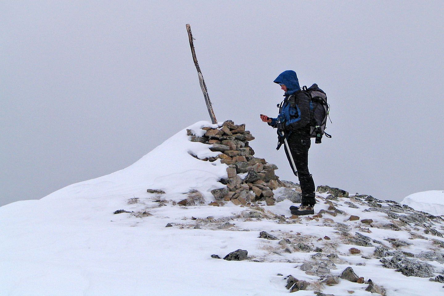
It was too cold to linger on top!
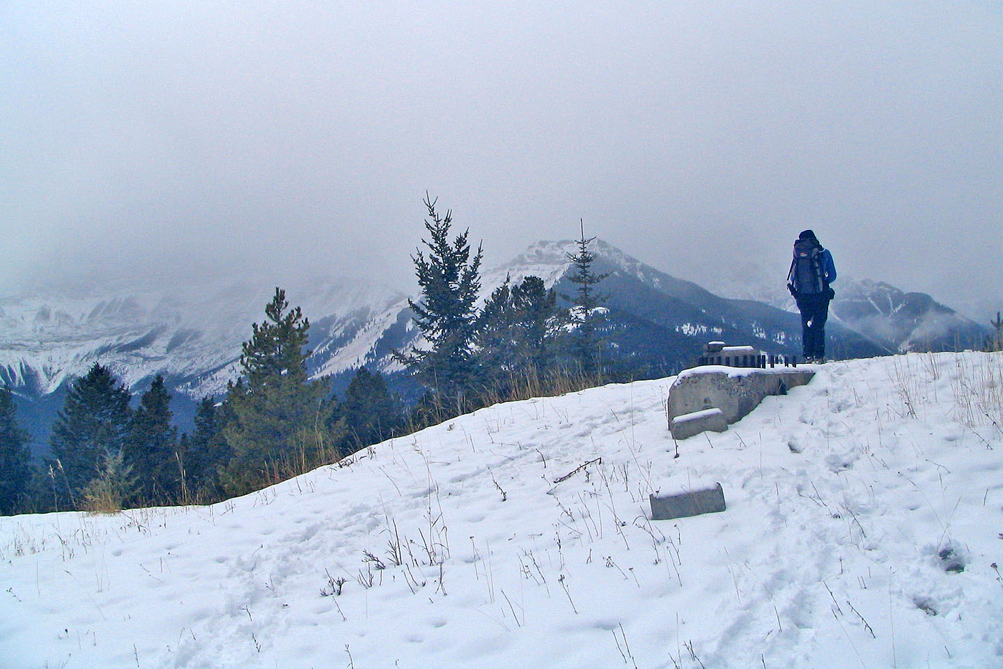
After bushwhacking down from the summit we were glad to reach the top of the ski hill
82 O/3 Canmore