bobspirko.ca | Home | Canada Trips | US Trips | Hiking | Snowshoeing | MAP | About
Livingstone South Peak
Crowsnest Pass, Alberta
April 19, 2003
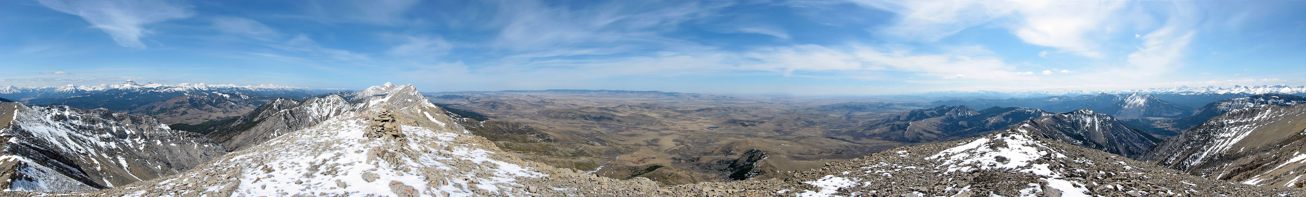
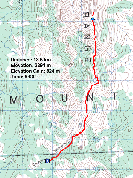
Following the description in Hiking The Historic Crowsnest, Dinah and I followed the route to a high point at the south end of Livingstone Range. To reach the trailhead, take the access road to the Frank Slide Interpretive Centre. After driving up a gravel road 1.6 km past a cattle crossing, we parked next to a 4x4 road. We started up the road before getting onto a gas line byway. We followed a cutline to the ridge crest and continued along to a high point.
We first tried to hike up this ridge in March but we turned back because of bad weather. A month later we had no difficulty reaching the summit. Given the limited choices of climbing high and seeing new scenery this time of year, this was a worthwhile outing. The hike begins on an old road north of Bellevue and then follows a cutline above a pipeline that extends to the ridge. (For more details, see our 2019 trip.)
Almost on the ridge
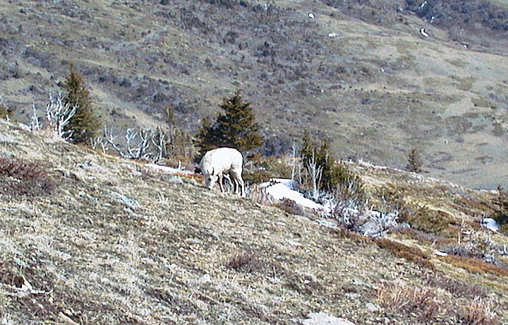
A lone sheep grazes on the lower slopes
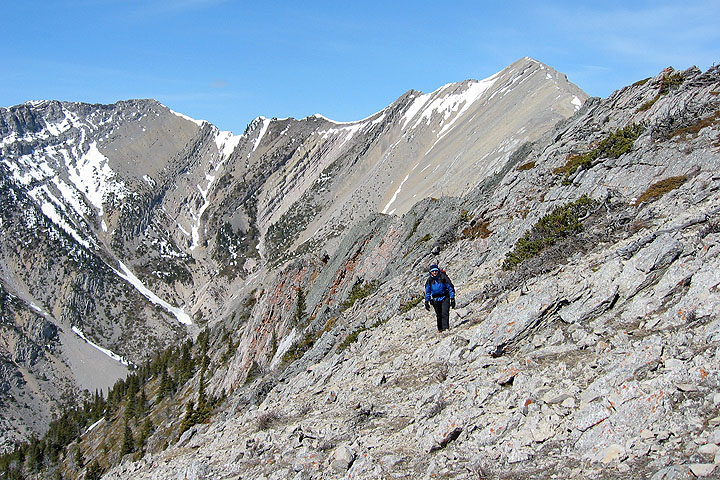
Soon after gaining the ridge we saw the summit (above Dinah)
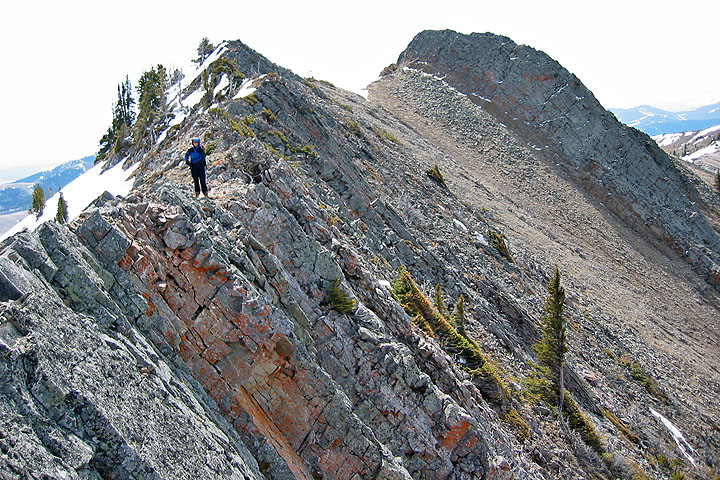
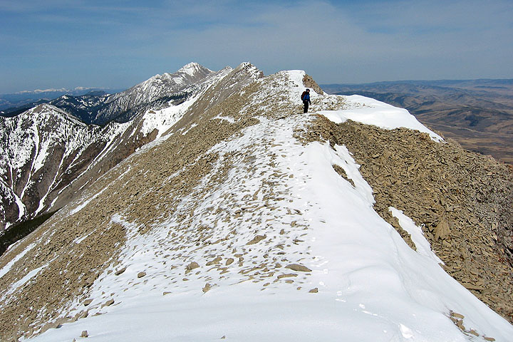
Back on the ridge crest
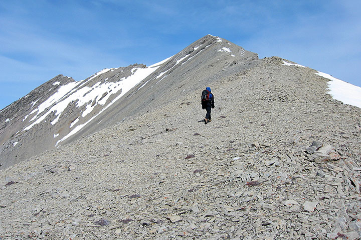
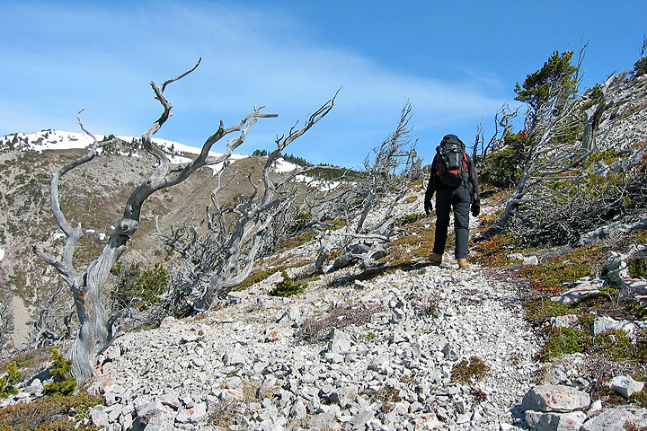
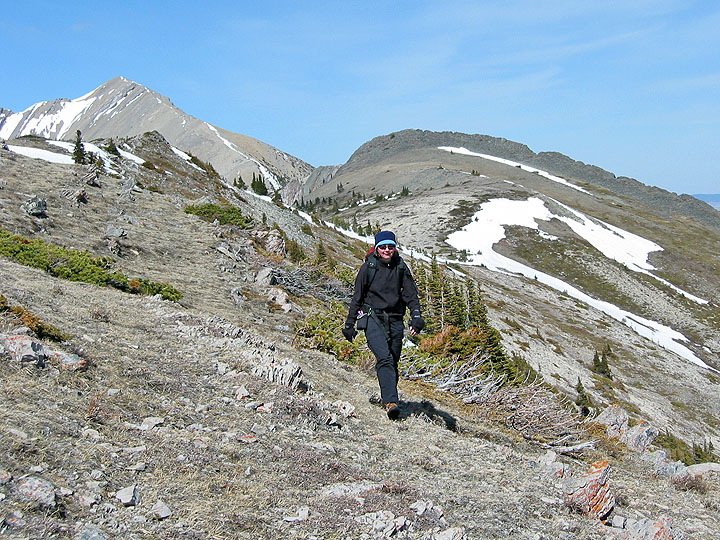
The ridge is mostly a hike
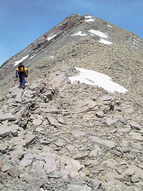
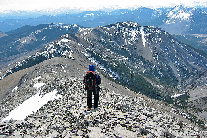
The grade steepens before the summit
Almost at the summit
View of the ridge as we hike back. Turtle Mountain in the upper right corner.
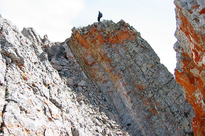
Colorful lichen on the rock
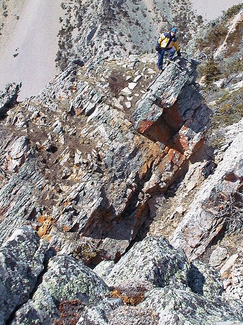
I climbed up some interesting rock for the heck of it
Heading back along the ridge. Summit is left. On the right is the notch on the black ridge that we hiked through.
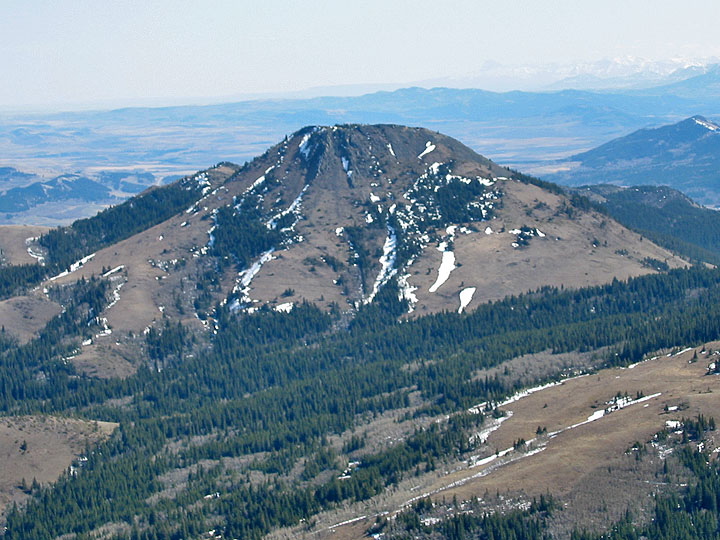
Robertson Peak
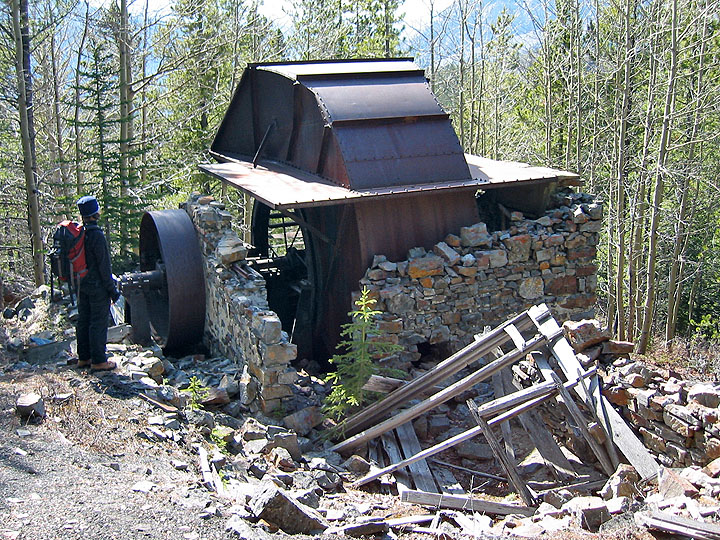
On our way back, we stopped to look at a ventilation fan from an abandoned mine
82 G/9 Blairmore