bobspirko.ca | Home | Canada Trips | US Trips | Hiking | Snowshoeing | MAP | About

Cummings Ridge
Kananaskis, Alberta
November 3, 2018
Distance: 10.6 km (6.6 mi)
Cumulative Elevation Gain: 665 m (2182 ft)
I got the idea of ascending this ridge after seeing it from the East Peak of Pasque a few weeks ago. After researching this ridge, I was surprised to see an attractive approach. Starting from the Pasque Mountain trailhead, it appeared possible to start up a trail – part of the Cataract Creek snowmobile trail network – and then take a side road within reach of the south ridge. A ridgewalk would finish the trip.
Sonny, Zosia and Ali joined me on this adventure. After parking, we walked 200 m up a road and crossed Wilkinson Creek. (I called the peak "Wilkinson Ridge," only later to discover "Cummings Ridge" was commonly accepted.) After covering another 100 m on the road, we turned right onto the snowmobile trail.
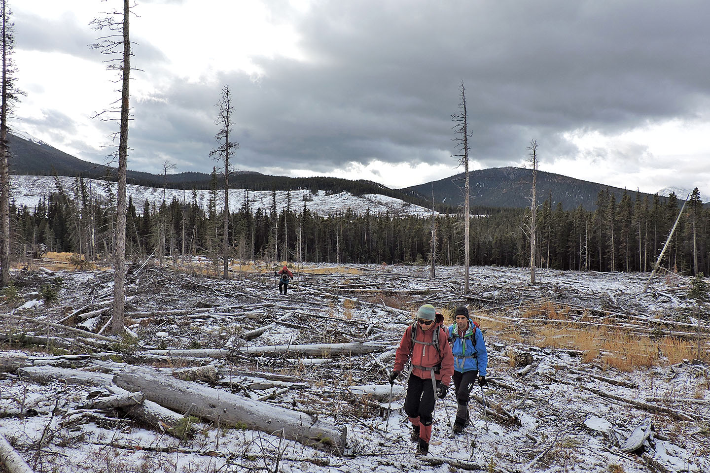
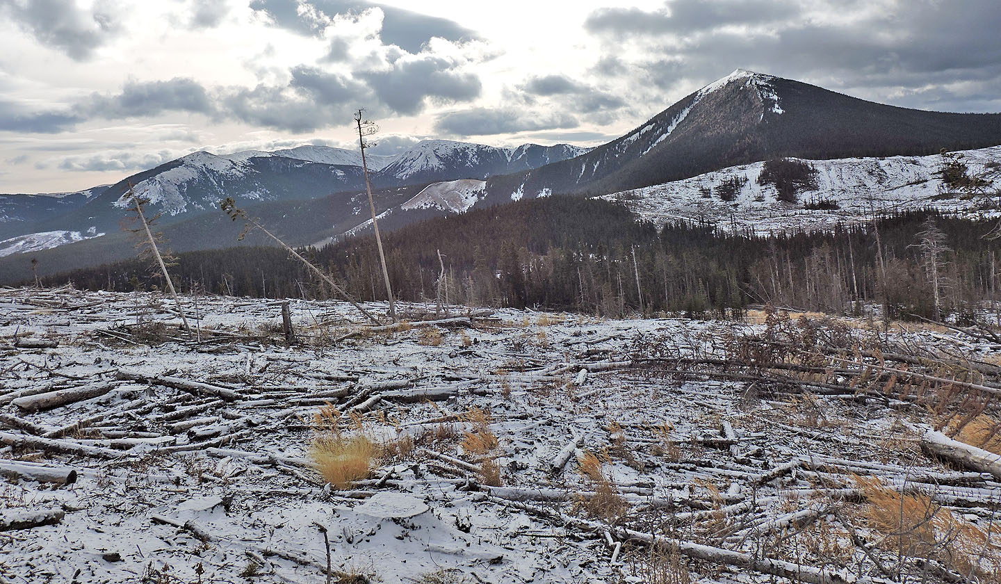
The broad trail, which could pass for a road, climbs steeply before cresting at a junction on the edge of a cutblock. We kept right, re-entered the trees, and followed the undulating trail to the side road. Except there was no road, just a swath of downed trees leading to a large cutblock. The side road appeared on Google Earth, but it was now gone, lost when the southwest slopes were logged.
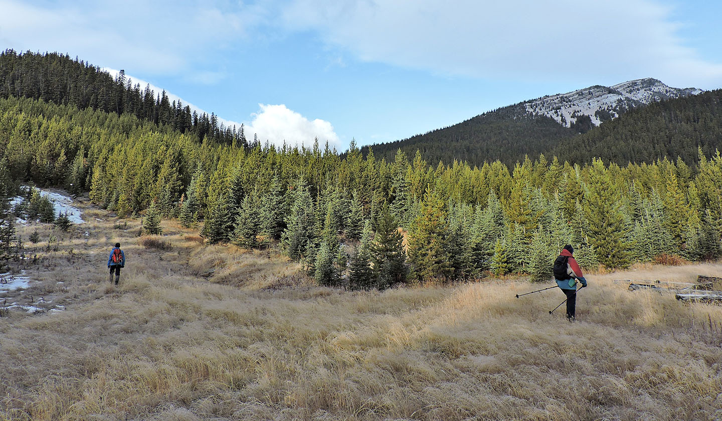
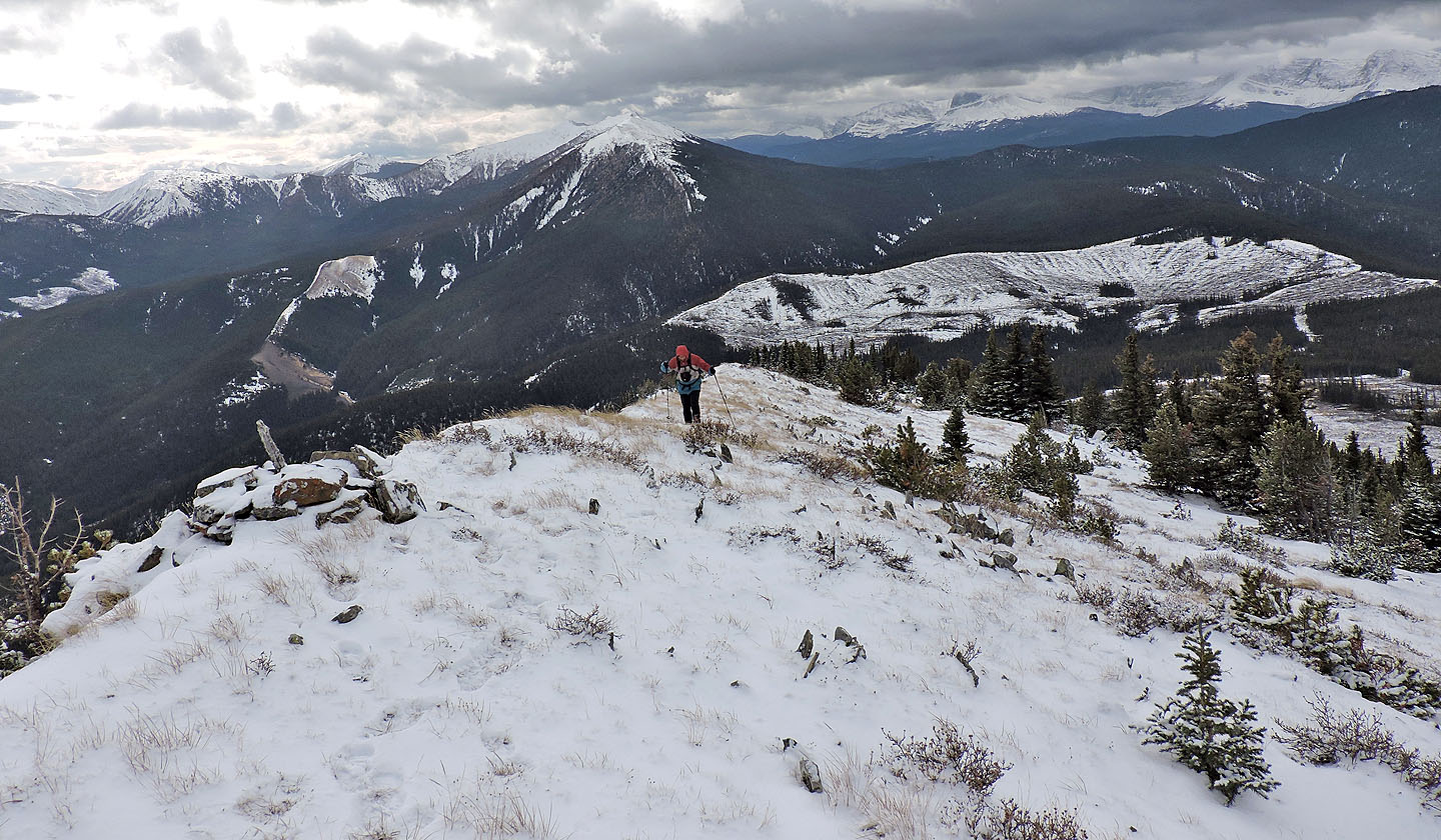
We crossed the cutblock and reached the south end of the treed ridge. Soon after entering the forest, we stumbled upon what remained of the road. We hiked a short distance before leaving it to ascend a strip of meadow on our left. After keeping to grassy corridors in the trees, we reached the crest. We followed the ridge, first treed, then grassy and then finally a narrow stretch of rock.
The summit, marked by a cairn, afforded good views all around. On a nicer day, we would have dallied, but the cold wind pushed us through a quick lunch before we headed back down, retracing our steps.
I wished I had climbed Cummings Ridge years ago when the forest and side road were still intact. But on the plus side, the cutblock offered plenty of views and easy travel. Most importantly, we all enjoyed the trip.
KML and GPX Tracks
Sonny's Trip Report
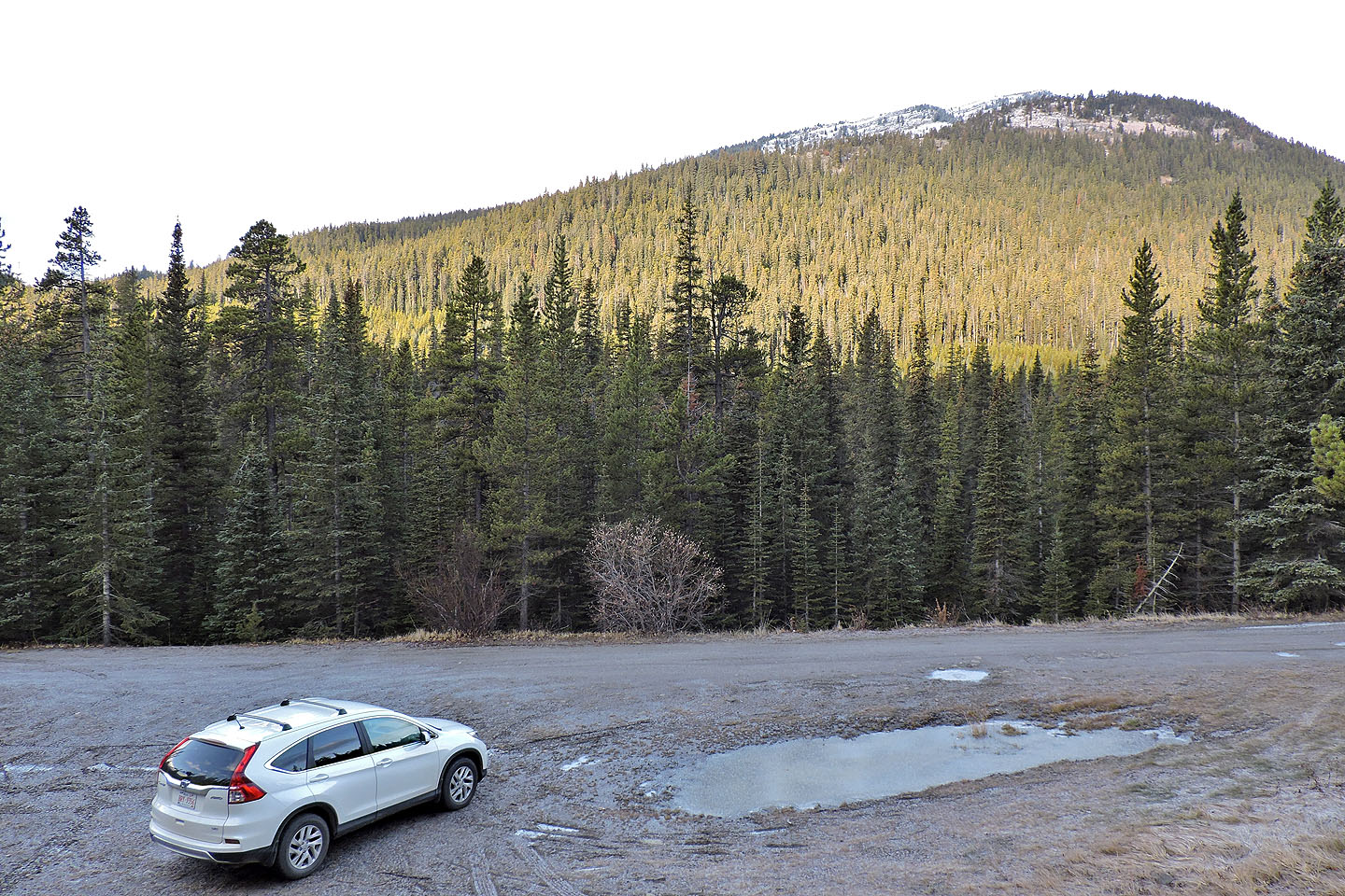
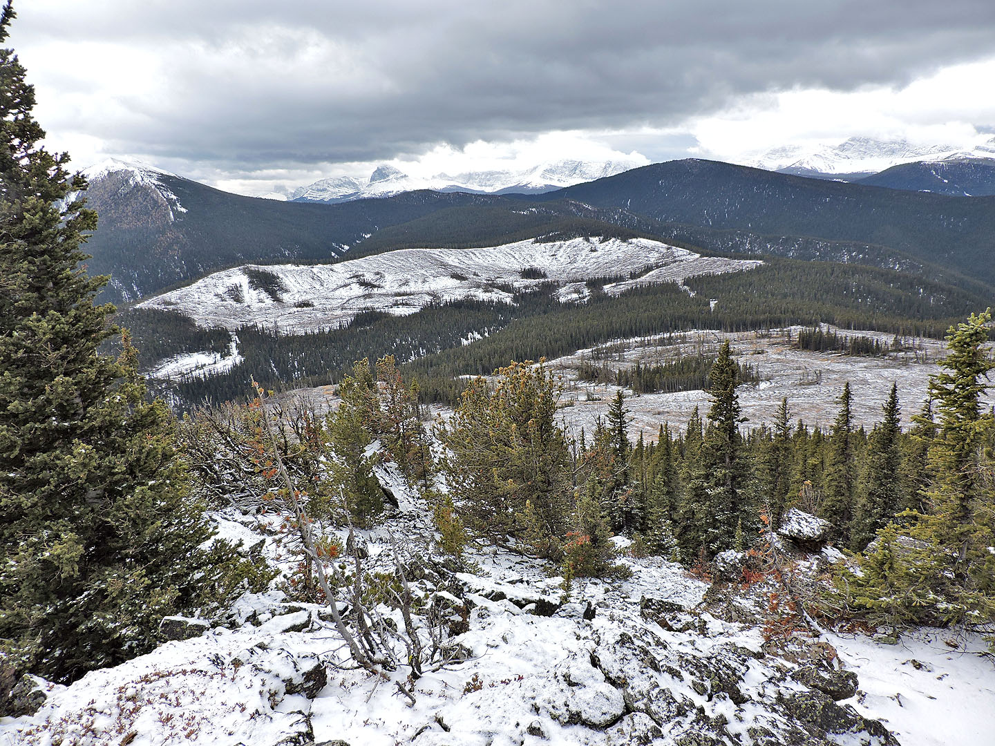
Cummings Ridge seen in the background from the trailhead
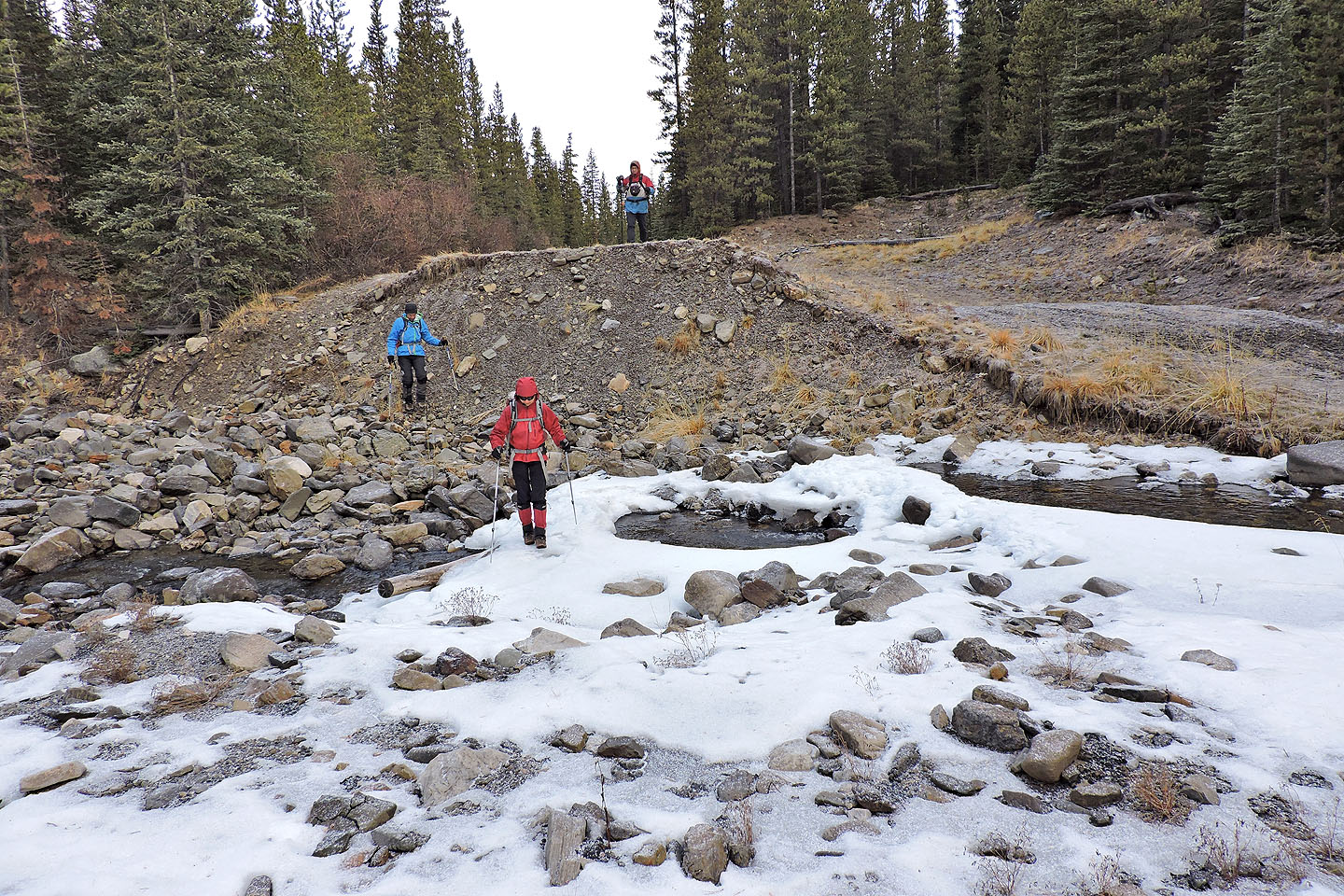
Soon after starting up the road we crossed Wilkinson Creek
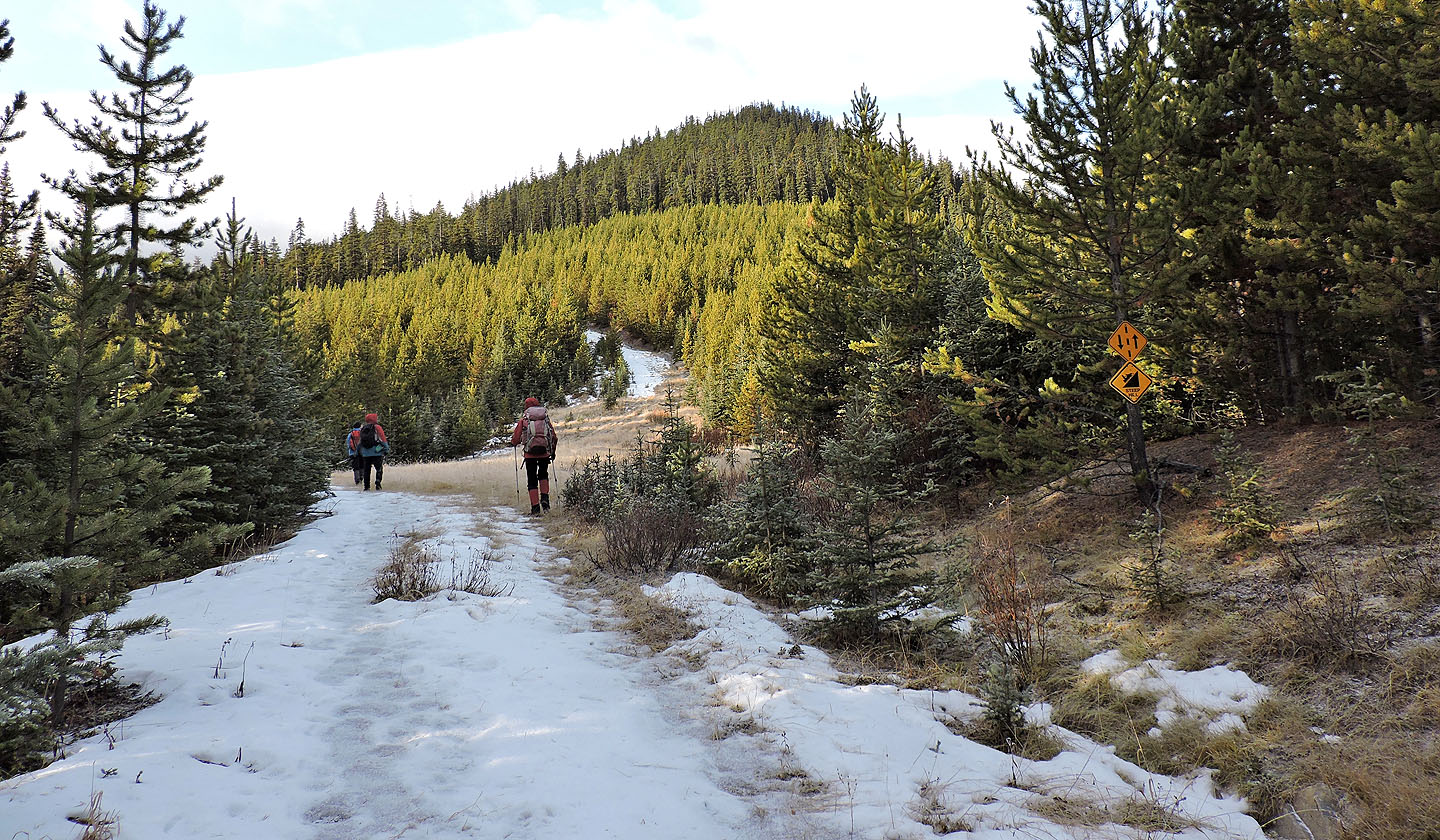
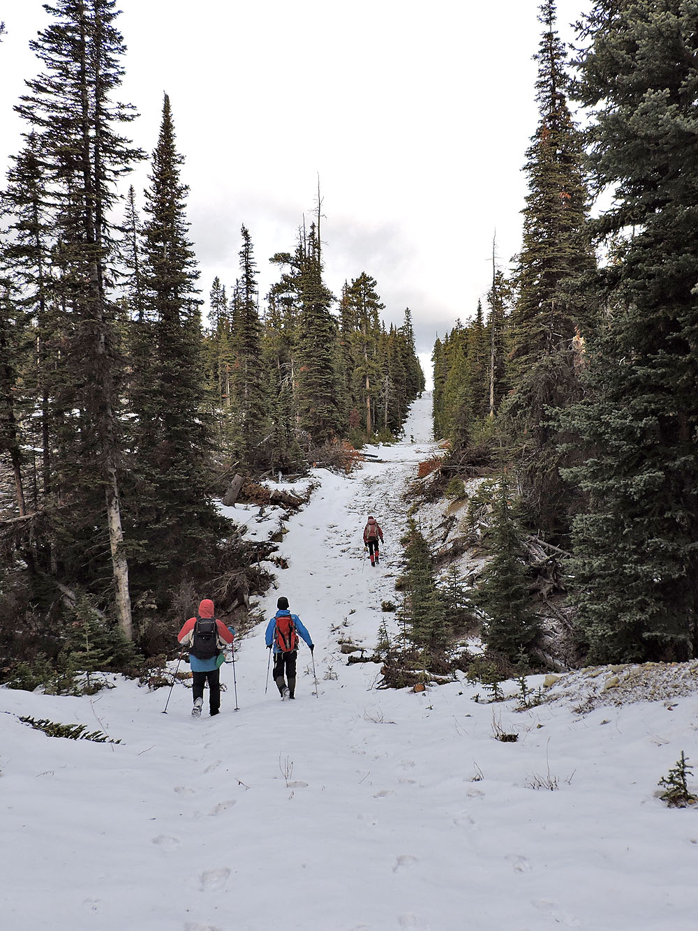
The snowmobile trail climbs the steep ridge ahead
A clearing reveals a good view of Wilkinson
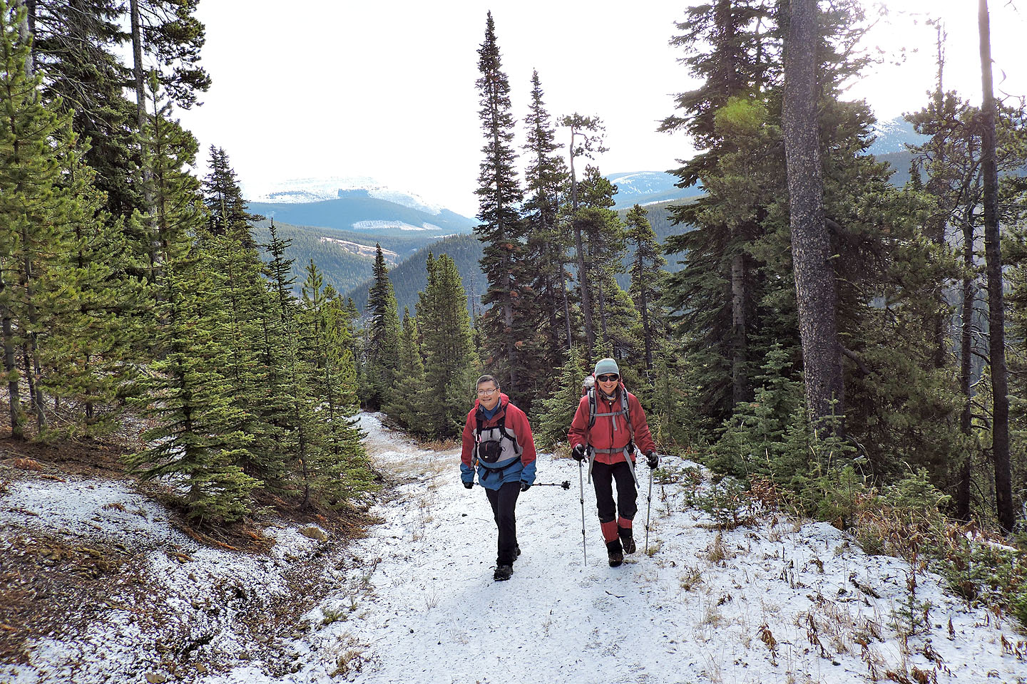
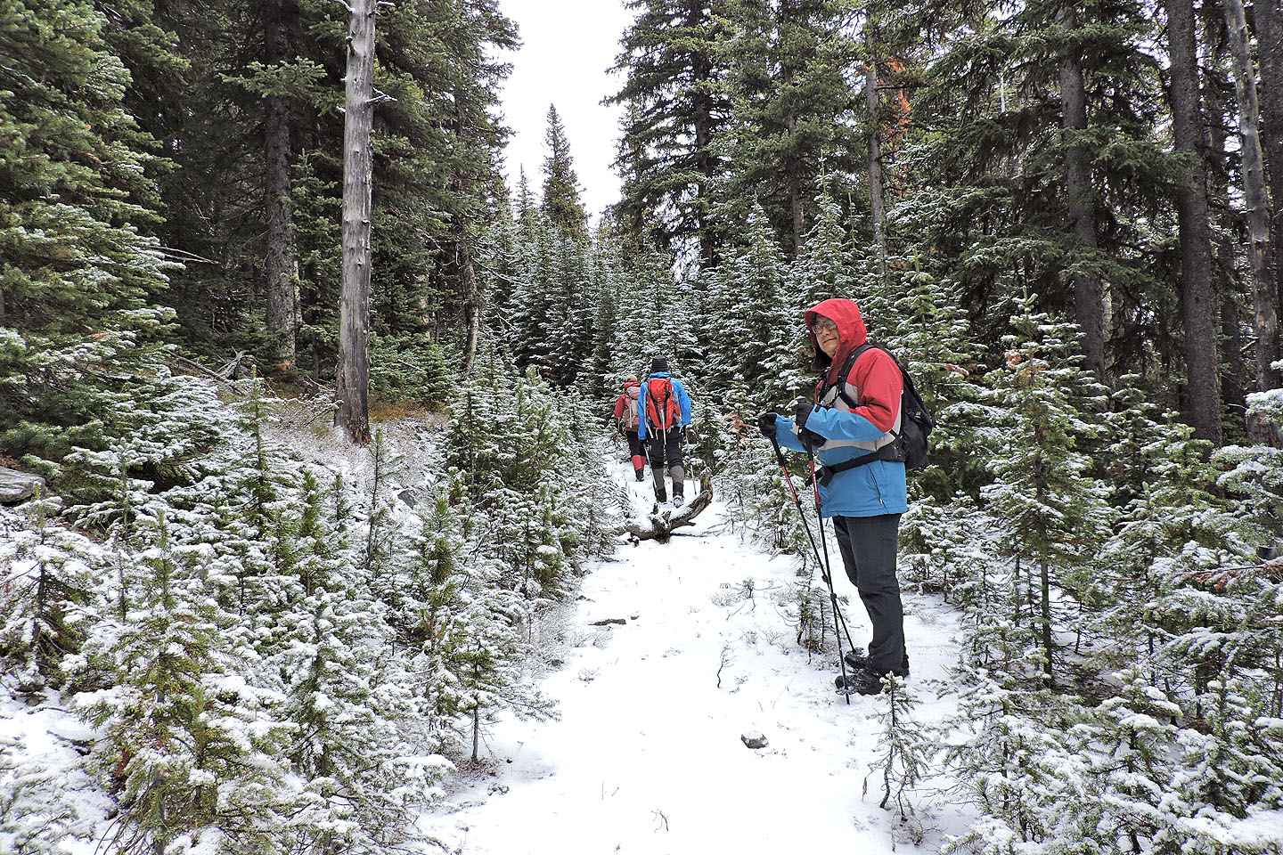
Sonny and Zosia are happy to hike up the trail
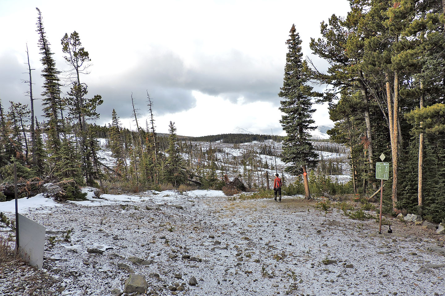
At the top of a rise, we turned right
We could see the ridge we'll ascend
Continuing up an undulating trail
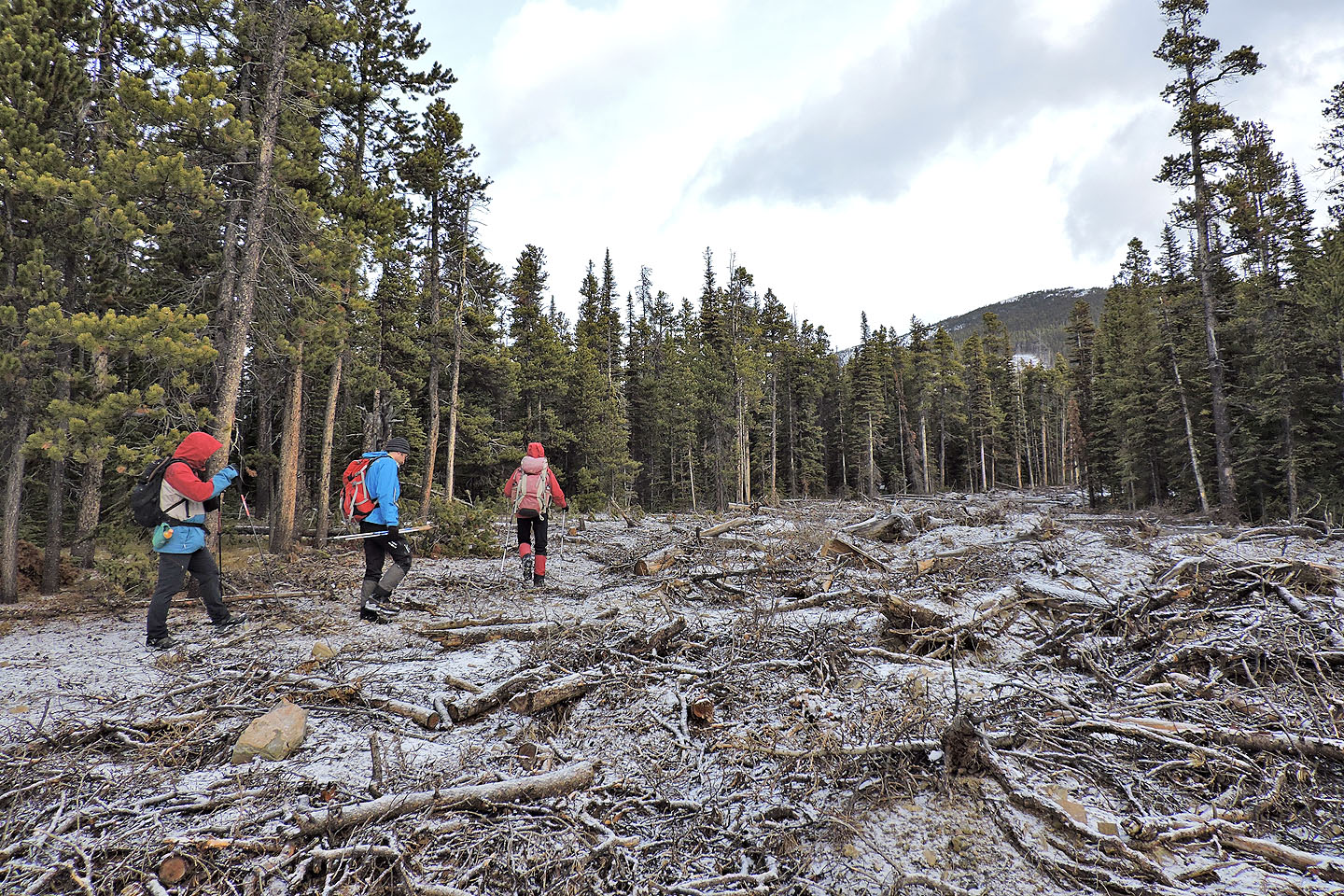
We left the trail here and started along a narrow cutblock, what had been a road
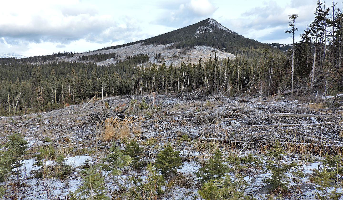
Looking back after entering the main cutblock
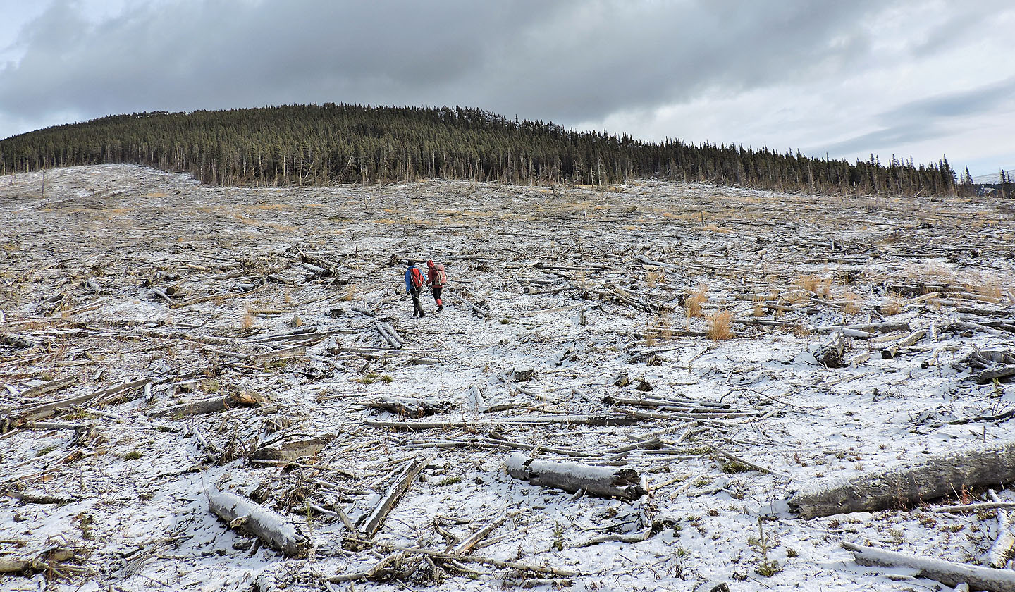
We made our way to the end of the ridge on the far right
Looking south at East Peak of Pasque and Pasque Mountain
After reaching the end of the ridge we came across a section of road untouched by logging
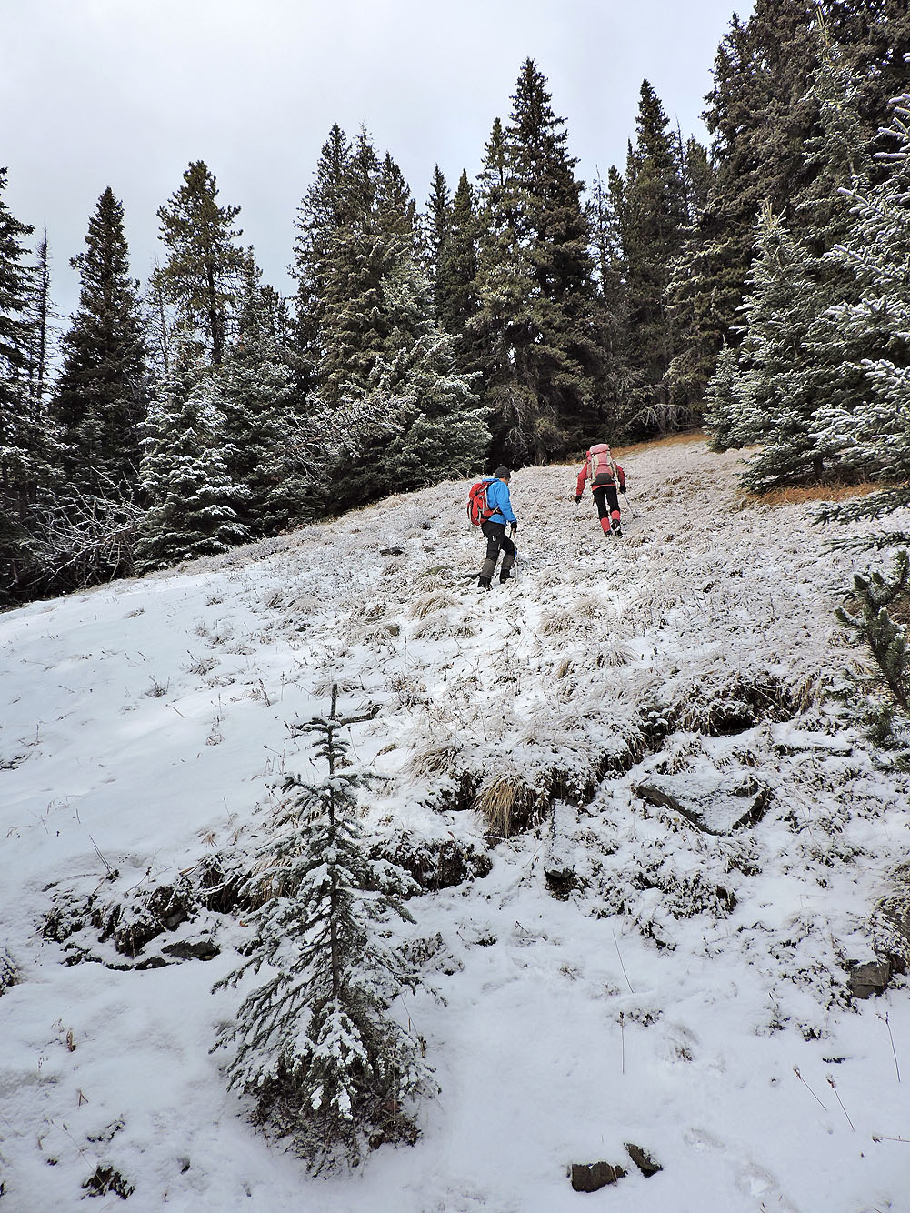
We left the road at a meadow
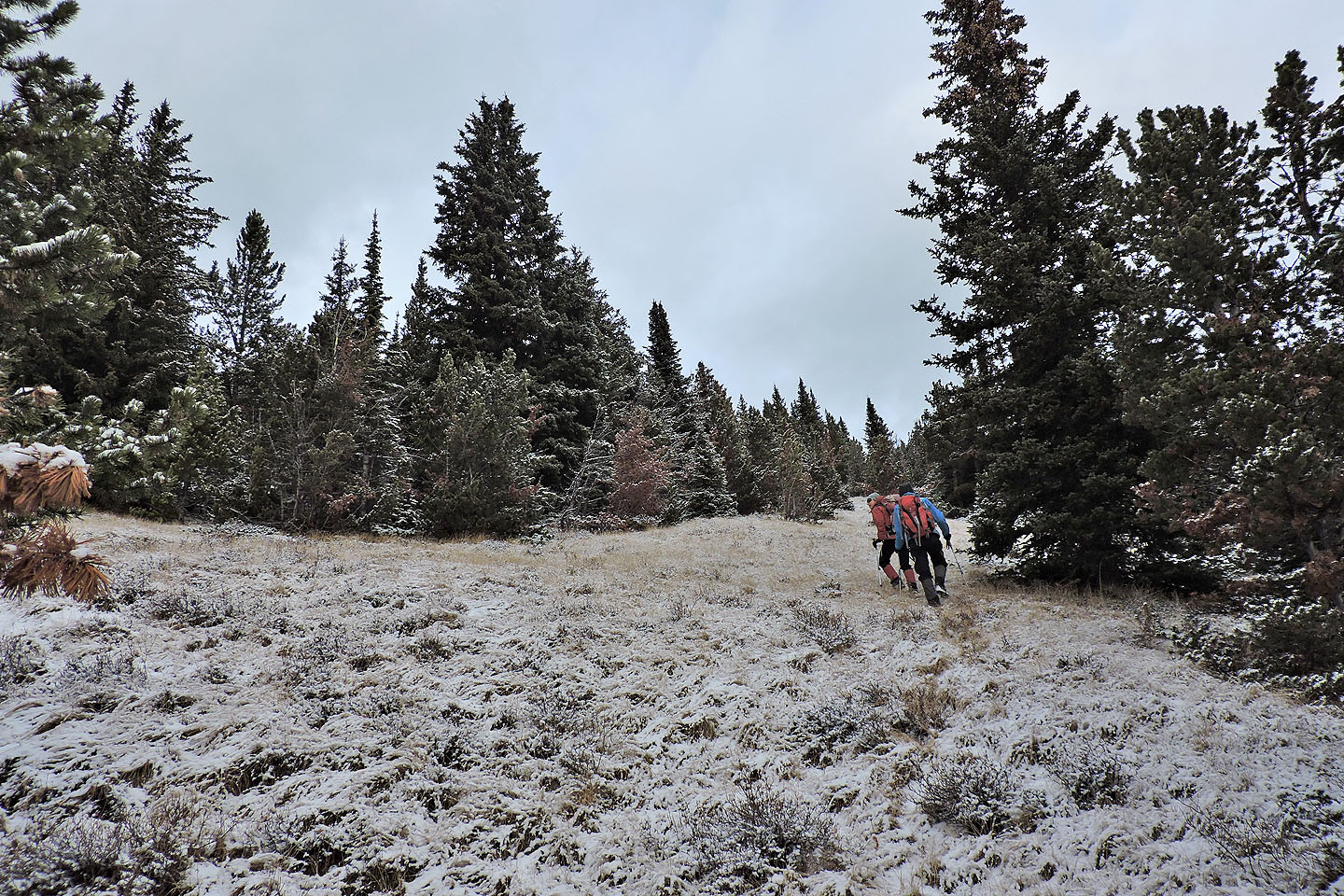
We followed grassy corridors to the ridge crest
 From the crest we could see the cutblock we crossed
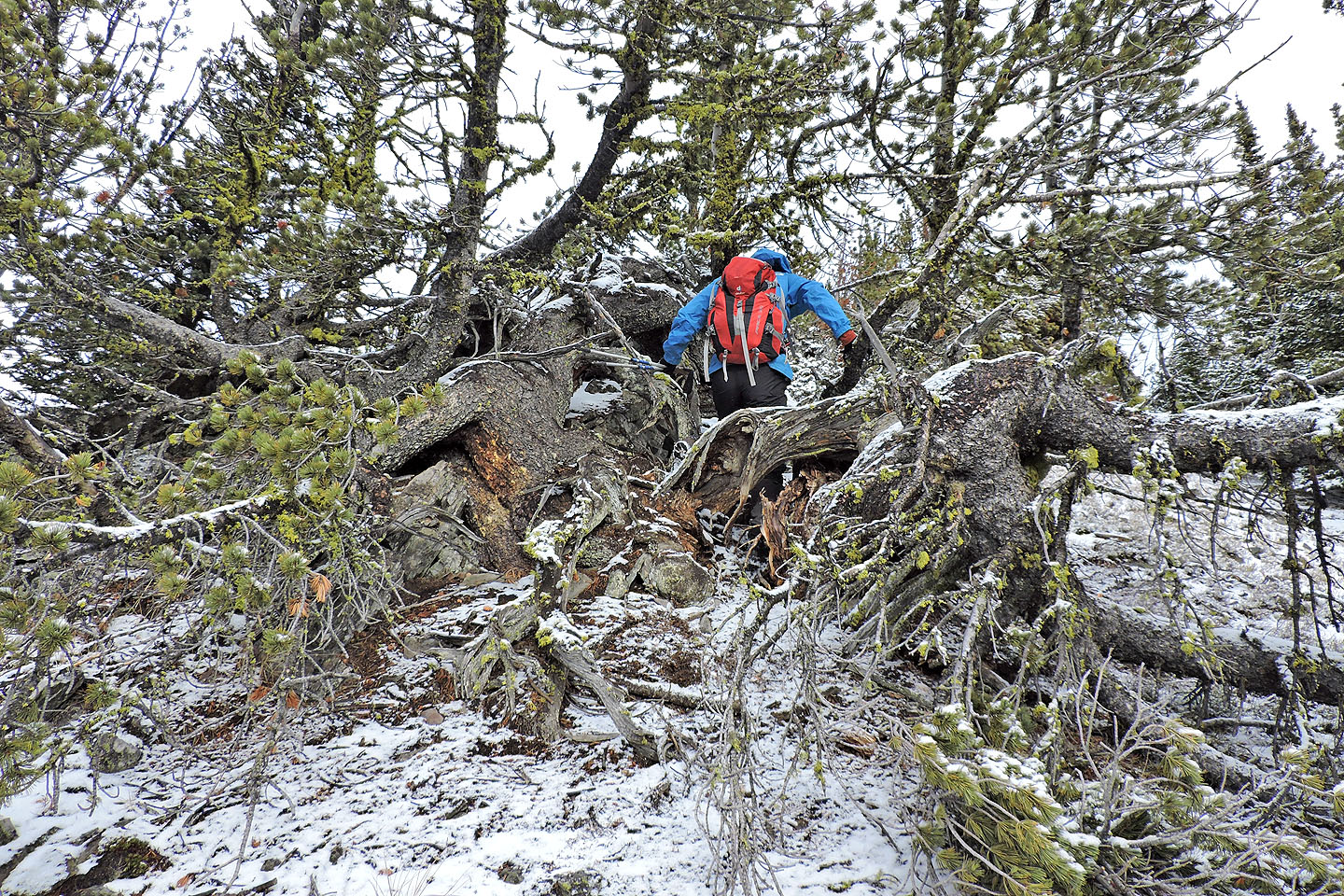
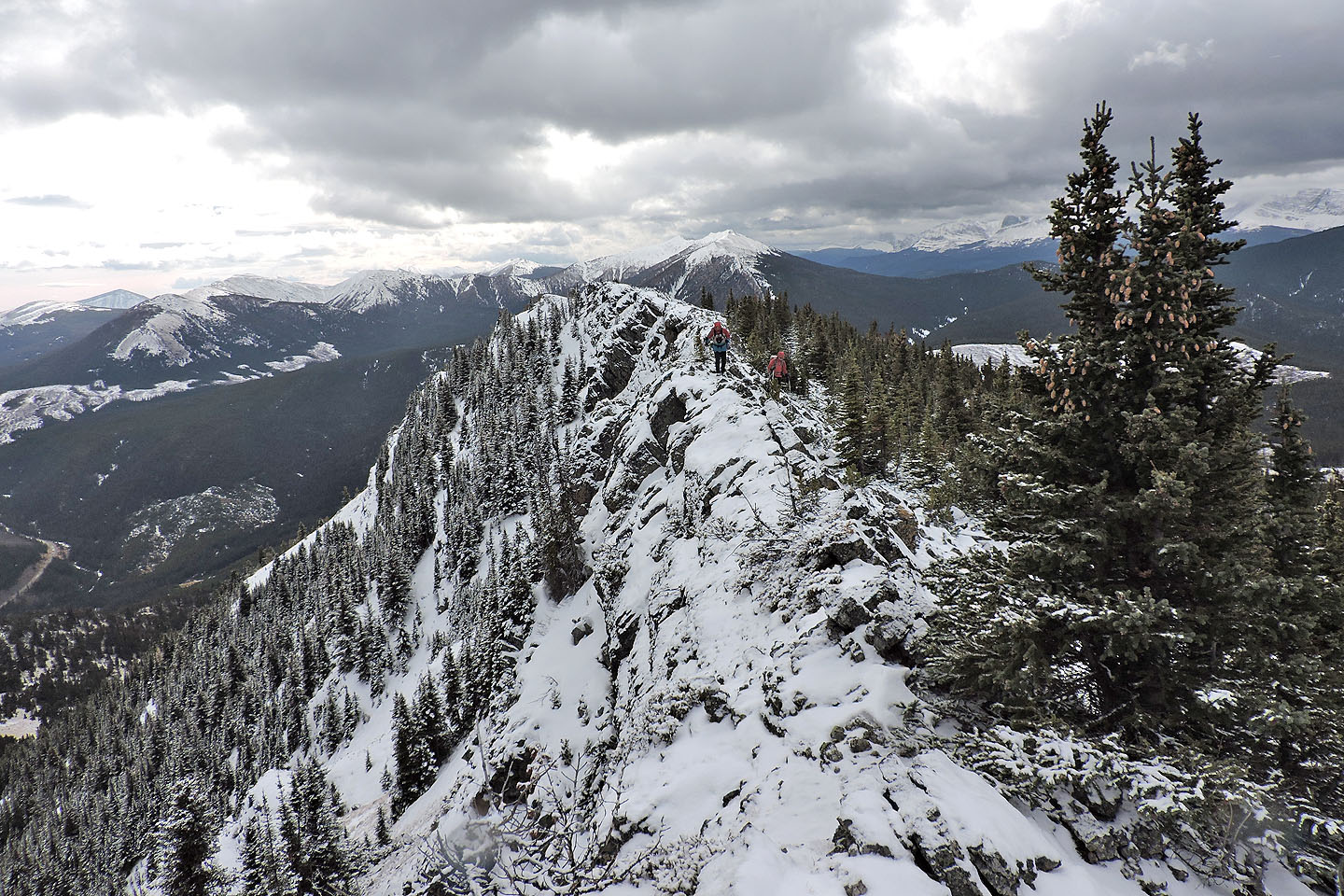
The cramped ridge offered a couple of tight spots at first
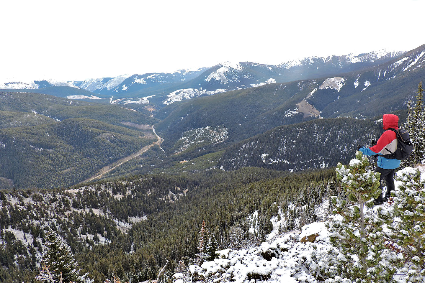
We had a good view of the valley
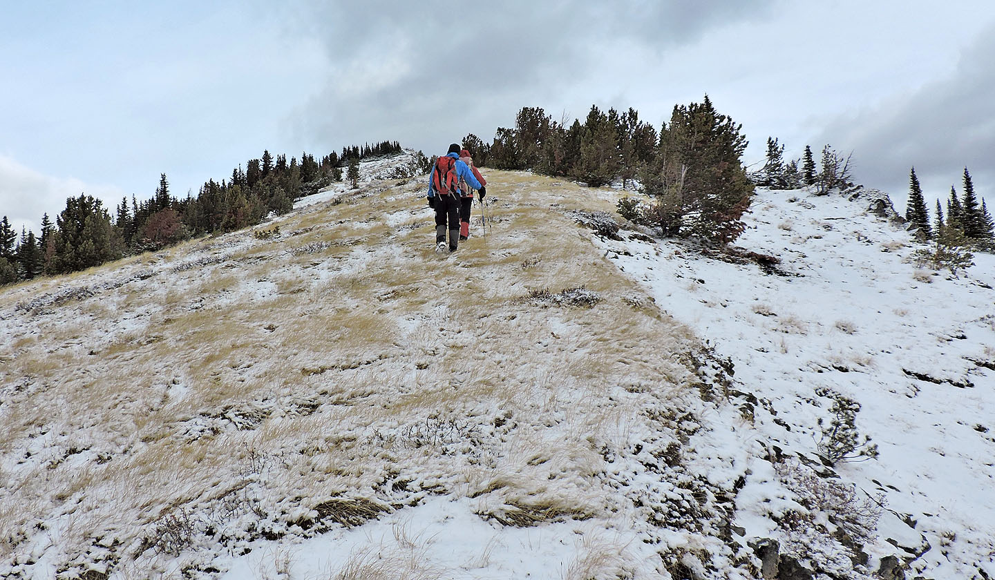
The ridge transitions to grass
Looking back from a cairn on the ridge
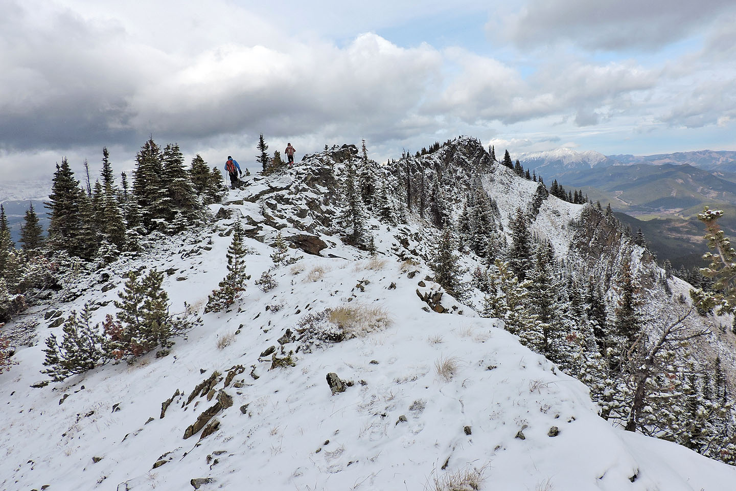
The rocky summit appears ahead
Looking back along the ridge just before reaching the summit
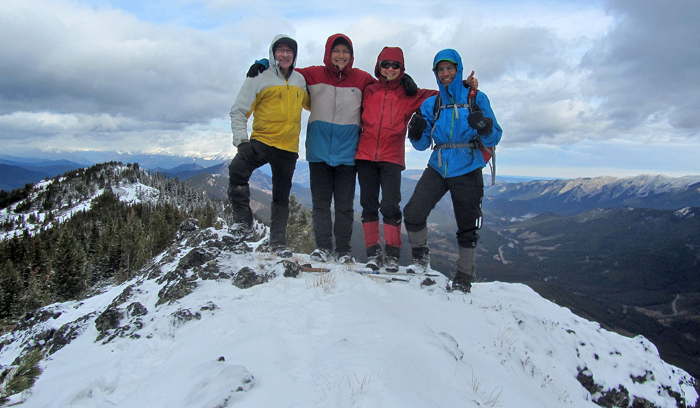
Me, Sonny, Zosia and Ali standing on top of Cummings Ridge
82 J/2 Fording River