bobspirko.ca | Home | Canada Trips | US Trips | Hiking | Snowshoeing | MAP | About

Taiga Viewpoint
Kananaskis, Alberta
September 12, 2015
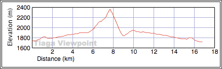
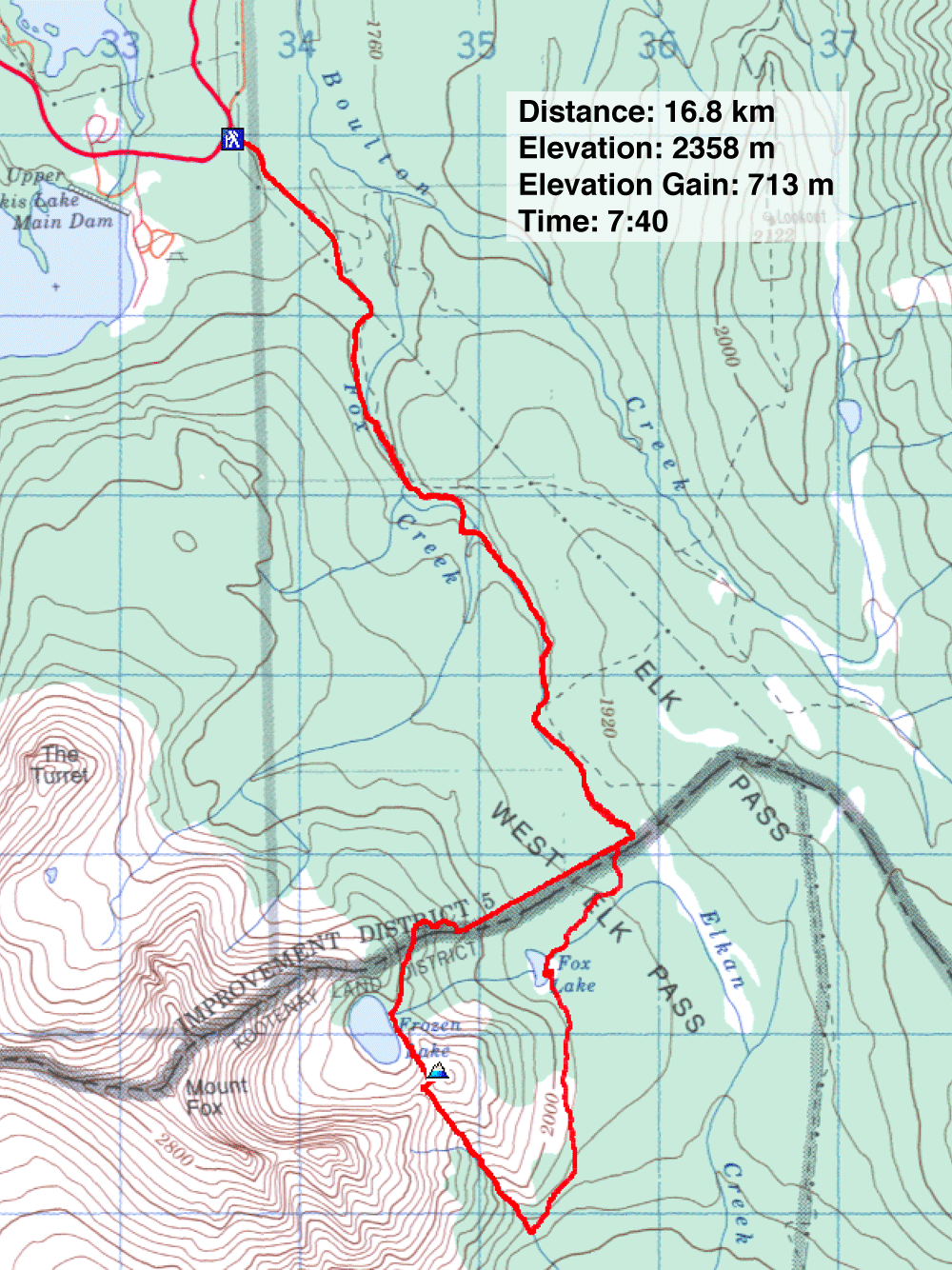
Distance: 16.8 km (10.4 mi)
Cumulative Elevation Gain: 789 m (2589)
What Taiga Viewpoint lacks in loftiness and excitement, it makes up for with scenery. The outlier to Mount Fox offers lake views at all four compass points: Kananaskis Lakes and Lower Elk Lake to the north and south, Fox Lake and Frozen Lake to the east and west. The trip isn't entirely tame, however. Kananaskis Country Trail Guide calls the trail from Frozen Lake to the col below Taiga, a ”scrabblers” route. The rough trail is rather steep in places.
Sonny, Dinah and I began our trip at the Elk Pass trailhead. The trail to West Elk Pass is straightforward enough. So is the side path to Frozen Lake. The 1M and 2M provincial boundary monuments described in the guidebook, however, have changed: 1M is newly rebuilt while 2M is gone, replaced by a small, bright orange sign.
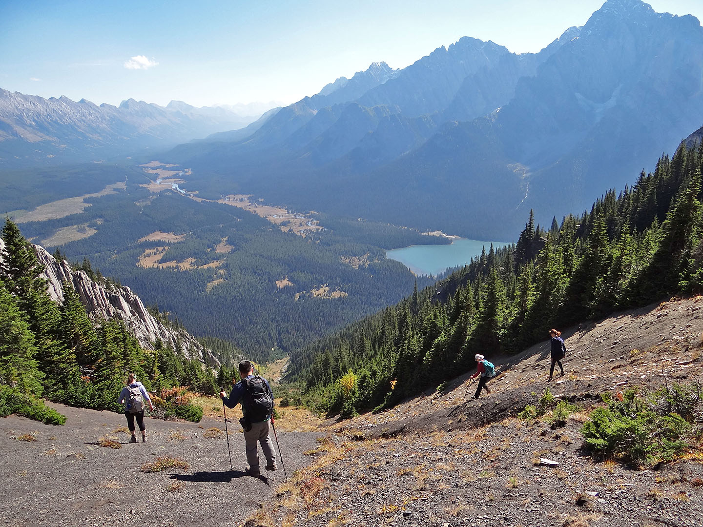
At Frozen Lake, we paused to appreciate its turquoise water before heading up the trail to the col. From the col, a vague trail in scree runs to the top of Taiga. The top itself is a short ridge so level, that the highest point is indistinguishable.
We walked to the end of the summit ridge and plopped down on the grass for lunch. Far below, Frozen Lake attracted our attention. So did the two figures coming up the trail. On reaching the col, one stayed behind while the other continued climbing. She soon joined us on the summit. Kailen and her friend Helen had only planned to hike to Frozen Lake, but something – perhaps the warm, sunny weather – lured them to climb higher. The four of us soon returned to the col and joined Helen.
Although Sonny, Dinah and I hadn't planned it, we now considered hiking down the col on the other side. Adding two more hikers would make it safer since the area is a “hotspot for grizzlies.” We were able to entice the two young ladies to join us.
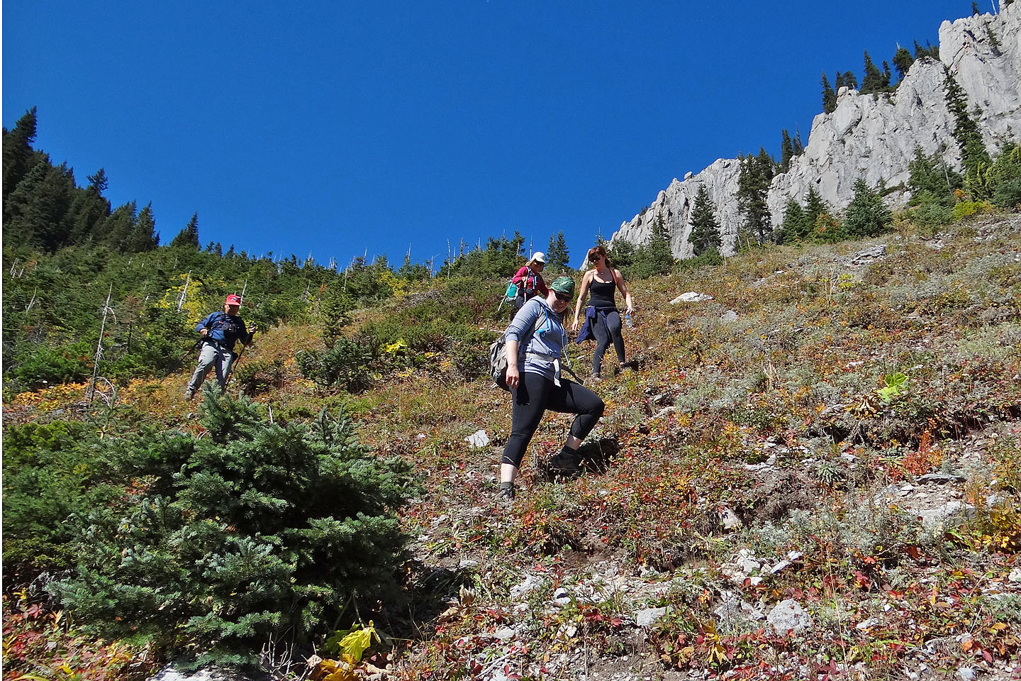
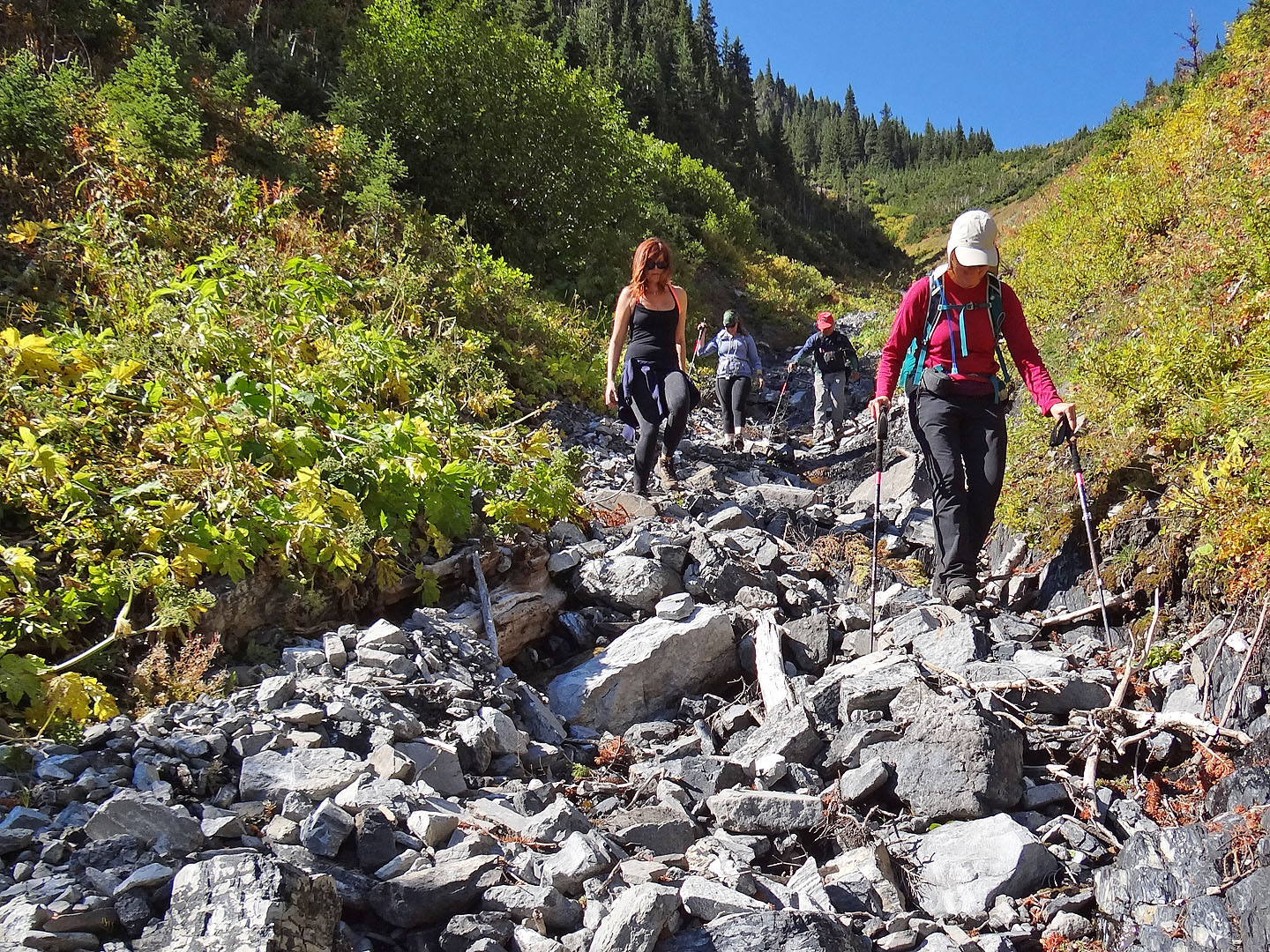
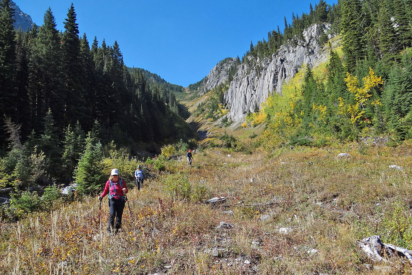
From the col, we made our way down a grassy slope. What started as a U-shaped drainage soon became V-shaped with sides too steep to traverse. We were forced to drop into a dry creekbed full of loose rock and debris. Here, our progress slowed. Eventually we made it to the meadow at the bottom and found the trail leading back to West Elk Pass. We never did see any bears.
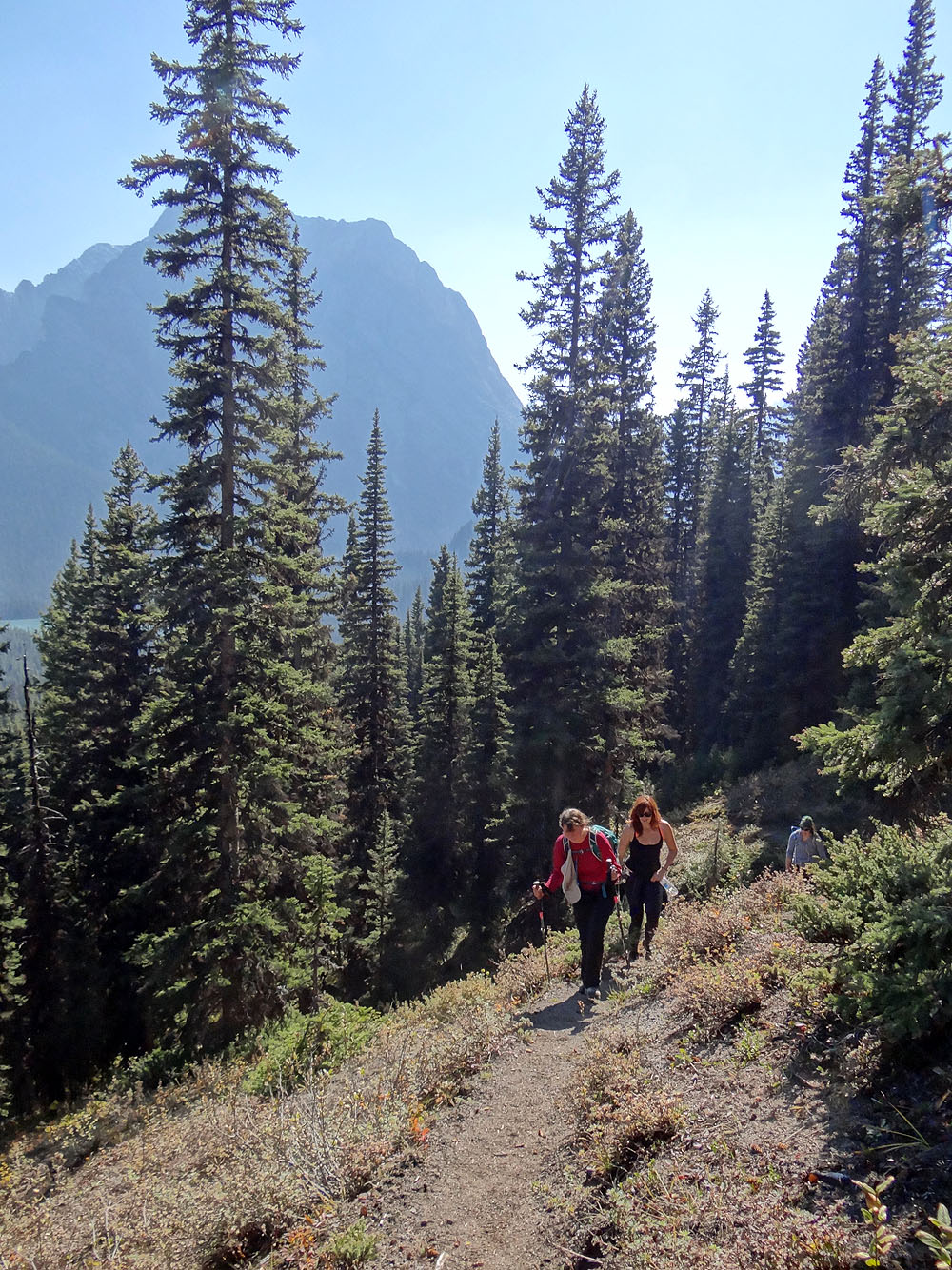
Back on the spacious main trail, our little group fell into conversation and the time passed quickly. Being mostly in trees, there was little to see, so we enjoyed each other's company. Back at the trailhead, we were all smiles when we parted ways. For Sonny, Dinah and I, hiking out with two delightful companions added much to our jaunt. And everyone enjoyed the charms of Frozen Lake and Taiga Viewpoint.
KML and GPX Tracks
Sonny's Trip Report
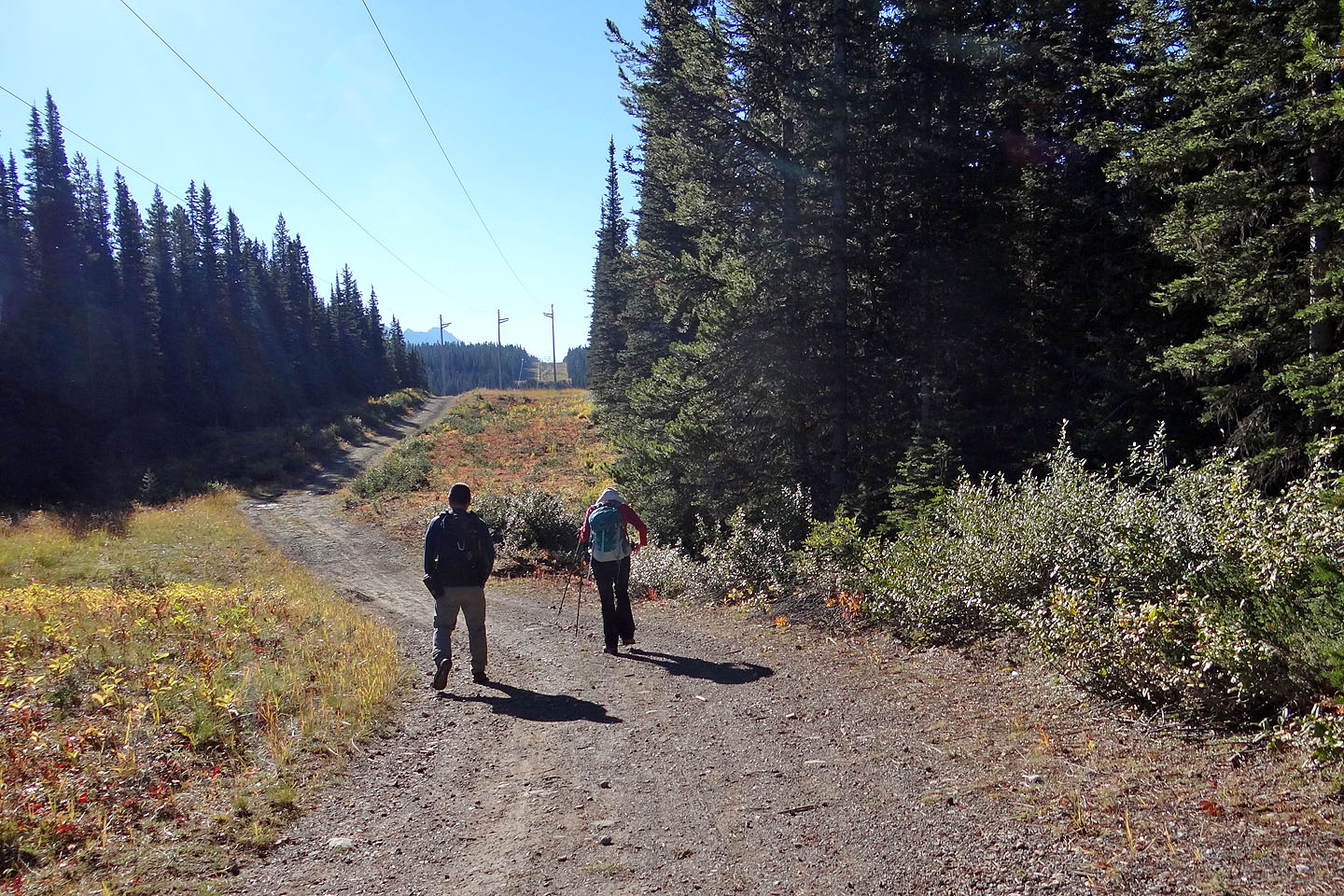
20 minutes after starting out, we hit the powerline access road only to soon leave it
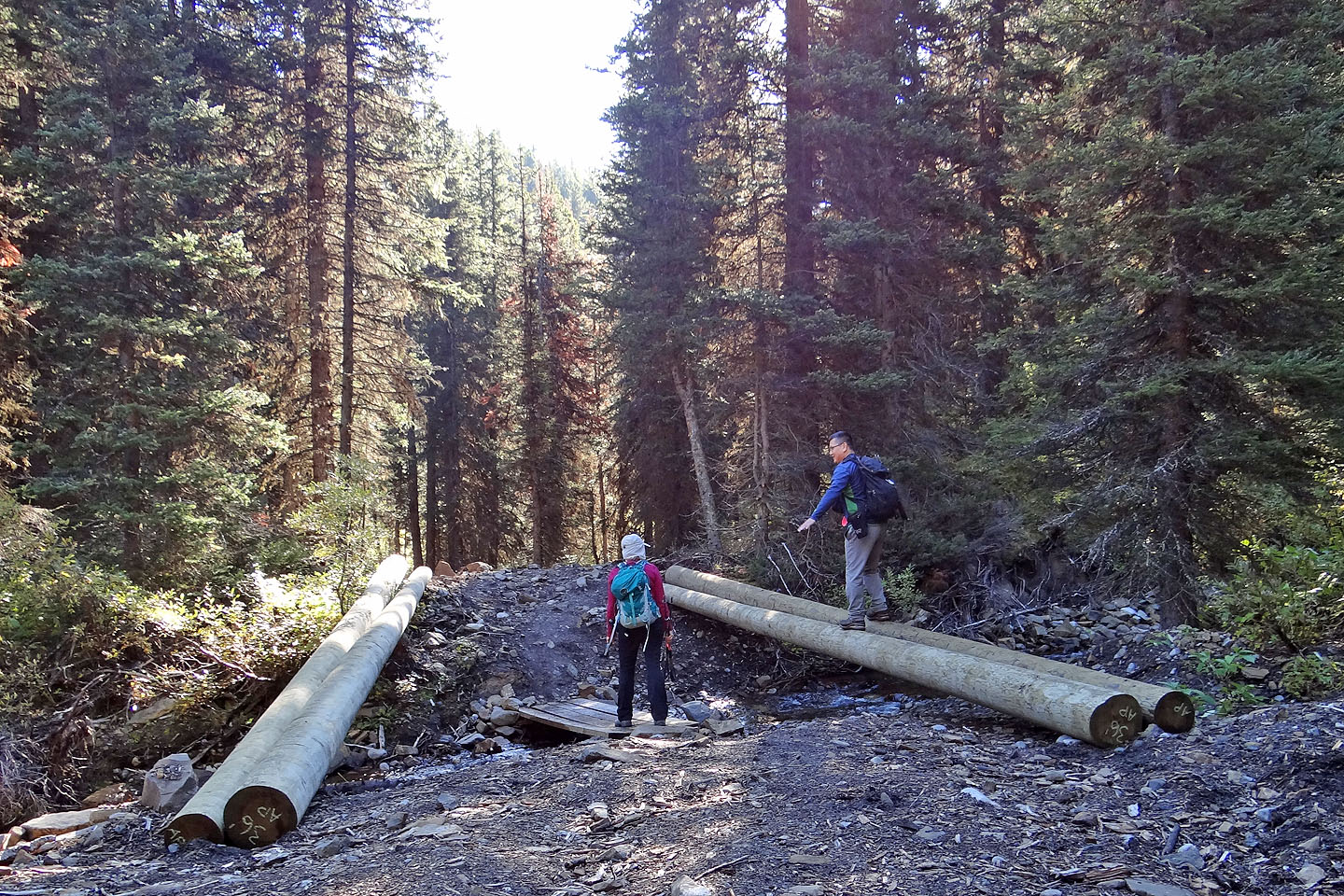
Sonny demonstrates his balance on foundation logs for a new bridge
Mount Fox appears on the right while Taiga Viewpoint is partially hidden by a tree
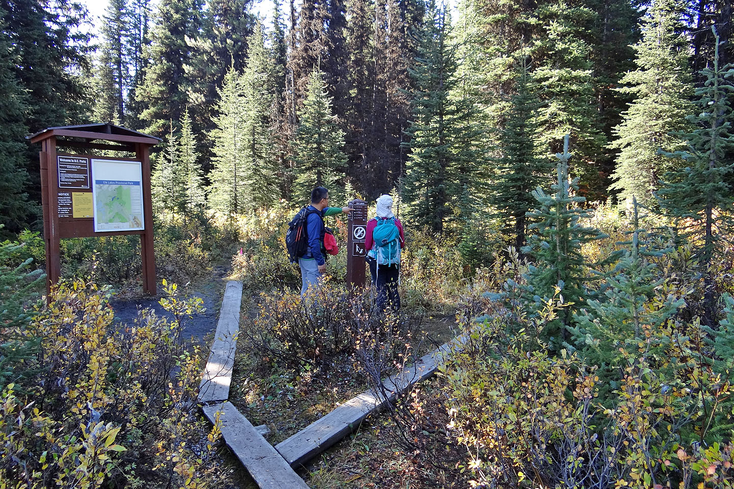
The right fork leads to Frozen Lake
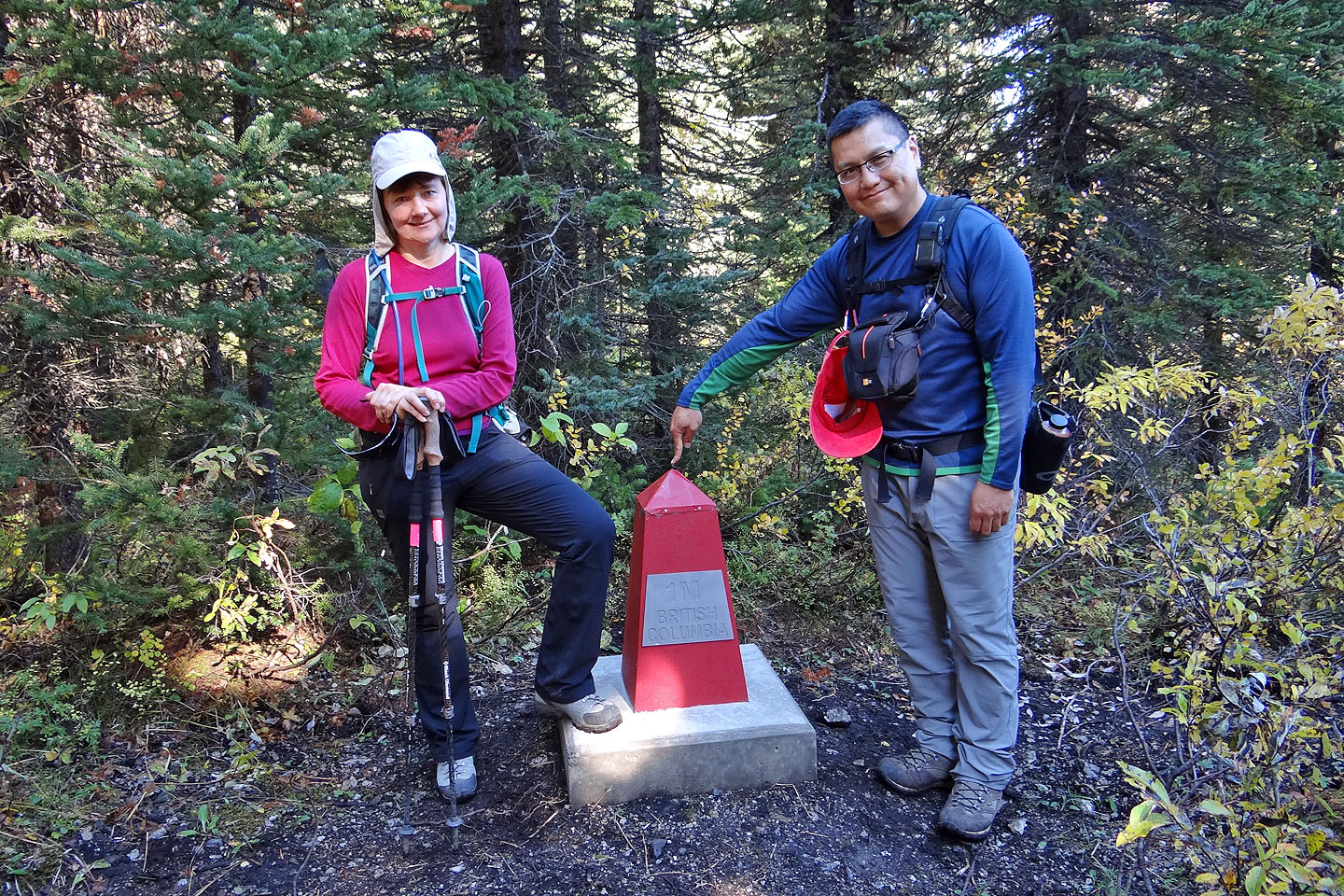
A rebuilt 1M provincial boundary monument (mouse over for a close-up)
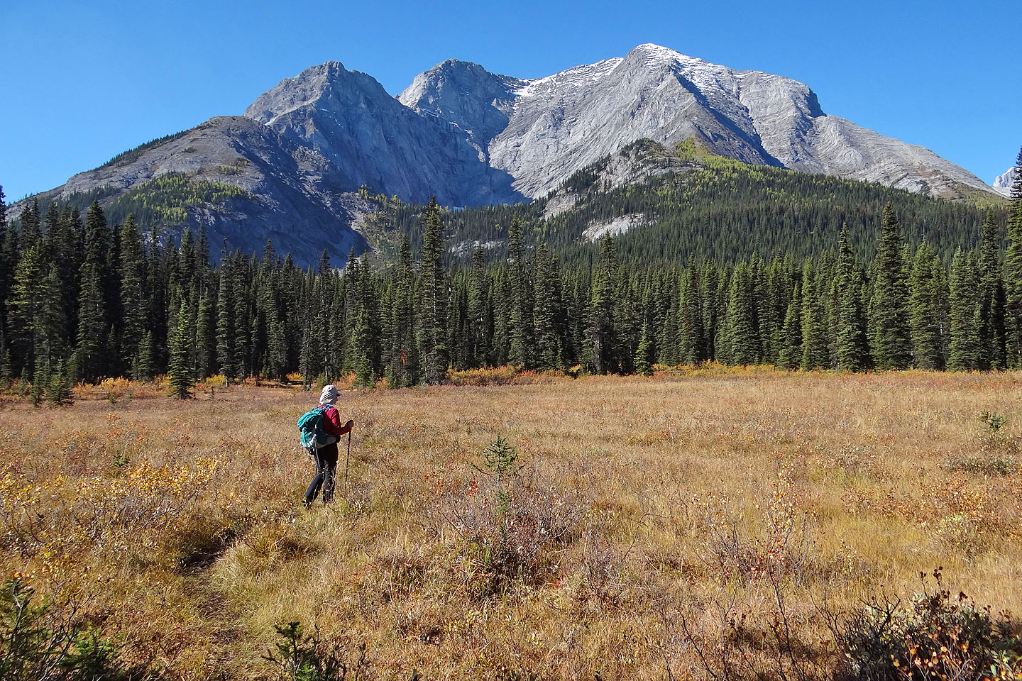
The trail winds through a soggy meadow. Taiga is the little bump far left.
To the right of Mount Fox is The Turret (mouse over)
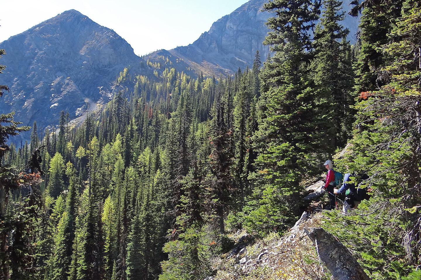
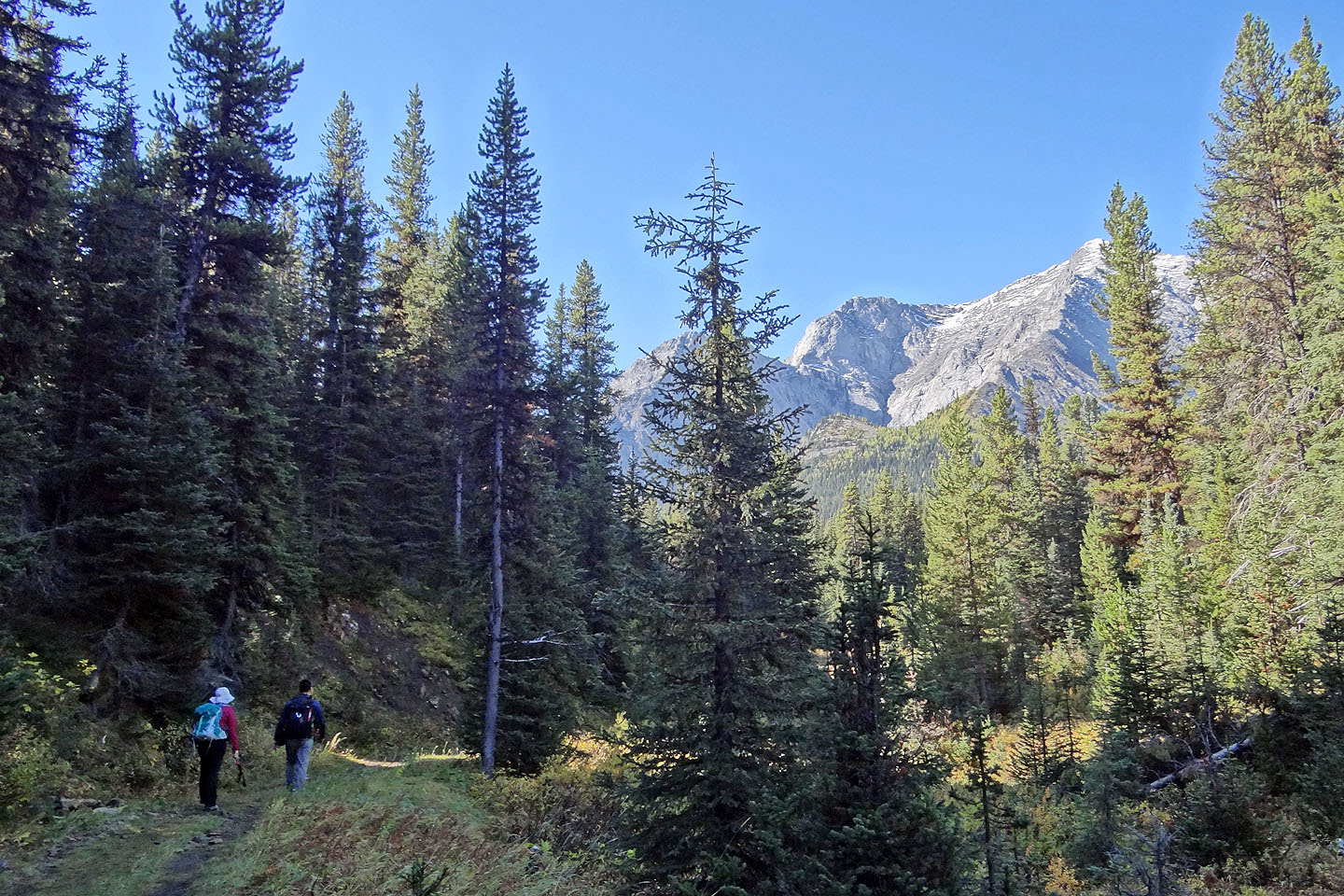
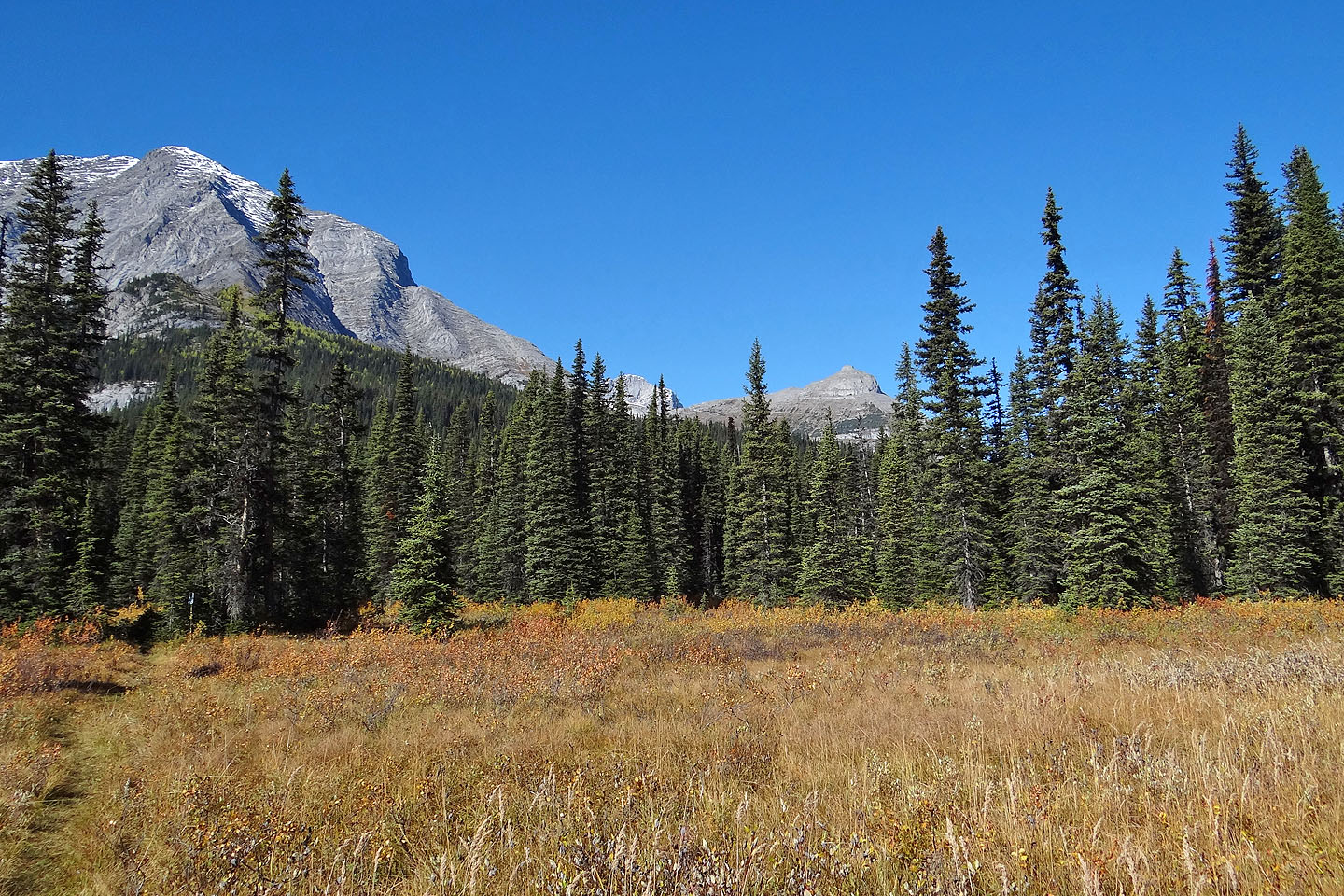
Along the way we caught glimpses of our objective
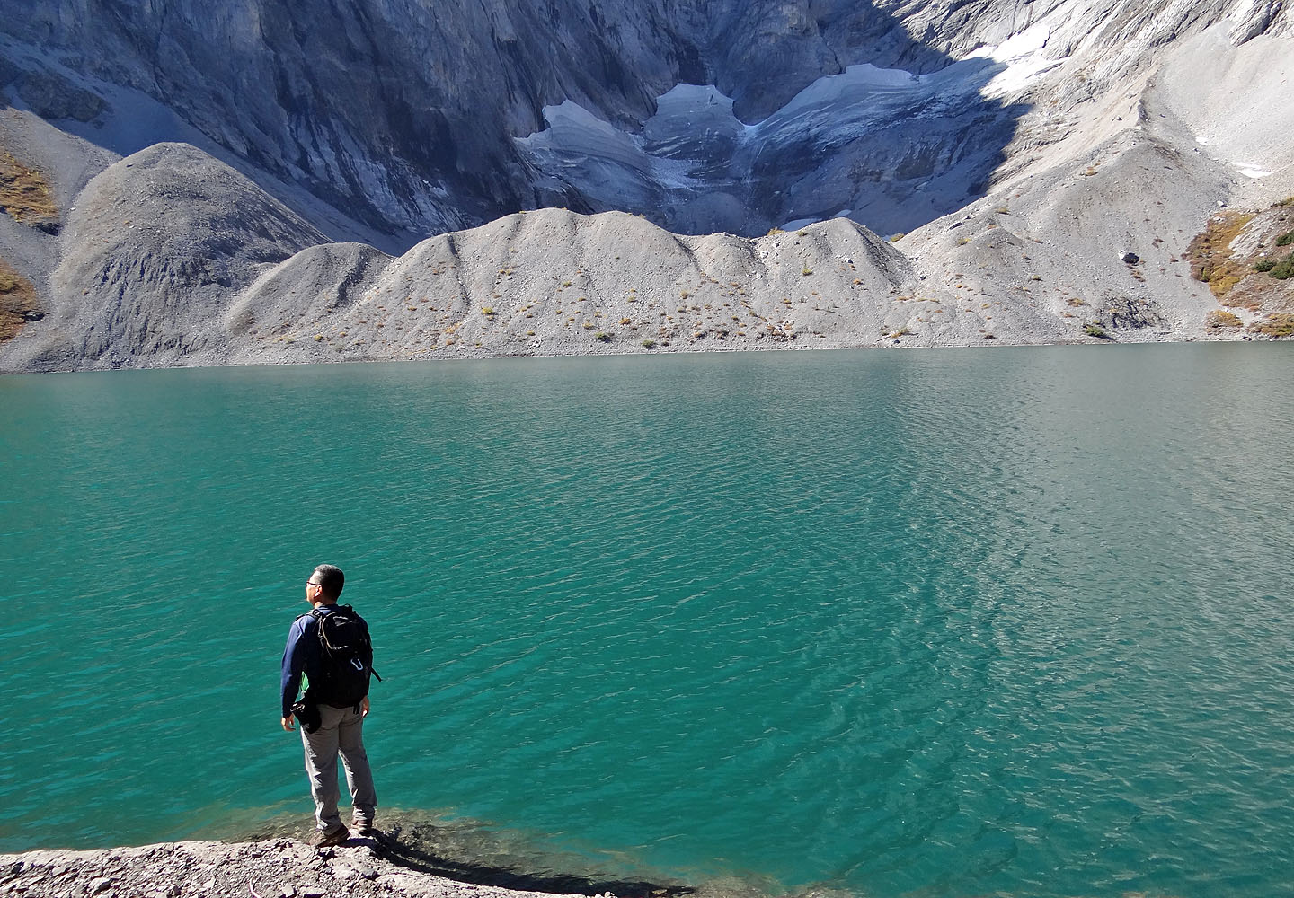
A small glacier sits in the shadows by Frozen Lake
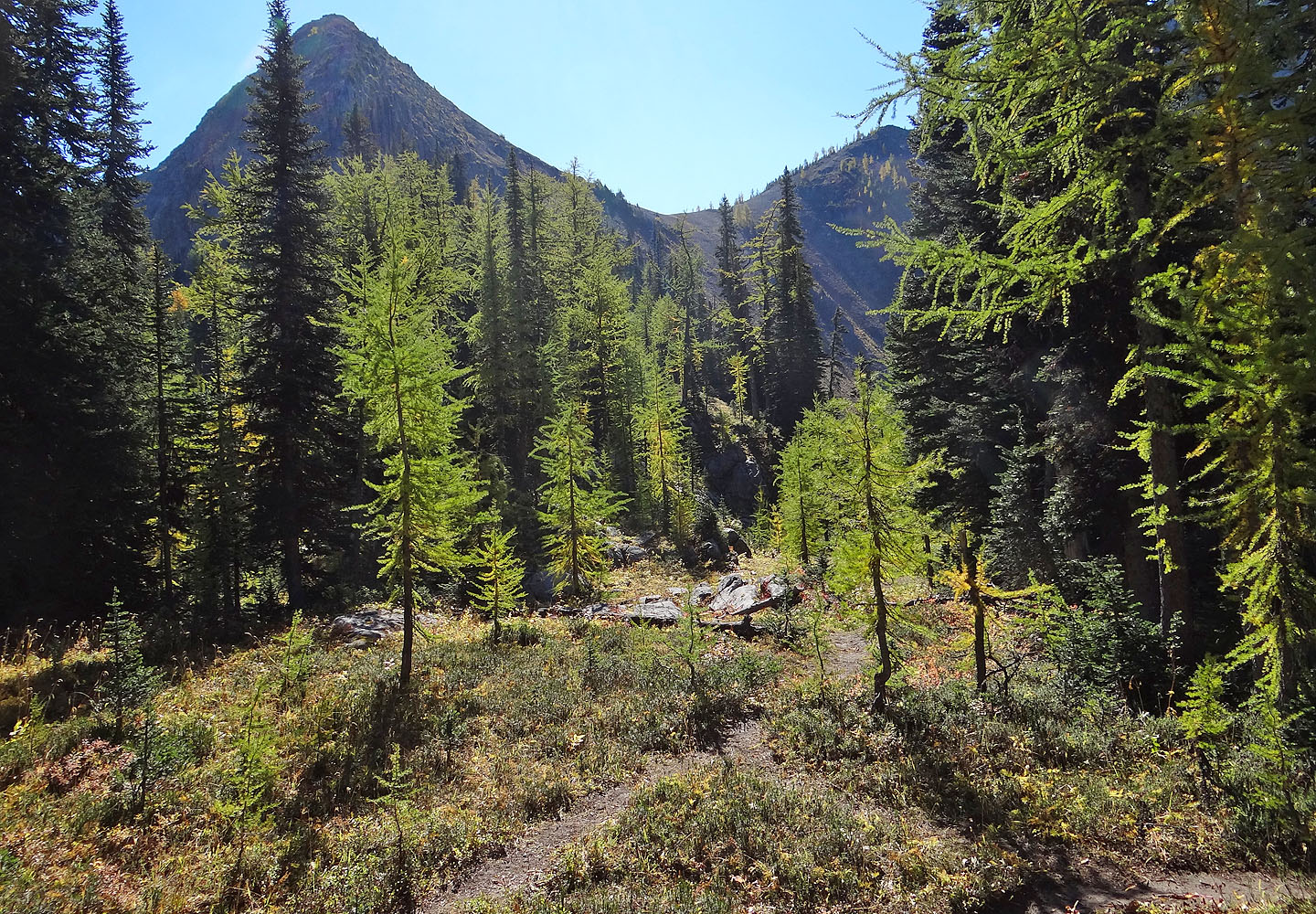
To reach Taiga, we started up a trail left of here
The trail angles up a steep slope
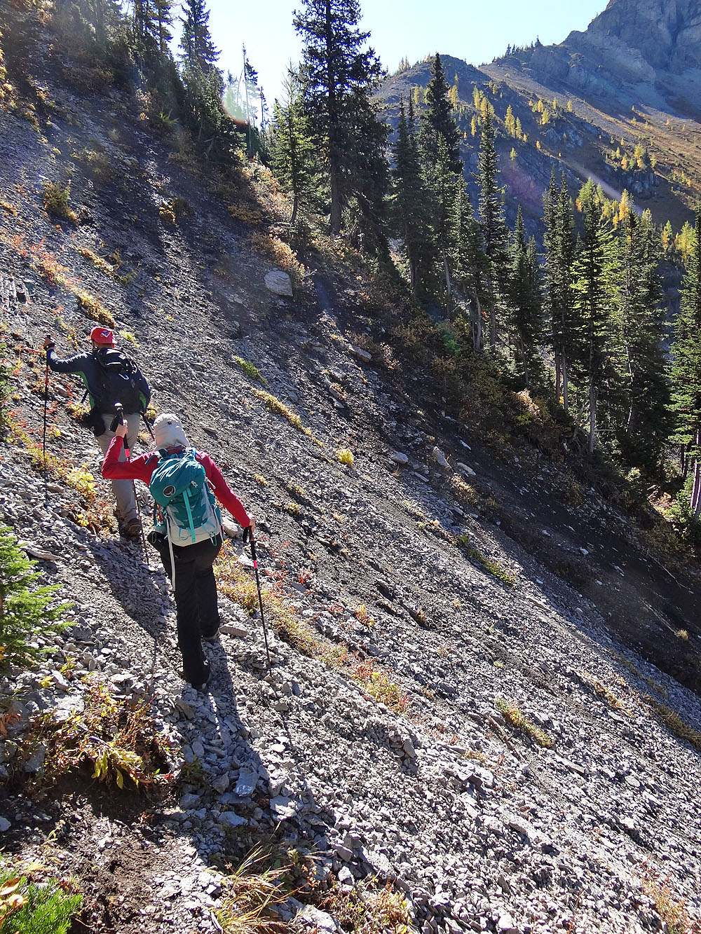
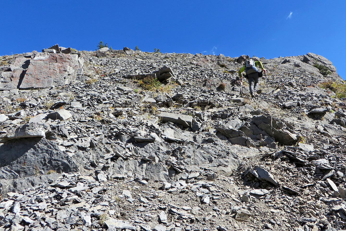
The trail cuts into a steep scree slope
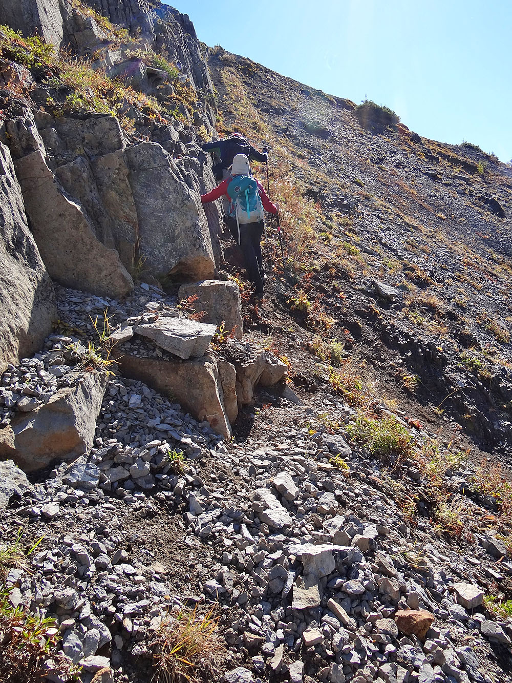
Above the treeline, the trail hugs the base of a cliff band
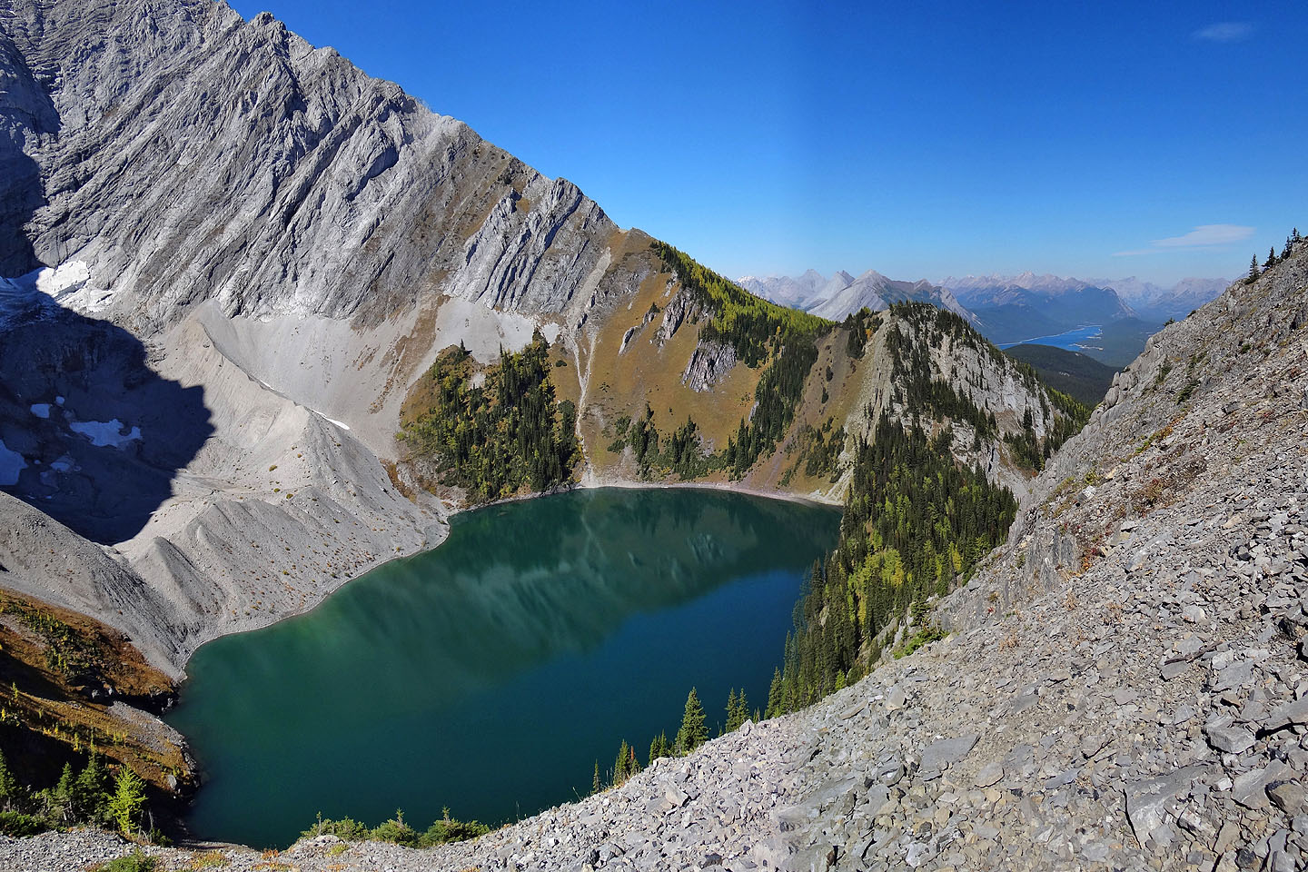
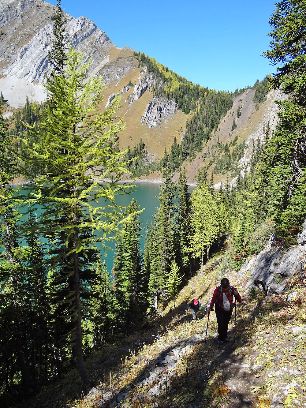
Looking back at Frozen Lake
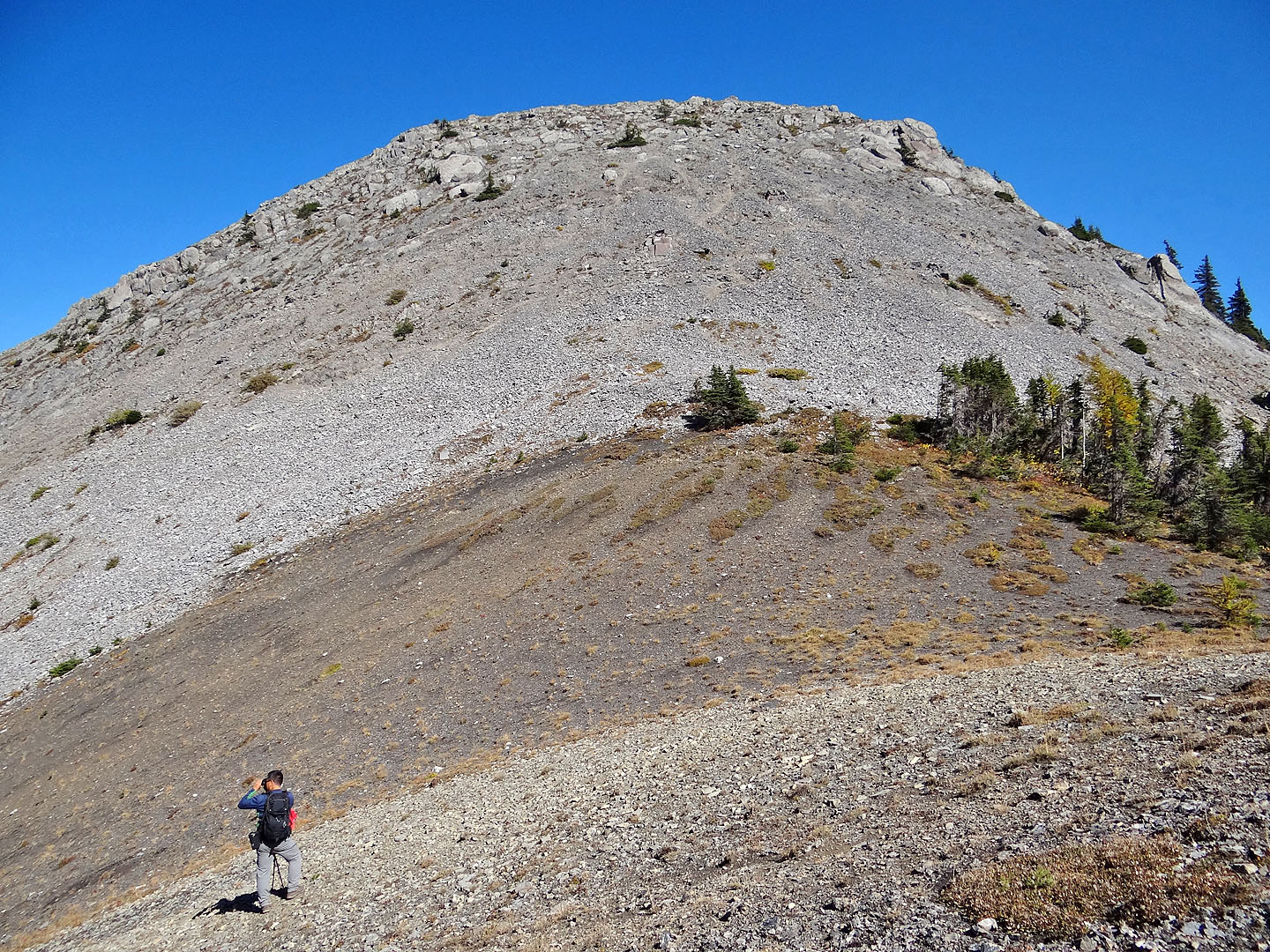
Looking up at the summit from the col
From the col, it's a short climb to the top of Taiga
Looking down at the col
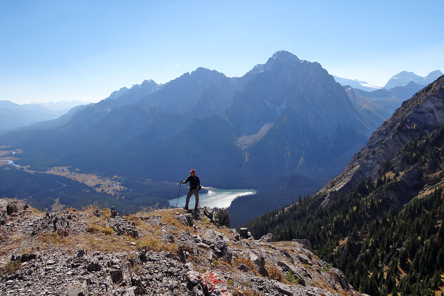
Behind Sonny are Lower Elk Lake and Mount Aosta
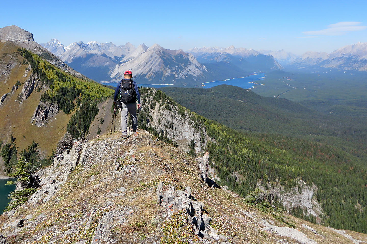
On the summit ridge
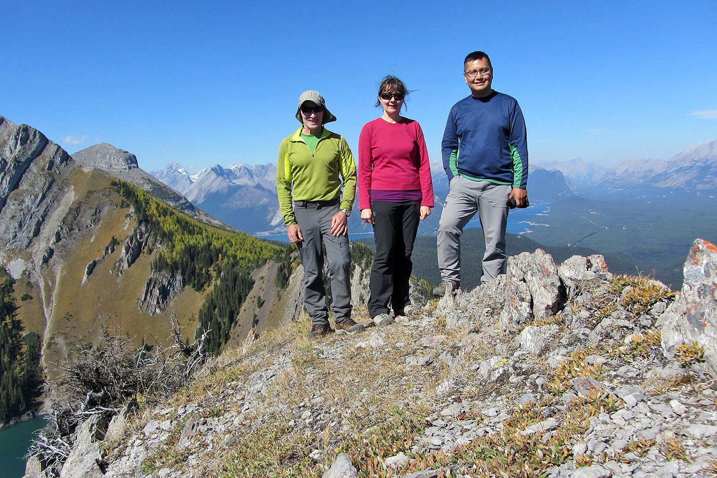
Posing on the summit
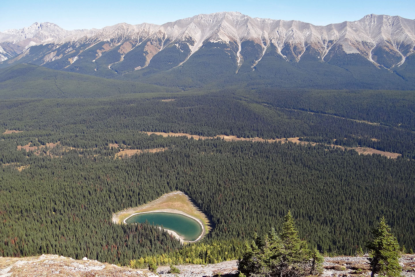
Mounts Pocaterra (centre) and Tyrwhitt (right) appear above Fox Lake
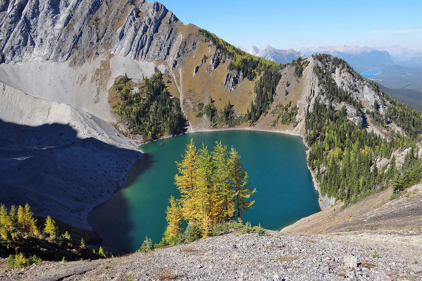
Frozen Lake from the col
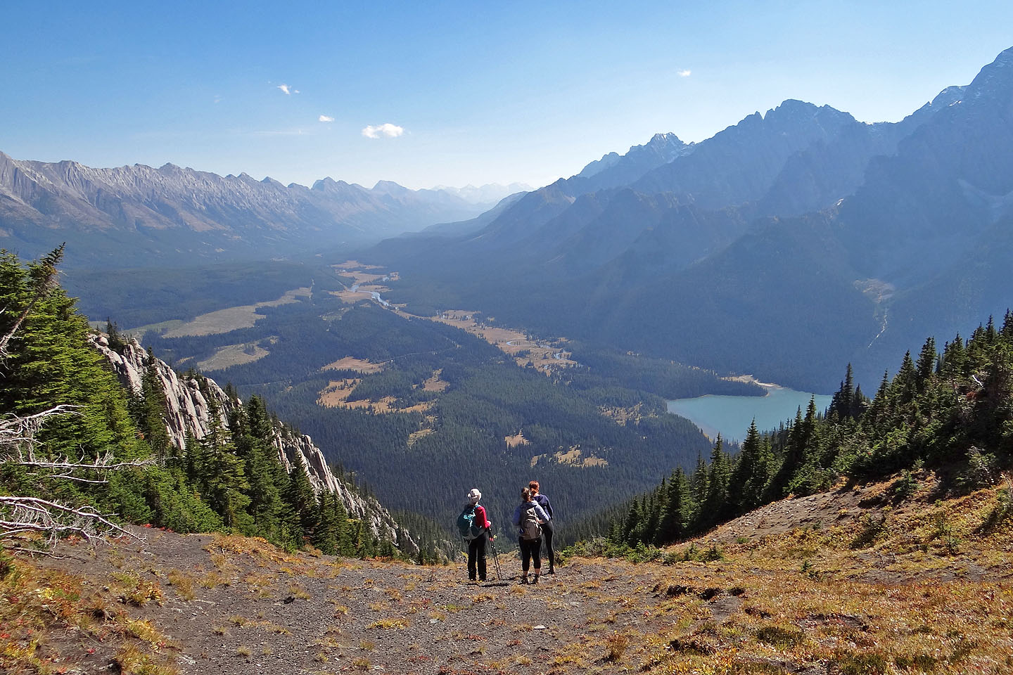
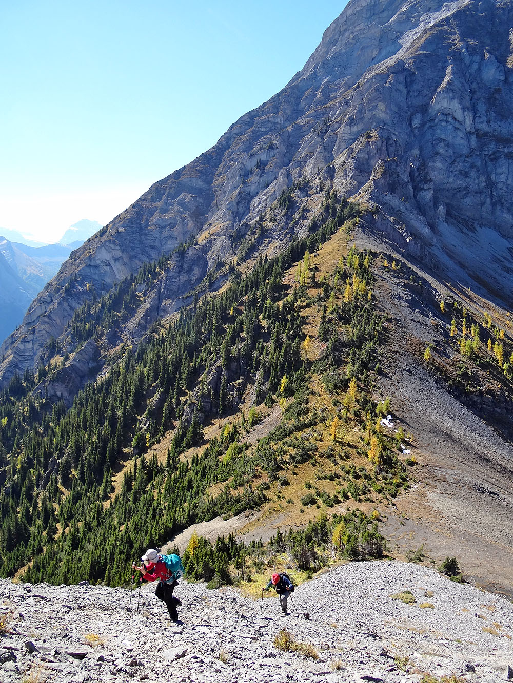
The girls waited for Sonny and I before starting down the other side
We headed down to the drainage
Sonny, Dinah, Kailen and Helen descend the mostly open slope
When the slope became too steep to continue, we dropped into the creekbed
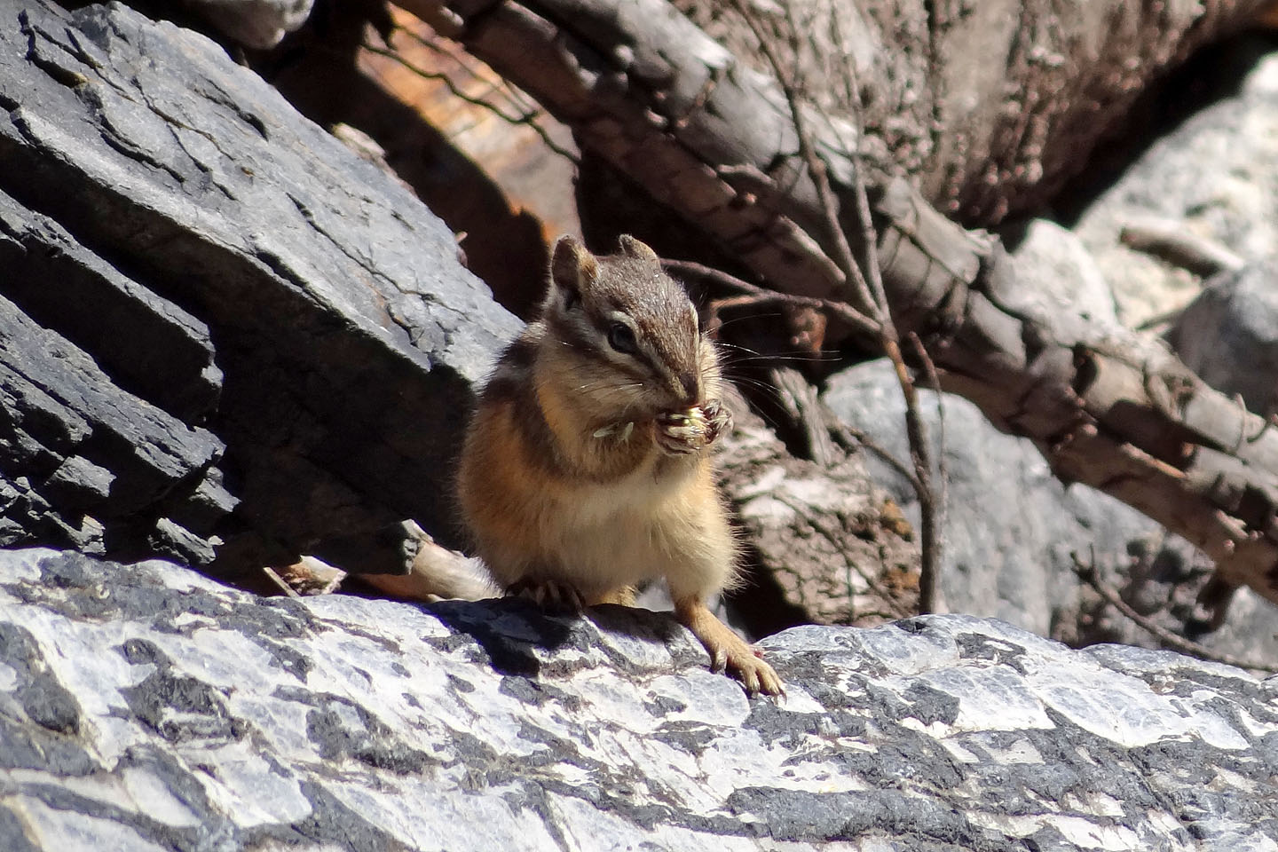
A chipmunk snacks on a seed
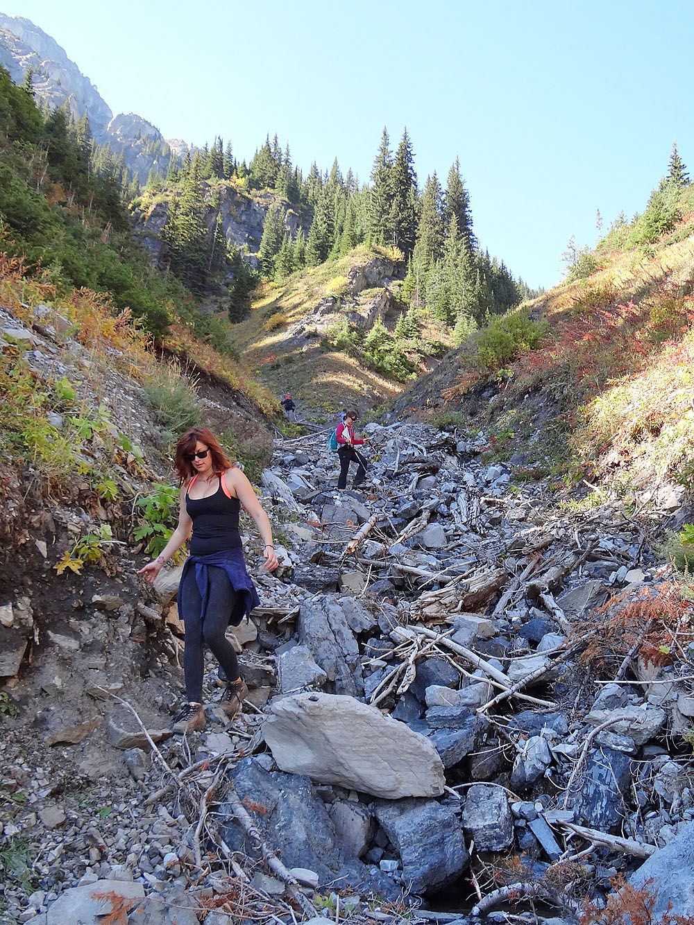
We made slow progress down the creekbed
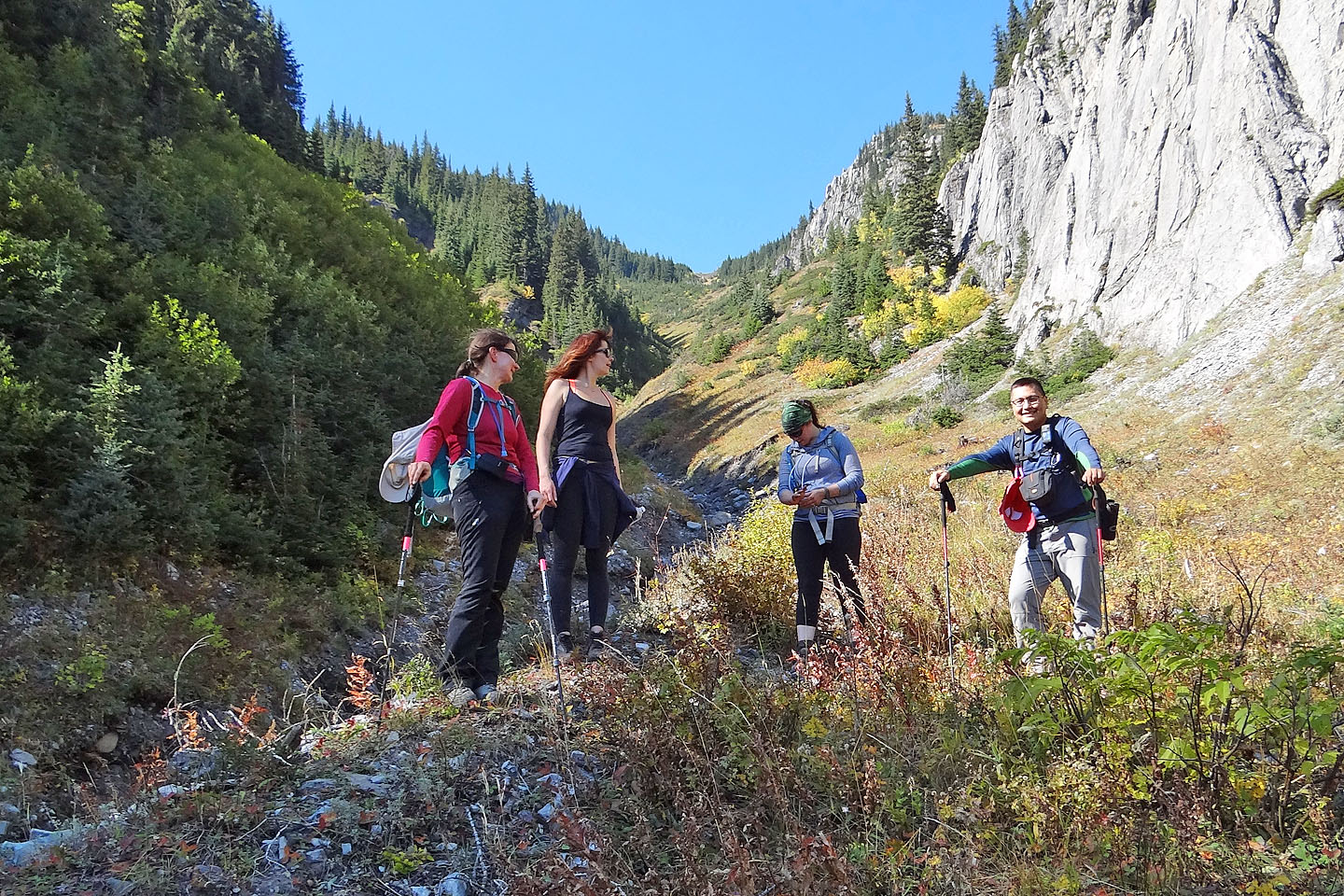
Everyone was glad to step out of the gully onto the meadow
Looking back all the way to the col
On the trail to Fox Lake
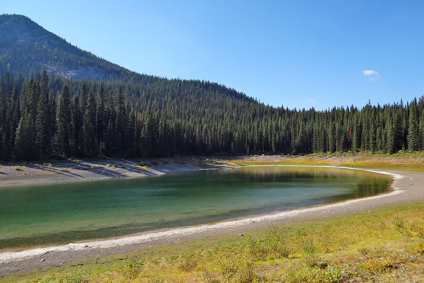
Fox Lake
82 J/11 Kananaskis Lakes