bobspirko.ca | Home | Canada Trips | US Trips | Hiking | Snowshoeing | MAP | About

Stimson Creek North Hill
Kananaskis, Alberta
December 22, 2018
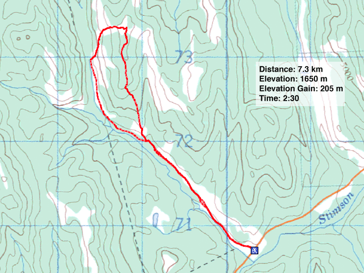
Distance: 7.3 km
Cumulative Elevation Gain: 218 m
Stimson Creek trail offers a pleasant approach to low hills, one of which, the North Hill, being spare of trees on the summit, offers a nearly 360-degree view. Owing to trails and meadows, it was a quick, easy trip; what little bushwhacking there was, was light.
The trip started with a bang – literally. At the trailhead, two guys, dressed in camouflage, were target practicing. They had placed a small, paper target about a hundred metres away, at the base of a slope to stop stray bullets. (Apparently you can shoot targets from the roadside, but you cannot hunt from there.) They were affable and despite differing in our outdoor pursuits, I took a liking to them. I asked them to hold their fire until I passed through. They readily agreed, and then surprised me by offering me to take a shot.
I hadn't shot a gun before and being curious, I accepted. I passed them my smart phone so they could take a photo, and one of them handed me his rifle, a Mossberg 30-06, he said. Although the telescopic viewfinder brought the target in close, I had trouble holding the heavy gun steady. I aimed as best I could, held my breath and fired. Even though I expected it, the loud boom and the powerful recoil took me by surprise. But I wasn't surprised that I missed.
Afterwards, while I got ready to hike, they each took a shot and nailed the little target – one got a bull's-eye – but they took their shots lying down. We talked some more before they got into their truck and drove away. I started up the trail.
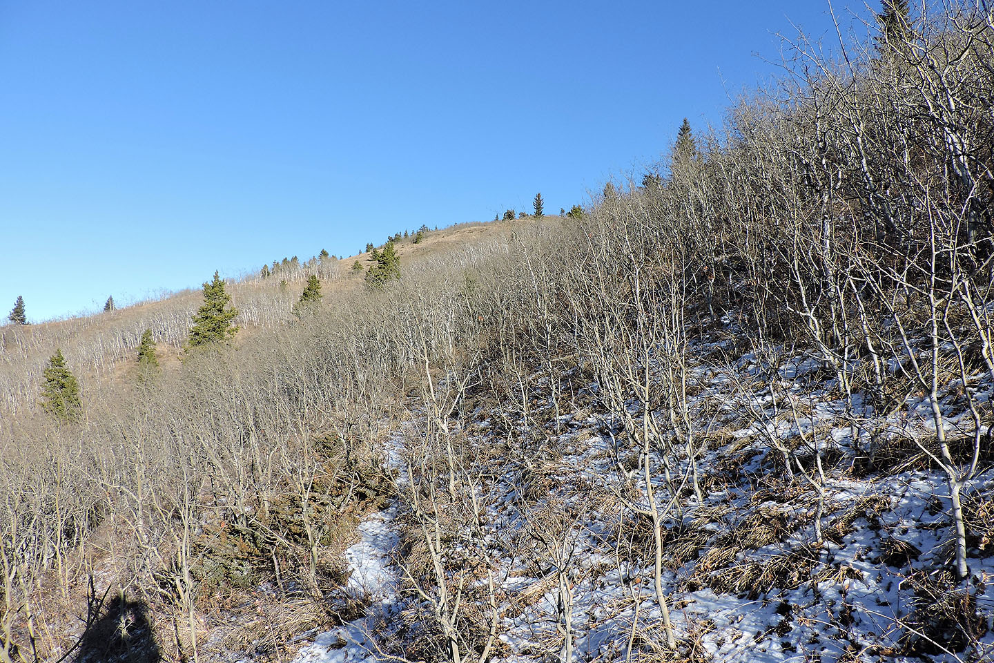
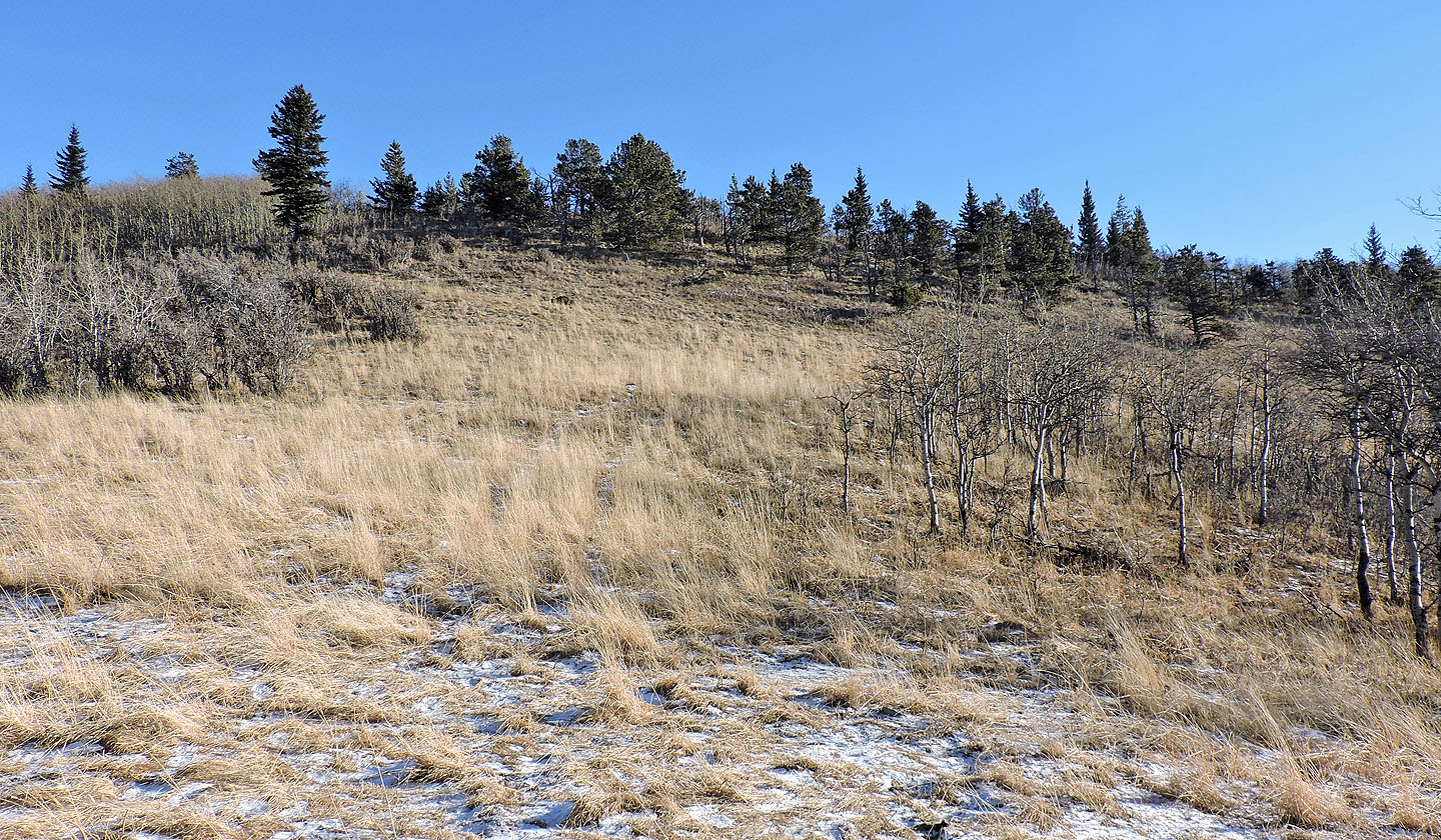
I followed the path as it wound alongside Stimson Creek mostly through meadows. At the first patch of ice, I donned icers, although I was more concerned with the ice I couldn't see, on the trail under snow.
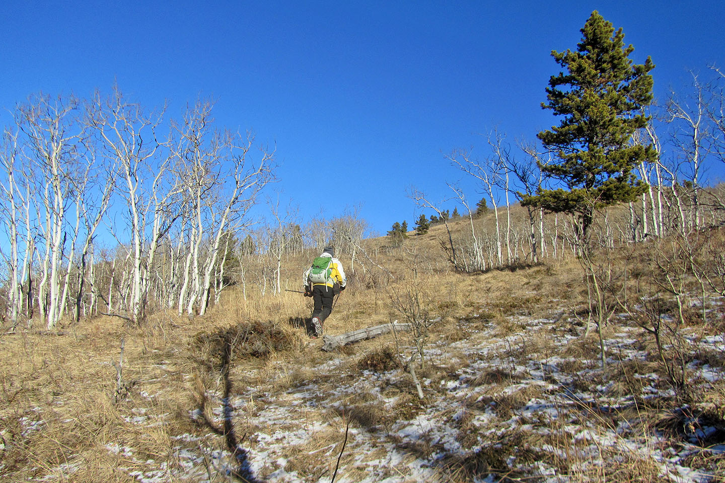
When I came to a fence, I passed through the gate and noticed a trail on the other side, climbing the slope west of the summit. I expected the trail to peter out so I was surprised when it led to an open slope below the summit. A short time later, I stood on the top next to a windbreak comprising weathered logs, although I didn't need it as there wasn't a breath of wind. Under a blue sky, I took in the views, sent a text and had lunch.
Instead of retracing my steps, I followed the south ridge back to the trail. While navigation wasn't as obvious as my ascent up the west slope, meadows and trails broke up stretches of light bushwhacking. After reaching Stimson Creek trail, I strolled back to the trailhead, finishing the trip more quietly than I had started.
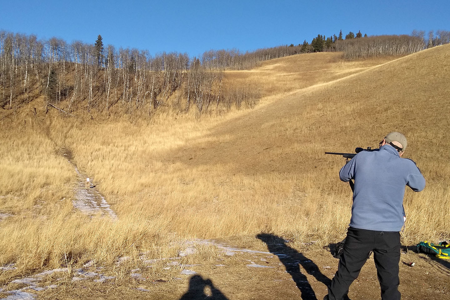
Taking aim
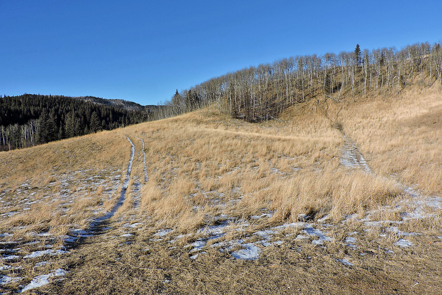
From the trailhead, the trail runs left. The trail on the right was used for target practice.
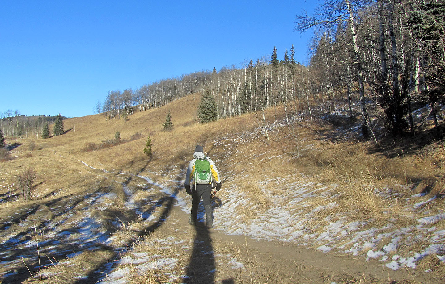
Much of the trail runs through meadows
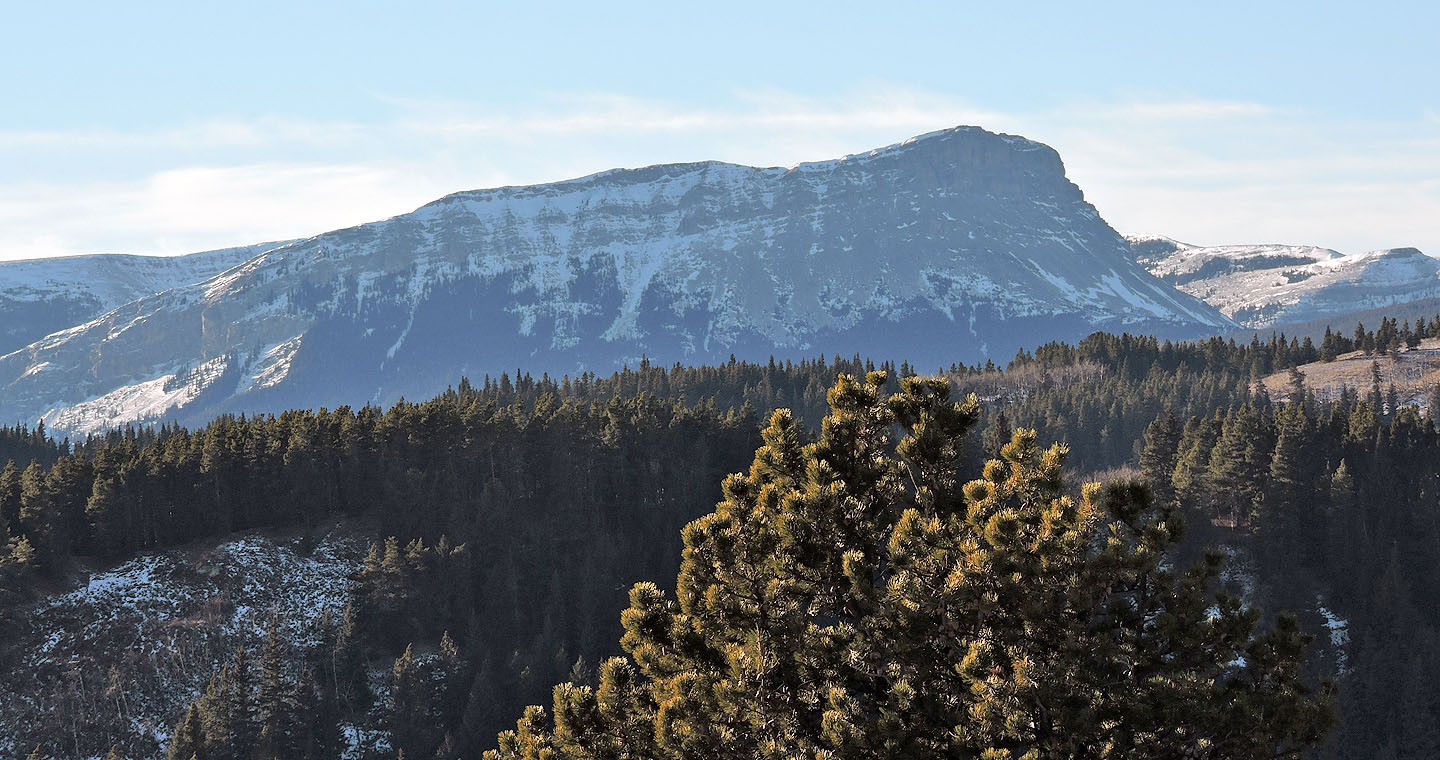
The West Hill, centre, may be slightly higher than the North Hill, but its summit appears to be covered in trees
At the first frozen stream crossing, I put on icers
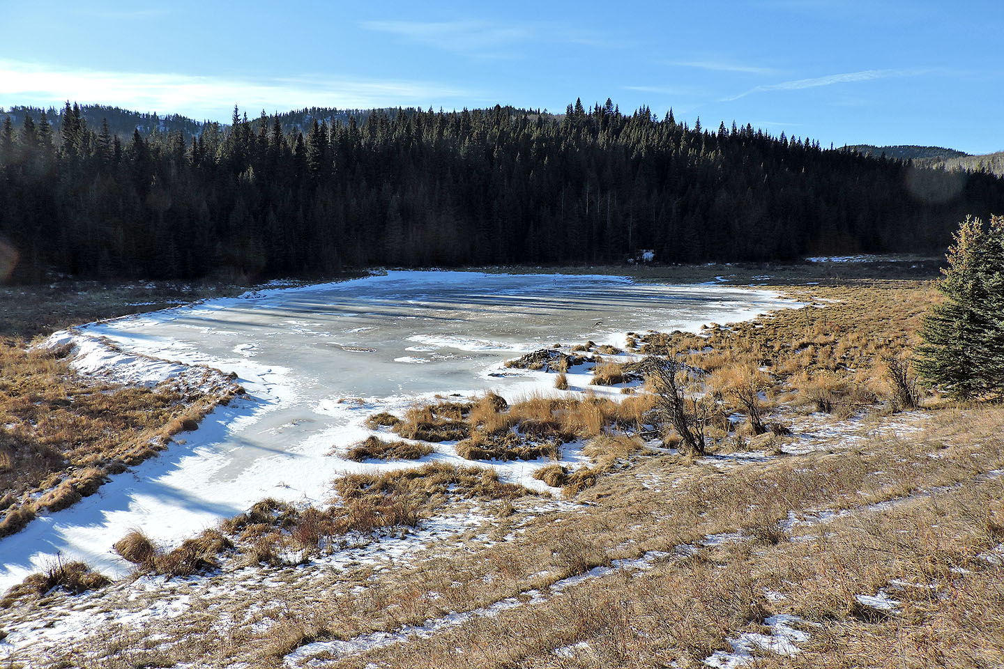
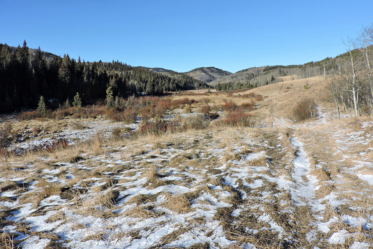
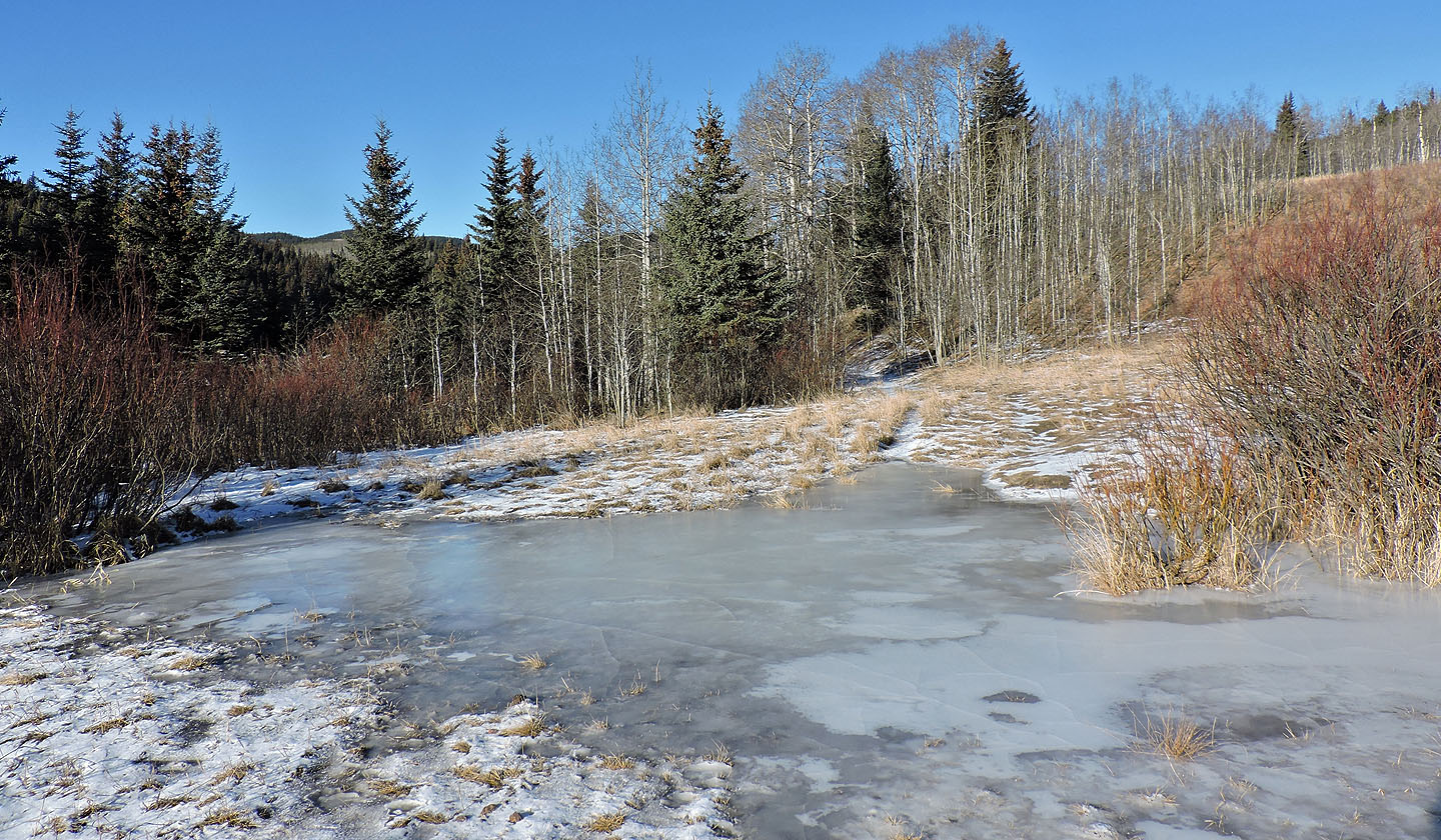
I passed a large pond on my left
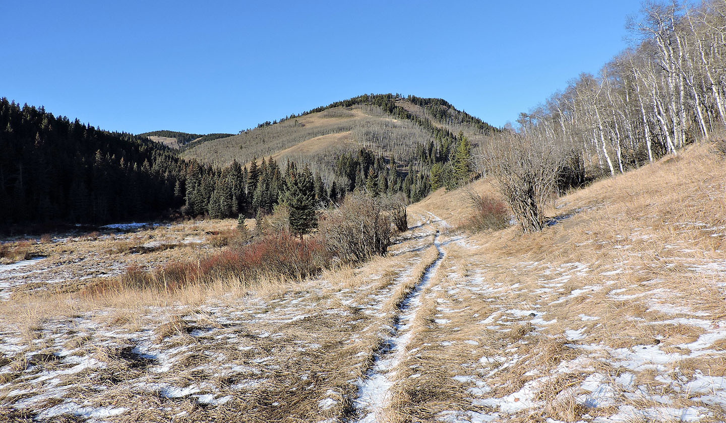
The trail heads right of the west hill
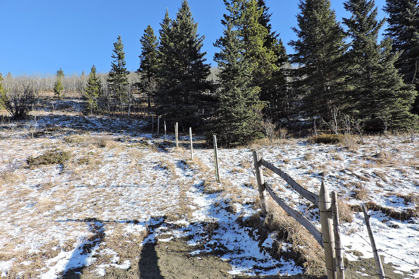
After passing through a gate, I started up a side trail alongside a fence
The trail reaches the open slope ahead
The path ended here
Looking back
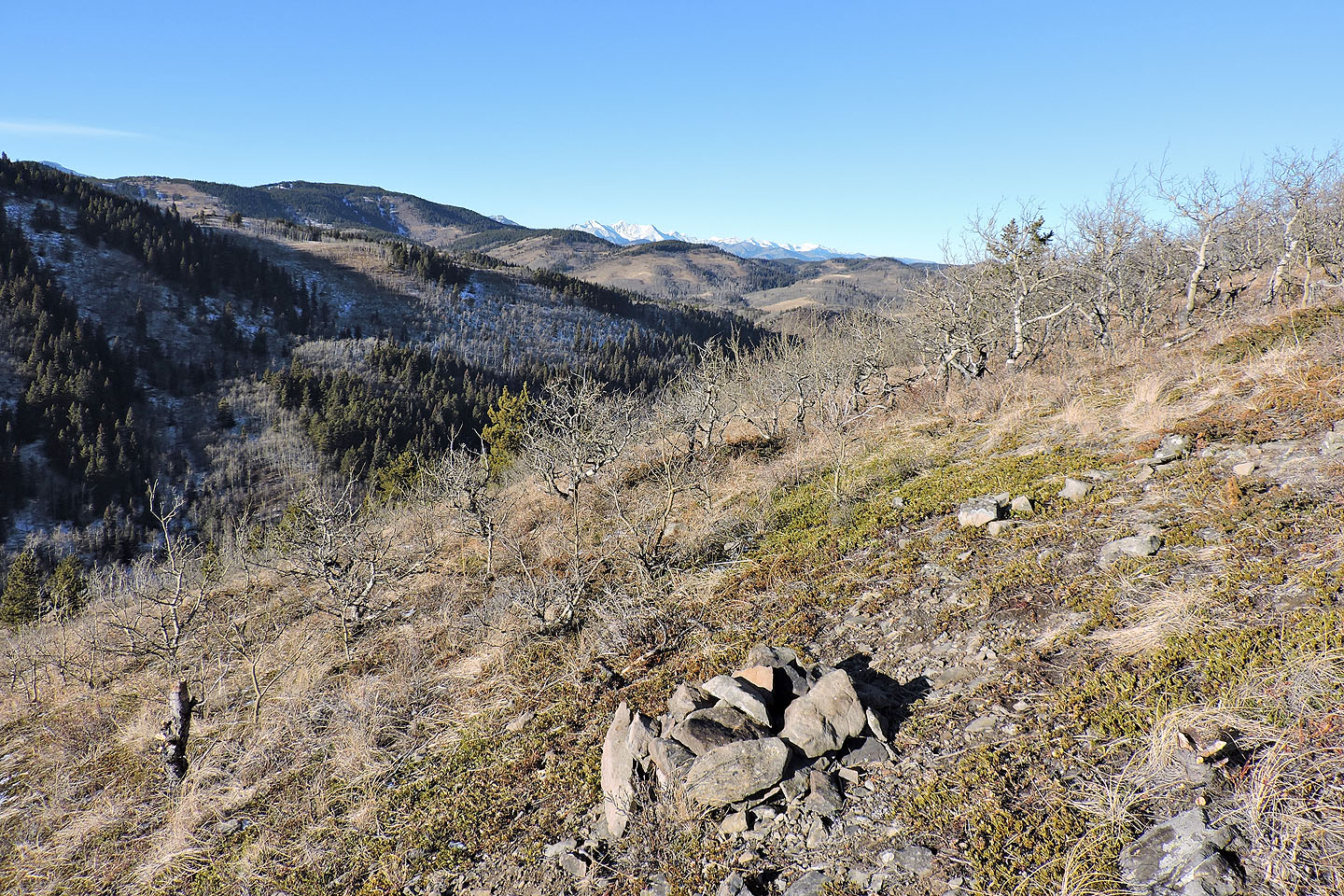
I came across a cairn but its significance escapes me
Last stretch to the summit
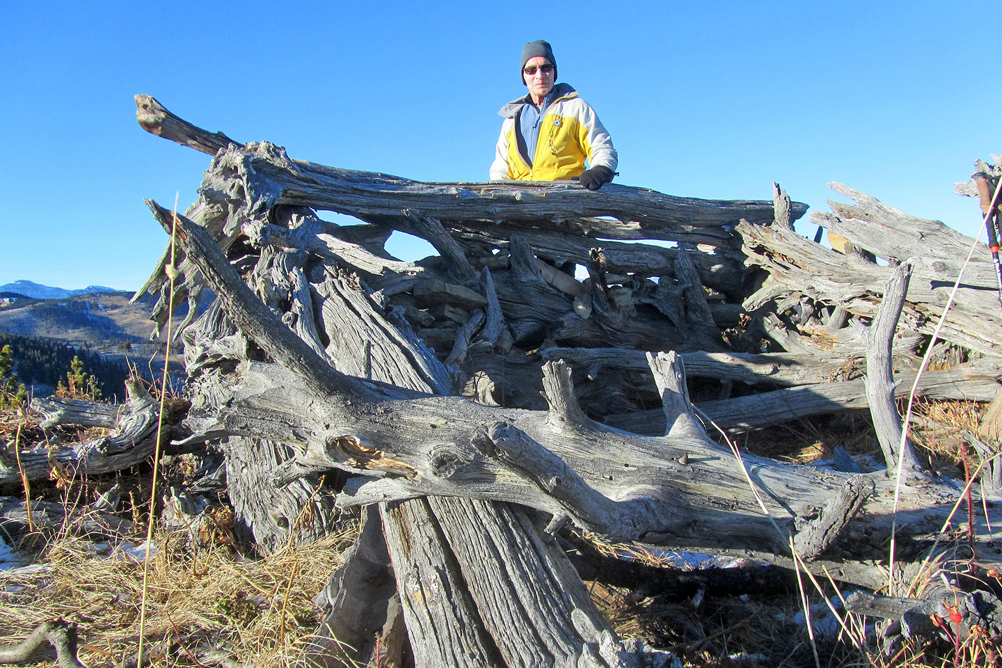
A wind break adorns the top
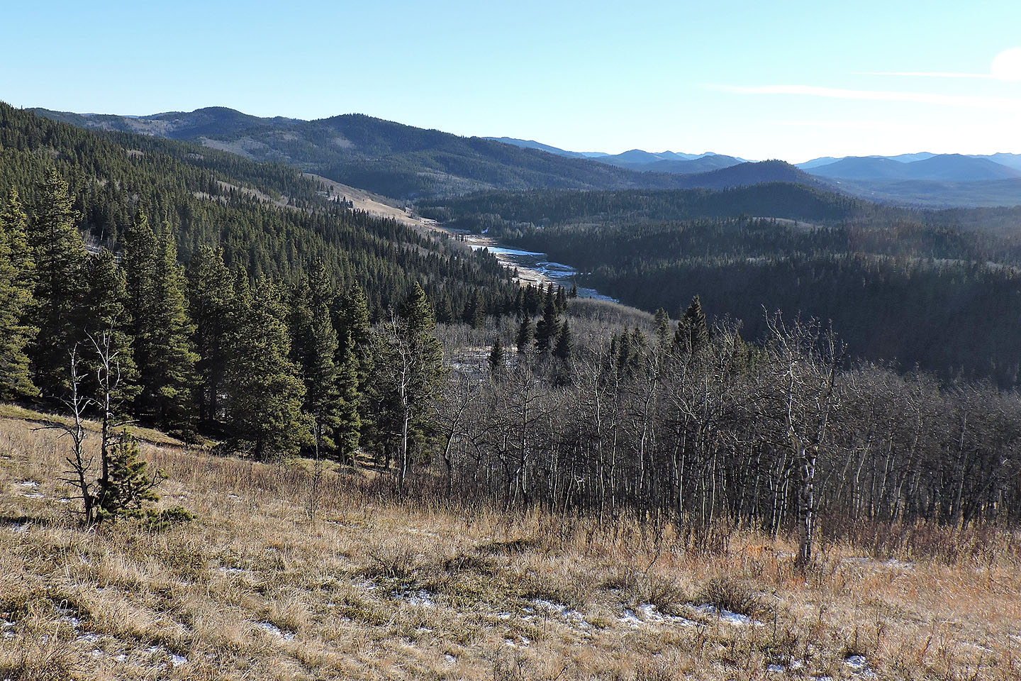
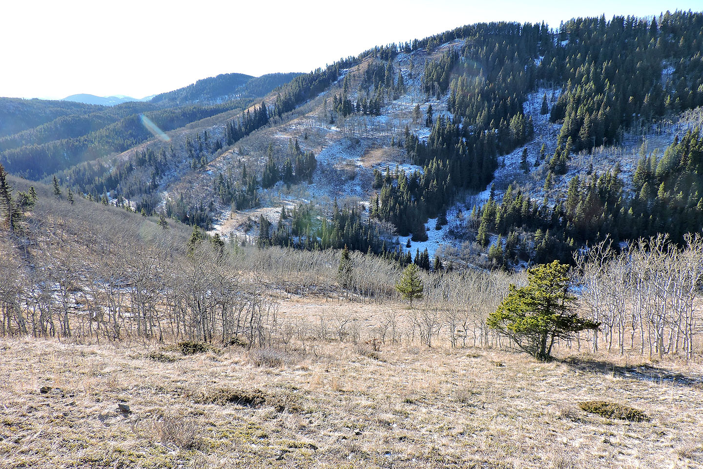
Following the south ridge back, I had a nice view of Stimson Creek Valley
82 J/8 Stimson Creek