bobspirko.ca | Home | Canada Trips | US Trips | Hiking | Snowshoeing | MAP | About
South Mist Hills
Kananaskis, Alberta
October 4, 2015
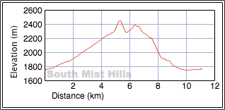
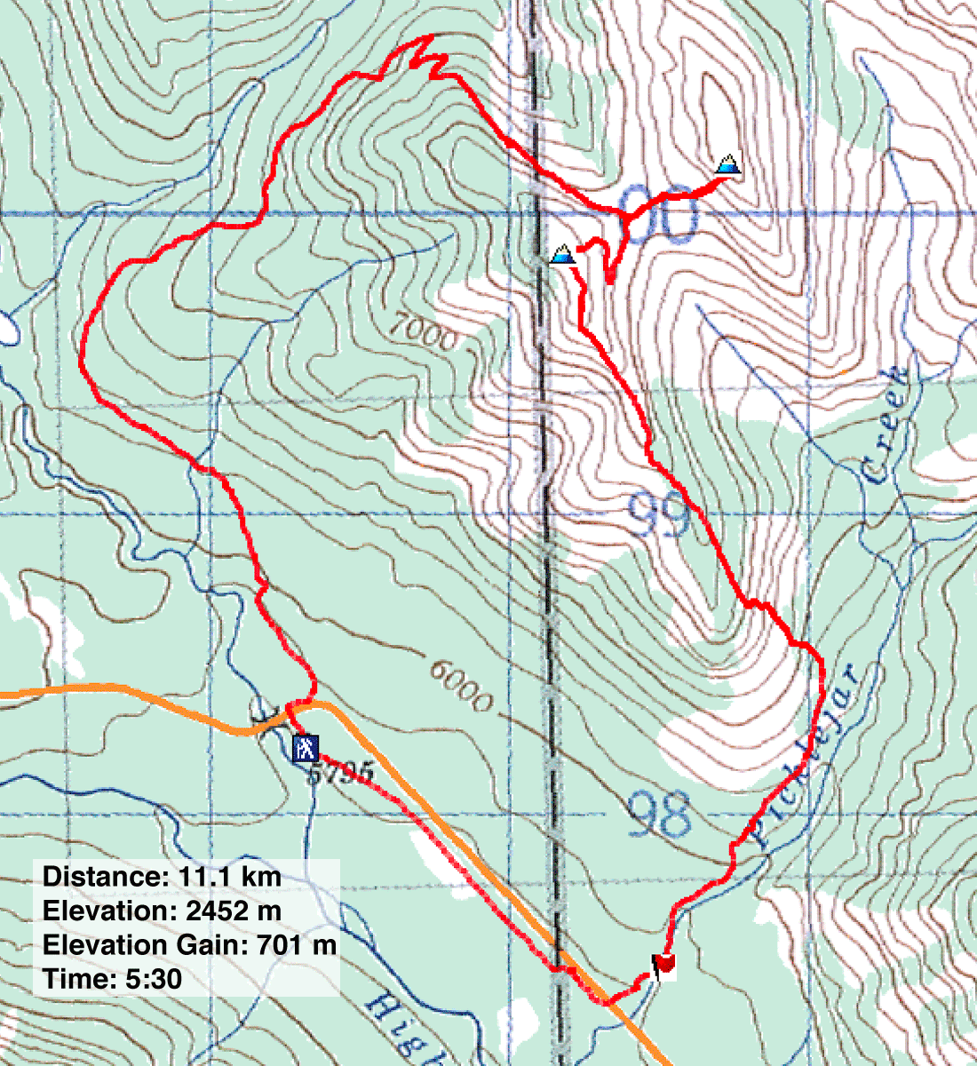
Distance: 11.1 km (6.9 mi)
Cumulative Elevation Gain: 803 m (2635 ft)
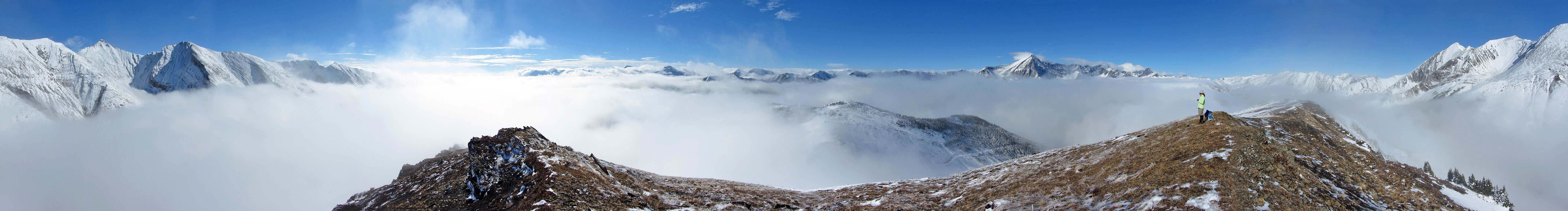
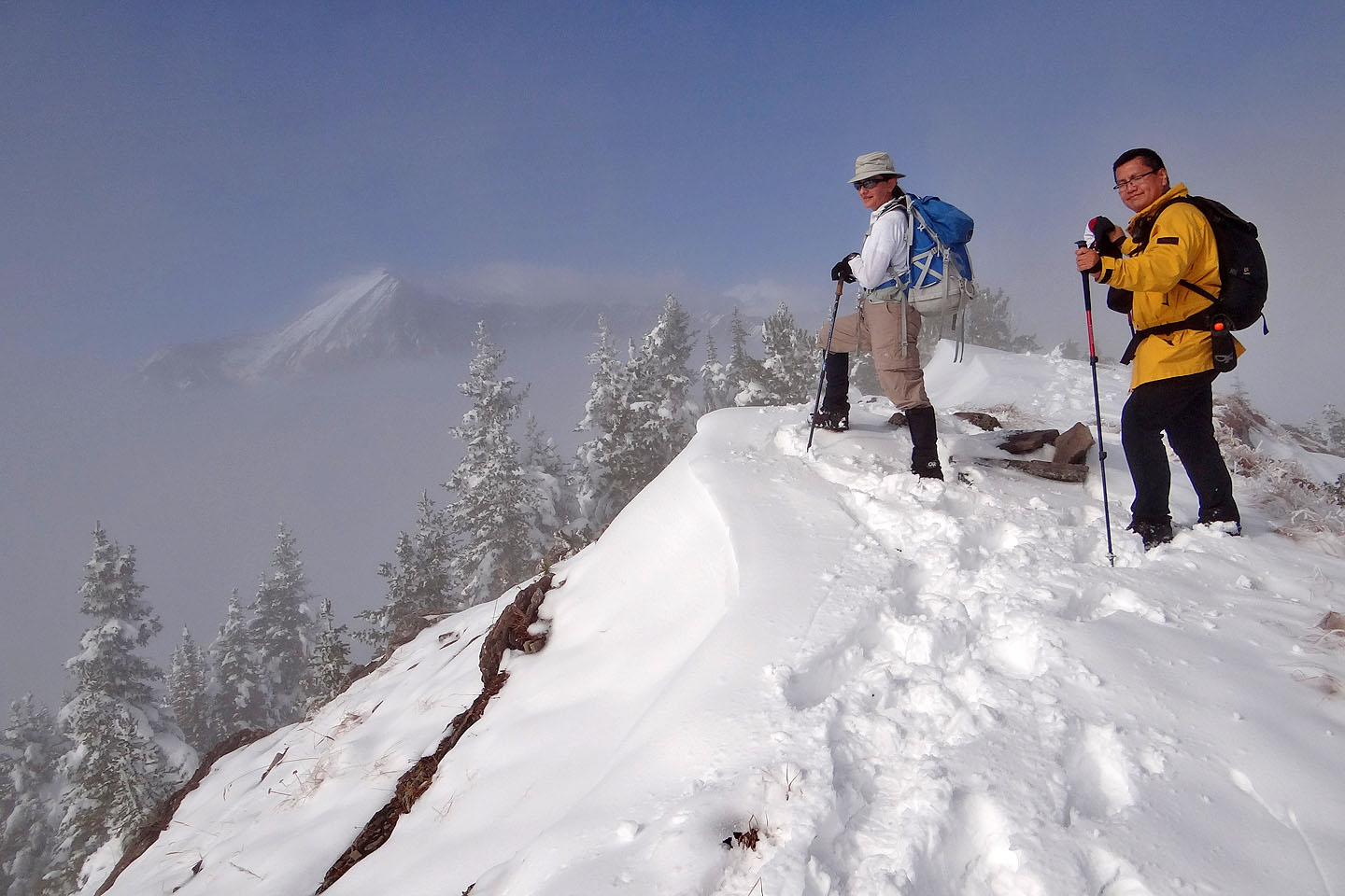
I doubt there is a more breathtaking view on the South Mist Hills than the one we experienced on our trip. Below us lay a blanket of mist, interrupted only by sharp peaks reaching for the sun. It is rare to climb to a height where one can look down on a solid layer of clouds.
I doubt if a view more grand could be found on the South Mist Hills than what we saw on our trip. Below us stretched a blanket of mist broken only by sharp peaks that sought the sunlight. Rare is the climb where one peers down on a solid cloud cover.
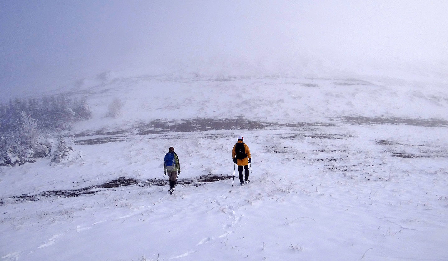
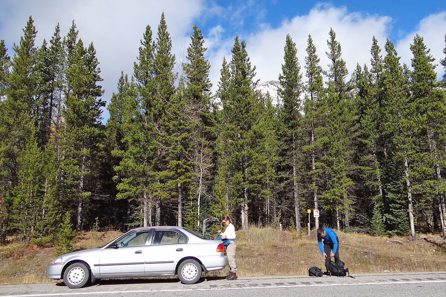
The day didn't appear promising when Zora, Sonny and I started out. A gray ceiling of persistent low cloud hung above the treetops at the Mist Creek trailhead. At our feet, a few yellow aspen leaves littered the ground, and along with a skiff of snow, they signalled fall in the mountains. But as we climbed, the terrain transitioned to winter. Snow and frost blanketed the terrain. And the mist never cleared; we never saw anything beyond a few dozen metres.
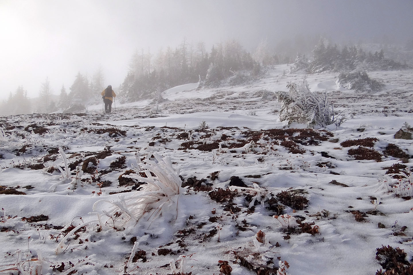
When we reached the barren col between the east and west hills, we were disheartened by the lack of views. Instead of expansive mountain scenery, we saw only gray mist. We couldn't even make out the lower slopes of either hill right beside us.
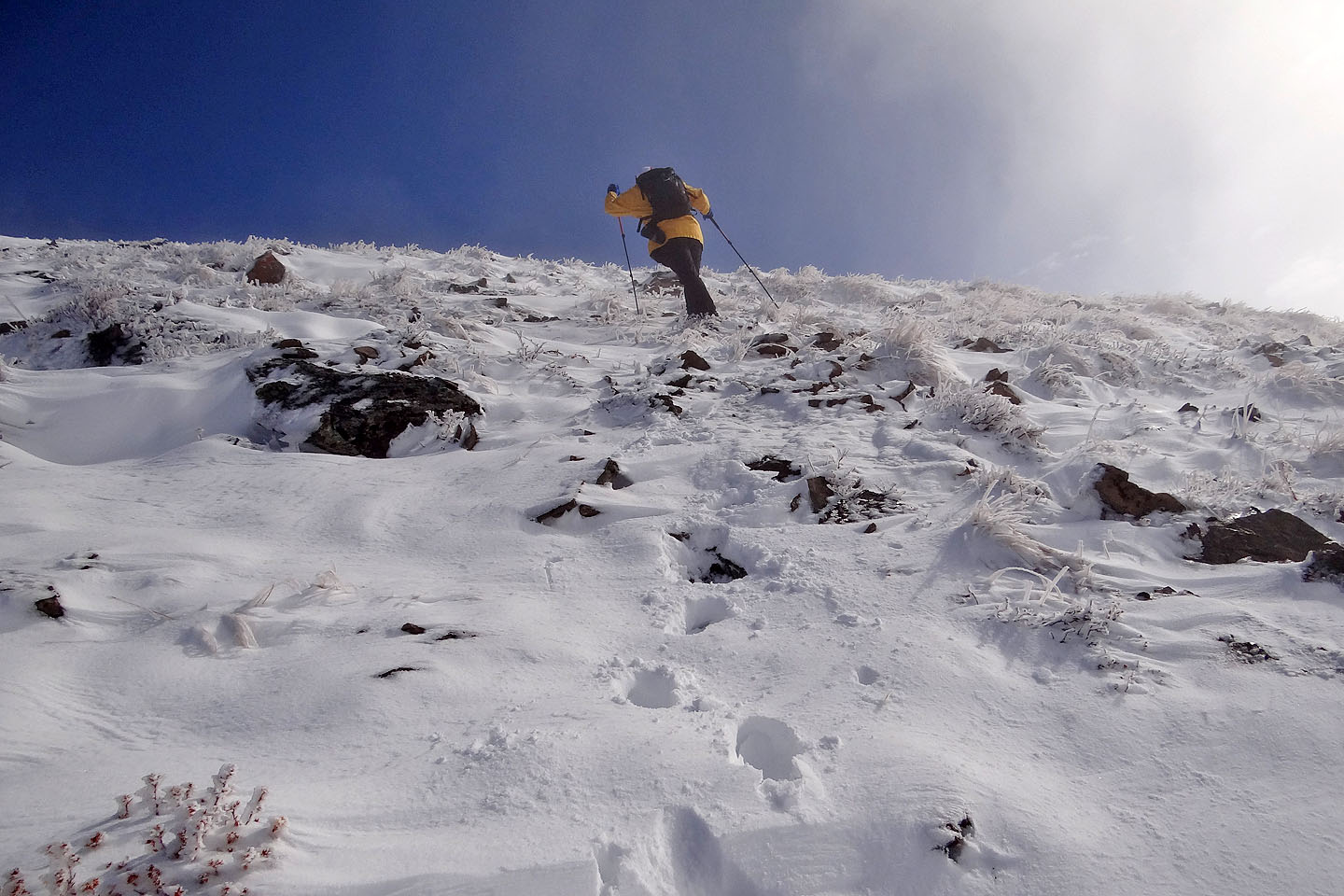
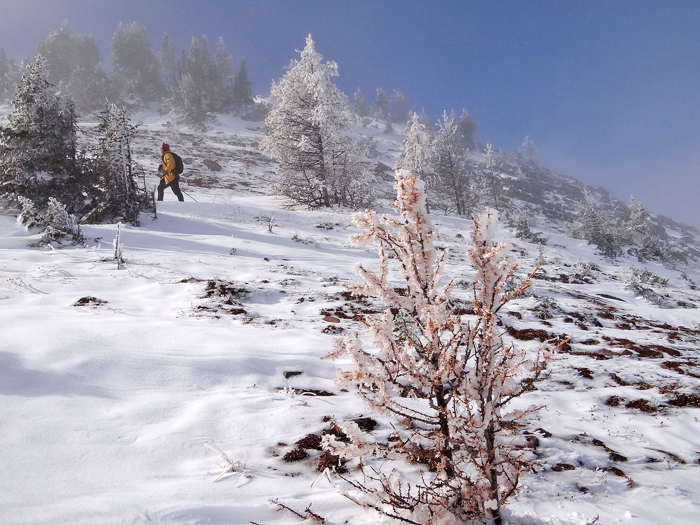
With little enthusiasm, we set off up the east hill, the highest point in the South Mist Hills. Soon, though, a patch of blue appeared in the leaden sky overhead. Moments later, we emerged from the murky mist into bright sunlight and climbed onto a little island in a sea of clouds.
After hiking for hours in fog, the grandeur was unexpected and welcomed. We gazed at the mountaintops soaring out of the clouds as we ate lunch.
All good things must come to an end. Reluctantly, we left the sunlit summit and dropped down the mountainside, back to the col and back into the mist. Taking the suggestion in the Kananaskis Country Trail Guide, we wanted to trace a loop. That meant ascending the west hill next and following the southeast ridge to Picklejar Creek trail. The trail came out at the highway, a kilometre from our starting point.
After hiking up the west hill, we found the summit didn't quite break the cloud cover, so it lacked the views we had on the east hill. We didn't stay long. We started down the southeast ridge.
We didn't take the ridge all the way down, however. When we came to a gap in the ridge, we didn't climb up the other side. Instead, we kept low and followed a trail on the west side of the ridge. When the trail disappeared into a grassy slope, we made our way down to Picklejar Creek trail. By now, the clouds had begun to dissipate, giving way to blue sky. As we walked back along the highway to our car, I could plainly see the last summit we climbed. The mist had finally cleared from the South Mist Hills.
KML and GPX Tracks
Sonny's Trip Report
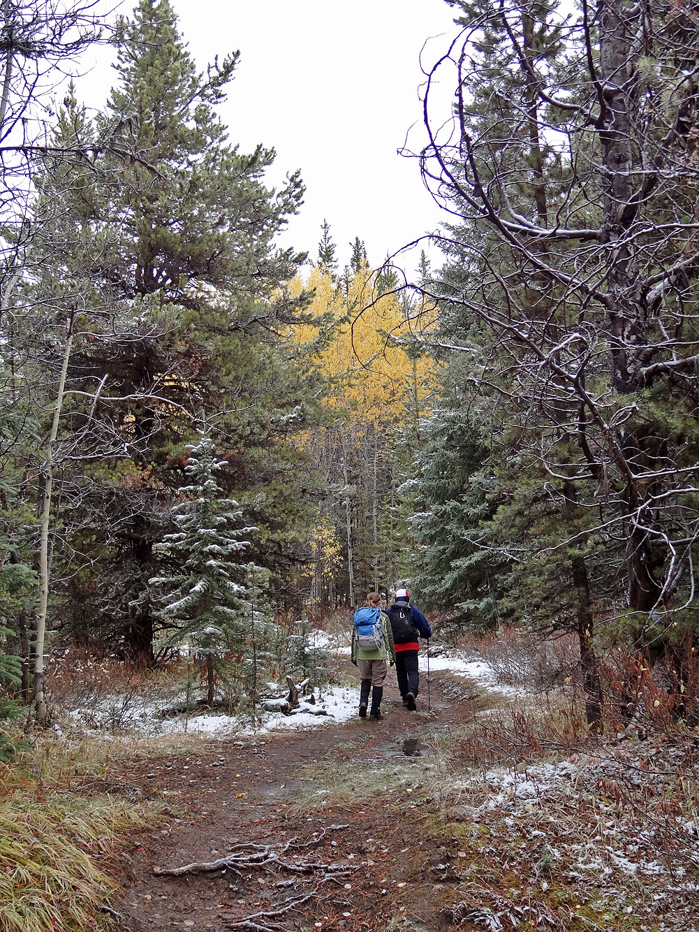
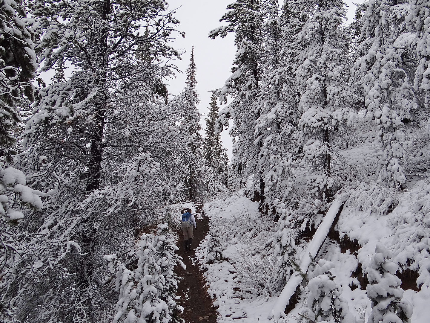
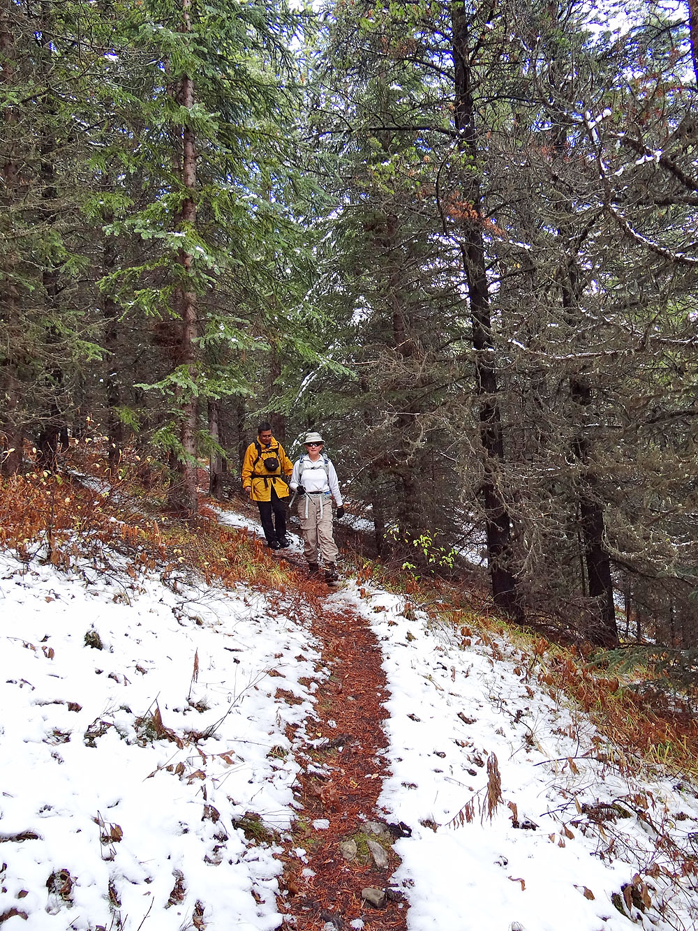
Starting up Mist Creek Trail
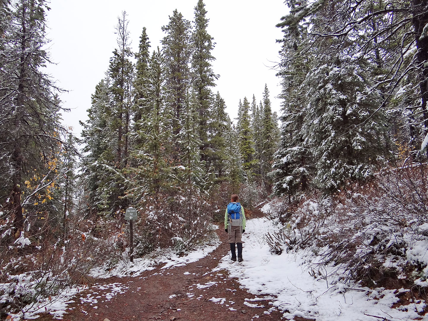
We took the right fork at the first junction
It's beginning to look a lot like winter
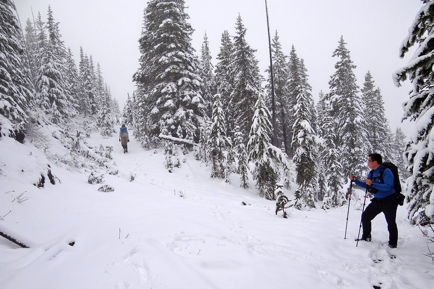
We took another right a the next junction
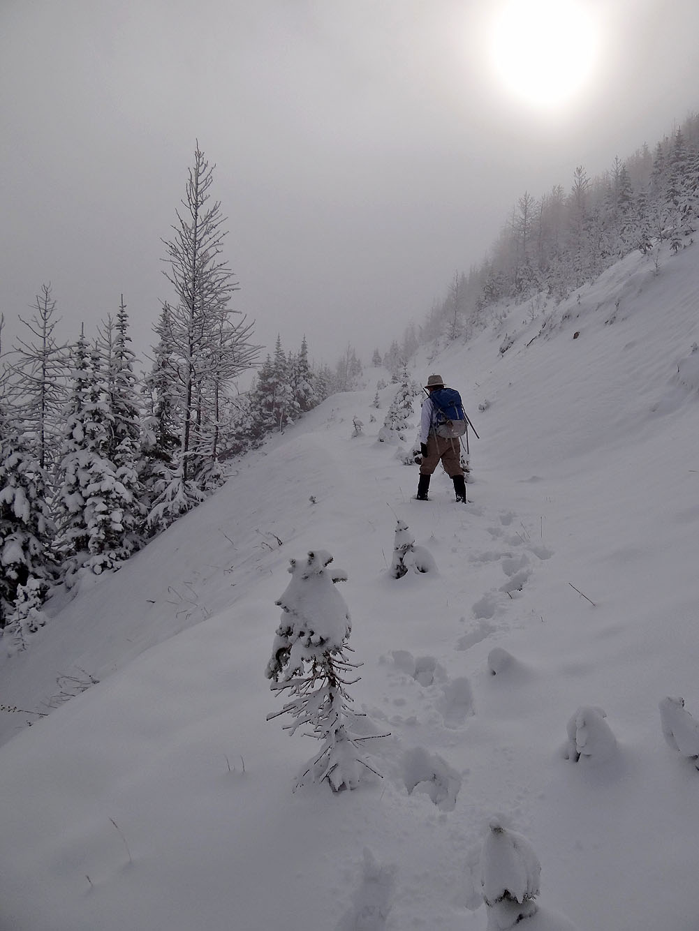
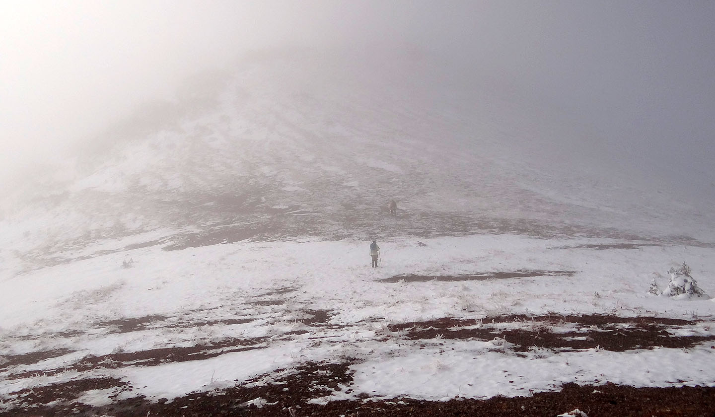
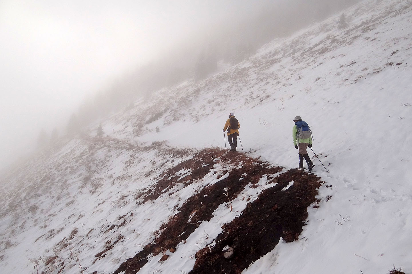
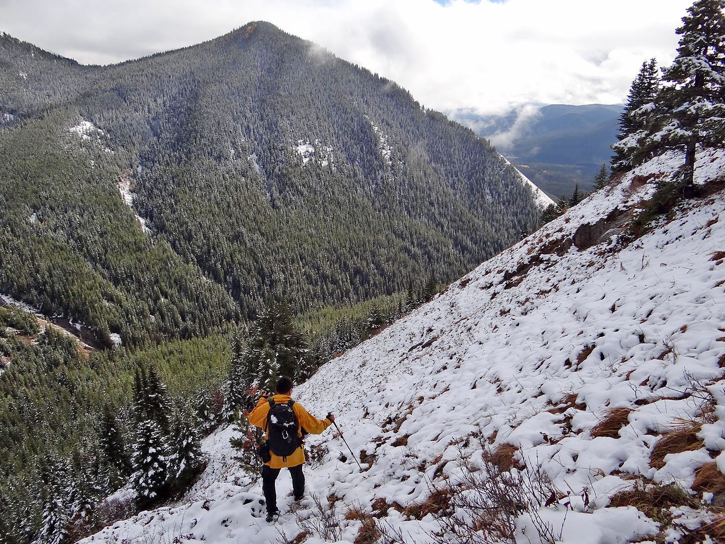
The trees thinned but the mist hid any sign of the col ahead
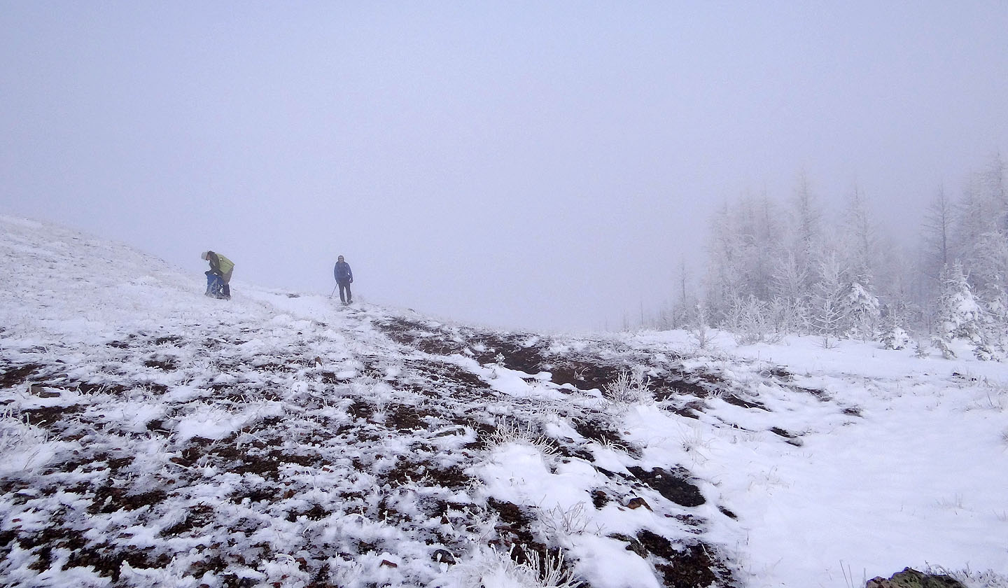
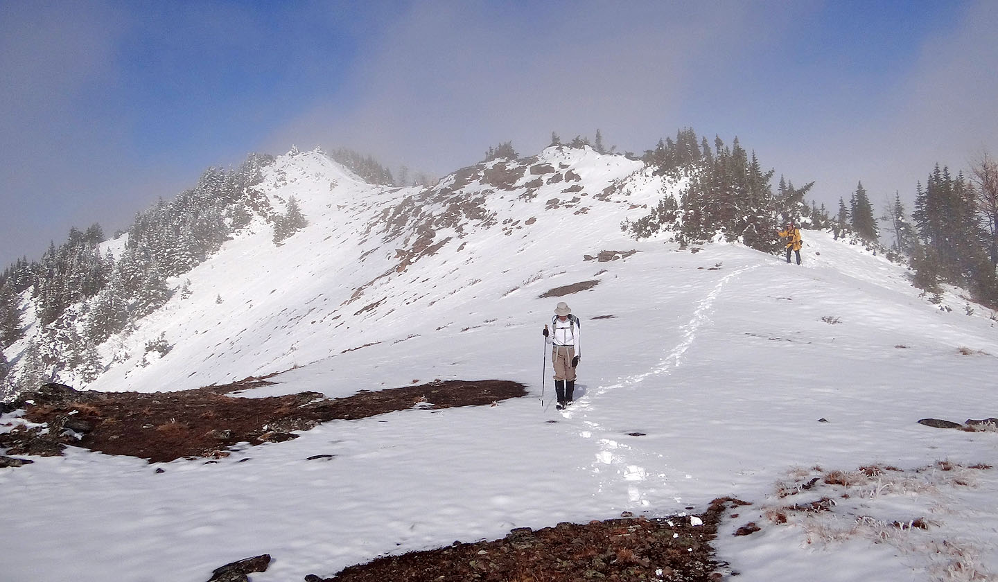
We arrived at the bleak col
We could see nothing of the east hill even though it rose 150 m above us
We were amazed to find blue sky above the summit
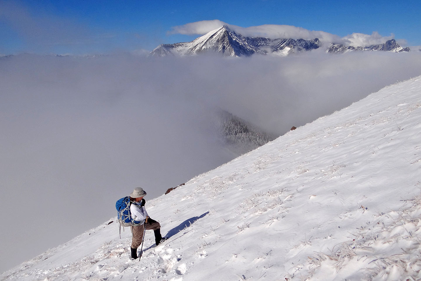
Behind us, Mist Mountain appeared above the mist
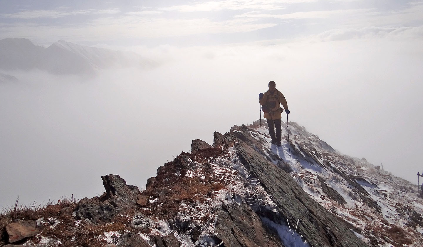
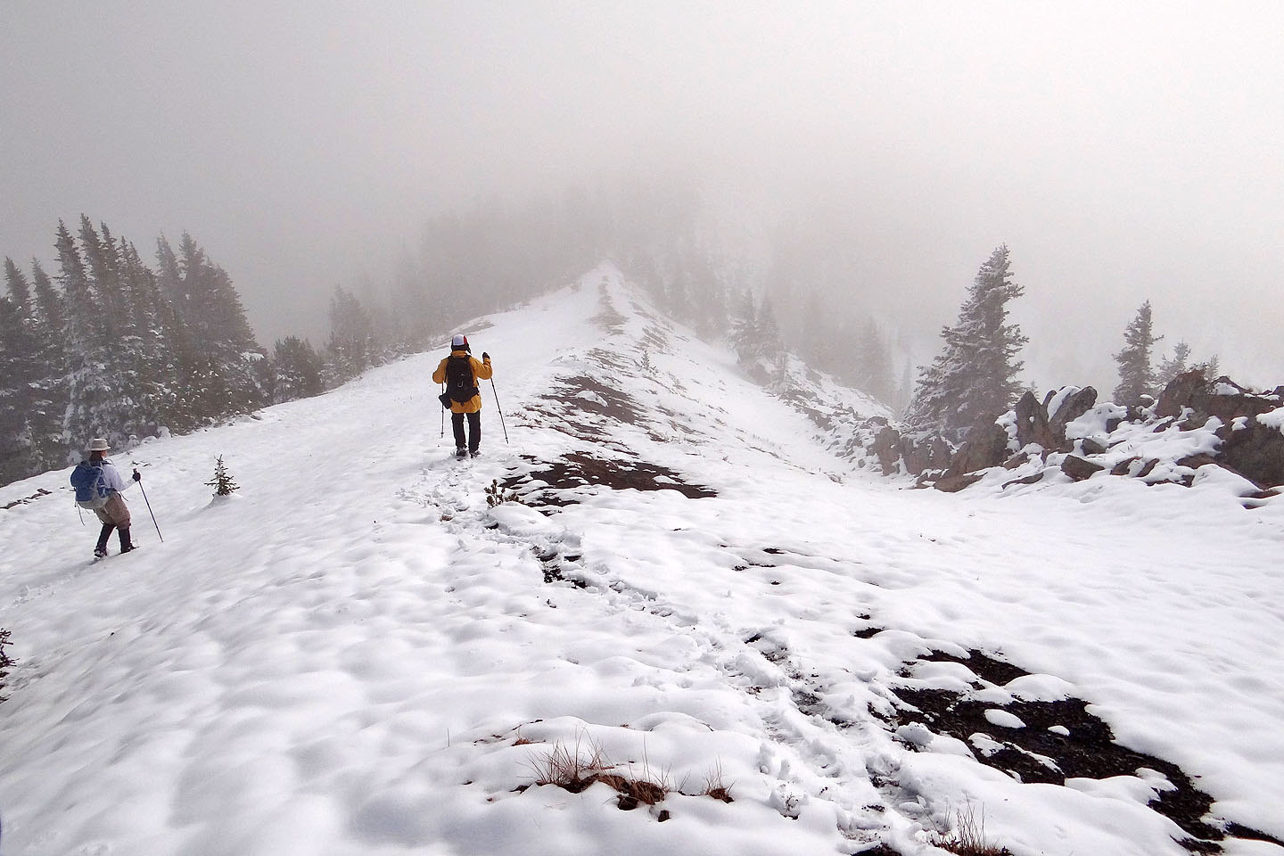
Sonny walks along the crest
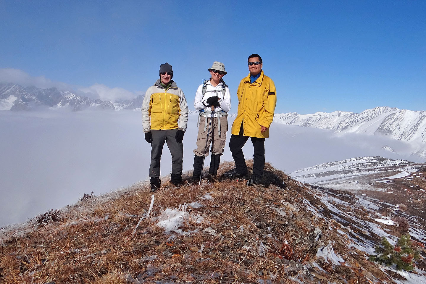
Standing on the east hill
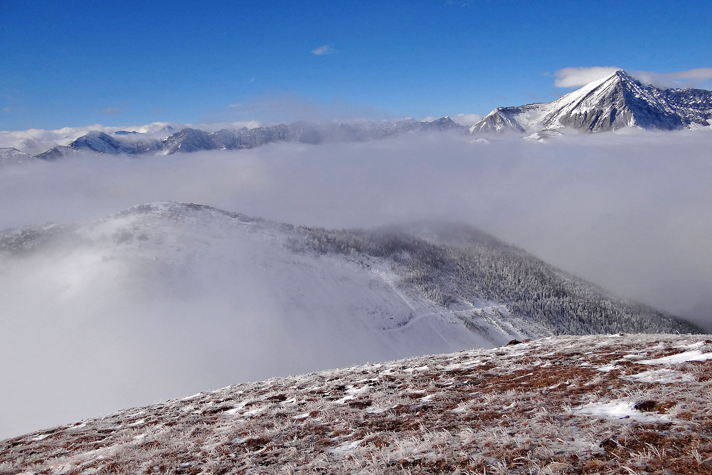
Looking at the west hill. Note the road we hiked up.
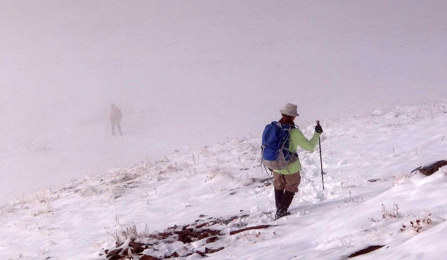
On our way down to the col, we were again enveloped in mist
Starting up the west hill from the col
We hiked up a road on the left side
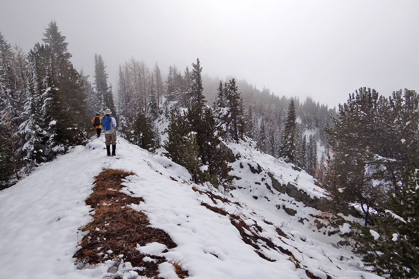
After leaving the road we headed to our second summit
We saw many larches on our trip but they had lost most or all of their needles
On top of the west hill
Coming down the west hill, the summit is far left
Soon we'll be in trees
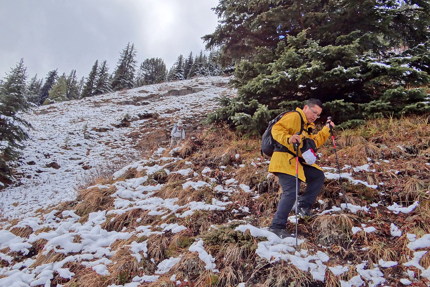
Instead of climbing up the other side of a break in the ridge, we kept low and followed a trail
Even under snow, the trail was obvious
150 m above Picklejar Creek trail, our trail petered out on a grassy slope
Coming down without the aid of a trail
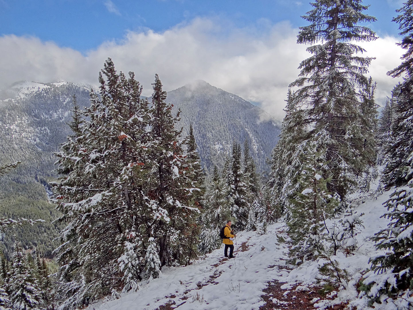
On Picklejar Creek trail
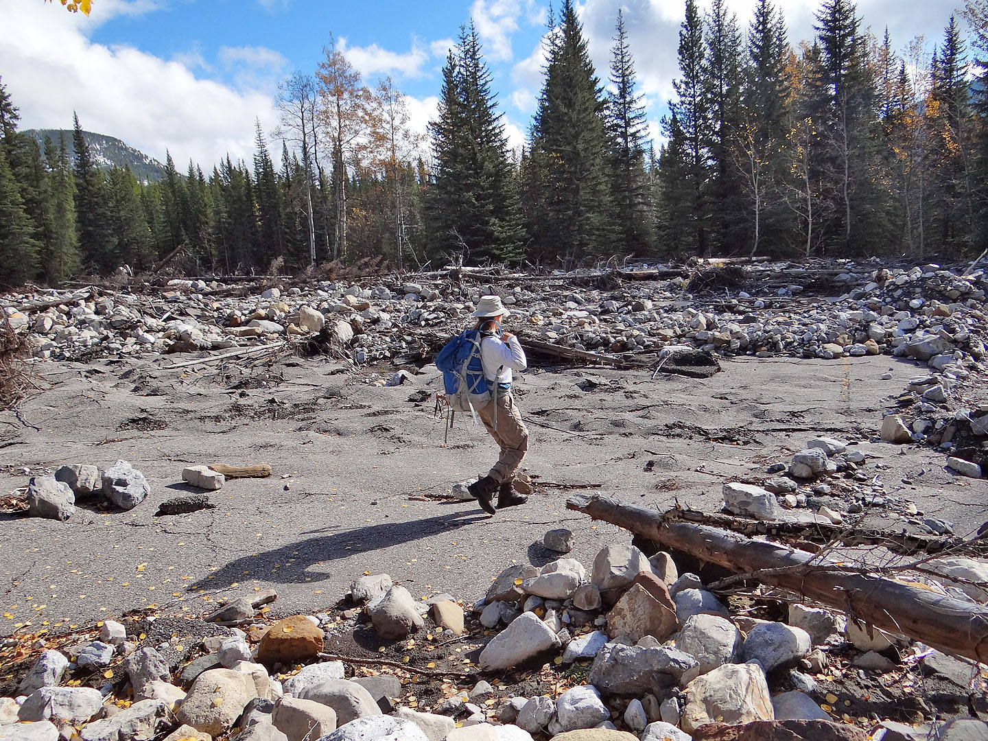
Zora crosses the pavement of what was once Picklejar parking lot (mouse over for another view)
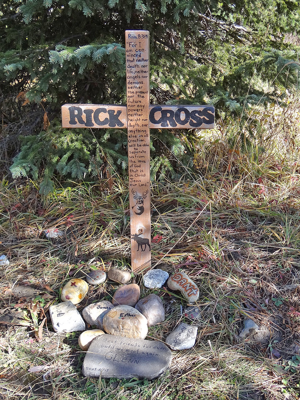
We passed a memorial for Rick Cross, a hunter killed by a bear
last year while hiking along Picklejar Creek trail
Back at the trailhead, the west hill is visible through the trees
82 J/10 Mount Rae