bobspirko.ca | Home | Canada Trips | US Trips | Hiking | Snowshoeing | MAP | About
Sunrise Hill Loop
Kananaskas, Alberta
October 1, 2026
Distance: 6.7 km (4.2 mi)
Cumulative Elevation Gain: 416 m (1365 ft)
Sunrise Hill can be reached using Jumpingpound and Rainy Summit Ridge trails, but I learned of another trail. Dinah, Christine and I made a loop by hiking up a bike trail and coming down Rainy Summit Ridge Trail.
We parked at the pullout on Highway 66 east of Sunrise Hill and started up an old road. The road doesn’t connect directly to the bike trail, so we turned onto a path. Apparently paths connect to the bike trail, but we couldn’t find the right ones and ended up bushwhacking a bit to catch the bike trail.
We followed the trail, quite steep in some places, to a junction 60 m below the summit. The bike trail continues left, but after summiting, we returned here to take the 150 m connector to Rainy Summit Ridge Trail. Alternatively, one could follow the Ridge Trail from the summit all the way back. Either way, it’s a nice loop.
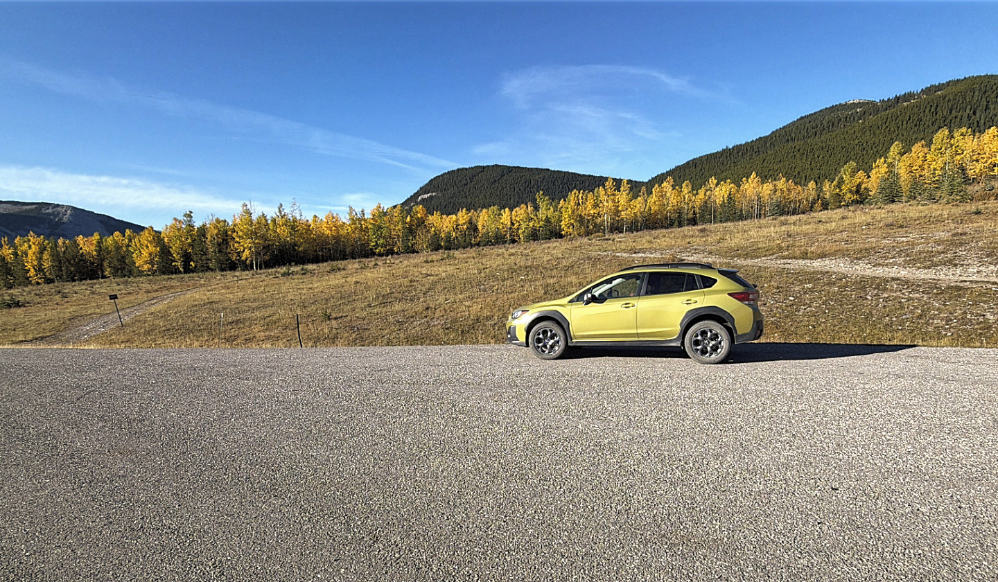 We started up the road on the left and returned on the right
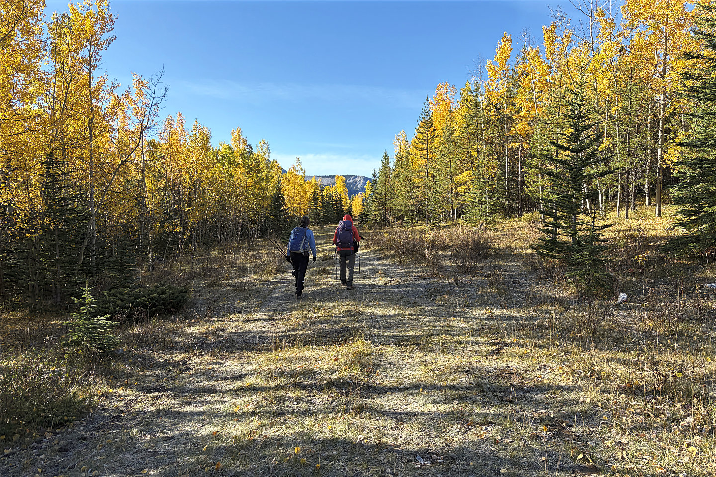 Going along the road
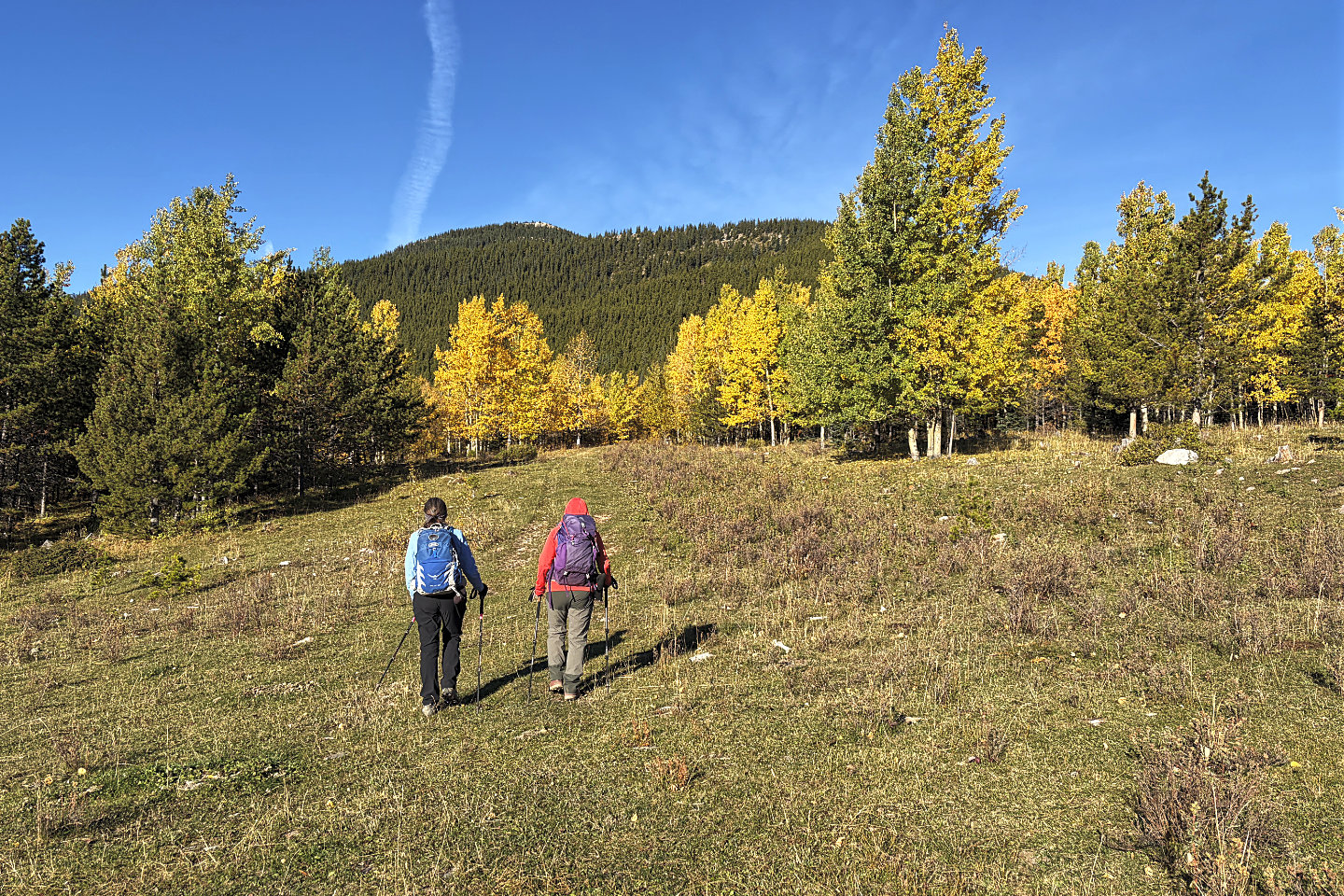 We turned onto a trail heading toward Sunrise Hill
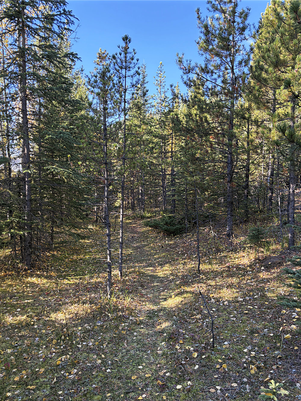
We followed the trail through the forest
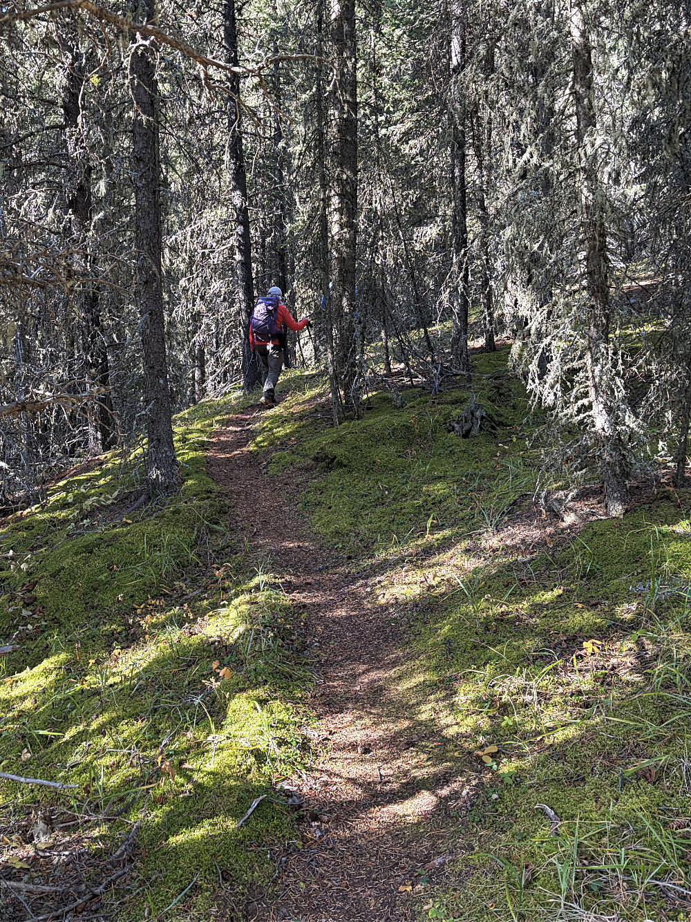
After following trails and bushwhacking a bit, we found the bike trail
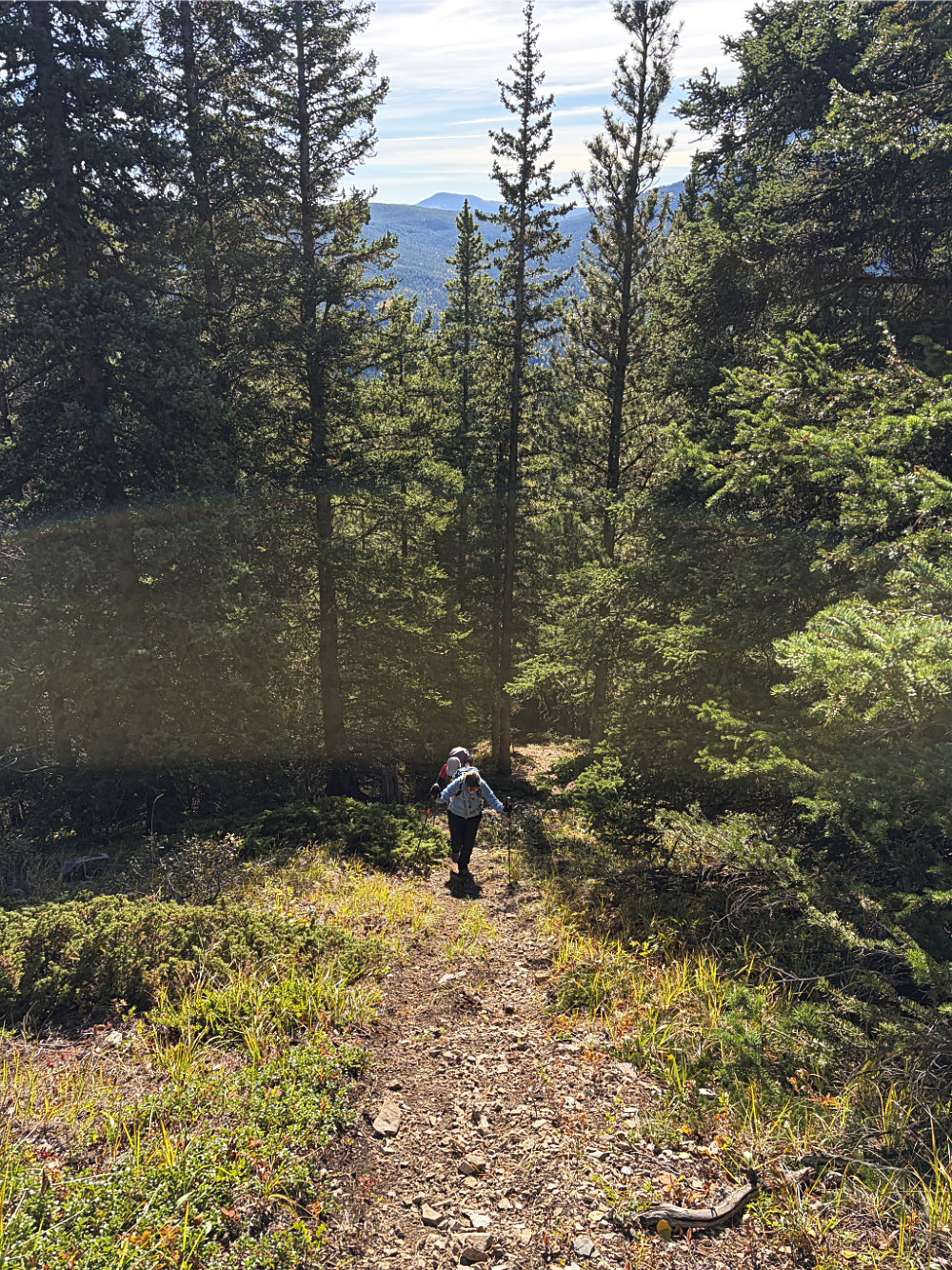
Going up the trail in small clearing
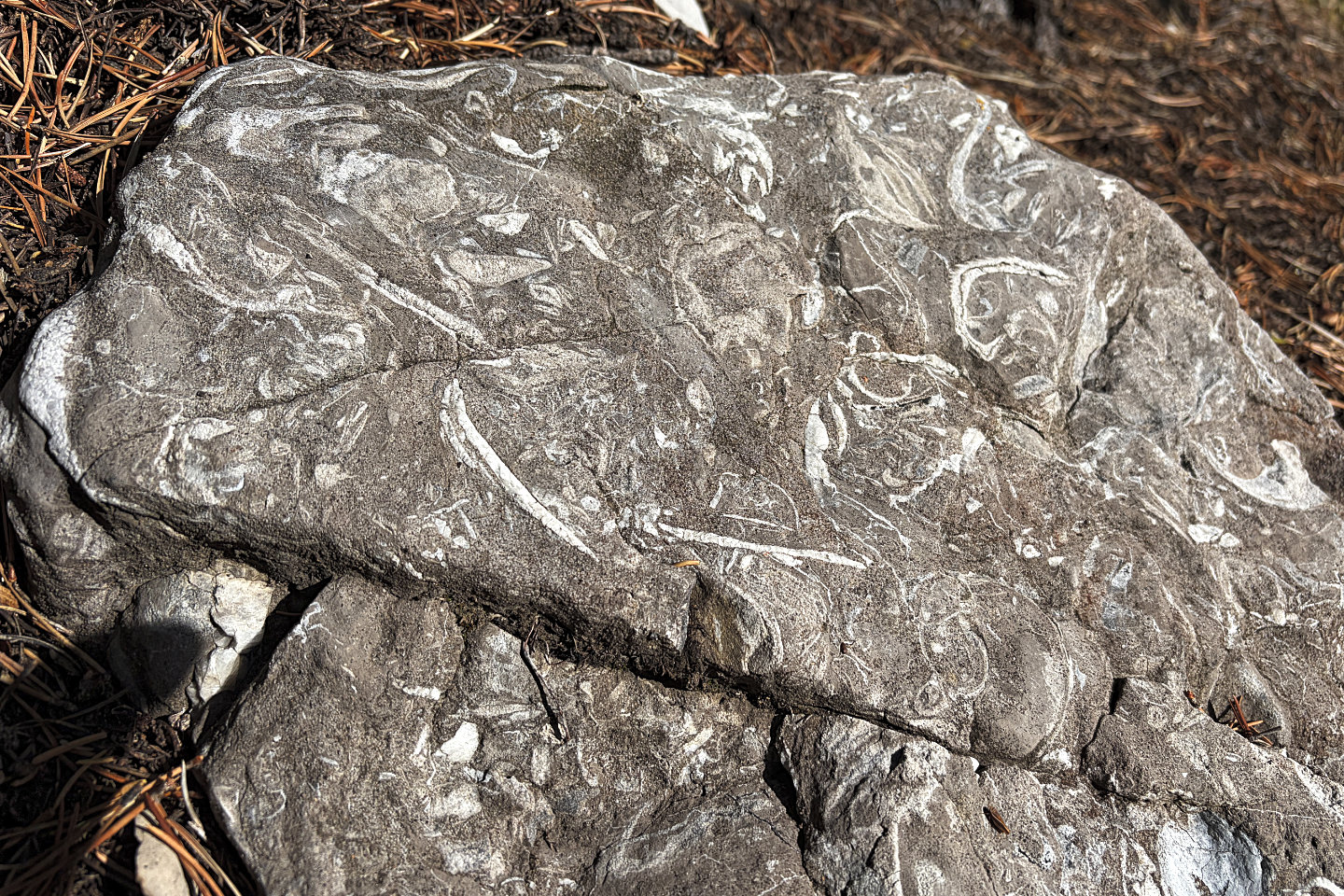 A rock on the trail with fossils
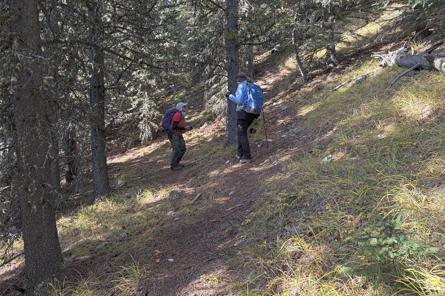 I'm standing on the connector to Rainy Summit Ridge Trail. We came up the trail on the left and turned left.
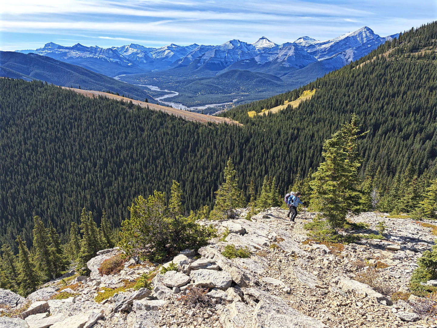 Heading to the open summit
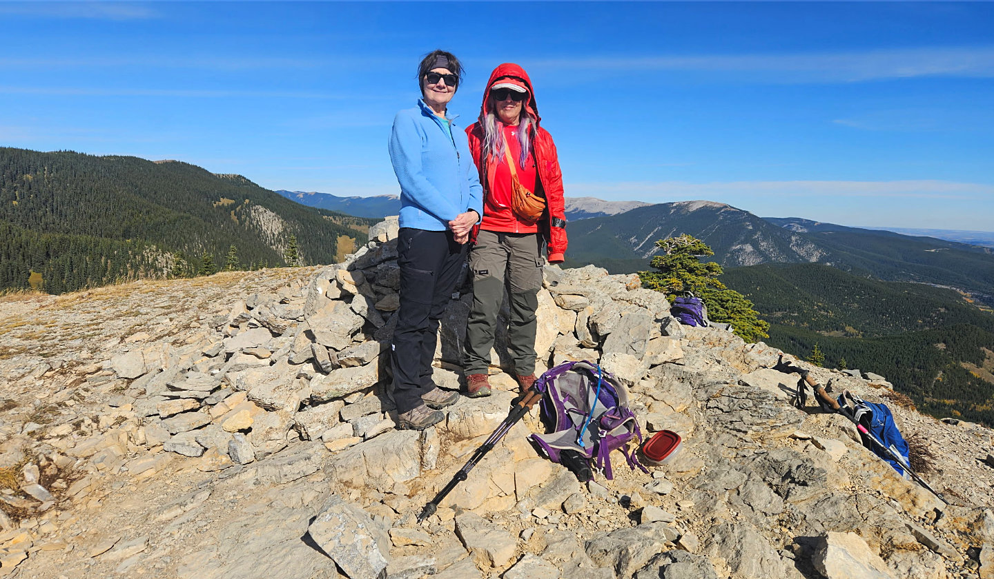 Dinah and Christine on the summit
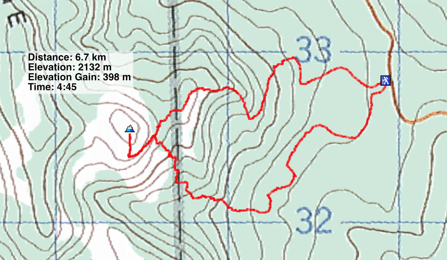 82 J/15 Bragg Creek