bobspirko.ca | Home | Canada Trips | US Trips | Hiking | Snowshoeing | MAP | About
Observer’s Hill
Kananaskis, Alberta
August 1, 2022
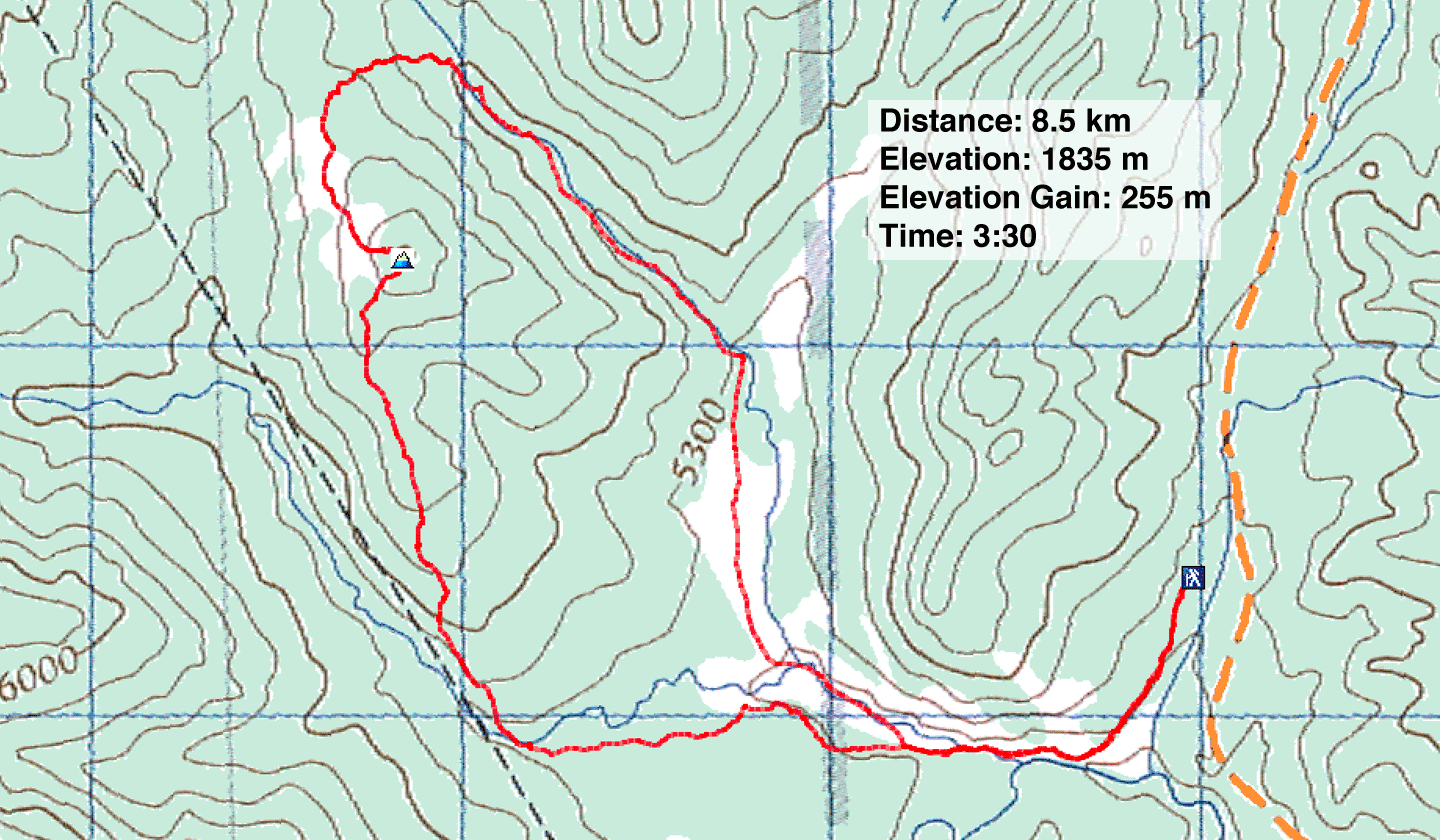
Distance: 8.5 km
Cumulative Elevation Gain: 292 m
The hill described in Kananaskis Country Trail Guide, Vol. 4 looked promising as a half-day hike. Finish by noon, I thought. However, the trails weren't as simple as I thought, and Dinah and I lost time routefinding.
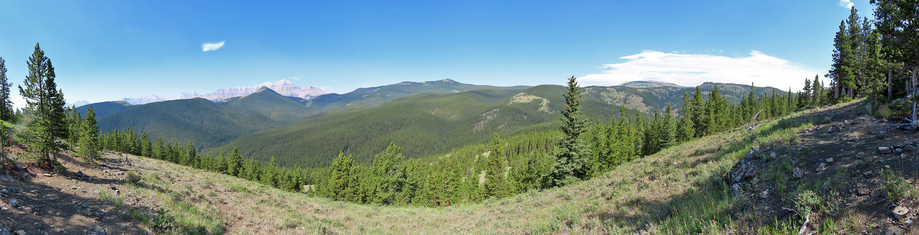
Gillean calls it Hill 618163, but I thought it fitting to call it Observer's Hill after nearby Surveyor's Ridge and Prospector's Ridge. And much can be observed from the open west slopes, such as Mount Ware and Bluerock Mountain.
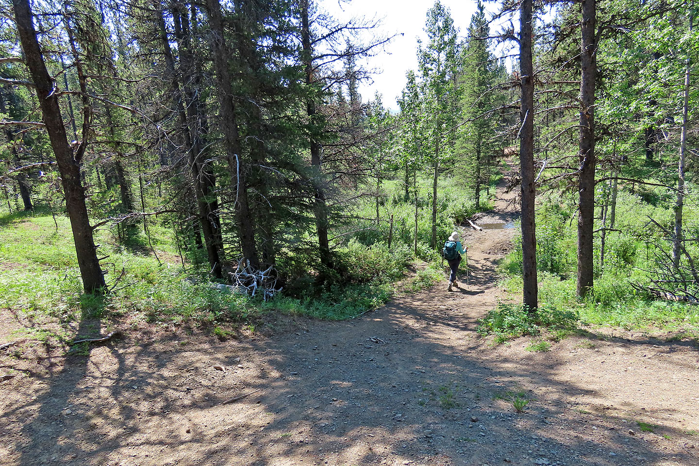
We set off on Gorge Creek Trail, passed Mount Ware junction and continued on a connector trail. When the trail bent right, we continued straight ahead, crossing a meadow with no sign of a trail. In the trees, however, we picked up a trail or rather a network of trails that branched, disappeared and reappeared. But when there was no trail, hiking was easy; deadfall and underbrush were no problem. Eventually we came to a good trail and looked for a place to cross a creek, the northwest fork of Gorge Creek.
After crossing the creek, we reached the access road. This delightful swath provides a pleasant ascent up the south ridge of Observer's Hill. When the road crested, we caught a side road that continues up. The road soon ended, but we bushwhacked easily to the hilltop.
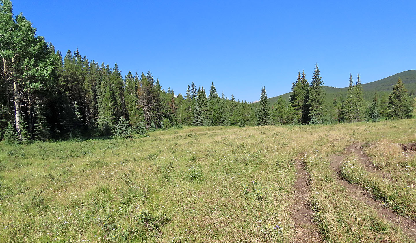
Covered in trees, the summit was no place to dally. We descended the west slope and soon reached a broad meadow where the views popped open. We continued dropping down, working our way right while sticking to meadows. I was expecting to encounter the unofficial trail described in the guidebook, but after reaching the bottom of the meadow and searching in vain, we saw no path. So we bushwhacked 300 m to Volcano South Trail. This, fortunately, is a great, well-trodden path. We followed it and shortly came to Gorge Ware Connector. This trail, like the west slope of Observer's Hill, was another bright spot on an otherwise shady hike through woods. We cruised through spacious meadows back to Gorge Creek Trail.
Several minutes into the trip, just before Gorge Creek Trail drops down to cross a bridge, Observer's Hill appears ahead.
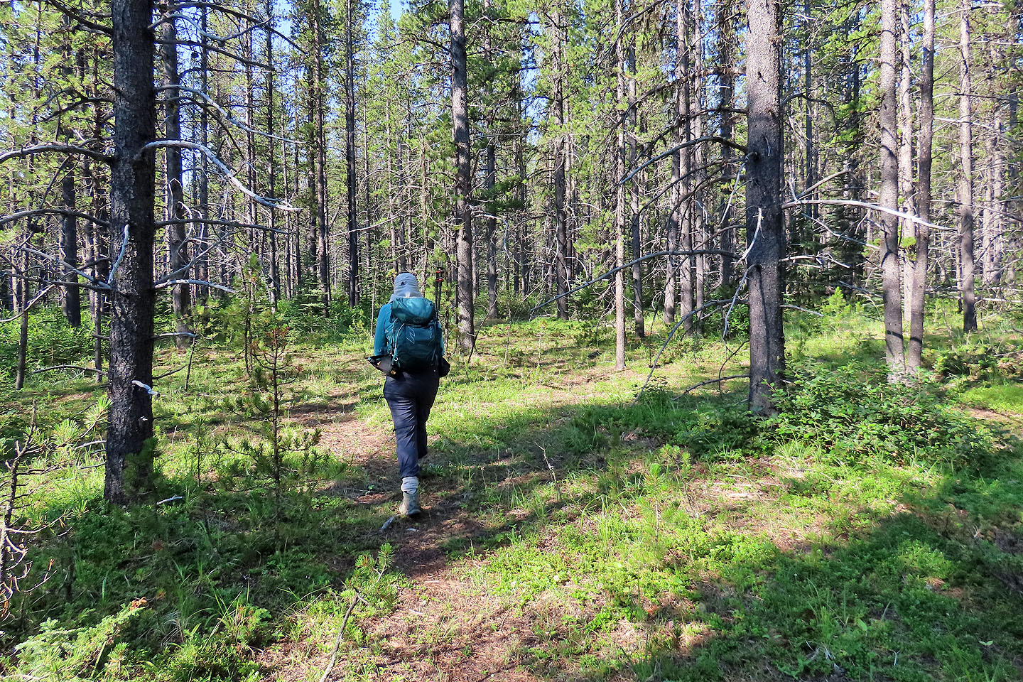
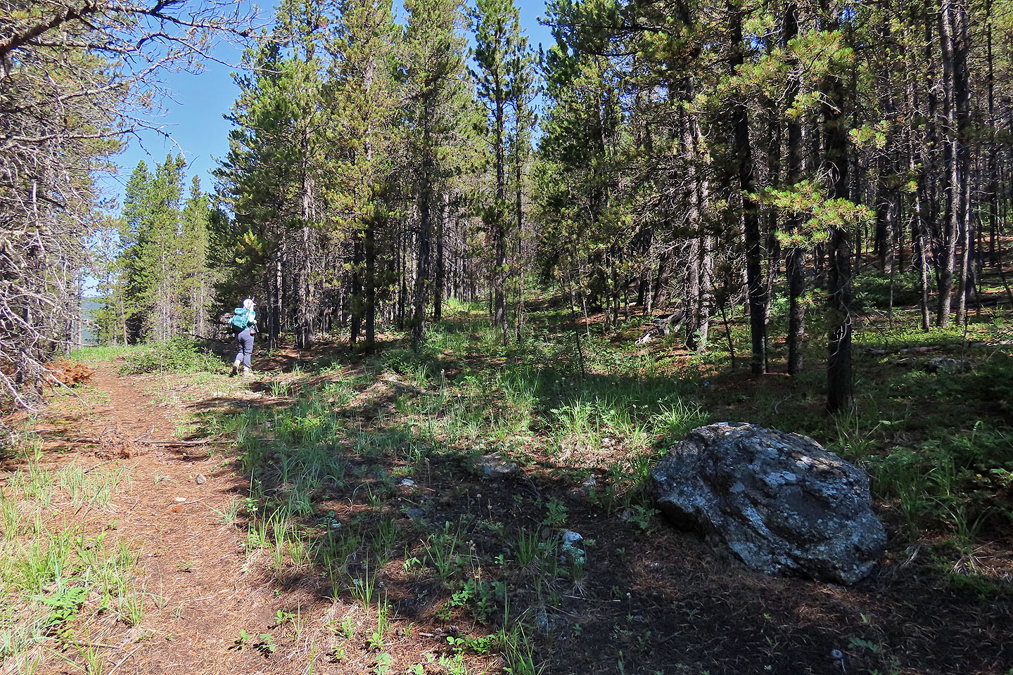
After the trail passes the junction for Mount Ware and turns right, we continued ahead, across a meadow
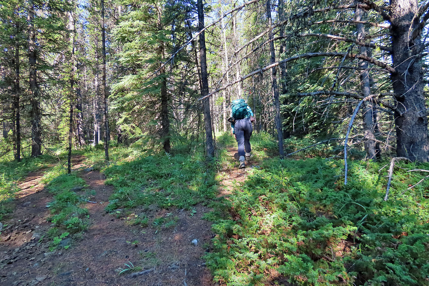
We found a trail in the trees, although it often split or disappeared
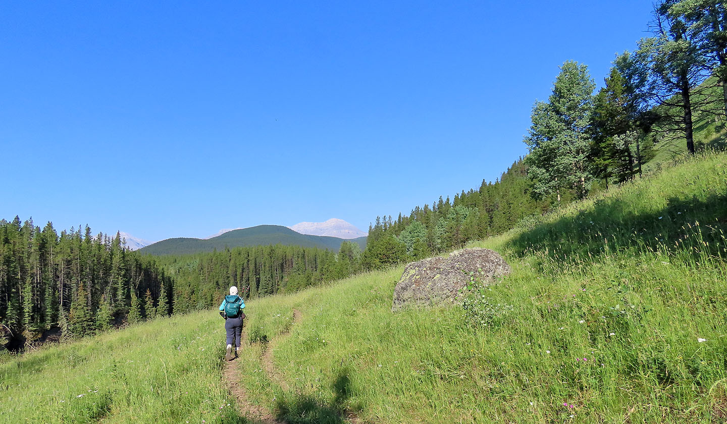
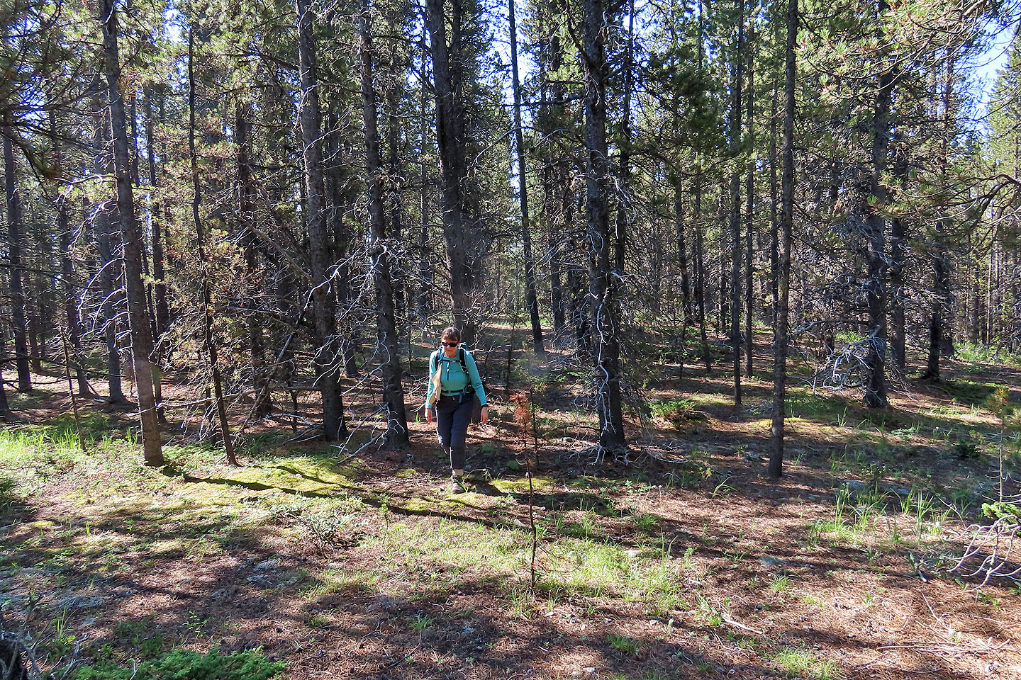
We continued west, sometimes on a trail, sometimes not
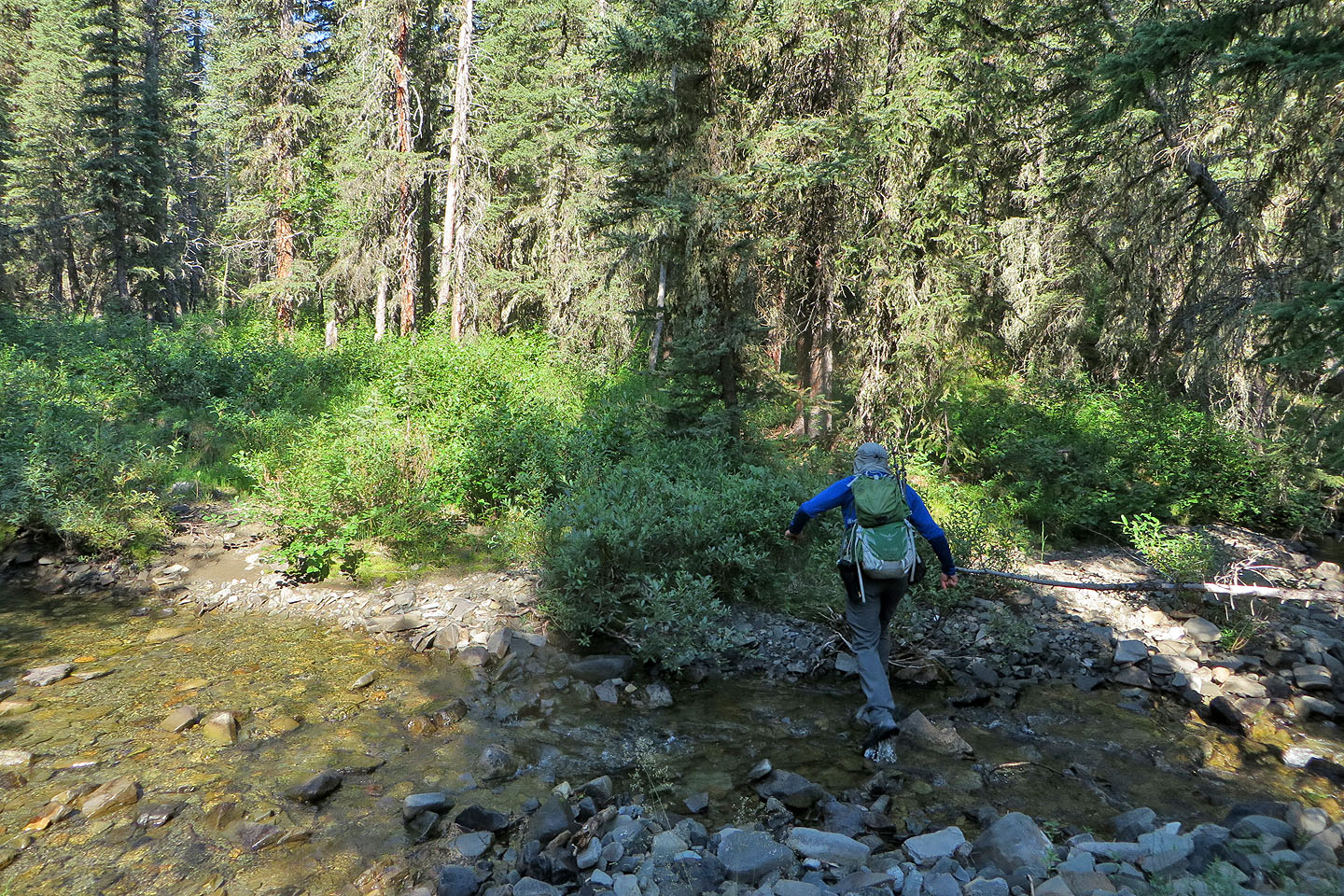
Eventually we found a good trail only to soon leave it to cross a creek
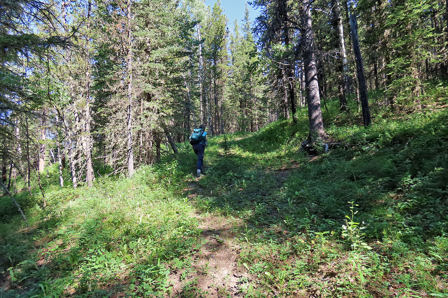
After the creek, we hiked up an old road
We continued up the pleasant road
When the road crested, we turned off onto a side road
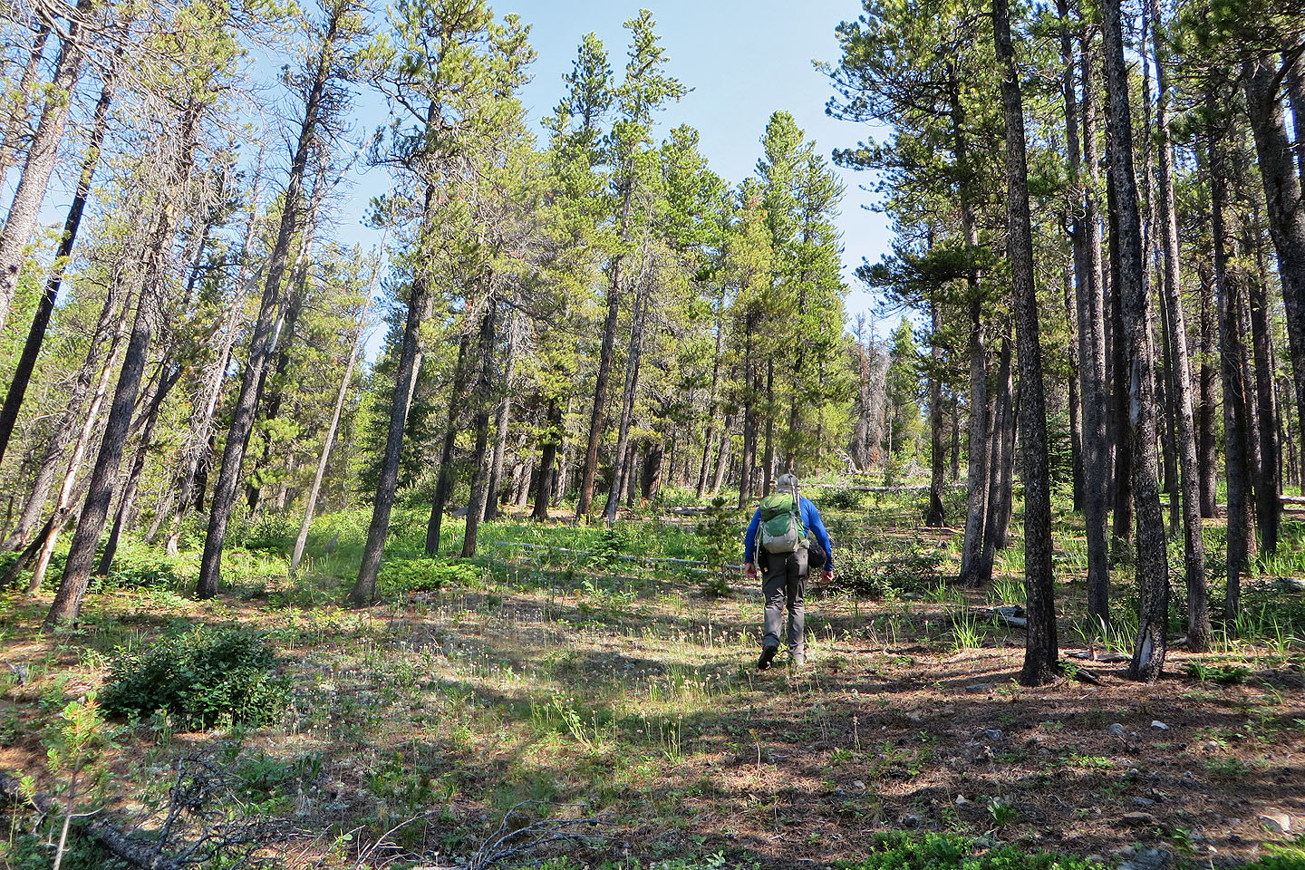
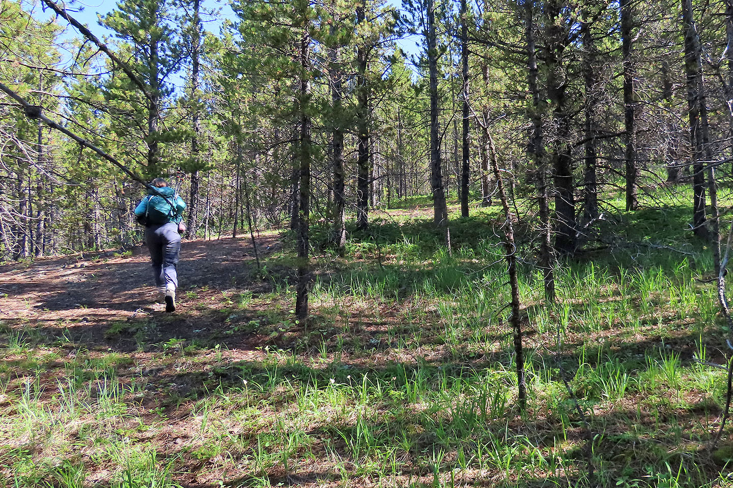
When the road ended, we continued hiking through thin trees
Nothing to see as we neared the summit
Trees cover the summit
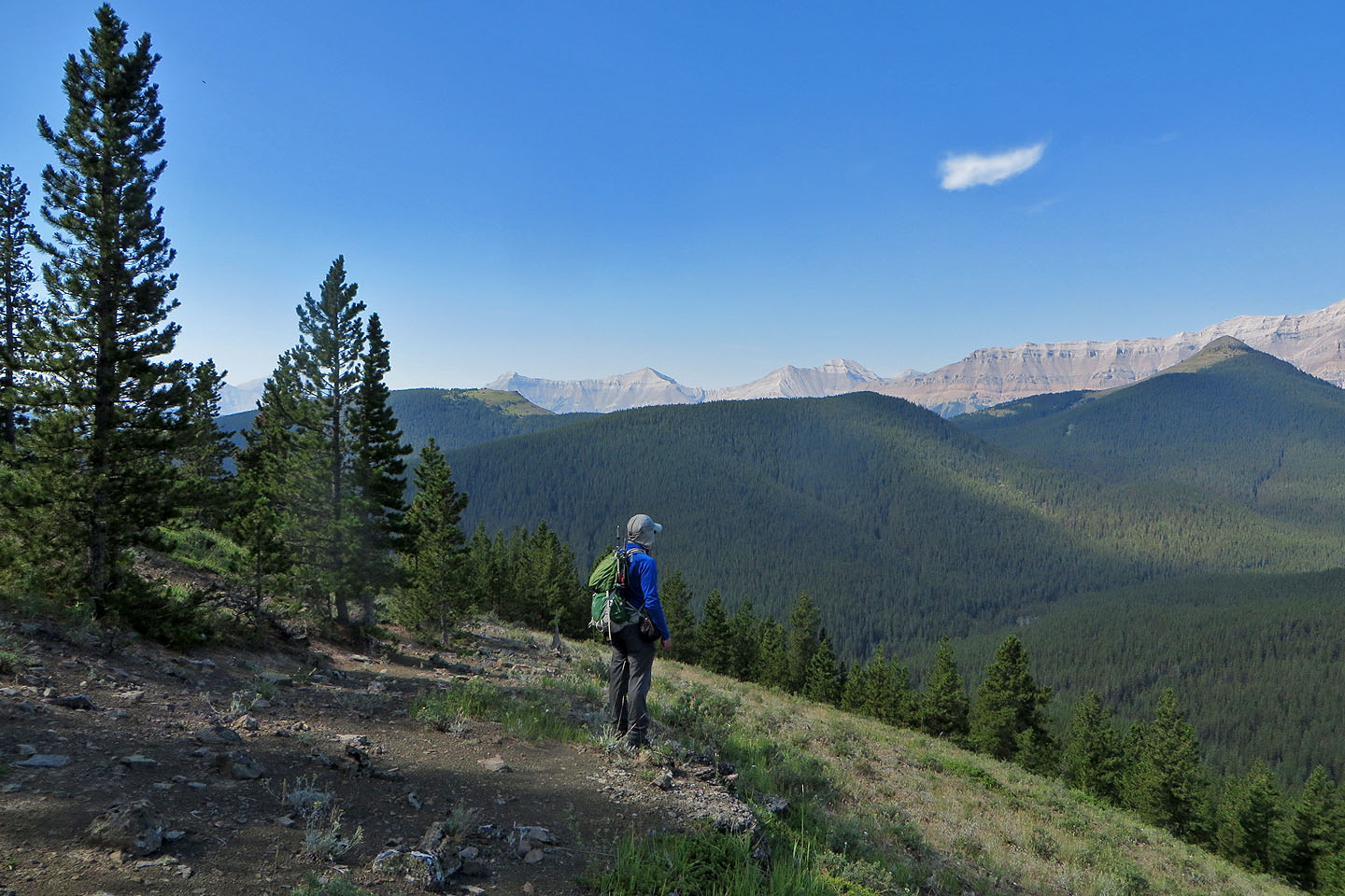
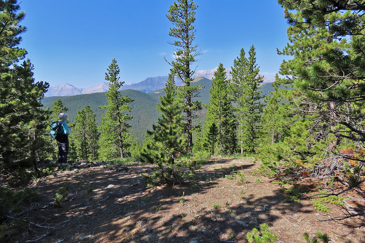
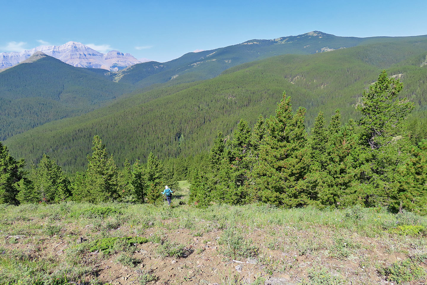
After dropping down the other side of the summit, we came to the top of a clearing. In the foreground are Little Ware and Mount Ware.
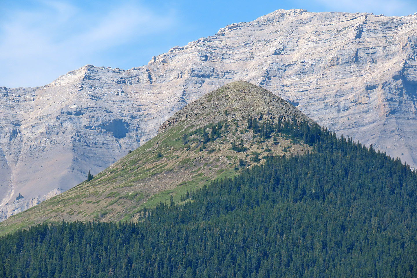
A close look at the summits of Bluerock Mountain and Mount Ware
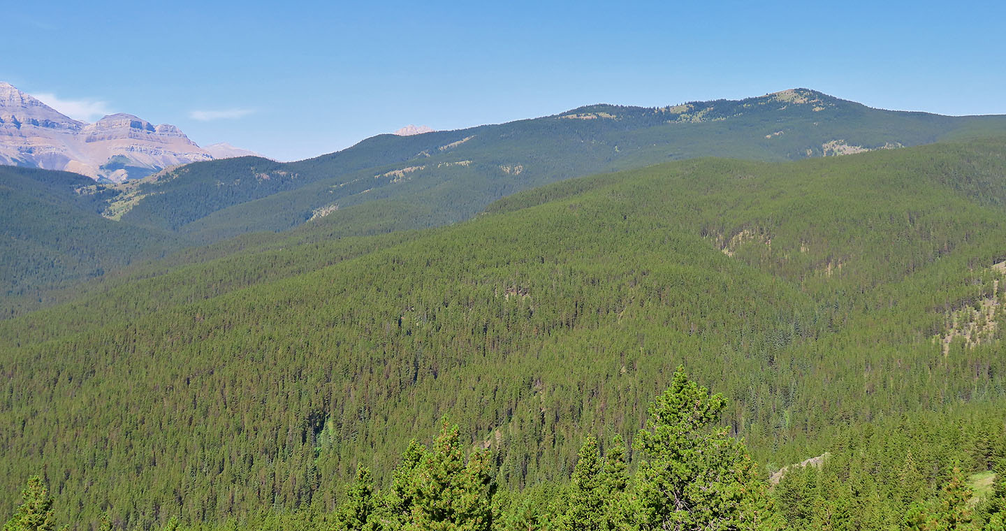
Surveyor's Ridge lies northwest. Alltrails calls the bump left of it, Prospector's Ridge.
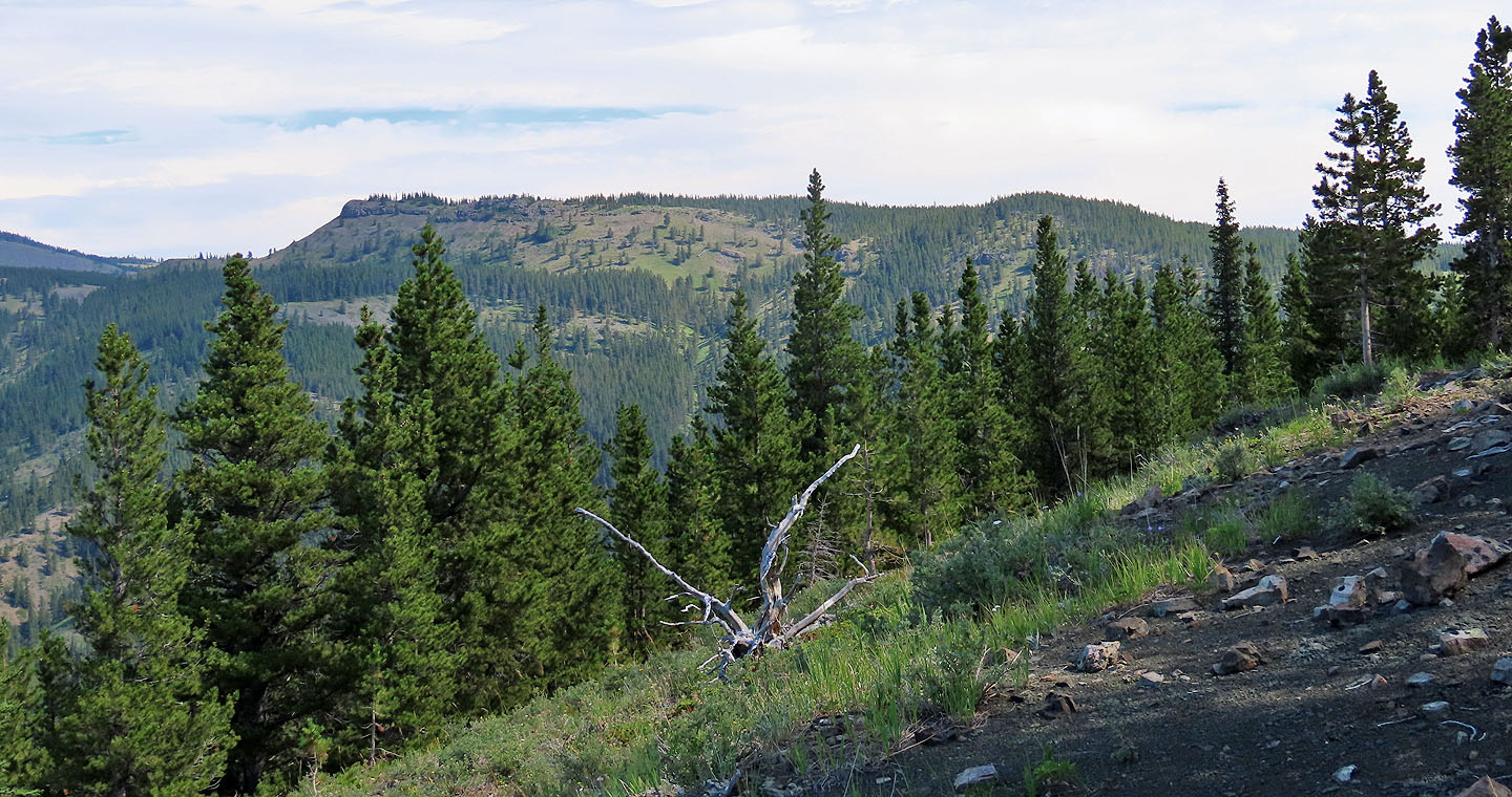
Missinglink Mountain is east
On our descent, we stuck to meadows
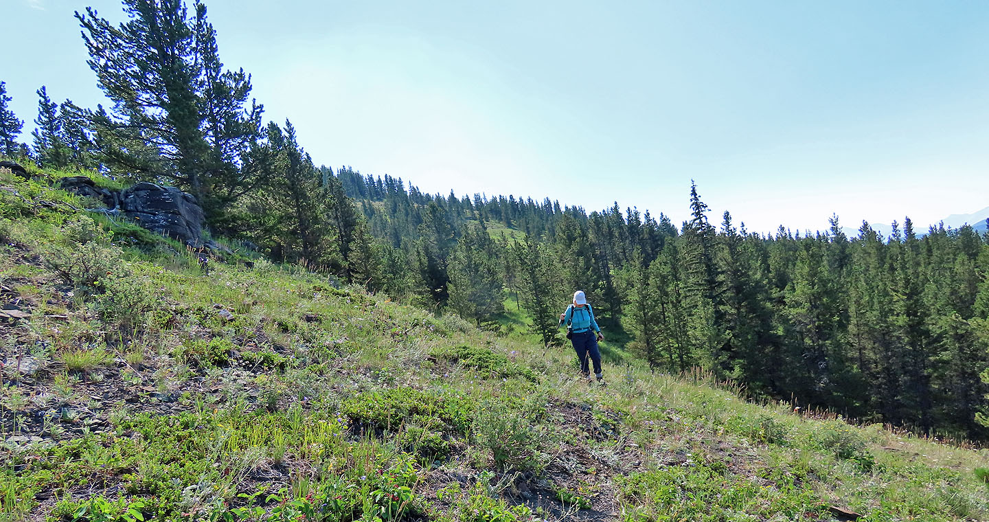 Looking back as we neared the end of the meadow
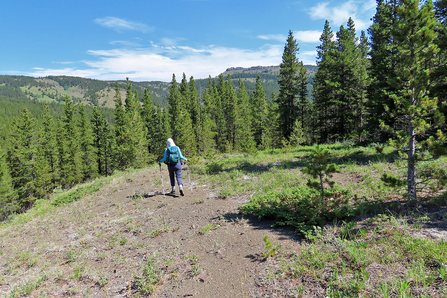
We expected to find a trail, but when we didn't, we bushwhacked to Volcano South Trail
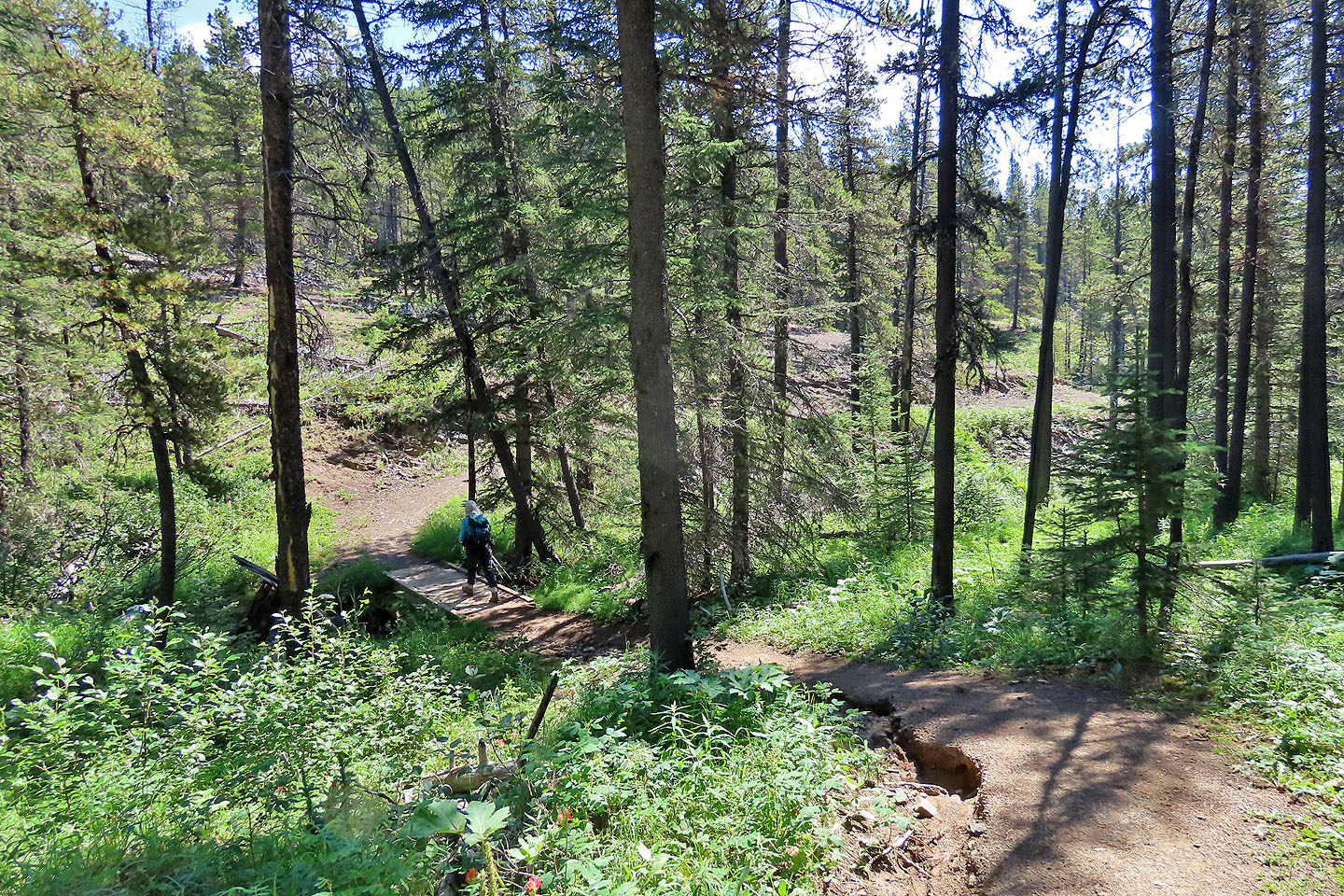
Hiking down Volcano South Trail
The next junction brought us to Gorge-Ware Connector
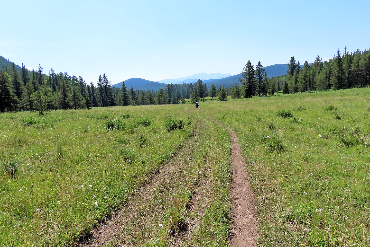
The trail crosses vast meadows
 82 J/10 Mount Rae