bobspirko.ca | Home | Canada Trips | US Trips | Hiking | Snowshoeing | MAP | About

Mount Ware
Kananaskis, Alberta
October 13, 2012
Ever since I gazed down on Mount Ware from Bluerock Mountain, I had always wanted to climb it. The mountain, although diminutive, appeared stately.
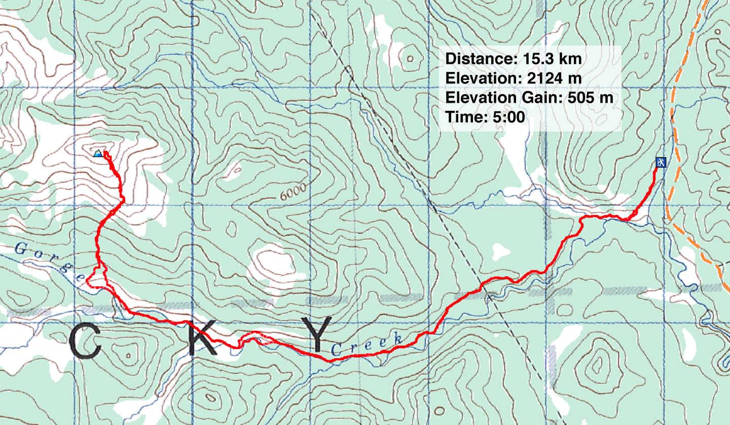
To climb it, I decided to take the second route in the Kananaskis Country Guide (I thought it might be shorter than the first route, but it turned out to be the same distance). I hiked up Gorge Creek Trail 6 km before breaking off to ascend a gully on the south slope of Ware.
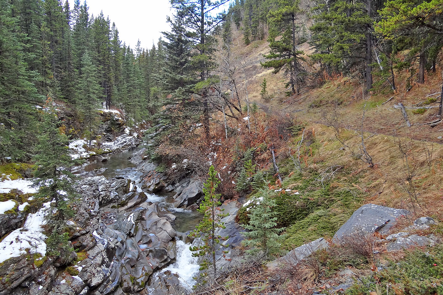
Knowing I would encounter several trail junctions and given the potential for taking a wrong turn, I tried to be wary on my way to Ware. Even so, I managed to take a wetter route than necessary. I kept left at the fork at 607138 (thinking the right fork went up to Little Ware) and ended up dropping down into the narrows. Here Gorge Creek winds through a canyon. I had to cross the creek at least five times before the trail rejoined. Fortunately the water was low enough that I could rock-hop across.
After a flat stretch along the valley bottom and two more creek crossings, the trail climbed to a fork at 593142. I took the right fork. This side trail led up a wooded slope only to disappear when it reached a pleasant gully with widely spaced trees (this trail would be easy to miss coming down). Travel up the gully was enjoyable, a relief from the muddy Gorge Creek Trail. As I climbed, the trees fell away to reveal the east ridge of Mount Ware. After topping the ridge, the summit lay a short distance away.
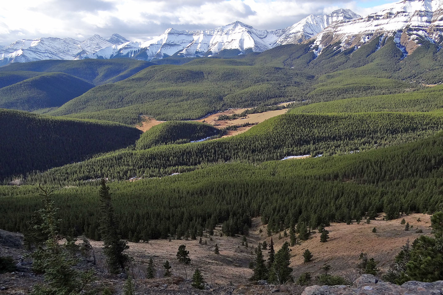
Ware was crowned with a seven-foot cairn, an abomination that I had to climb halfway up to take a full panorama (I'm sure a three-foot cairn would serve just as well). While Ware enjoyed dry slopes, the mountains west were under snow, magnifying their magnificence.
Retracing my steps back down the mountain, I found a trail on the west side of the ascent gully (I hiked up the east side) and I followed it down to Gorge Creek Trail (59144). Curiously, this side trail ended abruptly at the edge of a meadow about 100 m before Gorge Creek Trail. There was no cairn, flagging or path to it, so it could be easily overlooked, as if the trail was only used for descending. I followed Gorge Creek Trail back, this time taking the detour that avoids the narrows.
As a short trip, I enjoyed hiking up Mount Ware. I'd like to do it again someday, although I would use the first route and take in Little Ware.
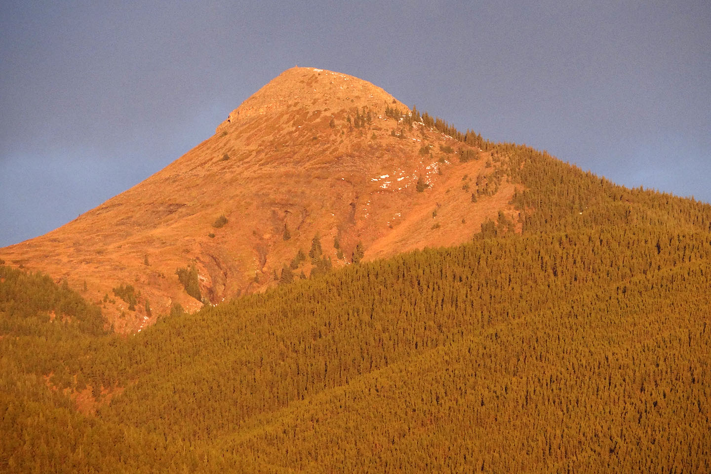
Mount Ware appears red at sunrise in this close-up taken from the road.
The open ascent gully I used is to the right of the summit.
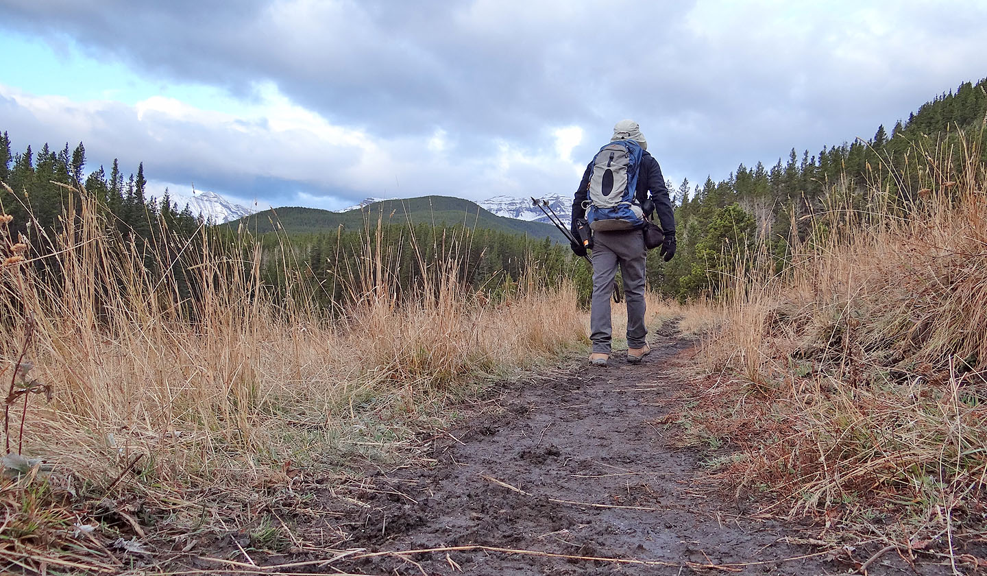
On the muddy trail near the start
After crossing the bridge, I was so focused on Mount Ware ahead I
started walking past the turn-off in the trees on the left (mouse over)
Past the trees, I could see Missinglink Mountain behind me (mouse over)
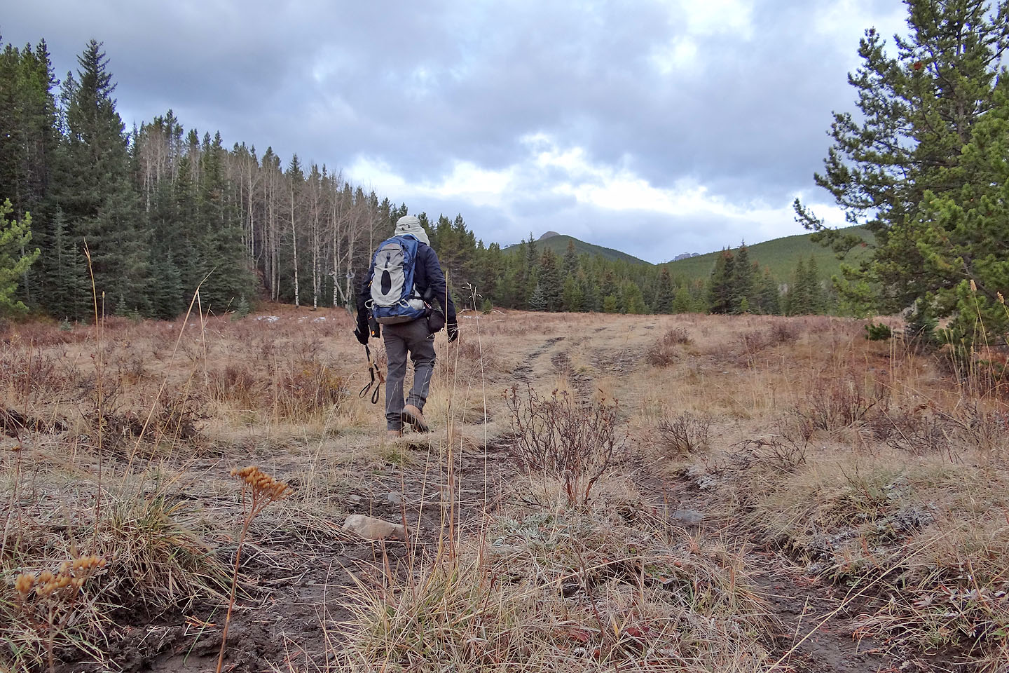
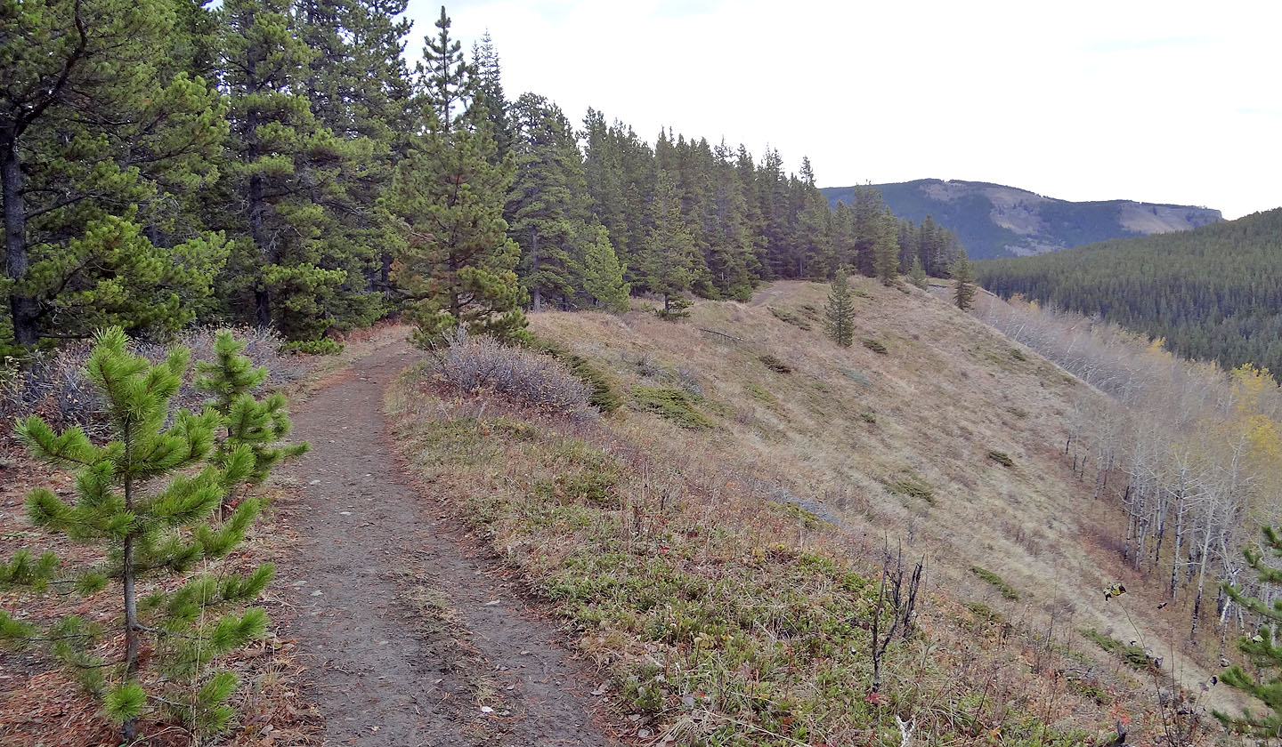
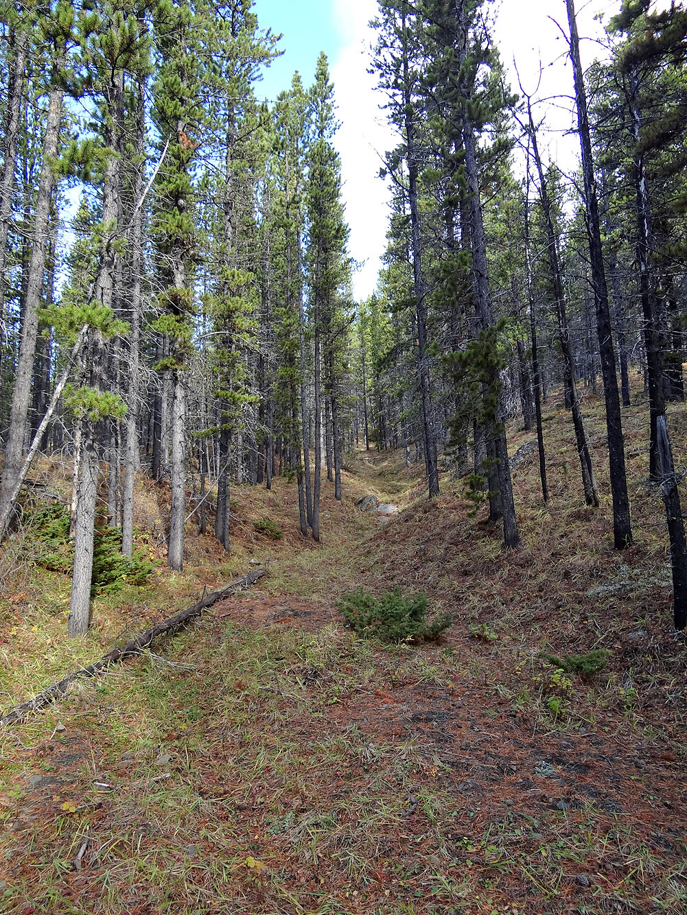
The trail mostly stays well above Gorge Creek
One of the most scenic spots along the trail
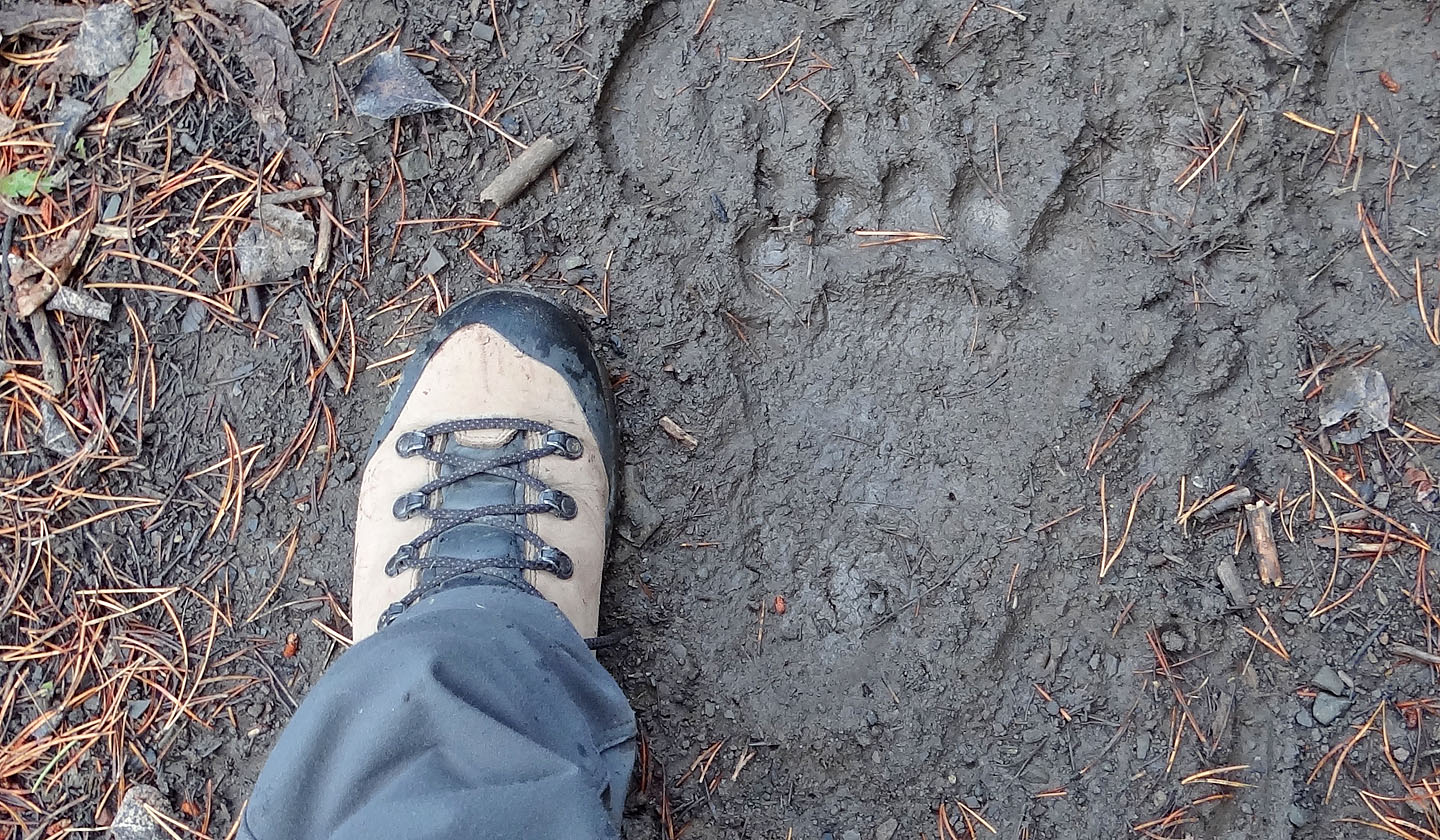
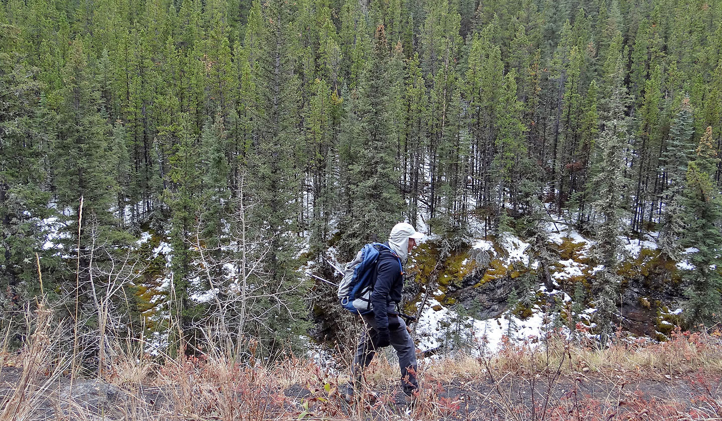
I wondered if I might find unwanted company on the trail ahead
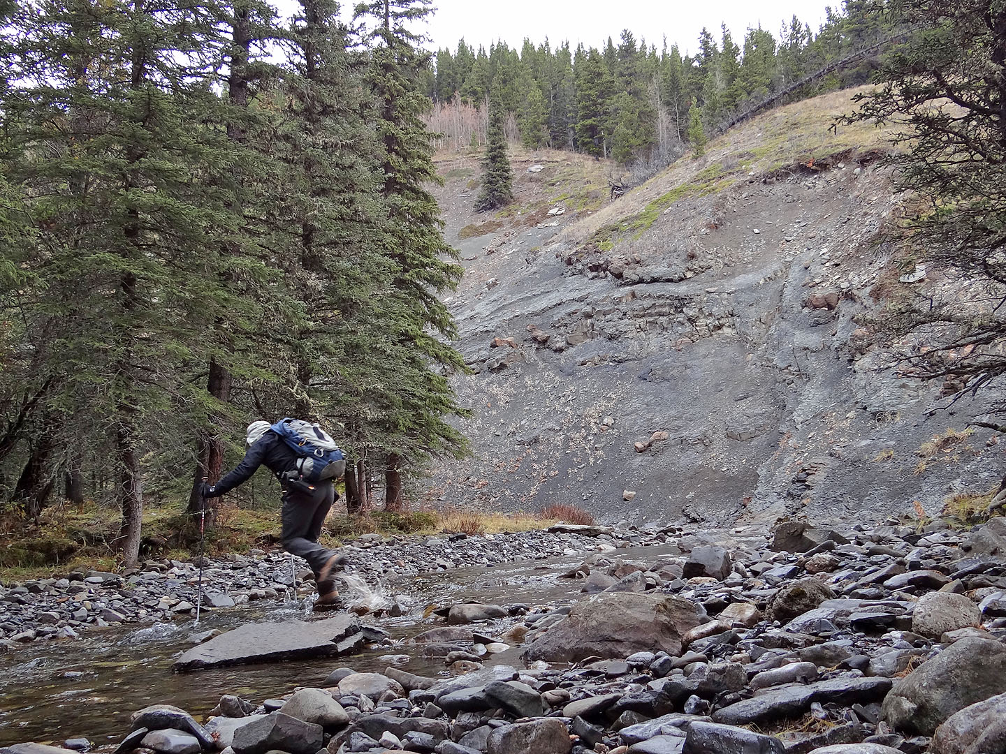
The first of several creek crossings in the narrows, after I mistakenly took the left fork after the scenic spot
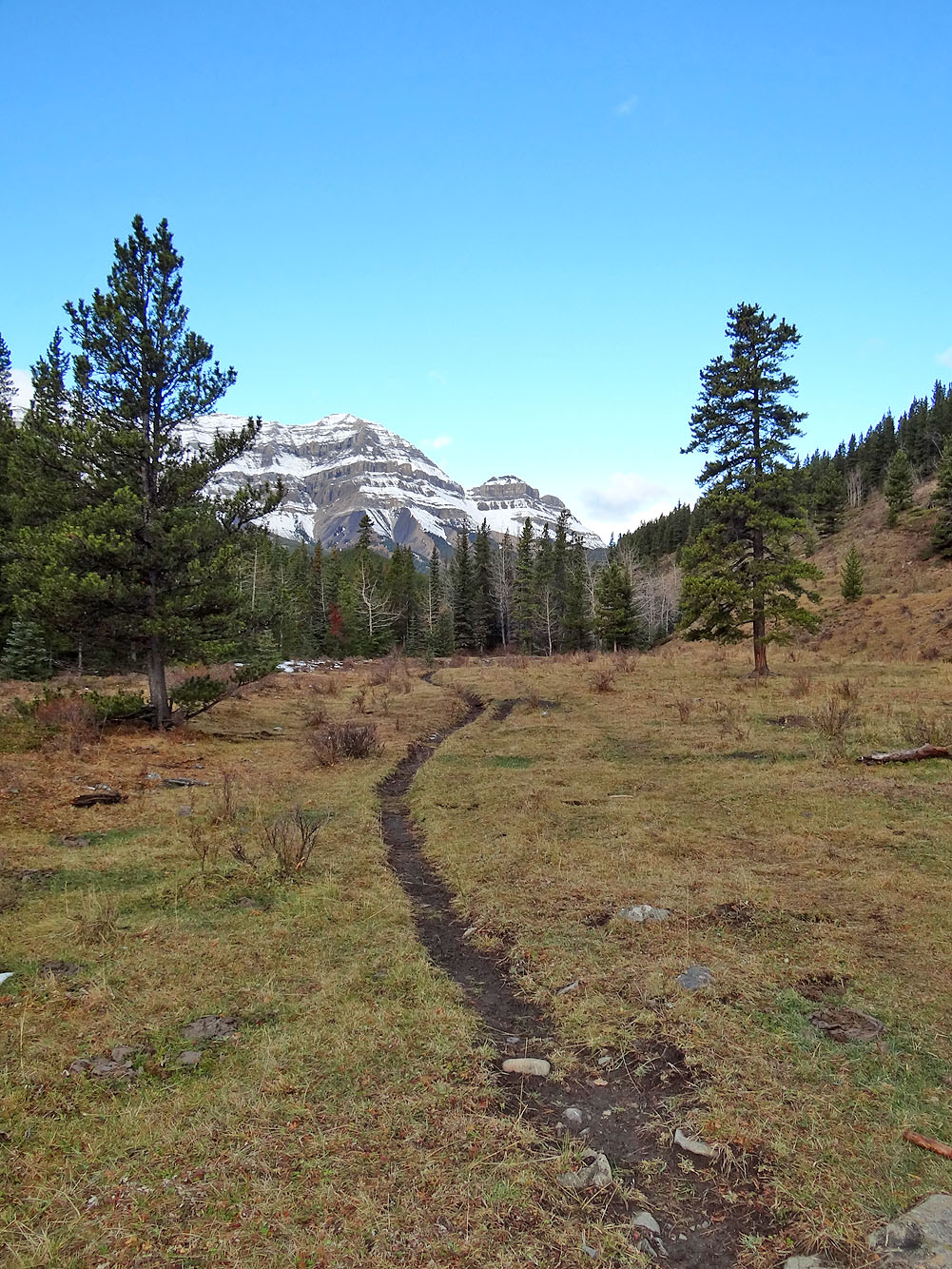
The stretch of trail leading to the base of Mount Ware
Finally Mount Ware appears on my right
The ascent gully
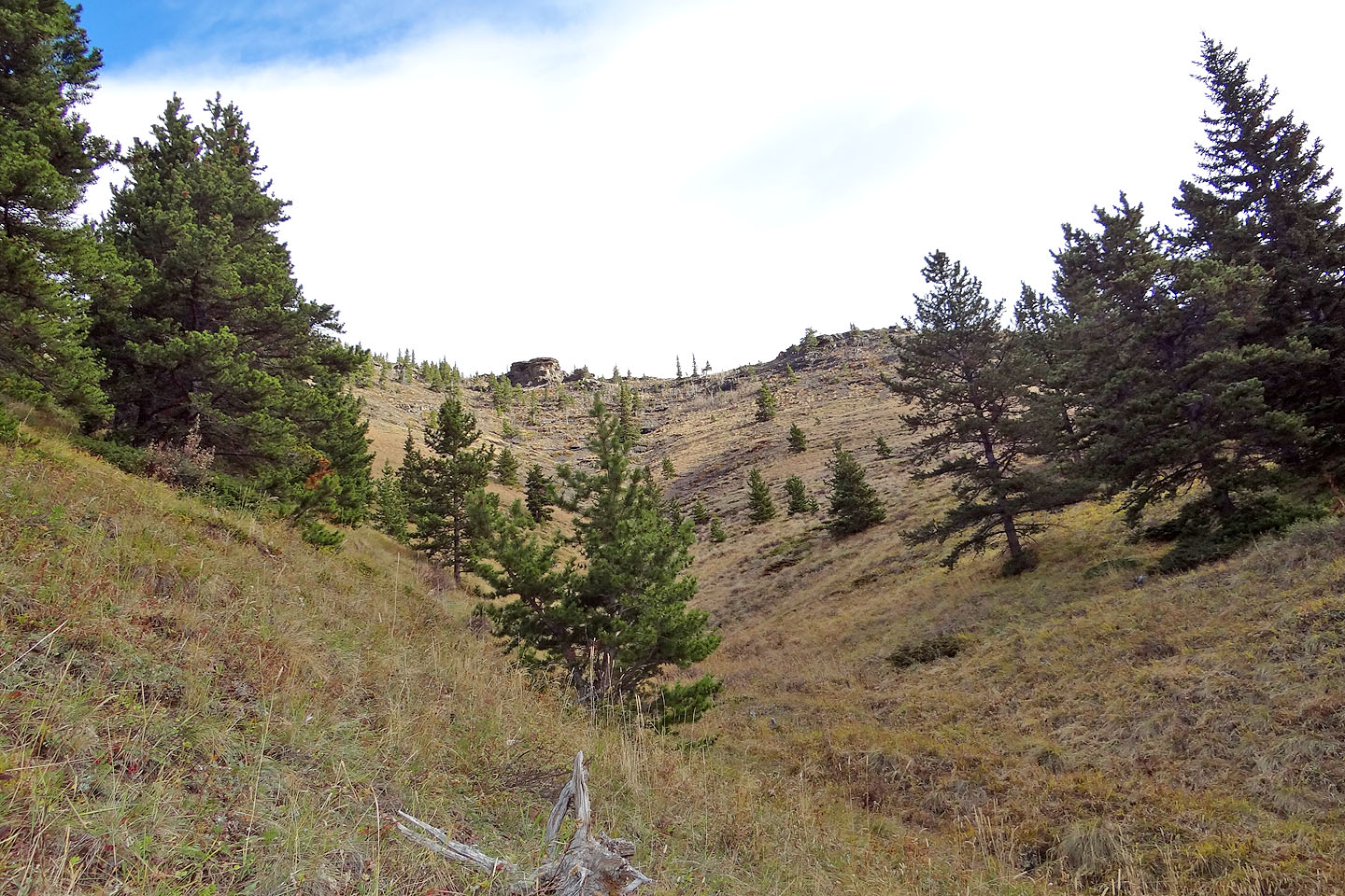
The gully led to the south slopes of Mount Ware
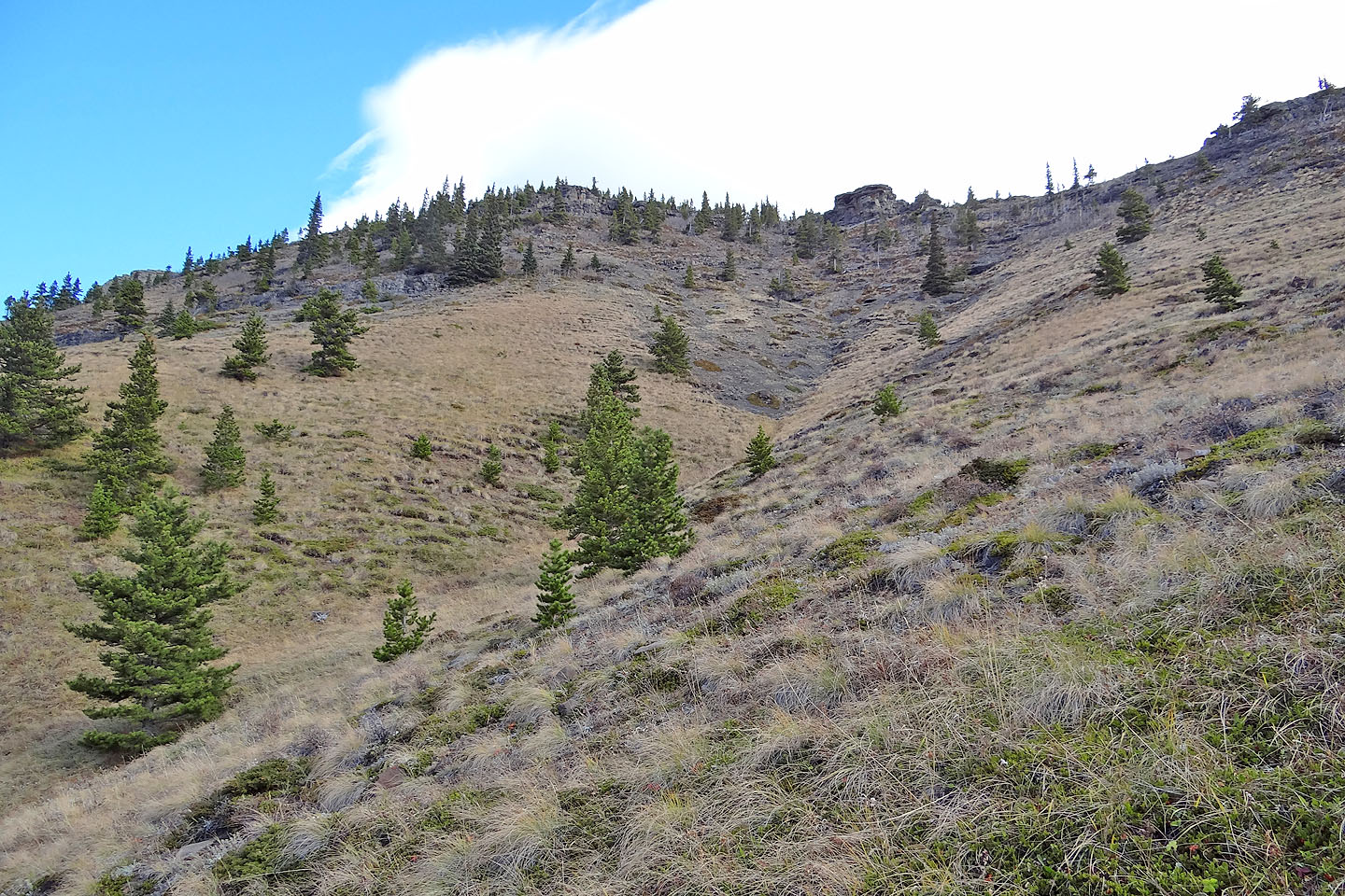
Partway up, I could barely make out the summit on the far left
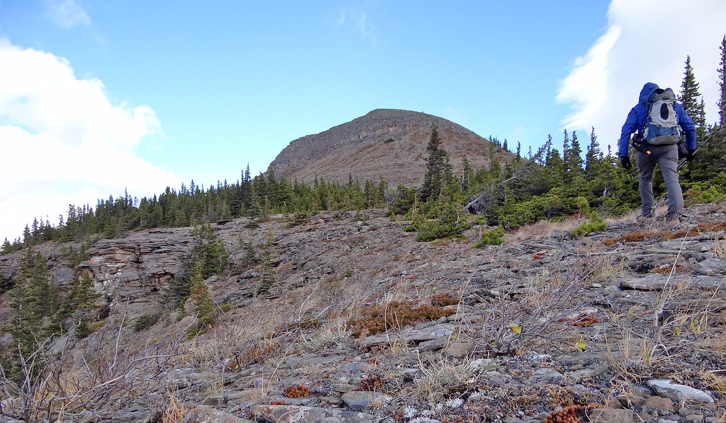
After gaining the ridge I headed to the summit
Looking down at the ascent gully
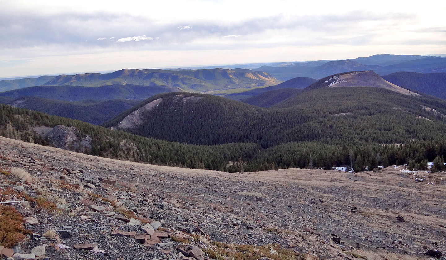
Little Ware is on the right (mouse over)
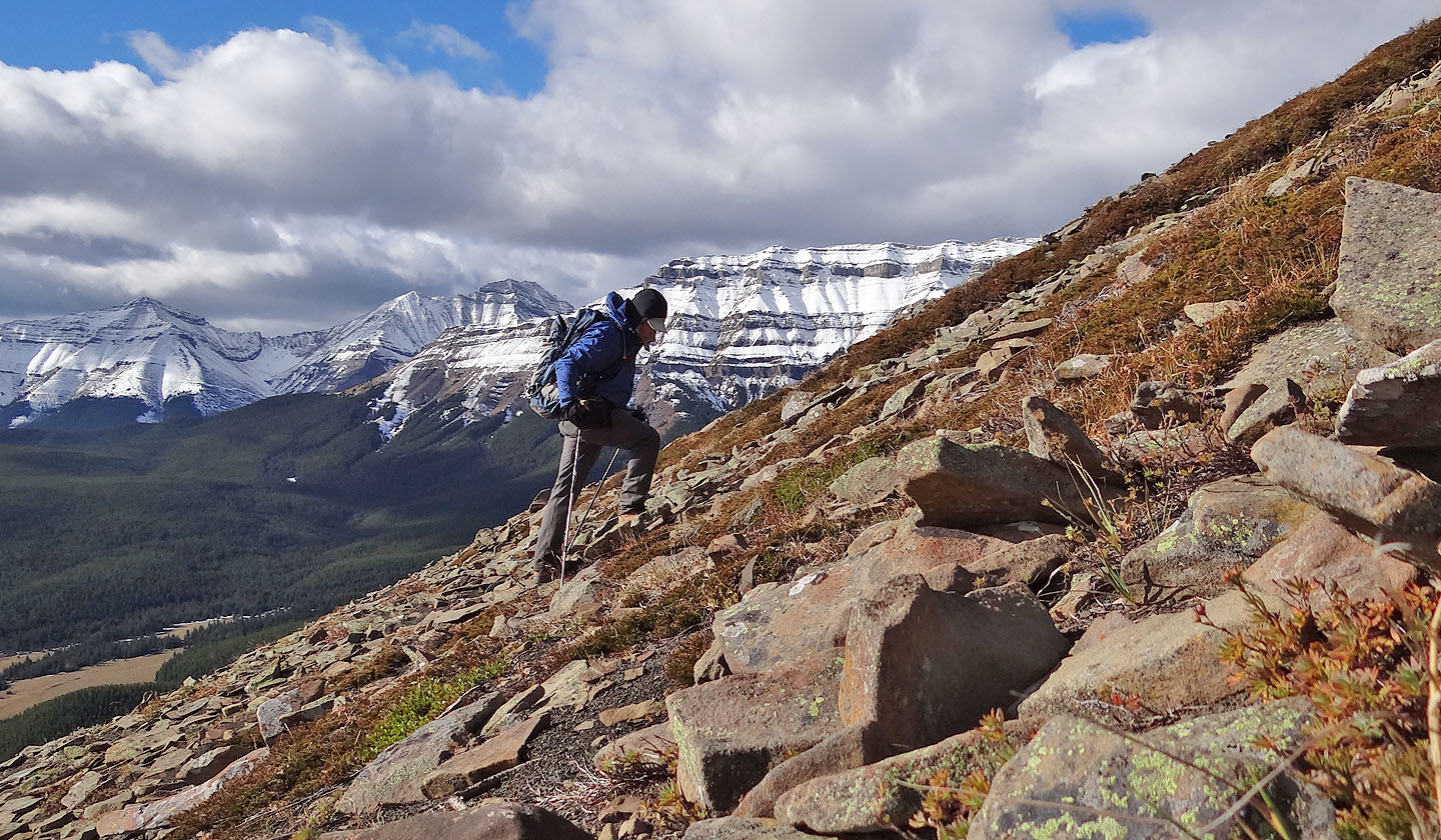
On my way up
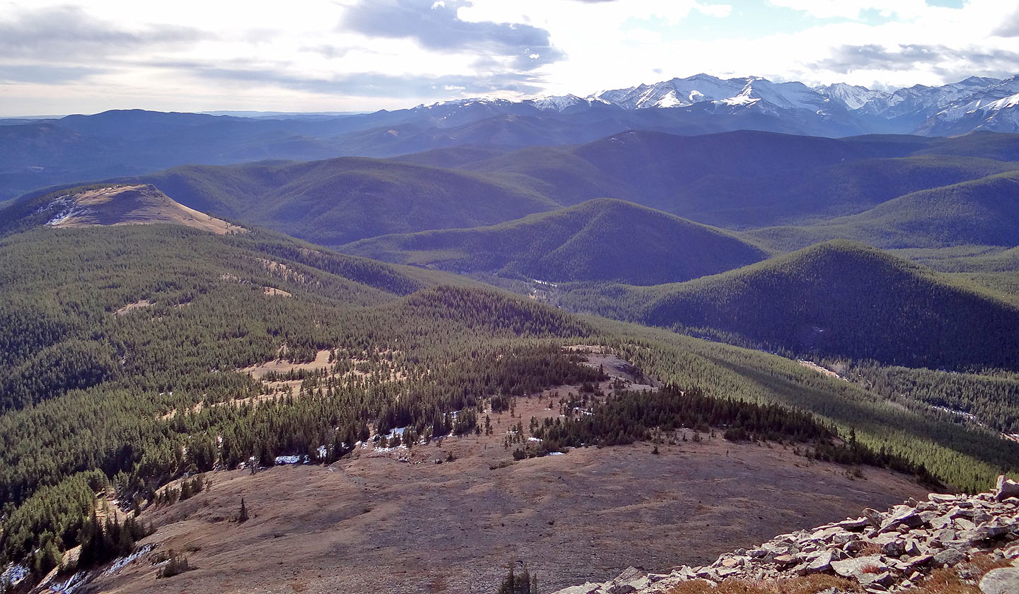
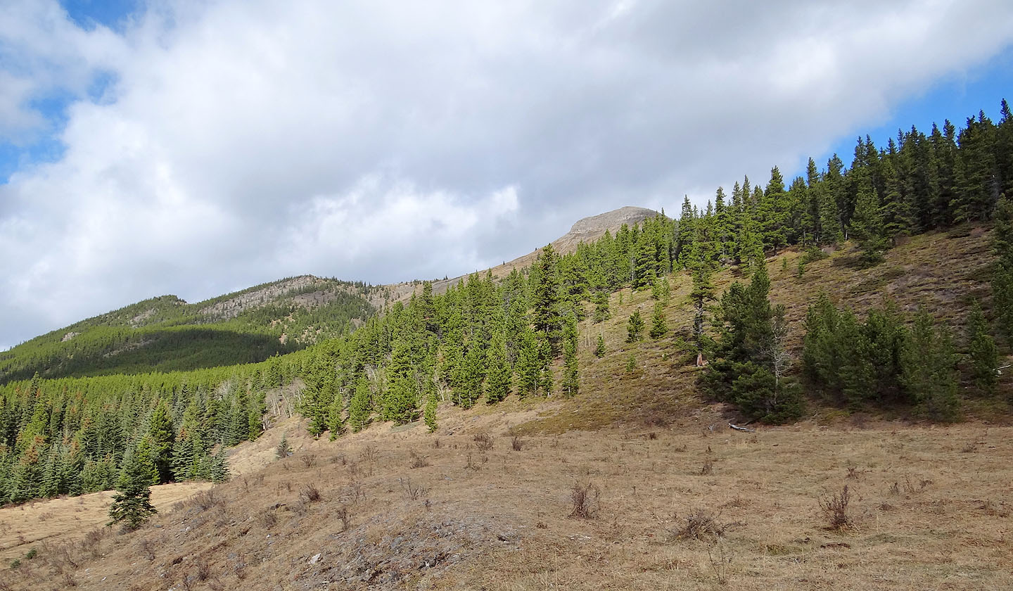
Looking back, Junction Mountain on the skyline (mouse over)
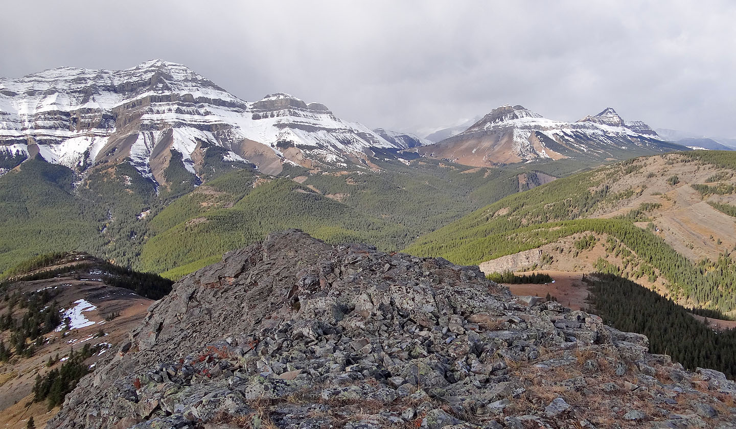
Bluerock Mountain, Mount Rose and Threepoint Mountain
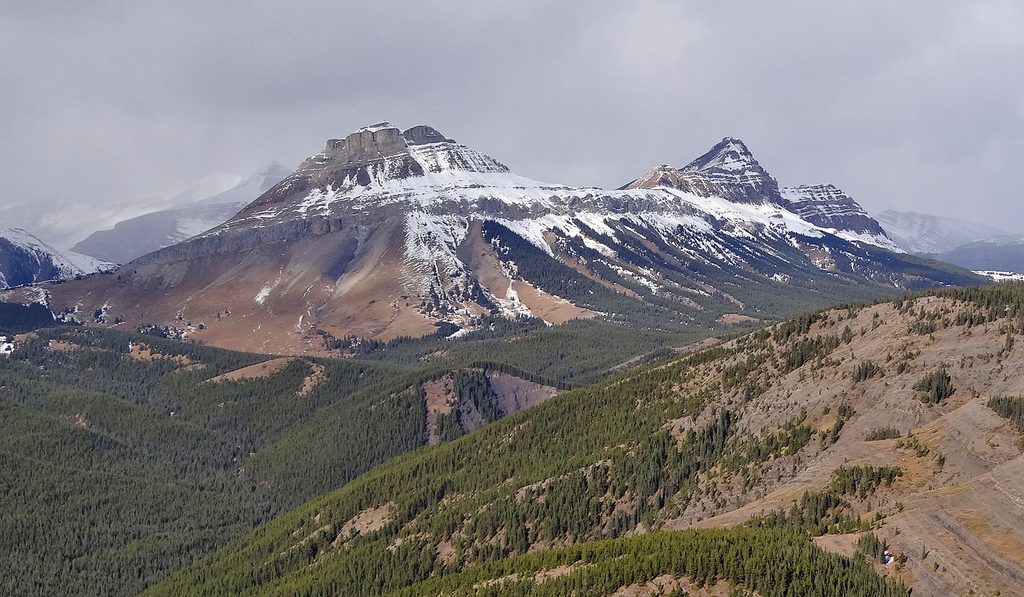
Closer look at Rose and Threepoint
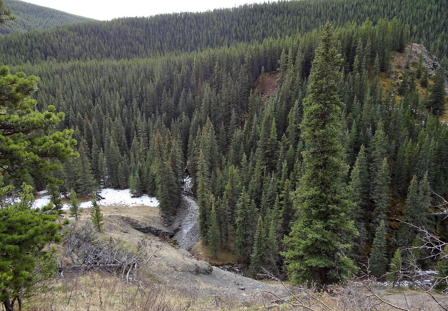
On the way back, I took the detour above the narrows. Below is the creek I crossed earlier.
82 J/10 Mount Rae