bobspirko.ca | Home | Canada Trips | US Trips | Hiking | Snowshoeing | MAP | About
Thorne Hill
Kananaskis, Alberta
June 23, 2026
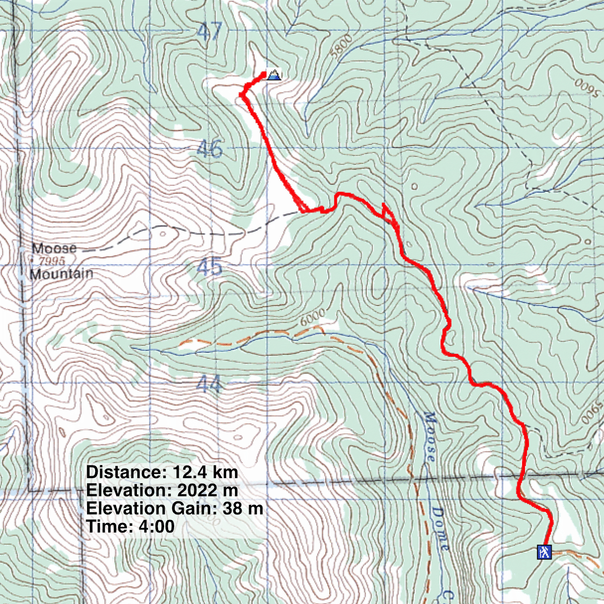
Distance: 12.4 km (7.7 mi)
Cumulative Elevation Gain: 500 m (1640 ft)
Hike up Moose Mountain Trail, turn right at the treeline, and you’ll find Thorne Hill at the end of a long ridge. Reaching the low hill involves plenty of climbing, but the elevation losses nearly wipe out the gains, leaving the summit just 38 m higher than the trailhead. Thorne Hill appears on digital maps.
Brian and I parked at the trailhead and started north down the broad trail. Soon the trail begins dropping down. Eventually, it bottoms out, climbs, and turns west toward Moose Mountain. At the treeline, we left the trail and started up the long ridge. The broad, open ridge was a pleasant hike, and we soon reached the ridgetop. But Thorne Hill, which lies below, didn’t come into view until we continued well down the ridge. A saddle connects Thorne to the end of the ridge. We dropped down to the forested saddle and headed to the partially open summit. A scattering of trees obscured views, but we could see Moose Mountain clearly.
After lingering on top, we retraced our steps back over the long ridge and returned to the trail. It swings by a knoll with a meadow, and we decided to check it out. A few minutes of climbing brought us to the top. Trees covered half the top, but there were good views west and south. Also on top was a 1985 survey marker. After relaxing for a time, we returned to the trail and followed it back to the trailhead.
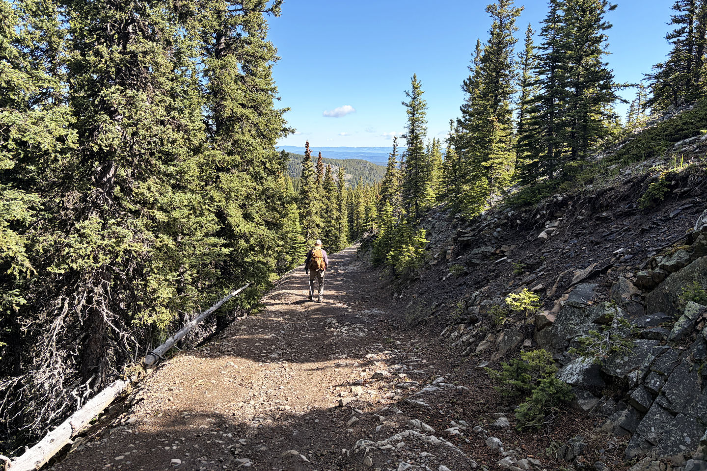 Soon after starting, the trail begins dropping down, losing 90 m
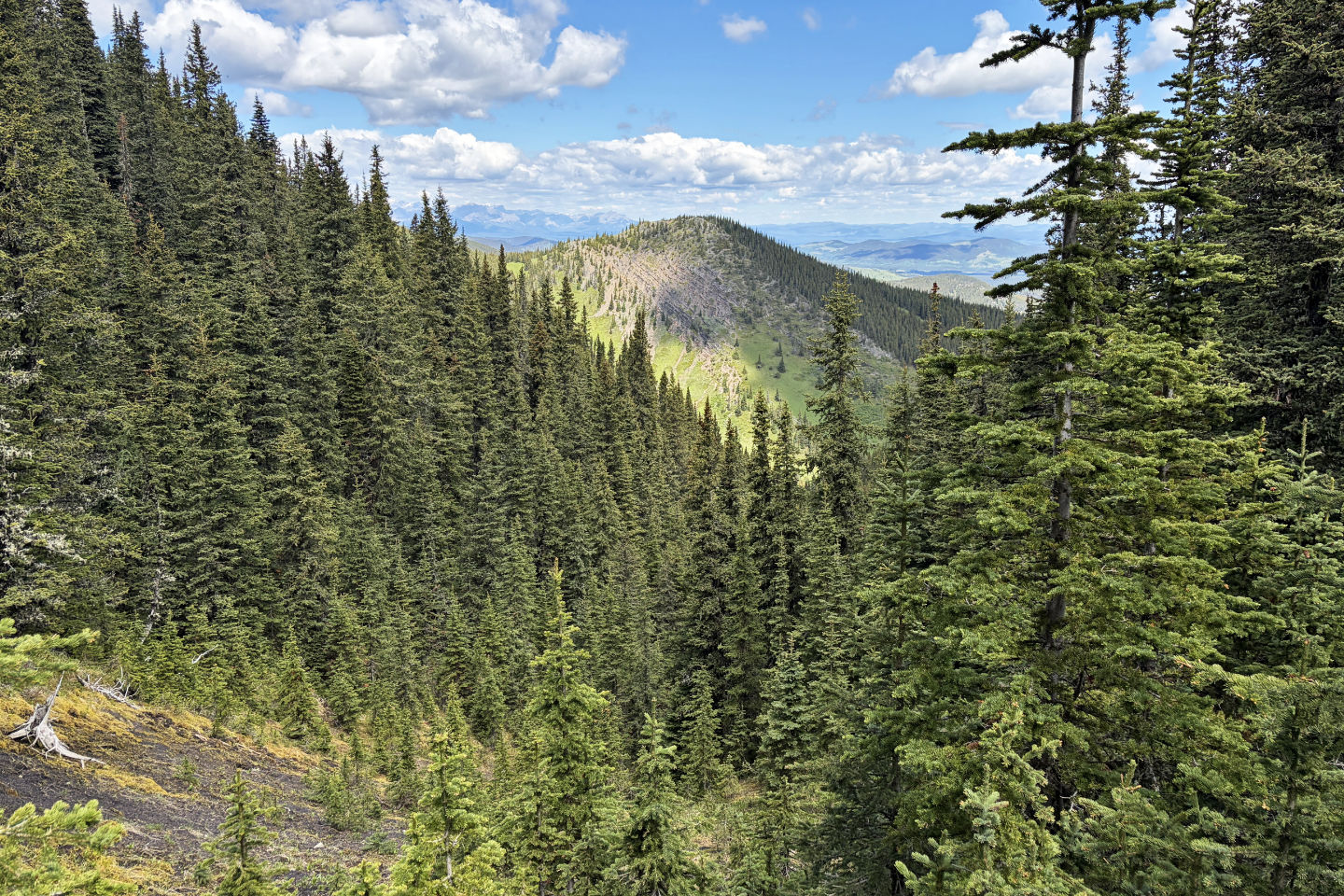
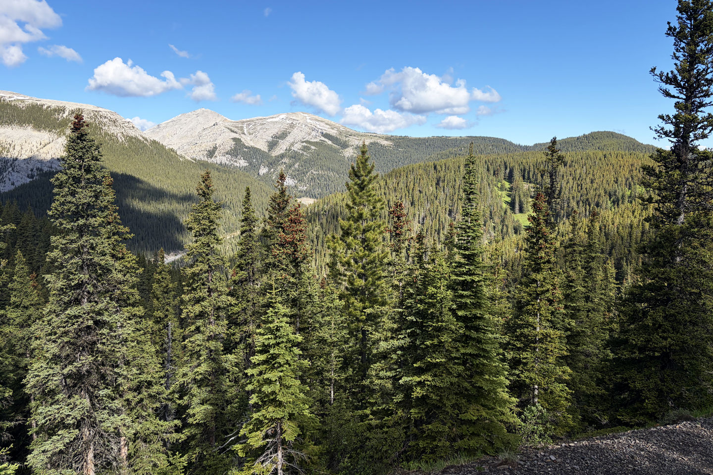 Moose Mountain appears centre left. Thorne Hill is hidden behind the green bump right.
 Above Brian is the knoll we climbed on our way back
 We passed a view of Thorne Hill
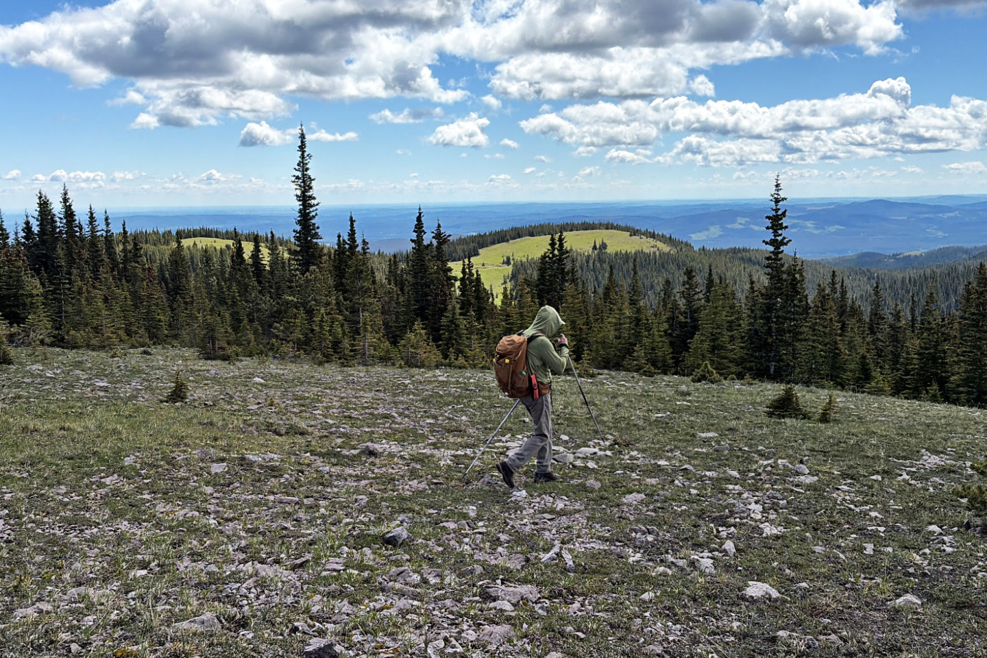
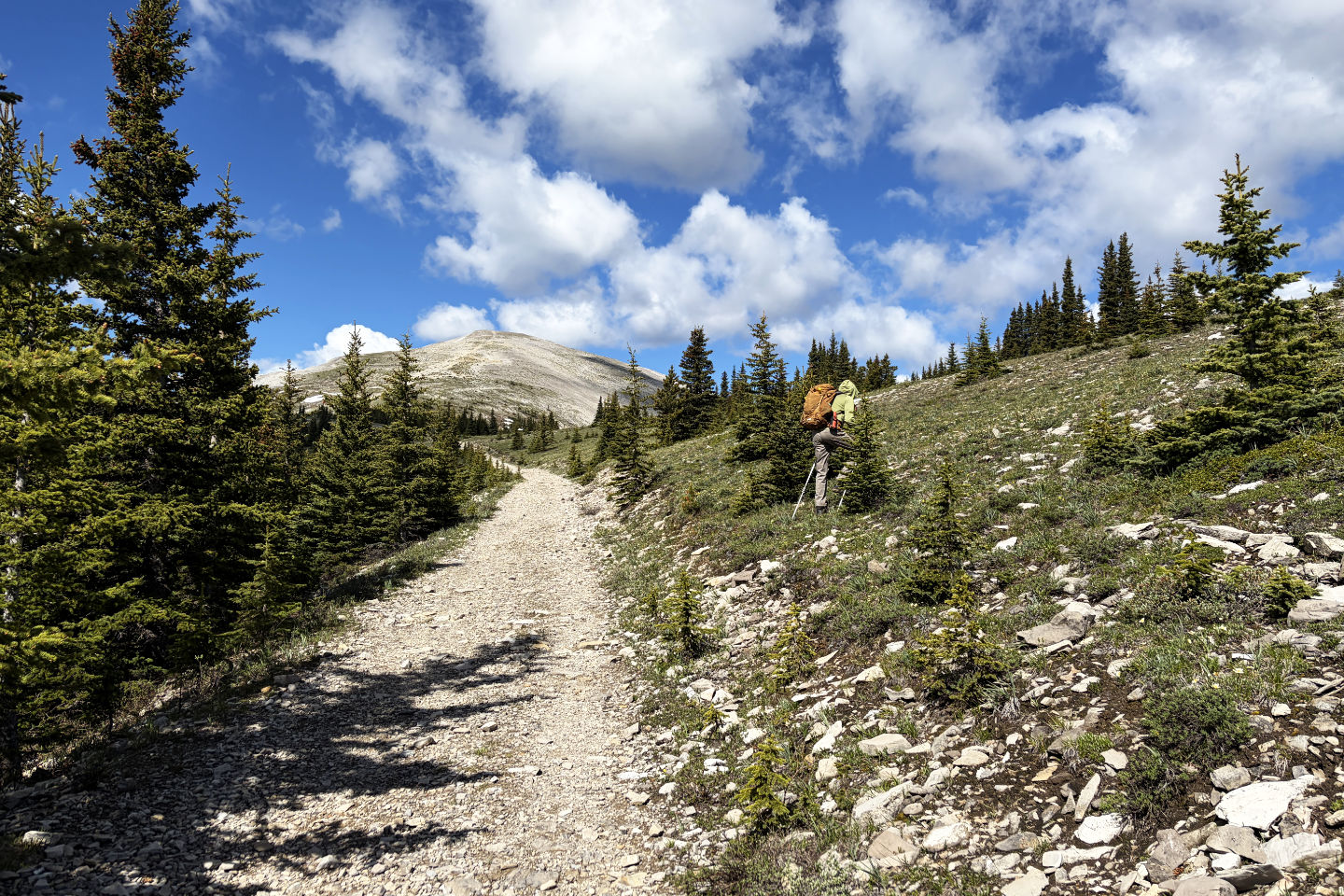 We left the trail and started up the long ridge
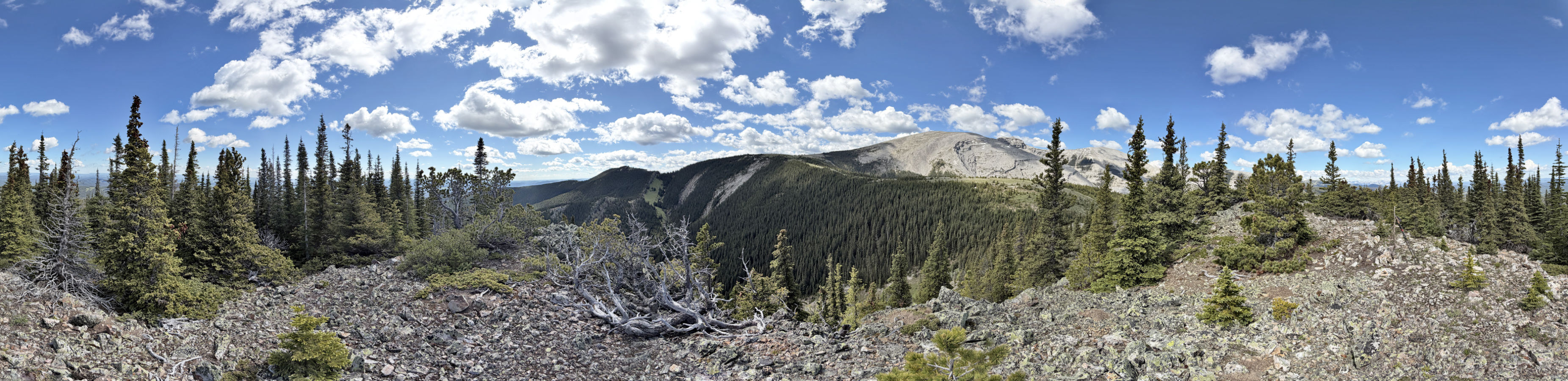
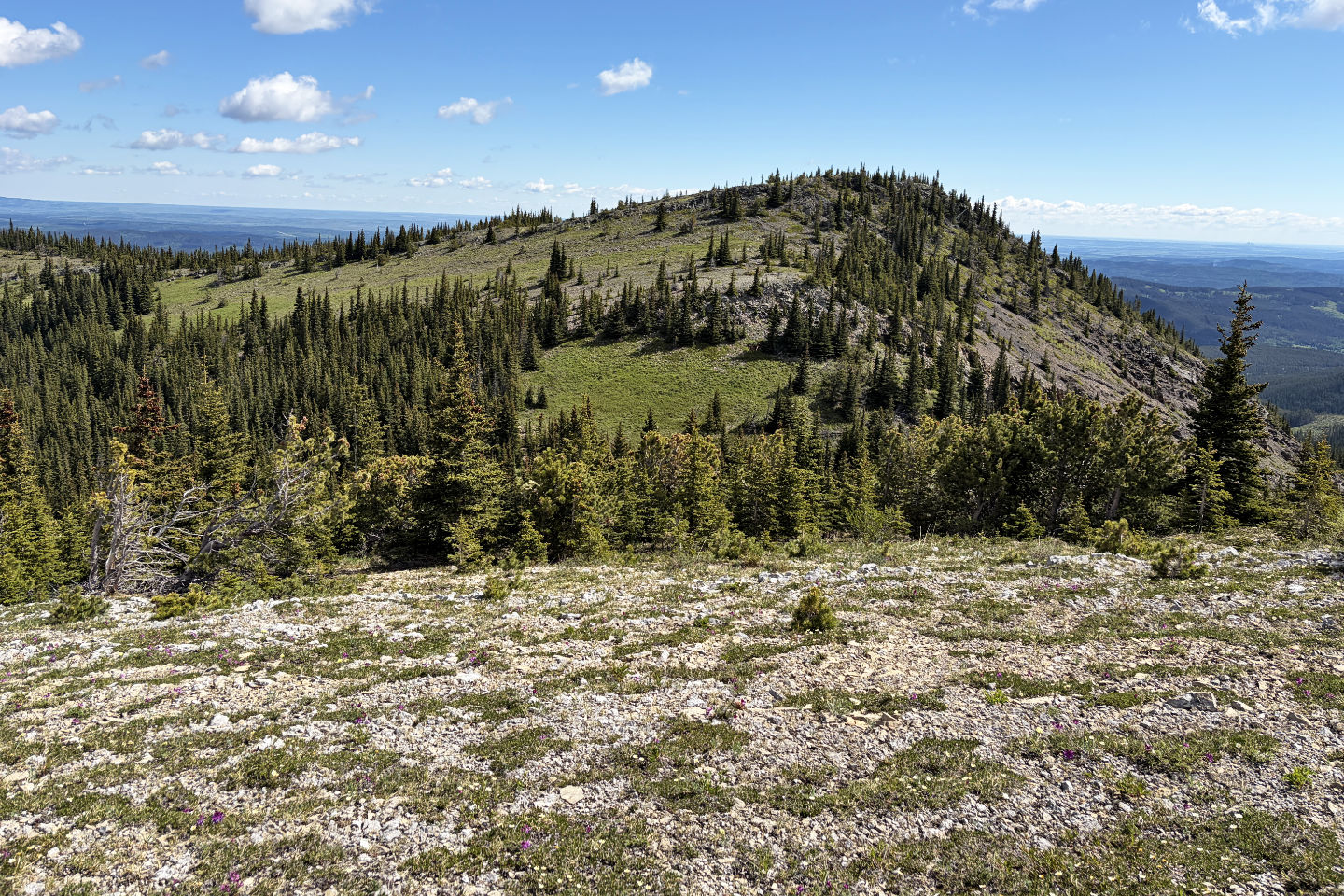
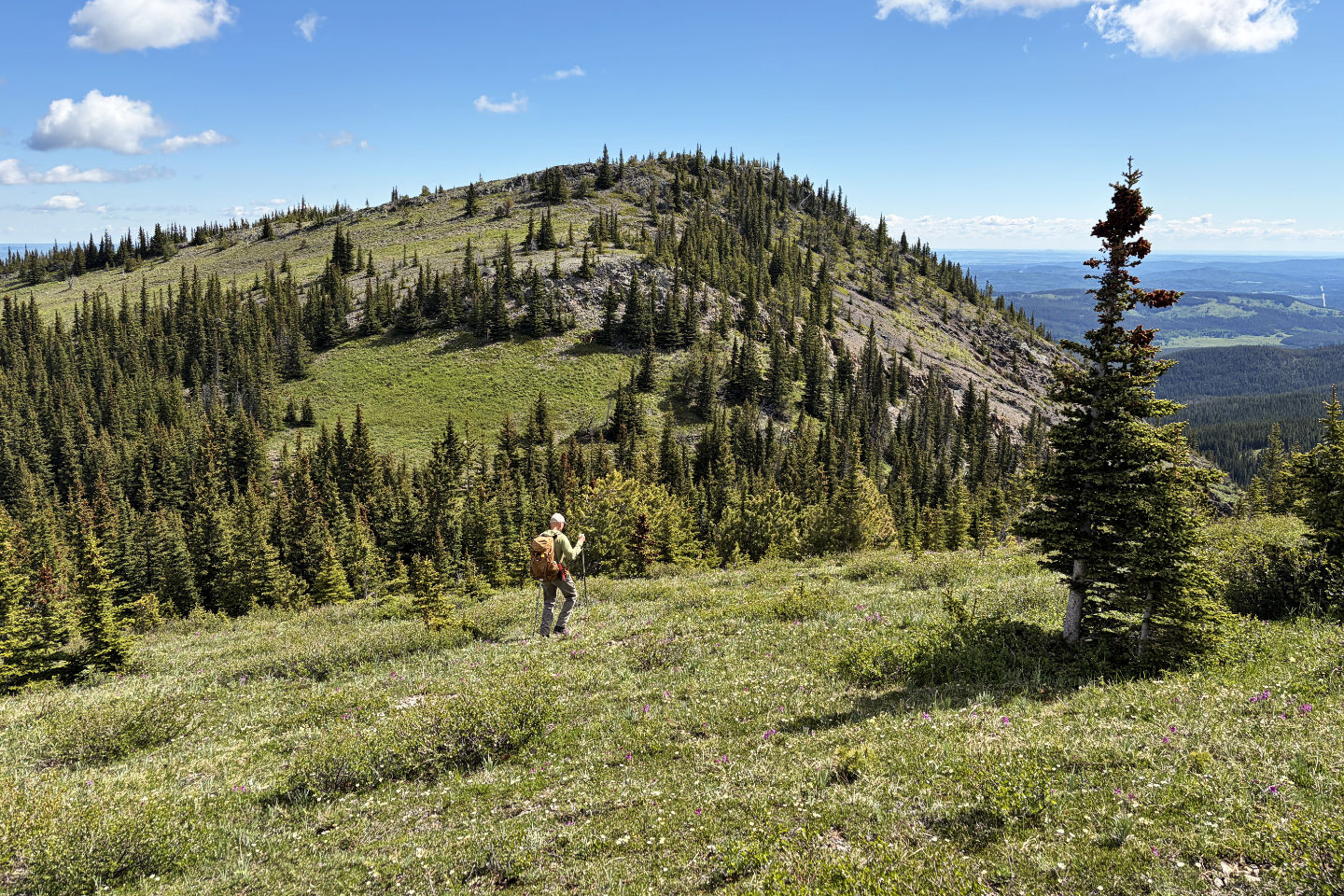
The ridge leads to Thorne Hill
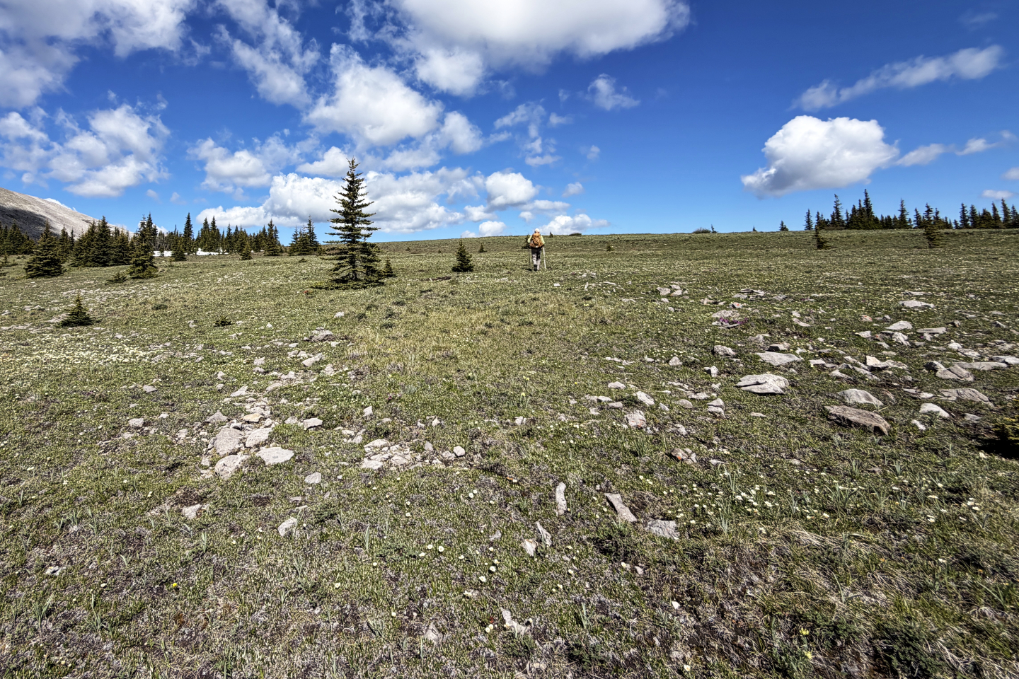
 Even after reaching the ridgetop, Thorne can't be seen
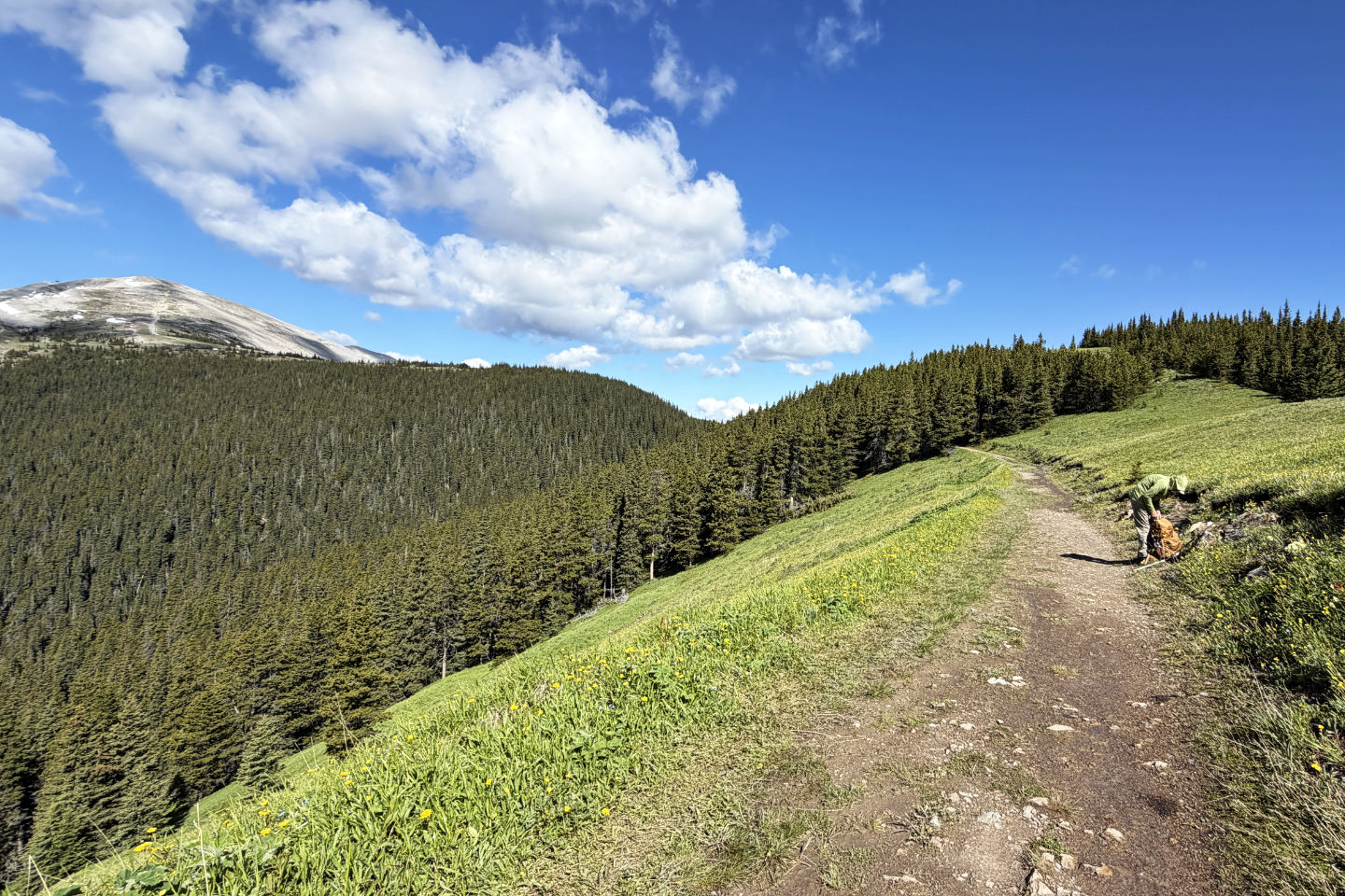
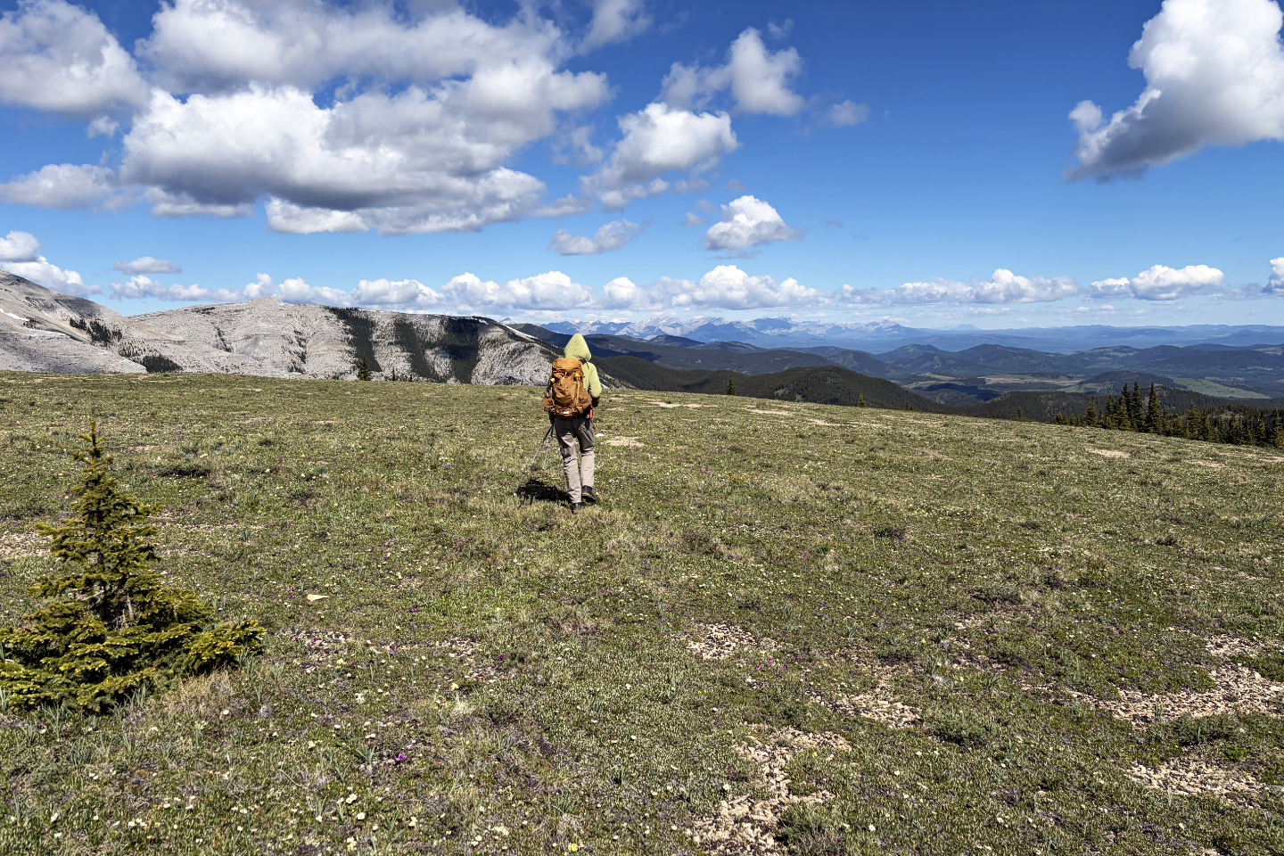
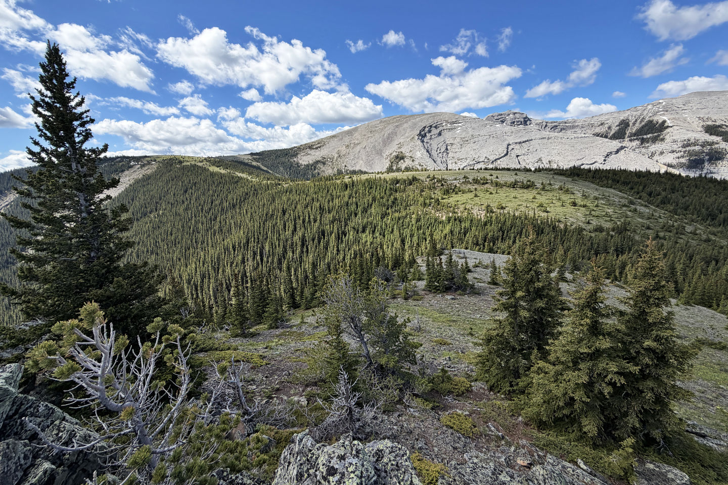
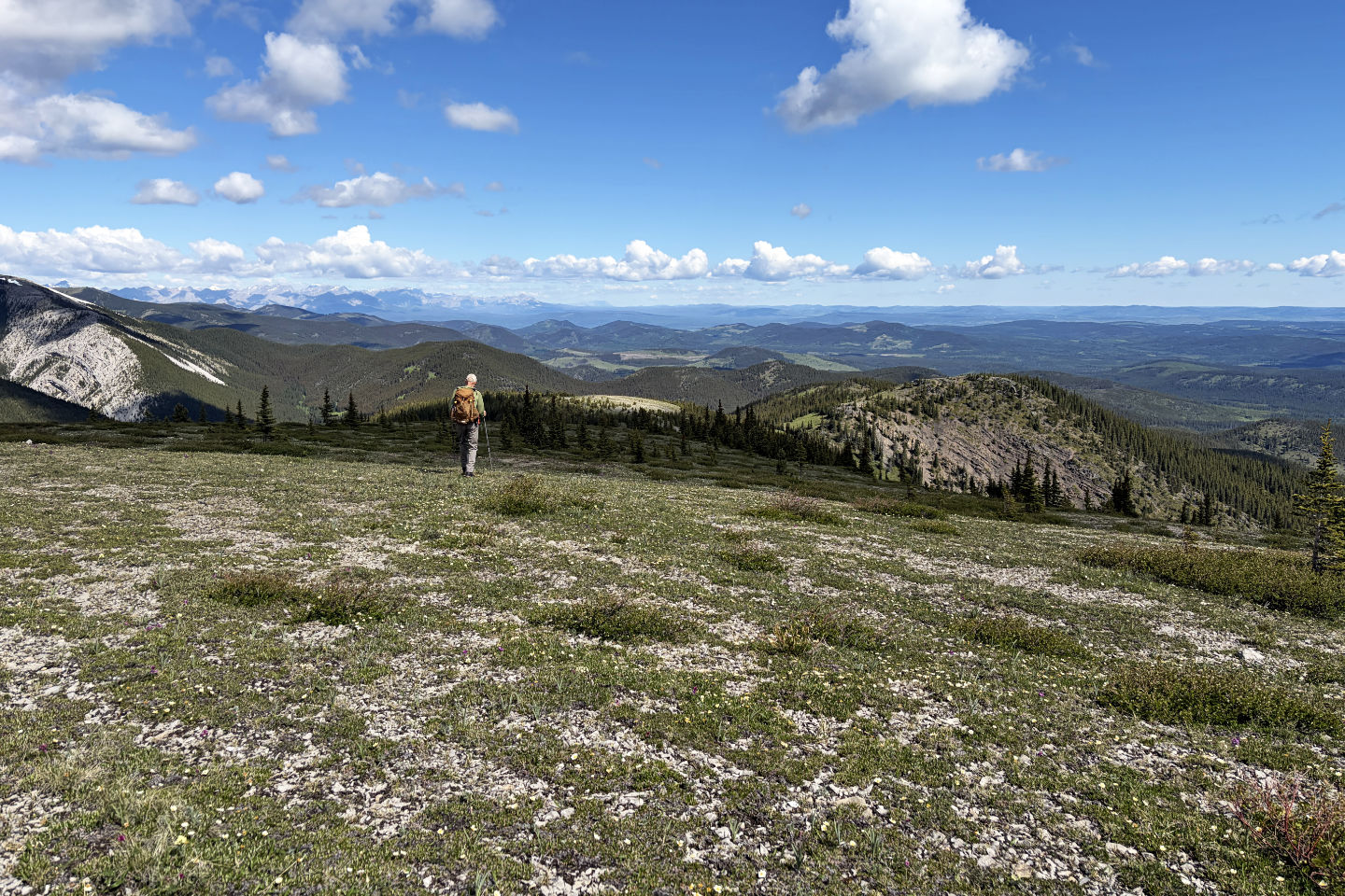 Thorne finally appeared on the right. We first followed the ridge to the sunlit meadow in the centre.
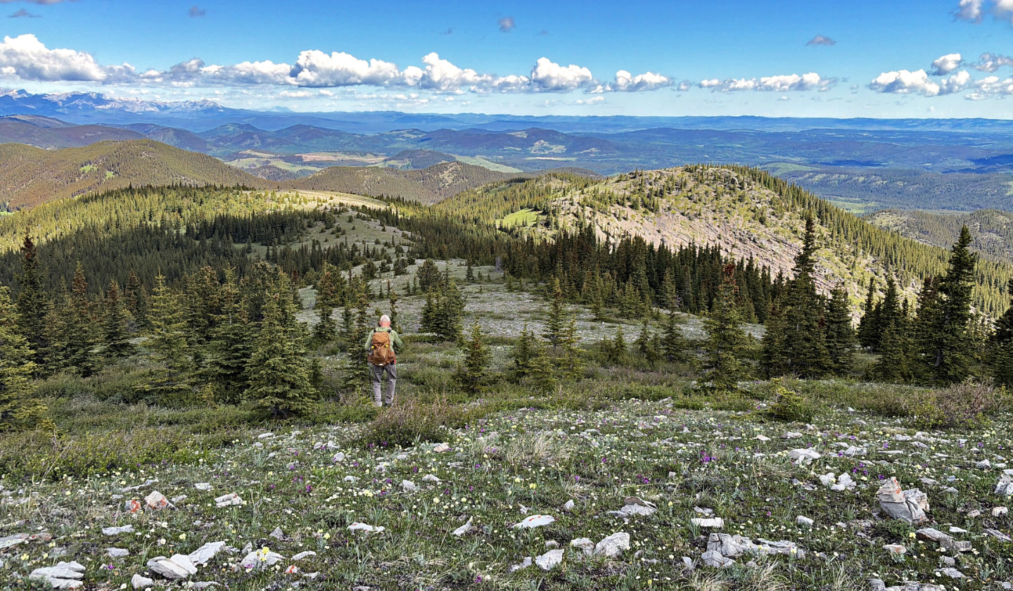 We continued down the ridge
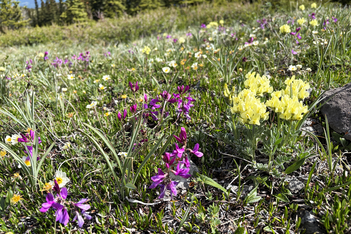 A variety of wildflowers blanketed the meadow
 From the end of the ridge, we dropped down to the saddle and started up Thorne Hill
 Dense trees filled the saddle. We bushwhacked through them but found an animal trail on the way back.
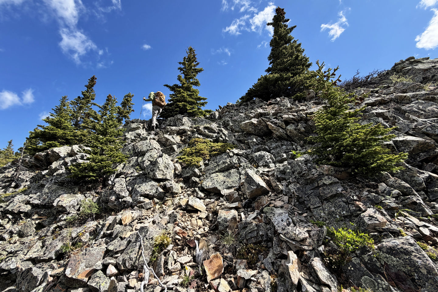 The steep, rocky section before the summit can be mitigated by going left
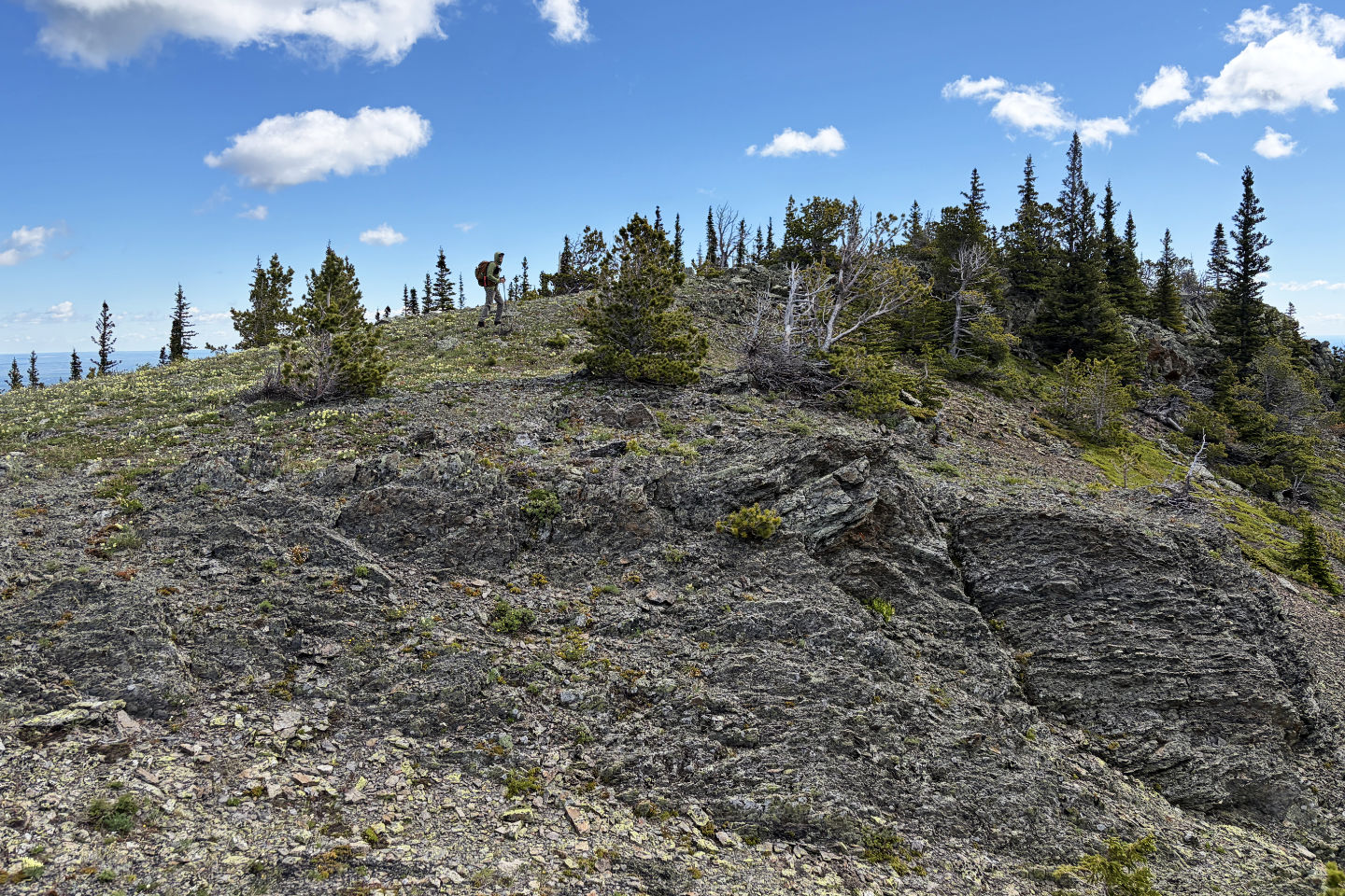 Taking the last steps to the summit
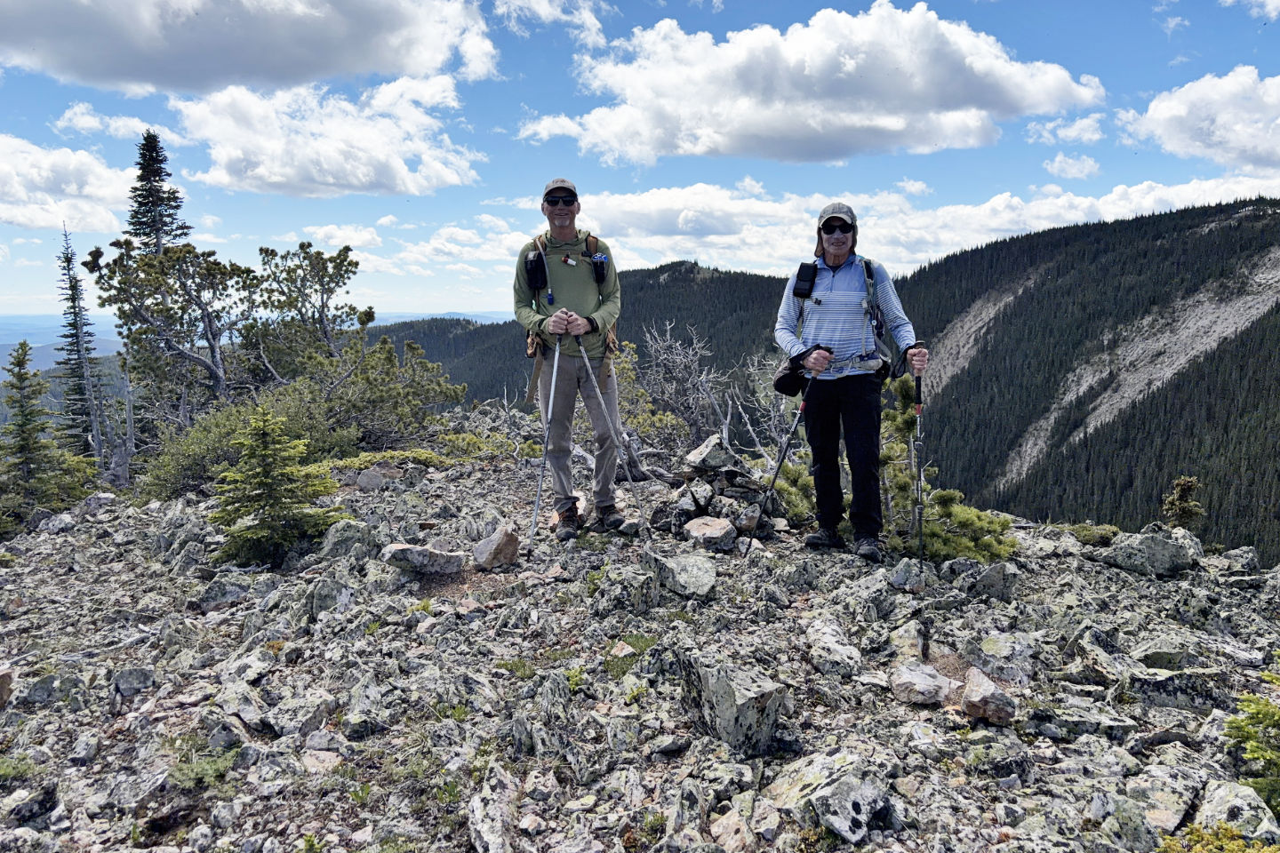 Standing next to one of two summit cairns
 We headed back to the long ridge
 After getting back on the trail, we'll followed it to base of the knoll left on the left
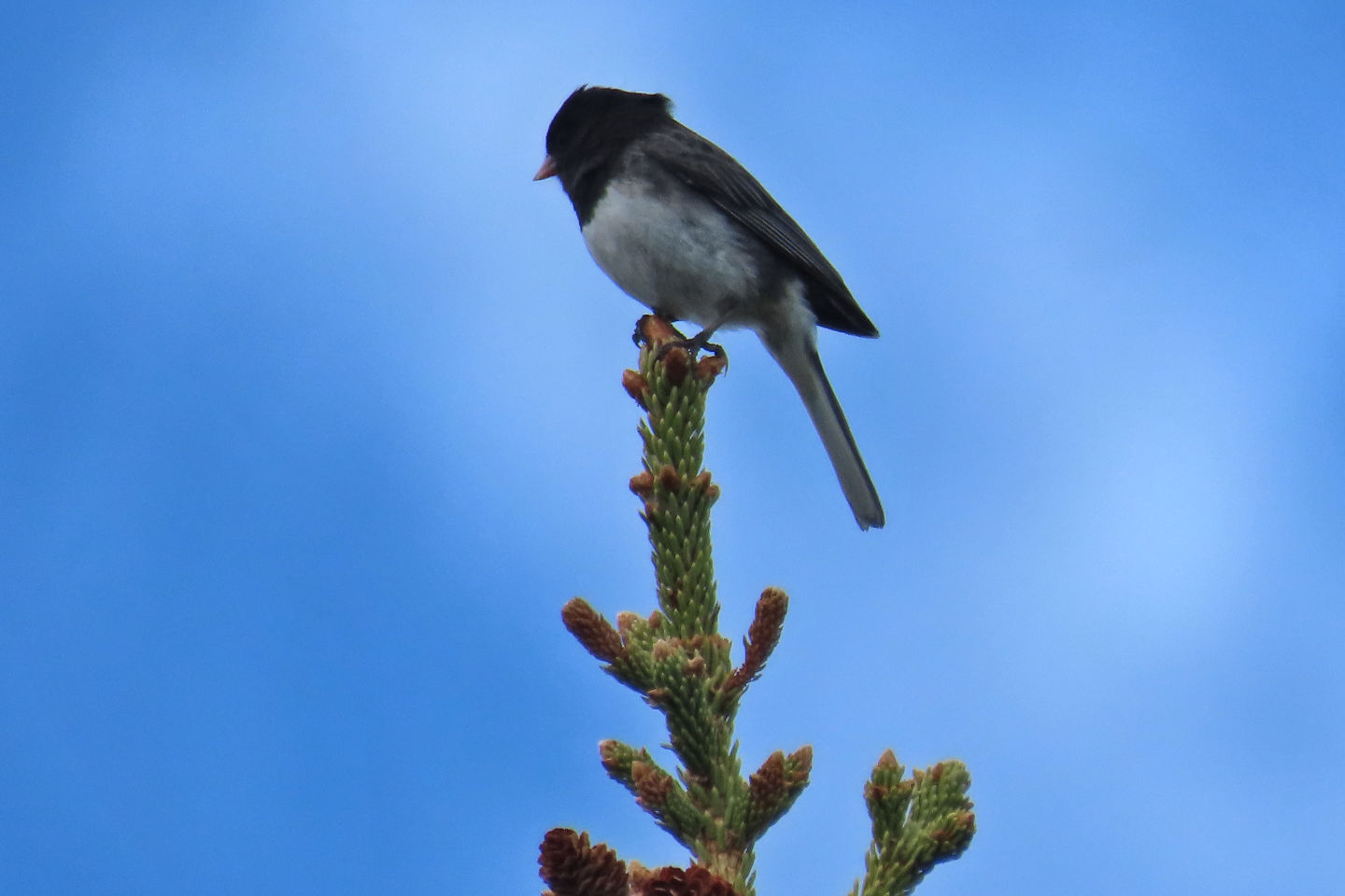 Dark-eyed junco
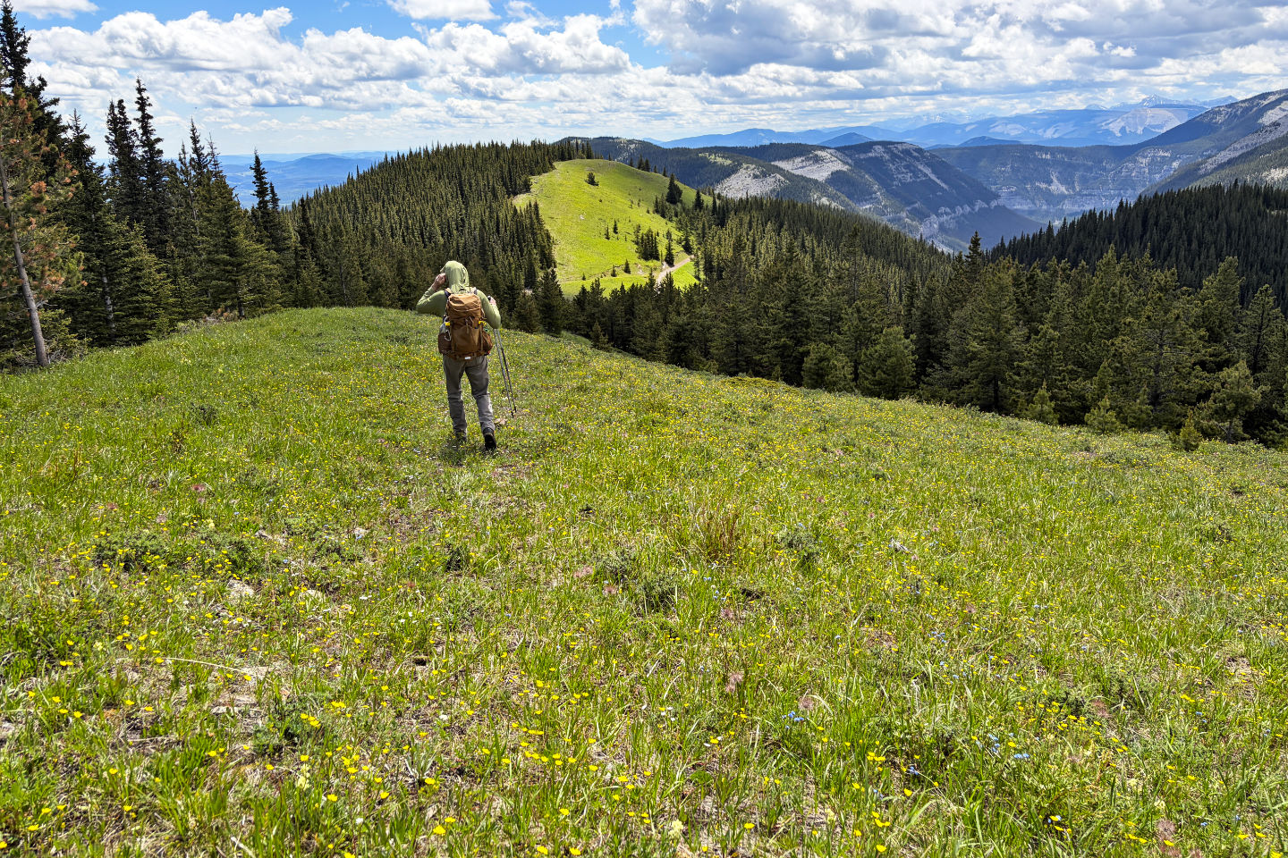
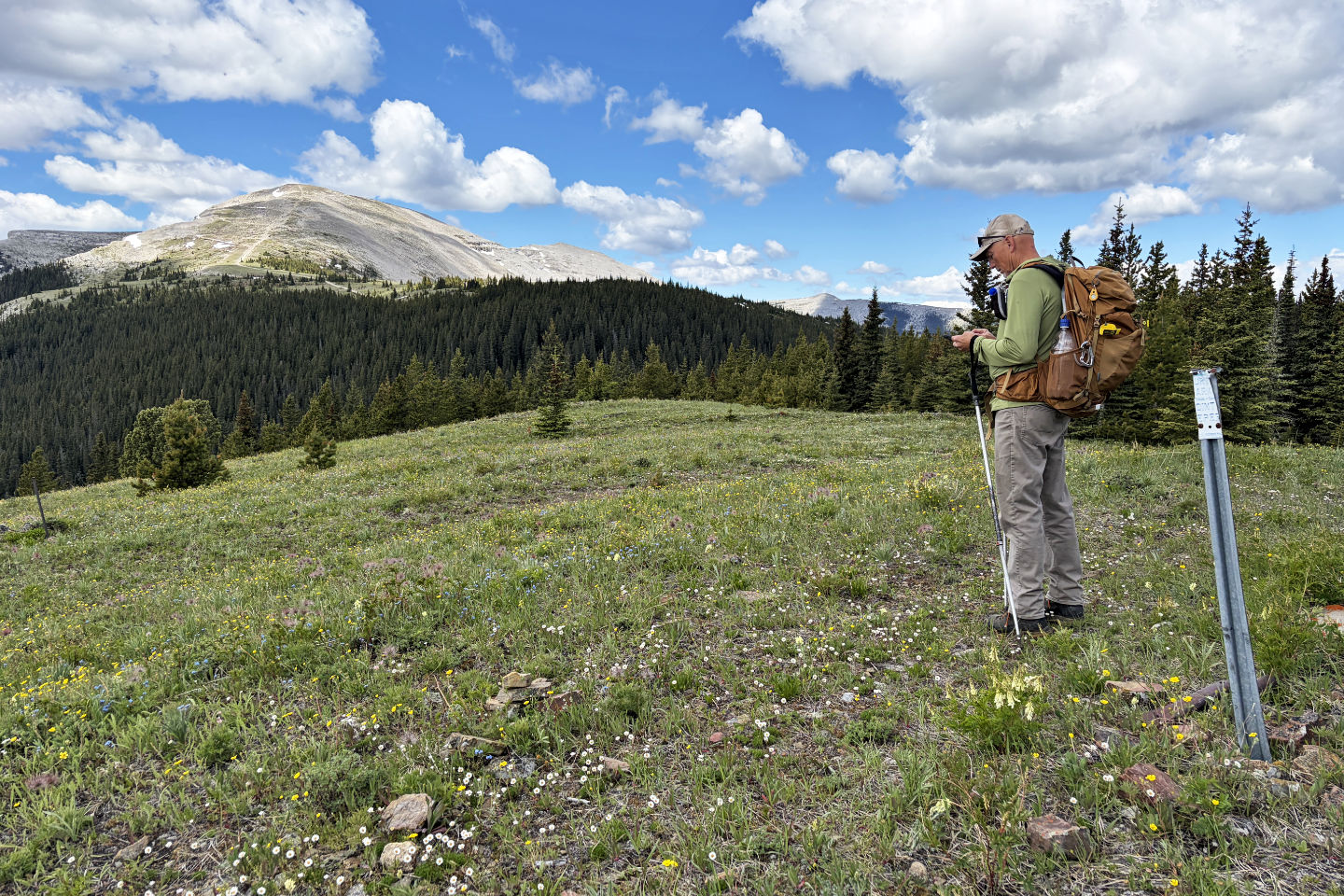 On the knoll looking at Moose Mountain (mouse over for a close-up)
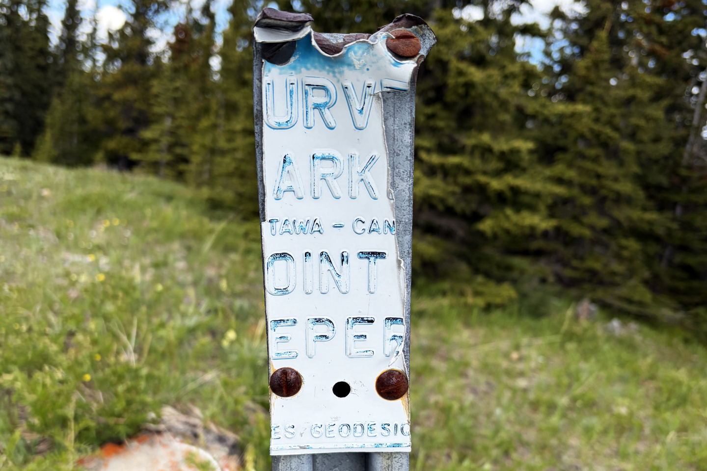 SURVEY MARKER, OTTAWA - CANADA, POINT KEEPER, GEODESIC
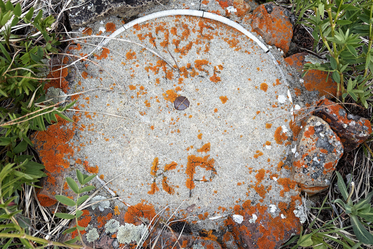 1985 Moose KP
 Heading back to the trail seen in the centre. In the trees on the left, we found an old road that we followed.
82 J/15 Bragg Creek