bobspirko.ca | Home | Canada Trips | US Trips | Hiking | Snowshoeing | MAP | About
Hunchback Hill 3
aka Lusk Ridge
Kananaskis, Alberta
June 5, 2025
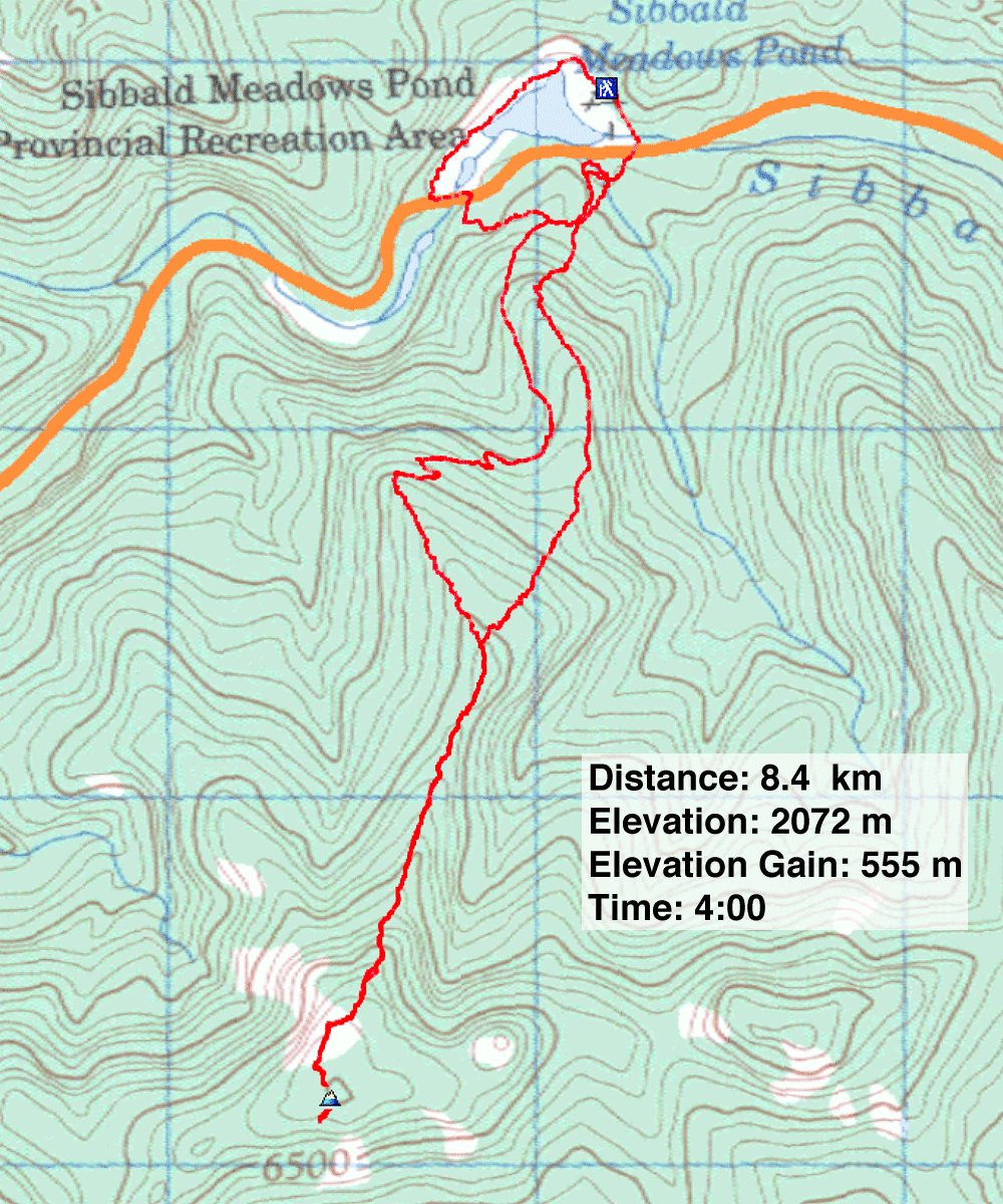
Distance: 8.4 km (5.2 mi)
Cumulative Elevation Gain: 600 m (1968 ft)
In 2022, following exploration roads and bushwhacking, I climbed Hunchback Hill 3 with friends using the northwest ridge. Unfortunately, it began snowing, and it became an uninspiring, viewless trip. So when Gillean Daffern, author of Kananaskis Country Trail Guide, suggested I hike Hunchback Hill 3 up a trail on the north ridge in the summer, I was keen.
Since my last visit, trails have appeared on Hill 3. From Sibbald Meadows Pond Provincial Recreation Area, I crossed Highway 68 to the trailhead. Confusingly, the trail soon hits junctions close together, but I proceeded straight ahead, up the north ridge.
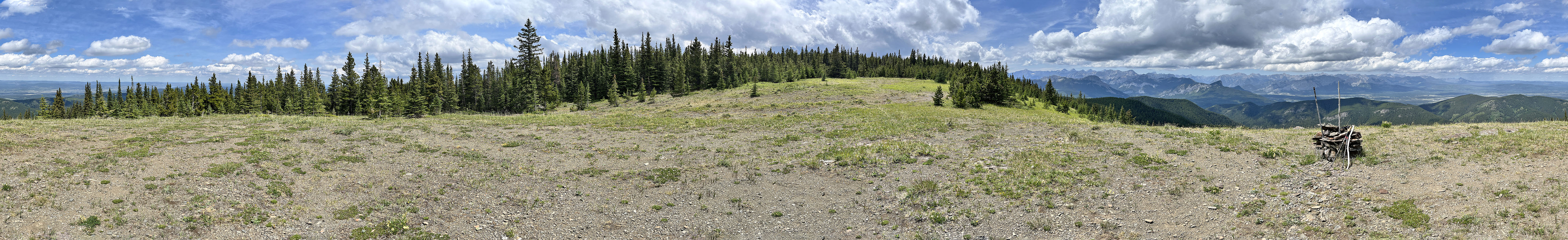
The trail reaches a vast meadow bearing a cairn, a substitute summit as the true summit, less than 200 m away, lacks views. I crossed the meadow and hiked to the treed summit. After a brief stop, I continued to a clearing where I gazed south at the highest hill in the Hunchback Hills. Then I turned around and headed back.
I came down the north ridge and, keeping left, started down switchbacks. At a four-way junction, I continued ahead on an exploration road. I could’ve gone to the end of the road and returned to the trailhead, but 700 m after the junction, I turned left onto a trail. I soon came to a T-intersection, turned right and popped onto Highway 68. Instead of walking back along the road, I went left and walked up the road a short distance to a glade. There was no sign of a trail at first, but after crossing the glade, I found a faint trail at the base of a steep slope. The trail grew distinct as I followed it around Sibbald Meadows Pond to the parking lot.
 Hunchback Hill 3 seen from Sibbald Meadows Pond
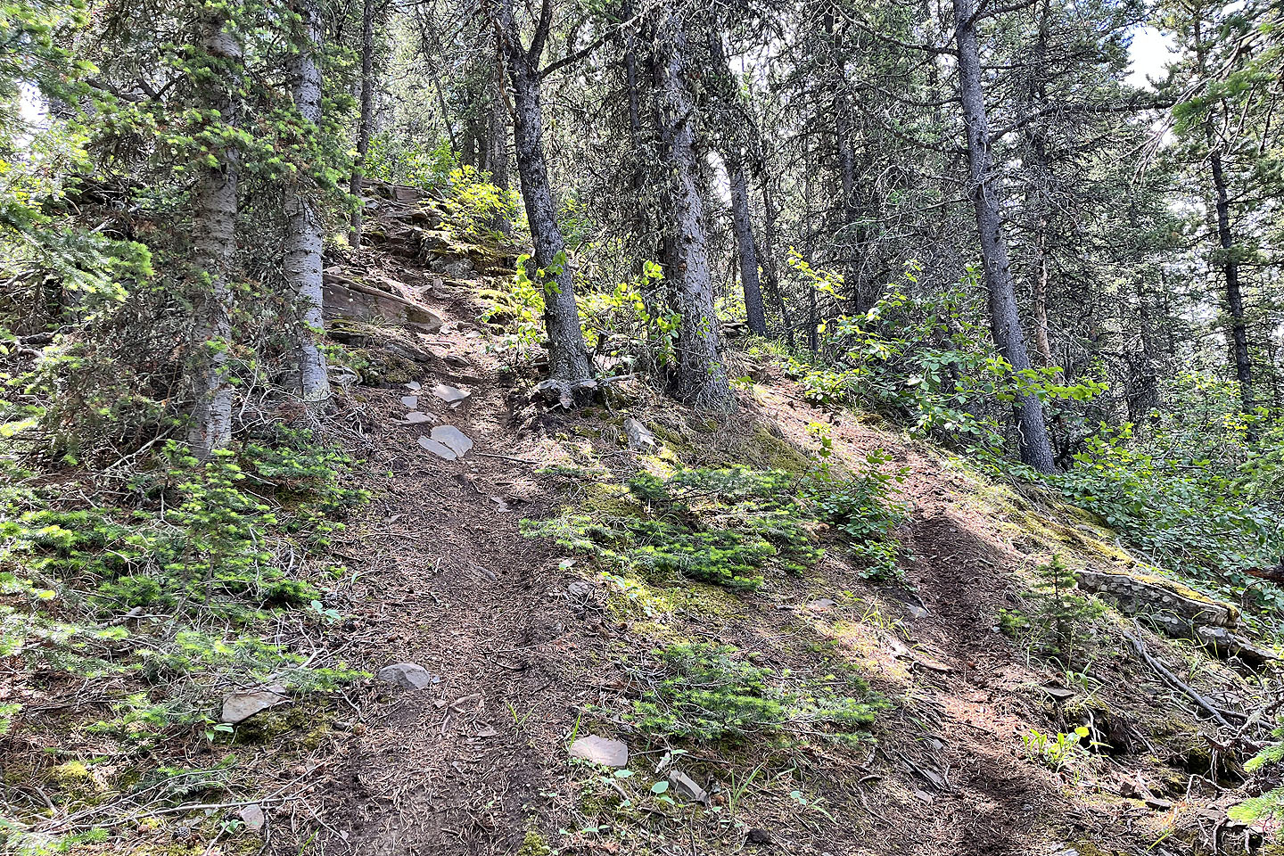
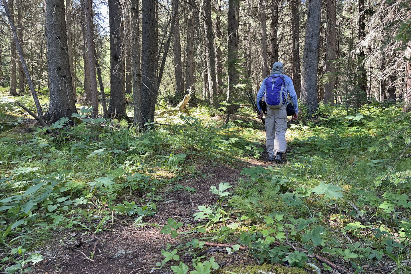 Starting up the trail
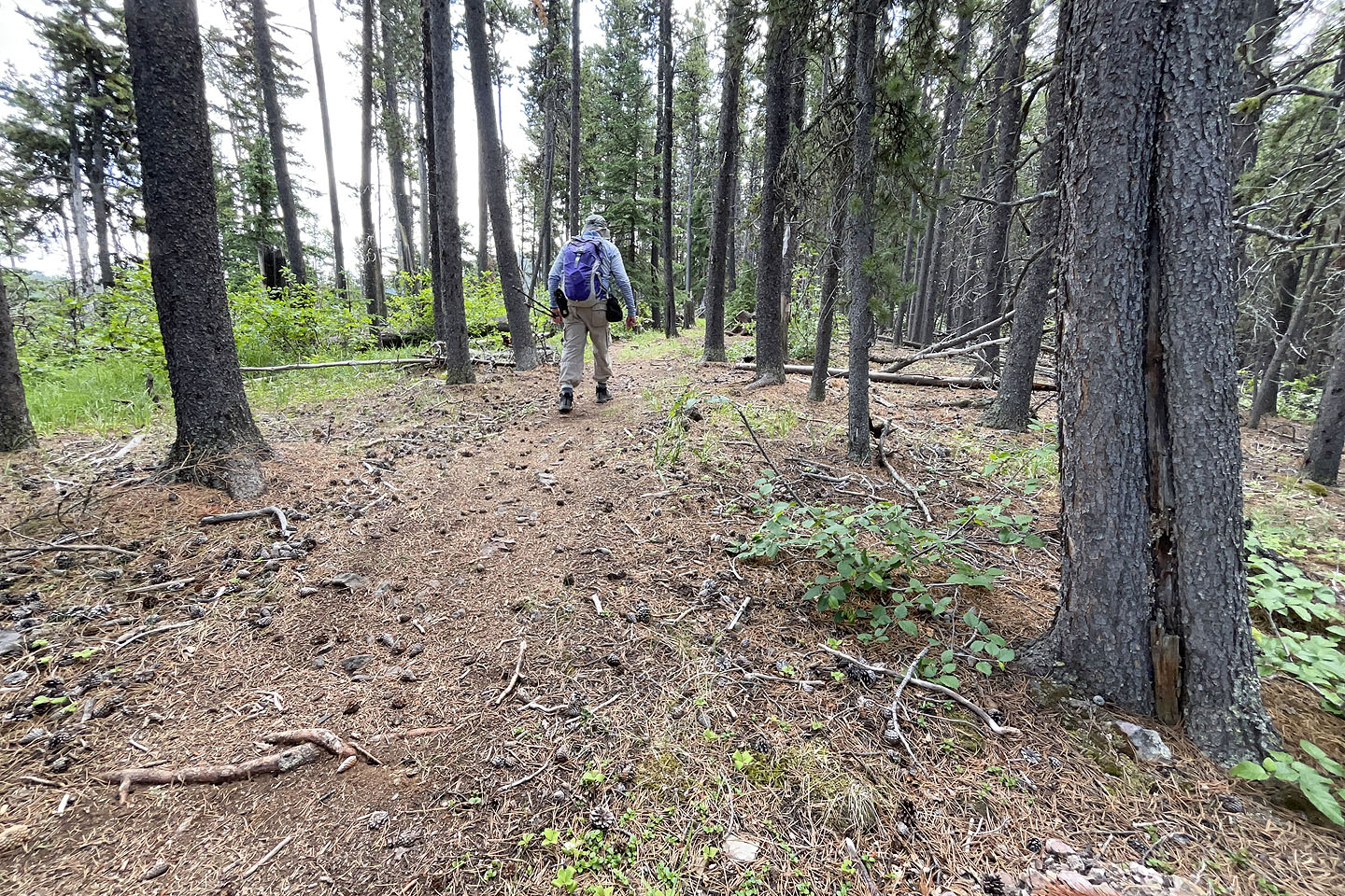
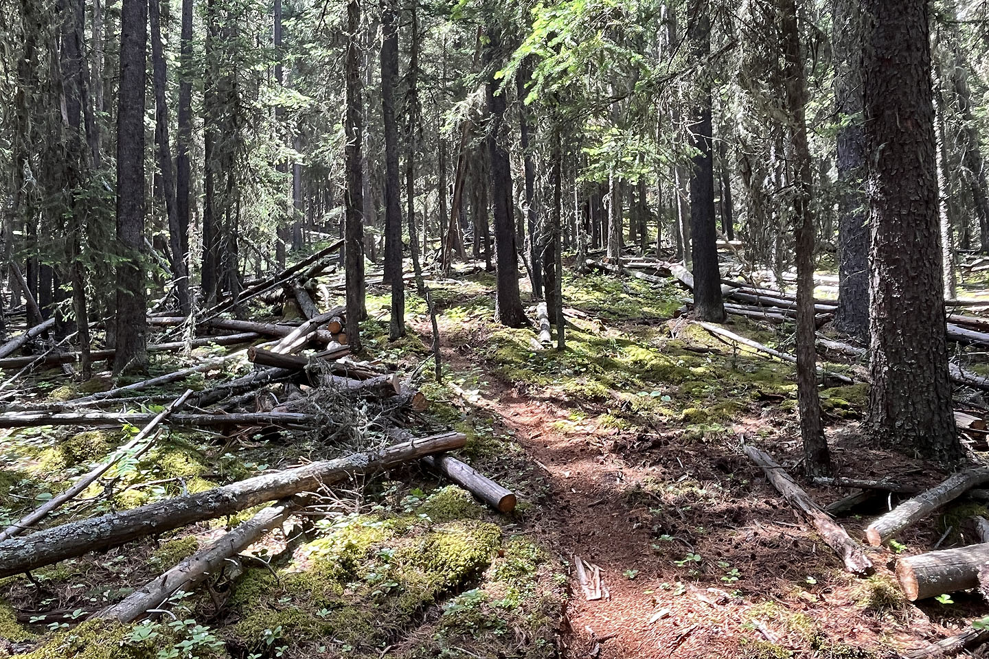 Dozens of trees have been cleared from the trail
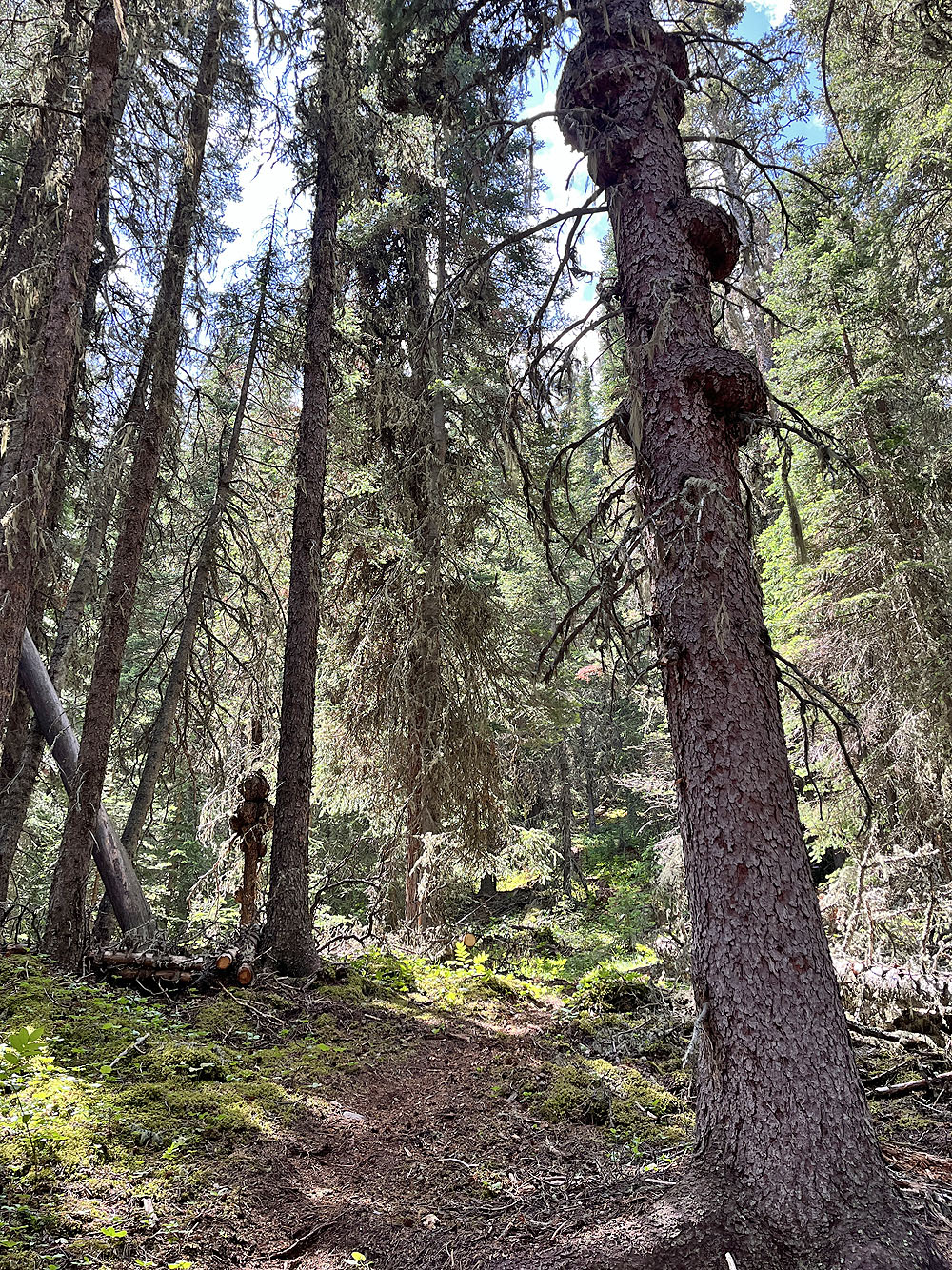
I saw a lot of burls on trees
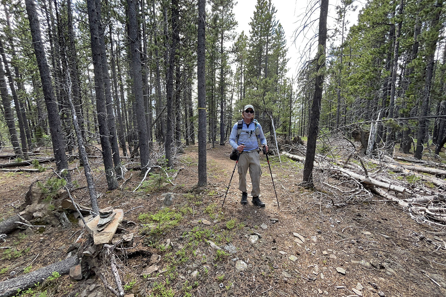
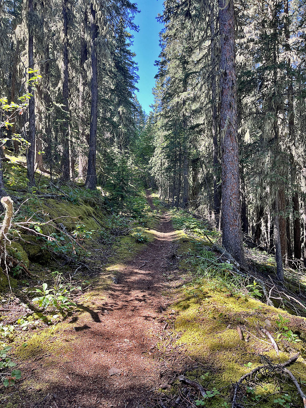
 Continuing up the trail
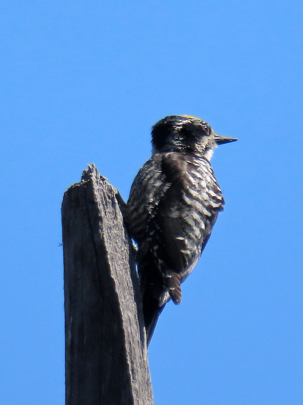
American Three-toed Woodpecker
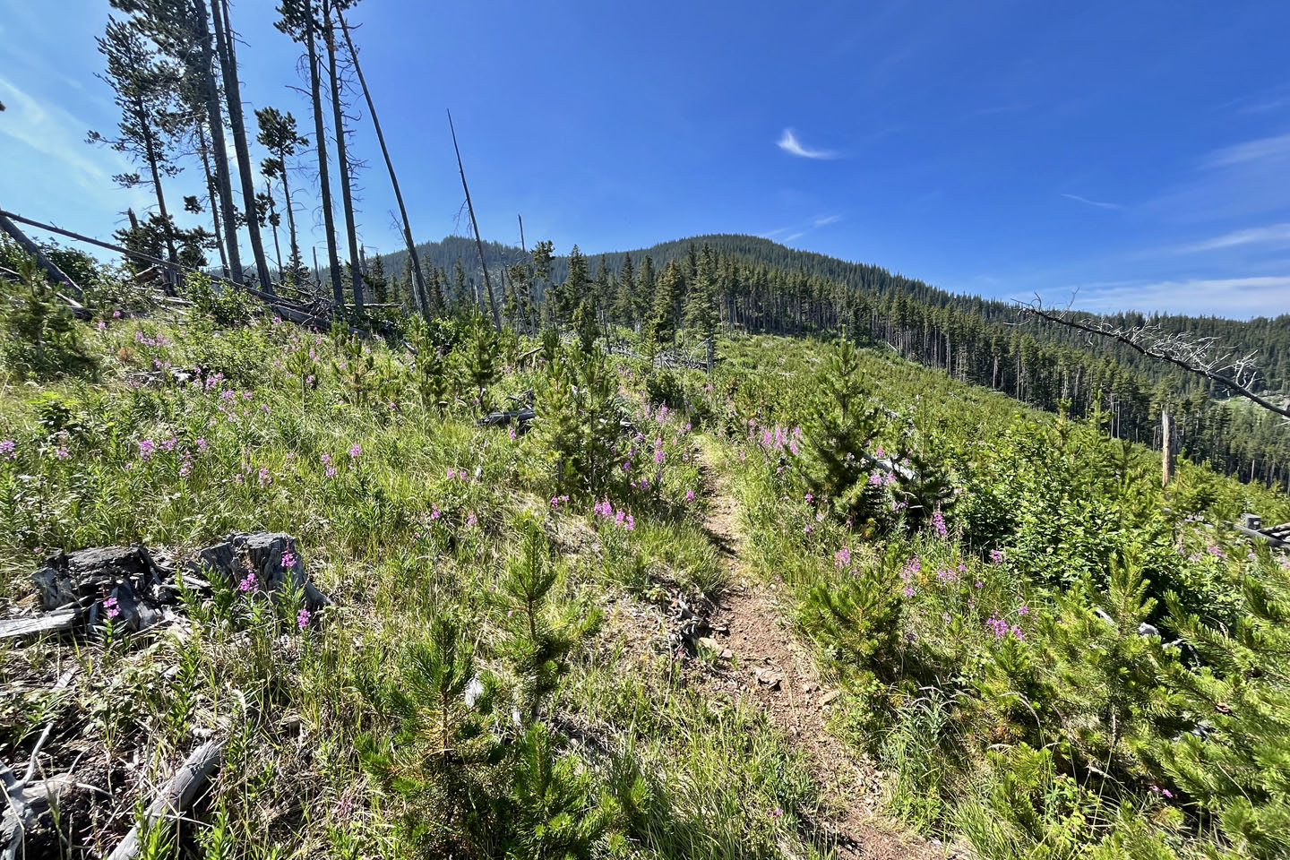 The trail runs through a clearcut
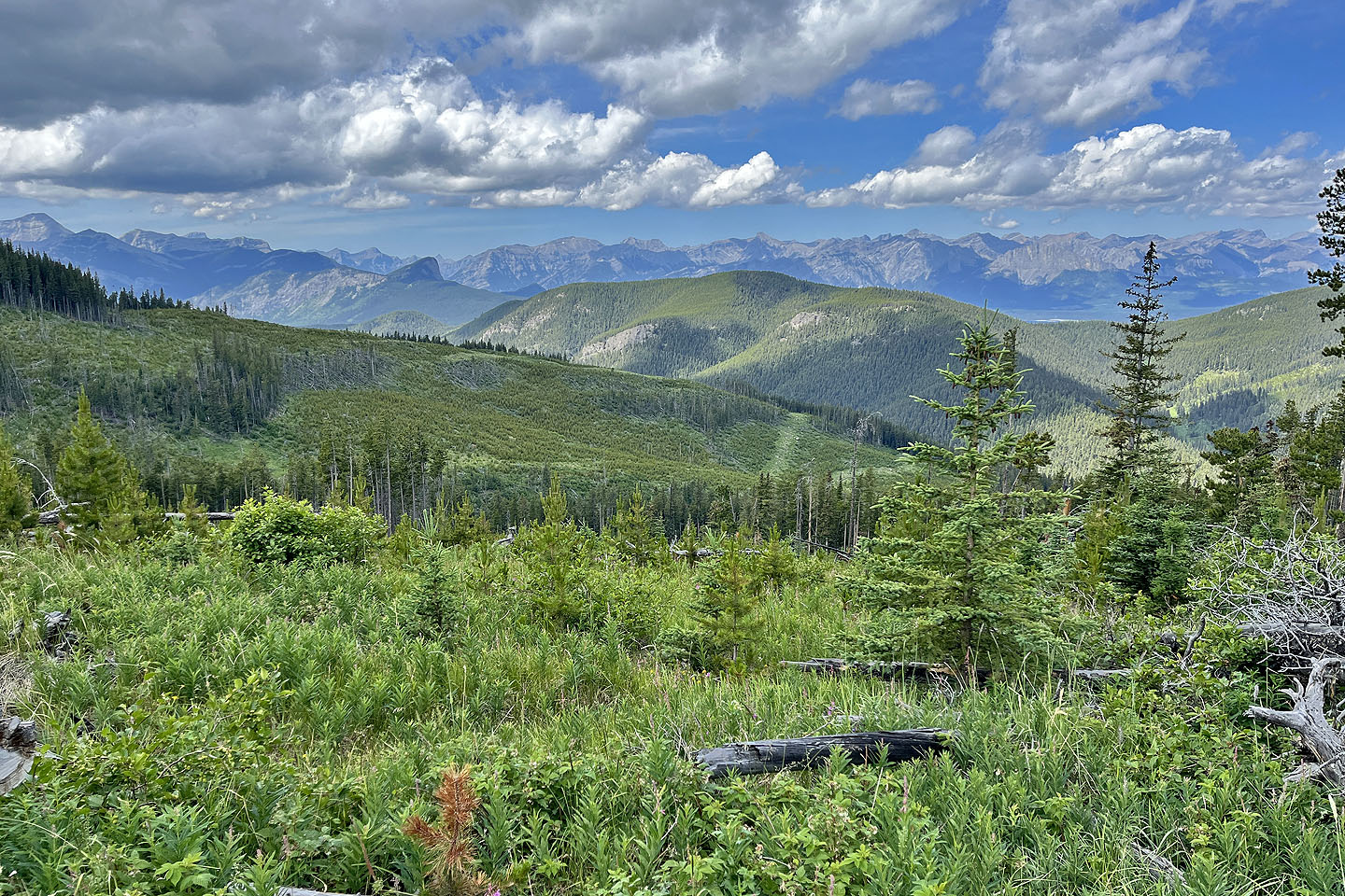 Looking northwest. Horton Ridge in the centre.
 Trail goes over little ridges which can be bypassed on short trails on the right
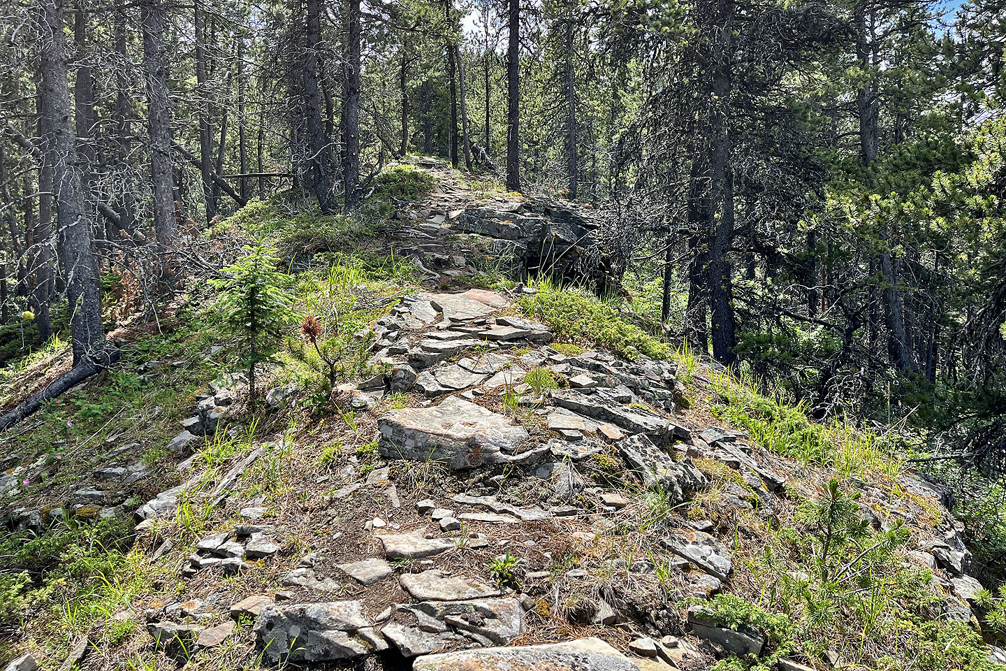 But the ridges are more interesting
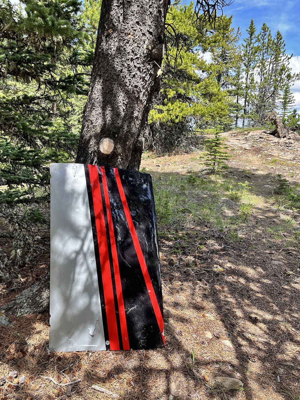
Helicopter cargo door (mouse over to view backside)
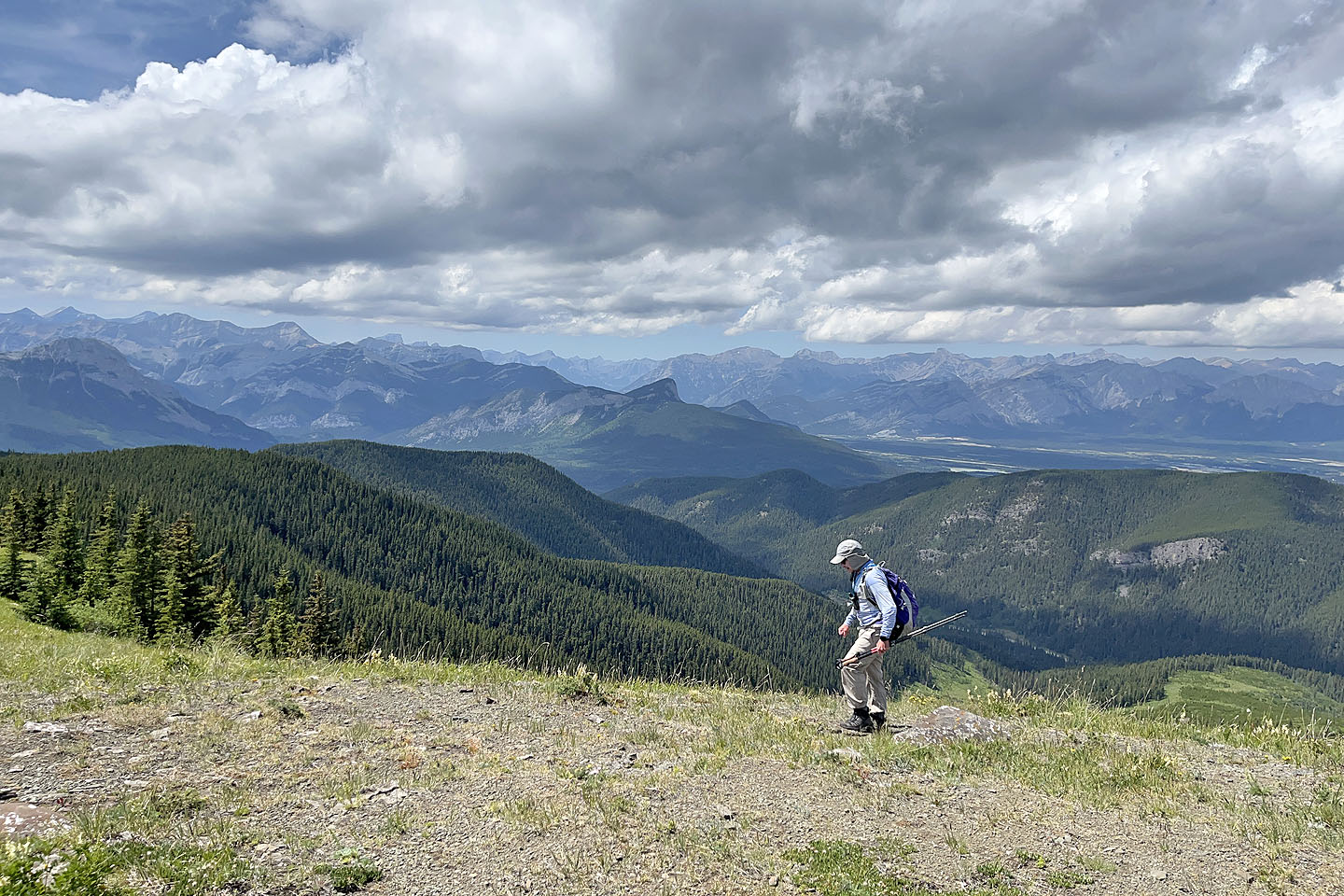 The summit is less than 200 m from the meadow. The point in the centre is Yates Mountain (mouse over).
 Hard to tell where the exact summit is as it's flat. I built a little cairn.
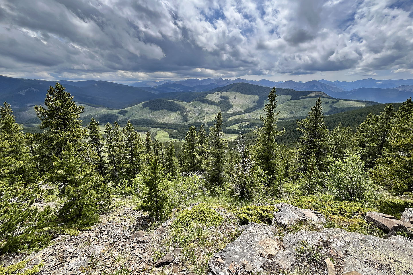 I continued past the summit and found a clearing looking west at Hunchback Hill 1
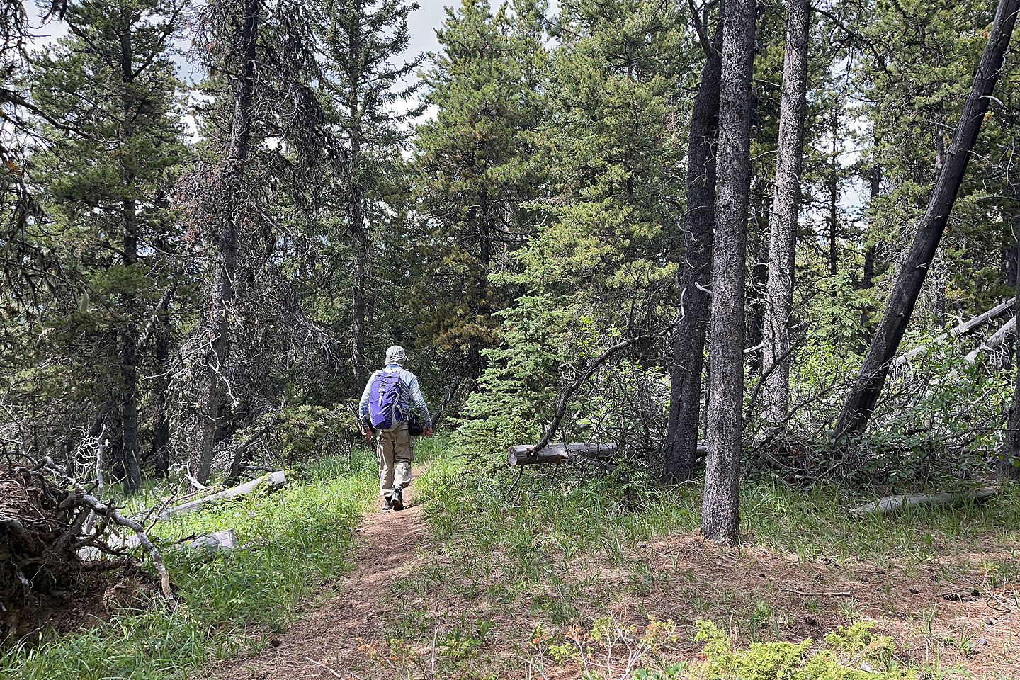 Heading down, now on a trail leading to the exploration road
Looking back at the exploration road
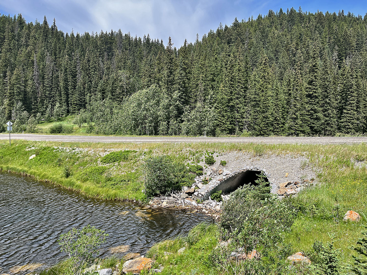 The trail ends next to a culvert. I crossed the road and went to the meadow on the left and looked for a trail.
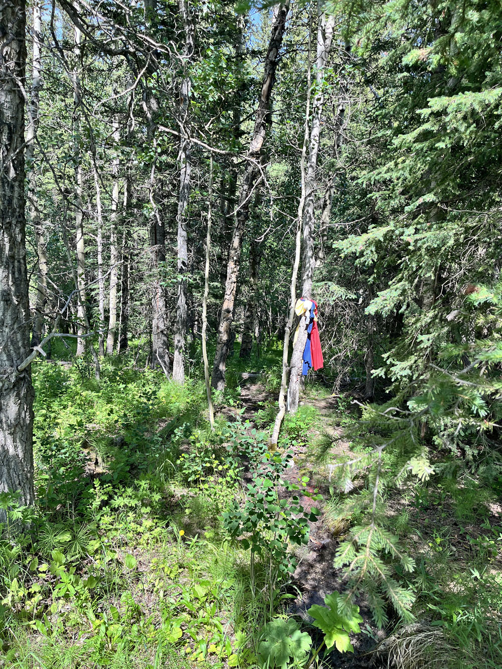
In the meadow, I spotted this but it didn't mark the trail
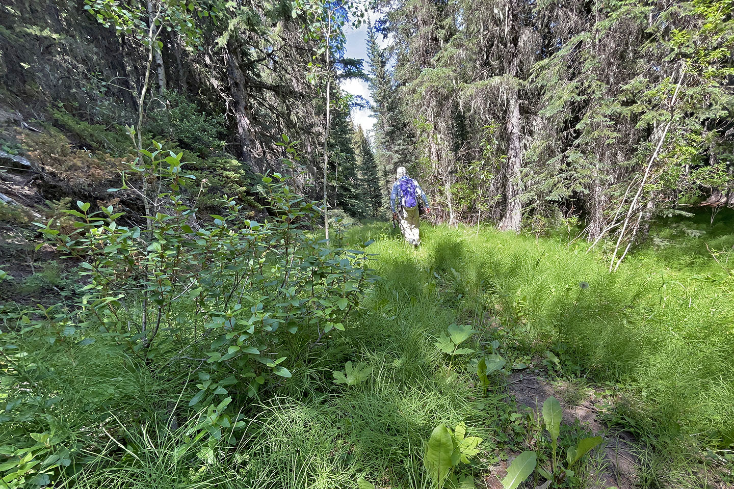 Further in, I found a vague trail alongside a steep slope
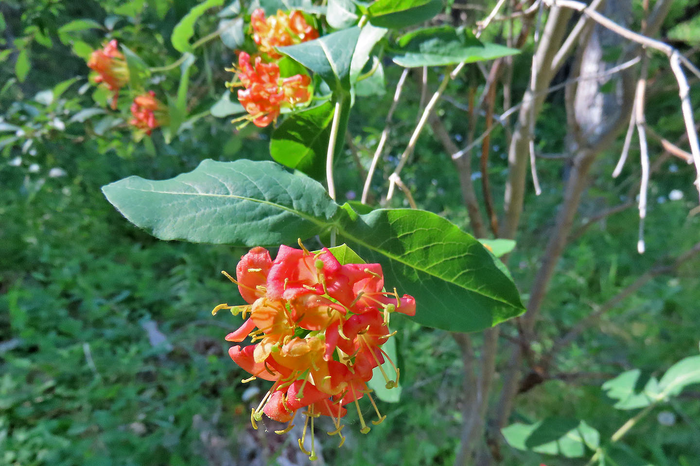 Honeysuckle
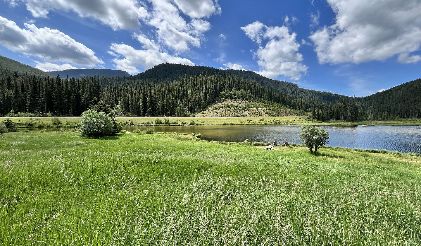
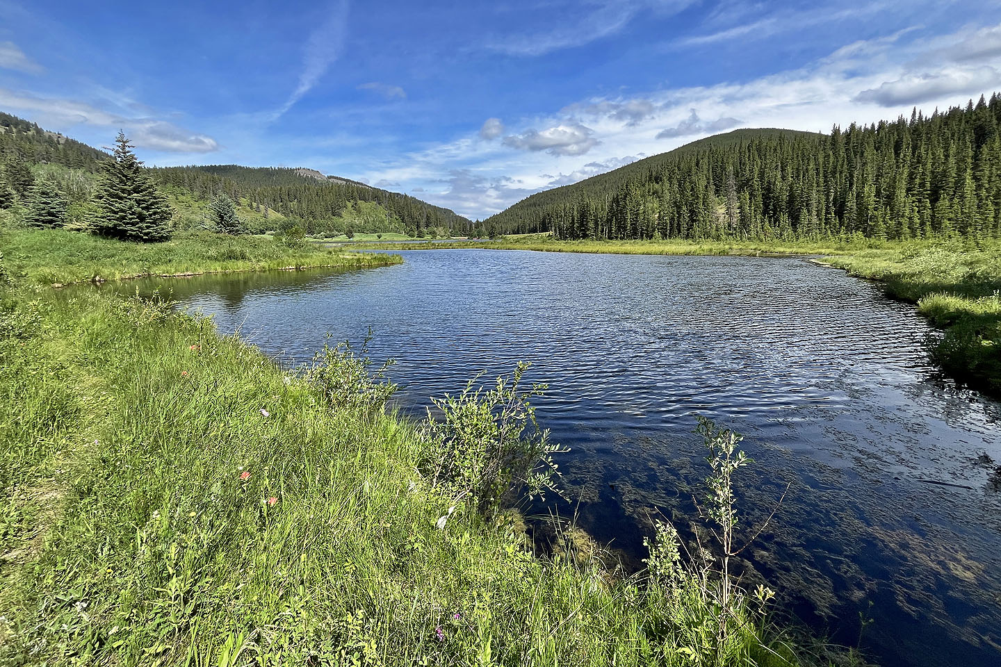 The trail follows the north shore of Sibbald Meadows Pond
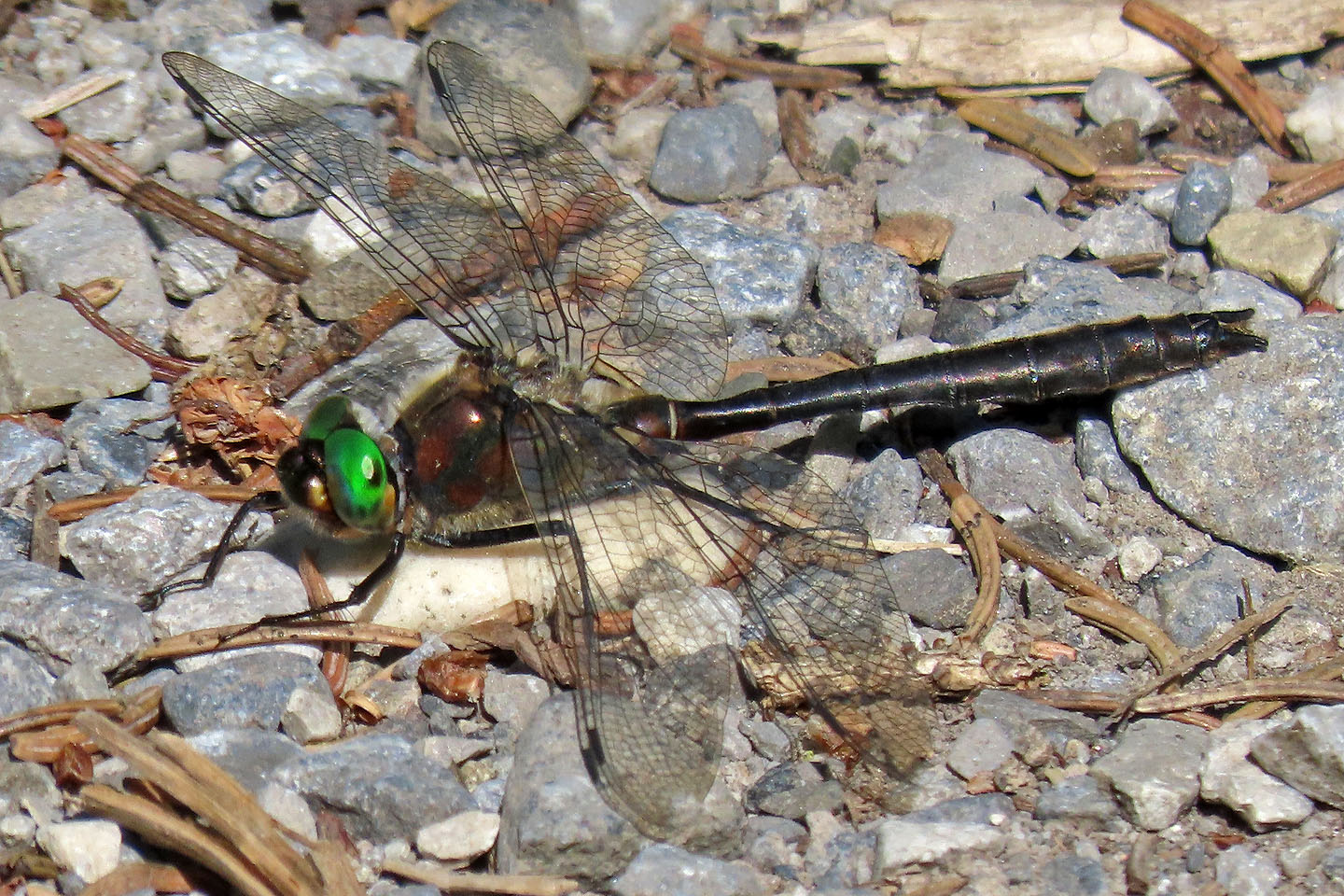 American emerald dragonfly on the trail
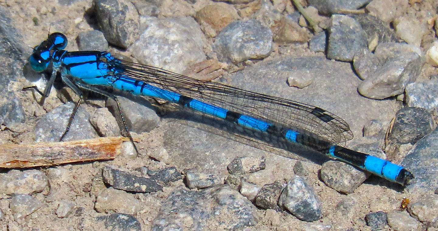 Common blue damselfly
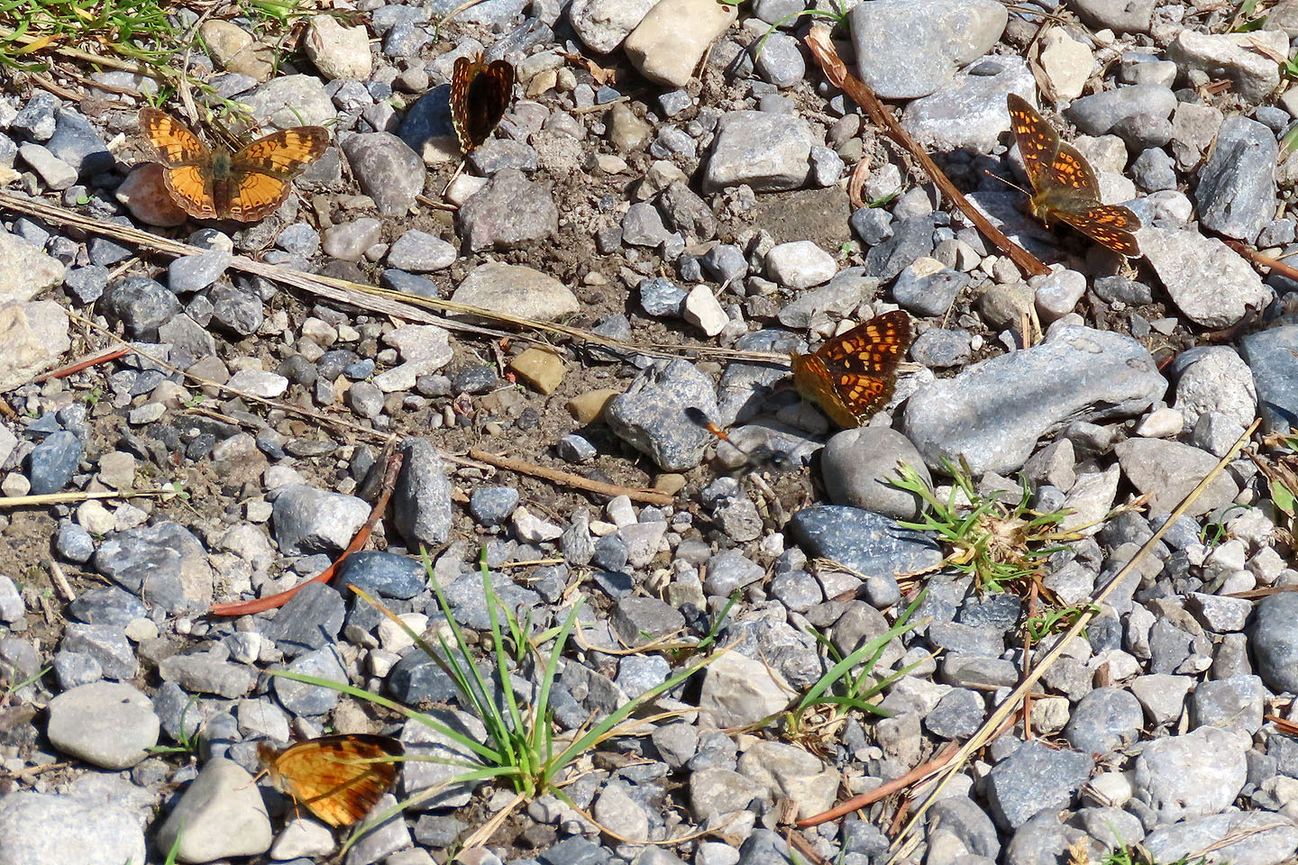 Butterflies mud-puddling, i.e. seeking out nutrients in certain moist substances such as rotting plant matter and mud (mouse over for a close-up of two butterflies)
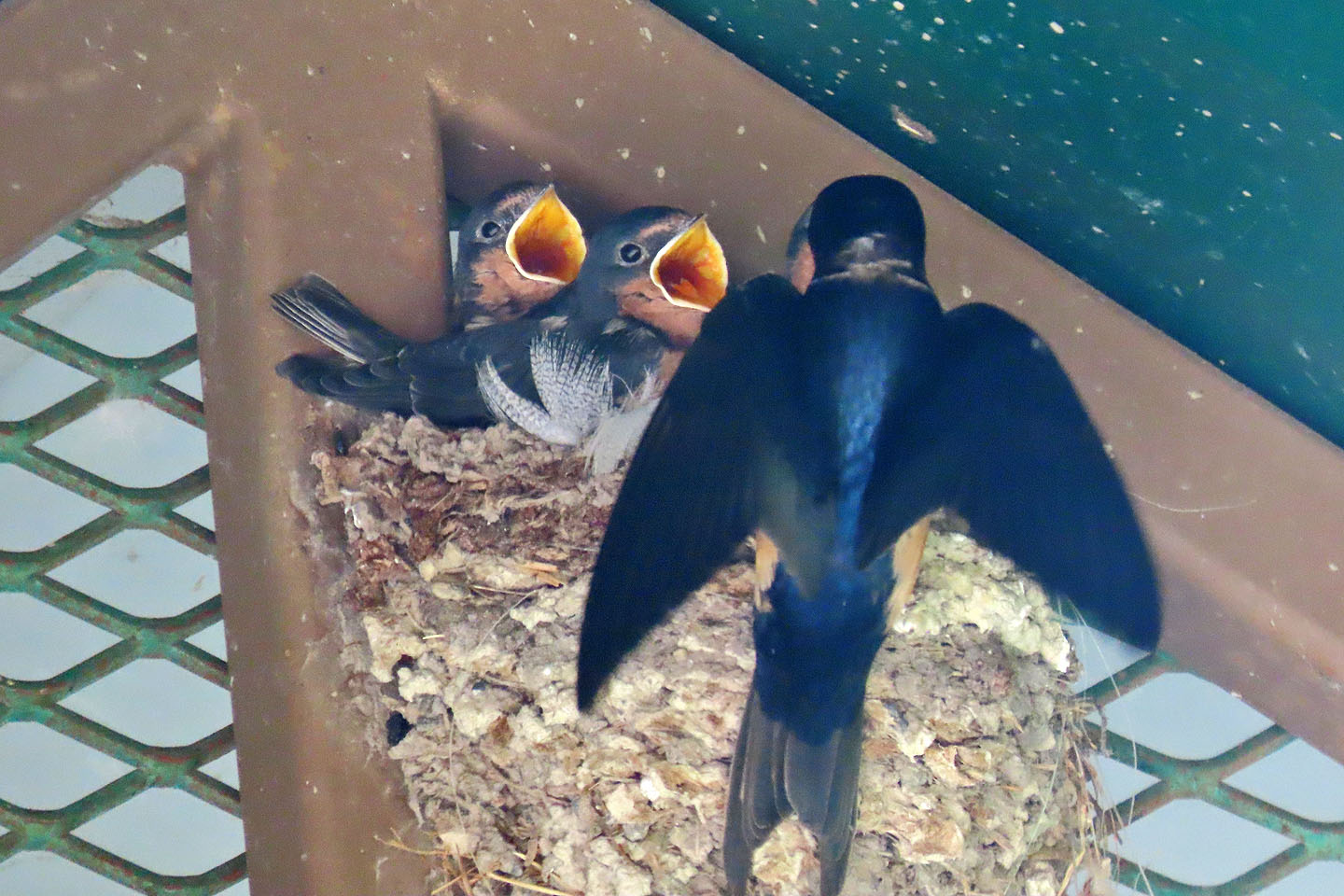 Back at the parking lot, a swallow feeds fledglings in a nest on the outhouse
82 O/2 Jumpingpound Creek