bobspirko.ca | Home | Canada Trips | US Trips | Hiking | Snowshoeing | MAP | About

Horton Hill
Kananaskis, Alberta
February 26, 2022
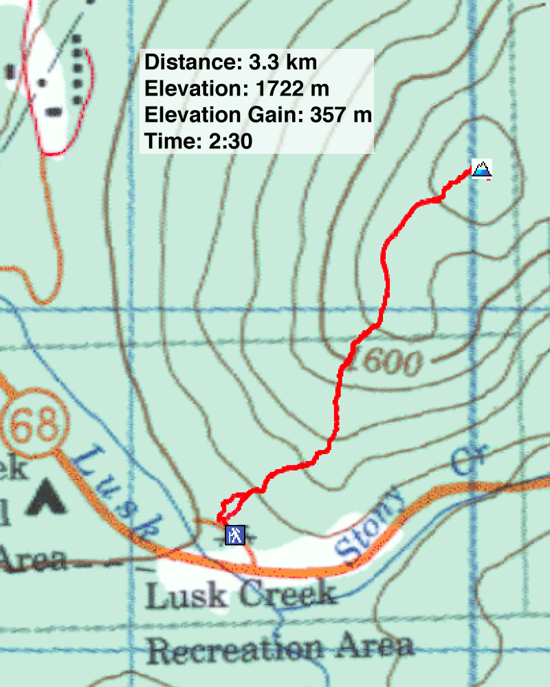
Distance: 3.3 km (2.1 mi)
Cumulative Elevation Gain: 357 m (1171 ft)
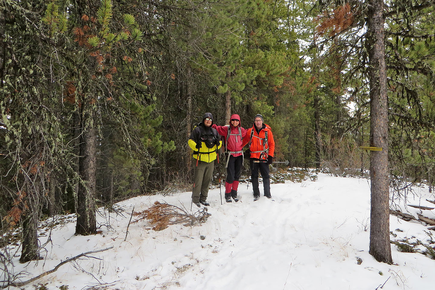
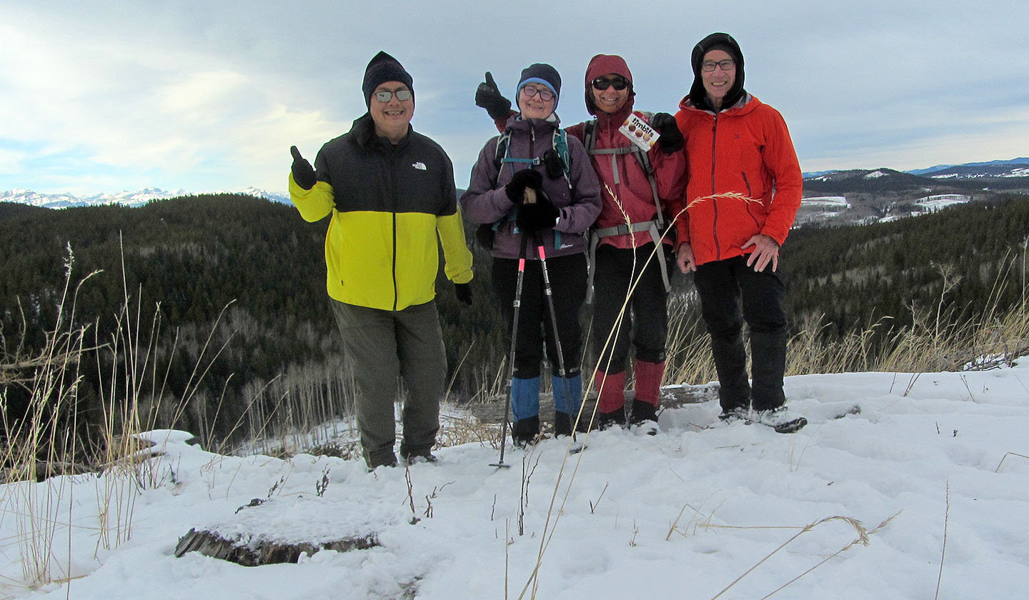
Dinah and I climbed Horton Hill several years ago but took the opportunity to return when Sonny and Zosia invited us to join them on their first ascent.
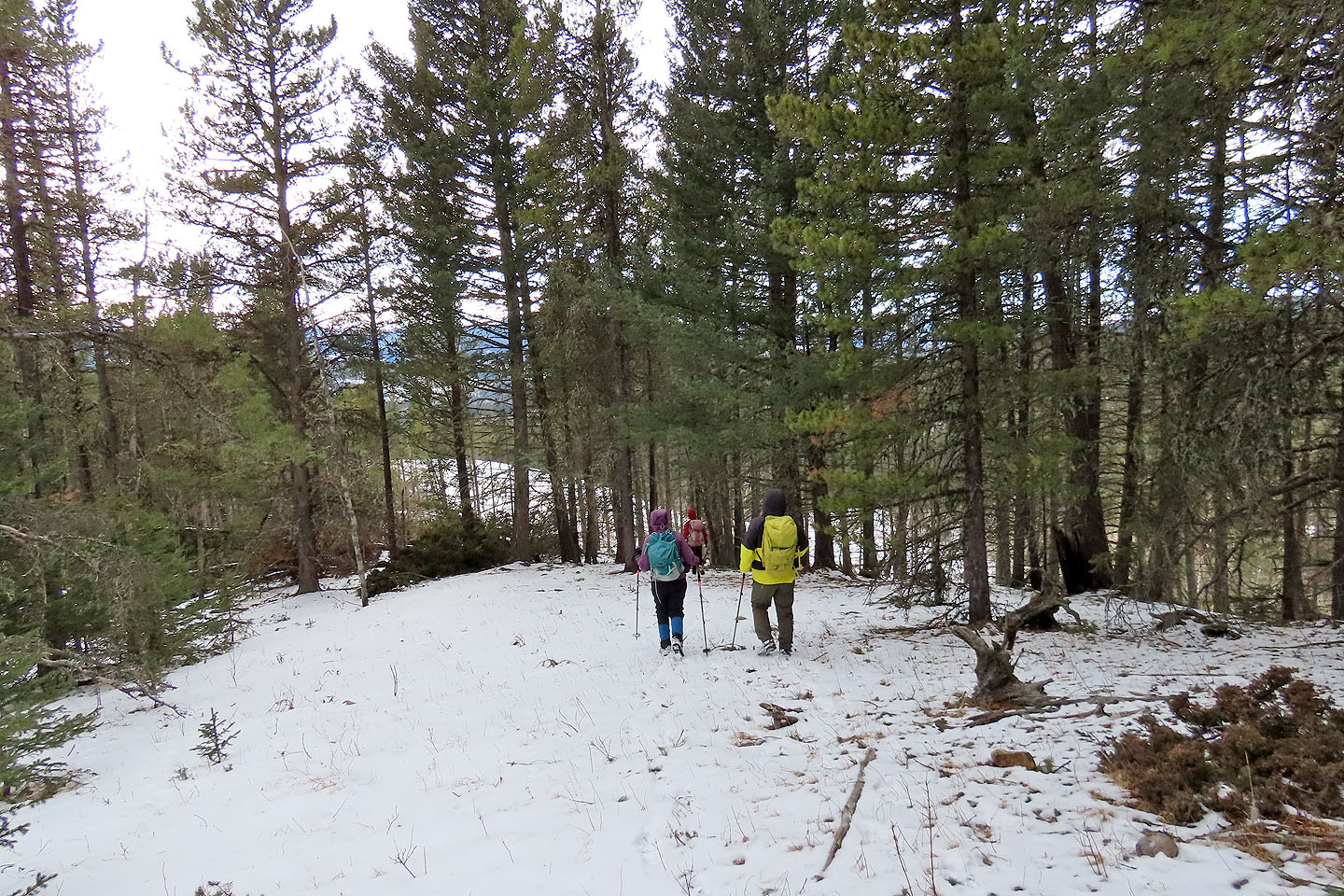
We parked at Lusk Creek day use area and started up the slope at the end of the parking lot. There was no trail at first, and we kept right to avoid crossing drainages. In a short time, we found ourselves on the distinct south ridge. Here, snow covering notwithstanding, we found evidence of a trail, but we wouldn't hit the real trail, the one from Tim Horton Children's Ranch, until we neared the summit.
The treed summit is uninspiring, but a nearby narrow viewpoint bearing a cairn helps to supplement a sense of achievement. After snacking on Tim Horton treats, we headed back to the parking lot. But we weren't done for the day. Since Horton is a brief hike, Sonny and Zosia wanted to drive down Highway 68 to hike an unnamed hillock: Zepplin Hill.
KML and GPX Tracks
Sonny's Trip Report
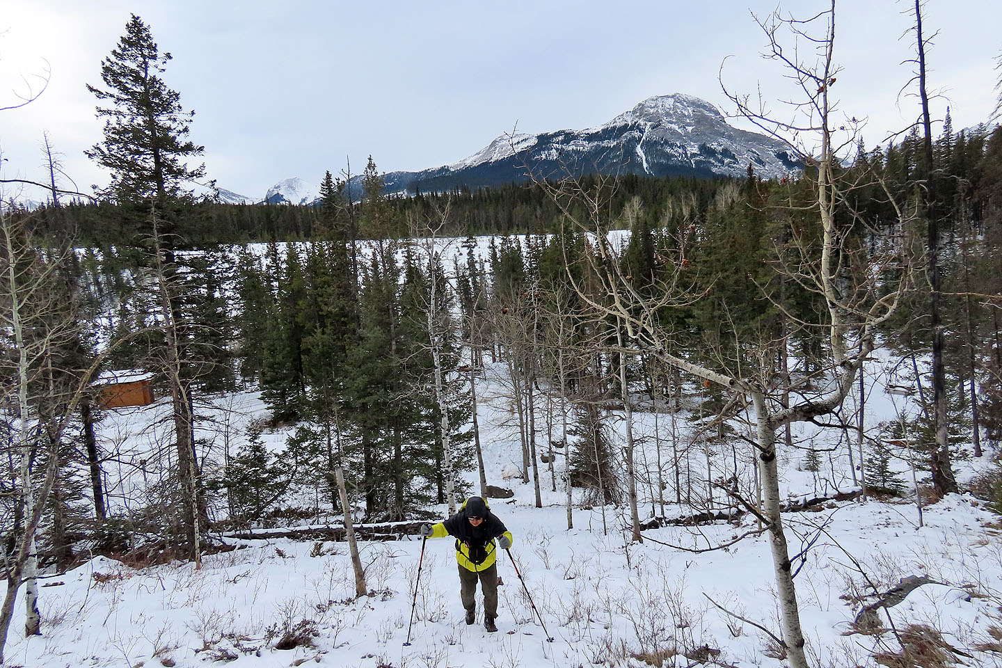
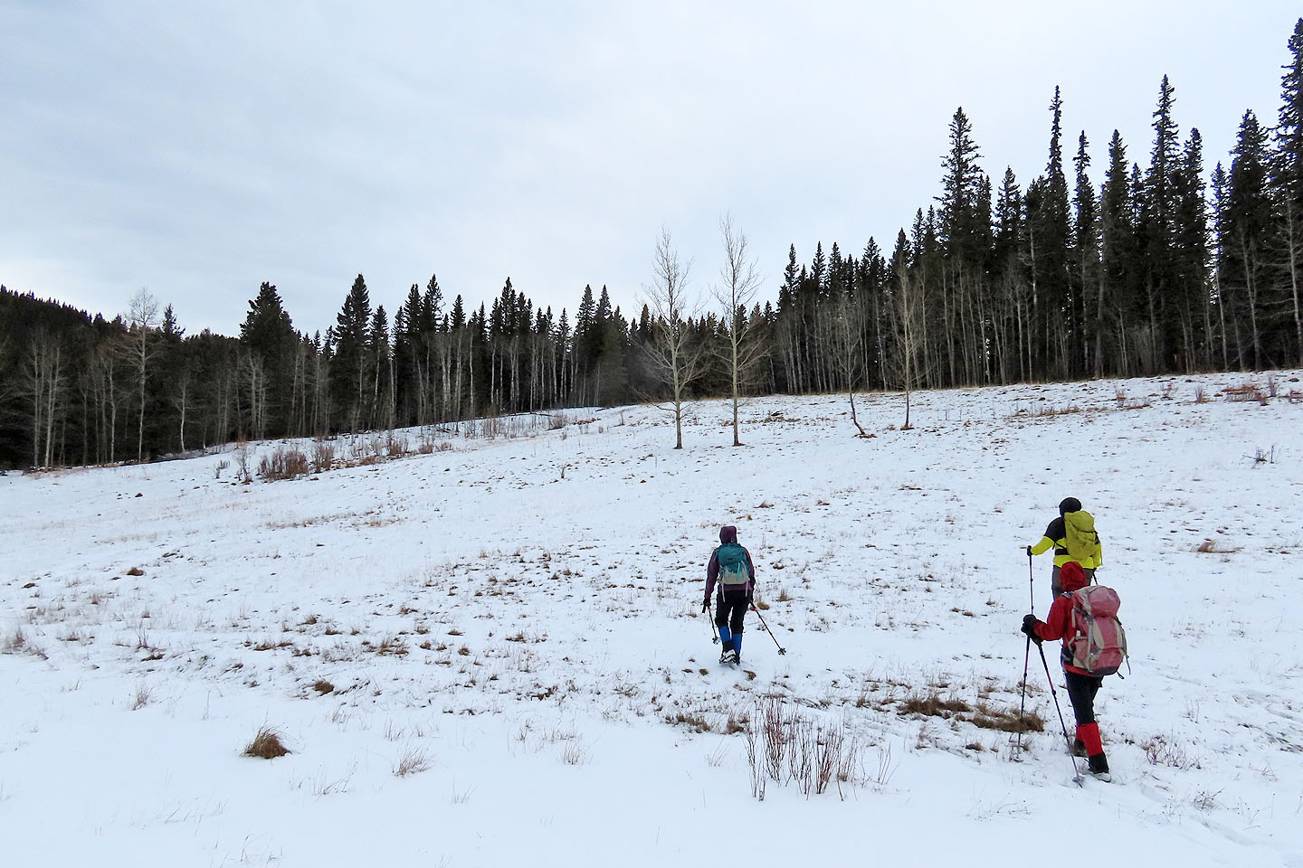
Starting up the slope from the parking lot
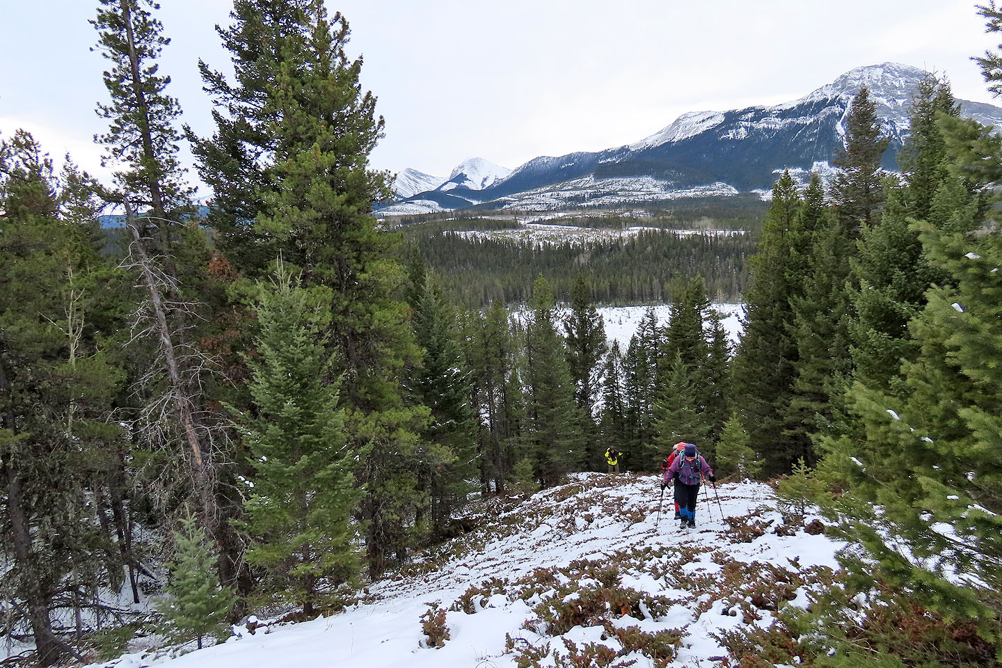
We soon reached the ridge
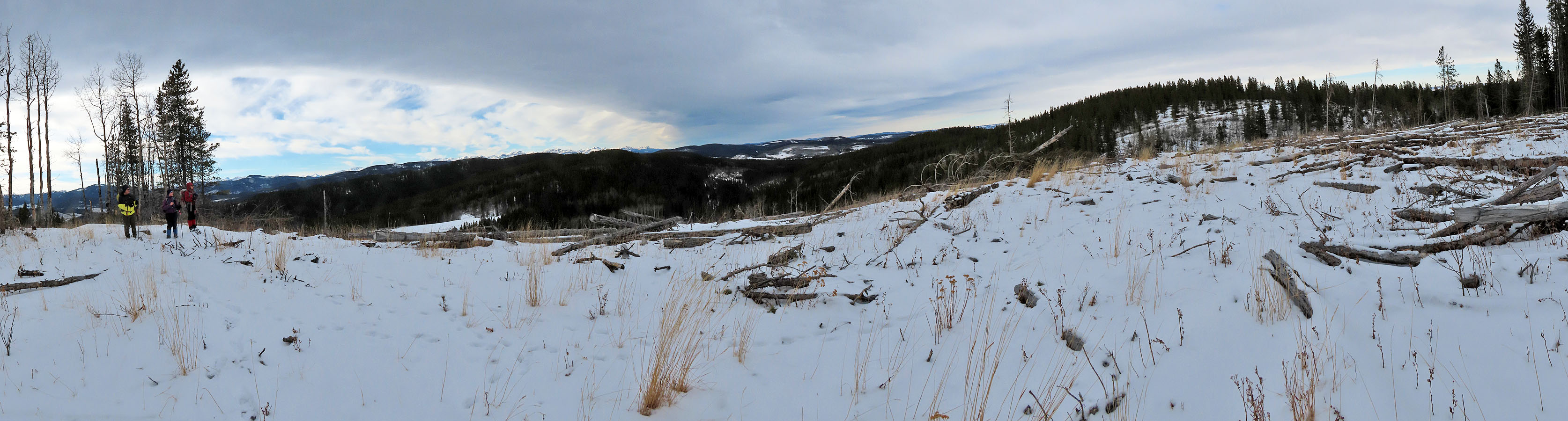
Views include Midnight Peak (centre) and Mount Baldy (right)
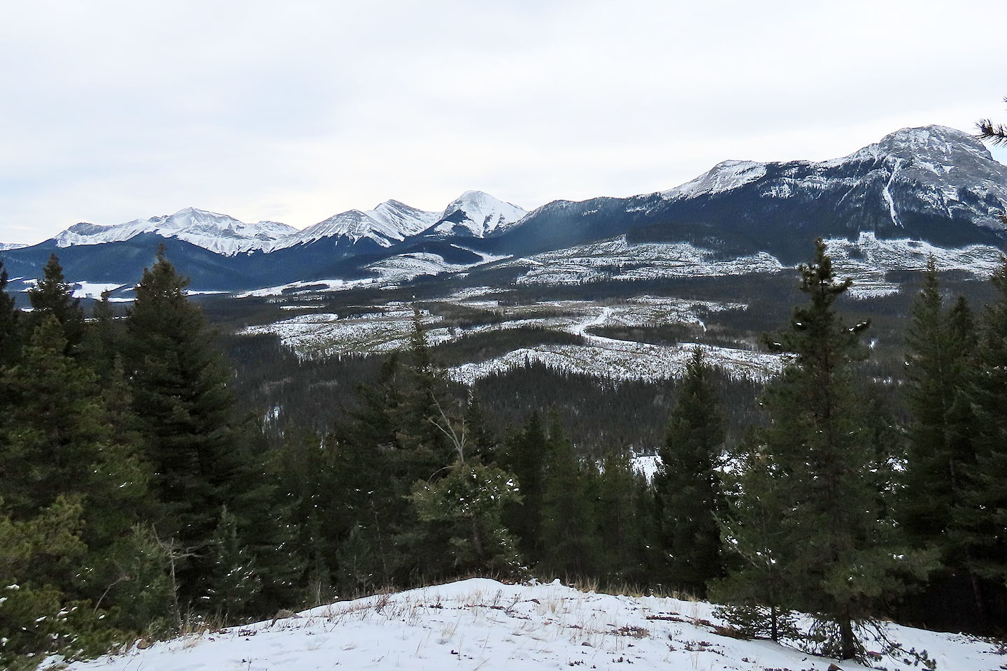
The ridge levels off for a time
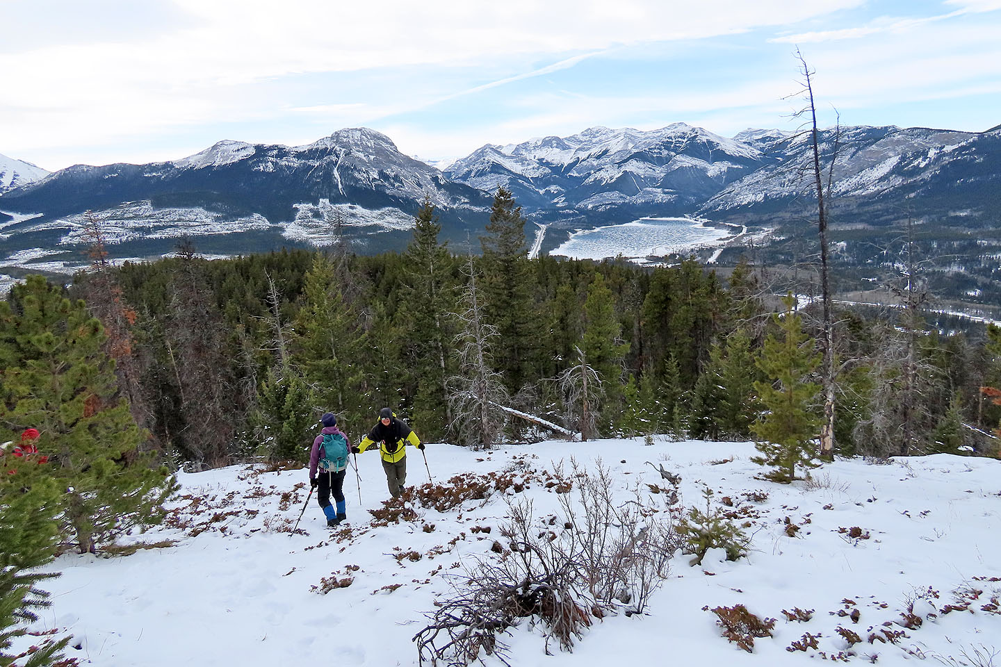
Barrier Lake appeared frozen (mouse over)
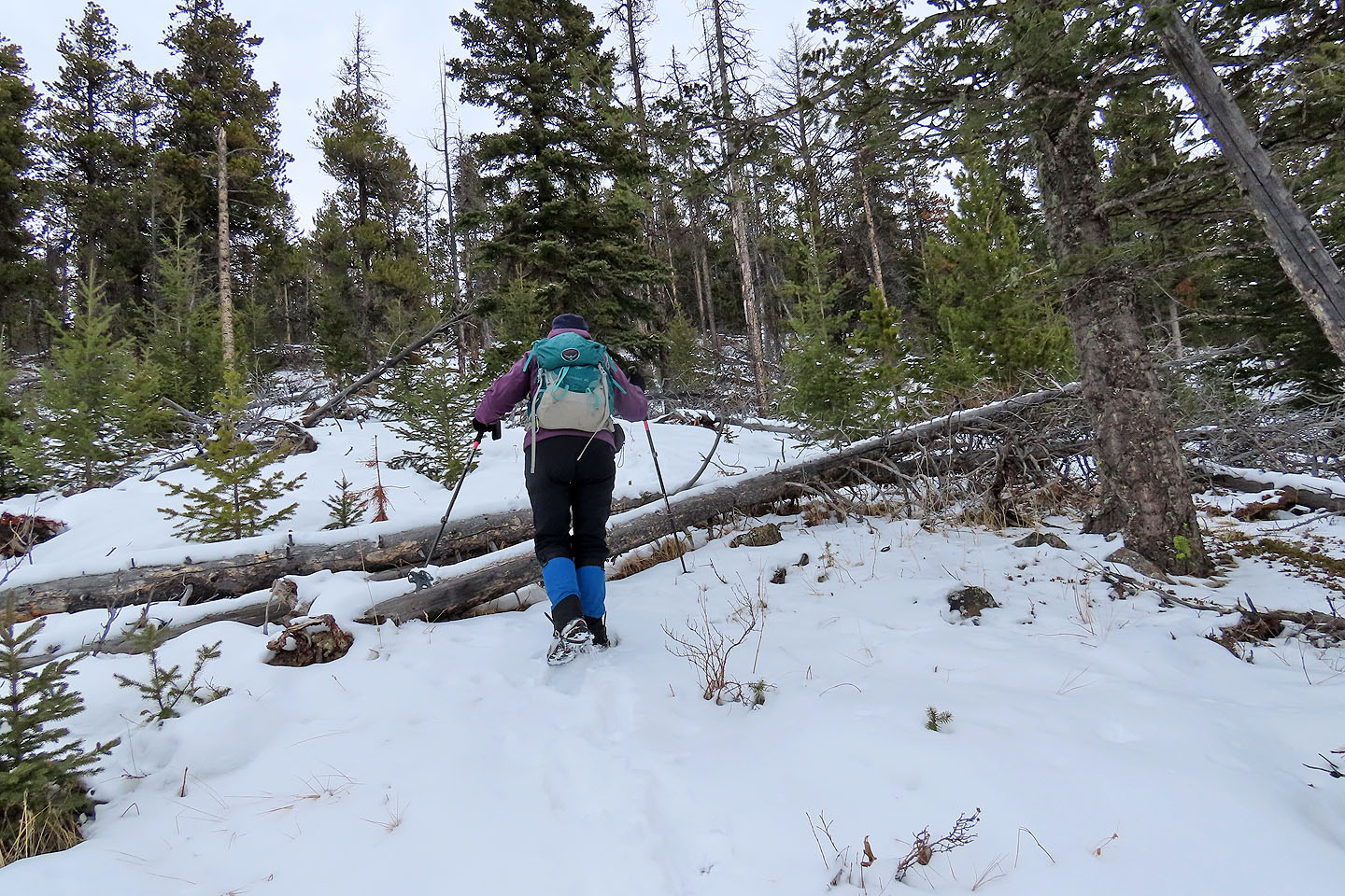
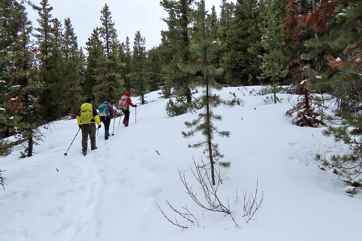
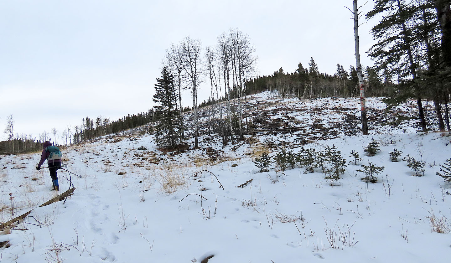
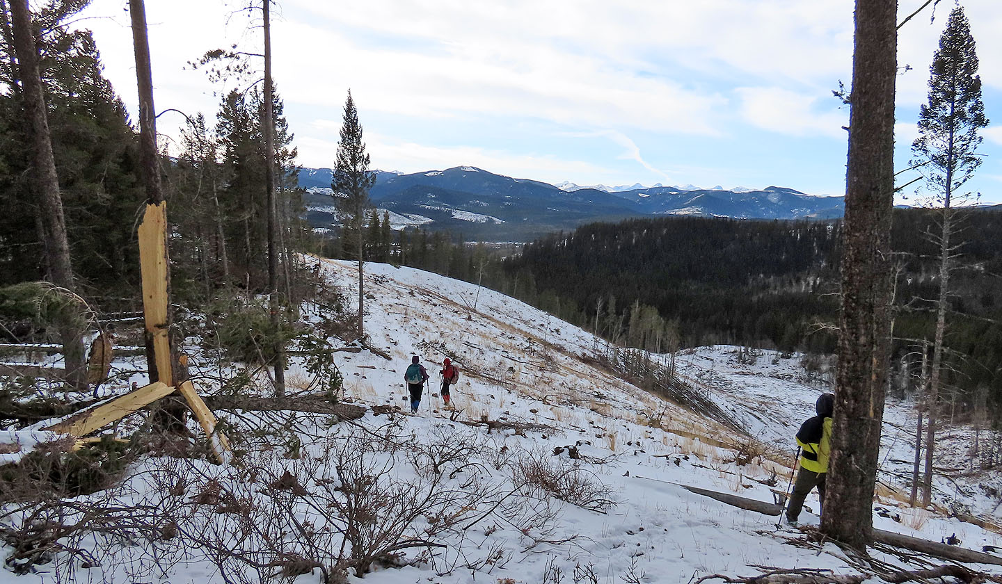
There's a stretch of deadfall below the summit
An arrow points to the summit
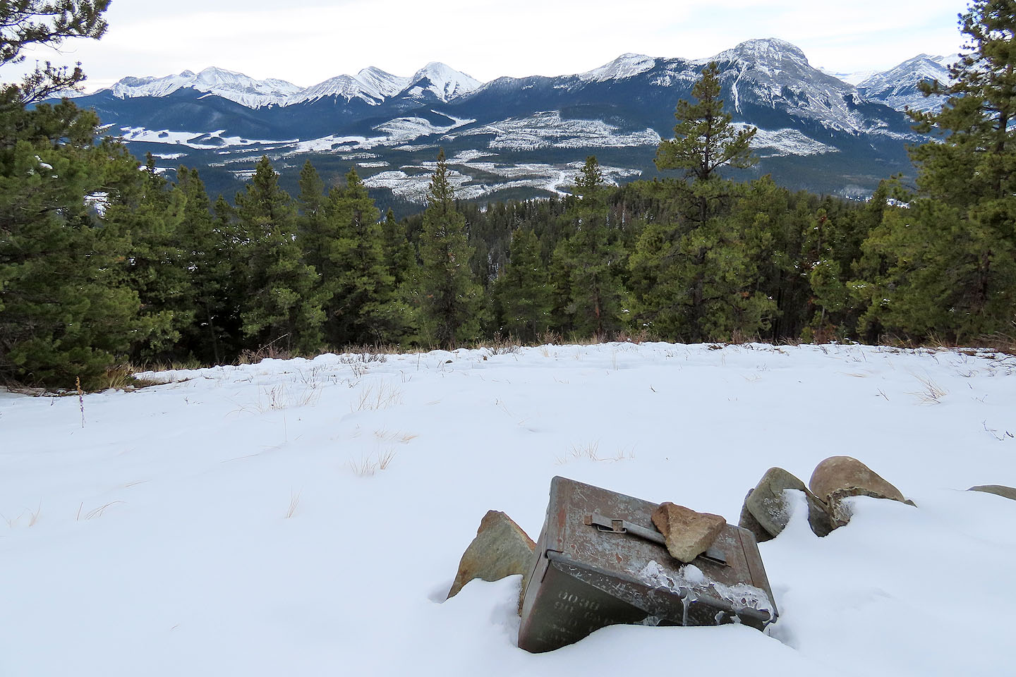
There's even a summit register

On Horton Hill, displaying Tim Horton's brand
82 O/3 Canmore
Zepplin Hill
Kananaskis, Alberta
February 26, 2022
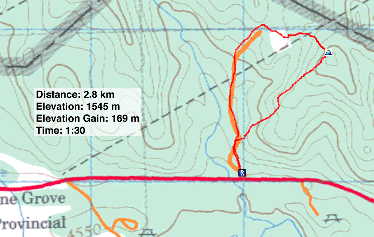
Distance: 2.8 km (1.7 mi)
Cumulative Elevation Gain: 186 m (610 m)
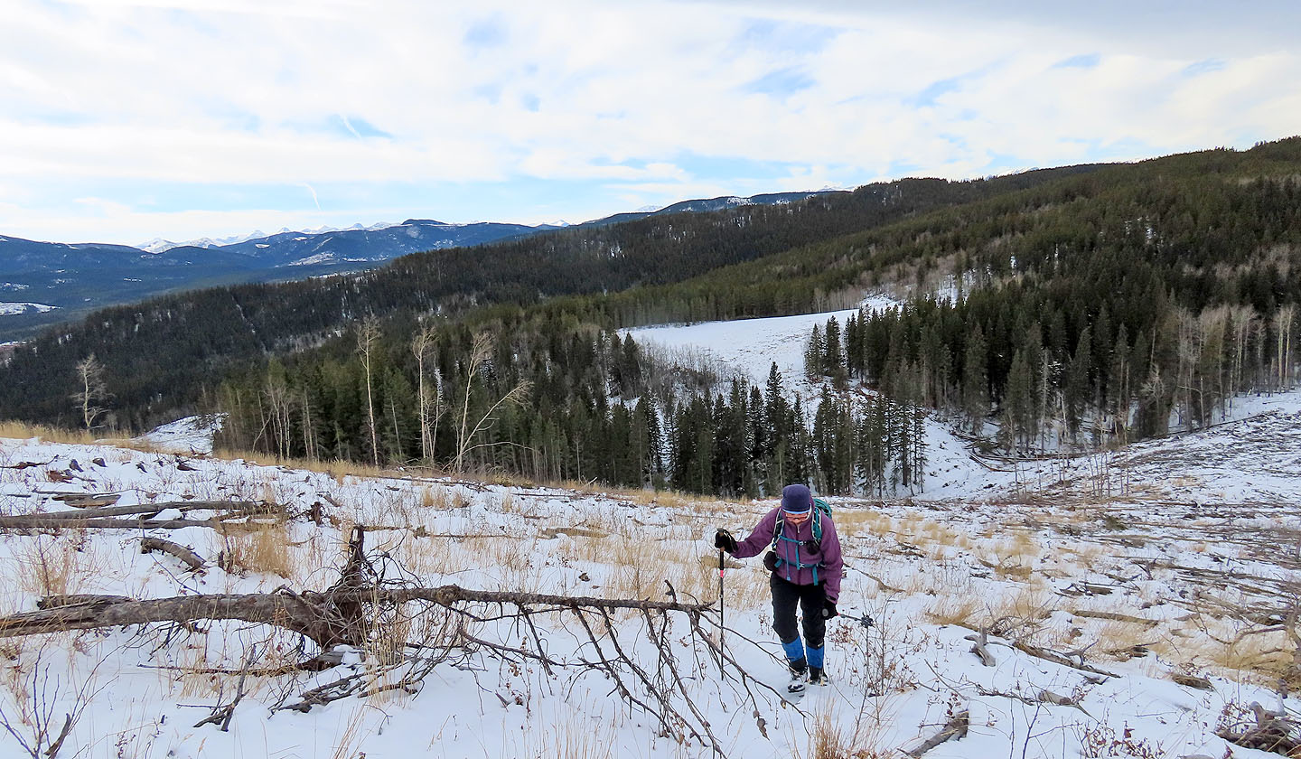
Despite its diminutive stature, Zepplin Hill offers far-ranging views thanks to clearcuts. A skid trail reaching logging areas serves access to the hill. Sonny, Zosia, Dinah and I parked a kilometre east of Pinegrove Provincial Recreation Area on Highway 68 and started up the trail.
After a kilometre, the trail turns east and ends at a glade. From there, Zepplin Hill appeared ahead, a rounded bump dusted with snow. Despite the low perch, views from the half-bare summit were satisfying and far-ranging. After looking around, we continued south along the ridge. For a brief stretch, we enjoyed a pristine landscape before returning to terrain marred by slash, i.e., debris from logging. We then returned to the skid trail and our cars. Zepplin is too short as a stand-alone hike but proved to be an enjoyable adjunct after hiking up Horton Hill.
Starting from the roadside
We soon passed the end of the ridge. On our descent, we came down the slope on the right.
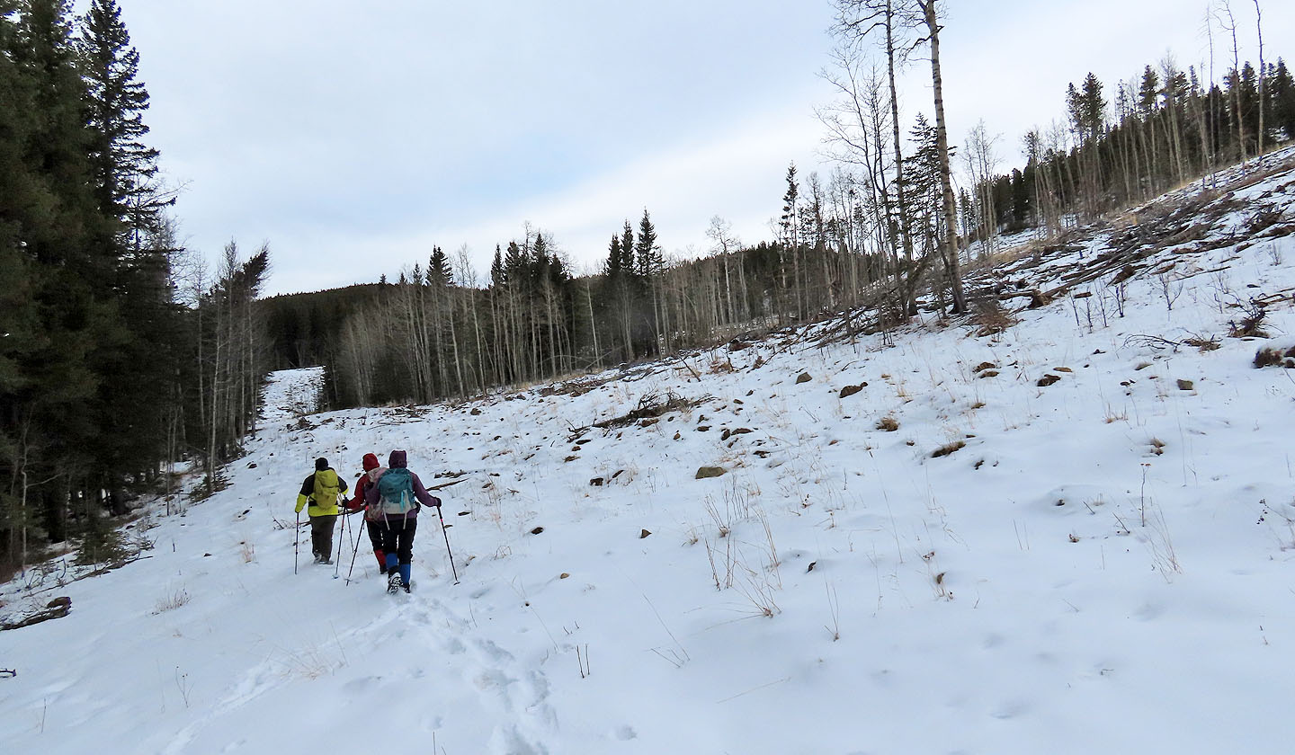
We continued up the skid trail
The trail bends right before it ends
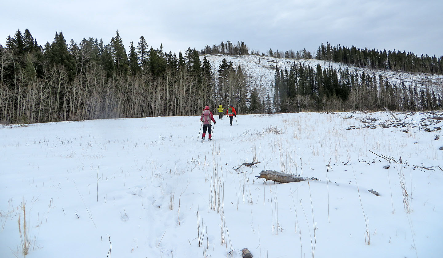
The trail ends at a large clearing. Zepplin Hill ahead.
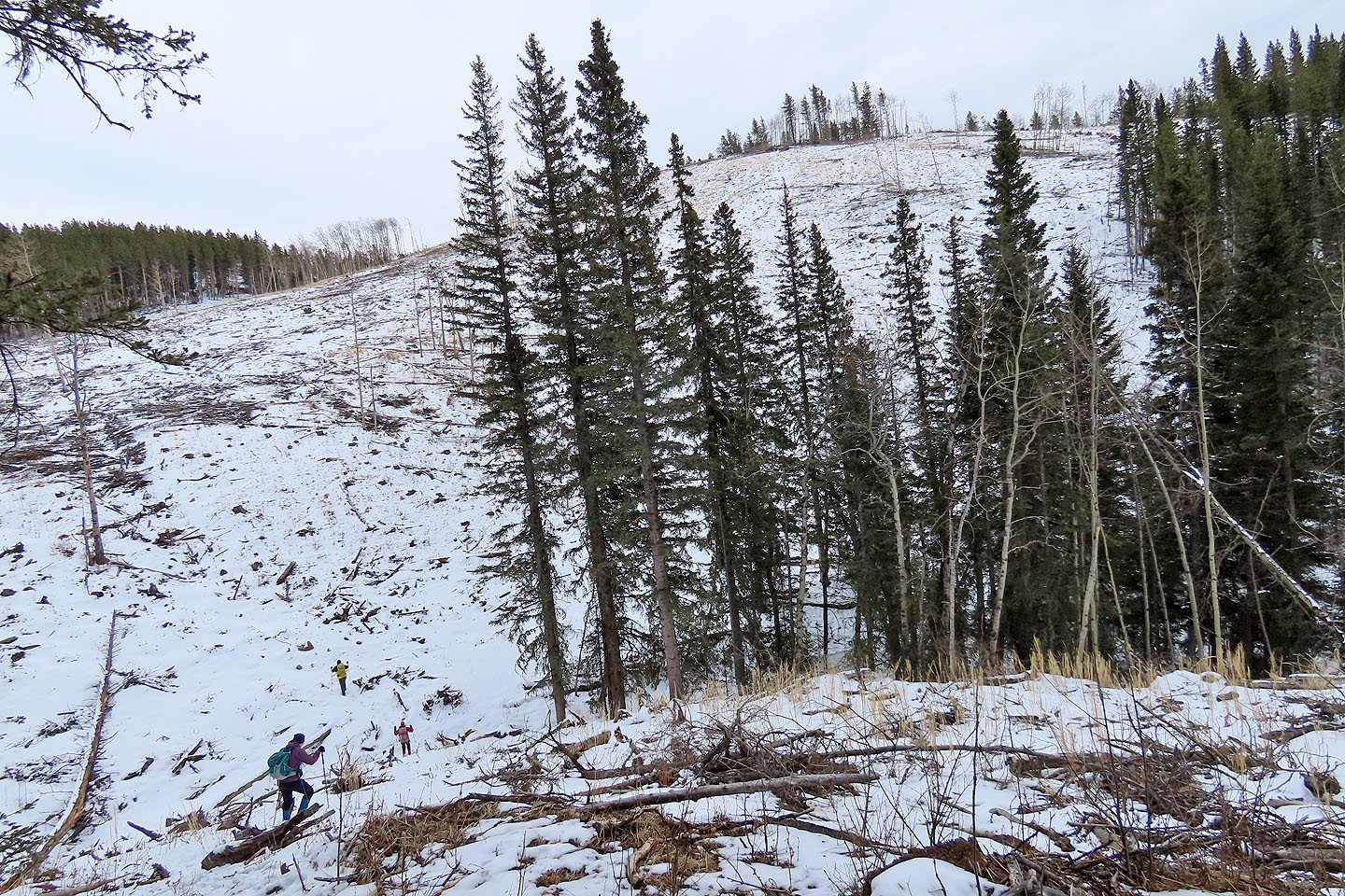
There's a slight drop before we ascend the hill
Looking back after hiking partway up the hill
Standing on the summit
We followed the ridge back
Cox Hill in the centre
82 O/2 Jumpingpound