bobspirko.ca | Home | Canada Trips | US Trips | Hiking | Snowshoeing | MAP | About
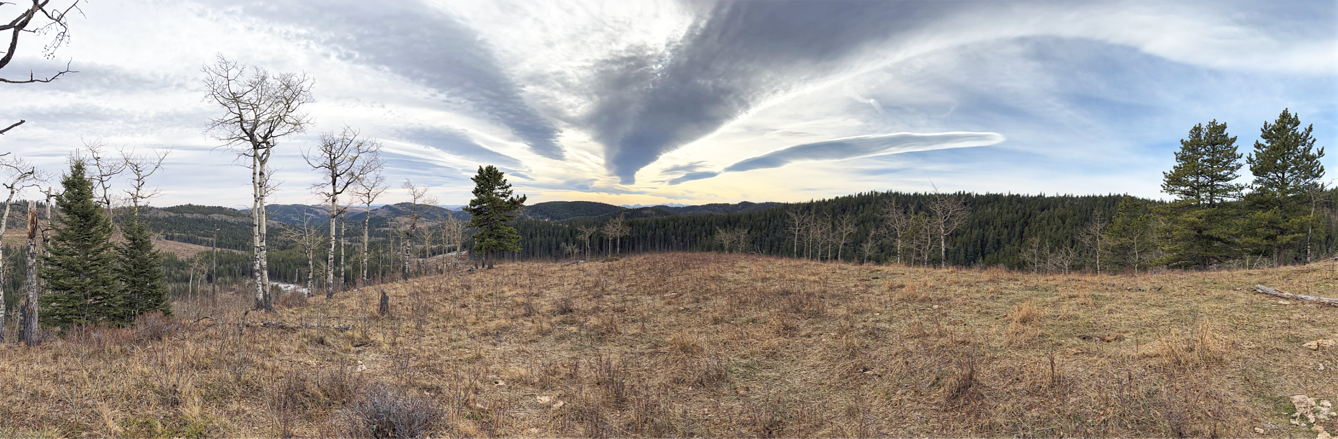
Chakotoks Ridge
Kananaskis, Alberta
November 12, 2026
Distance: 7.5 km ( 4.7 mi)
Cumulative Elevation Gain: 274 m (899 ft)
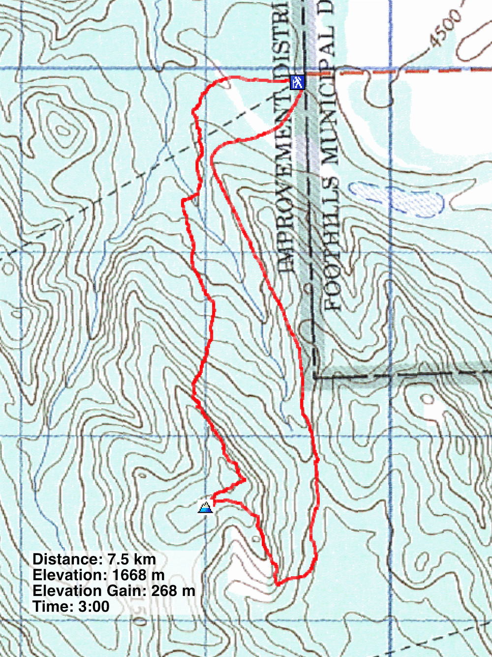
I had my eye on Chakotoks Ridge for a time since seeing it on Peakery,com. It’s a short hike and a short drive from Diamond Valley. I used Sonny’s loop, but made a quicker trip by taking shortcuts and omitting the unnamed knob that he tacked on. Chakotoks is a portmanteau of nearby Channel Ridge and Okotoks Mountain.
From the parking lot at the end of 482 Avenue, I headed west, down the trail (I returned to the parking lot from the south trail). After crossing an extensive muddy section, fortunately frozen, I turned left and started down a skid trail. Covered in slash, it wasn’t easy to negotiate nor were the forest edges better. So when the trail turned right, I abandoned it and continued ahead, across a large meadow. At the end of the meadow, I turned right and bushwhacked back to the skid trail. It wasn’t shorter, but the meadow was a welcomed relief from the debris-covered trail.
I stayed on the trail until I reached the open slope on my right. I angled up the slope, entered the forest and hiked to the ridgetop. I followed the ridge – a mix of trees, bushes, deadfall and small glades – to a highpoint where a ridge branches. The summit, a viewless bump, was a short distance away on the ridge on my right.
After summiting, the nature of the route changed. The ascent was mostly unpleasant, whereas the descent was delightful, a pleasant ridgewalk followed by a fine trail back to the parking lot.
I returned to the main ridge, angling down to reach it further along. I descended the ridge through thin trees that gave way to a meadow. I paused at a viewpoint before dropping down to the valley on my left. After a brief bushwhack, I hit the valley trail. I followed it to a short connector to the Okonnel Ridge descent trail. I enjoyed the long walk back through light trees and long meadows.
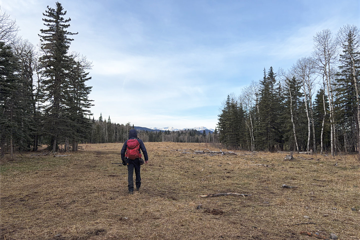 Starting up the trail
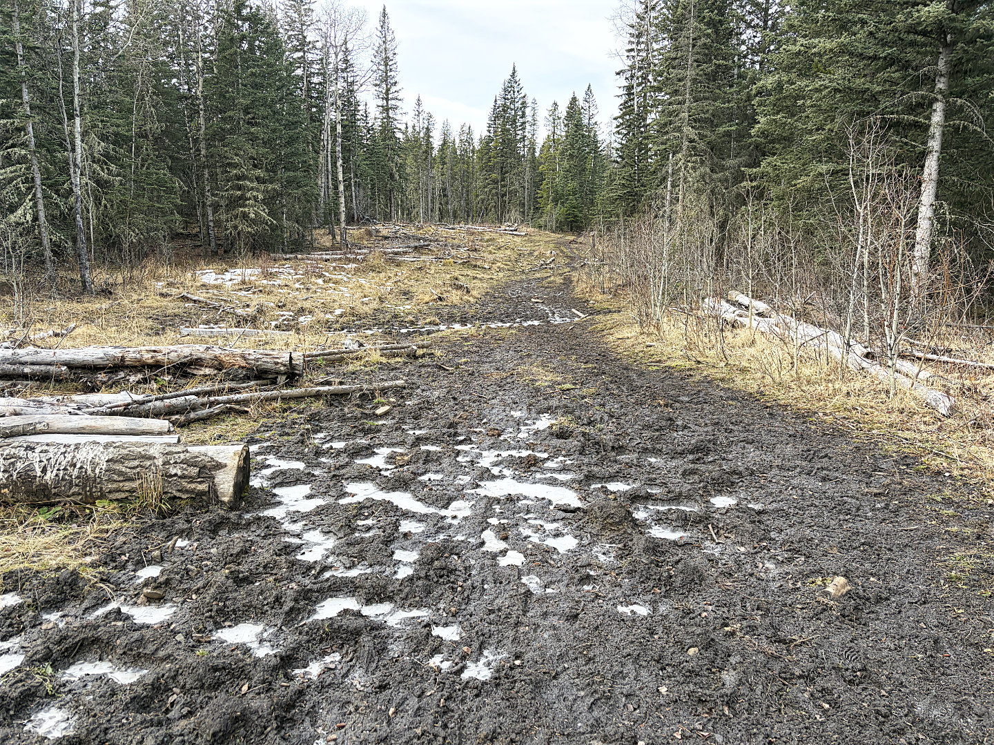 I've always found this trail section
muddy, but today it was frozen. I turned left soon after this.
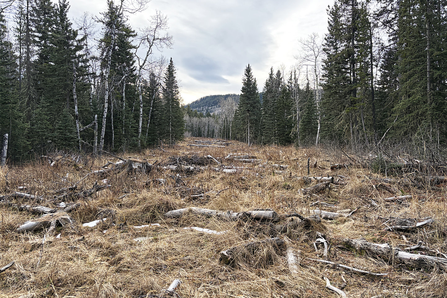 The hike up the skid trail was generally
miserable. Chakotoks Ridge appears ahead.
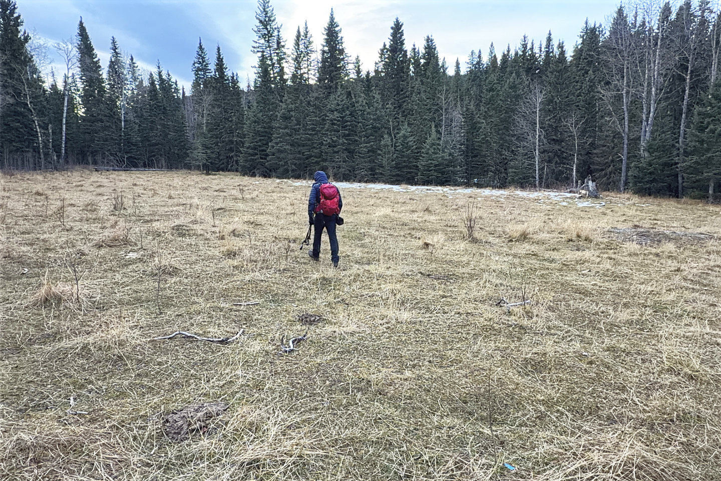 I diverged from the trail, crossed a field and
entered the forest
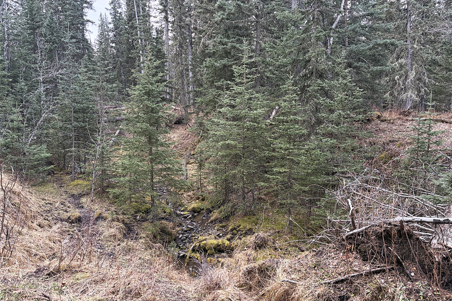 Other than a creek crossing, the bushwhacking
was unremarkable
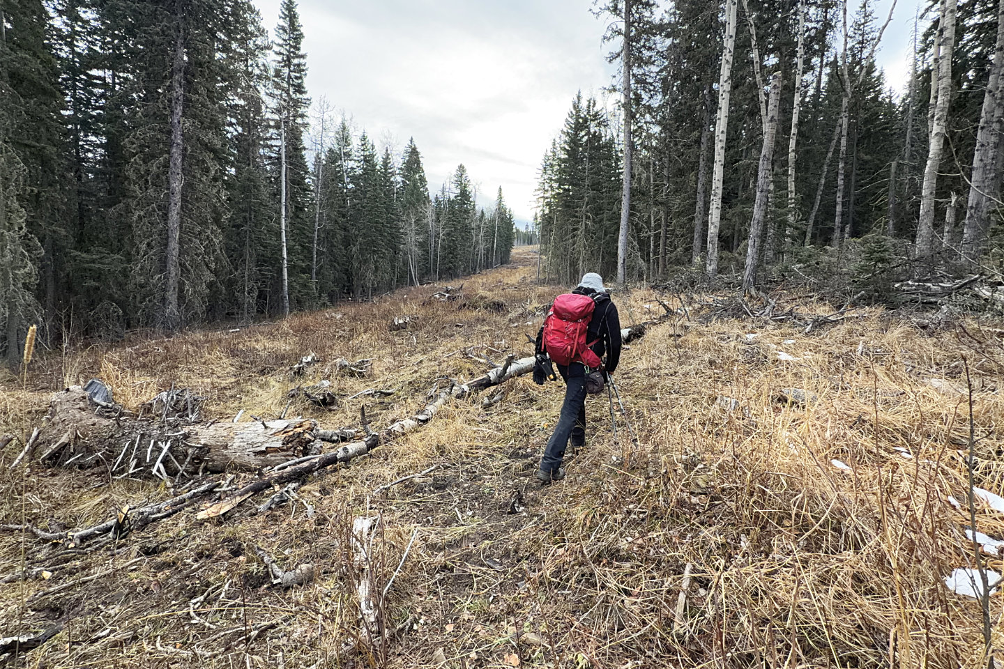 Back on the trail
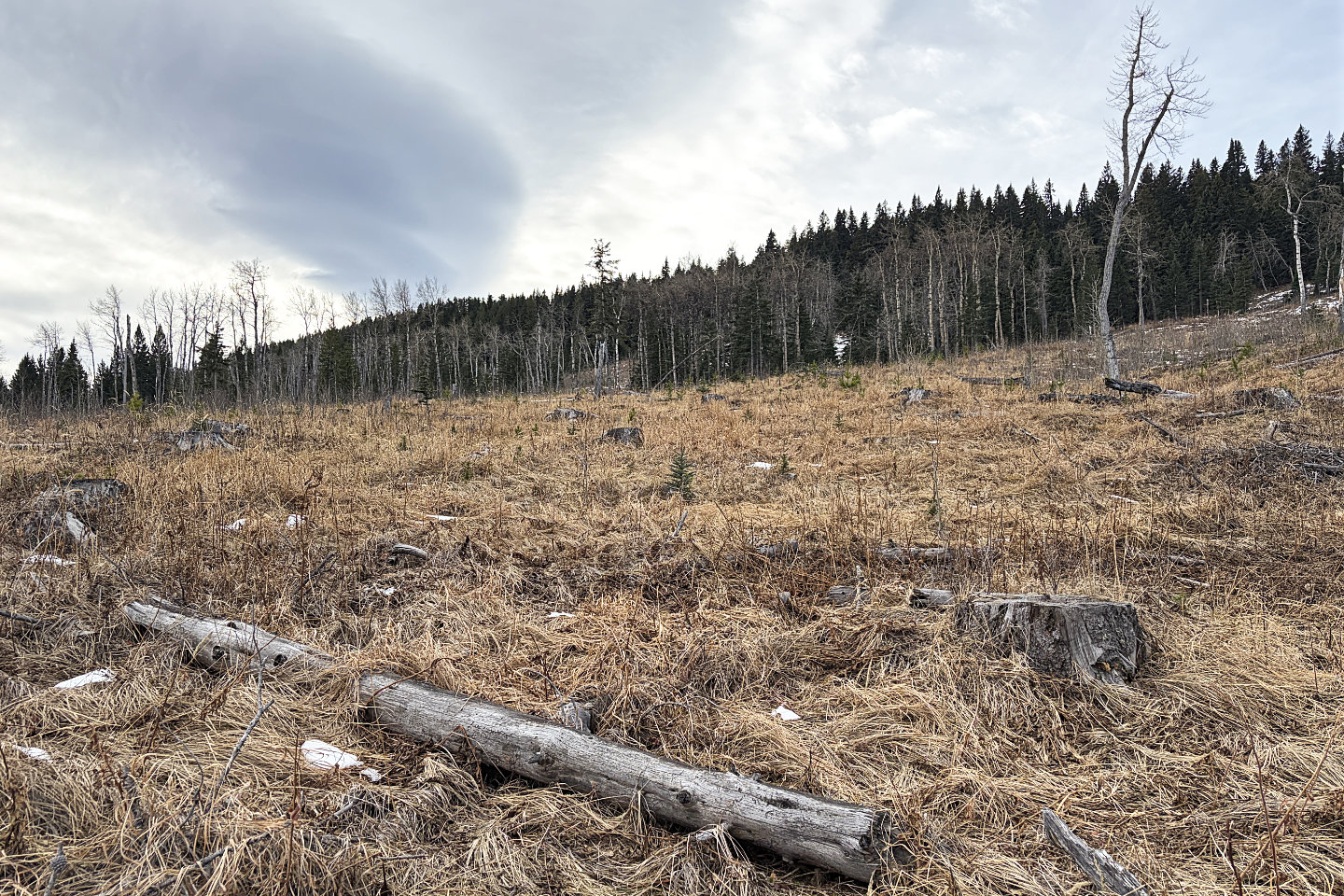 Sonny took a sharp right here, but I angled up,
to the snow-covered clearing in the trees
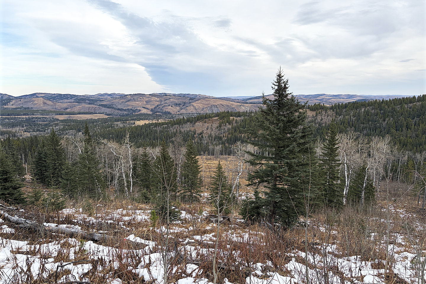 Looking back before entering the trees. High Noon Hills are left.
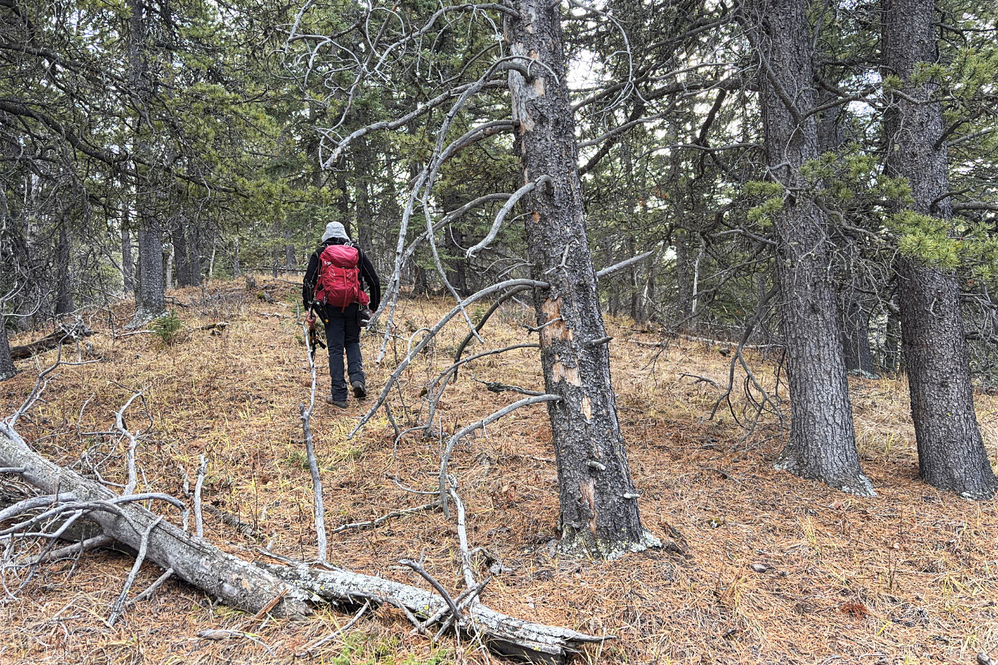 On the ridge
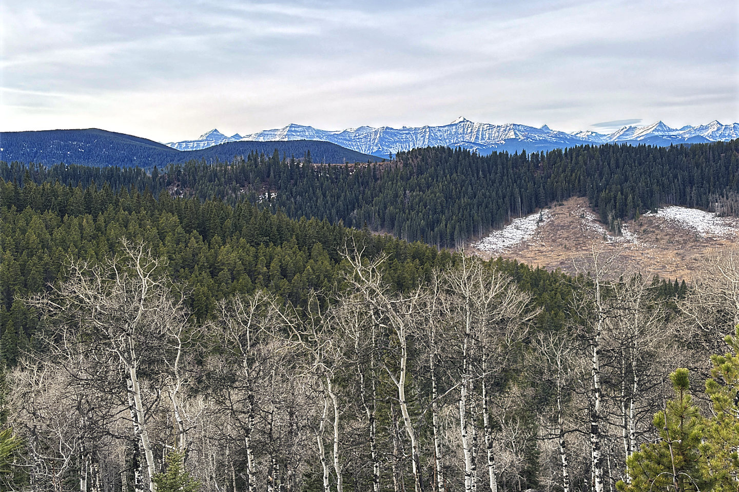 The ridge with a clearing is Channell Ridge
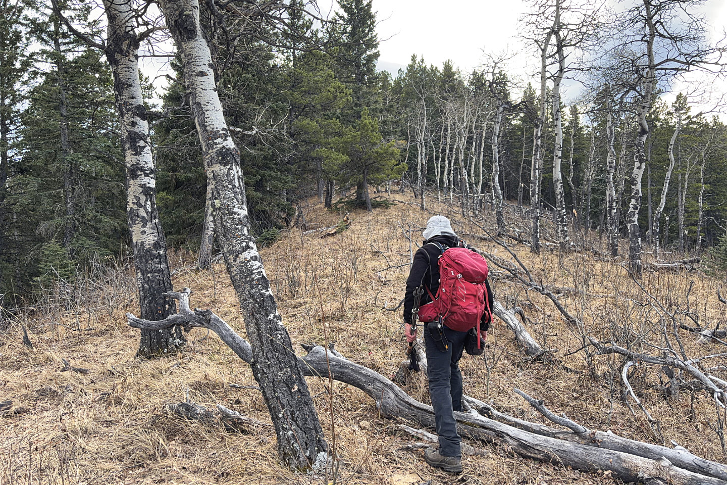 Continuing along the ridge
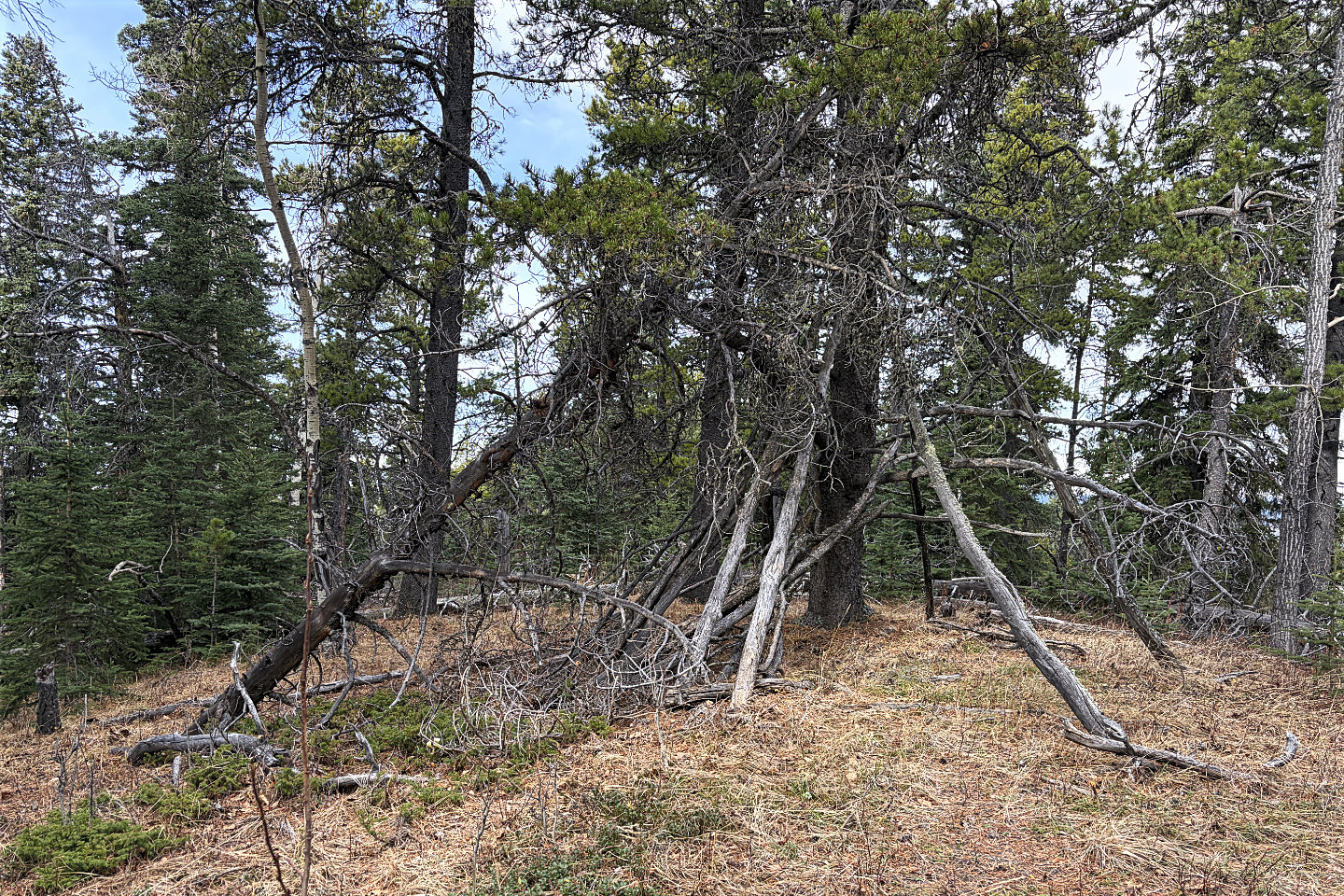 A flimsy shelter marks a high point
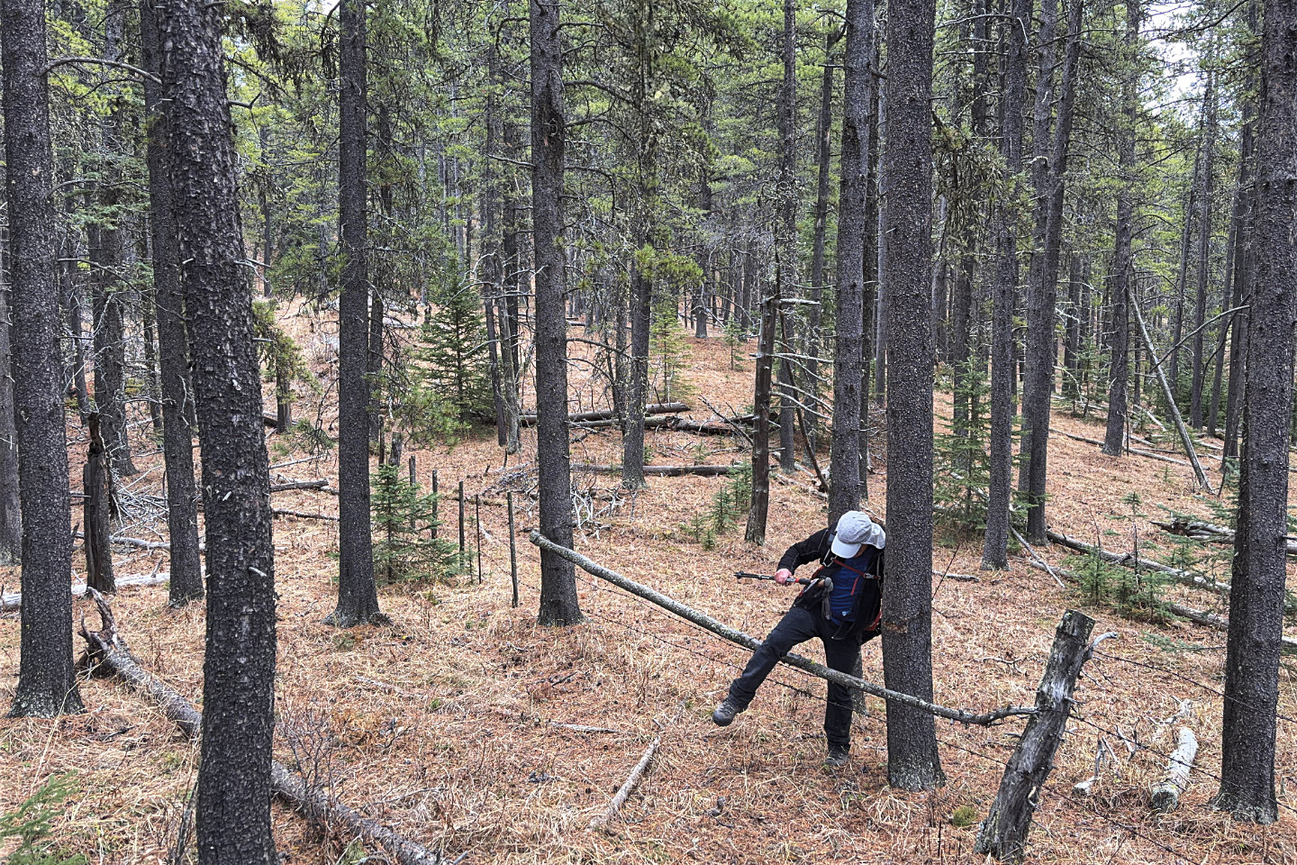 On the way to the summit, I stepped over a barb
wire fence
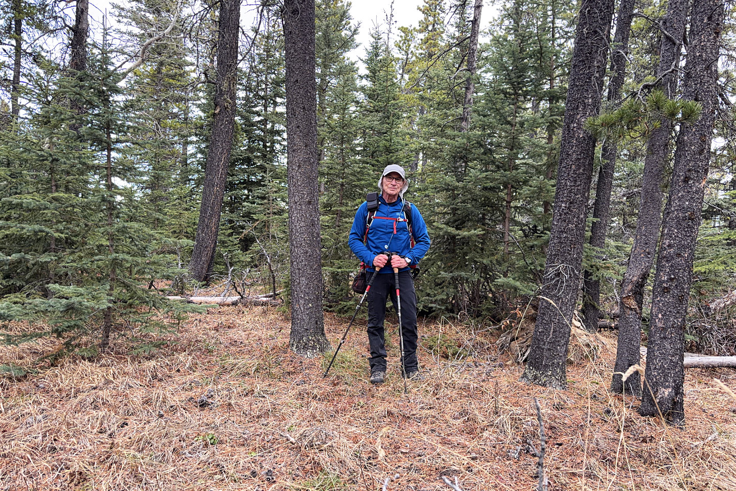 The summit is a featureless, viewless bump
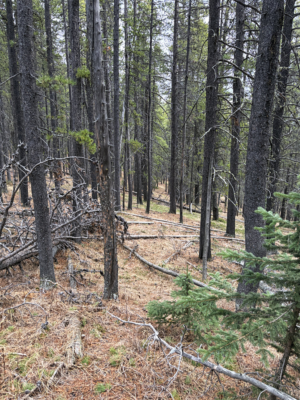
I made my way back to the main ridge
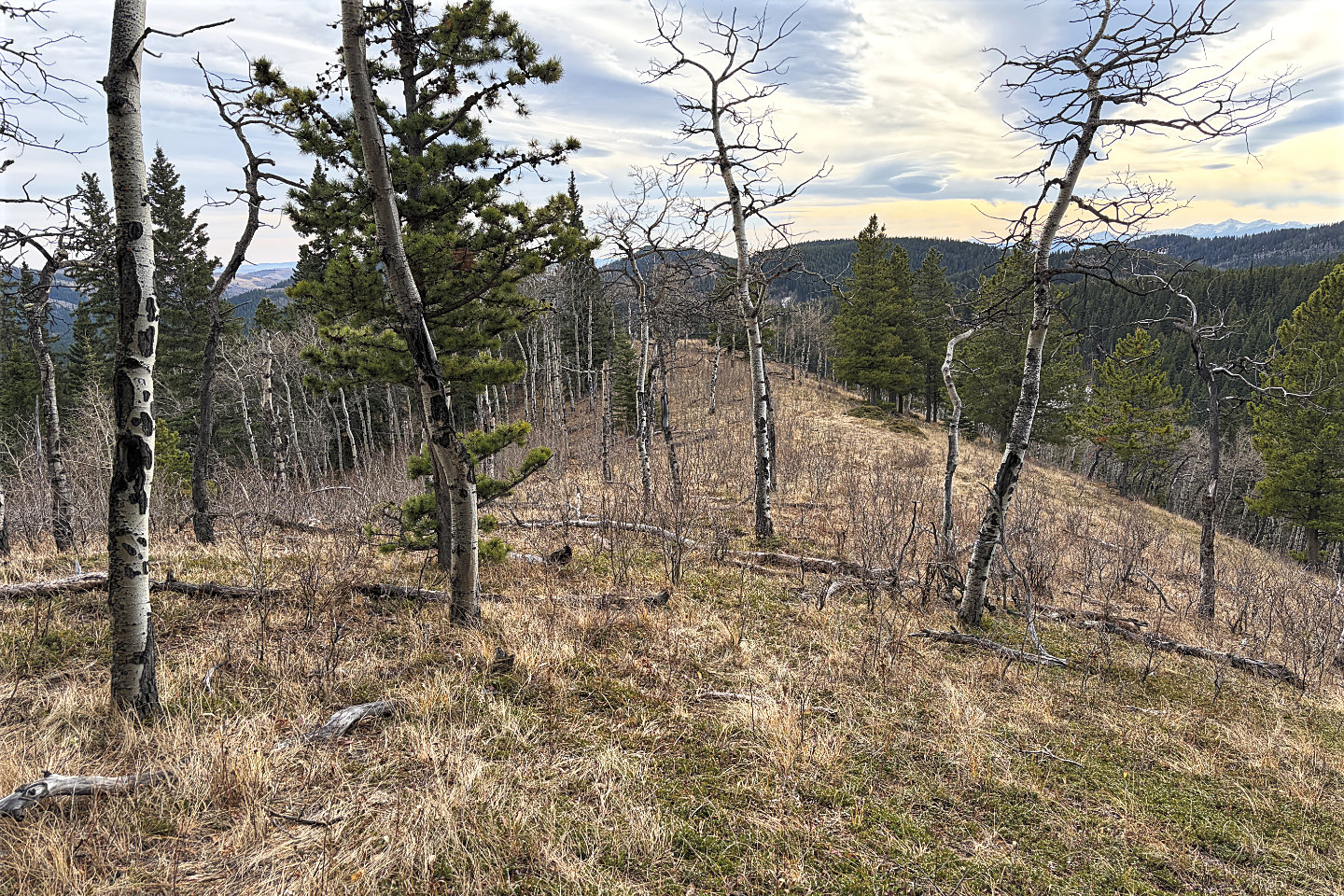 I walked down the ridge
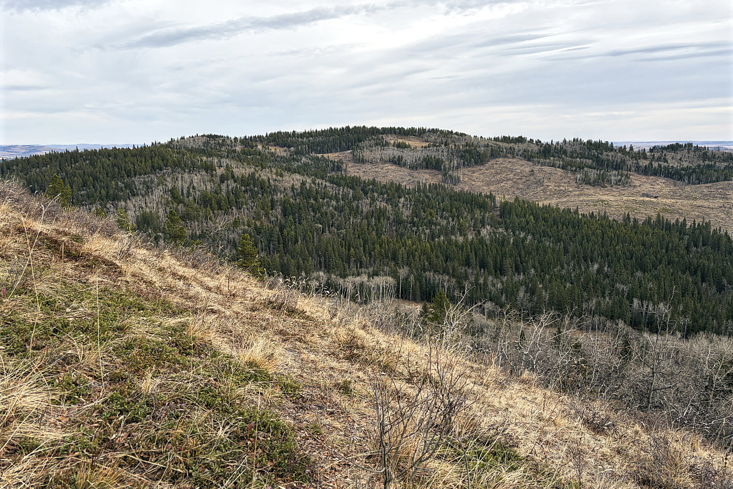
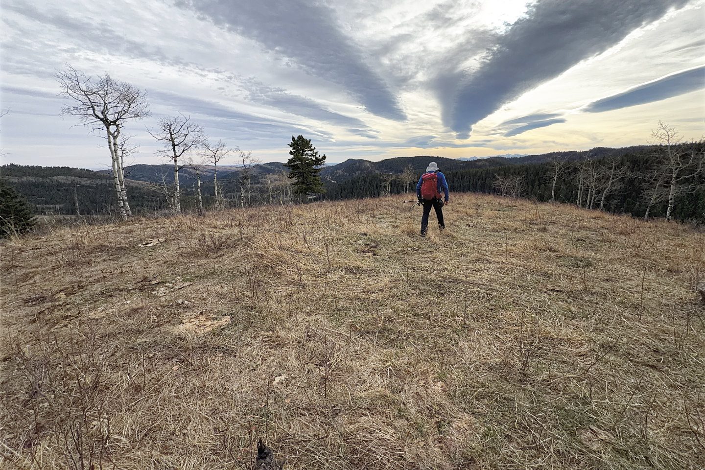 The best views of the trip were at the end of
the ridge
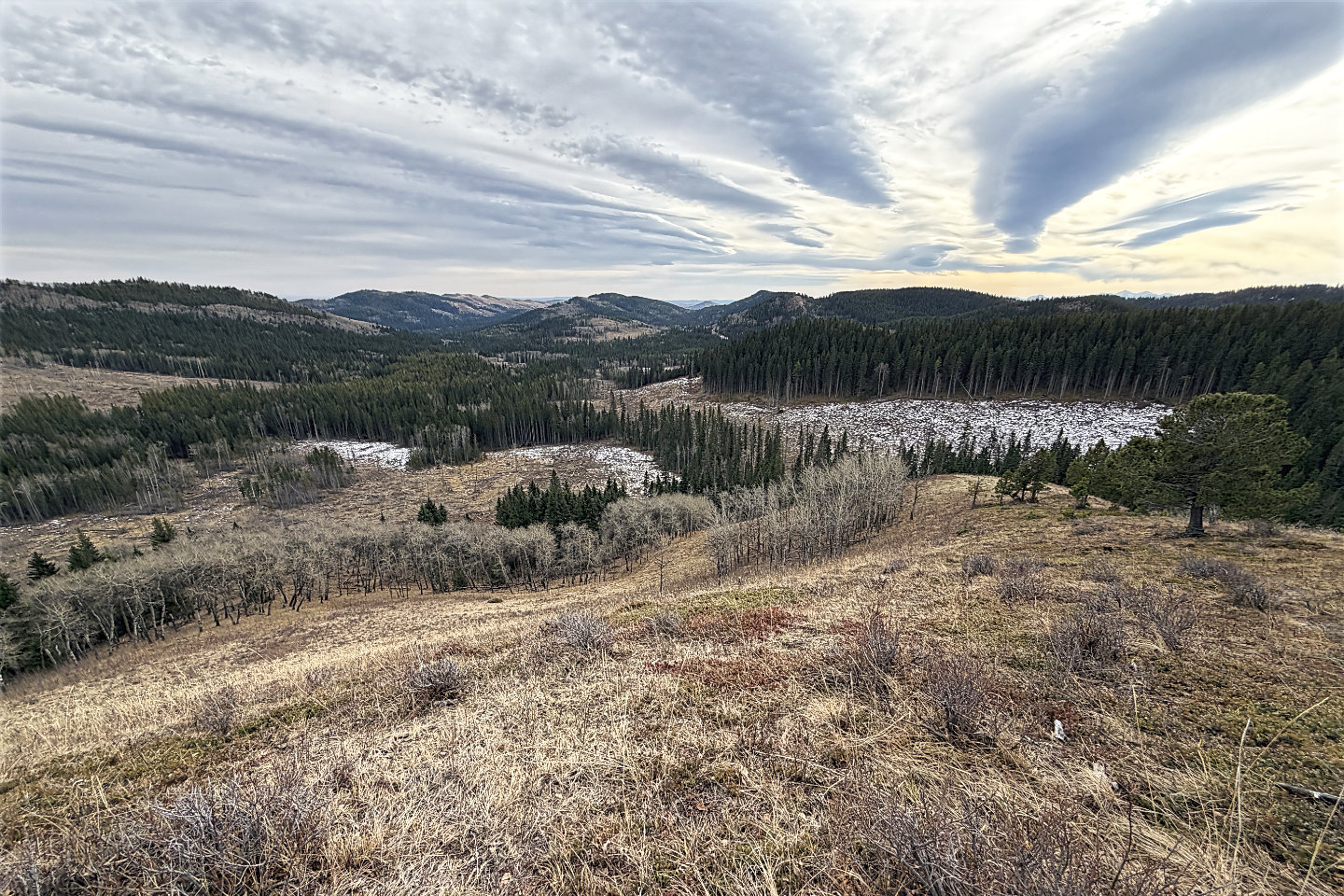 I continued down the ridge a short way before
turning left to drop down to the valley
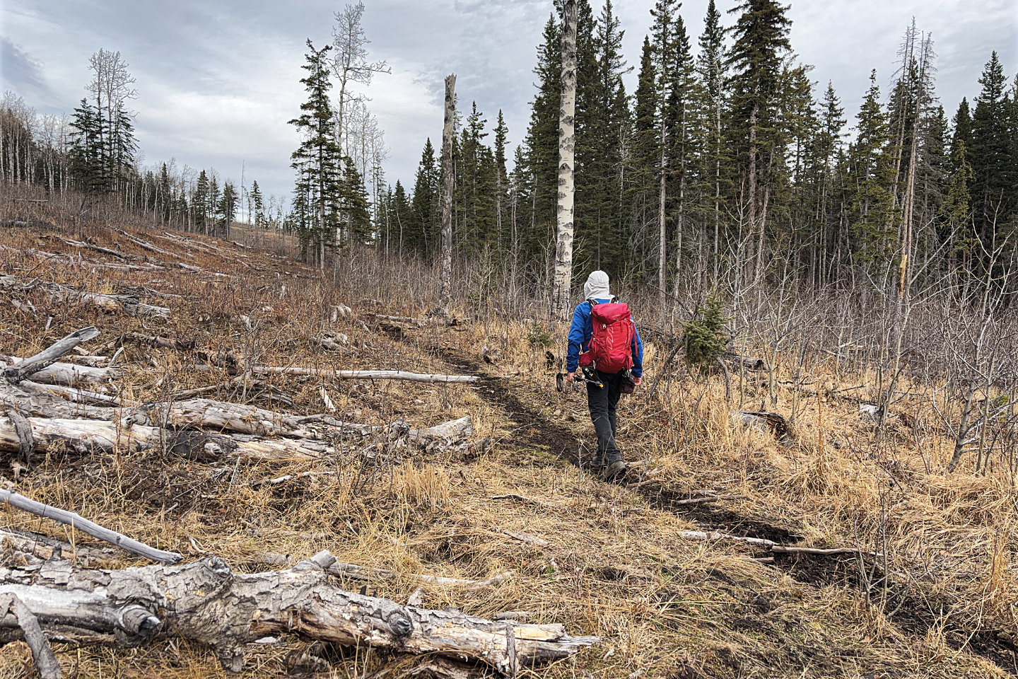 Hiking along the valley trail
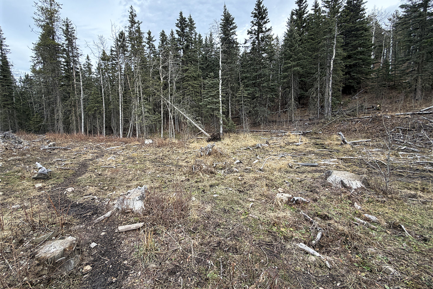 I left the valley trail here and got on the
Okonnel descent trail
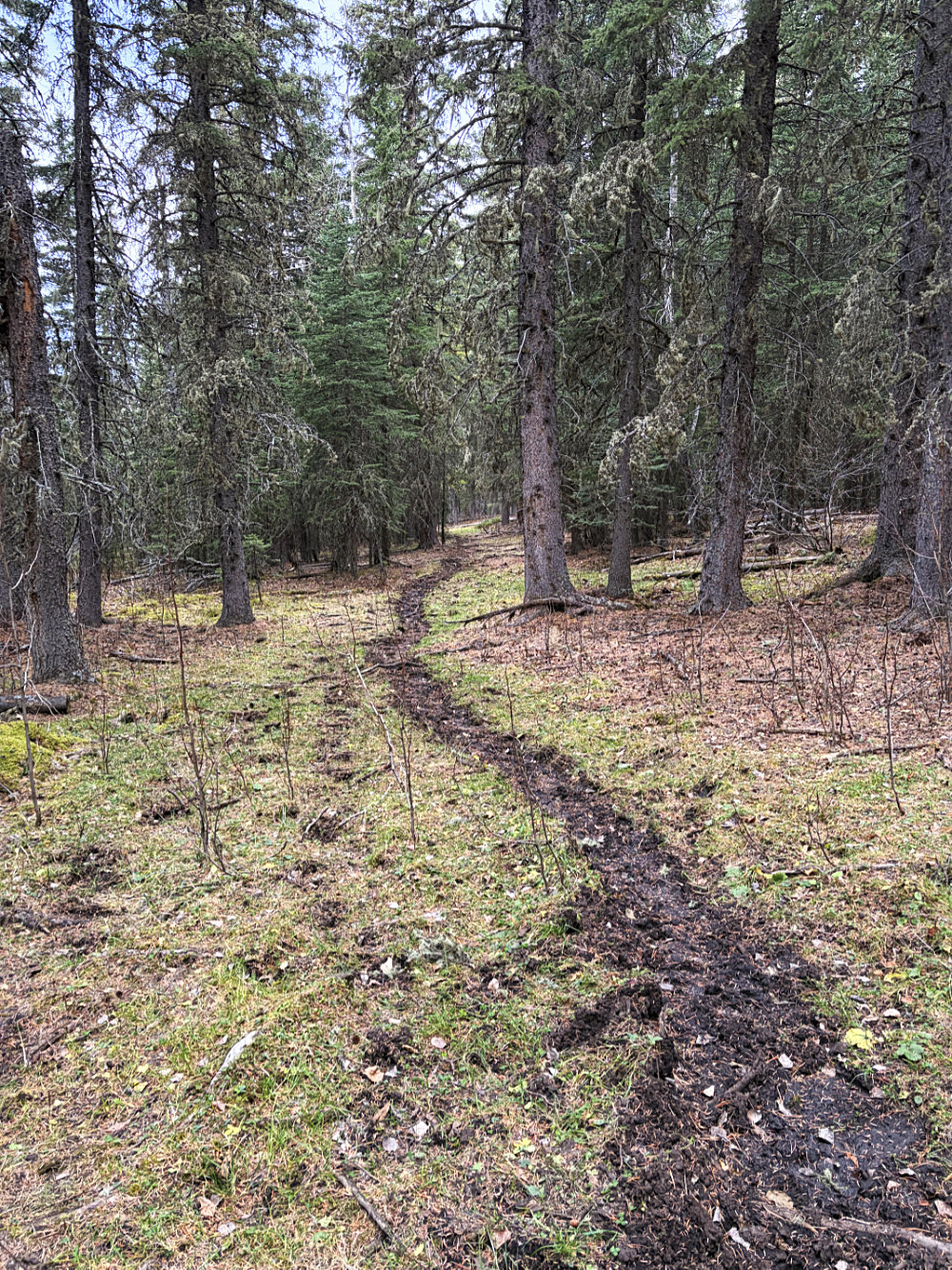
It began as a pleasant walk through the woods
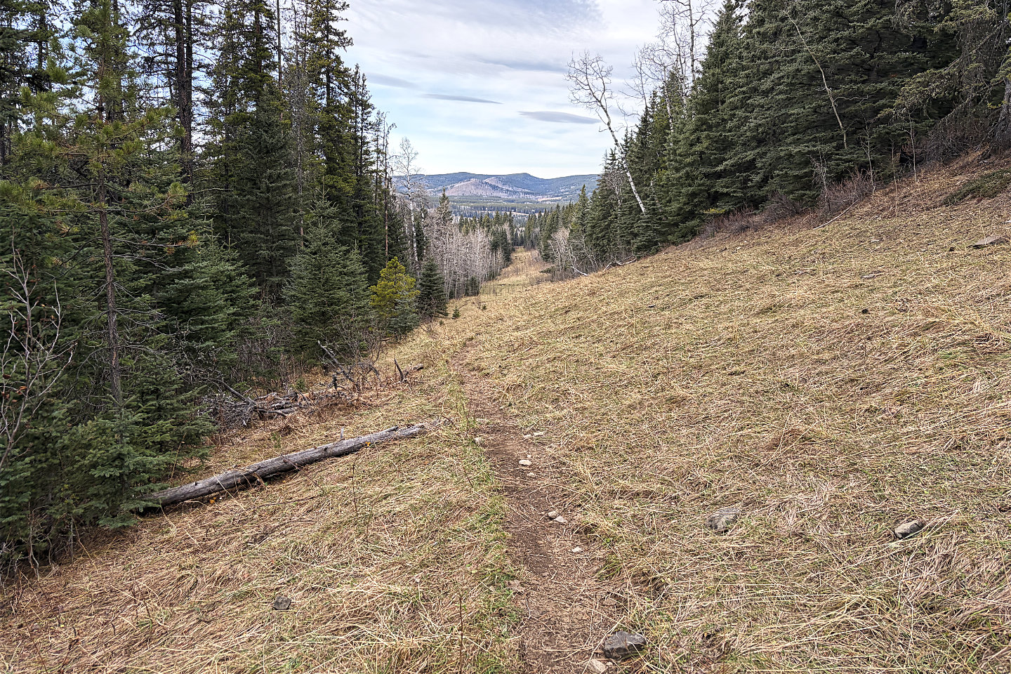 The last two kilometres were in the open
82 J/9 Turner Valley