bobspirko.ca | Home | Canada Trips | US Trips | Hiking | Snowshoeing | MAP | About
Cat Creek Hills (West Ridge Approach)
Kananaskis, Alberta
July 25, 2021
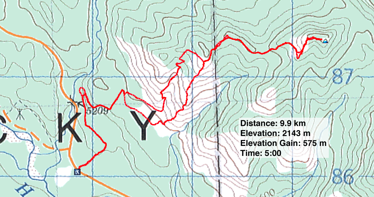
Distance: 9.9 km (6.2 mi)
Cumulative Elevation Gain: 648 m (2126 ft)
The West Ridge of Cat Creek Hills is one way to reach the highest hill, although I prefer the Southwest Ridge. Kananaskis Country Trail Guide touts the West Ridge as a trail hike, but we found the trails were overgrown in places and numerous junctions made routefinding difficult. The Hills isn't a top choice for the middle of summer, but since the pall of smoke from wildfires worsened farther west, we settled for a hopefully less smoky trip in the front range.
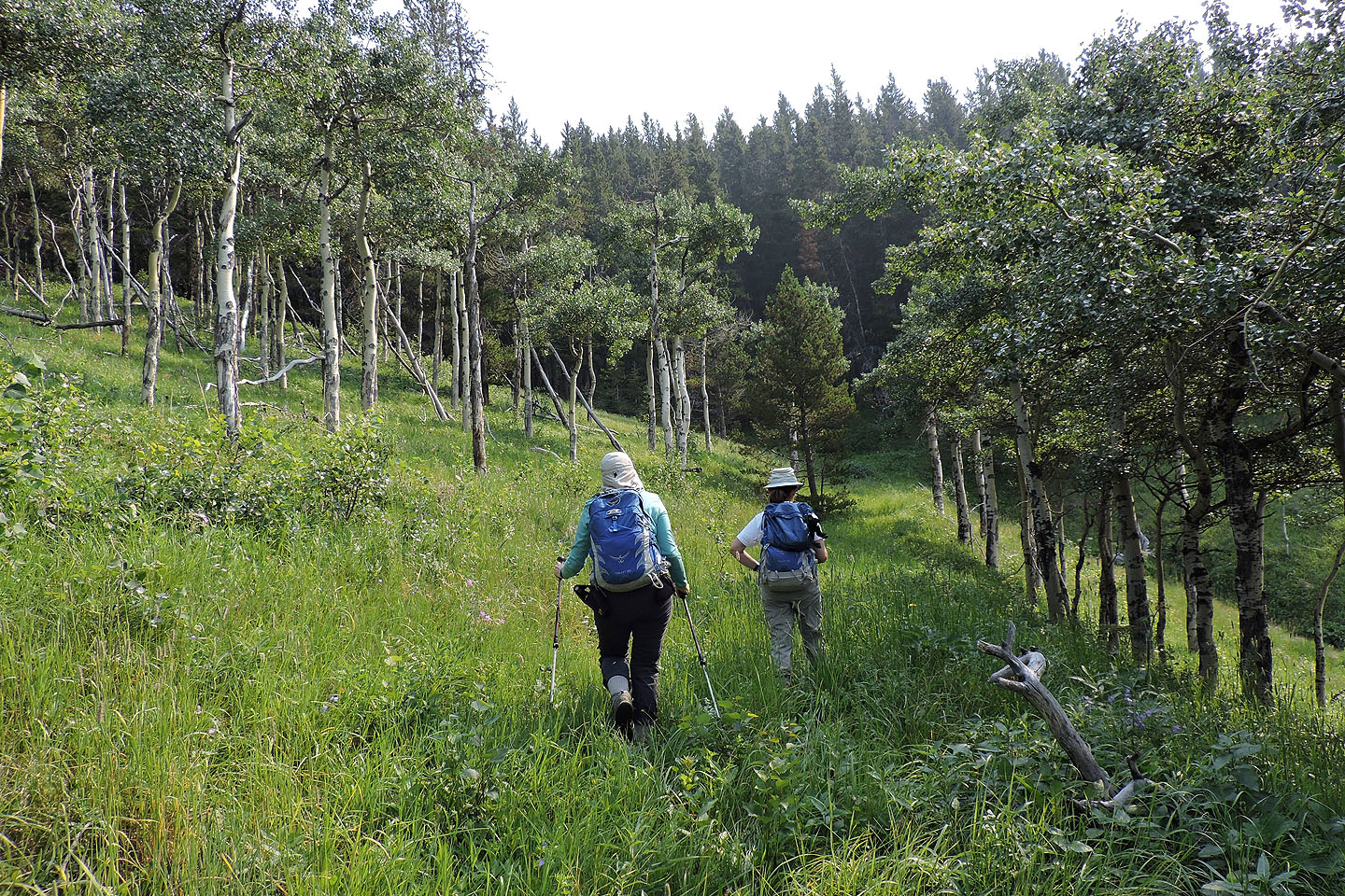
Zora, Dinah and I started up the old road that begins a couple of hundred metres south of Cat Creek day-use area. We followed the road as it zigzags up a steep slope before reaching a T-intersection. We turned right, southwest, and walked 40 m to a side trail marked with a cairn. The brief trail brought us to another old road where we again turned right.
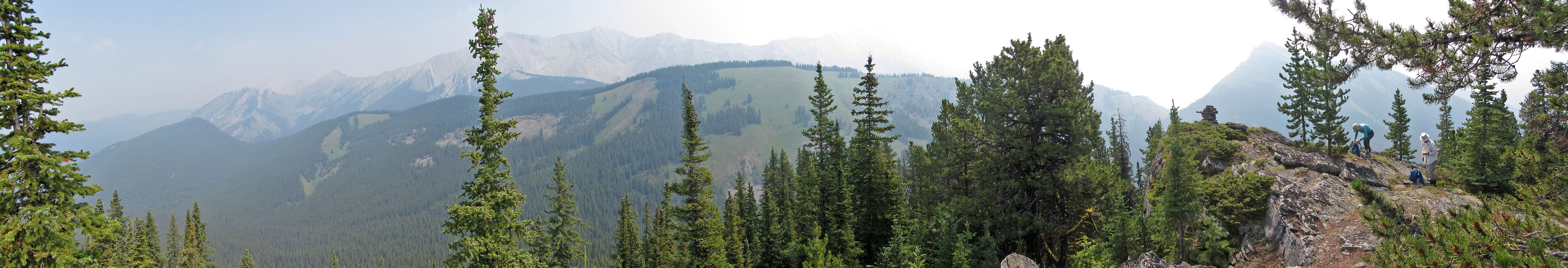
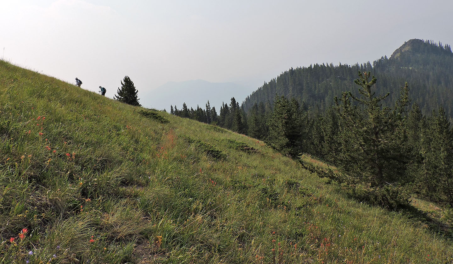
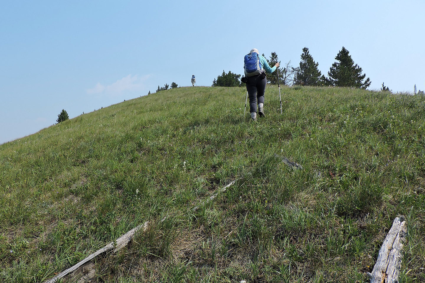
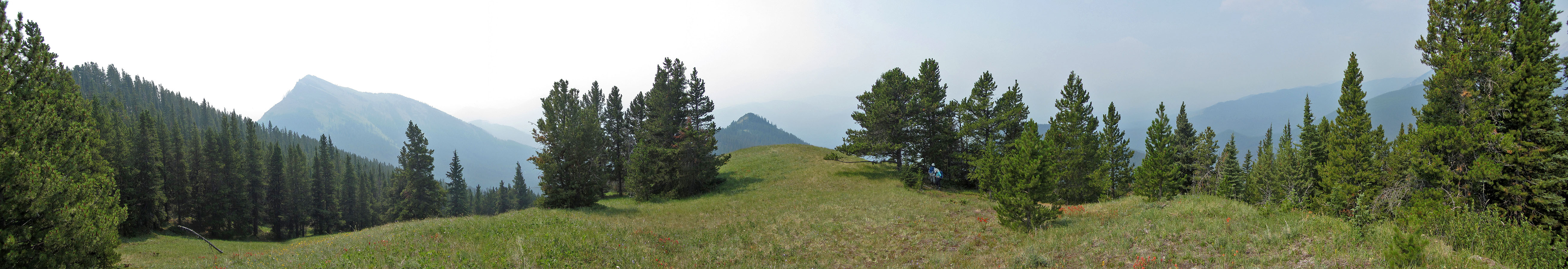
As we climbed, the road disappeared under dense vegetation. There was no trail at all when we turned into a narrow gully. We travelled a short way before ascending the steep, grassy slope on our left. Not to the ridge crest, mind you, but high enough to traverse to the old road that cuts into the slope. The road winds up the wooded west ridge. When the road disappears, an intermittent trail takes over. The trail vanishes on an open slope leaving a short hike to the false summit. This is the best vantage point of the hike, but a haze of smoke defeated the views; we could see few details beyond a couple of kilometres. The true summit is a few minutes more, but trees restrict the views.
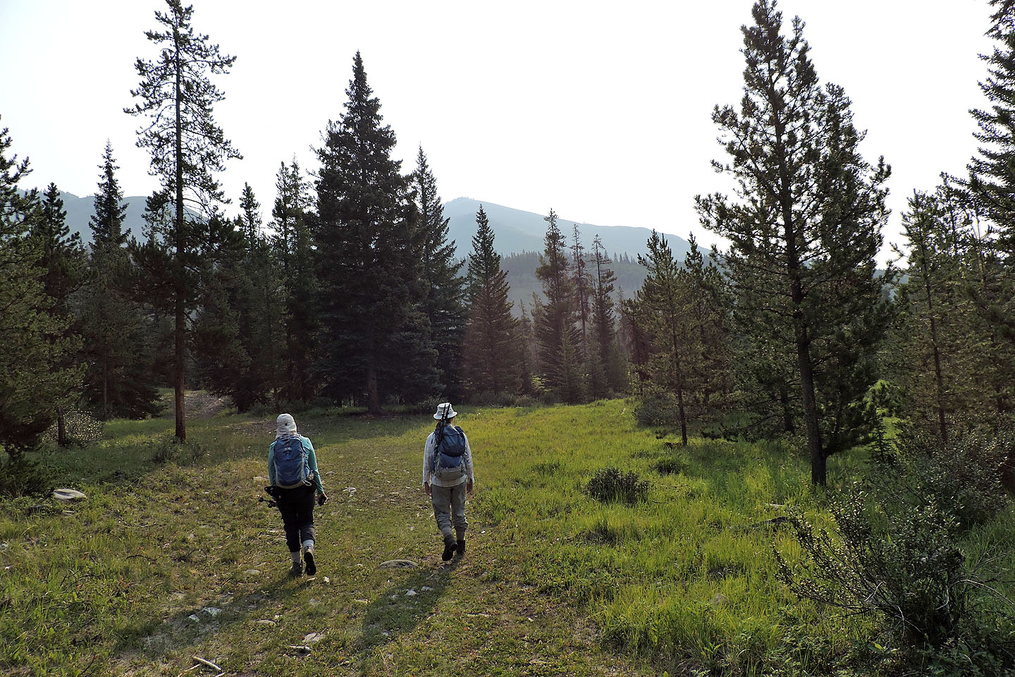
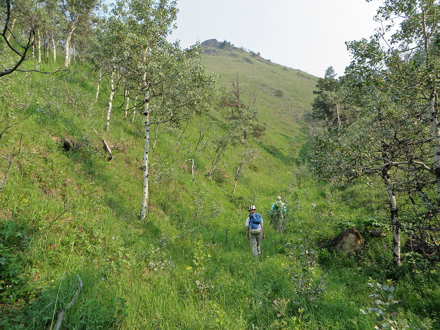
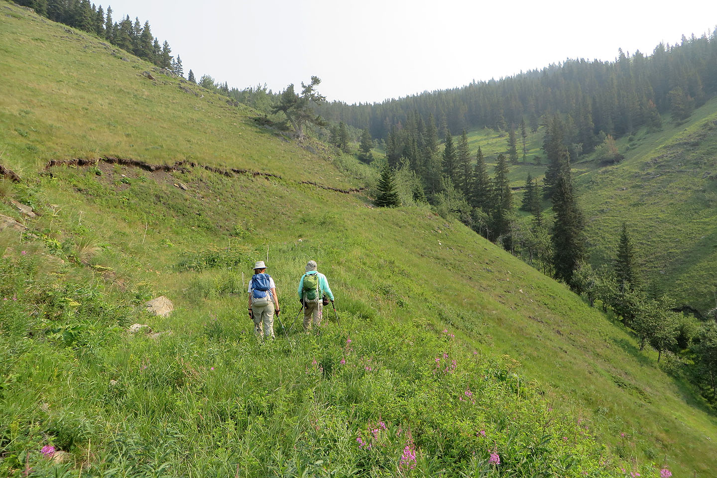
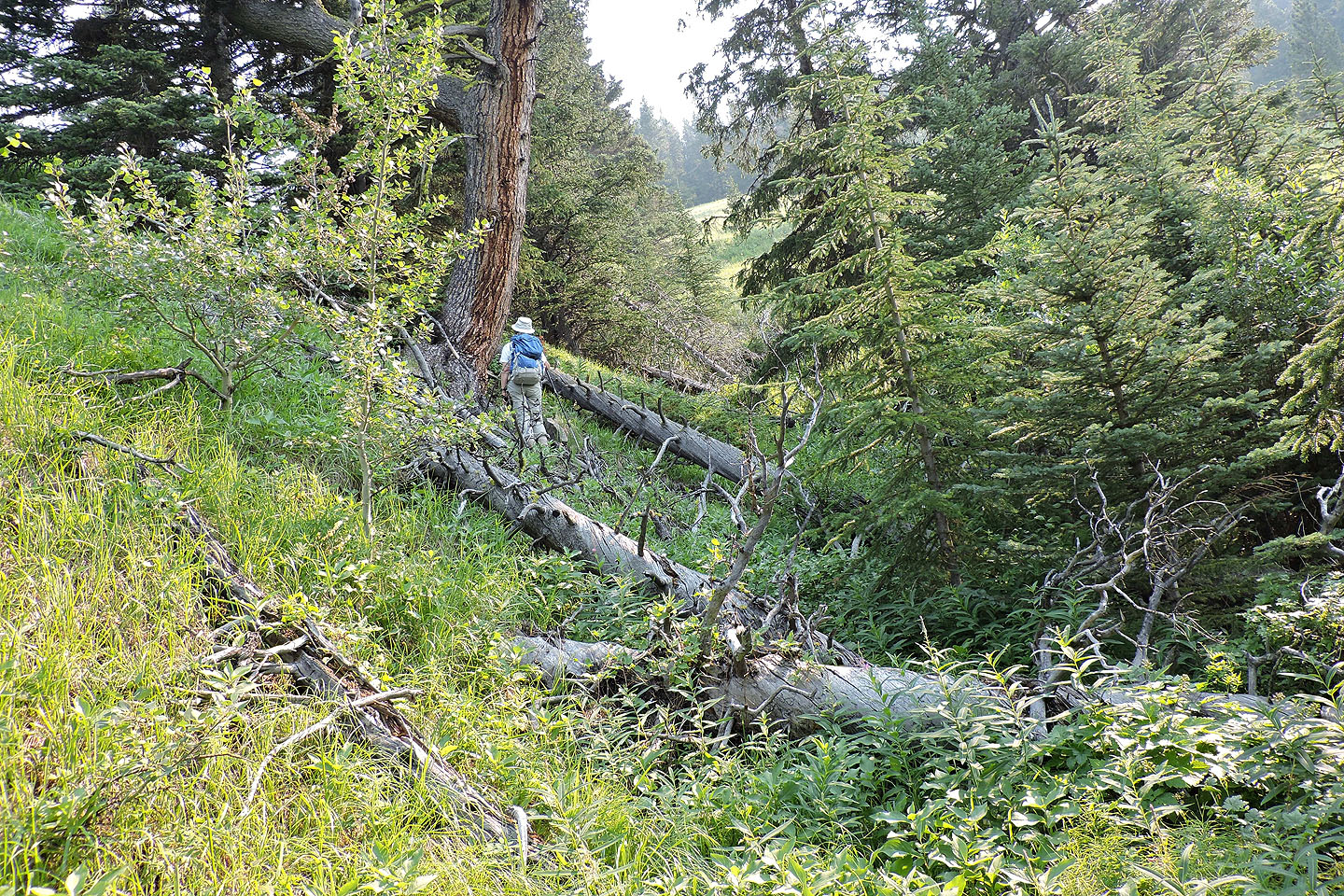
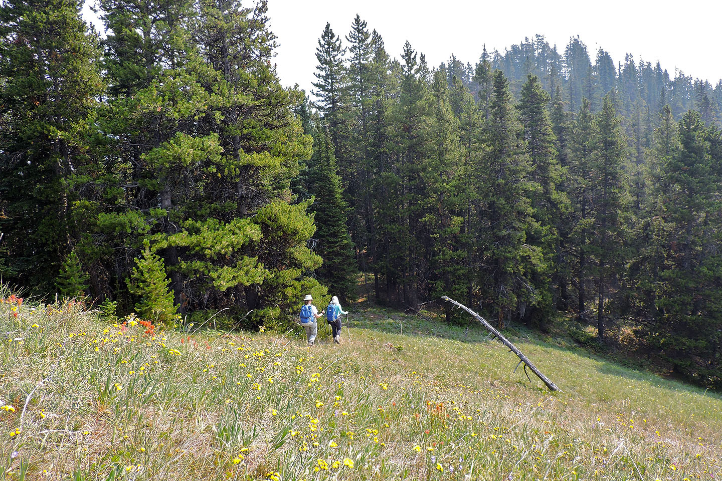
With the time spent in trees, I would have summed up this trip as pedestrian, except we came down a different way. While returning down the upper road, we paused on a grassy viewpoint to look down an inviting, meadowy ridge, a ridge that runs parallel to our ascent ridge where we first caught the upper road. We left the road and had an enjoyable hike down this open ridge. We encountered brief bushwhacking at the bottom before reaching a lovely valley meadow chock full of wildflowers. A faint trail led straight to the road we had been on earlier. Our descent ridge added much to our trip, and I highly recommend it.
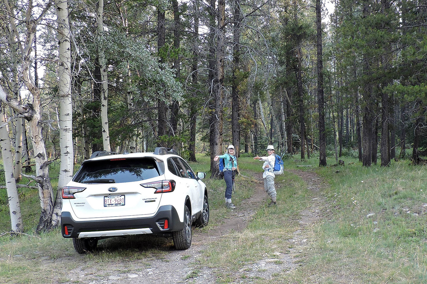
Dinah shows off her 2022 Subaru Outback at the trailhead
Cat Creek Hills soon appeared ahead
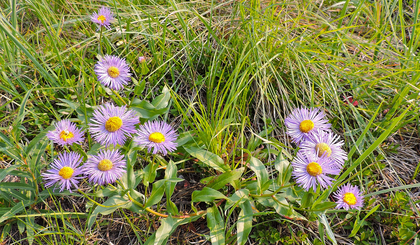
Purple fleabane
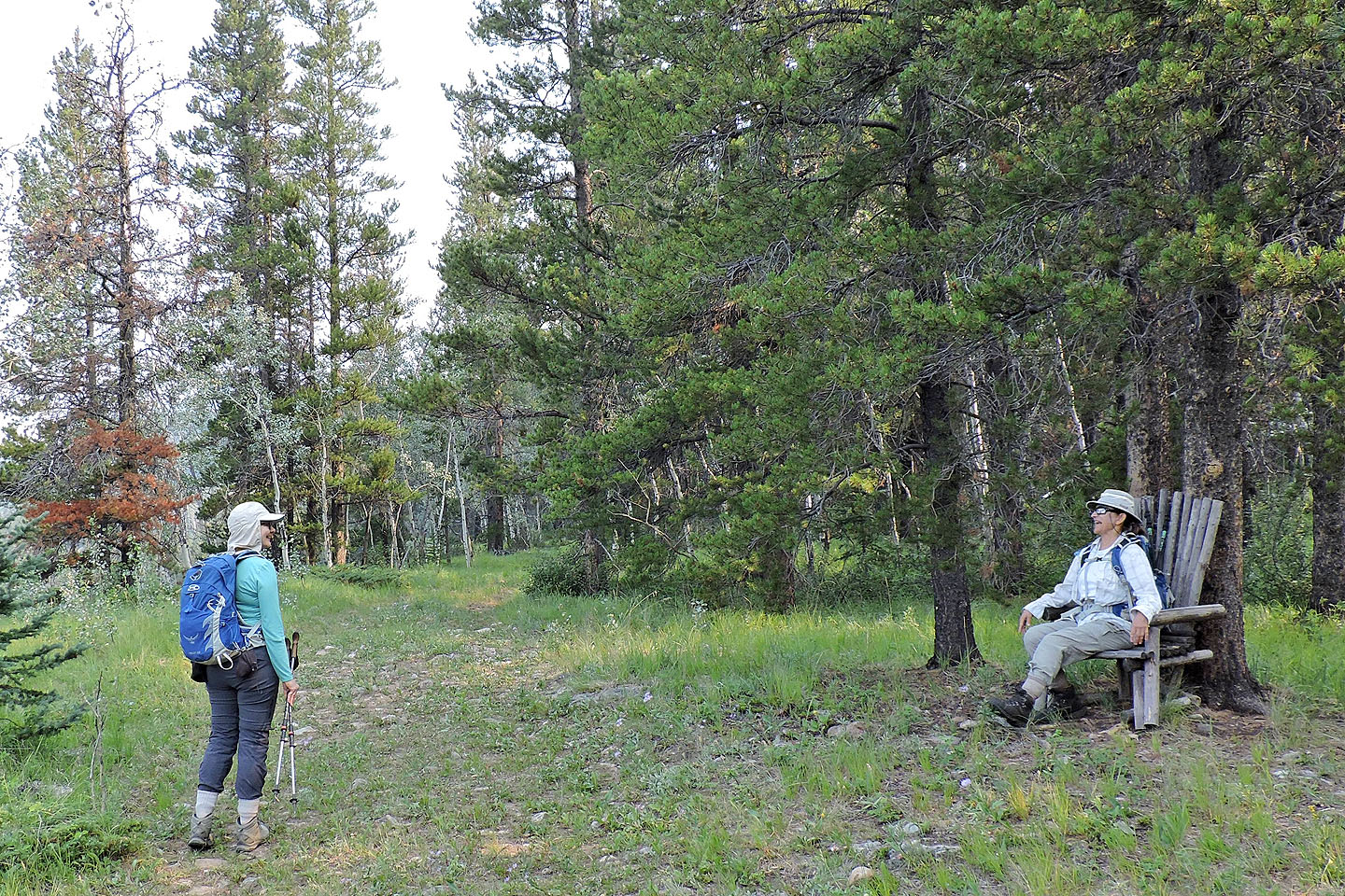
Zora tries out the rustic chair by the trail
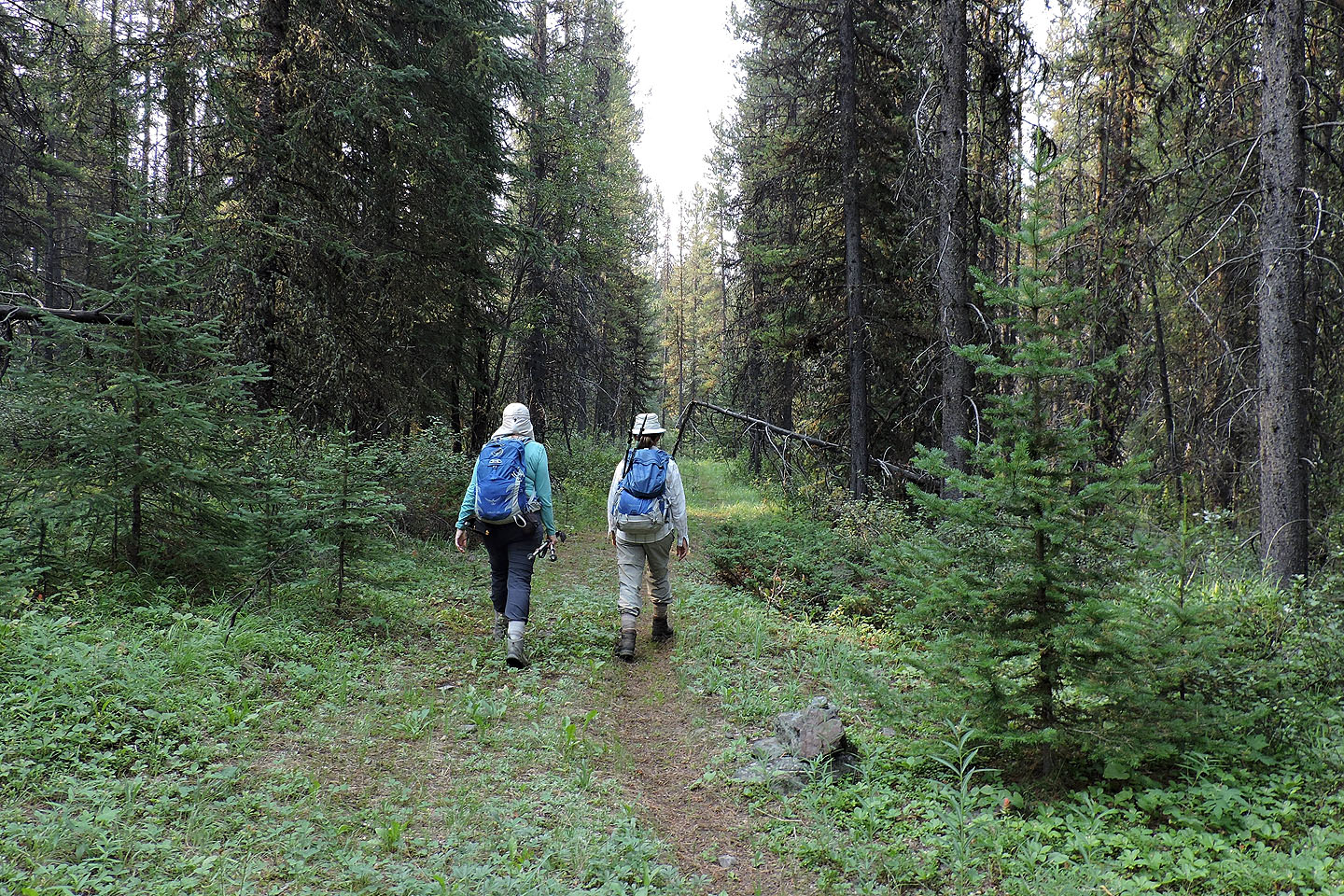
 The trail passes through a glade, but the smoke defeated the view
We continued up the road
The trail turns left and enters a gully
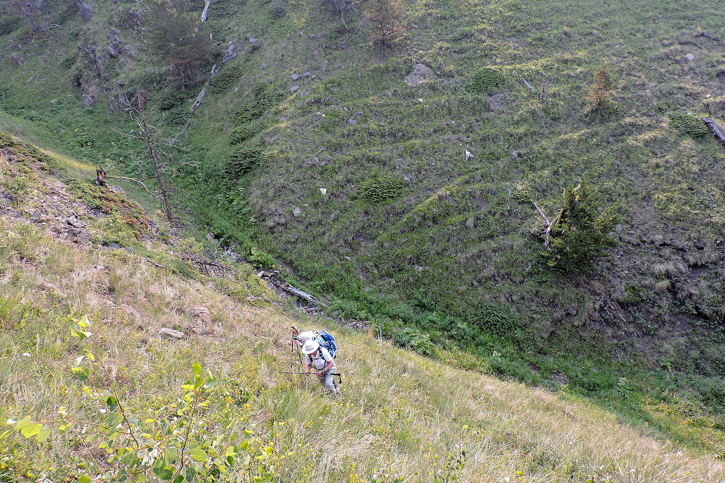
A short time later, we started up the slope on our left
We didn't gain the ridge but instead headed to a road in the slope
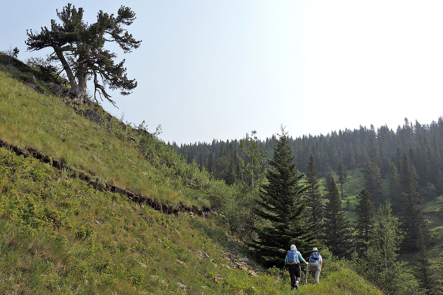
The limber pine on our left caught our attention (mouse over)
The road had seen better days
We continued up the road
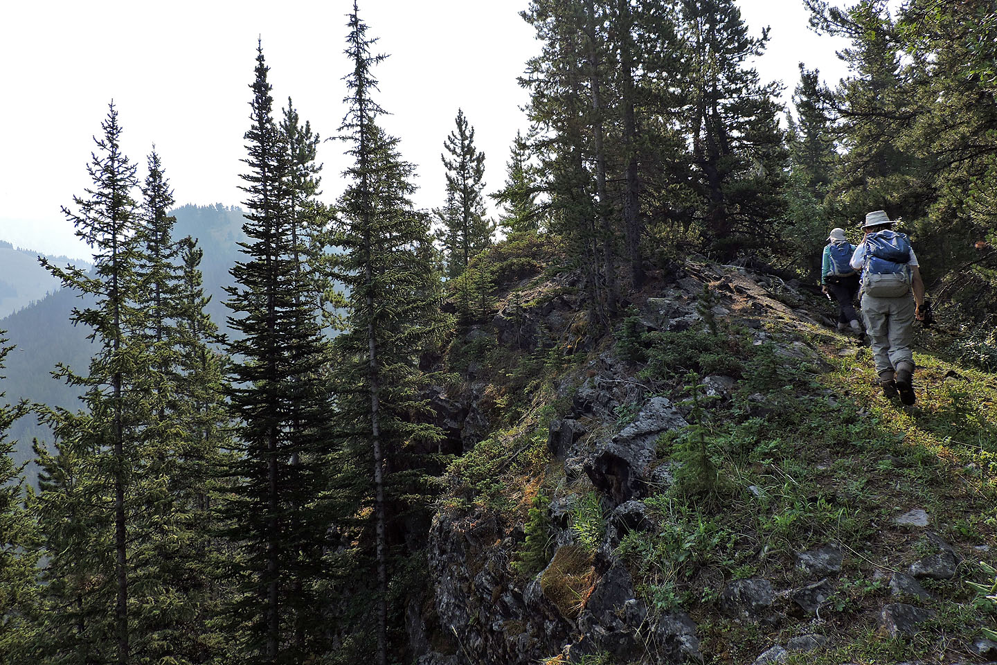
Eventually the road disappeared, and we followed a vague trail along the ridge. The summit is left.
Here the west ridge intersects with the southwest ridge
Heading to the false summit
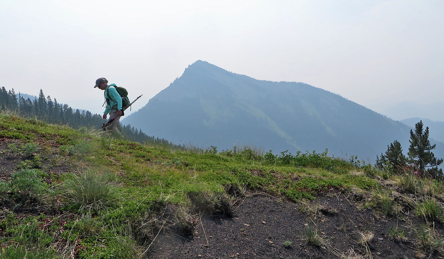
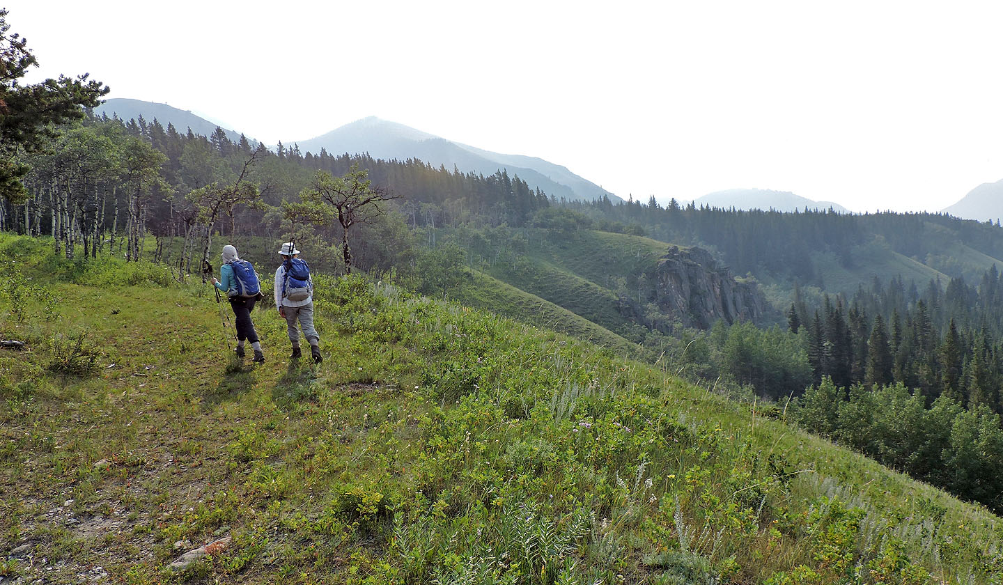
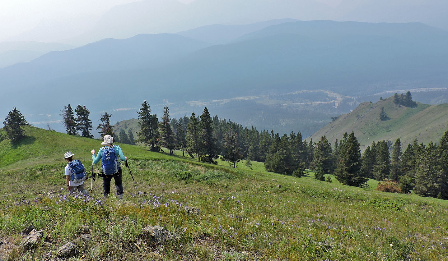
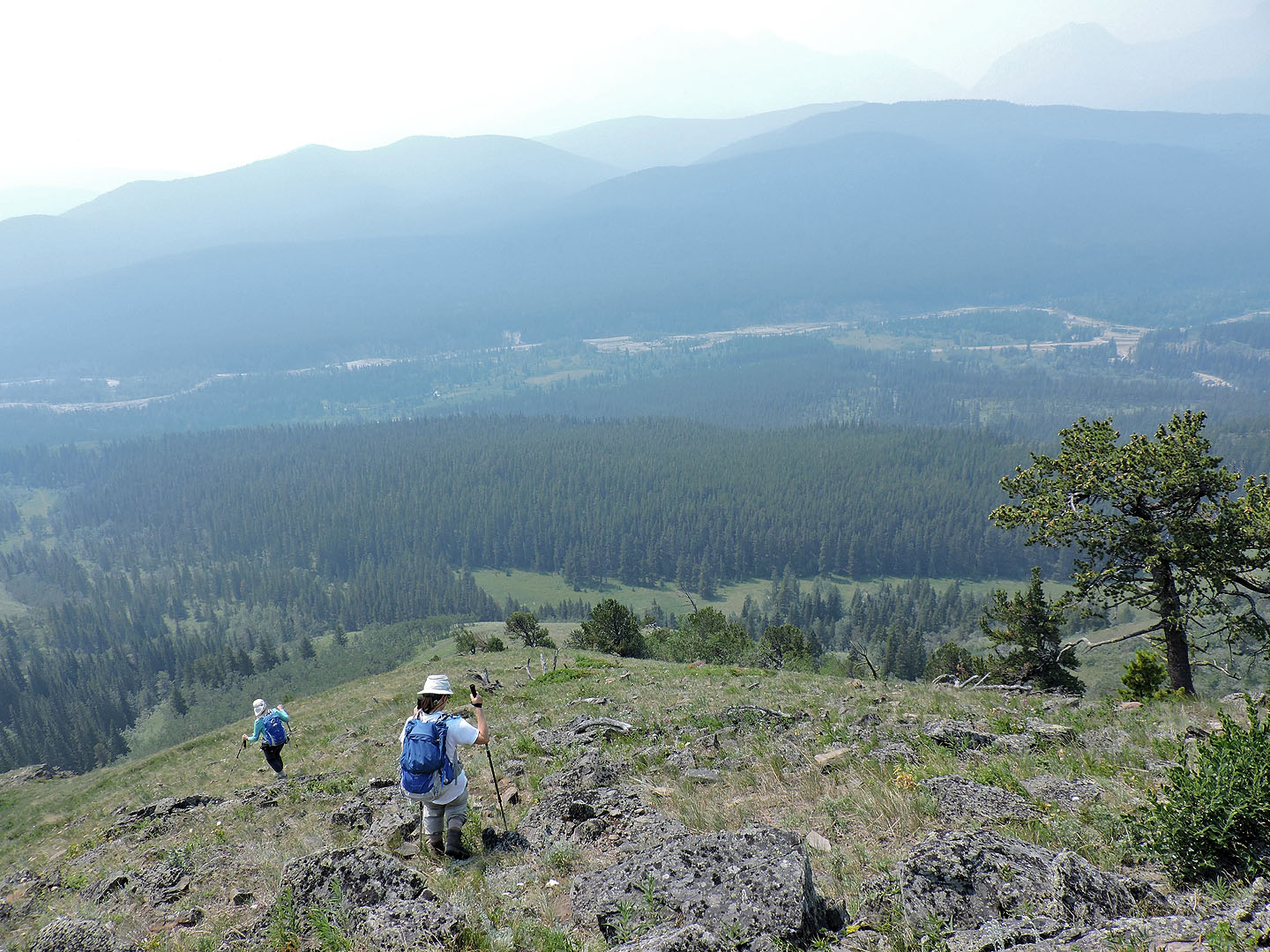
Junction Hill is just 1.3 km away yet details were lost in the haze
View from the false summit
Heading to the true summit 170 m away
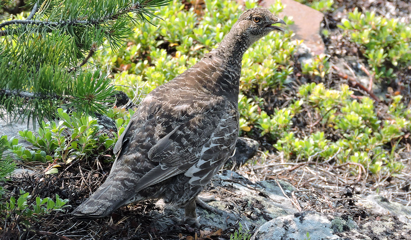 One of two grouse that fled the summit when we arrived
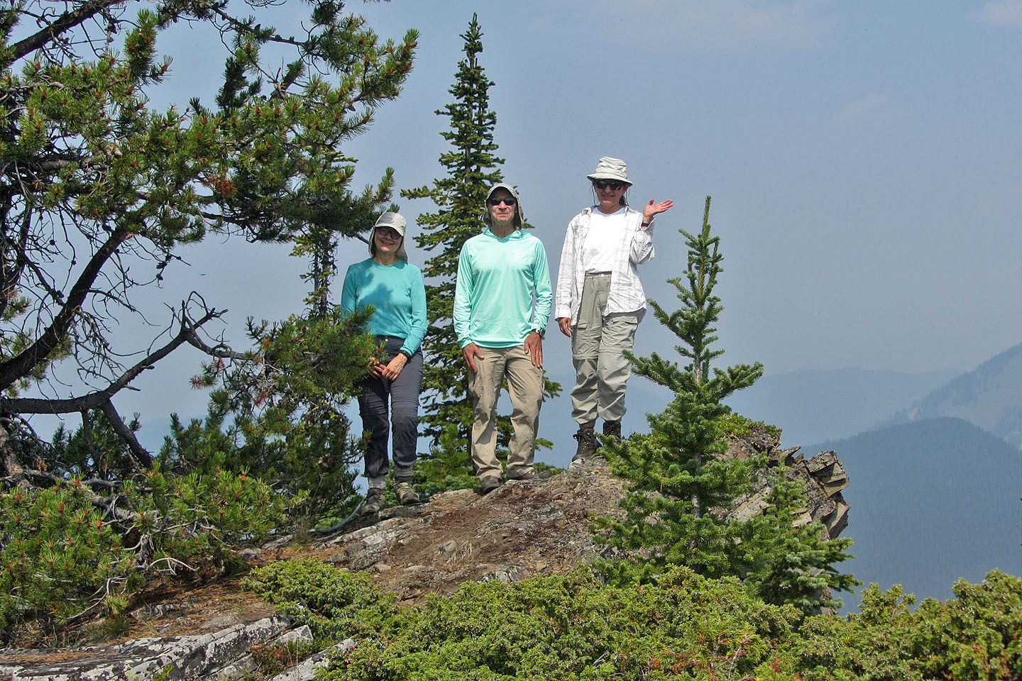
Zora appears to be waving but is actually shooing flies that infested the summit
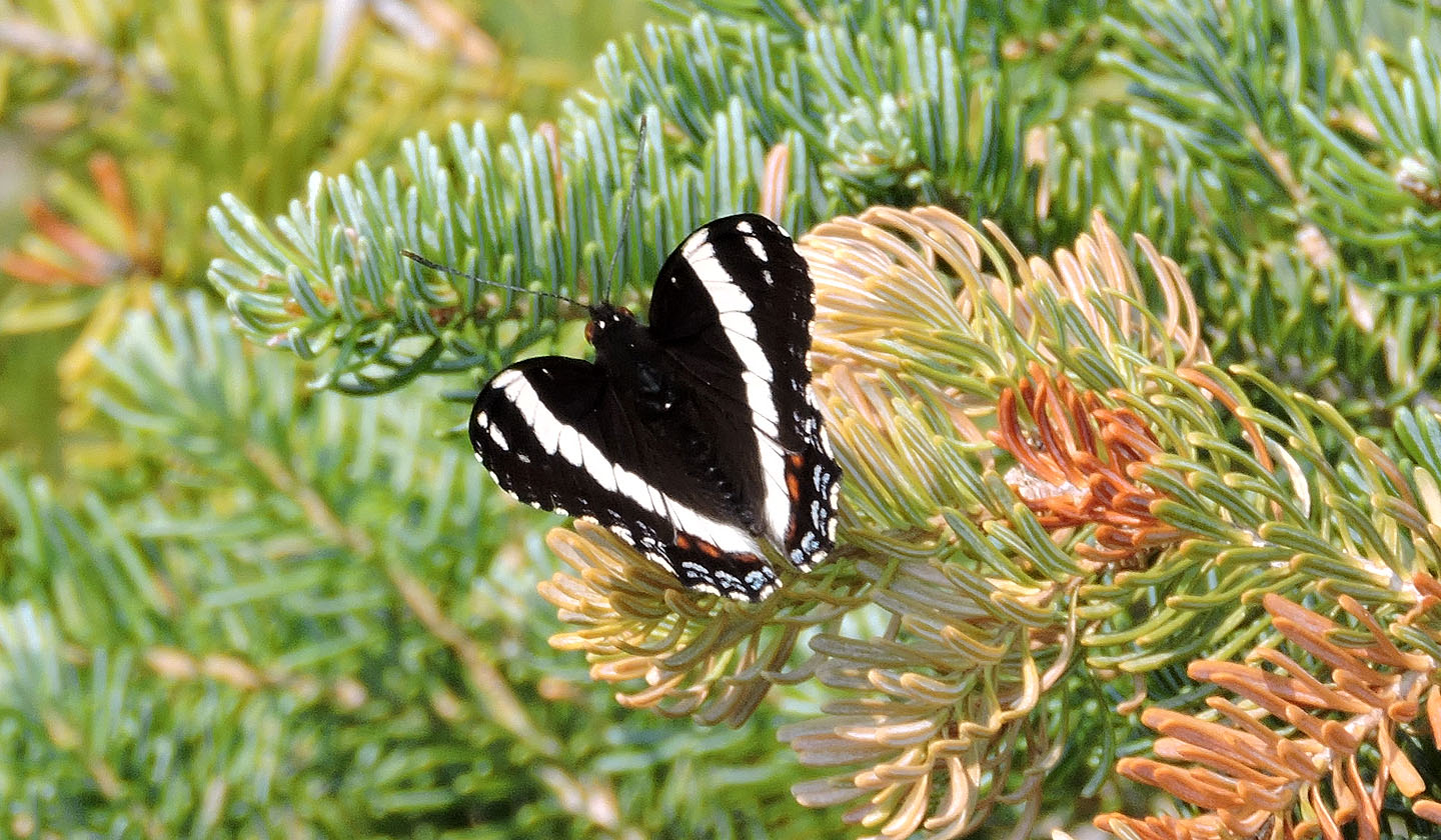
Several butterflies floated on the summit including this white admiral
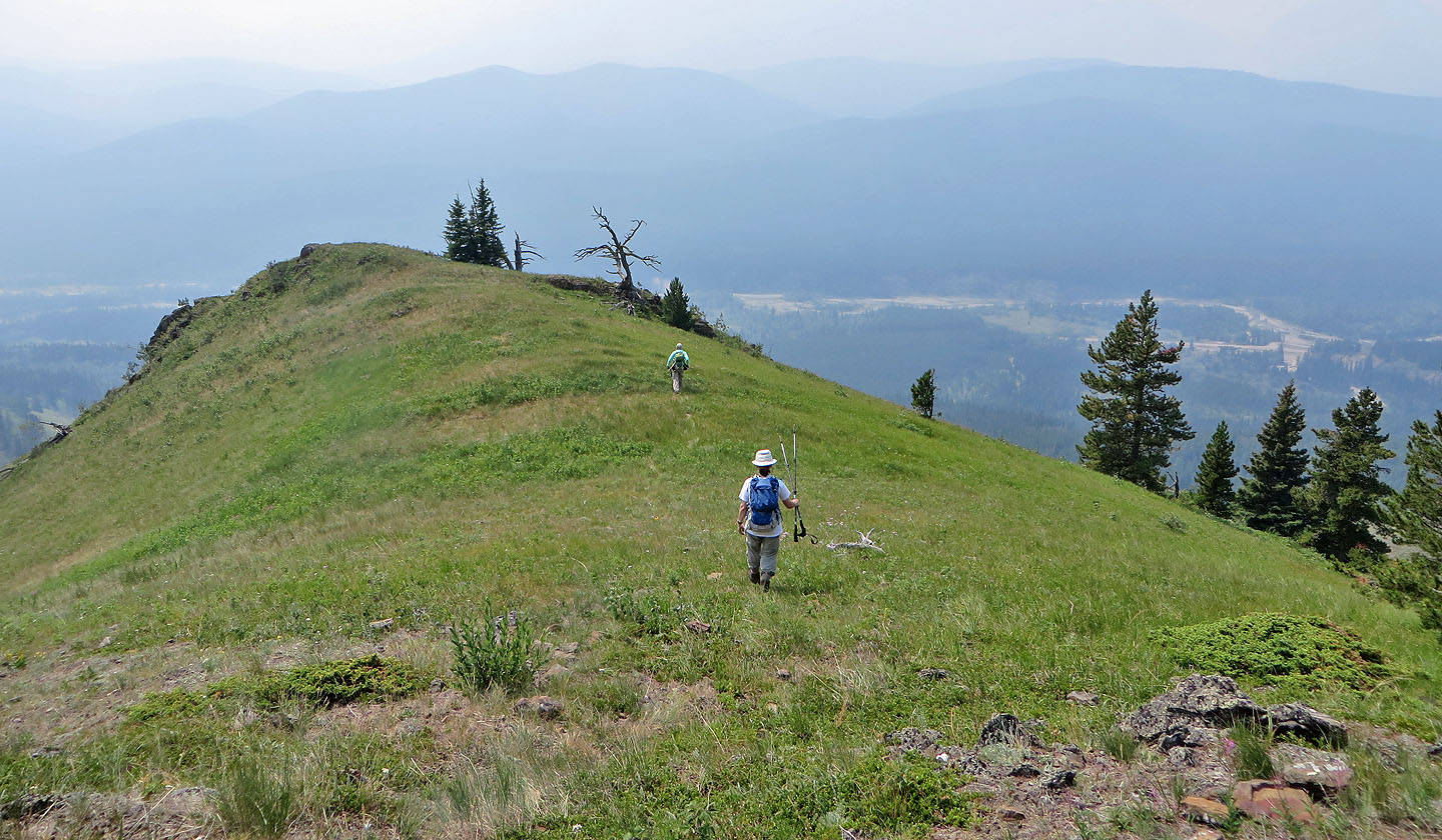
Starting down the descent ridge. Our ascent ridge is right.
We headed to the dead pine on the
ridge
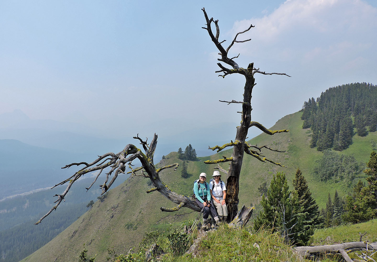
Dinah and Zora found a seat on the tree
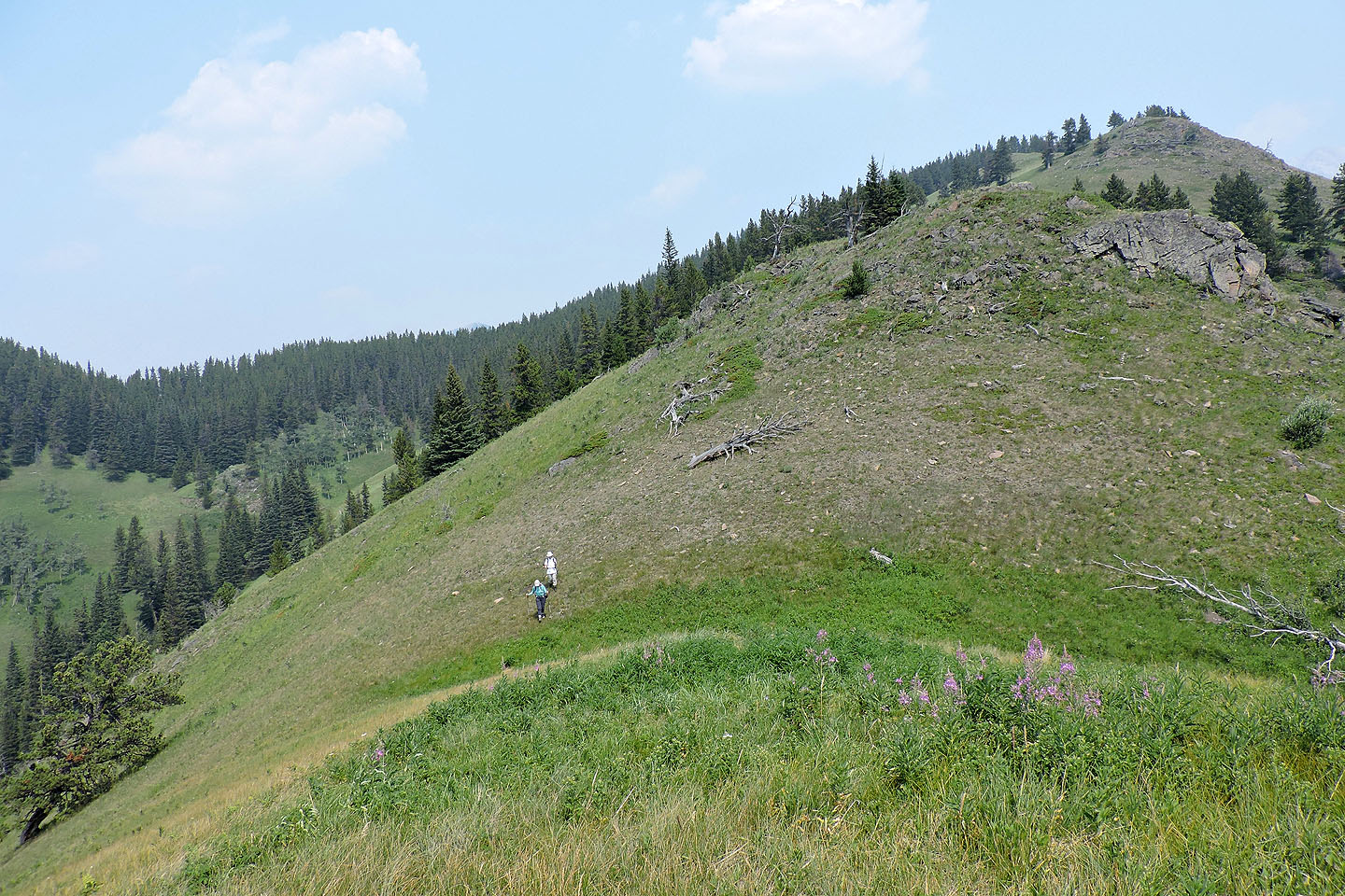
Continuing down the ridge
We followed the ridge down to the valley
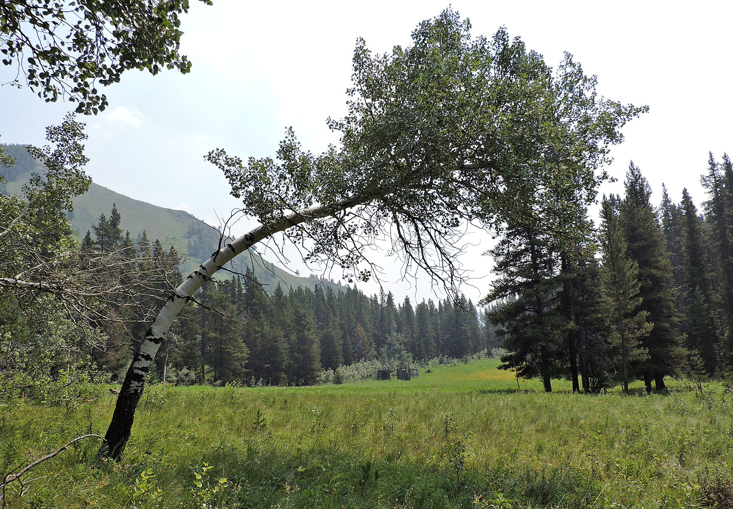
Looking southeast down the valley at the elk corral (mouse over)
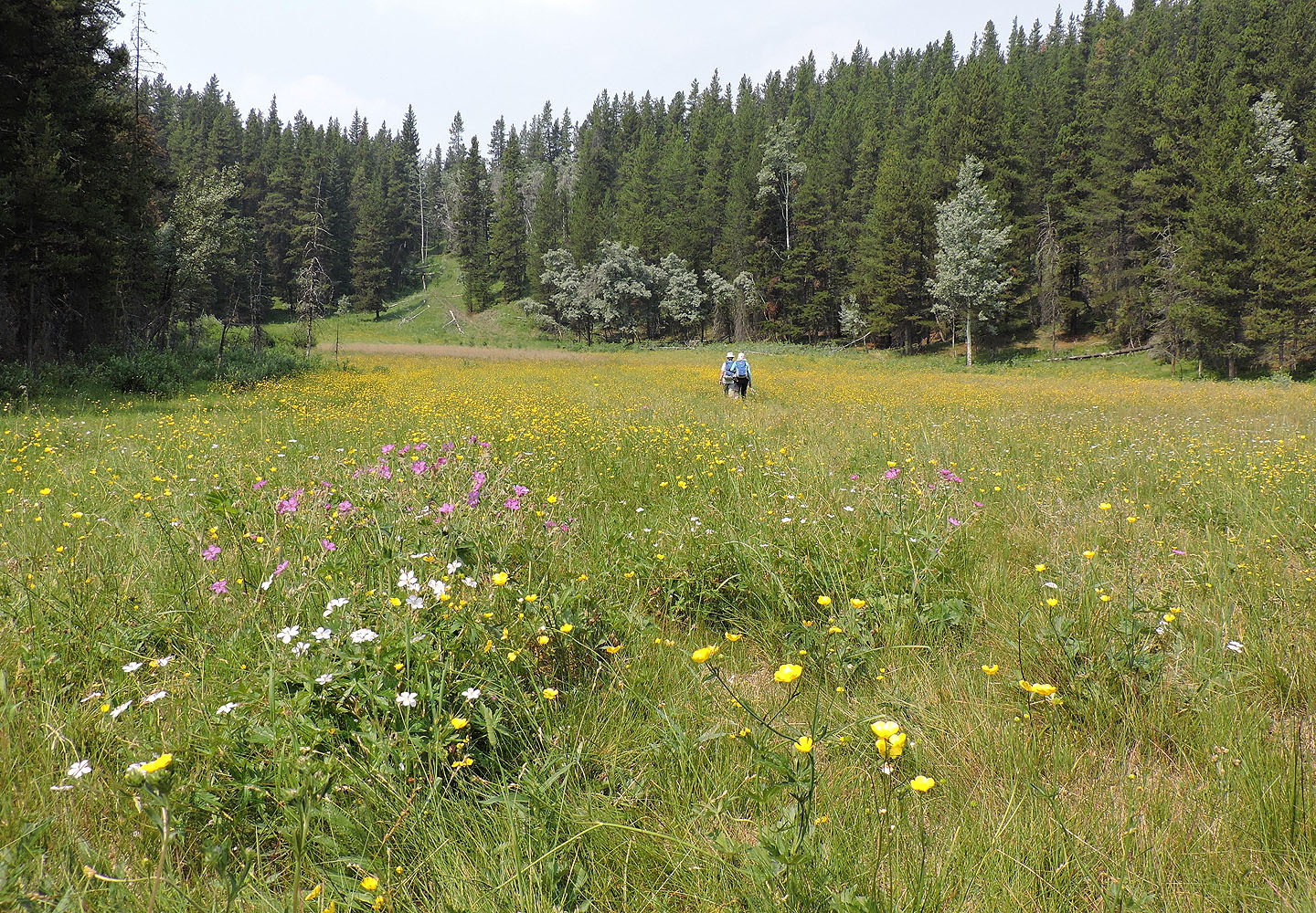
The valley trail returns to the trail we came up
 82 J/7 Mount Head