bobspirko.ca | Home | Canada Trips | US Trips | Hiking | Snowshoeing | MAP | About

Two Pines
Kananaskis, Alberta
September 8, 2020
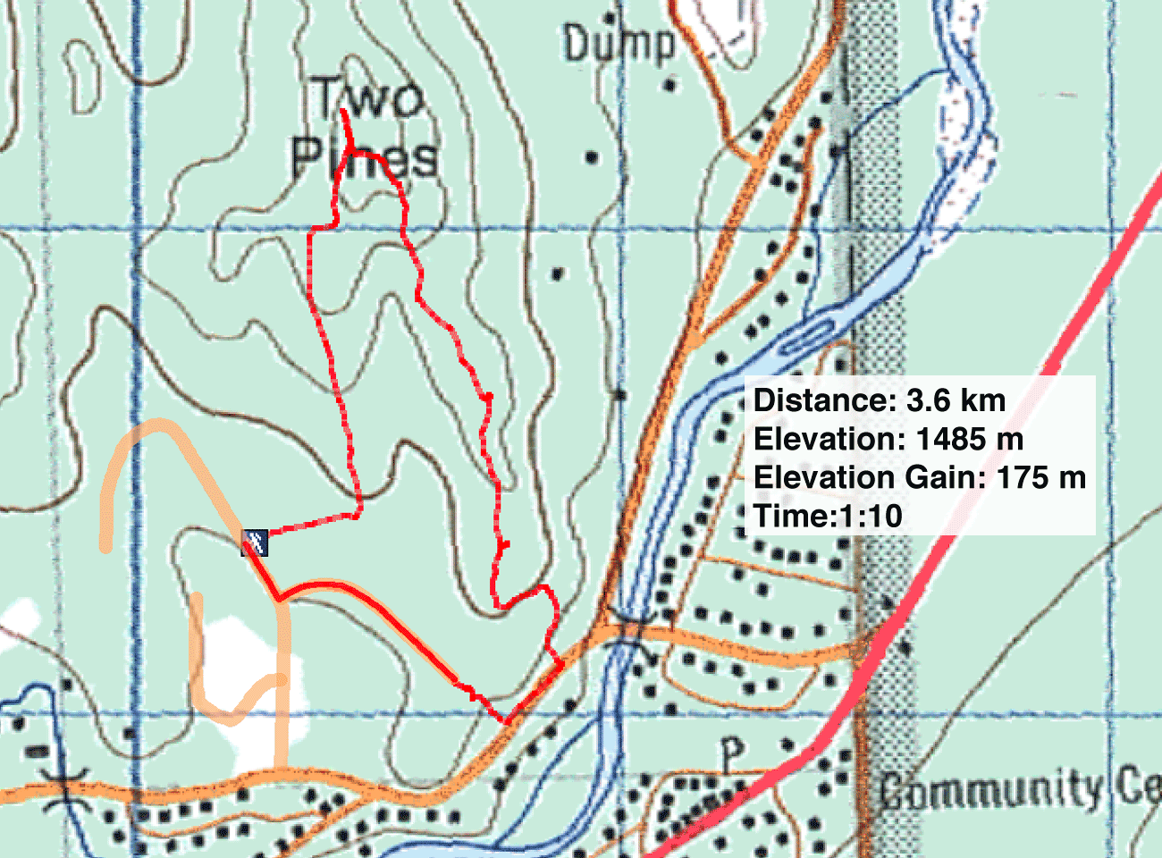
Distance: 3.6 km (2.2 mi)
Cumulative Elevation Gain: 180 m (591 ft)
Two Pines is no more than a hillock, but it offers a pleasant hike through the woods to a hilltop open to the west. The brief trip, along with the brief drive to Bragg Creek, had Dinah and me back in Calgary in a short time.
There are a couple of places to start the hike from, but Bragg Creek Shopping Centre isn't one of them. Signs in the parking lot are clear: “Customer parking only while doing business….” Instead, drive past the mall on Balsam Avenue. After crossing the Elbow River bridge, turn left onto Centre Ave. and drive one block to Two Pine Drive. The trailhead is at 70 Two Pine Drive. Park in front of the gate. This is where the locals start.
From here, a trail – I'll call it the south ridge trail – runs to the top of Two Pines. It's less than a kilometre long including 200 m on a road. To extend the hike and make a loop, we incorporated a trail going up the southeast ridge. But connecting the two trails requires walking on roads.
From the trailhead, we walked south along Two Pine Drive to Cummer Place, a cul-de-sac. At the end, a short path through the trees drops down to Centre Ave. We walked 160 m west to a MAXIMUM 40 sign. This is the trailhead for the southeast ridge.
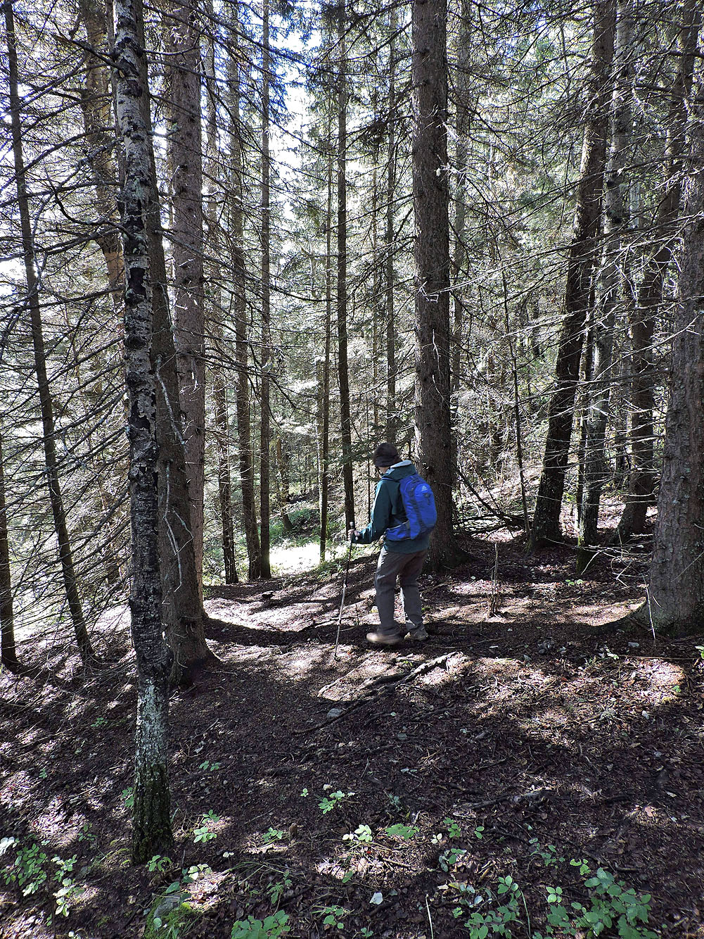
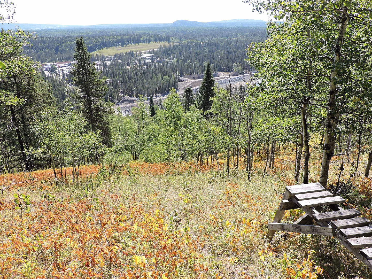
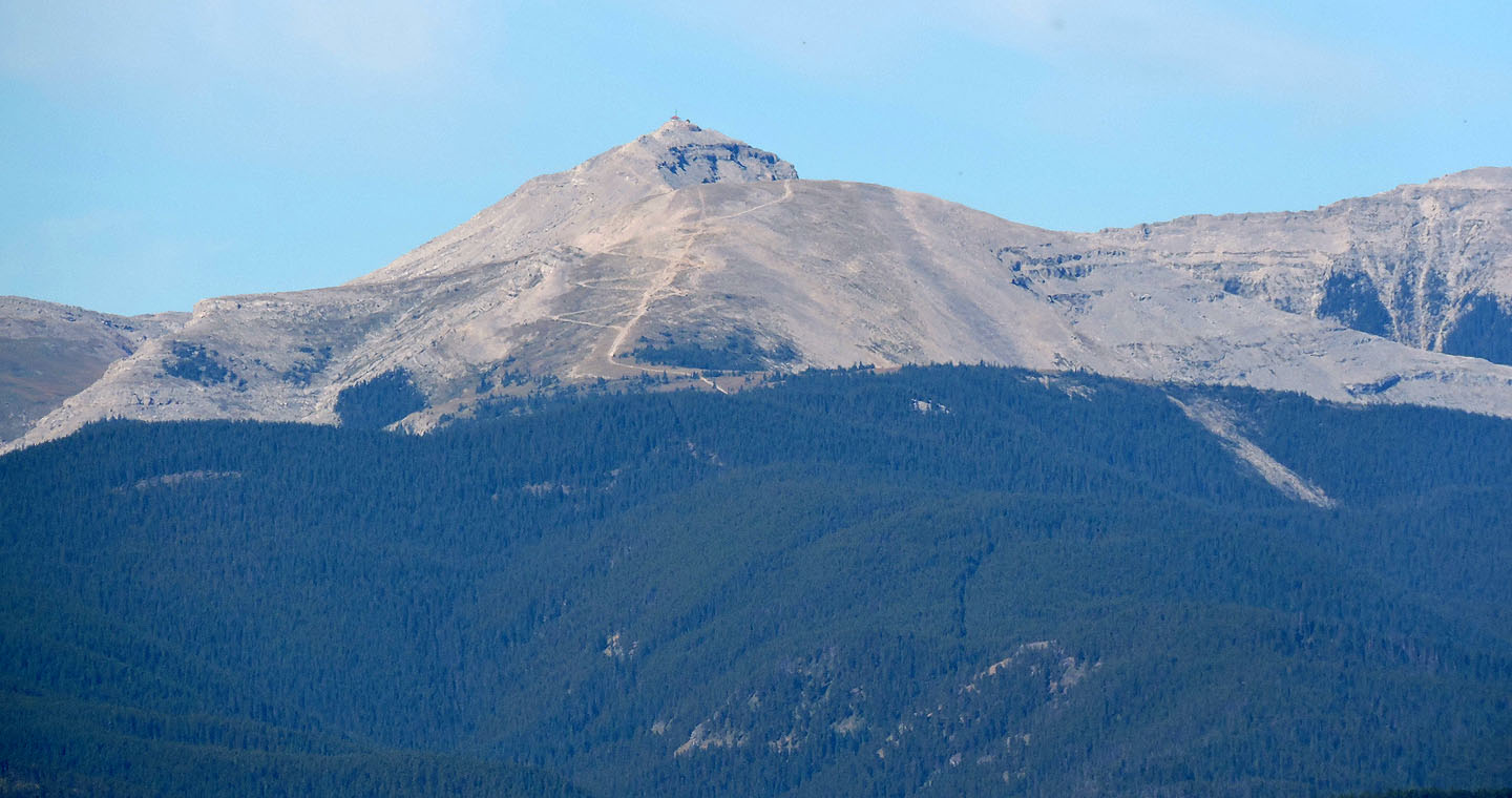
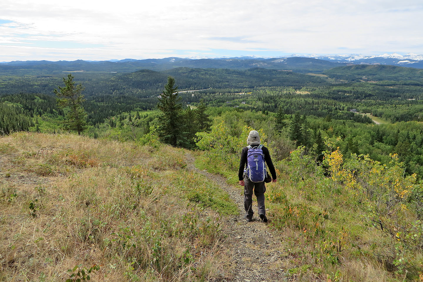
We followed the dirt path as it first climbed, levelled off, and climbed again. Except for a few small viewpoints, there's little to see until you reach the top. From there, one can sit on one of two benches and gaze west on distant peaks such as Prairie Mountain and Moose Mountain.
But we didn't do much sitting or gazing. We soon started down the south ridge trail. This trail, with spacious shoulders and arching trees overhead, is more pleasant than the southeast ridge trail.
The trip ends altogether too quickly. Perhaps it's not worth the drive, but if you're in Bragg Creek and have an hour to kill, consider hiking Two Pines.
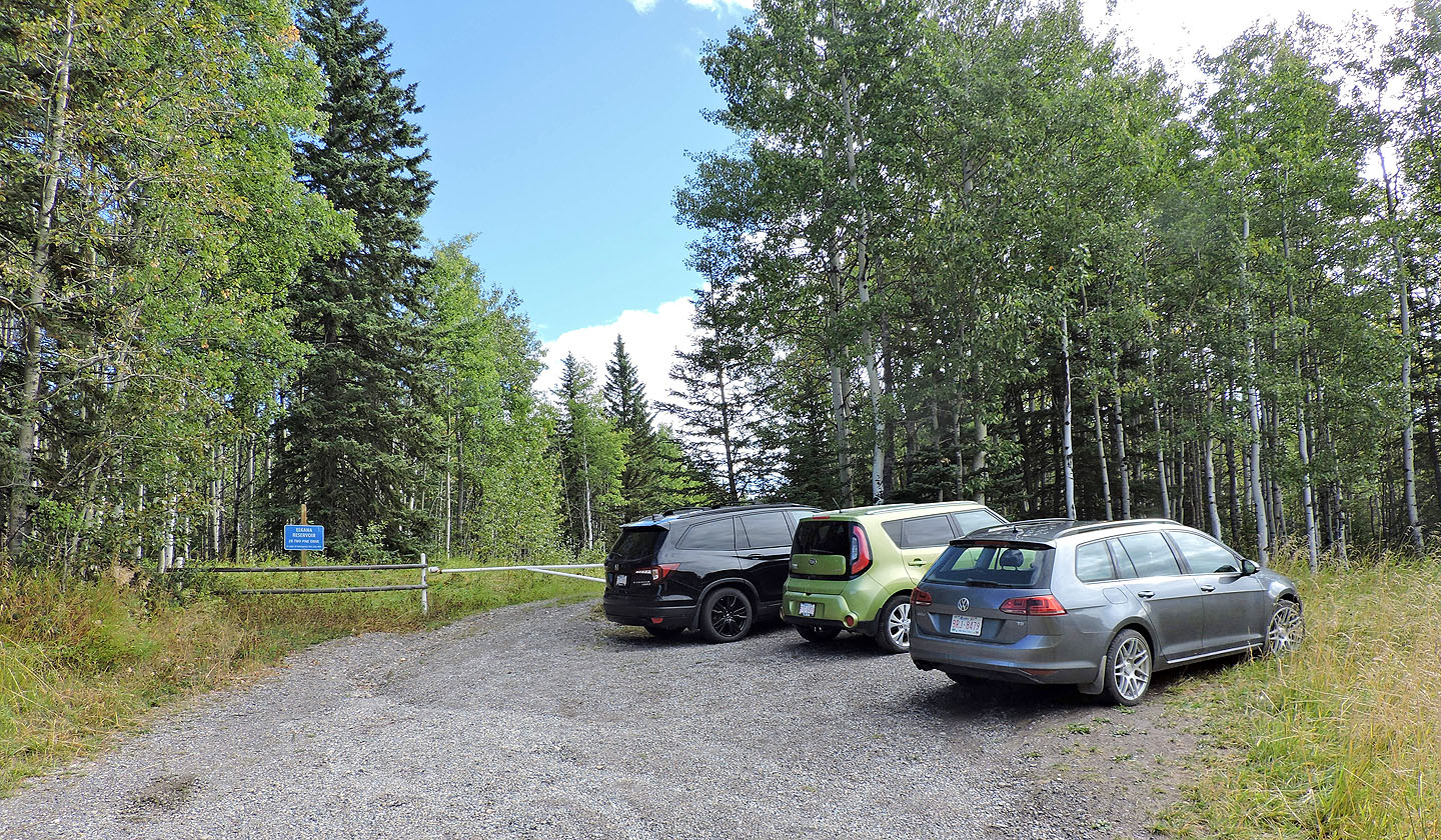
The trailhead: the sign says "70 Two Pine Drive"
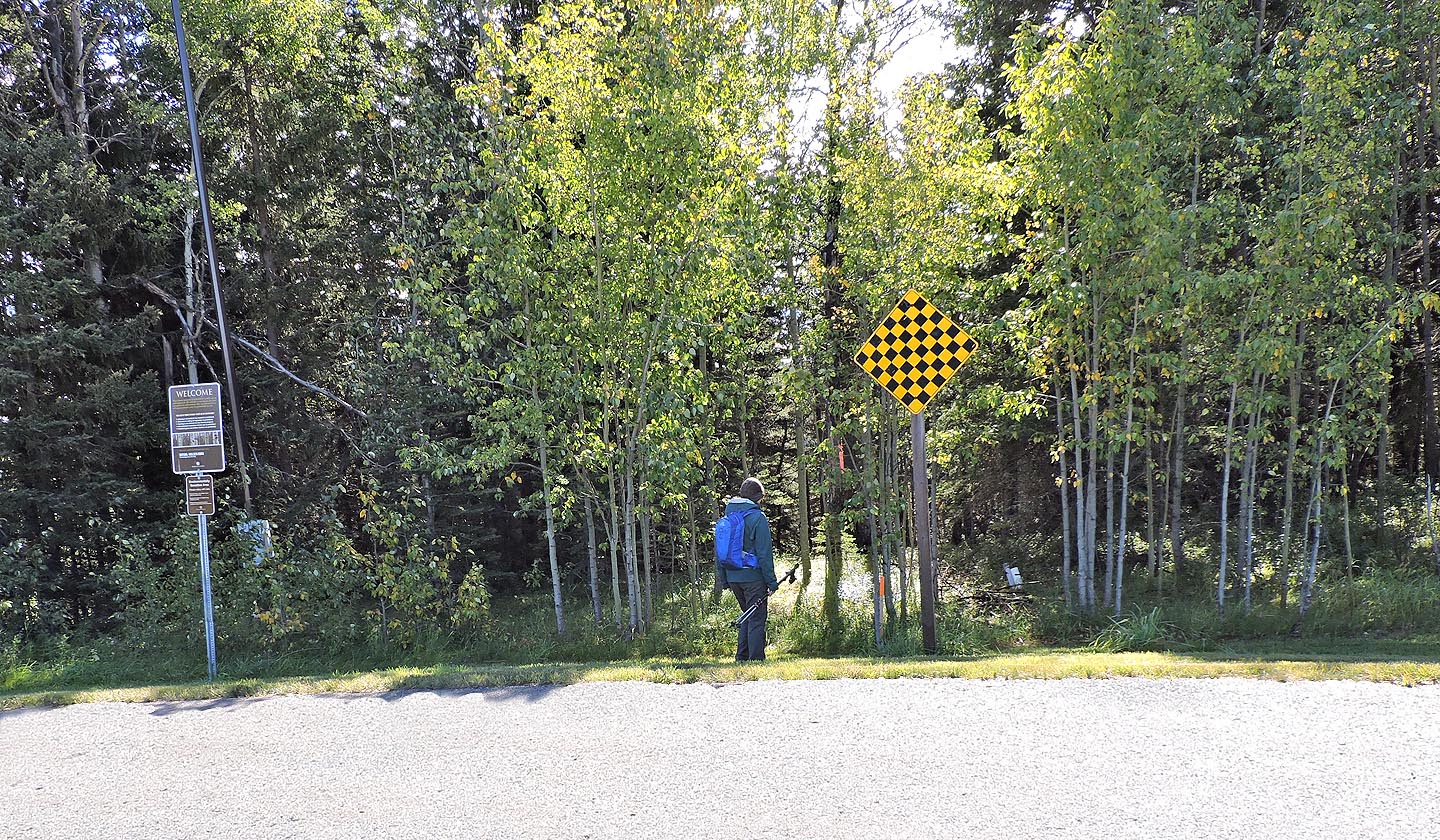
At the end of Cummer Place, we took a short path. This is a public access so you can also park here. Mouse over to read the sign.
The trail immediately forks but keep right
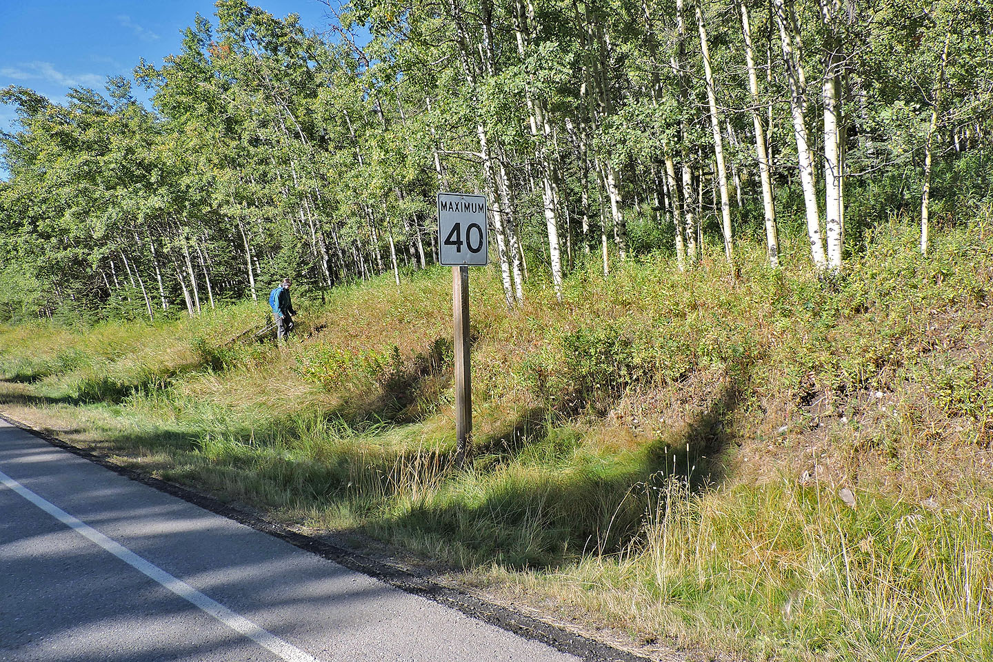
The southeast trail begins at the MAXIMUM 40 sign
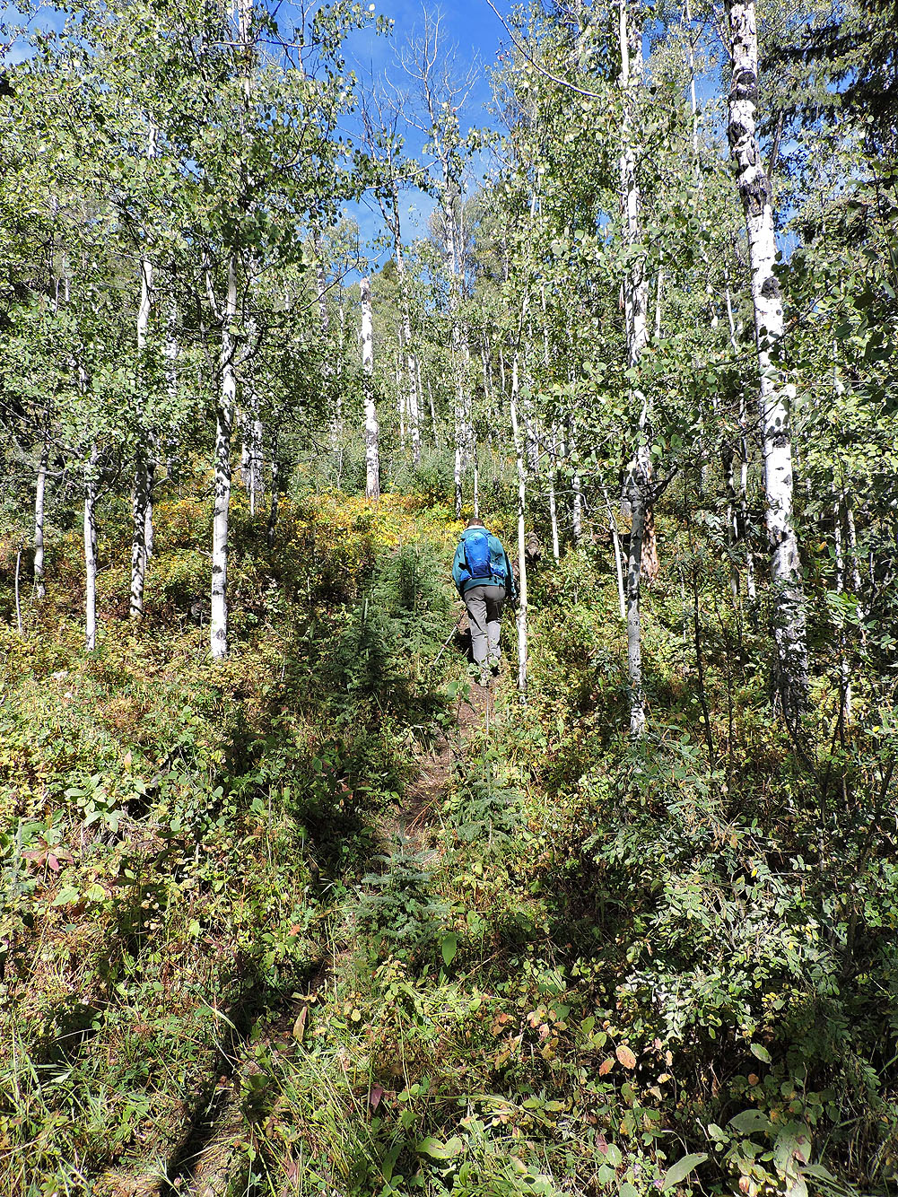
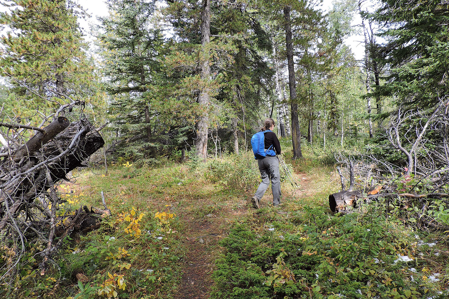
Hiking up the trail
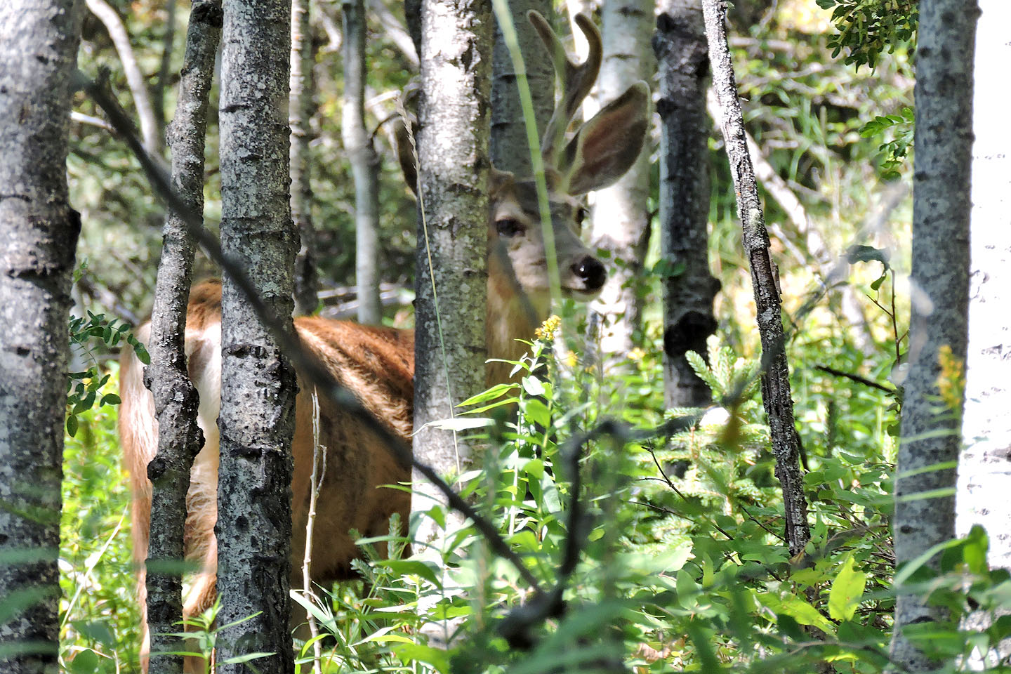
A white-tailed deer watched us go by
A side trail leads to some sort of ramp
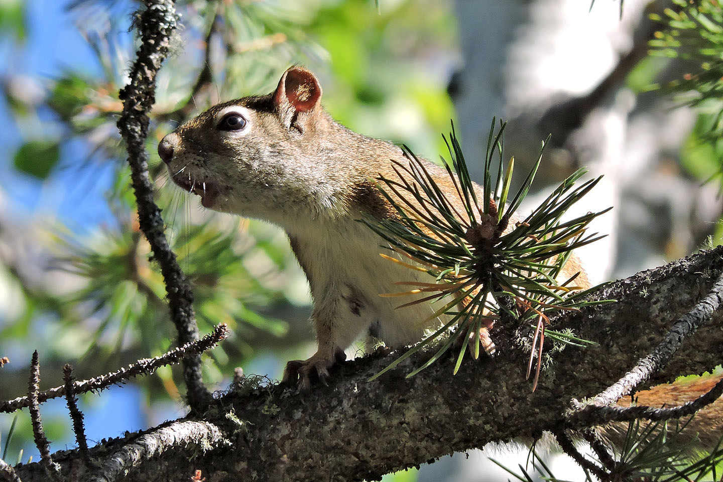
An American red squirrel won't stop chattering at us
The trail forks and rejoins, but keep right for the river viewpoint
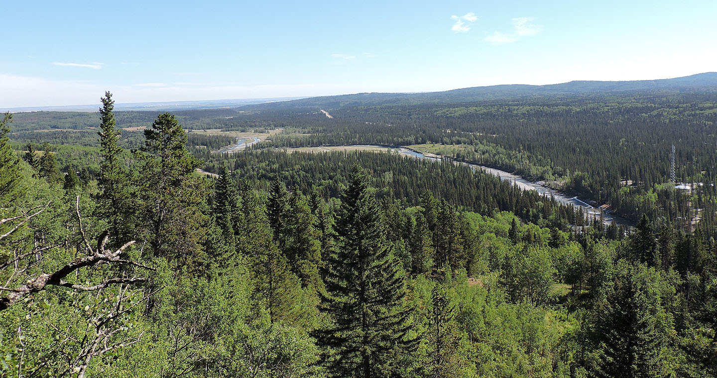
A brief side trail leads to a view of Elbow River
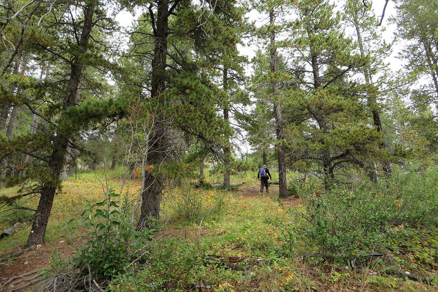
After leveling off, the trail begins to climb again
A final climb reaches the half-bare top
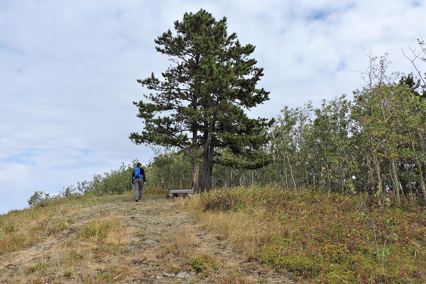
Two pines near the top
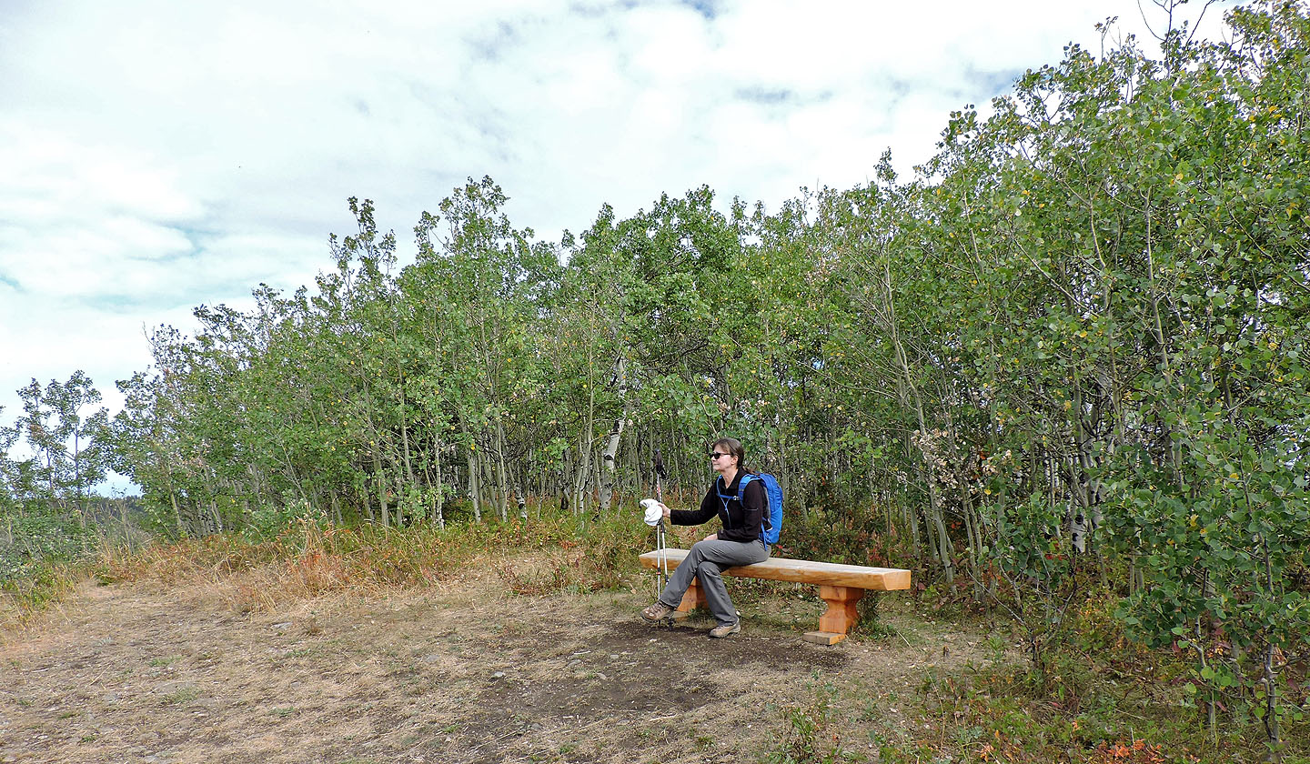
Dinah relaxes on the summit bench
Last Break is nearby, but can't be accessed from here because of intervening private property
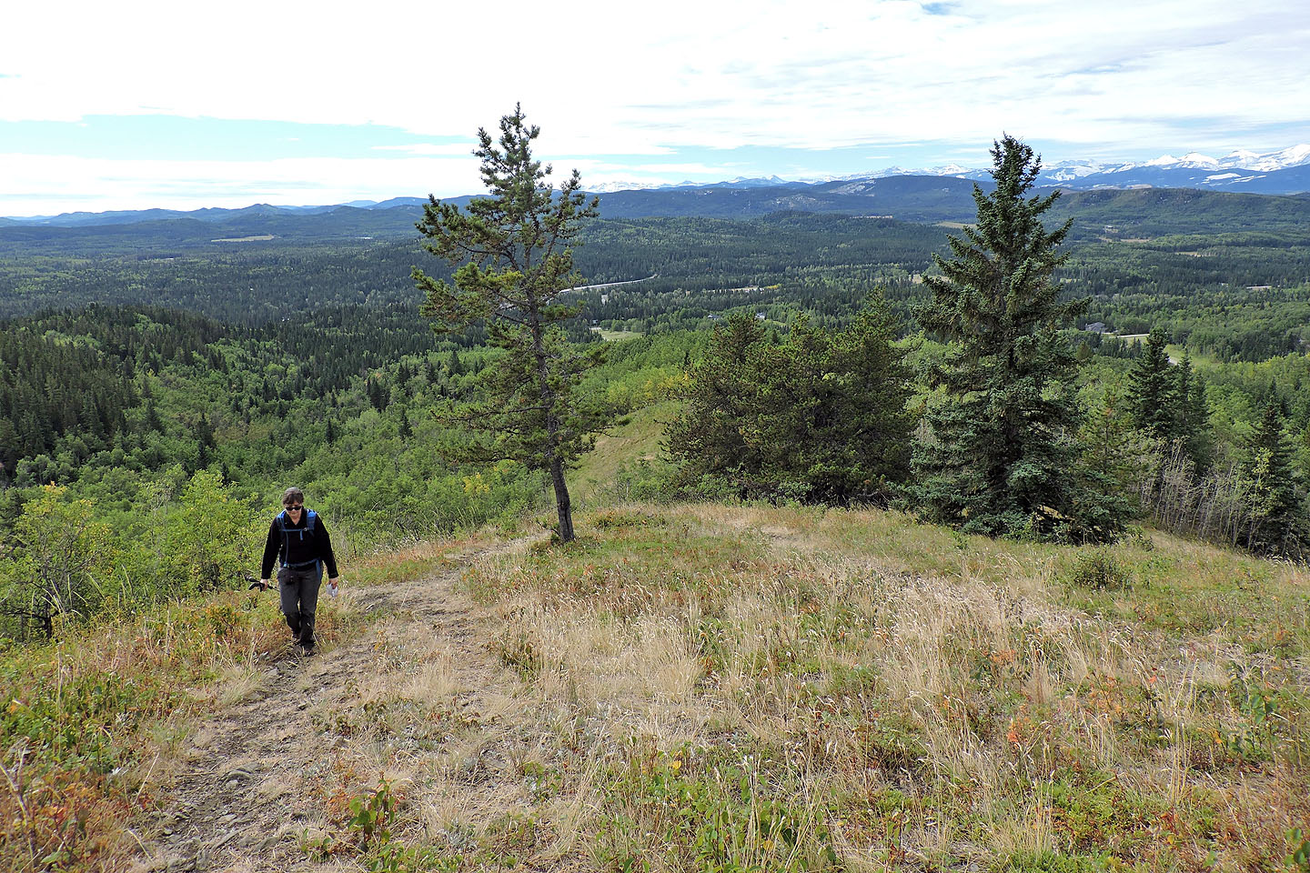
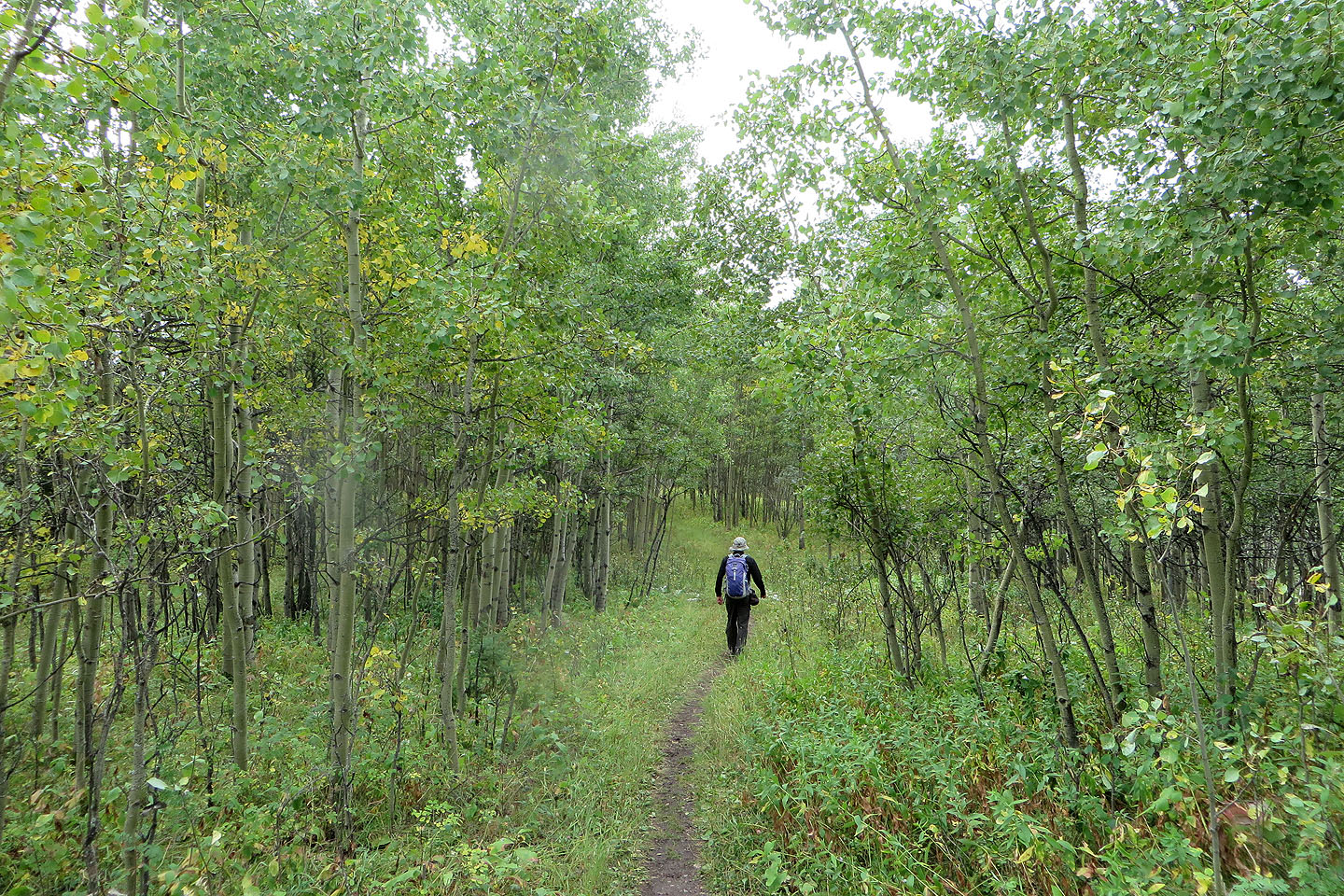
 Starting down the south trail
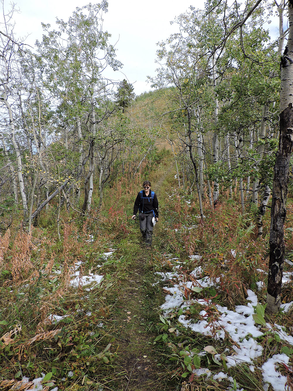
Lingering snow from the previous night
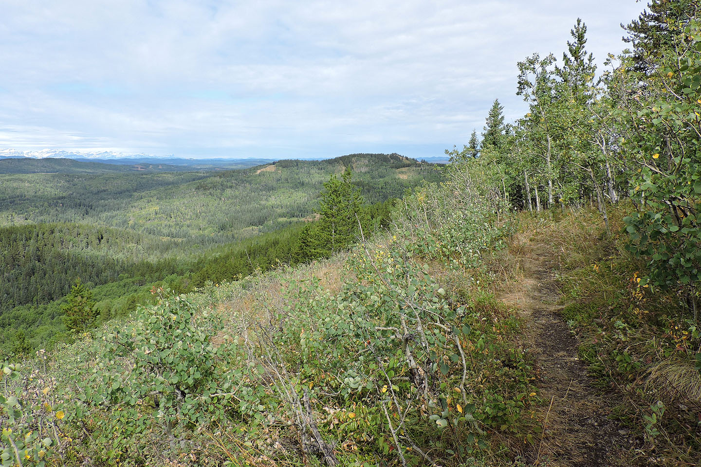
The south trail is more pleasant than the southeast trail
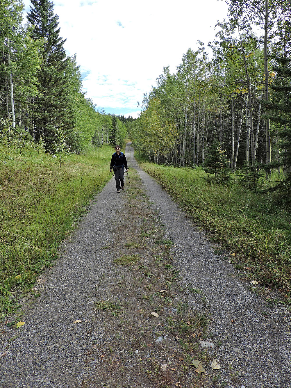
Hiking along the road back to our car
82 J/15 Bragg Creek