bobspirko.ca | Home | Canada Trips | US Trips | Hiking | Snowshoeing | MAP | About

Rampart East Bump
Cranbrook, B.C.
September 19, 2026
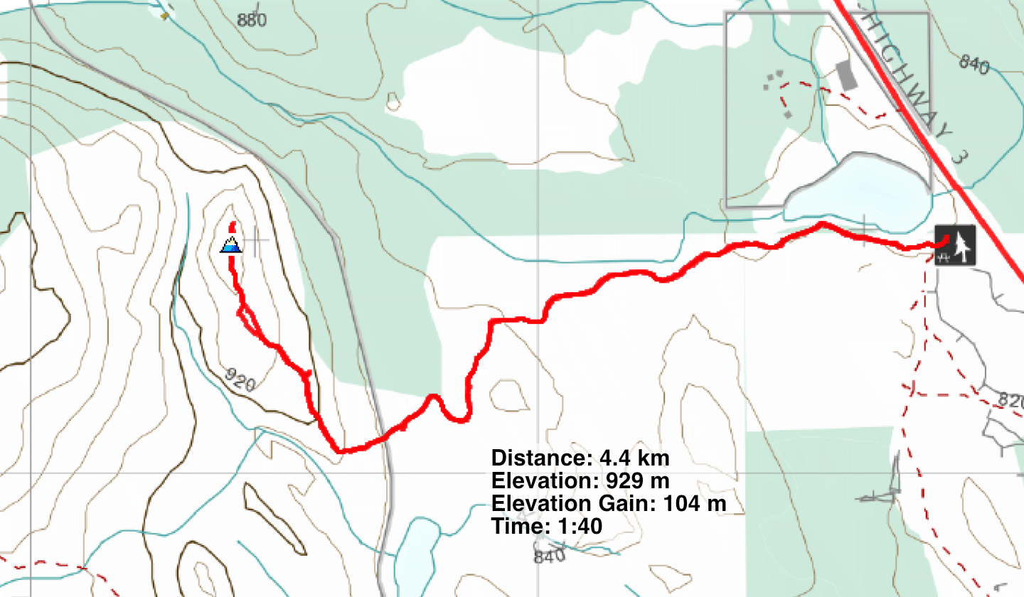
Distance: 4.4 km (2.7 mi)
Cumulative Elevation Gain: 116 m (381 ft)
Rampart East Bump is a short, easy hike to a summit with 360° views, and unlike other destinations in Cranbrook Community Forest, it doesn’t suffer from a maze of intersections. There are only two, and you go straight ahead.
The trail begins at Rampart Rest Area, ten minutes east of Cranbrook. Rampart East Bump was a convenient morning hike for Dinah and me before we returned to Calgary.
We started up a broad trail in the woods next to a large pond. At the second intersection, Isadora Chief Trail, the trail becomes a narrow path. It soon begins climbing up a ridge. The trail doesn’t go directly to the ridgetop. Instead, there are two side trails to the summit, but take the first one, at the top of a rise. But either way, it’s a short distance to the open summit. From there we could see Lakit Mountain, Fisher Peak and Mount Baker.
We also viewed the nearby hill west. 100 m higher than the East Bump, it must be Rampart West Bump, although I could find no references on the Internet. After we started back, I told Dinah to continue, while I searched for an approach. I found an animal trail and followed it for 150 m before it disappeared. I looked no further, as I had to run to catch up to Dinah. But I was only 200 m from the base of the open slope running up the West Bump. Like Rampart East Bump, I'm sure Rampart West Bump would be enjoyable too. We'll be back to hike it.
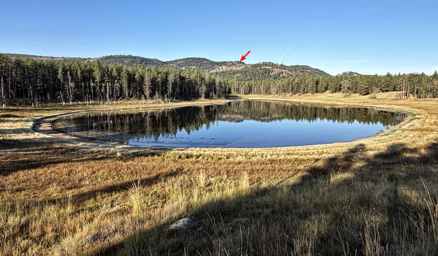 Rampart East Bump seen from the highway
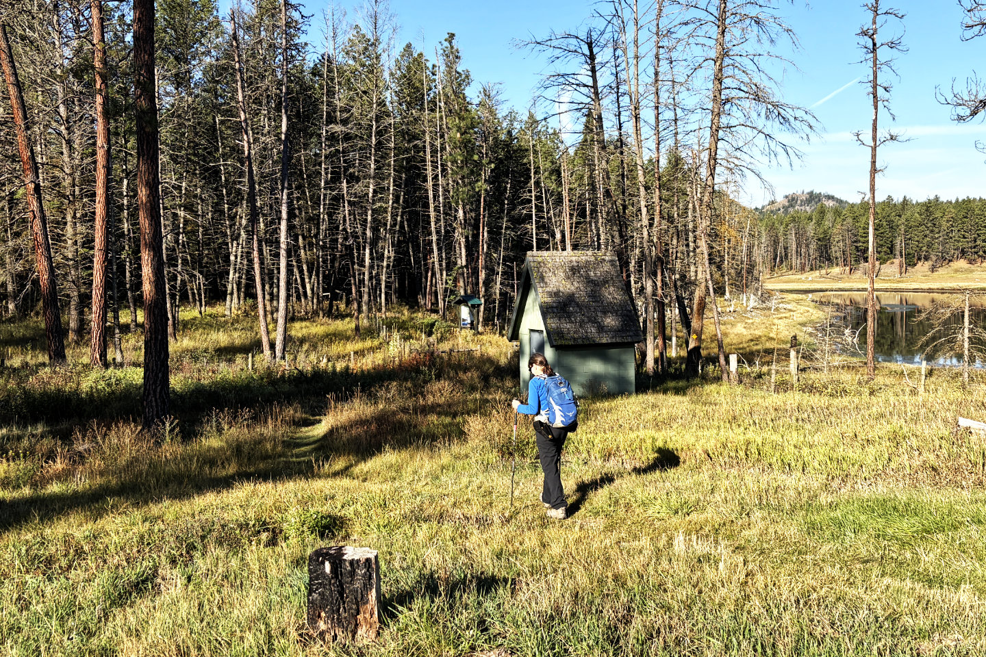 The trail begins at the sign, in the centre
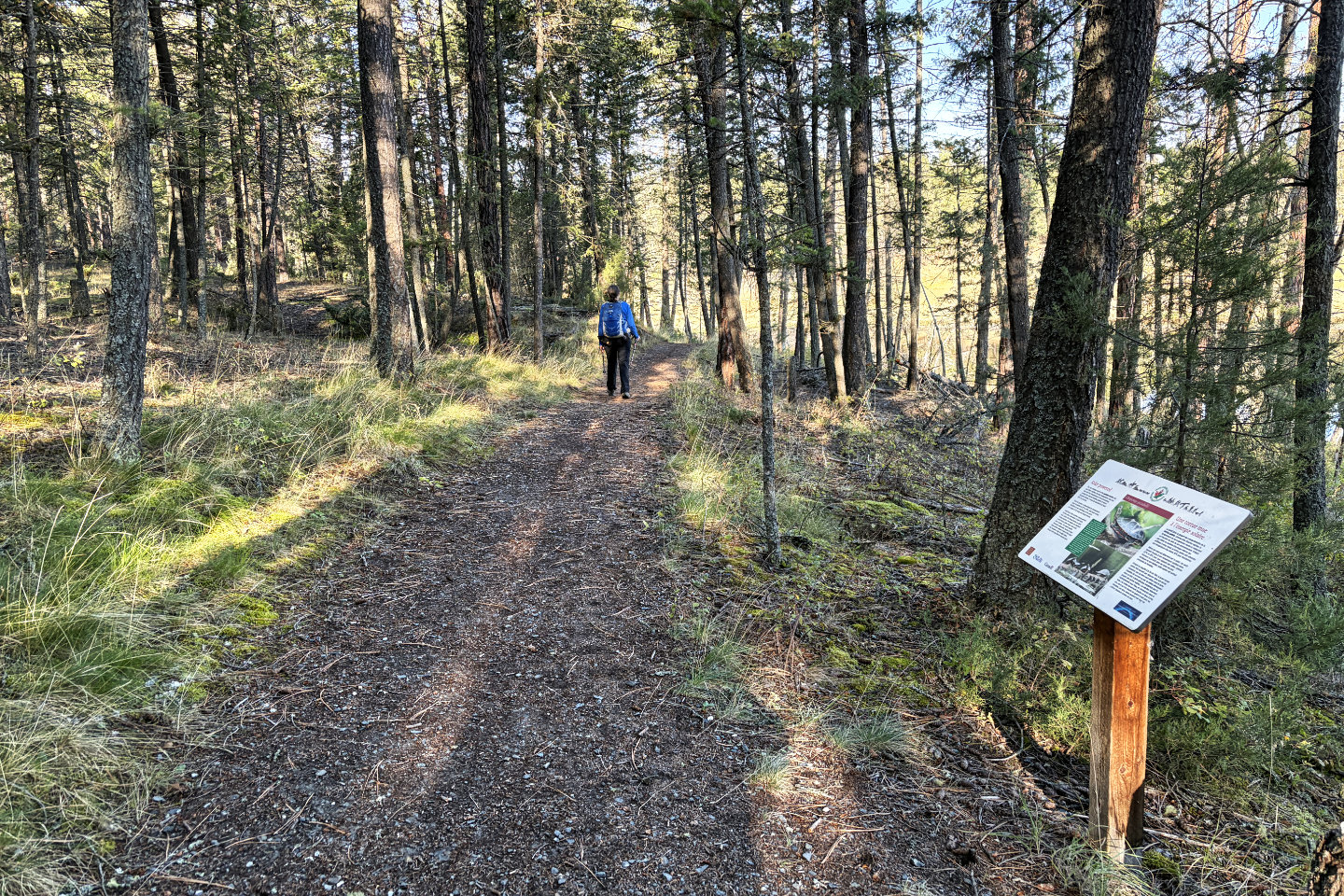 A sign on the trail features painted turtles,
but we didn't see any in the pond
A sign on the trail features painted turtles,
but we didn't see any in the pond
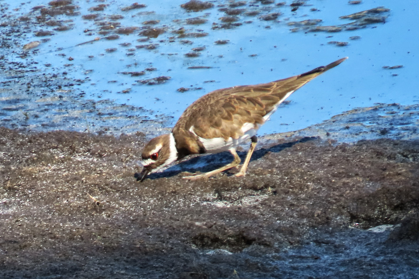 But we saw a killdeer on the shore
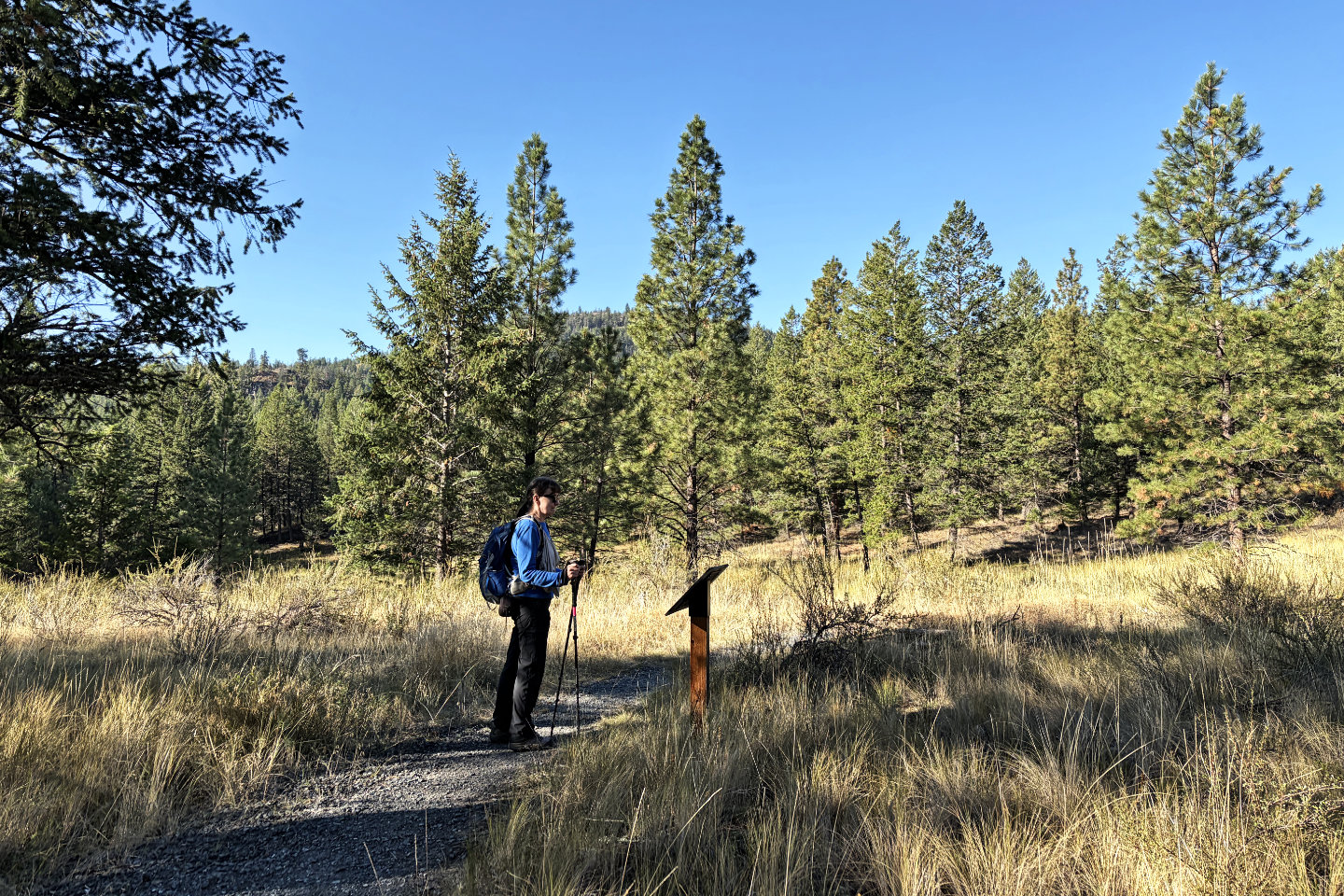 Dinah stops at another sign
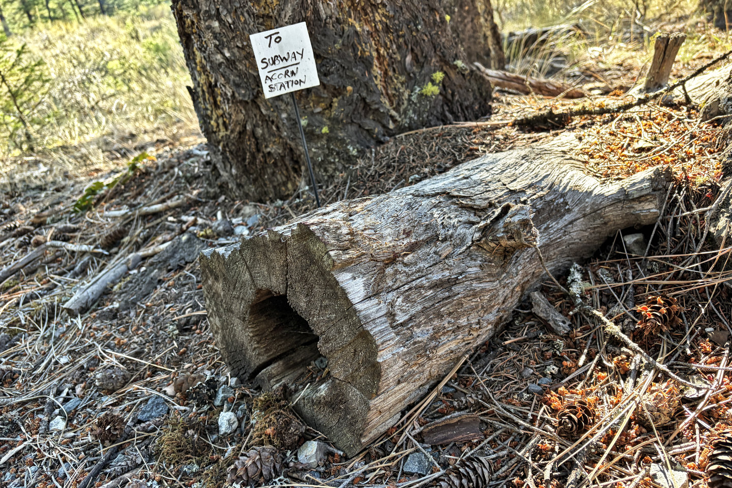 Another, much smaller, sign
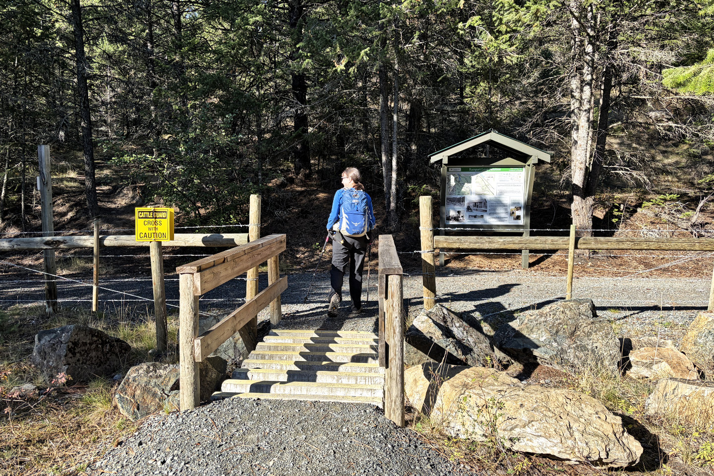 The route crosses Chief Isadore Trail, a former railway, and continues ahead, left of the sign. The sign gives
history and trail information (mouse over).
The route crosses Chief Isadore Trail, a former railway, and continues ahead, left of the sign. The sign gives
history and trail information (mouse over).
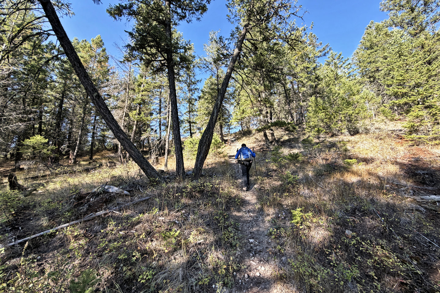 Starting up the ridge
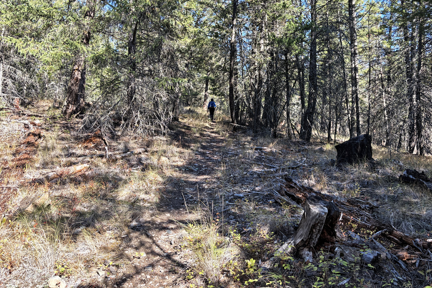 The trail gentlly climbs the ridge
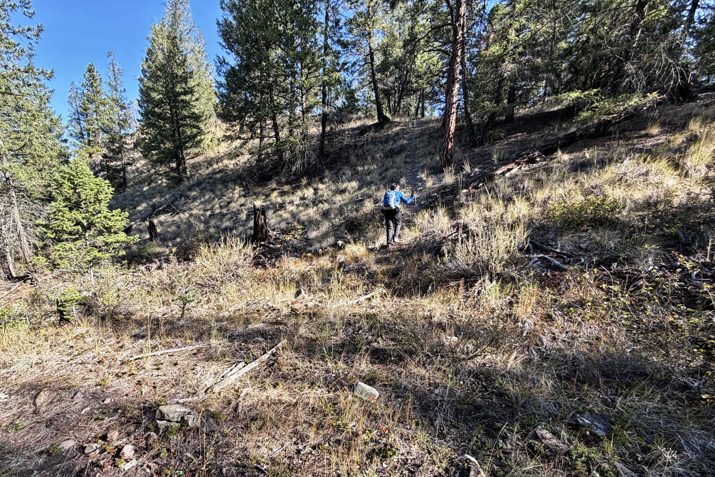 The second of two side trails that lead to
the summit
The second of two side trails that lead to
the summit
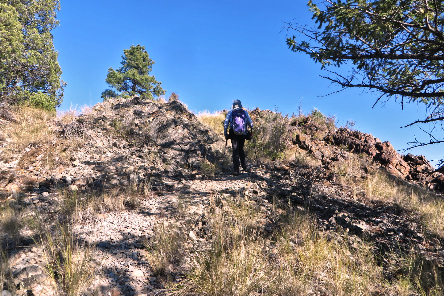 Almost on the summit
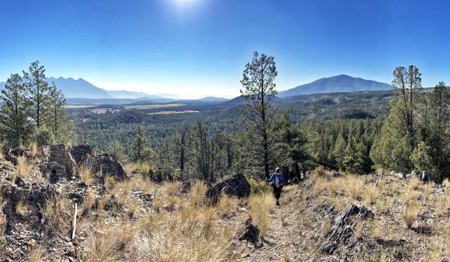 Looking back. Mount Baker on the right.
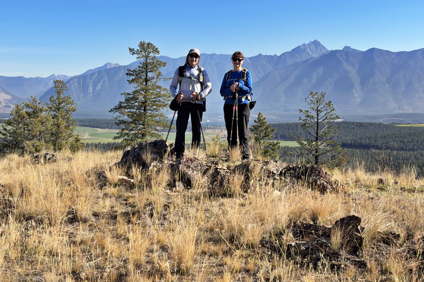 On the summit. Mount Fisher in the background.
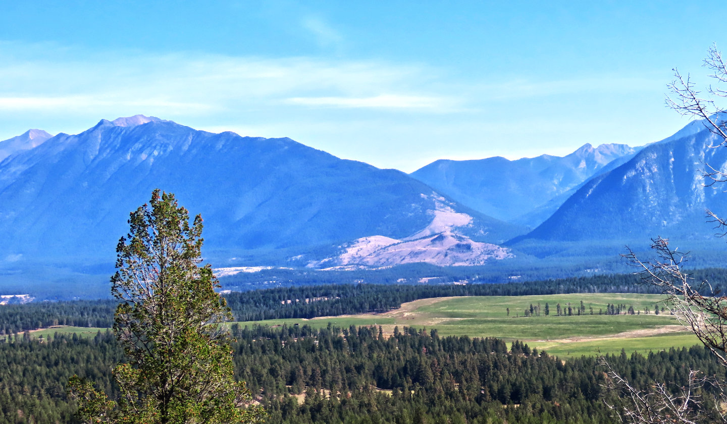 On the left, Lakit Mountain sits in front of Mount Bill Nye. Lower down, the brown hills are
Brewery Ridge (mouse over for a close-up).
On the left, Lakit Mountain sits in front of Mount Bill Nye. Lower down, the brown hills are
Brewery Ridge (mouse over for a close-up).
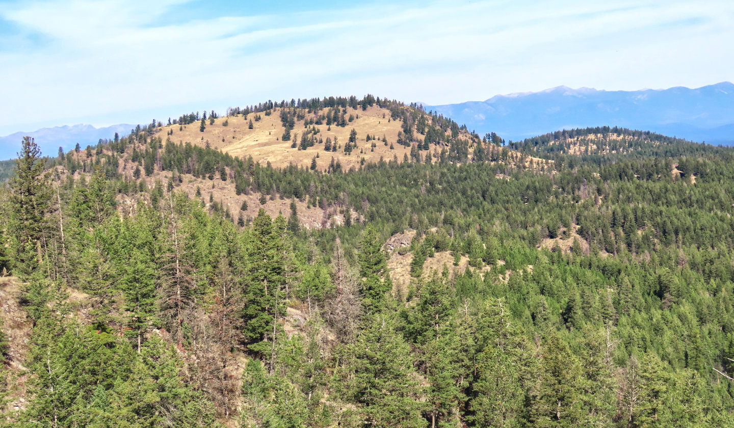 Eager Hill
is north, close by
Eager Hill
is north, close by
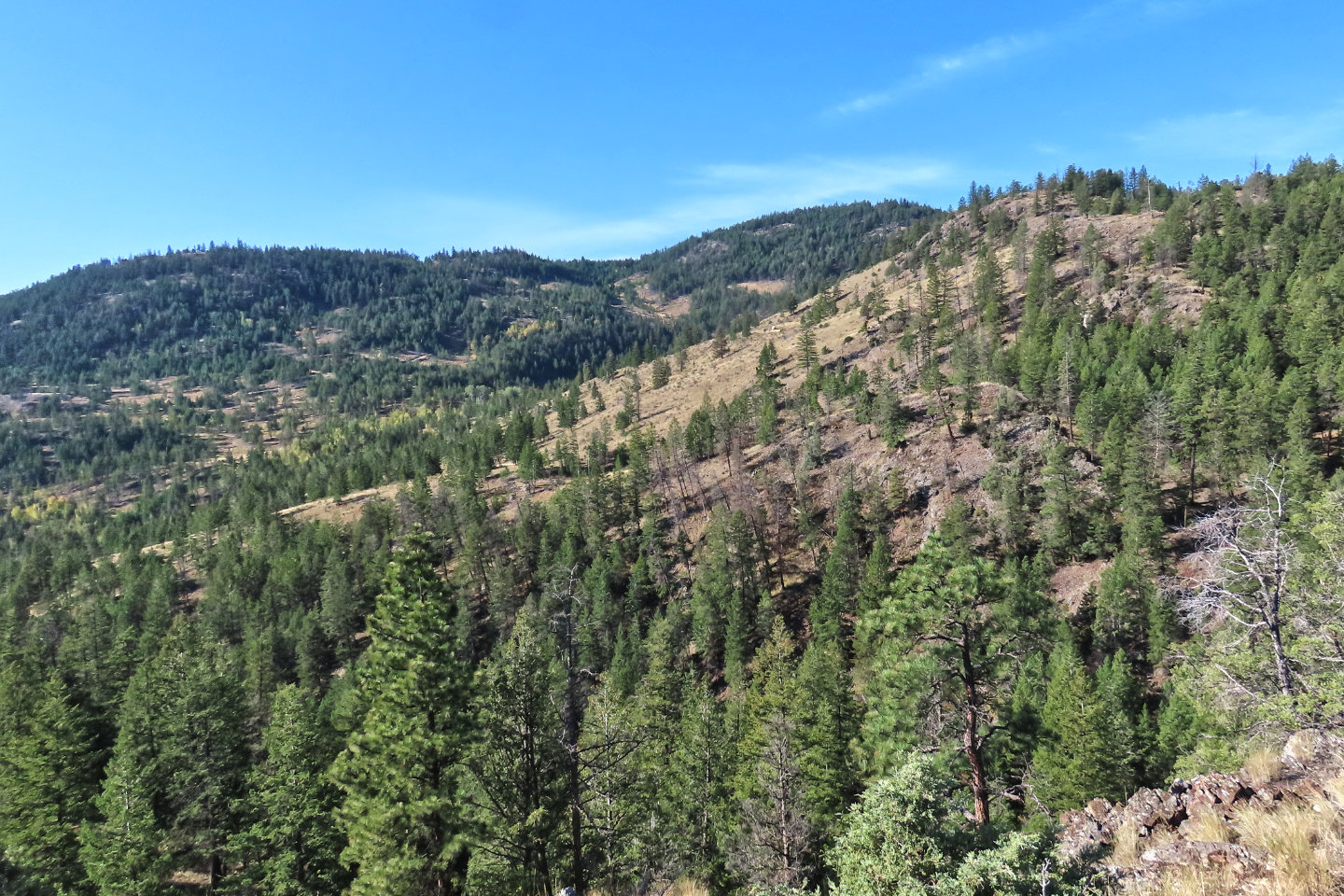 Looking west, the hill on the right must be
Rampart West Bump
Looking west, the hill on the right must be
Rampart West Bump
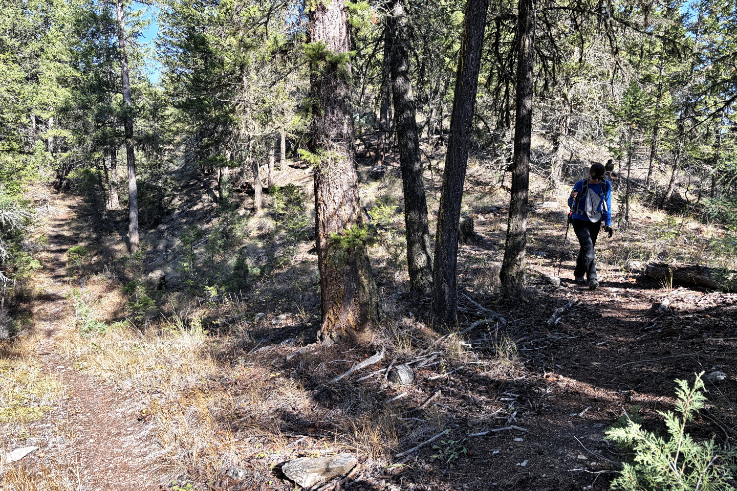 We followed the ridge trail back to the main
trail, nicer than the other trail we went up
We followed the ridge trail back to the main
trail, nicer than the other trail we went up
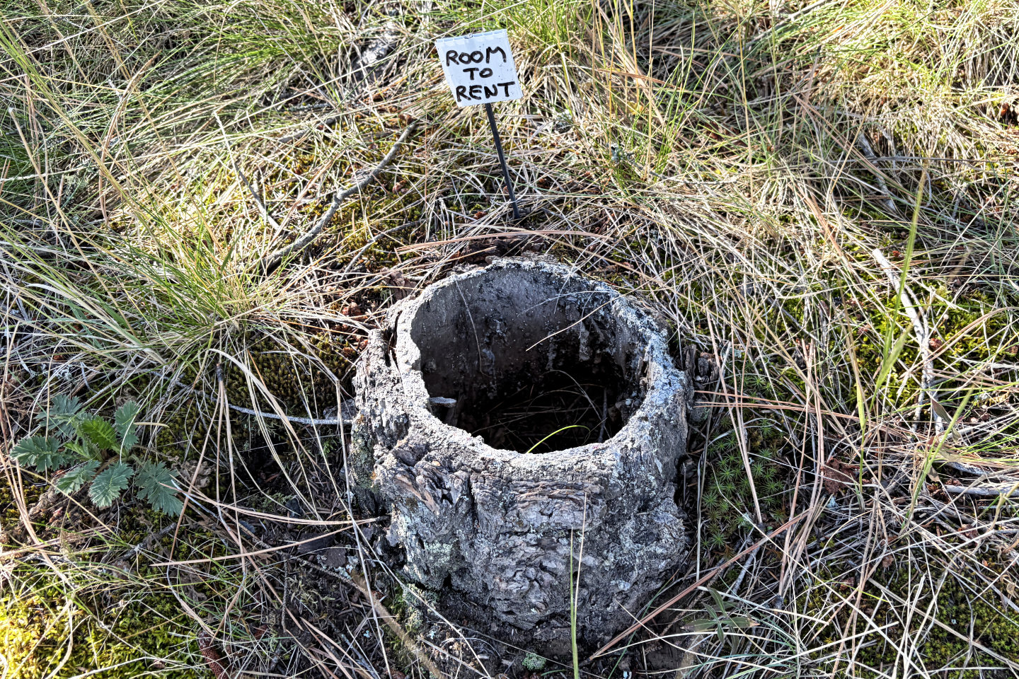 On the way back, we found another strange,
tiny sign
On the way back, we found another strange,
tiny sign