bobspirko.ca | Home | Canada Trips | US Trips | Hiking | Snowshoeing | MAP | ABOUT
 Panorama from unofficial Mt Rose
Mount Rose (Mount Rose Swanson)
Spallumcheen Valley, B.C.
May 5, 2025
Distance: 7.4 km (4.6 mi)
Cumulative Elevation Gain: 357 m (1171 ft)
Venturing far from Kamloops, Dinah and I drove nearly an hour and a half southeast to hike Mount Rose. Using Mount Rose Swanson Trails, we completed a loop that led to two unofficial summits. Mount Rose Swanson isn’t a mountain but a collection of clearly marked paths on Mount Rose. No trails reach the summit of Mount Rose, and there are no trails whatsoever on Mount Swanson, which is over a kilometre away. Based on my observations and research, reaching either viewless summit involves navigating dense slopes filled with deadfall and undergrowth.
However, hikers can use the trails to access the “locally accepted” summits of Mount Rose and Mount Swanson. They are or were signs and a map on the trails depicting the locally accepted summits (see Steven Song’s Mount Rose), but we didn’t come across them. The locally accepted summits are far from the official summits; essentially, they are viewpoints. Adding to the confusion, a 2016 BC government topographic map places Mount Rose where the locally accepted Mount Swanson is (see map below). Other maps depict Mount Rose 200 m north of the benchmark.
From the parking area, two wide, parallel trails, Aspen and Centennial, run to the unofficial summits. Dinah and I went up Aspen and came down Centennial. Aspen meanders through a forest and gently ascends the locally accepted summit of Mount Rose, which provided the best vista on our hike. We enjoyed the view of Otter Lake and the north end of Okanagan Lake before turning onto Jackpine, a U-shaped trail. Jackpine leads to three significant locations: a high point with a benchmark, Turner’s Terrace, and the locally accepted summit of Mount Swanson. The benchmark was a viewless highest point, just a few metres lower than the official summit of Mount Rose. Turner’s Terrace and the locally accepted summit of Mount Swanson offered limited views but were nonetheless a welcome break after a long trek through the woods. We continued on Jackpine and reached Centennial, following it back to the parking area.
After a delightful hike on Mount Rose, we anticipated a pleasant drive back through the mountains to Kamloops. However, that didn’t occur. About halfway back, we stopped behind a line of cars several hundred metres long. We learned that somewhere ahead, a flatbed truck carrying a water tank collided with a low-hanging power line while turning onto the highway. The accident caused a power pole to fall on the highway. No fault of the driver, an officer later informed me. We waited an hour and a half for the highway to be cleared.
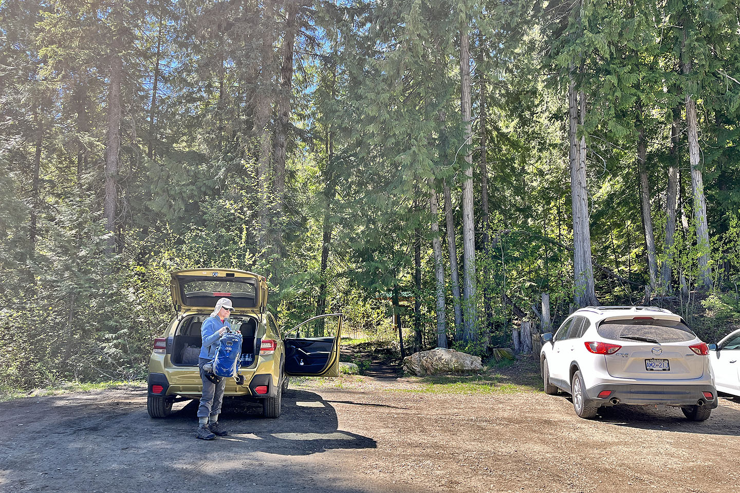 The trailhead
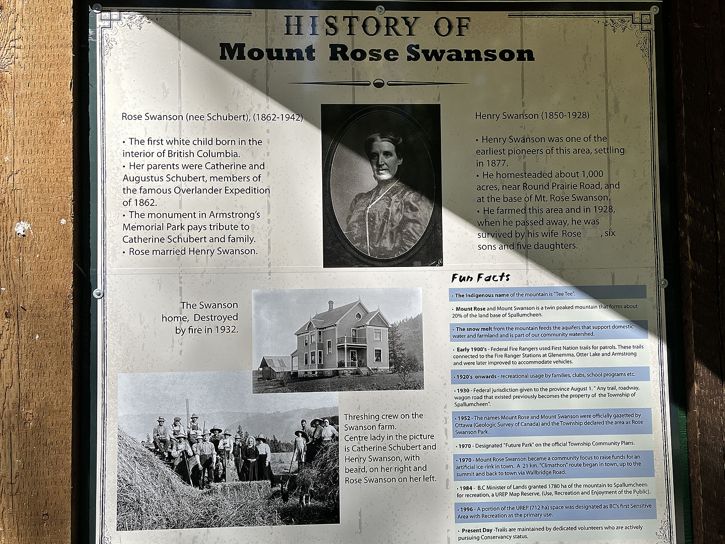 The area was named after Rose Swanson
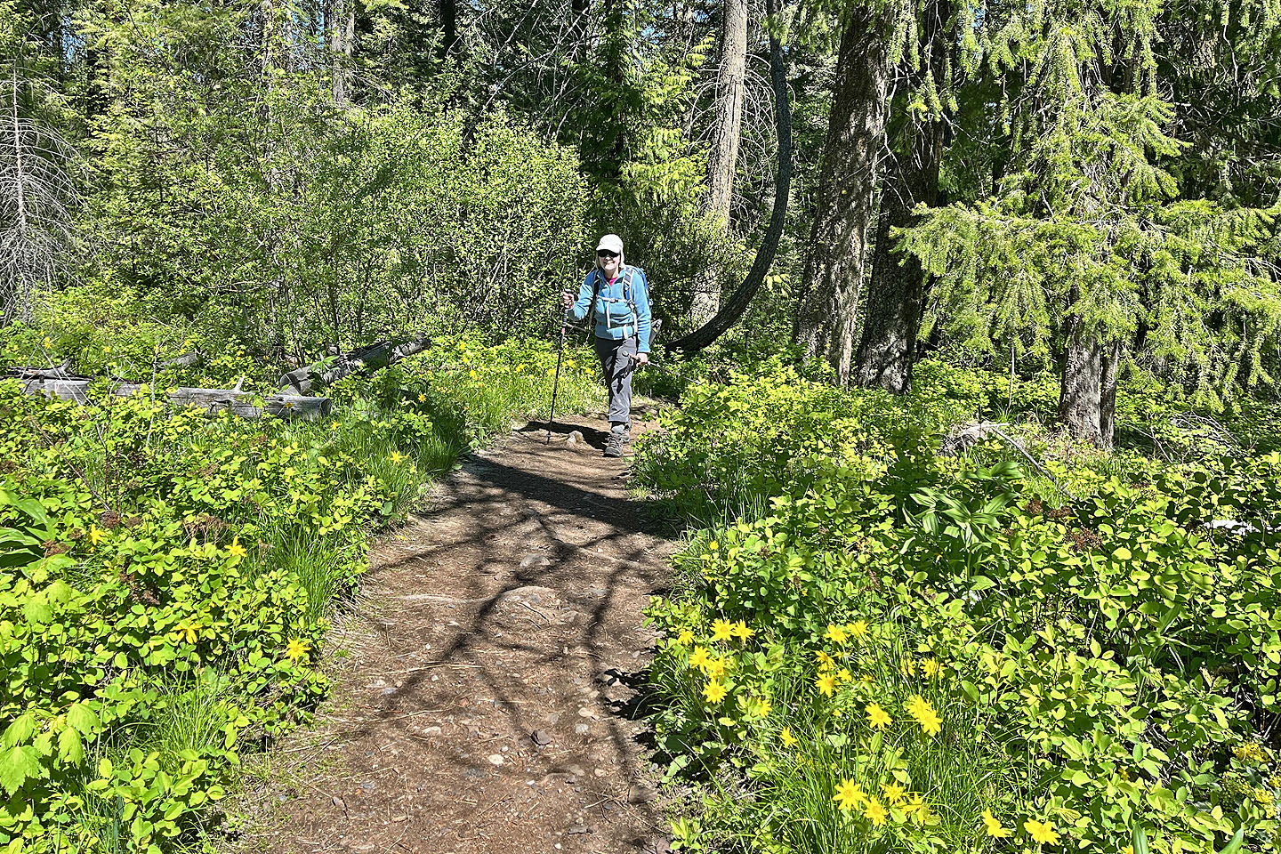
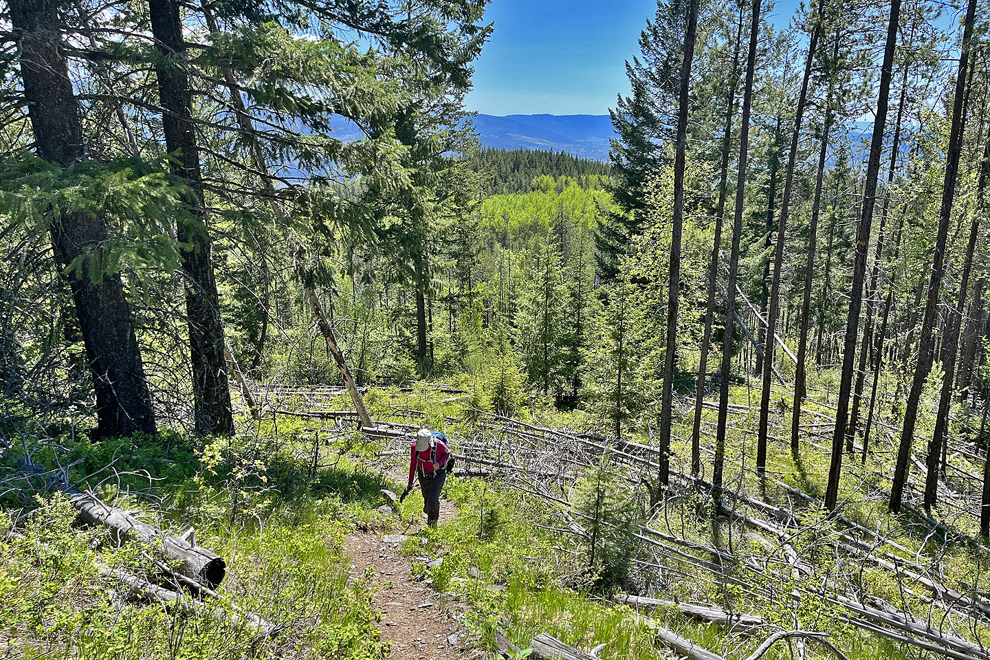
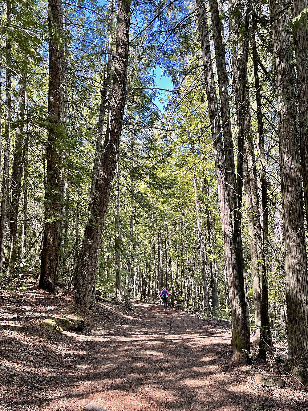
 Going up Aspen Trail
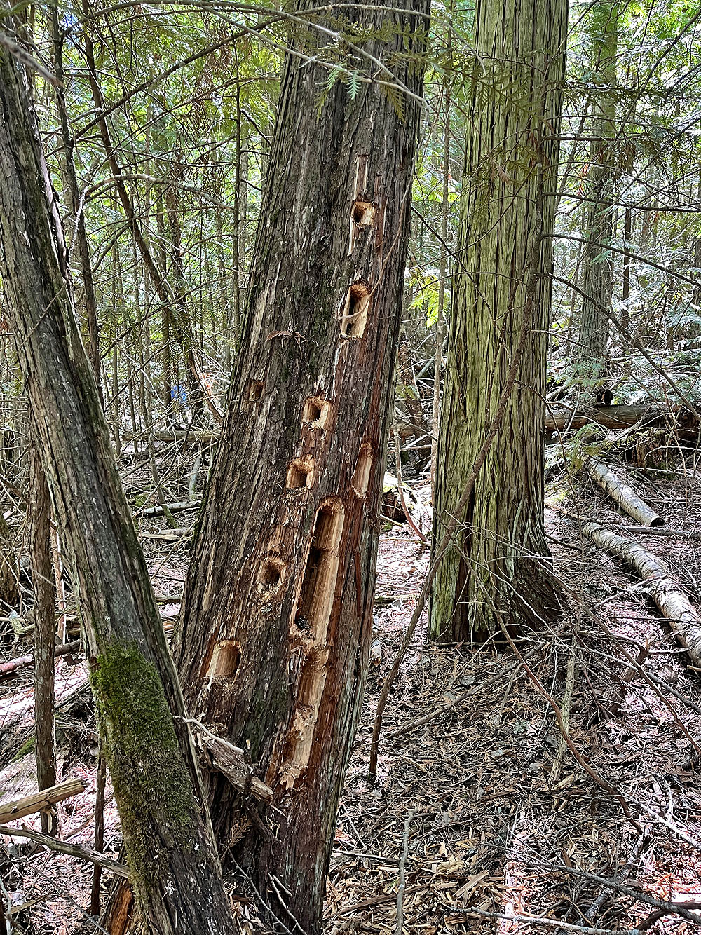
A tree popular with woodpeckers
 Heartleaf arnica lined the trail here
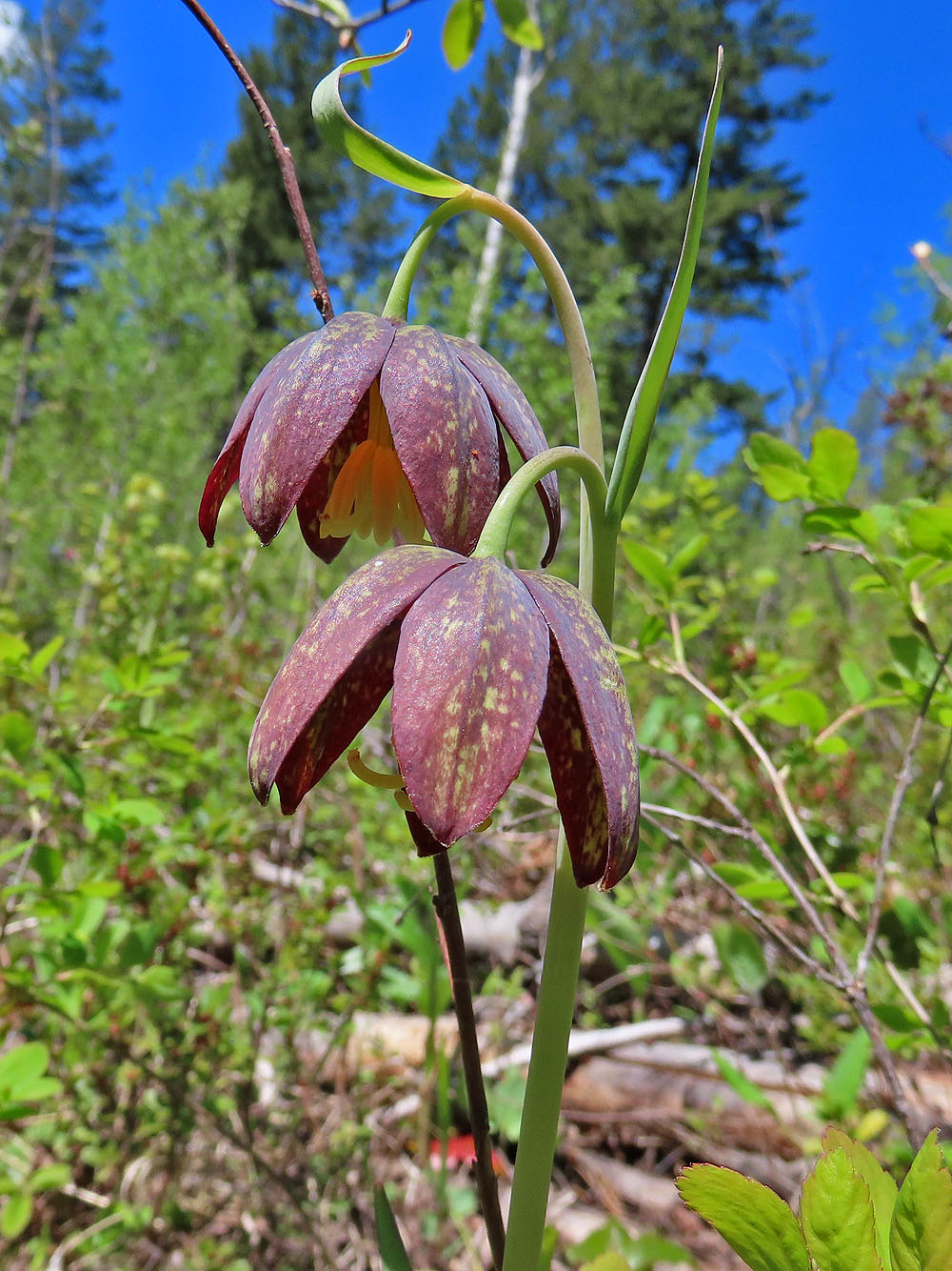
Chocolate lily
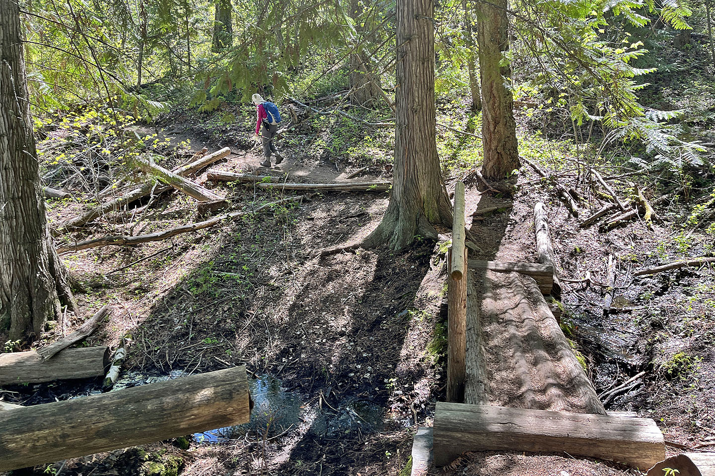 The trail crosses a log bridge
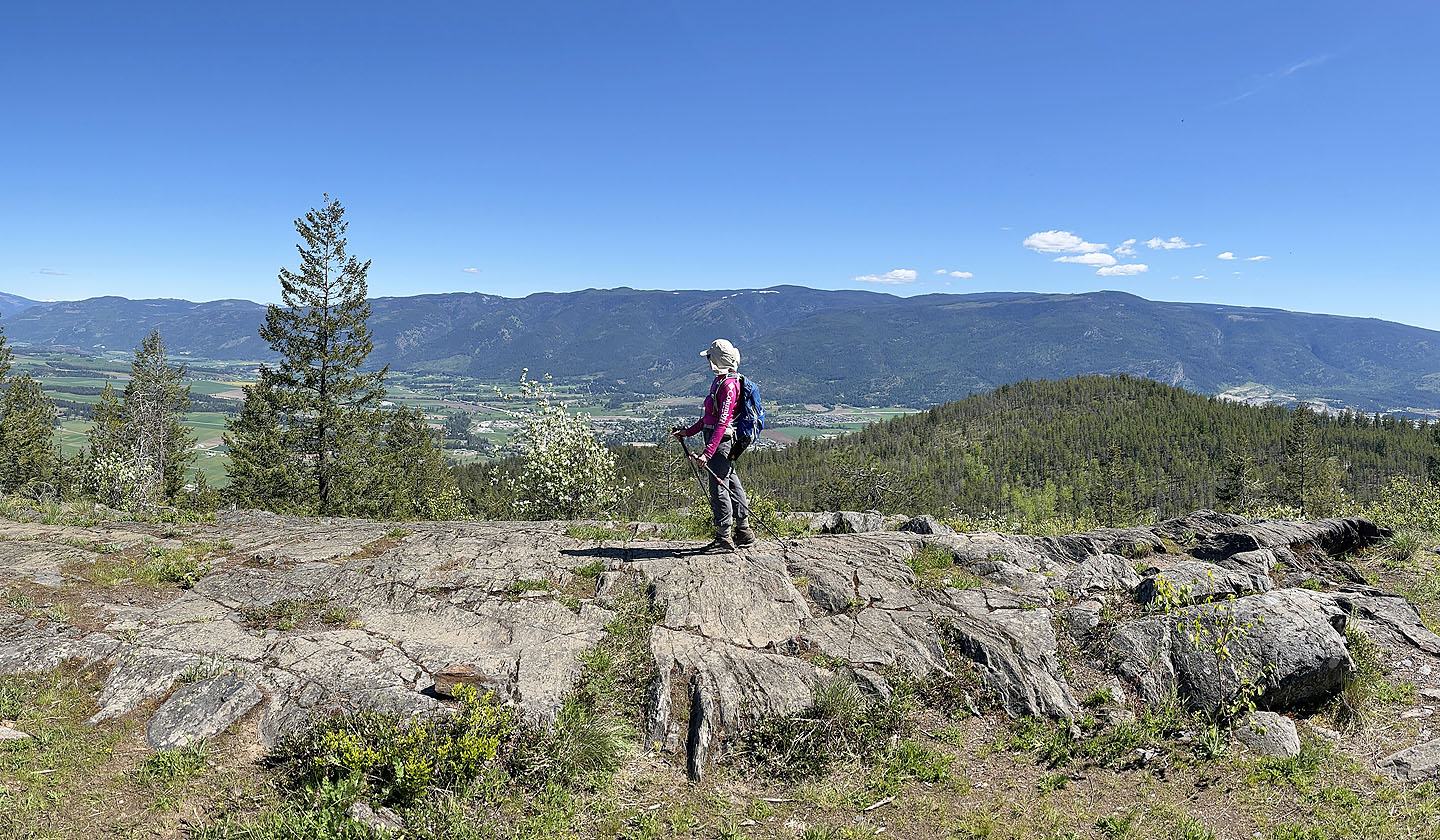
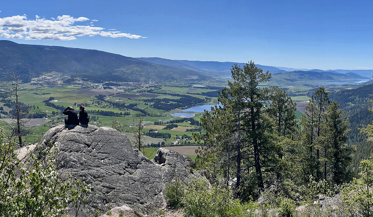 View from locally accepted summit of Mt Rose. Otter Lake below and Okanagan Lake far right.
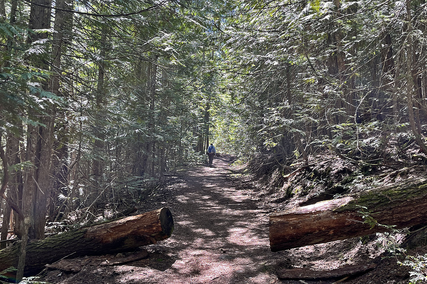
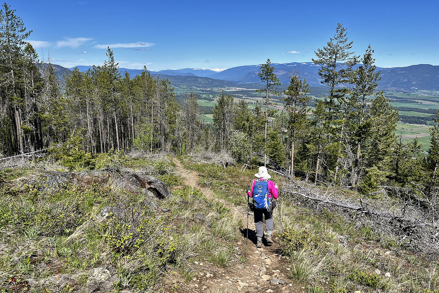
 Continuing along Centennial Trail
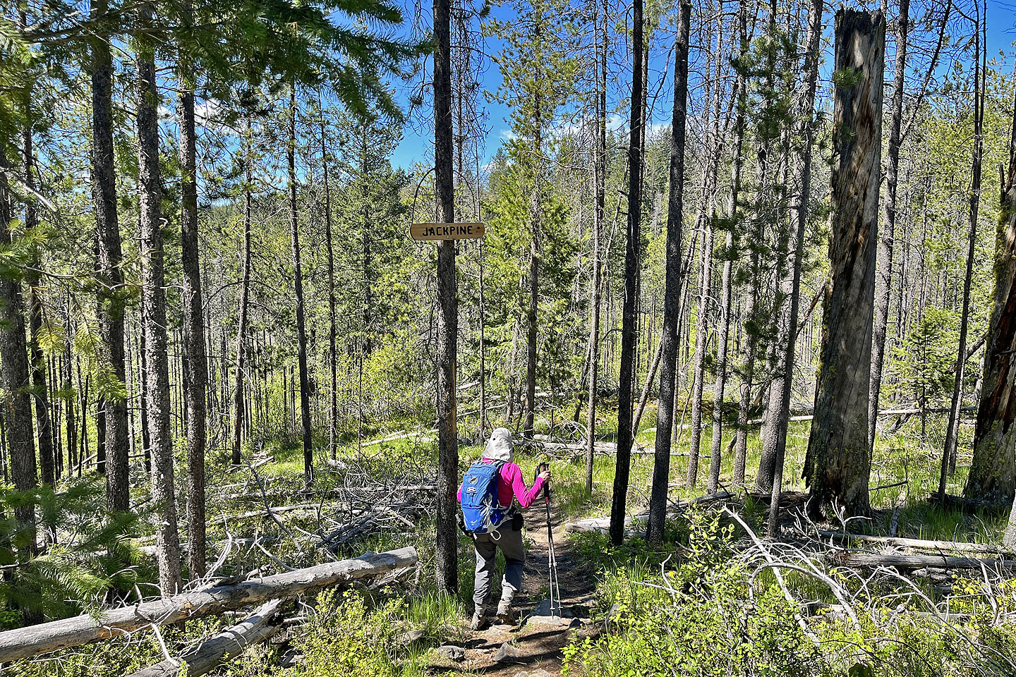 We took Jackpine which led to the benchmark and the locally accepted Mt Swanson
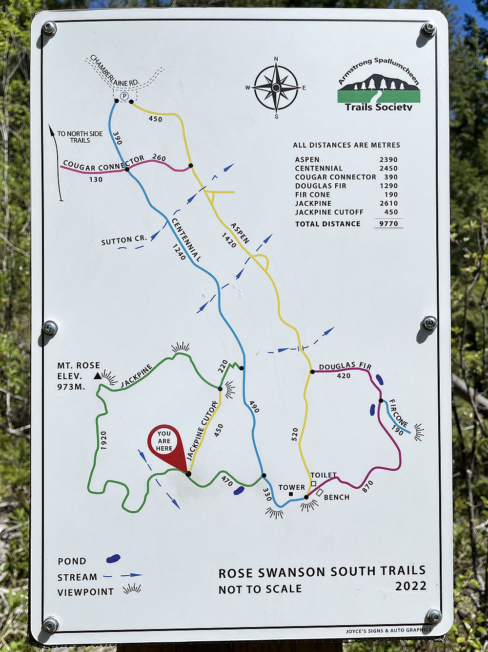
Maps were posted at major junctions
 Not much to see outside the viewpoints
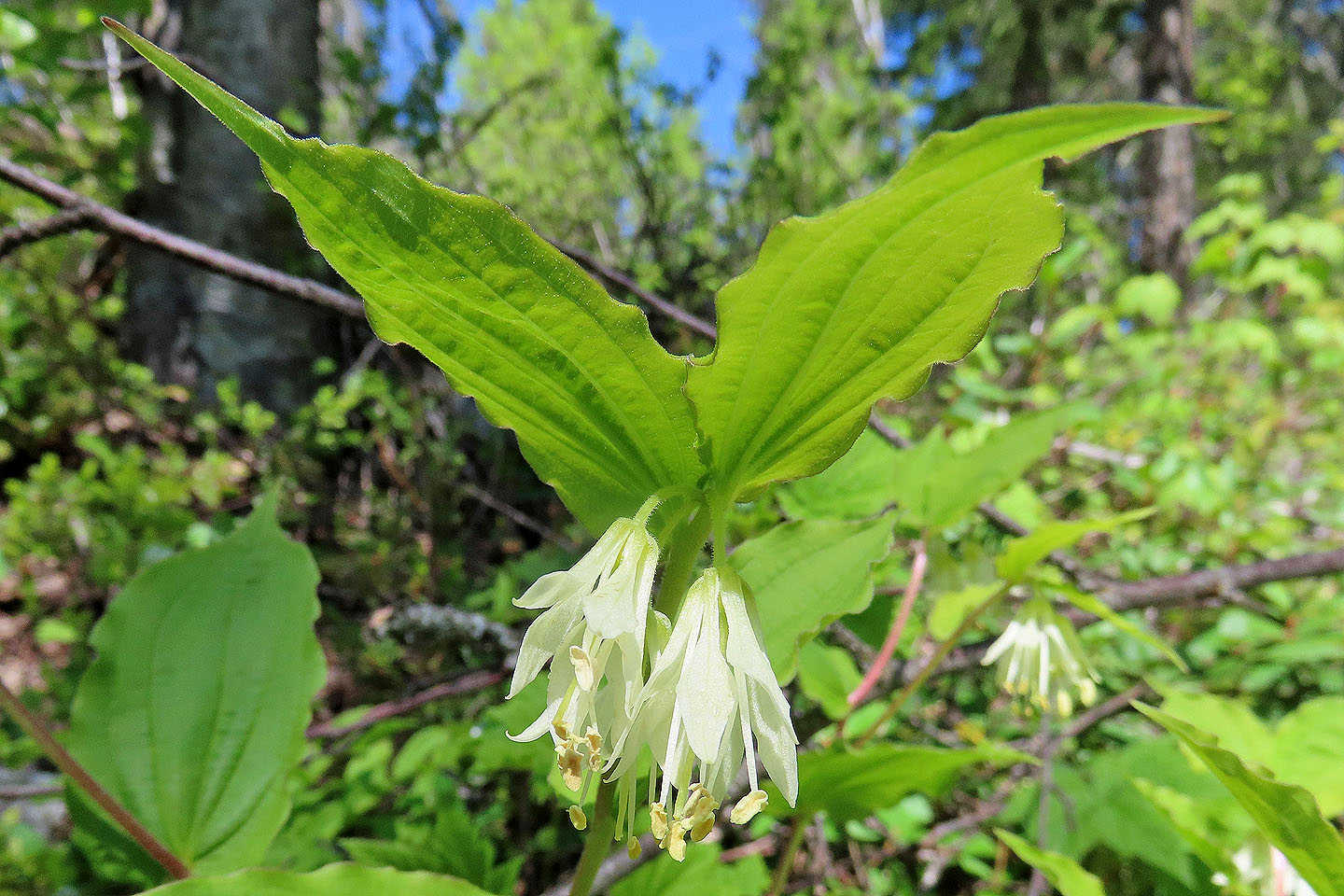 Fairybells
 The trail climbs to the benchmark high point
 Benchmark high point. A striking cloud formation hangs above Mount Swanson. Mount Rose is somewhere right, hidden by tall trees.
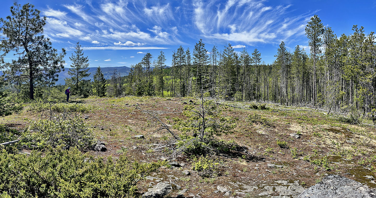
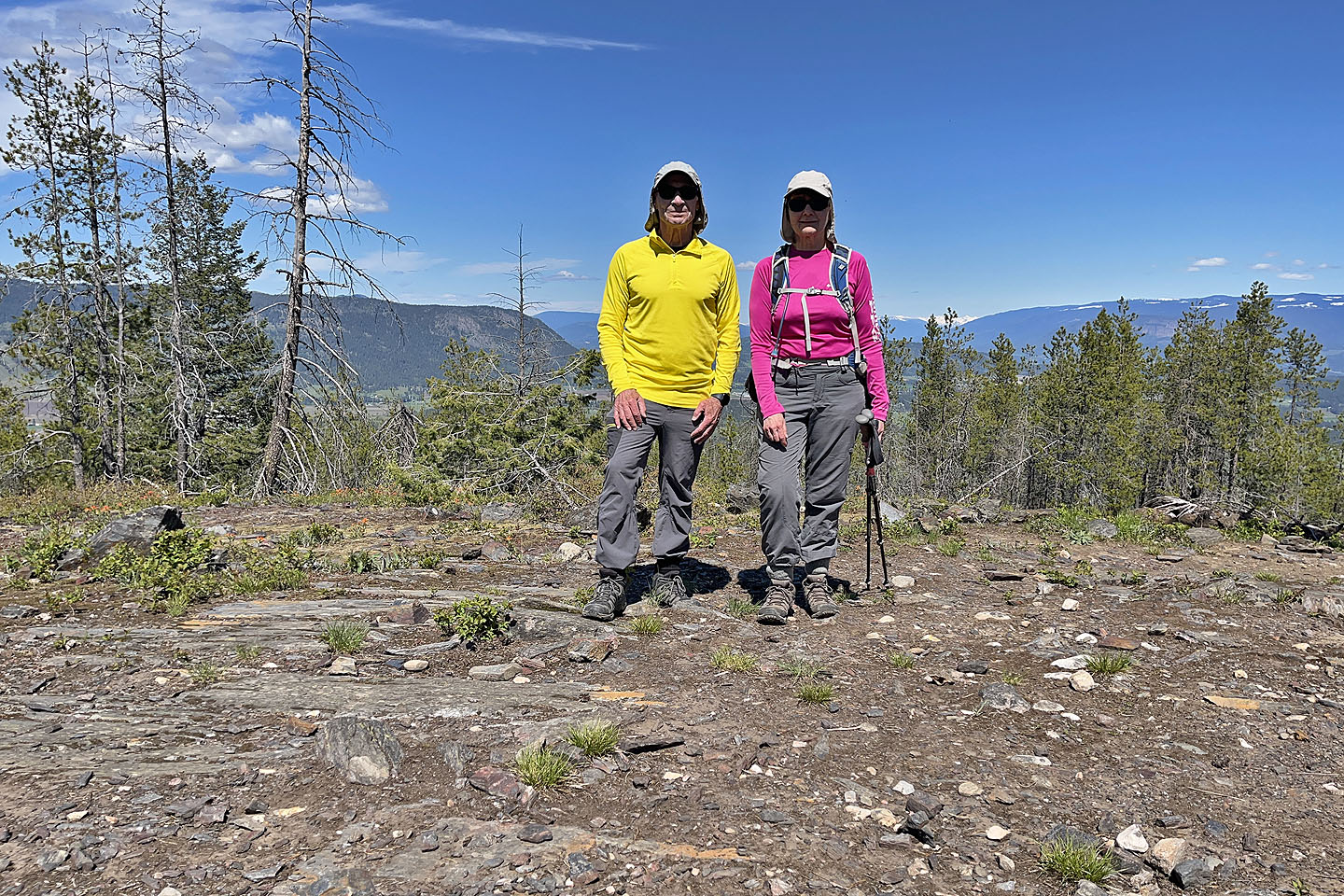 We stopped on Turner's Terrace
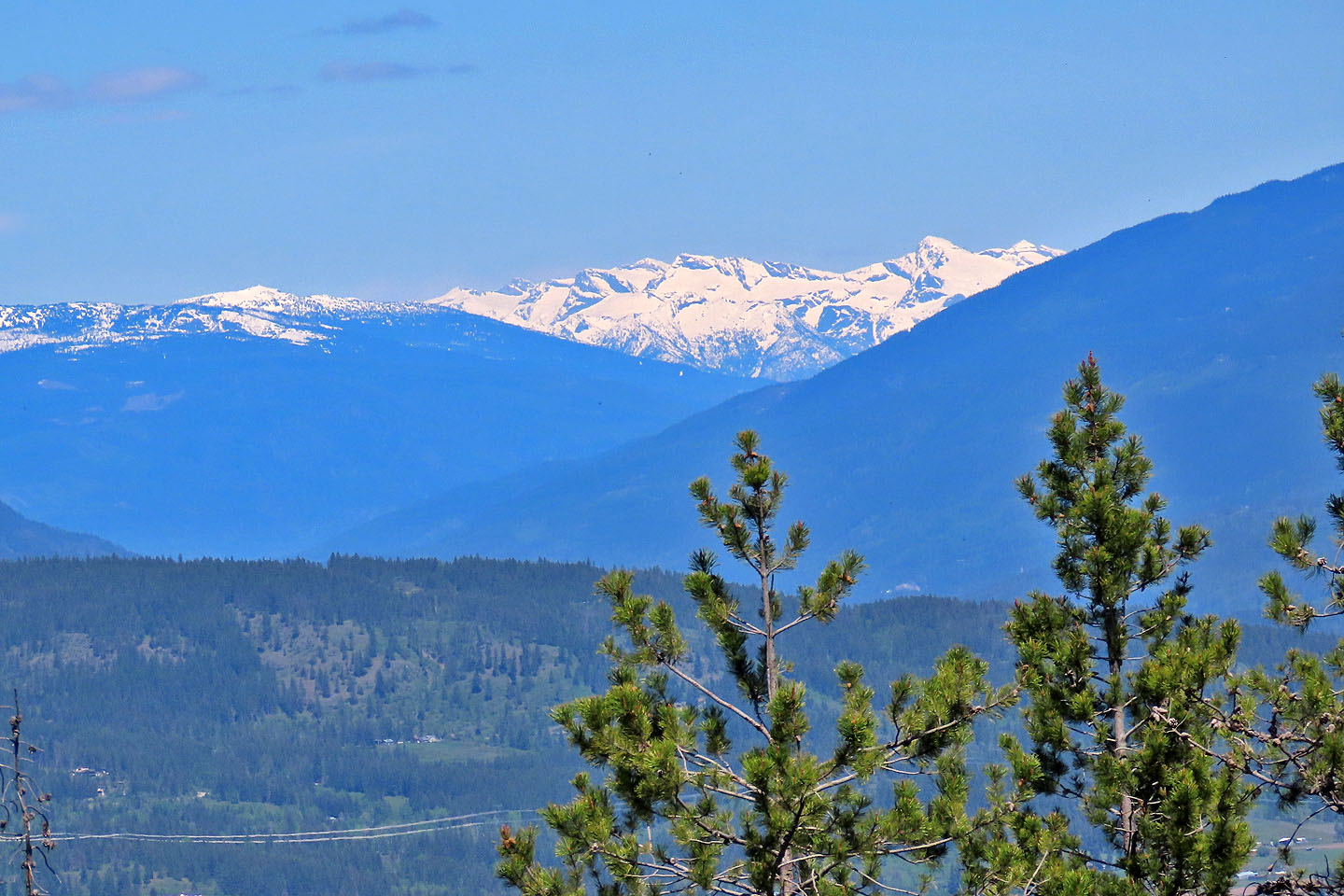 Behind us, 125 km northeast, is snow-capped Schrund Peak
 Continuing on Jackpine from Turner's Terrace
 Locally accepted summit of Mt Swanson
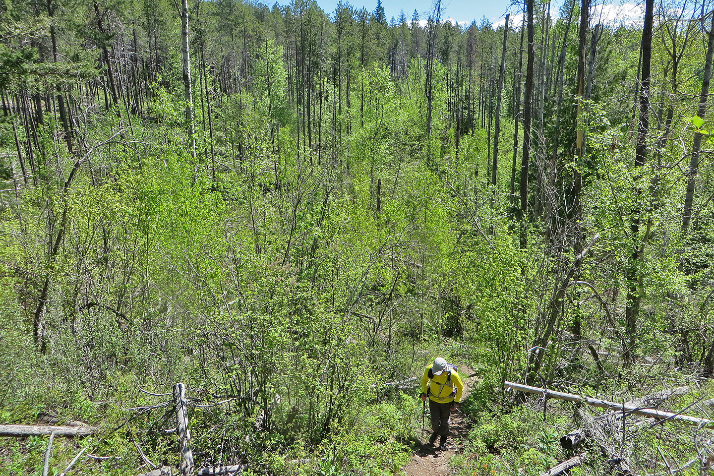
 Heading down Jackpine
We followed Centennial Trail back to the parking lot
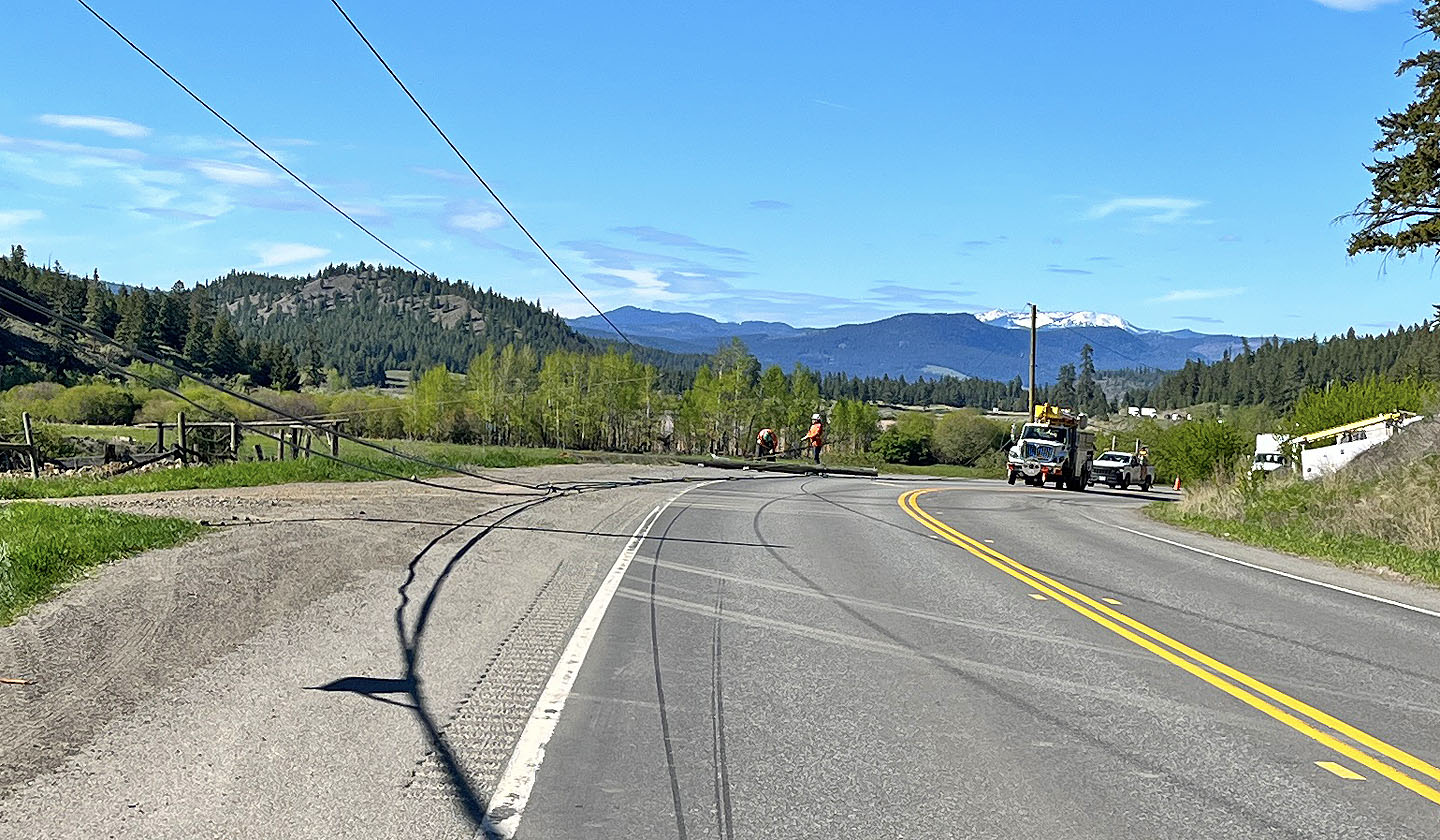 On our drive back, we stopped for a fallen hydro line to be cleared from the road. I walked several hundred metres up the highway, past a line of vehicles, and took this photo.
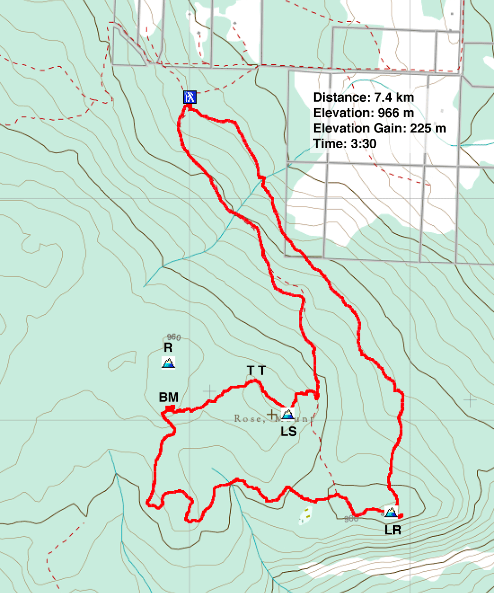
R=Mt Rose, BM=Benchmark, TT=Turner's Terrace, LS=Locally Accepted Mt Swanson, LR=Locally Accepted Mt Rose