bobspirko.ca | Home | Canada Trips | US Trips | Hiking | Snowshoeing | MAP | About

Little Onion Mountain
Babine Mountains Provincial Park, B.C.
August 8, 2026
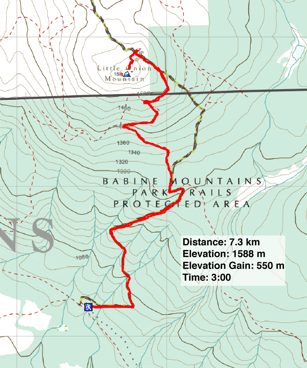
Distance: 7.3 km (4.5 mi)
Cumulative Elevation Gain: 565 m (1854 ft)
In the winter, snowmobilers pay to use the wide trail up Little Onion, but hikers can use it for free. Little Onion is a subpeak of Big Onion Mountain, and although smaller, Little Onion affords fine views from its open summit. Next to Big Onion, separated by a saddle, is a higher peak called Astlais Mountain.
The trailhead is 30 minutes east of Smithers. We took Babine Lake Road to Burnt Cabin Road. The latter is a 3 km drive down a gravel road suitable for most vehicles, but watch for potholes. Dinah and I set off up the trail through dense forest. We soon crossed meadows with views of distant mountains before the trail ducks back into the forest. We passed a steel gate, a barrier to off-road vehicles, and continued up. At a fork, we kept left; the right fork goes to Big Onion.
The trail levels off at the base of the summit. This trail also goes to the saddle between Astlais Mountain and Big Onion, but we turned left and followed a brief trail to the bare top of Little Onion. Behind us, Astlais rose 250 m above us.
It was mild and sunny, and we lingered on top looking at the surrounding mountains, although most were too far away to distinguish. We enjoyed this trip, and as we hiked back down the trail, we vowed to return to climb Astlais Mountain.
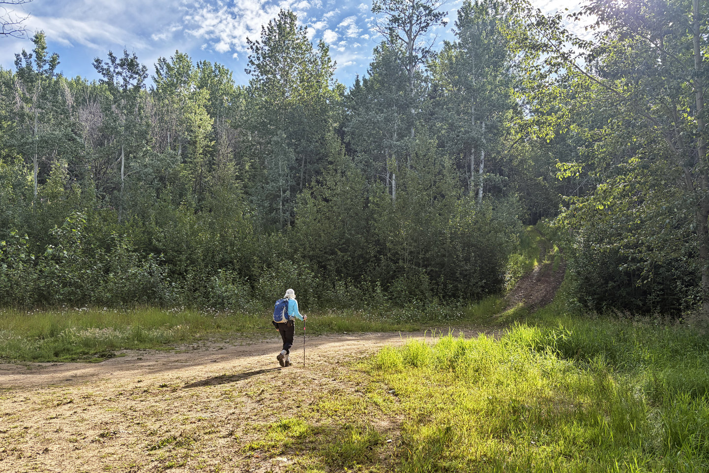 From a large parking lot, we headed to the trail
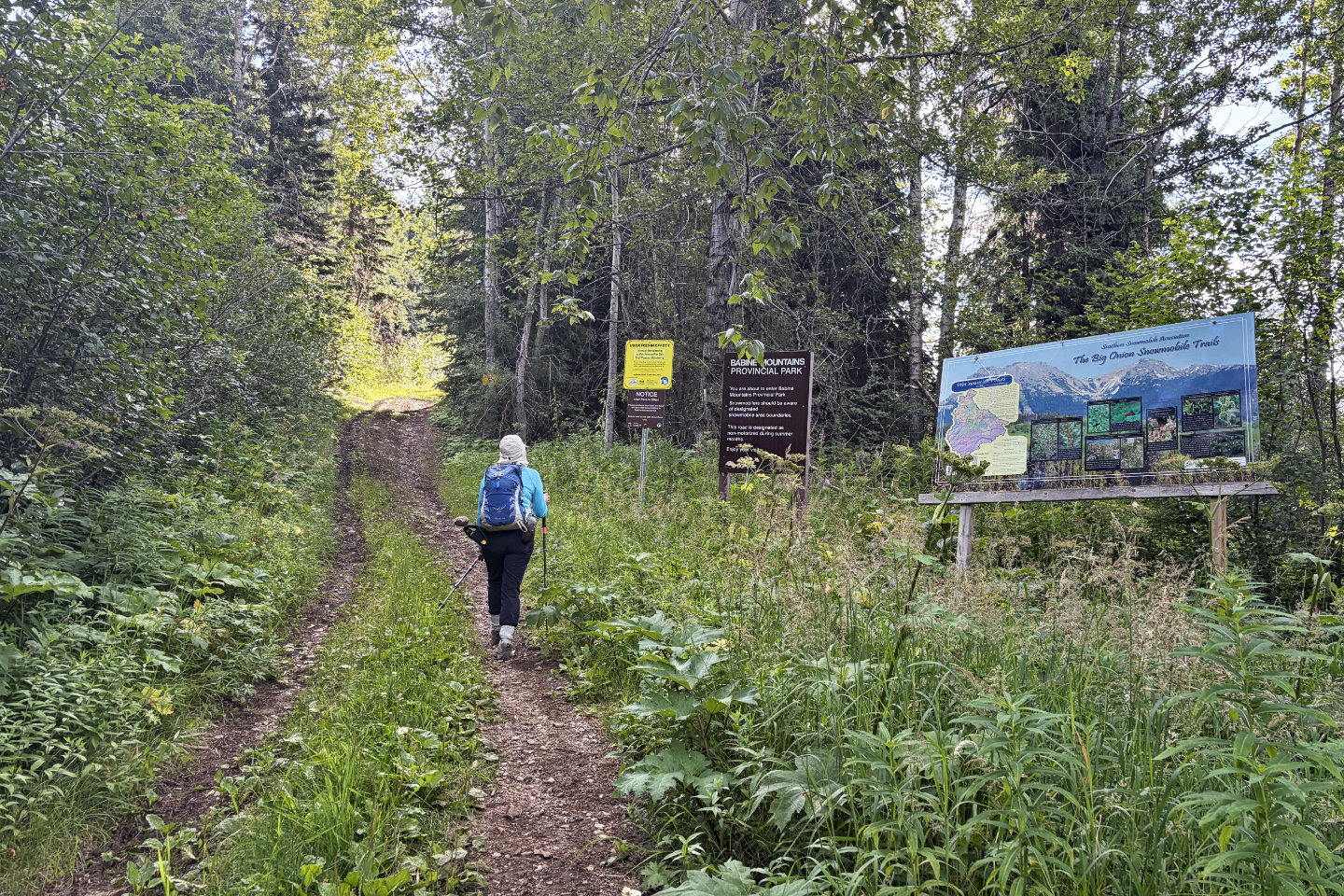 A few minutes later, we passed signs for snowmobilers
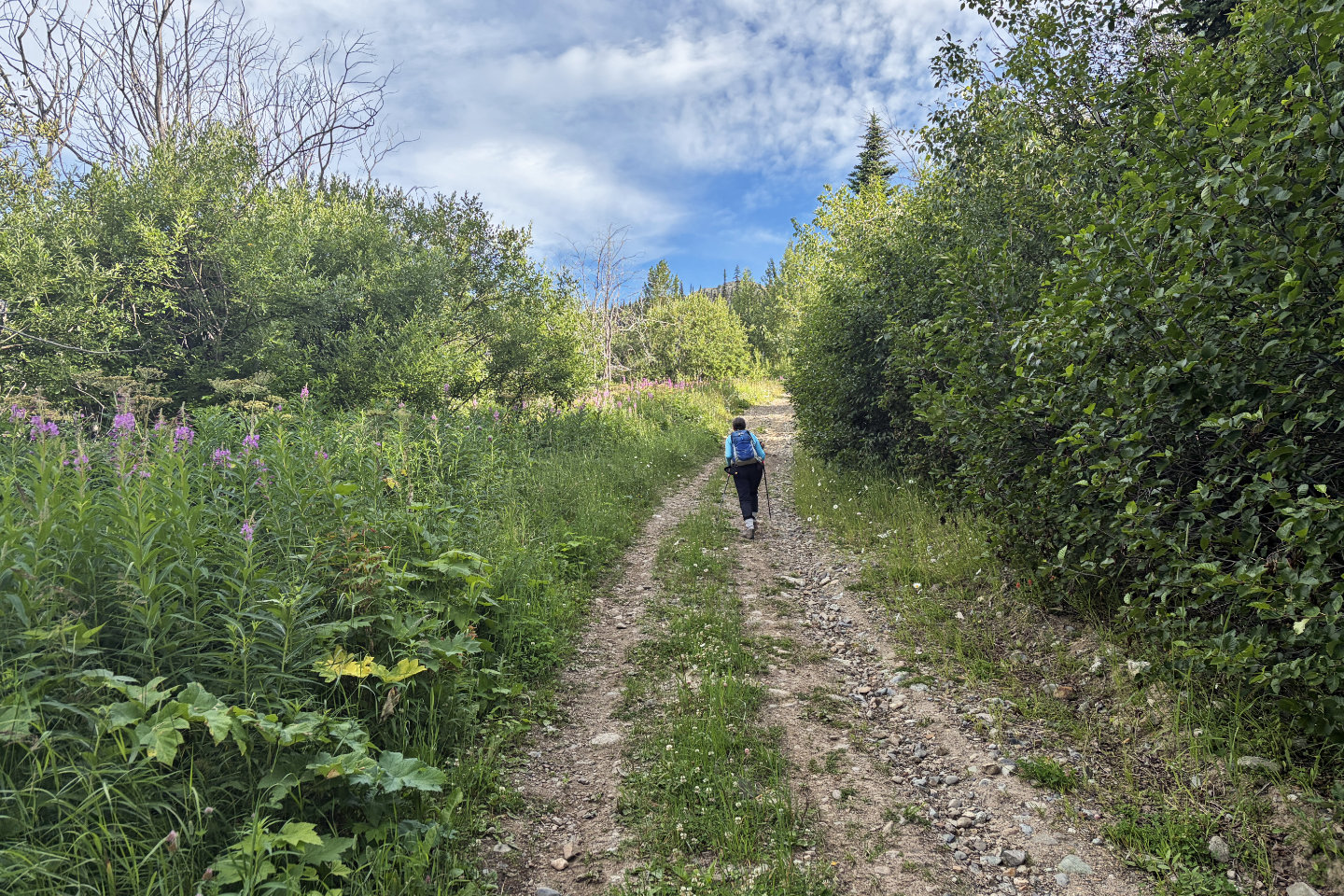 The summit is barely visible ahead
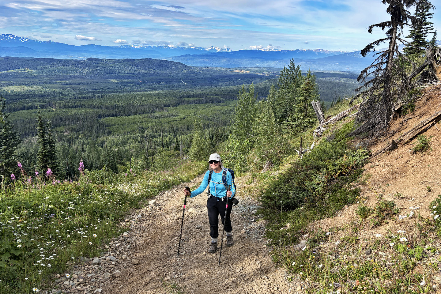 Looking back at Howson Range from a clearing (mouse over for a close-up)
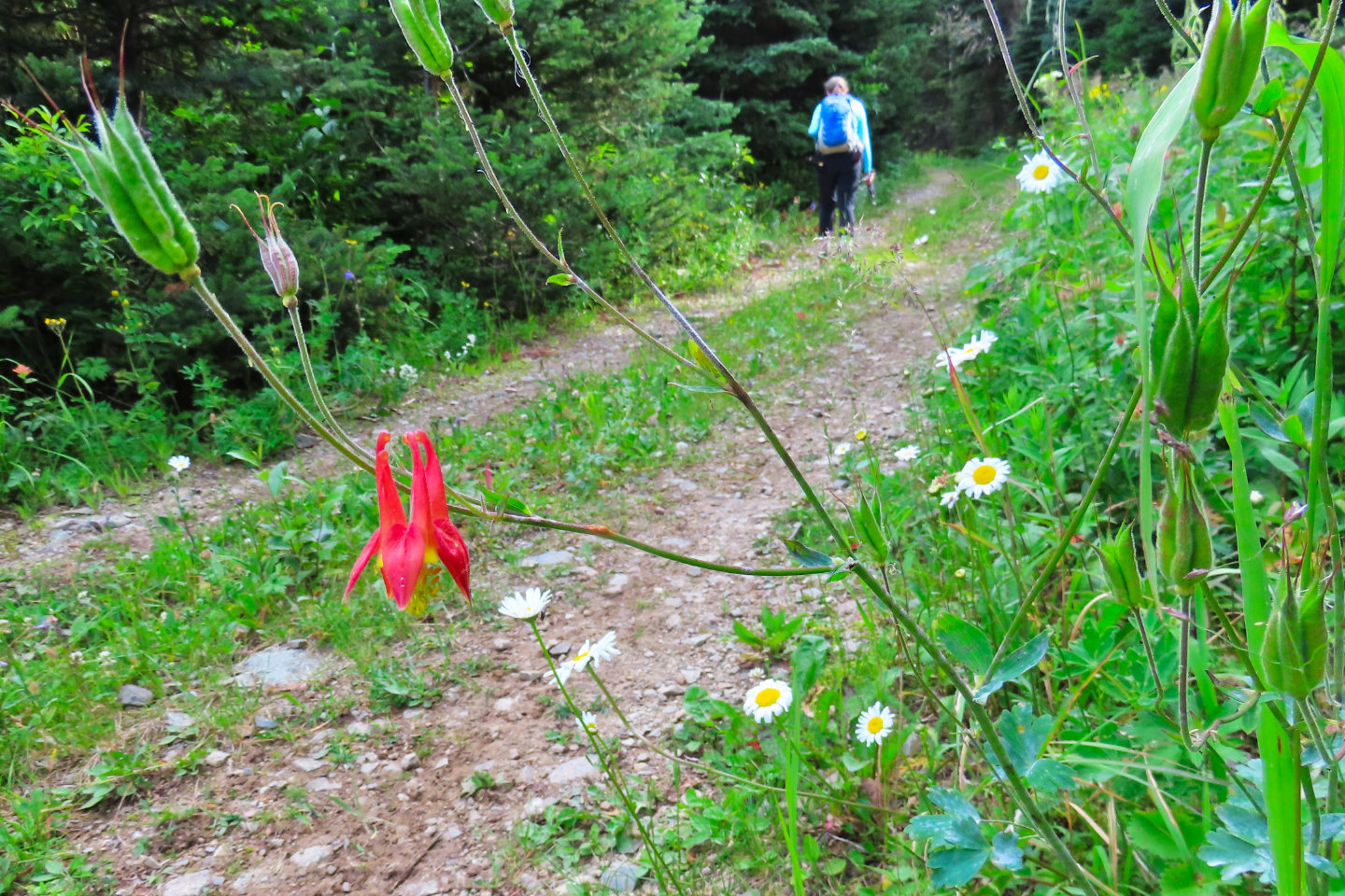 Red columbine
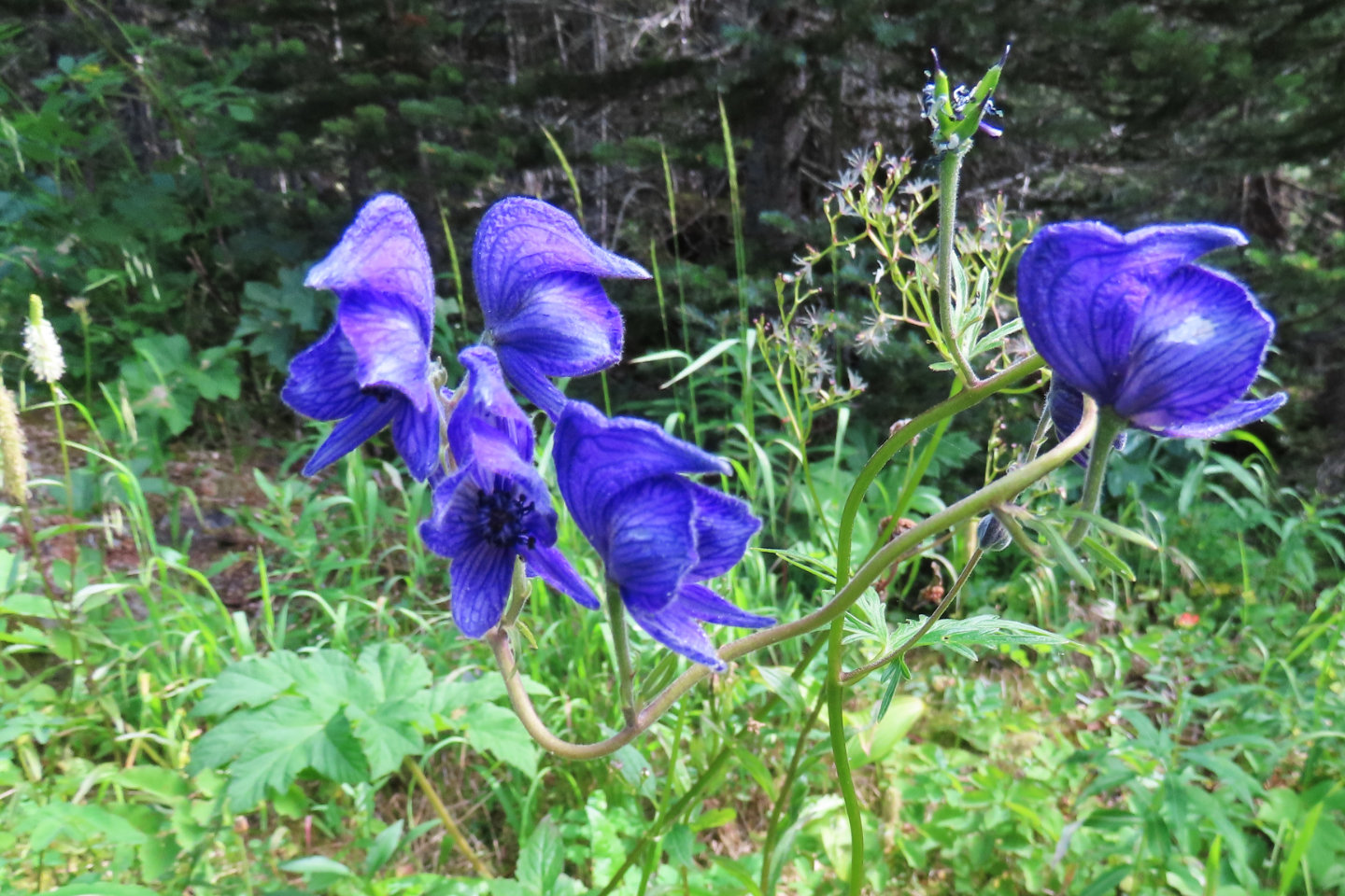 Monkshood
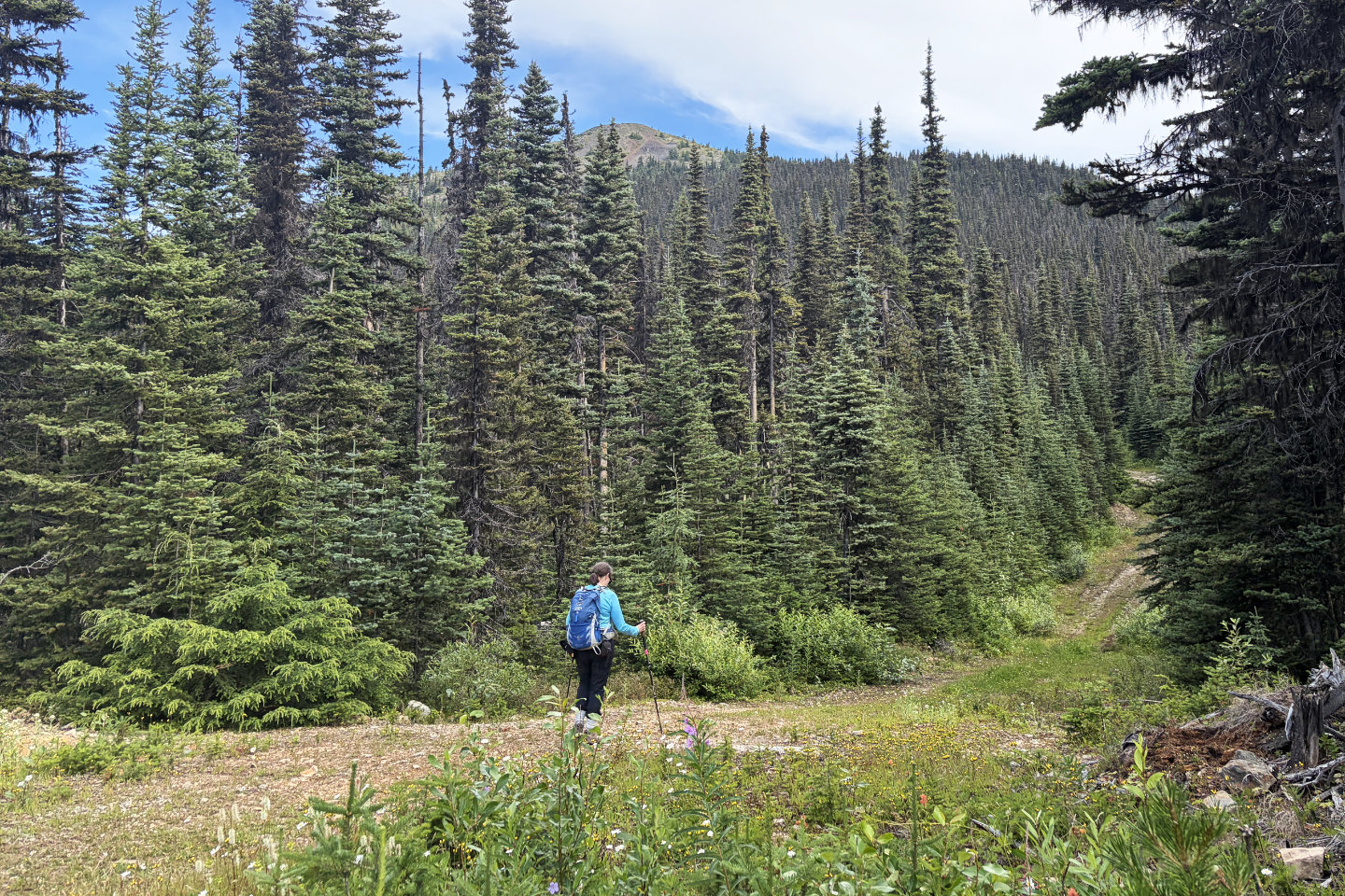 The summit appears closer now
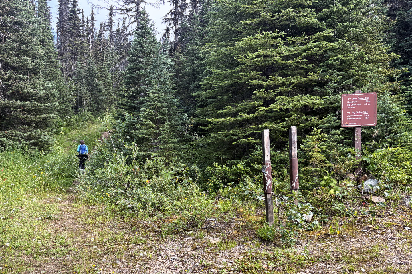 We kept left at the fork. Mouse over to read the sign.
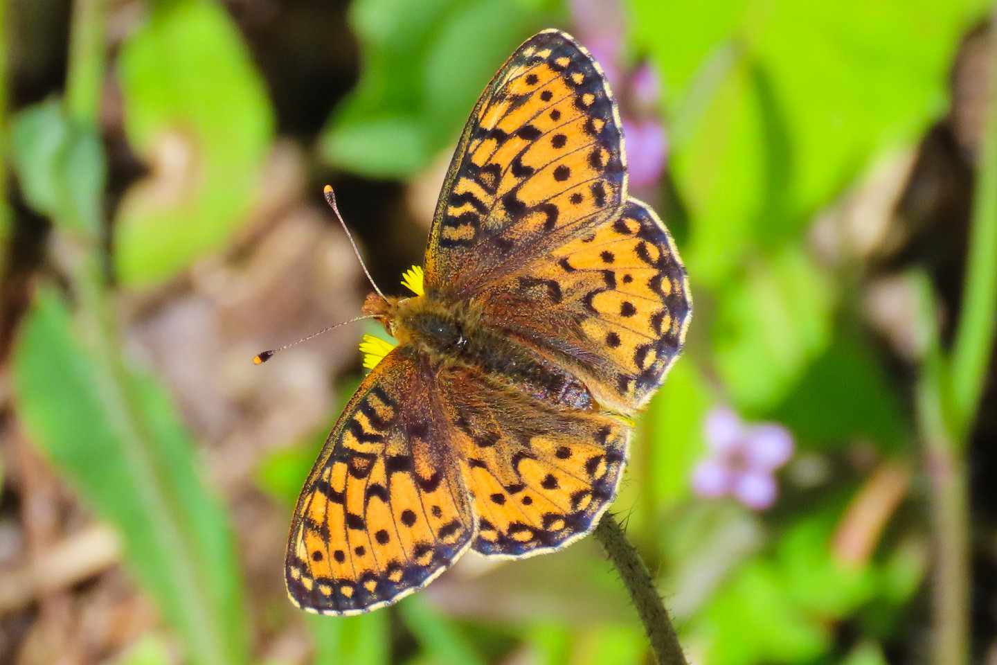 Fritillary butterfly
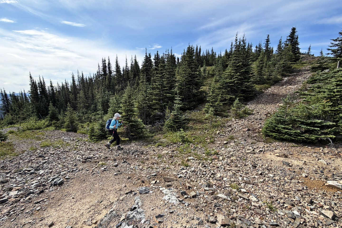 We reached the base of the summit
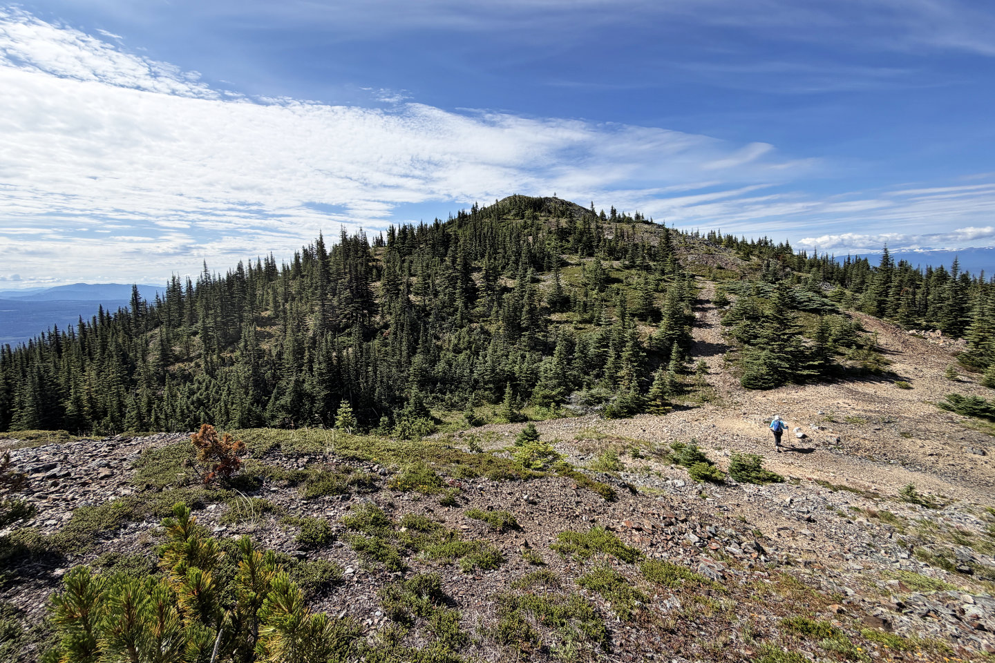 The summit seen from a nearby knoll
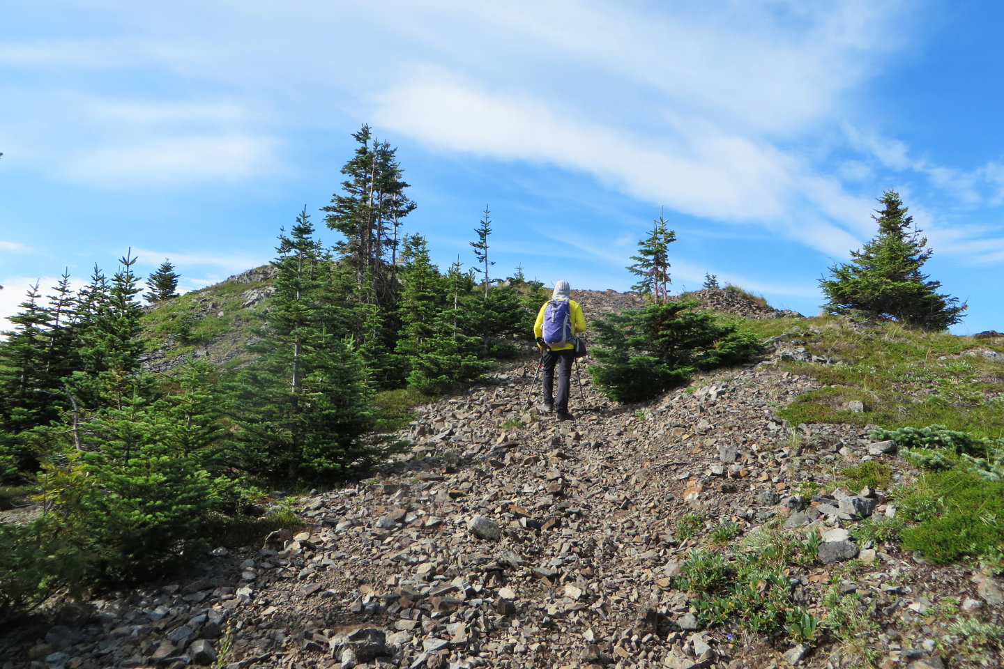 A trail runs to the top
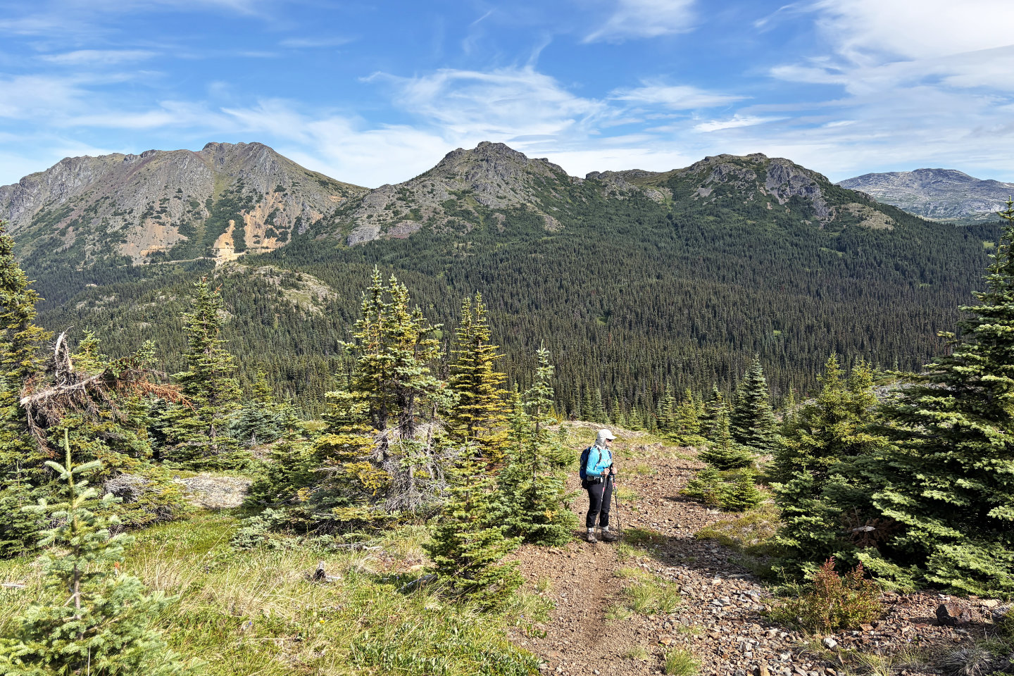 Behind us, the left two mountains are Astlais and Big Onion (mouse over for a close-up of Astlais)
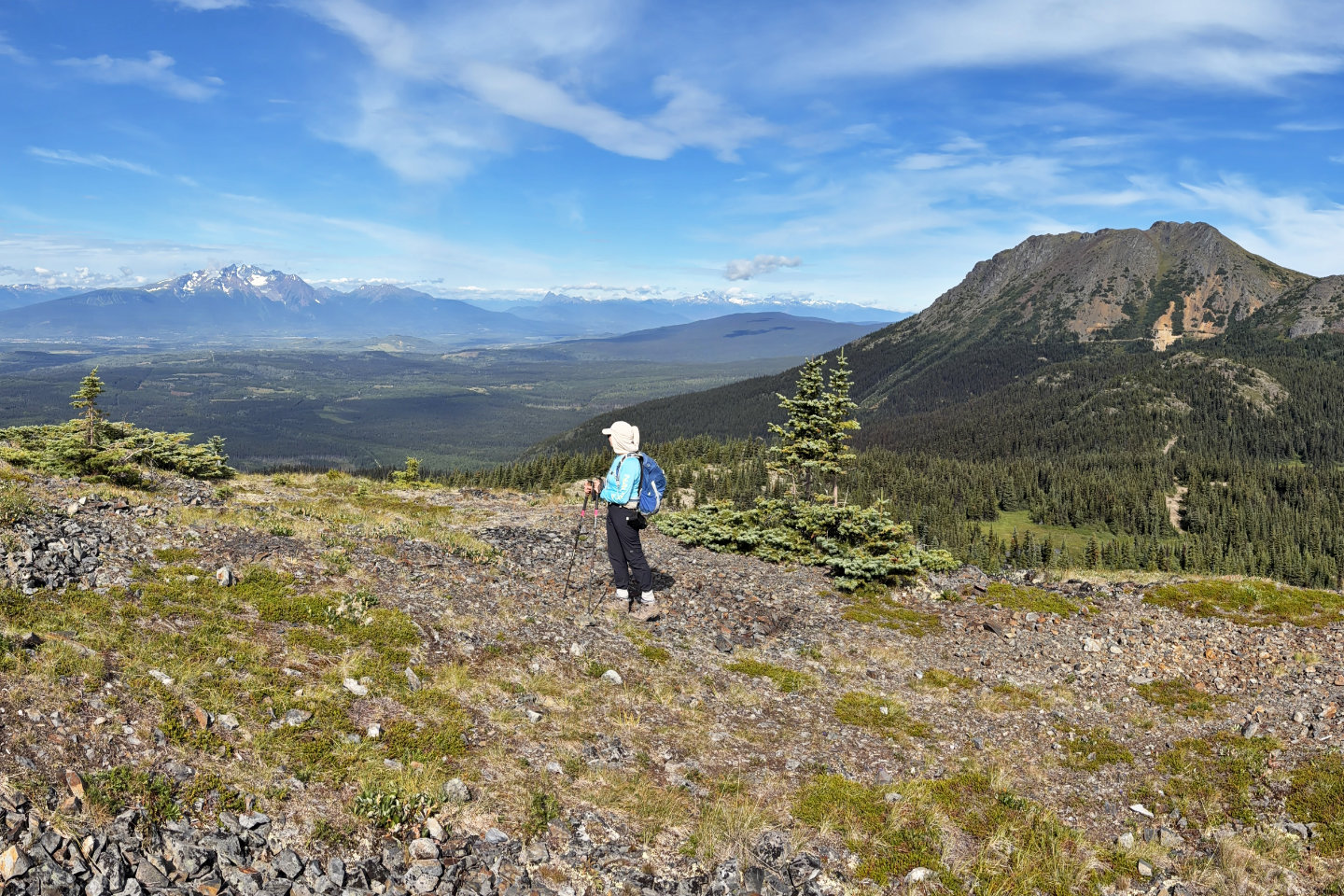 Dinah looks at Hudson Bay Mountain 30 km west
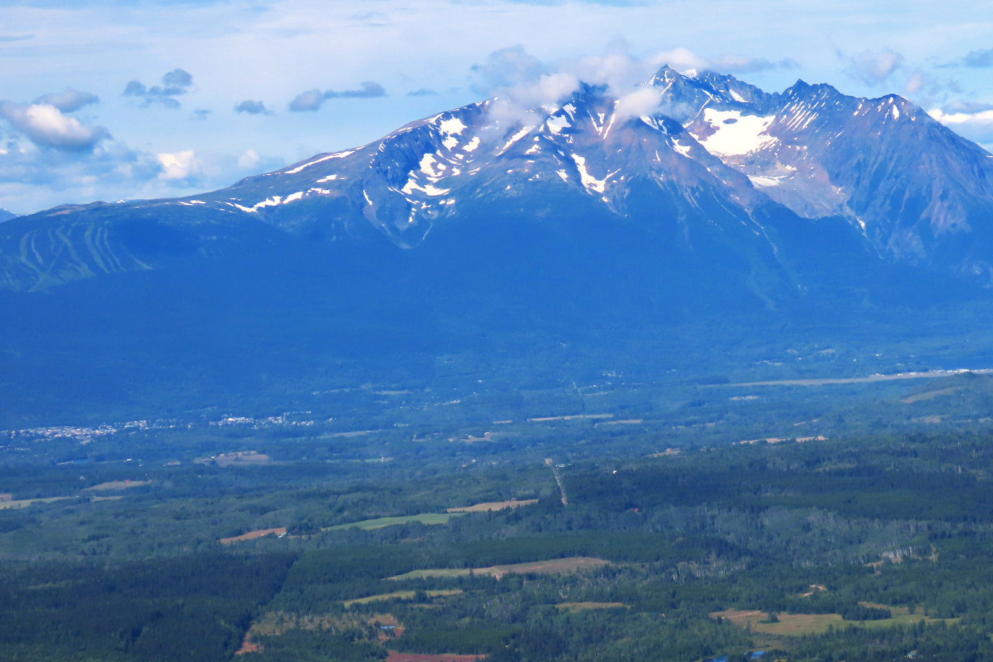 At 2589 m, Hudson Bay Mountain overshadows the Town of Smithers seen left
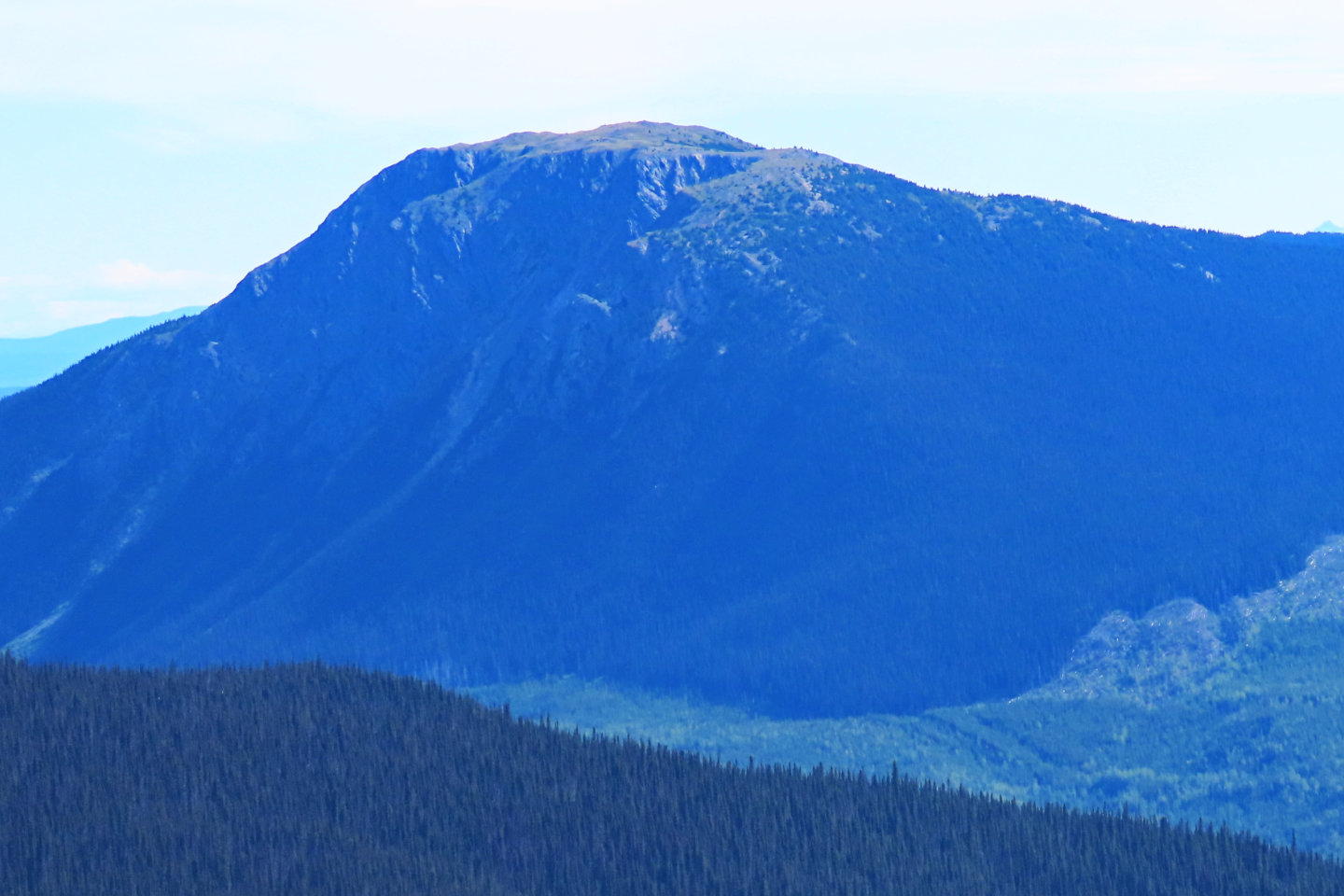 Mount Mckendrick, 1783 m, is closed to motorized and non-motorized recreation above 1550 m to protect the mountain goat population
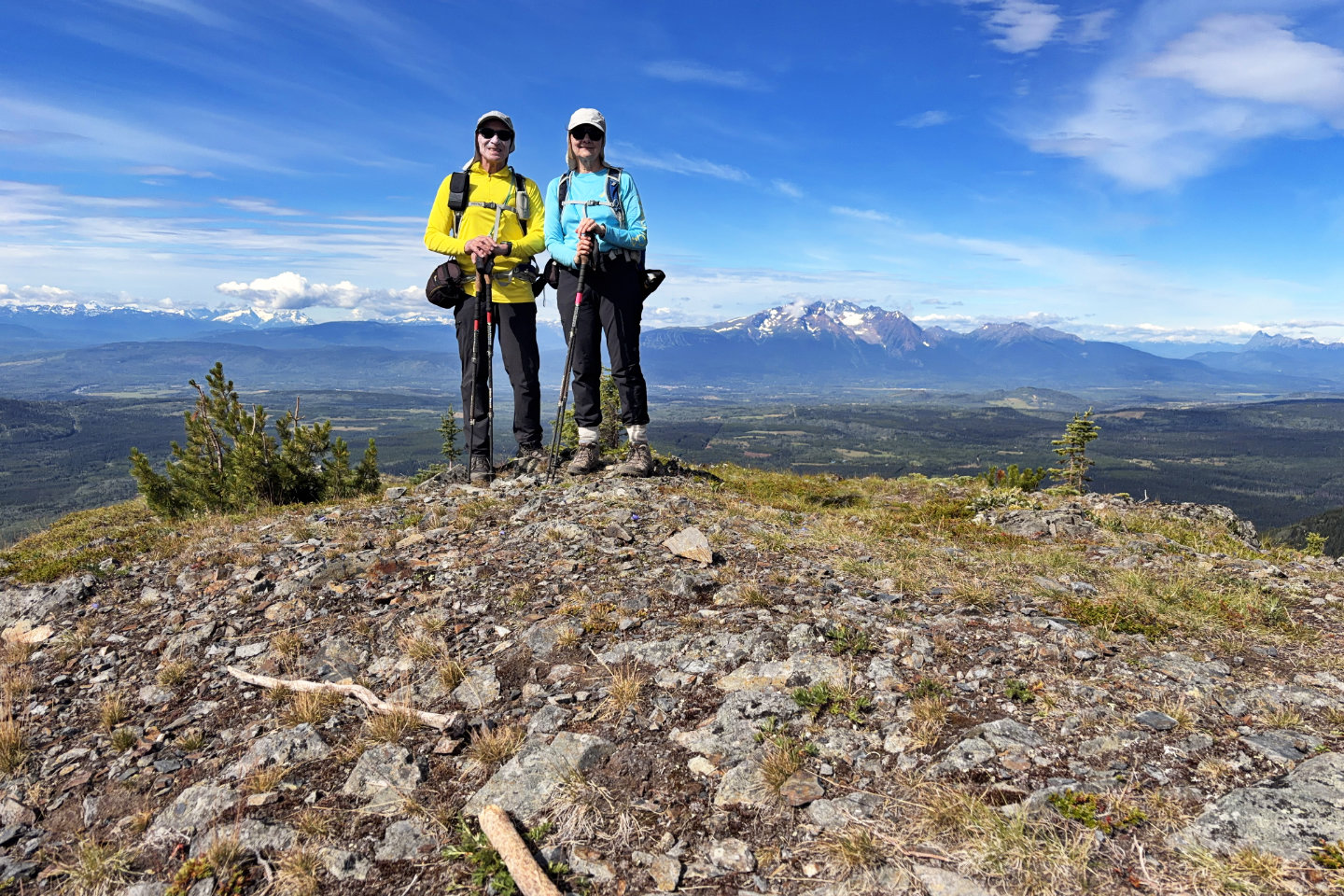 On the summit