bobspirko.ca | Home | Canada Trips | US Trips | Hiking | Snowshoeing | MAP | About
Tombstone South
Kananaskis, Alberta
July 29, 2006
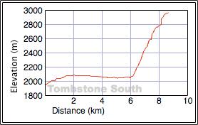
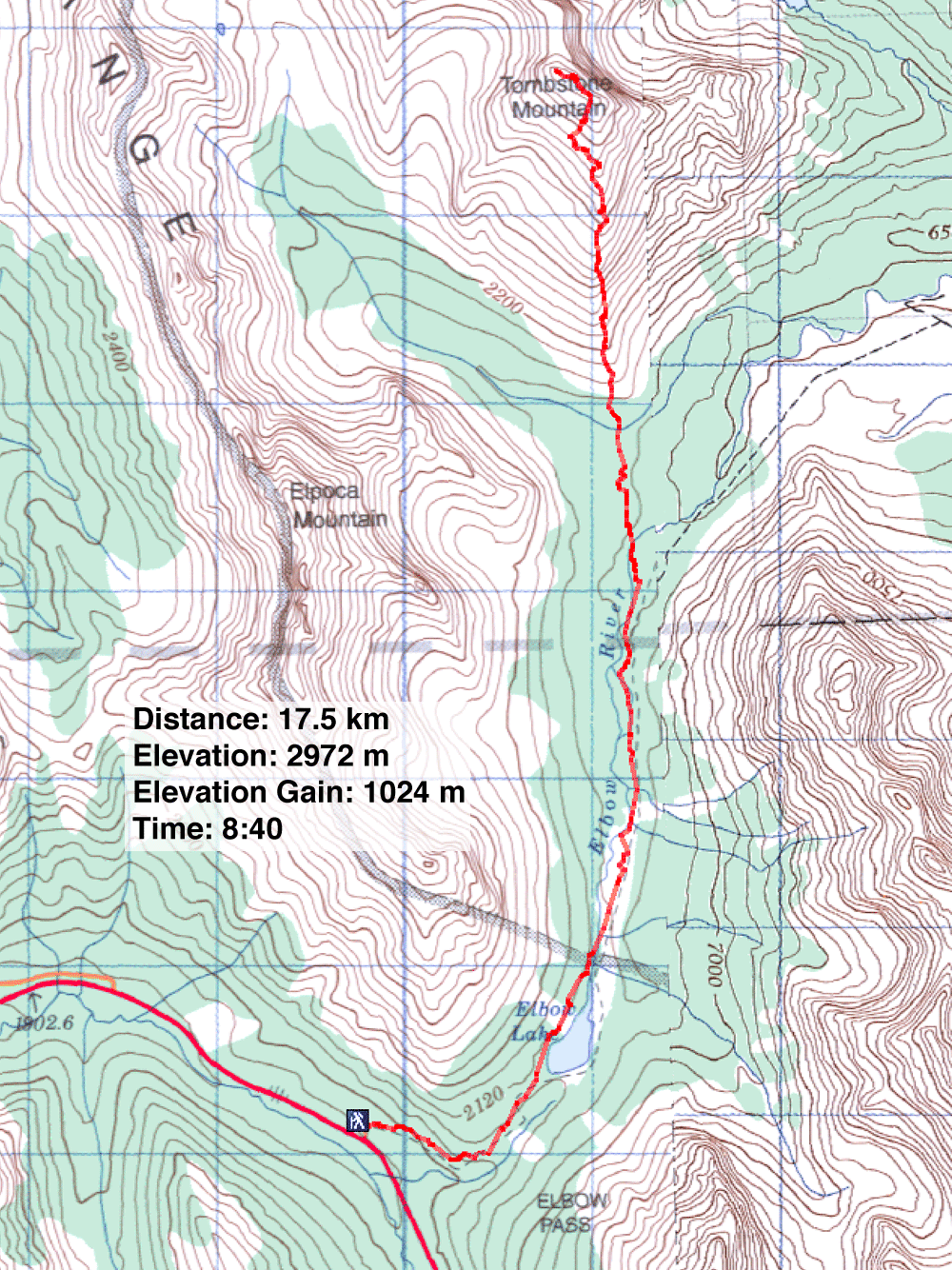
Distance: 17.5 km (10.9 mi)
Cumulative Elevation Gain: 1372 m (4501 ft)
When we parked at Elbow Lake parking lot for Tombstone South, it was a beehive of activity. Dozens of hikers were preparing to set off up the trail. Not far away, we spotted a juvenile grizzly crossing the highway. Minutes later, it crossed back, perhaps disturbed by all the people gathered.
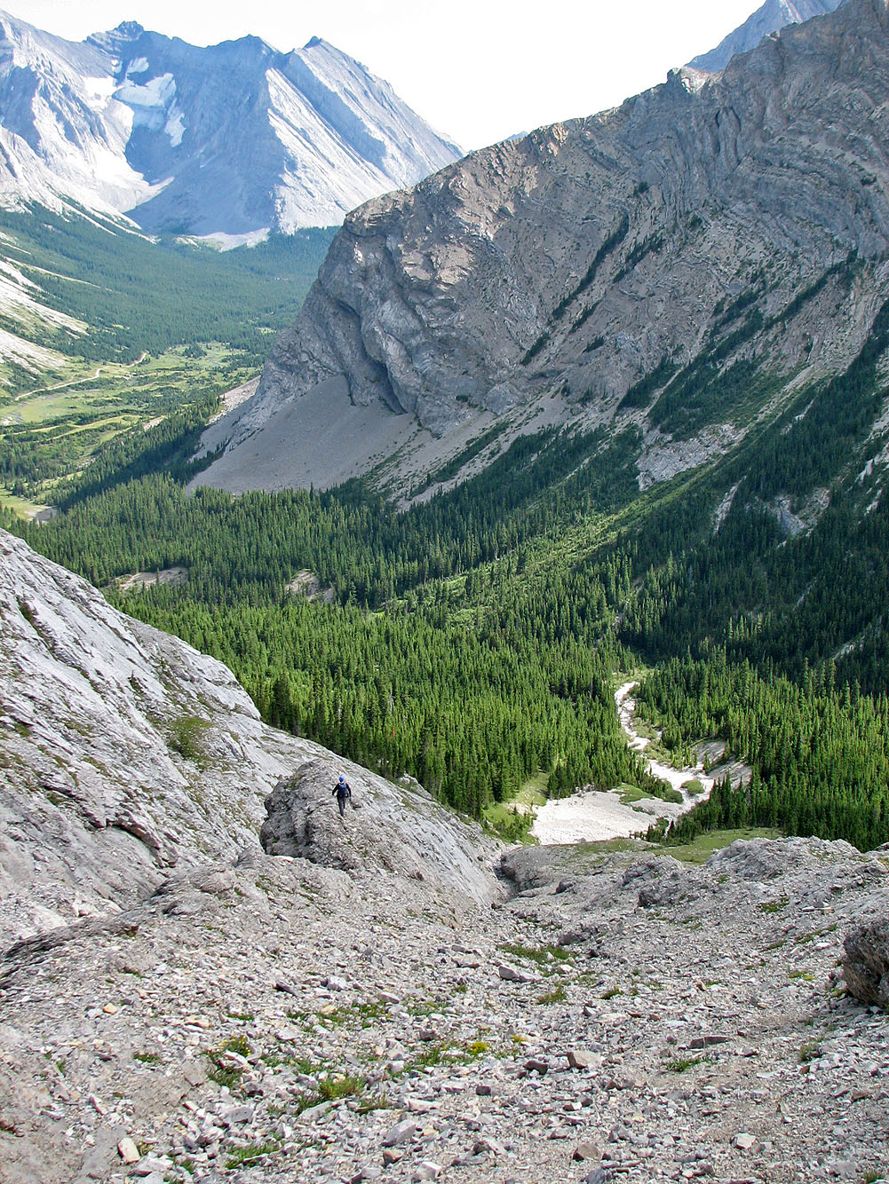
This is a busy trail. To reach the lake, we had to elbow our way through a horde of hikers on the trail. I think I know where the name of the lake comes from! After Elbow Lake, however, we had the trail to ourselves. We continued until our destination lay ahead. We left the trail, crossed the creek, and bushwhacked to the base of the mountain.
We noticed a party of two ahead of us. We easily gained the ridge, and halfway up the mountain, we caught up with them. They were Elizabeth and Katrin whom we knew when we belonged to the Hostel Outdoor Group years ago.
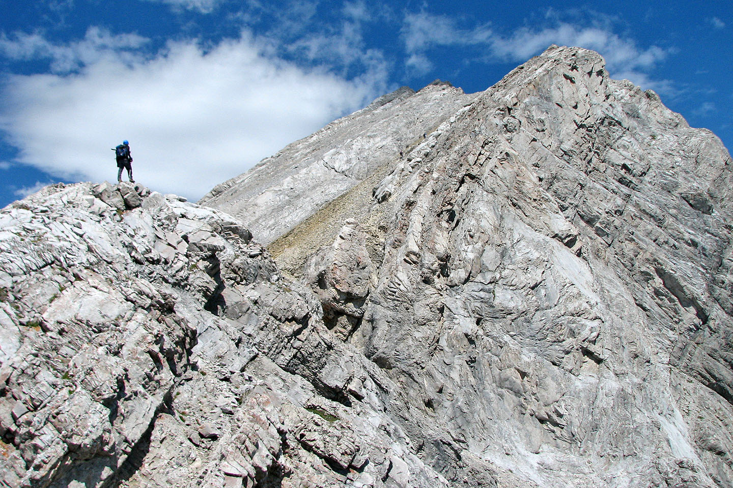
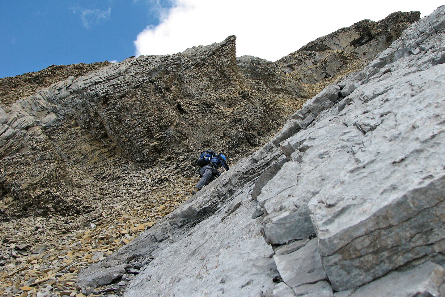
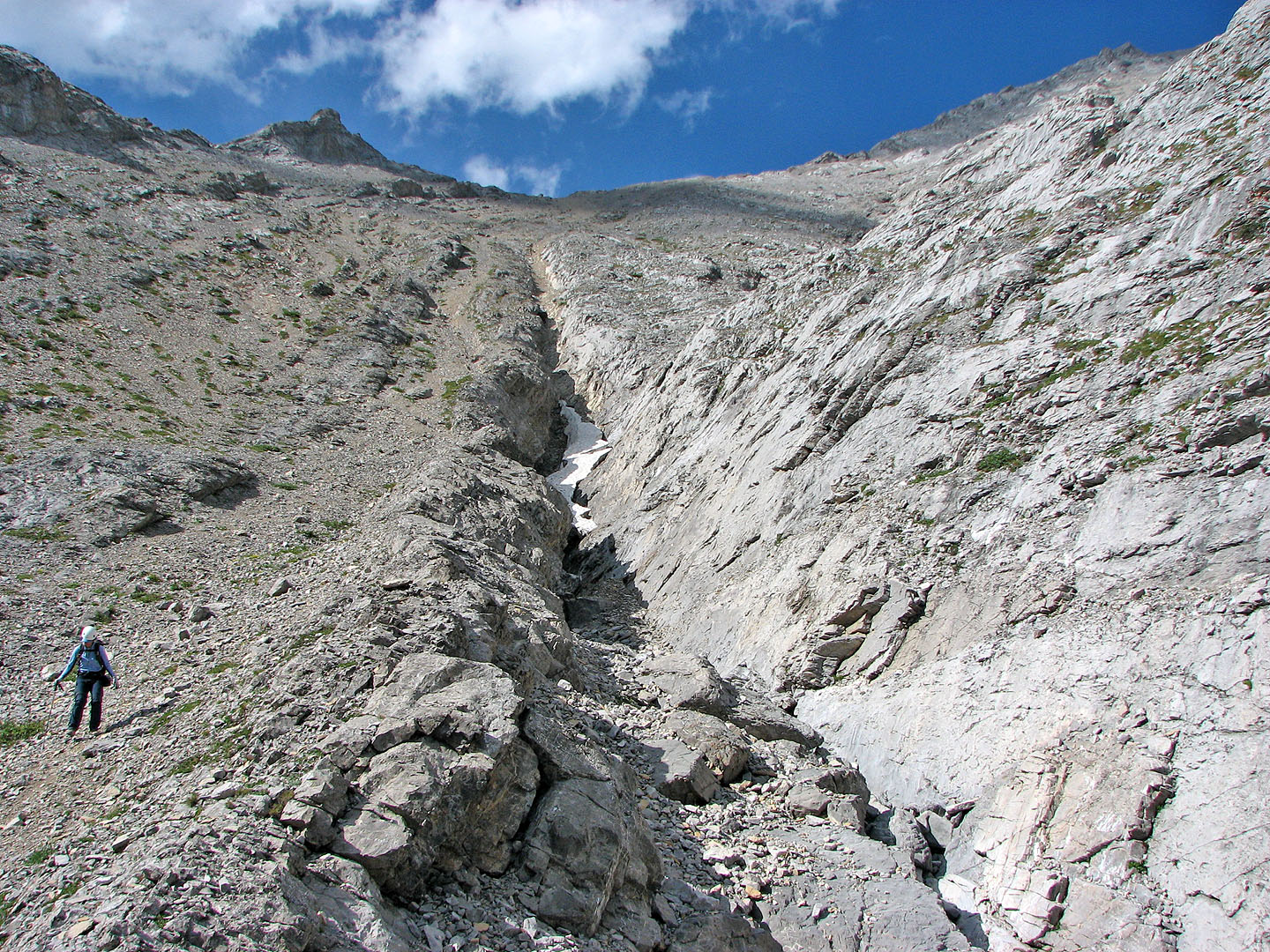
After a short chat, Dinah and I pushed on and came to the point where we would have to traverse below the ridge crest to avoid a cliff band. A cairn marked a likely place – probably the only place – to cross a stretch of steep rock slabs. We carefully made our way along some cracks.
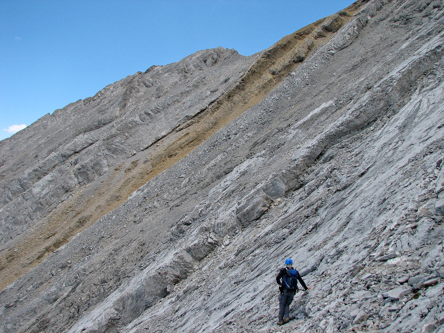
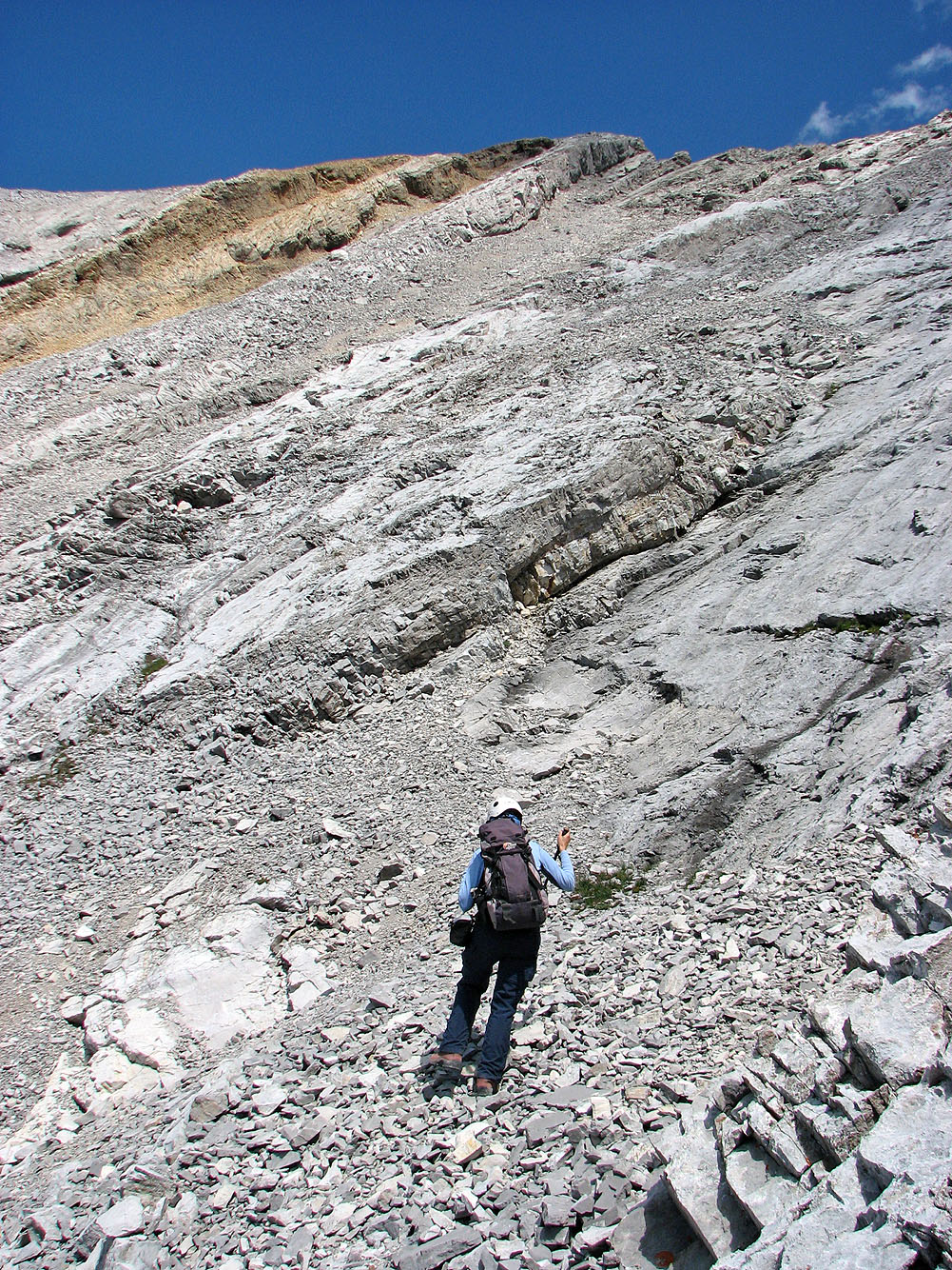
Past the slabs were grey and orange rock bands. We ascended rubble below the grey cliff band. As we climbed, the rock became steeper, but fortunately a ledge allowed us to traverse to the orange cliff band. We hiked to the false summit and then made our way to the true summit.
On the summit, there was no sign of the cairn I saw in Linda Breton's summit photo on her website. Only a half a dozen or more rocks were spread out where the cairn used to be. Either someone heaved the cairn over the side, or a lightning strike blew it apart. The register was gone too. There was a Ziploc bag with paper in it, apparently a replacement for the missing register.
Elizabeth and Katrin joined us at the top, and after a thirty-minute stay Dinah and I headed down the gully between the true and false summits. We followed a trail in the scree until it petered out near the bottom. The left side of the gully was too slabby to descend, so we took the gentle right side and reached the valley bottom trail. After following it for a way, we retraced our steps back to the main trail.
When we reached the parking lot, it was nearly empty. As we started driving down the highway, we saw a car parked on the side of the road. We stopped to investigate and learned that the grizzly was still in the area. The crowds had left, but the bear had stayed.
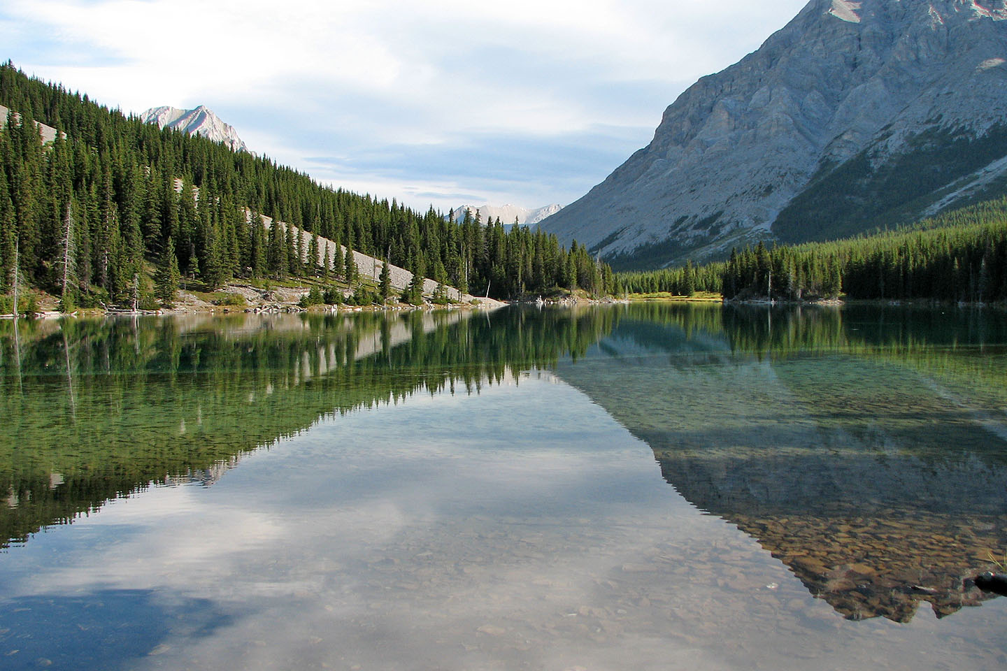
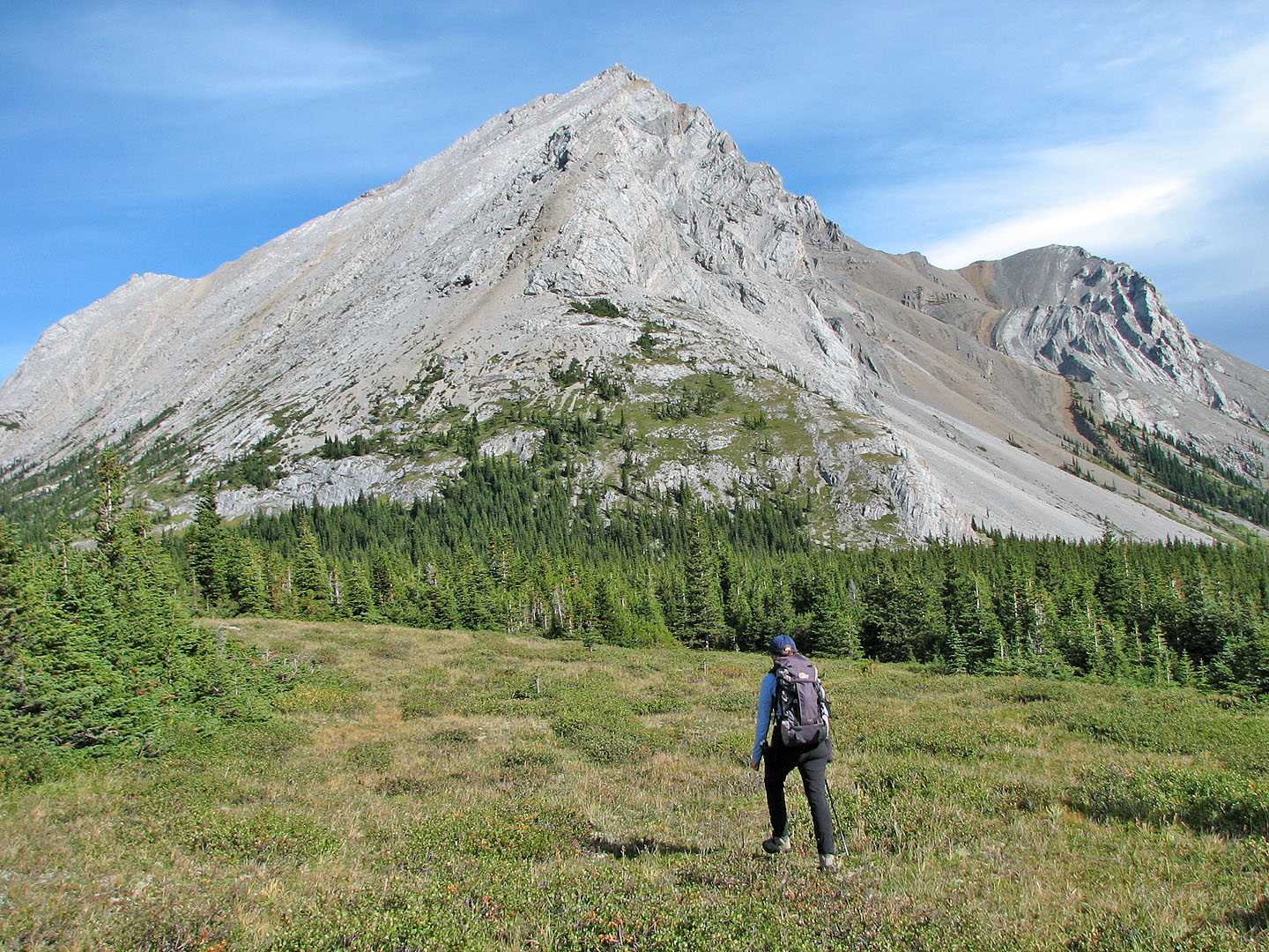
Tombstone South (left) from Elbow Lake
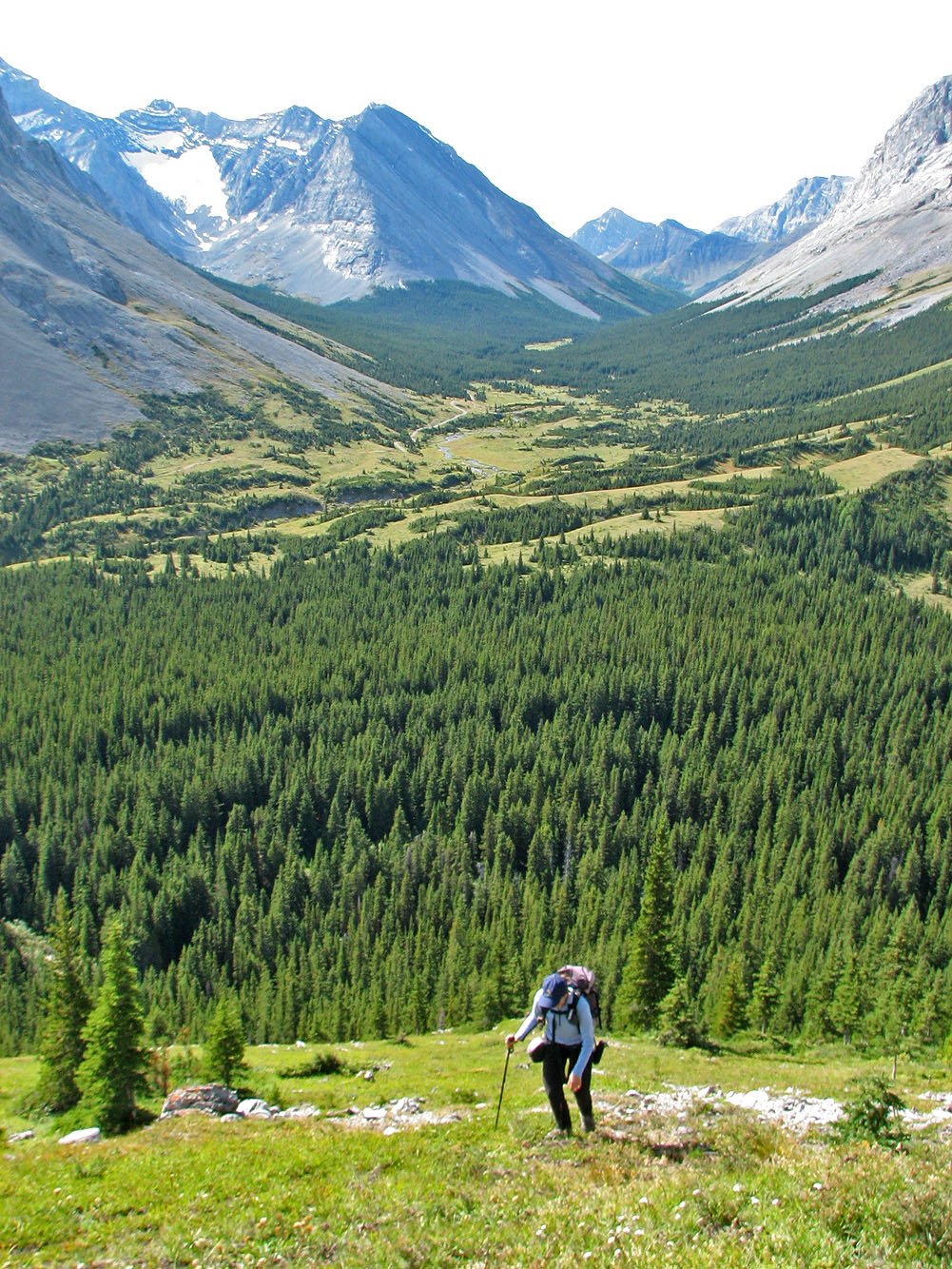
Following the trail after the lake
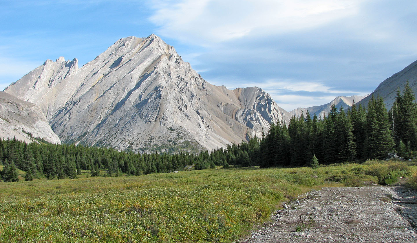
After crossing the creek we headed for the lower slopes
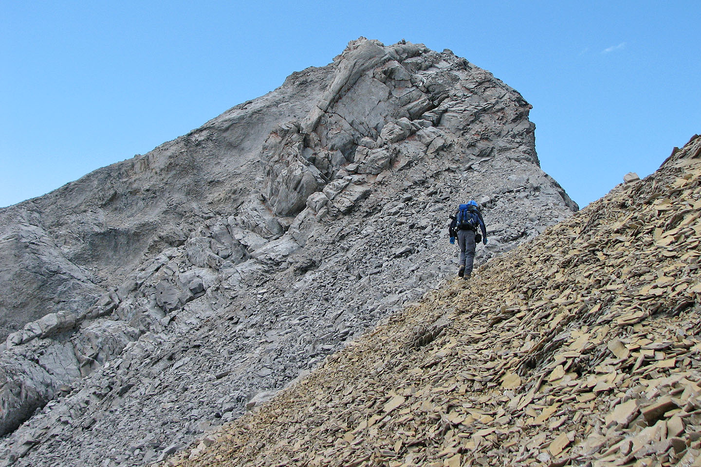
Starting the slope
After leaving the grassy slope, we are soon scrambling
After hitting rocks, we skirted the first obstacle on the right
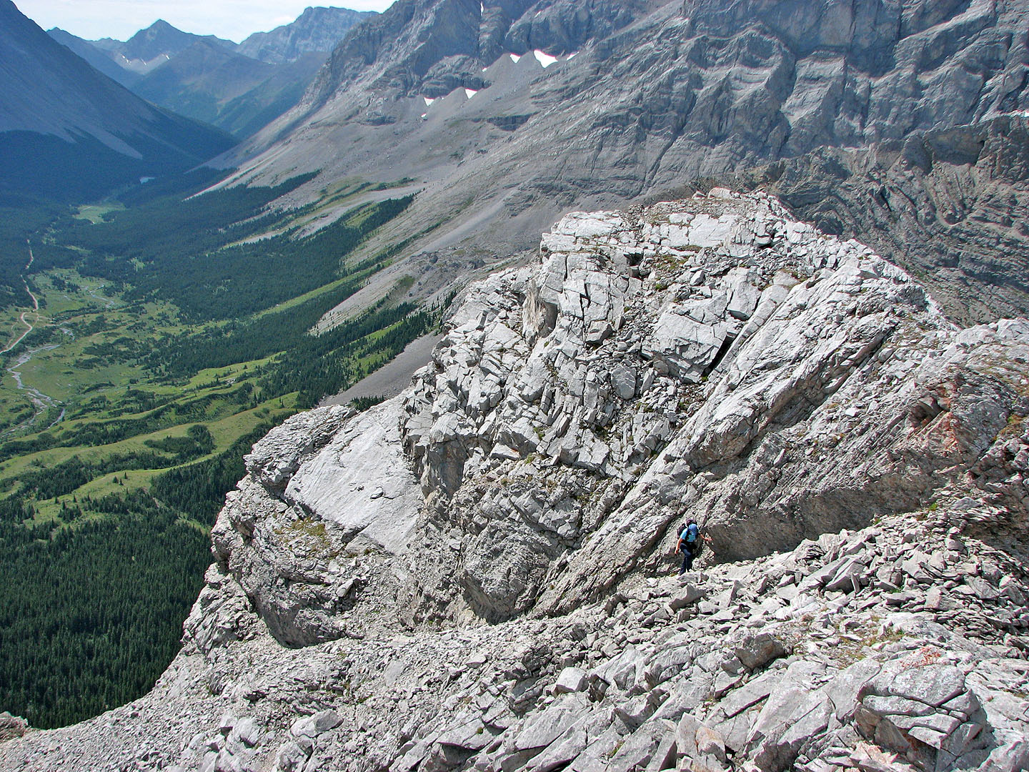
Looking back
After that we stuck close to the ridge
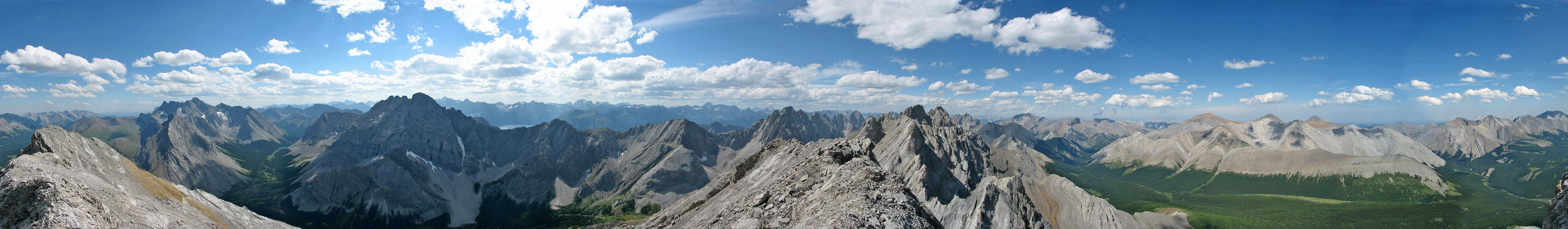
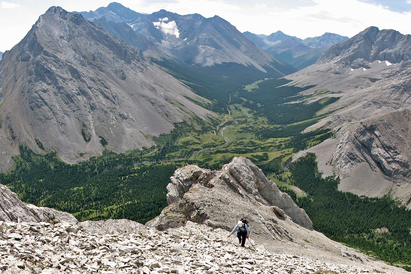
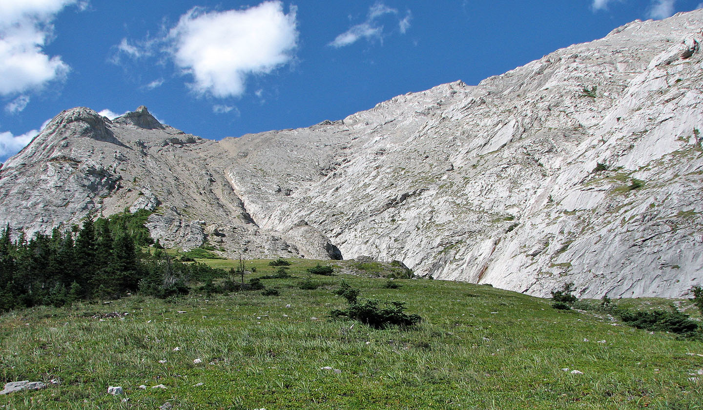
Views behind change little although Elbow Lake came into view
Trying figure the route ahead
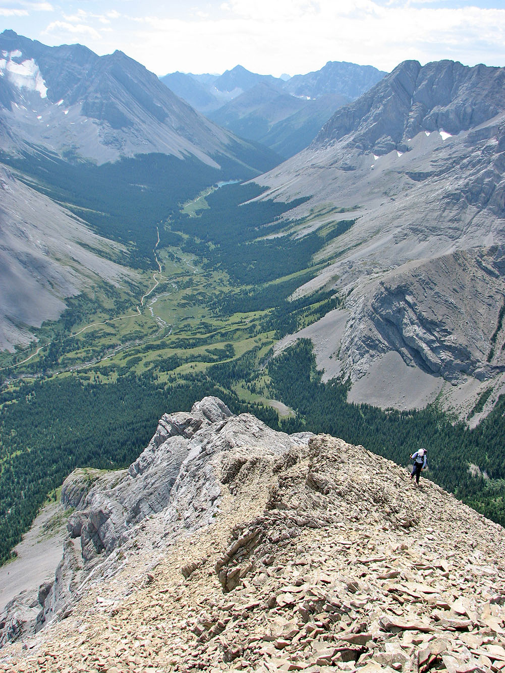
A few places, like this one, allows you to view the ridge ahead
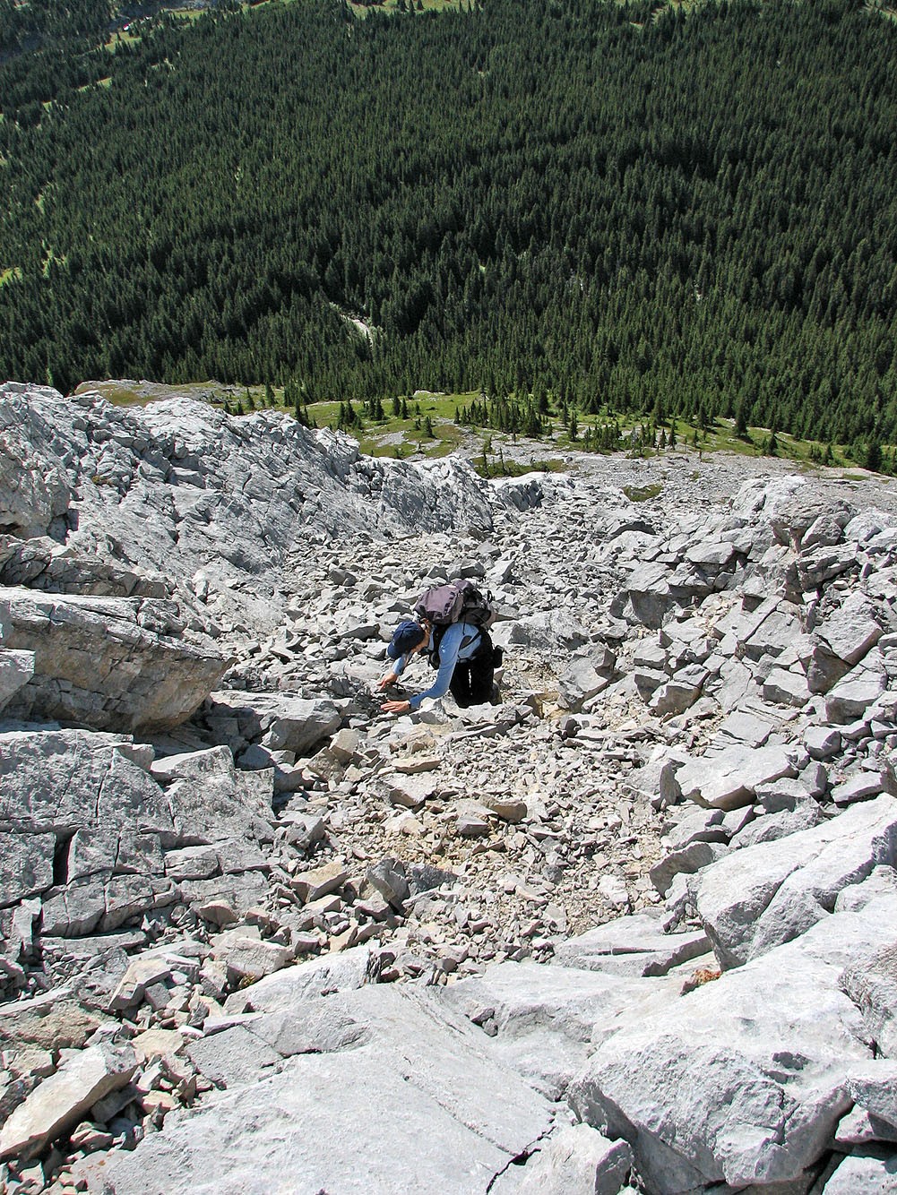
The summit lies ahead, but we need to reach the false summit first. After traversing these slabs, we
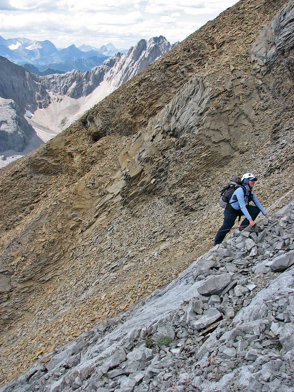
ascended the grey rubble before the orange band.
Higher up, the grey rubble turns to solid rock. We traversed it to gain the
orange cliff band.
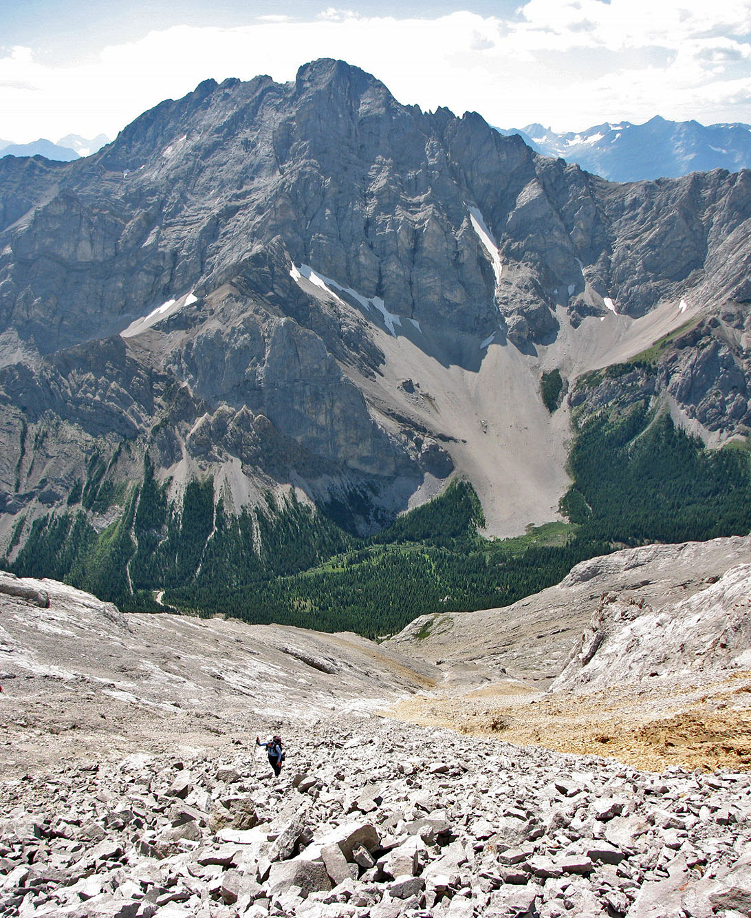
Elpoca Mountain is behind us as we ascended the rubble
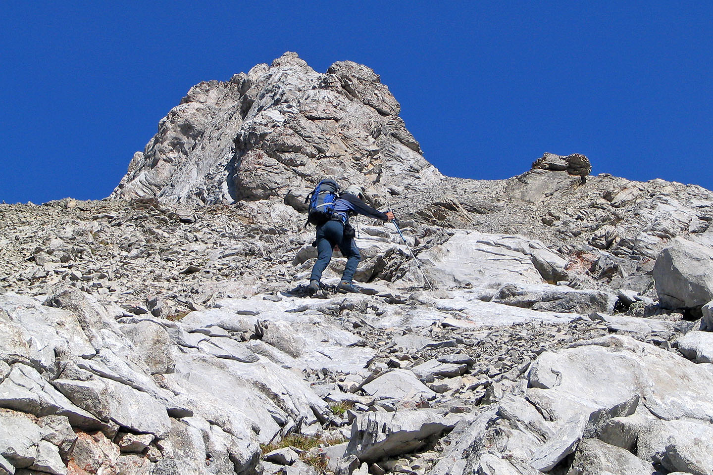
 Just past the pointed rock above me, we
found a weakness to gain the orange ridge
Just past the pointed rock above me, we
found a weakness to gain the orange ridge
Dinah follows
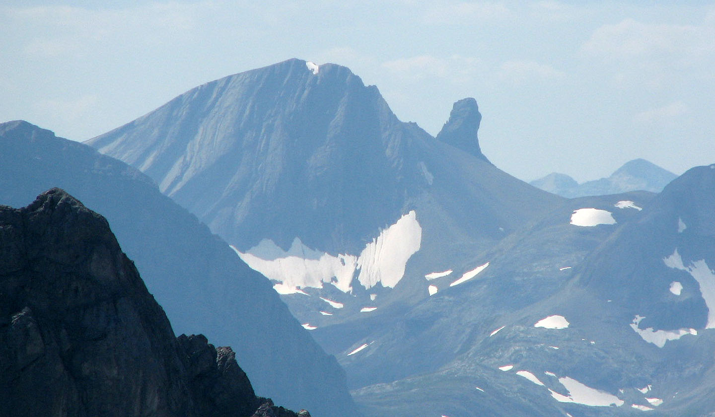
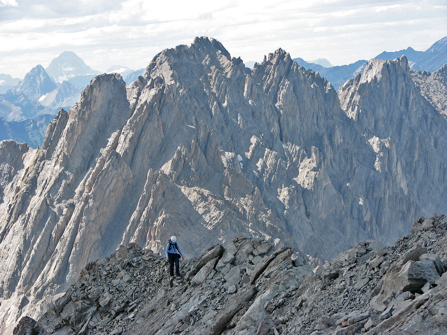
Warrior Mountain and Waka Nambe
Coming down from the false summit
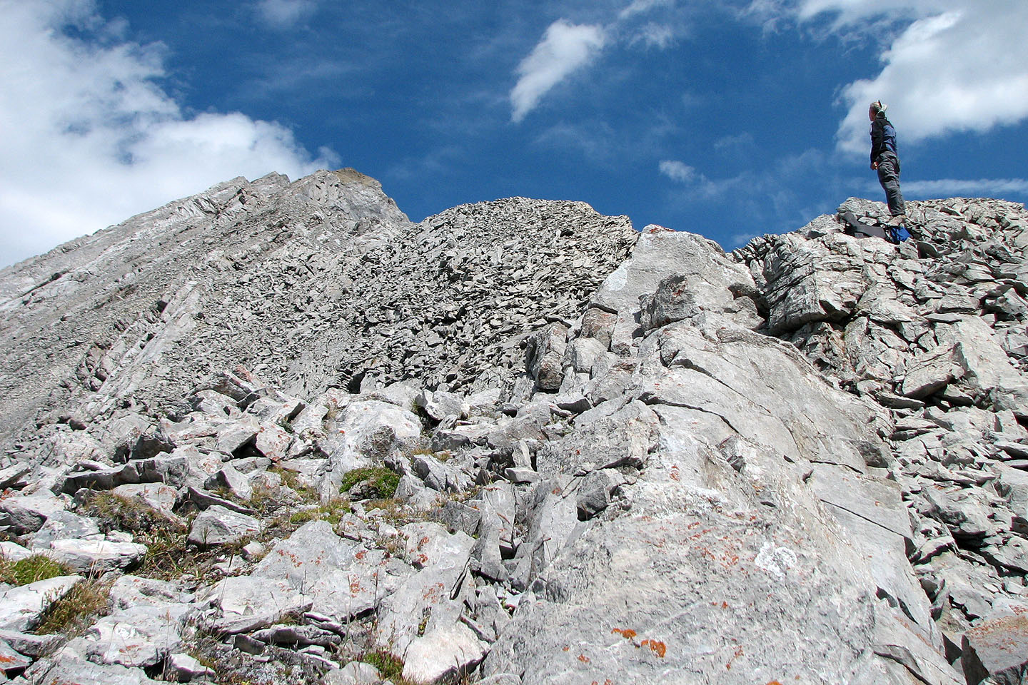
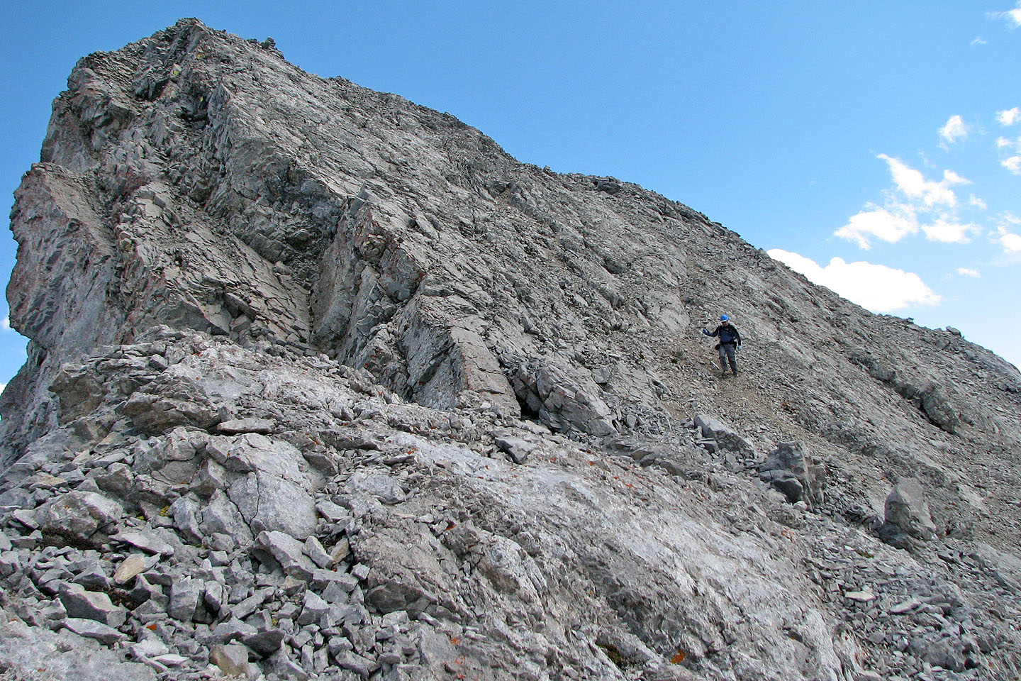
To reach the summit ahead, we had to do a bit of scrambling
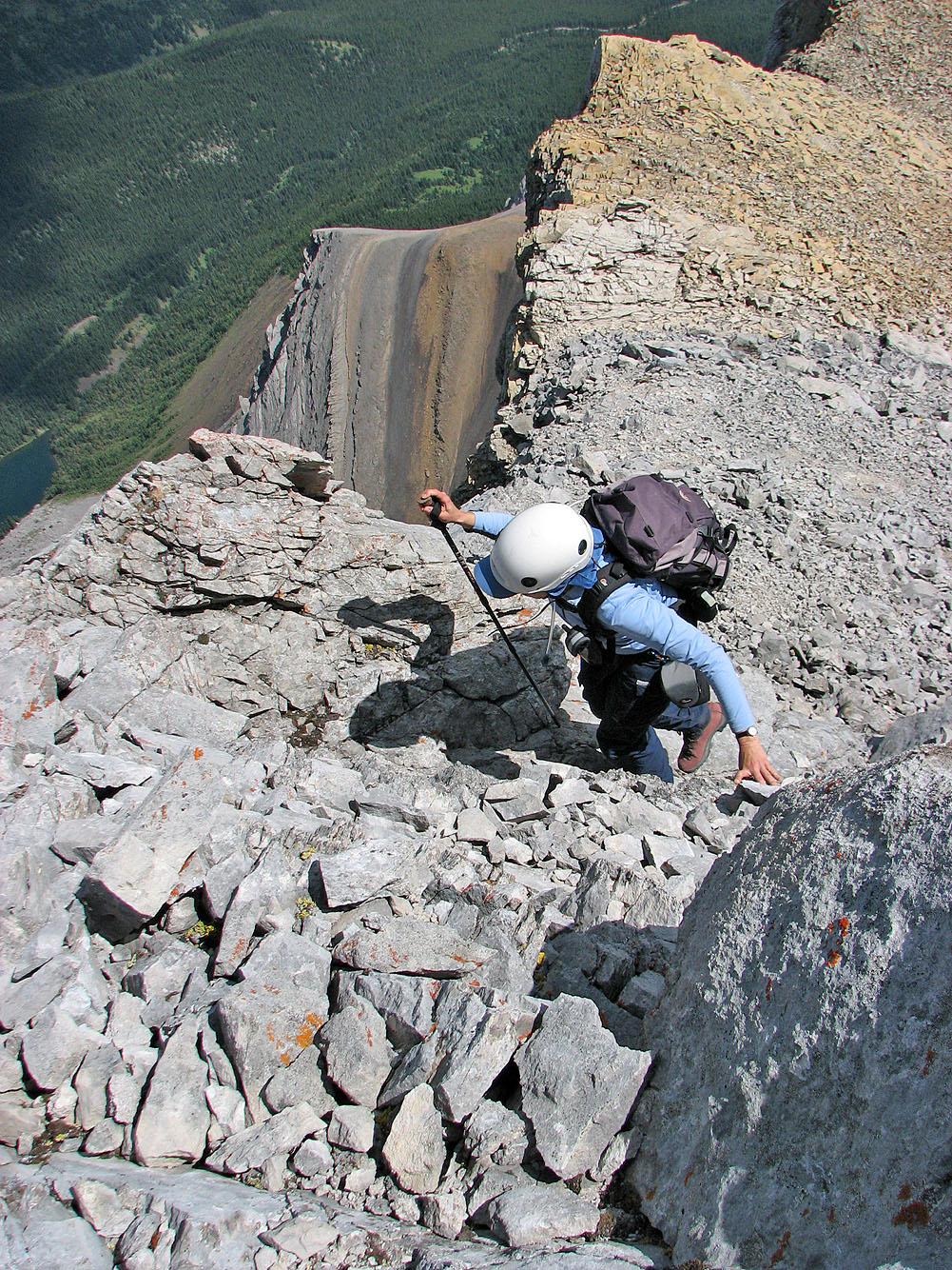
The drop on Dinah's right is terrific. A fall here would place you at the foot
of your tombstone!
It's a short hike along the ridge to the summit. Behind her is the double summit of Tombstone Mountain. A
hazy Mount Assiniboine is on the left.
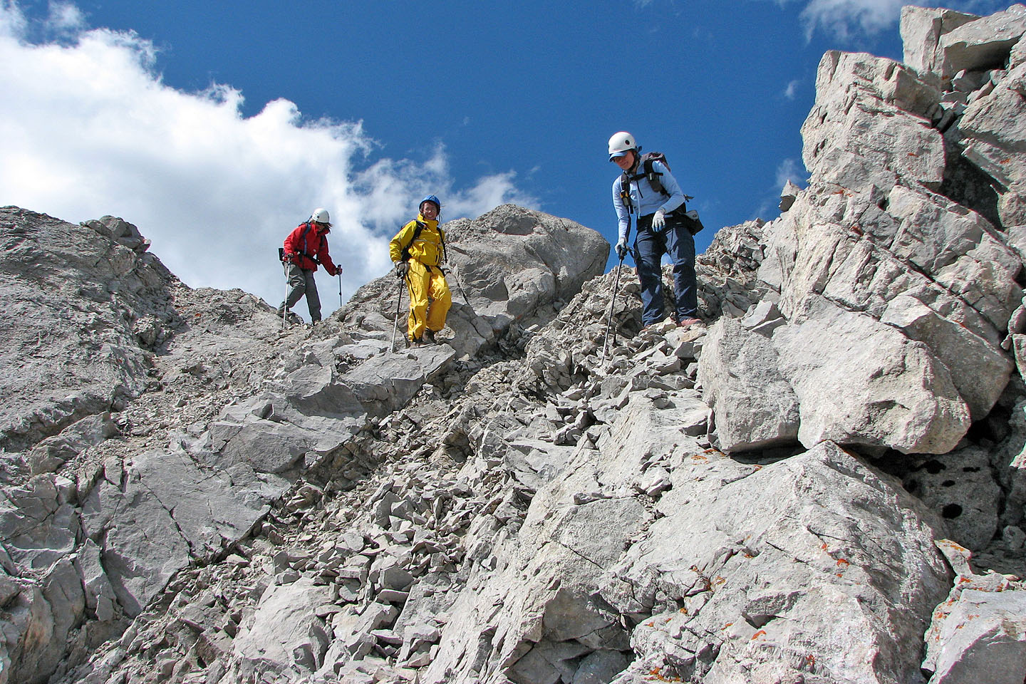
A contrast in colours: Katrin, Elizabeth and Dinah descend from the summit
We started down the left side only to realize the right side looked better
 Looking back, summit is right
 Looking back after reaching the meadow at
the bottom
Looking back after reaching the meadow at
the bottom
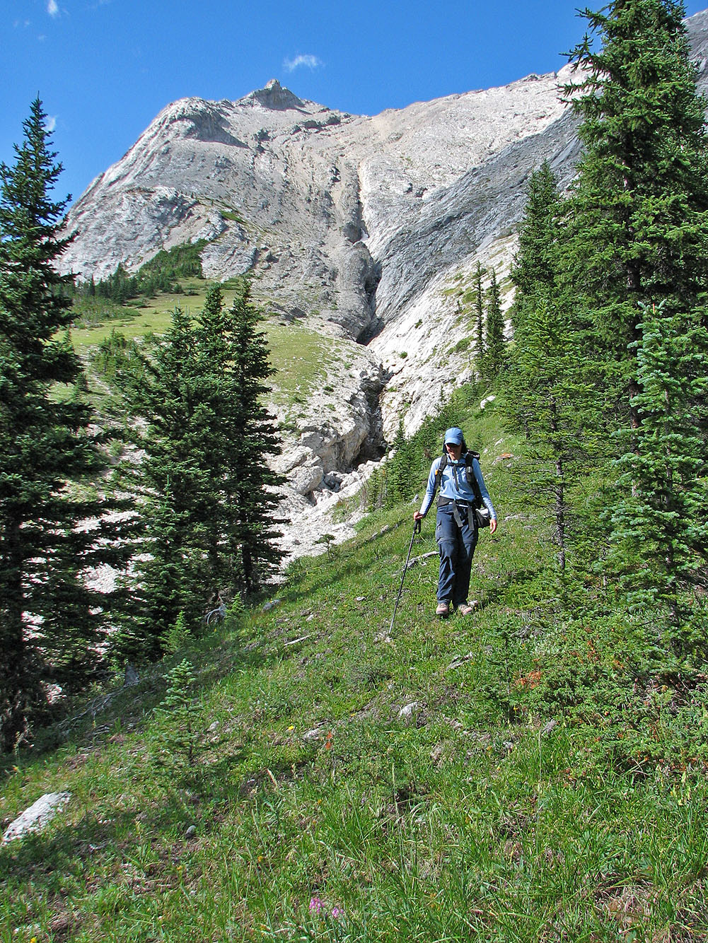
After crossing the gully, we headed back
82 J/1 Kananaskis Lakes