bobspirko.ca | Home | Canada Trips | US Trips | Hiking | Snowshoeing | MAP | About
Taylor Mountain
Caribou-Targhee National Forest, Wyoming
September 18, 2022
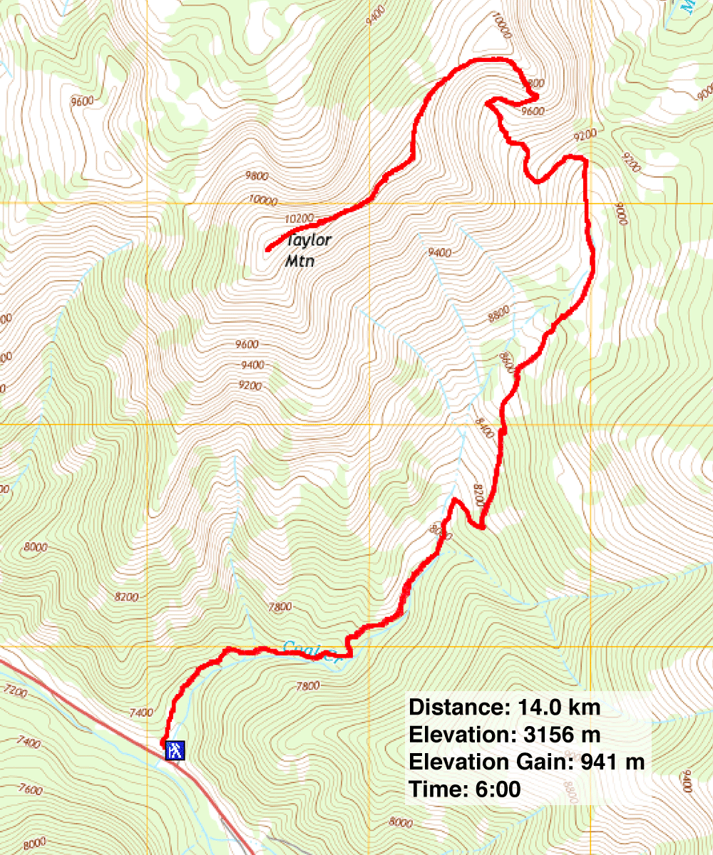
Distance: 14.0 km (8.7 mi)
Cumulative Elevation Gain: 975 m (3199 ft)
On the last day of our stay at Idaho Falls, Dinah and I drove an hour and a half to climb Taylor Mountain. The peak is touted for its 360-degree summit views, but the hike is no less inspiring. Beginning on Coal Creek Trail, the route gently climbs a valley with forests and meadows before tackling the open saddle north of the summit. The final section to the top is a delightful, open ridgewalk.
Under a blue sky with few clouds, we started up the wooded trail that later gave way to expansive meadows. In the last meadow, the trail forks and we turned left. We hiked up the trail to the saddle while Mormon crickets jumped out of our way. After the saddle, the trail disappears in rocks on a high point.
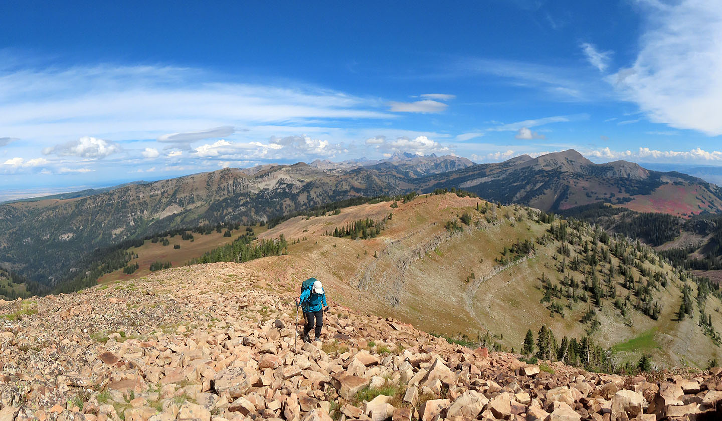
The summit was still far away, and we followed the undulating ridge to the next point, a stretch of orange talus. Of the hikers we saw, most turned around before this point. Although not a hands-on scramble, trekking poles are useful on the loose rocks.
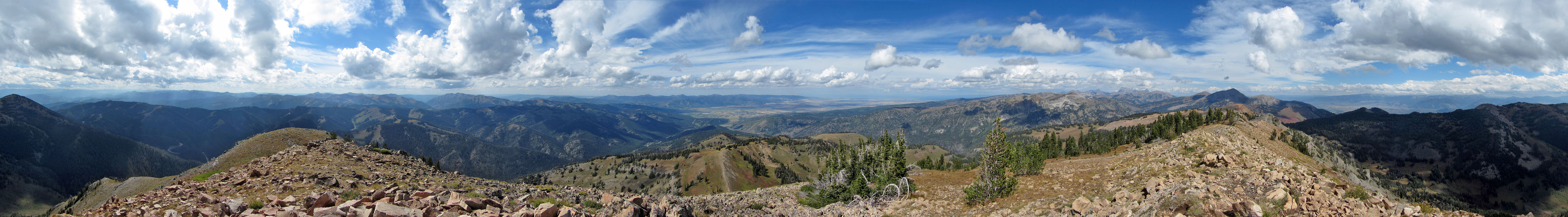
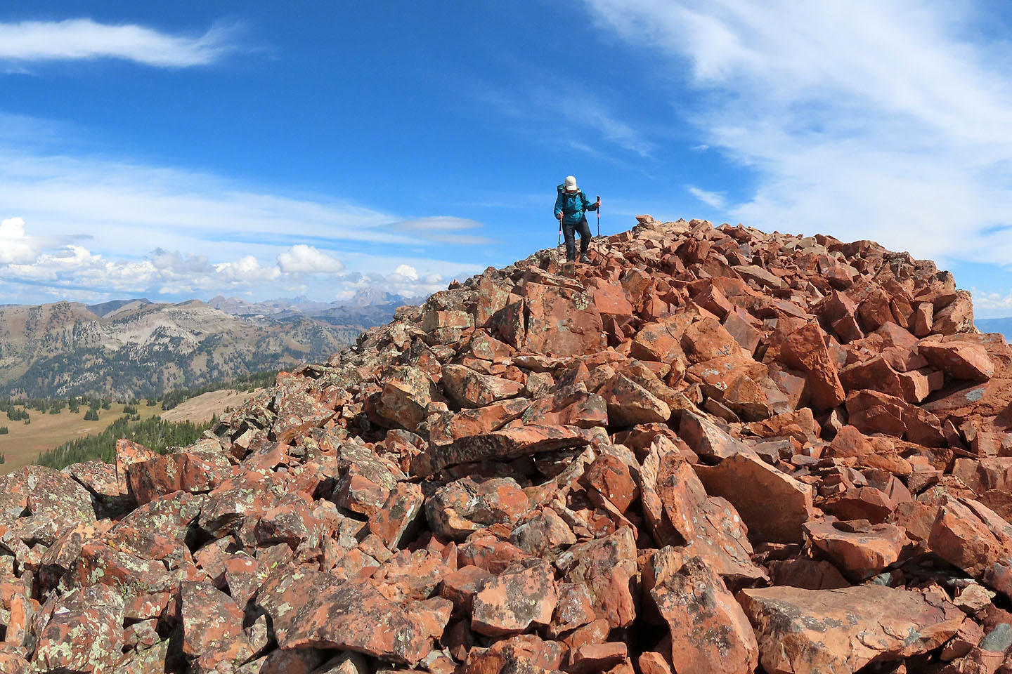
We hit two more rocky sections before reaching the gentle summit bump. Far to the north, we could view Grand Teton, its towering summit hidden in clouds. Clouds had been building all day, but thankfully we stood on top of Taylor Mountain in bright sunlight. Then it was time to go. We followed the trail back, passing several hikers who had started later in the day.
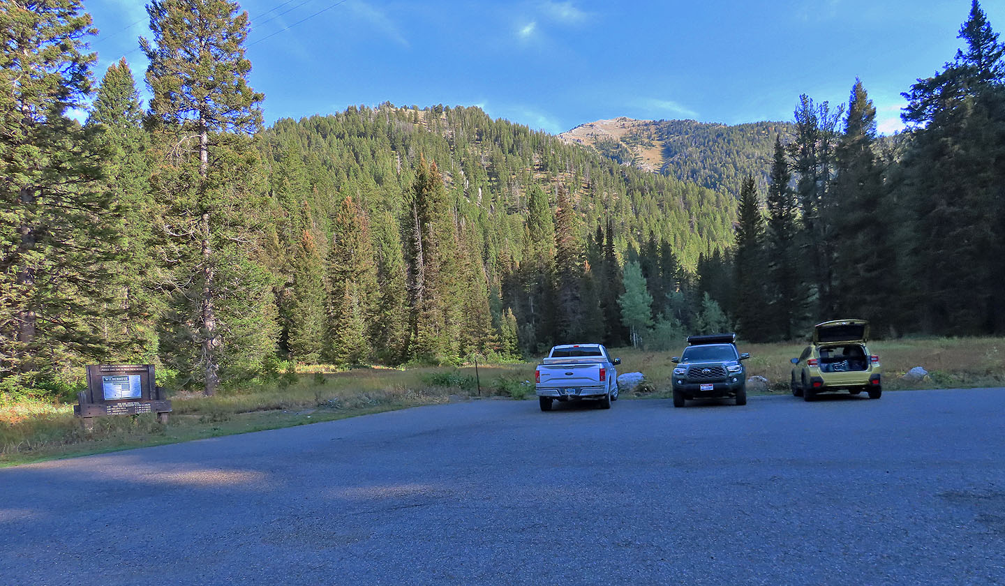
Taylor Mountain seen from the trailhead. The trip begins with crossing a bridge on the left.
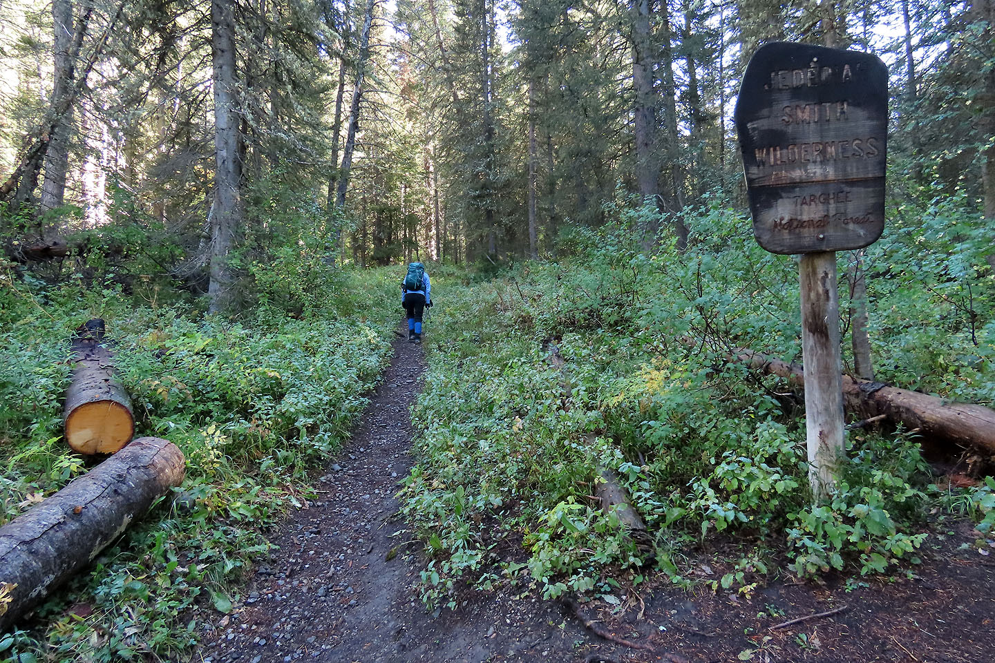
After hiking for a few minutes, we passed a sign (mouse over to read)
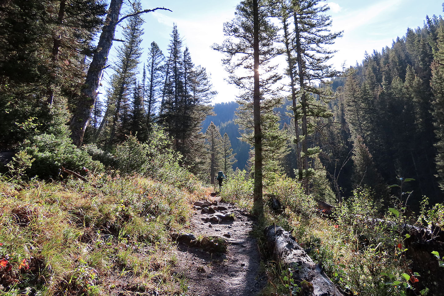
The trail passes through forest for the first few kilometres
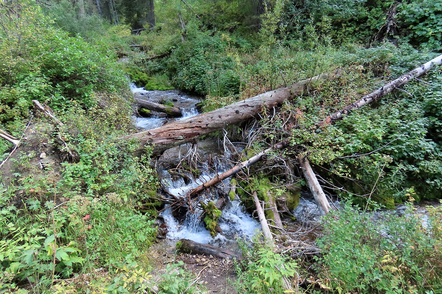
The trail follows Coal Creek although there were few views of it

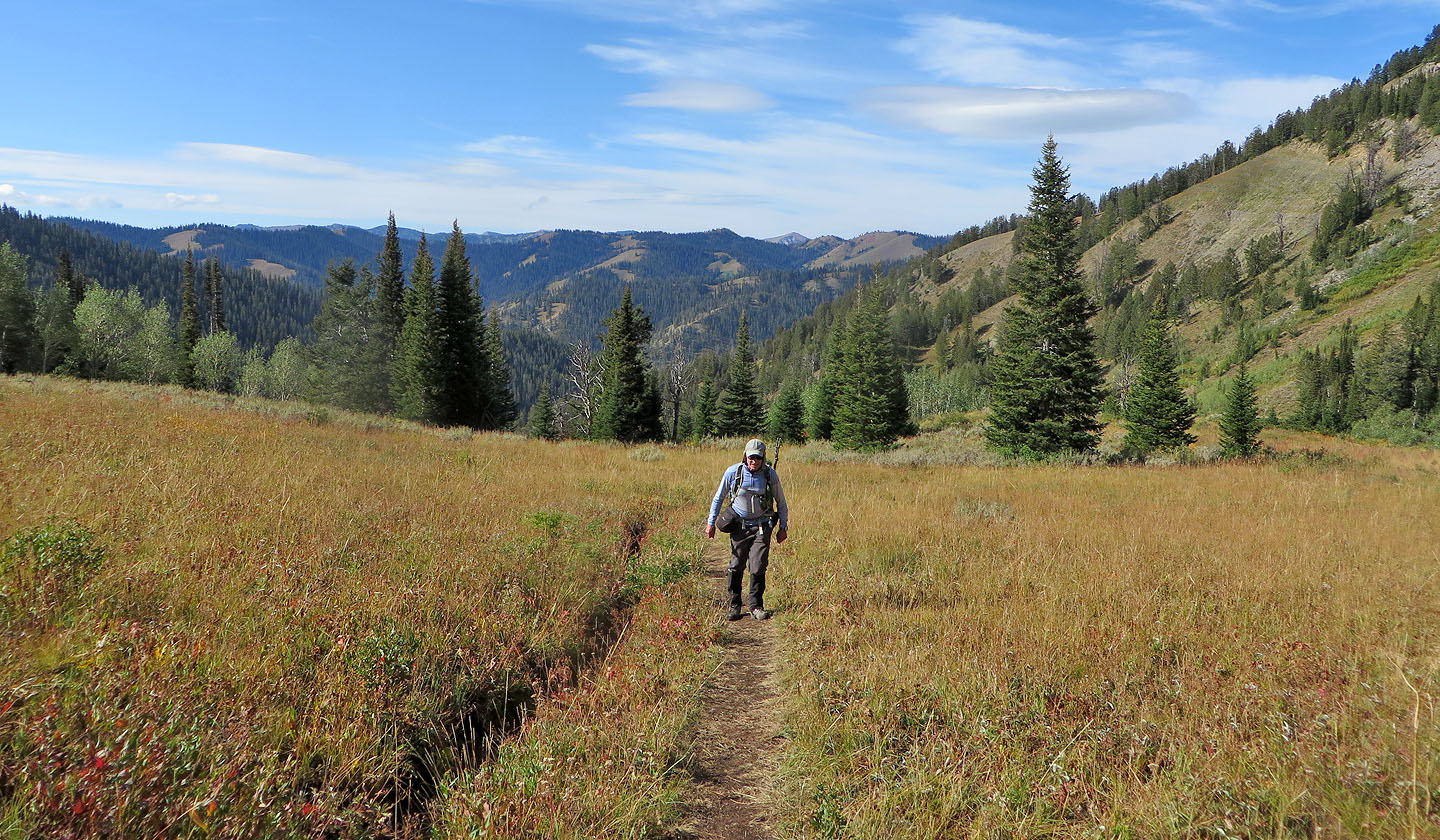
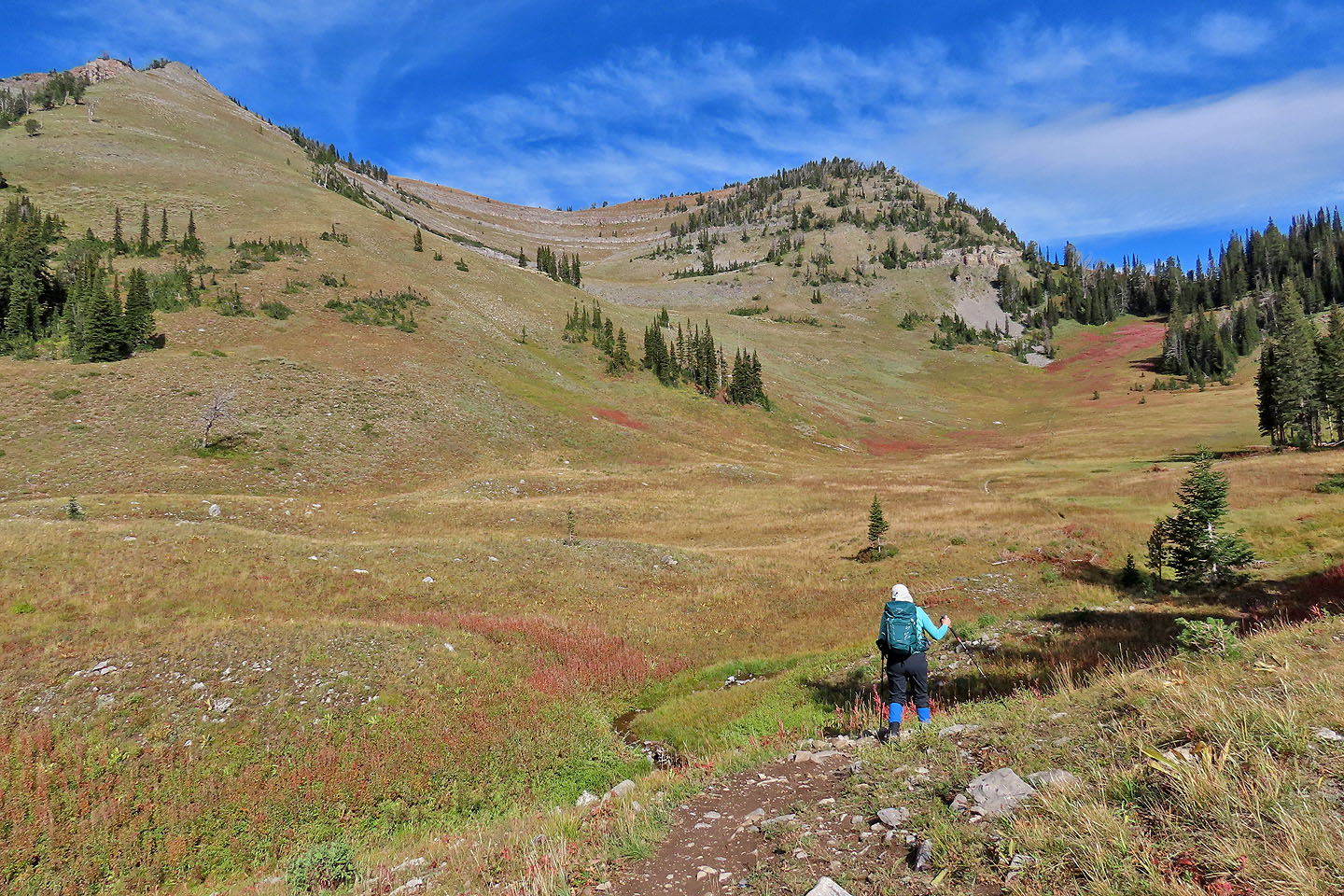
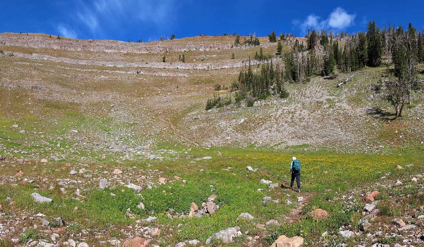
The trail passes large meadows
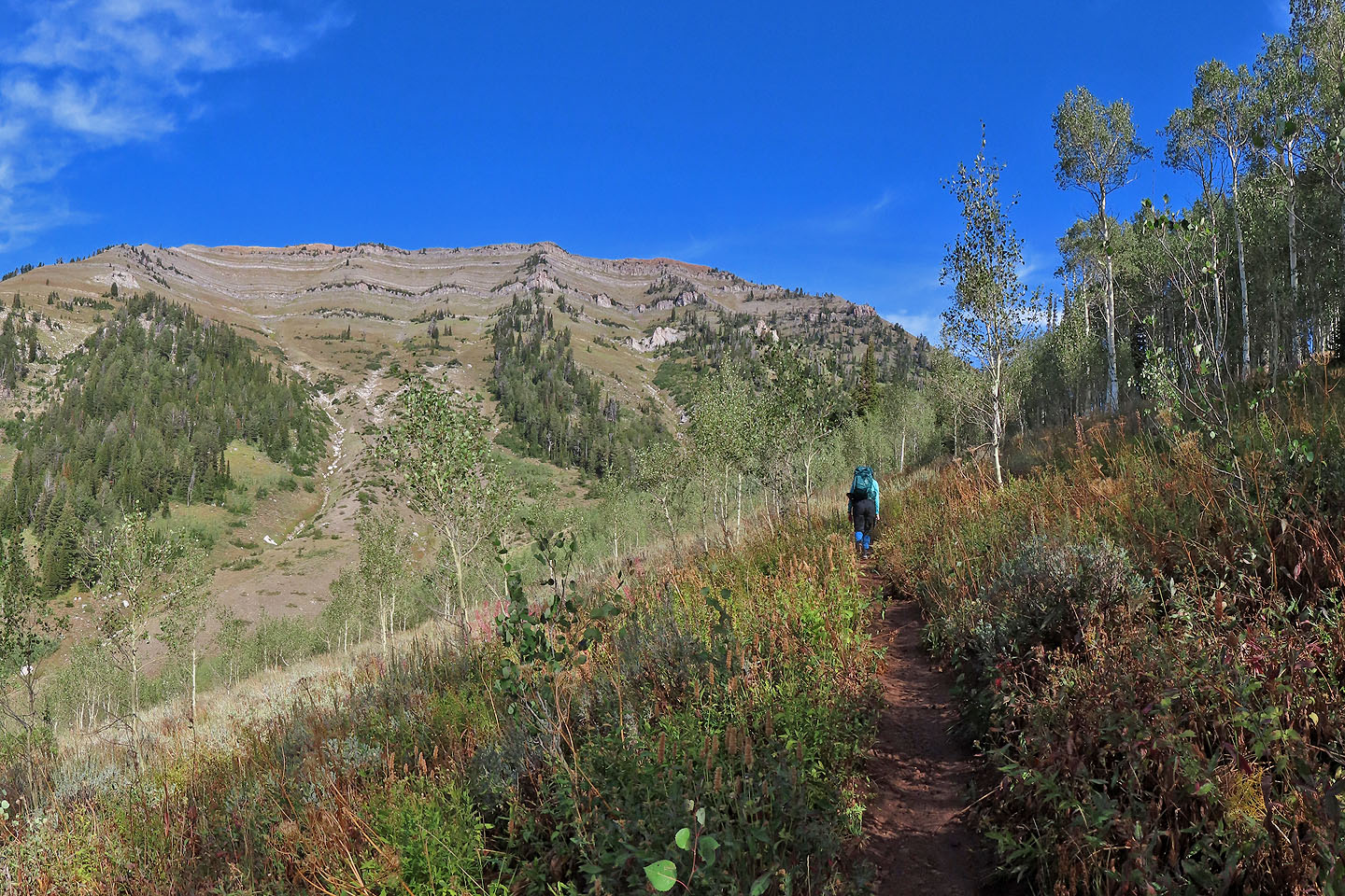
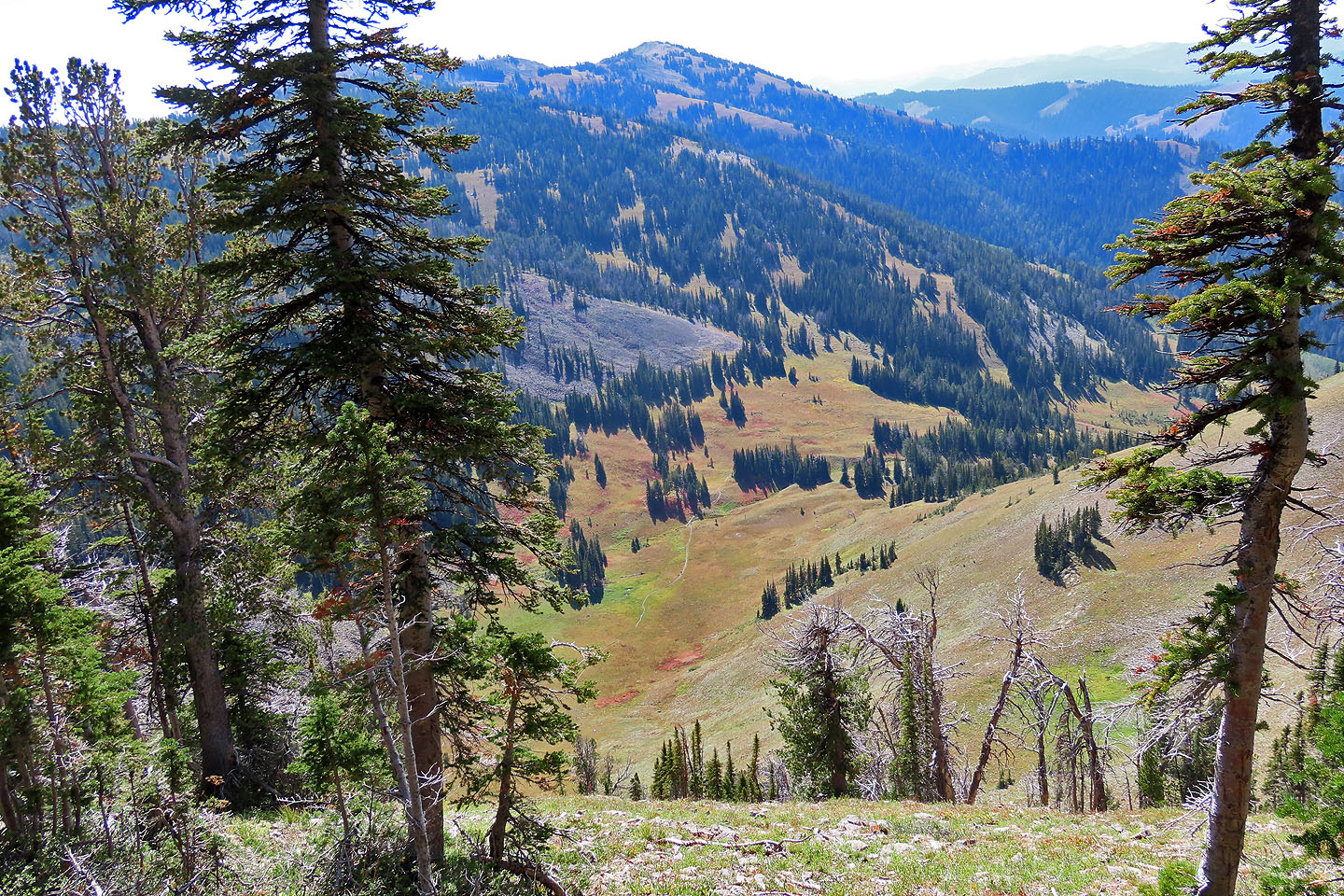
We'll later hike along the ridge on our left
Looking back
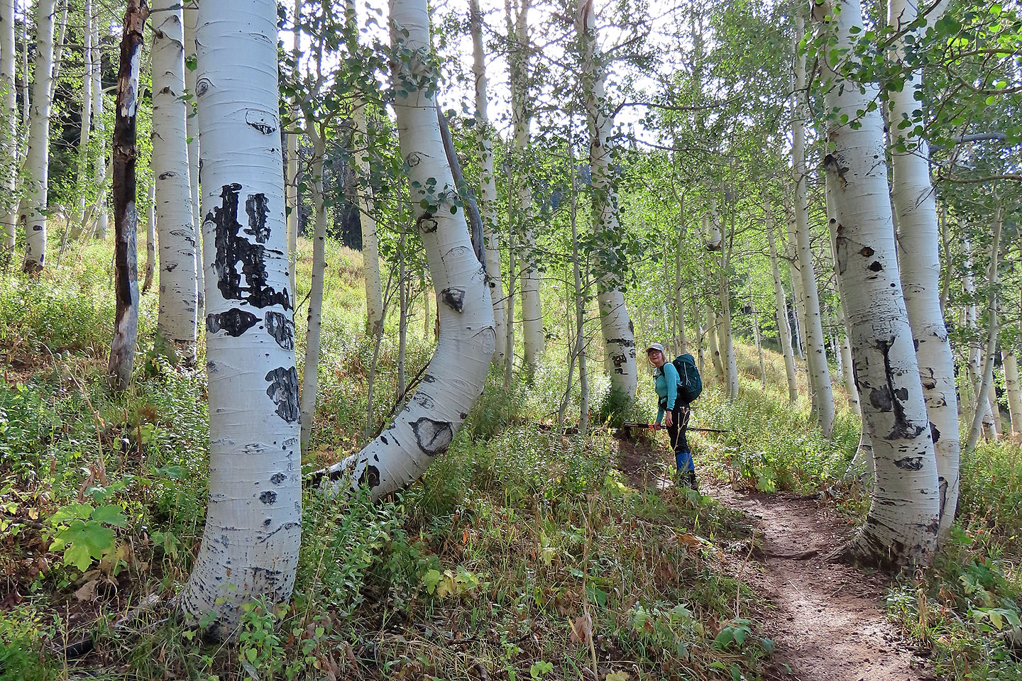
We passed aspens with thick trunks
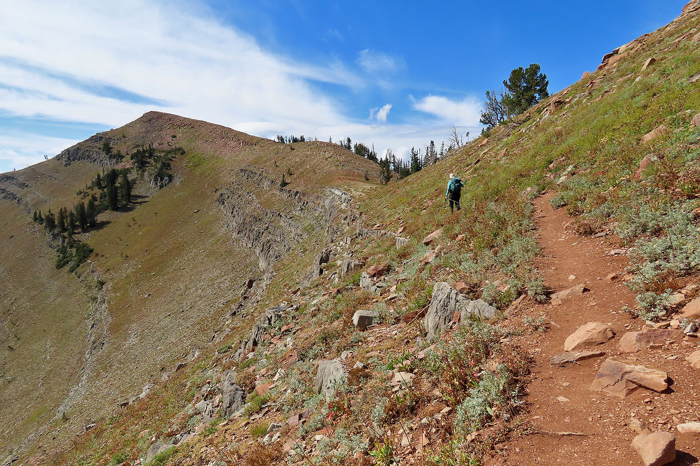
The trail climbs to the saddle on the left
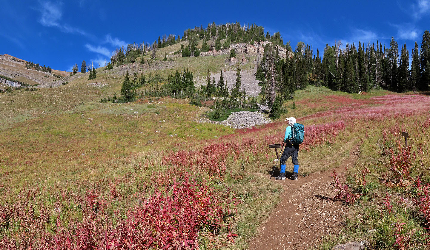
We came to a fork with two signs (mouse over)
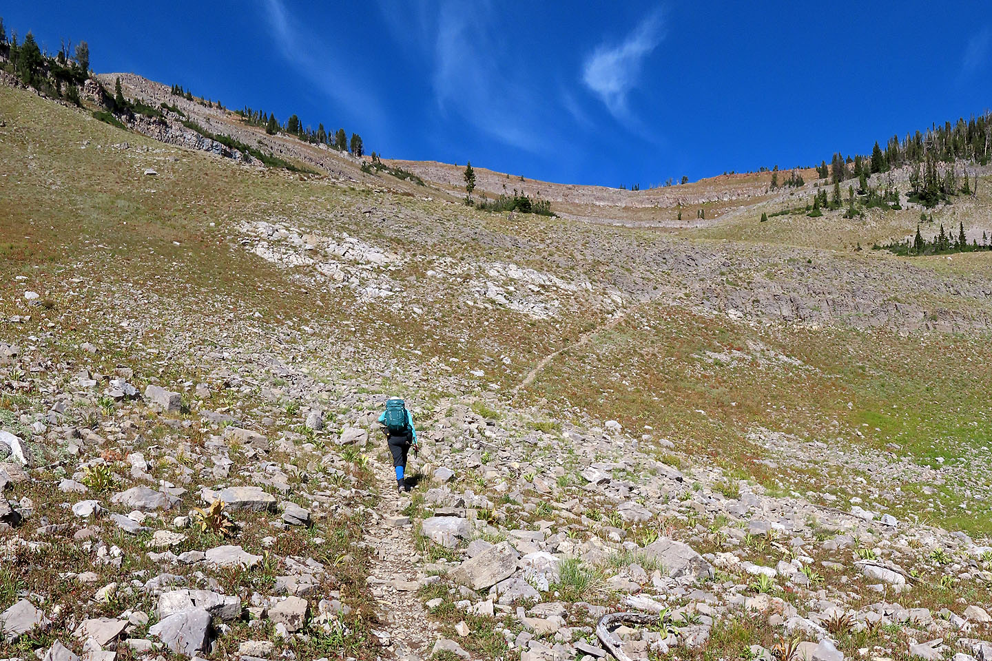
Following the trail to the saddle
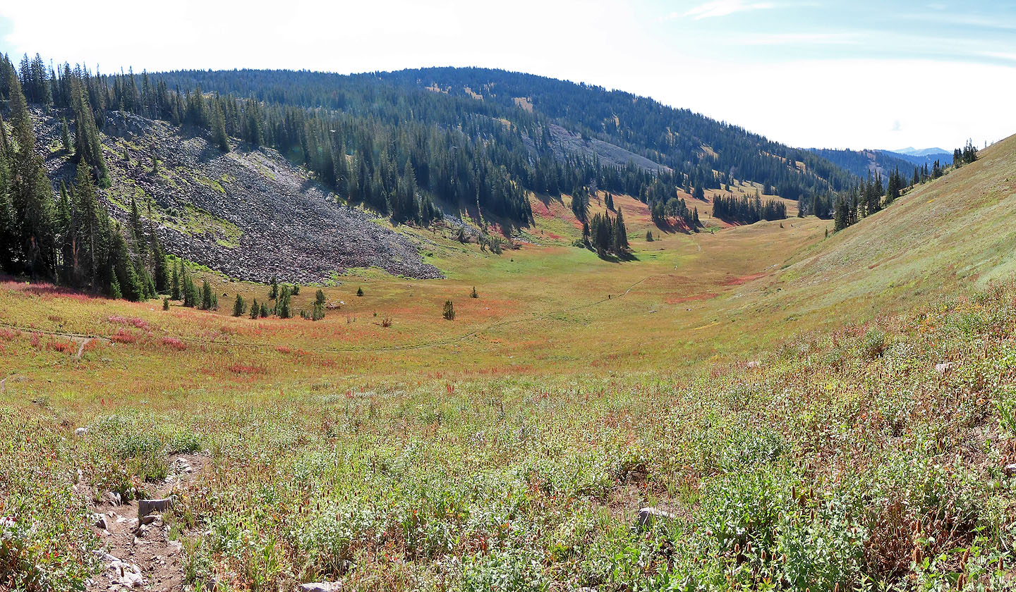
Looking back, fork is seen left
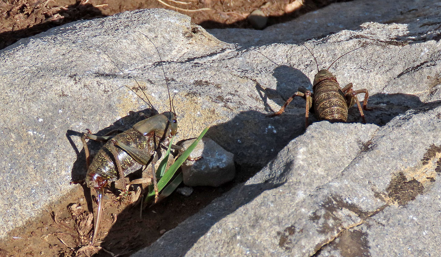
Mormon crickets, some as long as 1.5 inches, jumped off the path as we hiked up
The trail turns to enter the trees on the right
Far below, a man hikes in the meadow (mouse over to zoom in)
Coming up to the saddle
Looking back at the saddle after reaching the first high point

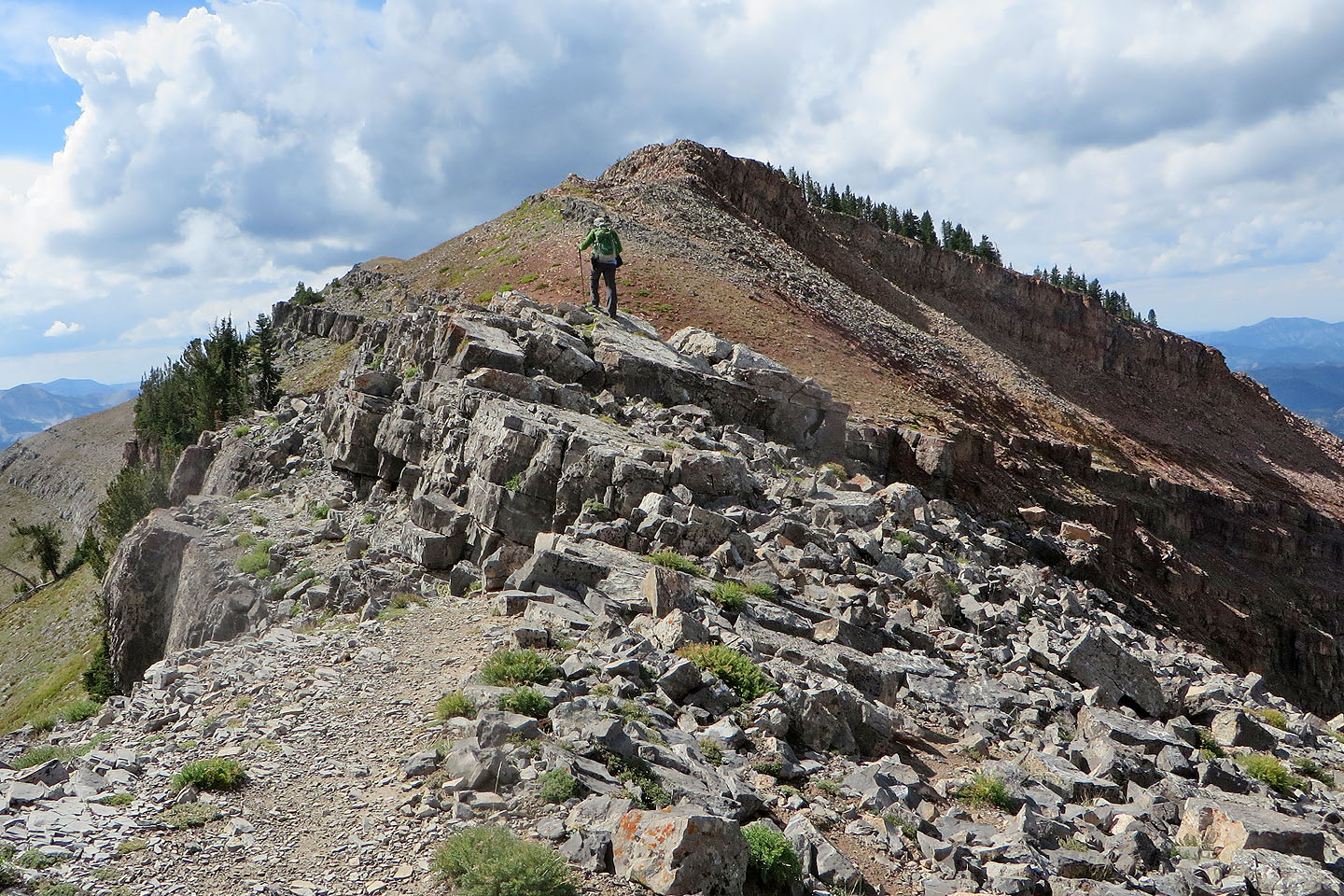
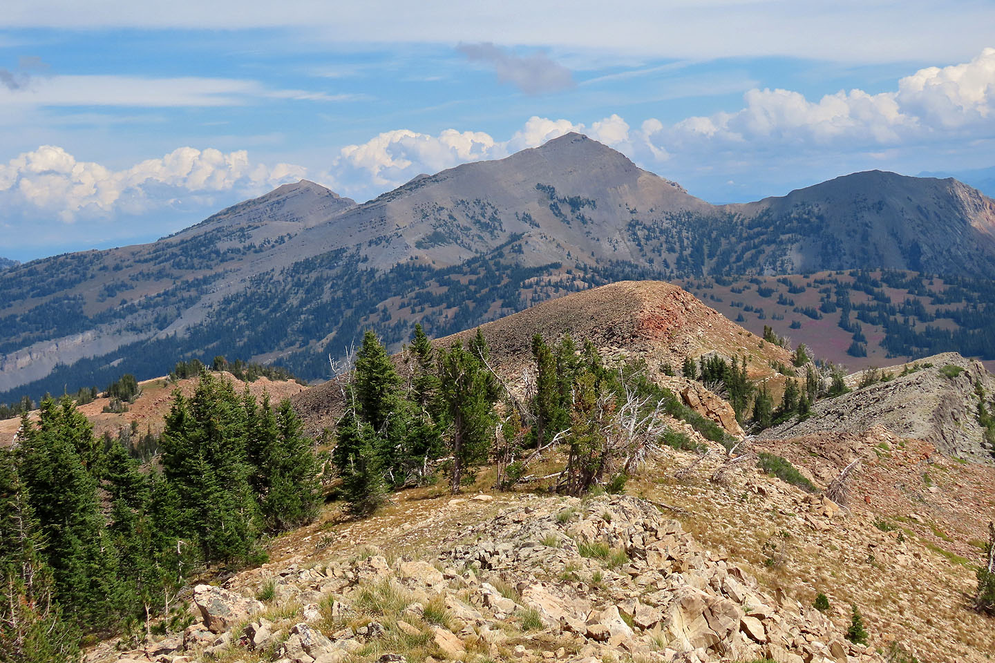
On the next point, we saw the summit
Dinah makes her way down the rocks
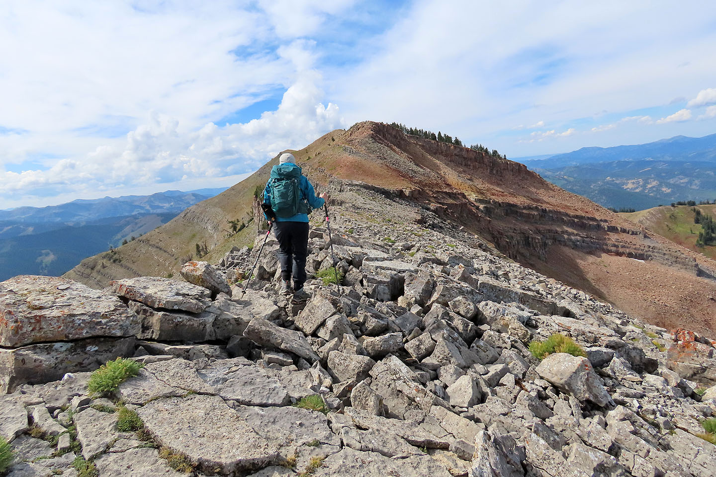
Continuing to the summit
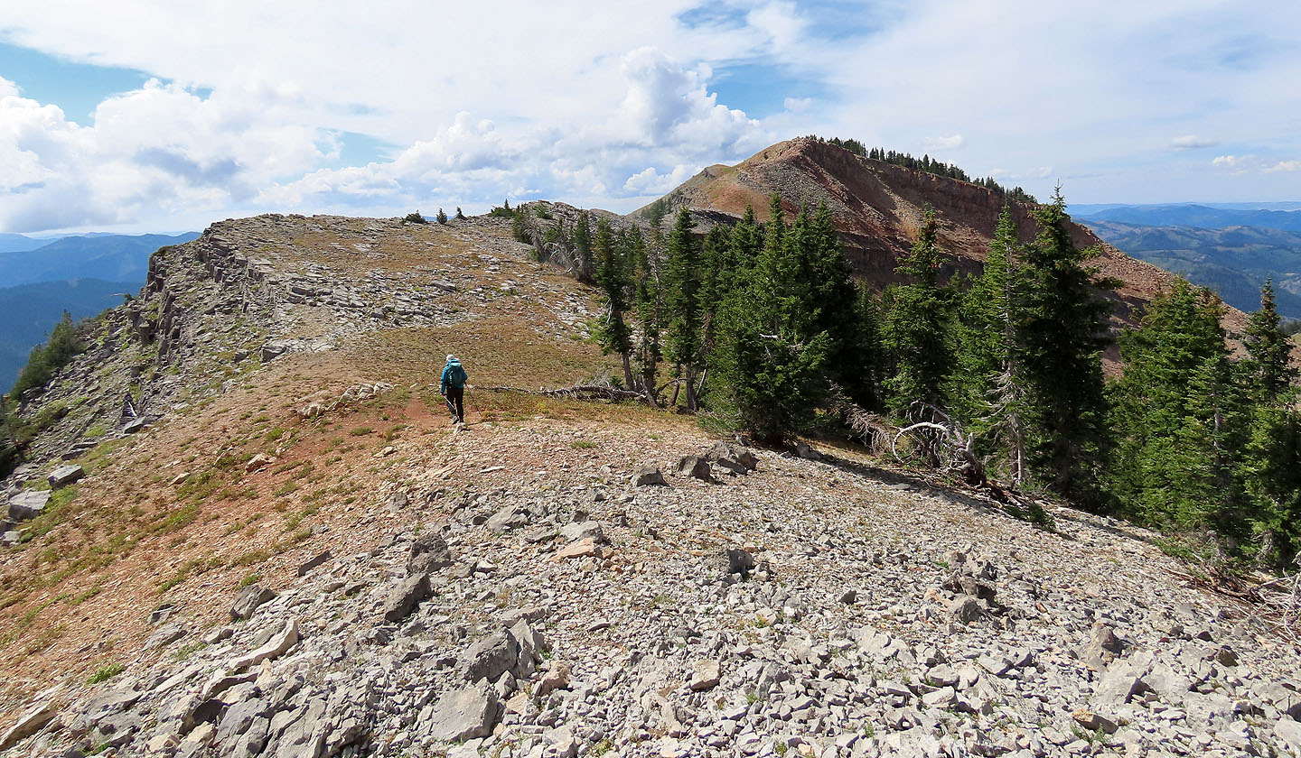
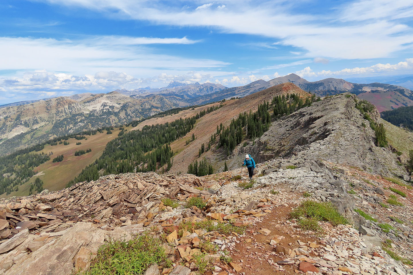
The summit is the centre bump
The brown bump ahead is steep but short
Looking back along the ridge. Grand Teton is in the centre.
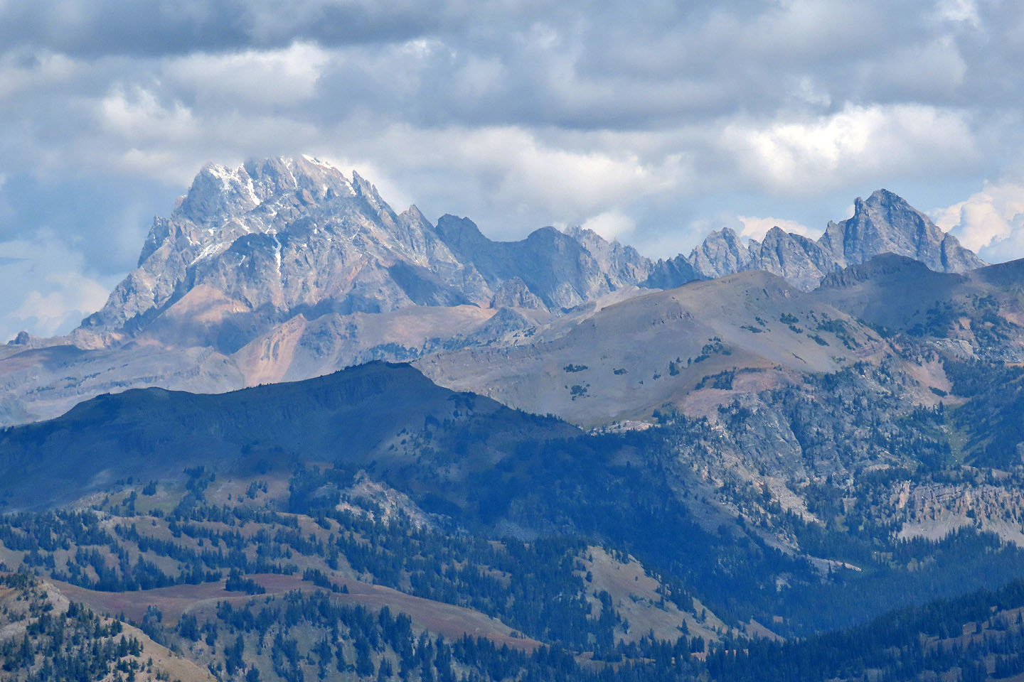
A close look at Grand Teton (4199 m)
Closing in on the summit
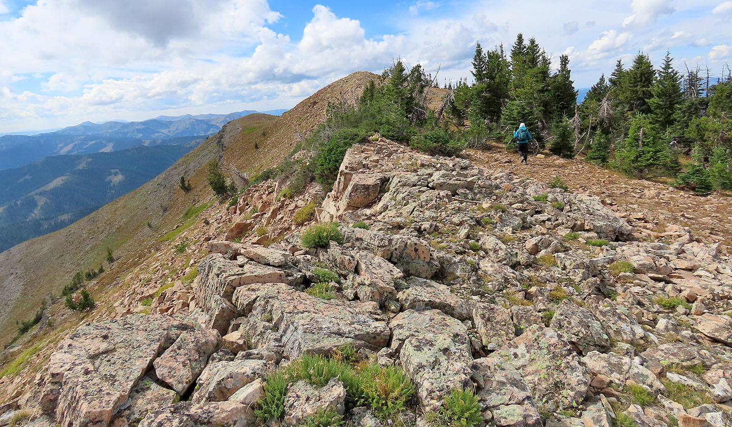
Behind us is Rendezvous Peak (3332 m)

Standing on the summit
Rendezvous Peak (8.7 mi, 3156 ft, 10354 ft)