bobspirko.ca | Home | Canada Trips | US Trips | Hiking | Snowshoeing | MAP | About
Greenhalgh Ridge
Kanab, Utah
April 22, 2023
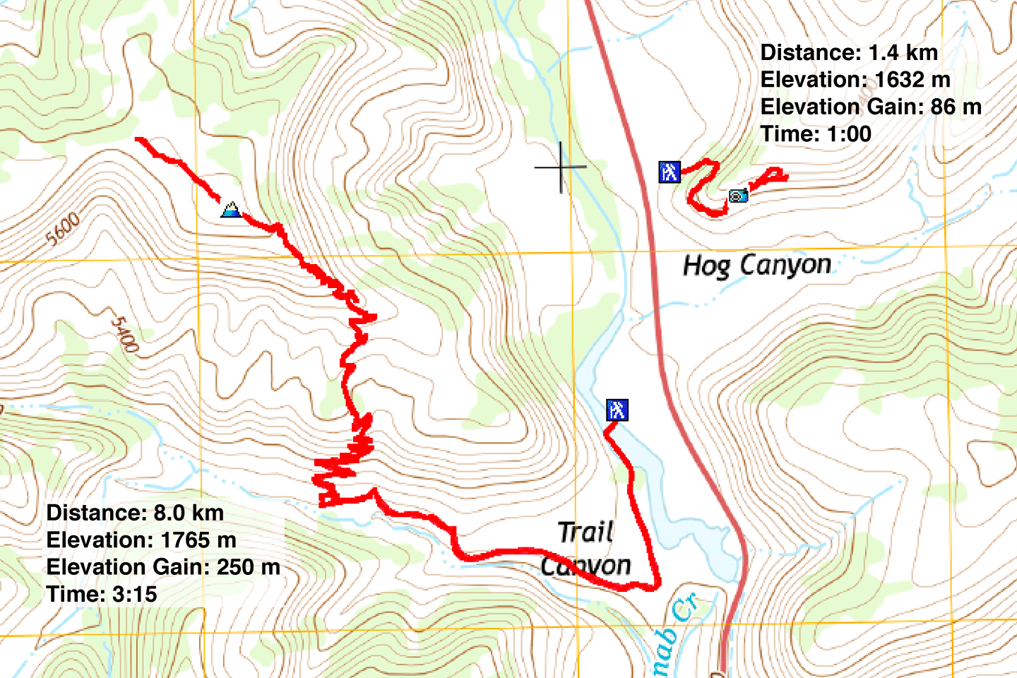
Distance: 8.0 km (5.0 mi)
Cumulative Elevation Gain: 280 m (919 ft)
For a change in scenery on our vacation, Dinah and I drove an hour and a half east of St. George to hike Greenhalgh Trail. The trail is named after the Greenhalgh brothers who settled in the area in the early 1900s. The ridge that the trail climbs apparently has no name but it seems natural to call it Greenhalgh Ridge.
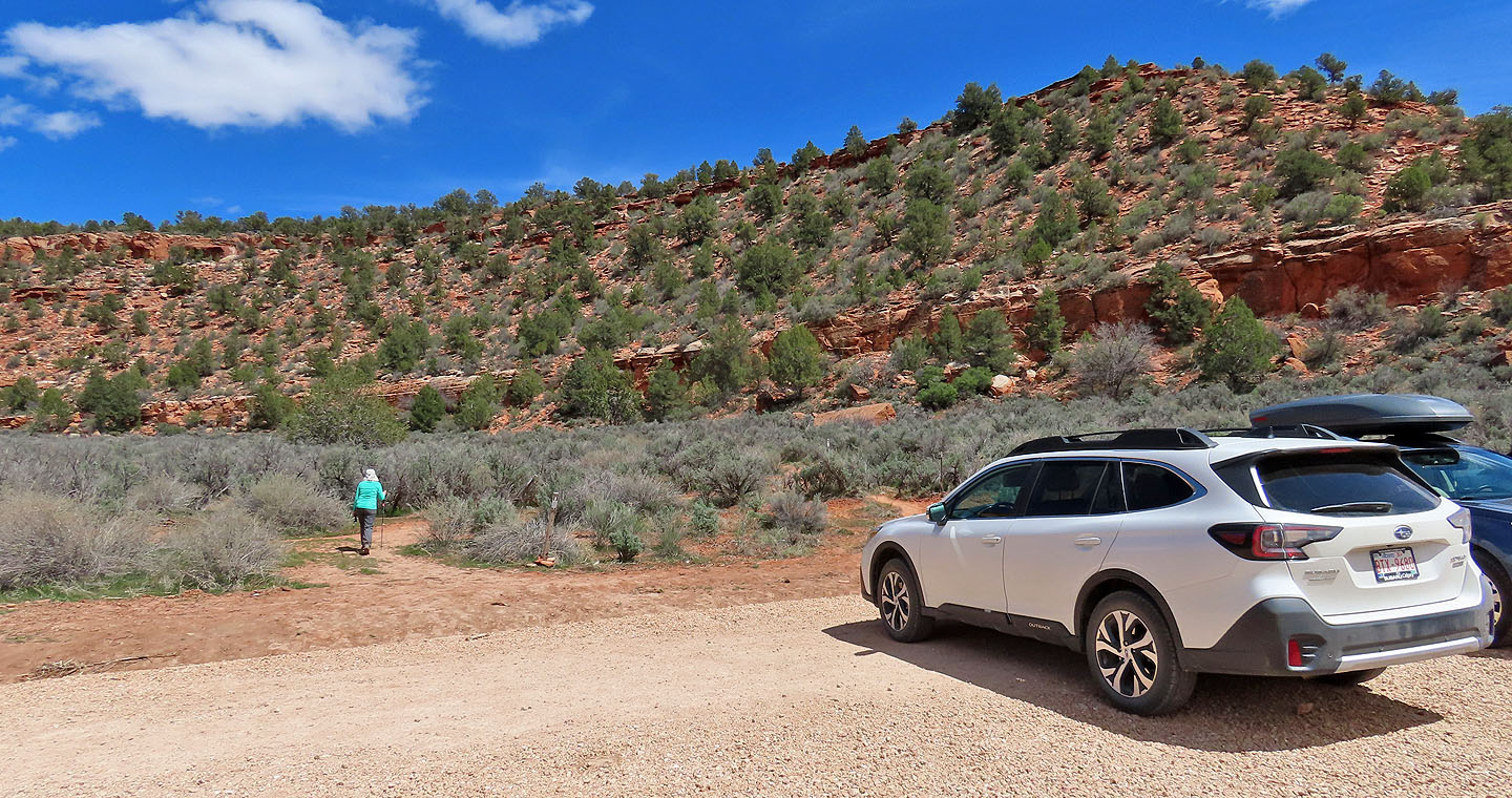
From the parking lot, we crossed a small bridge over the Kanab River. The bridge allows ATV and foot traffic but not full-size vehicles. Unfortunately, we don't have an ATV, so we had to walk 600 metres to the trailhead.
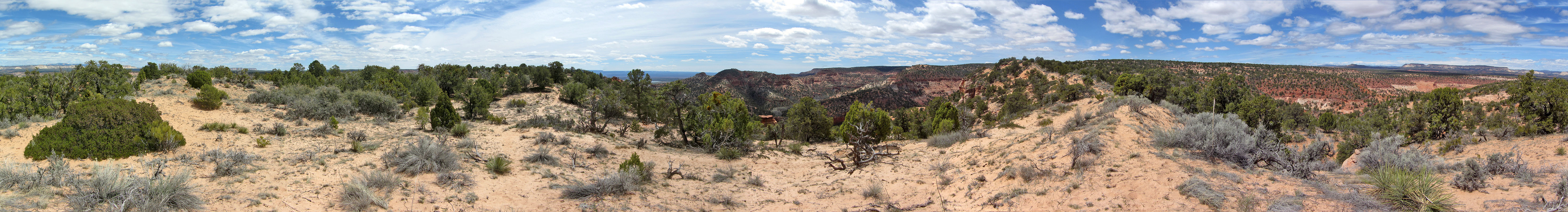
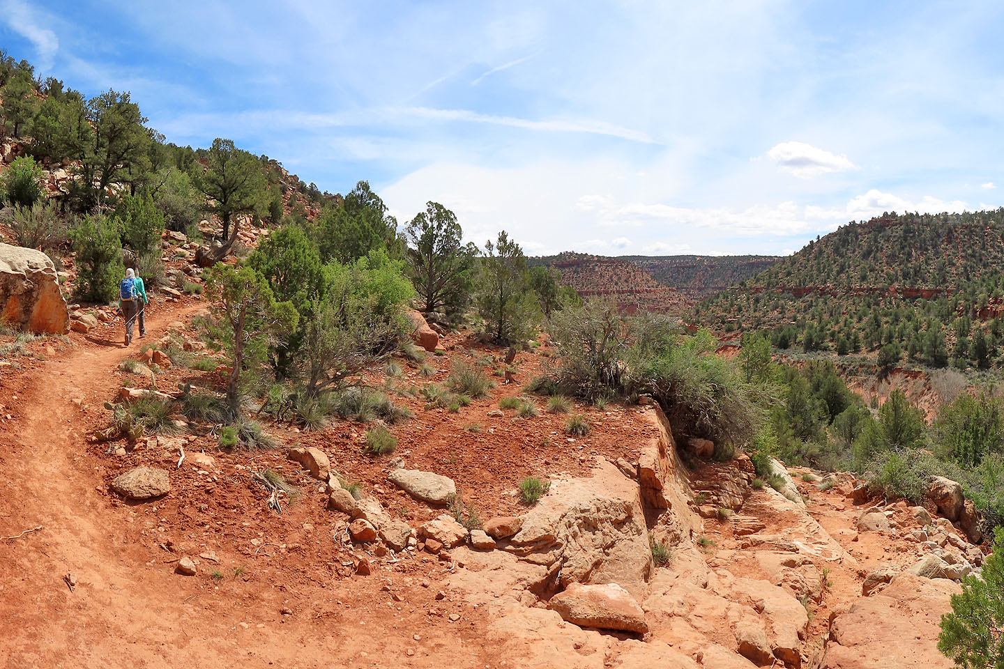
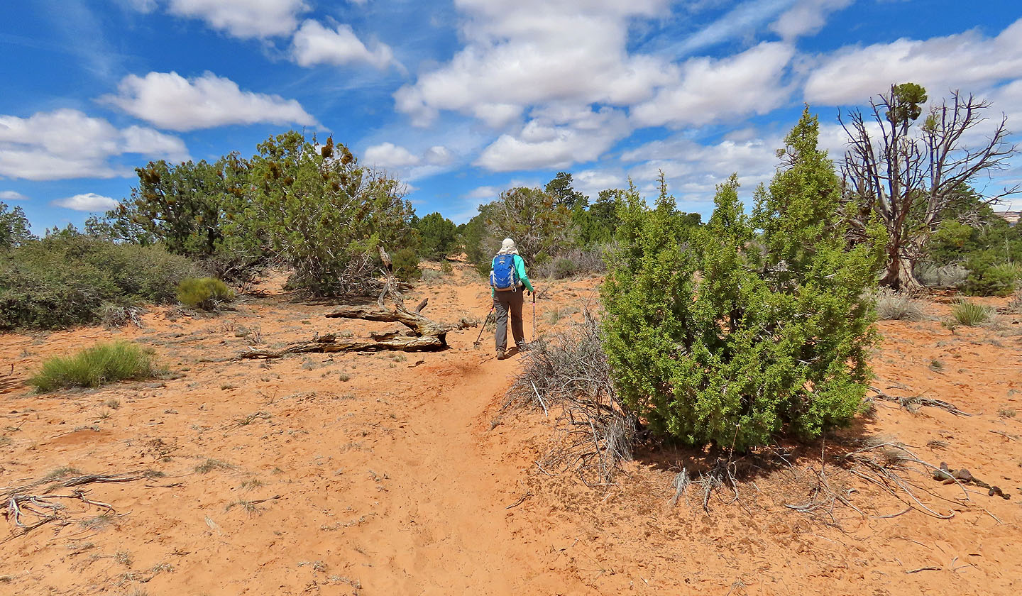
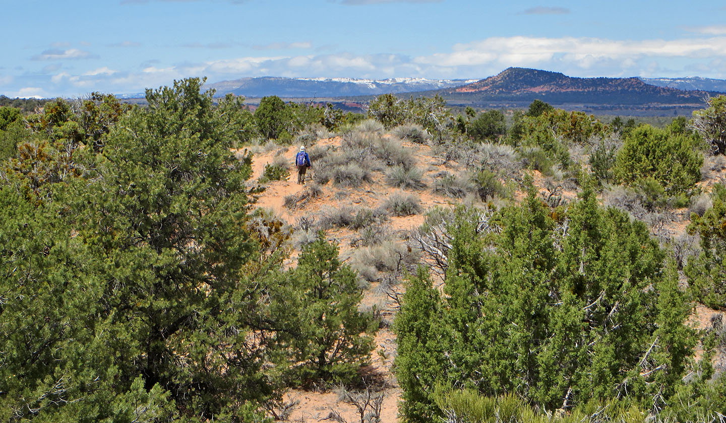
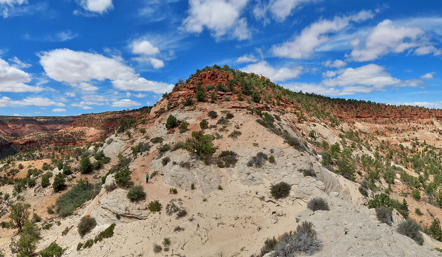
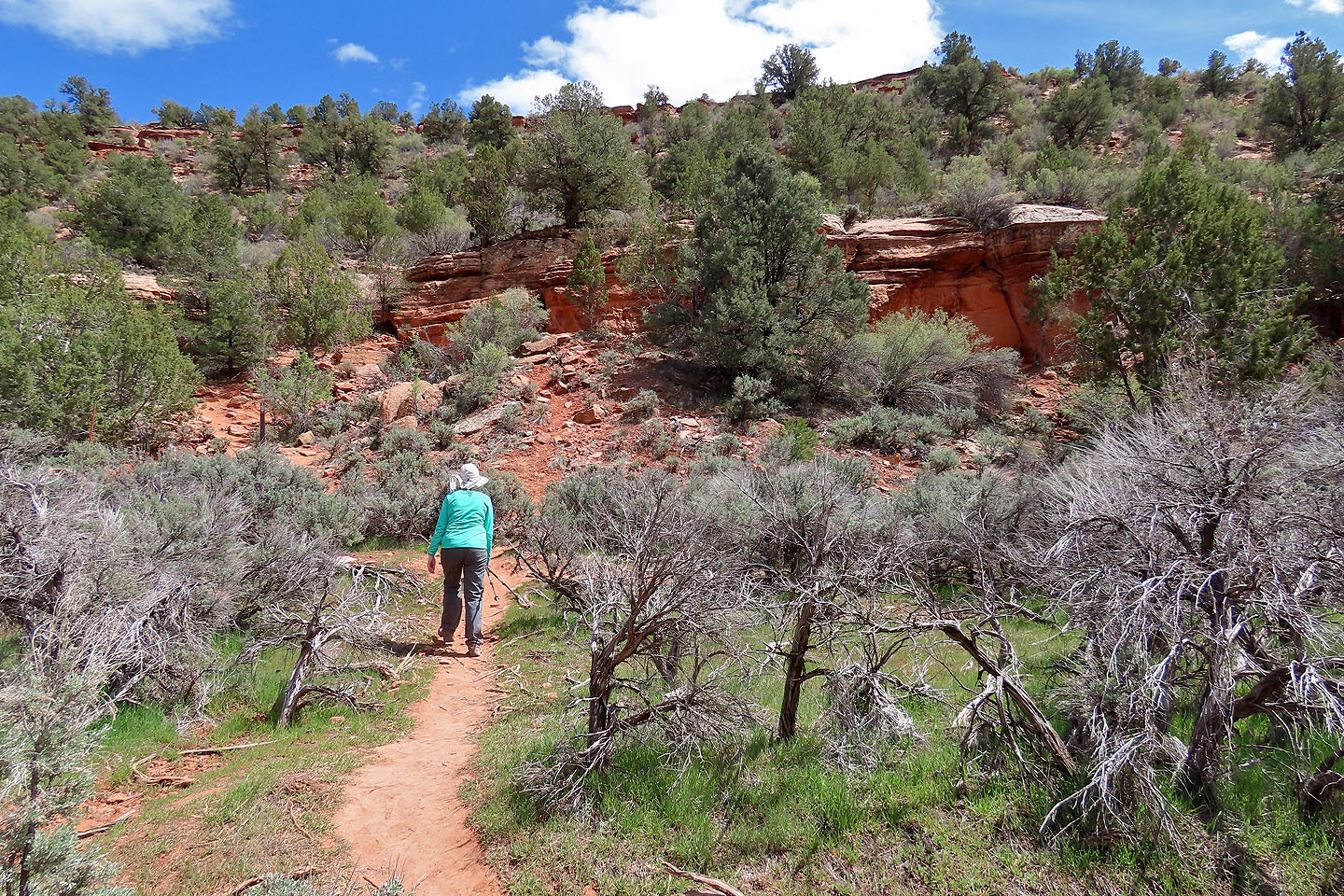
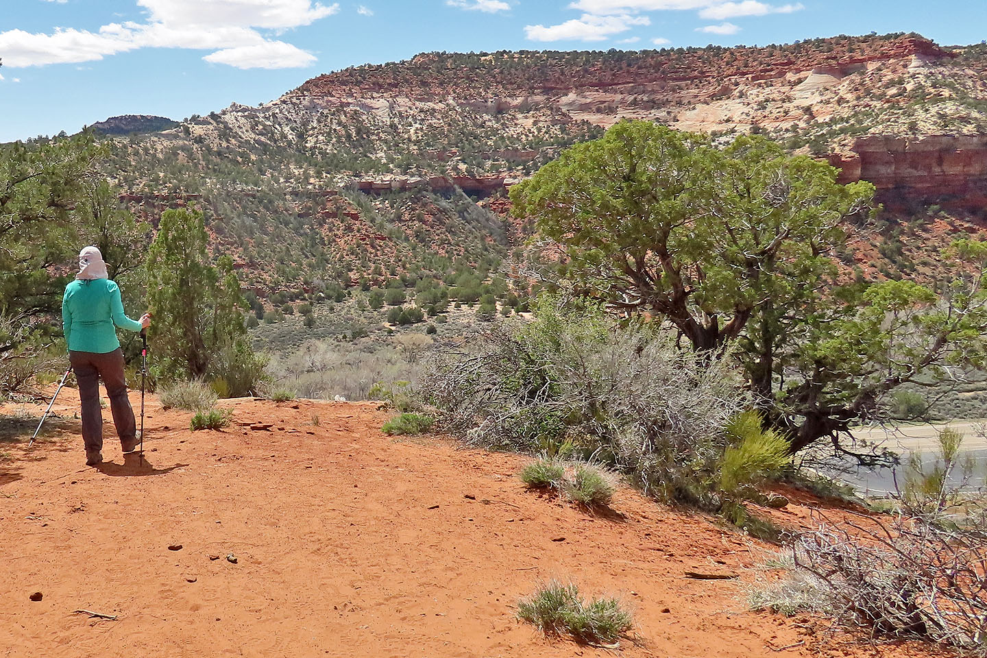
The trail crosses desert flats before following the edge of a valley. In a short time, the path turns and using switchbacks, begins climbing to the ridgetop. As we hiked, we took in a landscape of contrasting colours: dark green trees set against red rocks and sand. In this setting, a white outcrop stands out. Like a giant horn rising dozens of metres above the ridge crest, it drew our attention from afar.
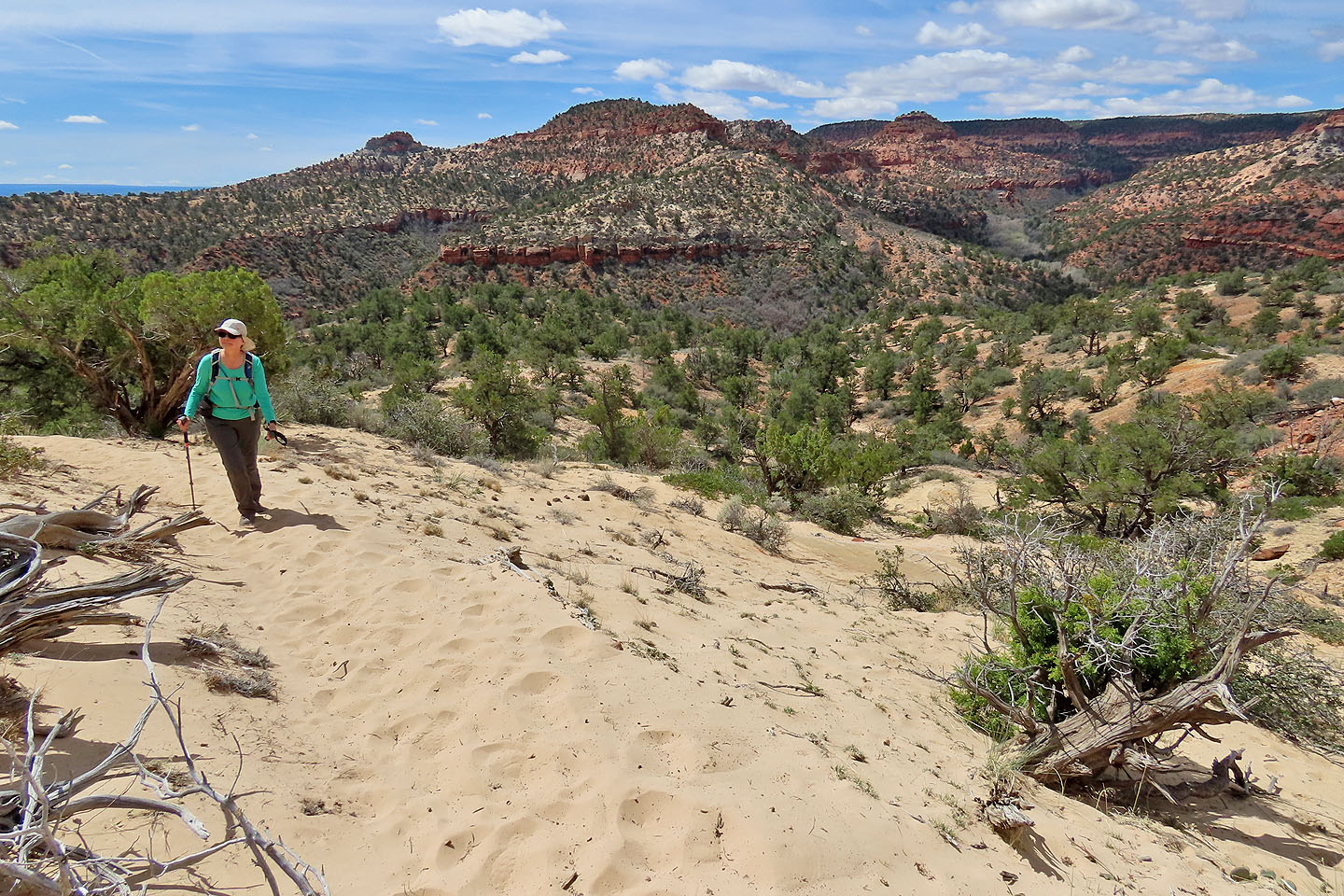
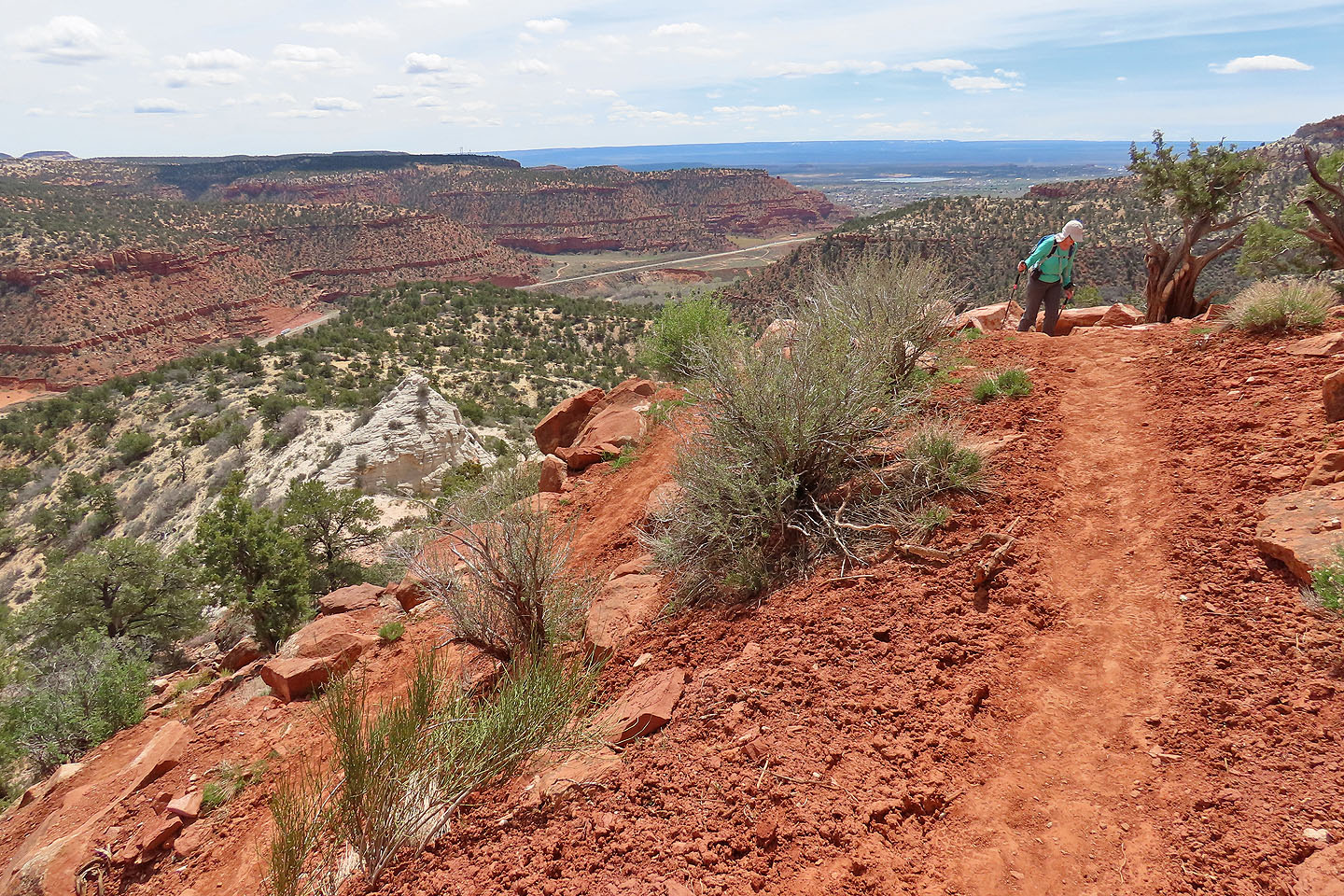
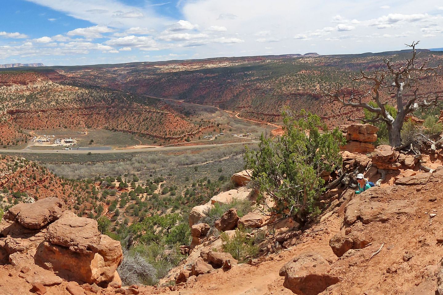
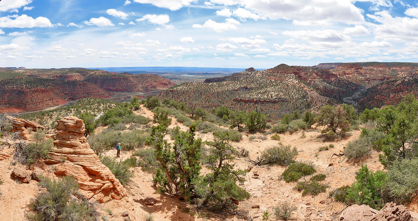
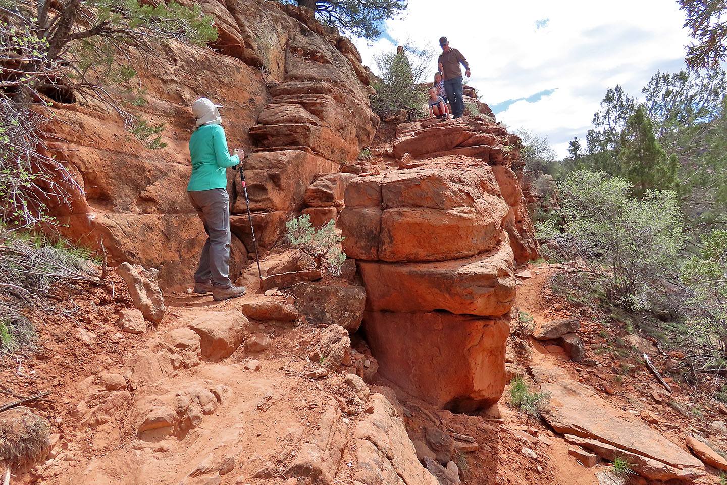
After passing the outcrop, the trail follows the ridgeline. We passed a few interesting rock formations before the trail levelled off and the landscape turned featureless. Three bumps line the ridge crest. The first bump is the highest, but trees on both the first two bumps impeded views. However, the third bump offered an unobstructed viewpoint.
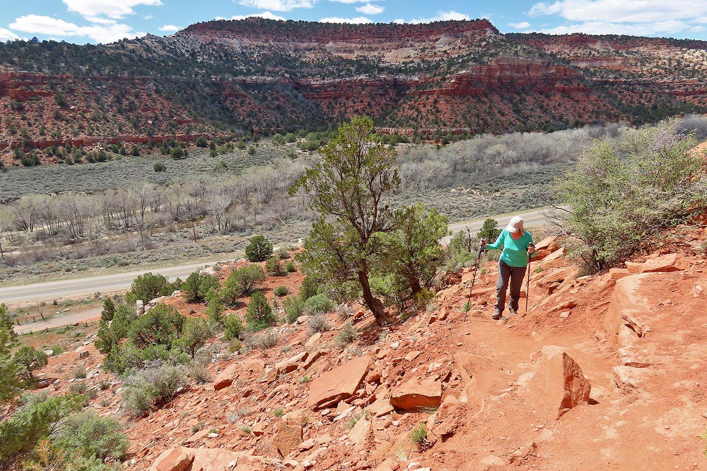
Soft sand had hindered much of our hike up and along the ridge, but after turning around, we delighted in descending in the sand. Nor did our adventure end when we returned to our car. We had another trip planned. We drove 600 m down the highway to hike up a trail to see dinosaur tracks.
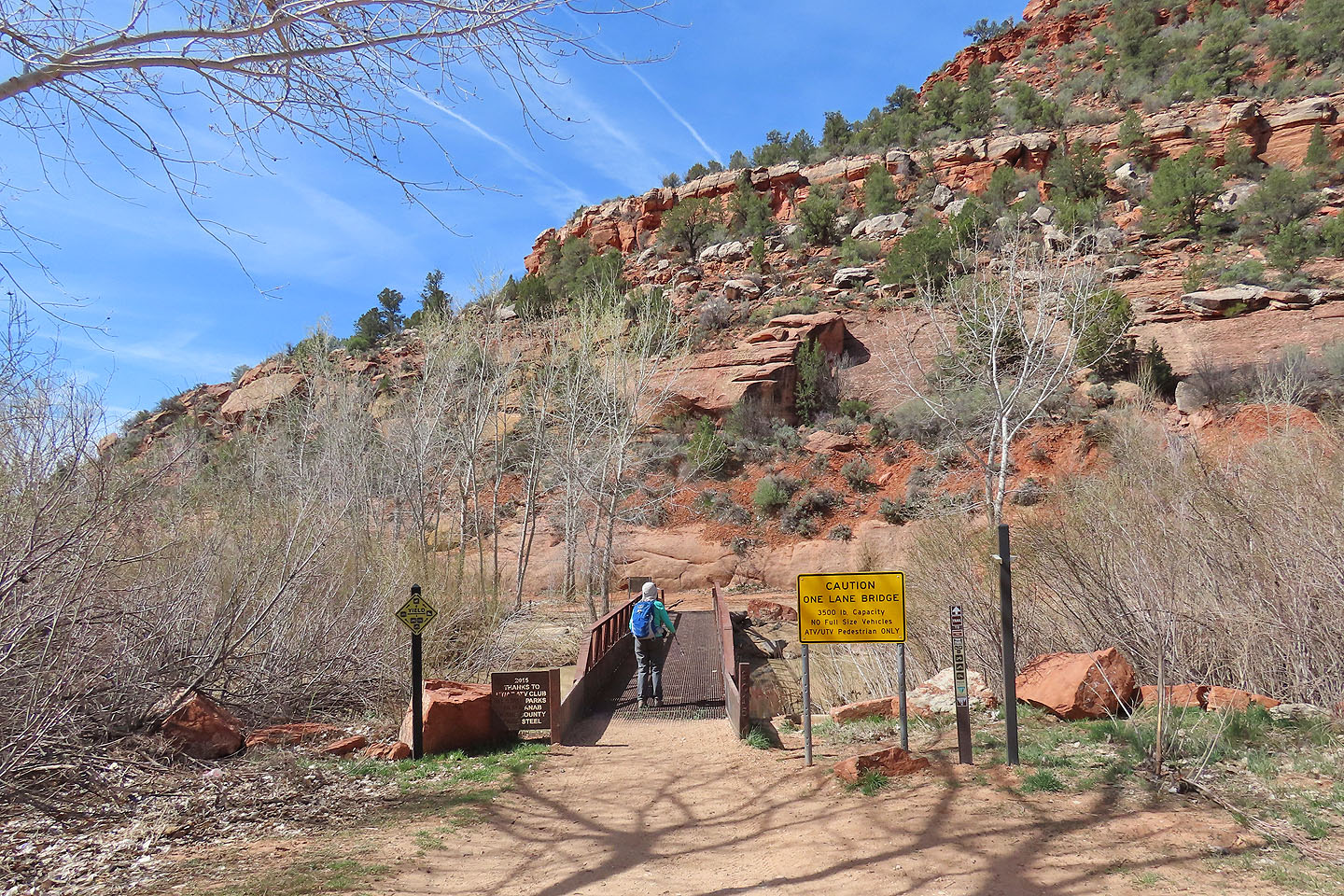
The hike begins by crossing Kanab River. The bridge allows ATVs but not full-size vehicles.
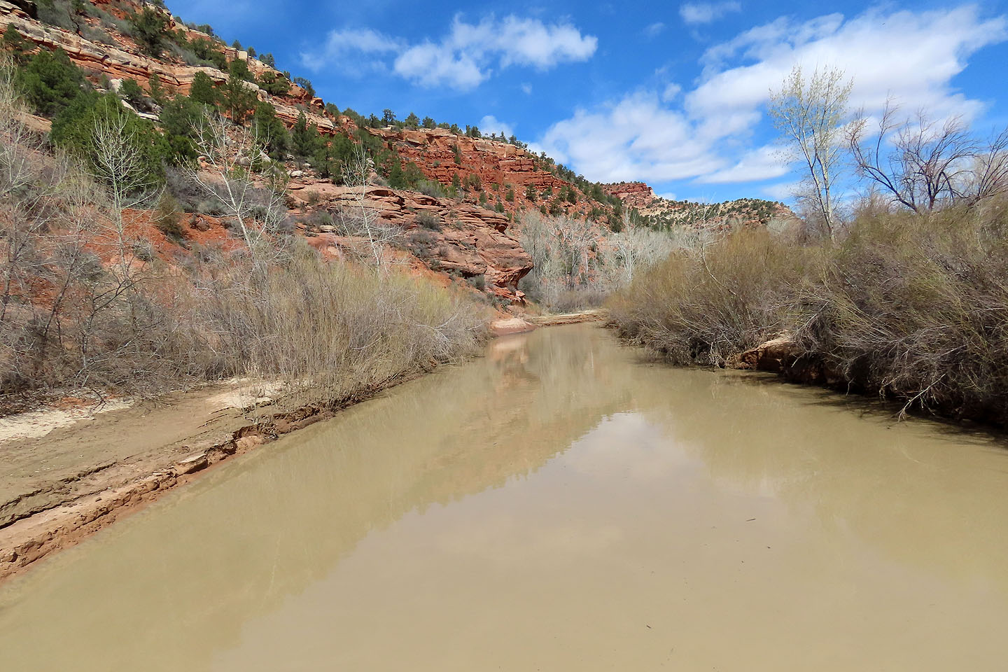
It's not a pretty river
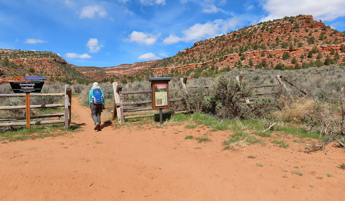 The true trailhead is a 600 m walk from the bridge, On the right is Greenhalgh Ridge.
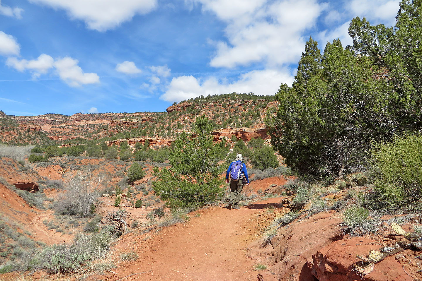
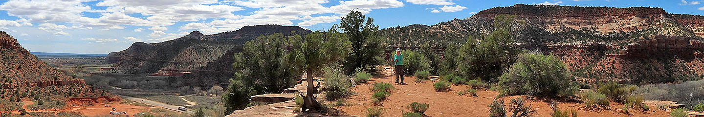
The trail follows the edge of a valley
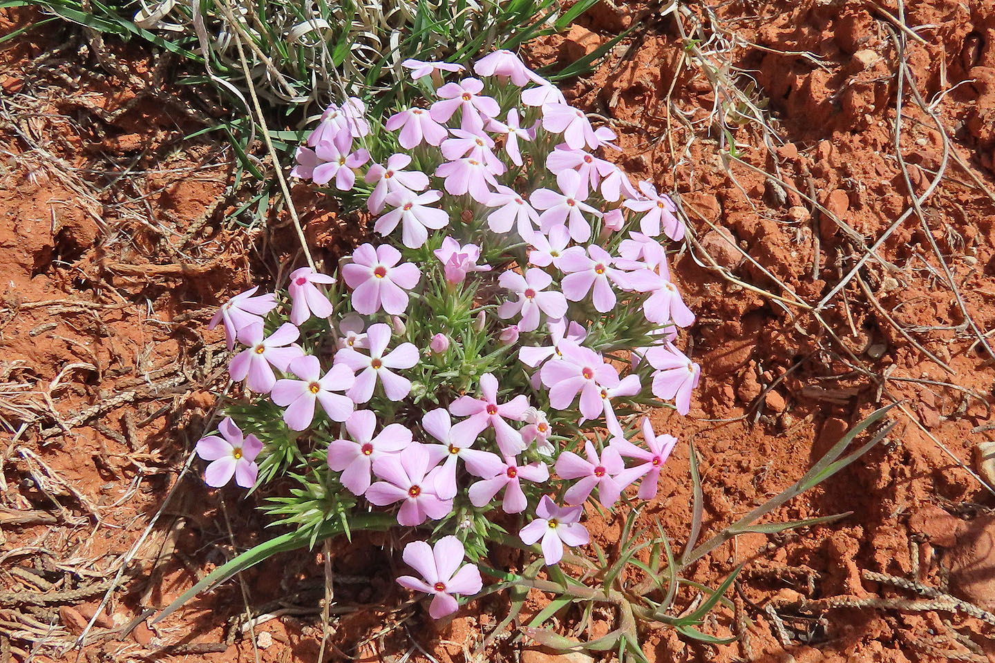
Mountain phlox
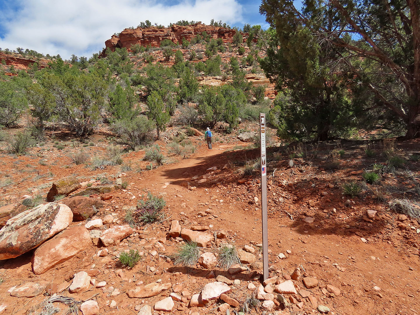
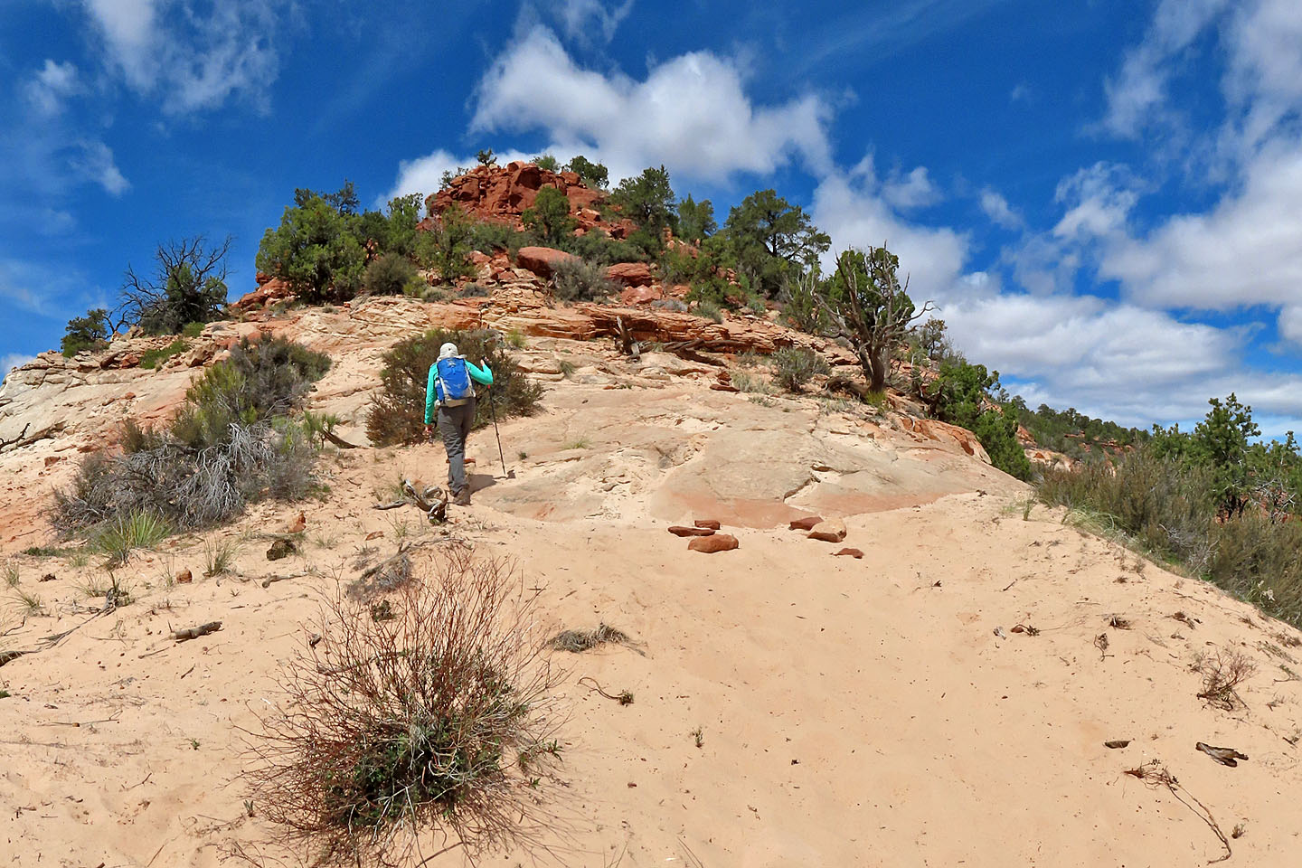
The trail finally leaves the valley and starts up the ridge
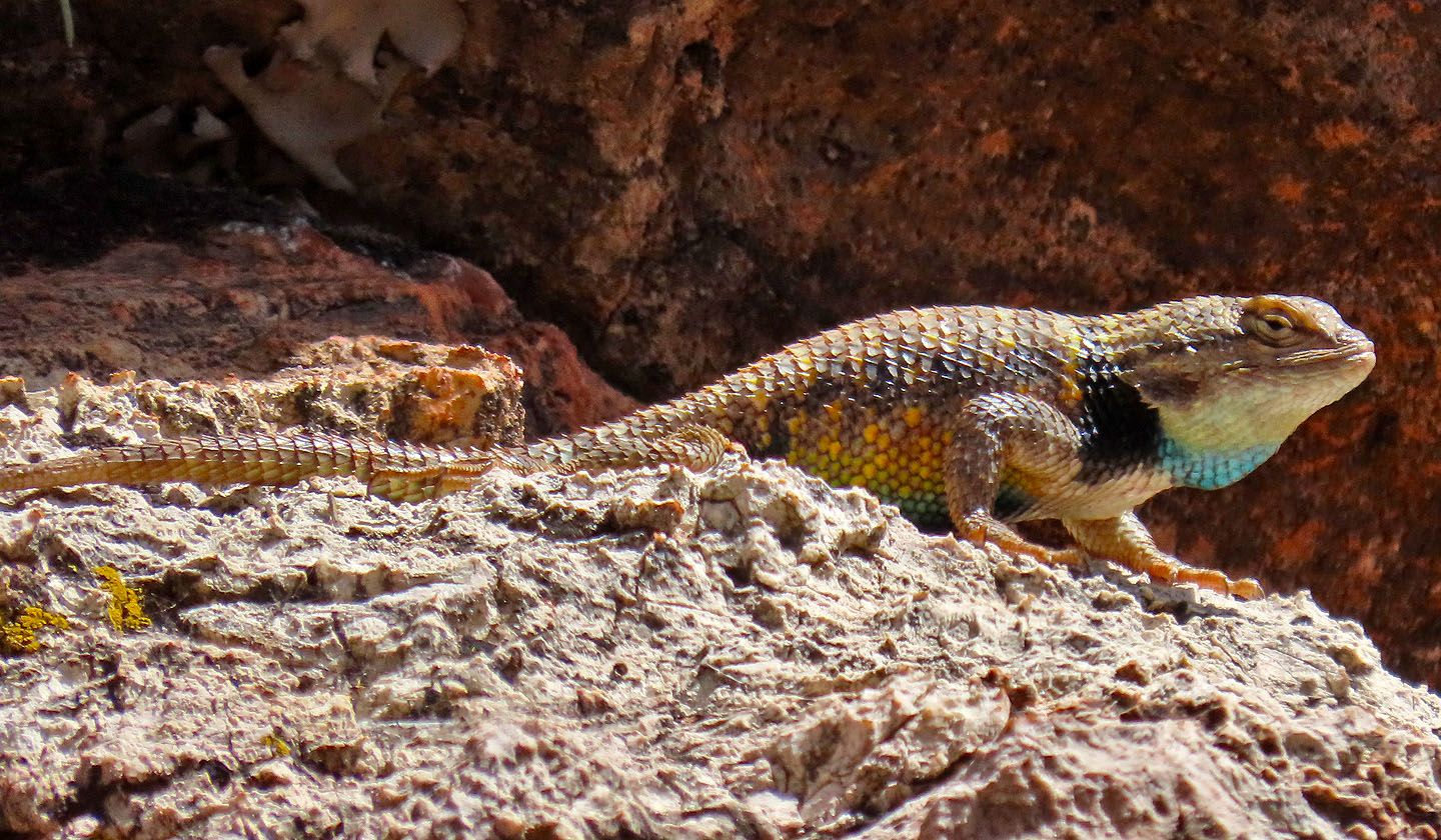
Feeling threatened, a yellow-backed spiny lizard inflates. Mouse over to see it before it inflated.
Going up one of several switchbacks
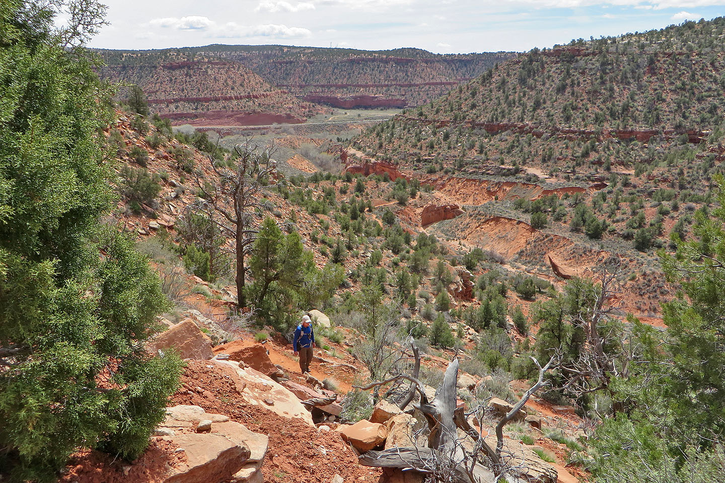
Looking back, the lower trail can be seen in the centre
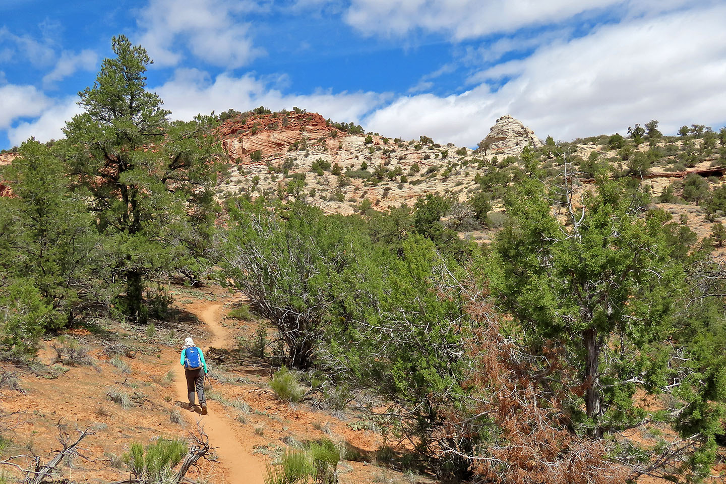
The trail passes a white outcrop on the ridge
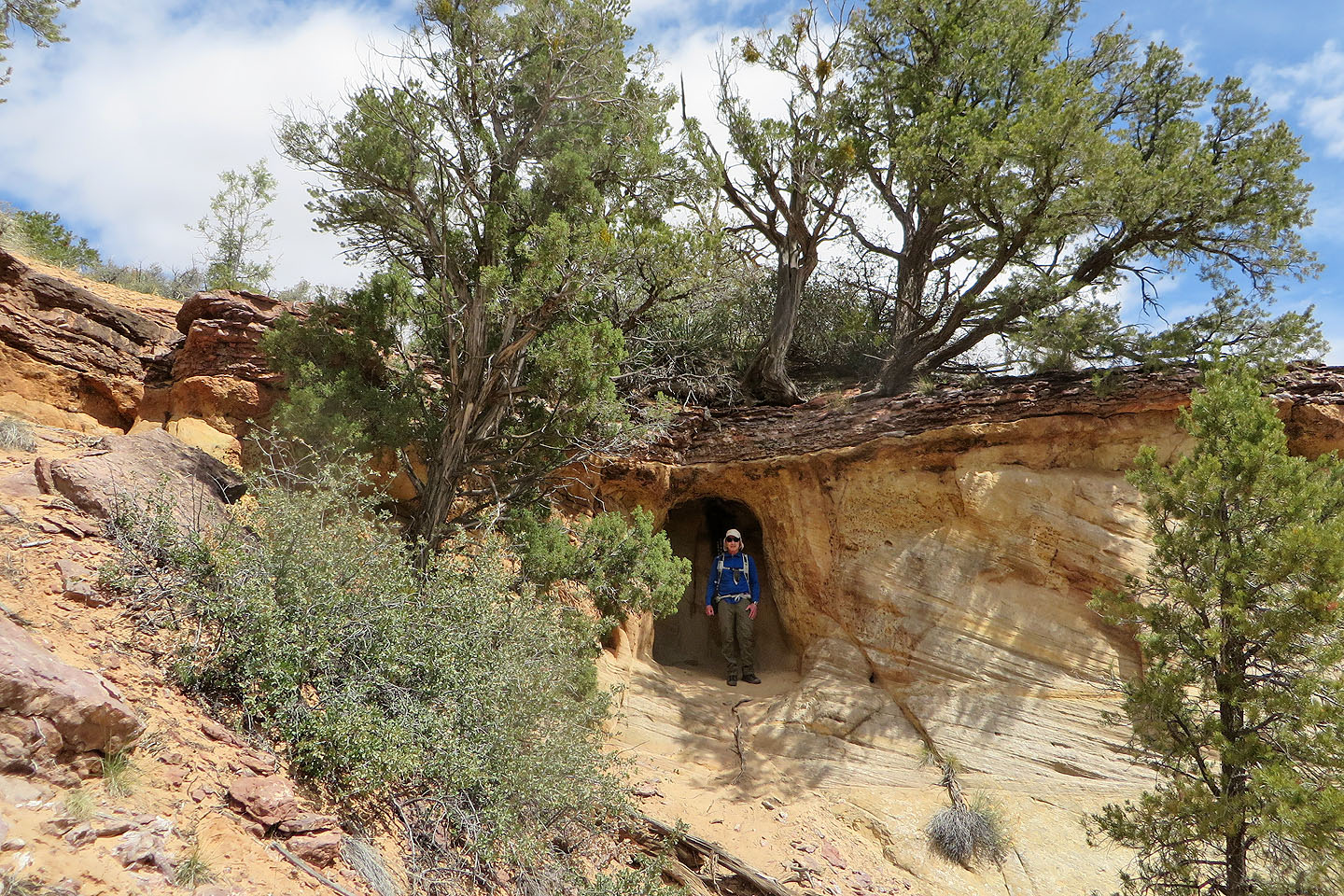
There's a shallow cave by the trail (mouse over for a close-up)
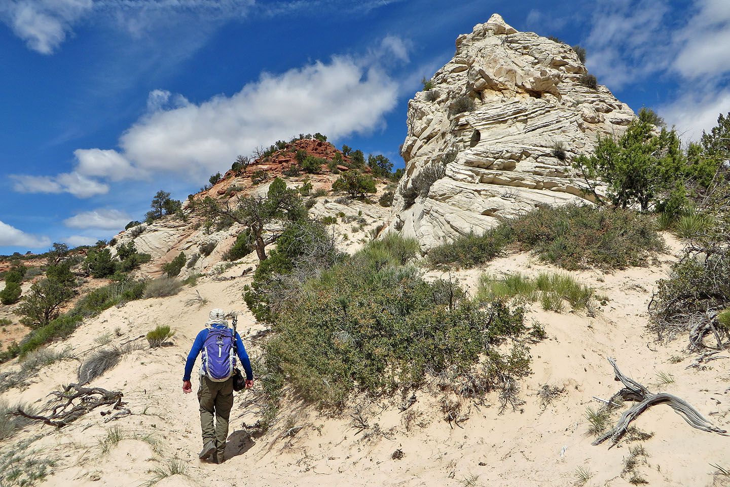
Passing the outcrop
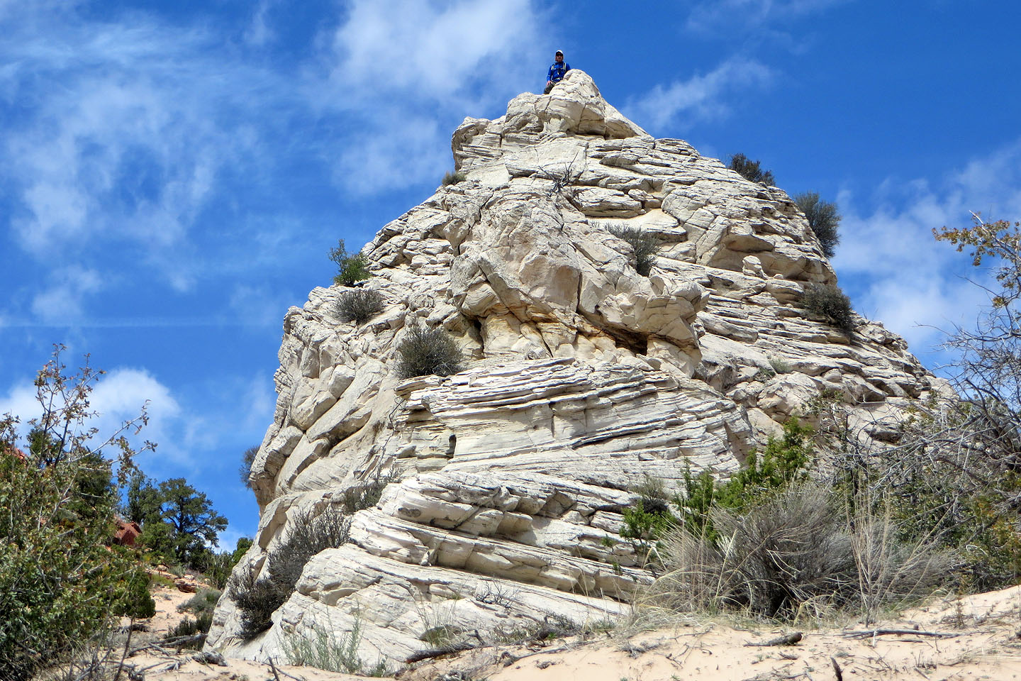
I was able to reach the top
Deep sand hampered travel the rest of the way up
The trail continues along the ridge
We're well above the outcrop now
The ridge in the centre is where the dinosaur tracks appear
The rest of the hike along the ridge was mostly through trees
Only the third bump on the ridge had unobstructed views
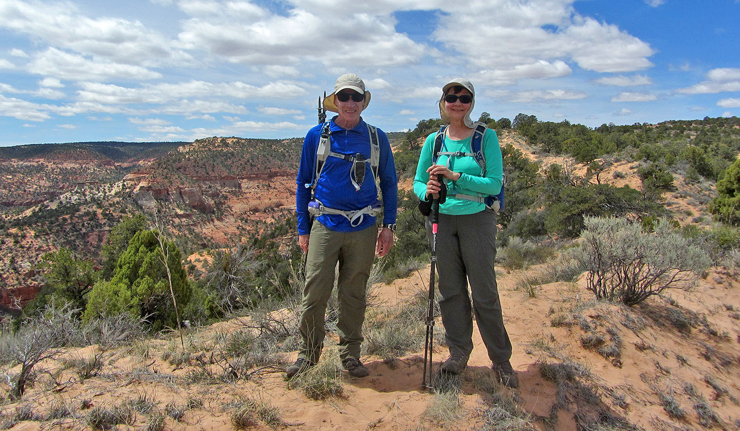
Posing on the bump
Heading back down we're treated to some great scenery
View from the top of the white outcrop
Dinosaur Tracks
We've never seen dinosaur tracks before, and this short trail seemed worthwhile. It climbs to a rock shelf where dinosaurs left their mark in stone millions of years ago. The huge tracks are few and poorly defined, but visitors have ringed them with stones and poured water in them to bring them into relief. It fires the imagination to think that this was once a stomping ground for beasts the size of an elephant with teeth the size of bananas. Happily they are no longer around, and we returned safe and sound.
On the trail to find dinosaur tracks
The trail goes through a cliff band
Getting up the cliff was the trickiest part
The trail quickly climbs
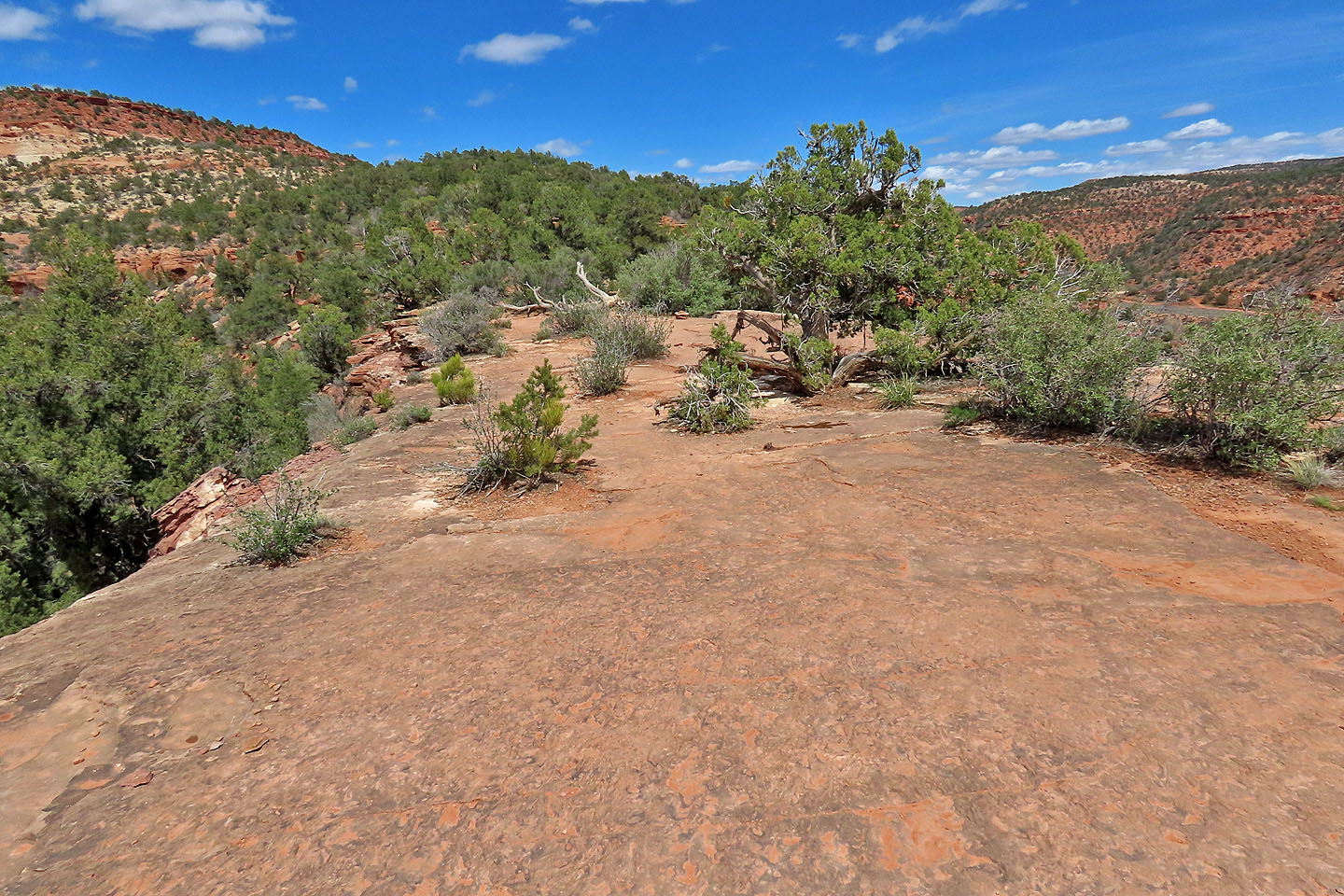
The tracks appear on this rock shelf
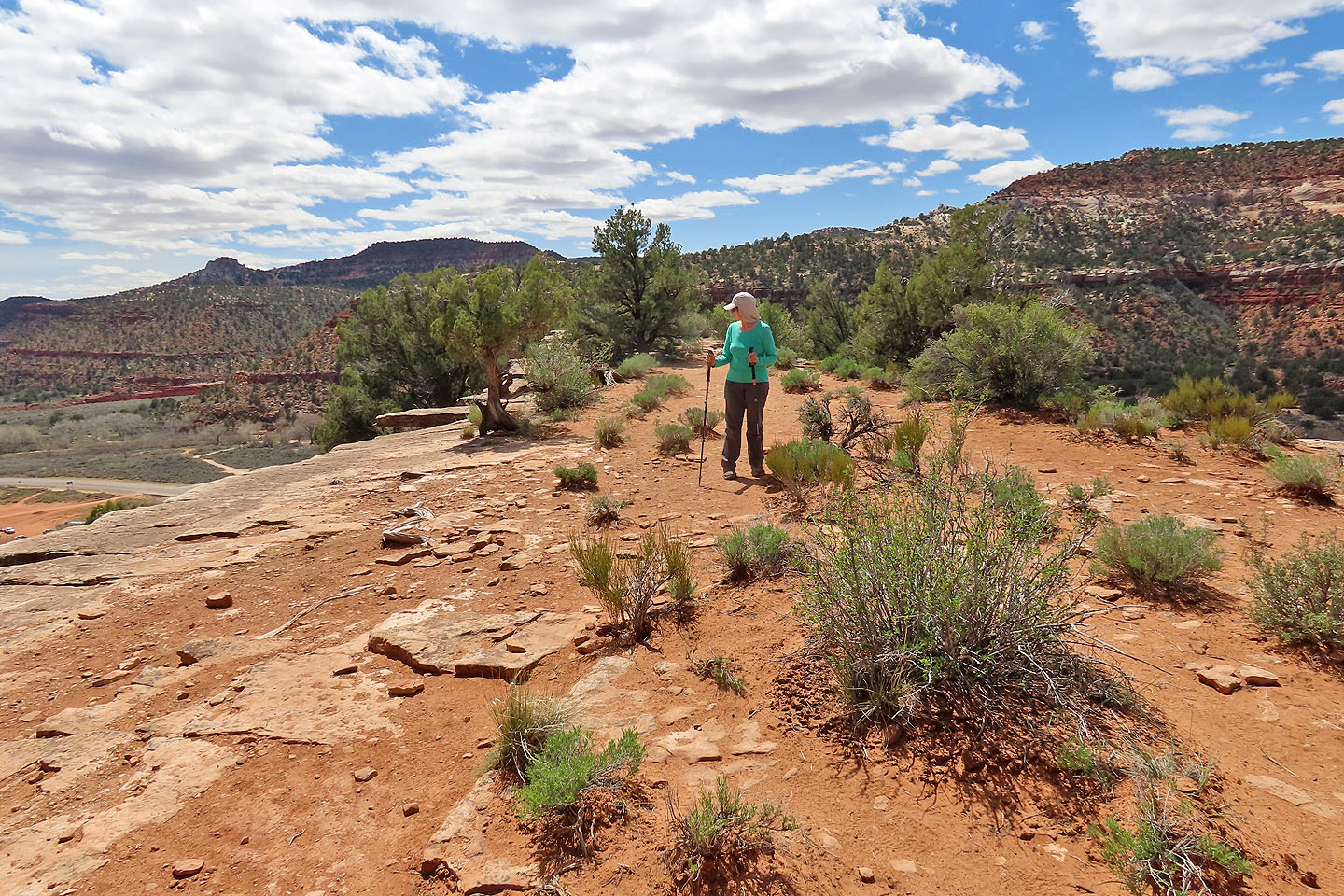
We wandered around looking for tracks
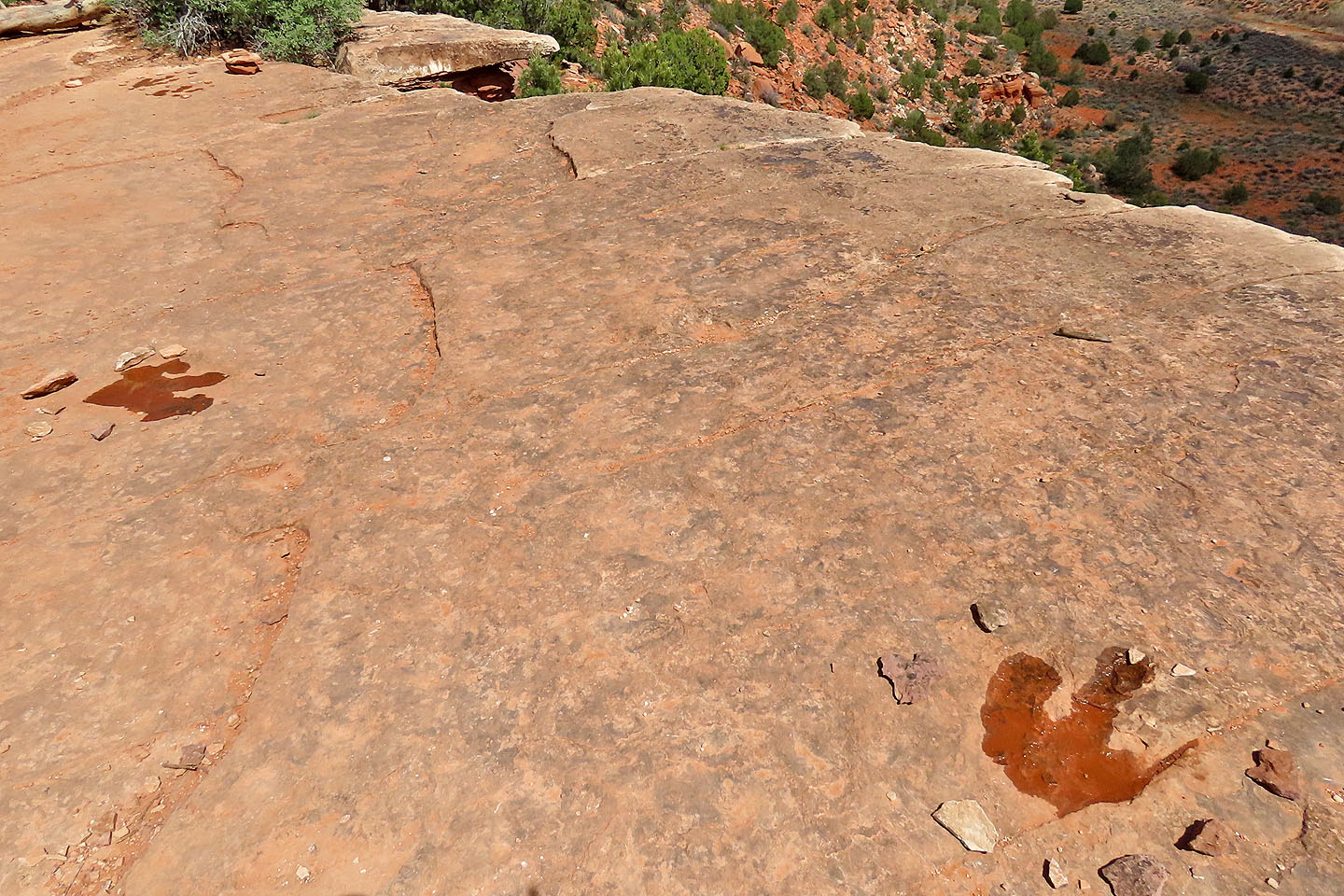
The tracks were marked with stones and water added to better show the relief
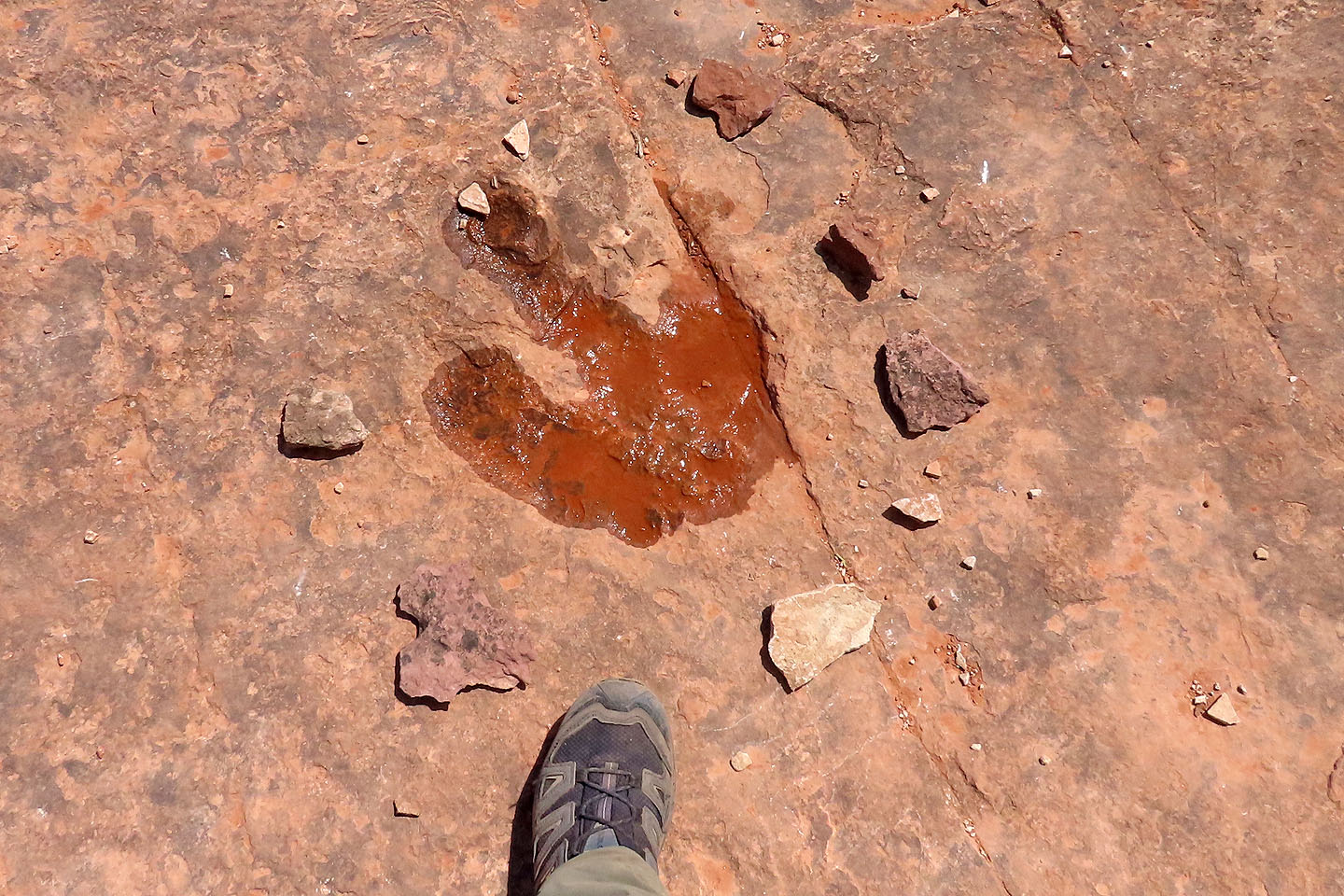
The tracks were quite large
We explored beyond the rock shelf, but didn't find any more tracks. However, we had a nice view of Greenhalgh Ridge and the white outcrop.
 Kanab (5.0 mi, 5856 ft, 820 ft / .9 mi, 5354 ft, 282 ft)