bobspirko.ca | Home | Canada Trips | US Trips | Hiking | Snowshoeing | MAP | About

Dark Angel
Arches National Park, Utah
May 1, 2024
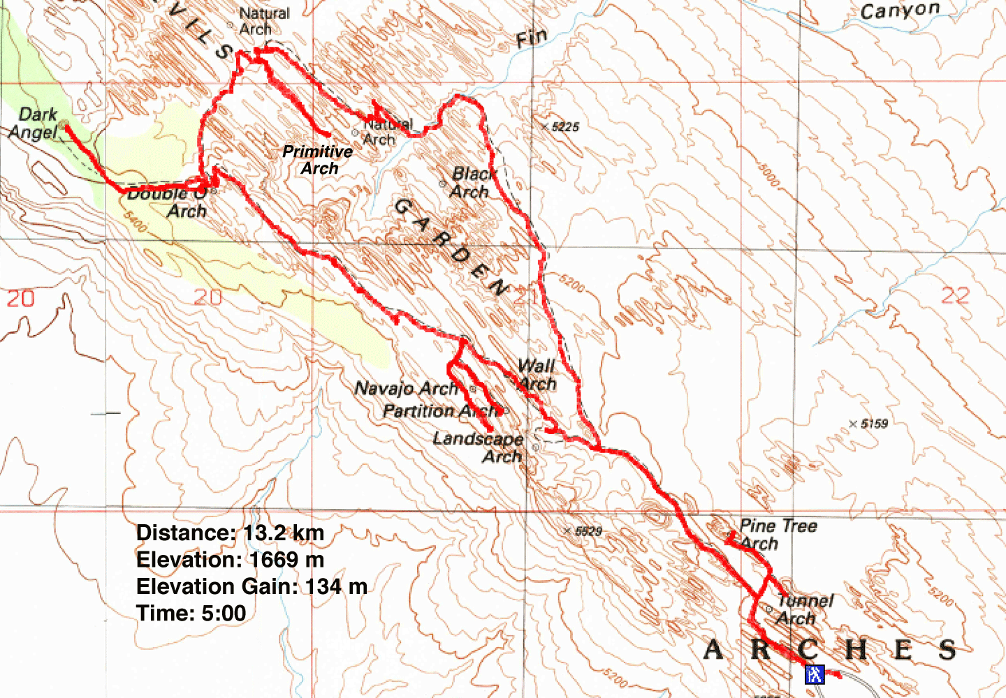
Distance: 13.2 km (8.2 mi)
Cumulative Elevation Gain: 360 m (1181 ft)
Our love of desert hikes drew Dinah and me to visit Arches National Park. Among the hikes there, the Devil's Garden Primitive Loop Trail is the longest and most difficult. Winding through and over gigantic sandstone fins, the route reaches seven impressive arches. At the end of the loop, a spur trail leads to Dark Angel, a 45 m pillar of dark sandstone.
Entering Arches National Park takes forethought. Overwhelmed with visitors, the park now requires a timed entry as far ahead as three months. We planned belatedly. A month before our week-long stay, we found mornings were taken except for the 11:00-12:00 slot on a Wednesday. We took it.
We reached the park early and waited in the parking lot before the entrance. At 10:30 we left. We passed the one-hour sign and got in line after the 30-minute sign. We arrived at the gate a few minutes before 11:00 but were allowed in. The 30-minute drive up the winding road to the Devil's Garden parking lot was an adventure in itself. We passed towering rock fins, balancing rocks and fossilized dunes. We reached the huge parking lot to find it full. Fortunately, we caught someone leaving a spot less than 100 m from the trailhead.
We joined the throng of hikers and sightseers and started up the broad trail. After walking 500 m, we came to a short spur trail leading to the first two arches. The trail forks: right for Tunnel and left for Pine Tree. Tunnel Arch is viewed from a distance, but you can walk under Pine Tree Arch. After taking photos, we returned to the main trail.
After a time, the trail forks. We left Devil's Garden Trail and started up the Primitive Trail. We encountered few people on this trail. For the first couple of kilometres, we followed a sandy trail that skirts the sandstone rocks. Then it turned into the rocks and the challenges began. The trail is often vague and difficult to follow in the maze of ridges and rock fins. Scrambling on the sandstone wasn't always easy, as handholds and footholds are often few.
Eventually, we reached the side trail to Private Arch. We followed the path 500 m through the rocks to the arch. The arch lies below a steep rock, so we didn't attempt to reach it. However, it's possible to hike up a nearby fin to take in the views. We returned to the Primitive Trail and continued to Devil's Garden Trail.
We arrived at the junction of the two trails where we encountered a myriad of paths, but seeing the sandstone pillar in the distance helped us to find the trail to Dark Angel. We followed the 700 m path there. We saw few people along the way and gratefully found solitude at the pillar. Afterwards, we made our way to Double O Arch. The arch comprises two arches, one on top of the other. The smaller, lower arch is easily climbed. Devil's Garden Trail is a short distance away.
The trail climbs a narrow ridge, the first of a few fins it crosses as it returns to the parking lot. We found Devil's Garden Trail much easier than the Primitive Trail, but it was terribly crowded.
We had three more arches to see. Navajo Arch and Partition Arch are accessed from a spur trail. You can walk under both arches, although we found the former more picturesque. Fortunately, Landscape Arch is close to the trail. A short path lined with a wood fence leads to a fine viewpoint. It's the longest arch in North America. We returned to Devil's Garden Trail and followed it 1.3 km back to the start.
Devil's Garden Primitive Loop Trail is the most fascinating hike we've done. We plan to return to Arches National Park to see more of its wonderful features.
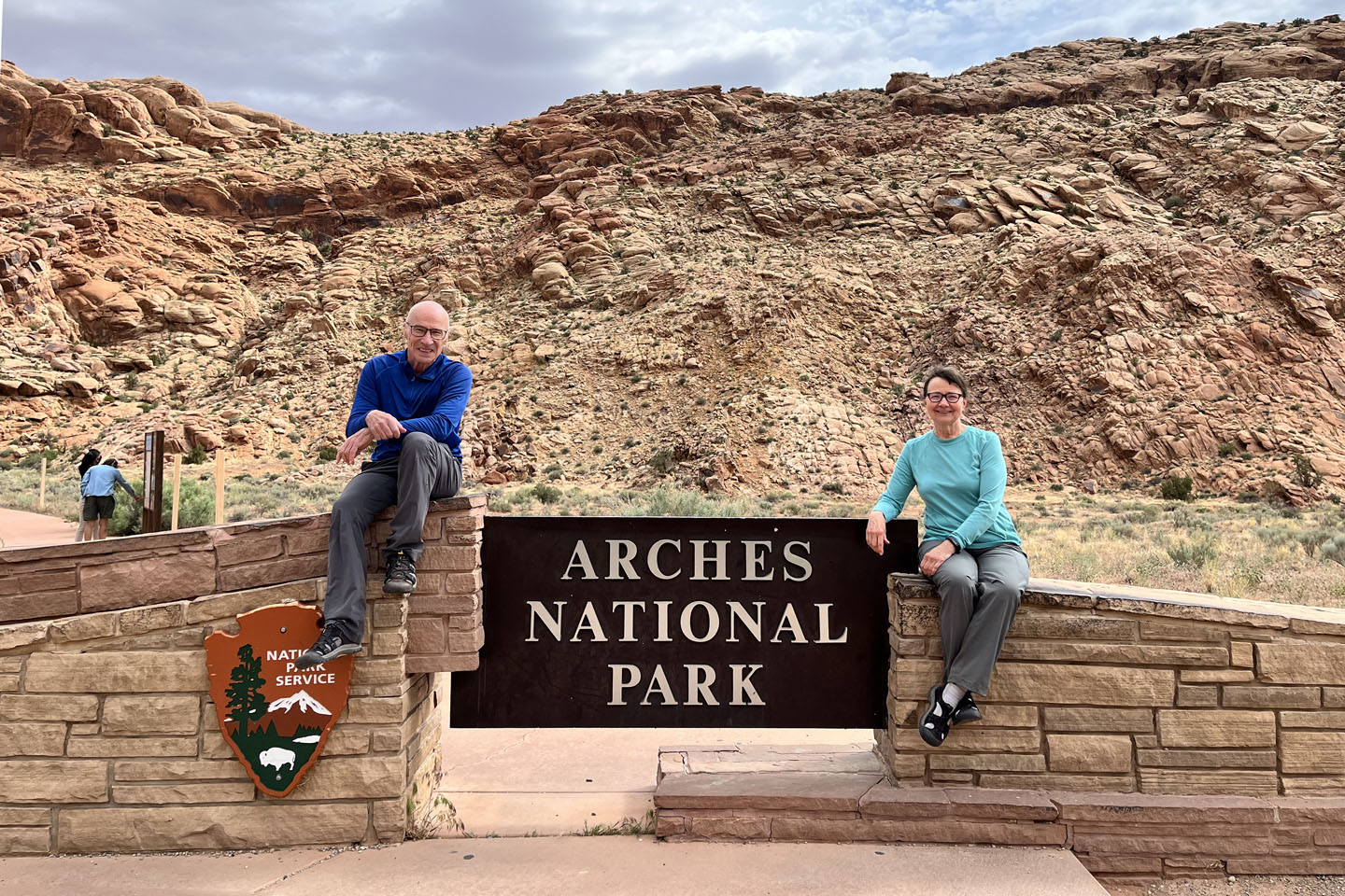 While waiting for our time slot, we – along with most everyone– took photos at the park entrance
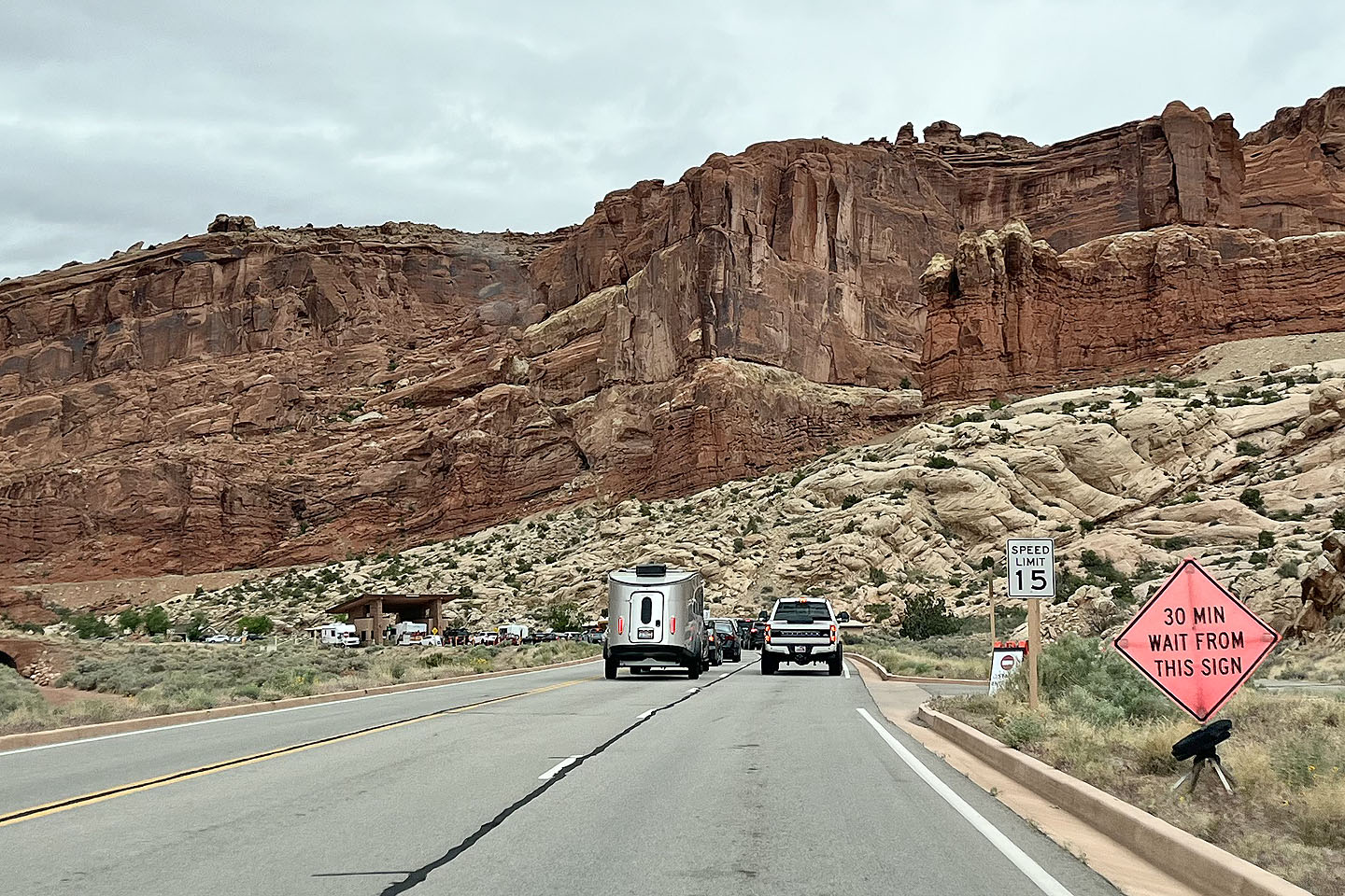 The line-up at the park entrance station
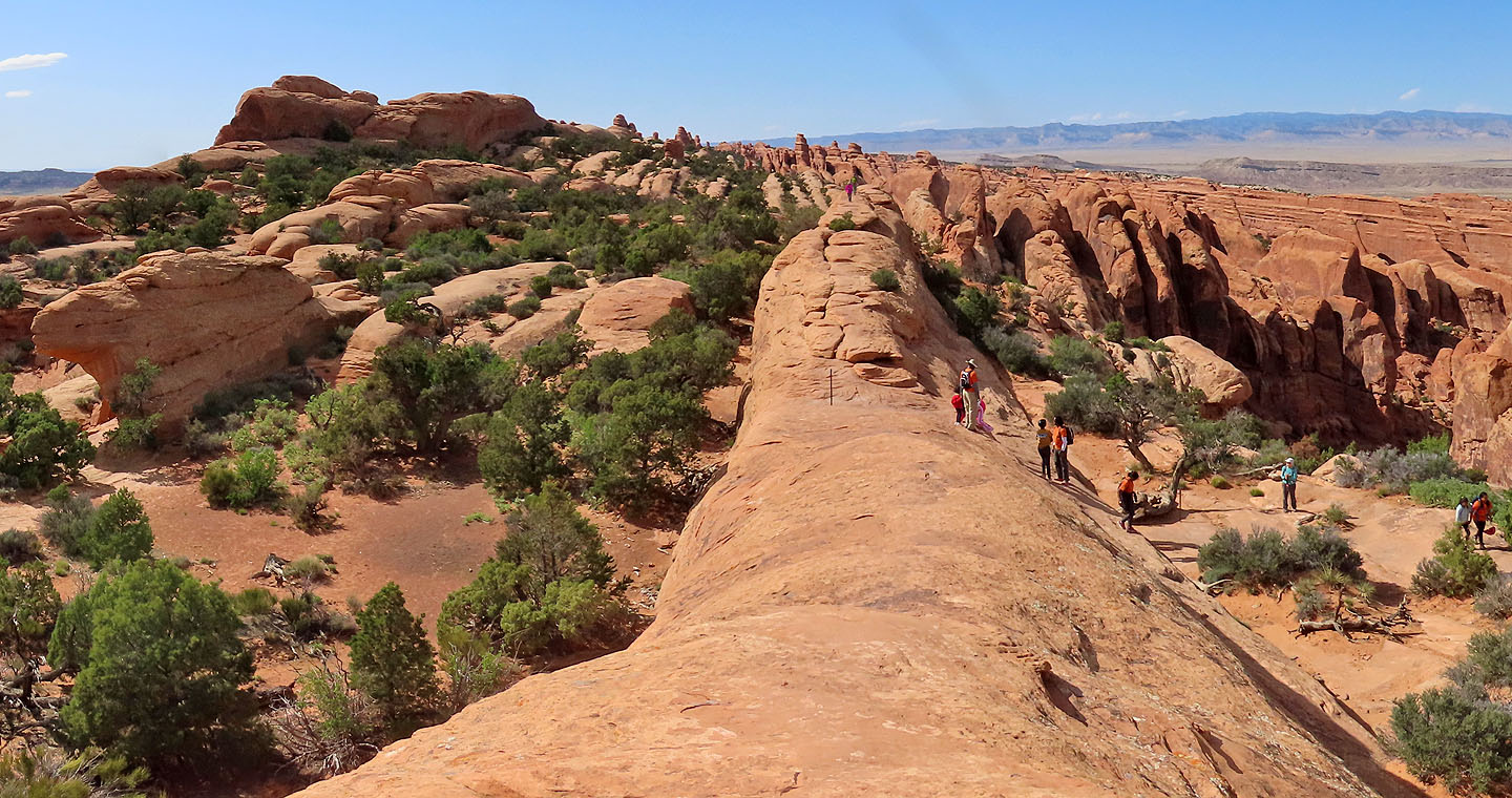
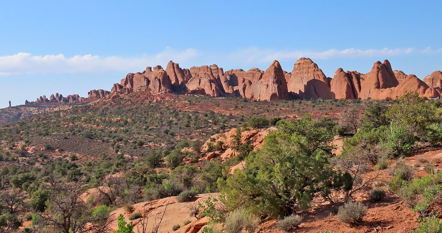 The route runs through the line of rocks beginning right of the photo and ending at Dark Angel, the pillar far left (mouse over for a close-up)
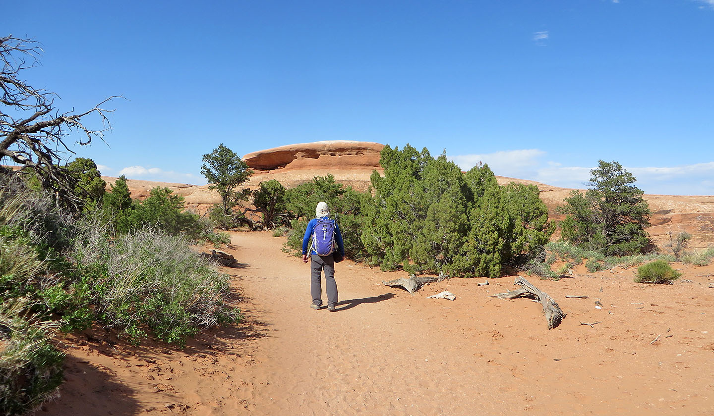
 The trailhead
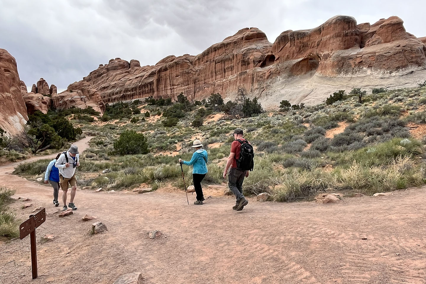 From the main trail, a brief path leads to Tunnel Arch, the dark opening above the man on the right.
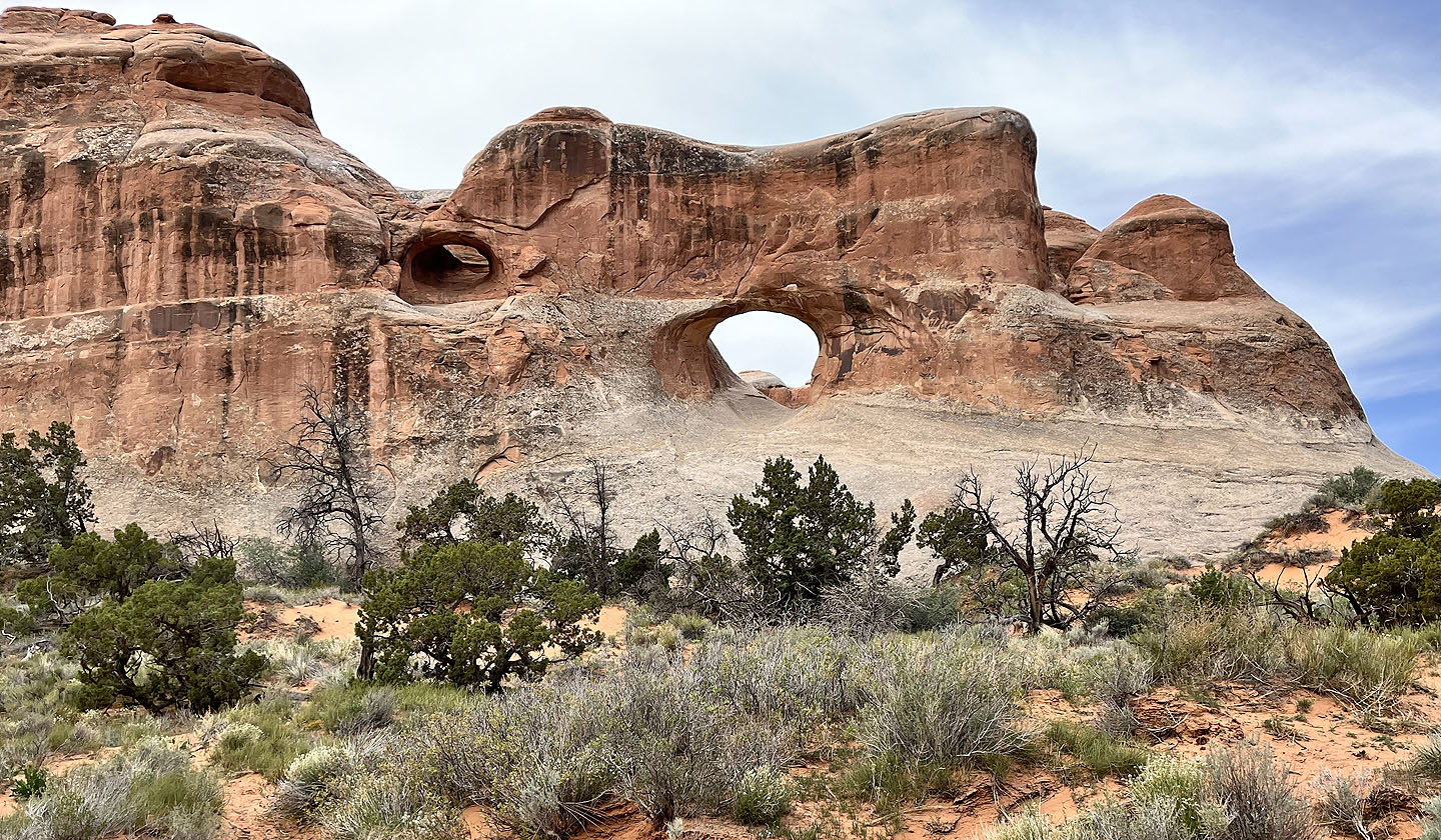 Tunnel Arch
 The path also goes to Pine Tree Arch in the rocks on the left.
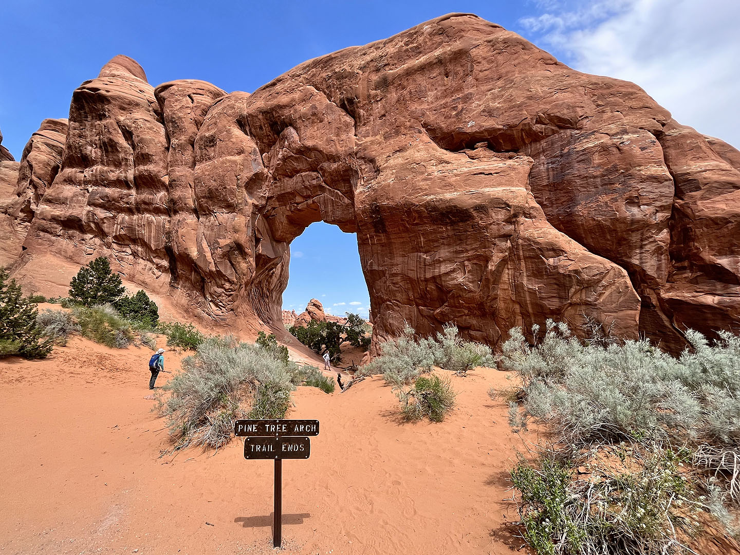 Pine Tree Arch (mouse over to view the backside)
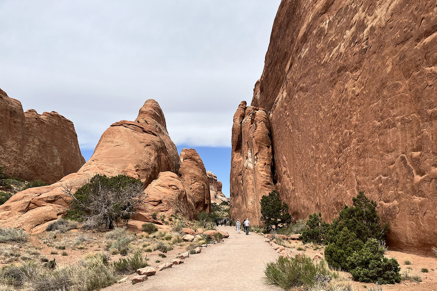
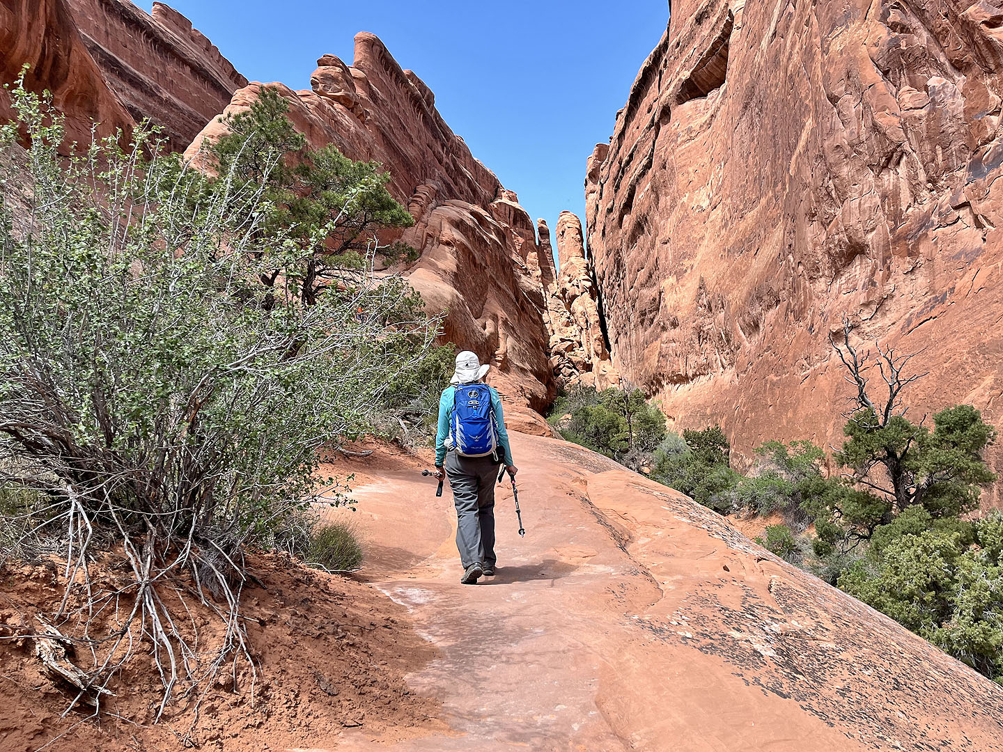
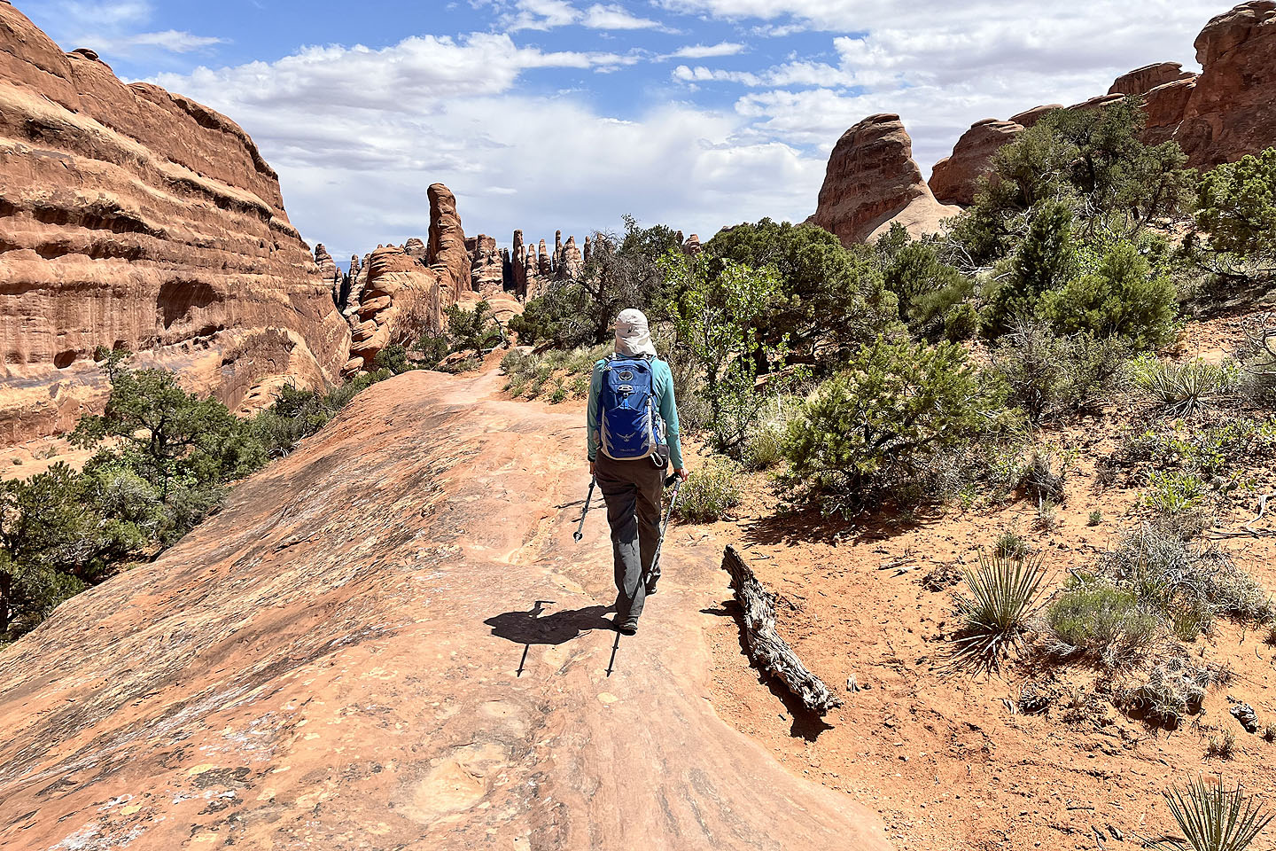
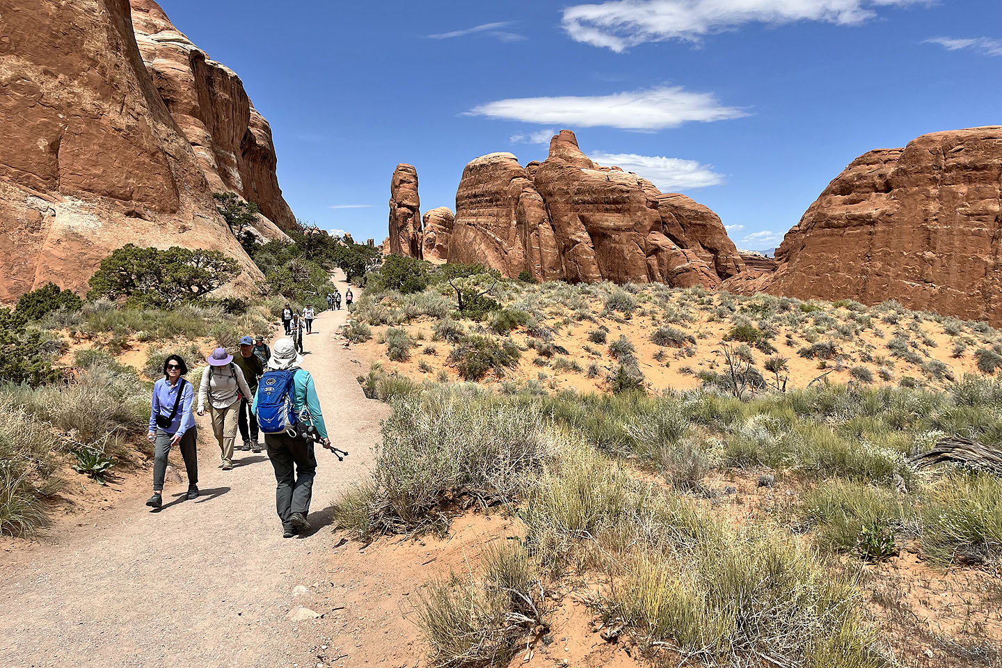 Continuing up Devil's Garden Trail
 The trail forks ahead: left for Devil's Garden and right for the Primitive Trail. Landscape Arch appears above Dinah.
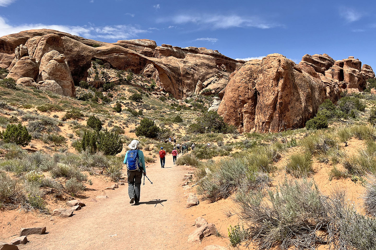
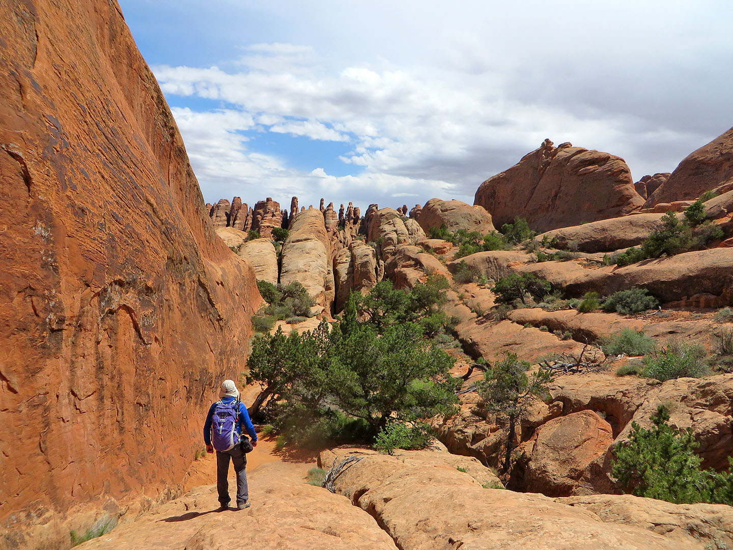
 Going down the Primitive Trail
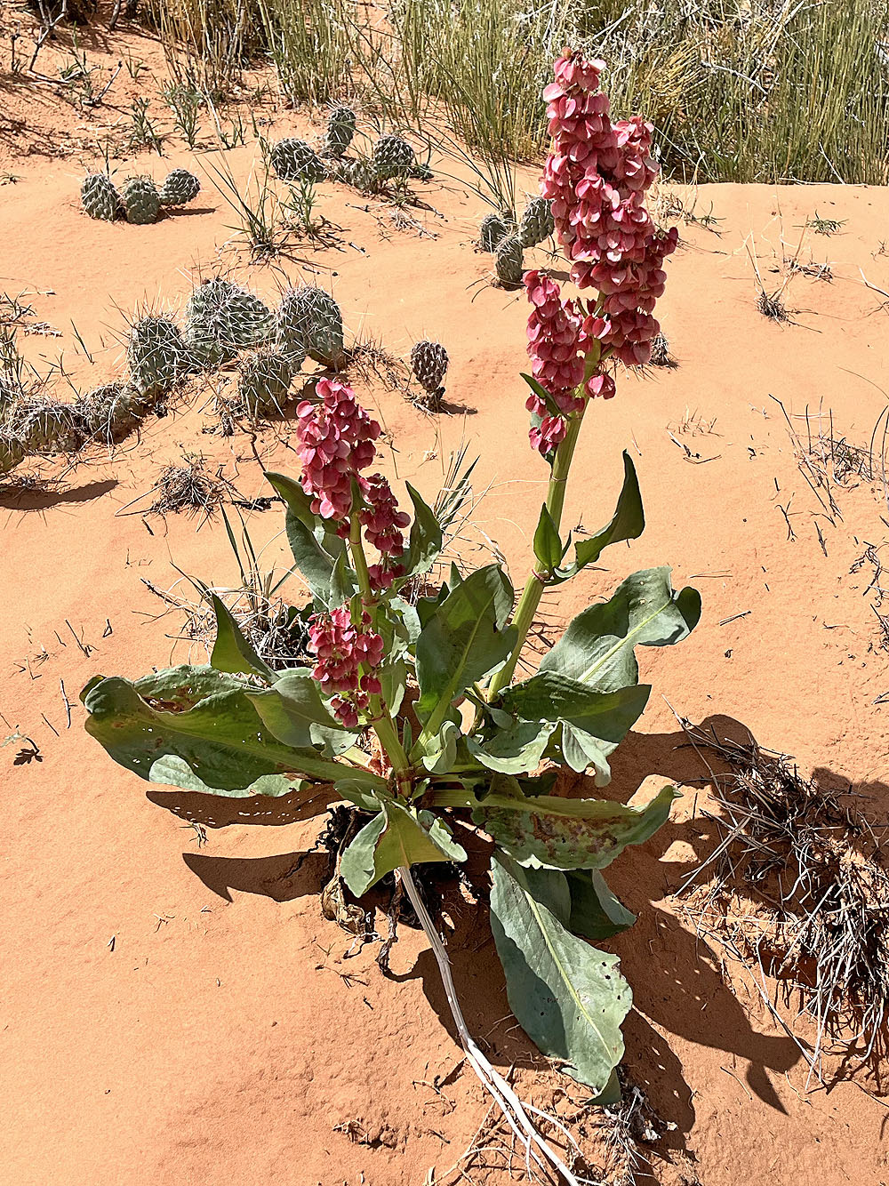
Wild rhubarb
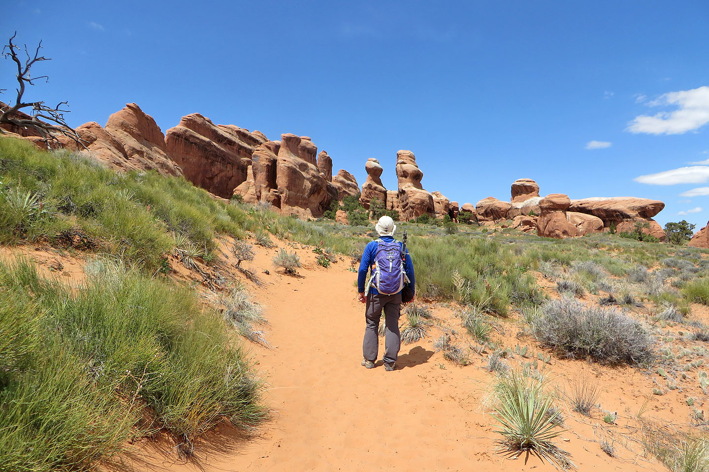
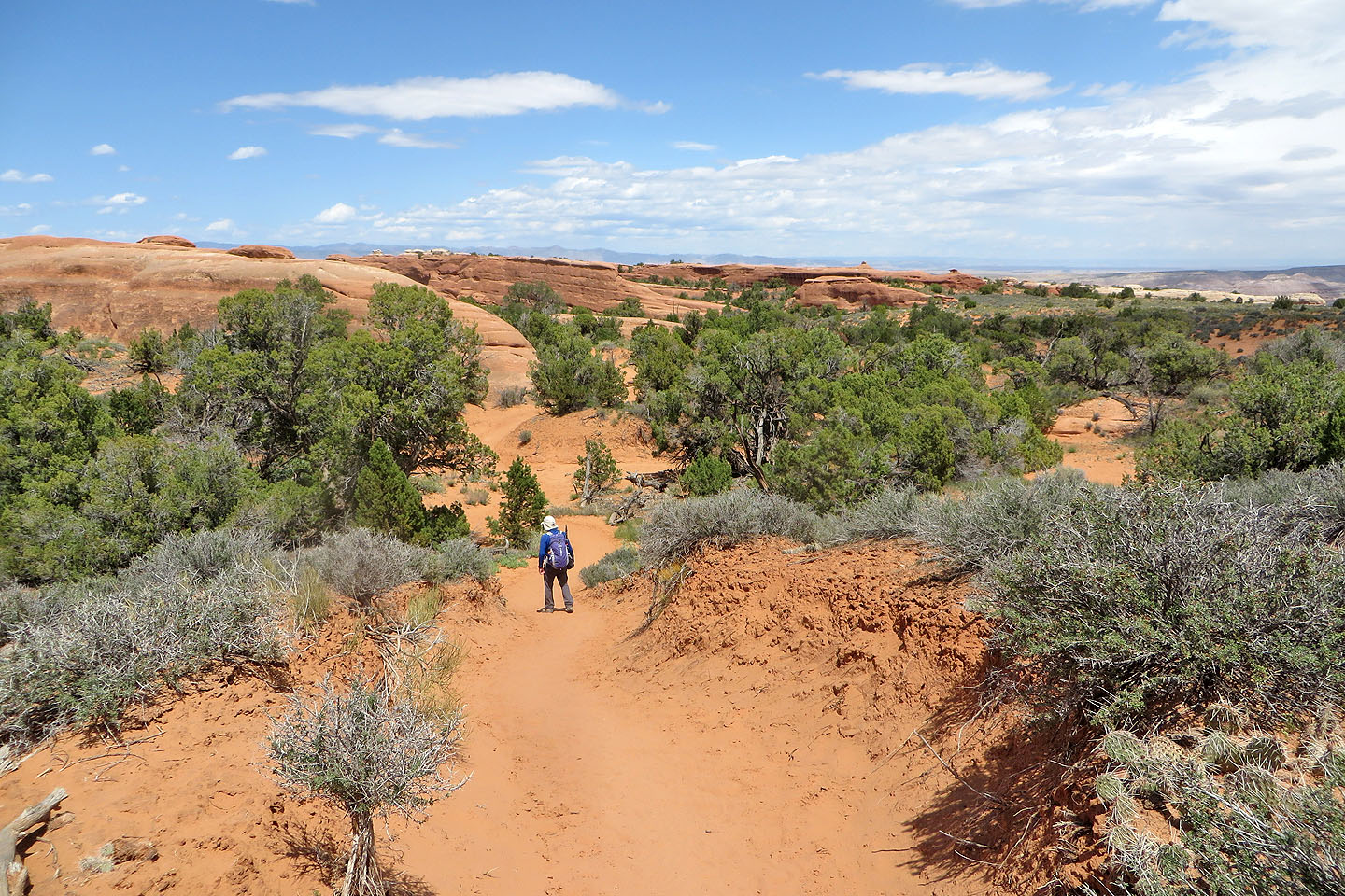
 Looking back
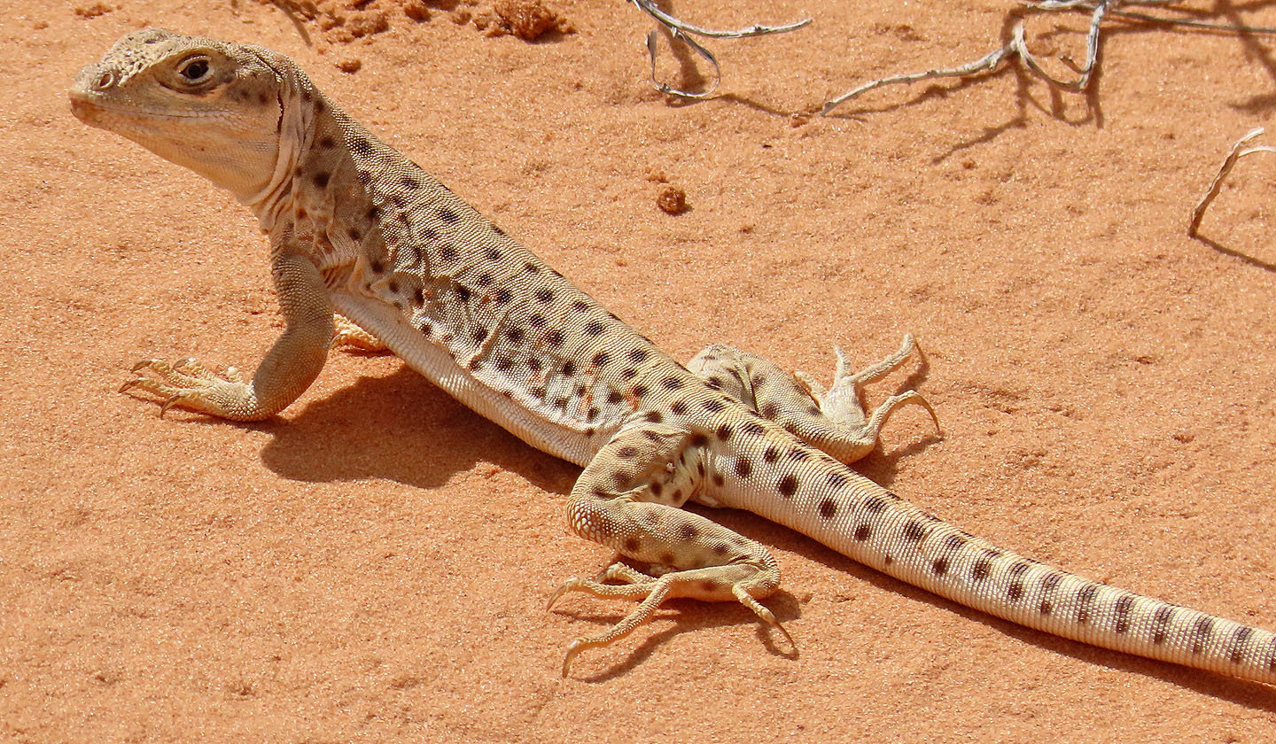 Long nosed leopard lizard (mouse over to see its full length)
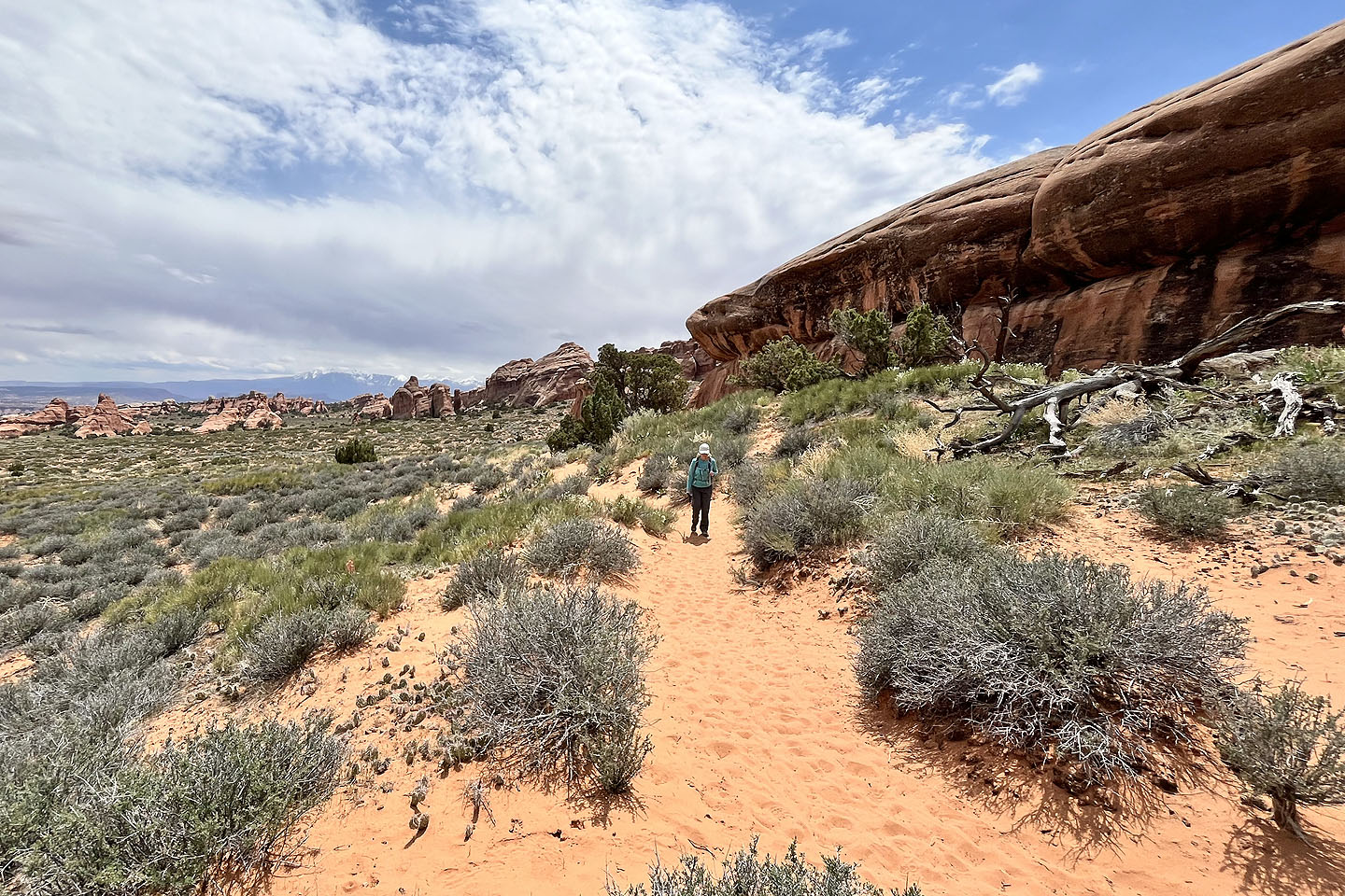
 The trail drops below the trailhead
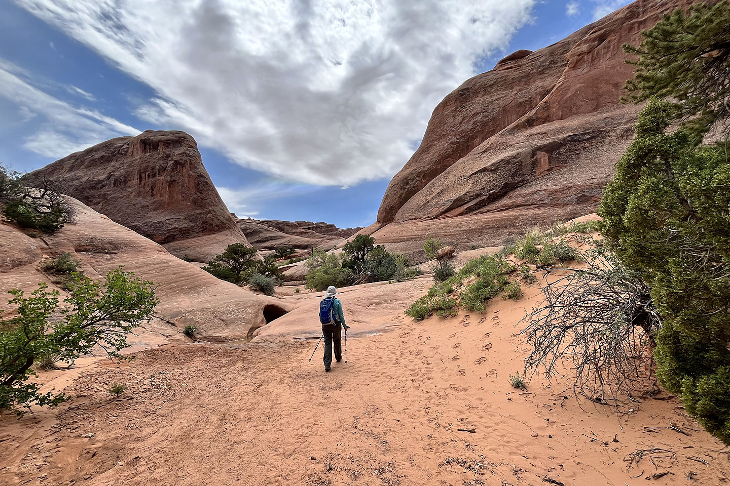
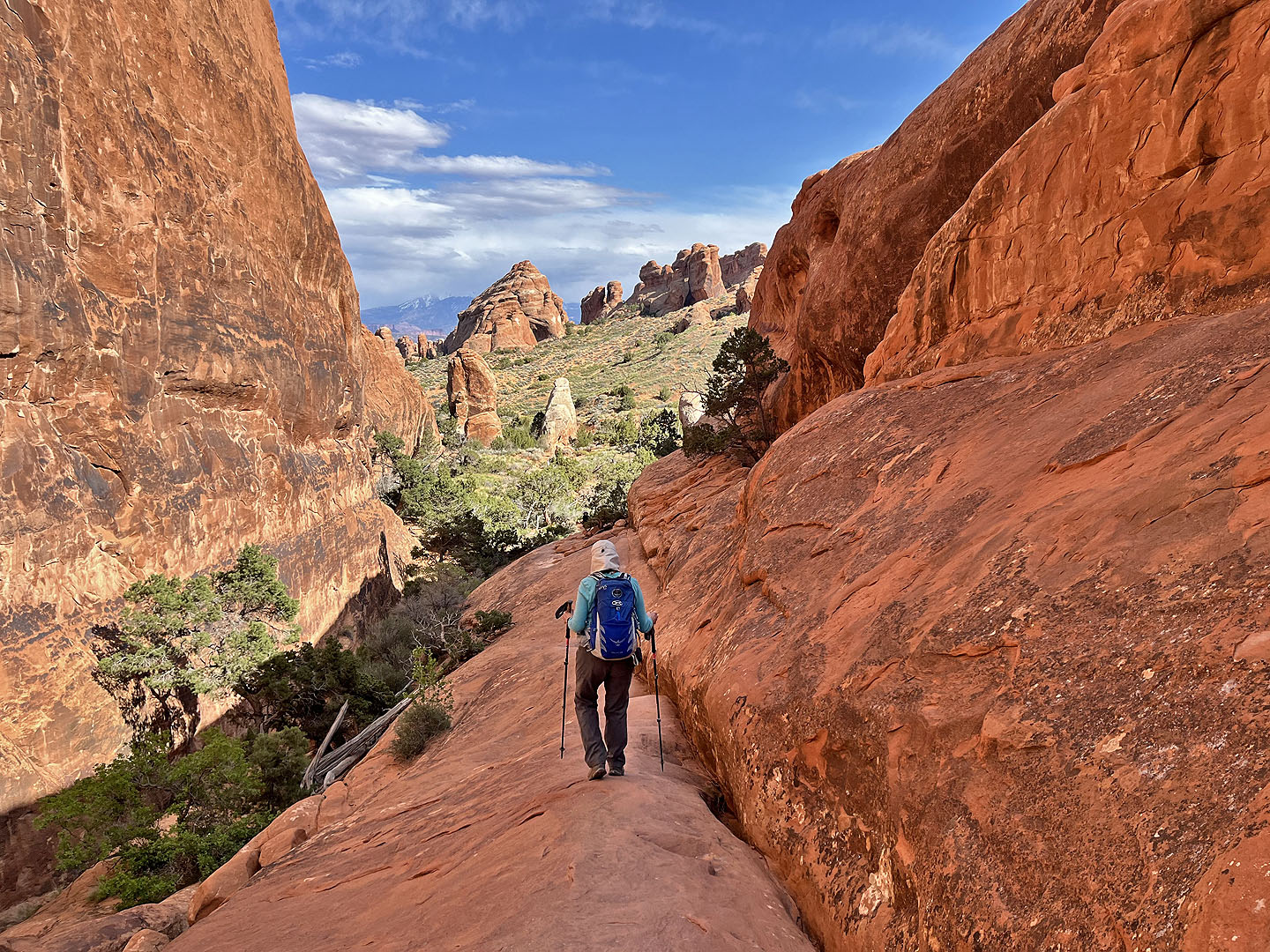
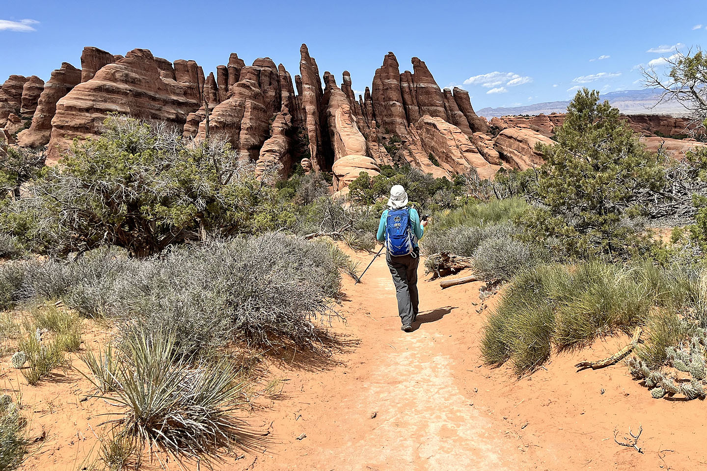 The trail leads to rock fins
 The trail soon becomes difficult to follow
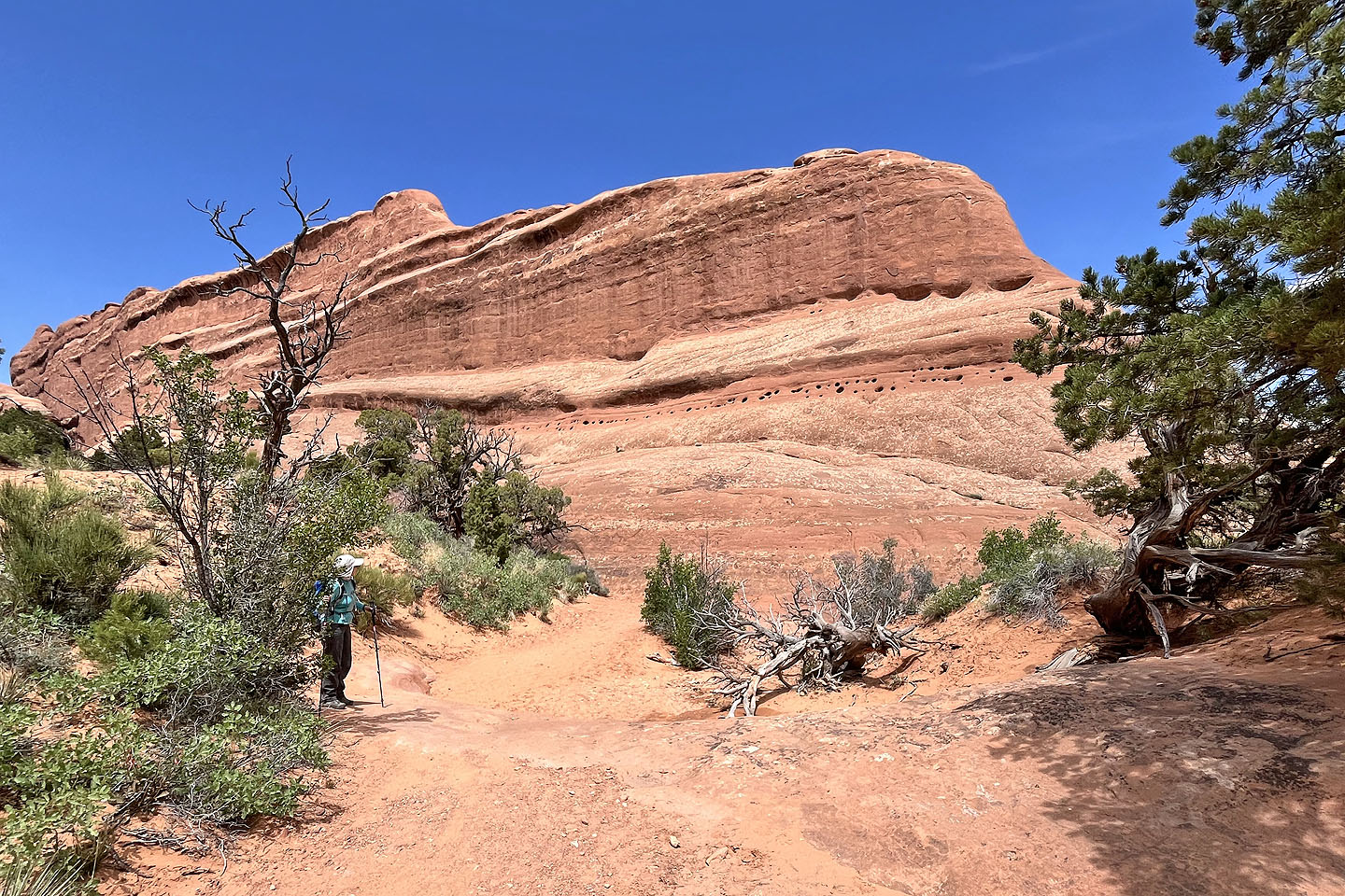 Looking back at a massive rock
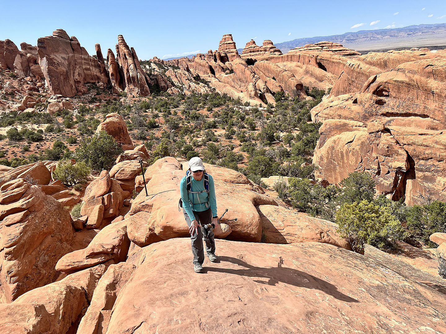
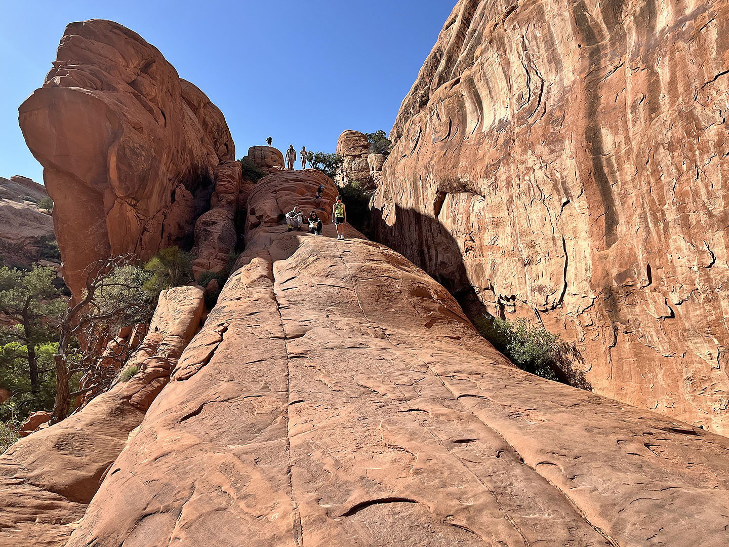
 The most difficult part of the trip was ahead: the smooth rock immediately above Dinah
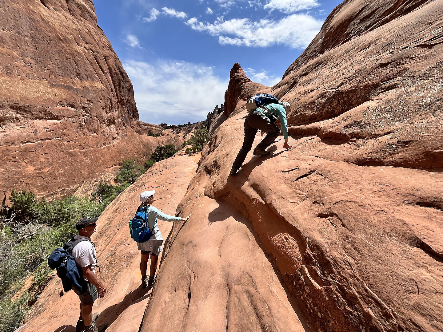 Dinah scrambles up the rock
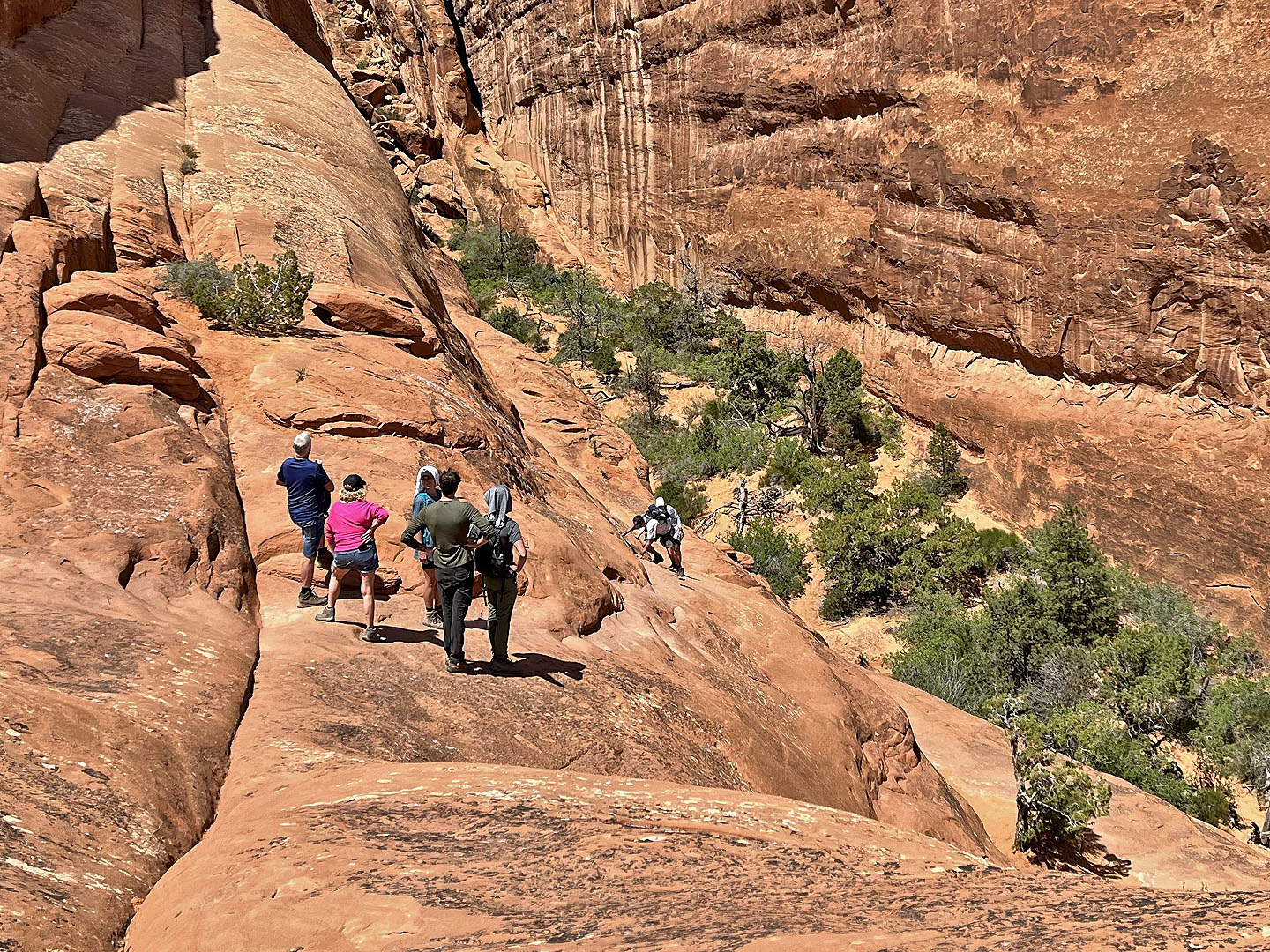 Looking back as others carefully followed. The slick, slanted rock lacks handholds and footholds so hikers lean in to the rock.
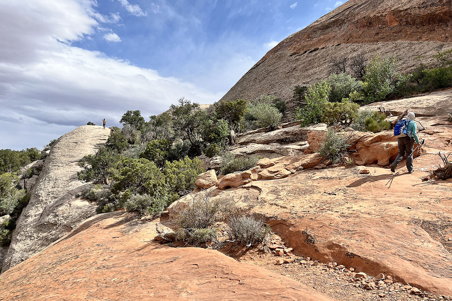
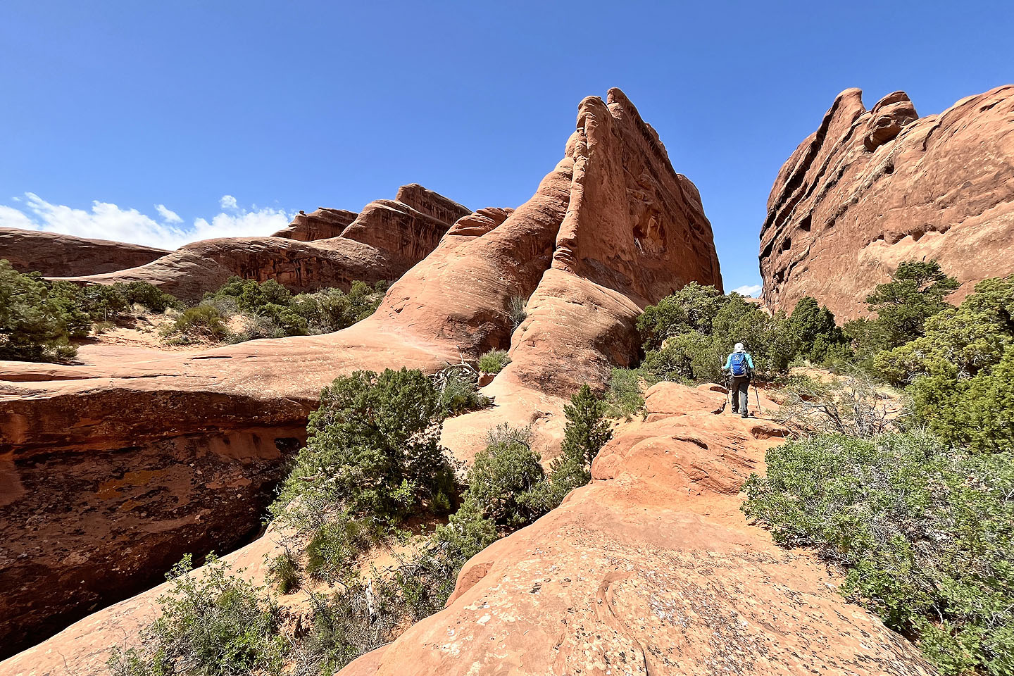 The trail then crosses the two rock fins left of Dinah
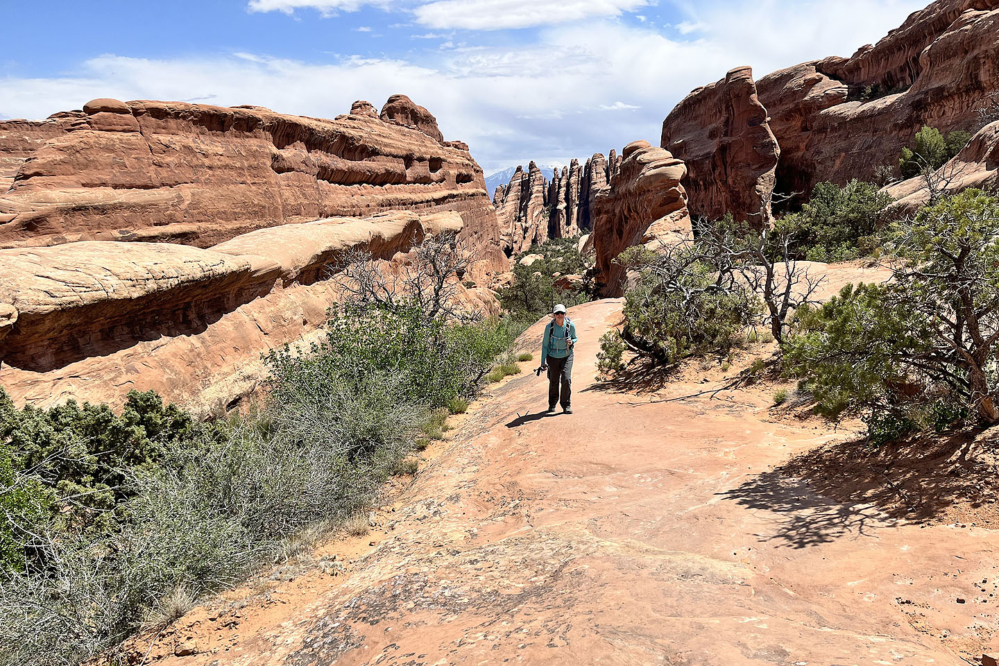 Looking back as we walked along another fin
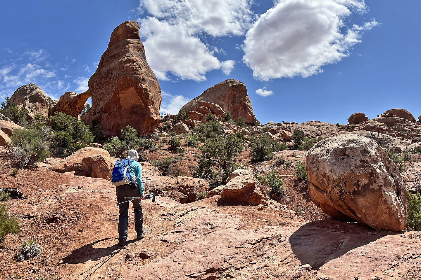
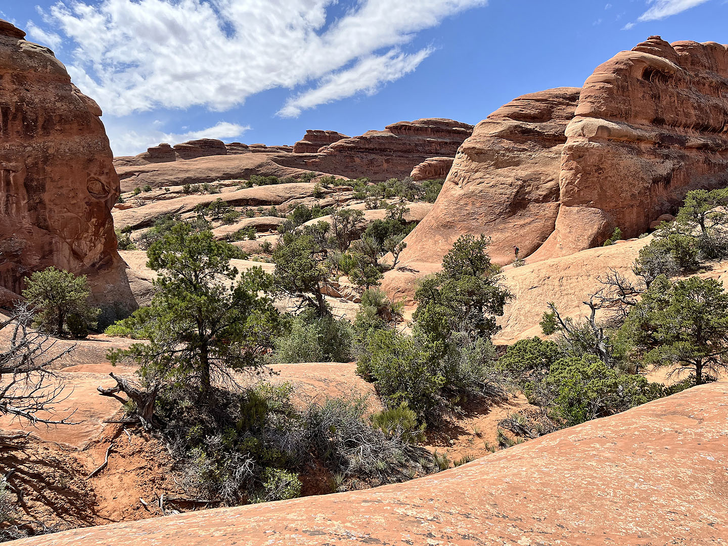 The Primitive Trail runs around the rocks on the right. Note the tiny figure (mouse over). The trail to Private Arch breaks left.
 The path to Private Arch runs almost straight ahead
 The arch is around the next corner on the left
 A close look at the arch
 I climbed a rock fin above the arch to get an expansive view
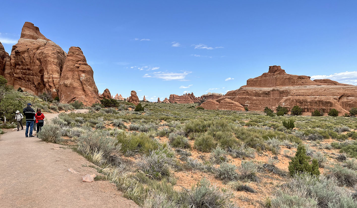
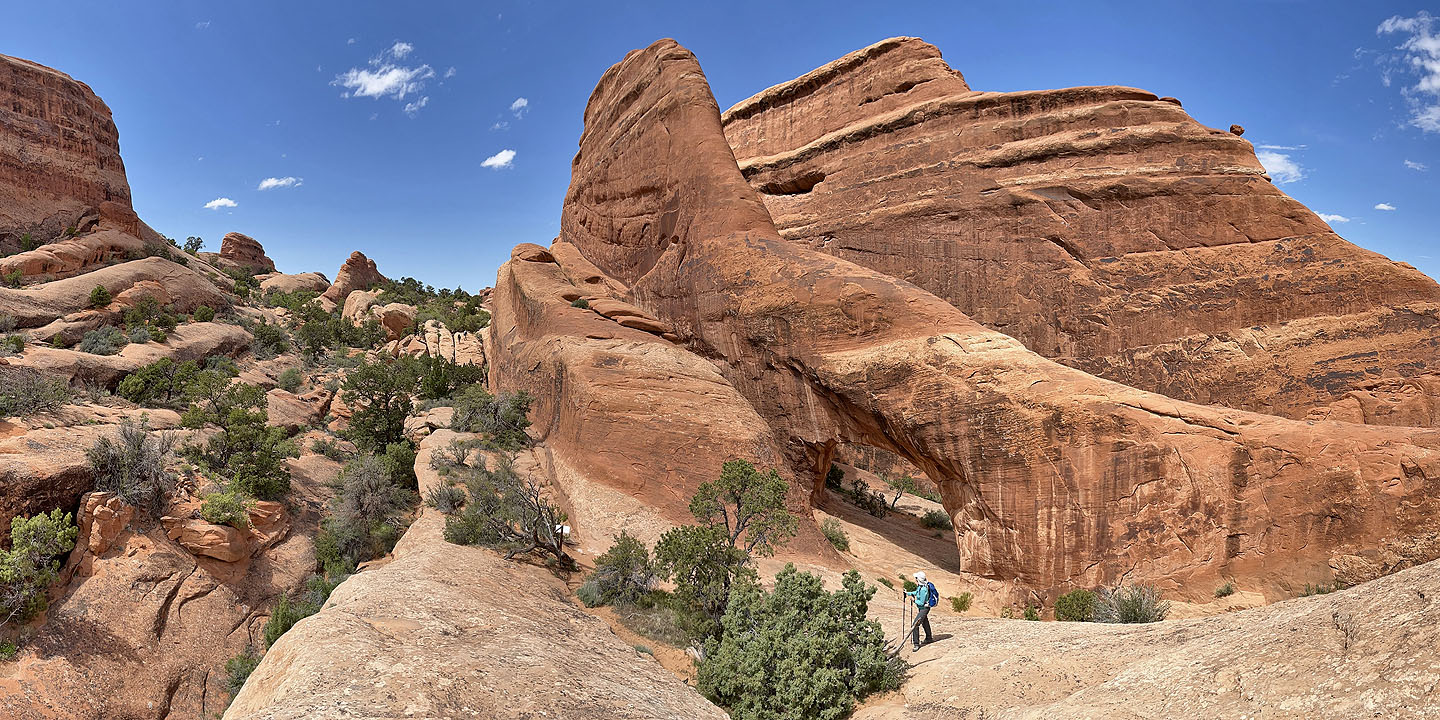
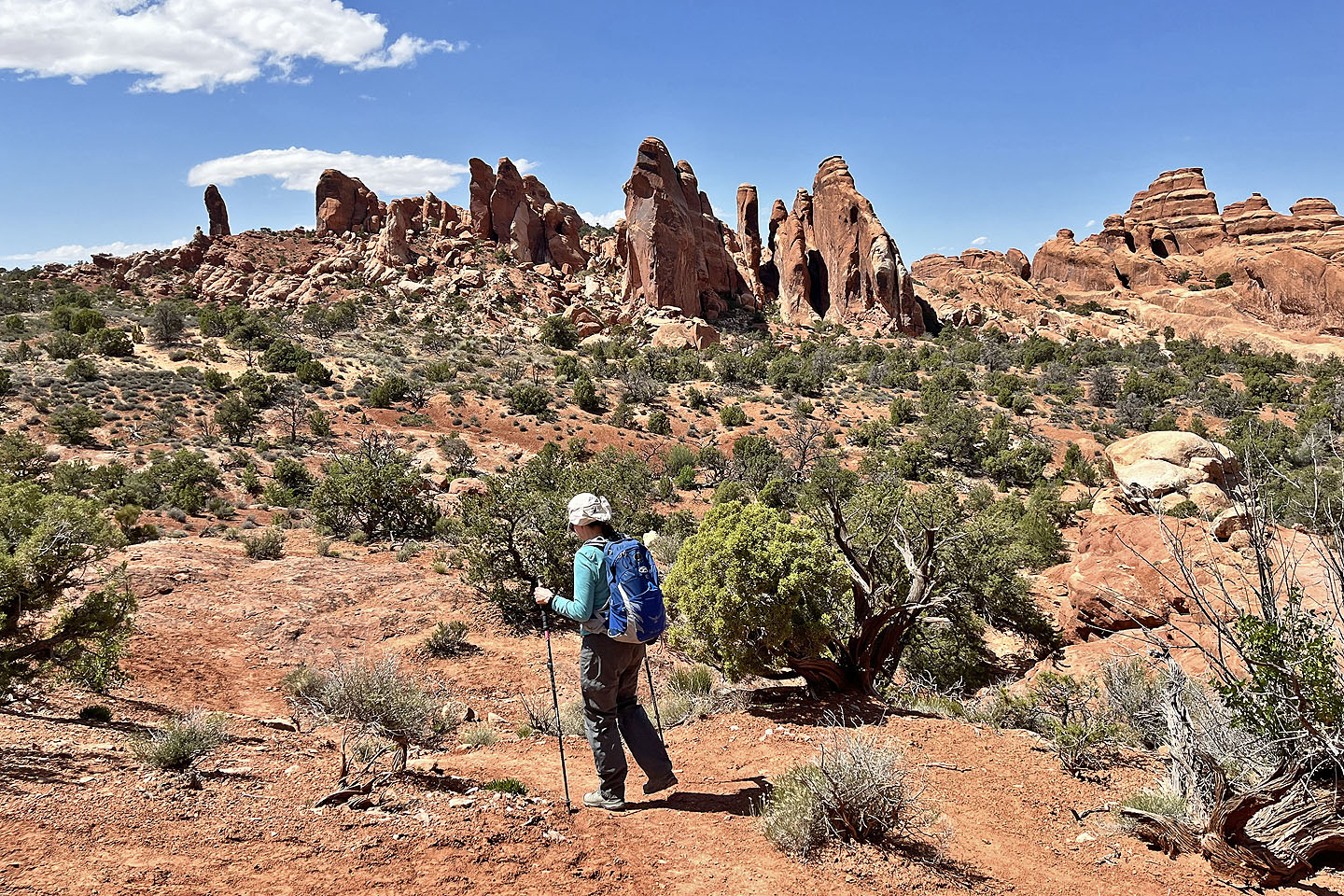
 Back on the Primitive Trail heading to where it meets Devil's Garden Trail and Dark Angel Trail. Double O Arch is seen left.
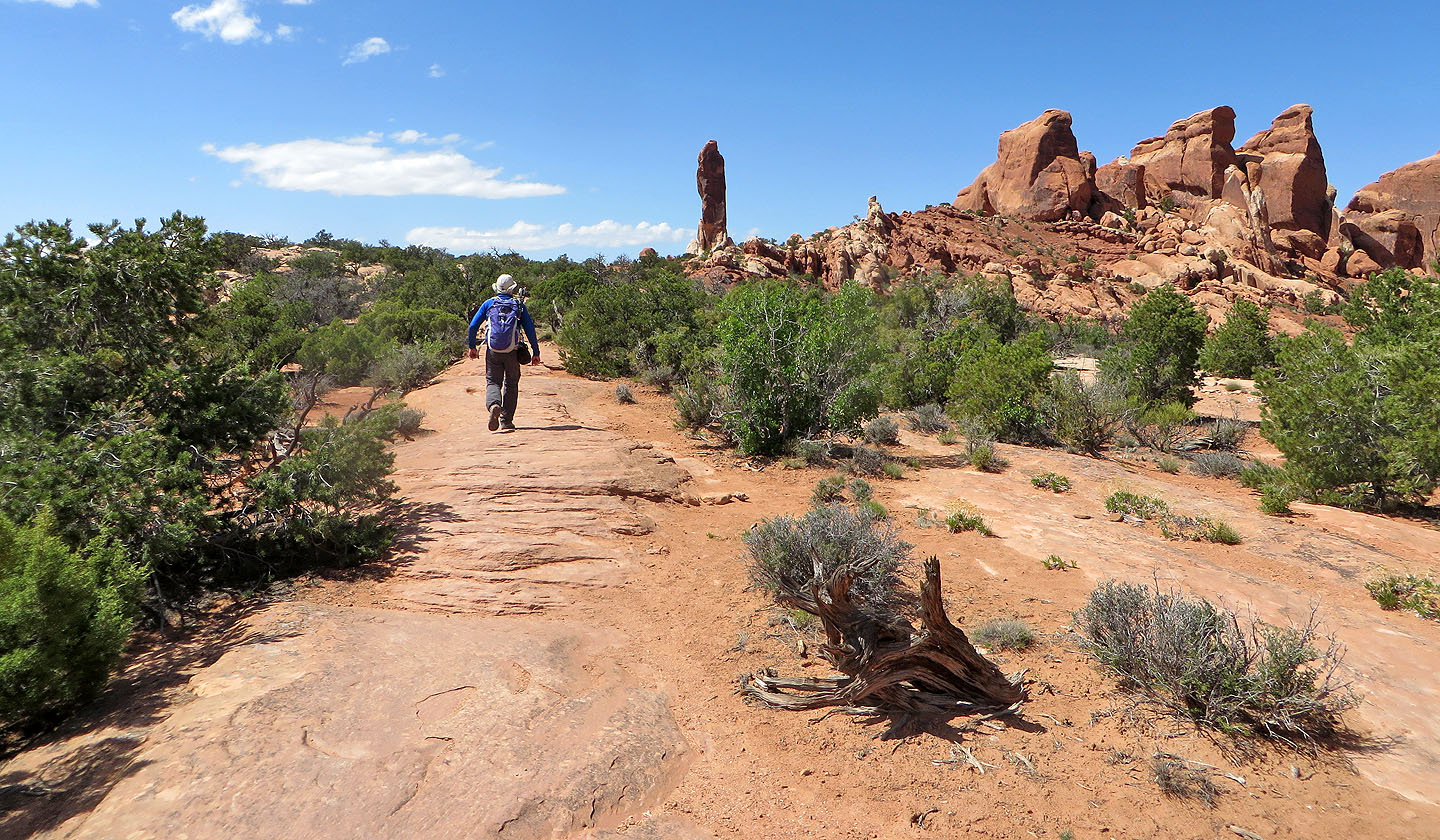
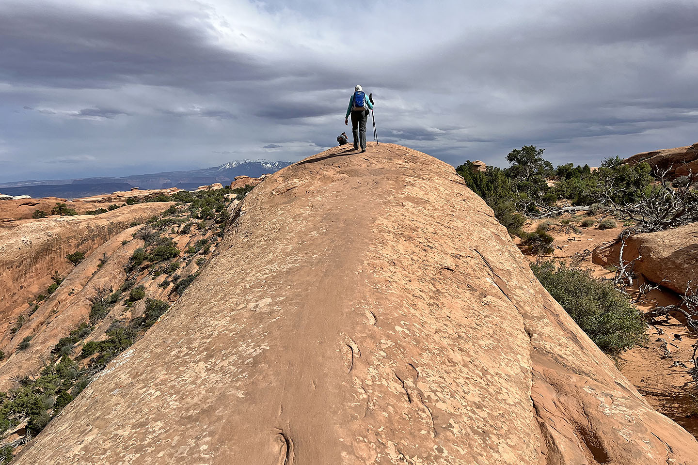
 Heading to Dark Angel on the left
 The path eventually goes straight to the pillar
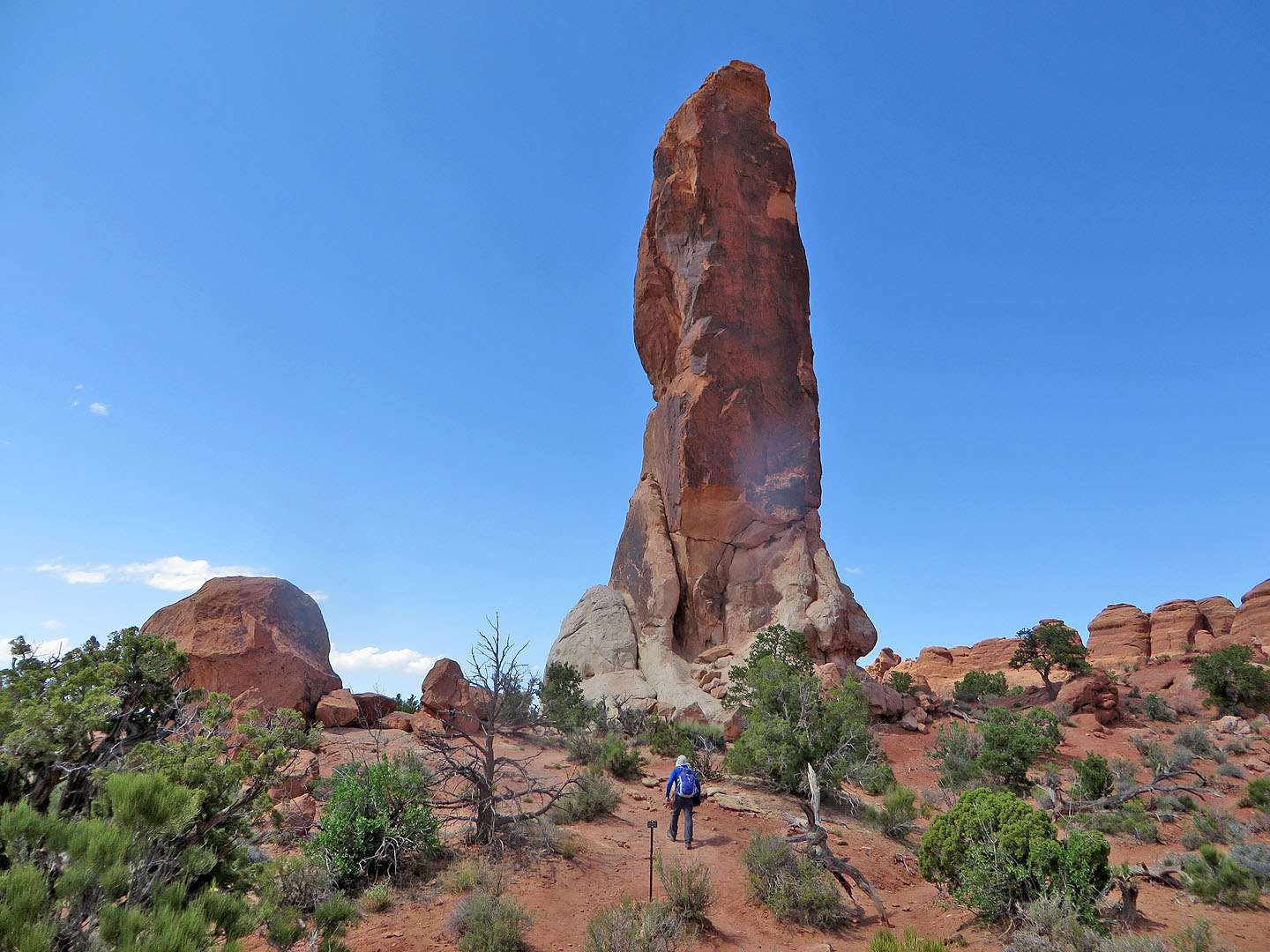 Arriving at the pillar
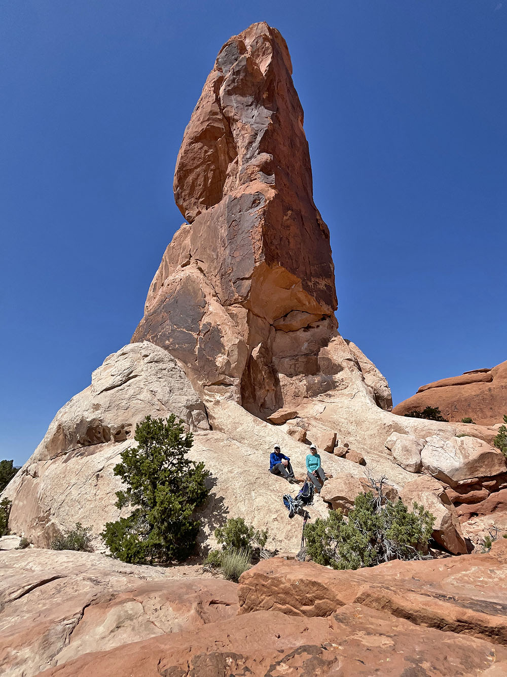
We took a break at Dark Angel
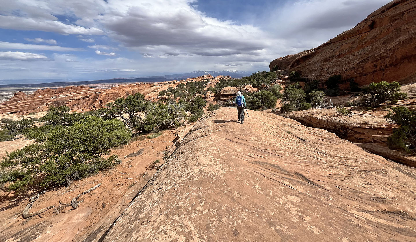
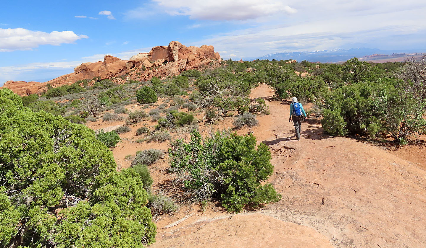 Heading back. Above Dinah are the La Sal Mountains (mouse over for a close-up)
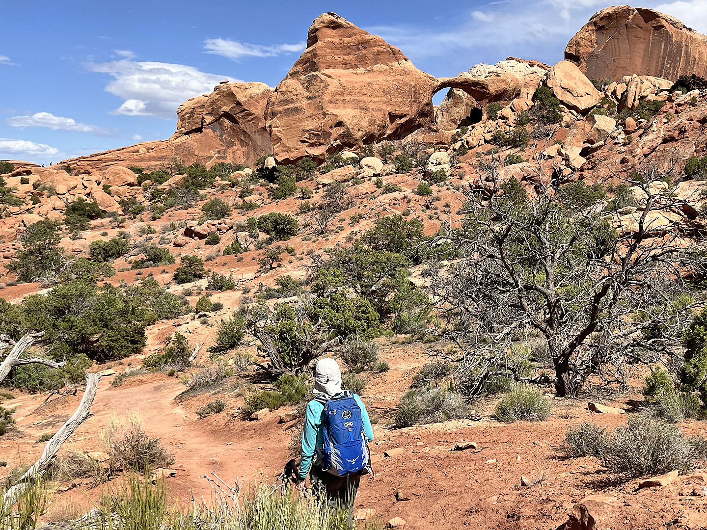 We visited Double O Arch (above Dinah) before going to Devil's Garden Trail. Hikers can be see going up the trail on the left (mouse over).
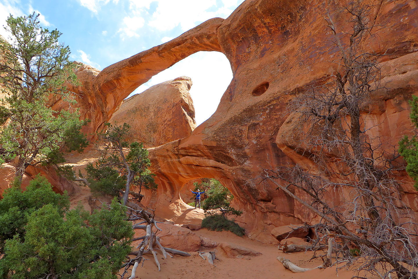 Double O Arch (mouse over to see the backside)
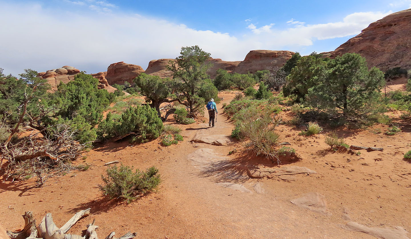
 Starting up Devil's Garden Trail
 Continuing up the trail
 The route follows a low rock fin
 The trail switches to another, higher rock fin
 Looking back along the fin
 Continuing down the trail to the last arches
 A spur trail leads to Partition Arch and Navajo Arch
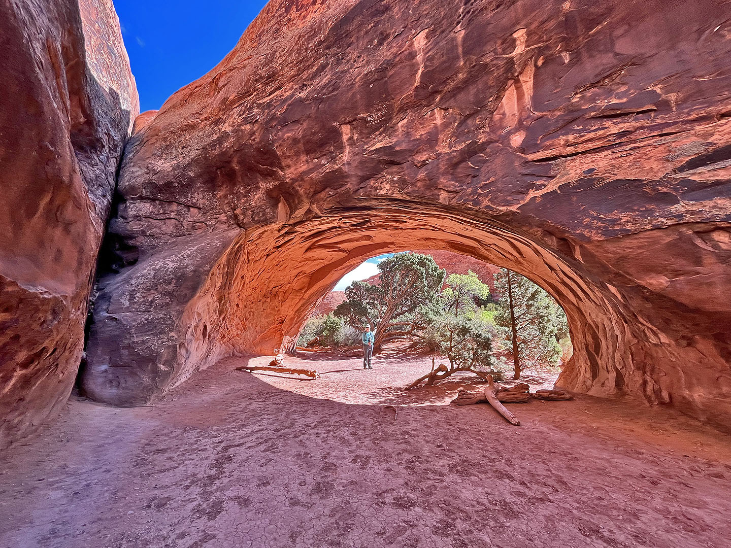
 The front of Navajo Arch
 The backside. Mouse over for the view inside.
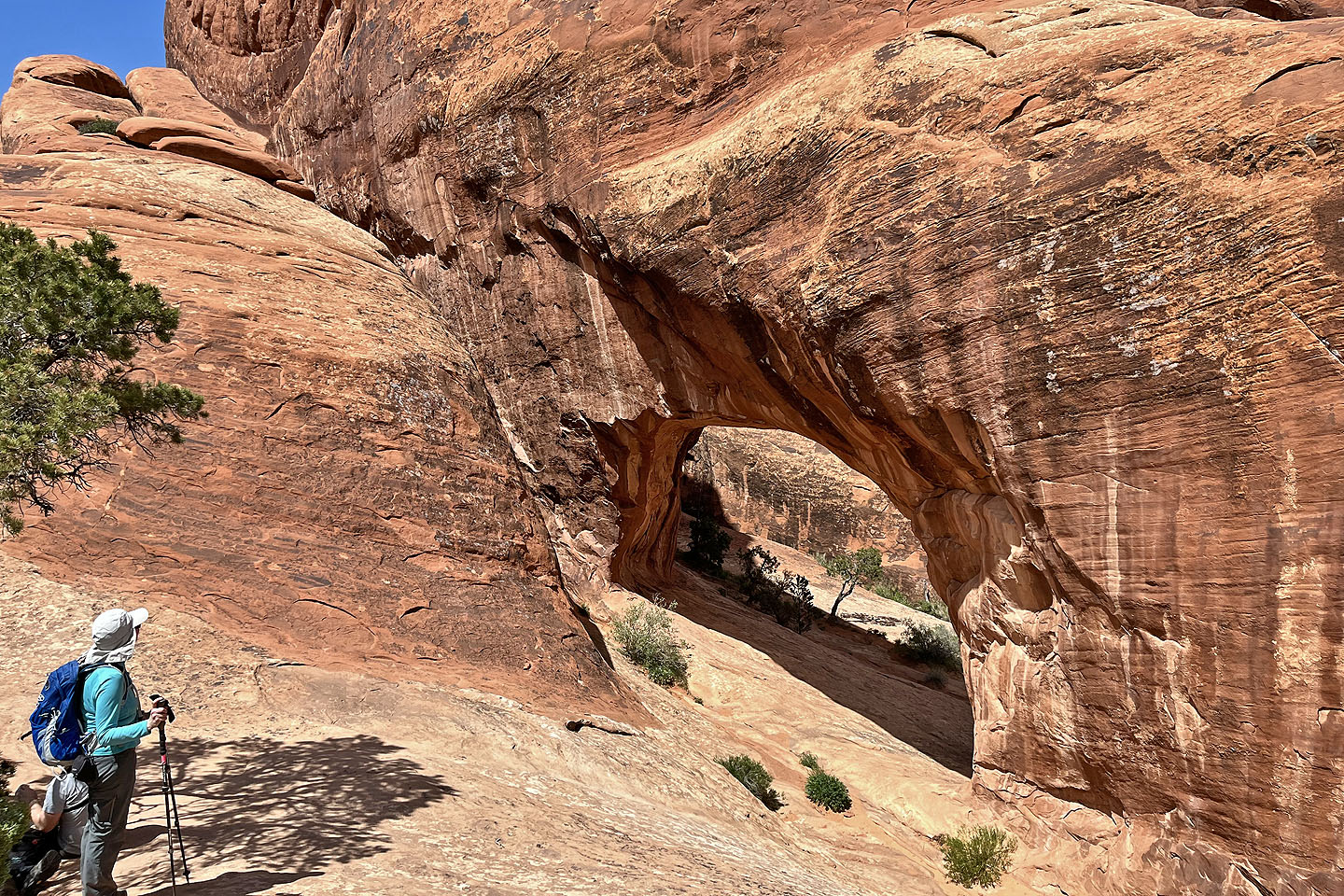
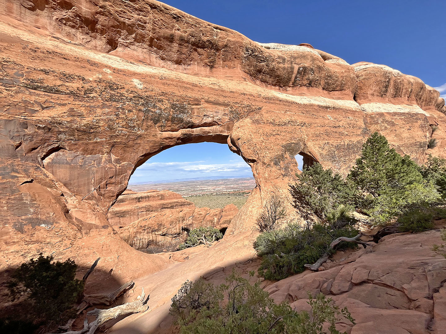 Partition Arch (mouse over to see through it)
 Back on Devil's Garden Trail
 Continuing down the trail
 Looking back. It's a bit steep, and a girl sat down saying she was uncomfortable with continuing. She said she was turning back, but the guy with her was going on.
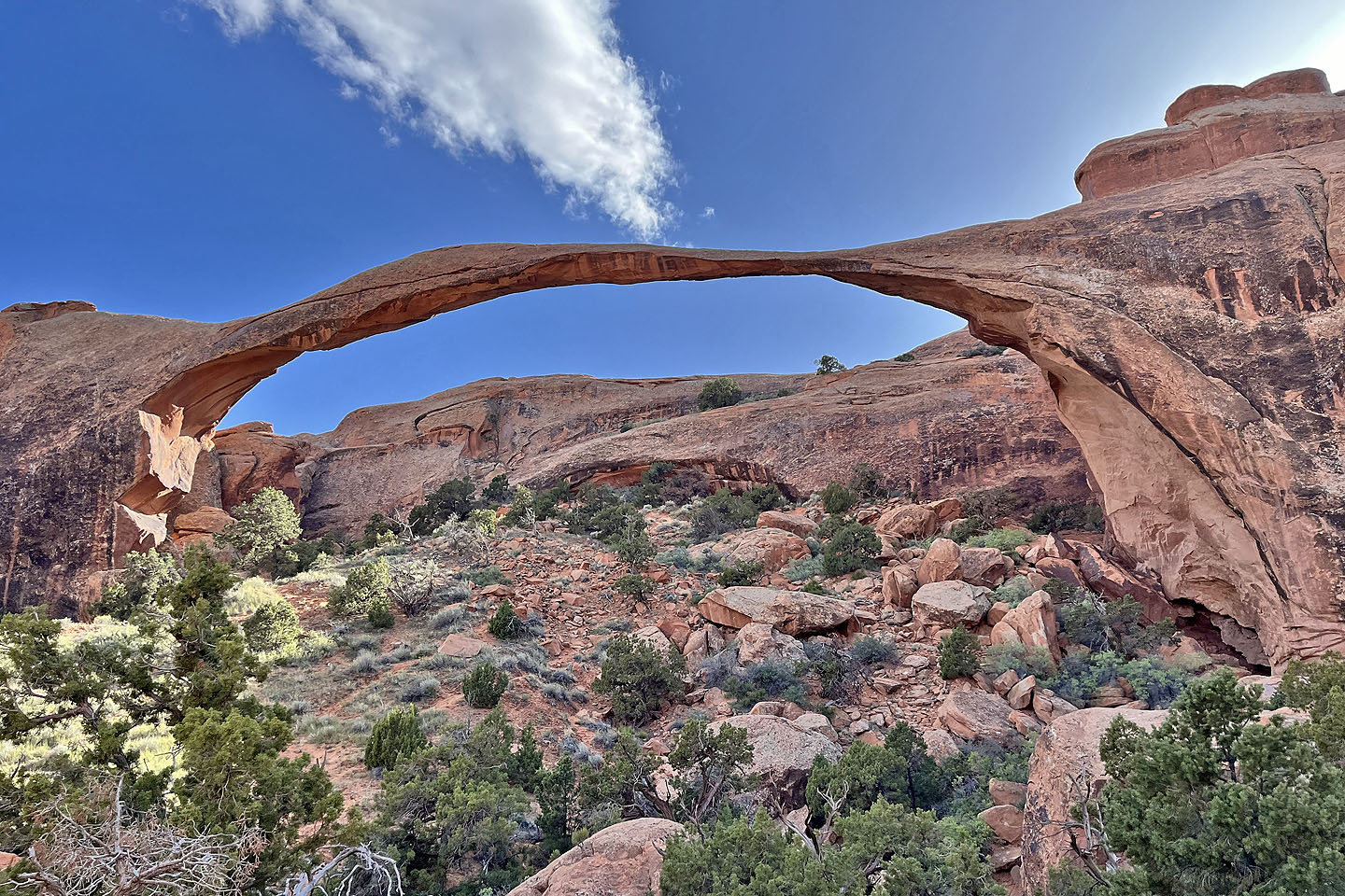
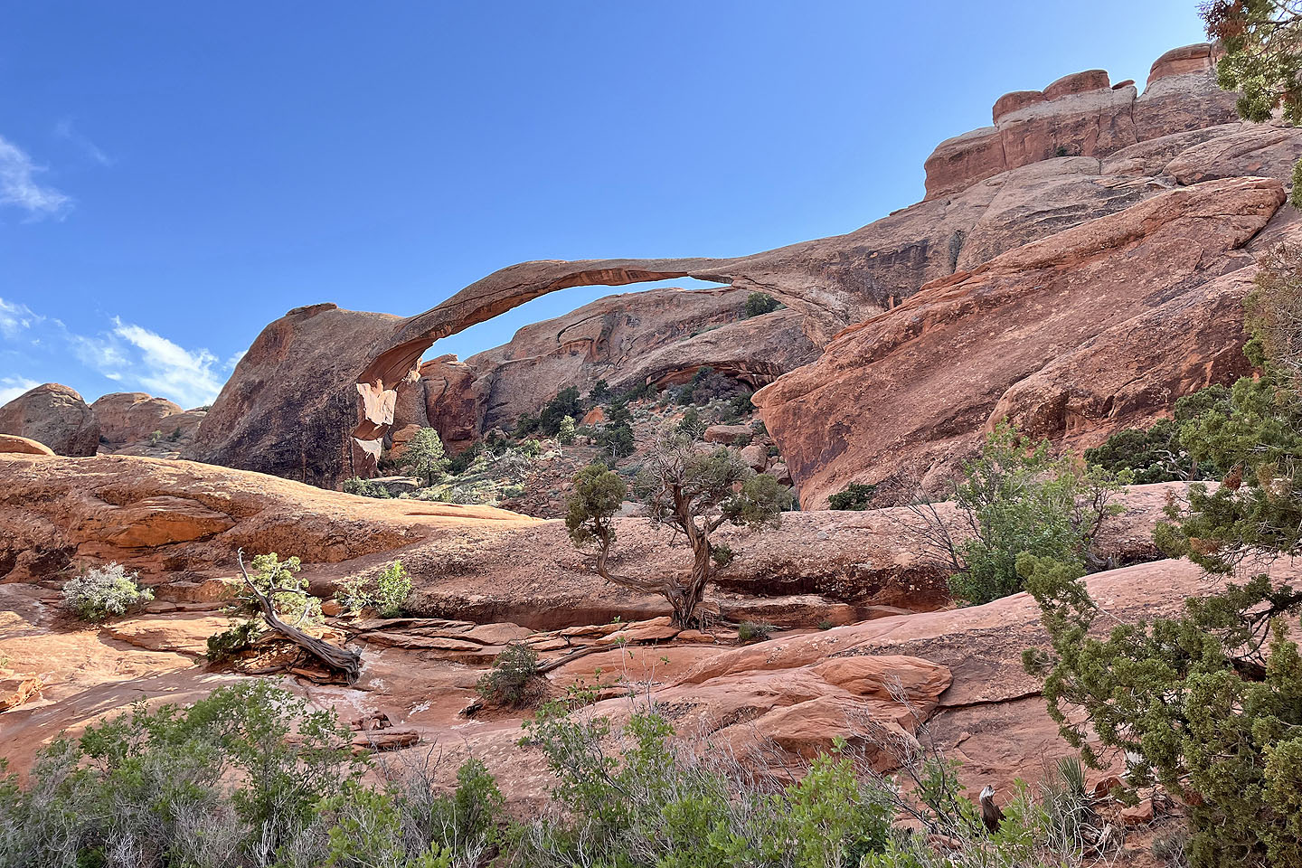 Landscape Arch seen from Devils Garden Trail. It's the longest arch in North America.
 A short trail allows visitors to get closer
 Klondike Bluffs, Mollie Hogans (8.2 mi, 5476 ft, 440 ft)