bobspirko.ca | Home | Canada Trips | US Trips | Hiking | Snowshoeing | MAP | About
Diamond Cinder Cone
Snow Canyon, Utah
April 24, 2023
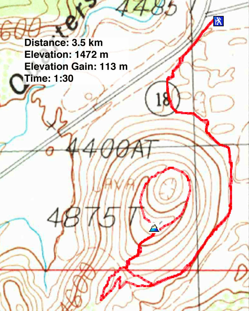
Distance: 3.5 km (2.2 mi)
Cumulative Elevation Gain: 149 m (489 ft)
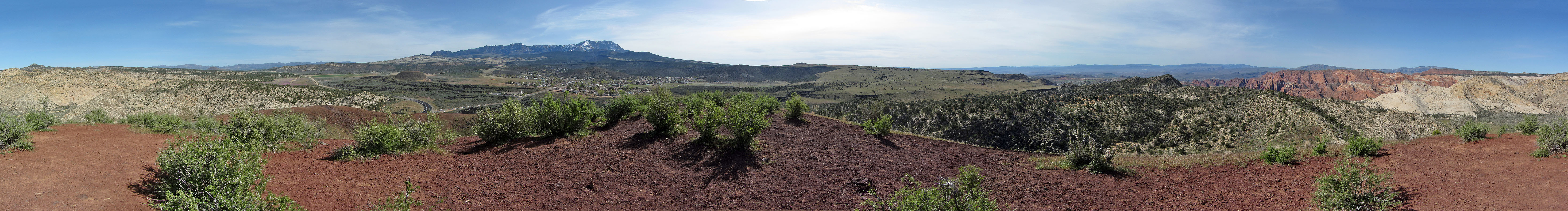
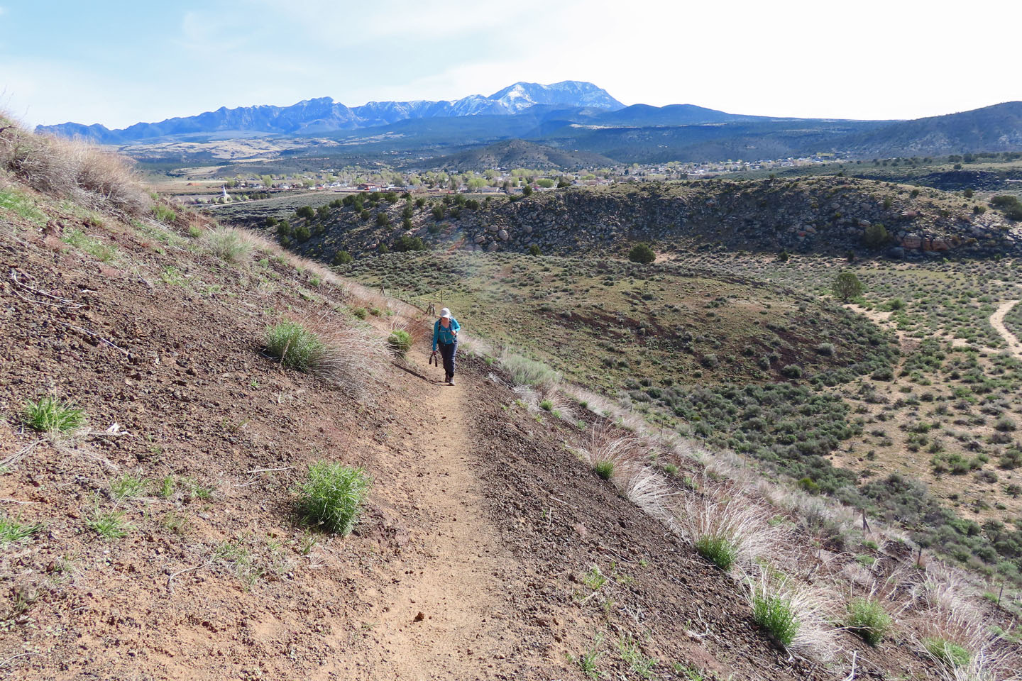
For a morning hike, Dinah and I settled on Diamond Cinder Cone, an ancient volcano near – and with a view of – Snow Canyon, but outside the state park. Because Highway SR-18 was being paved, we couldn't stop at the trailhead. We parked at a pullout 200 m away.
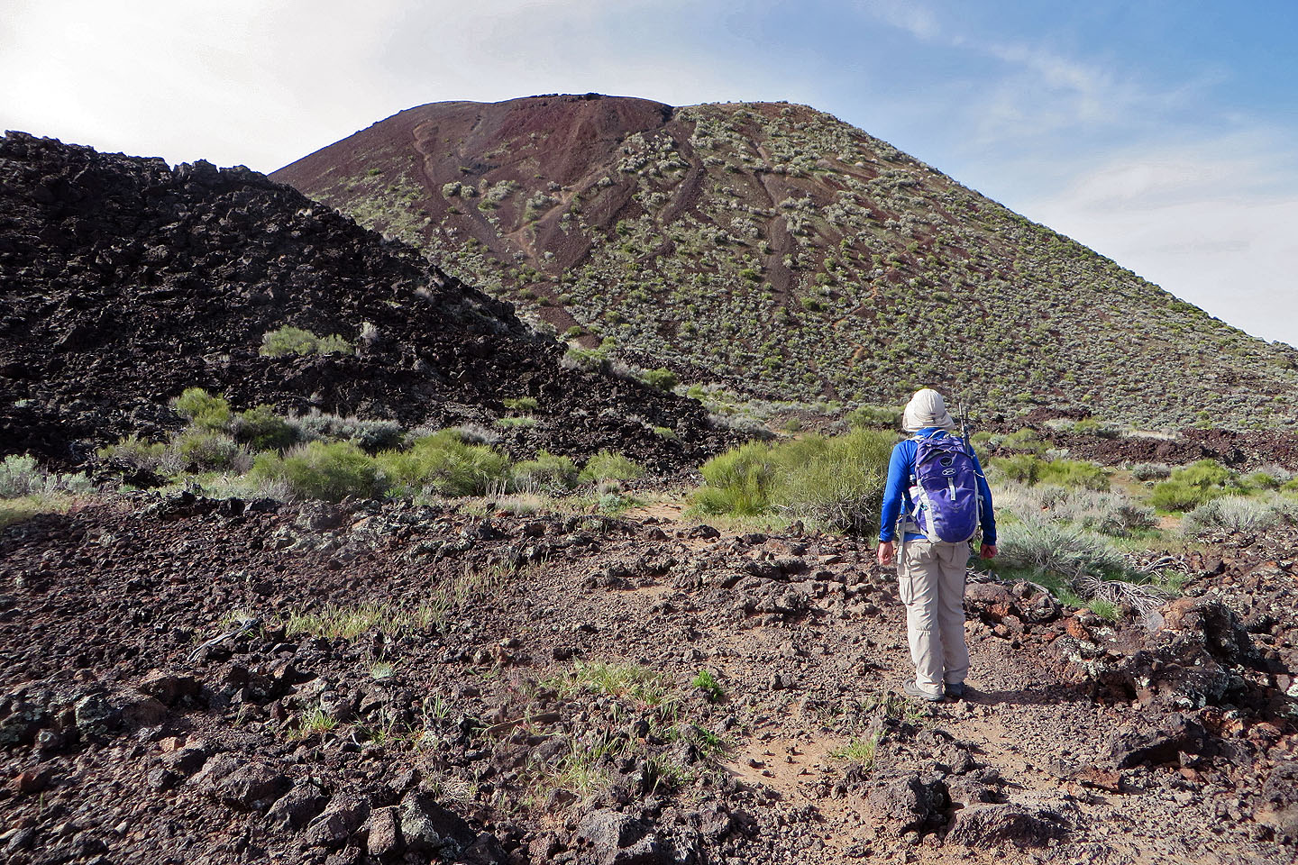
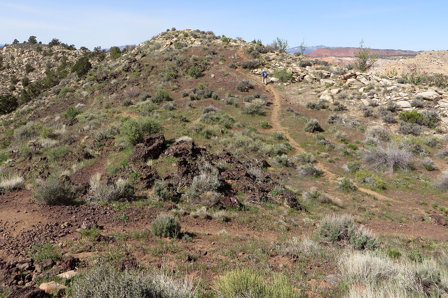
It looks tempting to climb the steep, black slope ahead, but signs say to stay on the trail. Spiralling around to the backside, the path climbs gently at first. But the trail steepens when it climbs to a saddle and then up to the rim. Here it's easy to slip on cinders that can roll underfoot.
We reached the summit, but the trip wouldn't be complete without walking the rim. We followed the circular path down to the lower, opposite rim. Here, a side trail leads to the bottom of the bowl, but we didn't bother and continued around, back up to the summit.
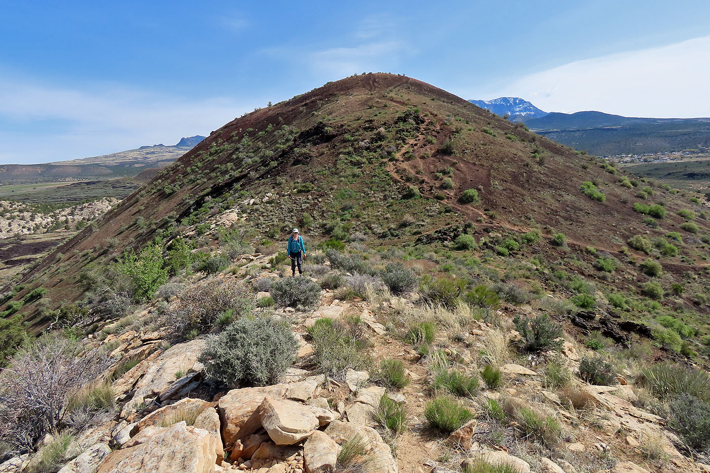
We returned to the saddle but instead of turning left and retracing our steps back down, we continued straight ahead, following a path that traverses a low ridge of white rocks. We continued along the trail as it double backs beneath the ridge and rejoins the main trail below the saddle. There we met two park rangers.
They were taking stock of the new trail, the one we came down. We learned that the steep trail to the saddle is going to be decommissioned because of erosion issues and the gentler new trail will take over. After chatting with the rangers, we continued down the volcano. We finished our hike in time to have lunch at one of our favourite restaurants, Cracker Barrel.
Starting down the trail
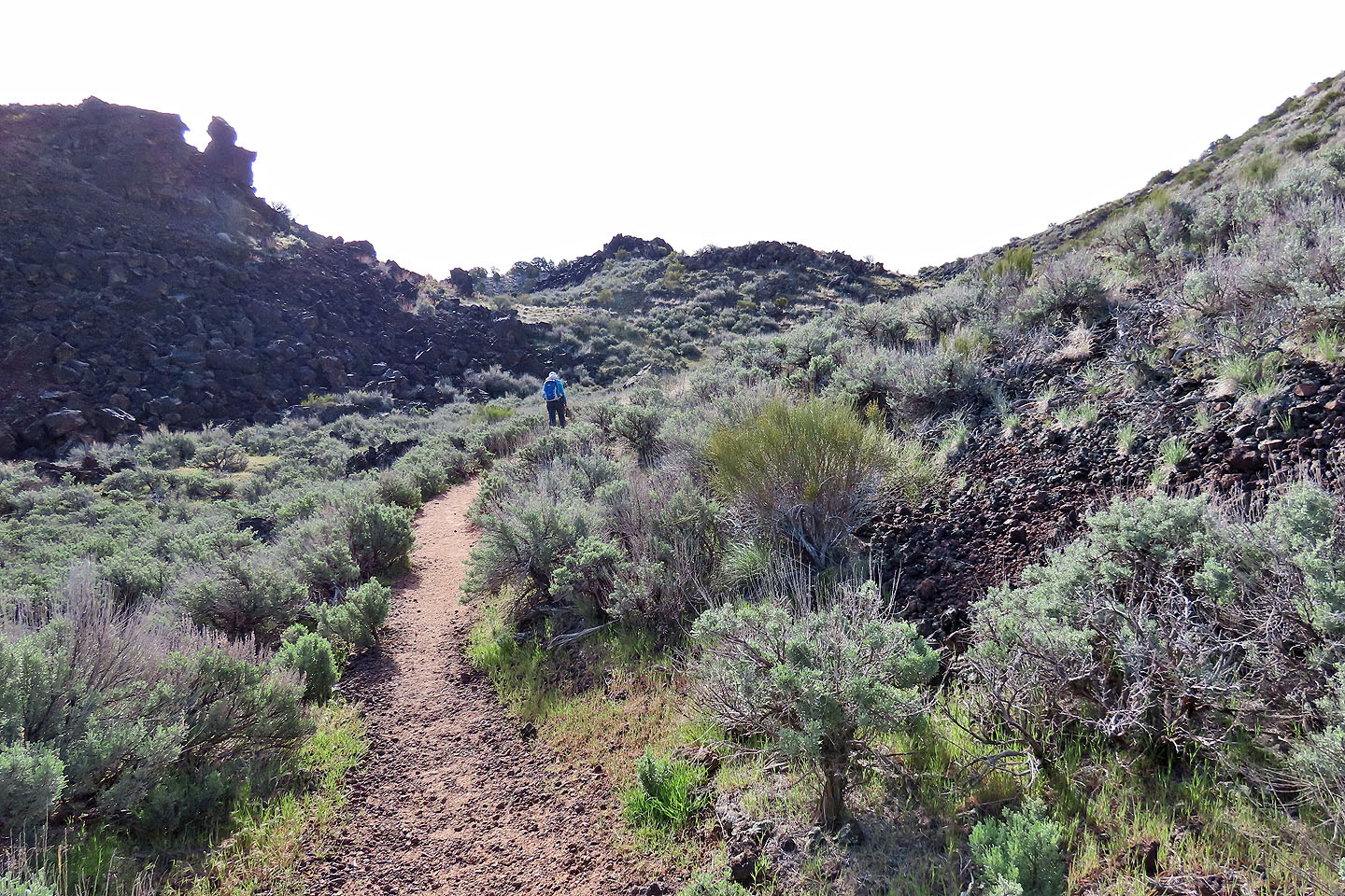
The trail winds around to a saddle on the backside
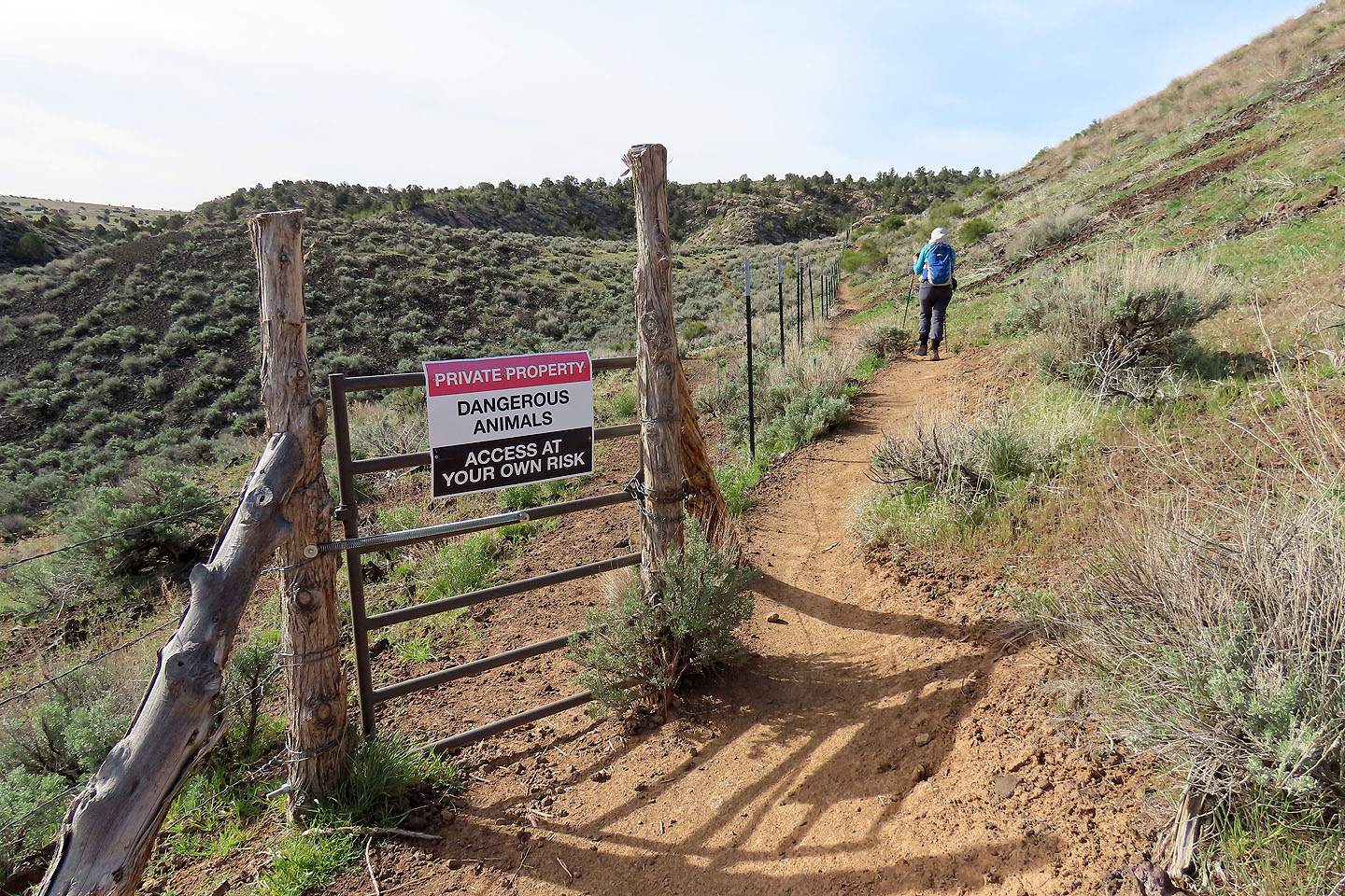
Dangerous animals?
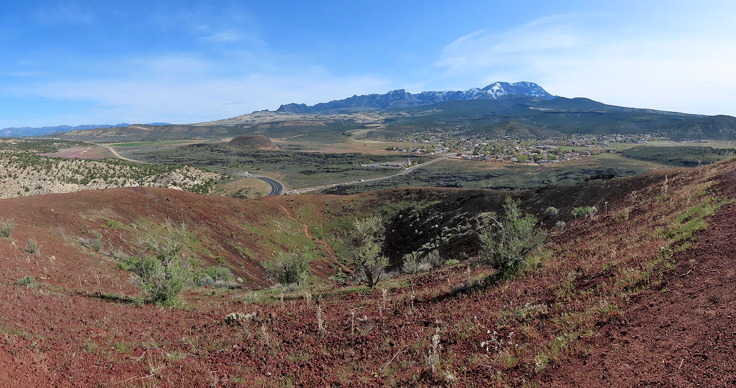
Behind are the peaks of the Pine Valley Mountain Wilderness

On our way to the saddle

Hiking up the cone from the saddle
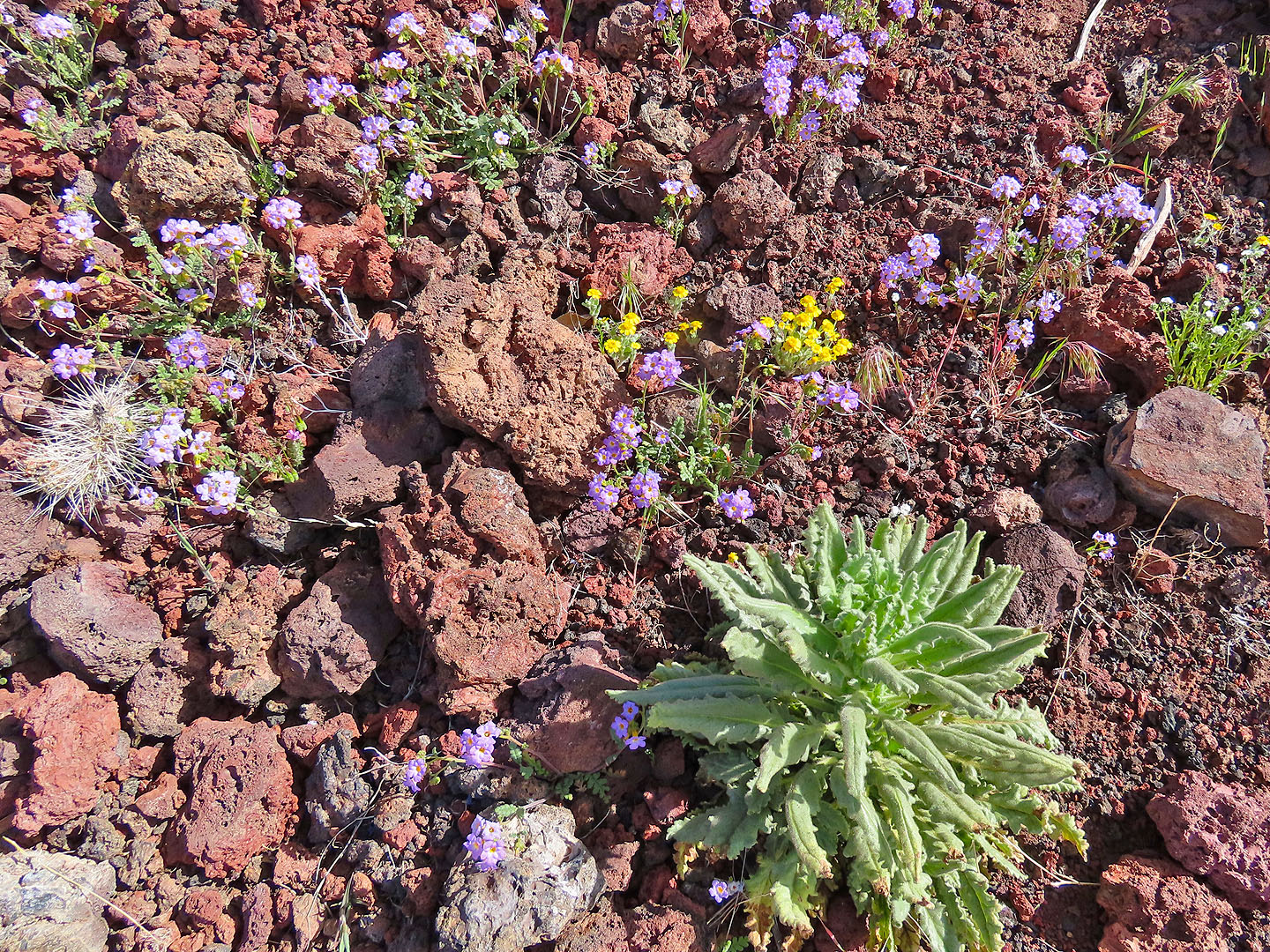
An assortment of wildflowers flourished beside the trail
On the summit
We followed the rim of the cone
Heading to the lowest point on the rim
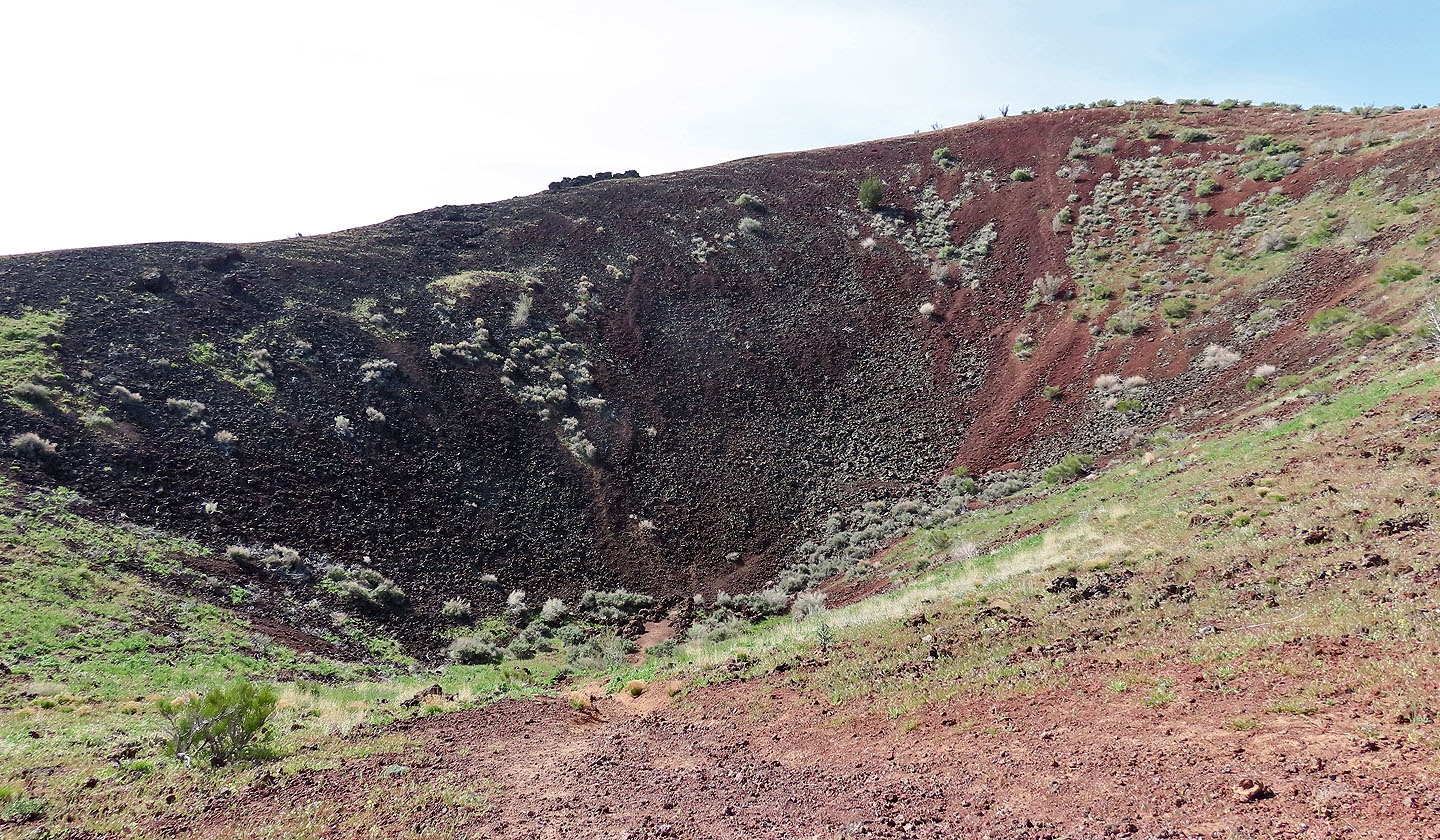
A trail leads to the bottom but we didn't bother
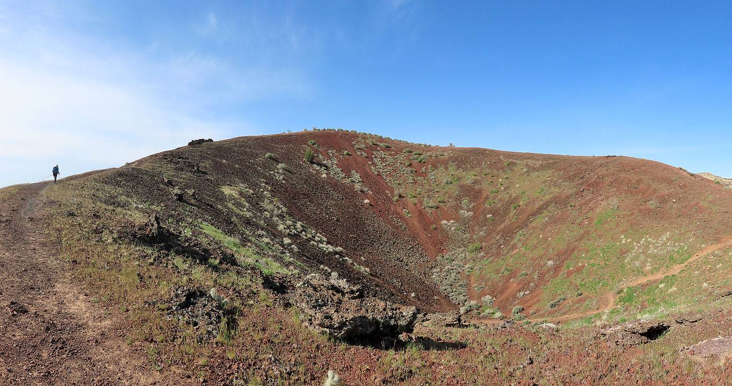
Returning to the summit
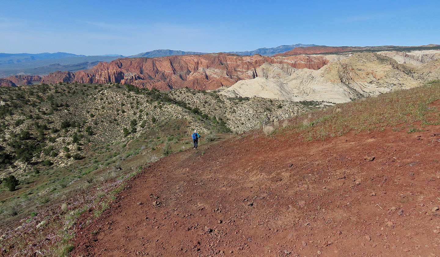
Heading to the white ridge ahead
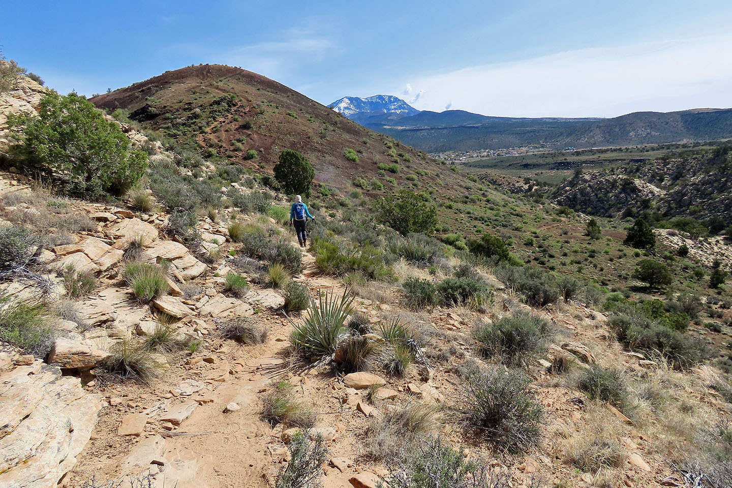
The trail to the ridge will replace the trail to saddle
Looking back at Diamond Cinder Cone from the ridge
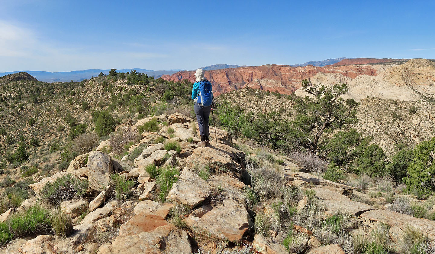
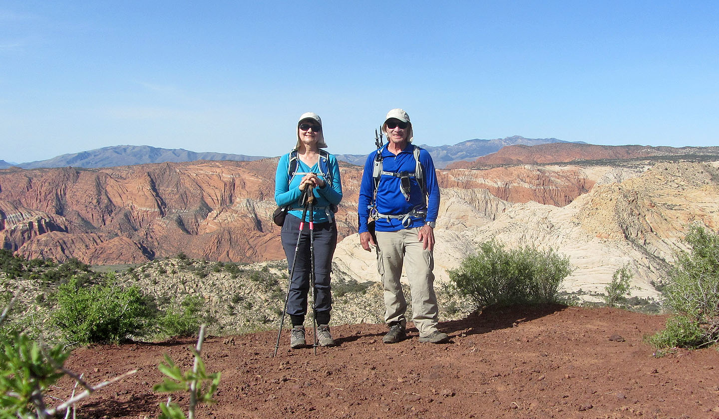
View from the ridgetop
The trail double backs below the ridge
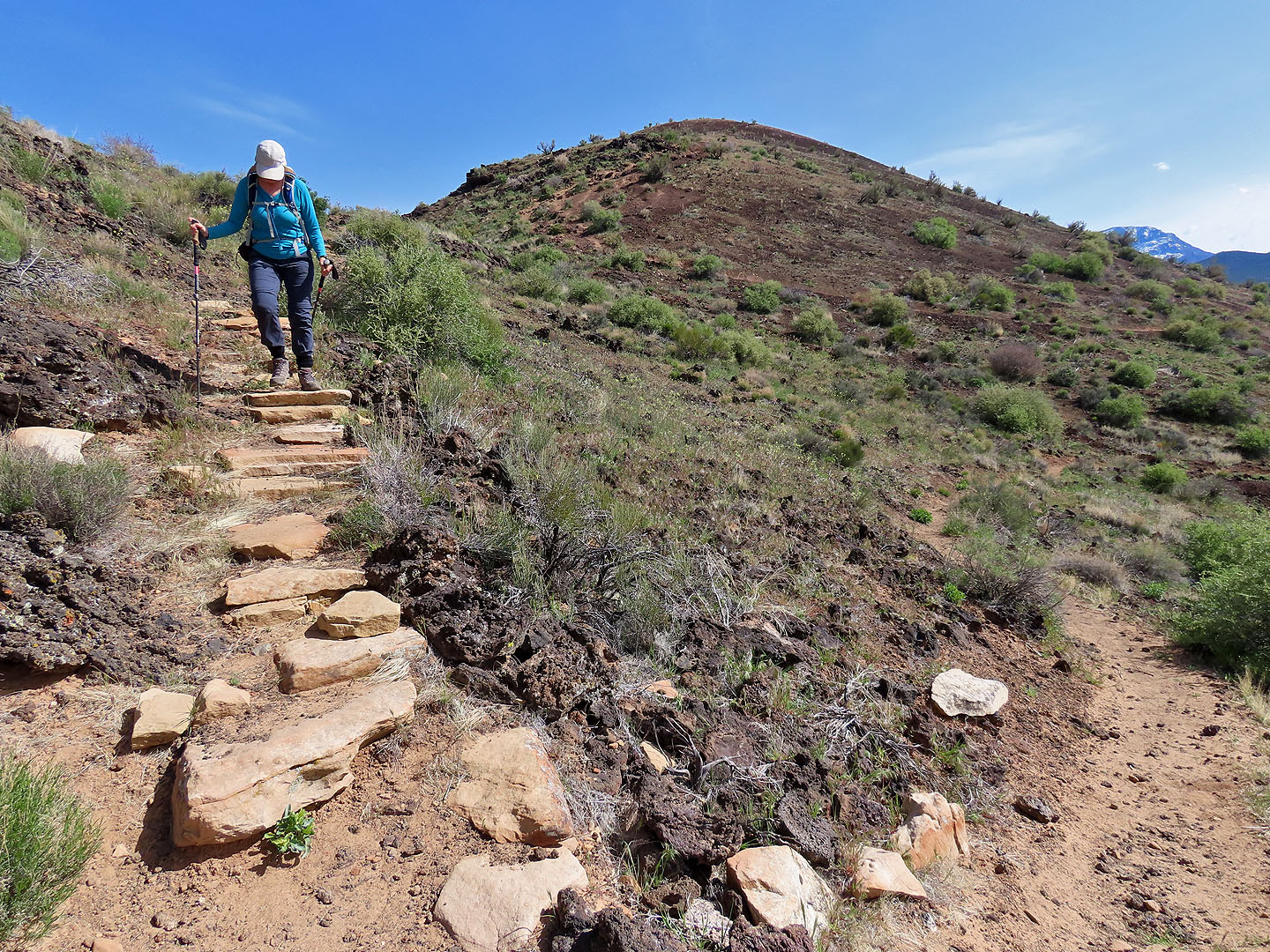
There were even stone steps
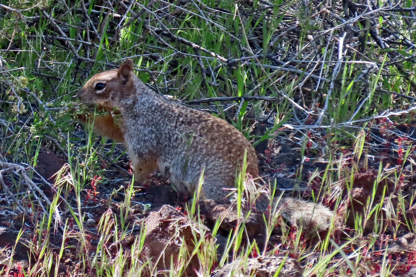
A rock squirrel searches for food in the bushes
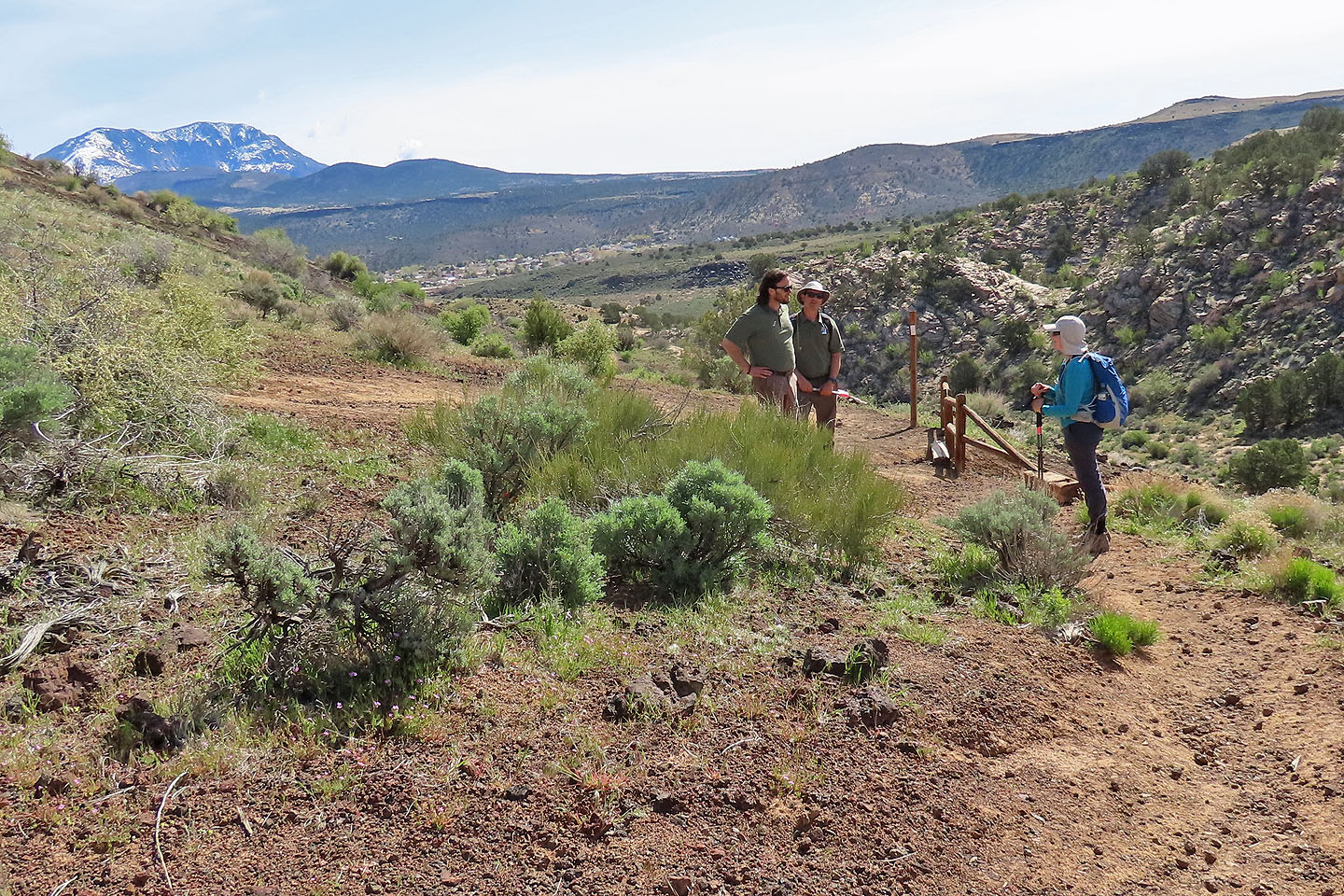
Back at the intersection, we stopped to talk to park rangers from the Department of Natural Resources
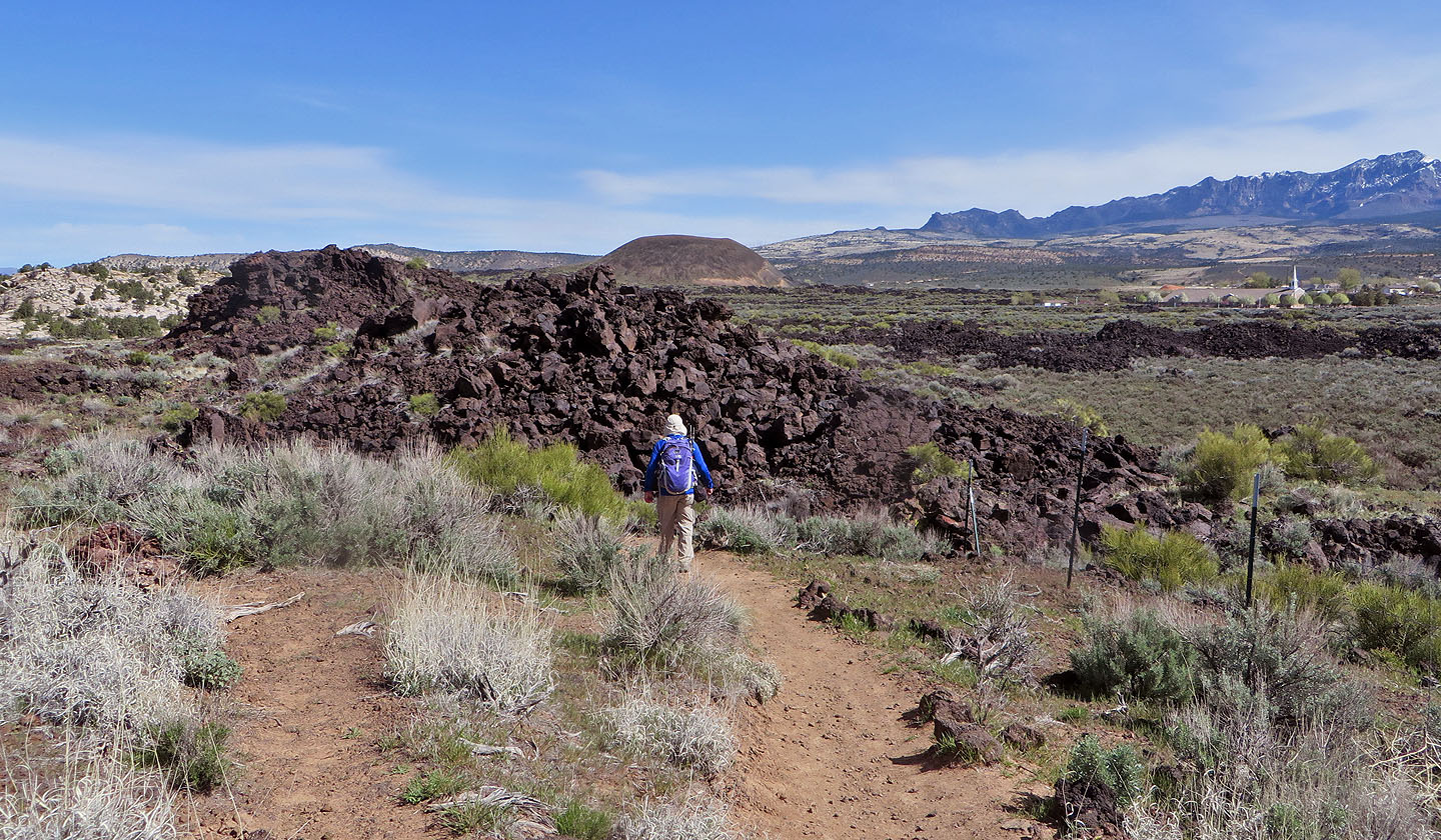
Heading back down, a lava field appears ahead. North Cinder Cone is in the background.
Santa Clara (2.2 mi, 4839 ft, 364 ft)