bobspirko.ca | Home | Canada Trips | US Trips | Hiking | Snowshoeing | Map | About
Ward North Ridge
Ward Mountain Recreation Area, Nevada
April 20, 2022
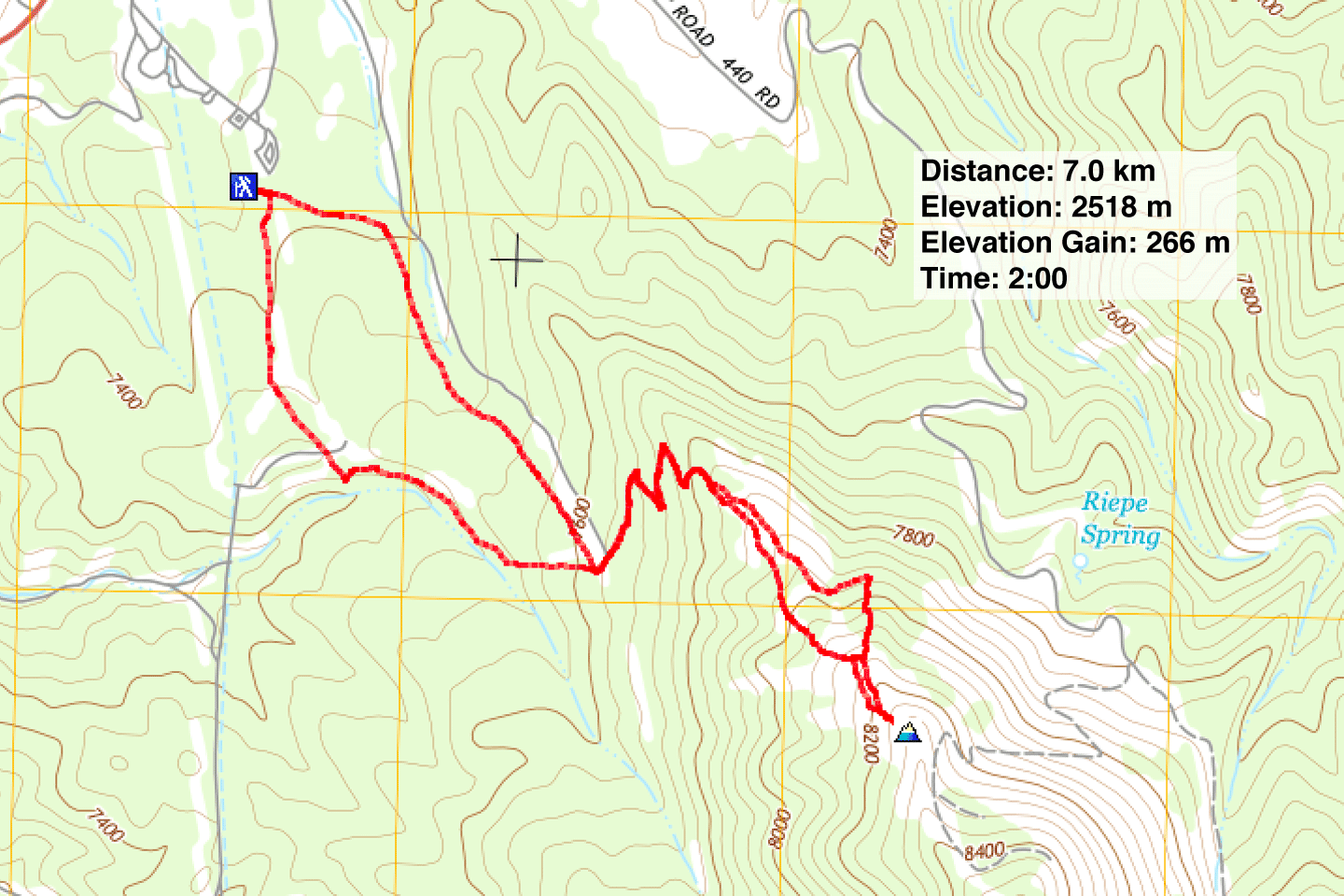
Distance: 7.0 km (4.3 mi)
Cumulative Elevation Gain: 284 m (932 ft)
Wishing to take a break from the eight-hour drive from Twin Falls ID to Beatty NV, Dinah and I stopped halfway to hike in Humboldt Forest. We chose Ward G Loop, a 5.5 km hike that climbs the lower slopes of the north ridge of Ward Mountain. But as we drove to the trailhead, we spied an open bump on the ridge and set our sights on reaching it.
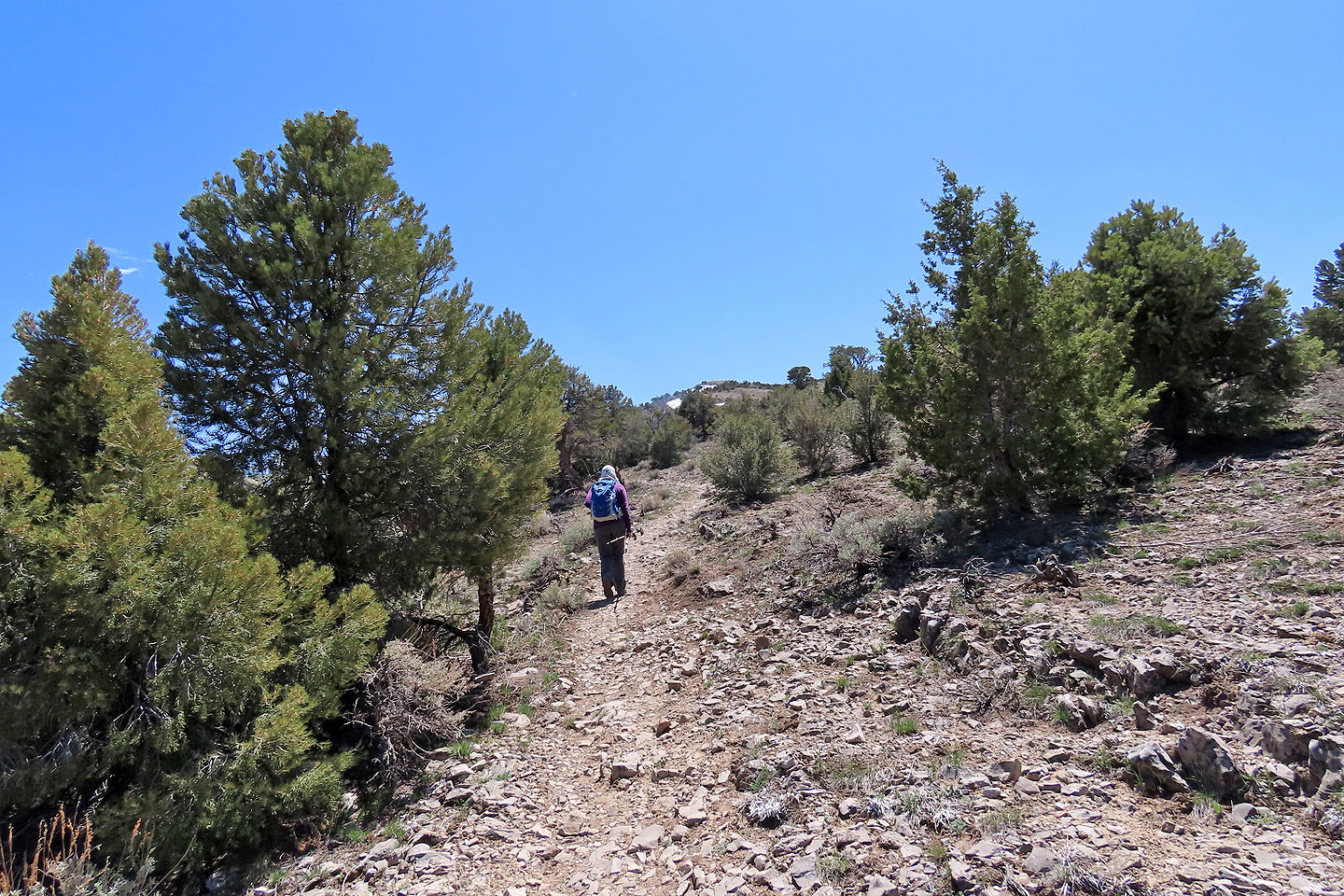
As we set off up the trail, we delighted in hiking through a forest of pinyon pines and junipers, a departure from our usual trips among pines. In addition, the trails appeared maintained and well-marked, suitable for biking and hiking as well as skiing and snowshoeing in the winter.
We ambled up the trail to the end of the loop. There, we caught GL trail where switchbacks eased the ascent up the slope. The trail then crosses over the ridge and continues low on the backside. We could've exited the trail on the crest and tackled the ridge directly, but we stuck to the trail in hopes of catching a side path to our goal. However, no path appeared. Before the trail dropped down, we left it and ascended a thinly treed ridge.
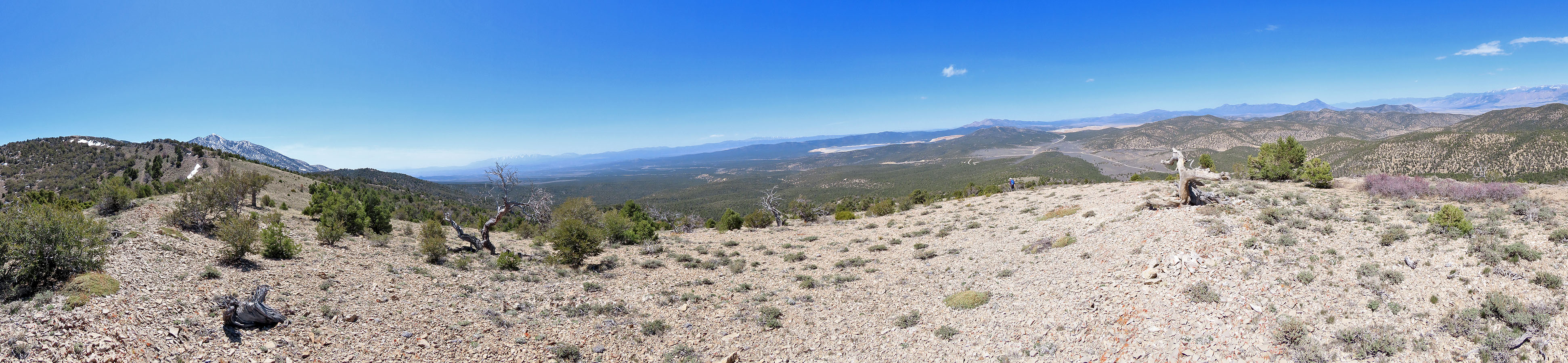
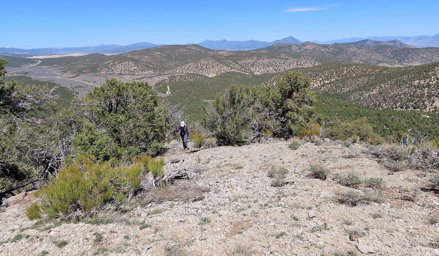
We soon reached the bald high point we had spied earlier, and the views did not disappoint. Had time permitted, we could've climbed higher to reach the very top of the ridge, but we had a long drive ahead of us. We followed the crest back to the trail.
We still wanted to complete the G Loop, so at the end of the loop, we kept left and followed the trail as it skirts a rim that lines a valley. Trees prevent views except at a glade where the trail turns towards the trailhead. Before finishing our hike on Ward Ridge, we had a satisfying look at the point we had climbed.
We reached the little bare bump on the left
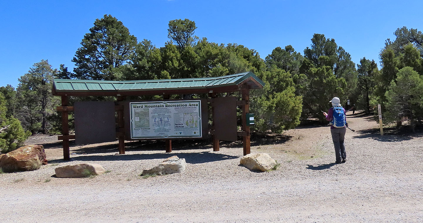
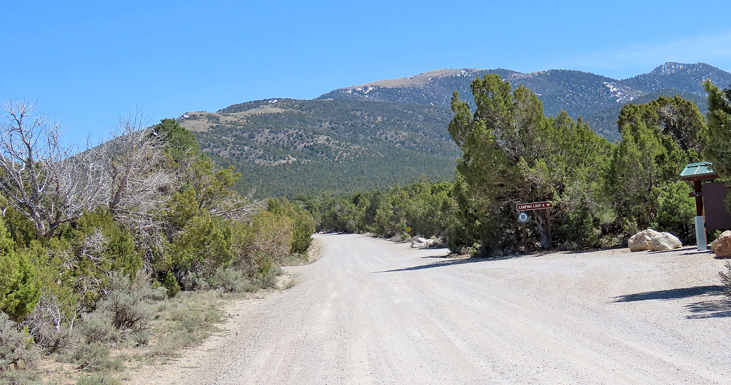
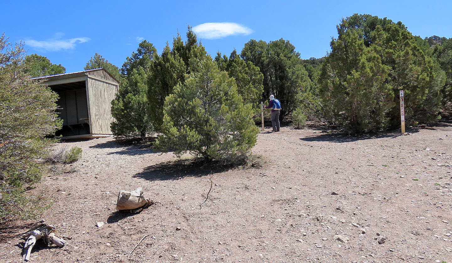
The trailhead
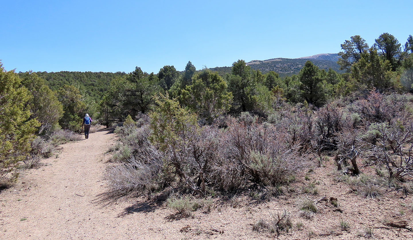
Hiking along the trail

Different trails are suitable for different sports
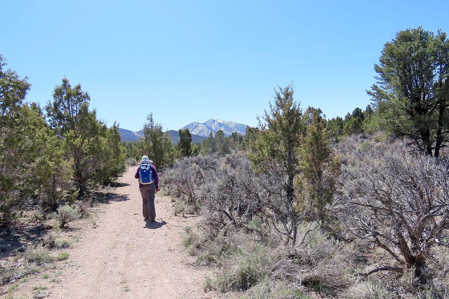
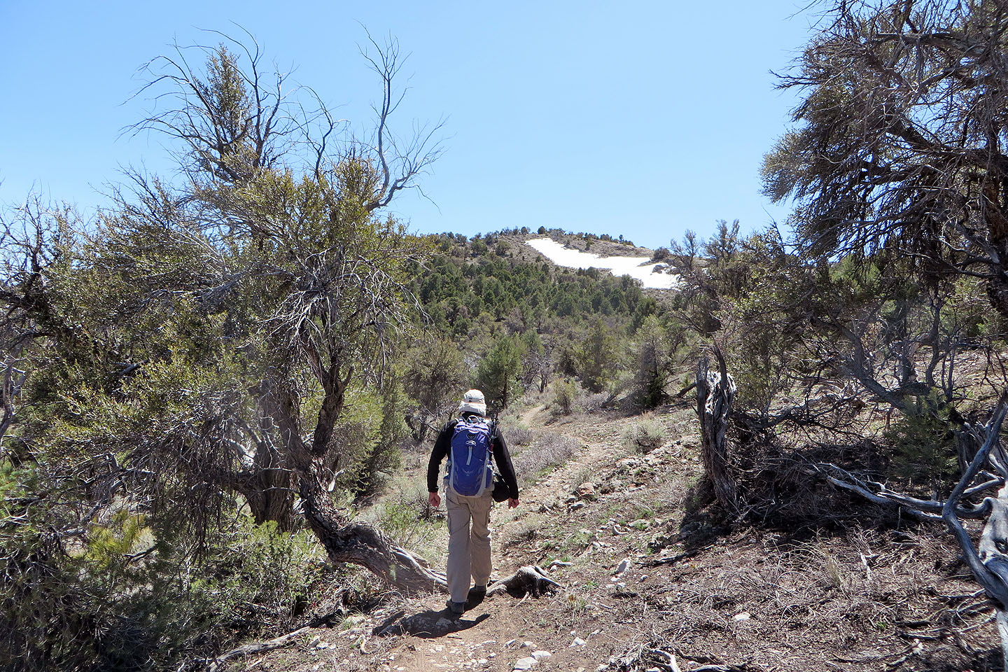
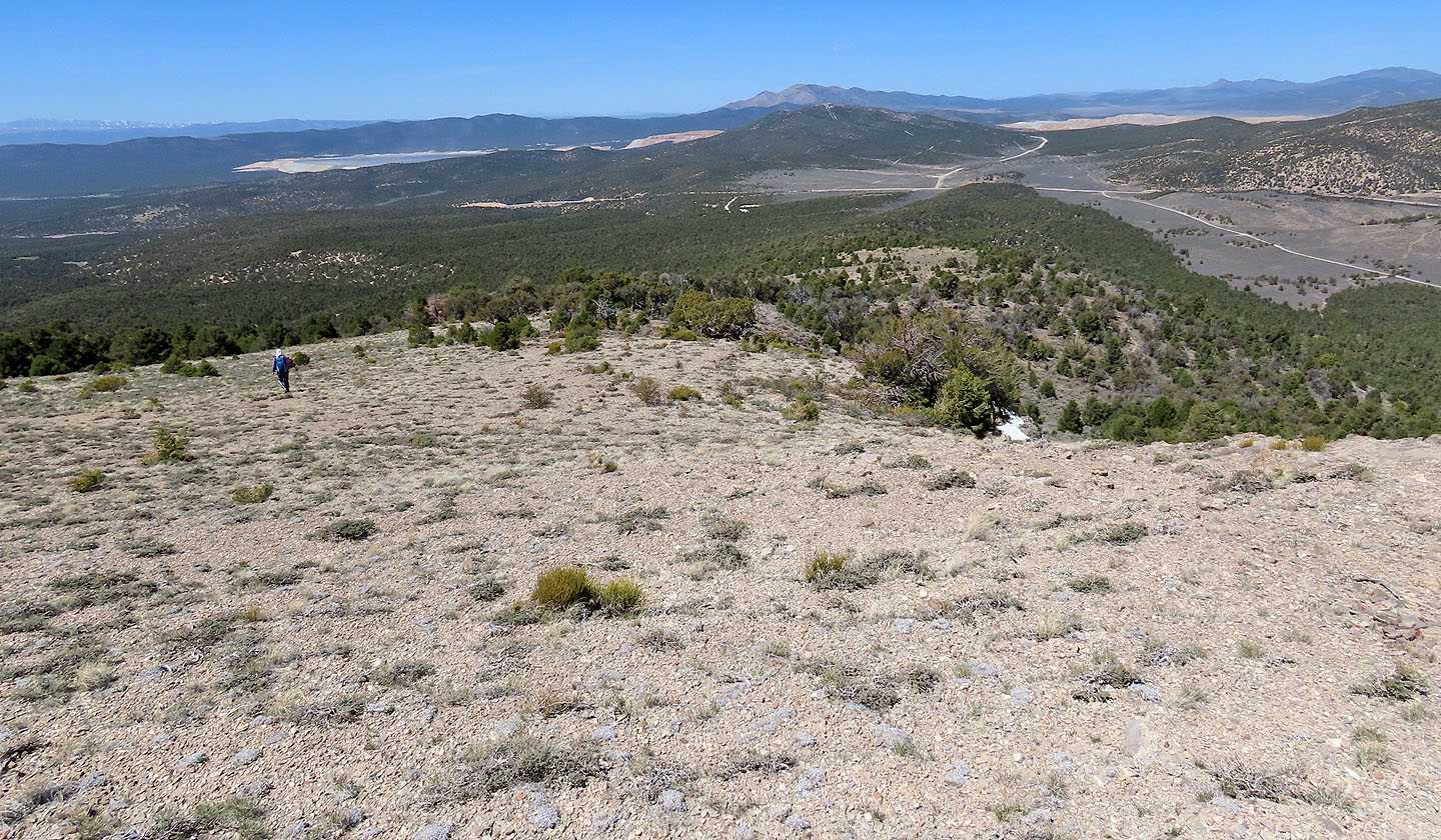
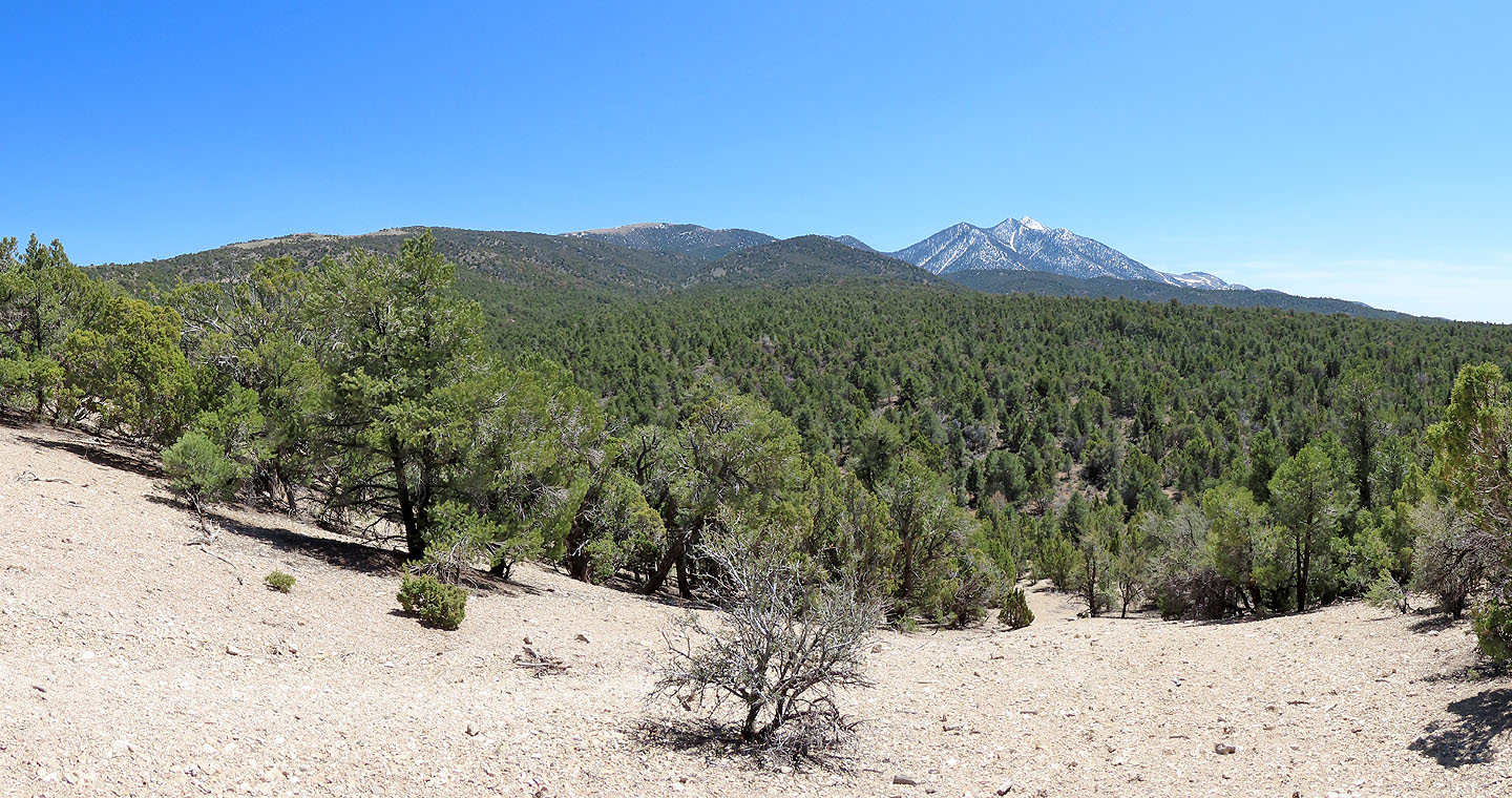
Ward Mountain North appears ahead
 At the end G Loop, we turned onto GL Trail
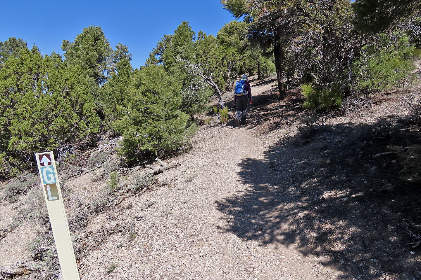
GL runs up the ridge
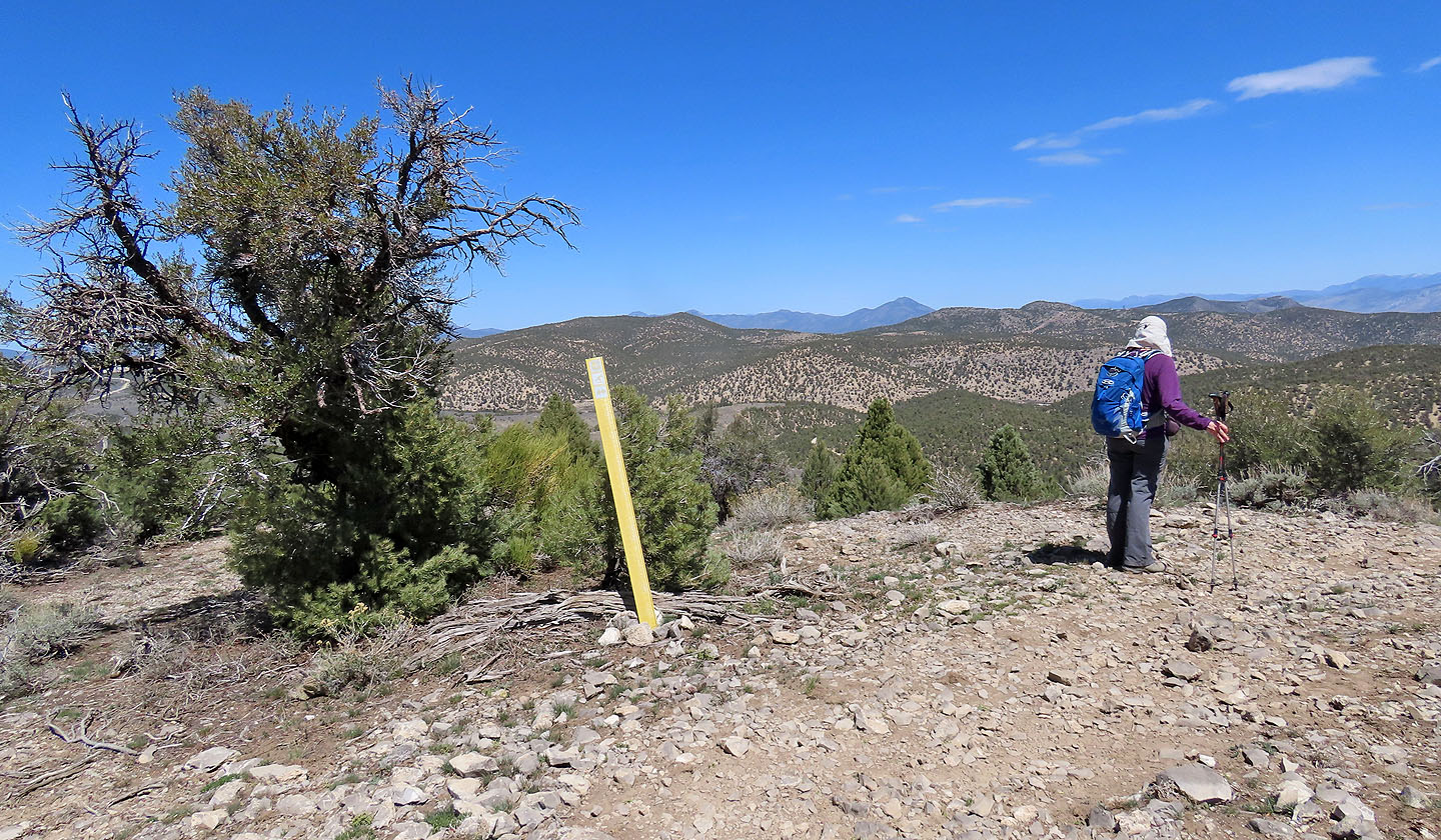
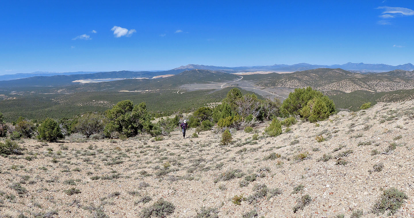
At a clearing, Dinah gazes at hills to the northeast
Our objective appears ahead
We followed the trail until we reached the ridge running down on the left
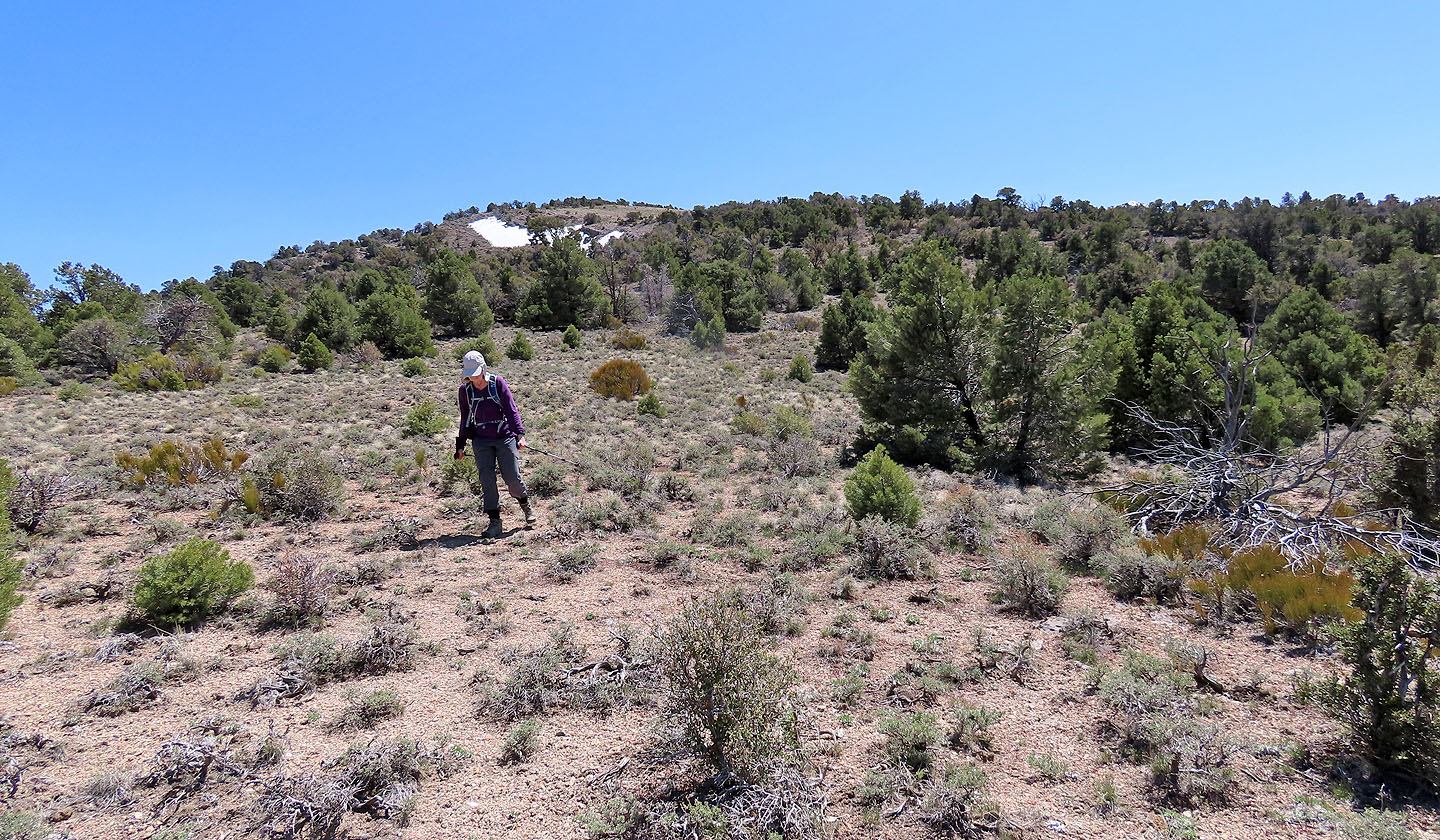
We left the trail and started up the ridge
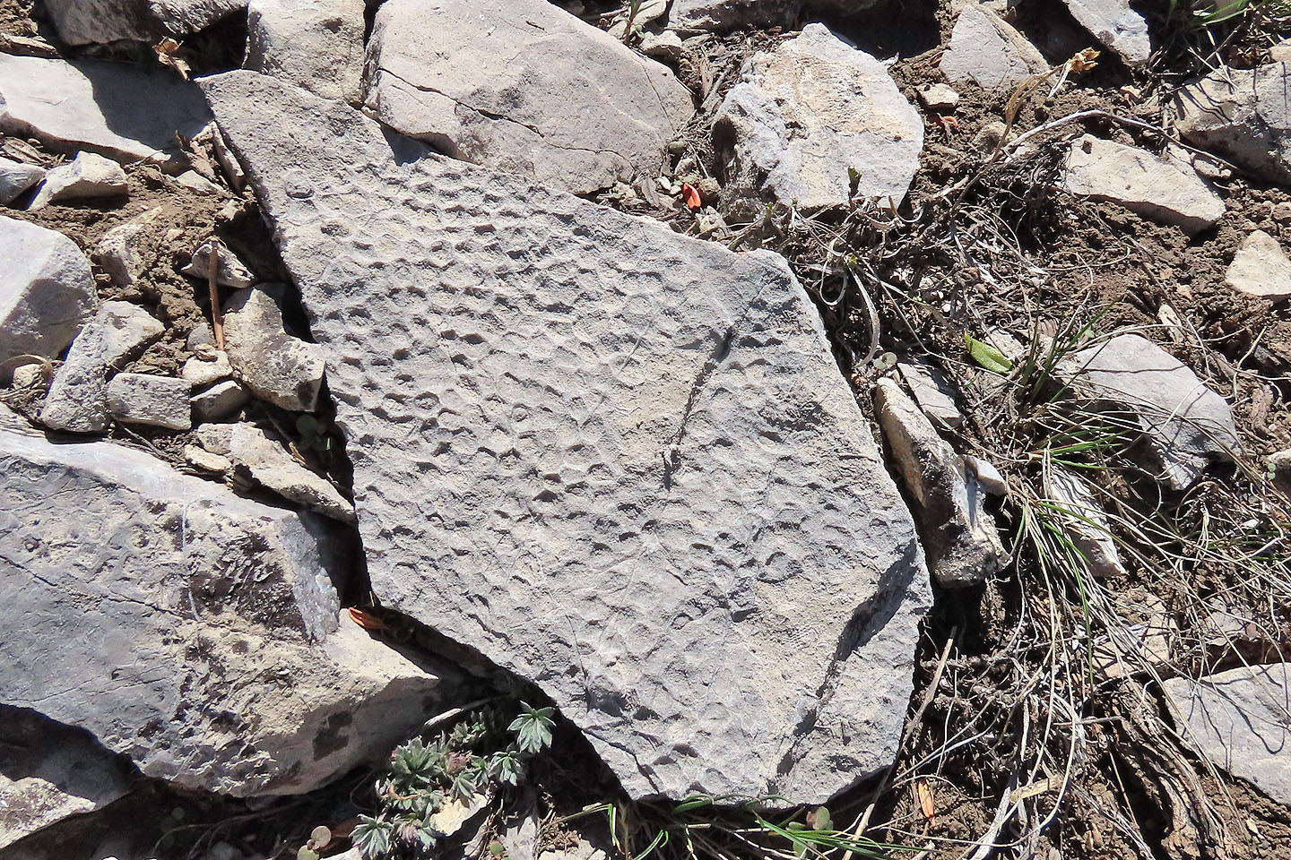 We came across fossils
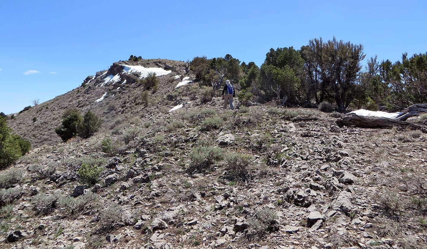
Coming up to the bump
Looking back as we approached the top
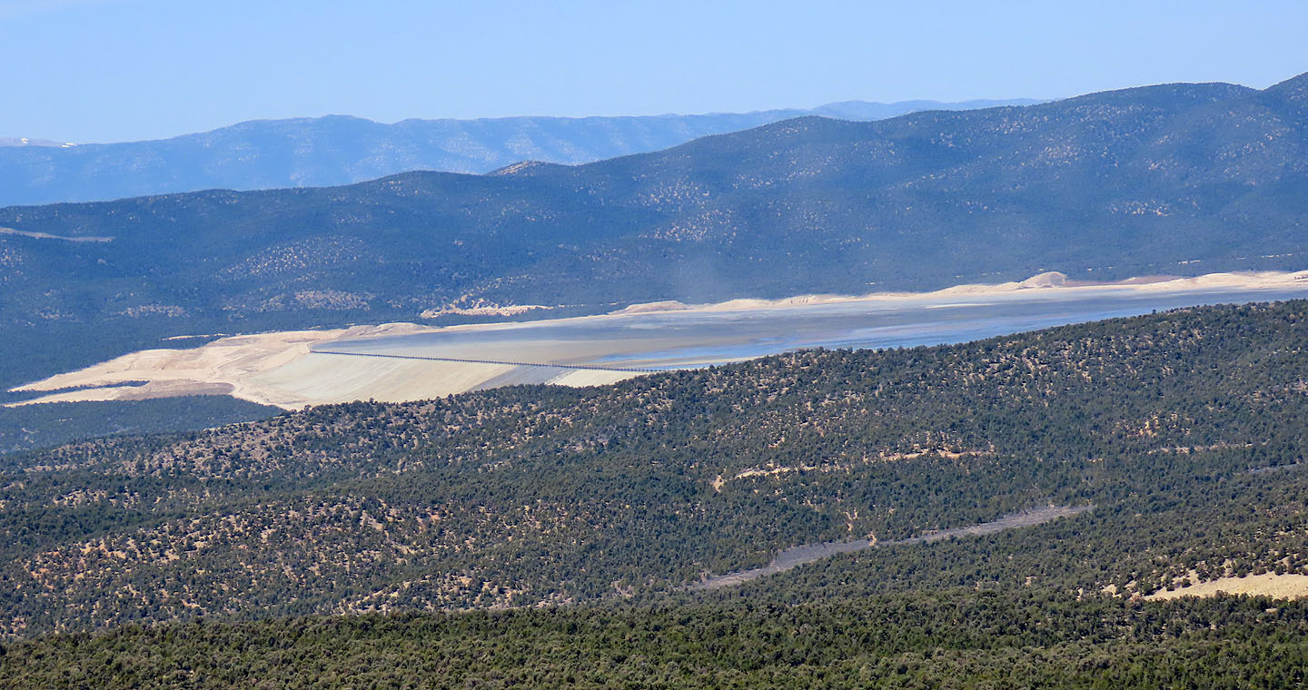
We saw this lake in the distance but it appeared man-made
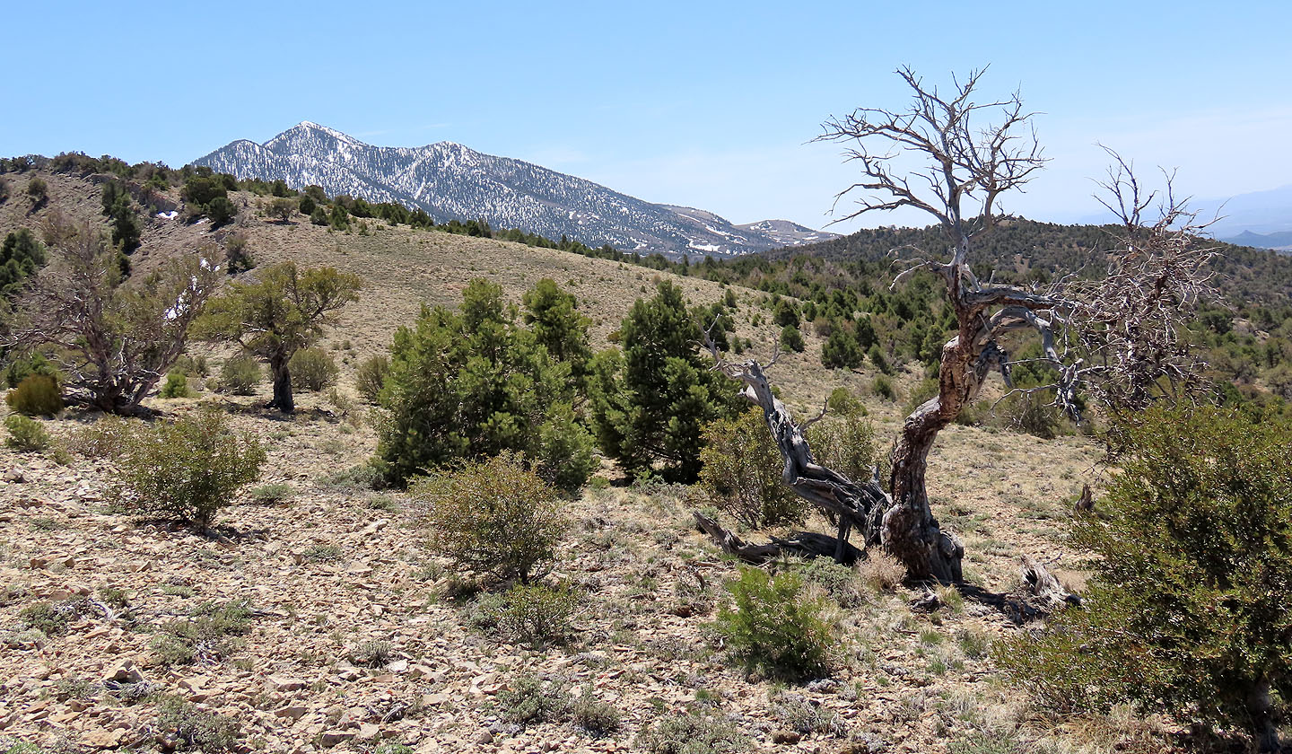
Ward Mountain North was snow-covered
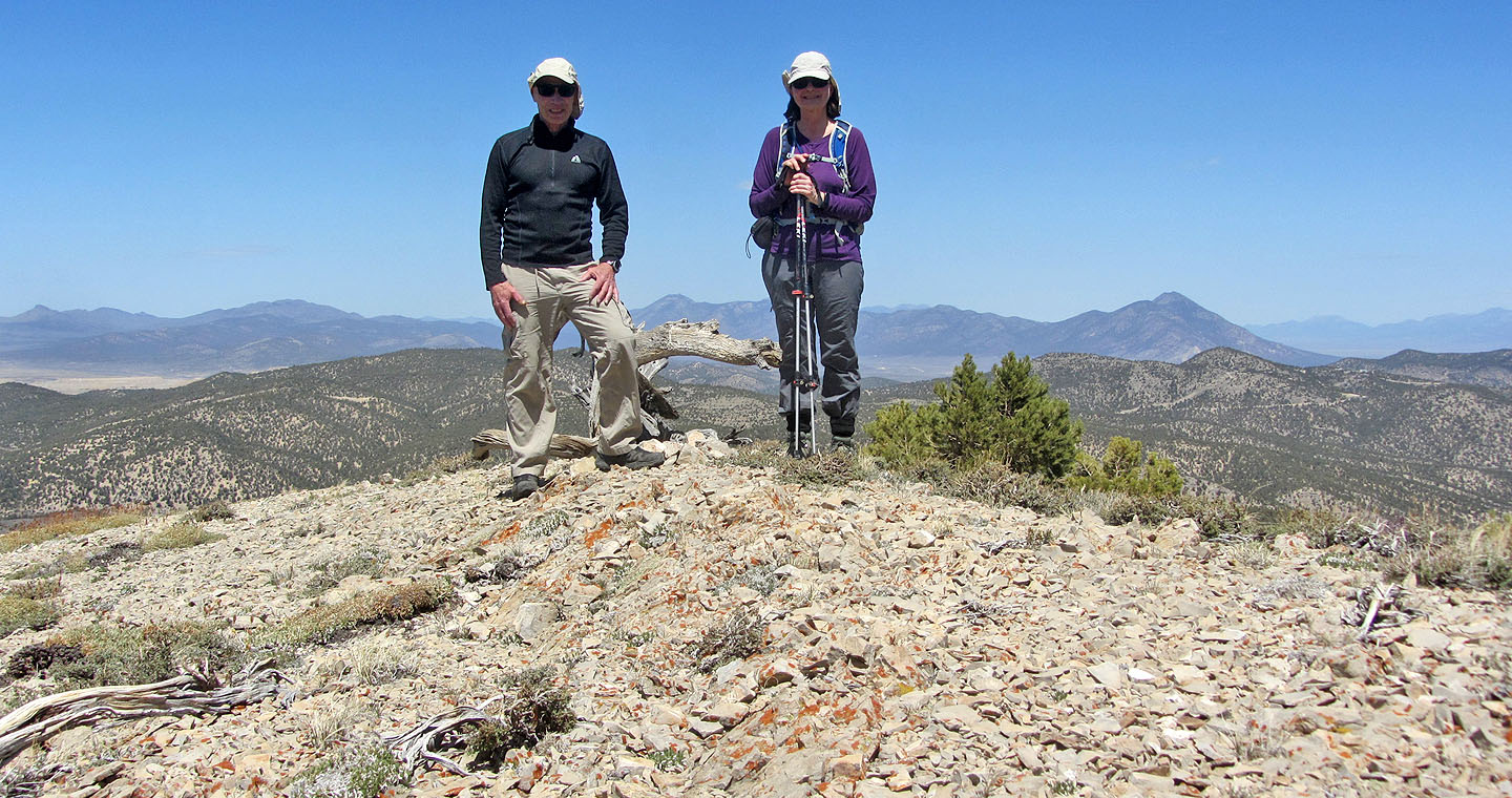
Standing on the little summit
For our descent, we stuck to the ridge until we intersected the trail
Looking back, you can see there was little bushwhacking
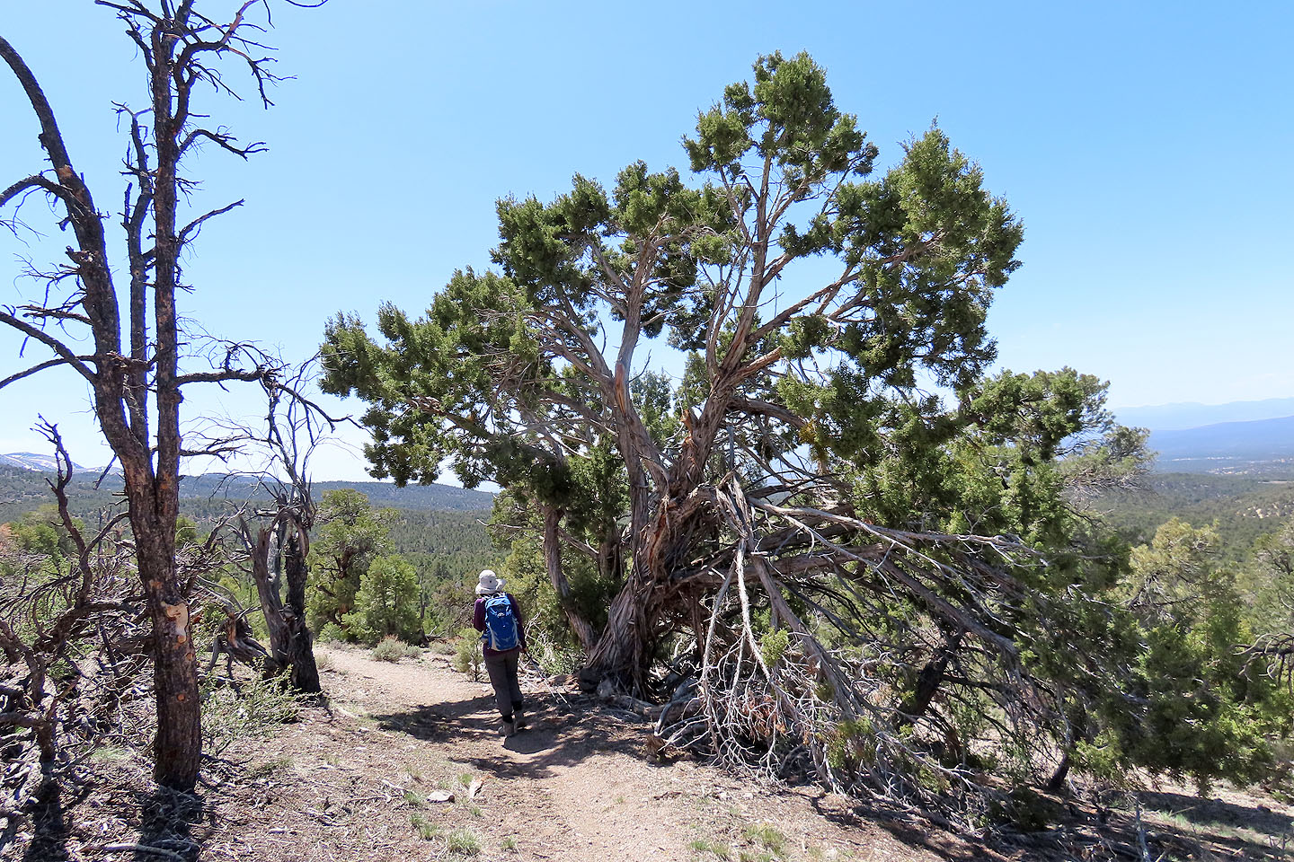
On the way down, we passed a large juniper with stringy bark (mouse over)
Continuing on G Loop we came to a clearing with a nice view of the ridge
Ely (4.3 mi, 8261 ft, 873 ft)