bobspirko.ca | Home | Canada Trips | US Trips | Hiking | Snowshoeing | MAP | About

Red Barrel Peak
Lake Mead NRA, Nevada
October 15, 2017
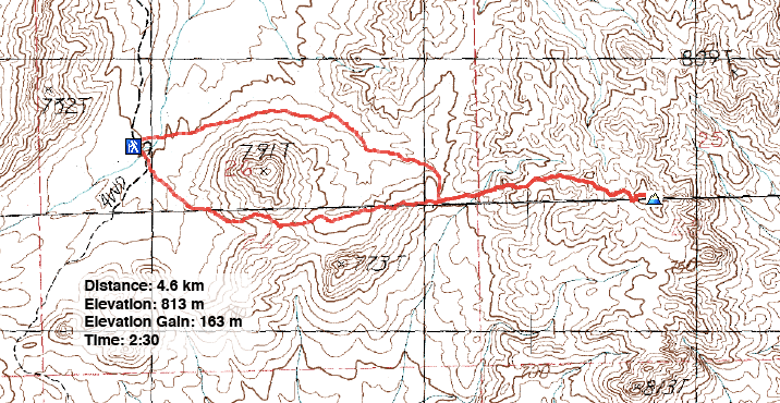
Distance: 4.6 km (2.9 mi)
Cumulative Elevation Gain: 196 m (643 ft)
There's little reason to ascend Red Barrel Peak other than it's a short, easy hike, and it has a name. Even so, this and other obscure little peaks around Lake Mead always seem to have something to offer. In the case of Red Barrel, there's a good trail running from a wash nearly to the summit, unusual if not unique for an unknown desert nub.
Dinah and I drove one mile down Boathouse Cove Road to a large parking area on the right (high clearance vehicle required). From our SUV, we traversed the north slopes of Peak 791 before dropping into a wash. We hiked up the wash to where it ended on a low saddle at the base of Red Barrel. There we found a nice trail that mostly follows the ridgeline. We got within 75 horizontal metres of the summit before leaving the trail and hiking to the top.
We wondered where Red Barrel Peak got its name, but it wasn't until we reached the summit that we came across the red-tinged cactus. Aside from cute little barrel cactus, the modest apex offered good views, including that of Lake Mead.
Instead of going back the same way, we returned to the saddle and hiked over the col south of Peak 791. Neither the south route nor the north route appeared to have any advantage over the other, but doing both made the most of our experience in climbing Red Barrel Peak.
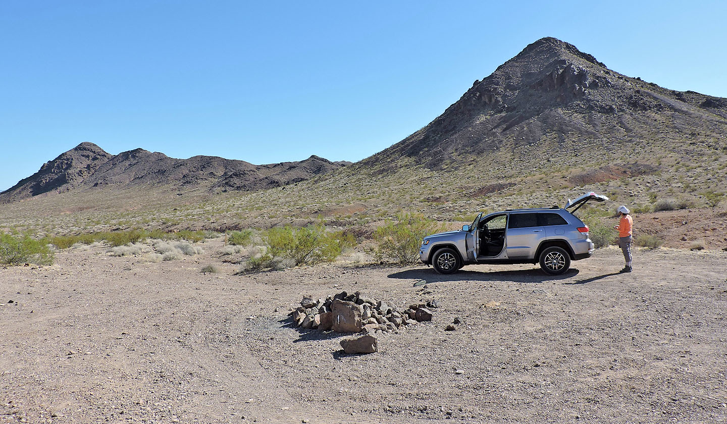
The trailhead: we went around the north (left) side of Peak 791 and came back on the south side
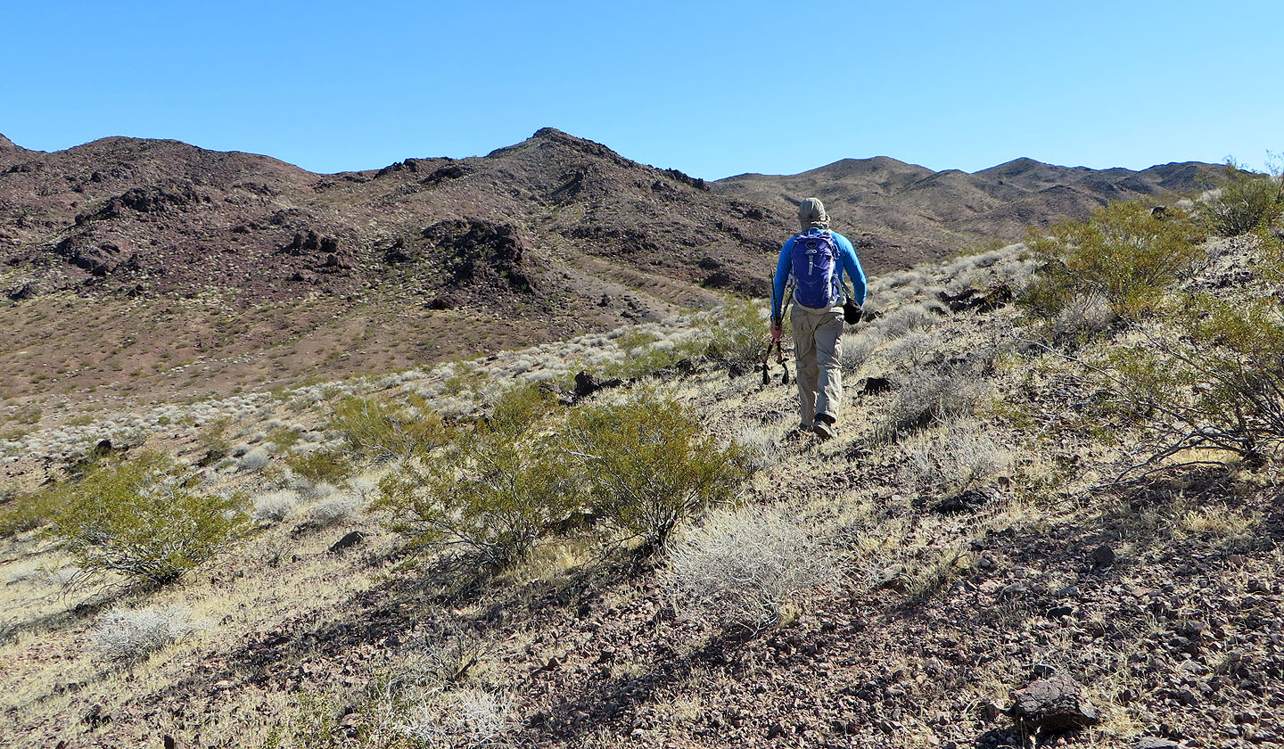
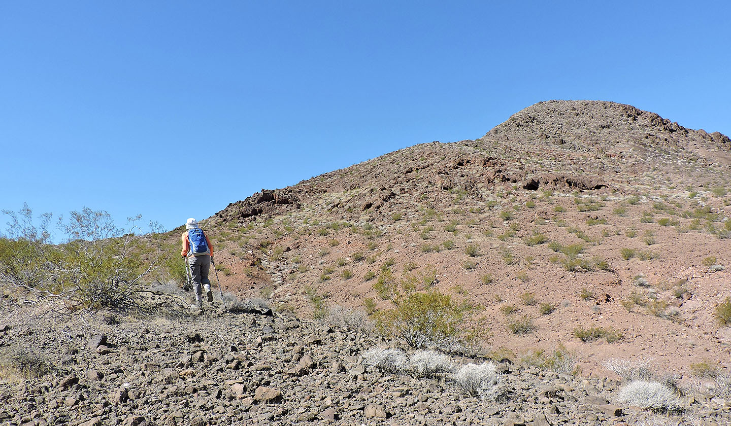
Traversing the slope north of Peak 791
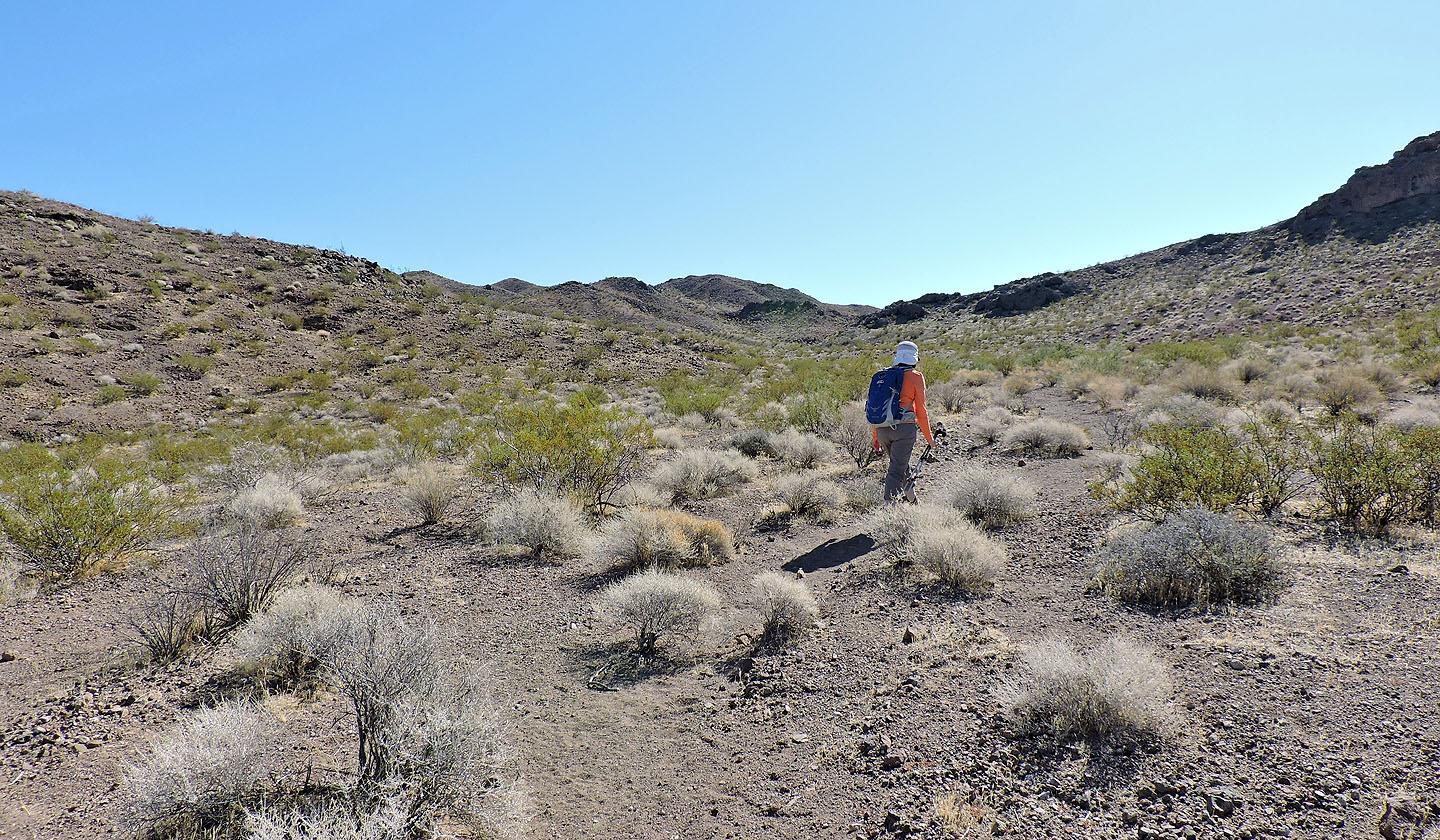
Then we dropped dropped into a wash and headed to Red Barrel Peak ahead
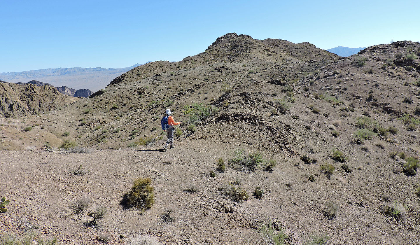
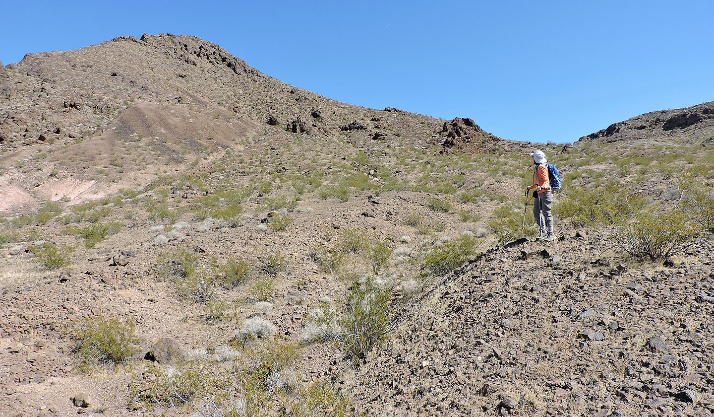
The wash climbs to a low saddle where we turned left and started up a trail
Looking back at the saddle and Peak 791 from the trail
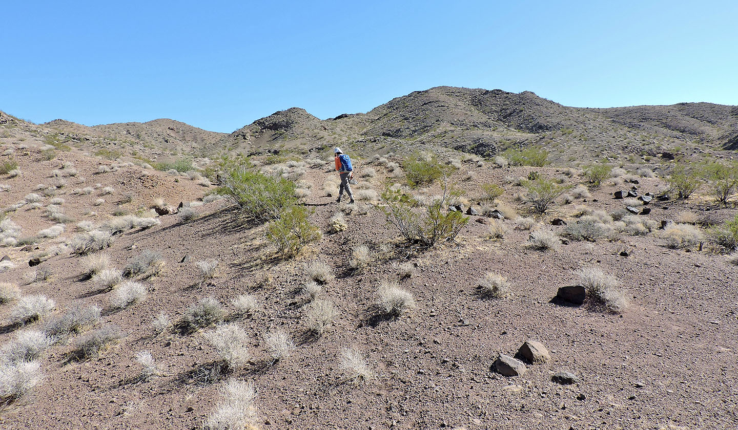
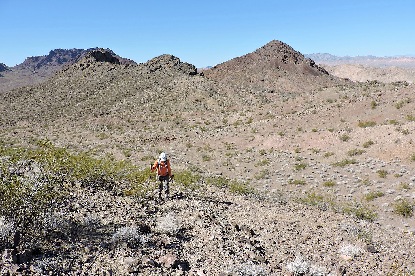
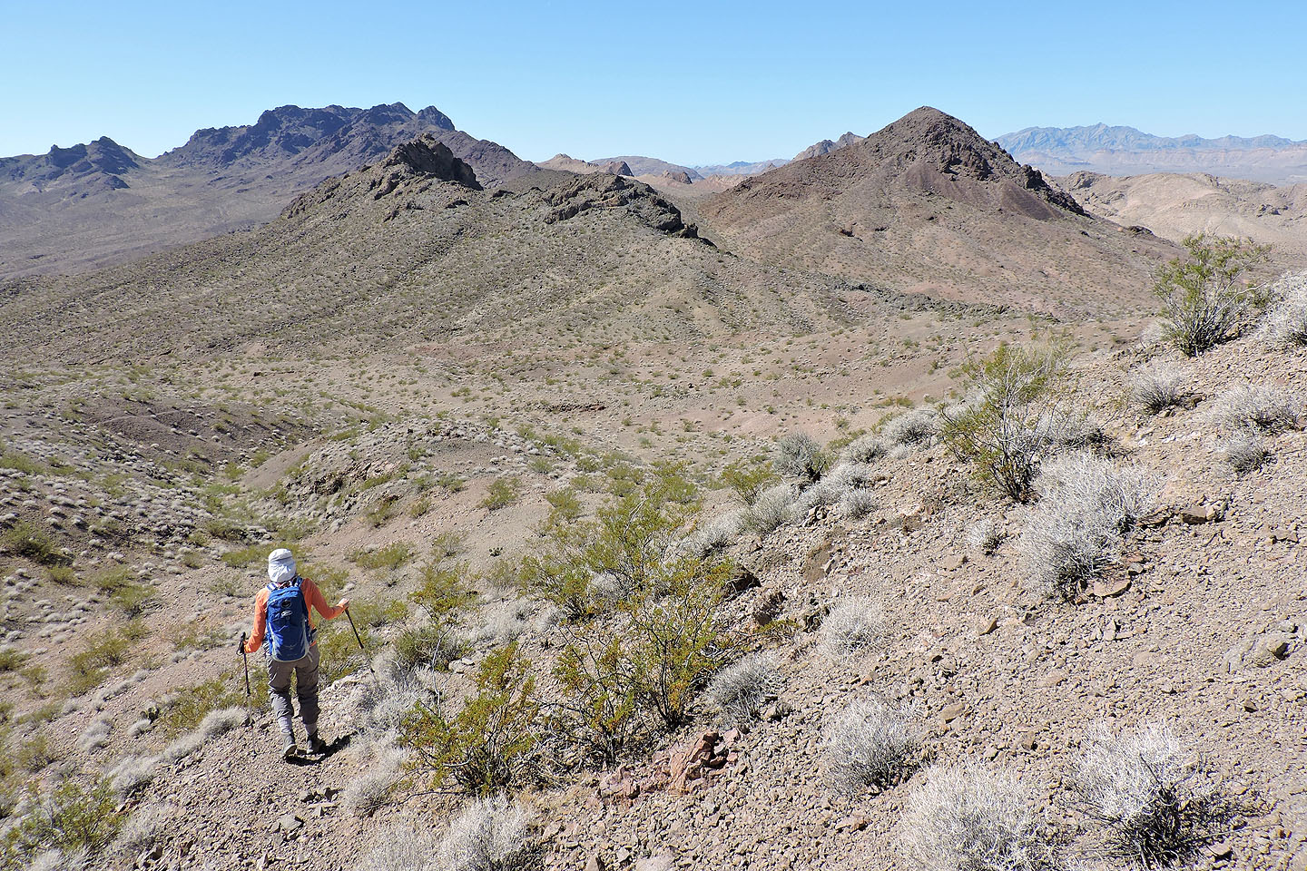
As we climbed, we began to get far-ranging views
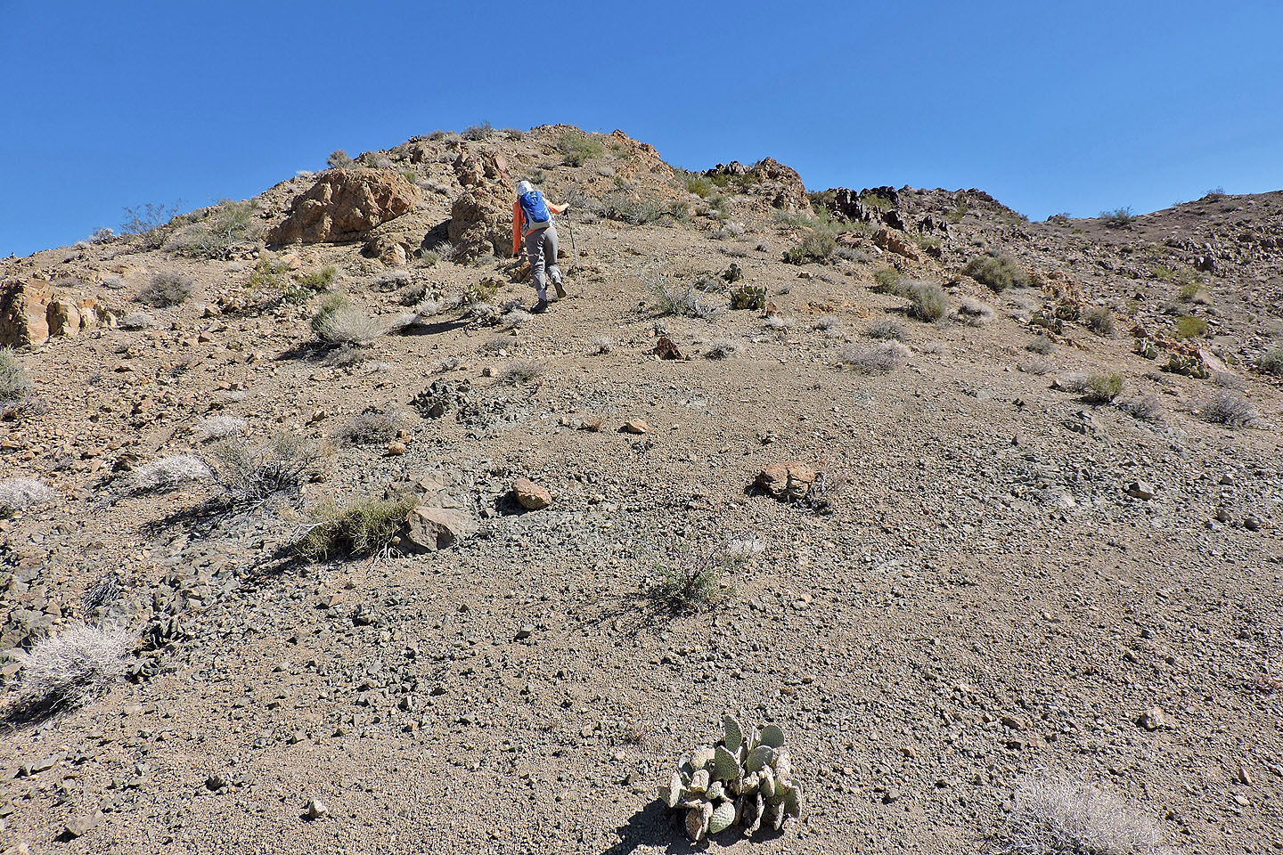
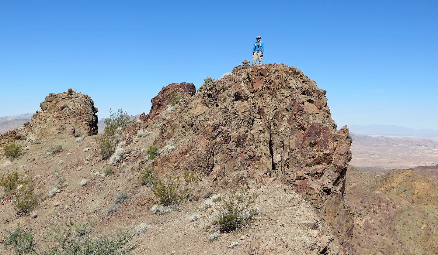
Ahead is a false summit
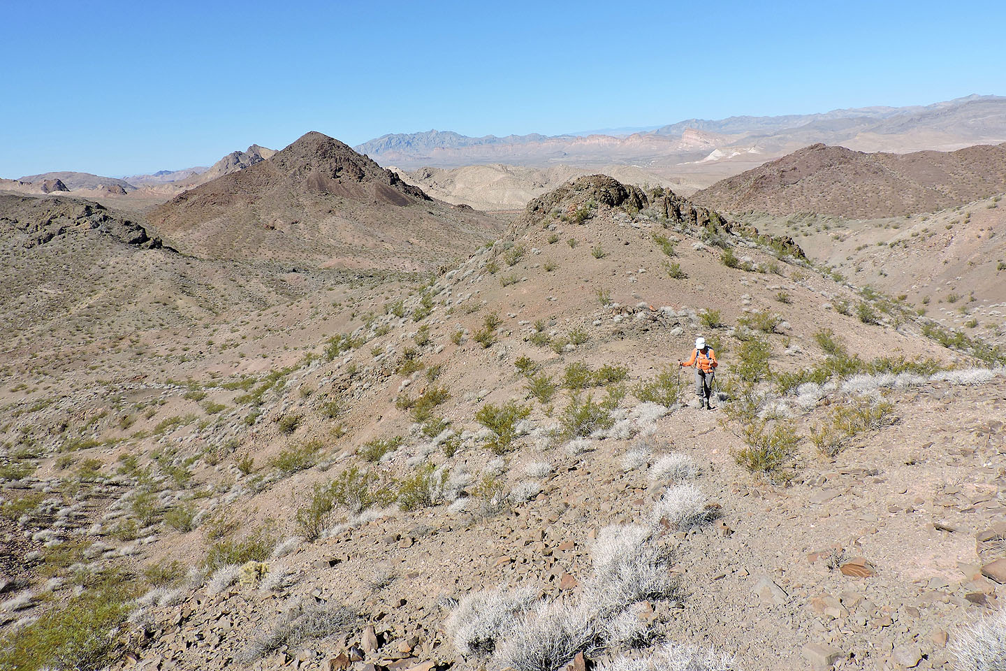
The true summit appears
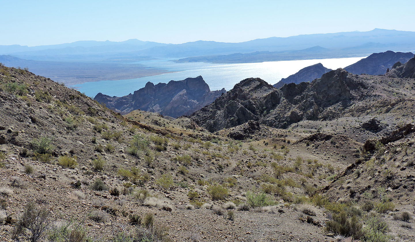
Below the summit, a shimmering Lake Mead came into view
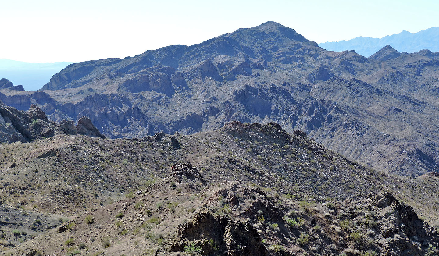
Manganese Peak lies south
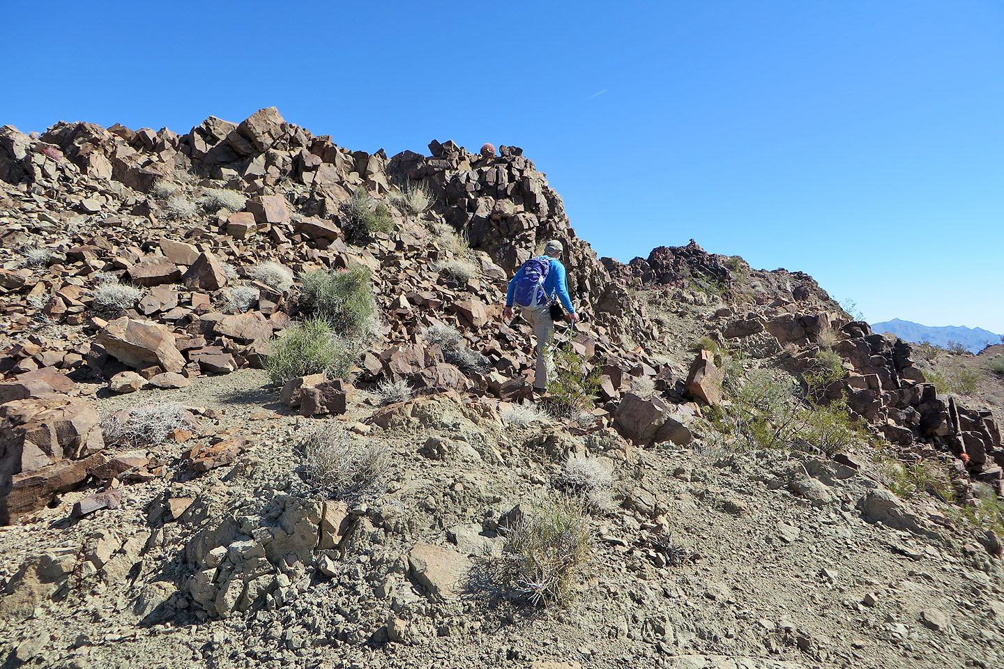
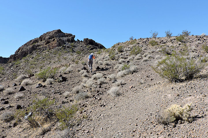
We left the trail and climbed a short distance to the summit
The summit cairn is ahead
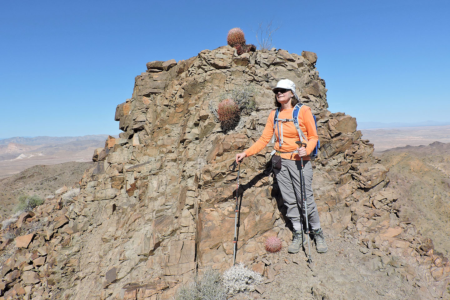
There are a few small barrel cactus on top
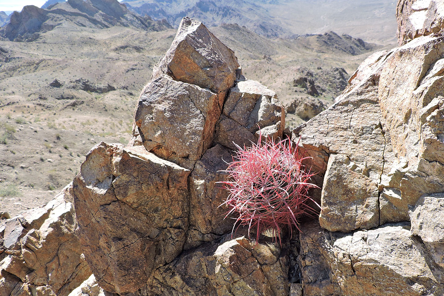
A close look at one of the cactus
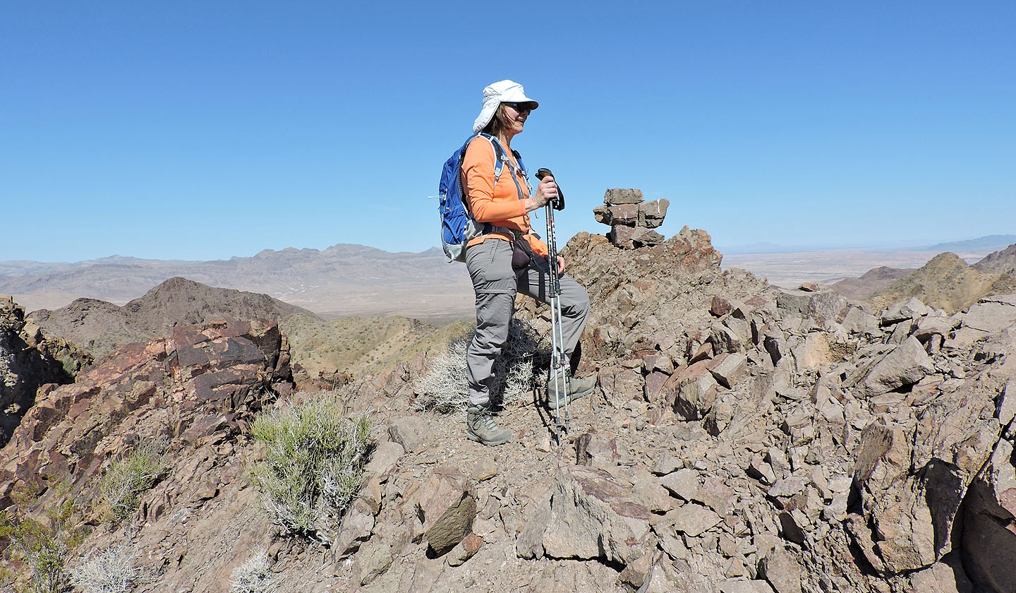
Dinah stands by the summit cairn
There's a big drop on the east side
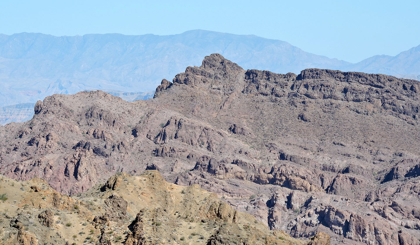
Cathedral Peak lies northeast
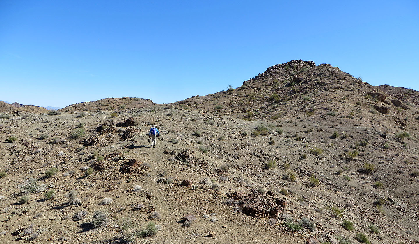
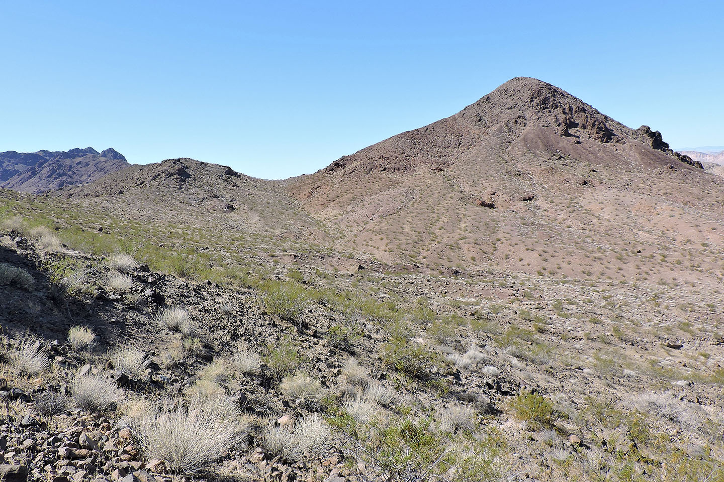
We headed back to climb the col north (left) of Peak 791
Back at the saddle, we started up the other side
The col was an easy ascent
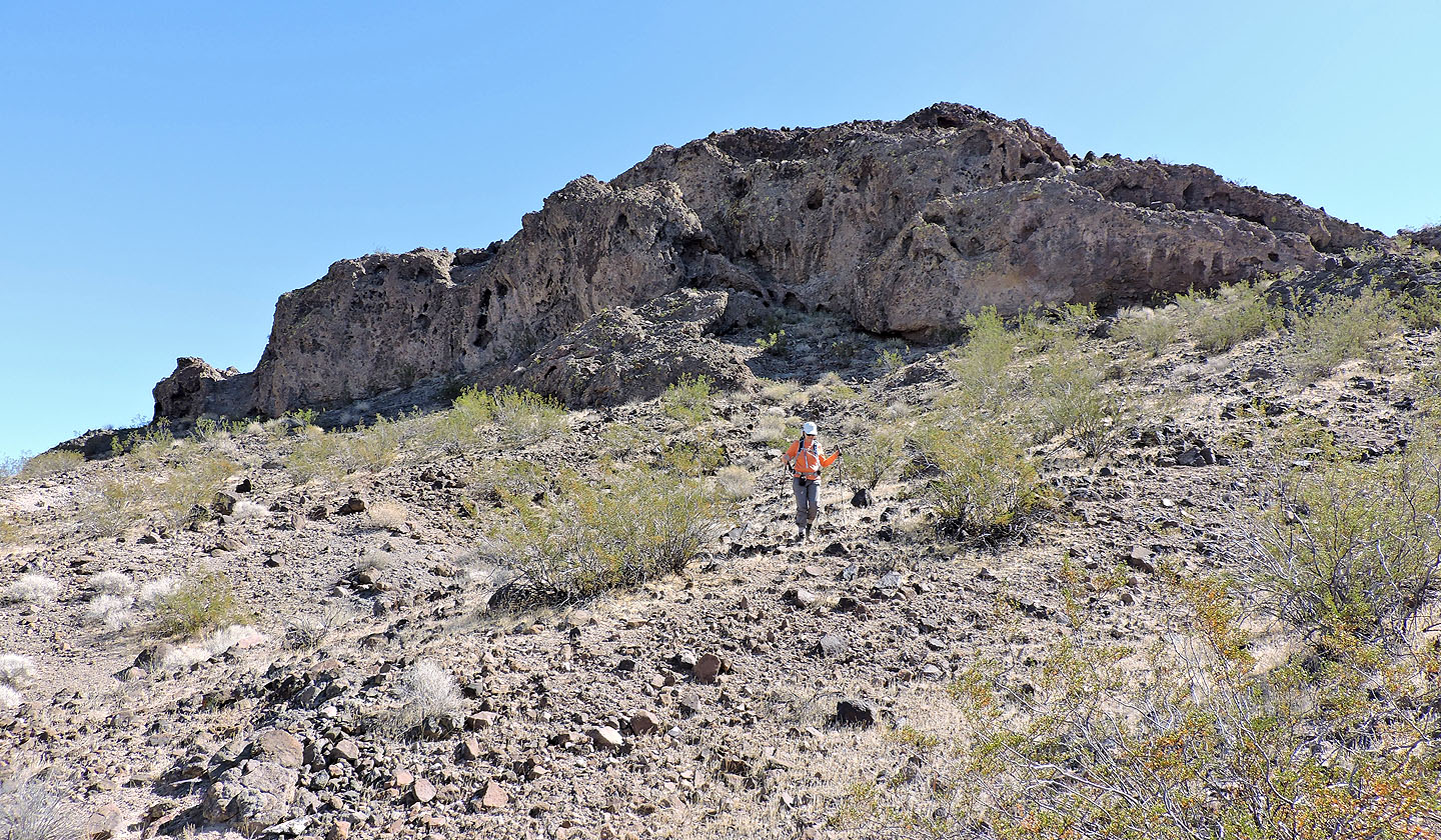
Looking back at some gnarly-looking rock we passed under
Peak 791 appears easy to ascend from the col but we didn't bother
Looking back at the col

Coming down the other side. The black dot above Dinah is our car.
Echo Bay and Middle Point (2.9 mi, 2667 ft, 535 ft)