bobspirko.ca | Home | Canada Trips | US Trips | Hiking | Snowshoeing | MAP | About
Razorback Ridge
Lake Mead NRA, Nevada
January 14, 2019
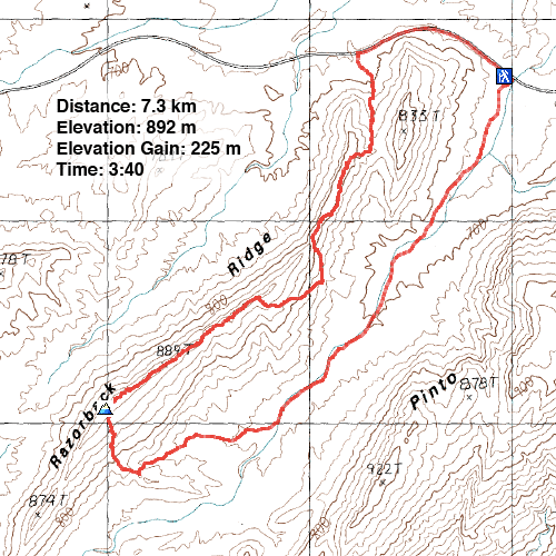
Distance: 7.3 km (4.5 mi)
Cumulative Elevation Gain: 316 m (1037 ft)
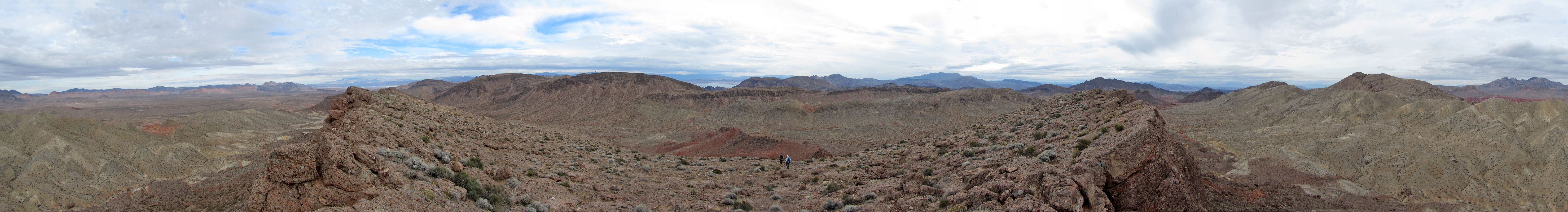
On Google Earth, Razorback Ridge looks like a pleasant ridgewalk. Actually, the ridge comes in like a lion and goes out like a lamb, beginning with steep slabs and ending with gentle terrain before the summit.
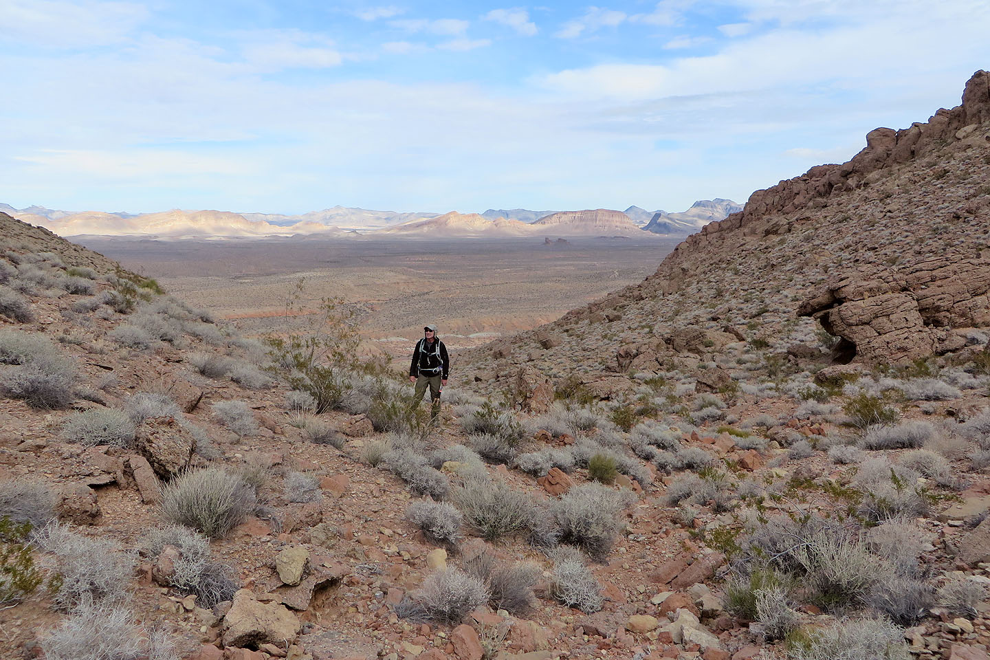
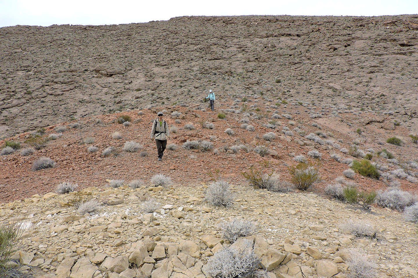
Shin, Dinah and I started from a pullout at the north end of the ridge. We walked up the highway a short way and after passing an outlier, we set off through an interesting boulder field. We headed to the saddle between the outlier and Razorback Ridge.
We easily reached the saddle, but after that, climbing higher was more difficult because of steep slabs. We reached the crest where we had an impressive view of Razorback as it stretched out before us, but we couldn't continue along the ridge. We dropped down the slope, and after skirting around the end of a cliff band, travel eased. We soon regained the ridge crest. The rest of the trip was an enjoyable hike.
As we neared the highest part of Razorback, we kept our eye on the elevation, trying to determine the highest point. We came across a small cairn only to find a slightly higher point further on. After a short break on the summit, we started down the east slope. The way down was clear and easy. Soon we were gliding down the wash in the valley bottom, heading back to our car.
Razorback Ridge is best ascended halfway along the ridge, but we found the north half of the ridge engaging, and it offered the best view of the entire ridge.
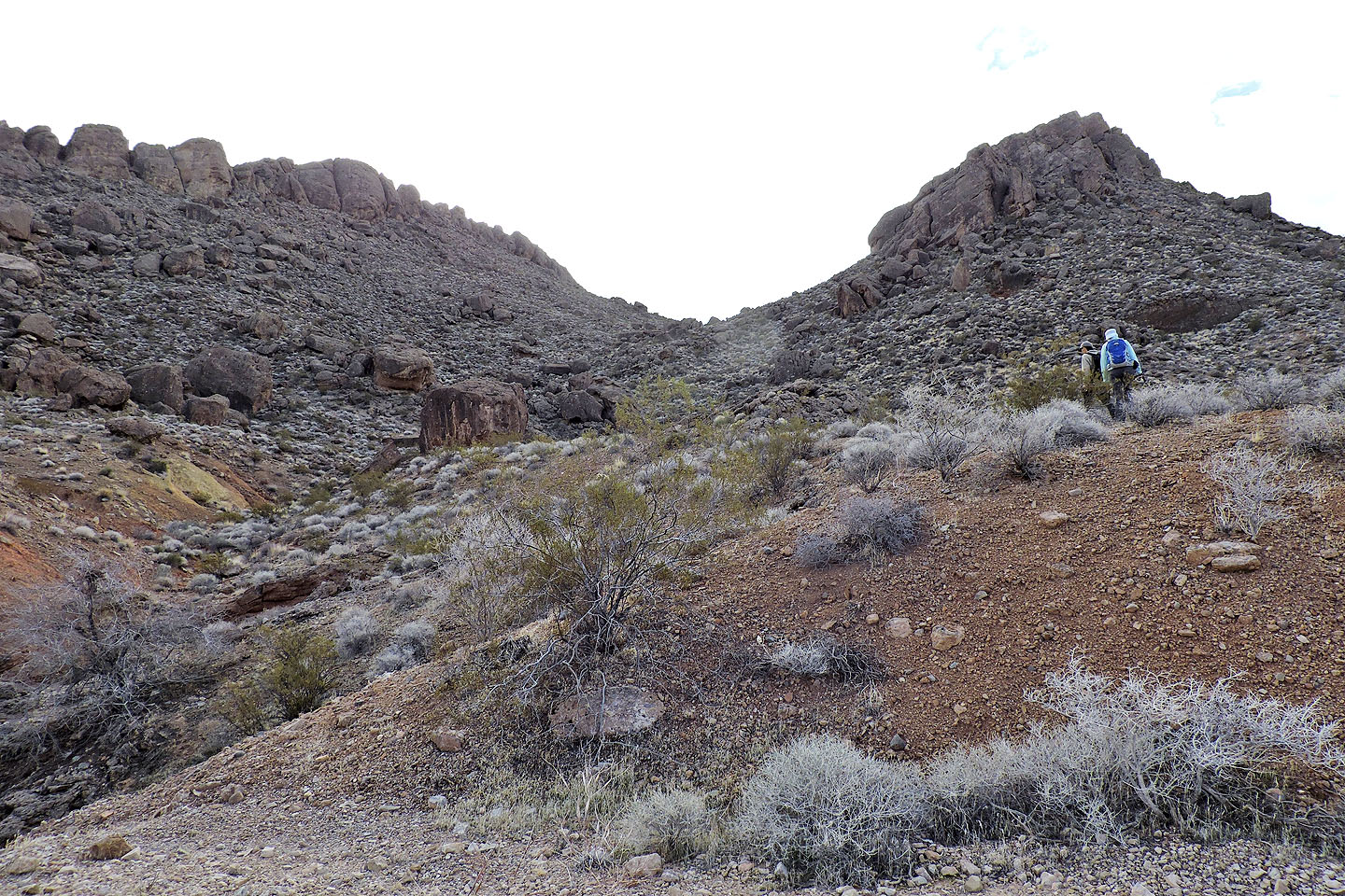
From the highway, we headed to a saddle
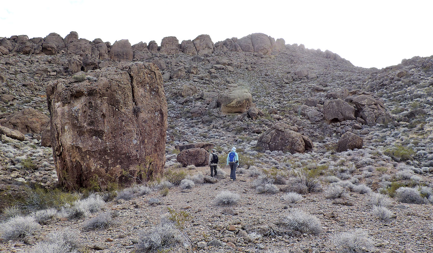
Along the way, we passed impressive boulders
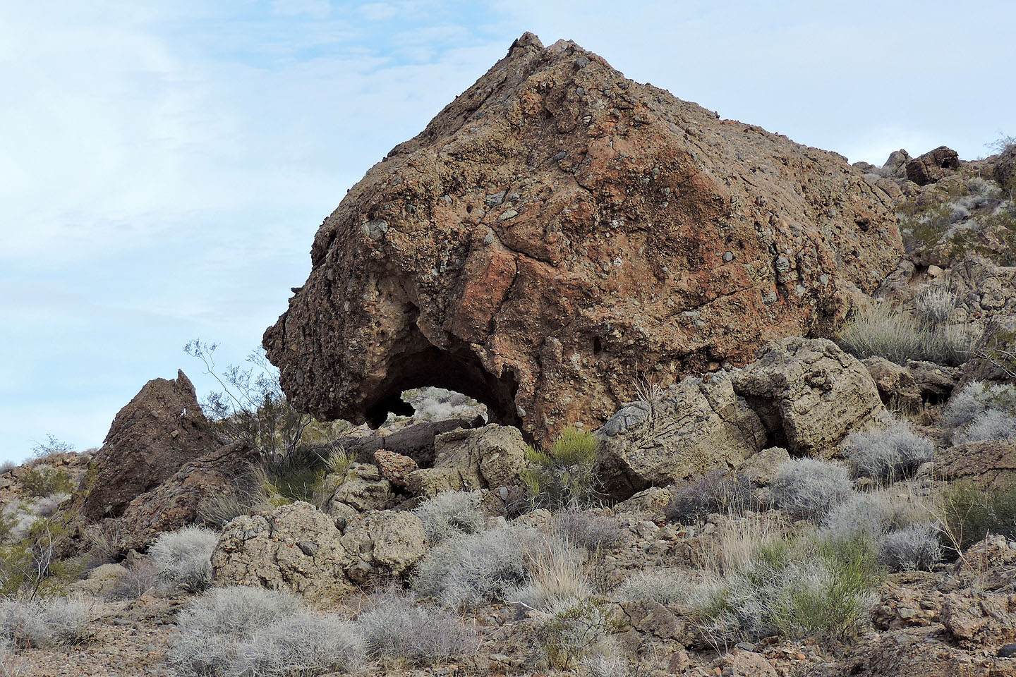
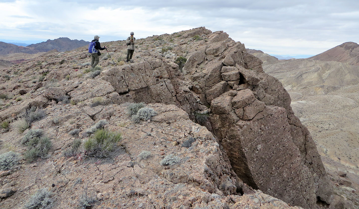
This one looked like a cat's head with open jaws
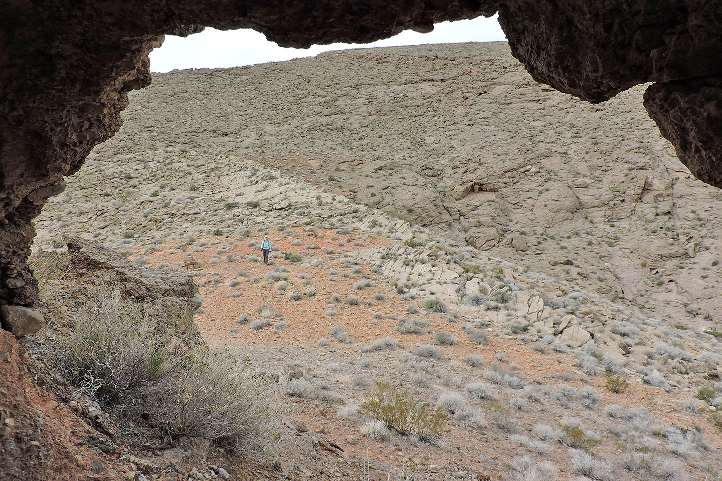
Looking back
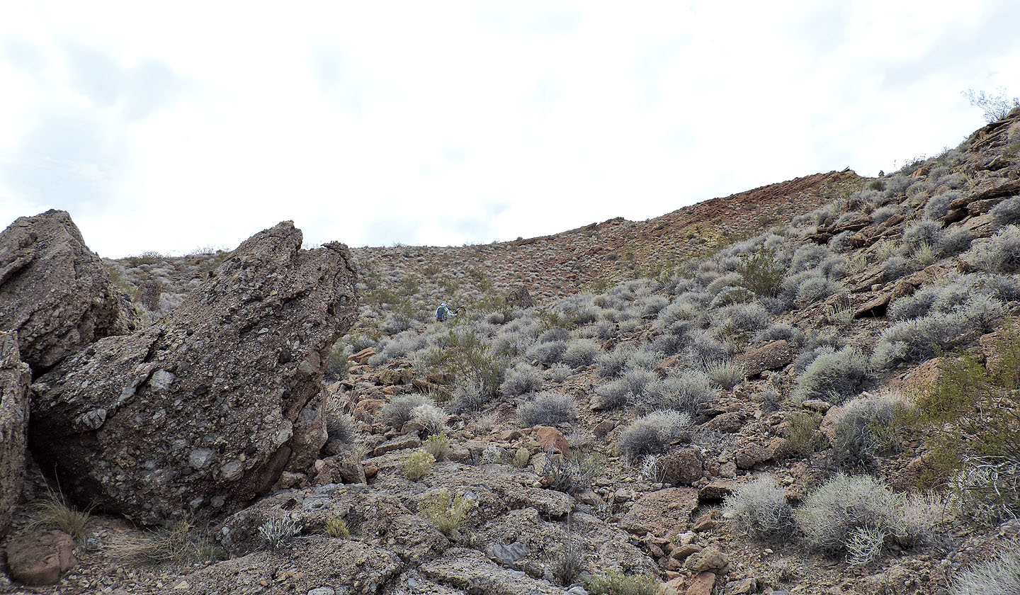
We headed to the spur ahead
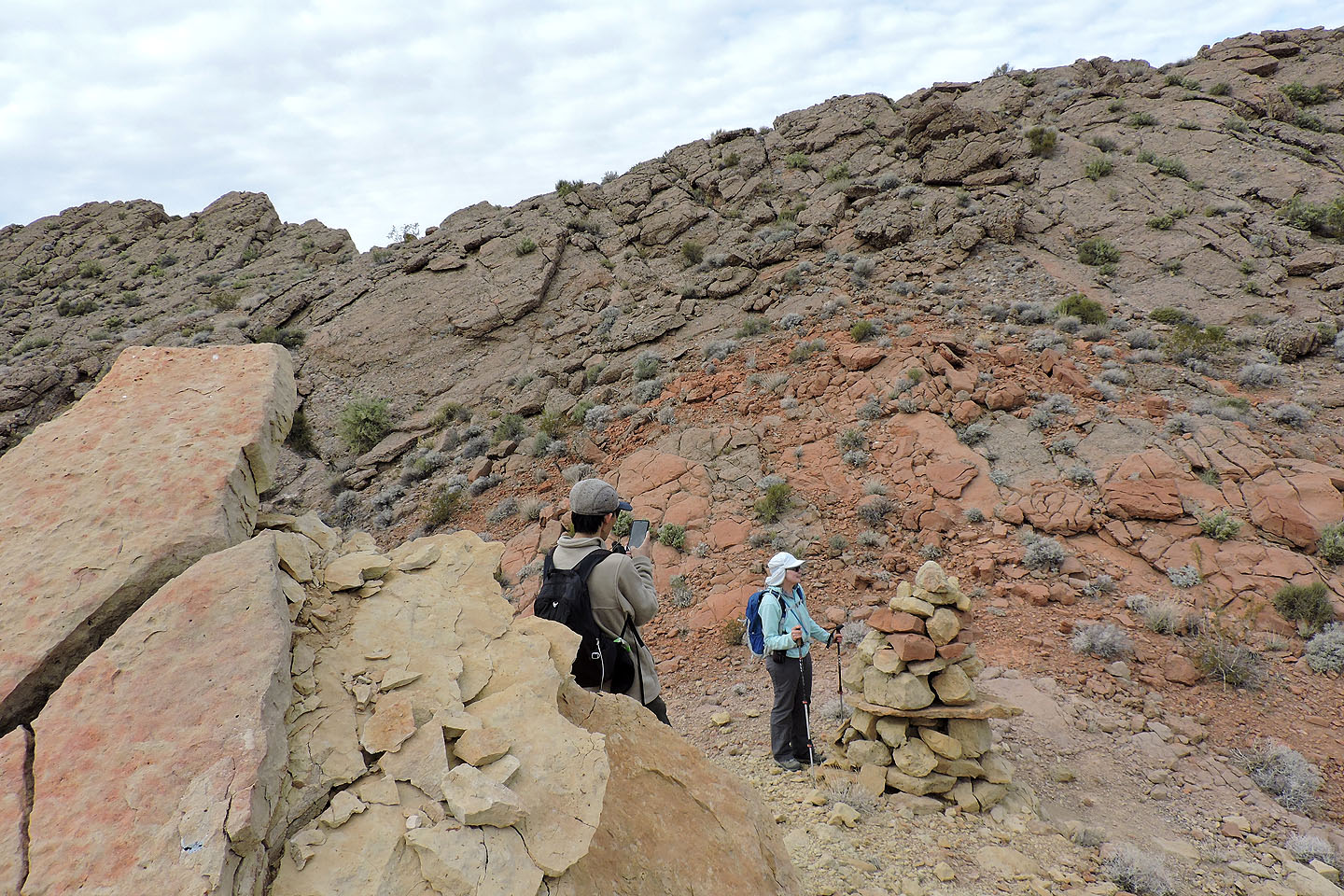
On the saddle we found a huge but meaningless cairn
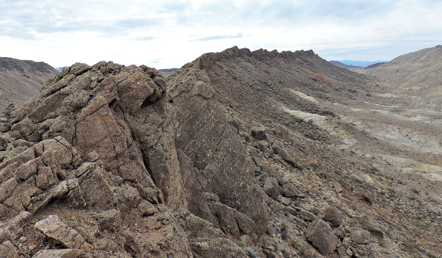
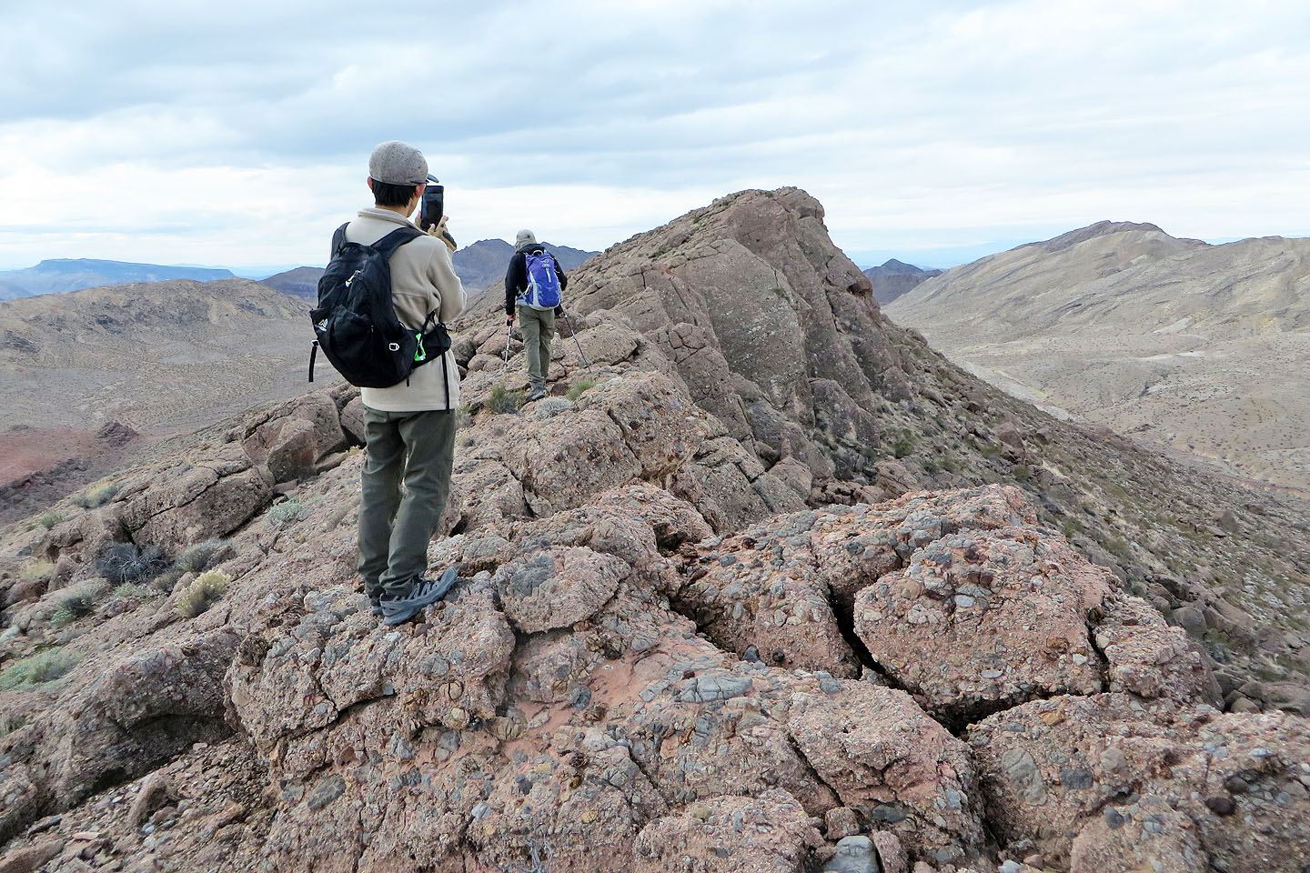
The ridge is long and jagged
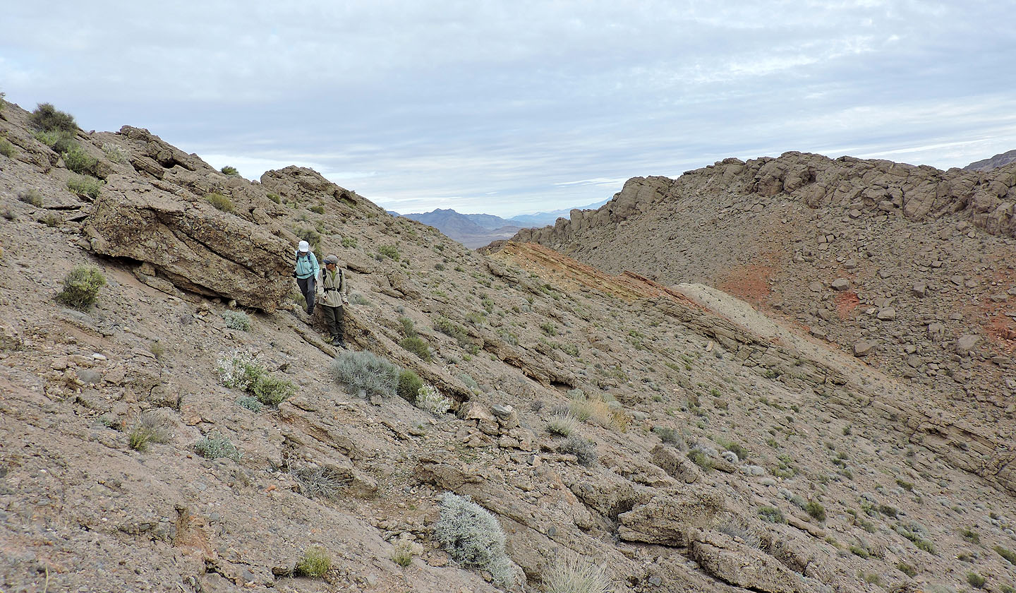
We couldn't follow the ridge crest and the steep slope wasn't easy to traverse
We had to drop well down the slope because of the cliff band ahead
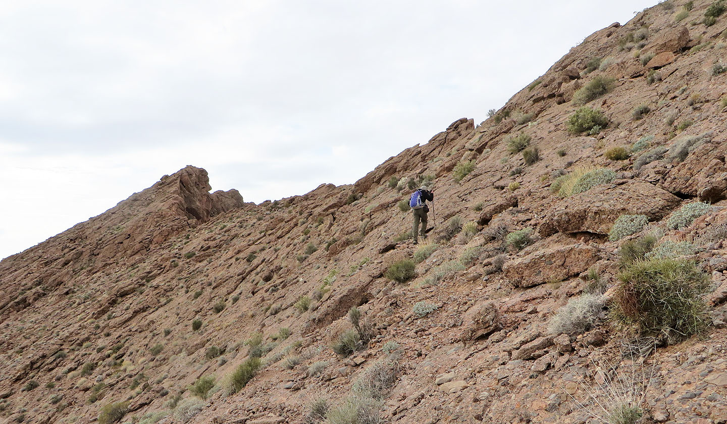
Thankfully, easier terrain was just around the corner
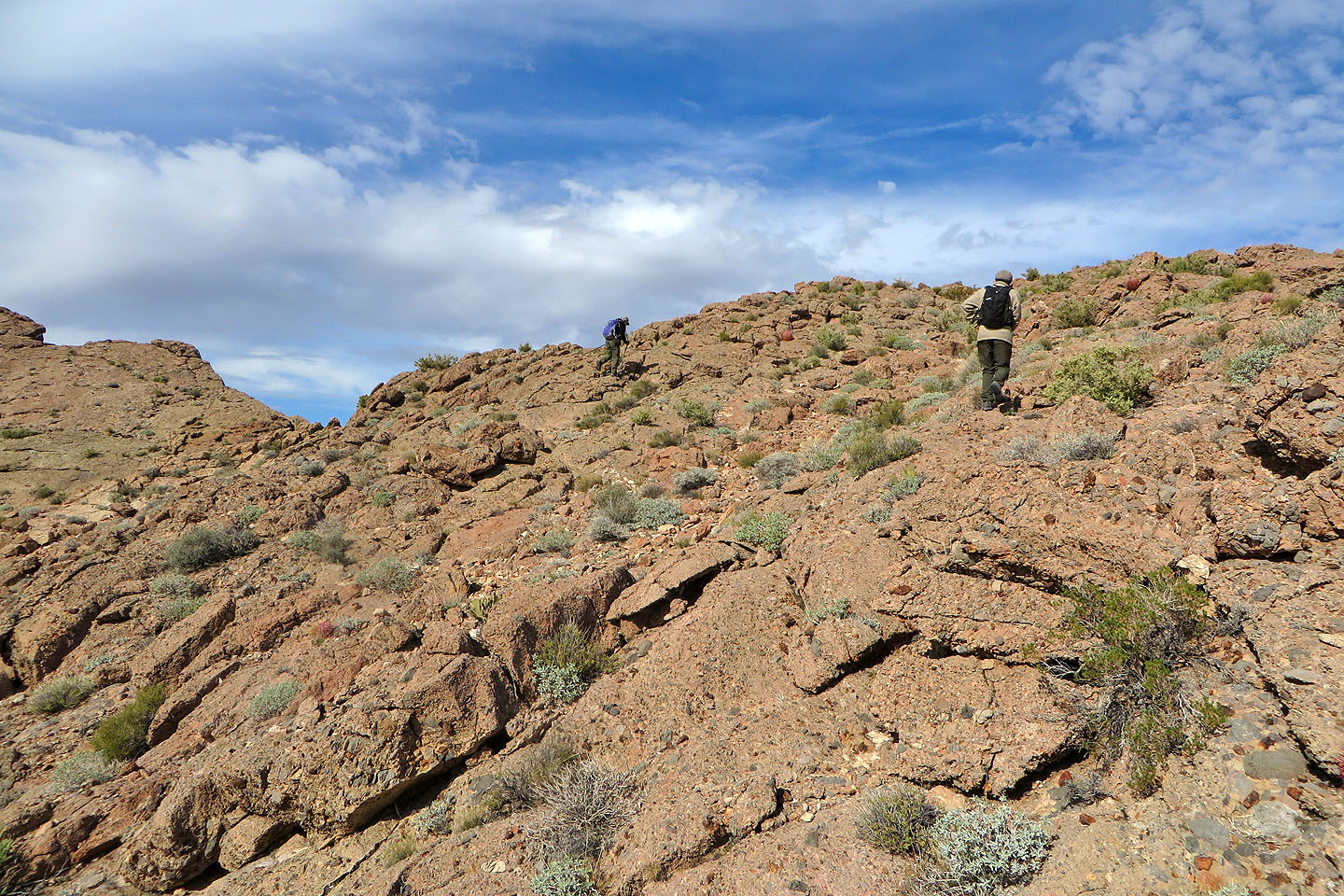
We headed to the ridge crest
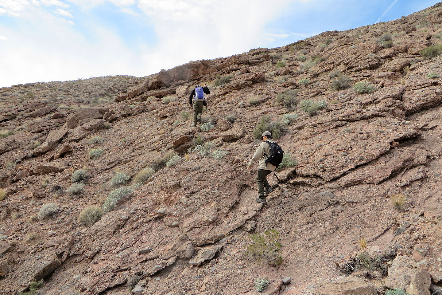
Back on the ridge
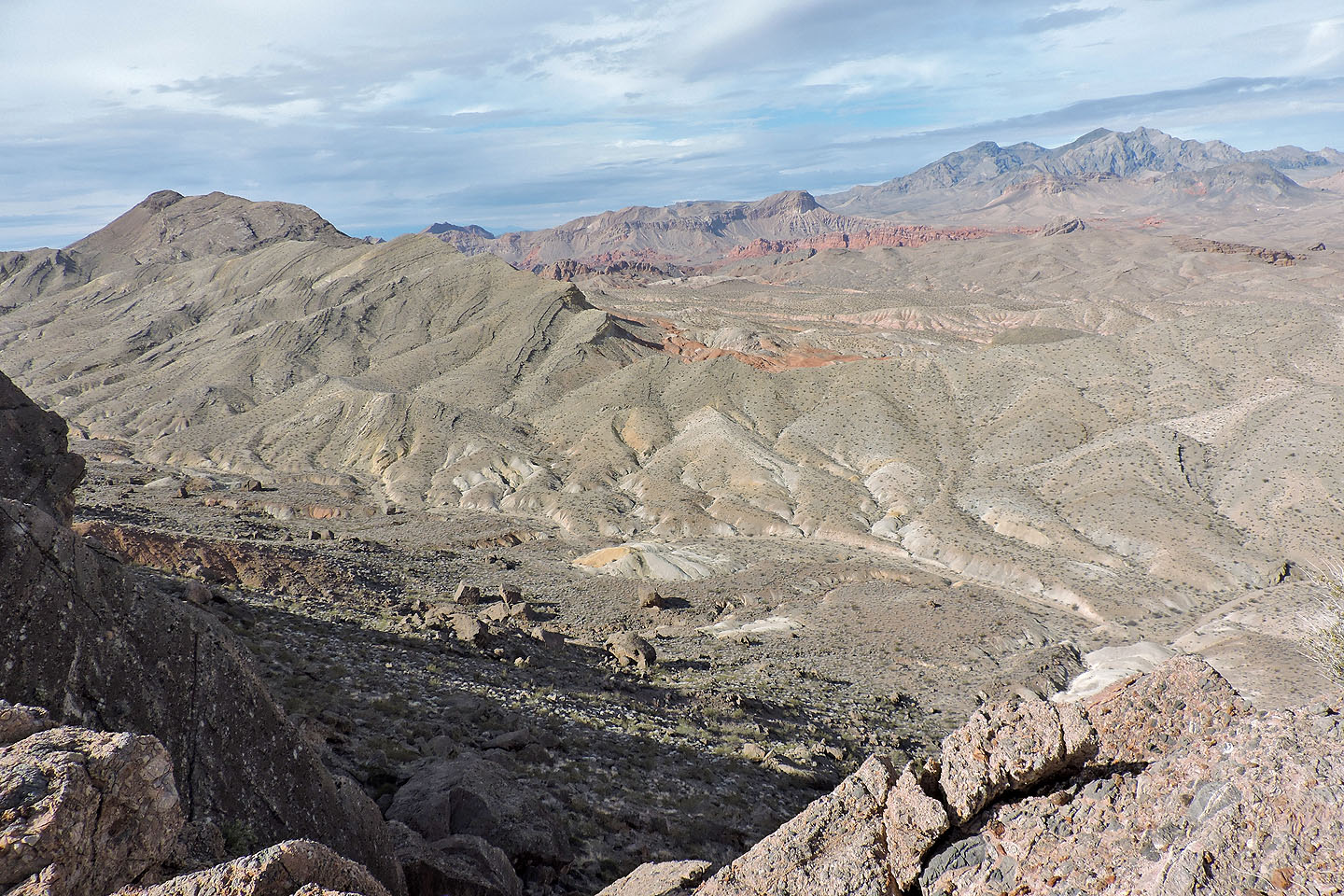
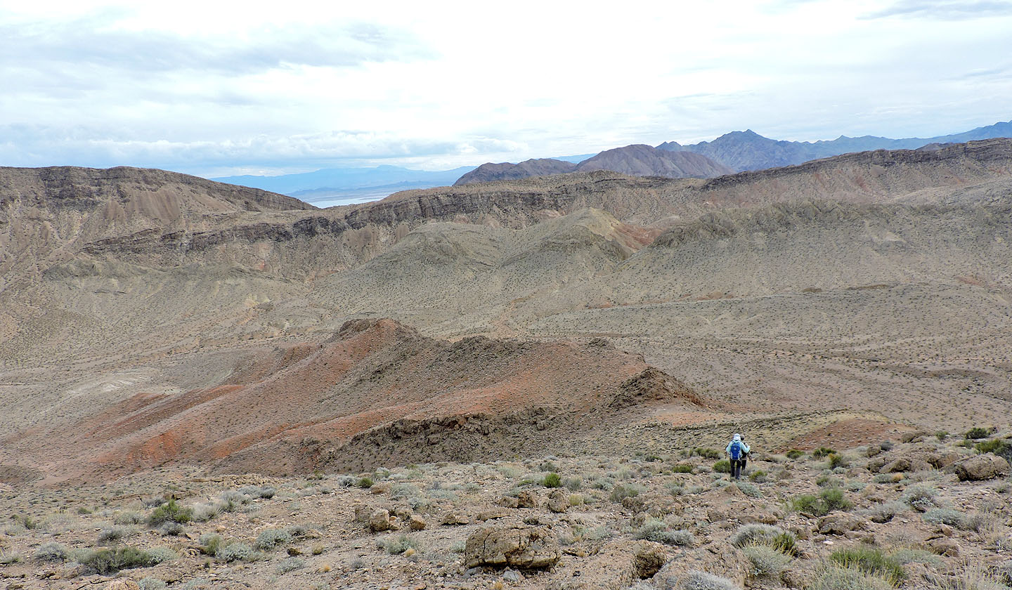
Looking across the valley. Left is Northshore Peak. Muddy Mountain and Muddy Peak on the right.
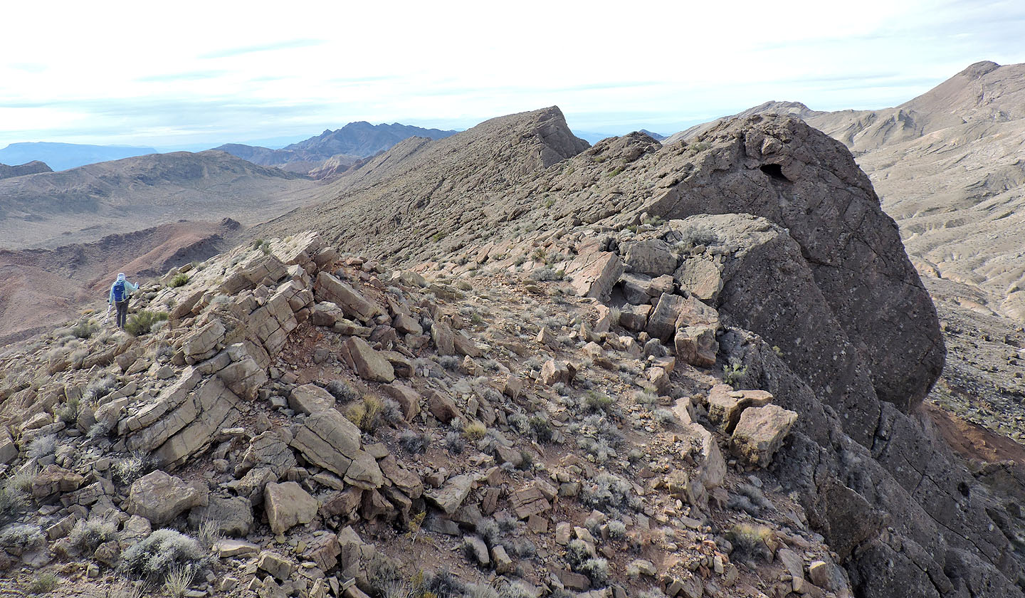
The highest point on Razorback appears in the distance
Looking back along the ridge
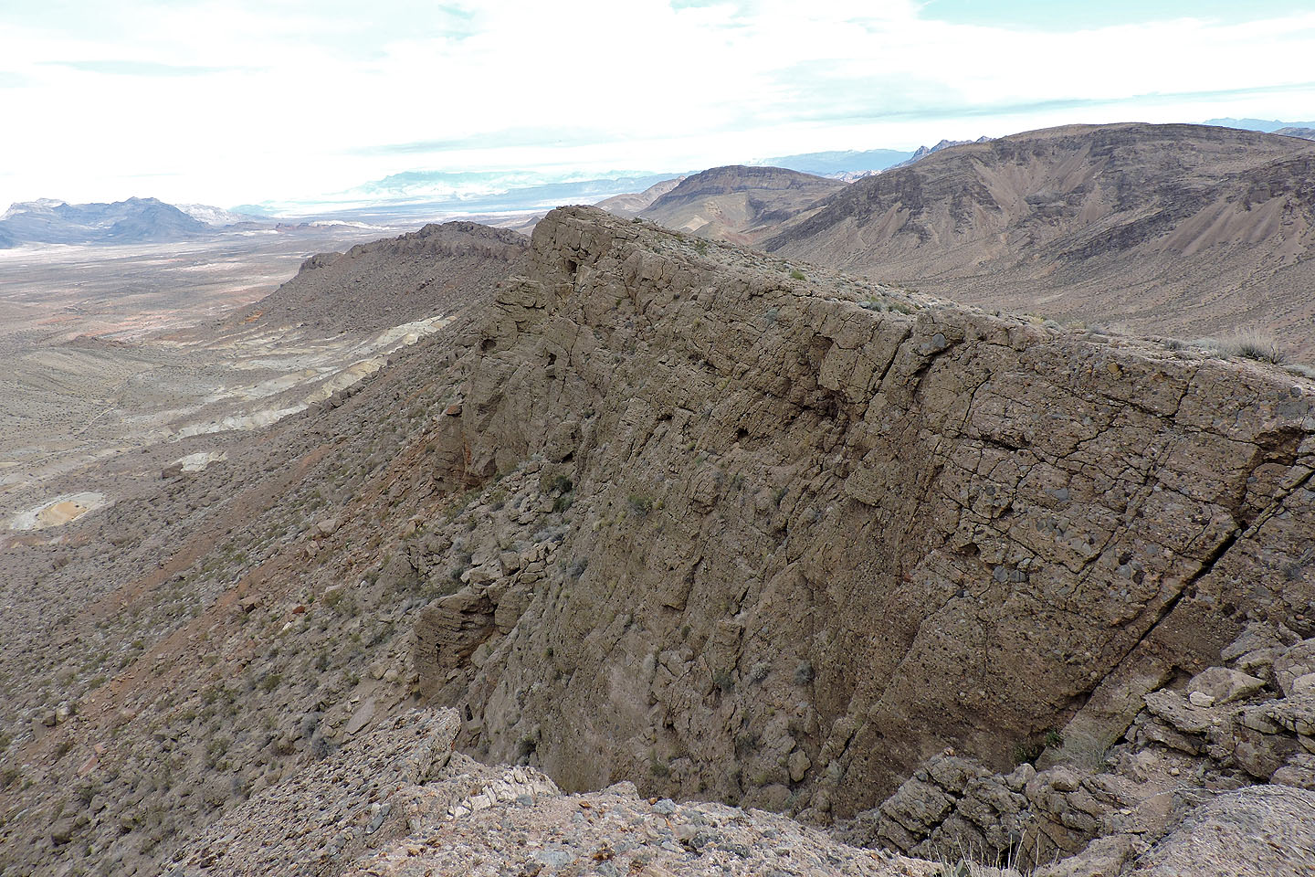
Closing in on the summit
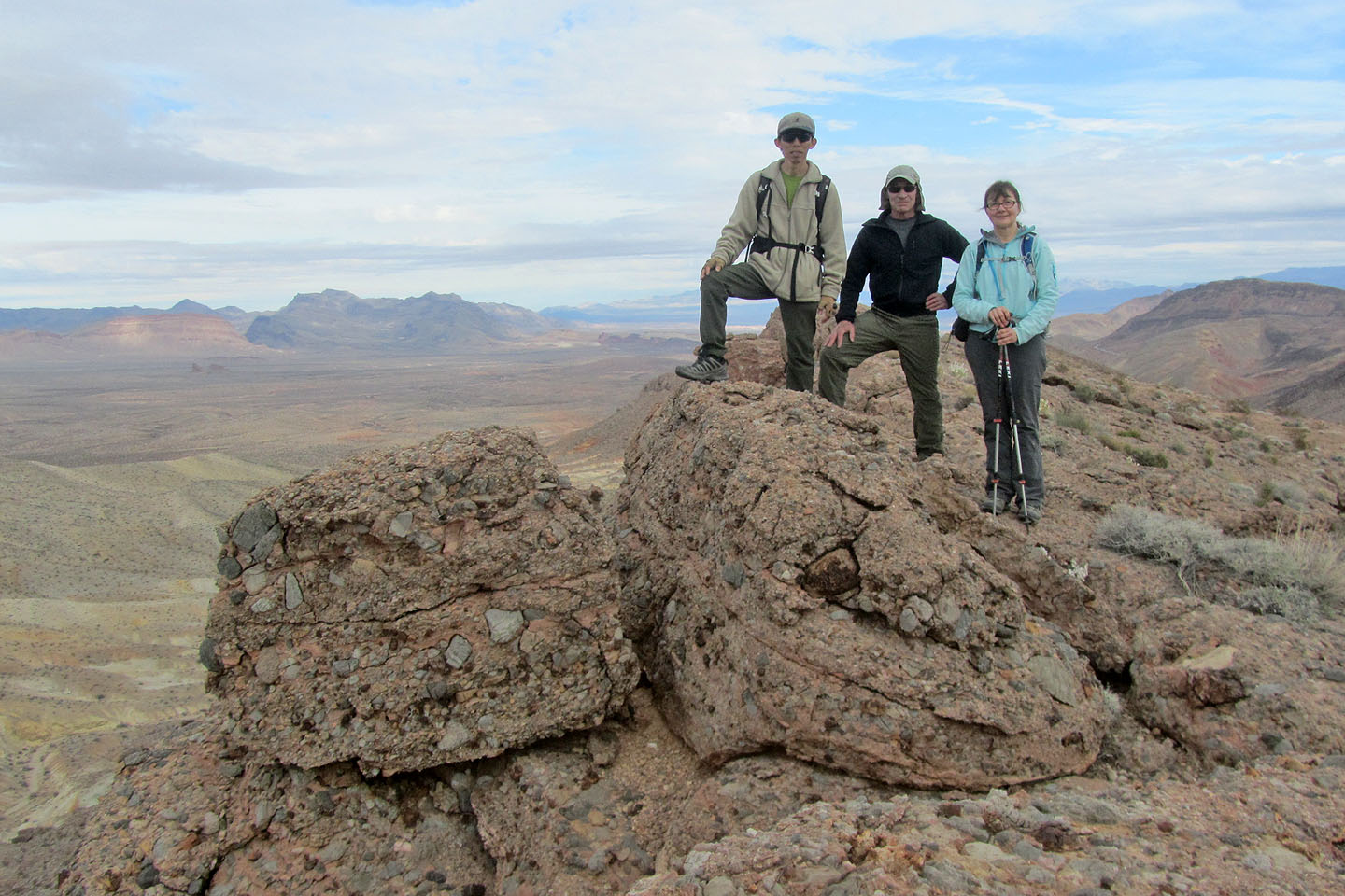
Standing on what we believe is the highest point
Dropping down to the valley
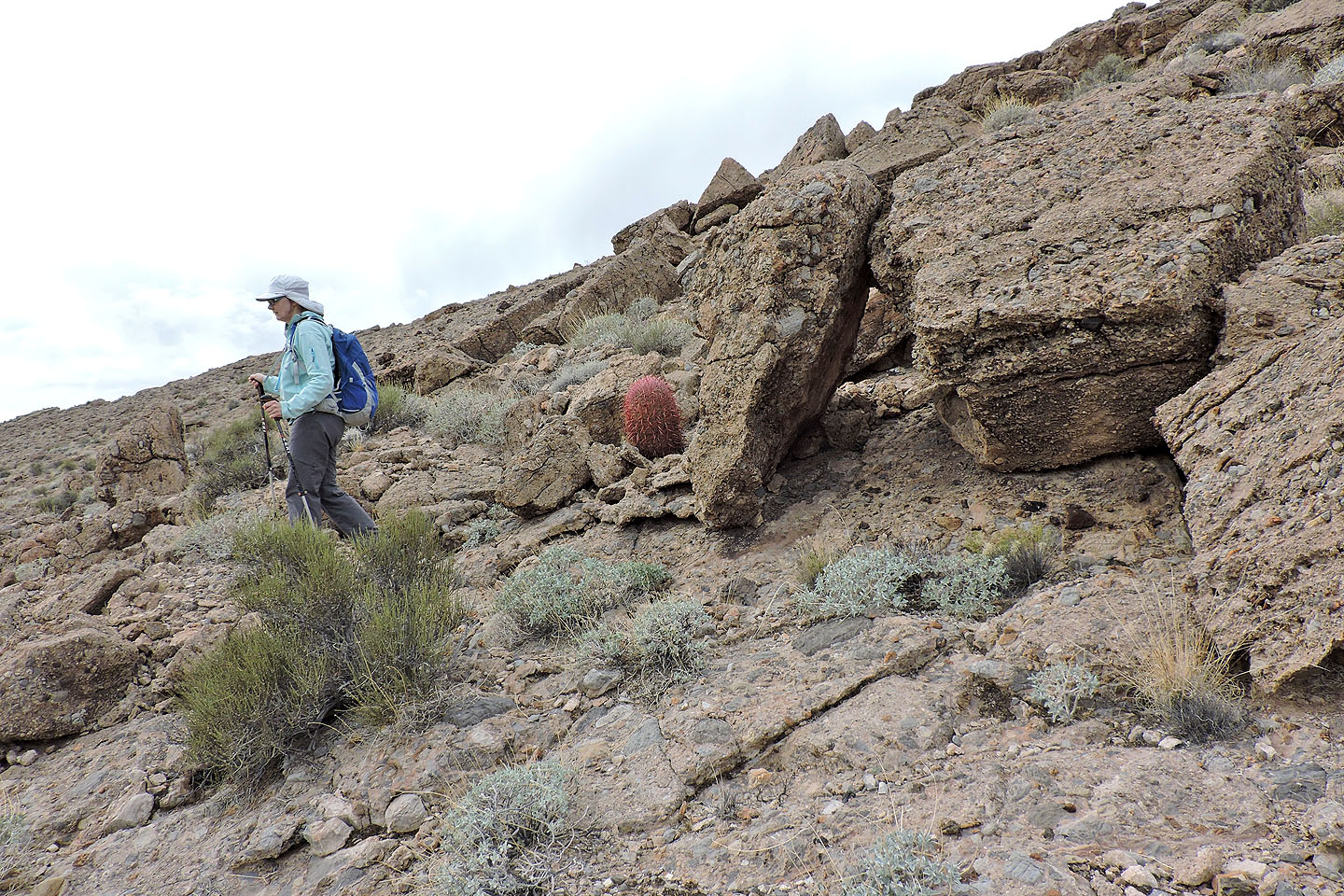
There were few cacti but this red barrel stood out
Looking back up the multicoloured slope
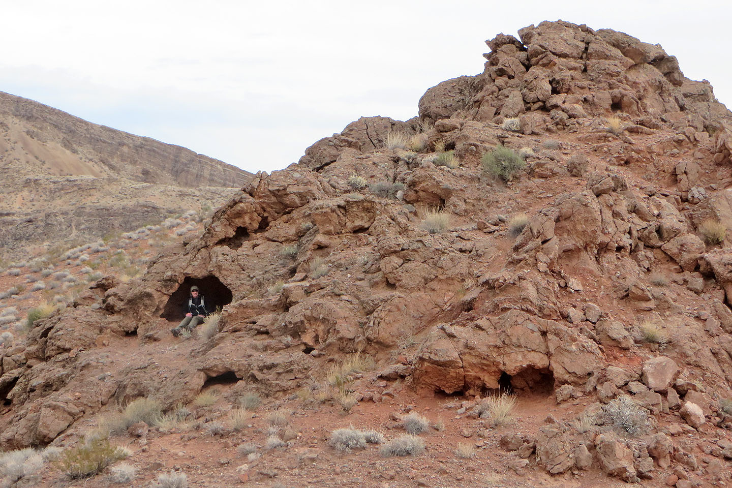
Resting in a shallow cave
Looking back up the slope
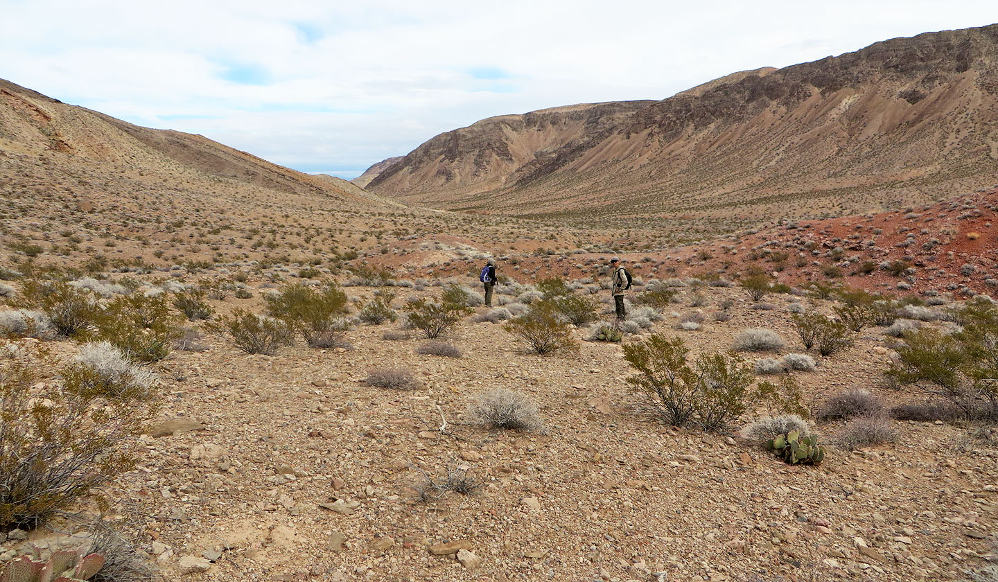
After reaching the valley we made our way to the wash. Pinto Ridge is on the right.
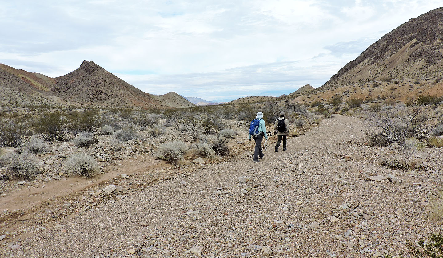
We followed the wash back to our car. Left is the saddle we reached at the start of our trip.
Boulder Canyon (4.5 mi, 2927 ft, 738 ft)