bobspirko.ca | Home | Canada Trips | US Trips | Hiking | Snowshoeing | MAP | About
Murphy’s Peak
Lake Mead NRA, Nevada
January 18, 2013
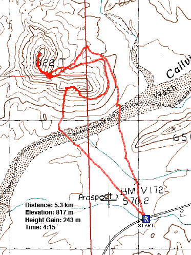
Distance: 5.3 km (3.3 mi)
Cumulative Elevation Gain: 356 m (1168 ft)
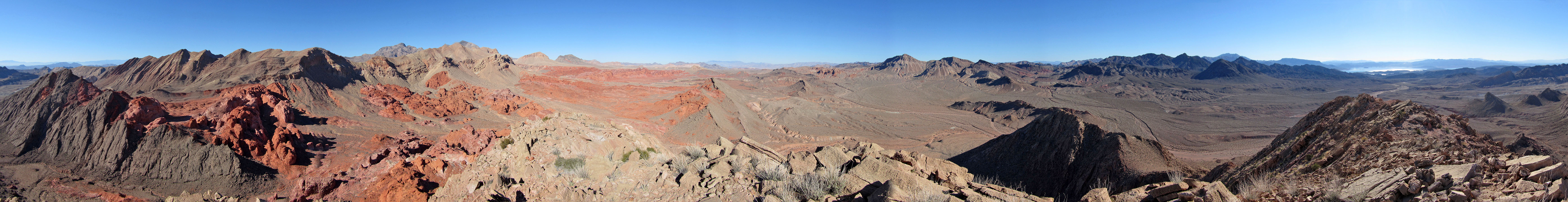
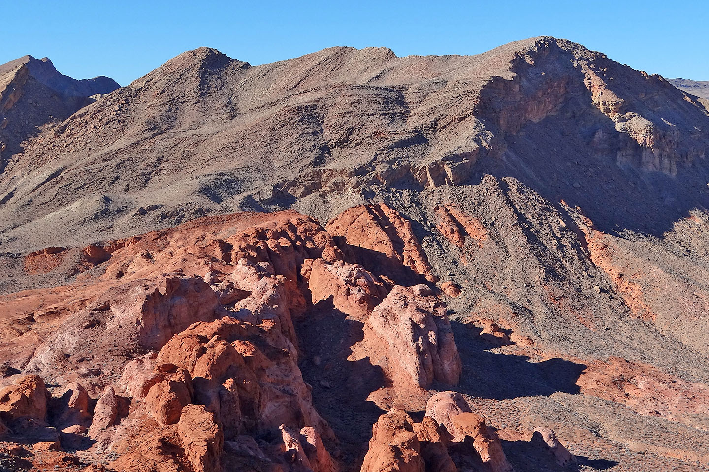
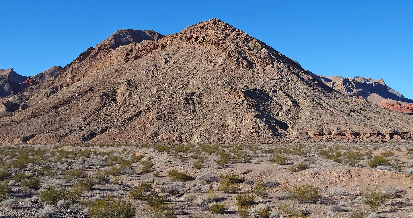
Among the many tiny desert peaks I've climbed, none have been more engaging than Murphy's Peak. Hands down, it has the best scrambling and route-finding challenges and the best scenery for its size. It offers what must be an unrivalled view of the Bowl of Fire, a vast expanse of crimson sandstone.
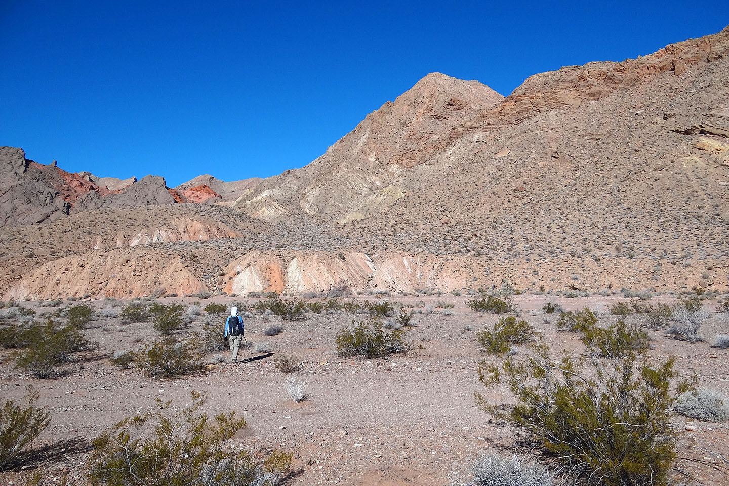
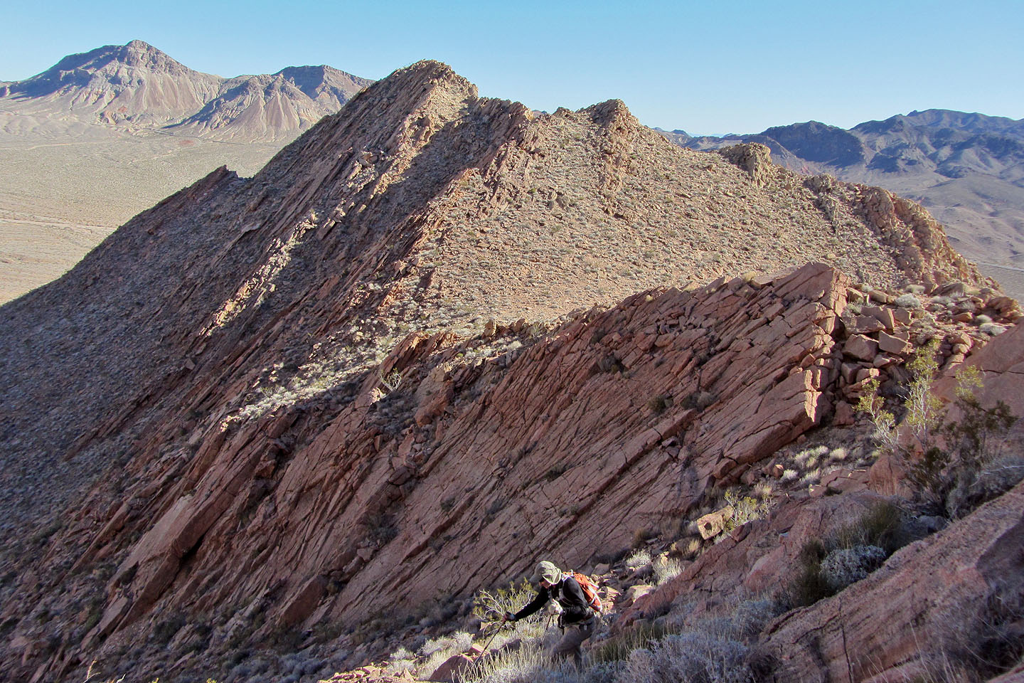
To get to Murphy's Peak, Dinah and I parked at a pullout south of the mountain on Northshore Road and set off across the desert flats. On reaching the base of the mountain, we hiked up the rubbly south slope to the jumble of steep rocks that guarded the ridgeline. Here Dinah hesitated. Understandable as the route angled sharply up a ramp which felt exposed on the left side. It's a class 3 scramble, and a couple of cairns assured us we were on track. But after climbing partway up I turned back. Knowing my partner, it would be beyond her comfort level.
We decided to circle the mountain to see if we could reach the ridge from the other side. Sure enough, after rounding a bend, the summit came into view along with a rock-filled wash that stretched to the ridge crest. Unlike the other side, we could hike to the ridgeline.
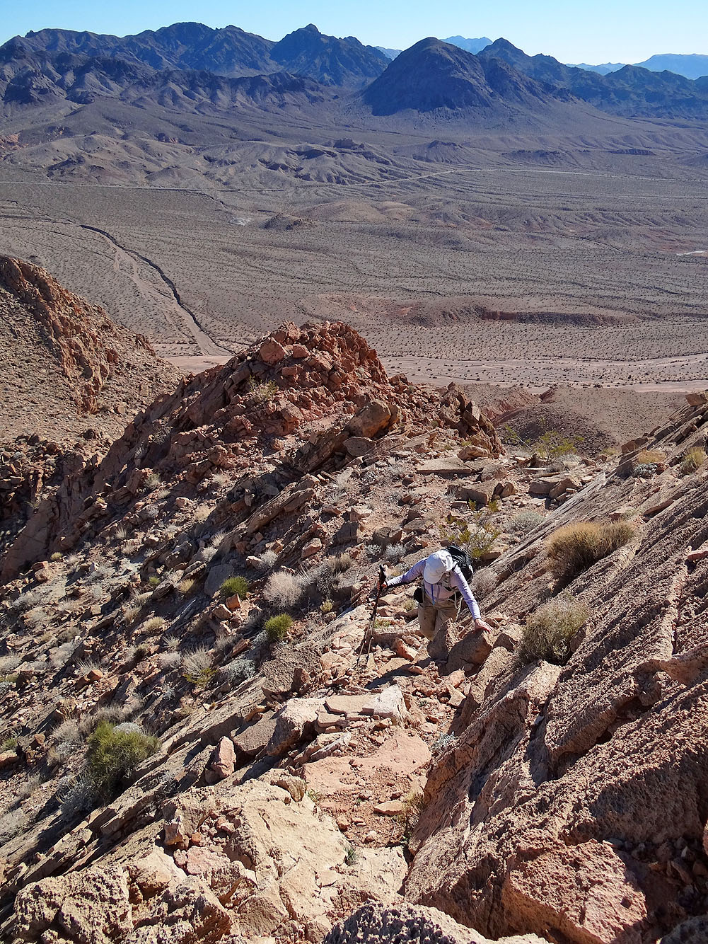
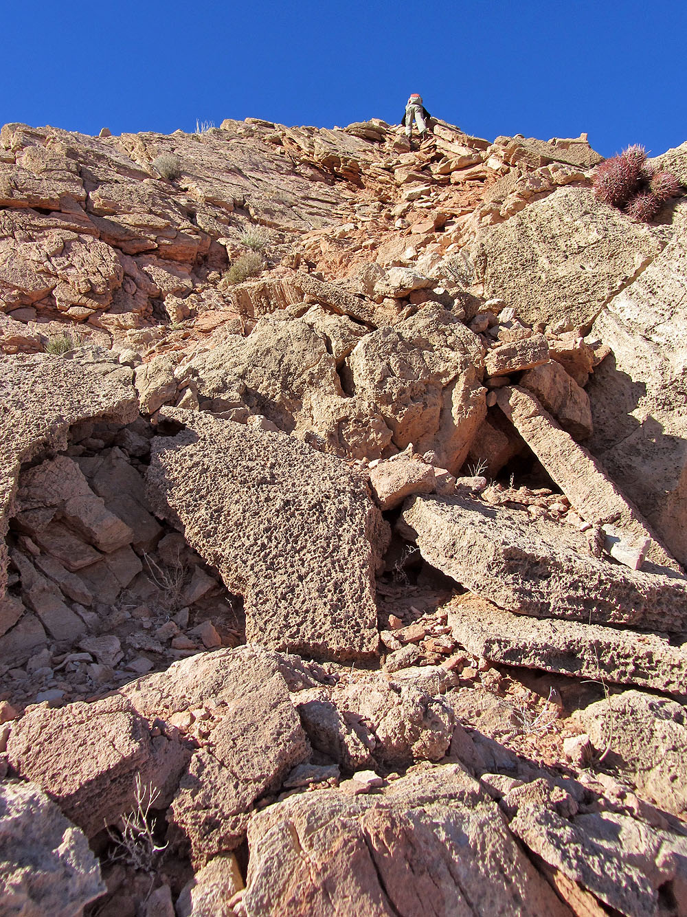
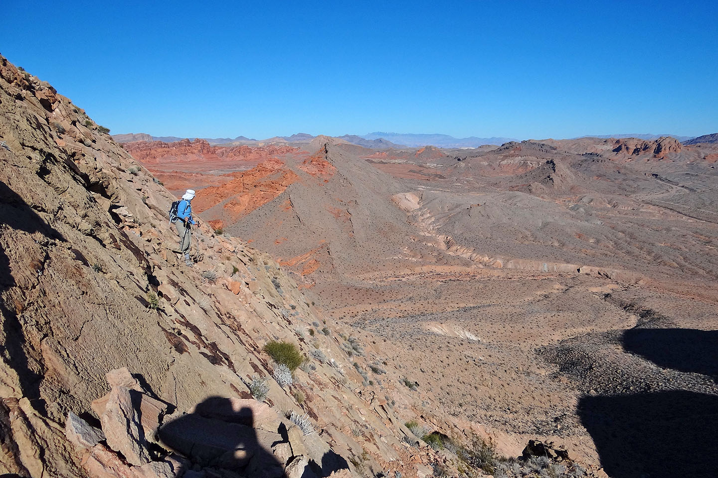
After gaining the ridge, however, we realized we had to backtrack a bit and ascend steep rock slabs. Further on, we encountered more steep rock and plenty of scrambling. Now, though, Dinah declared she had had enough scrambling. While she waited, I continued climbing, mostly following the ridgeline. A few dozen metres before the summit, the ridge levelled off and I walked to the summit cairn.
When it comes to mountains, size does matter. But for scramblers looking for a quickie, Murphy's Peak packs in a lot of adventure.
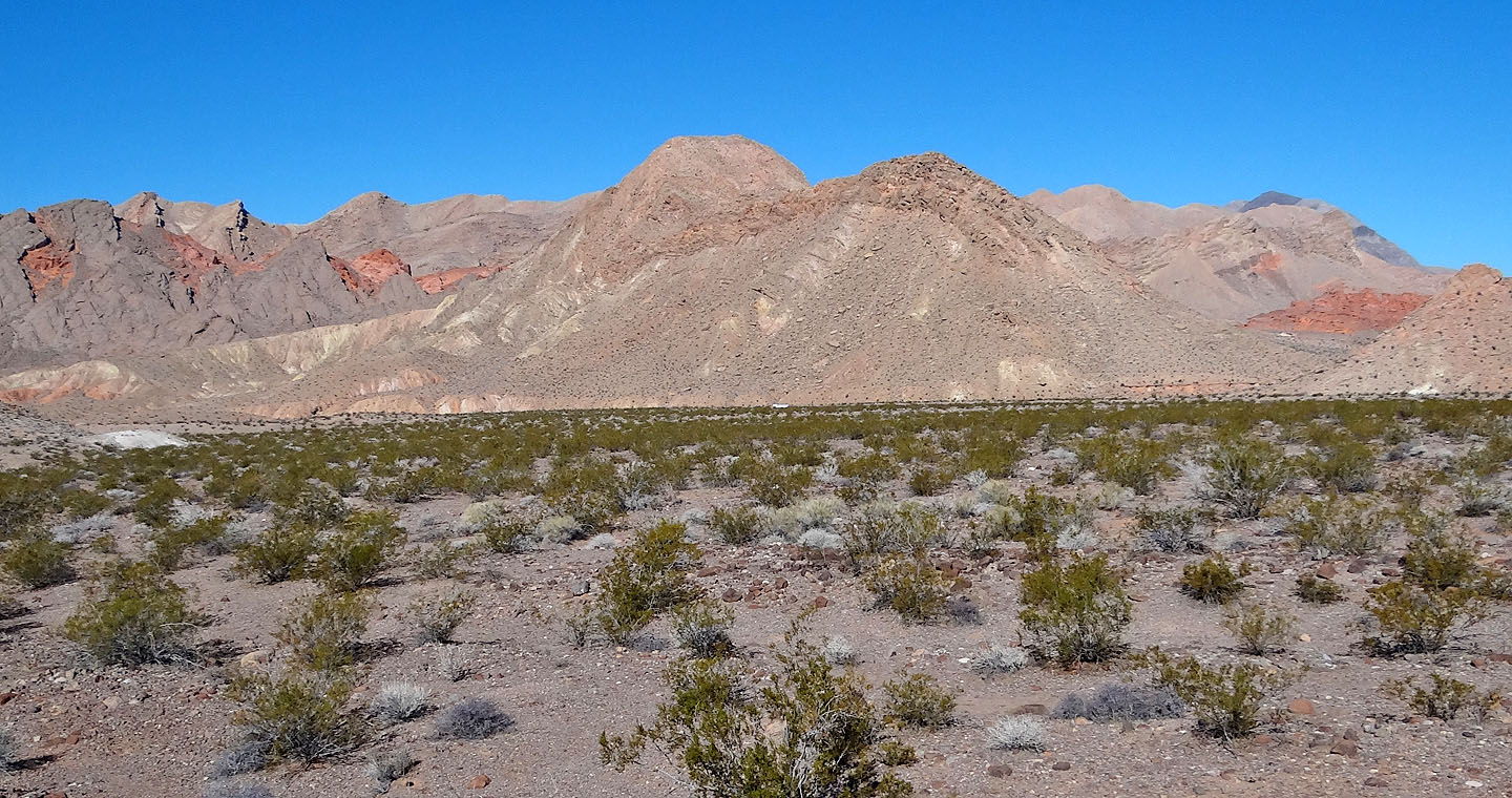
Murphy's Peak from the road
After ascending a break in the short cliffs ahead, we'll head up the slope on the right
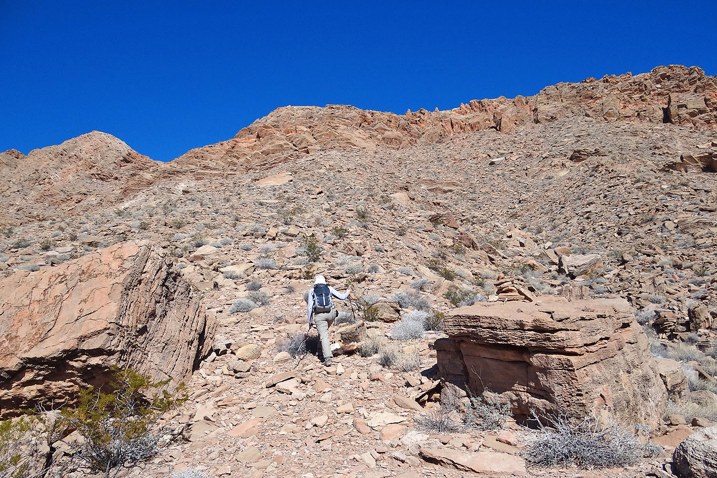
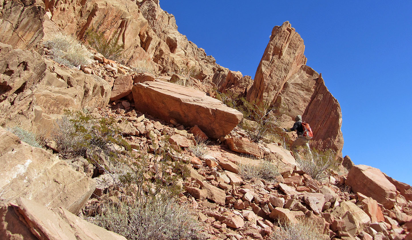
Starting up
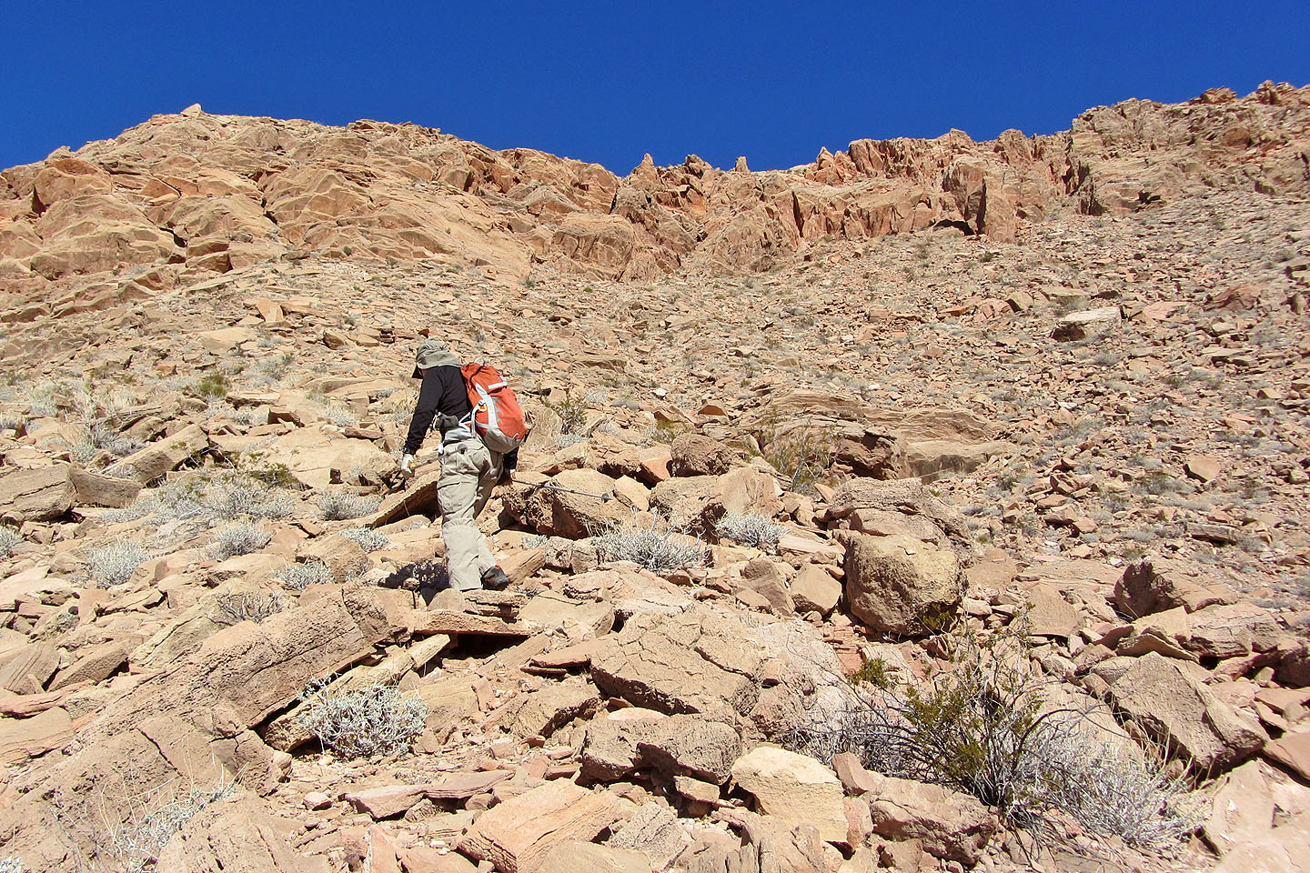
We headed to the three points in the centre of the skyline
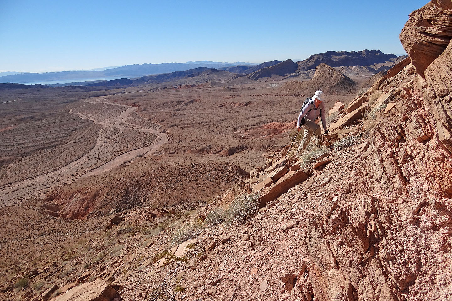
Looking down at Callville Wash
The route goes left at the wall of steep rock below the three rock points
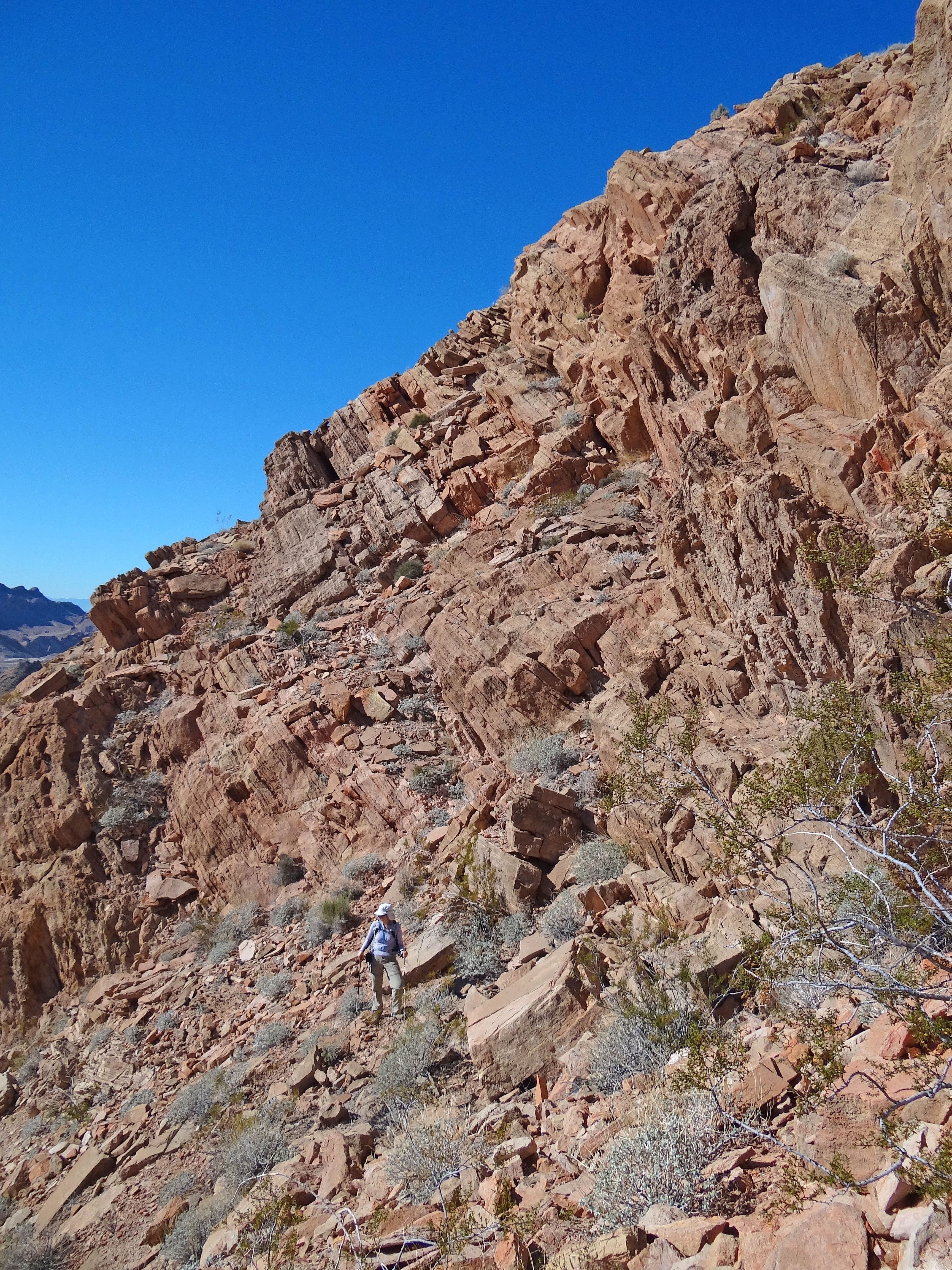
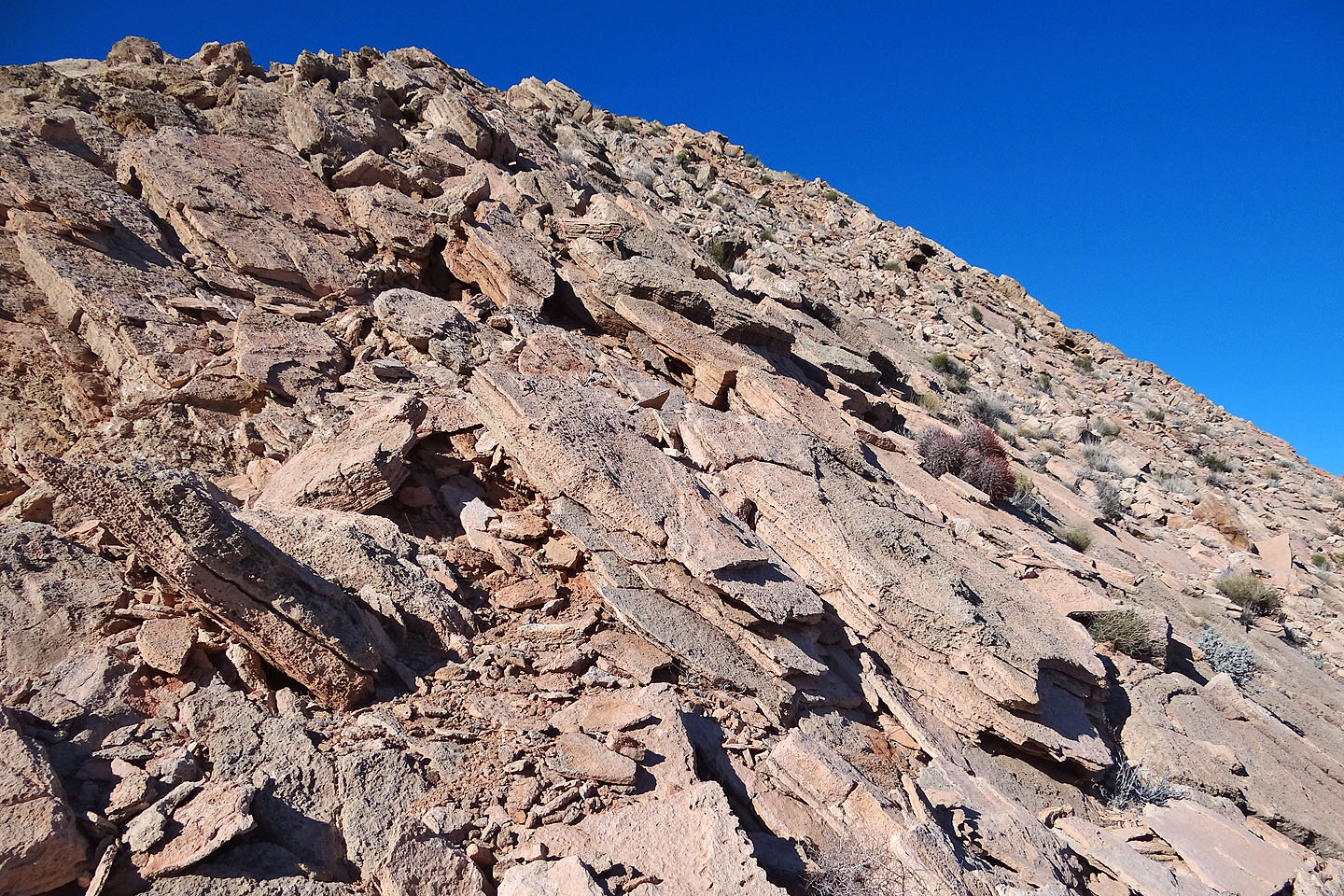
The route lies ahead on a ramp (steeper than it looks).
I scrambled partway before turning back.
Looking back: the route we abandoned appears behind Dinah
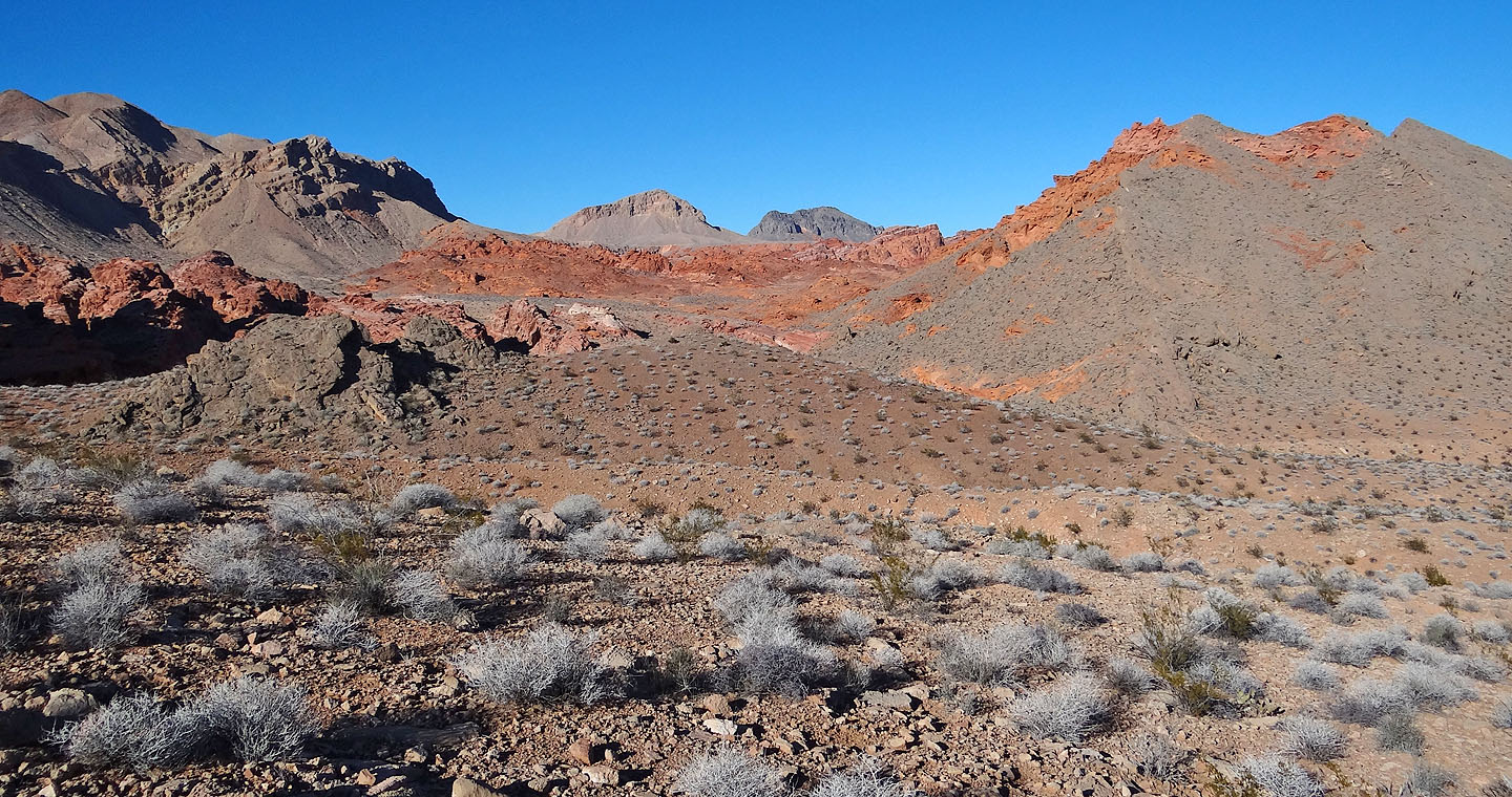
We started to work our way around the mountain
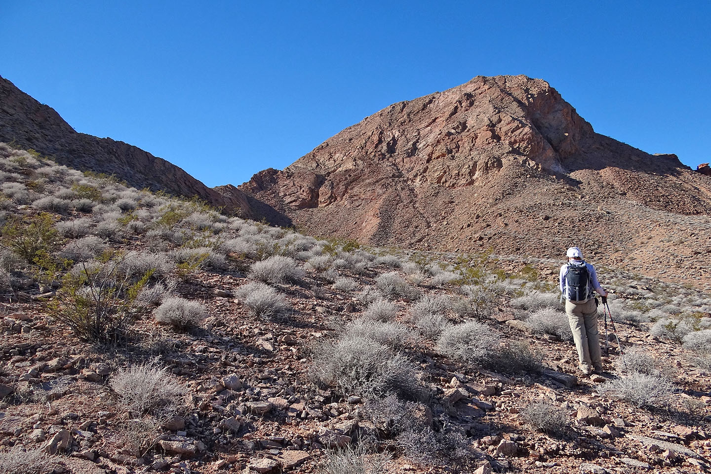
After circling the base of the mountain, we saw the summit and a way to gain the ridge
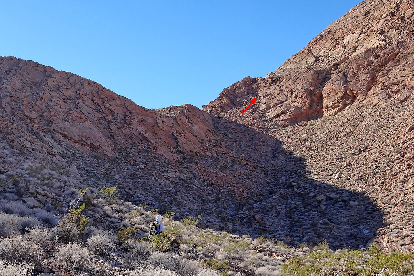
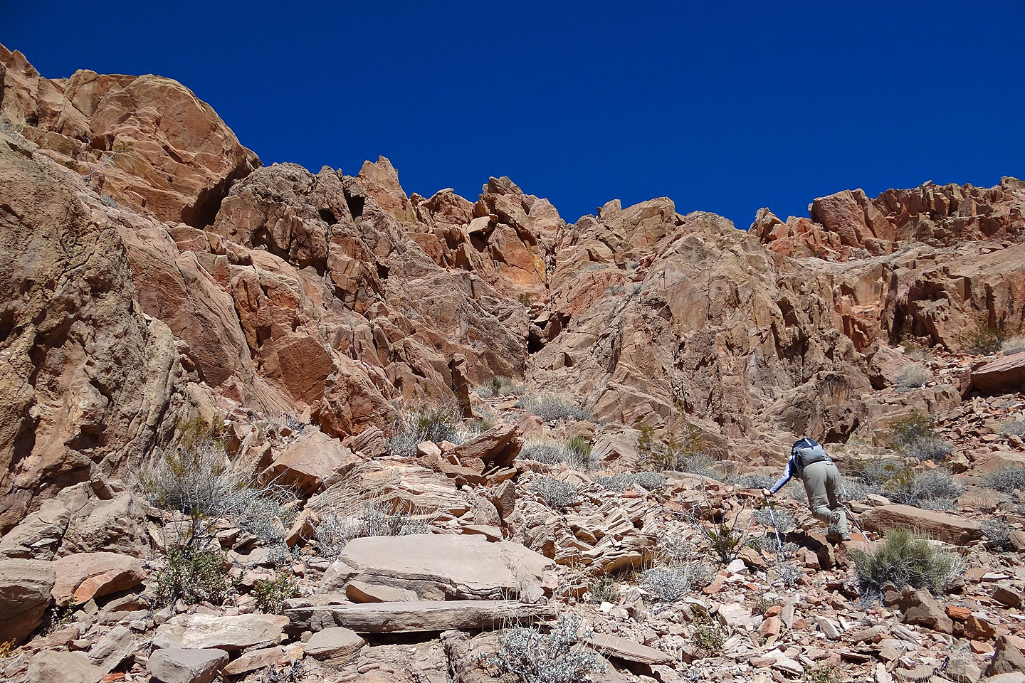
We followed the wash to a break in the cliffs
Looking back along the ridge
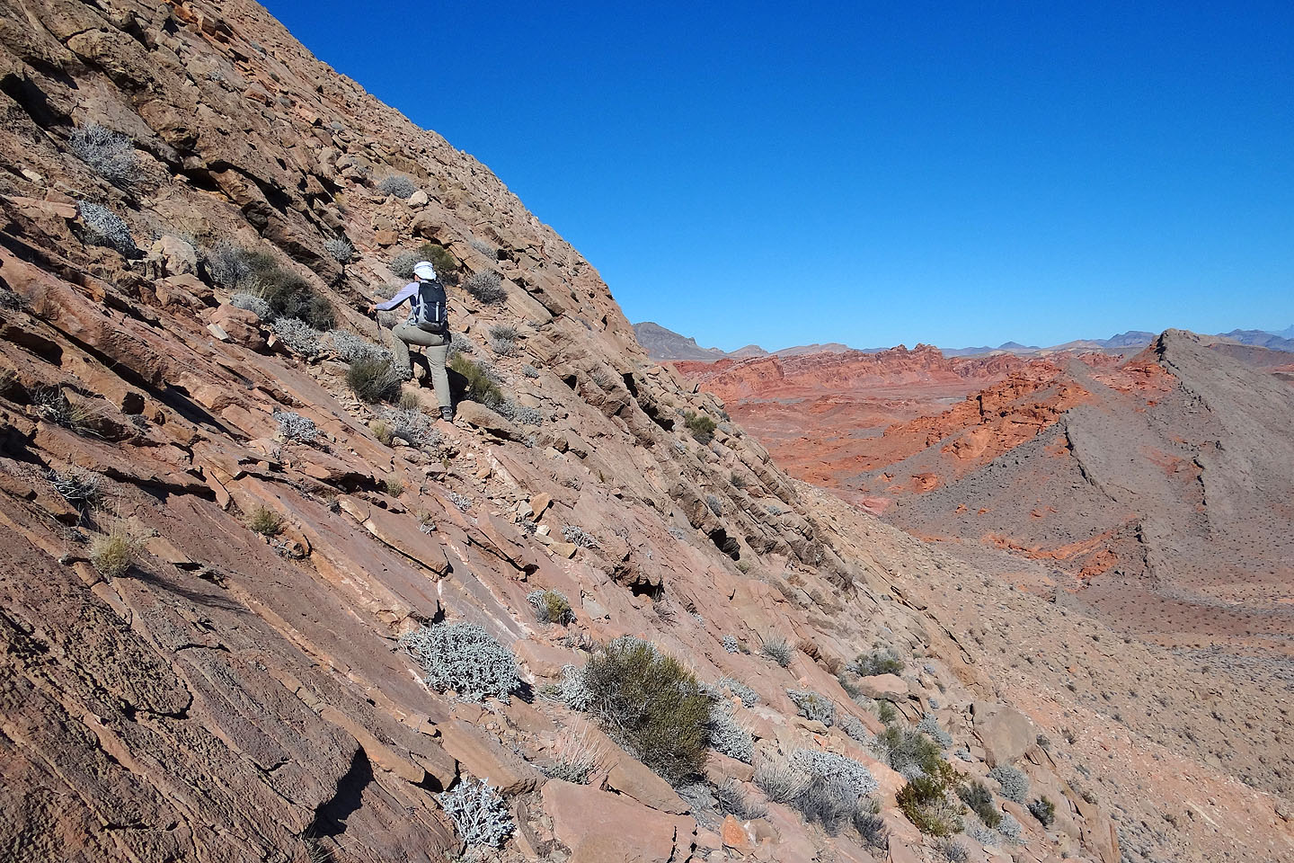
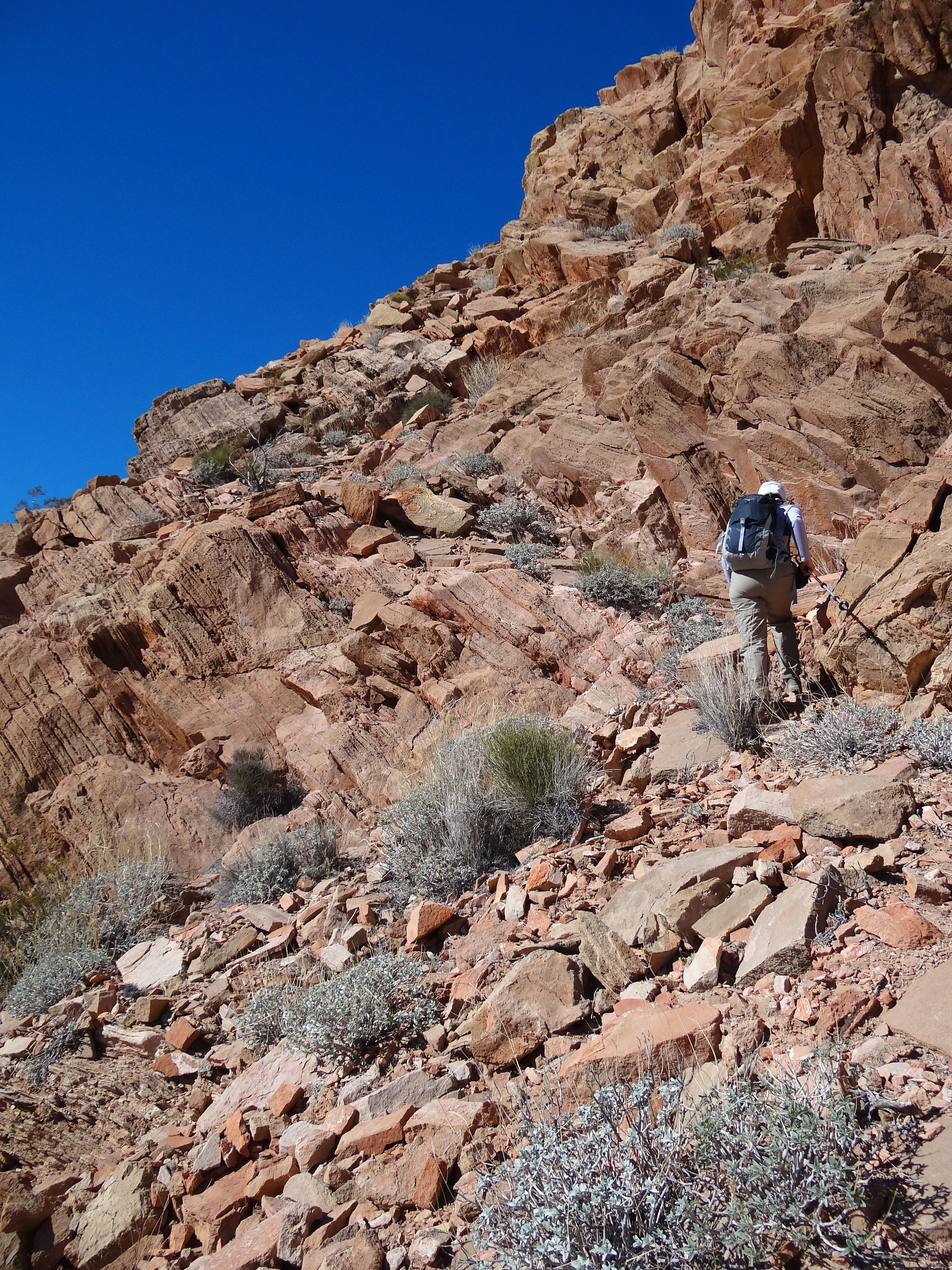
We're forced to go right because of steep slabs
Climbing a short, brief ledge
Dinah stopped while I pushed on (mouse over to look back)
I have more scrambling ahead of me
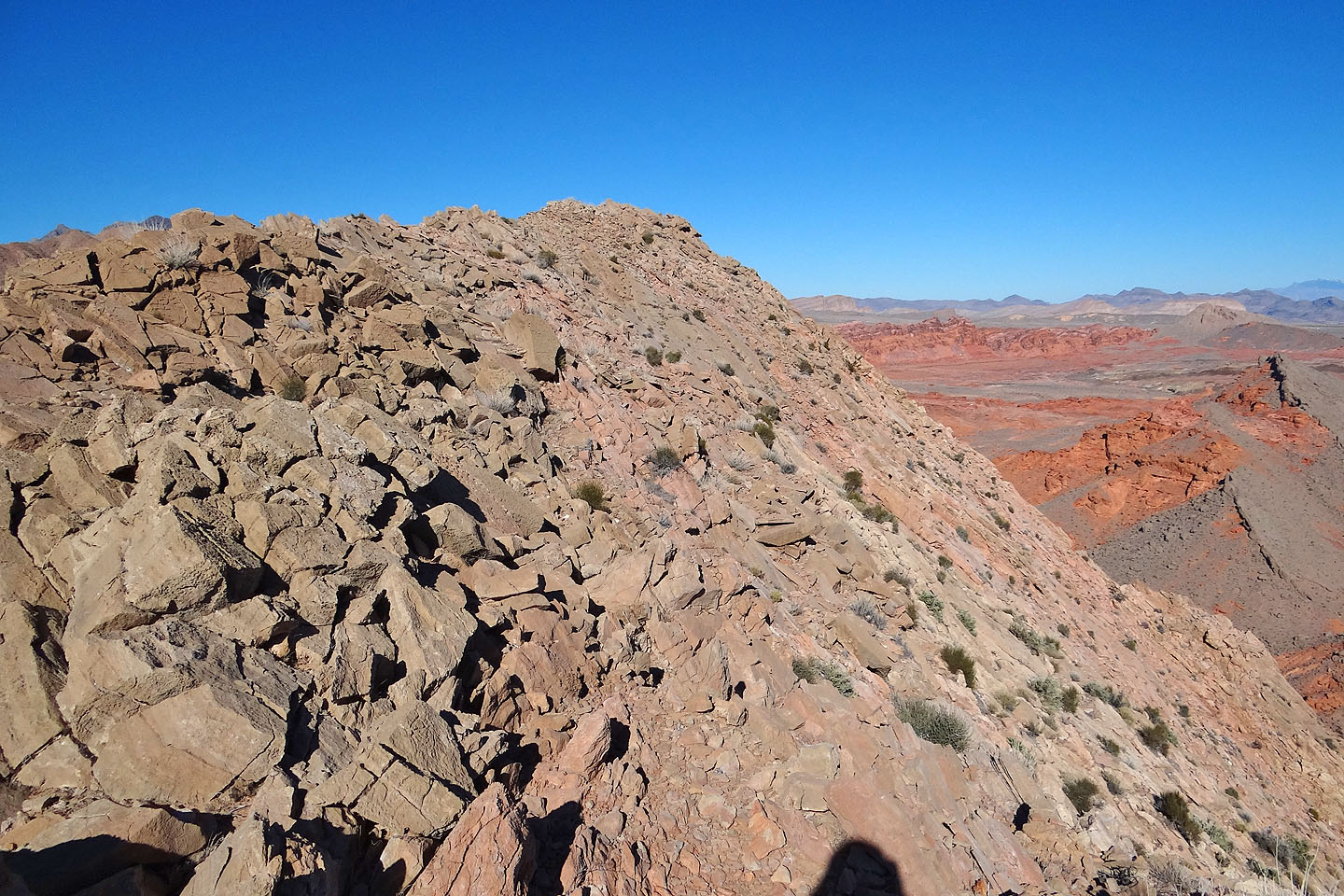
The ridge finally levels off and I can see the top of Murphy's Peak
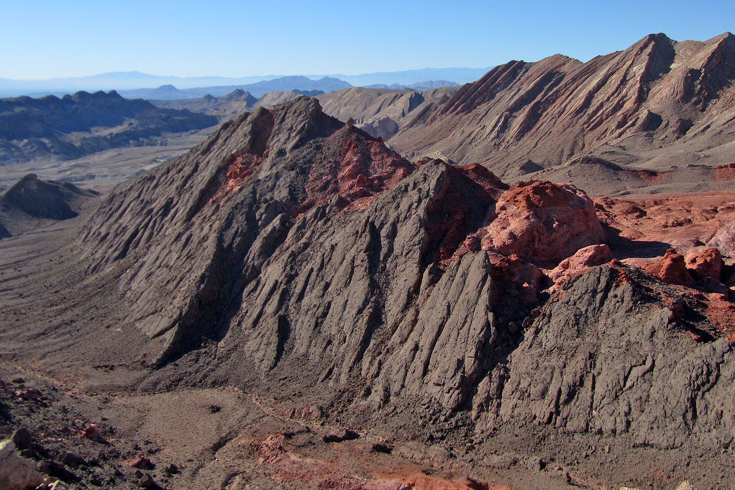
Anniversary Narrows Peak on the right
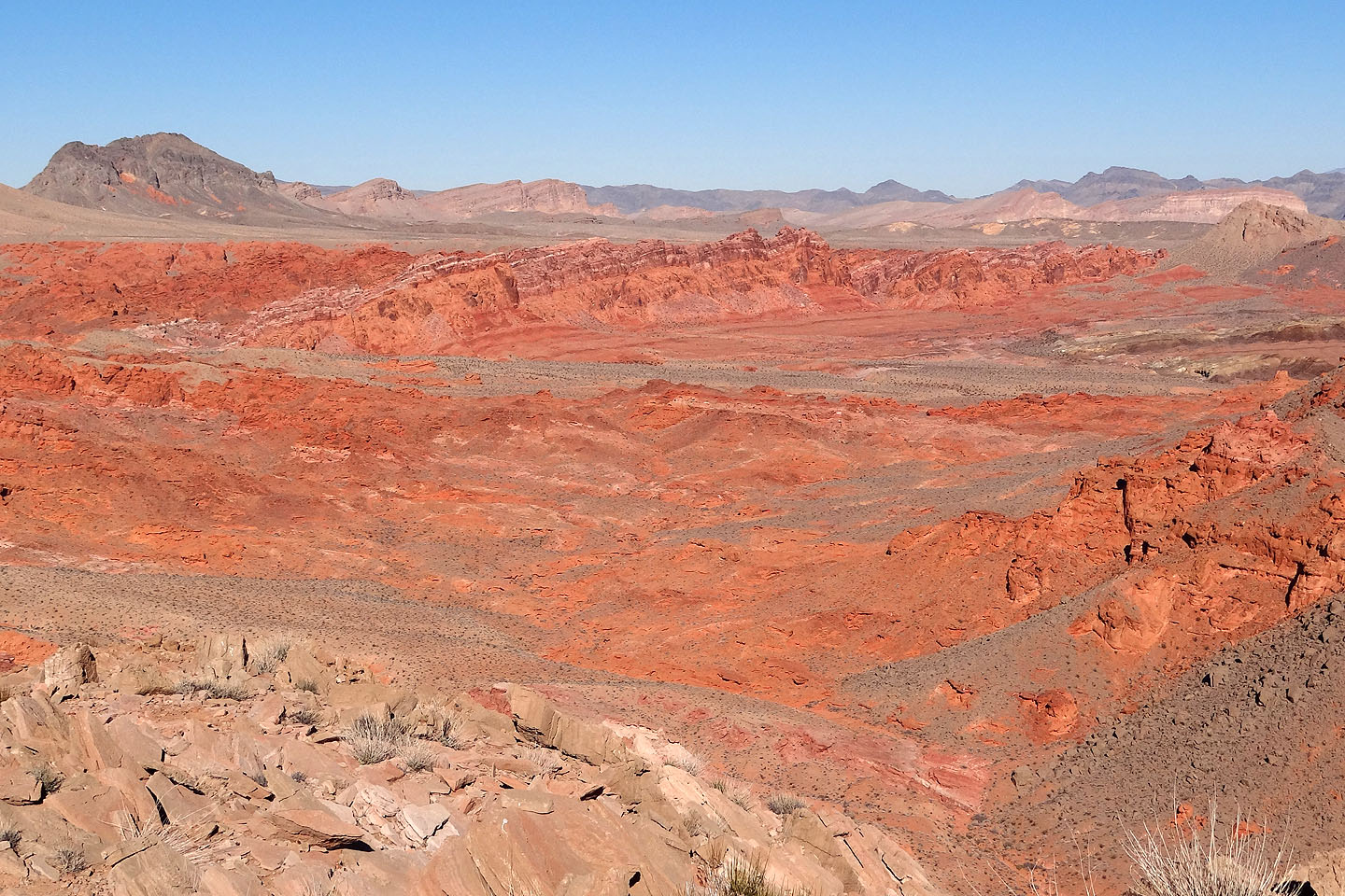
Bowl of Fire from the summit
Heading back down
View of the Bowl of Fire from the desert flats
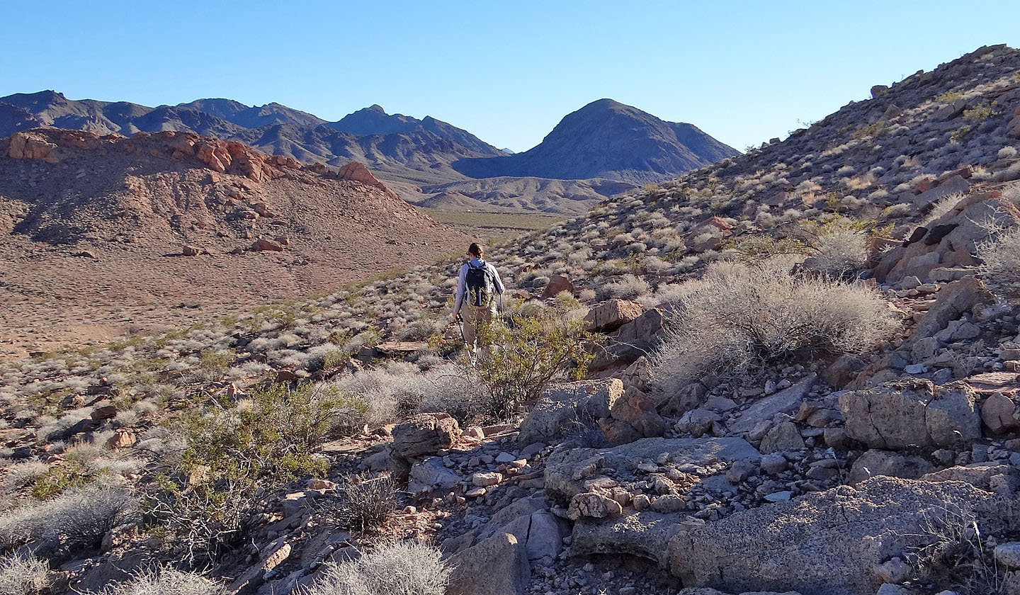
Heading back to the car (the barely visible white dot in front of Dinah)
Final look at Murphy's Peak
Callville Bay (3.3 mi, 2680 ft, 797 ft)