bobspirko.ca | Home | Canada Trips | US Trips | Hiking | Snowshoeing | MAP | About
Muffin Ridge
Red Rock Canyon NCA, Nevada
October 6, 2014
Distance: 10.2 km (6.3 mi)
Cumulative Elevation Gain: 398 m (1306 ft)
Muffin Ridge is one of a few popular hikes that run up sprawling Blue Diamond Hill. Although less exciting than most trips around Las Vegas, Muffin Ridge is close to the city and was more enjoyable than Shin Goto, Dinah and I expected.
We turned to Jim Boone's web page for the route. From the trailhead, we followed a road and then a path to the base of the ridge. The trail gradually climbs to the Muffin Rocks. The boulders bear little resemblance to muffins and probably won’t make you salivate, but they are huge and unusual. After exploring the rocks, we continued up the ridge to a high point, possibly the north summit of Blue Diamond Hill. A higher point appears a mile south, but it may be off-limits due to a mining operation.
Instead of retracing our steps down the ridge, we descended Skull Canyon. Like our ridge ascent, the canyon was more fascinating than we had anticipated. At first we stayed on the trail that runs along either side of the canyon while occasionally crisscrossing the canyon floor. But after a time Shin and I left the trail to follow the more challenging and interesting canyon floor, much of it lined with smooth, gray rock as well as boulders. As we neared the mouth of the canyon, Shin and I rejoined Dinah on the trail and together we arrived at the fork where we had earlier taken the ridge trail. We were soon back at our car in time for lunch.
Shin suggested we drive up the highway a few miles and stop at Bonnie Springs Ranch/Old Nevada. The resort has western-themed activities and events, but we went there only to feast. We enjoyed a good meal at the rustic restaurant while watching dozens of ducks and turtles frolic in the pond next to it. It was a delightful finish to our trip.
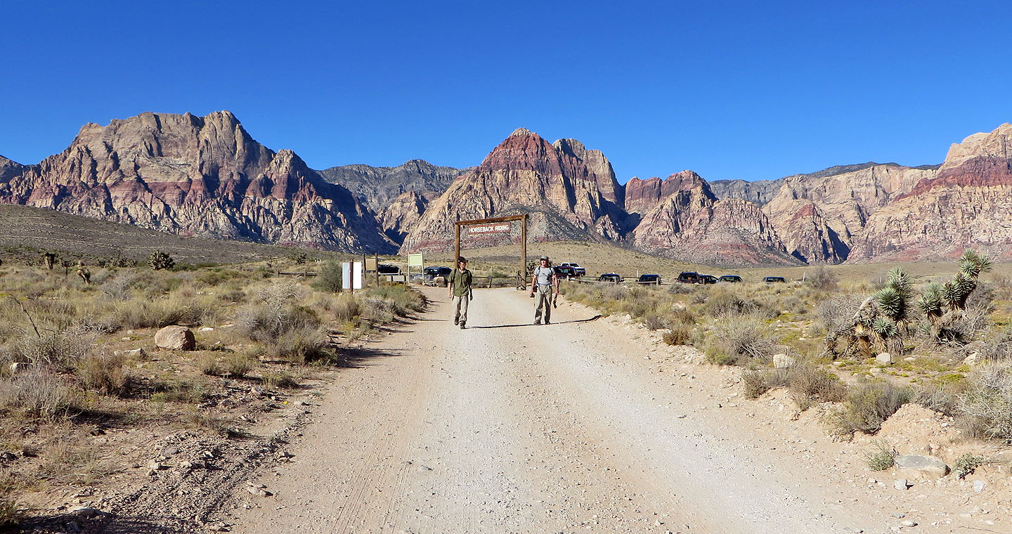
The trail begins at Cowboy Trail Rides parking
Muffin Ridge is visible from the start
The trail crosses a wash and comes to a fork well up the slope: left for Muffin Ridge and right
for Skull Canyon
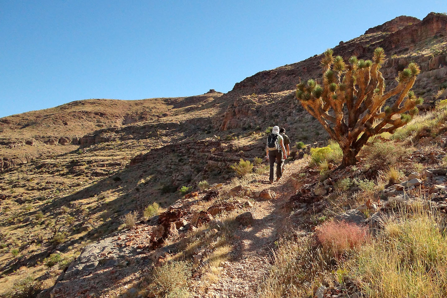
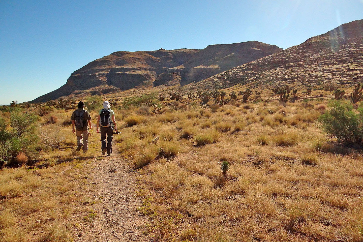
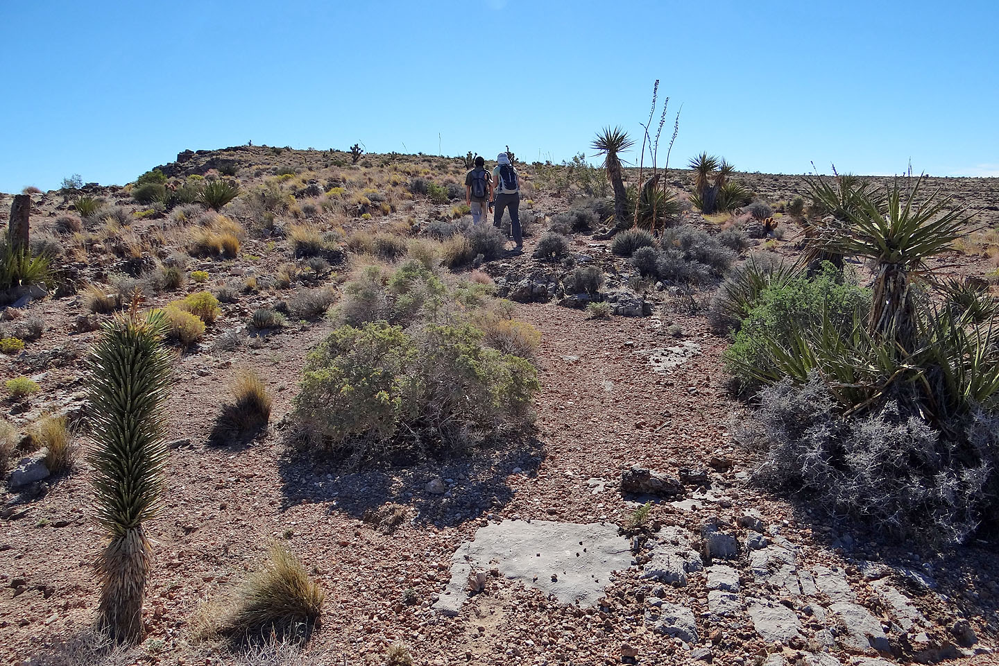
The trail climbs gradually to Muffin Ridge
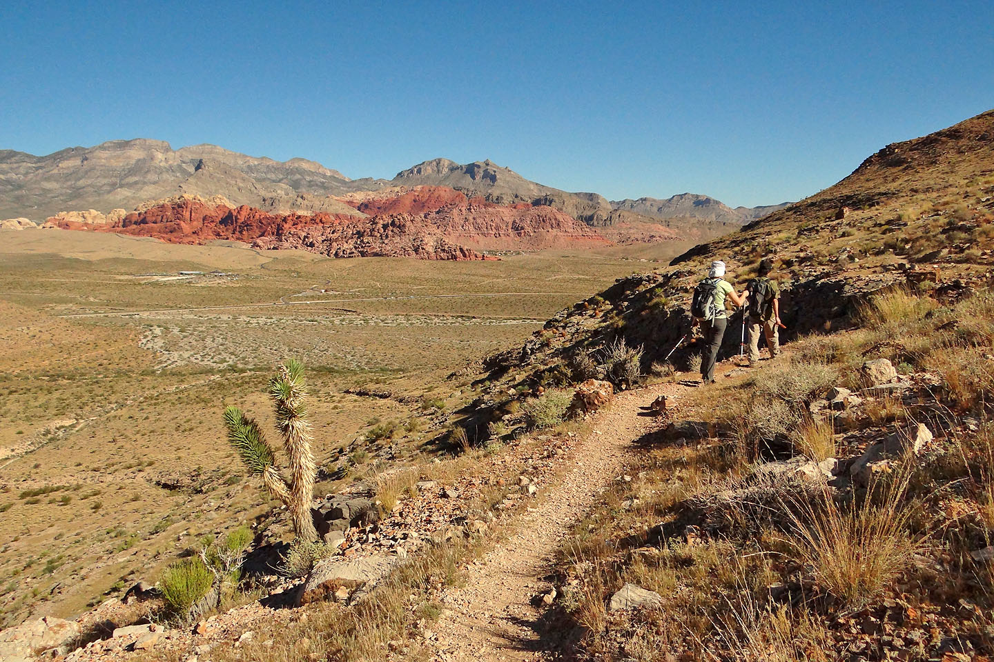
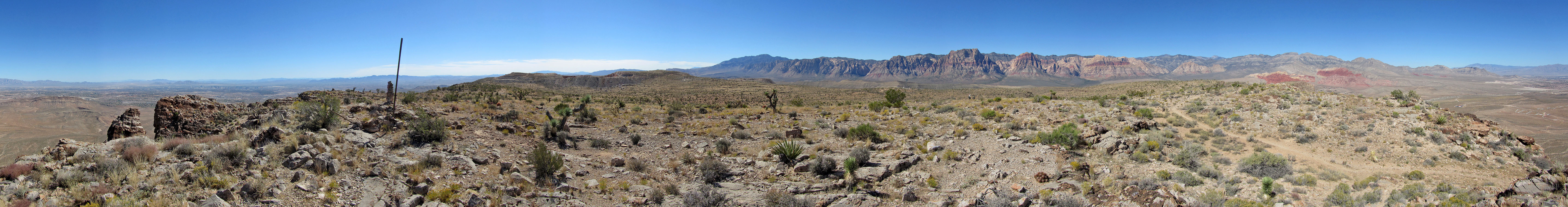
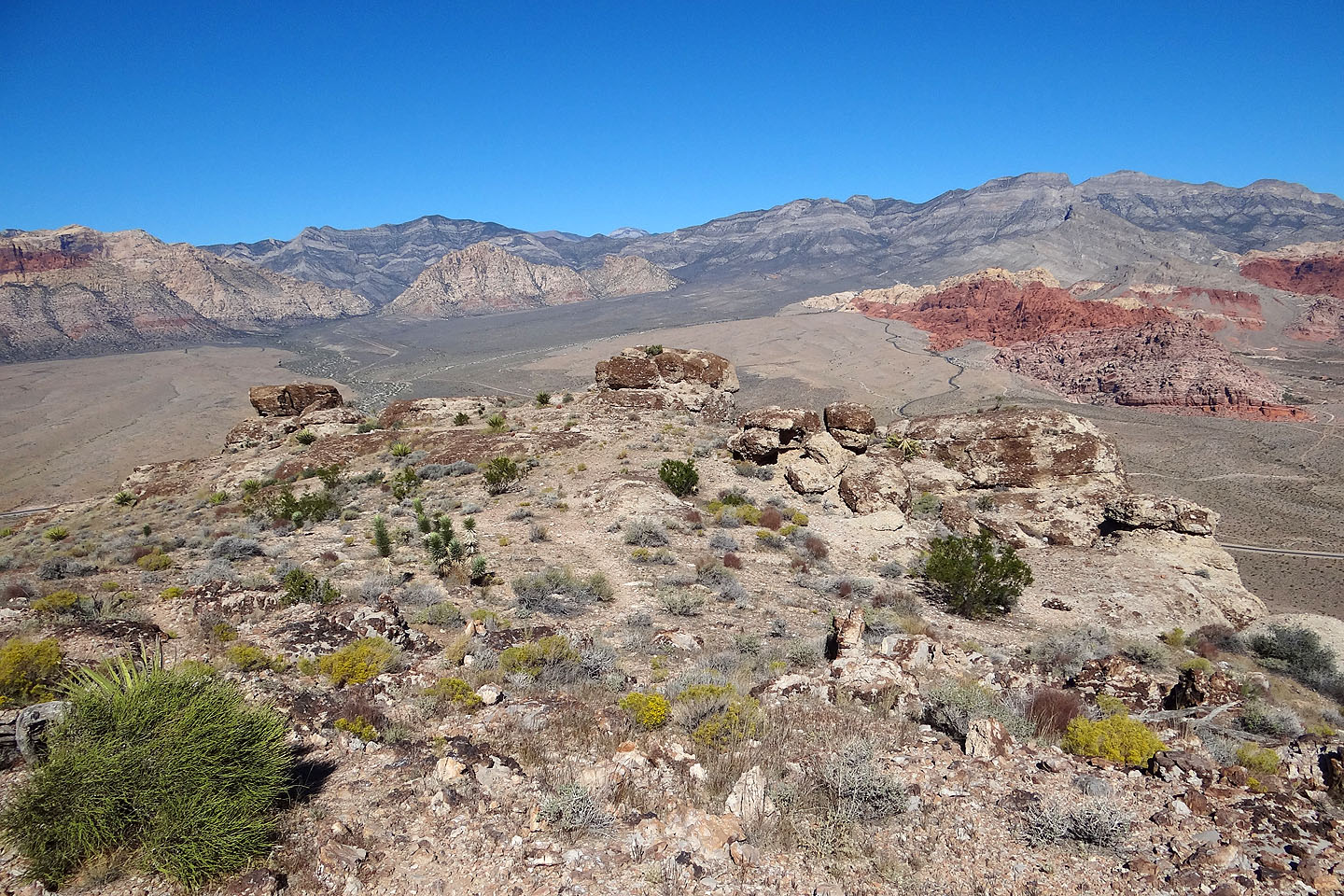
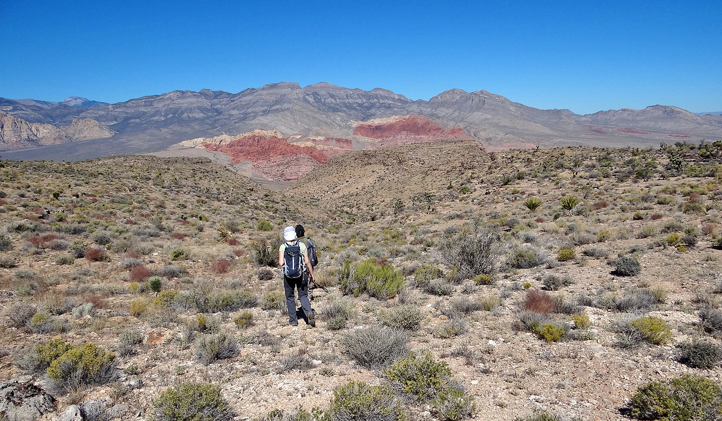
The red rocks are Calico Hills. On the skyline are El Padre and La Madre, Damsel Peak and Gottlieb Peak.
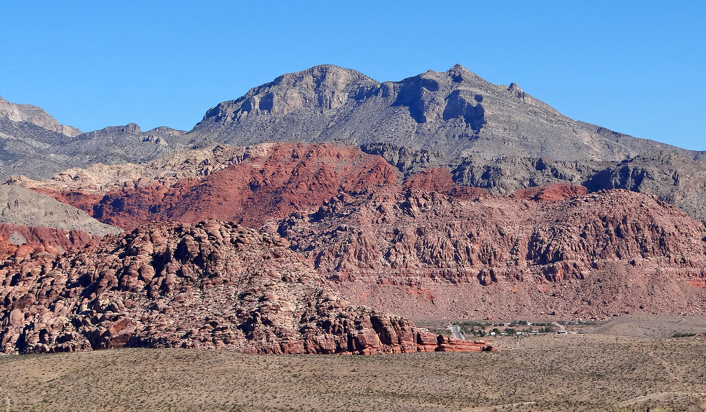
A closer look at Damsel Peak and Calico Hills
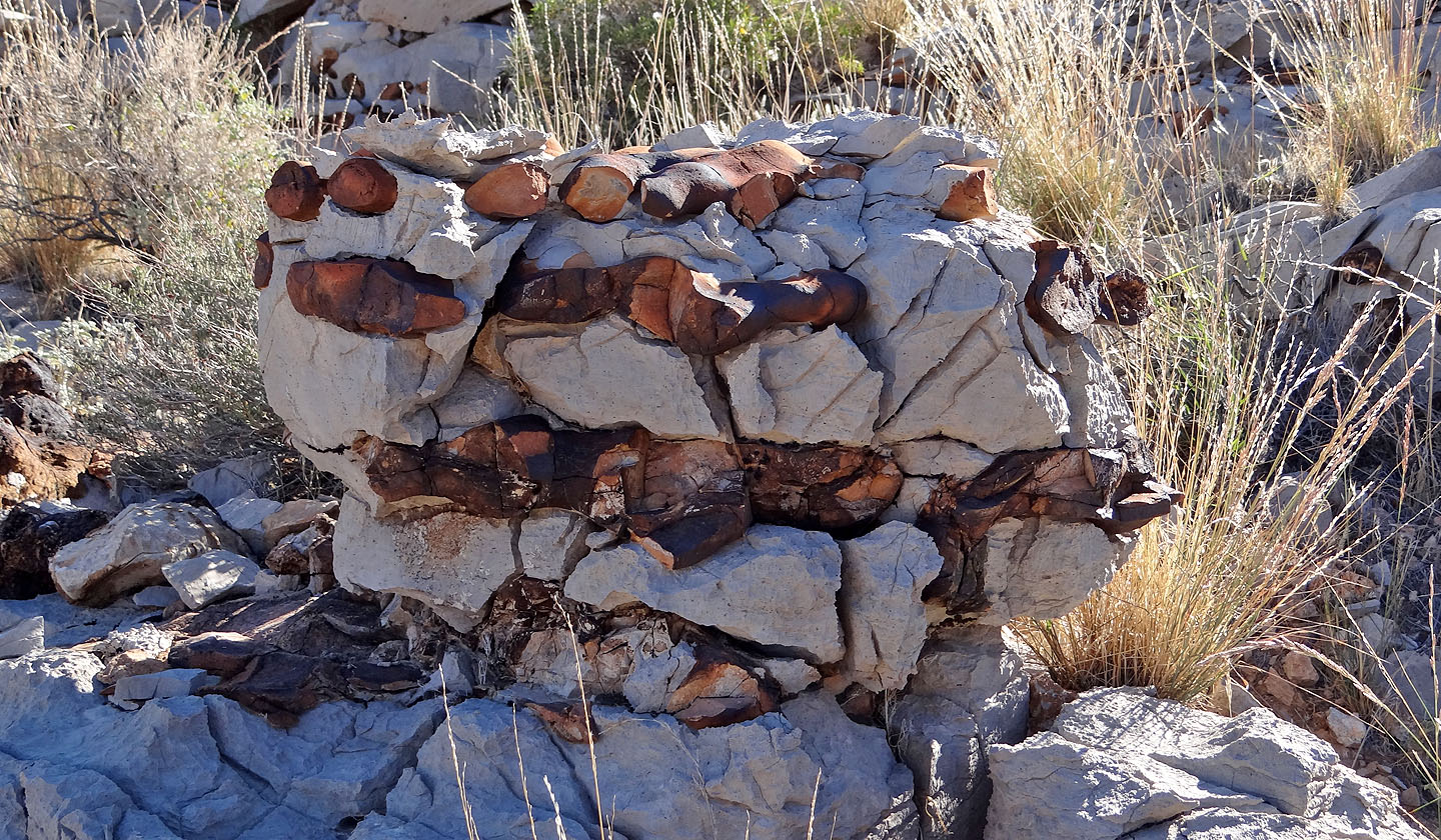
We passed some unusual rocks
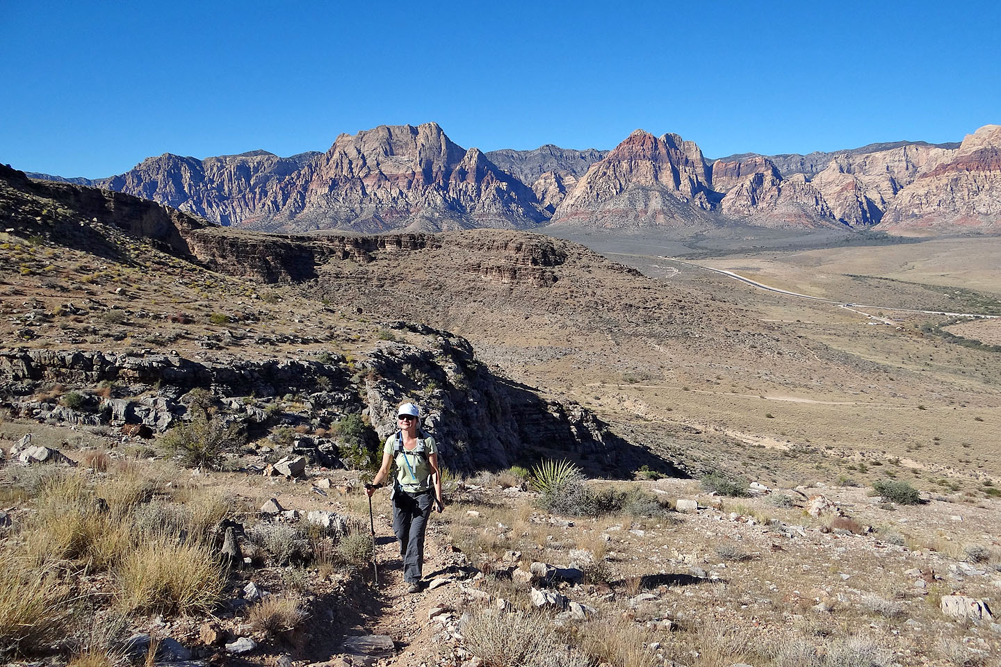
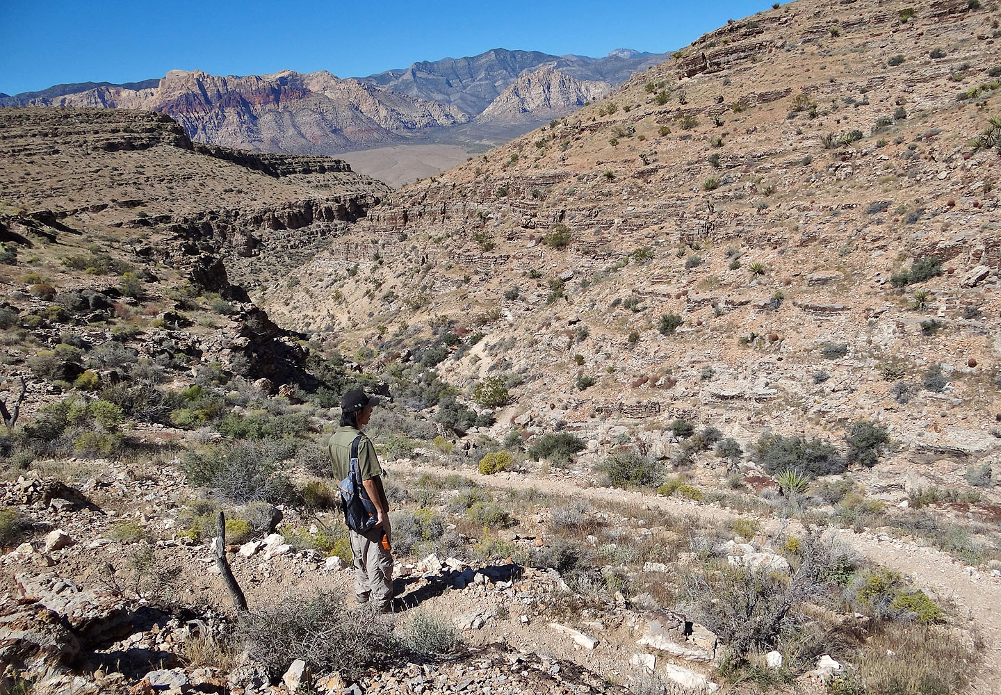
Looking back: Mount Wilson rises above Dinah
The trail winds it way through rocks
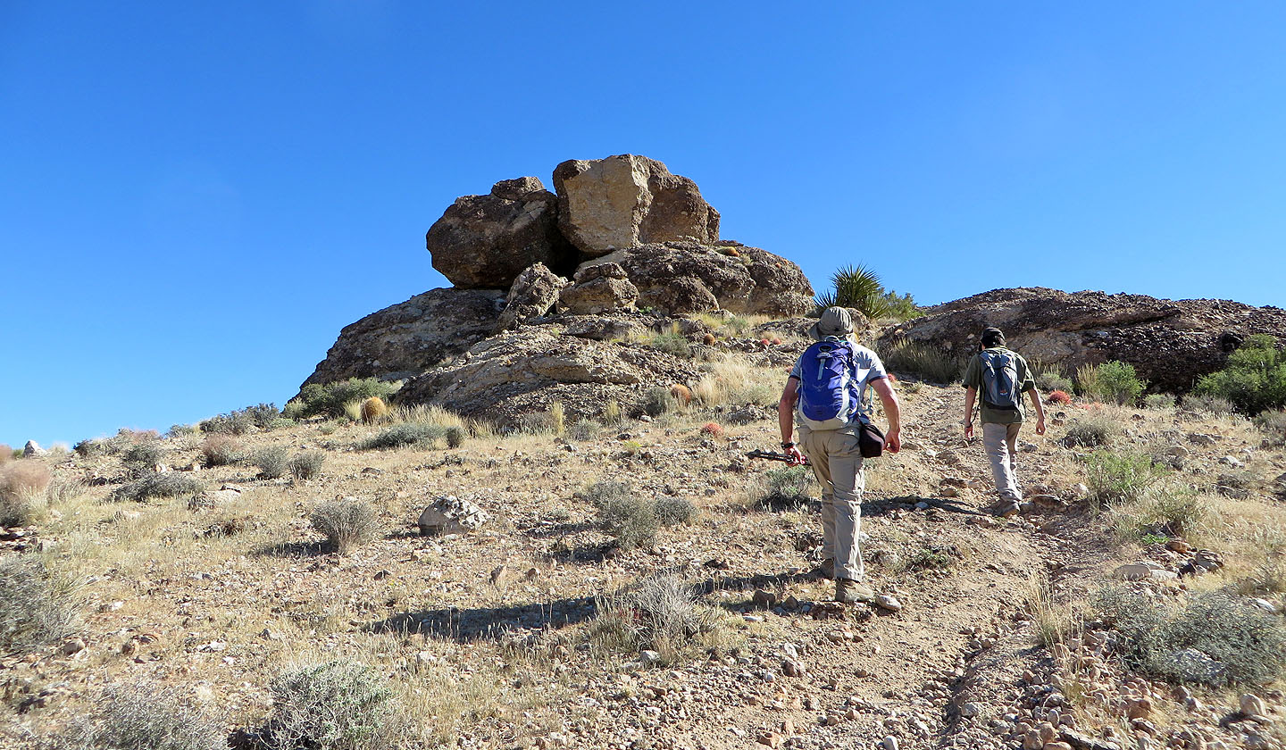
Arriving at the first Muffin Rocks
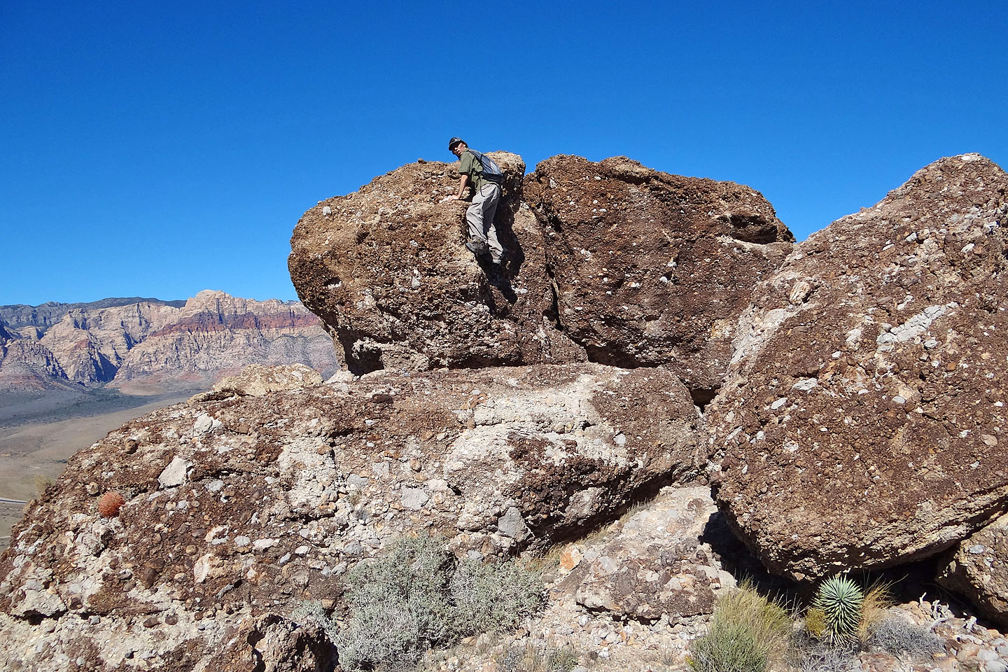
Shin scrambles up one of the rocks
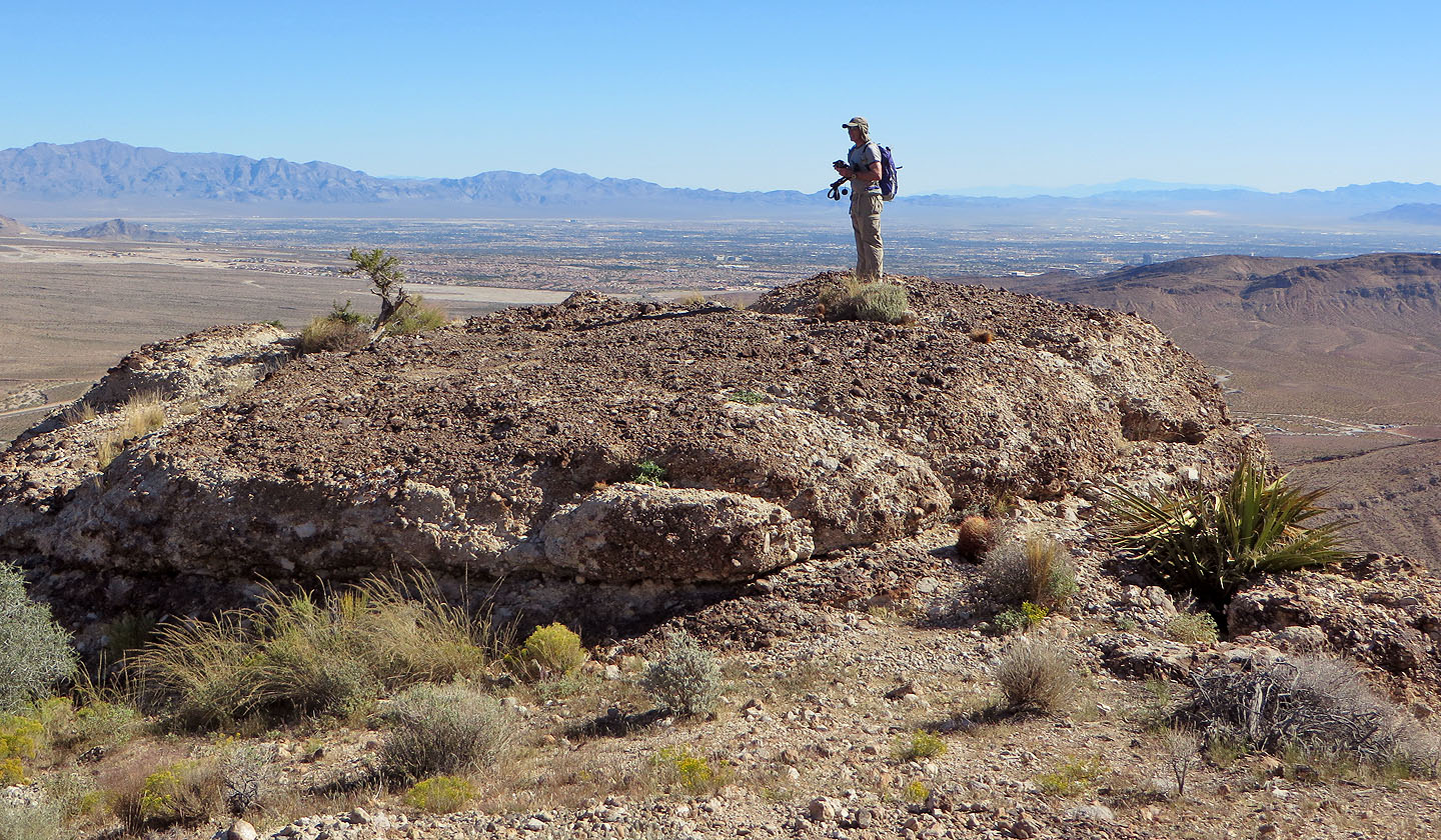
Las Vegas lies below
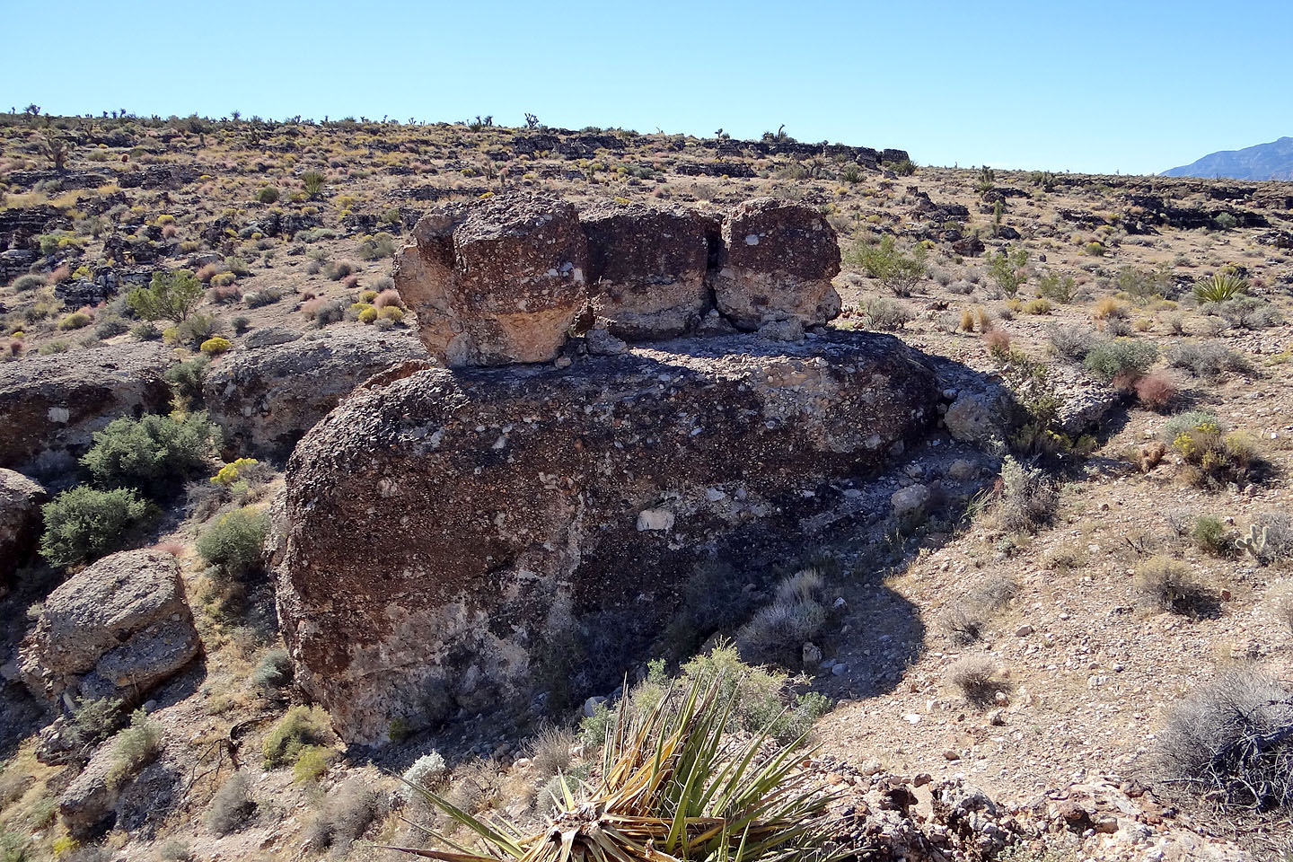
These three boulders actually look like muffins!
Looking back at the rocks
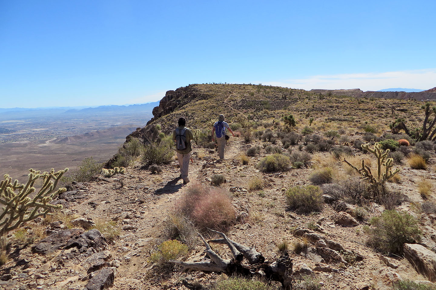
We continued up the ridge
Mixed vegetation on the ridge
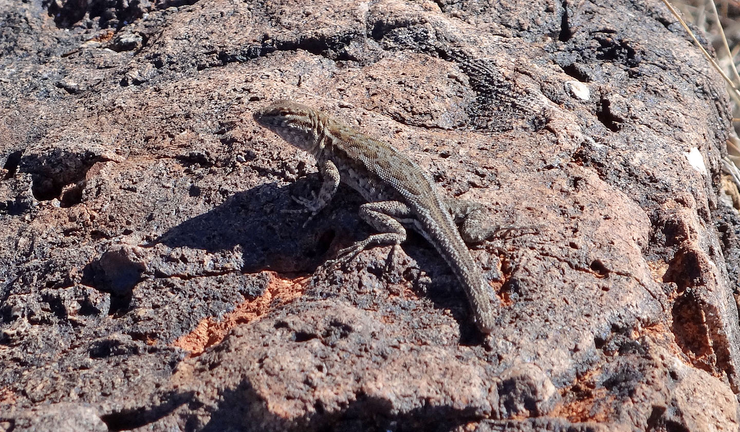
We saw a few lizards although this one was missing part of its tail
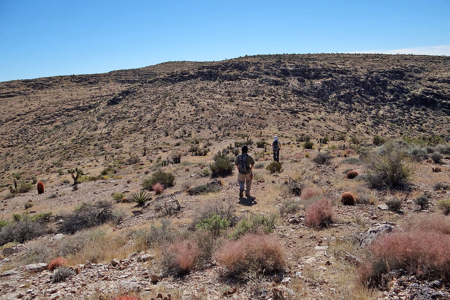
Ahead is the highest point we reached
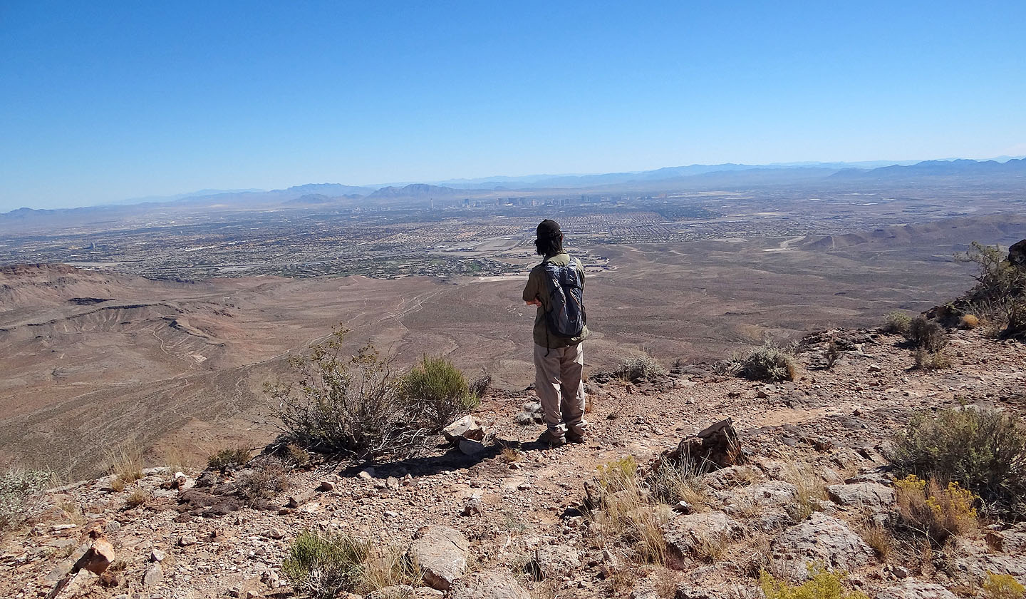
Shin gazes down at the city
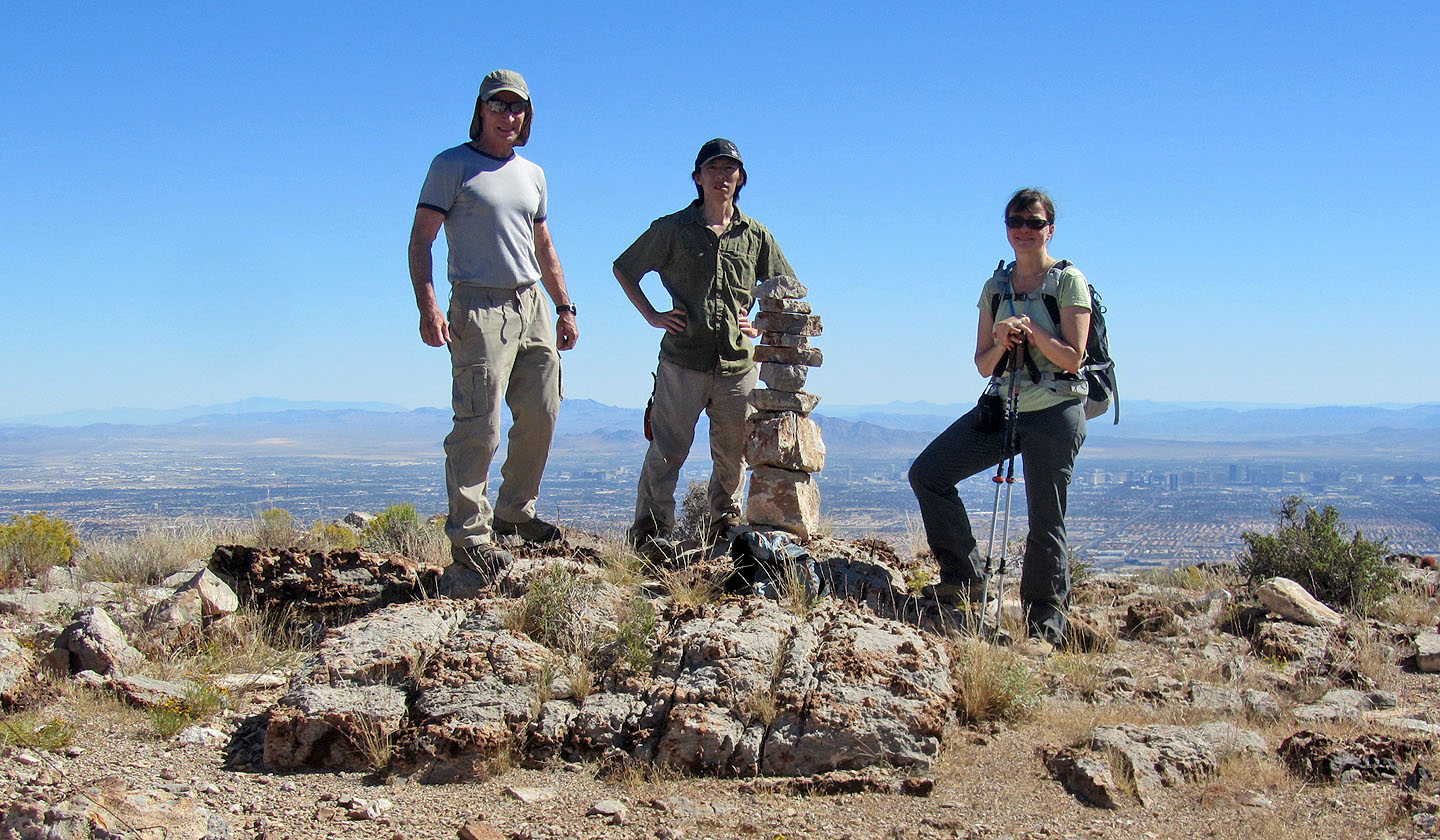
On the summit
We took a different route back
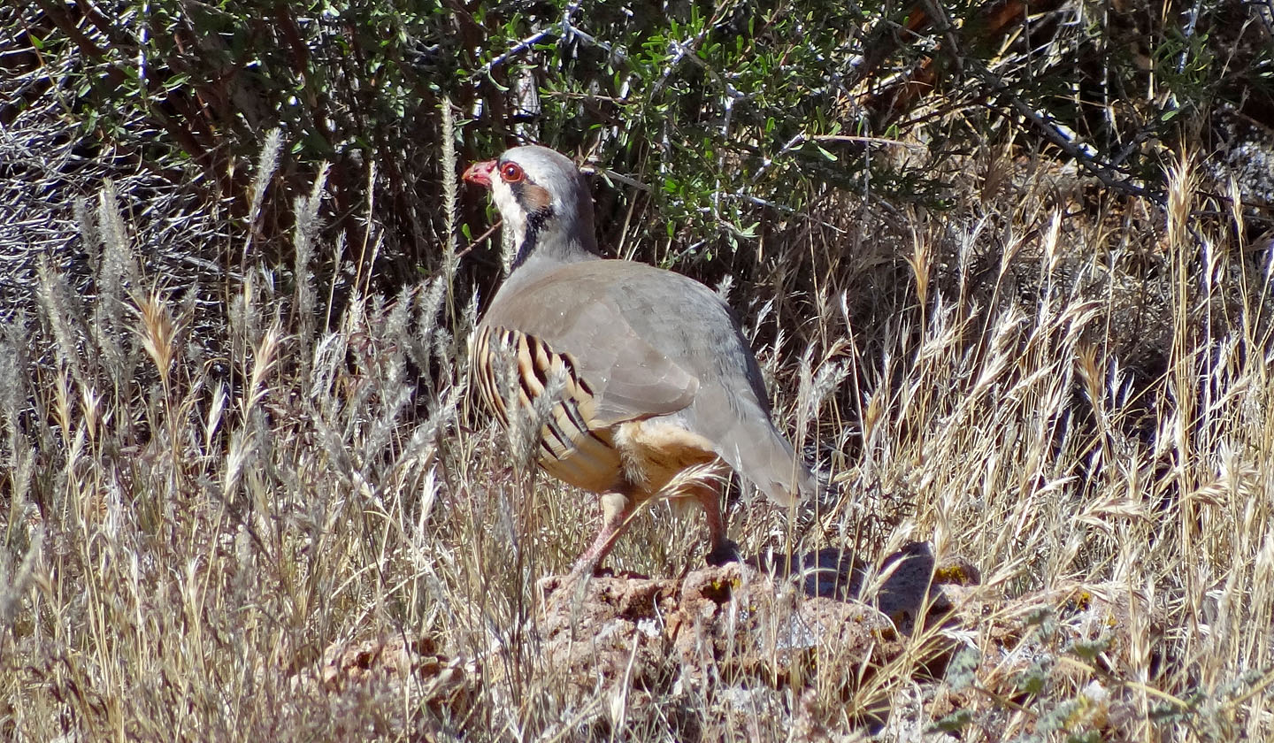
We spotted a chukar, a type of partridge. From Asia originally, they were
introduced as
game birds.
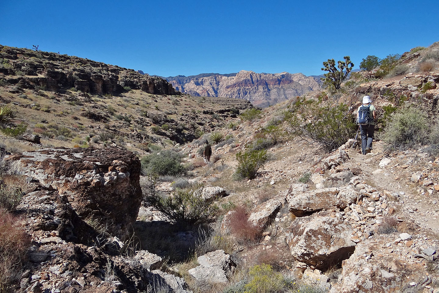
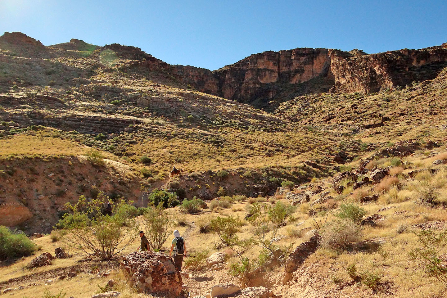
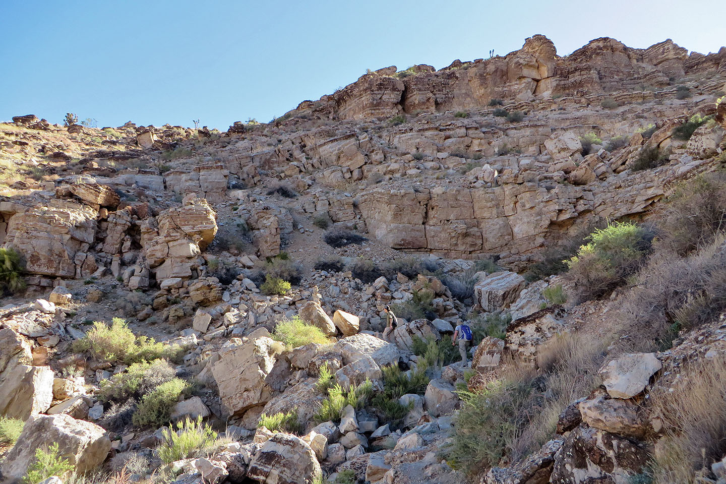
Starting down Skull Canyon
Going deeper into the canyon
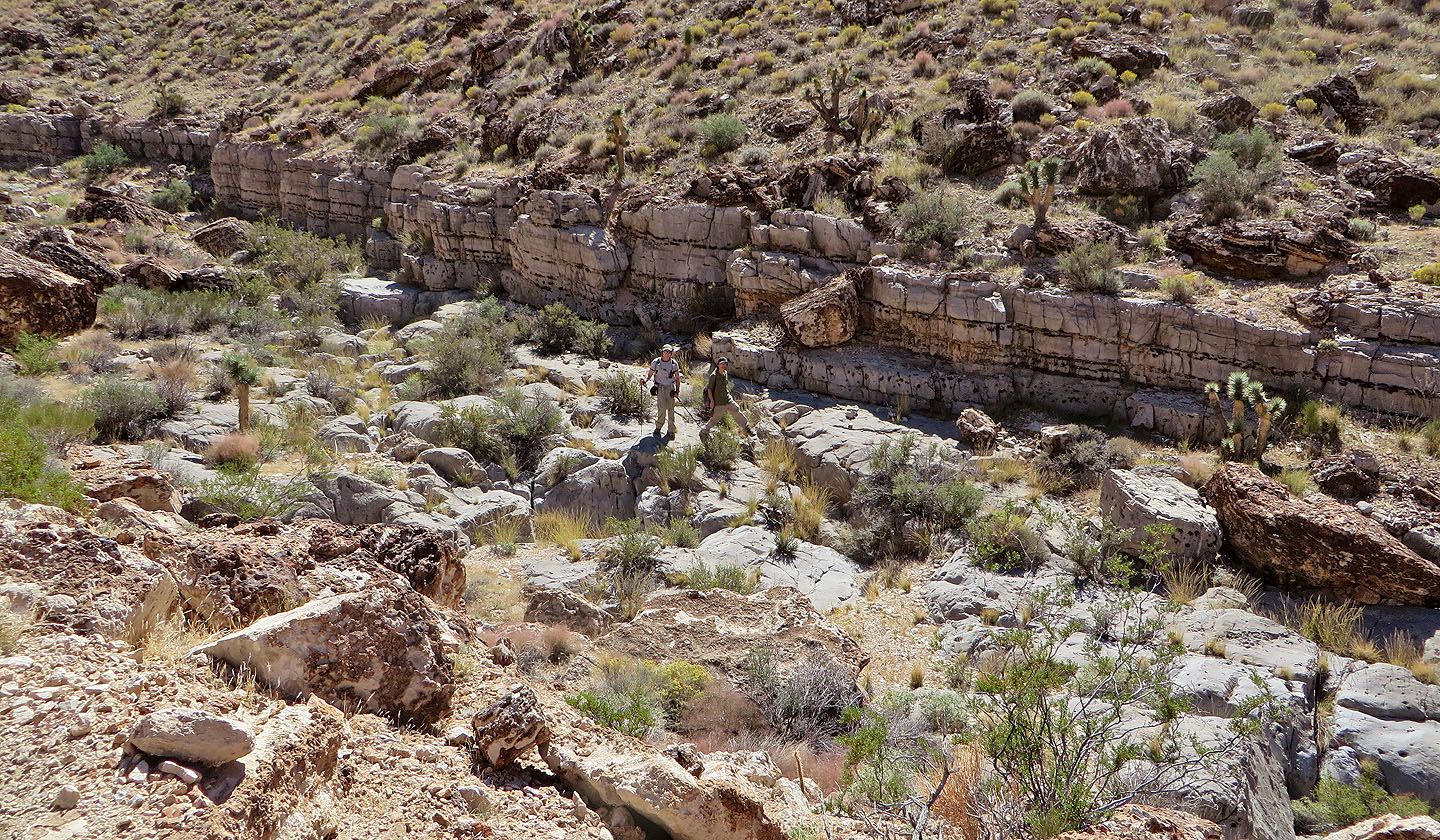
Shin and I followed the canyon floor while Dinah stayed on the trail
Hiking on the canyon floor
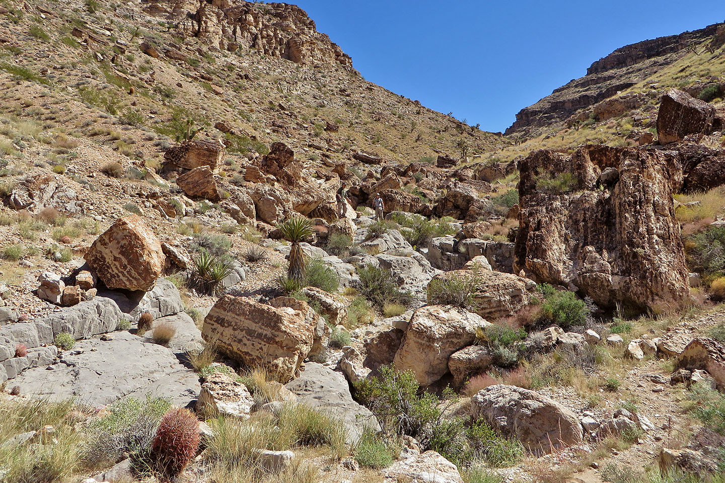
Boulders made the canyon floor challenging at times
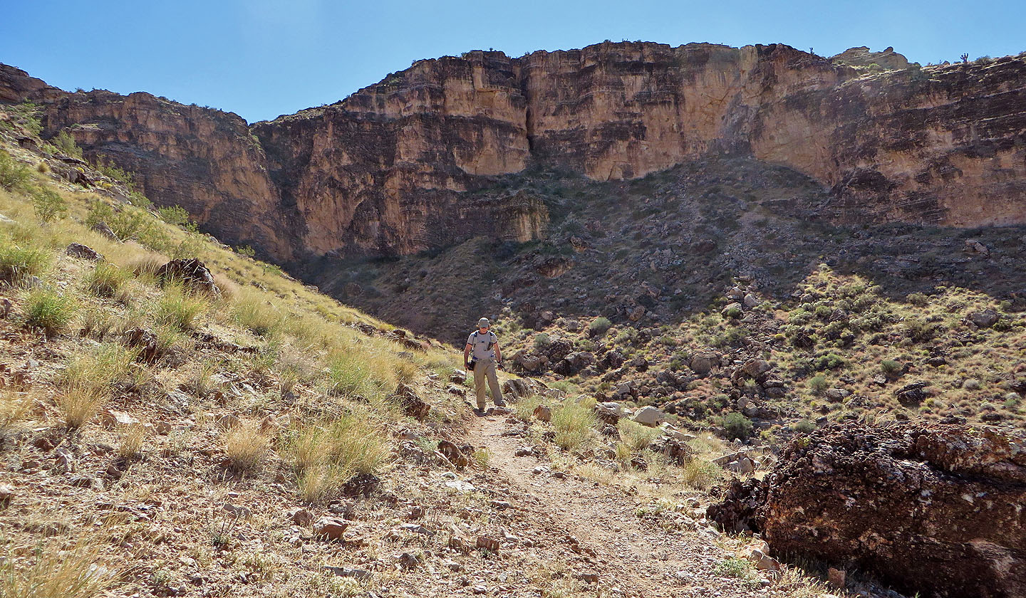
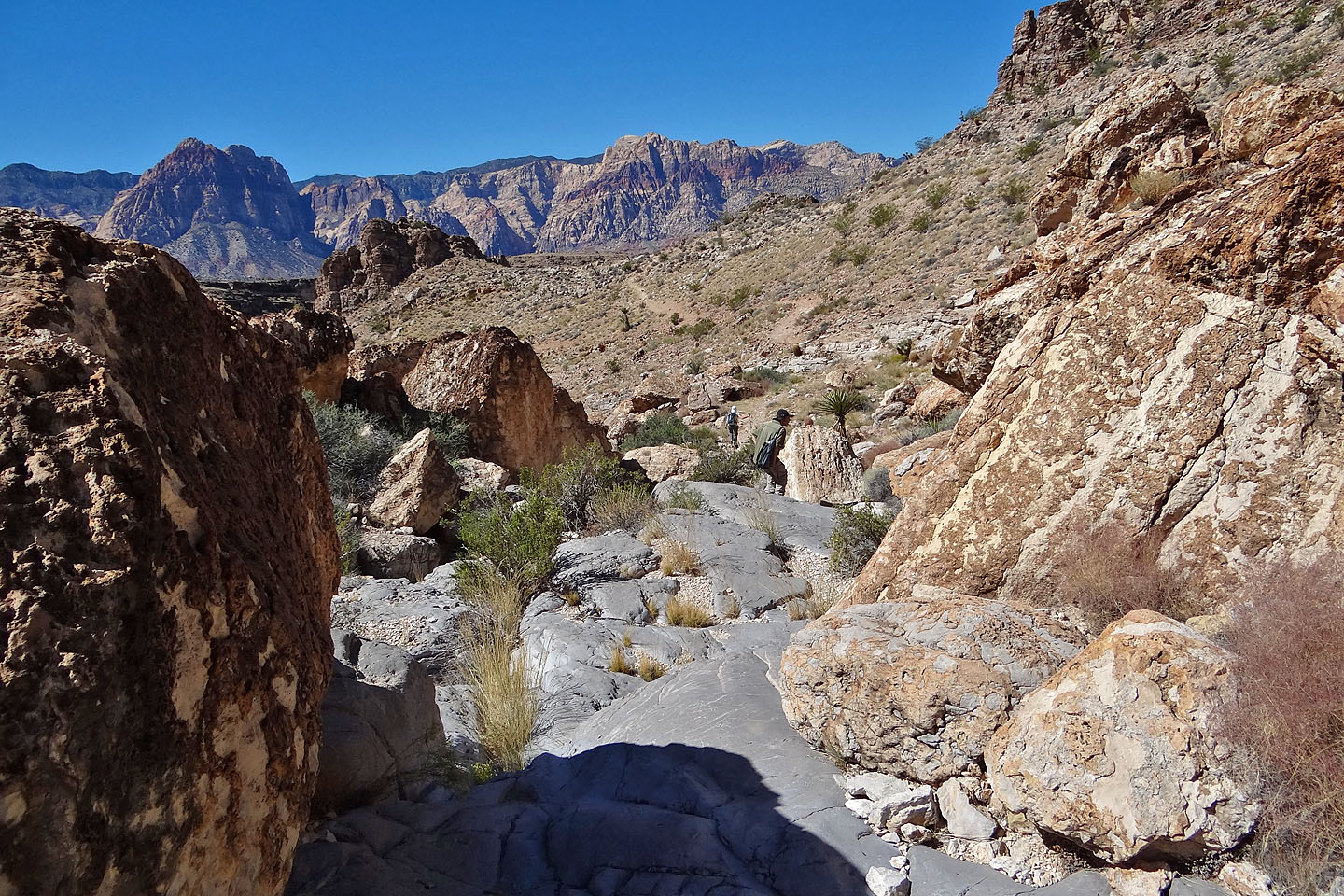
Exiting Skull Canyon
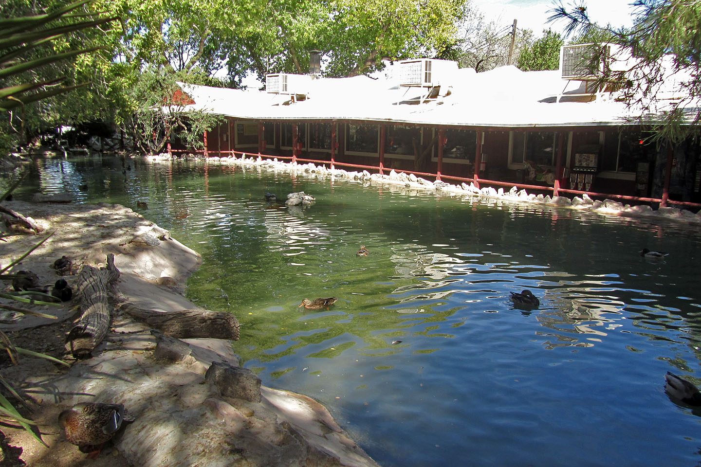
Looking across the pond at Bonnie Springs Ranch restaurant (mouse over to see turtles)
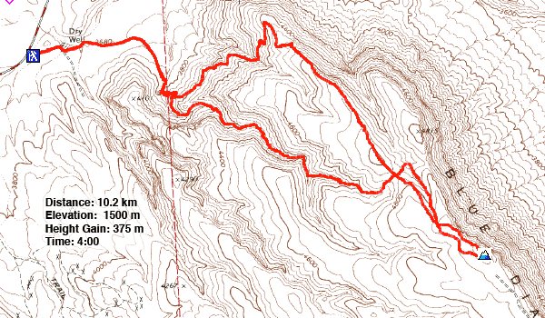
Blue Diamond (6.3 mi, 4921 ft, 1230 ft)