bobspirko.ca | Home | Canada Trips | US Trips | Hiking | Snowshoeing | MAP | About
Hayford Peak
Desert National Wildlife Refuge, Nevada
April 22, 2013
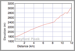
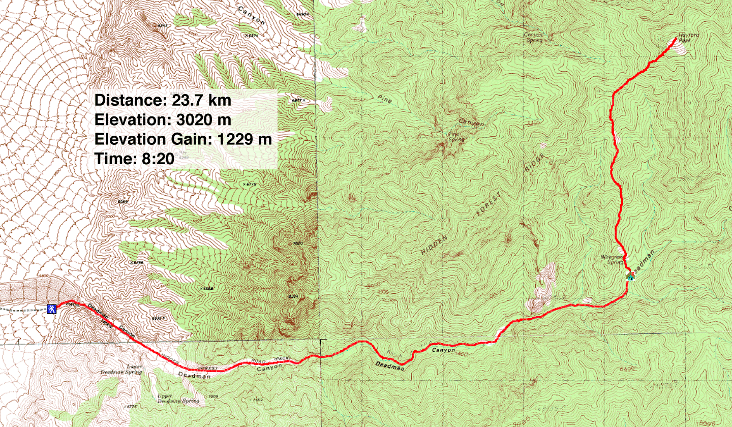
Distance: 23.7 km (14.7 mi)
Cumulative Elevation Gain: 1290 m (4232 ft)
After climbing Sheep Peak in 2010, I've always wanted to return to climb the highest peak in the Sheep Mountains: Hayford Peak. The standard class 2 route runs up Deadman Canyon to Hidden Forest cabin before gaining the southwest ridge which runs to the summit. The route is described on James Boone's website, although Dinah and I wouldn't need it. Our friend Shin, who has done Hayford several times, guided us up. In fact, Shin does volunteer work for this area, the Desert National Wildlife Refuge. He regularly checks the status of the cabin.
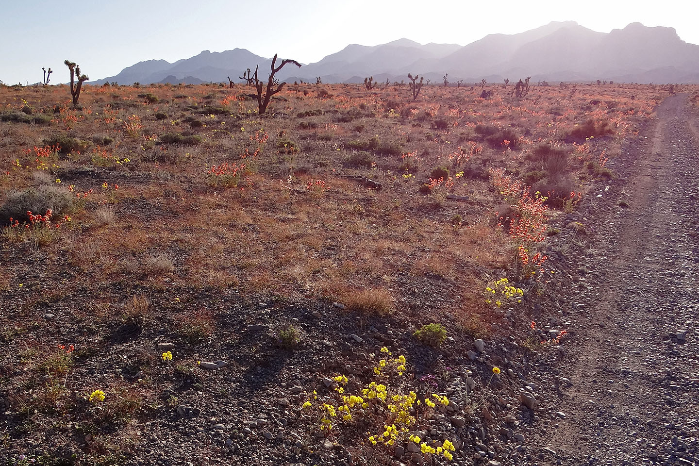
Starting at 8:00 am at 1800 m elevation, I expected cool temperatures, so I was surprised to find the first section of the hike, Deadman Canyon, was on the uncomfortable side of warm. We found no relief from the sun, and the gravel wash offered poor traction for our boots. I was glad after the trail climbed a few hundred metres where temperatures eased, and shady pockets appeared as bushes in the canyon gave way to trees. We reached the cabin in two hours.
From the cabin, Shin led us up to the ridge crest. After reaching the ridgeline we followed it all the way, except for a slight diversion just before the summit where cliffs prevent a straight-on climb. Here we angled left and regained the ridge past the cliffs. Two hours after leaving the cabin we arrived on the summit.
The summit view from Hayford Peak is said to be one of the best. Unfortunately trees prevent any good views north so expansive views are confined to the south. We could see the city of Las Vegas 2400 m below us.
The return was unremarkable except when we got back to the canyon. I was dreading the hike back at lower elevations where I expected temperatures to peak in mid-afternoon, but instead a cool breeze came up the canyon and beat back the heat. The hike down the gravel wash was still a slog, but at least we were comfortable, which left us to concentrate on the beauty of Deadman Canyon.
On the road to the trailhead: Hayford Peak is in the centre
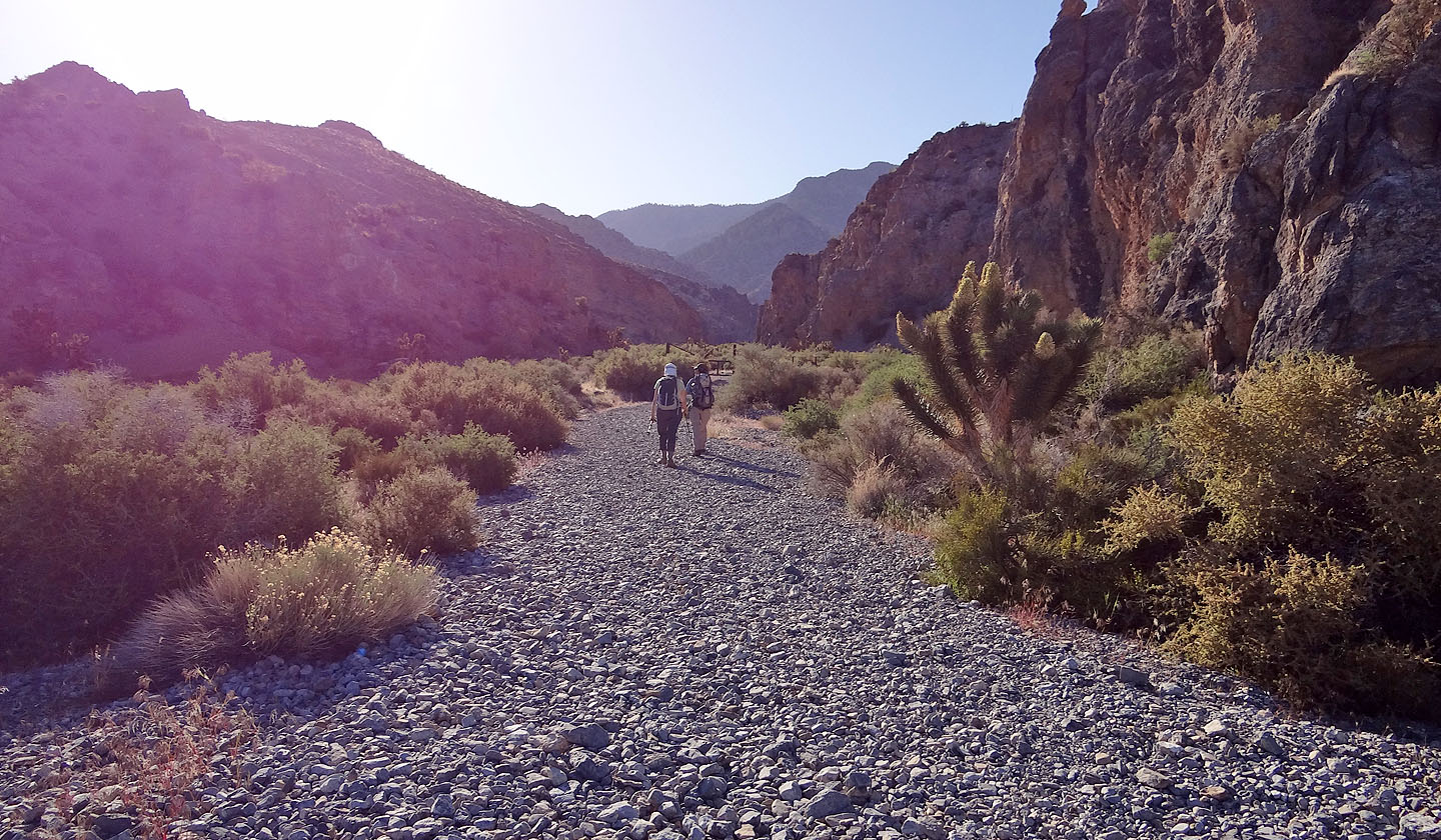
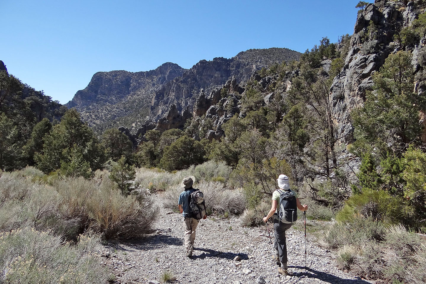
Starting up Deadman Canyon (mouse over to look back)
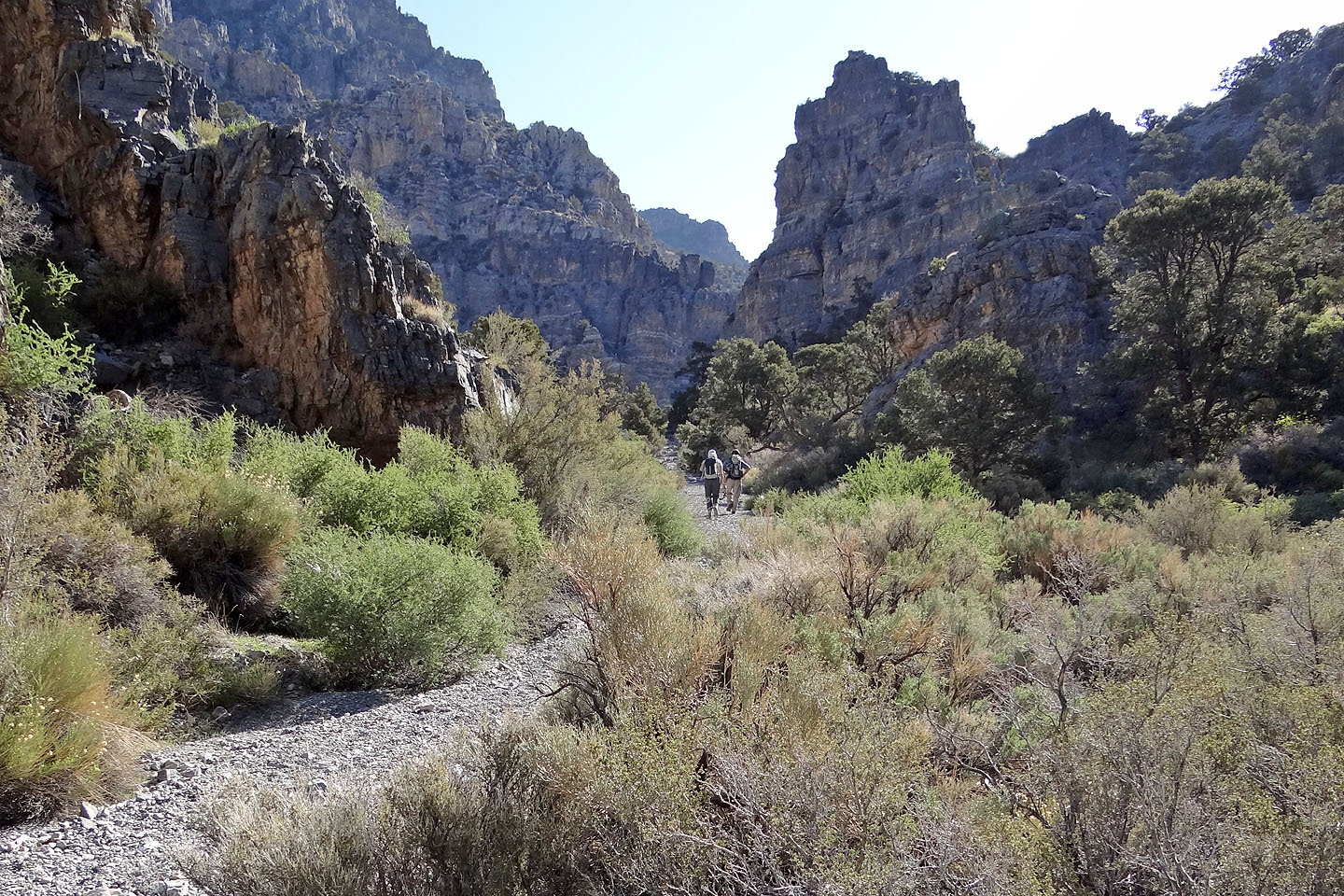
Steep rock rises on either side of the canyon
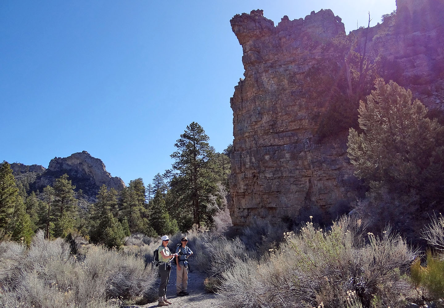
Shin calls this "30-minute rock" because the cabin is 30 minutes away
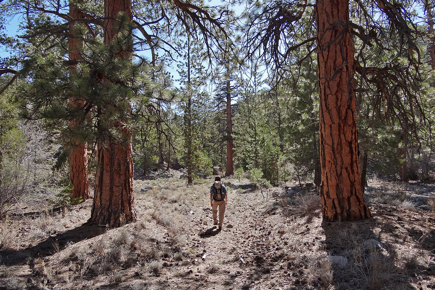
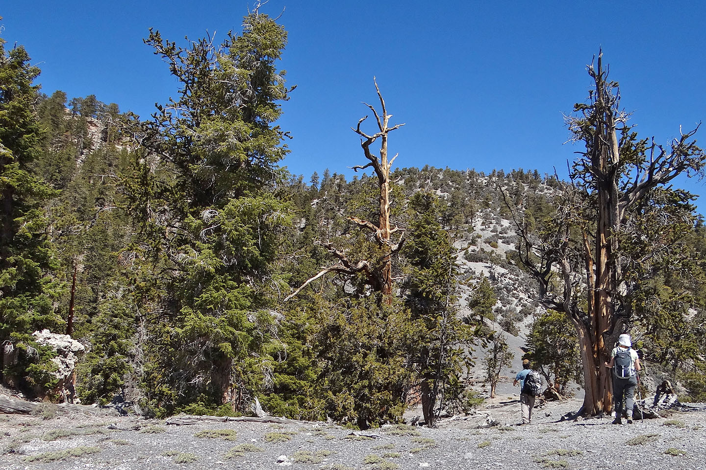
Ponderosa pines line the trail
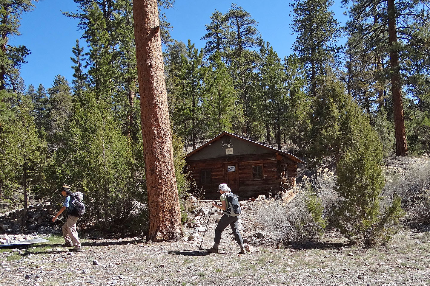
Hidden Forest Cabin (mouse over to see inside)
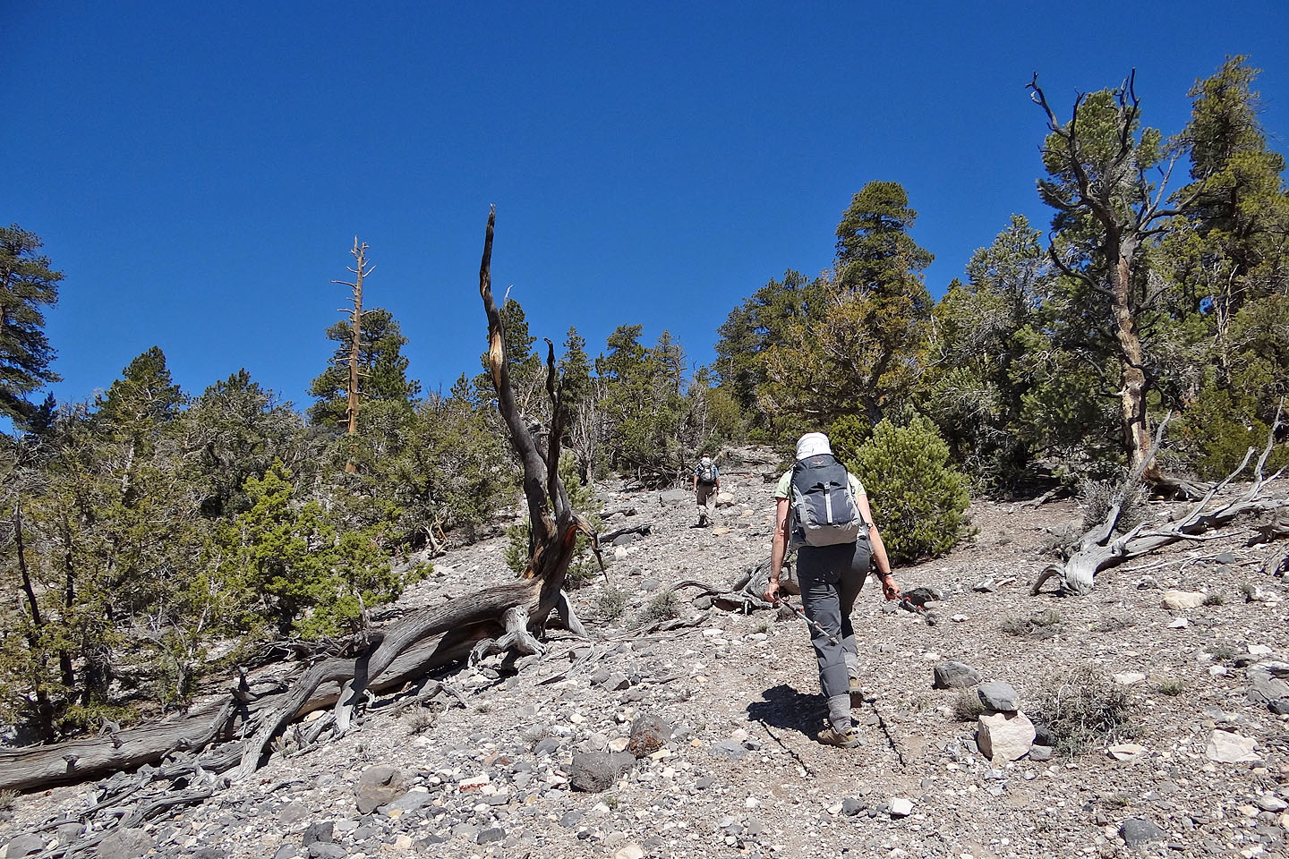
After the cabin, the trail ascends to the ridge crest
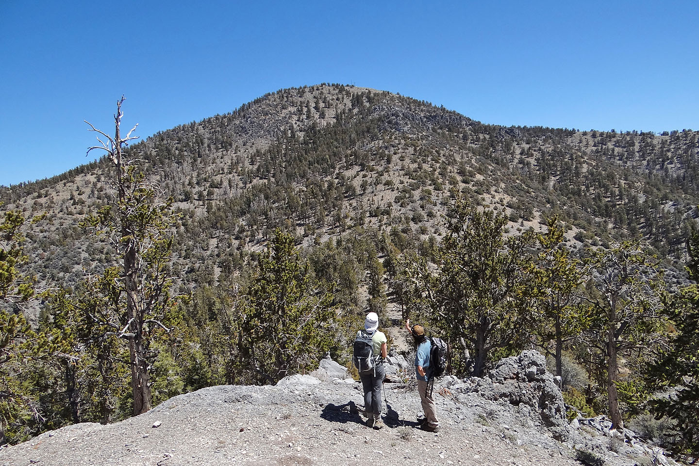
Our first good look at the summit
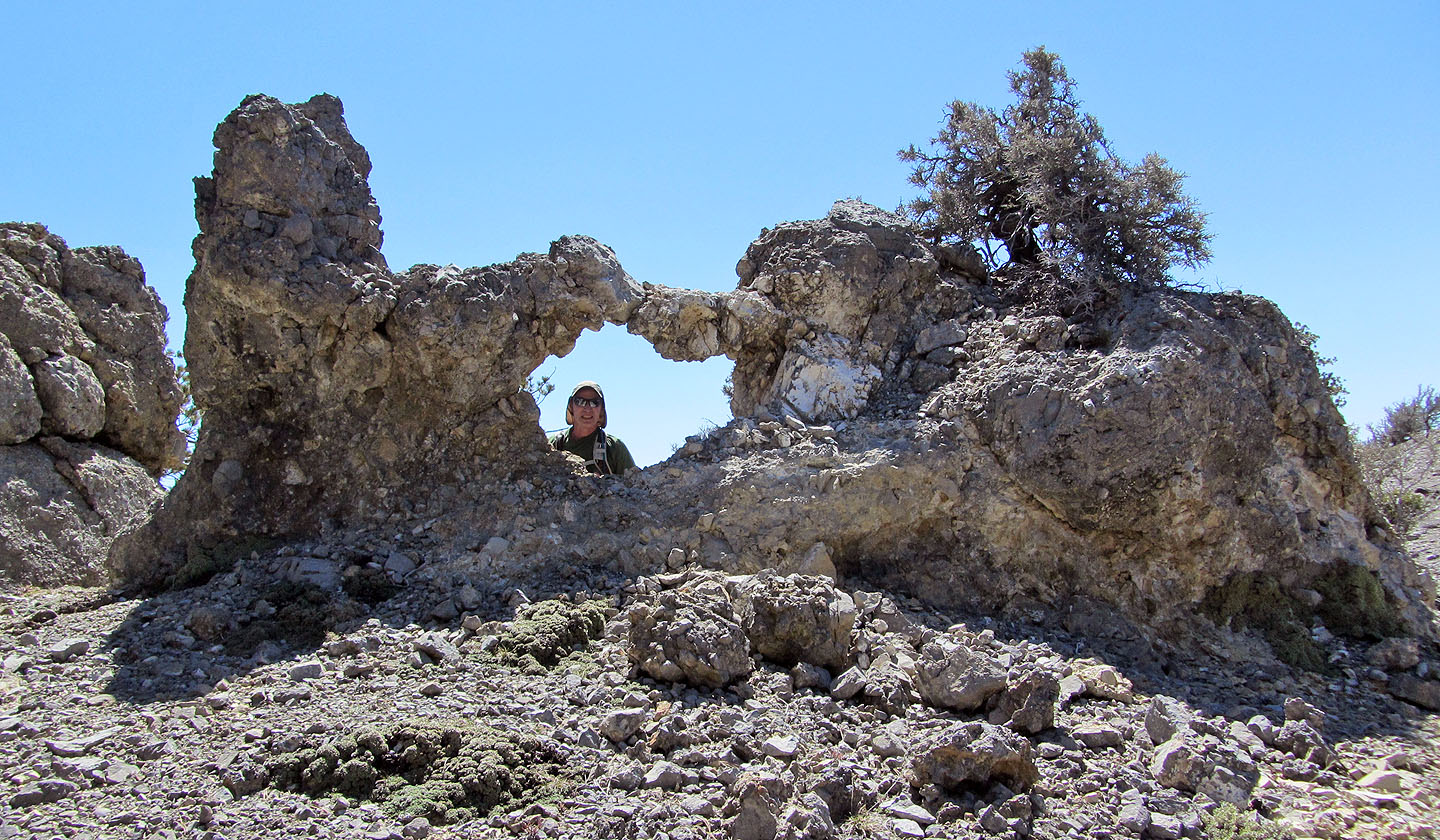
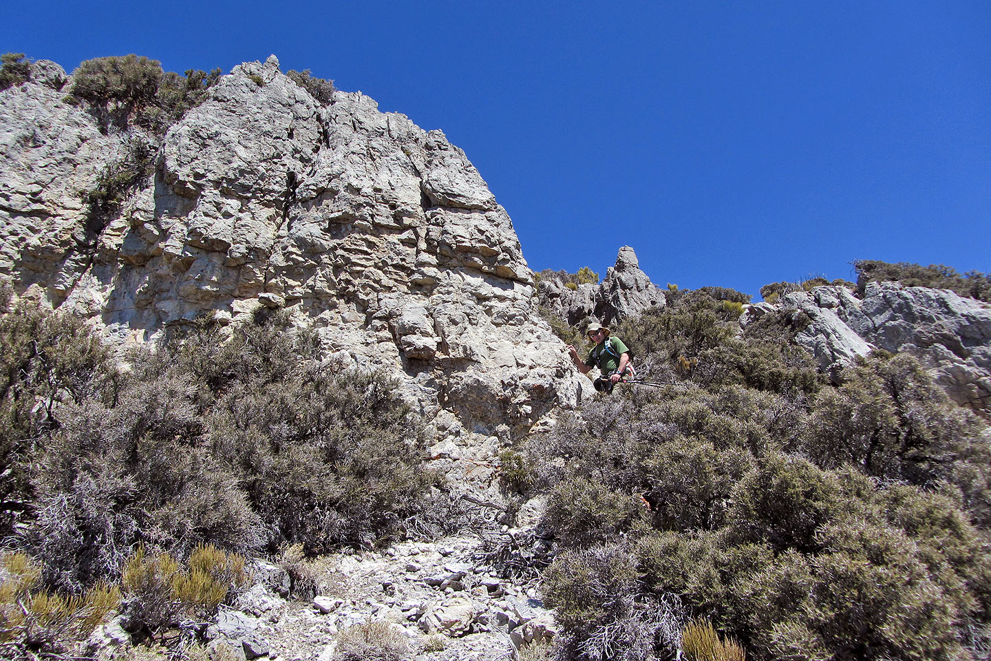
Shin pointed out several windows, including this one
At the high point ahead we'll have a good look at the summit
Before dropping down to the saddle, Shin described the route to the summit: a trail that angles
left into the line of dense trees and then gains the ridge behind cliffs
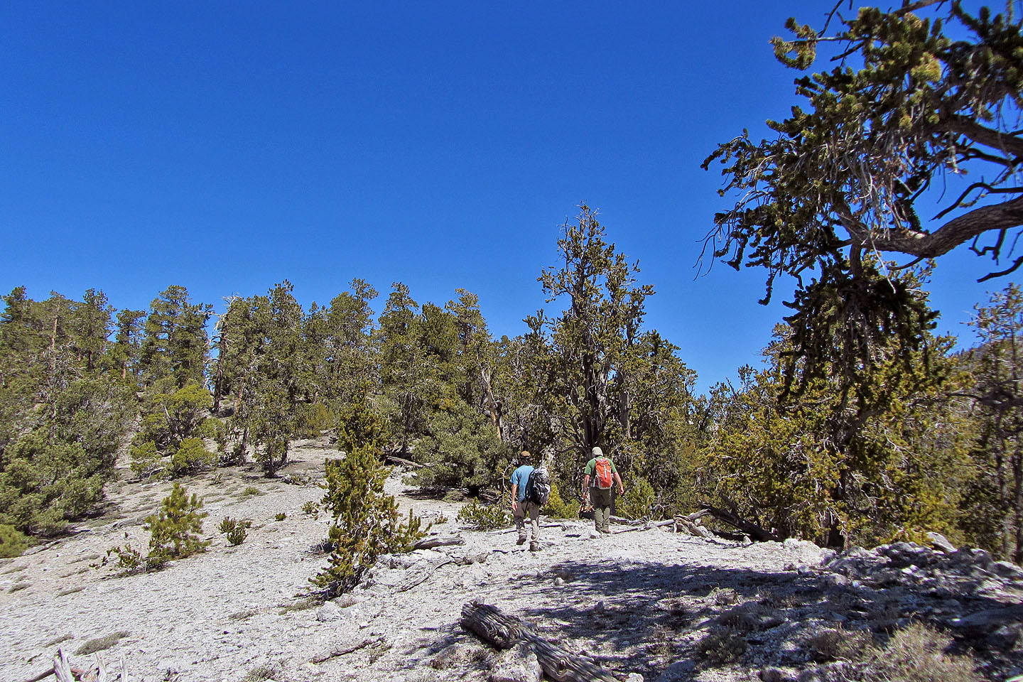
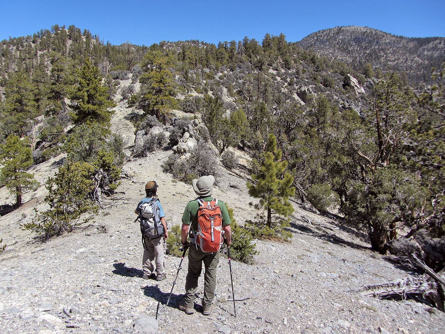
We followed the ridge crest trail to a saddle before the summit
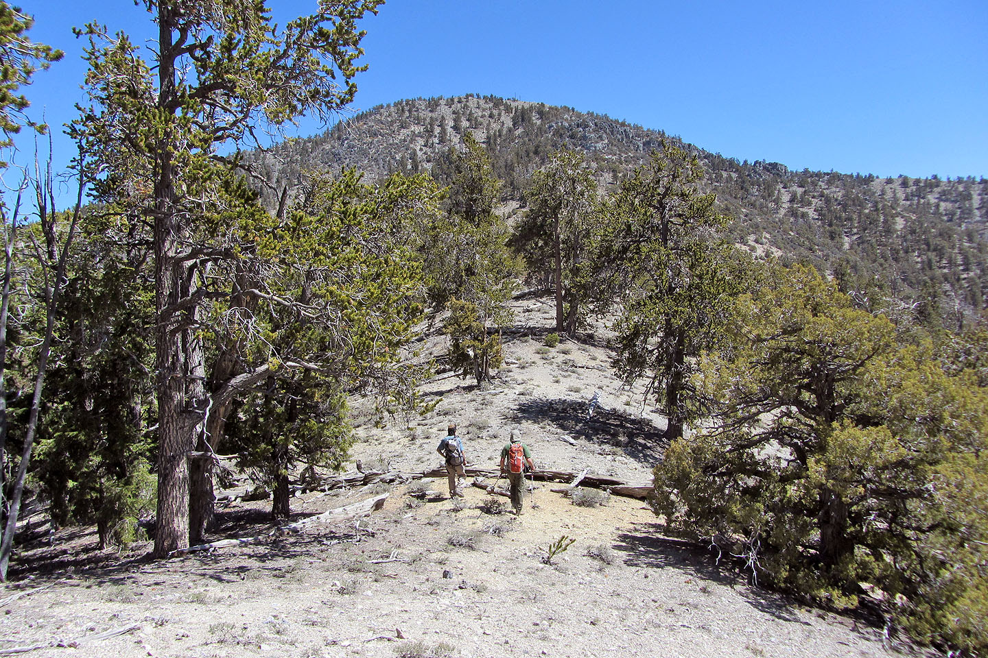
We still have some elevation to climb before reaching the summit
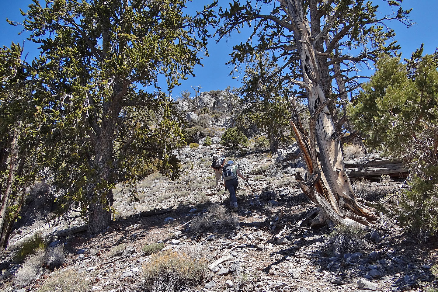
After regaining the ridge, we went to the right side of the outcrop ahead where there's a trail in
the steep rock
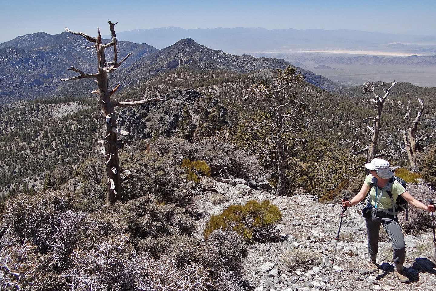
Looking back
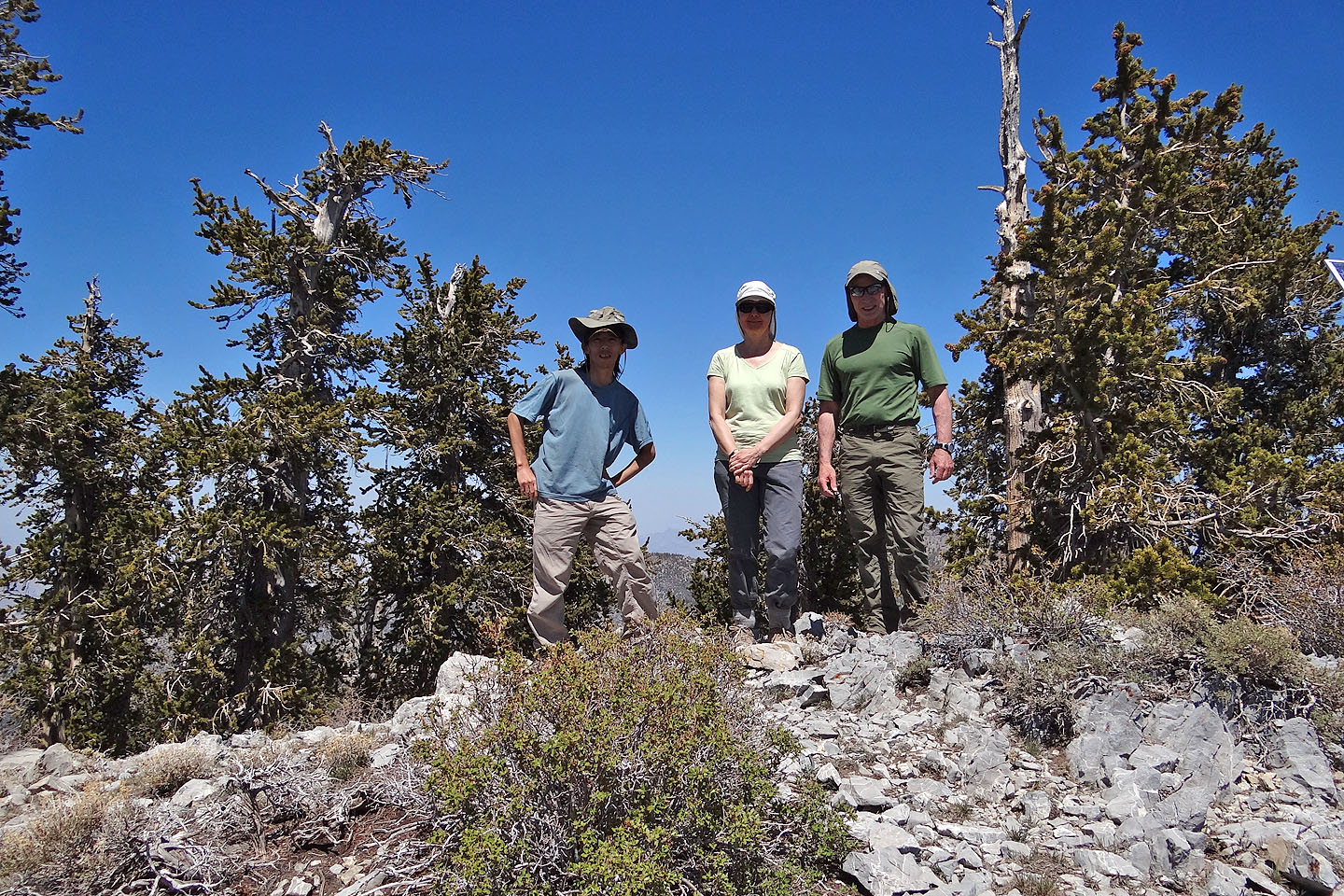
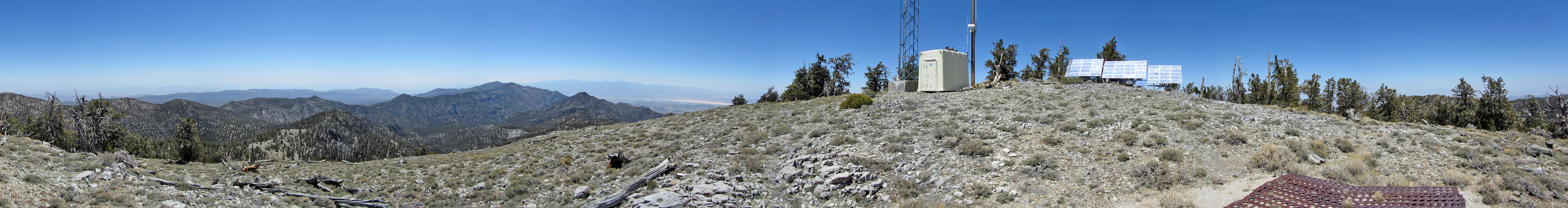
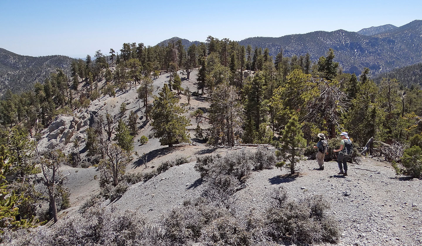
On the treed summit of Hayford
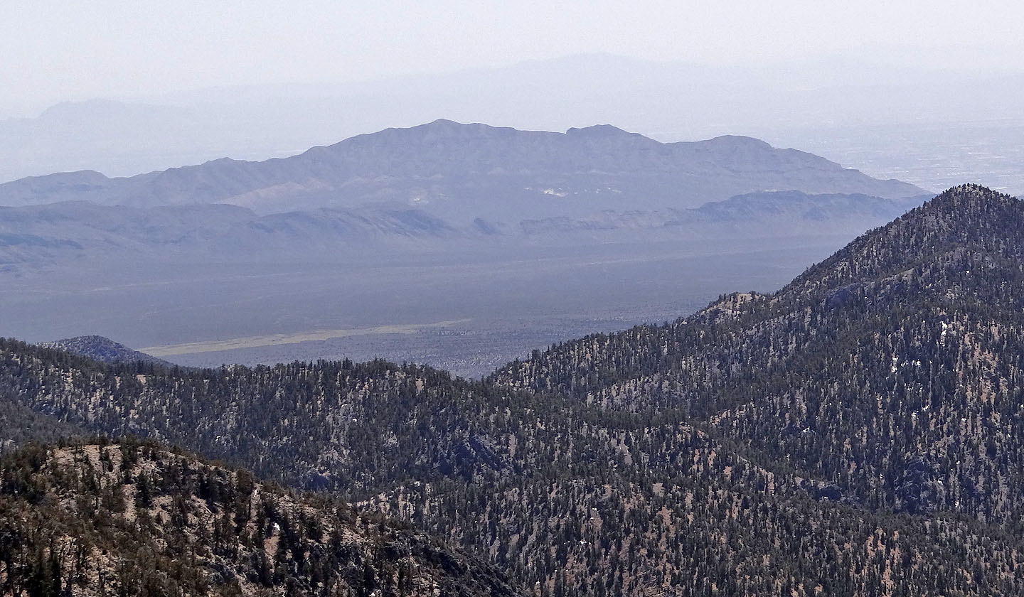
Gass Peak to the south
Heading down from the summit. Sheep Peak in the background.
Skirting around the cliffs
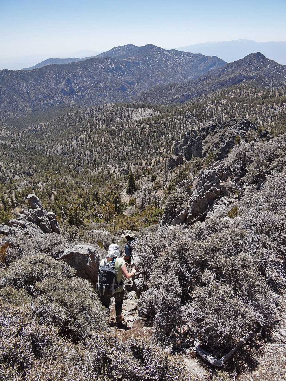
Following the ridge back
Back in Deadman Canyon. Despite the name, we saw no dead men, nor dead women for that matter.
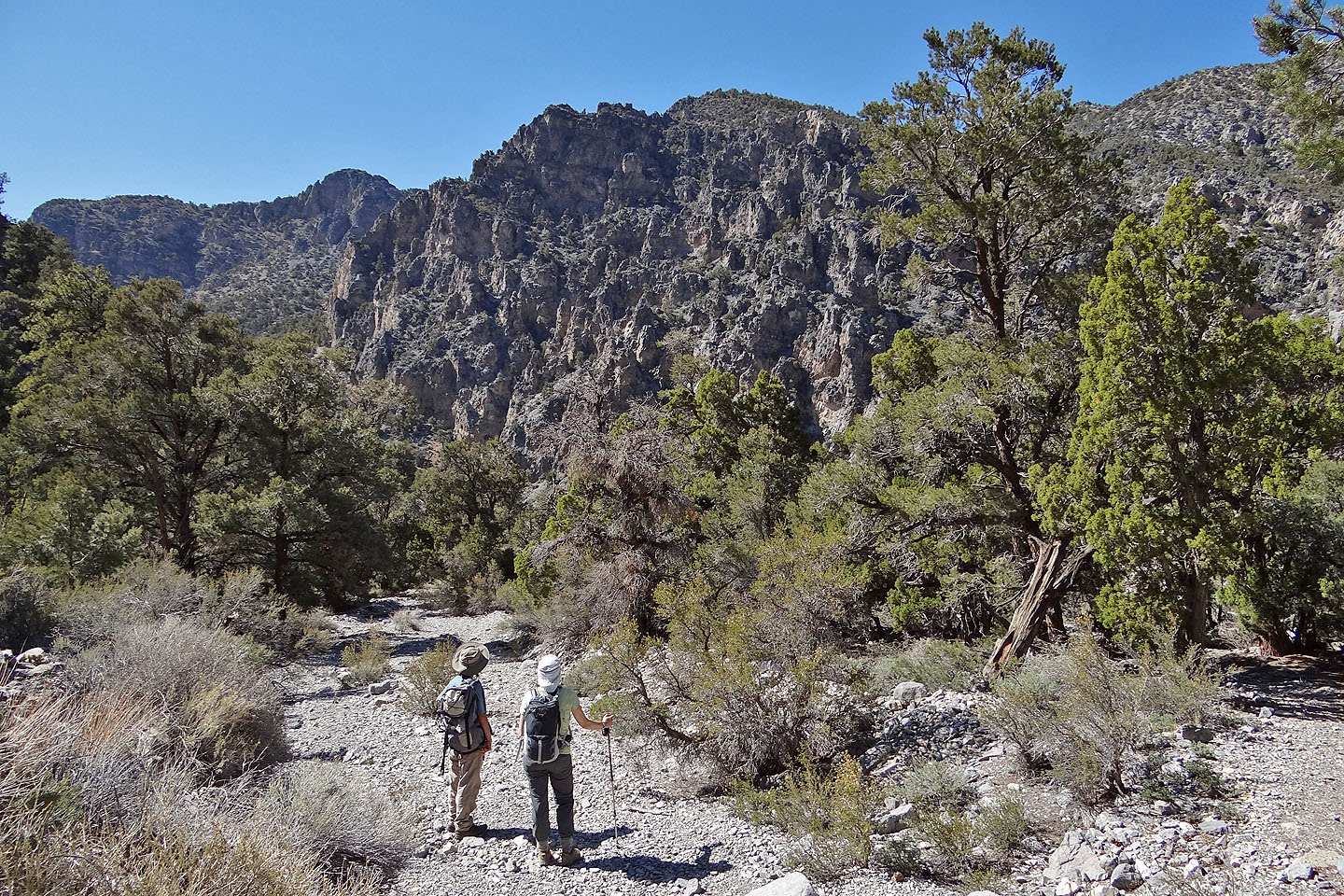
Shin and Dinah study a rugged cliff face
Hayford Peak, White Sage Flats, Black Hills, Sheep Peak (14.7 mi, 9908 ft, 4032 ft)