bobspirko.ca | Home | Canada Trips | US Trips | Hiking | Snowshoeing | MAP | About
Cheyenne Mountain
Las Vegas, Nevada
November 21, 2011
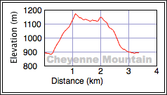
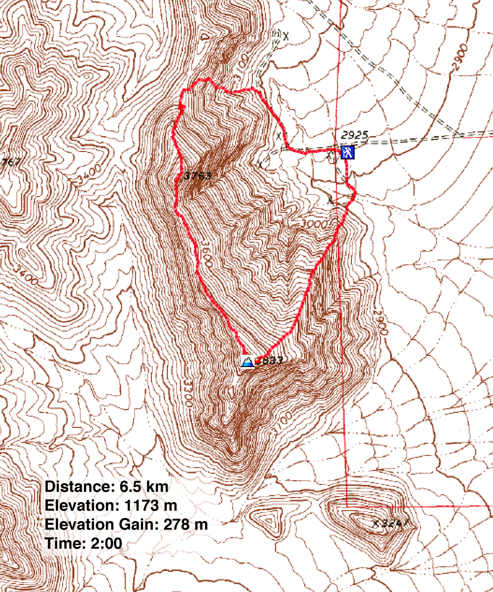
Distance: 6.5 km (4.0 mi)
Cumulative Elevation Gain: 309 m (1014 ft)
Our friend Shin invited Dinah and me for a ridgewalk on Cheyenne Mountain. Although he had to work that day, he didn't have to be on the job until the afternoon, and that gave him enough time for a quick trip in the morning.
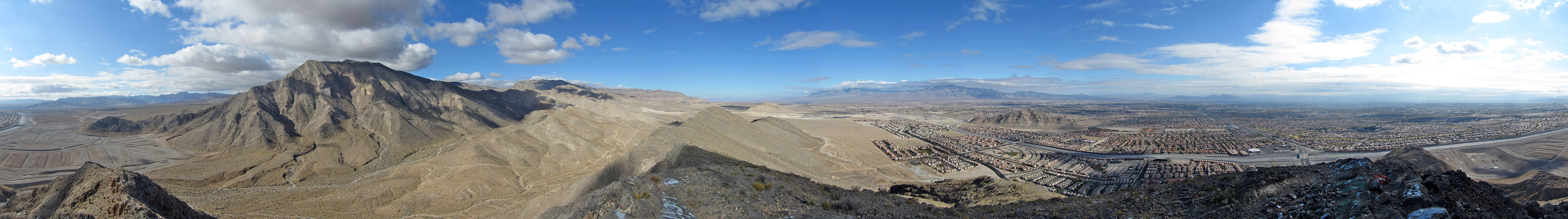
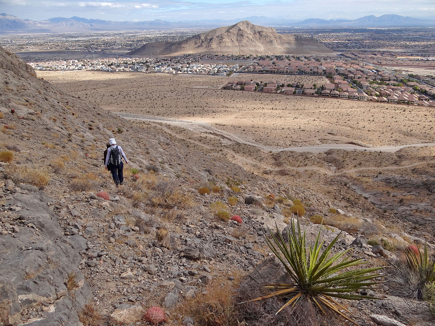
There are few peaks like Cheyenne that are so short and quickly accessed from Las Vegas. The mountain sits on the western edge of the city, so close to homes that I wondered if a strong arm could throw a rock from the summit and strike a house. Even so, the mountain held a sense of isolation.
We parked at the west end of W Alexander Road, west of Cliff Shadow Parkway which can be accessed from Interstate 215. Shin led us to the summit and then north along the ridge. The rock spine at the north end added a pleasant diversion before we dropped down to a dirt road which led back to our car.
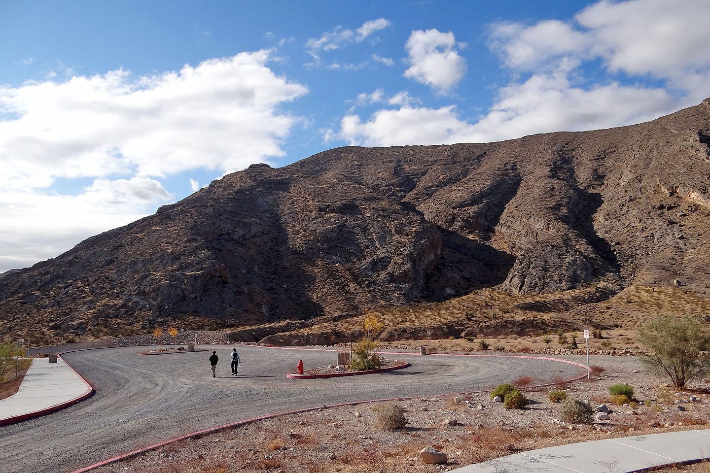
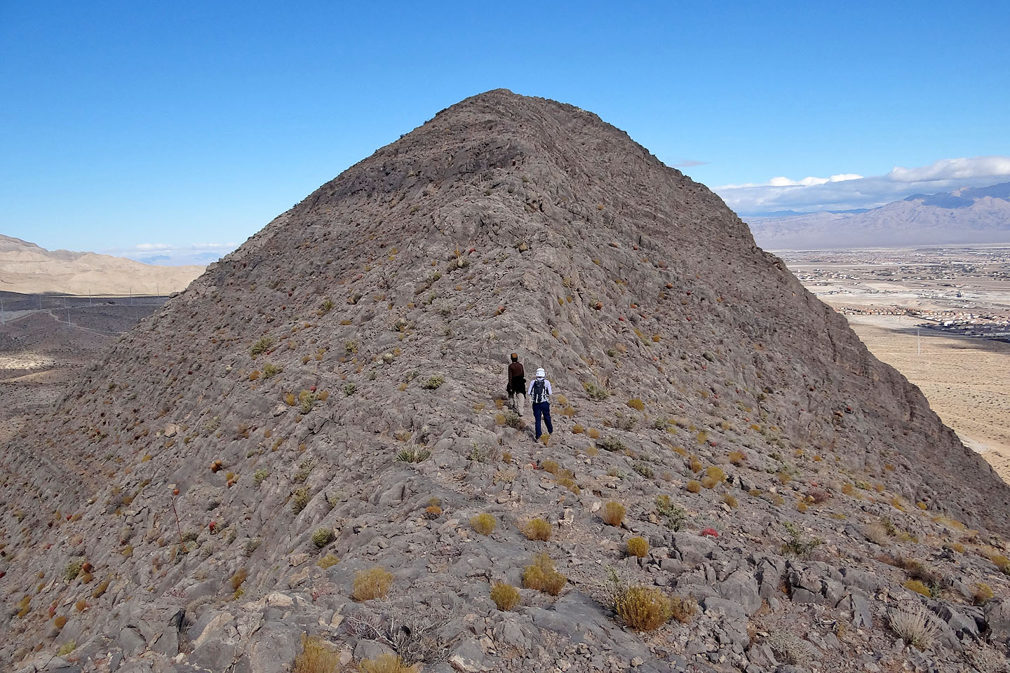
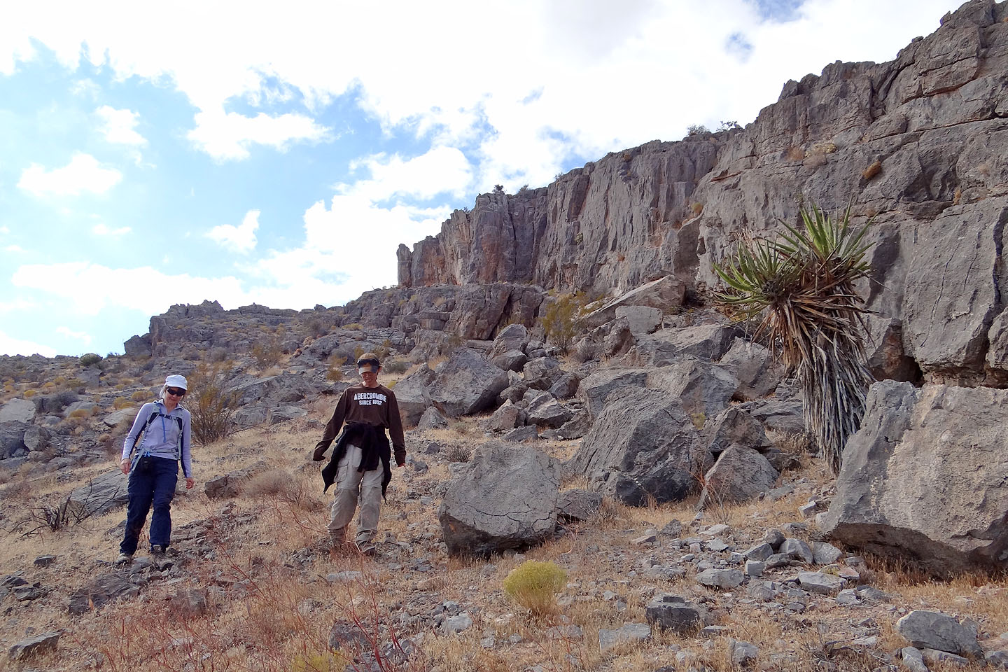
Walking to the base of the mountain. Summit is centre.
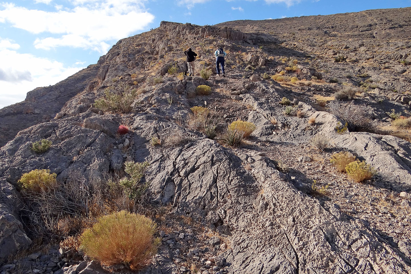
The entire trip was little more than an offtrail hike

Shin points to a flag.
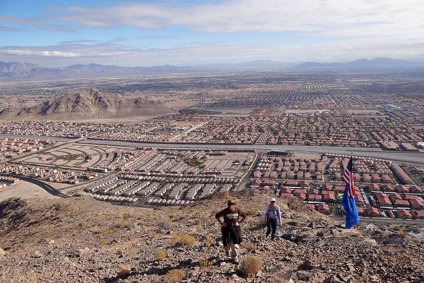
We passed by the flag. Lone Mountain on the left.
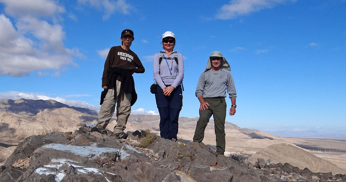
On the summit
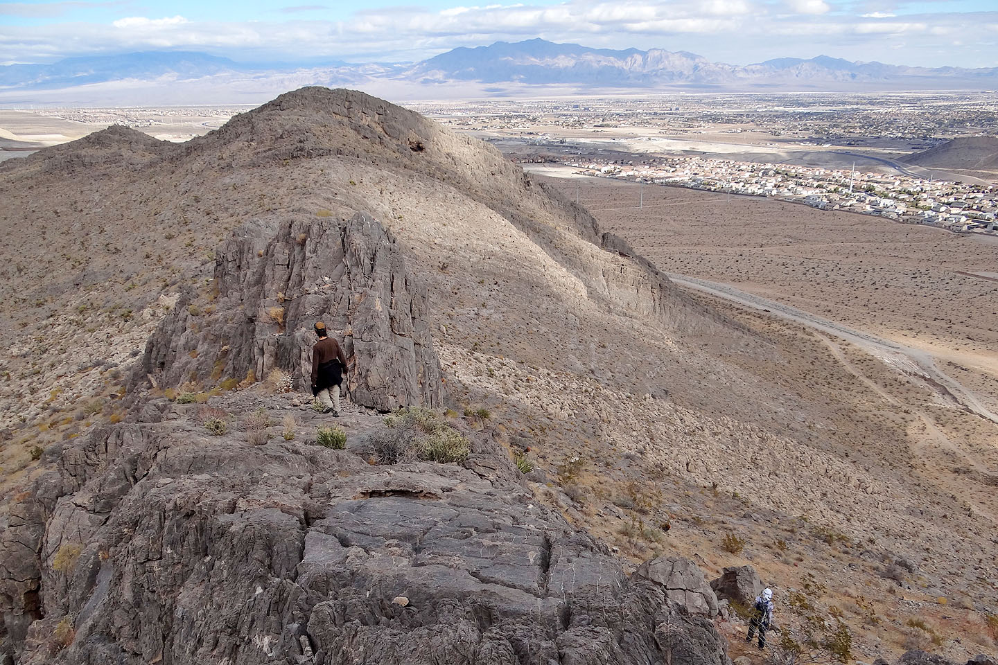
Hiking to the first high point
First high point
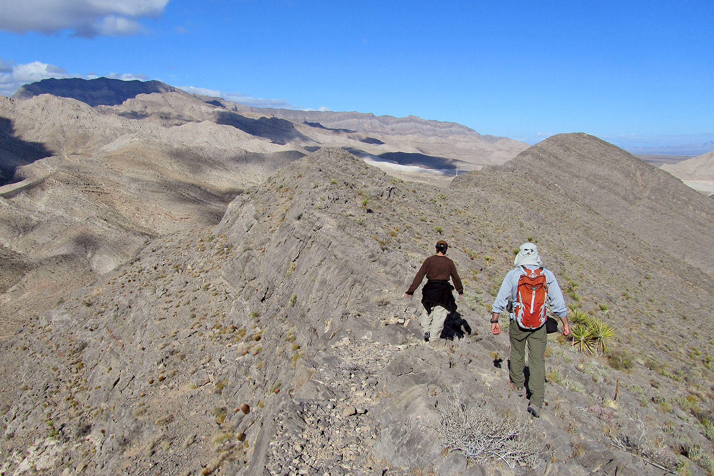
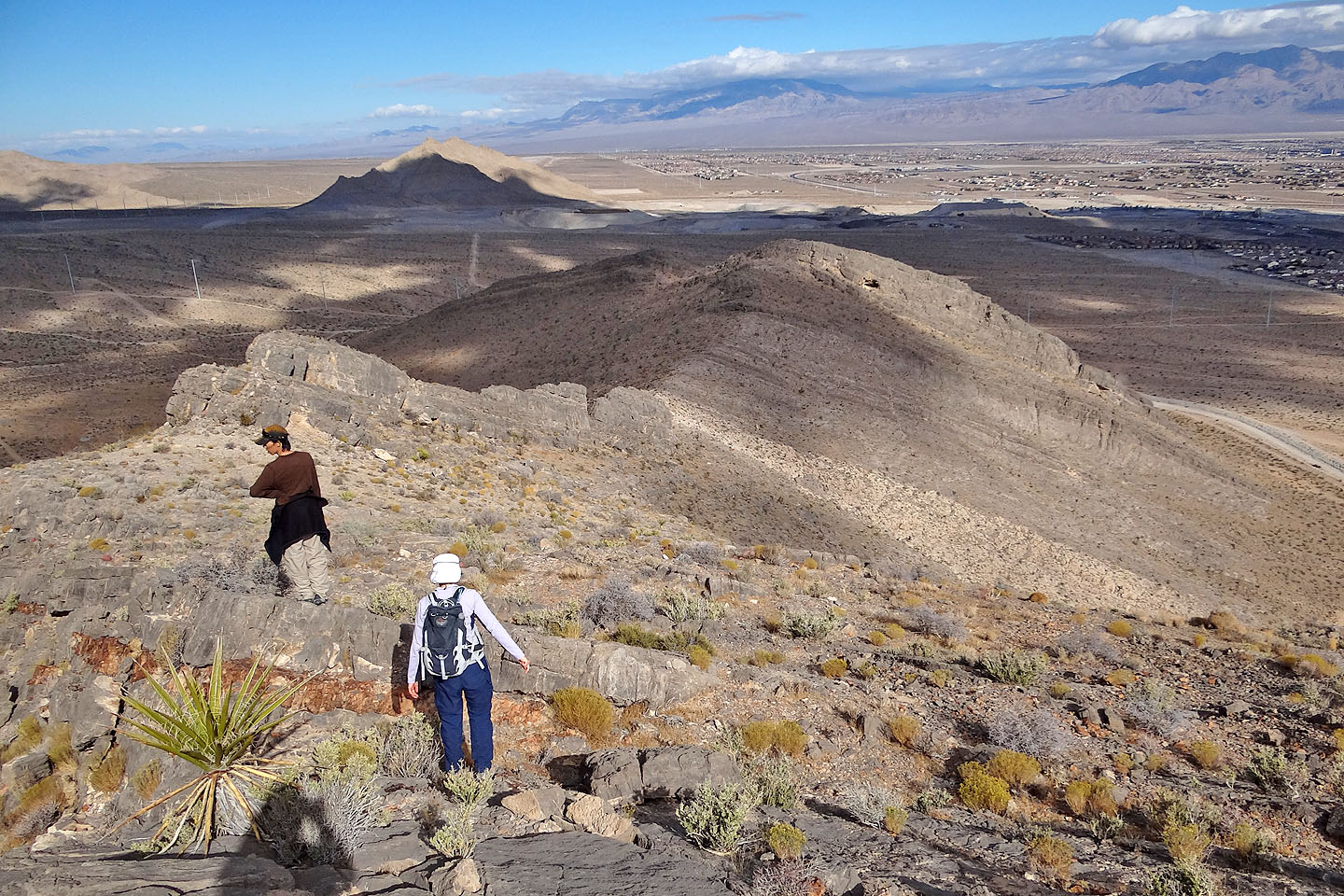
Second high point
Looking back
Easier to go left. Once past the spine, we descended the strip of white rocks in the slope.
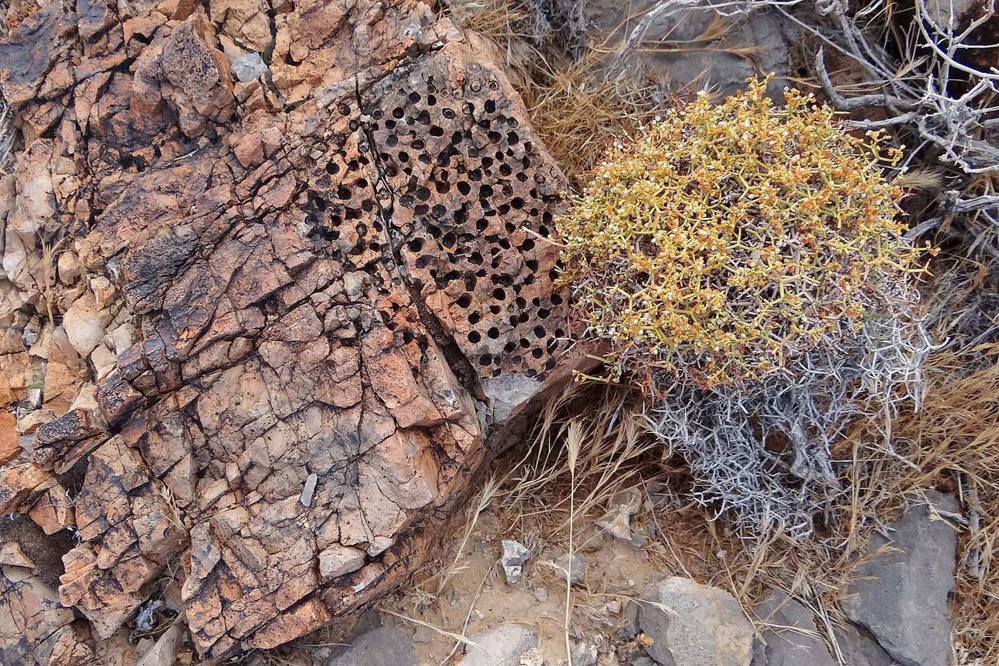
Some unusual fossils
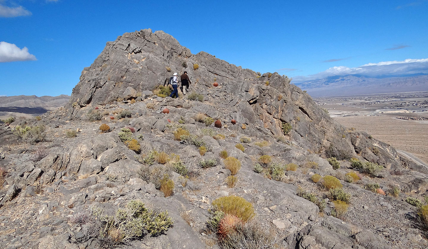
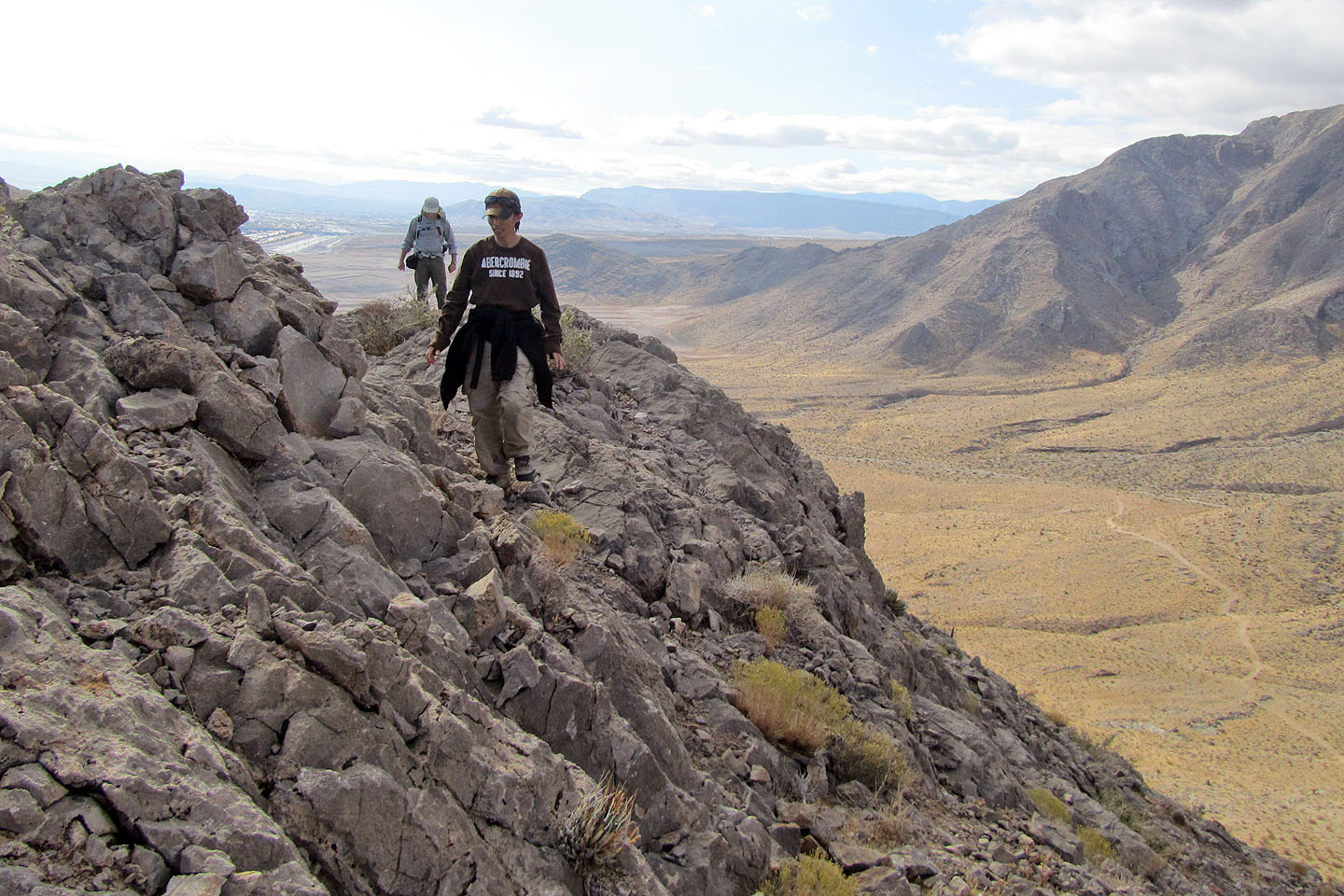
Walking alongside a rock spine
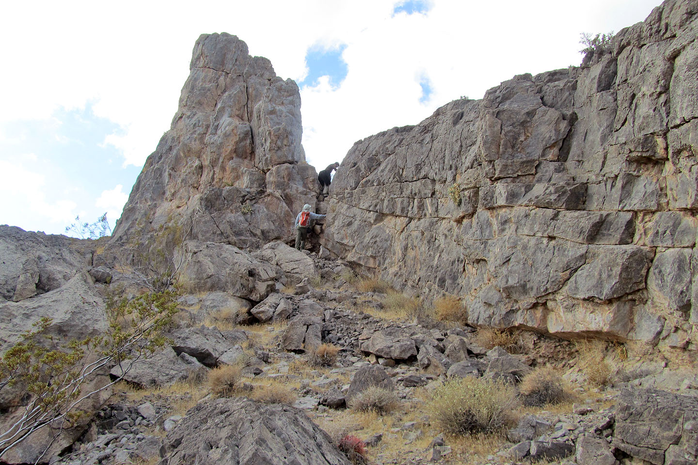
Shin and I dropped over the spine
View from the spine
Looking back up the west side of the spine
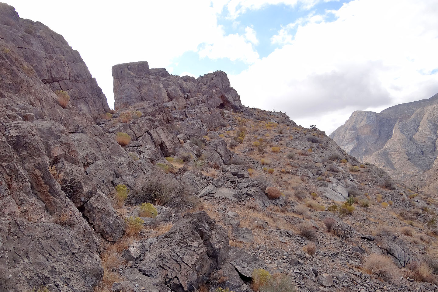
Heading down to the bottom

Looking back at the ridge
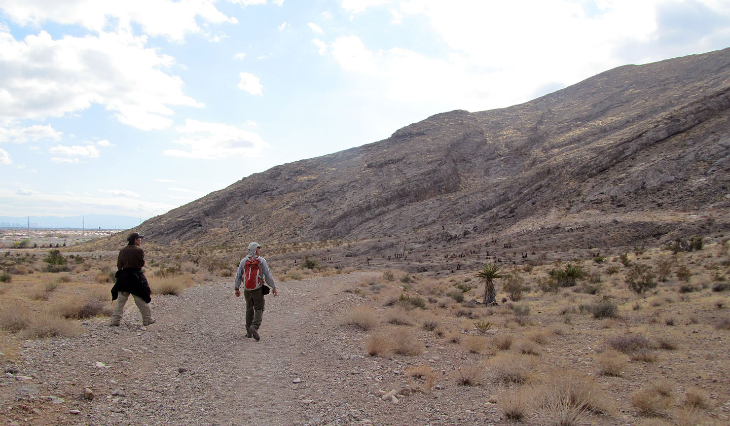
Walking back along the road to our car
Blue Diamond NE (4.0 mi, 3848 ft, 912 ft)