bobspirko.ca | Home | Canada Trips | US Trips | Hiking | Snowshoeing | MAP | About
Baseline Mesa
Valley of Fire State Park, Nevada
April 7, 2019
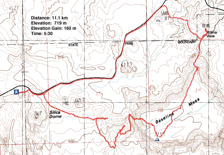
Distance: 11.1 km (6.9 mi)
Cumulative Elevation Gain: 250 m (820 ft)
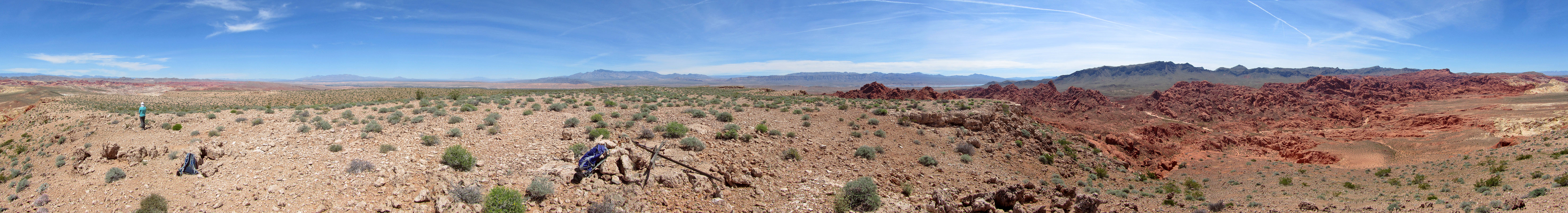
The Valley of Fire is known for its colourful sandstone, but Baseline Mesa is one exception. Instead of rock, its surface is scrubland. Although the top of the mesa is unremarkable, other than the grand views, our route there, through the beautiful Painted Pinnacles wowed us, making it a worthwhile hike.
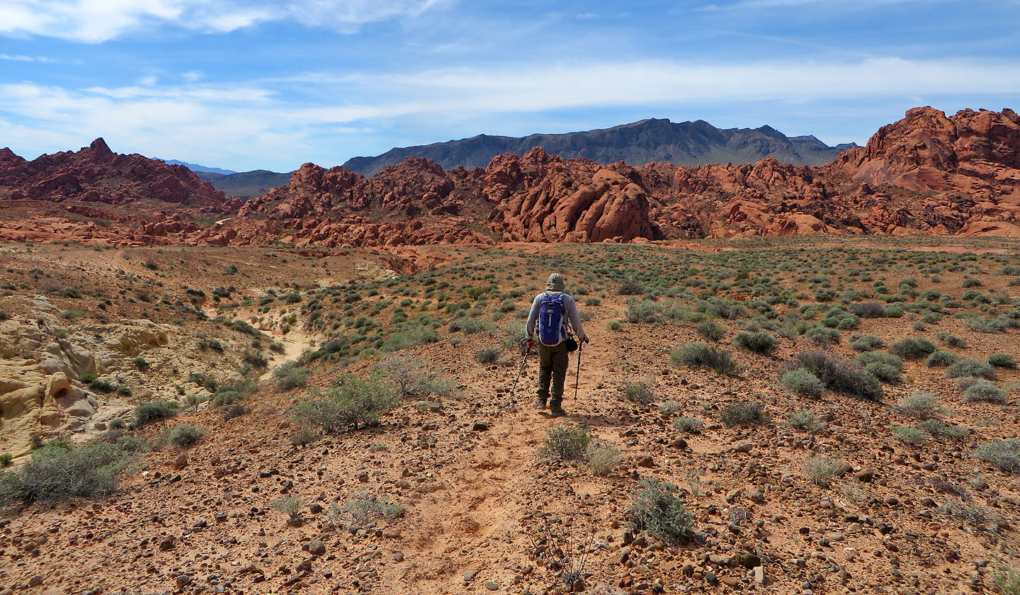
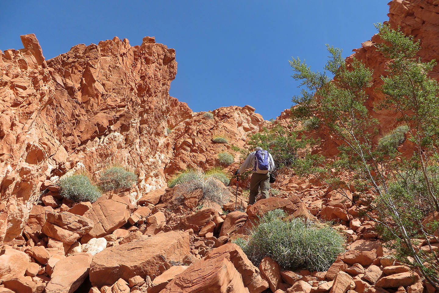
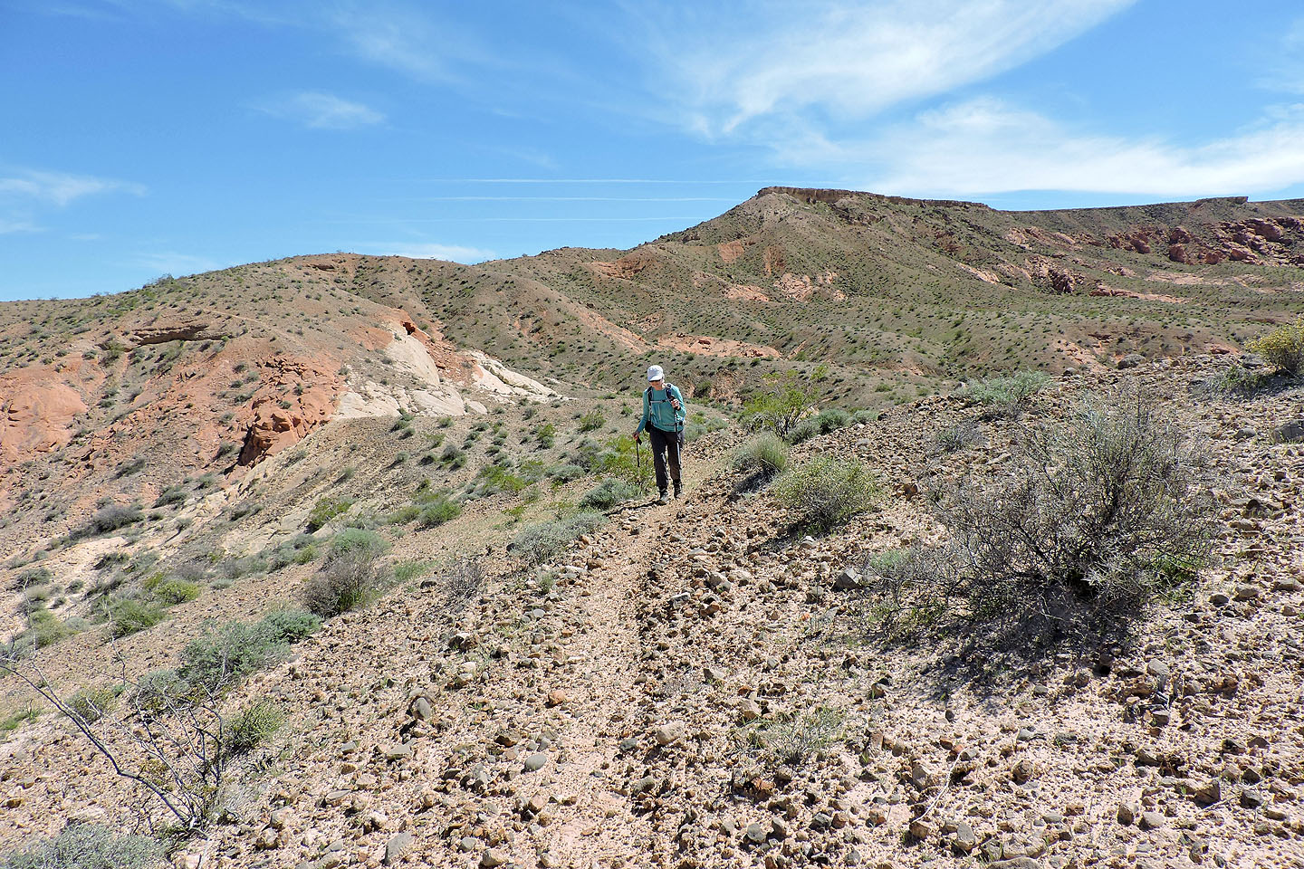
Dinah and I began our trip at the end of Fire Canyon Road, at the trailhead for Silica Dome. A short trail leads to a road, and we soon passed Silica Dome. When the road swung right, we left it and struck out across the desert flats, aiming for a low ridge.
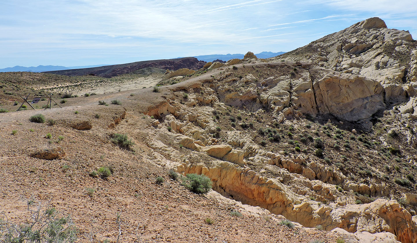
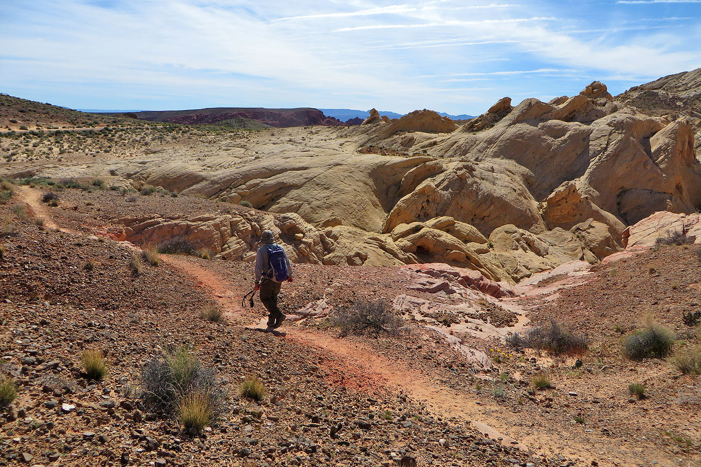
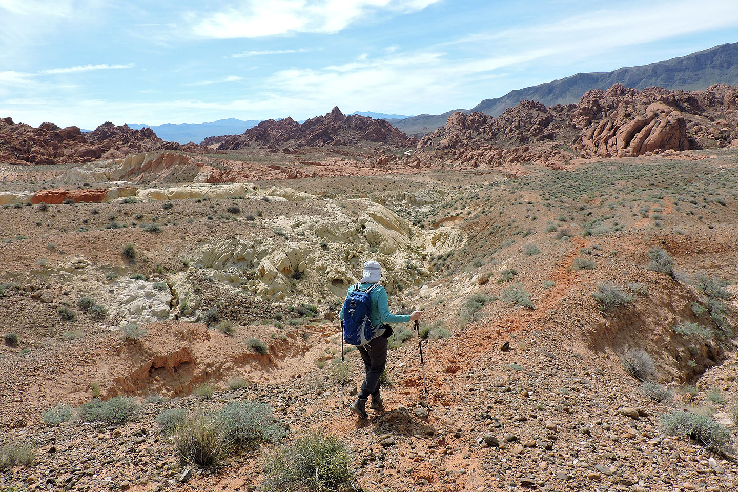
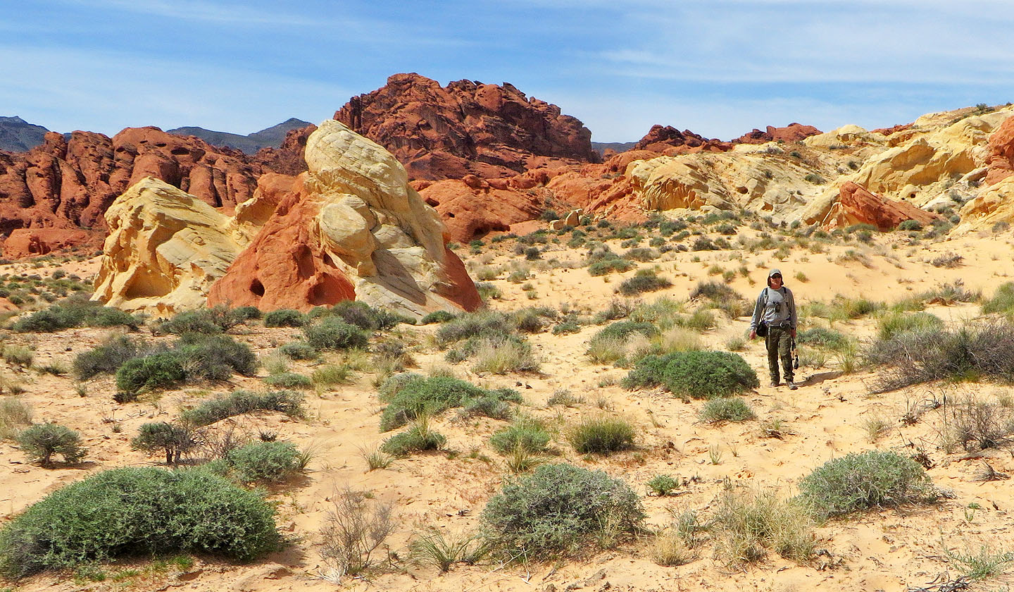
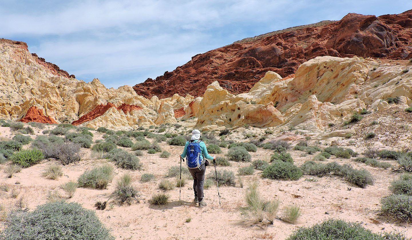
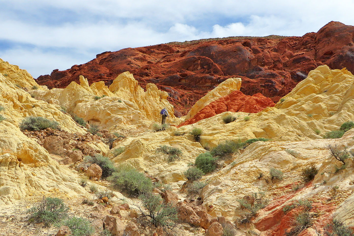
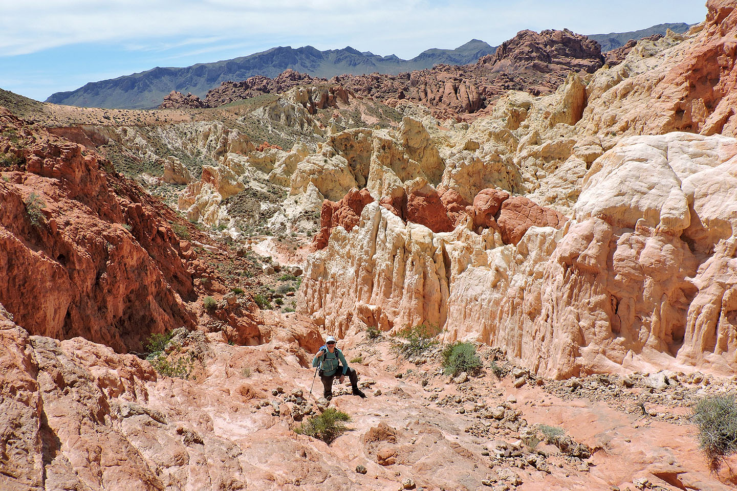
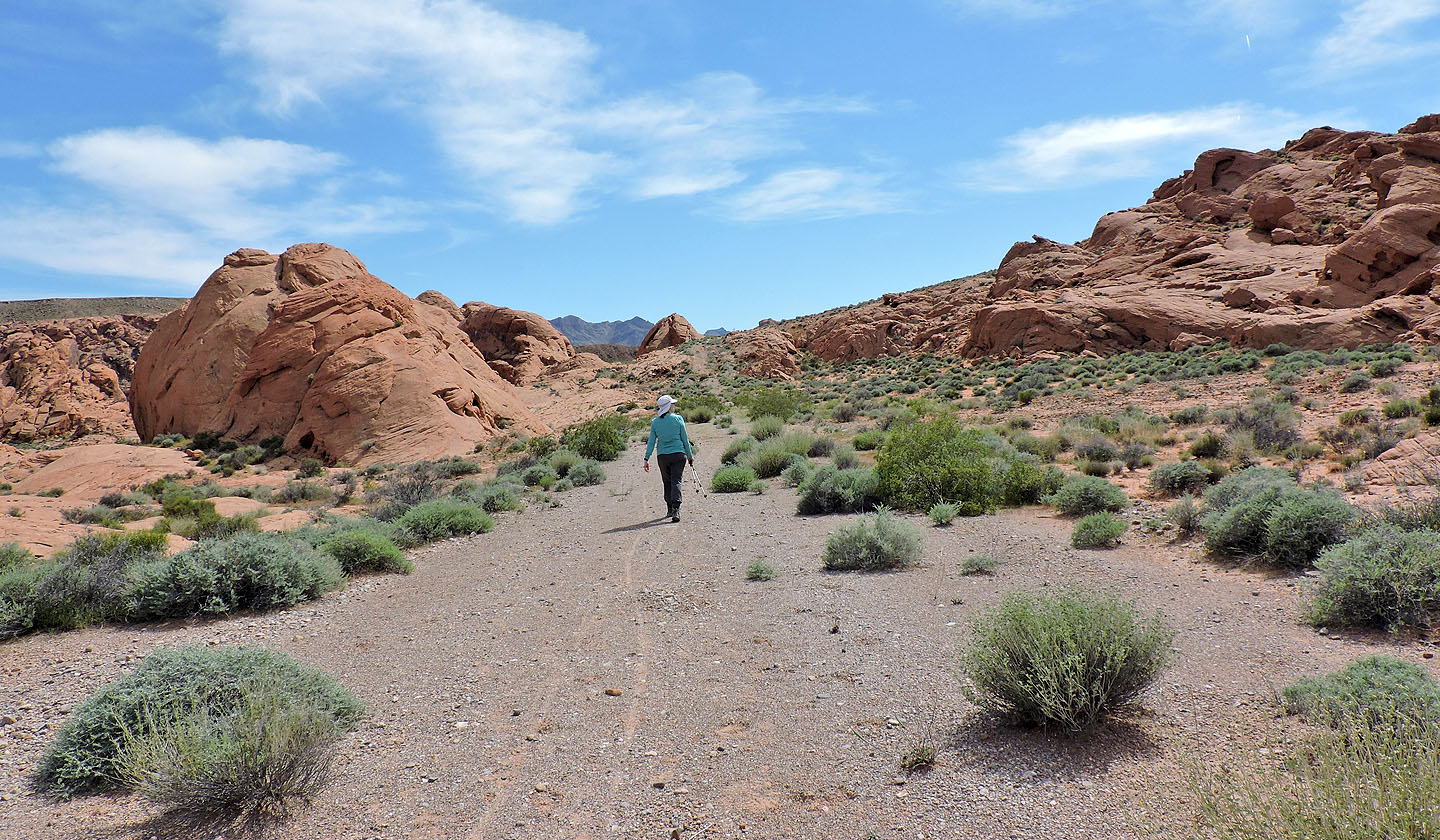
After reaching the ridge, we started along a crest trail. This trail reaches a saddle where we wanted to go, but then we would miss the Painted Pinnacles. However, we went too far and had to backtrack a bit to a side trail leading to a wash. We followed the wash to the Painted Pinnacles. We explored the pinnacles, taking in their bright colours and eye-catching shapes, before returning to the wash.
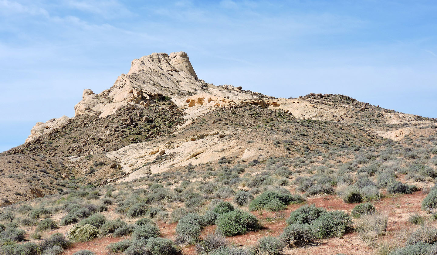
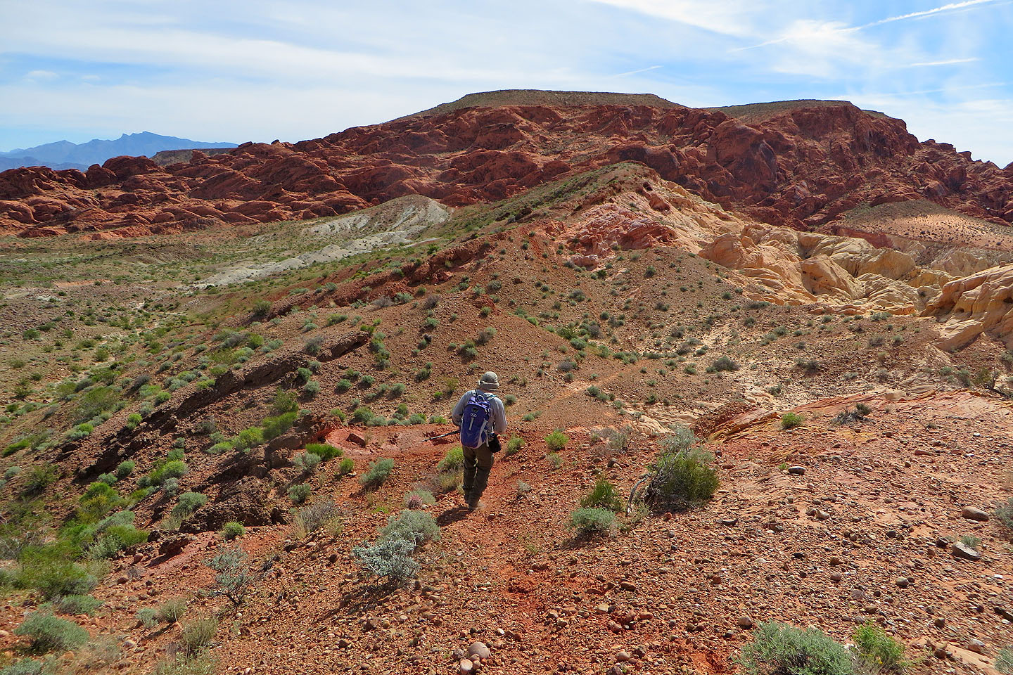
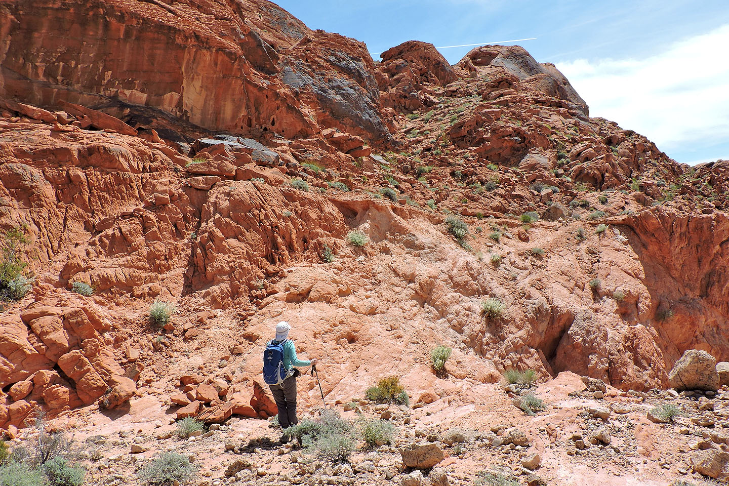
Continuing up the wash, we found ourselves in an ever-narrowing canyon. It ends at the saddle connecting the ridge we had been on and Baseline Mesa. After climbing to the saddle, we hiked up a sandstone ramp. Above the ramp, we followed easy ledges to the edge of the mesa. The entire trip never exceeded class 2.
Rather than being flat, the mesa, covered in desert shrubs, spread out like a rumpled carpet. We turned north and headed to the highest point. There we found a cairn but no summit register. After lunch, we made our way to the south end of the mesa.
But on reaching the end of the mesa we were flummoxed. We could see a trail below, but there appeared no easy way to get down a cliff band. Misled by cairns (they seemed to serve no purpose), we first searched the west side before realizing the trail is accessed on the east side, 50 m before the end of the mesa. A weakness in the cliff allows easy access to the trail but is not marked by any cairn. We followed the trail down a ridge.
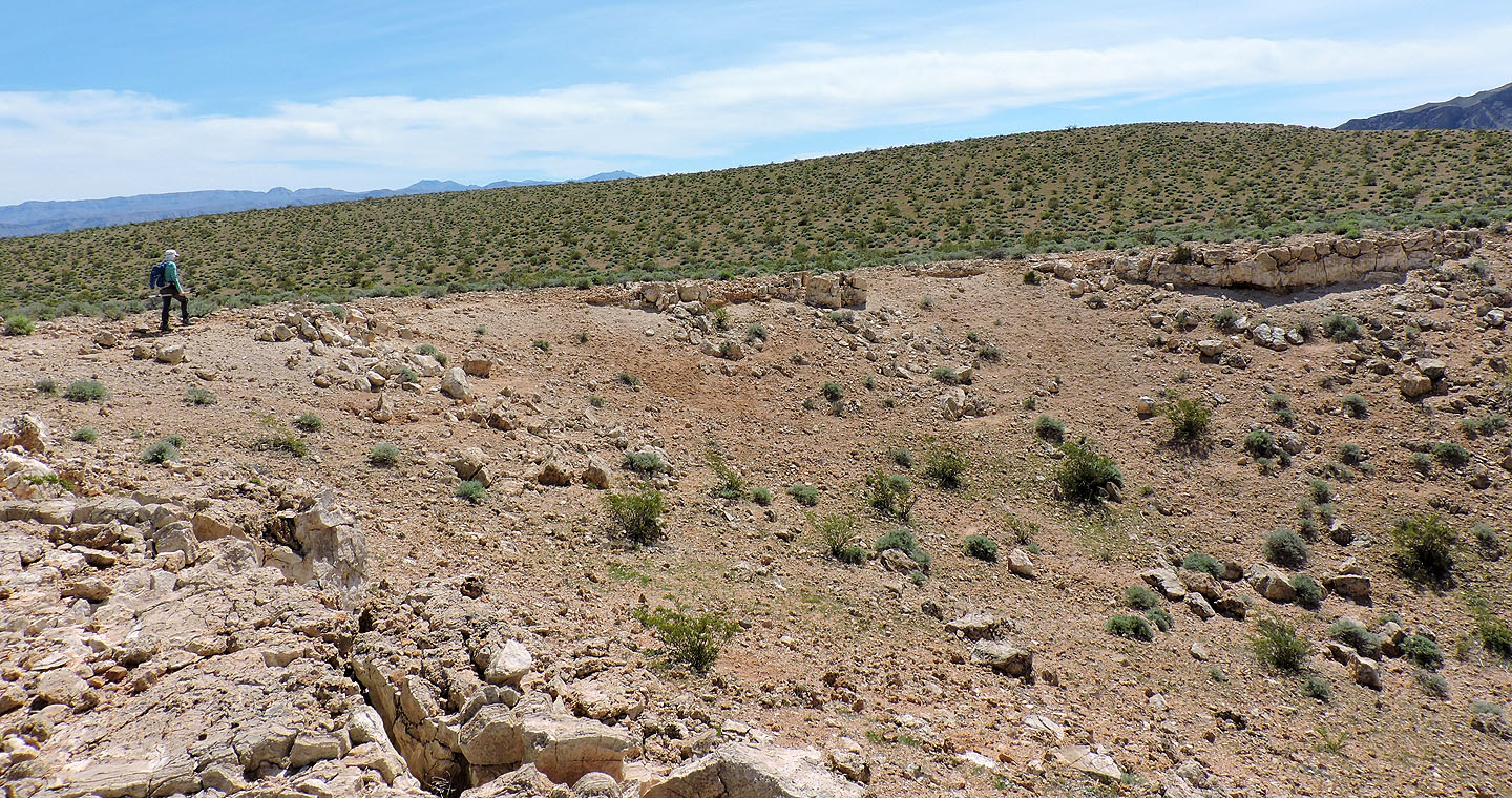
The trail leads to a road, which in turn, leads to Buenos Vista, a campground dating back to the early 1930s. There we surveyed old stone structures still standing.
We originally had planned to follow a wash from the Buenos Vista back to the parking lot, but having lost time routefinding, we now faced rising temperatures in the mid-afternoon. Dropping down into the wash would likely mean insufferable heat, not to mention a longer trip. Instead, we followed a trail from the cabin to a road and walked back along the road.
Baseline Mesa (left) seen from the parking lot. Silica Dome is right.
Starting down the trail
We passed Silica Dome
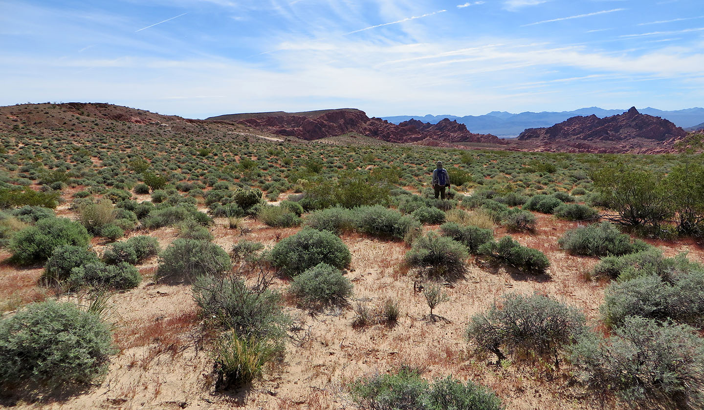
We headed to the low ridge on the left
We followed the ridge trail too far before realizing we passed the descent trail
After backtracking a bit, we found the descent trail
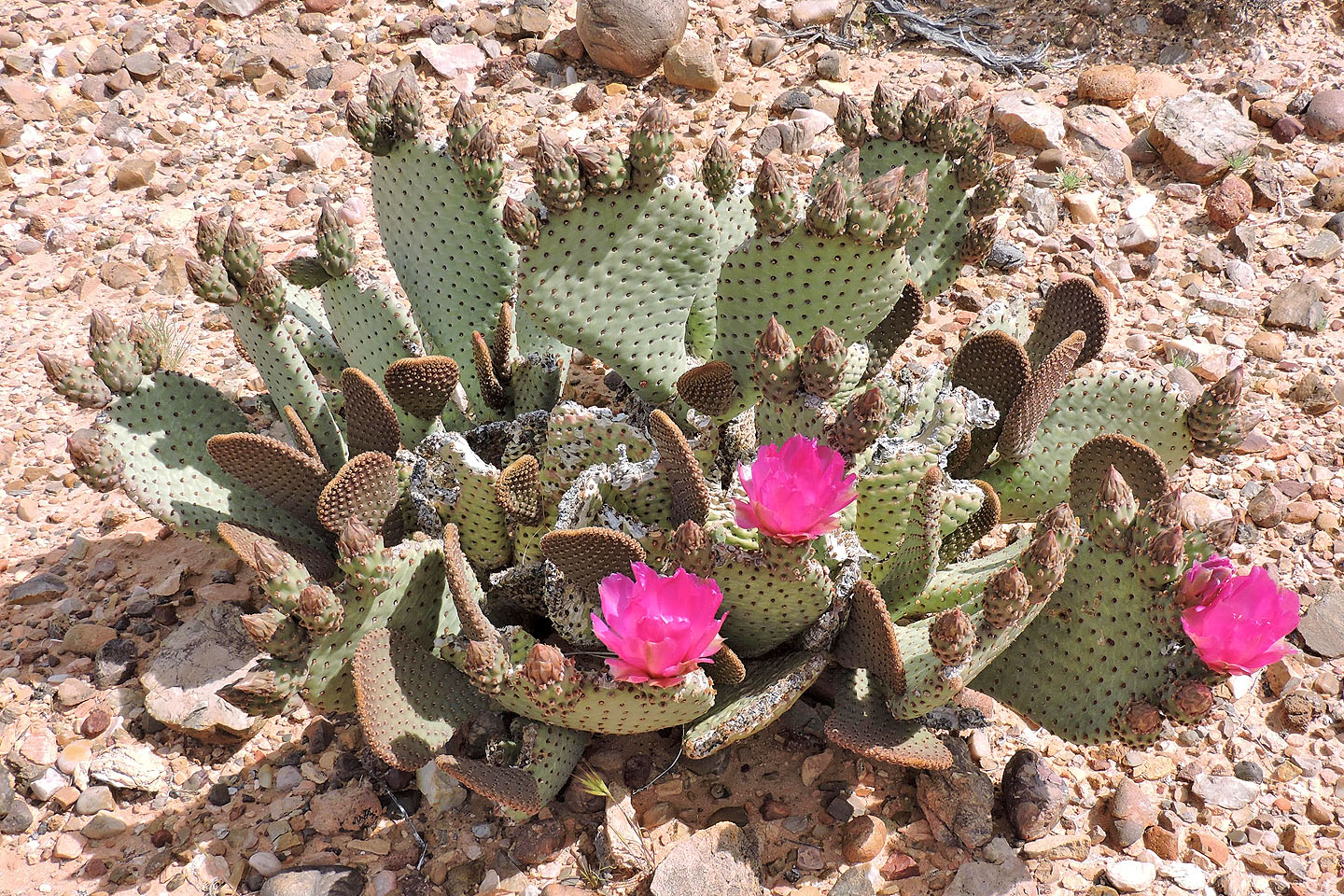
Beavertail cactus
The trail crosses the wash on our left
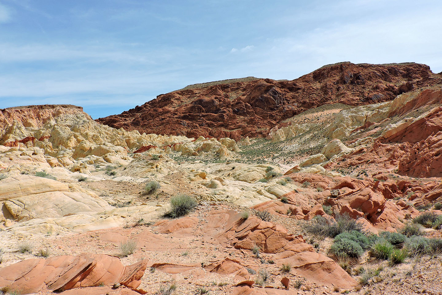
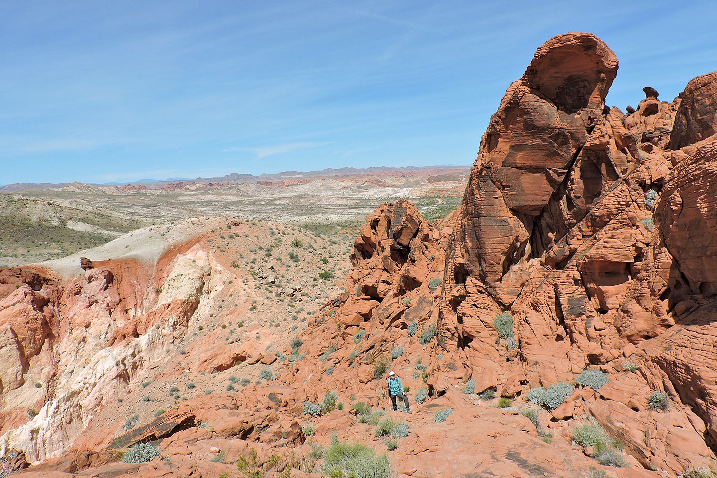
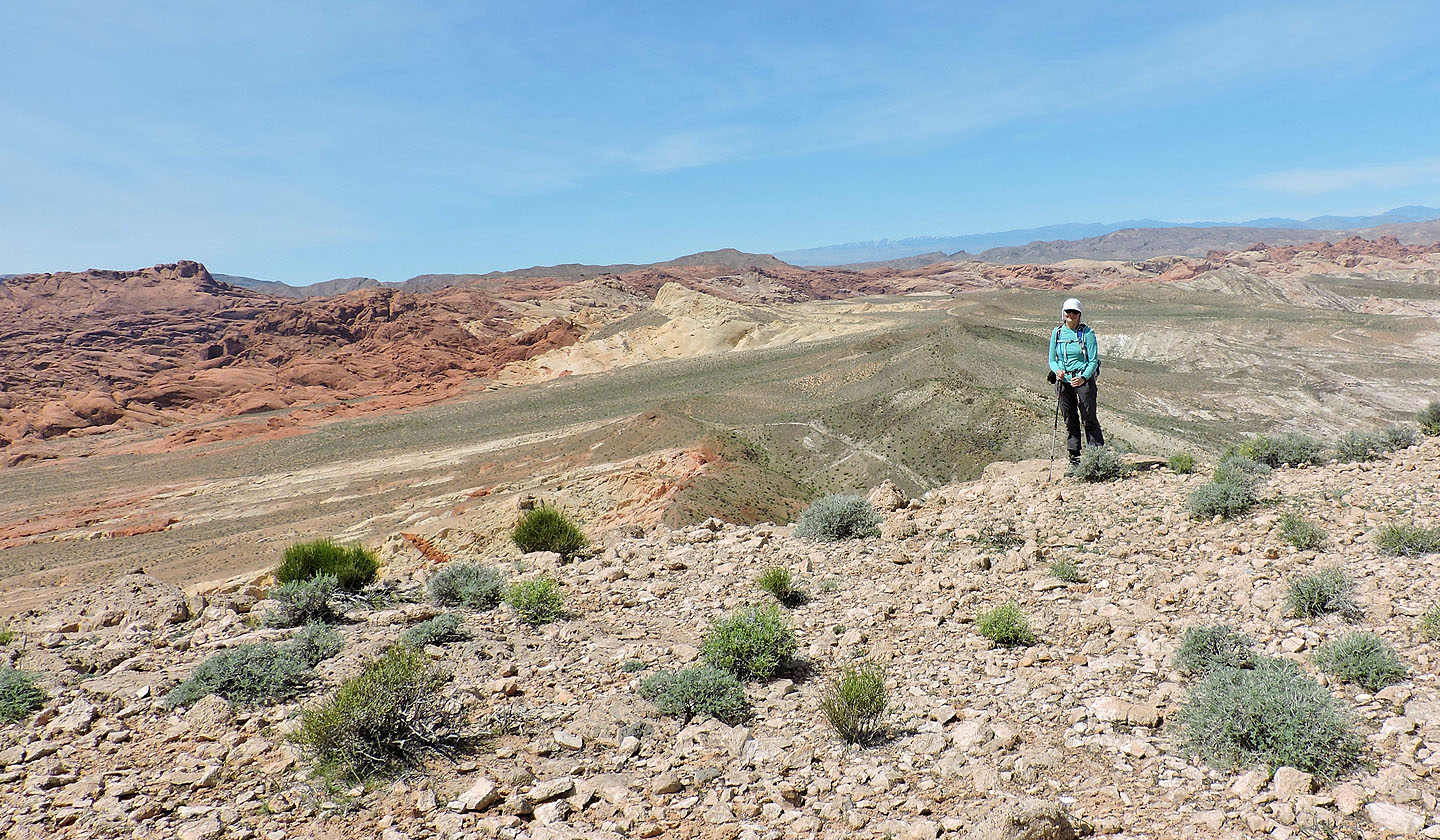
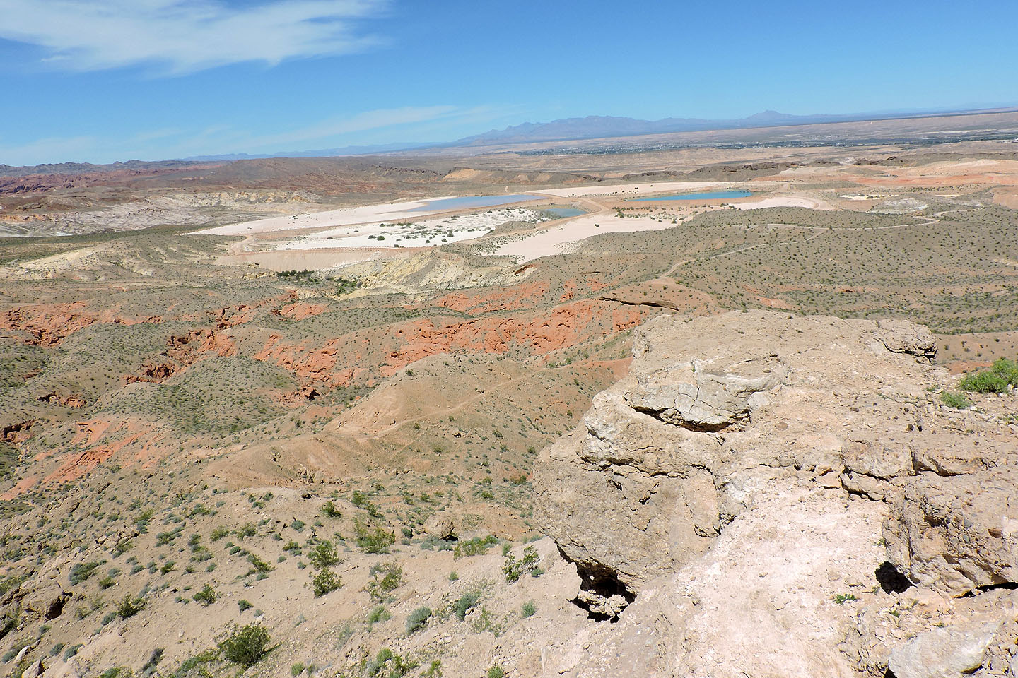
We'll end up in the valley below. Painted Pinnacles are left. The summit of Baseline Mesa is right.
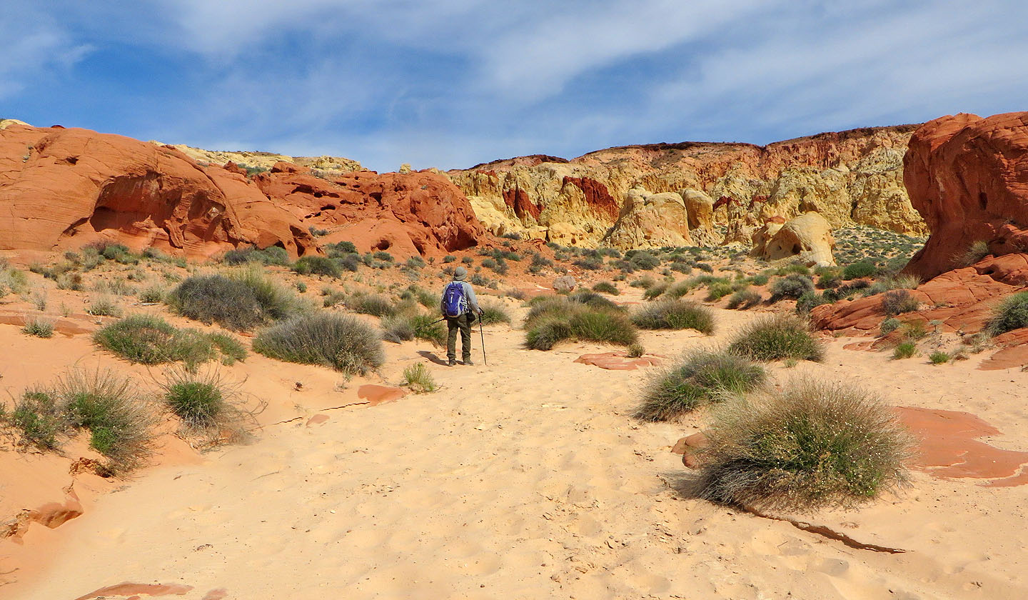
After reaching the bottom we headed to the pinnacles
Looking back after passing a pinnacle
Heading into the pinnacles
We ventured into the pinnacles a short distance before turning around and dropping back into the wash
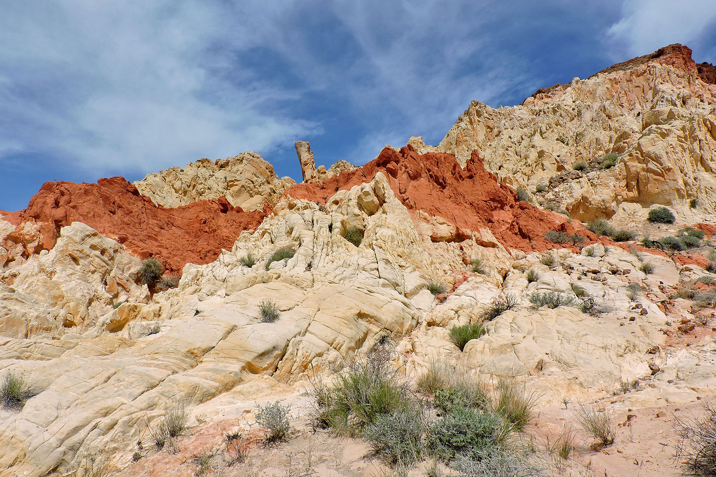
One could spend a while exploring the area
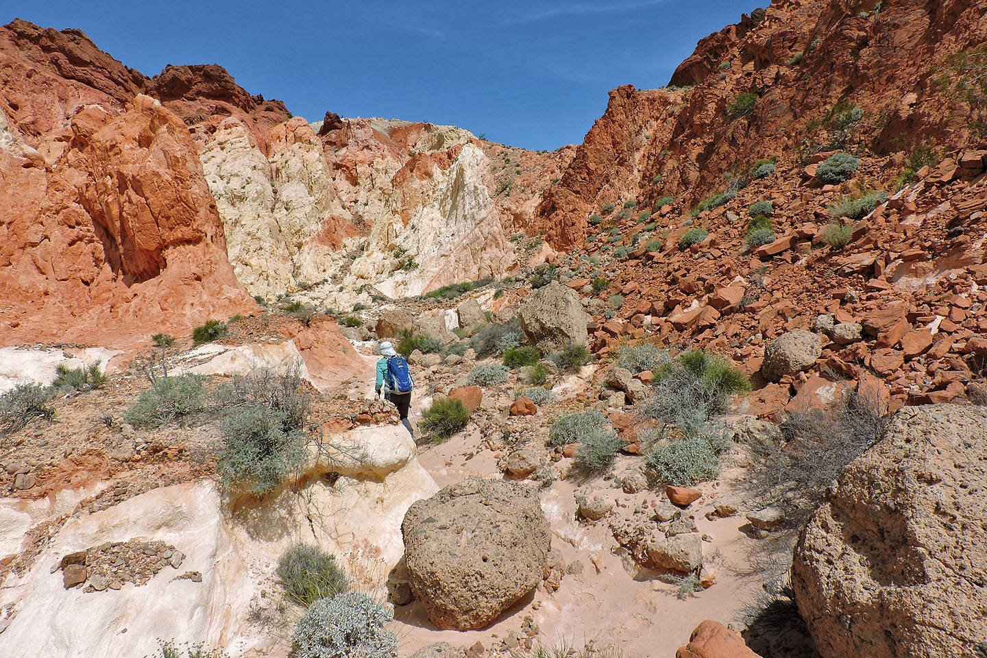
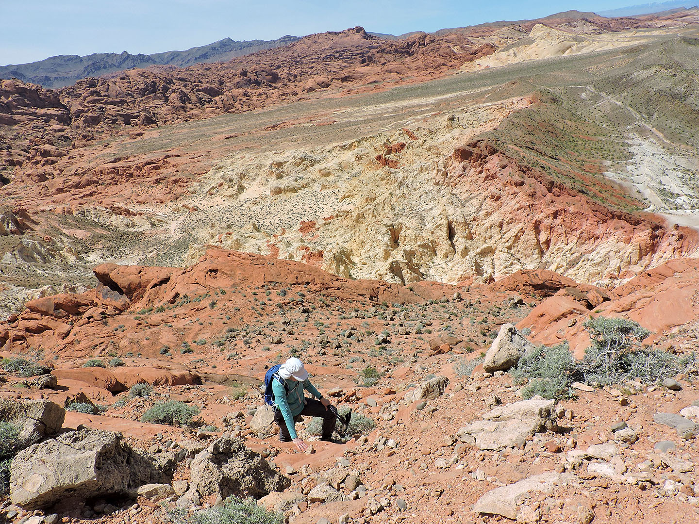
We continued up the wash and through a canyon to ascend the saddle at the end
Climbing up to the saddle
Looking back from the saddle
From the saddle we ascended the ramp ahead
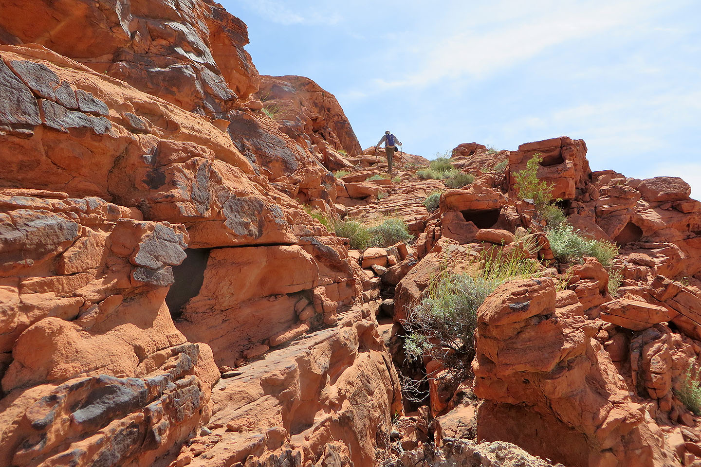
Partway up the ramp
Looking back
Behind is the ridge we were on earlier
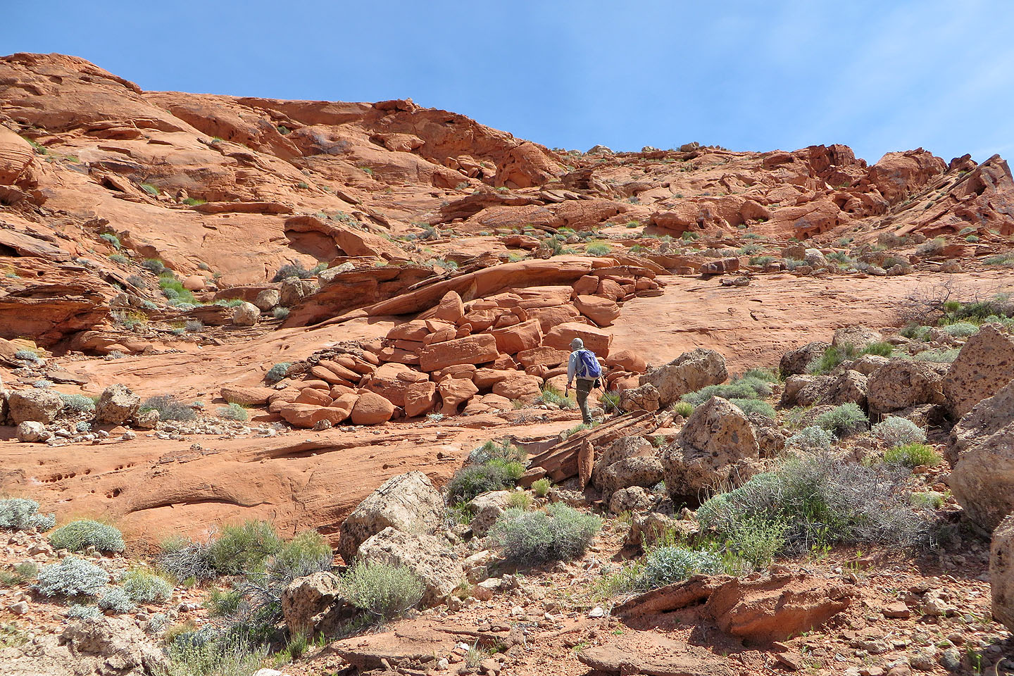
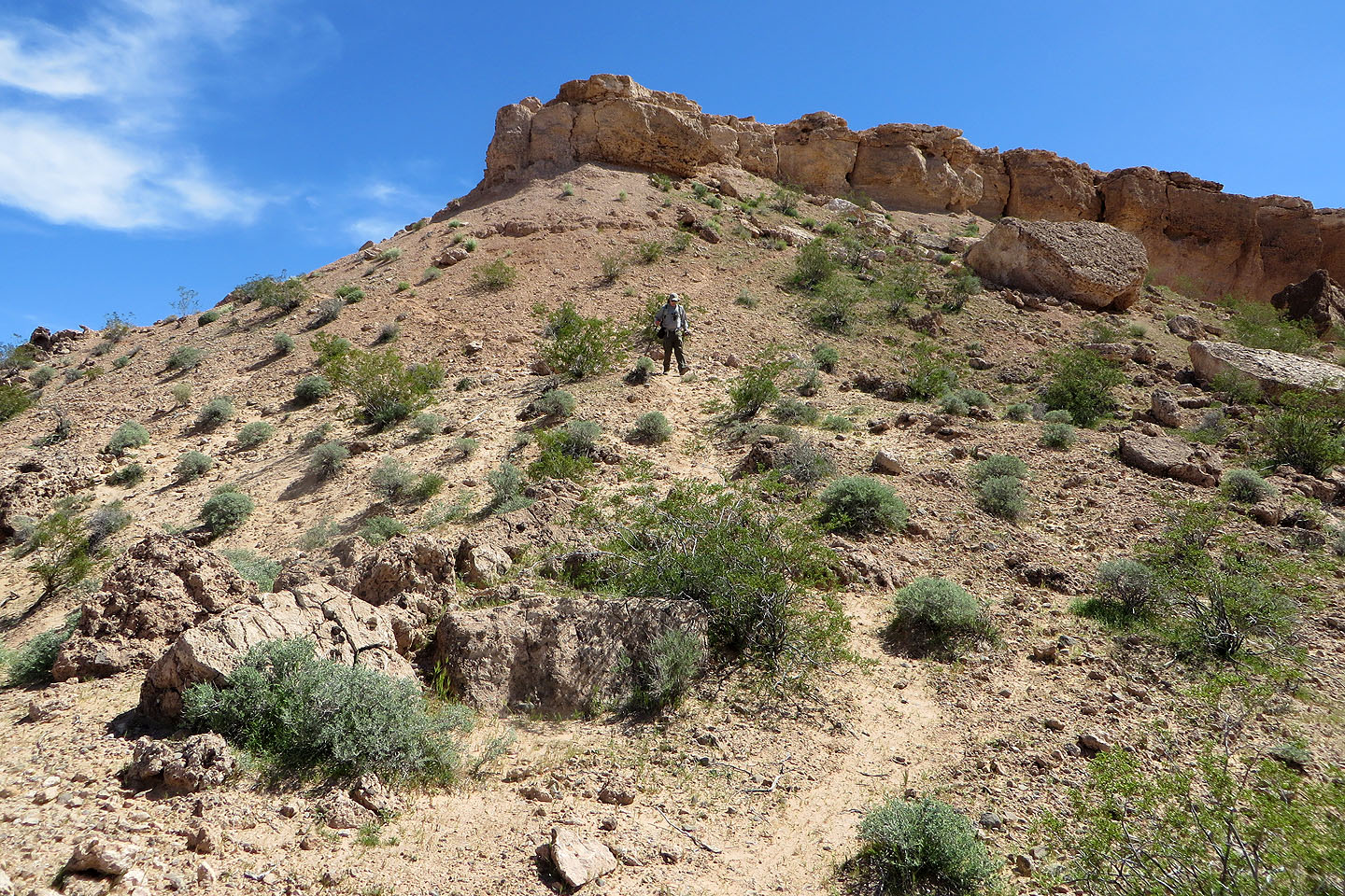
After the ramp, the way up looked easy but was steeper than it appeared
Looking back just before reaching the edge of mesa
Dinah pauses on the mesa. Silica Dome is in the centre.
We headed to the highest point
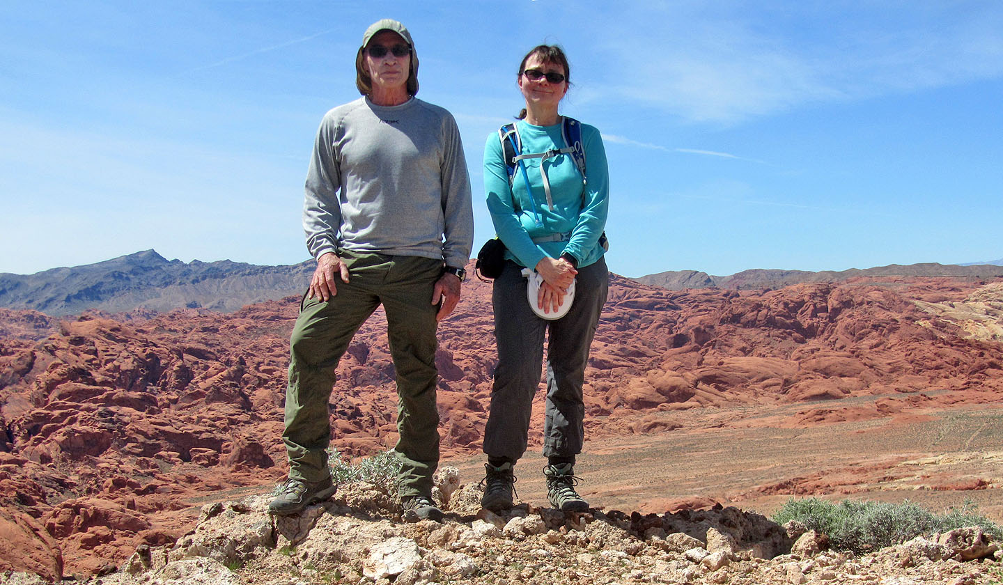
Standing on the summit
We headed to the north end of the mesa
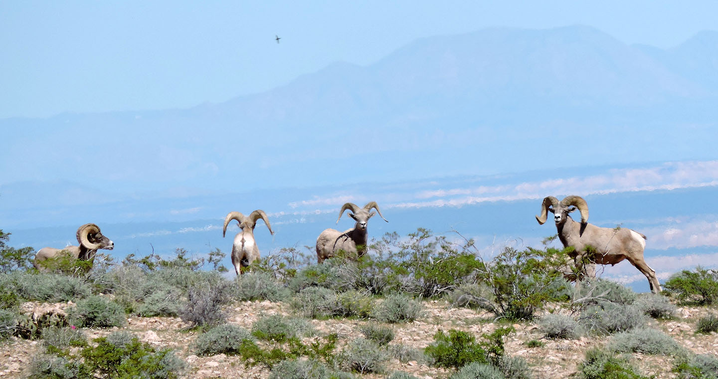
Bighorn sheep on the mesa
Near the end of the mesa we passed three cairns which appeared to have no significance
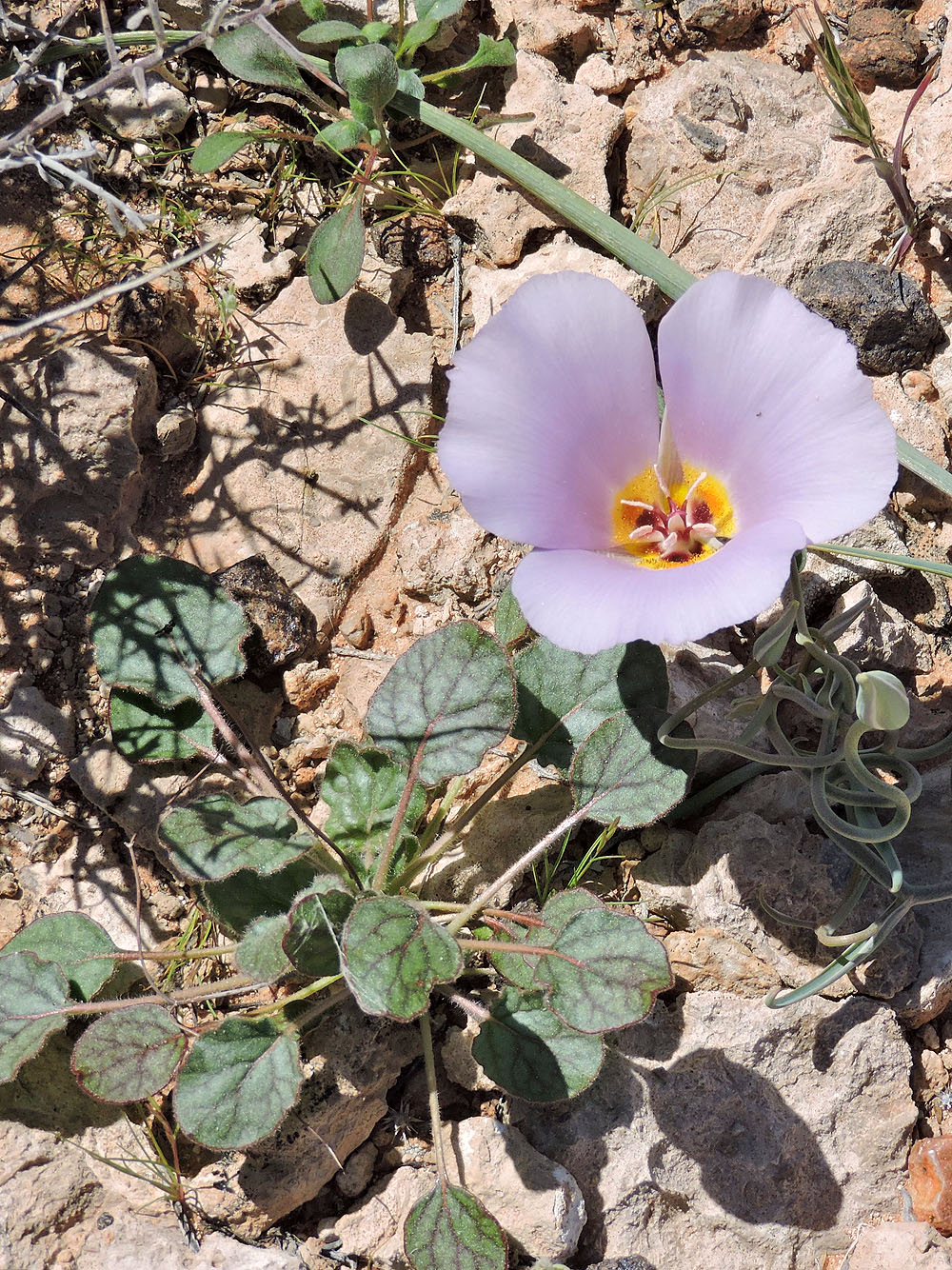
Mariposa lily
The mesa ends on cliffs. Below is the trail we wanted to reach.
Coming down the trail below the cliff band
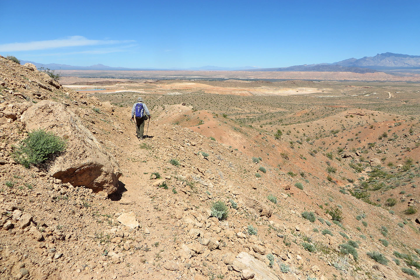
The trail follows the ridge
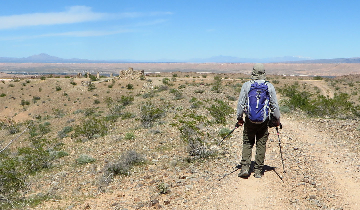
The trail reaches a road which leads to the ruins of Buenos Vistas
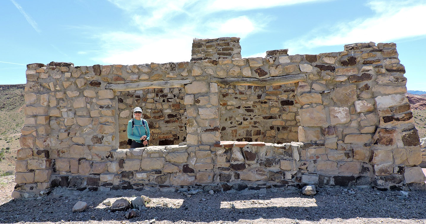
The main structure comprises of two adjoining cabins with separate entrances (duplex cabins?)
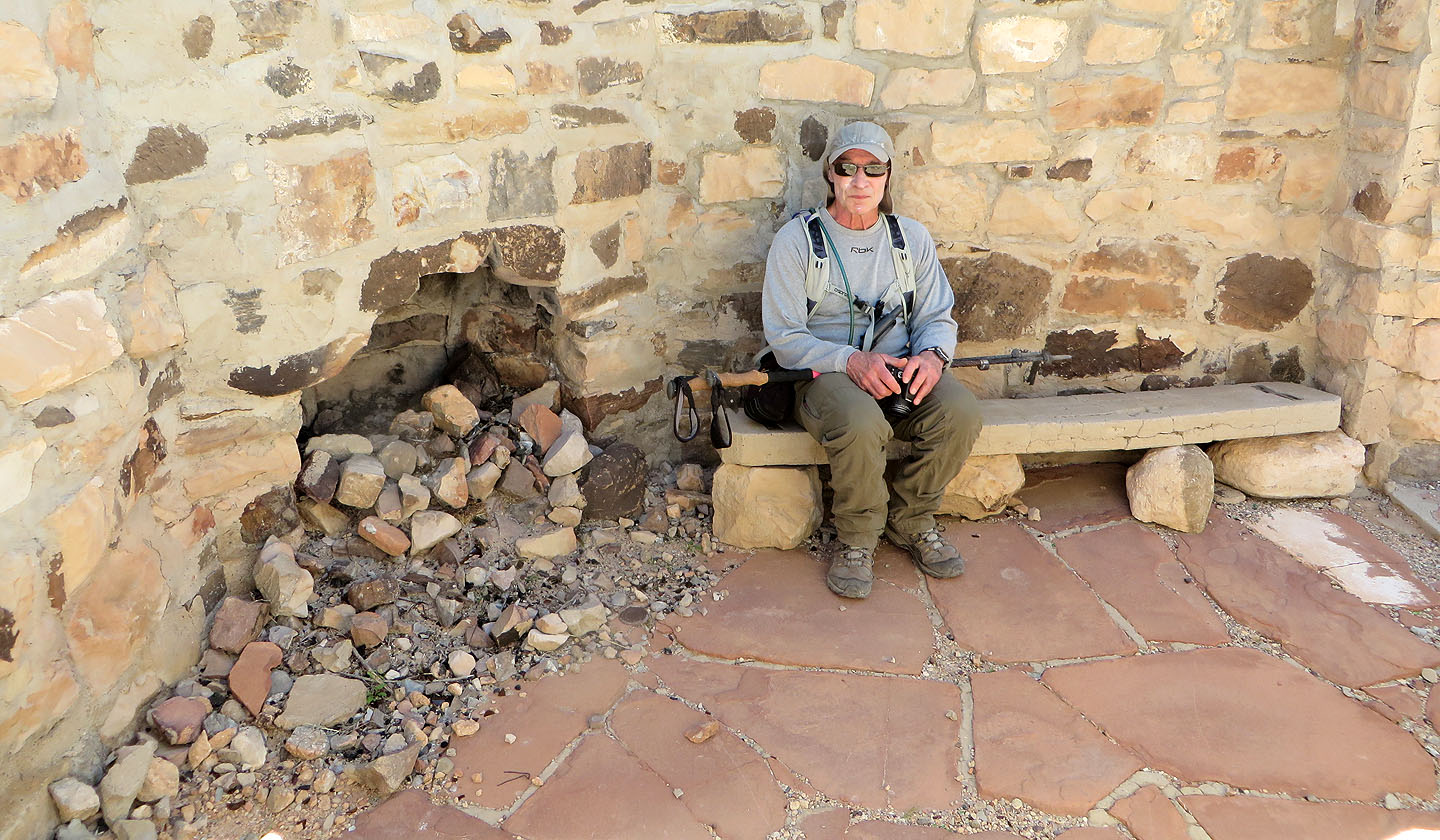
Sitting in one of the cabins
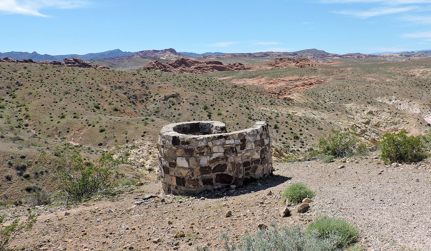
One of two outhouses
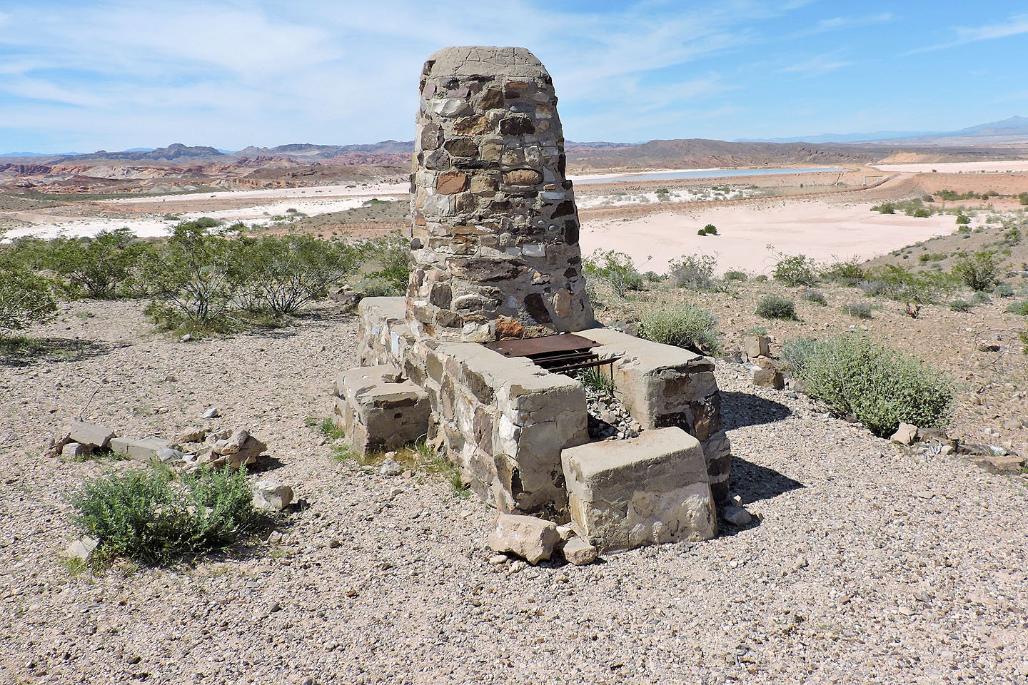
One of two barbecues
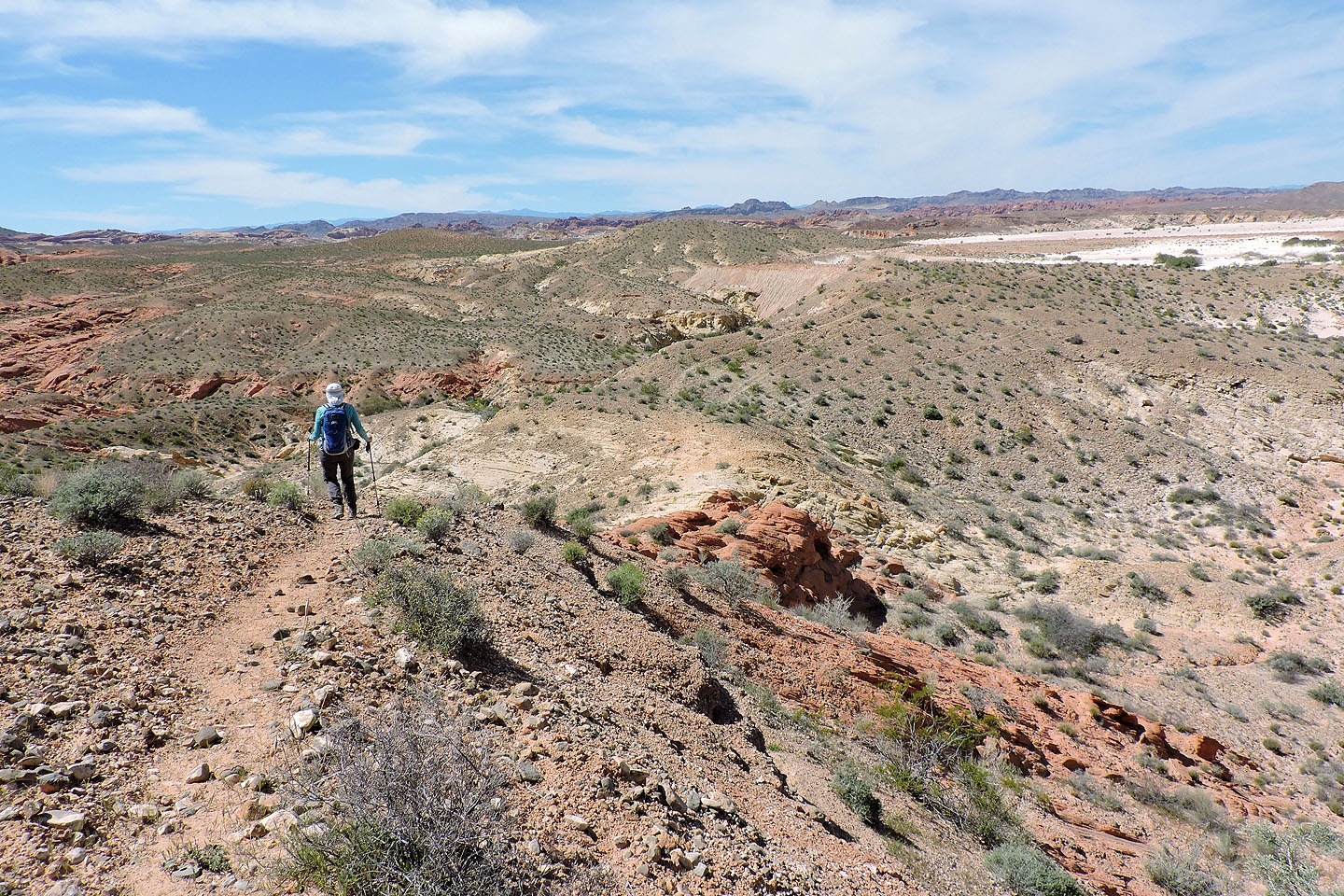
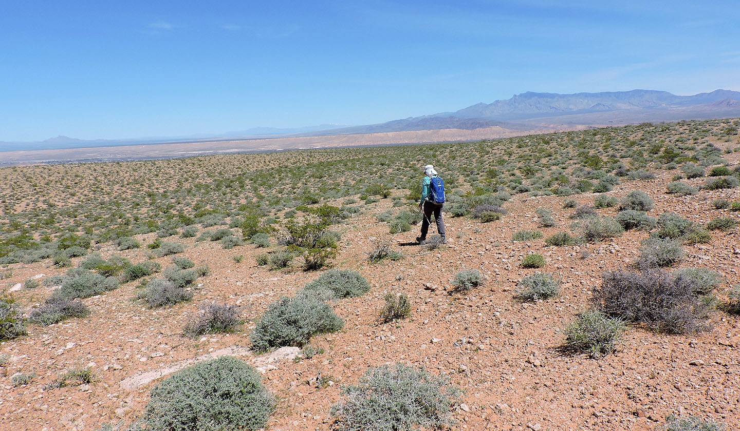
From Buenos Vista, we followed a trail to the road
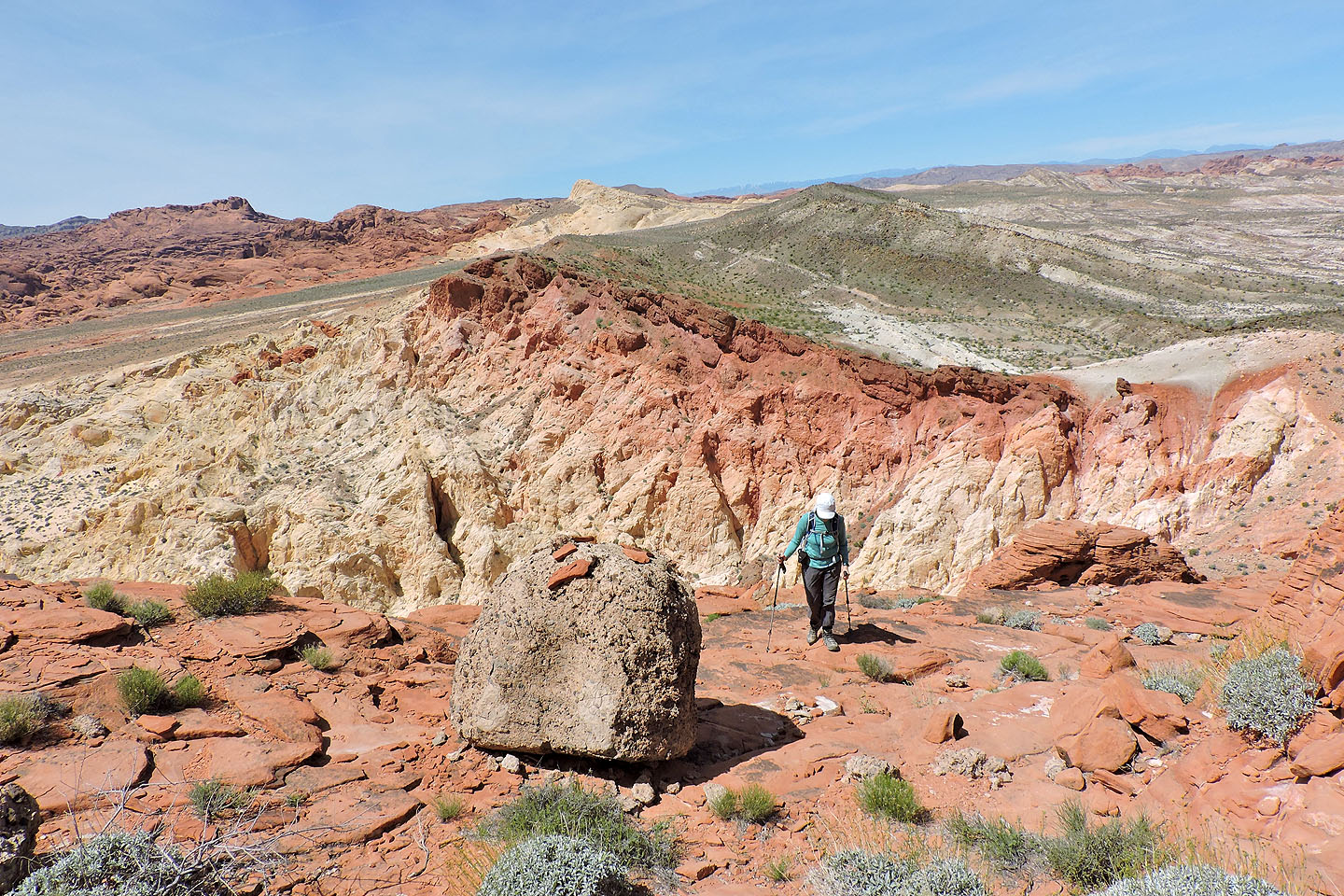
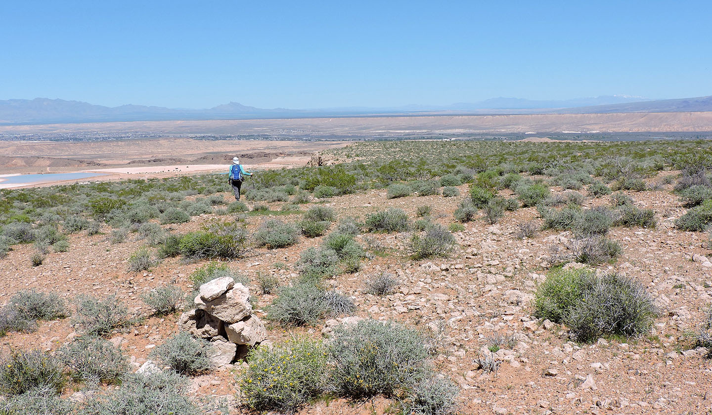
Looking back at the mesa
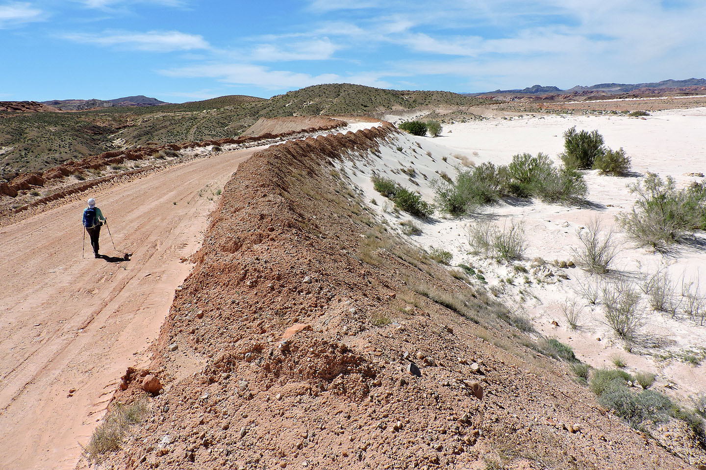
After getting on the road we soon passed a sand pit
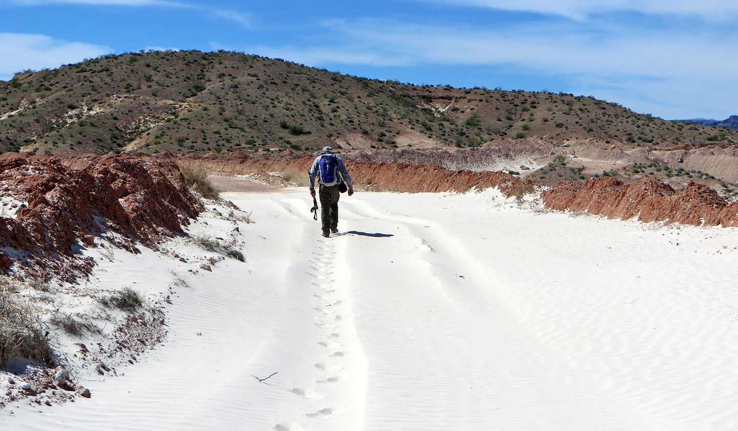
Windblown sand covered a section of the road. The white sand was incredibly fine, almost a powder
We followed the road back to the parking lot
Valley of Fire East and West (6.9 mi, 2359 ft, 525 ft)