bobspirko.ca | Home | Canada Trips | US Trips | Hiking | Snowshoeing | MAP | About
Piegan Mountain
Glacier National Park, Montana
August 13, 2016
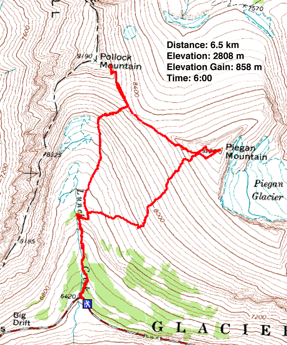
Distance: 6.5 km (4.0 mi)
Cumulative Elevation Gain: 976 m (3202 ft)
Piegan Mountain is one of the shorter and easier ascents in Glacier National Park, which suited Dinah and me just fine. Recovering from bronchitis, neither of us was running on all cylinders. We also planned to try nearby Pollock Mountain. But while we were confident we could make Piegan (pronounced “pee-gun”), we were uncertain if we were well enough to do Pollock, a class 3 ascent.
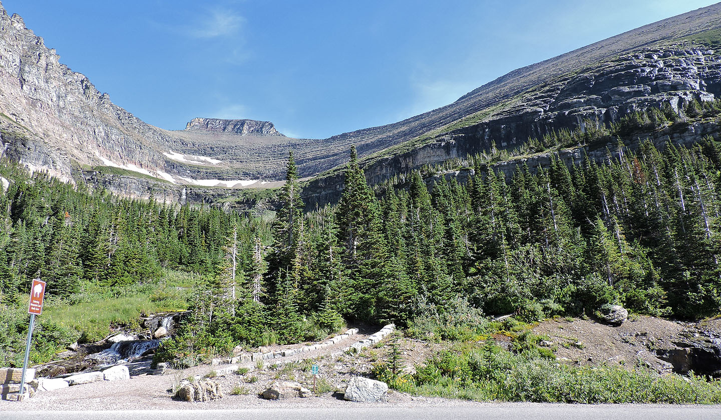
Joining us were Zora and Sonny. We would use the route described in Gordon Edward’s A Climber’s Guide to Glacier National Park. The trailhead is at Lunch Creek east of Logan’s Pass. A path alongside the creek leads to an alpine basin below both peaks. From the basin, the route climbs to a saddle that connects Pollock and Piegan.
The first order of business was finding parking. The parking lot at Lunch Creek was full, but with tourists coming and going, a spot soon opened up. We started up the trail although with so many side trails near the start, it was hard to tell which was the main trail. Eventually we settled on a path leading to the basin.
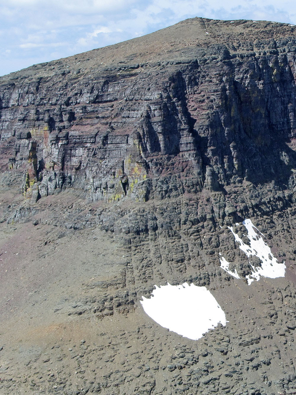
Cliff bands bedevil the lower slopes below the saddle, but a gully in the slope cut through these. Amid a beautiful setting that included wildflowers, scampering marmots, a herd of bighorn sheep and a solitary mountain goat, we crossed the basin, hiked up scree and snow to the bottom of the gully. The canyon-like gully was rather troublesome, being steep, full of loose rock and so choked with snow there was little room to maneuver up the sides. It’s best to keep to the right side.
The rest of the climb to the saddle was uneventful. Sonny led the way, sometimes stopping to wait for Zora, Dinah and I to catch up. After having lunch on the saddle, we set off for Pollock. Sonny again shot ahead, hiking up the southeast ridge before angling to the notch described in Edward’s book. Zora, Dinah and I, taking a different tack, followed a faint, level trail that brought us to the bottom of a narrow scree chute. The chute leads straight to the notch. Here Zora and Dinah, being short on energy, decided to turn back and just do the easier peak, Piegan Mountain. I climbed up the chute to the notch.
From the notch, the route follows a ledge a short distance to a class 3 couloir. The couloir leads to the summit of Pollock. Sonny started up the steep rock in the couloir, but I wasn't feeling 100%, so I turned around.
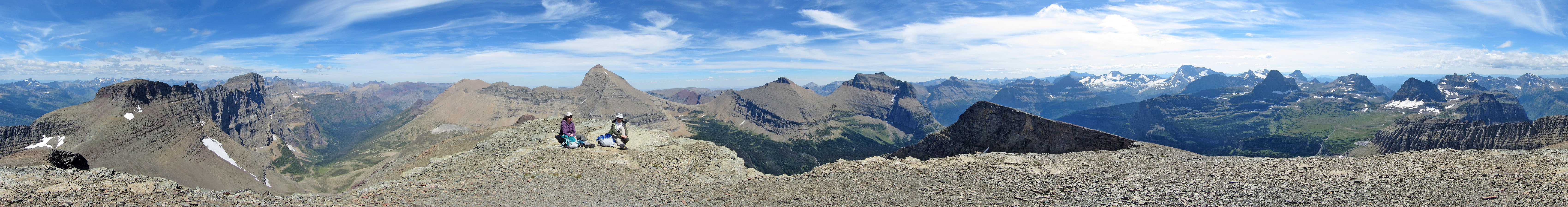
I caught up to Zora and Dinah where they waited on the trail going up Piegan. We followed the trail until it disappeared and then made our way up the rubbly slope to the summit. While waiting on the summit for Sonny, we gazed at the peaks all around. For a short climb, Piegan offers surprisingly nice scenery.
After Sonny joined us, and after giving him time to takes photos on the summit, the four of us started down. Instead of retracing our steps back to the gully, it looked easier and quicker to descend the west slopes, providing we could avoid the cliff bands near the bottom. For that we needed to keep left where the cliffs appeared to dwindle. We didn’t completely skirt the cliffs, but the couple of cliff bands we encountered had weaknesses we easily downclimbed. We made our way back to the trail and back to the car.
Since we live in Calgary, it's a long drive back. We rarely visit Glacier National Park, but when we do, we are never disappointed. Piegan Mountain is just one of many good reasons to visit there.
GPX and KML Tracks
Sonny's Trip Report
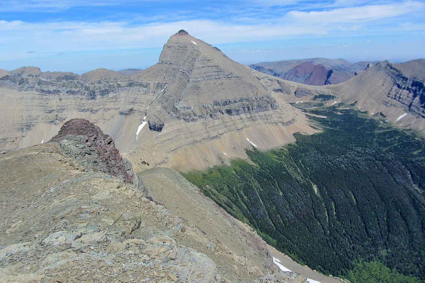
View of Pollock from the road
Looking up Lunch Creek at Pollock Mountain from the trailhead
Following the trail next to Lunch Creek
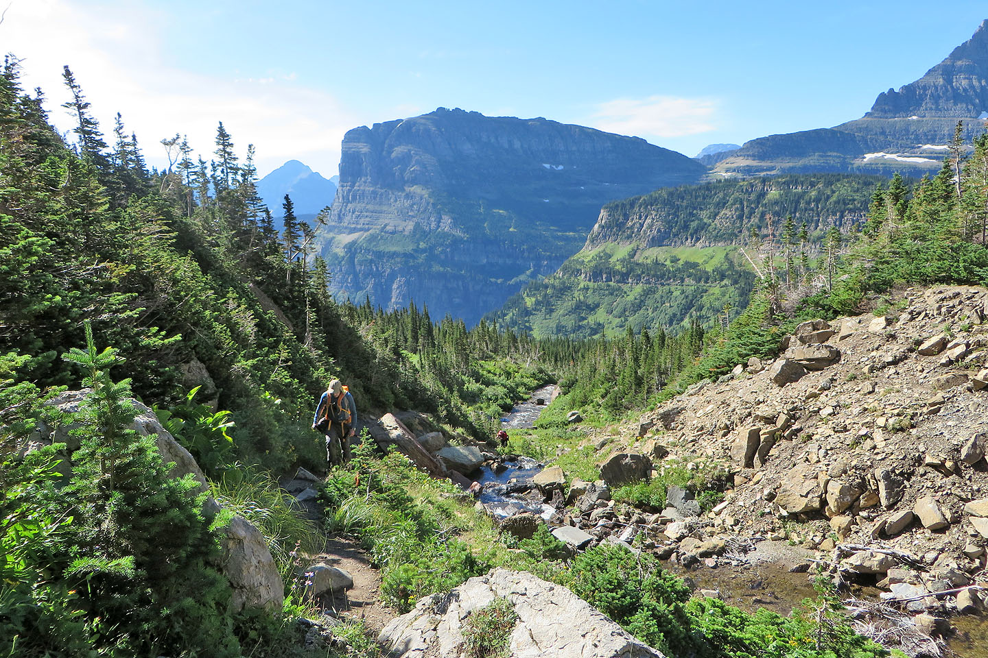
Looking back along the creek. Heavy Runner Mountain in the background.
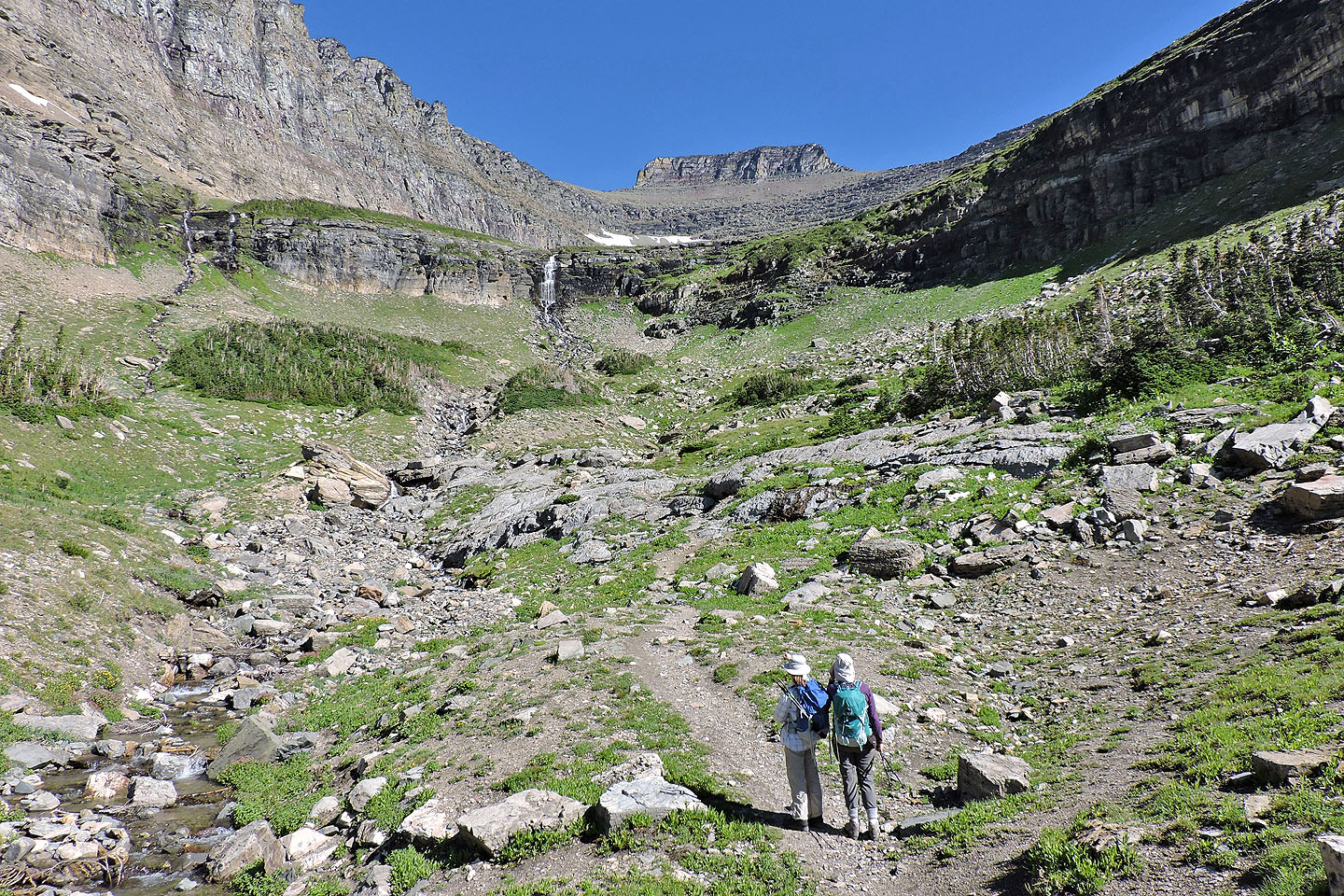
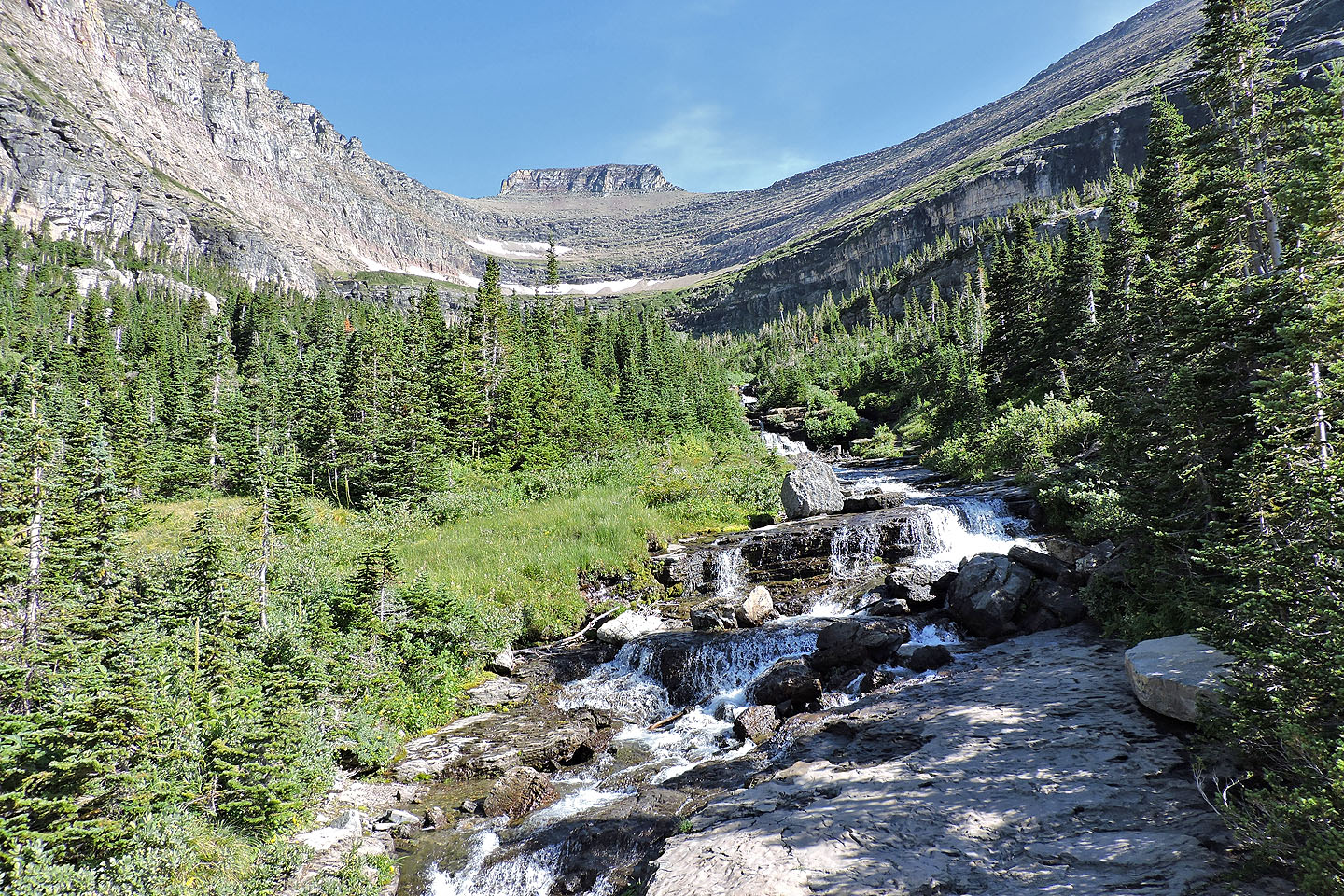
The trail leads to a basin above the waterfall
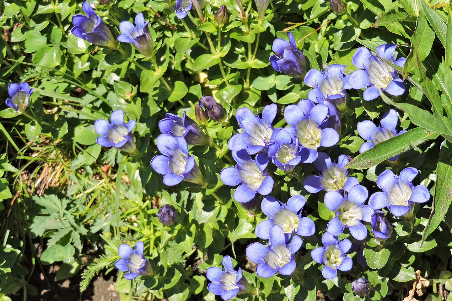
Wildflowers abounded along the trail, including these gentians
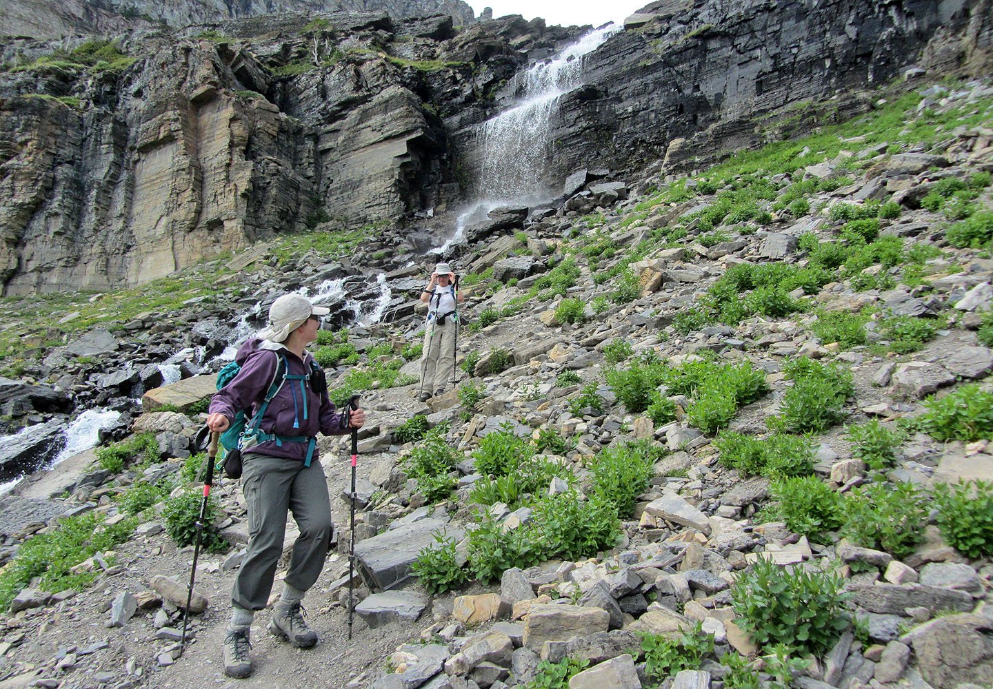
The trail runs up a ramp to the right of the waterfall
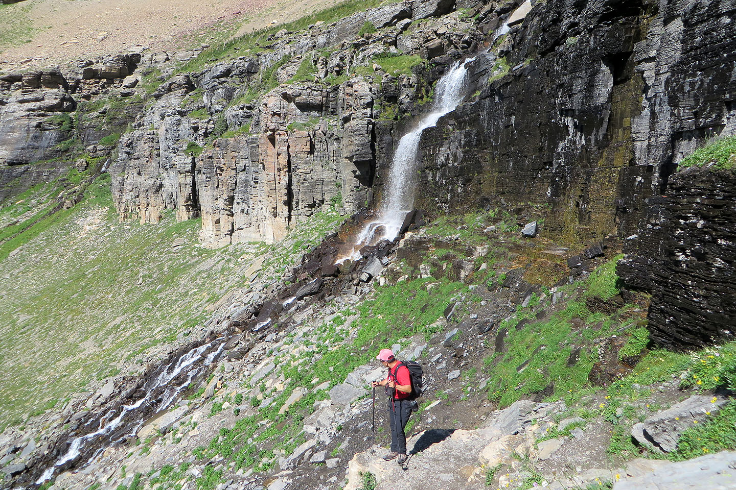
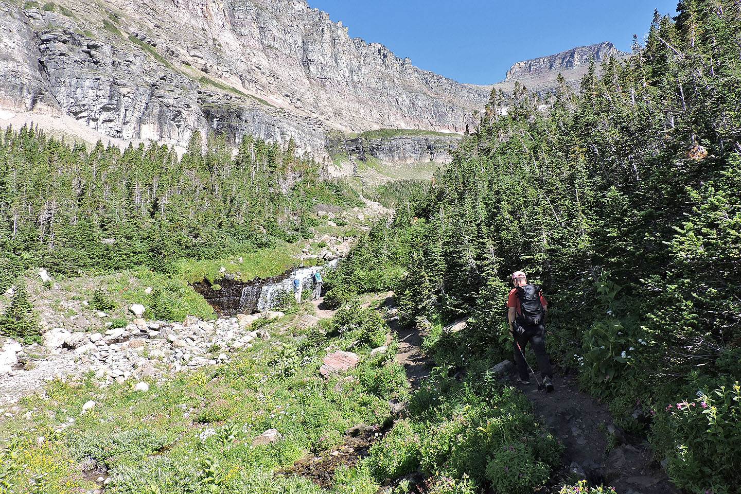
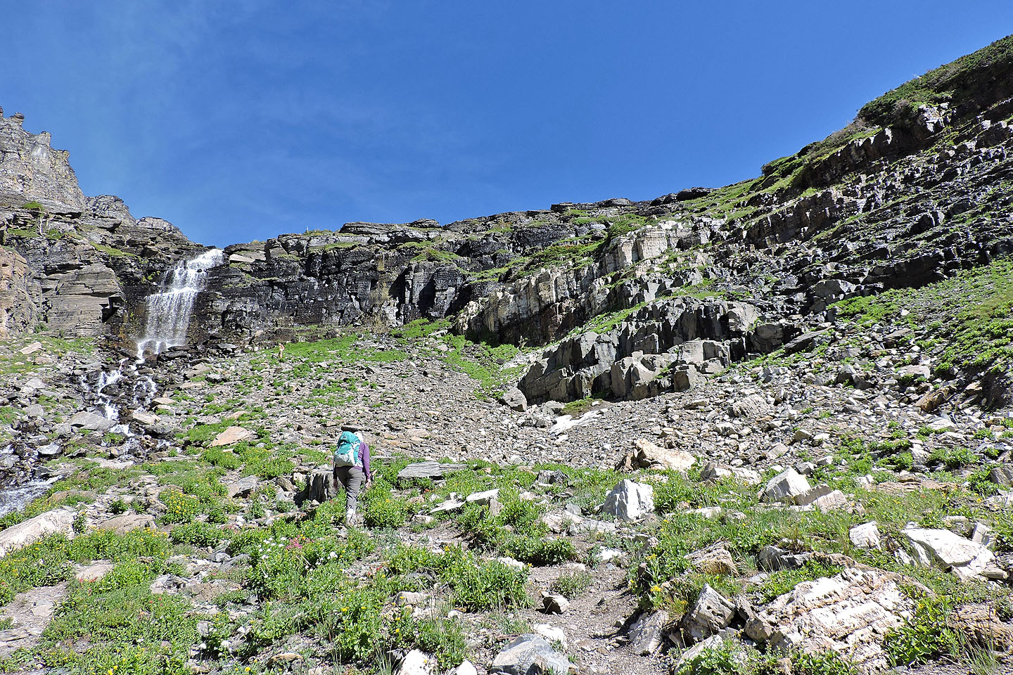
Coming up the trail next to the waterfalls
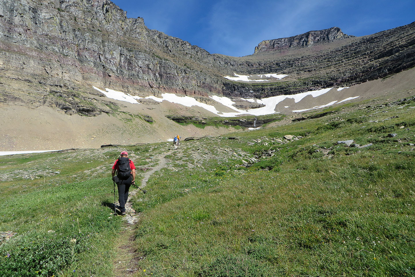
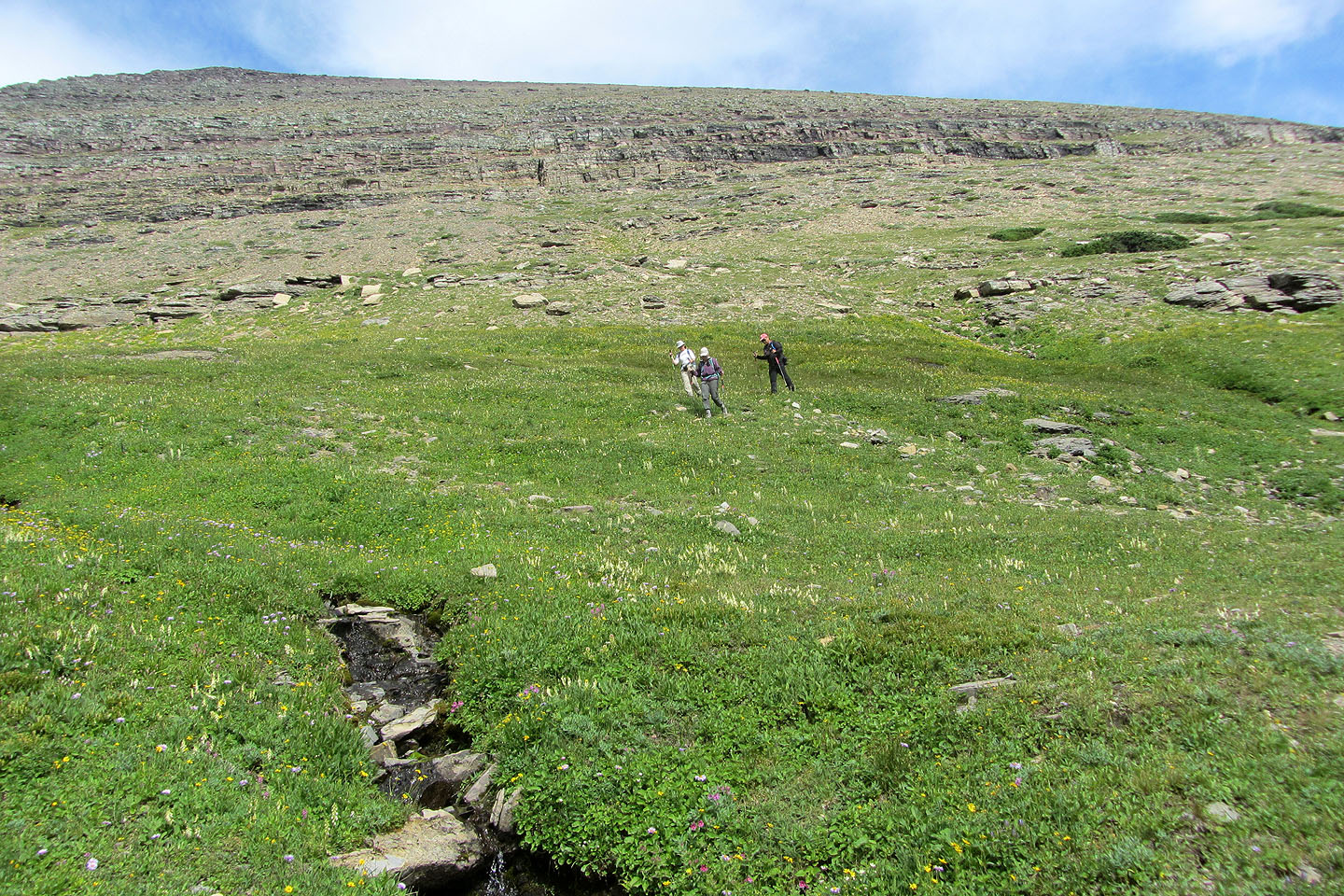
In the basin below Pollock Mountain
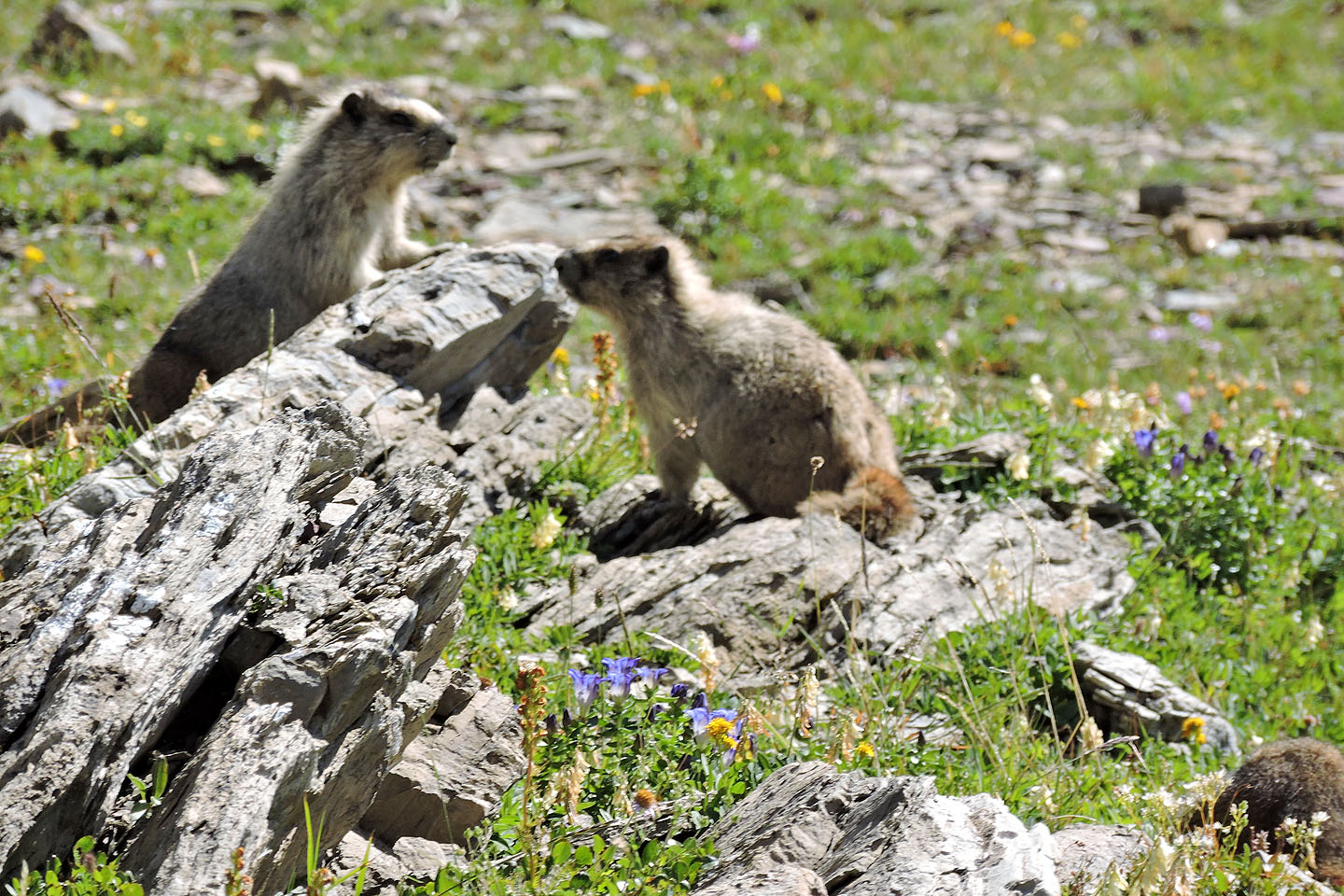
We saw several marmots in the basin
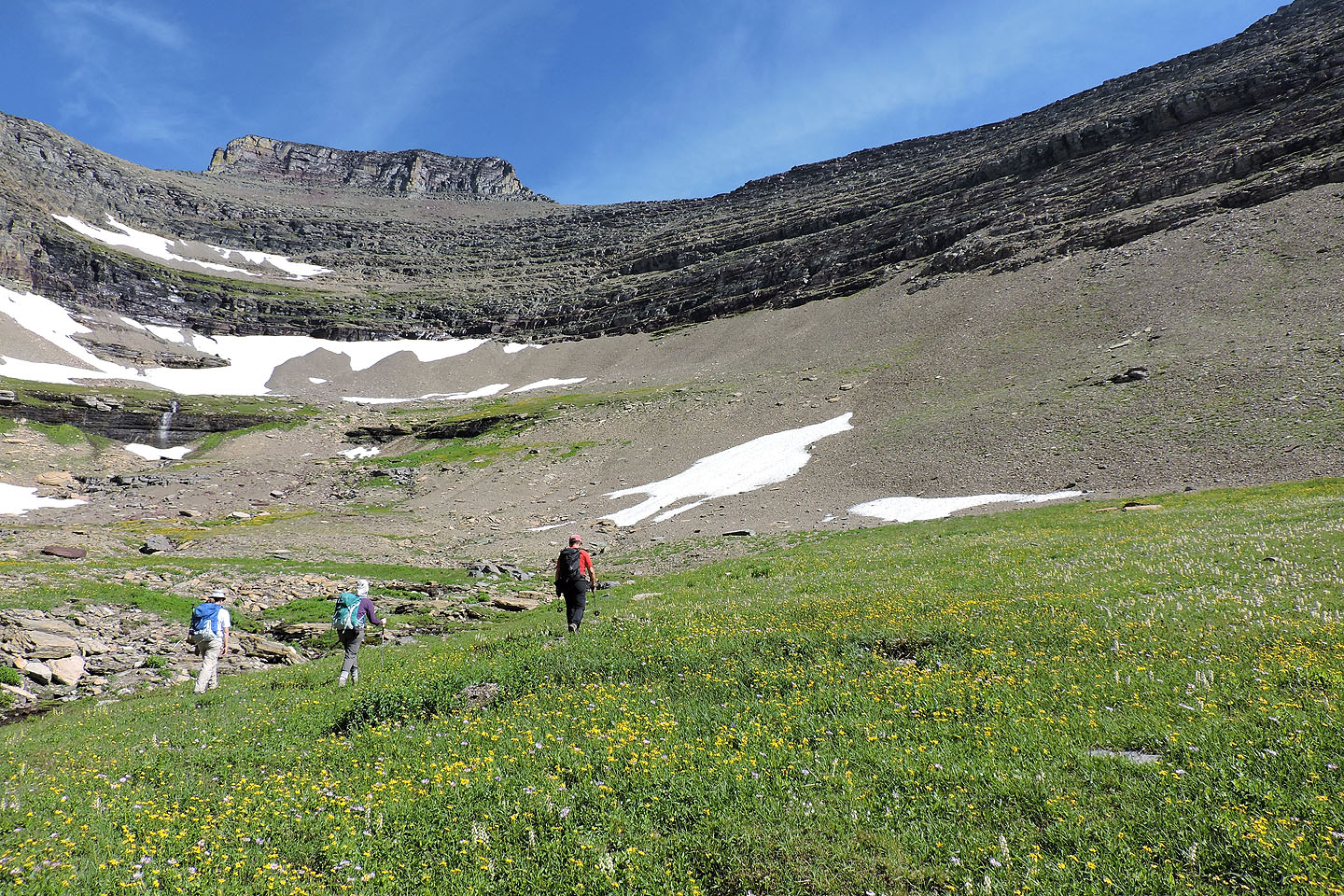
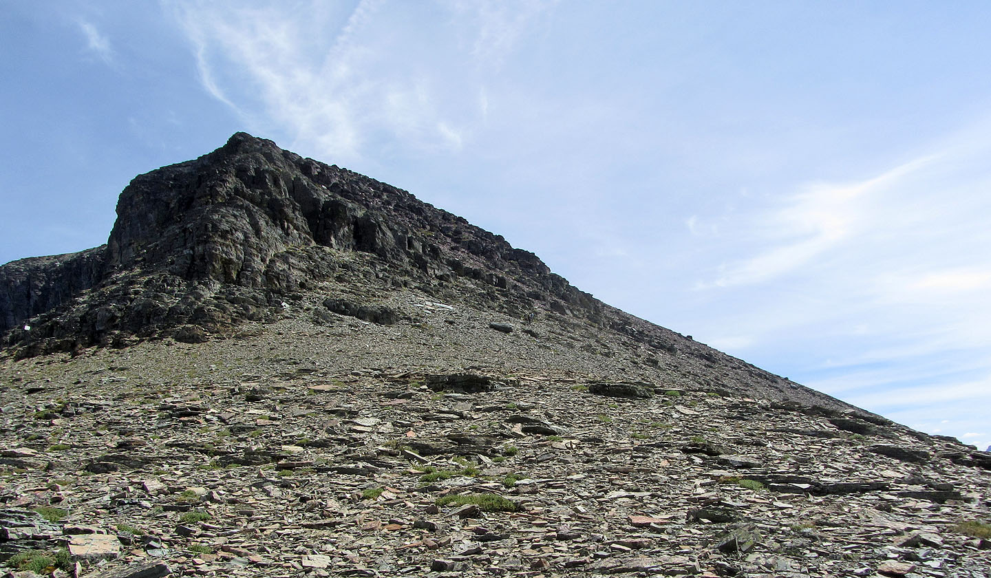
We headed to the gully in the middle of this photo
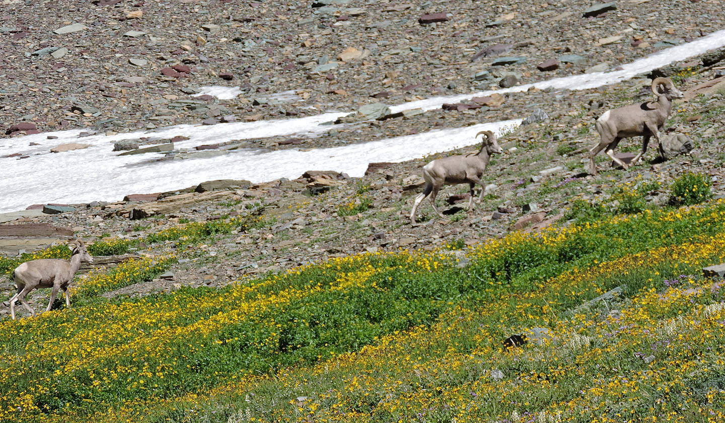
Part of a small herd of bighorn sheep in the basin
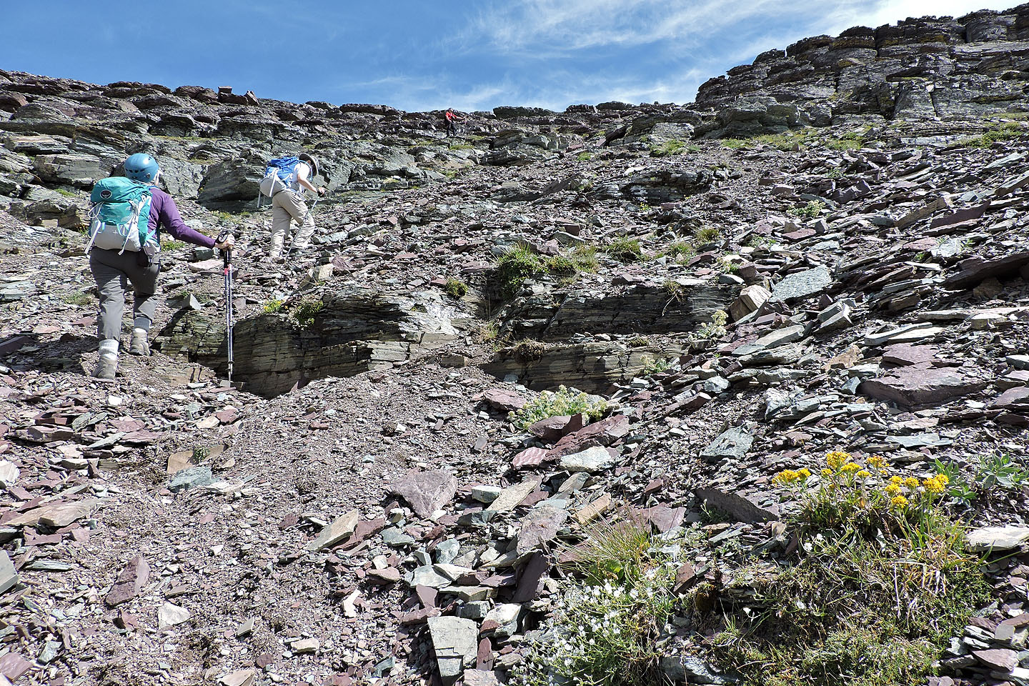
We made our way to the bottom of the gully
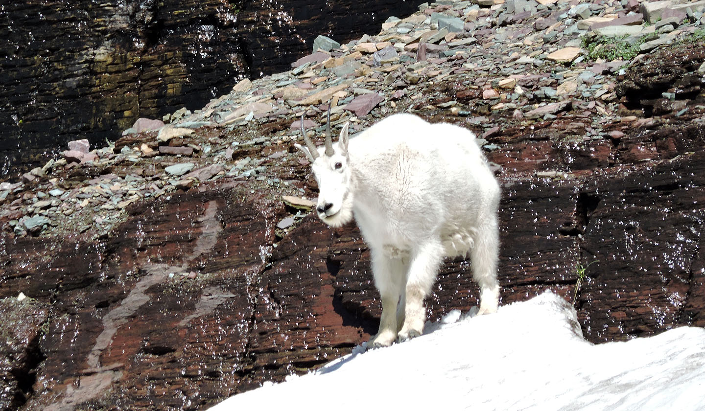
Nearby, a mountain goat pauses at the top of a snowfield before plunging down
Looking back from the bottom of the gully
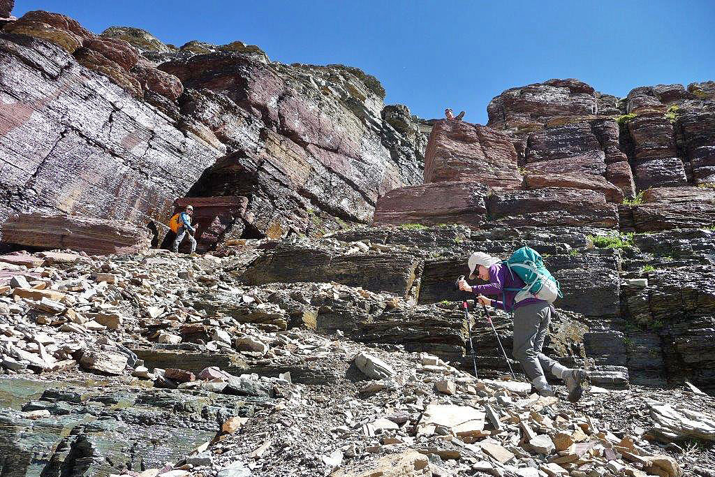
Sonny waits for us on a rock while we make our way to the entrance of the gully
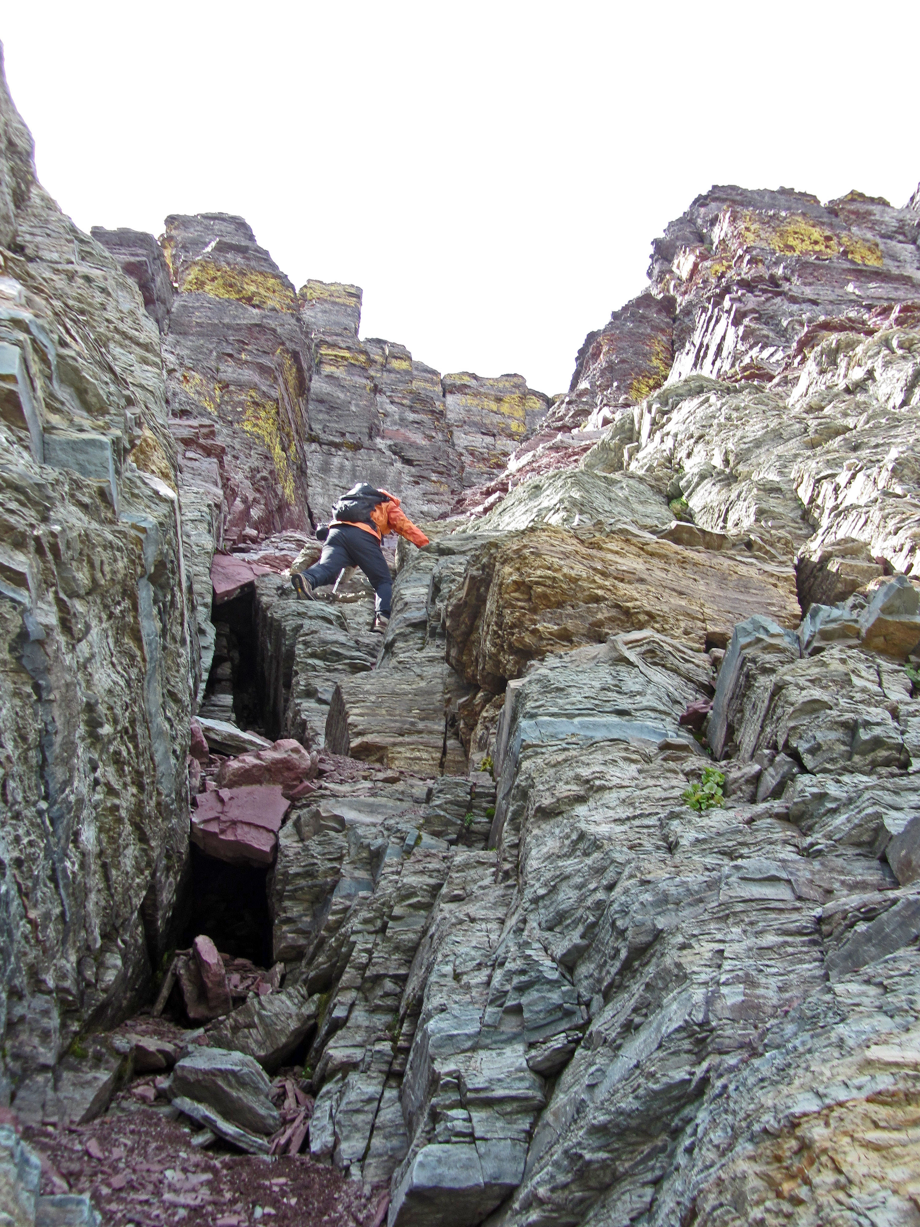
Entering the gully
The upper section of the gully was filled with snow too steep to climb on, so we
were confined to scrambling up the sides
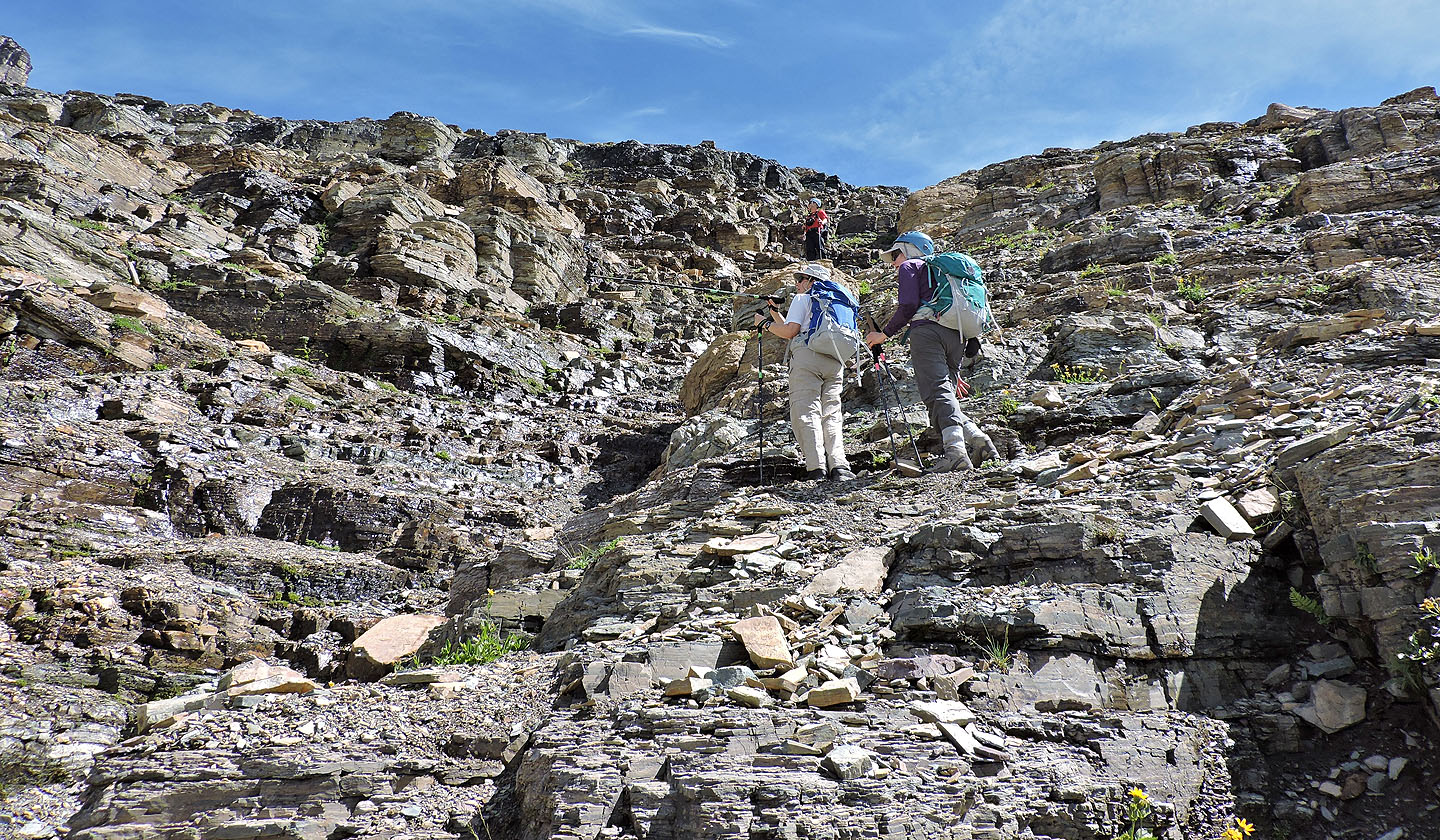
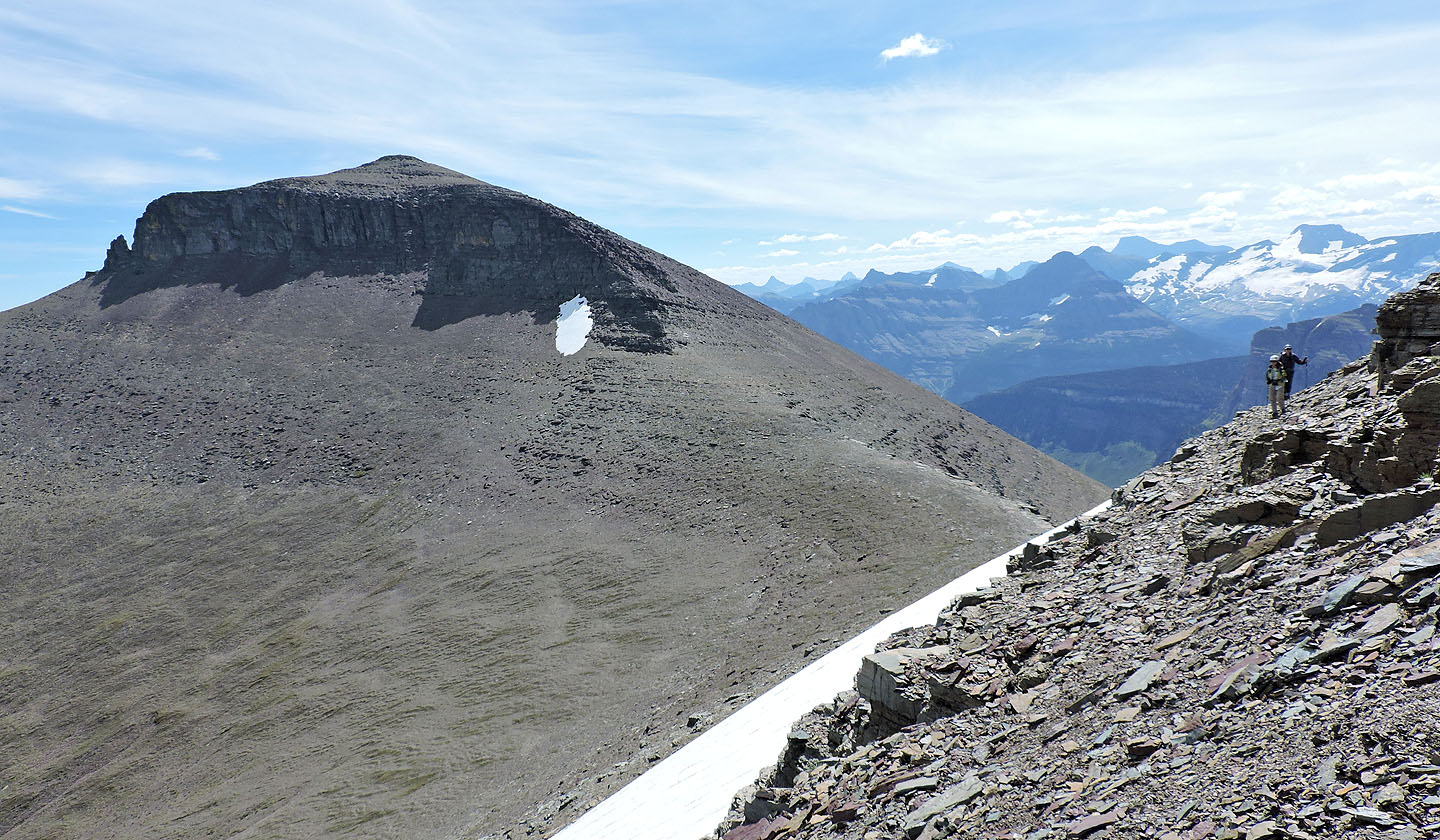
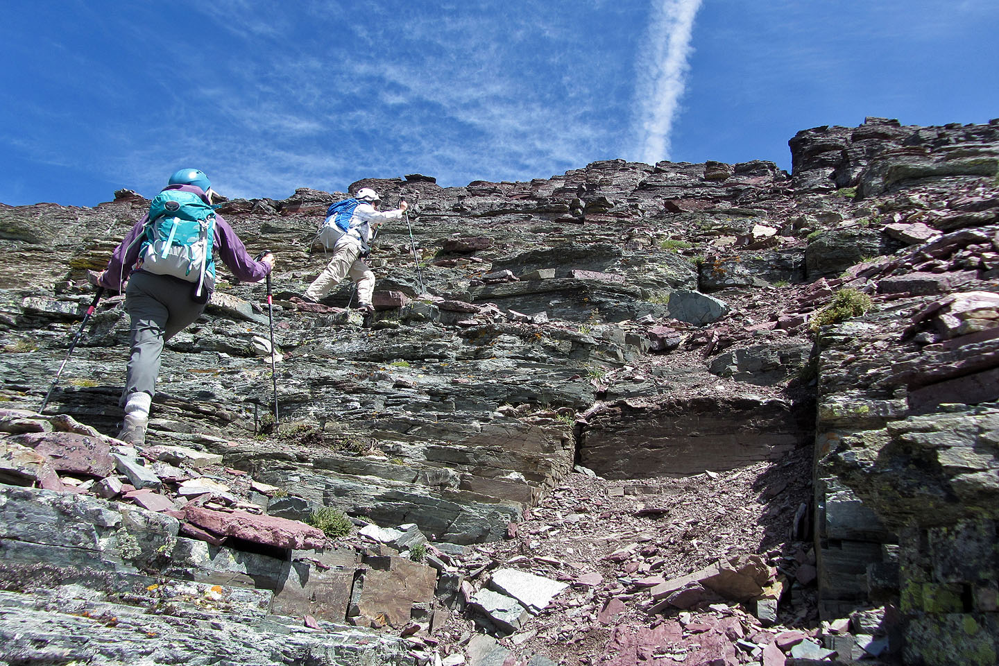
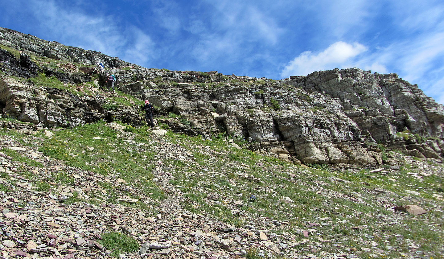
Climbing became easier above the gully
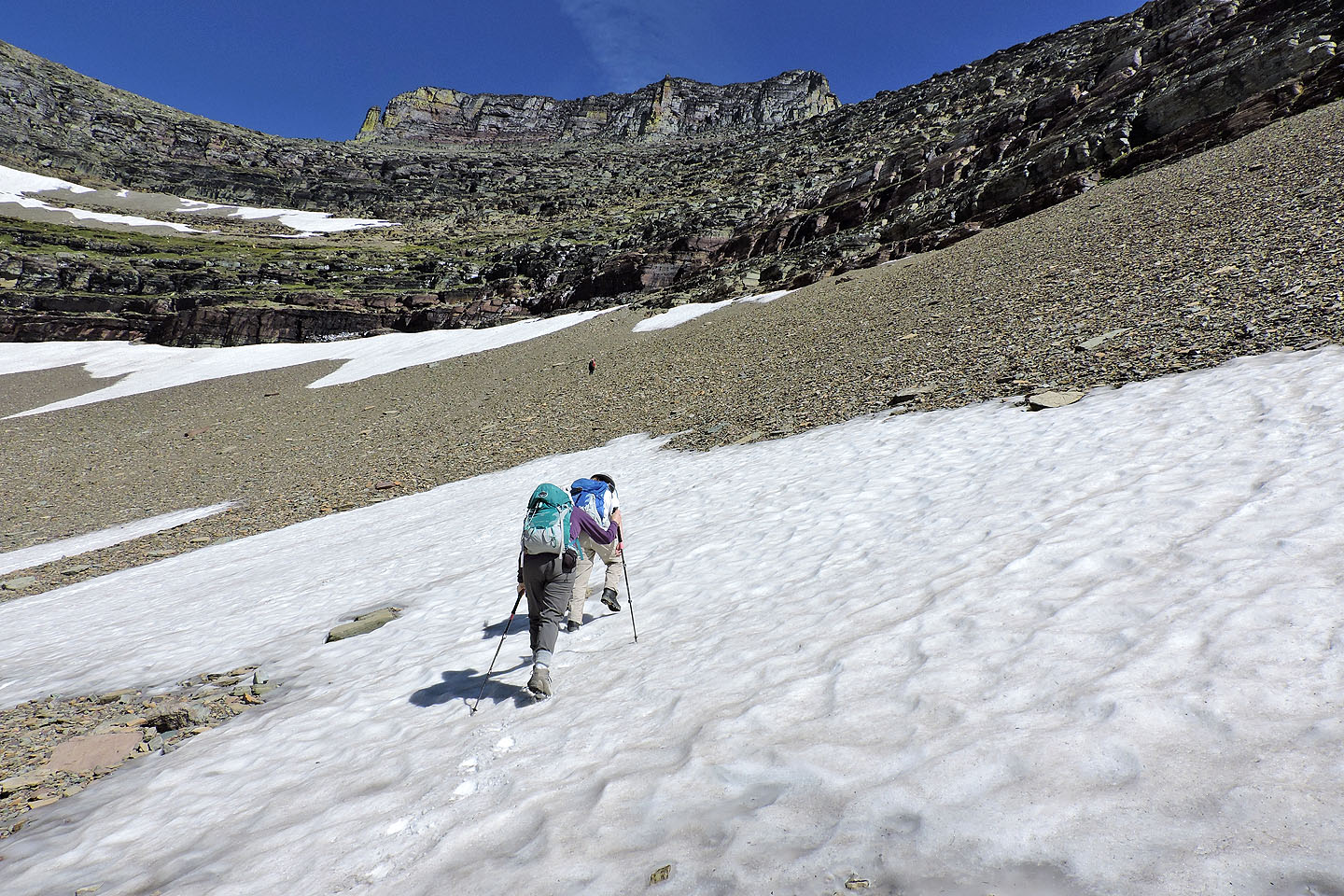
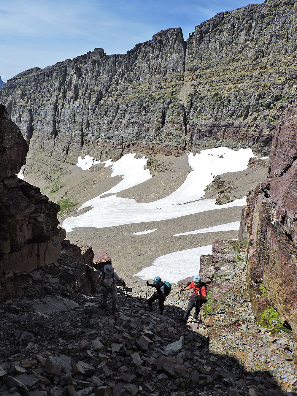
We made our way to the saddle
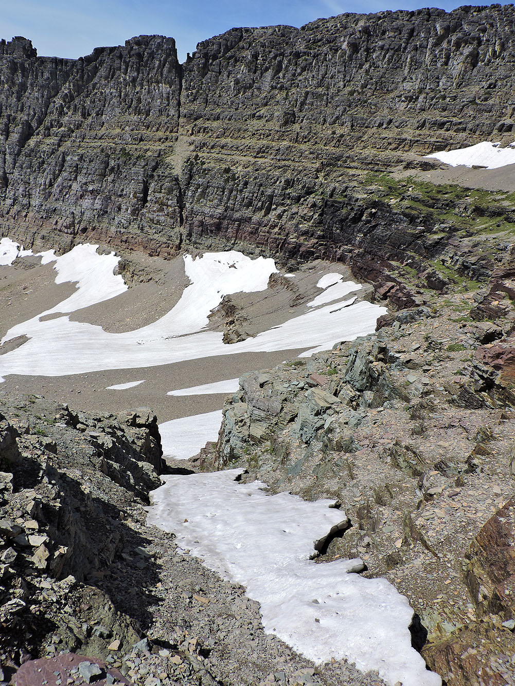
Looking back from the saddle
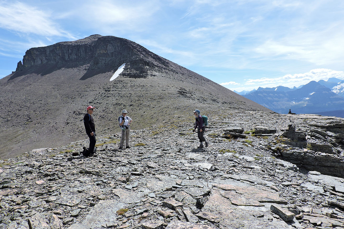
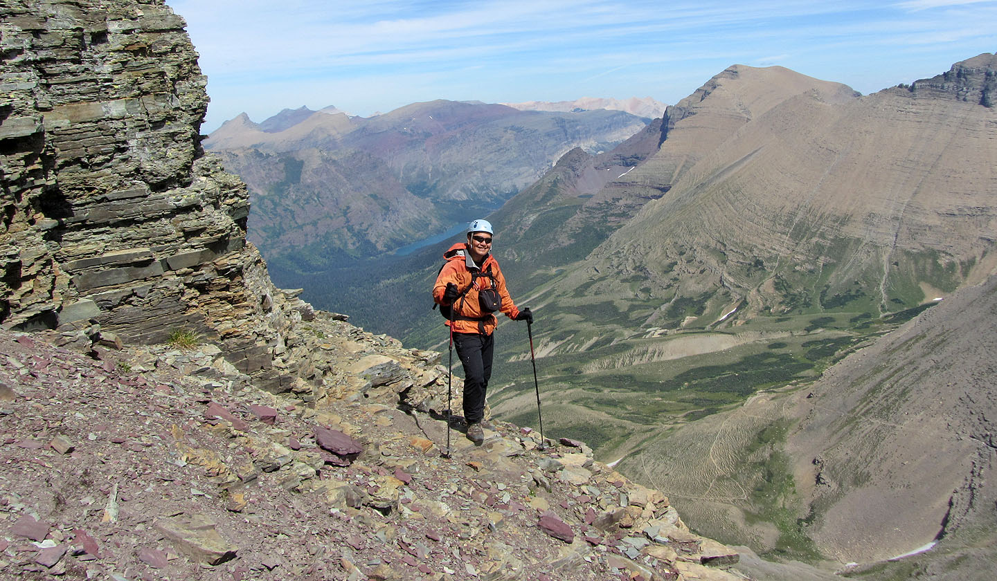
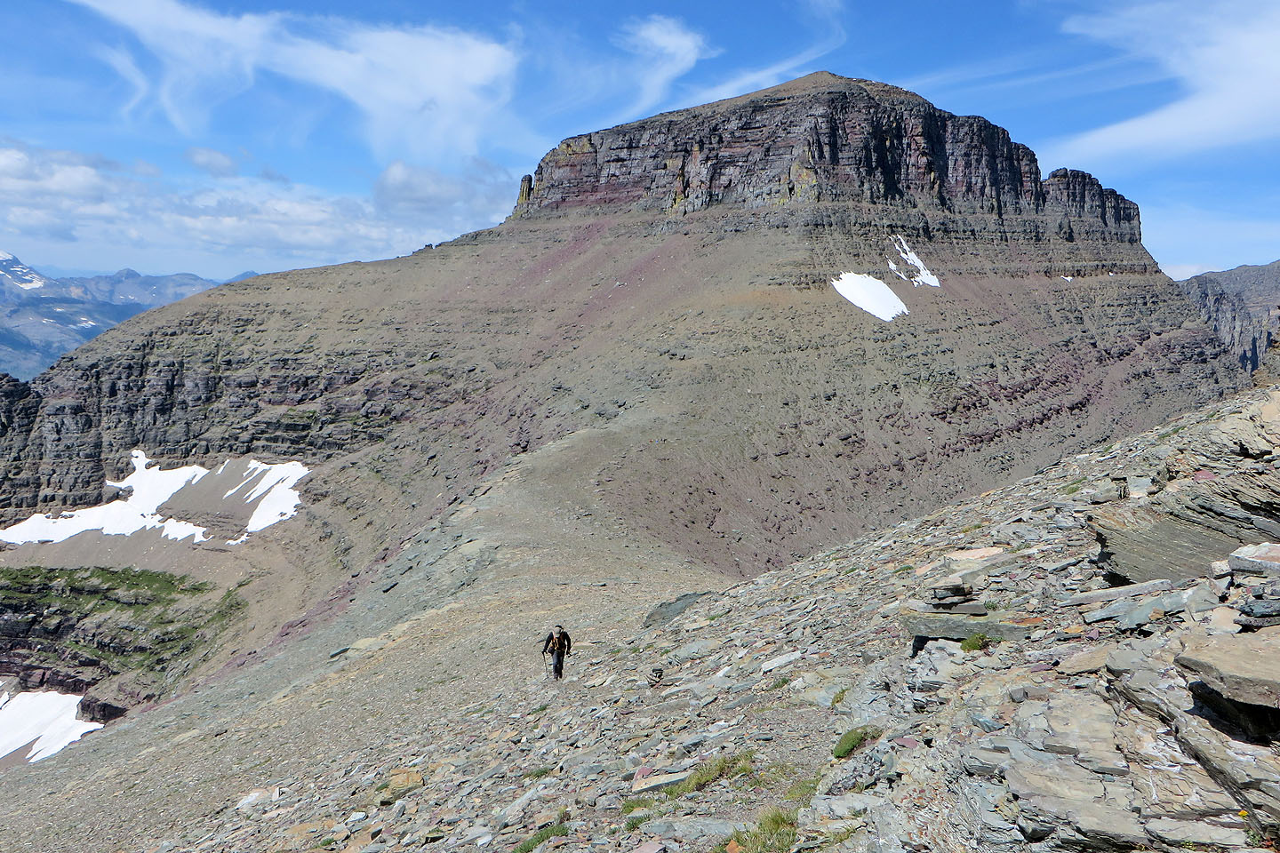
On the saddle with Piegan Mountain in the background
Sonny takes photos while Dinah heads to Pollock Mountain
The girls and I followed a faint trail to a scree gully below the notch
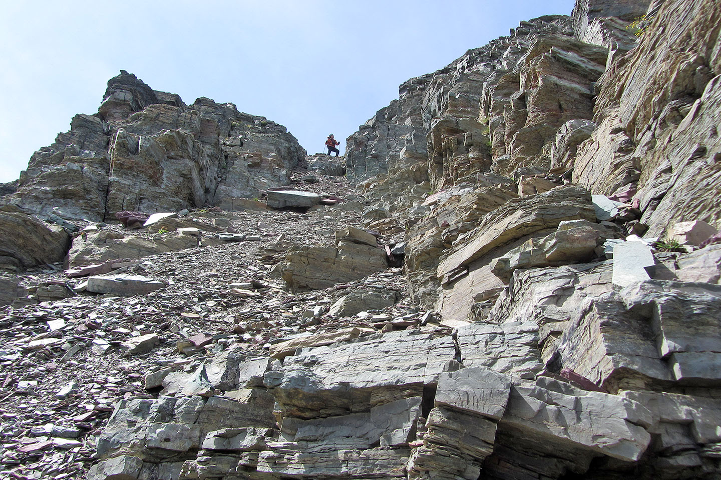
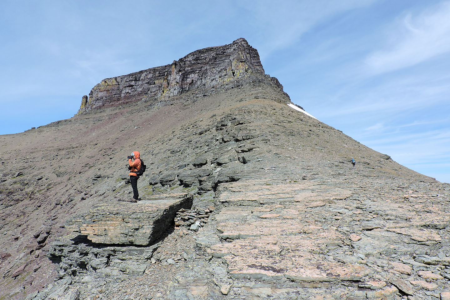
From the trail, a narrow scree gully extends to a notch where Sonny waited for me
The couloir is just around this corner. Behind Sonny is Apikuni Mountain.
Sonny scrambled up the couloir but I turned around at this point
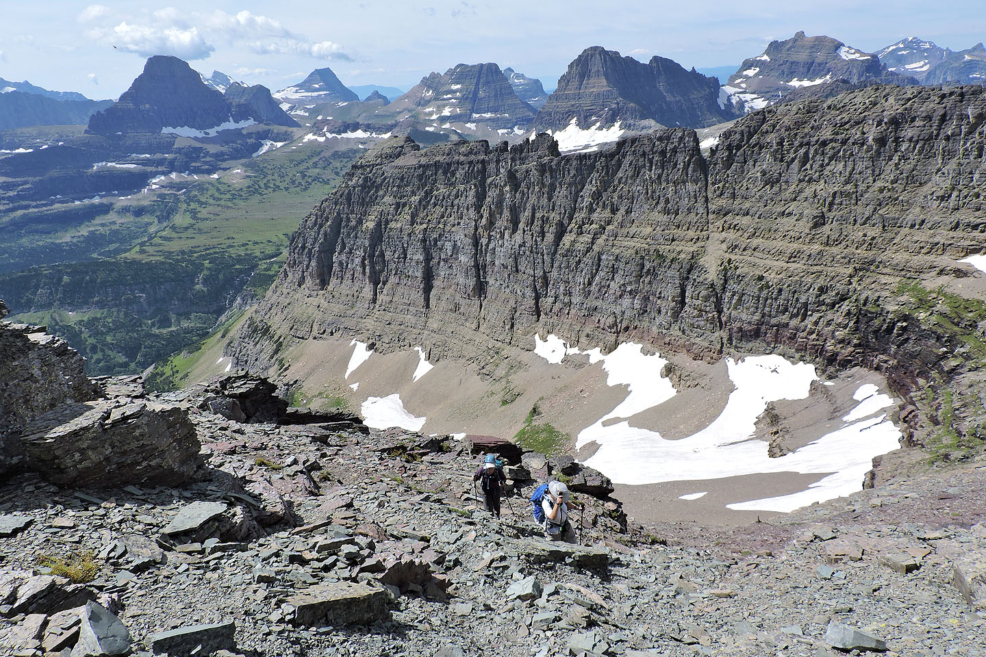
Dinah and Zora appear as white dots dead centre of this photo
I caught up to Dinah and Zora as they waited on the trail. Meanwhile, Sonny is on the summit of Pollock
(mouse over)
After the trail disappeared we made our way to the summit of Piegan
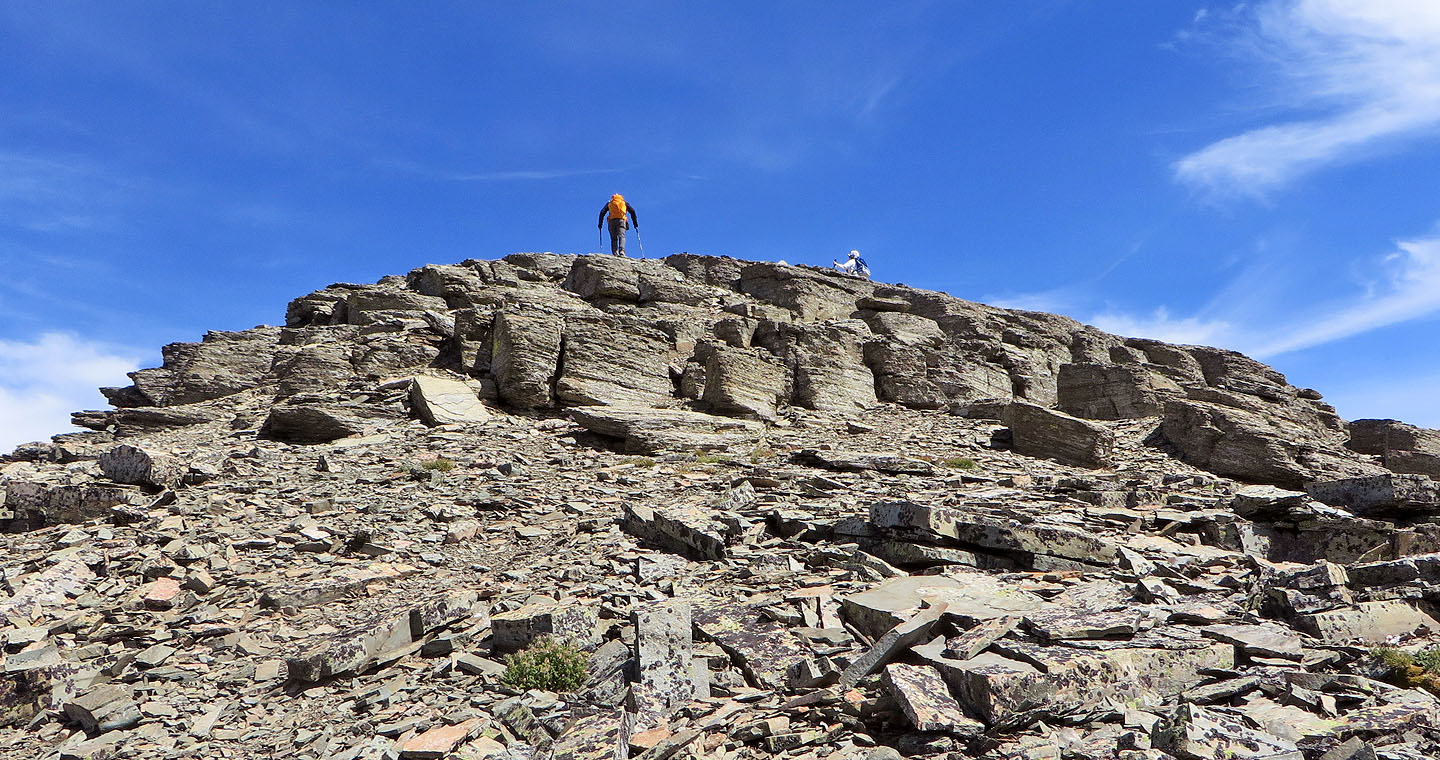
Reaching the summit
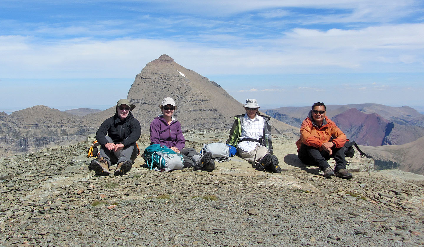
Sonny joined us on top of Piegan Mountain
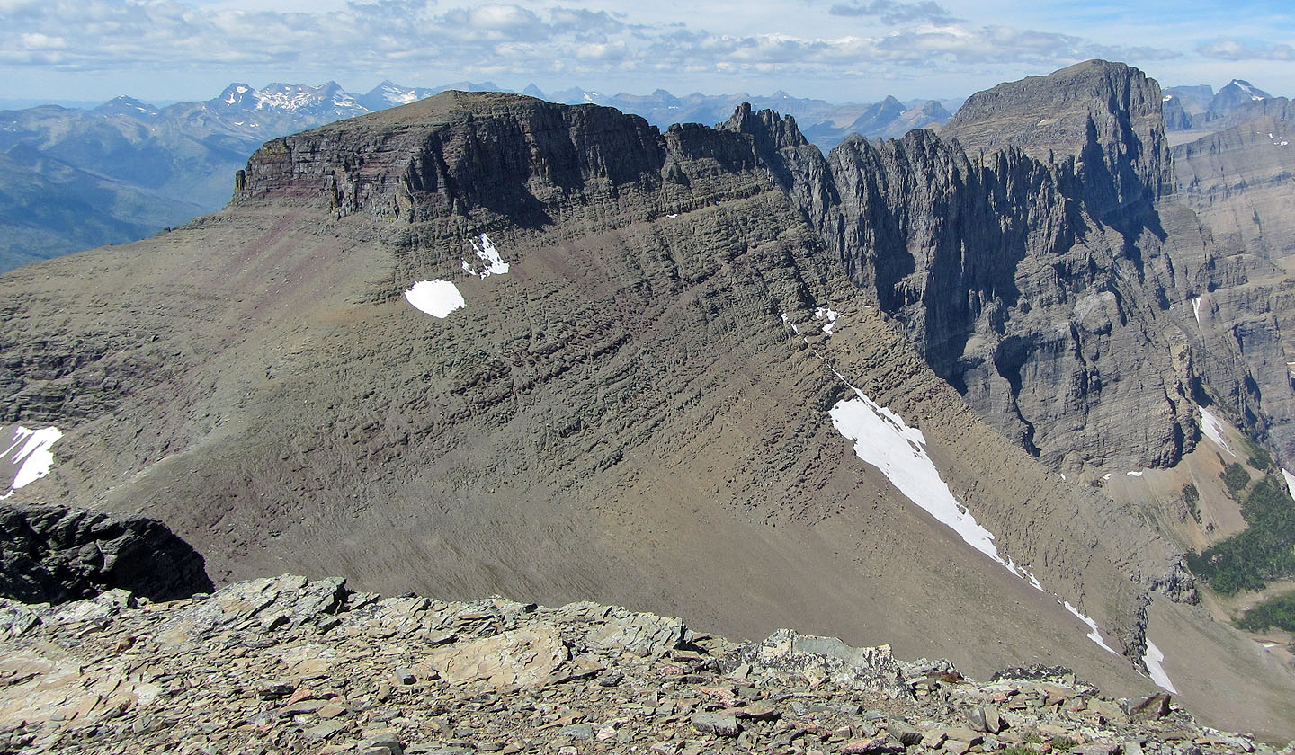
Pollock Mountain and Bishops Cap
Mouse over to see my route up Pollock
Mount Siyeh lies east
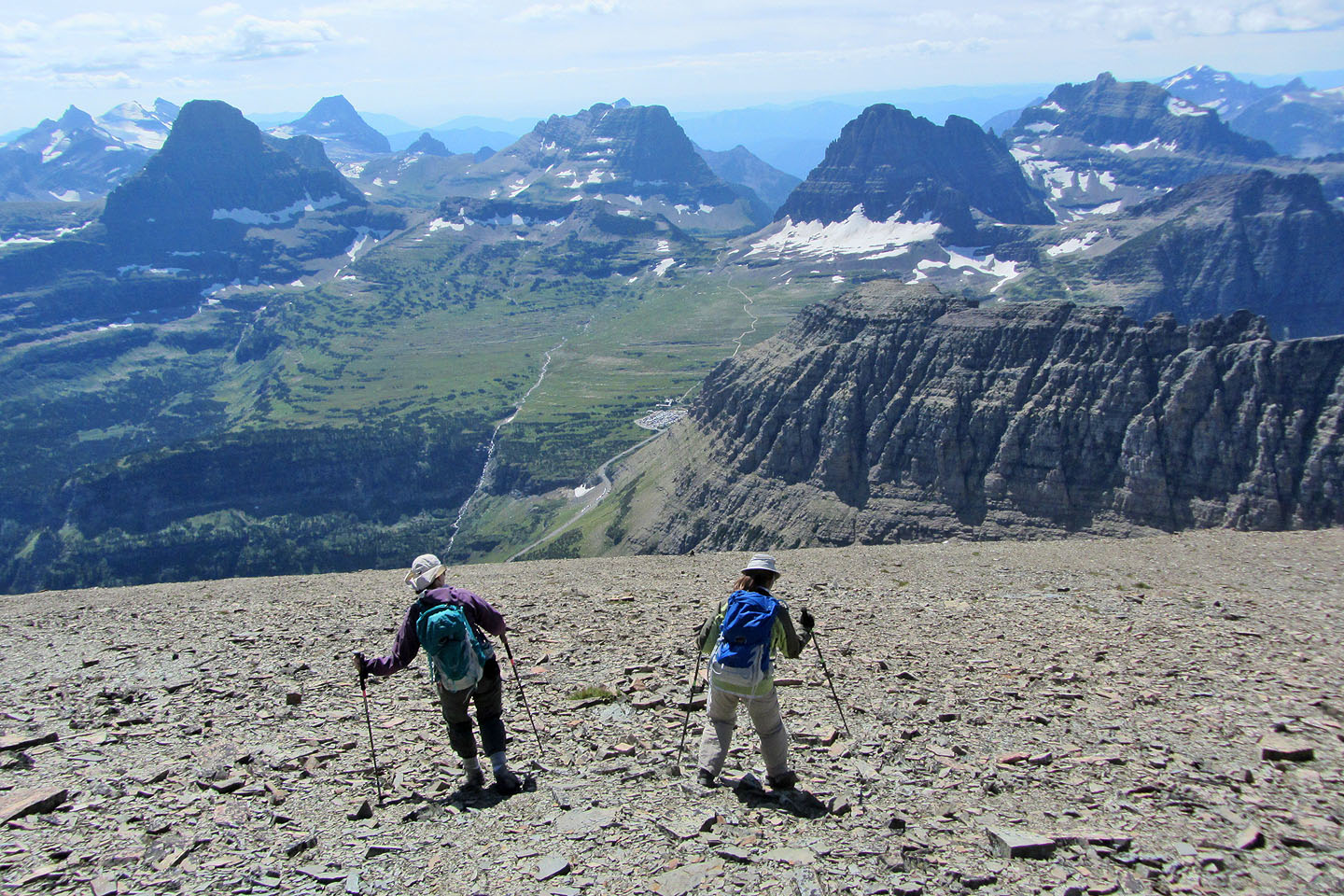
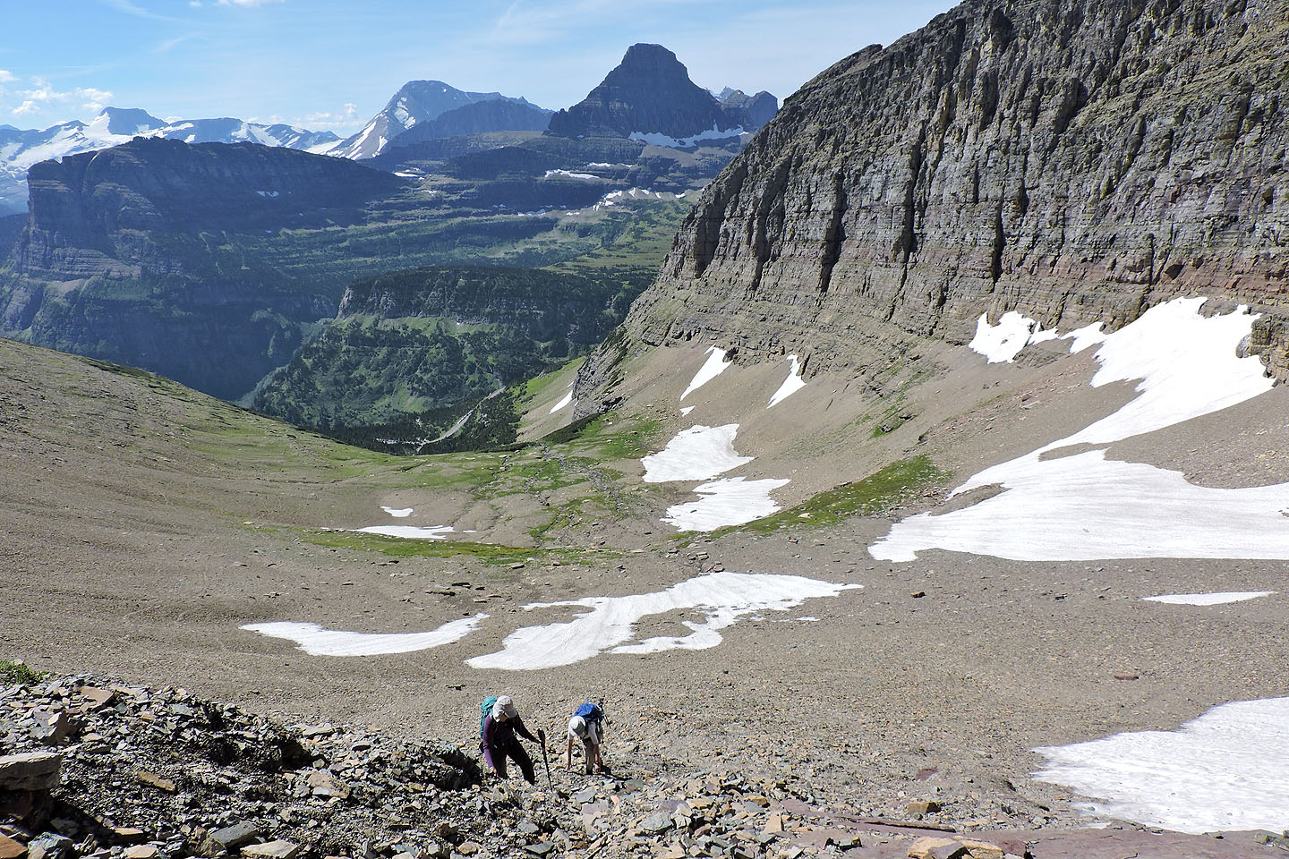
Heading down the west slope
Near the bottom we negotiated some easy cliff bands
Looking back from near the trail
Back at the waterfall
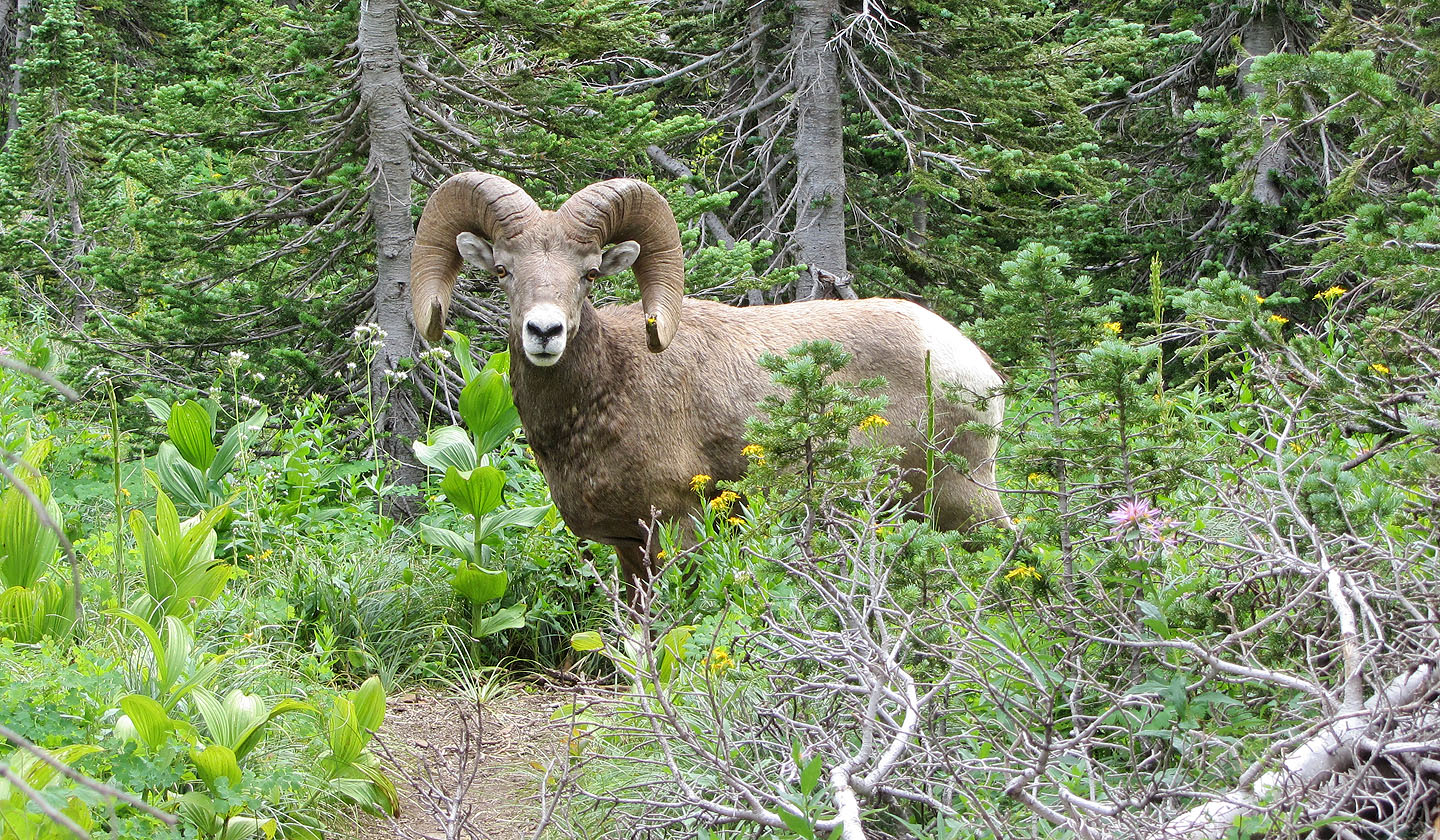
Just a few dozen metres from the trailhead, a bighorn sheep pauses on the trail before moving off
Logan's Pass (4.0 mi, 9213 ft, 2815 ft)