bobspirko.ca | Home | Canada Trips | US Trips | Hiking | Snowshoeing | Map | About
Mount Helena
Helena, Montana
April 18, 2022
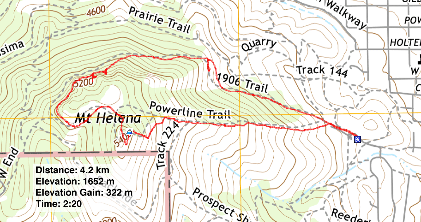
Distance: 4.2 km (2.6 mi)
Cumulative Elevation Gain: 371 m (1217 ft)
Dinah and I kicked off our U.S. road trip by stopping in Helena to hike Mount Helena. After a six-hour drive from Calgary, we welcomed stretching our legs on this little peak. We have Sonny Bou to thank for suggesting this trip.
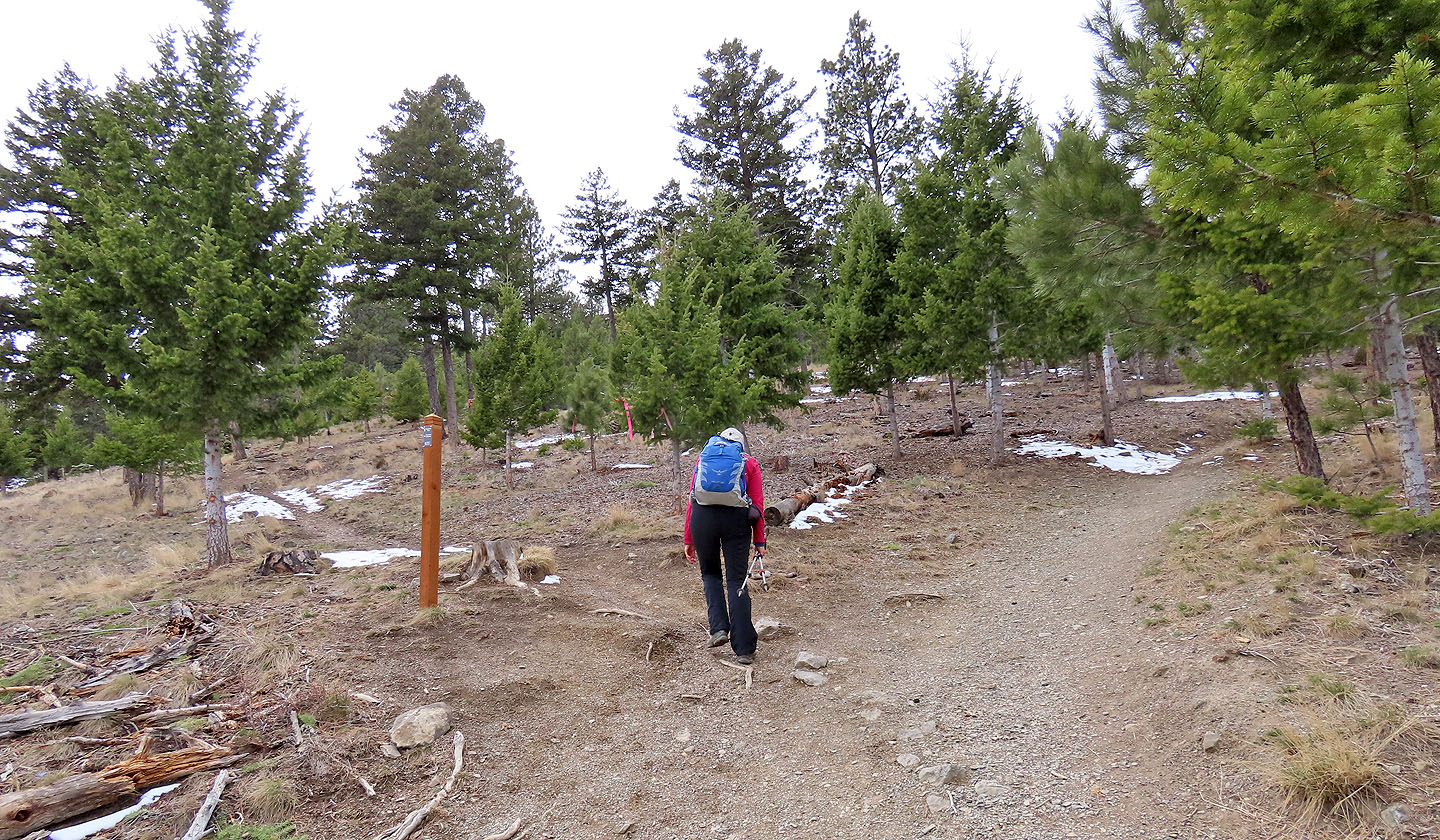
The hike begins at the west edge of the city. Mount Helena is riddled with trails, but we settled on ascending the steep Powerline Trail and descending the gentler 1906 Trail.
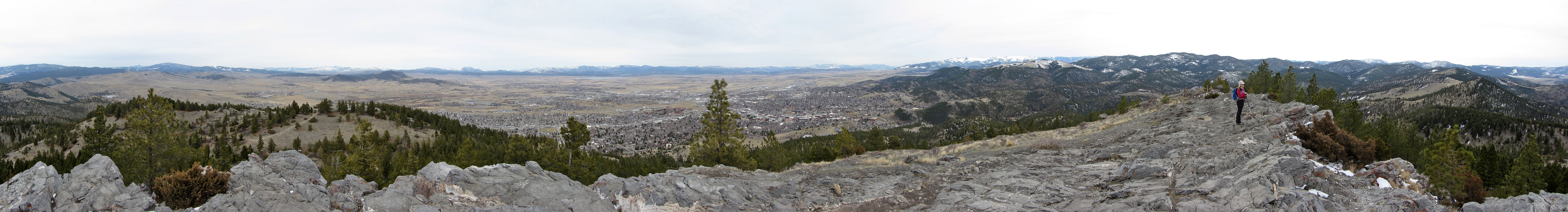
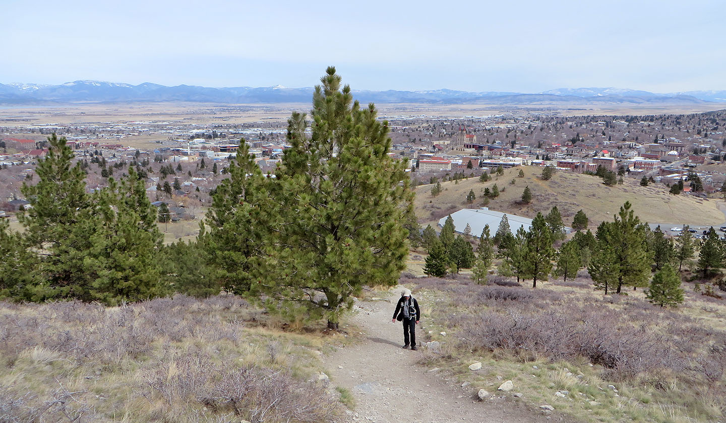
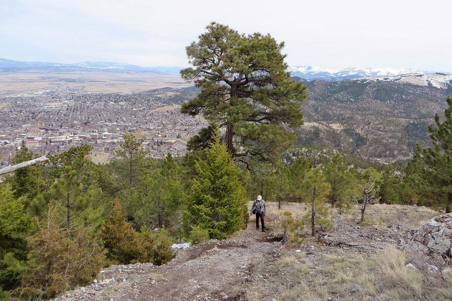
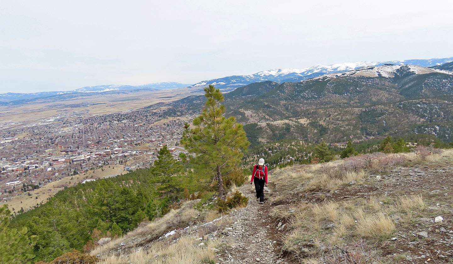
The Powerline Trail begins in a meadow but soon enters a thin forest of tall pines. The straight trail bypasses the summit, but near the top we caught a side trail that reaches the rocky summit. For the modest effort, the views were surprisingly fine. After looking around, we headed down the north side to catch the 1906 Trail. Our ascent up the east ridge was dry, but snow covered the north slope. Fortunately, the trail wasn't icy, and we didn't need Microspikes.
The 1906 Trail passes two features before rejoining the Powerline Trail. The first is a tall but shallow cave reached by a brief side trail. (Ignore the first side trail as it reaches a rock wall of little interest.) The second feature comprises white rocks arranged to create a huge H. You can guess what that stands for. We made it a point to see both attractions before finishing the trip.
Being close to Helena and offering good trails, we expected to see more people on Mount Helena, but saw few and enjoyed having the trails mostly to ourselves. The hike left us smiling as we continued driving south to warmer climes.
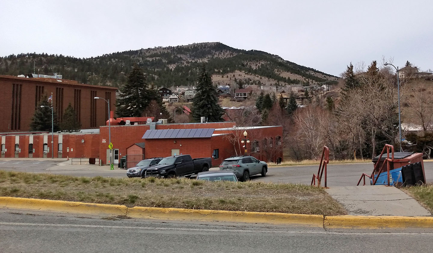
Mount Helena seen from the city. The Powerline Trail follows the left ridgeline.

Starting up the trail
Looking back soon after starting up
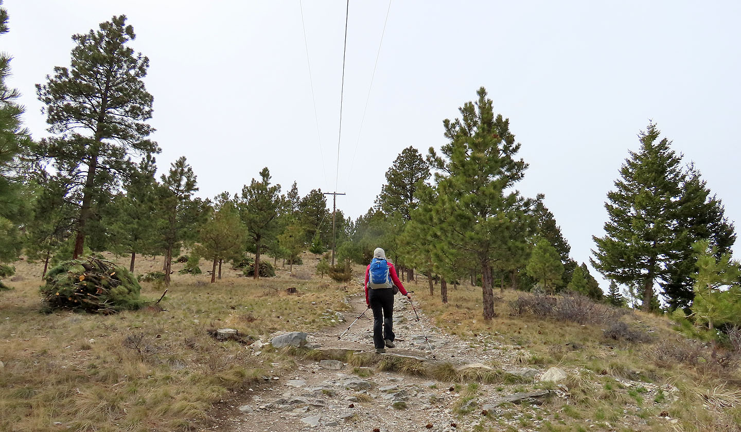
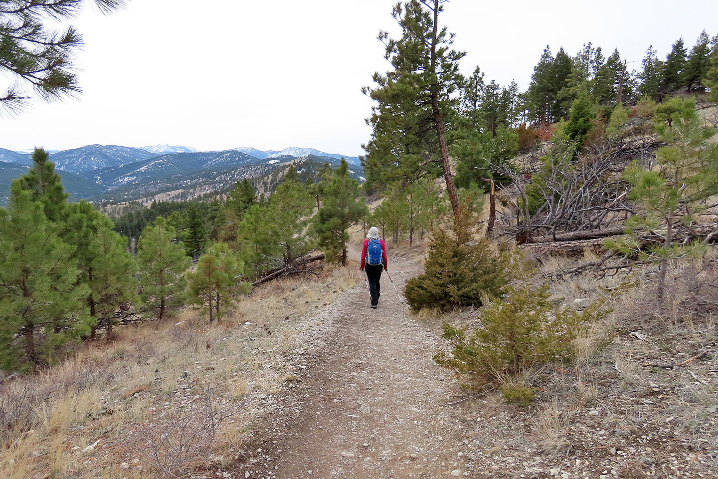
Climbing the Powerline Trail
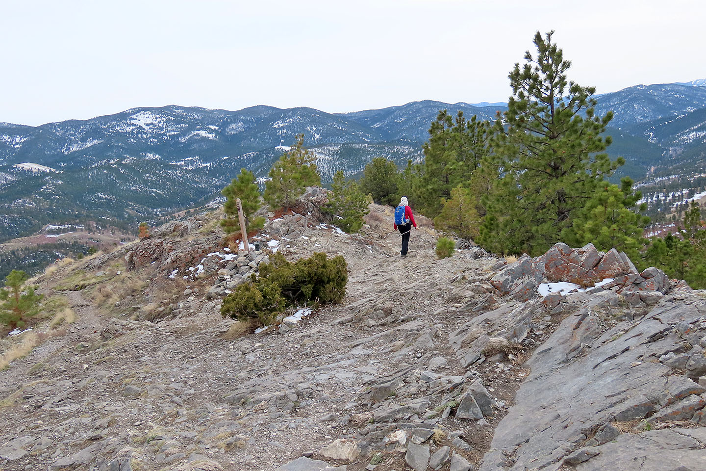
We turned onto the trail leading to the summit
Towering ponderosa pines dot the mountainside
Looking back as we approached the summit
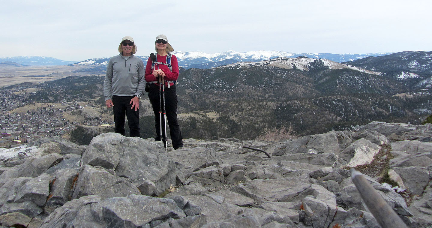
Standing on the summit
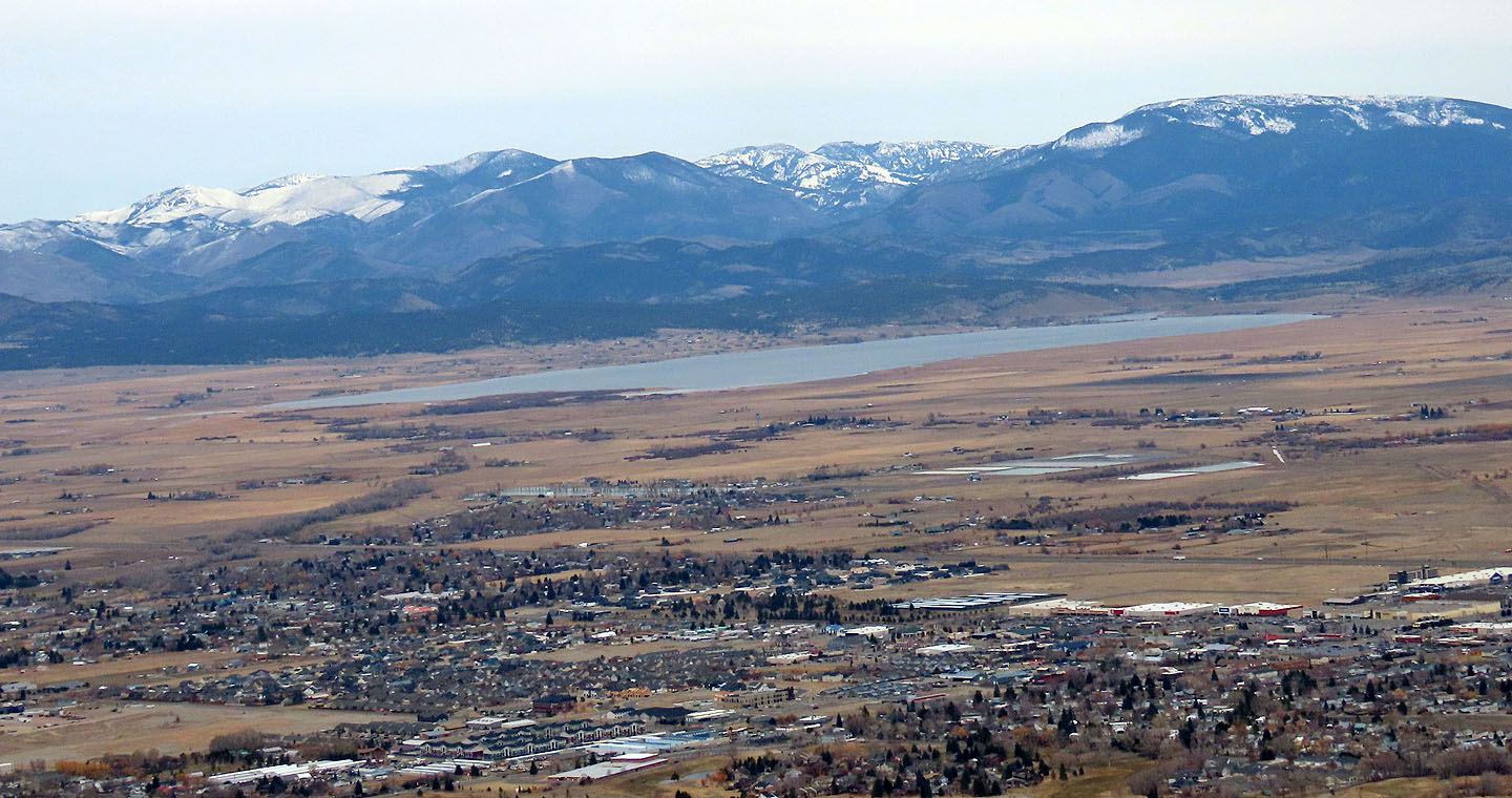
Helena Lake
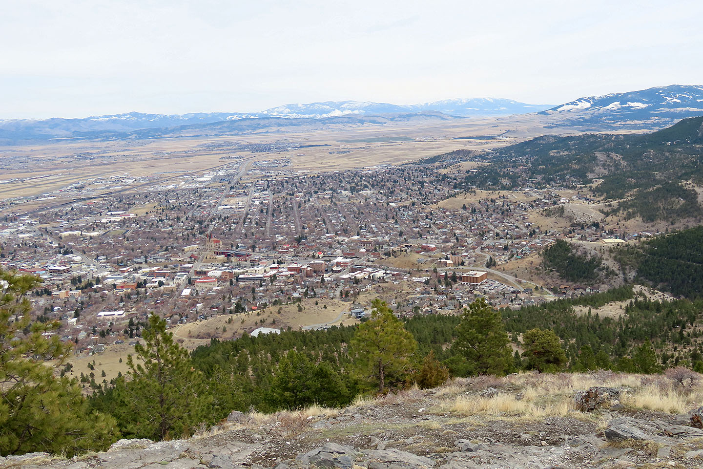
Looking down at the City of Helena
We continued down the other side
Views to the north were limited
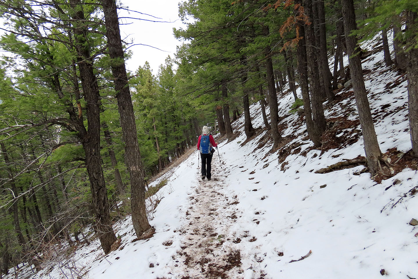
Much of the trail on the backside was covered in snow
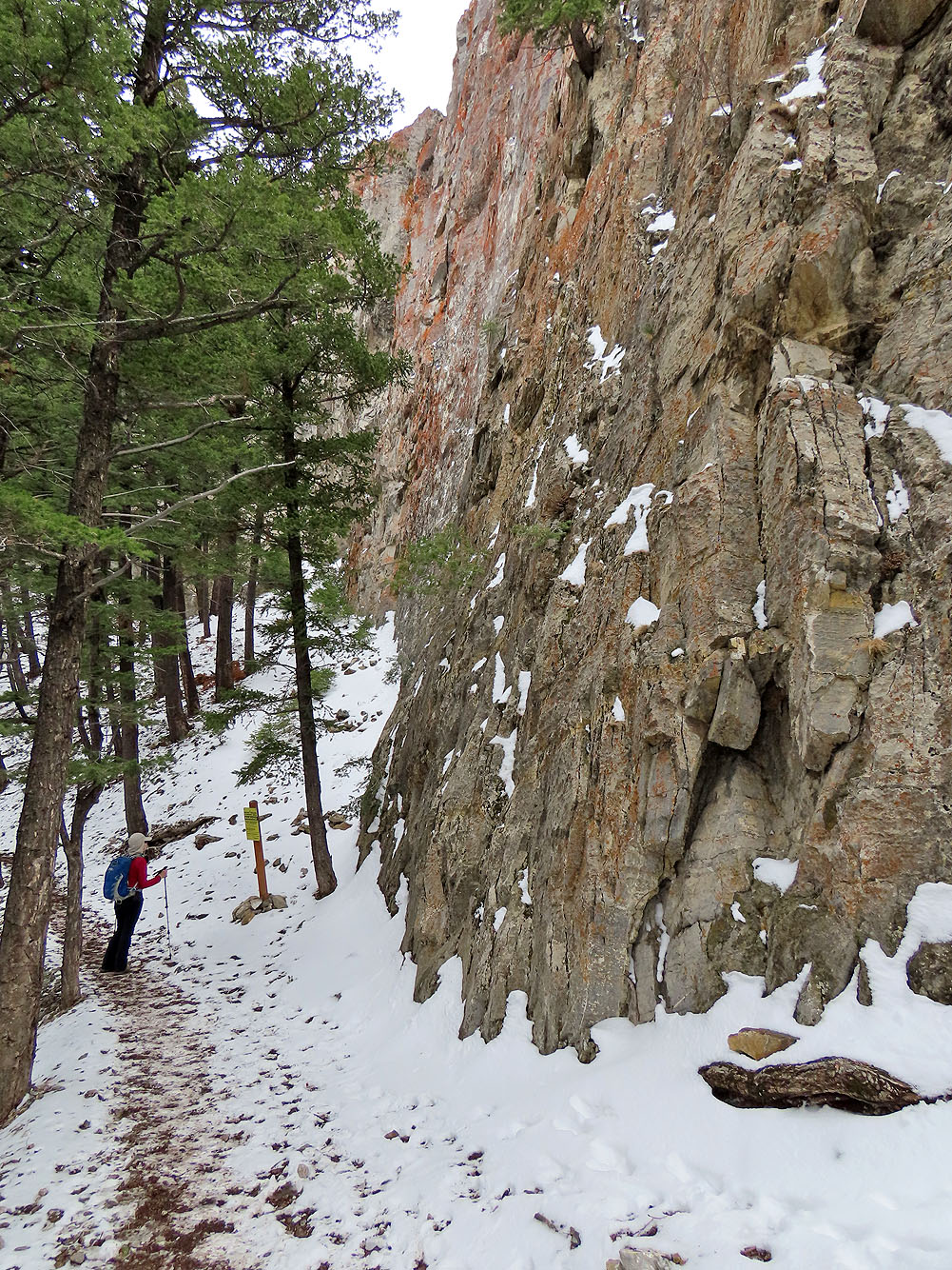
A brief side trail leads to tall cliffs. A sign warns of the dangers of climbing.
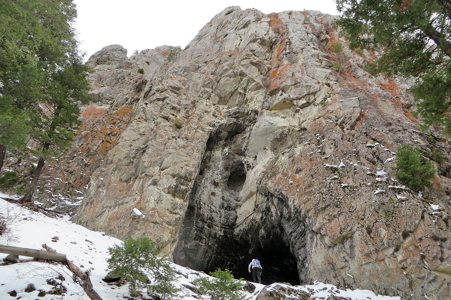
Another trail leads leads to Devil's Kitchen Cave
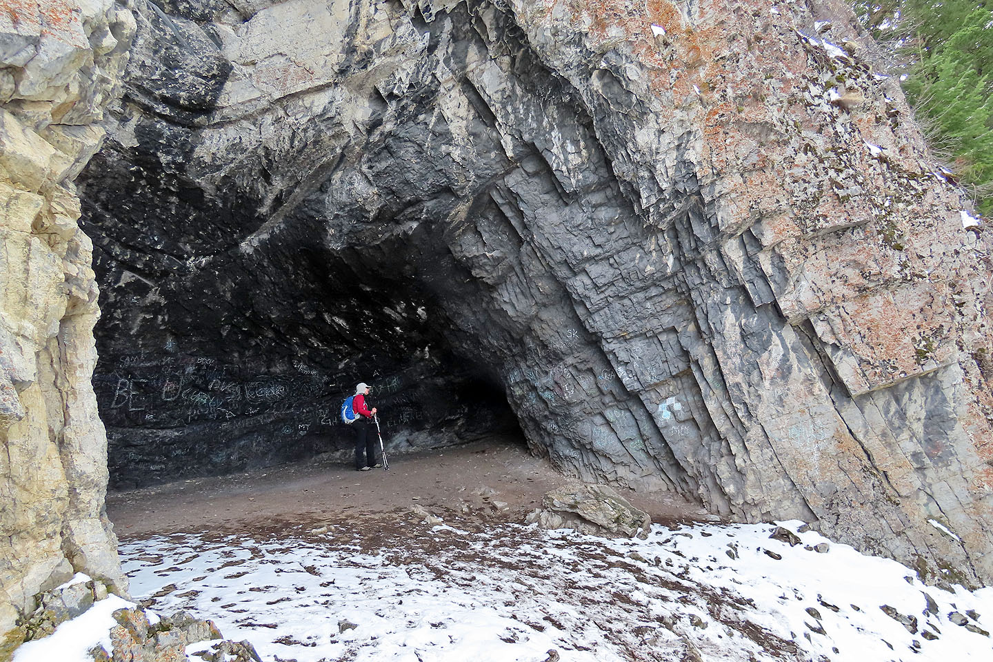
Dinah ventures into the cave
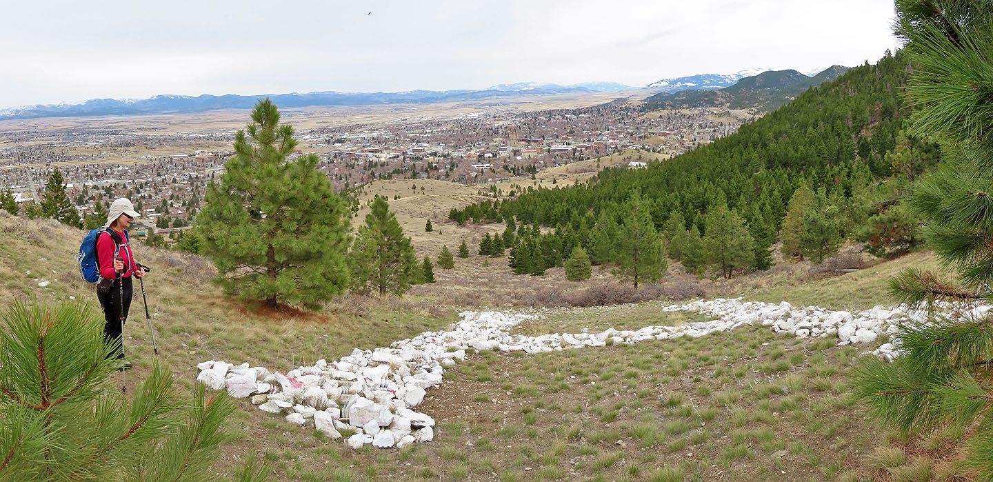
We stopped by the big H on the mountainside.
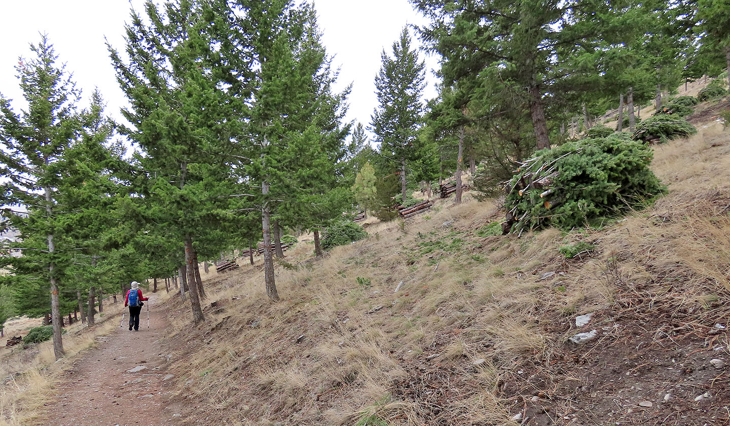
The mountain was undergoing tree thinning, a process that removes trees killed by pine beetles and reduces fire-fuel.
 Mount Helena (2.6 mi, 5420 ft, 1056 ft)