bobspirko.ca | Home | Canada Trips | US Trips | Hiking | Snowshoeing | Map | About
LaDuke Hill
Gardiner, Montana
July 13, 2022
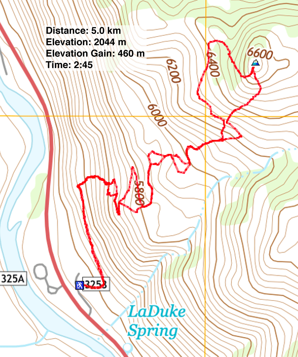
Distance: 5.0 km (3.1 mi)
Cumulative Elevation Gain: 460 m (1509 ft)
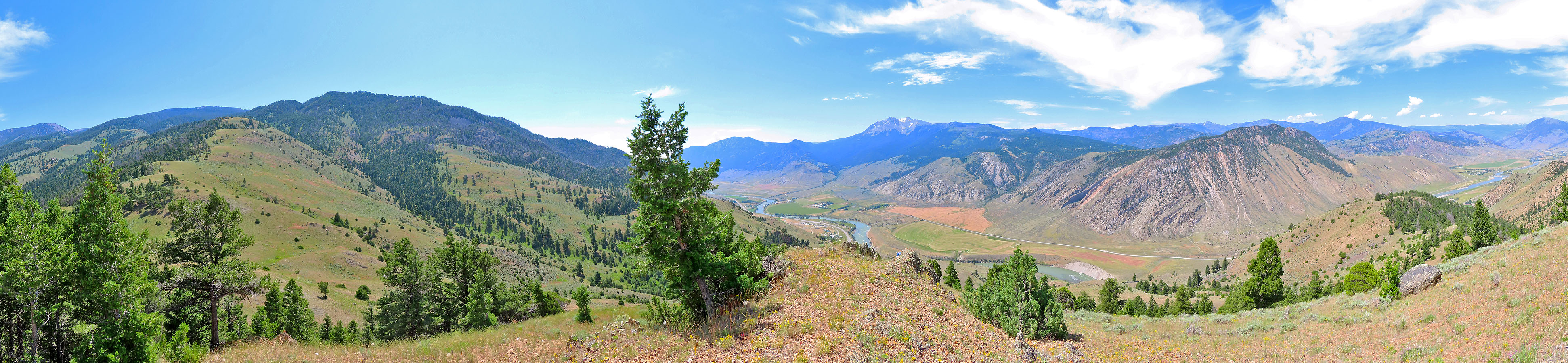
Looking for a short hike and something different, Dinah and I found it in LaDuke Trail, about an hour southeast of Bozeman. With its open slopes, we enjoyed mostly unobstructed views throughout the hike, and we delighted in seeing blossoming cacti. It was quite a change after hiking in forests near the city.
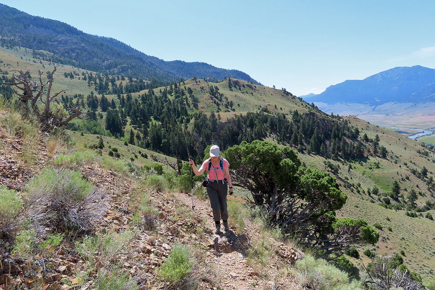
A plethora of switchbacks climbs the lower slopes, so long that shortcuts are prevalent. As we climbed, we took advantage of every shortcut we saw, and on the descent, took others we had missed going up. The result is a messy route, but it brought us up and down an unnamed hill. It seemed only natural to call it LaDuke Hill after the trail.
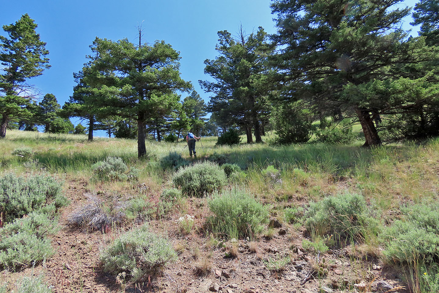
We followed the trail and used shortcuts to reach the slope west of the hill. Then we left the trail and hiked through thin trees to reach the bare summit. After spending a short time on top, we descended the south slope. This was quicker and gentler than retracing our steps, and we were soon back on the trail.
After reaching the bottom switchback, close to the parking lot, we ran into a girl coming up, the only person we saw on our trip. We didn't envy her late start. The clouds were building, threatening a storm, and the heat was rising. It was 36 C when we reached our car, a harsh temperature when there is scant shade.
Dinah starts up LaDuke Trail
Hiking up the first switchback
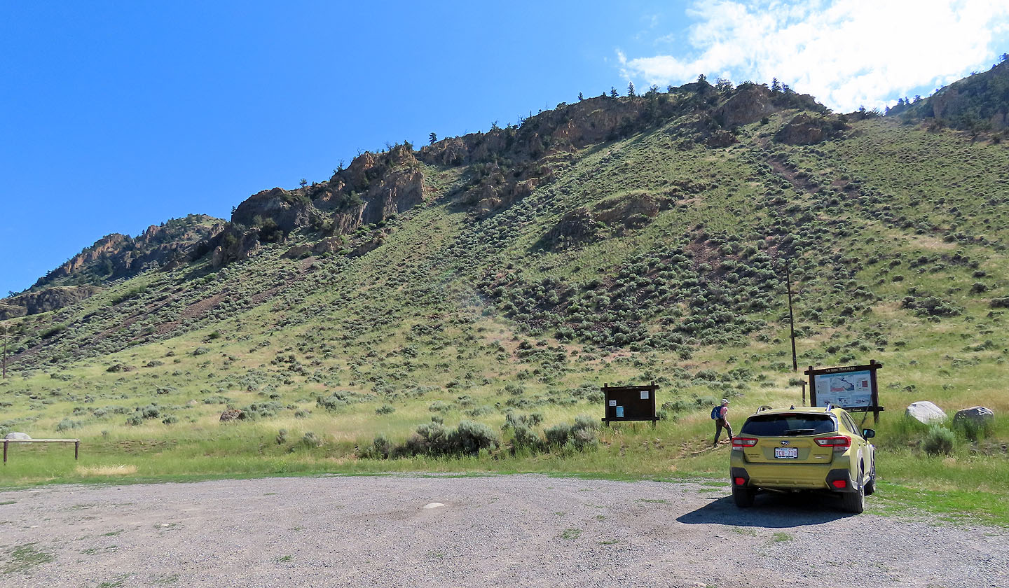
Looking back at the parking lot
We took the first shortcut
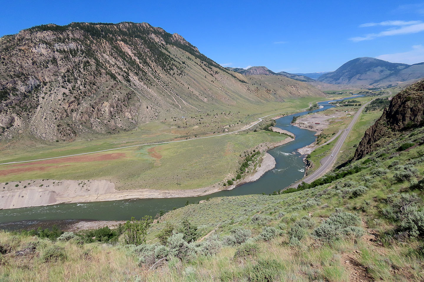
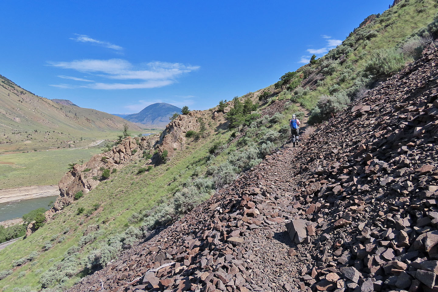
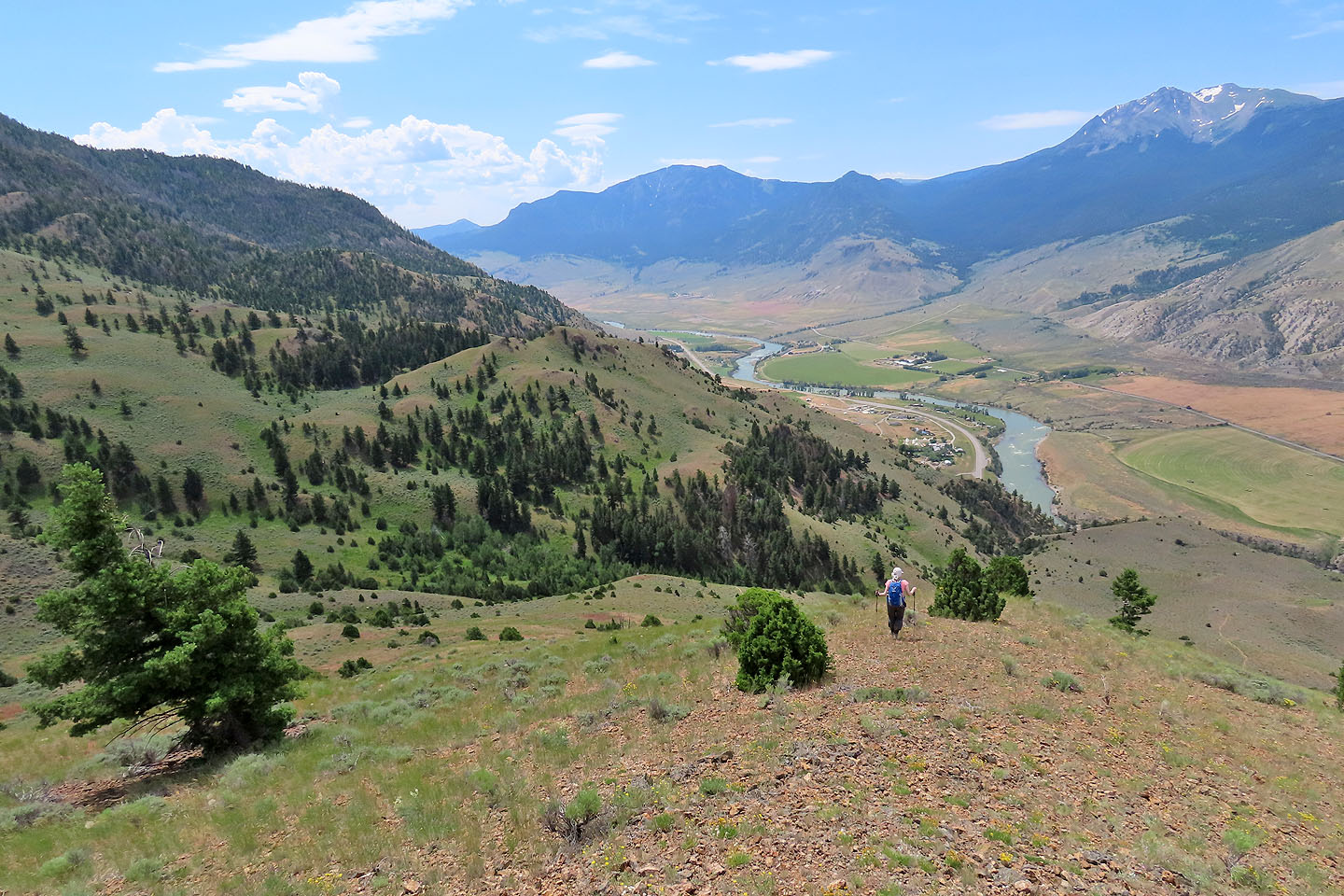
Yellowstone River runs below
A small cloud hangs over LaDuke Hill
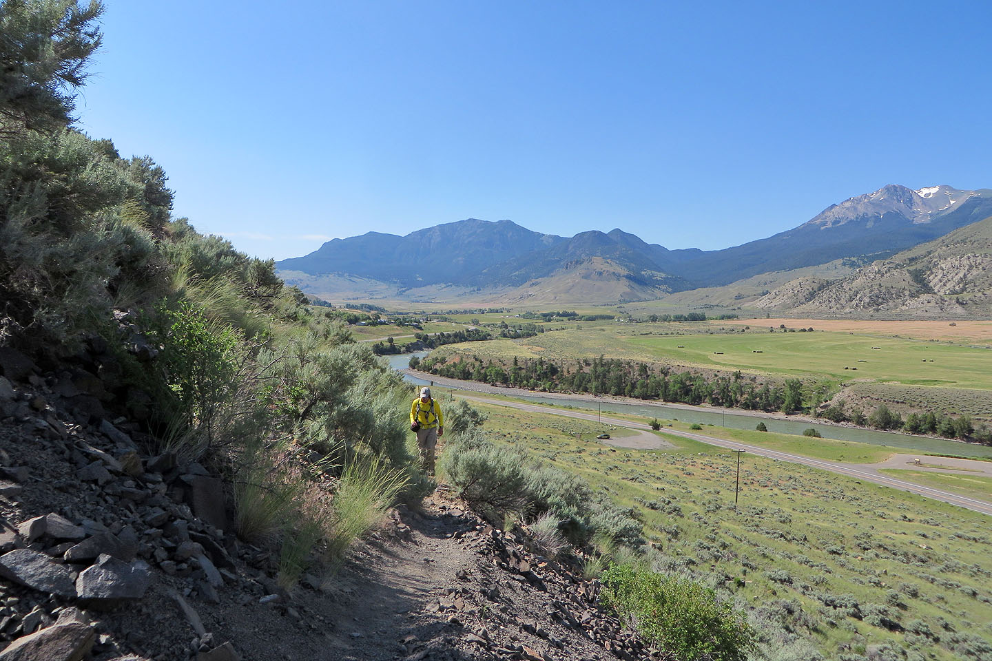
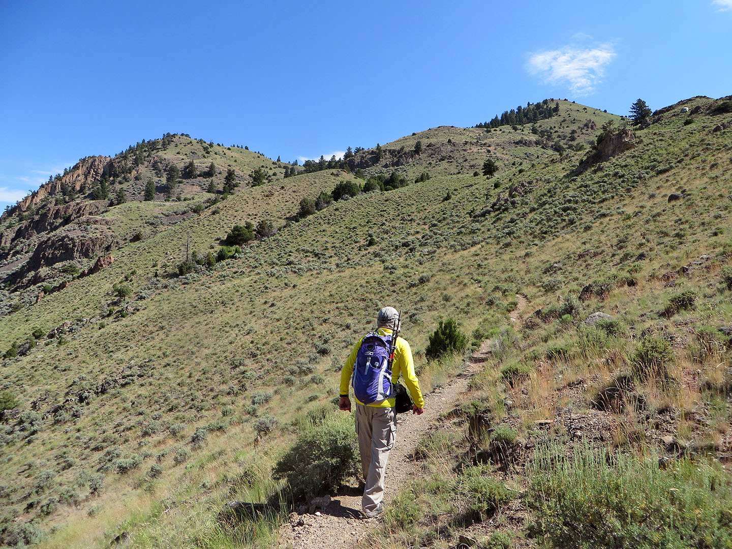
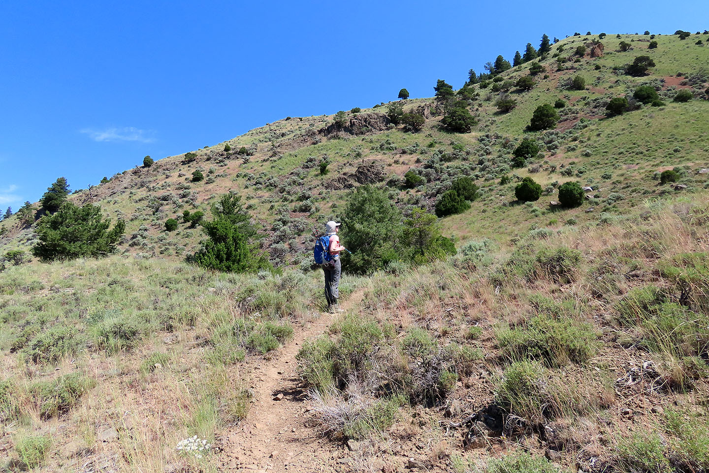
Continuing up the trail
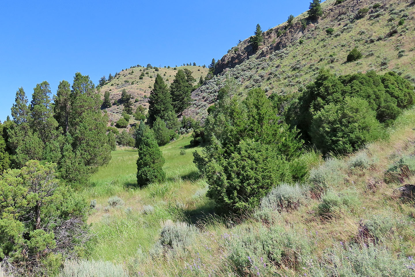
The trail passes a lush marsh
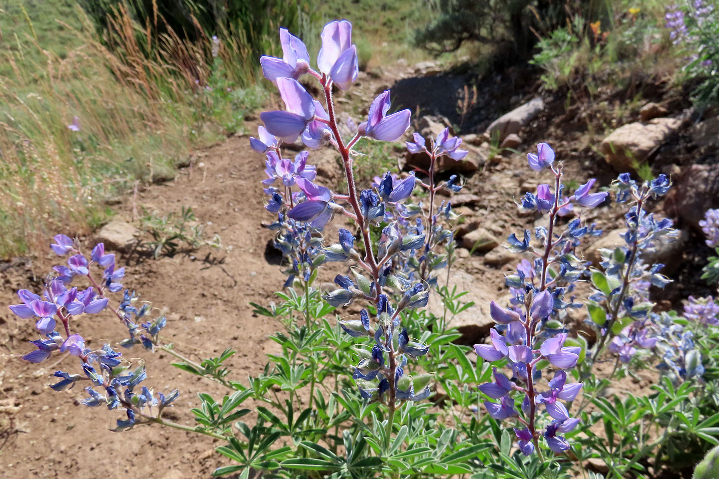
Lupine
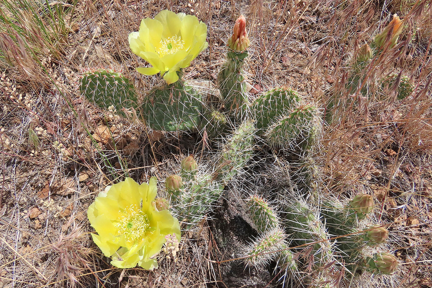
Prickly pear cactus
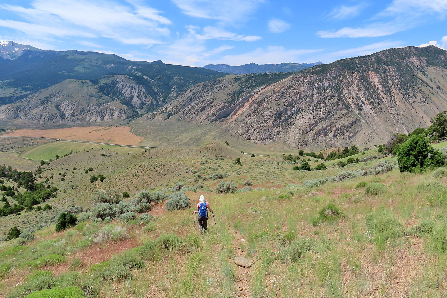
The trail reaches the base of the hill
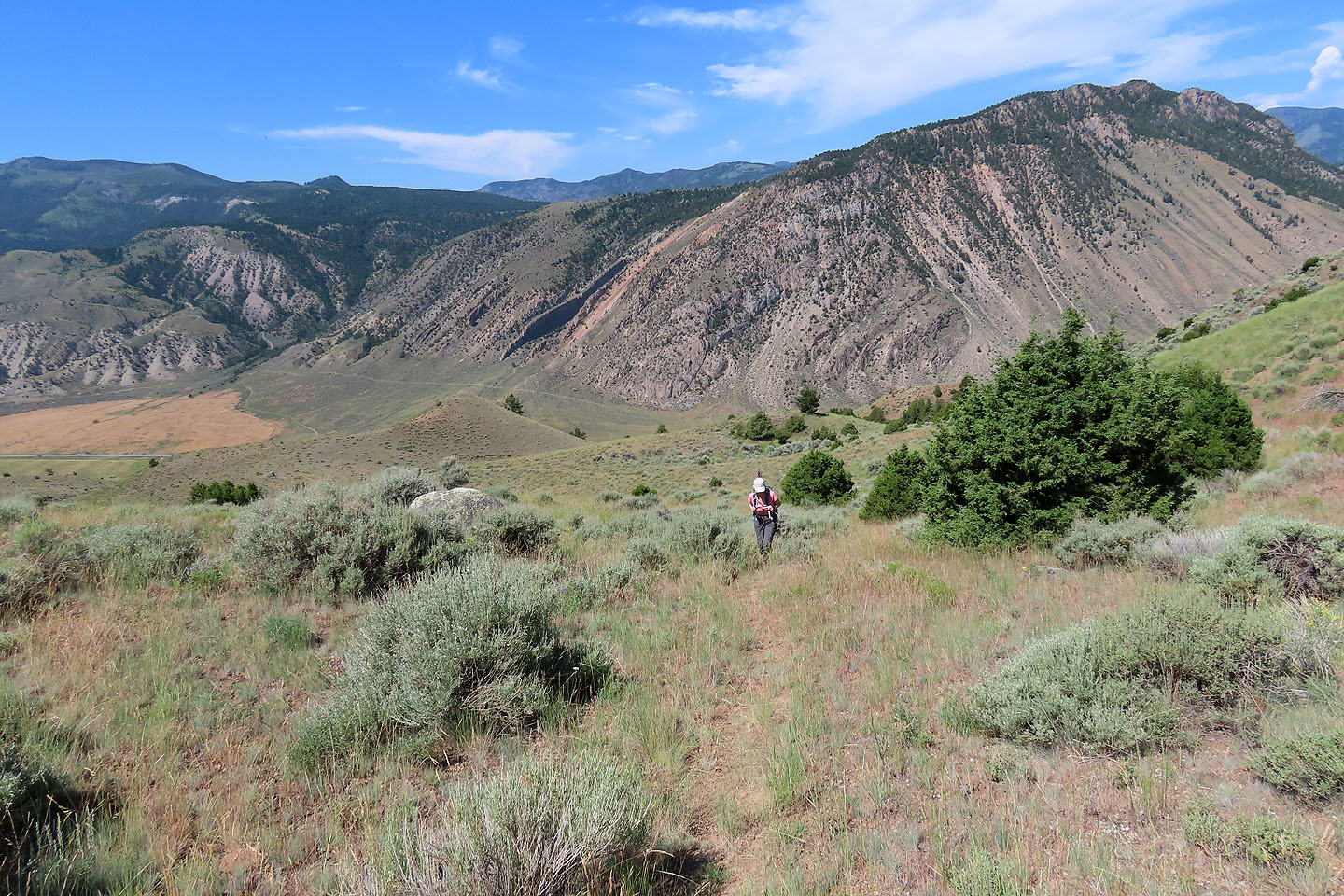
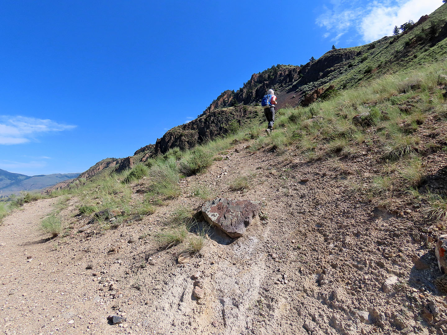
Looking back as we followed a faint shortcut. Behind us is Cinnabar Mountain.
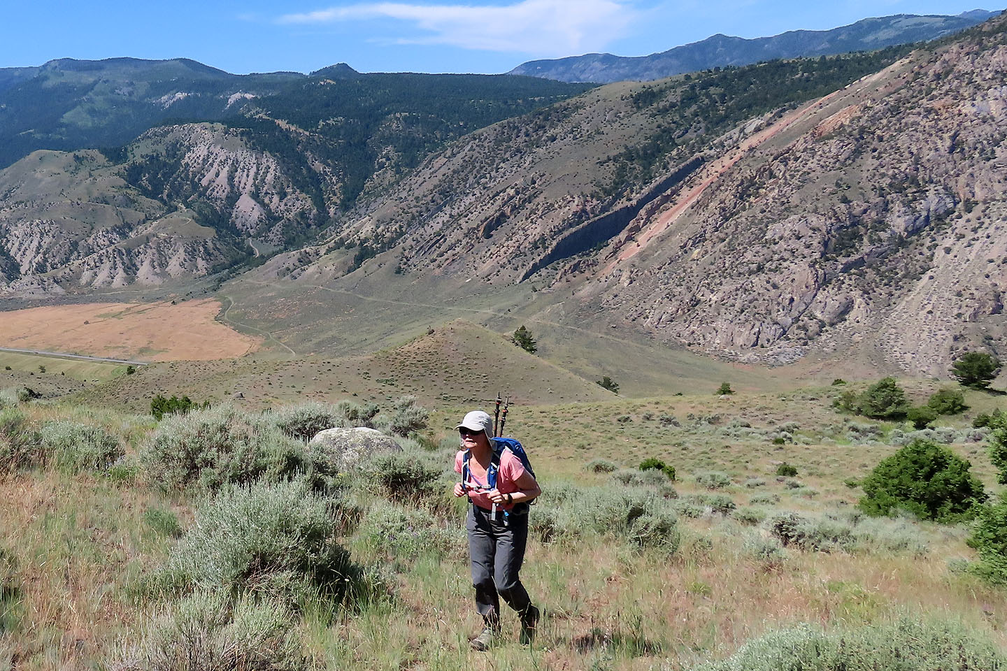 The red slash on Cinnabar is Devil's Slide
We left the trail and made our own shortcut
We gravitated to the rocks
Back on the trail
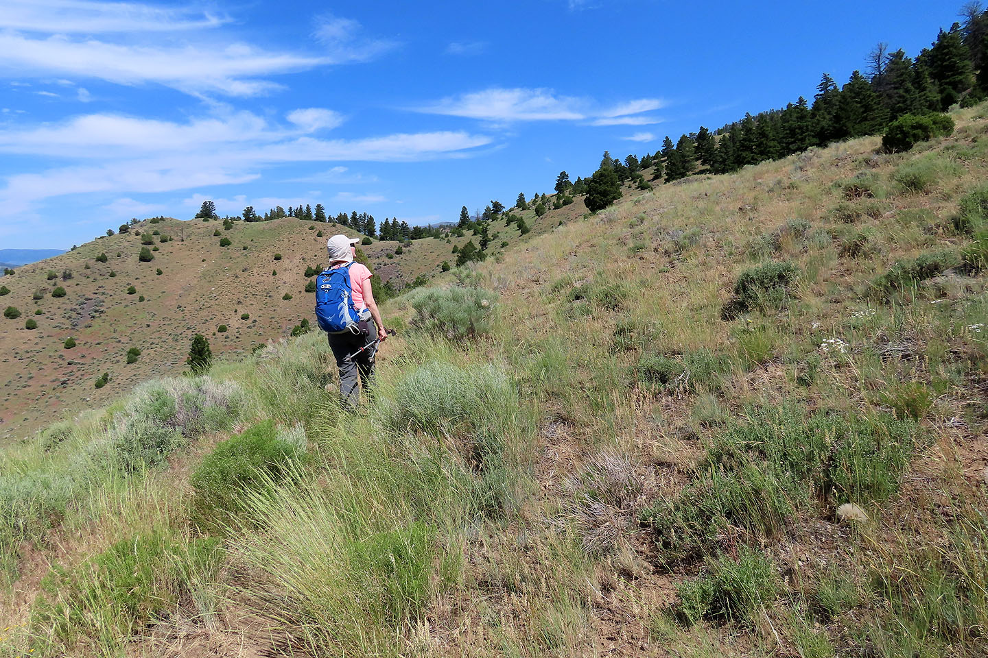
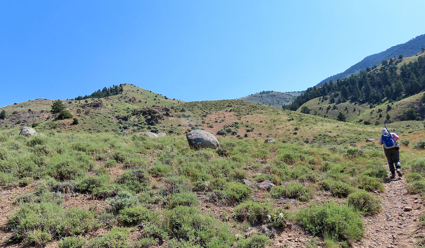
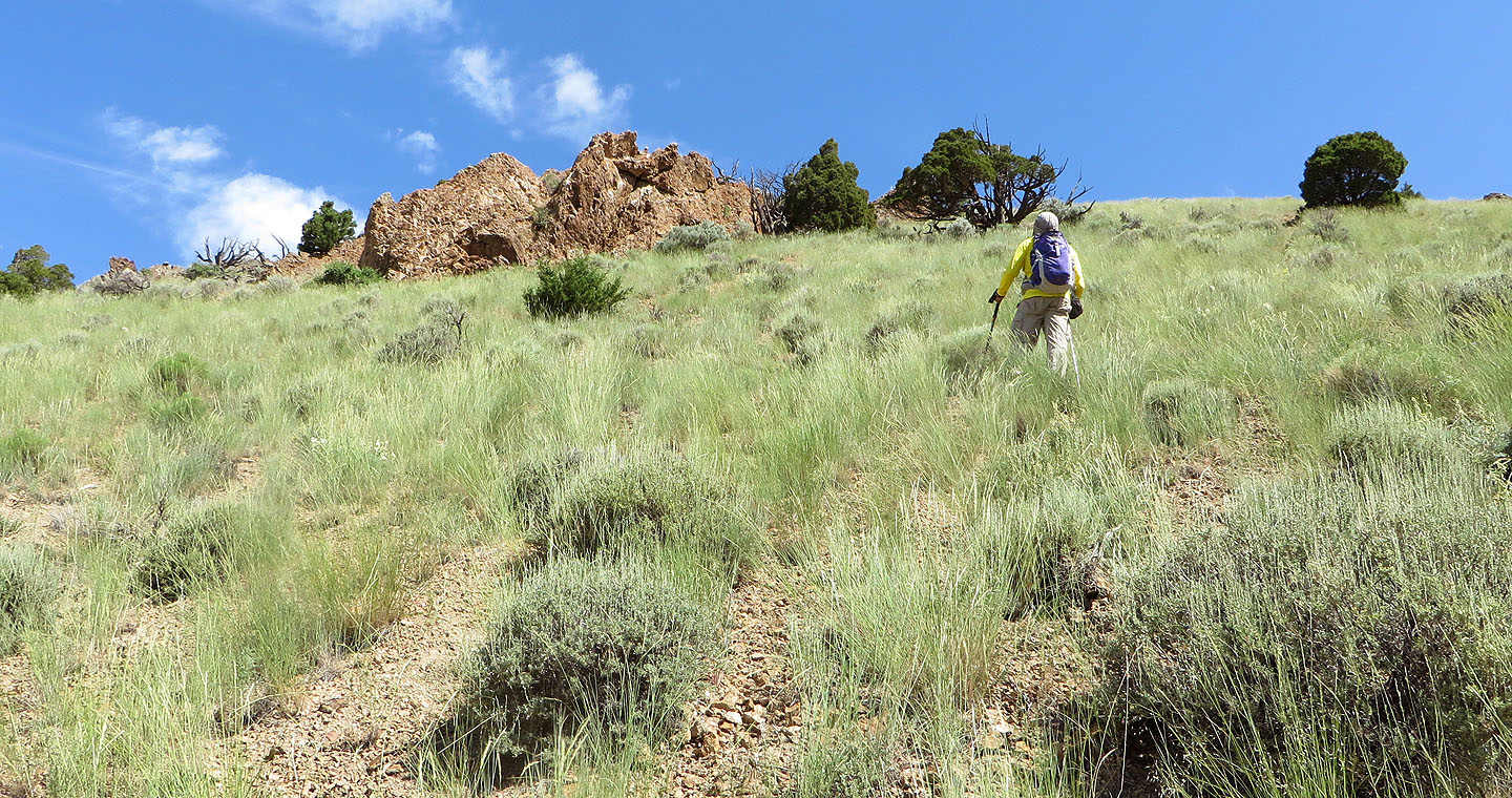
Still on the trail, we started looking for the best place to ascend the hill
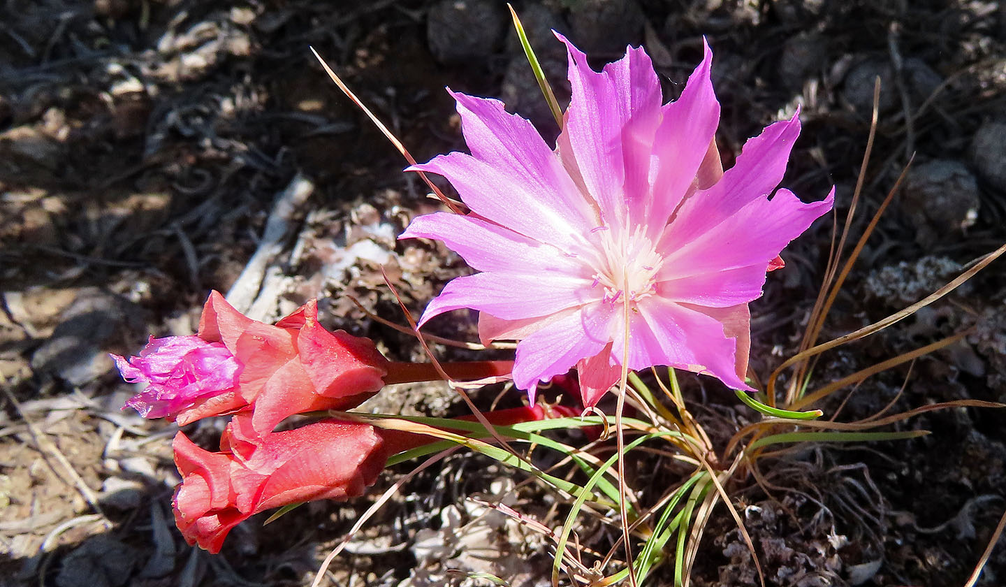
Bitterroot
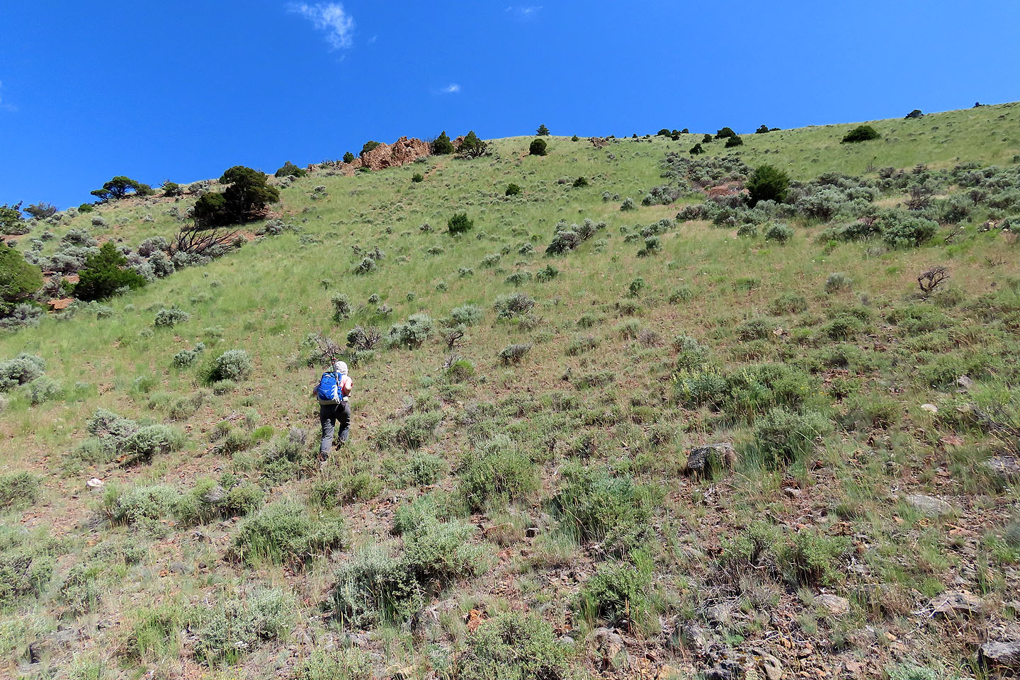
We left the trail and started up the slope
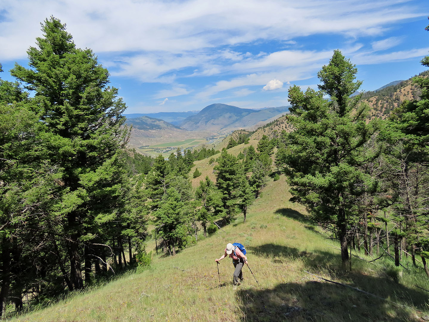
We kept to clearings as we climbed
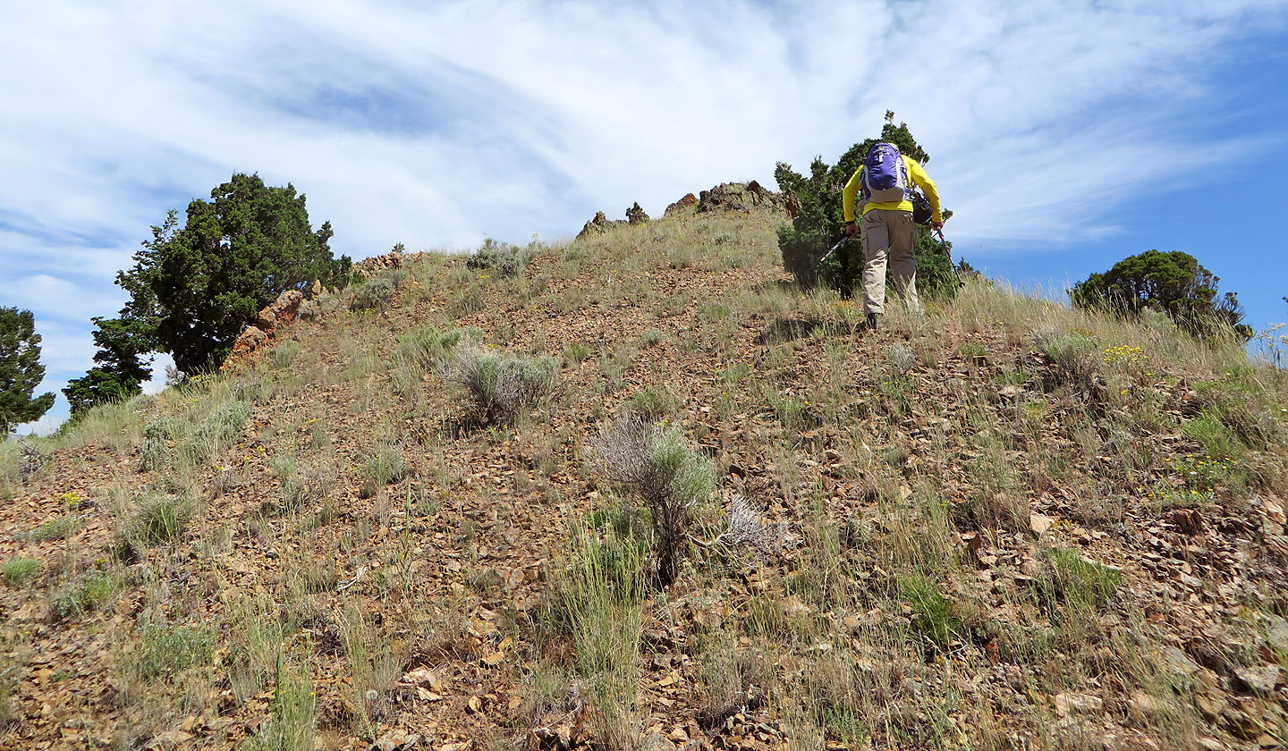
Coming up to the summit
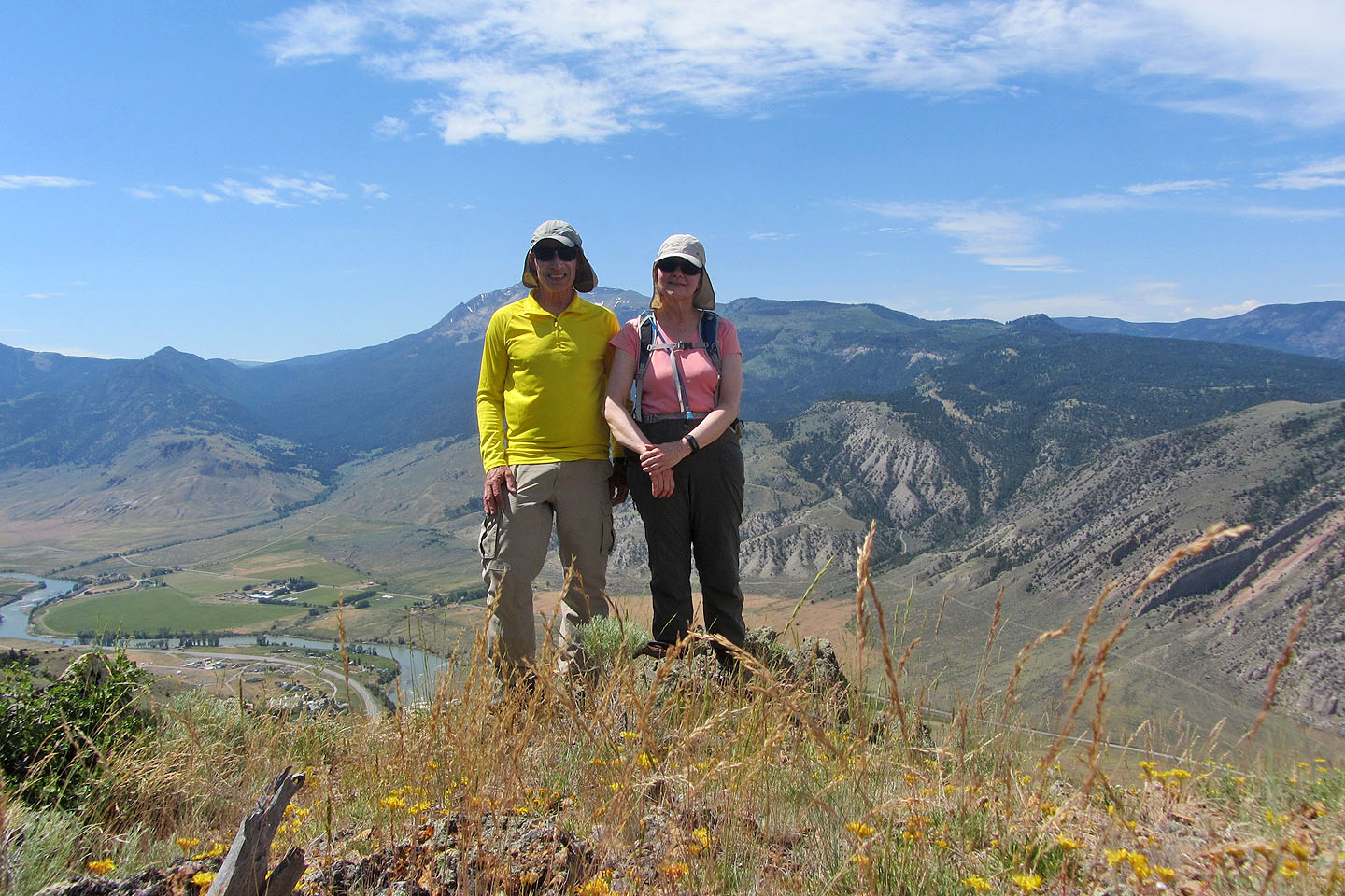
Standing on the summit
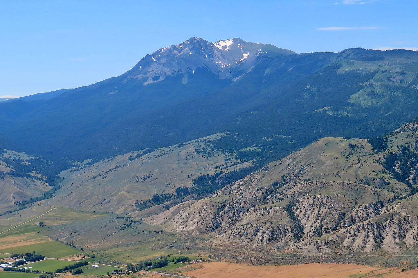
3343 m Electric Peak lies southwest
We descended the south slope
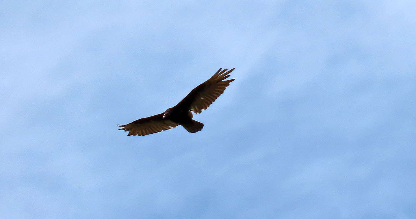
One of two turkey vultures that circled above us, perhaps hoping we would fall off a cliff
Back on one of the shortcut trails
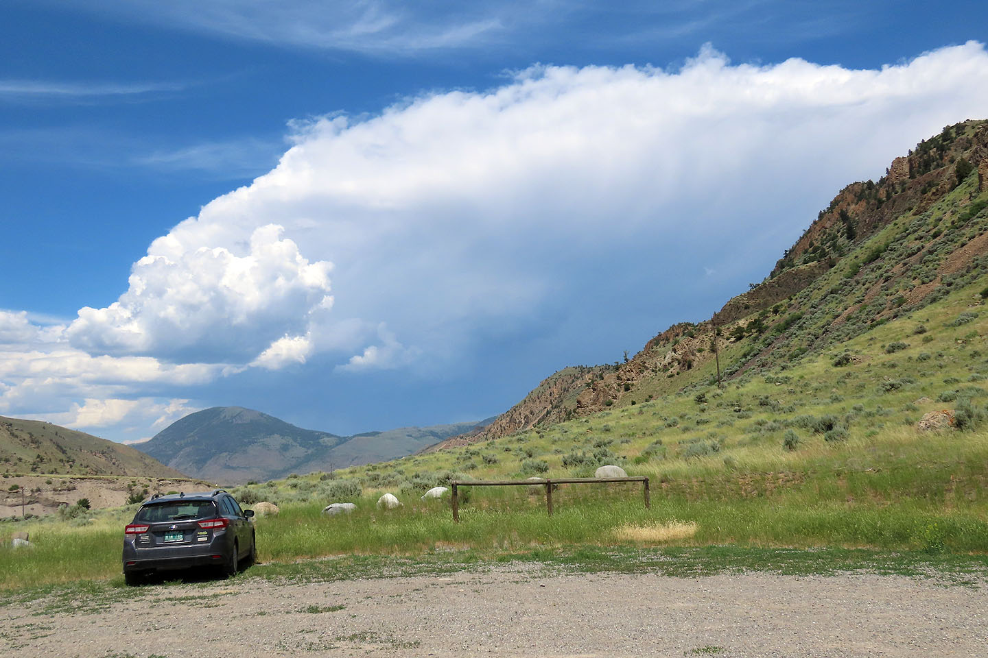
Returning to the parking we saw an afternoon storm brewing. A good reason for choosing a short trip!
Electric Peak (3.1 mi, 6706 ft, 1509 ft)