bobspirko.ca | Home | Canada Trips | US Trips | Hiking | Snowshoeing | MAP | About
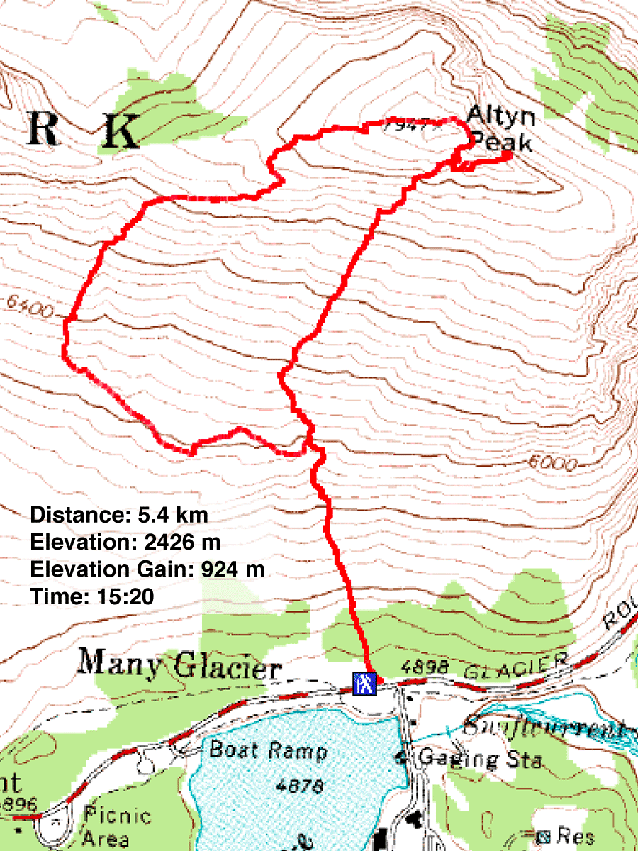
Altyn Peak
Glacier National Park, Montana
August 1, 2009
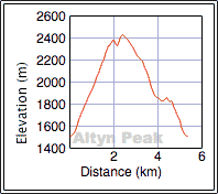
Distance: 5.4 km (3.4 mi)
Cumulative Elevation Gain: 997 m (3271 ft)
The long drive to Glacier National Park left us with half a day to climb Altyn Peak. Following the route descriptions in Climber's Guide to Glacier National Park, we wanted to ascend the mountain using the South America route and descend via the Western Saddle route. But the brief descriptions left us scratching our heads. Although we didn't use either route, Sonny, Dinah and I summited and had a rewarding trip.
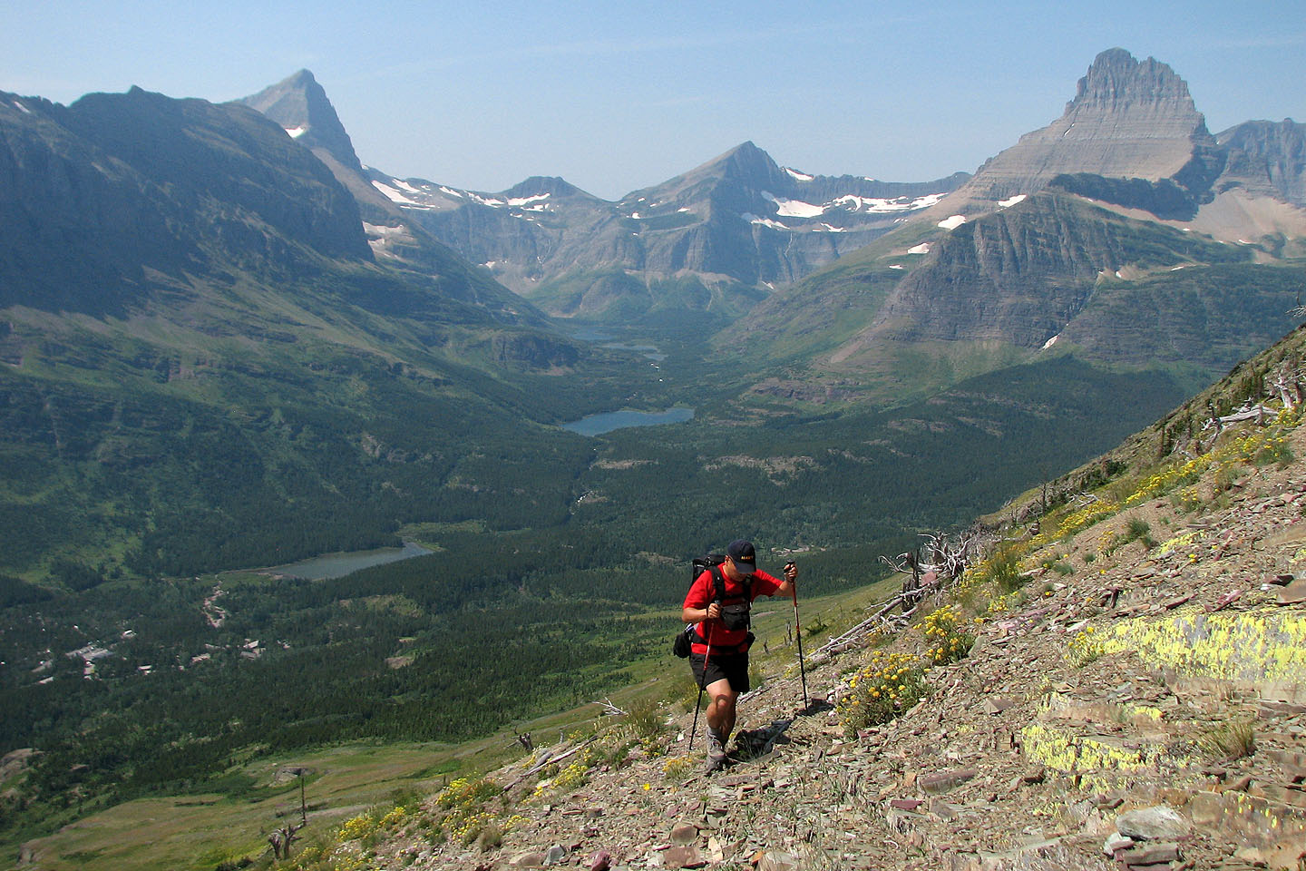
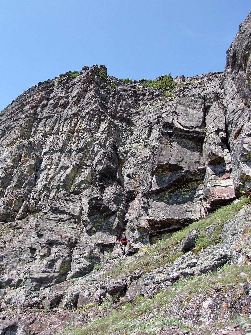
We had no trouble finding the trailhead: it's just past the junction at Swiftcurrent Falls. We parked at a pull-out past the trailhead. The steep, unrelenting trail follows alongside a drainage that cuts through a cliff band. Past that, open slopes stretch to a cliff band below the summit ridge.
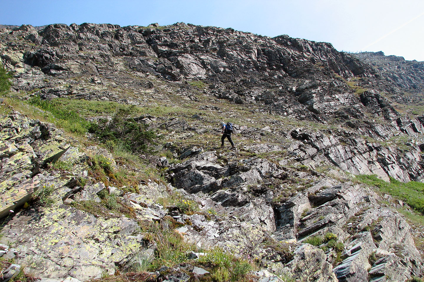
We saw three possibilities to reach the ridge: circumvent the cliff band left, go up a weakness in the middle or ascend a bowl right of the summit. The South America route suggested going up the east end, but it was hidden from view.
As we drew closer, the features of the cliff band resolved into sharper focus and climbing the bowl looked probable. On closer inspection, steep rocks barred the way, save for a short chimney. I reached it with Sonny close behind. Meanwhile, Dinah passed us to check the east end route that the book described. Leaving the chimney for Sonny to explore, I followed Dinah to the east end.
Unfortunately the east end appeared too difficult and exposed to attempt, especially without helmets. But since Sonny made the summit from the chimney, Dinah and I backtracked to it and soon joined him on top.
After a long stay on the summit, we headed to the Altyn-Henkel col. We looked for – and expected – an easy way down from there, but it was not to be. A long, circuitous route around steep slopes eventually brought us back to the drainage in the cliff band. We could have done without going to the saddle, but ascending Altyn Peak was an enjoyable scramble.
Sonny's Trip Report
KML and GPX Tracks
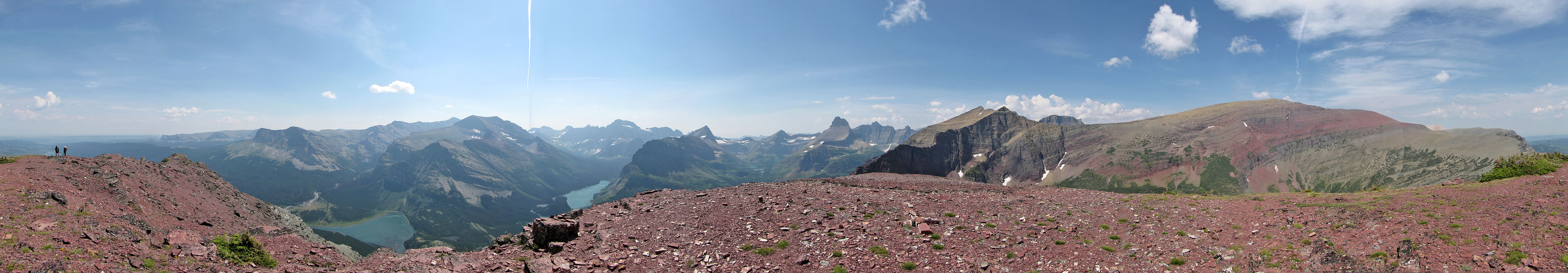
Altyn Peak (mouse over for our approximate ascent route)
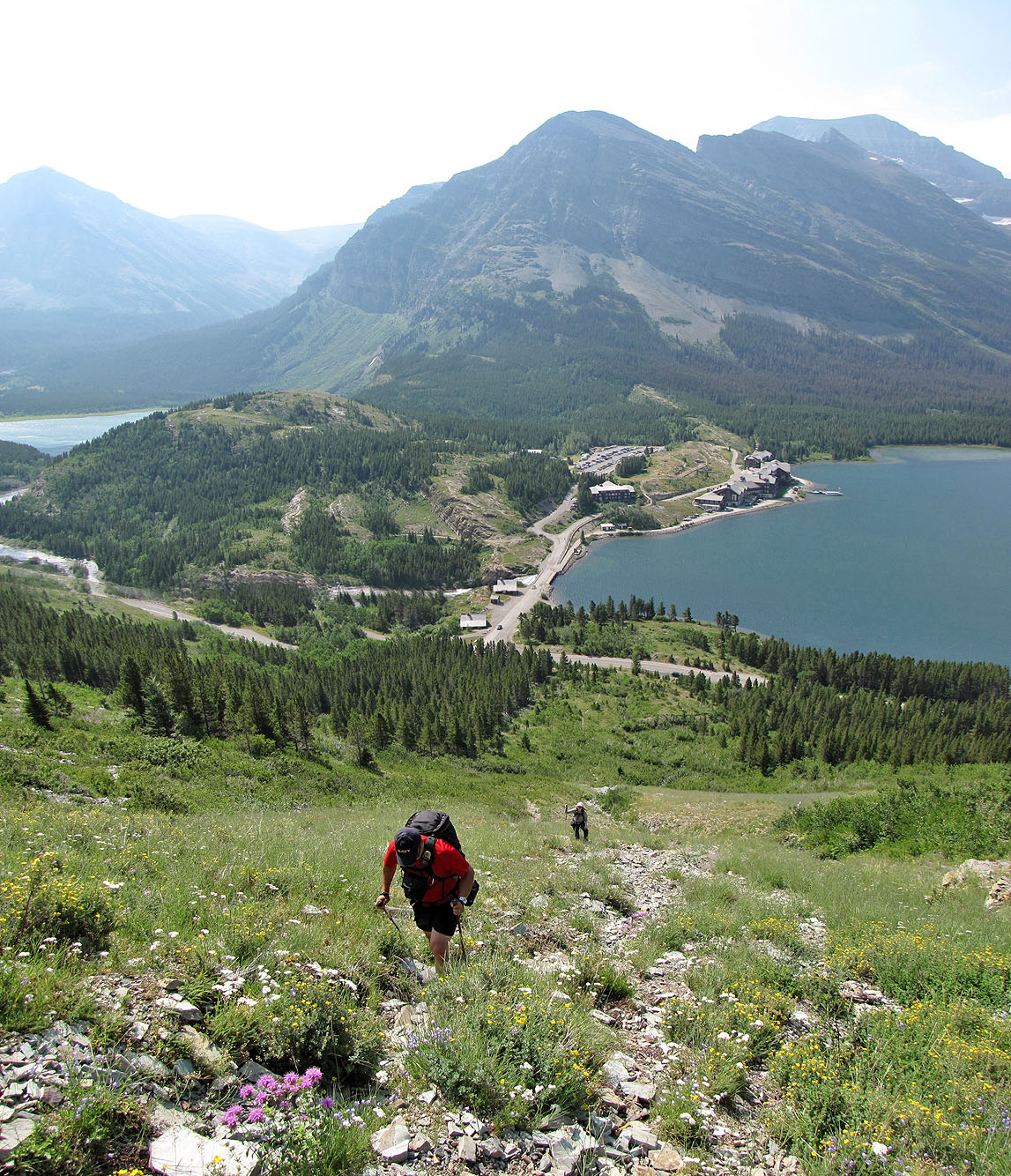
Heading up the trail
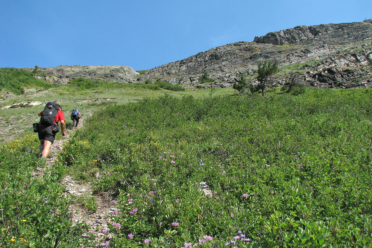
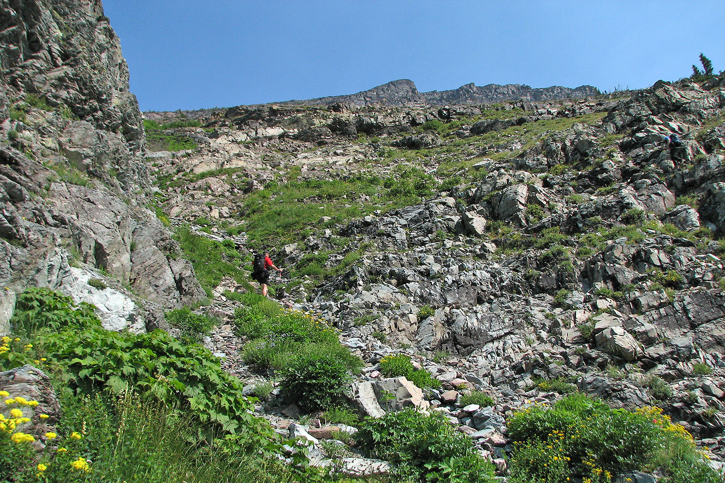
The trail follows a drainage that breaks through the cliff band
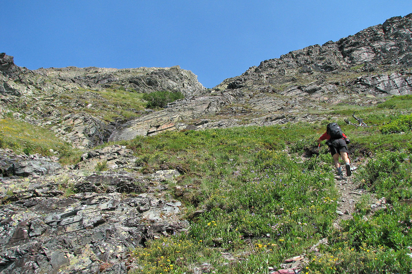
Nearing the break in the cliffs
Sonny and Dinah took the left side of the drainage
I took the right
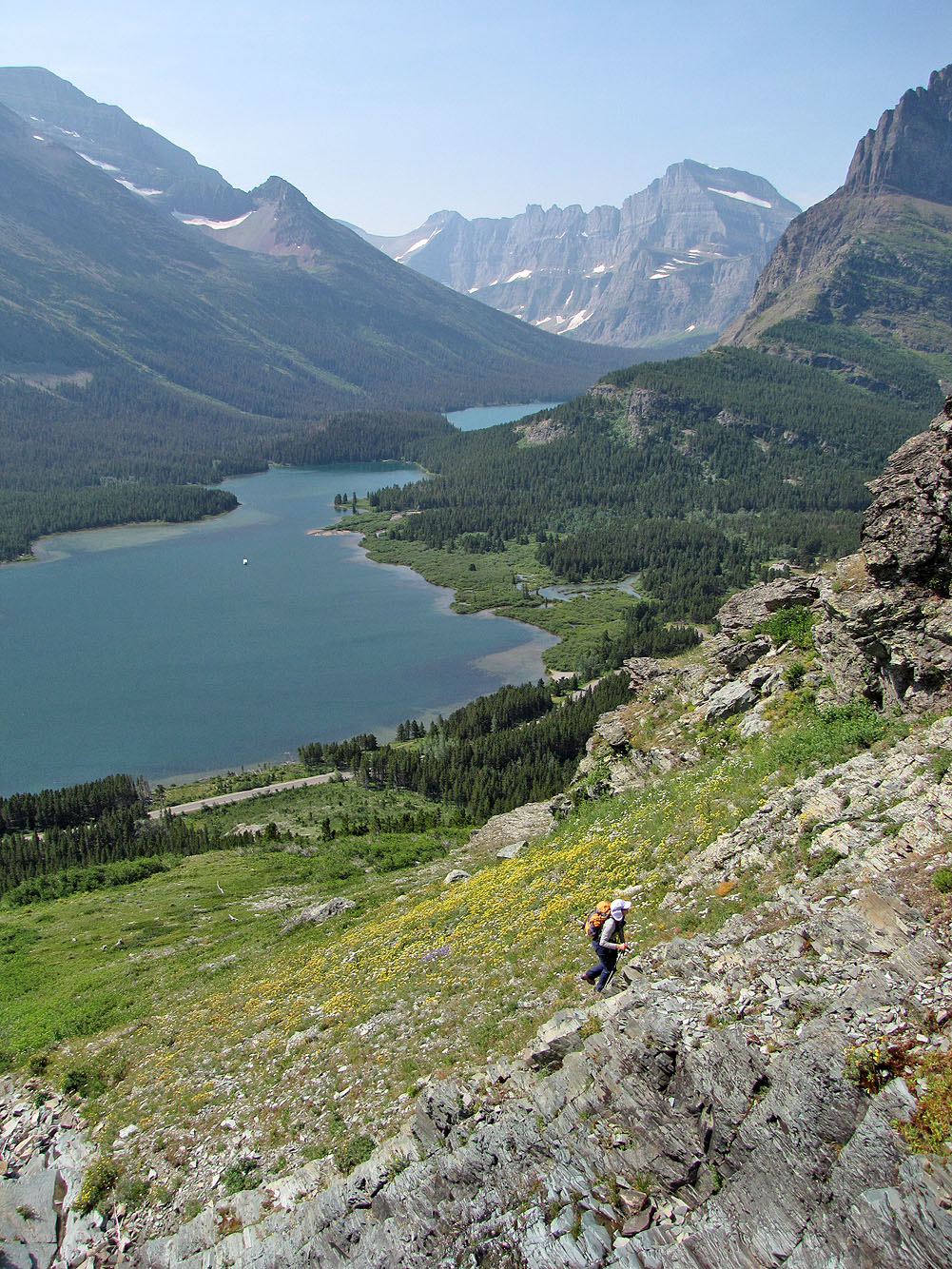
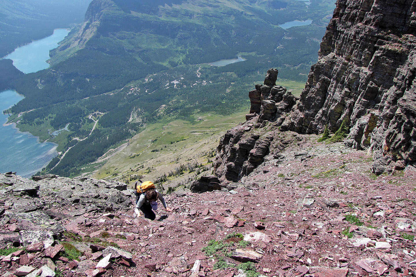
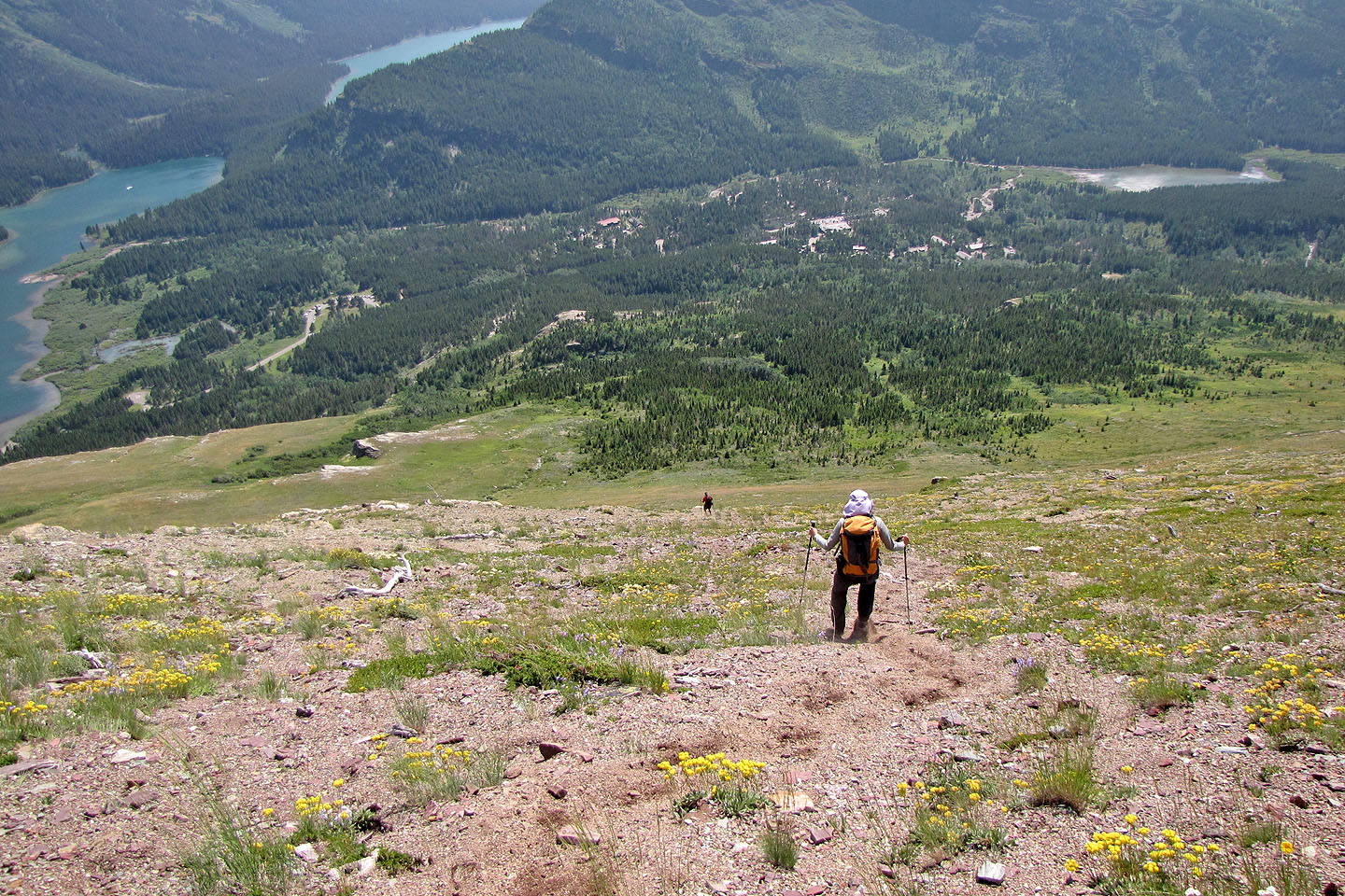
Swiftcurrent Lake and Lake Josephine below
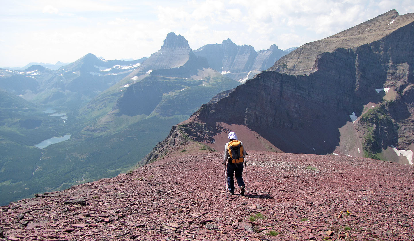
The summit came into view
Sonny pauses after we climbed above the cliff band
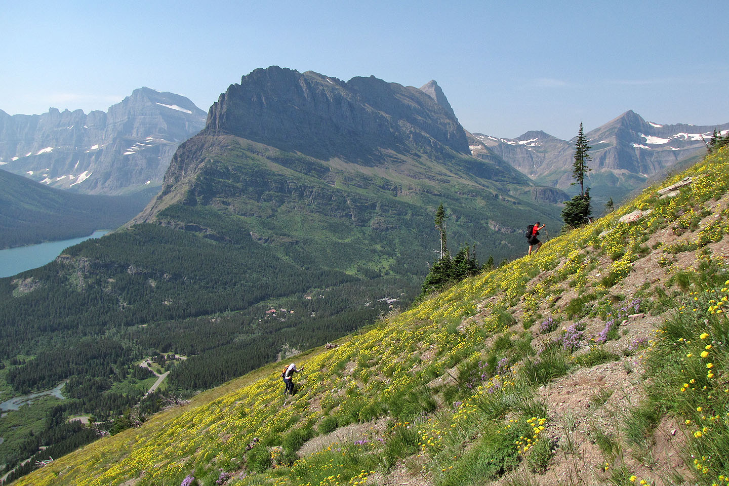
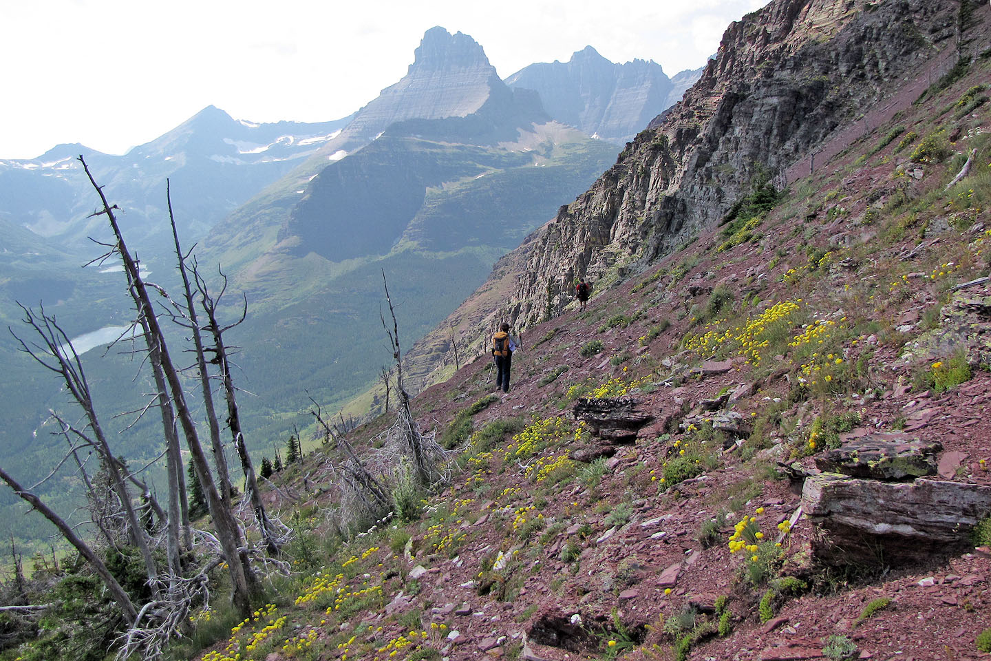
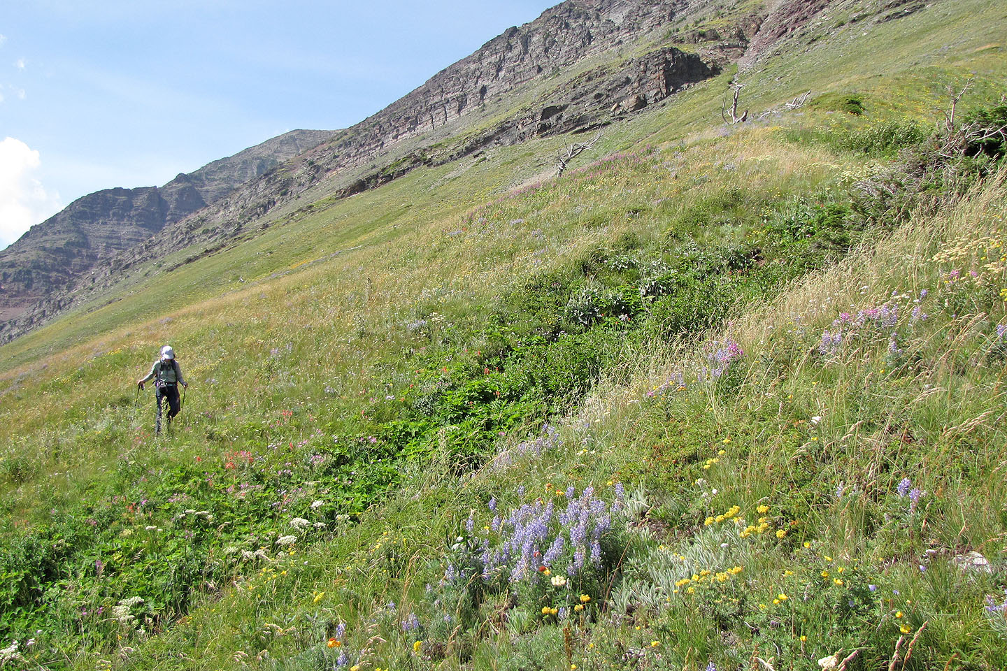
Yellow buckwheat (mouse over) blankets the slope
When we ran into Andrew and Mark Nugara the following morning in St Mary's, we learned that
while we were climbing Altyn,
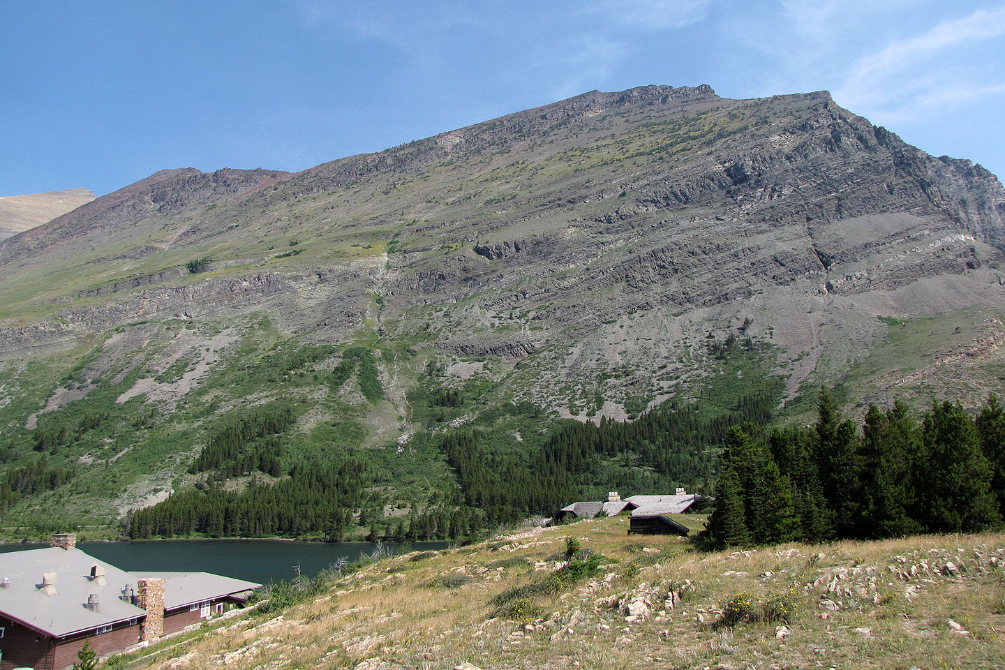
they were climbing Mount Wilbur (right, mouse over), ascending the east face seen here
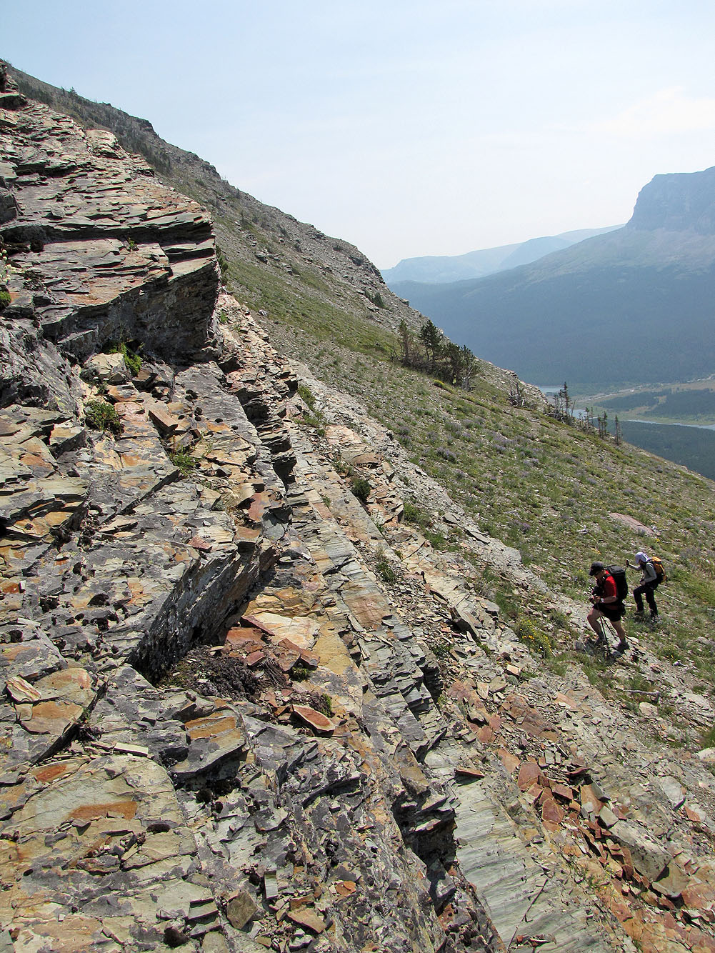
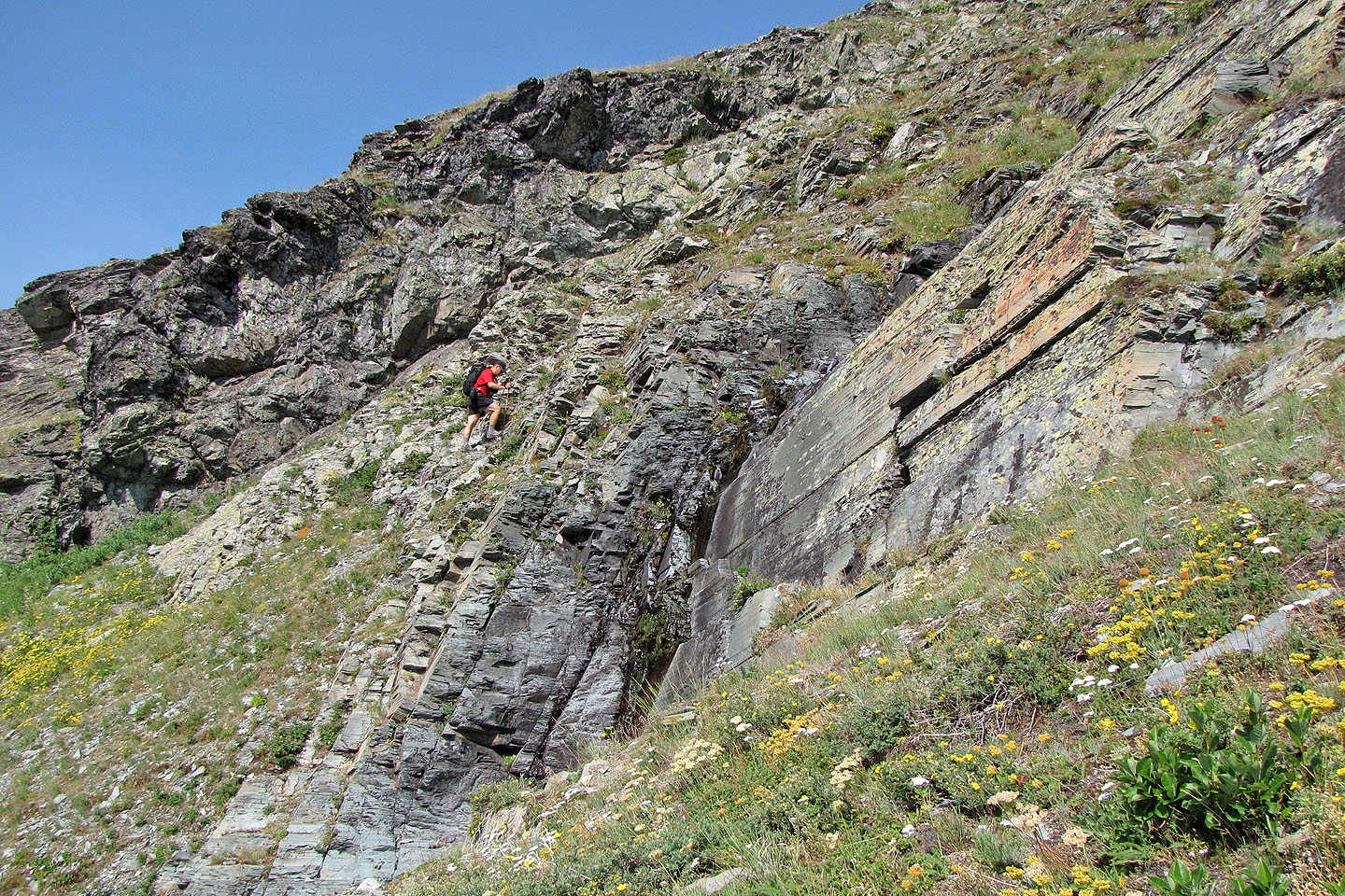
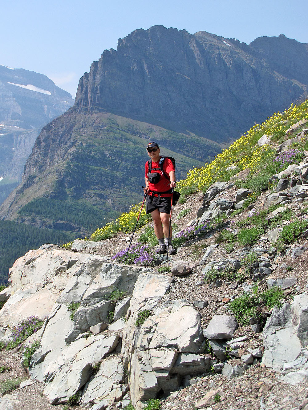
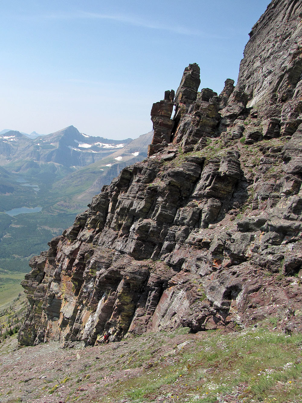
As we ascend, we encountered colorful rock
A rocky staircase aids our ascent as we headed to the bowl
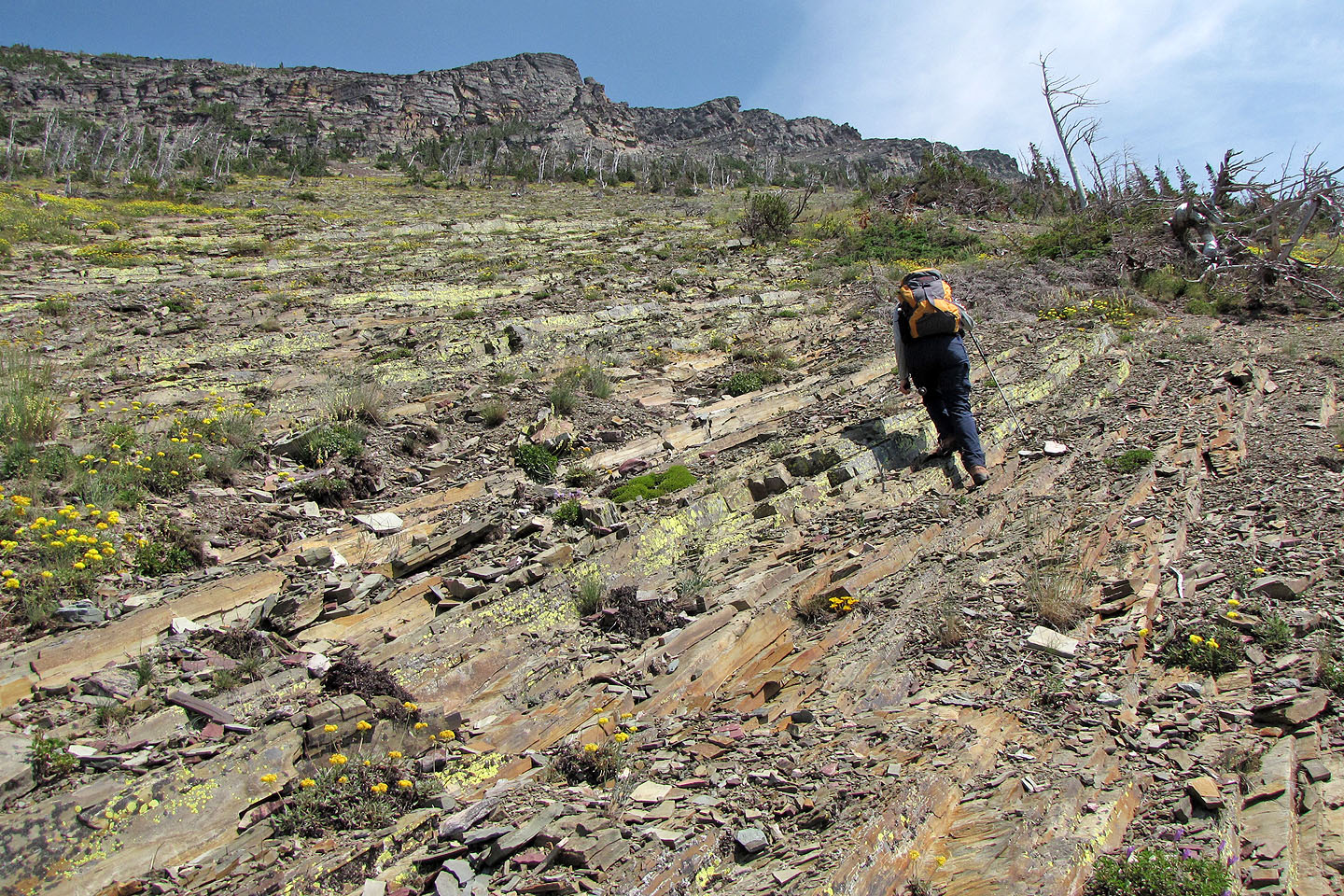
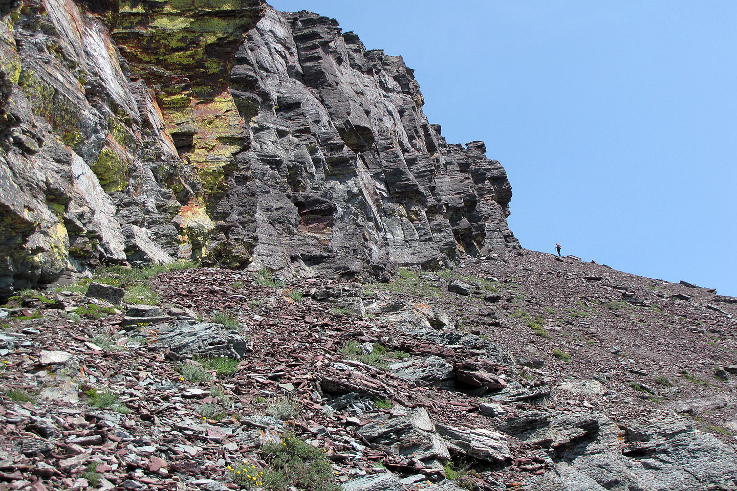
Higher up, we encountered scree. By keeping left, I encountered less scree than Dinah and Sonny.
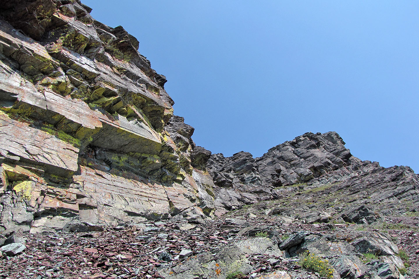
Cliffs below the summit
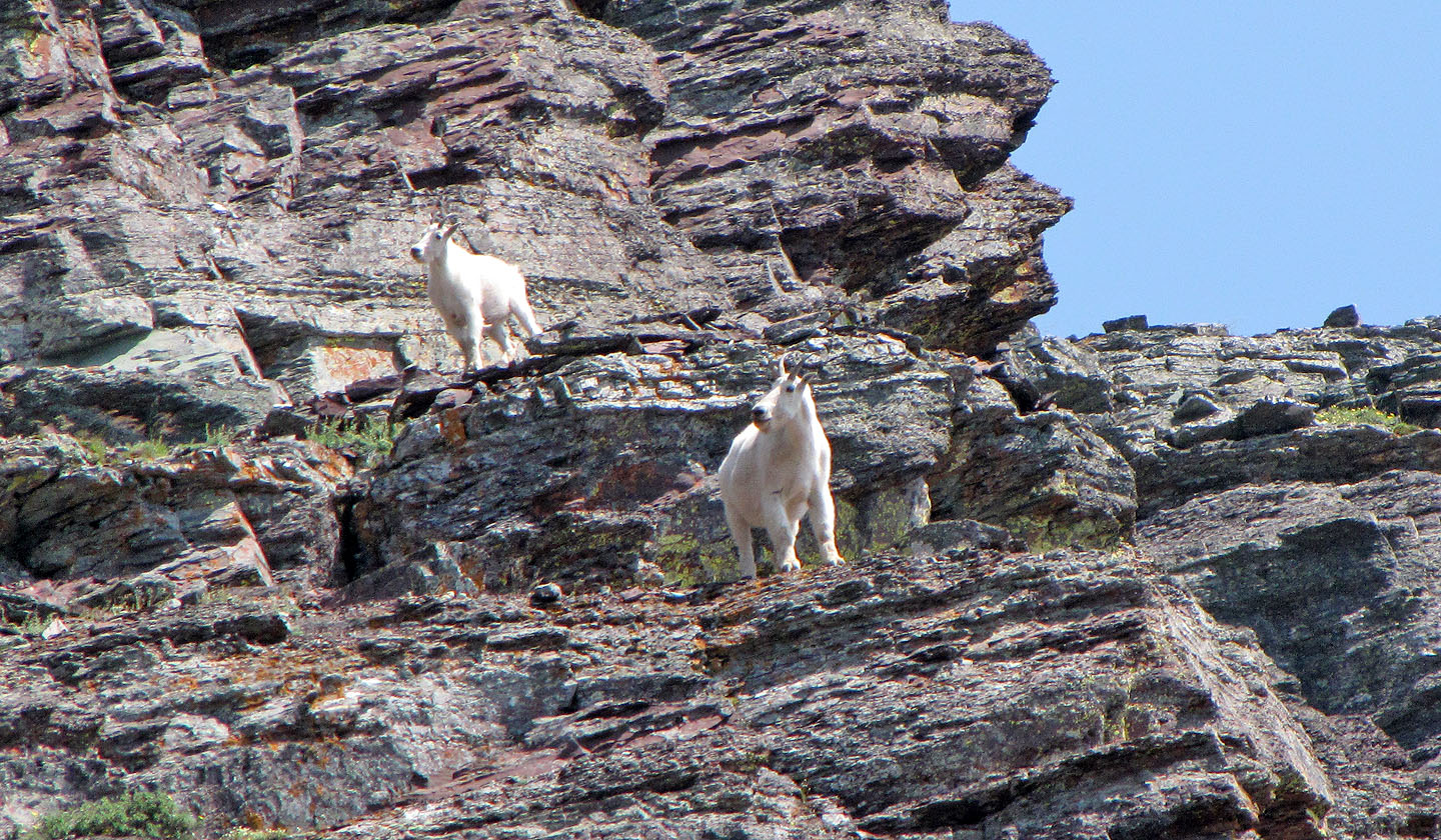
Mountain goats on the cliffs
Sonny makes his way along the cliff base
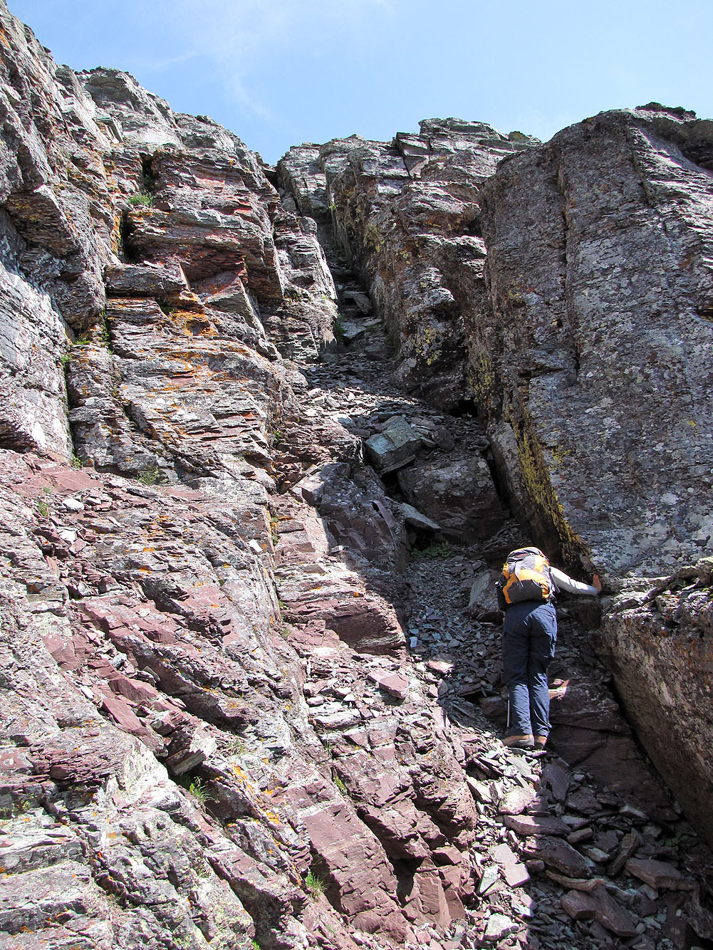
I went to inspect a chimney hidden on the left
Sonny scrambles up the chimney (mouse over for a close-up)
Dinah heads to the east end
Sonny reached the summit but I'm stymied for a way up the east end
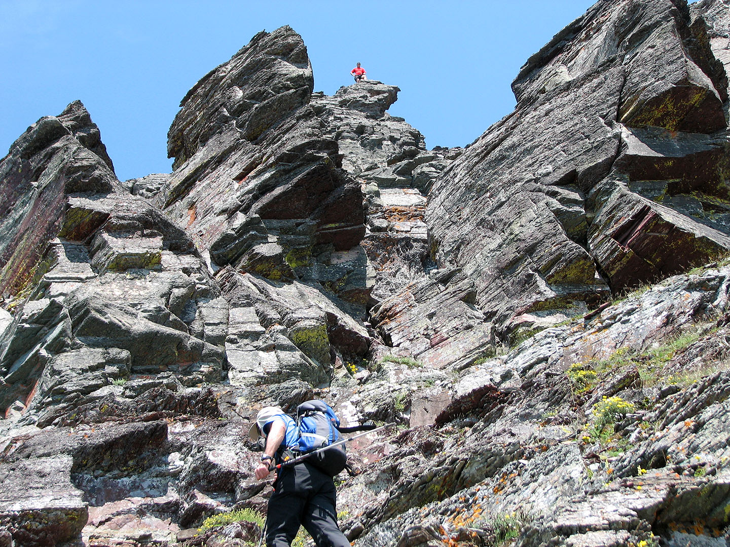
Dinah and I returned to the chimney, just behind the pinnacle above me
After scrambling up the chimney we ascended a gully partway before moving left onto a scree slope
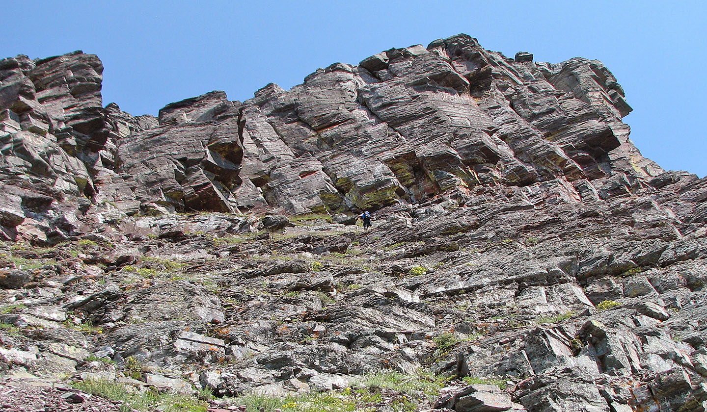
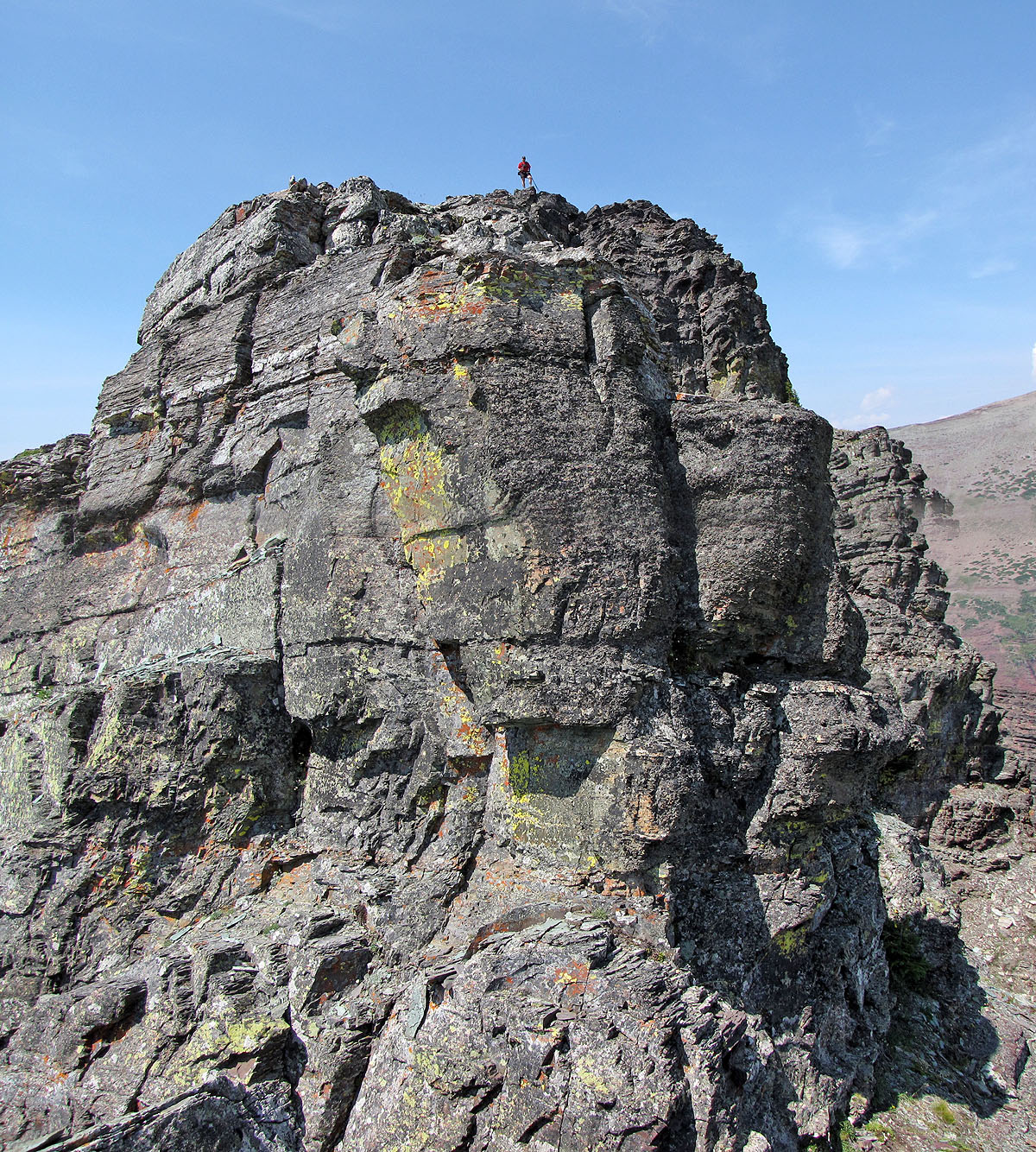
Almost at the summit
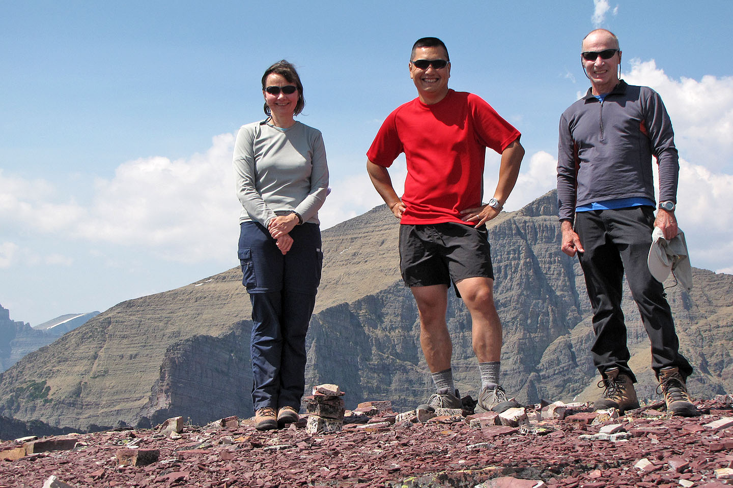
It was a warm day and we spent nearly an hour on top of Altyn Peak
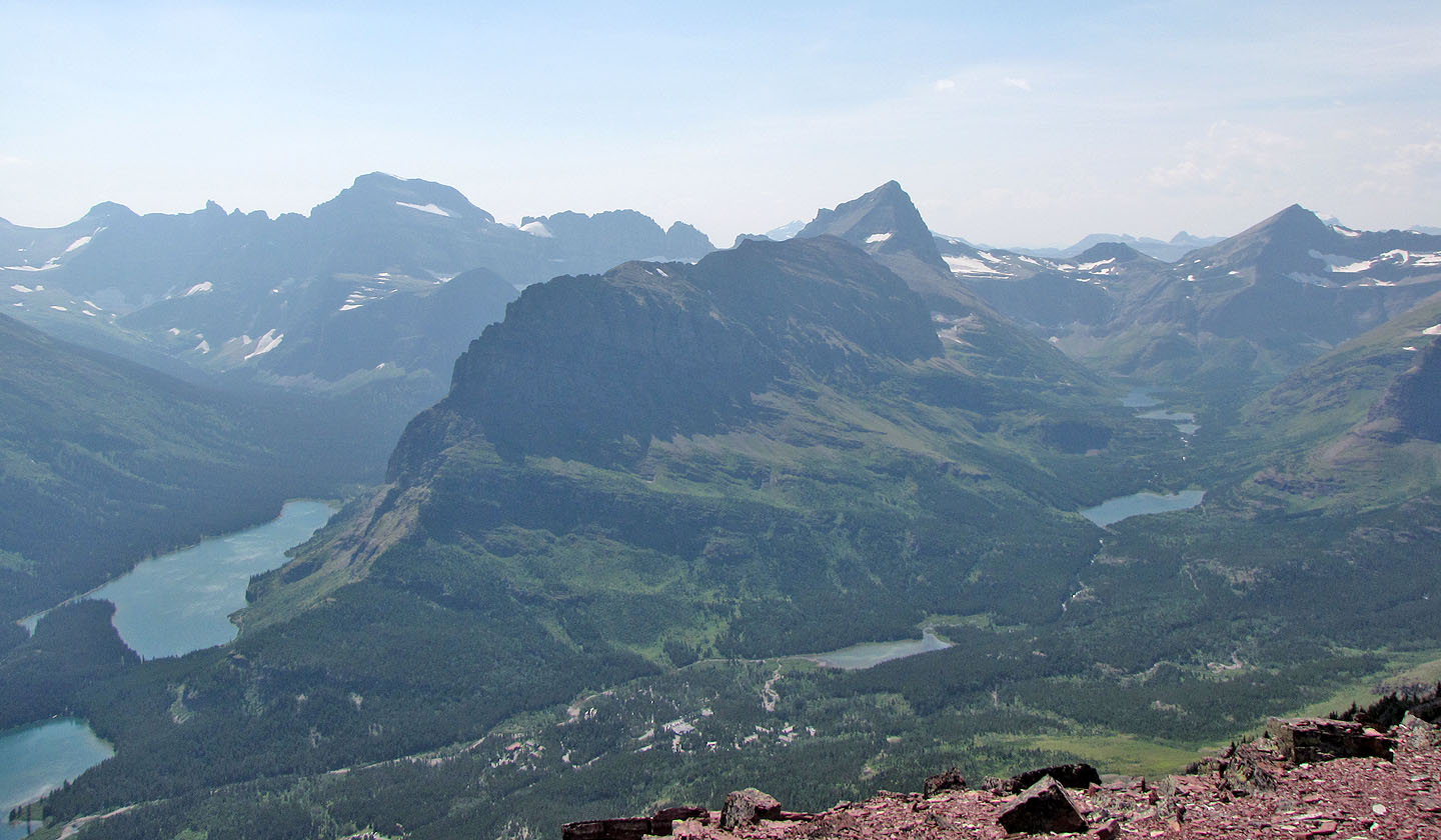
Mount Grinnell in the foreground
Going to the saddle. Mount Henkel on the right.
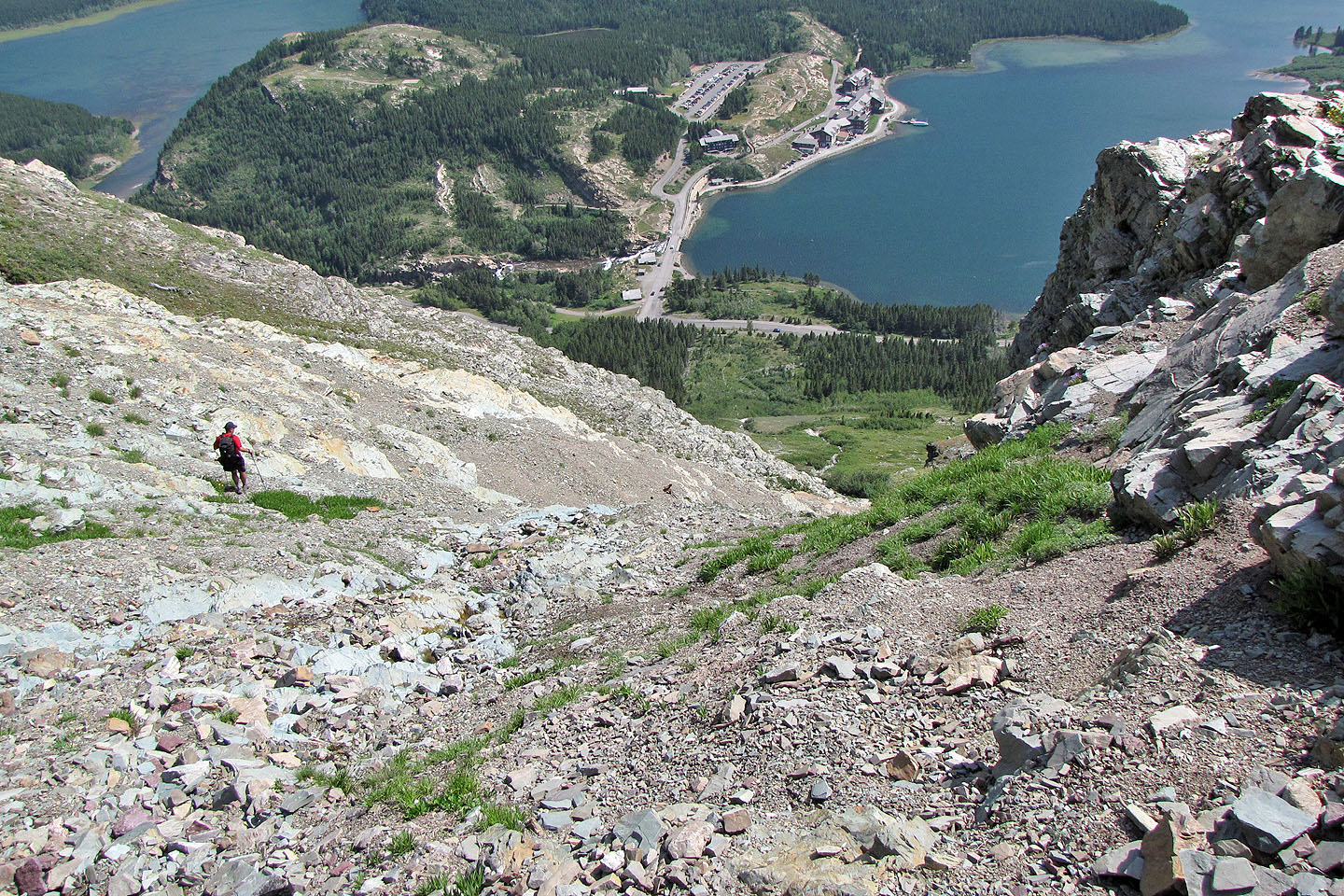
Below the saddle, we searched for a way down
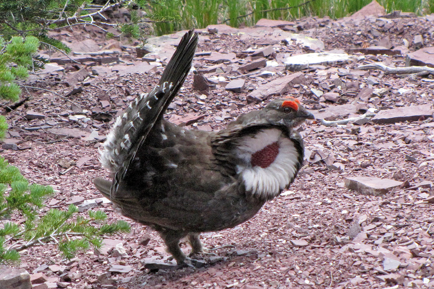
Spruce grouse on display
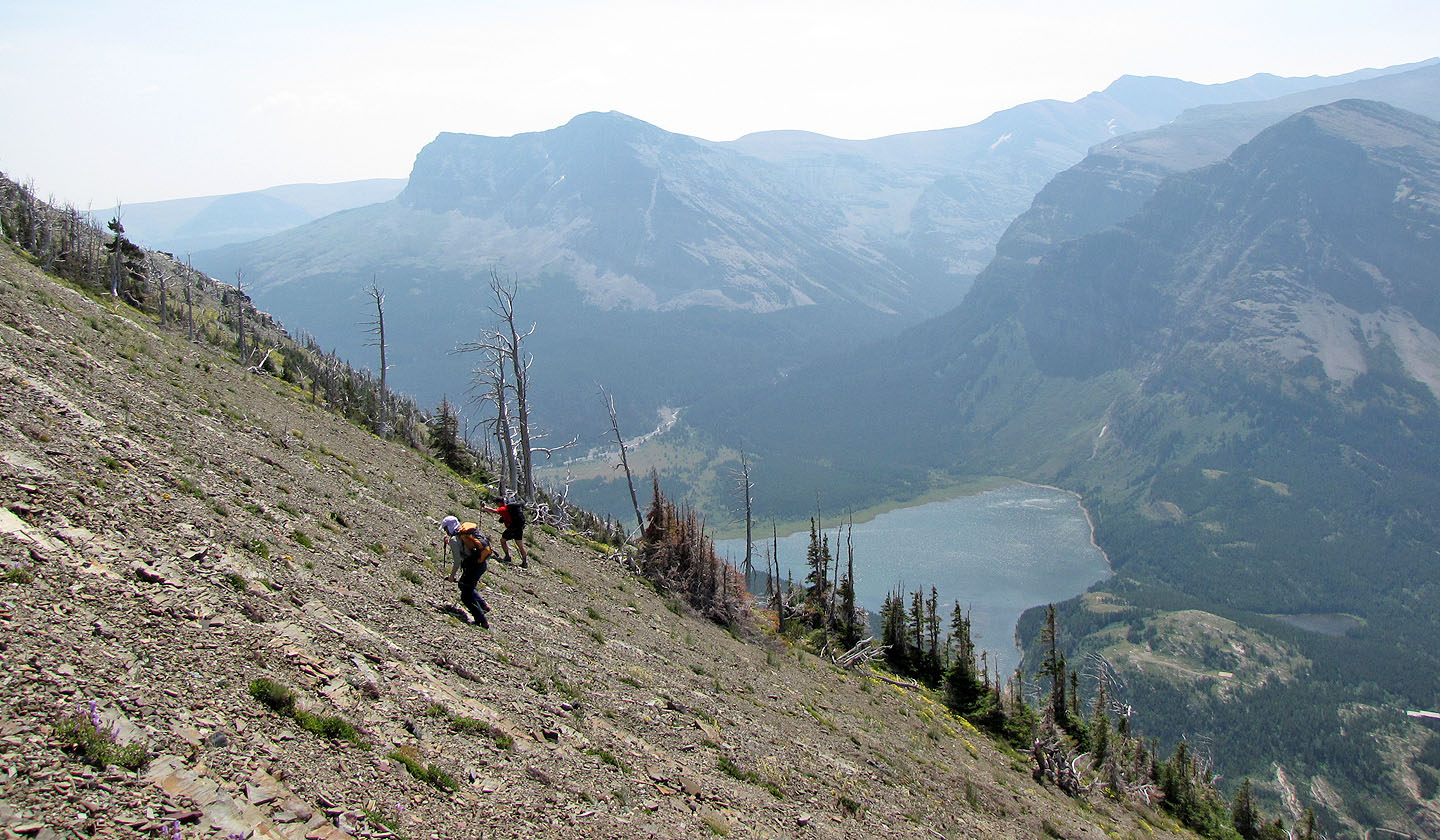
We eventually got around the cliffs to reach the open slope below
Traversing mid-slopes back to the drainage
Back at the drainage
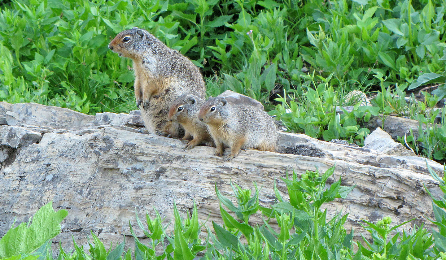
Columbian ground squirrels at Logan's Pass
Many Glaciers (3.4 mi, 7959 ft, 3031 ft)