bobspirko.ca | Home | Canada Trips | US Trips | Hiking | Snowshoeing | MAP | About
North Menan Butte
Idaho Falls, Idaho
September 15, 2022
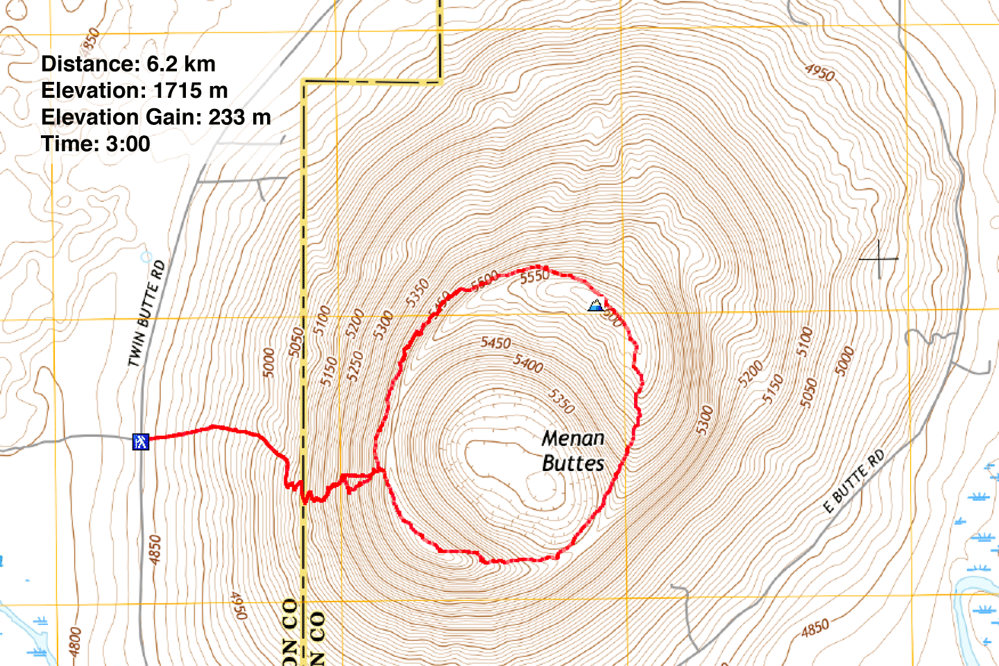
Distance: 6.2 km (3.9 mi)
Cumulative Elevation Gain: 292 m (958 ft)
North Menan Butte is a great little hike if you're short on time, and we were that. With a risk of a severe thunderstorm in the afternoon, Dinah and I settled on a morning trip, and Menan Butte is just 30 minutes north of Idaho Falls where we were staying.
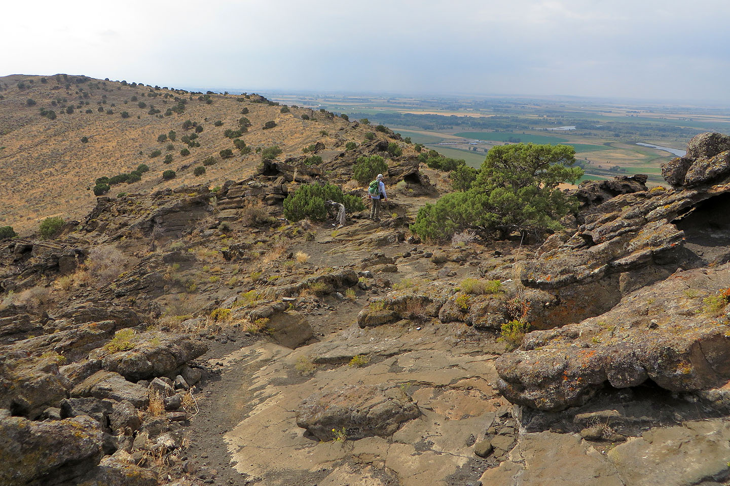
The Menan Buttes are two of the world's largest tuff volcanoes – volcanoes formed when magma boils up through groundwater. Of the two, the North Menan Butte is higher and bears an interpretive trail. Not only does the trail reach the rim, but it also circles the crater.
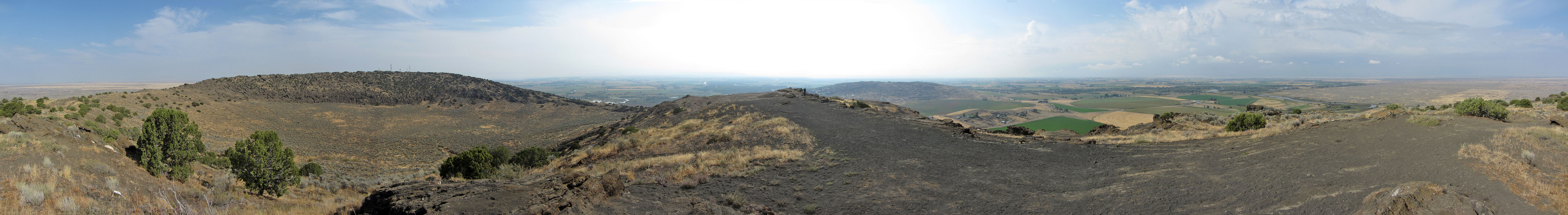
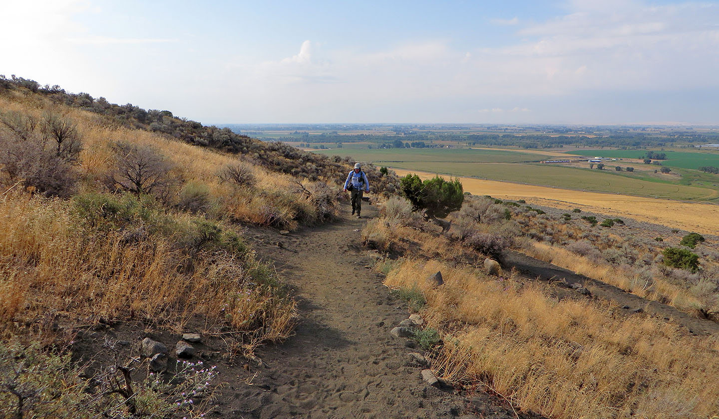
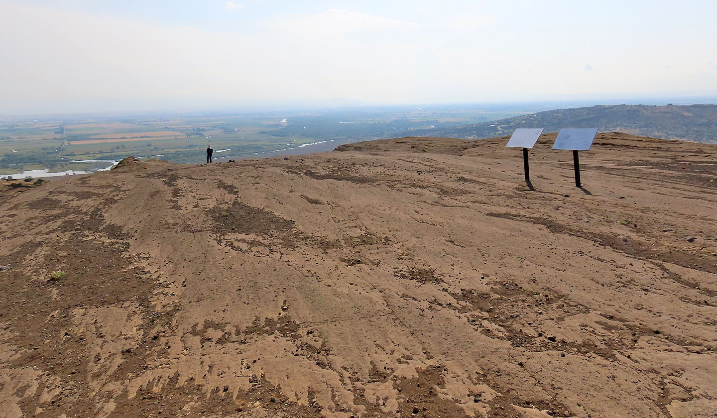
From the parking lot, we started up the broad, sandy trail. A few switchbacks ease the short climb to the rim. Hiking the rim counterclockwise, we soon reached the south summit. I took a panorama here knowing it would be better than on the higher north summit where several communications towers mar the scene.
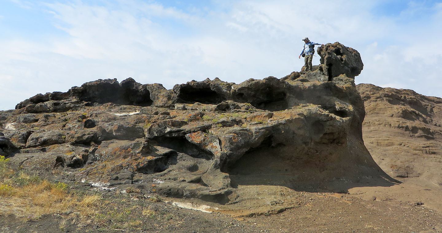
Continuing down along the rim, we were attracted to several unusual rock formations. We took our time poking around before proceeding to the north summit. Because of buildings and towers, the north summit was the least interesting site on the rim, so we didn't linger. But the next rim section was absorbing. We appreciated the misshapen rocks we passed, and despite the haze, we could make out St. Anthony Sand Dunes which we had visited the day before. But as we hiked, clouds darkened the sky. So we finished our trip and returned to our car. It was good timing. After we started driving back to Idaho Falls, it began raining.
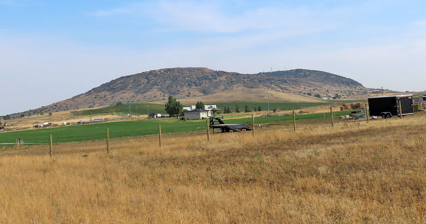
North Menan Butte from the highway
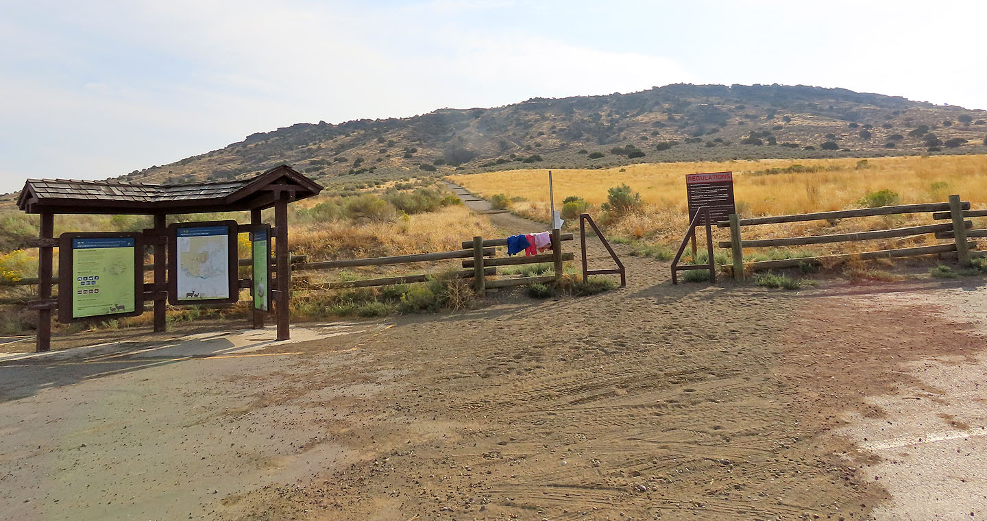
The trailhead
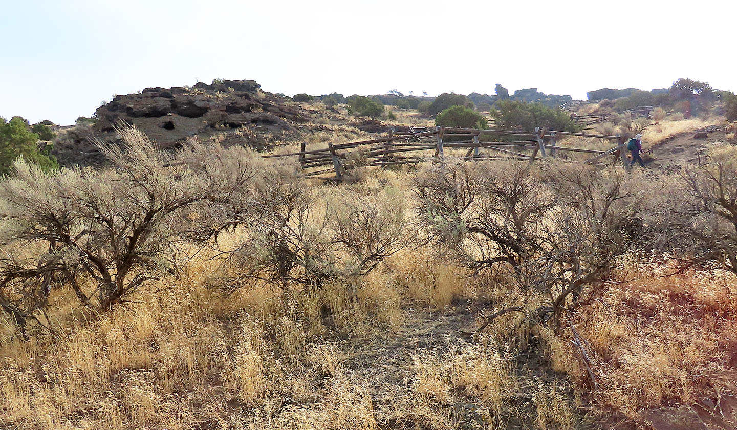
Behind there is only farmland
Hiking up the trail. Dinah can be seen in the top right.
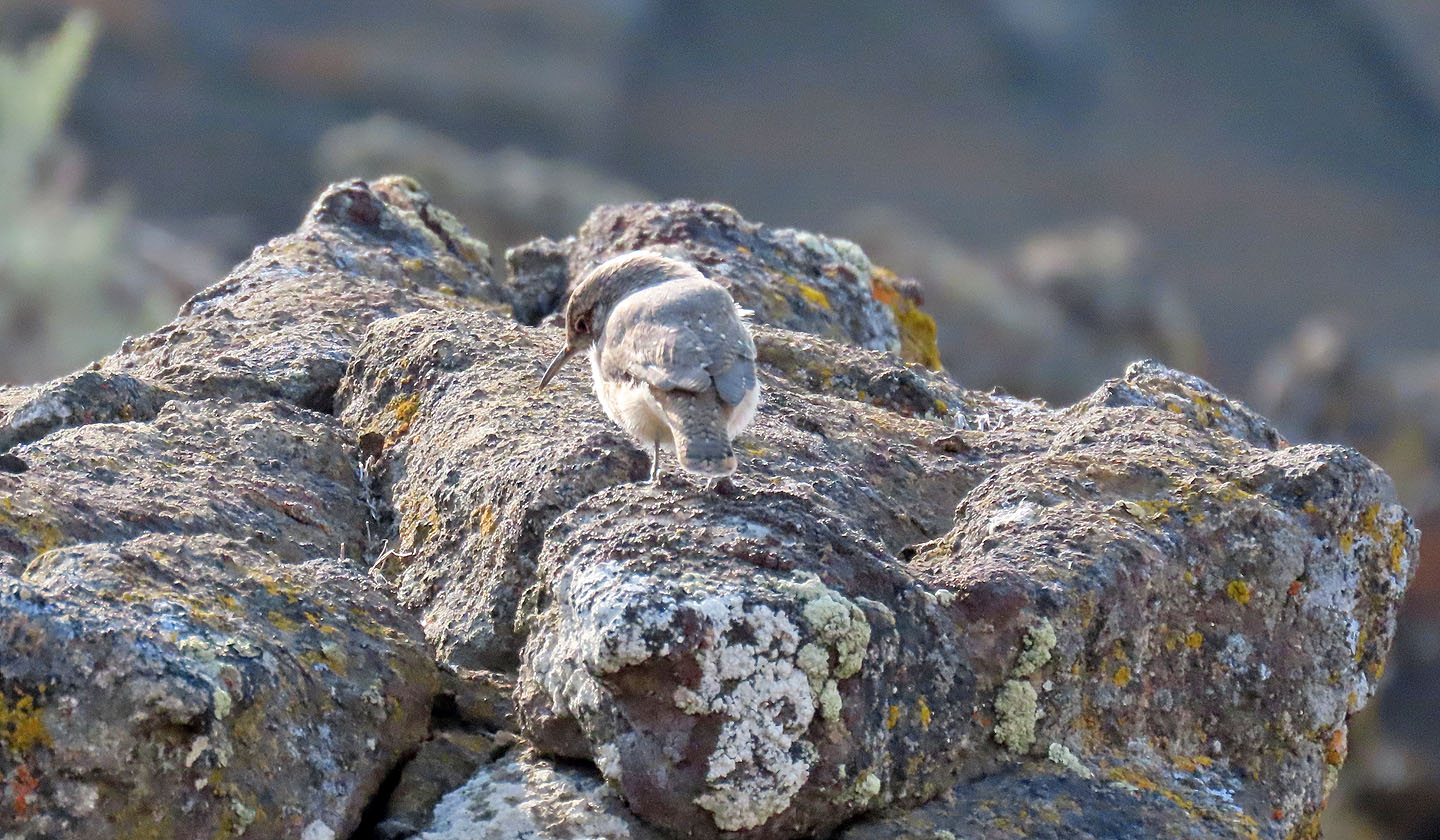
A wren perches on rocks
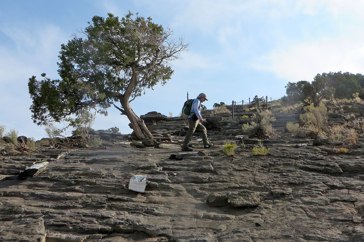
Ahead, a chain guardrail aids the ascent on steep slabs
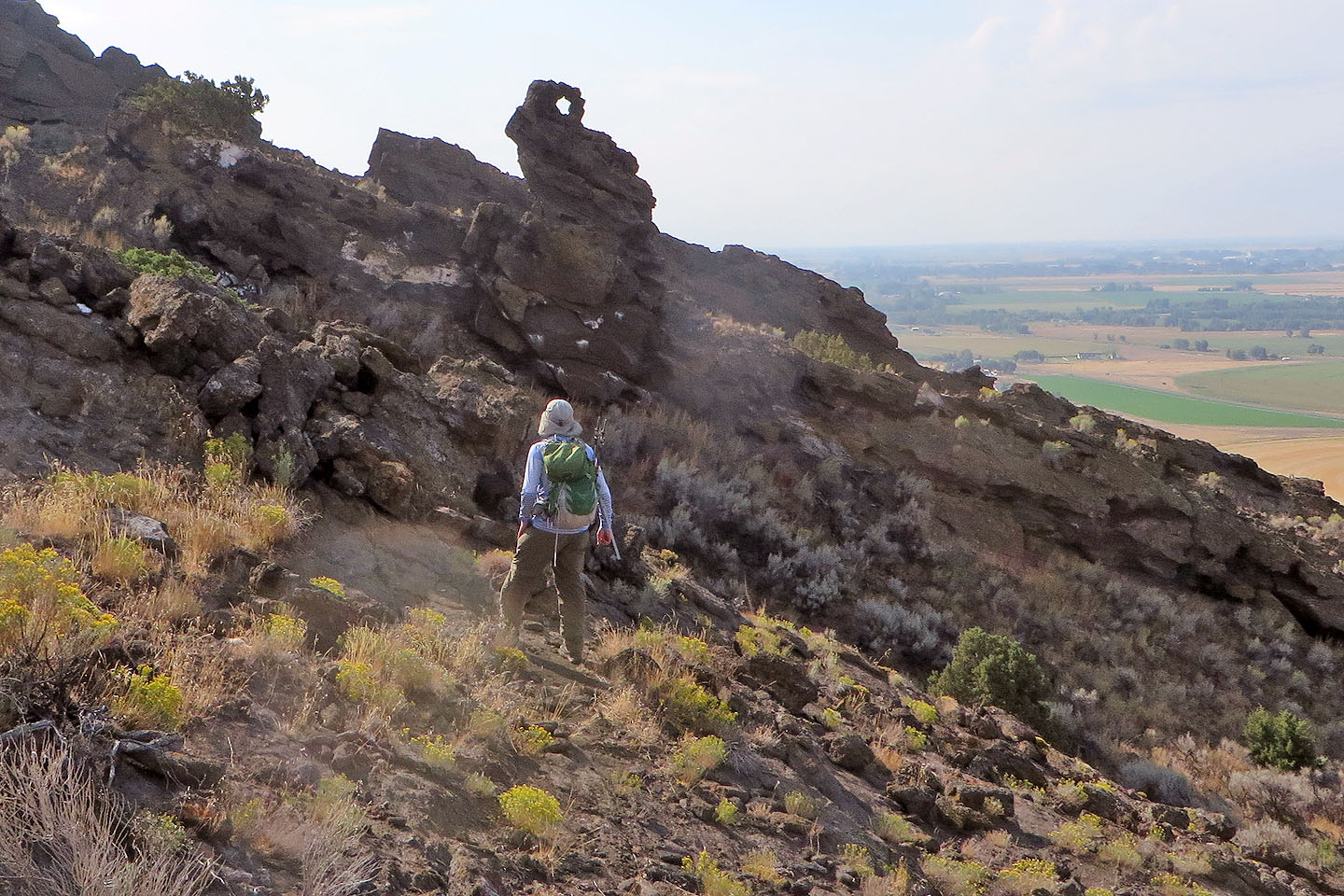
A side trail leads to a pinnacle with a tiny window
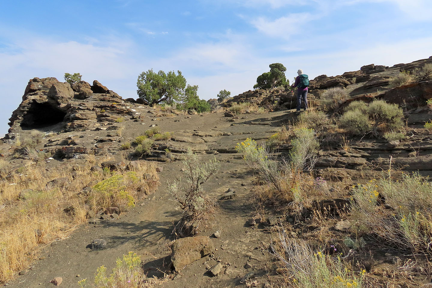
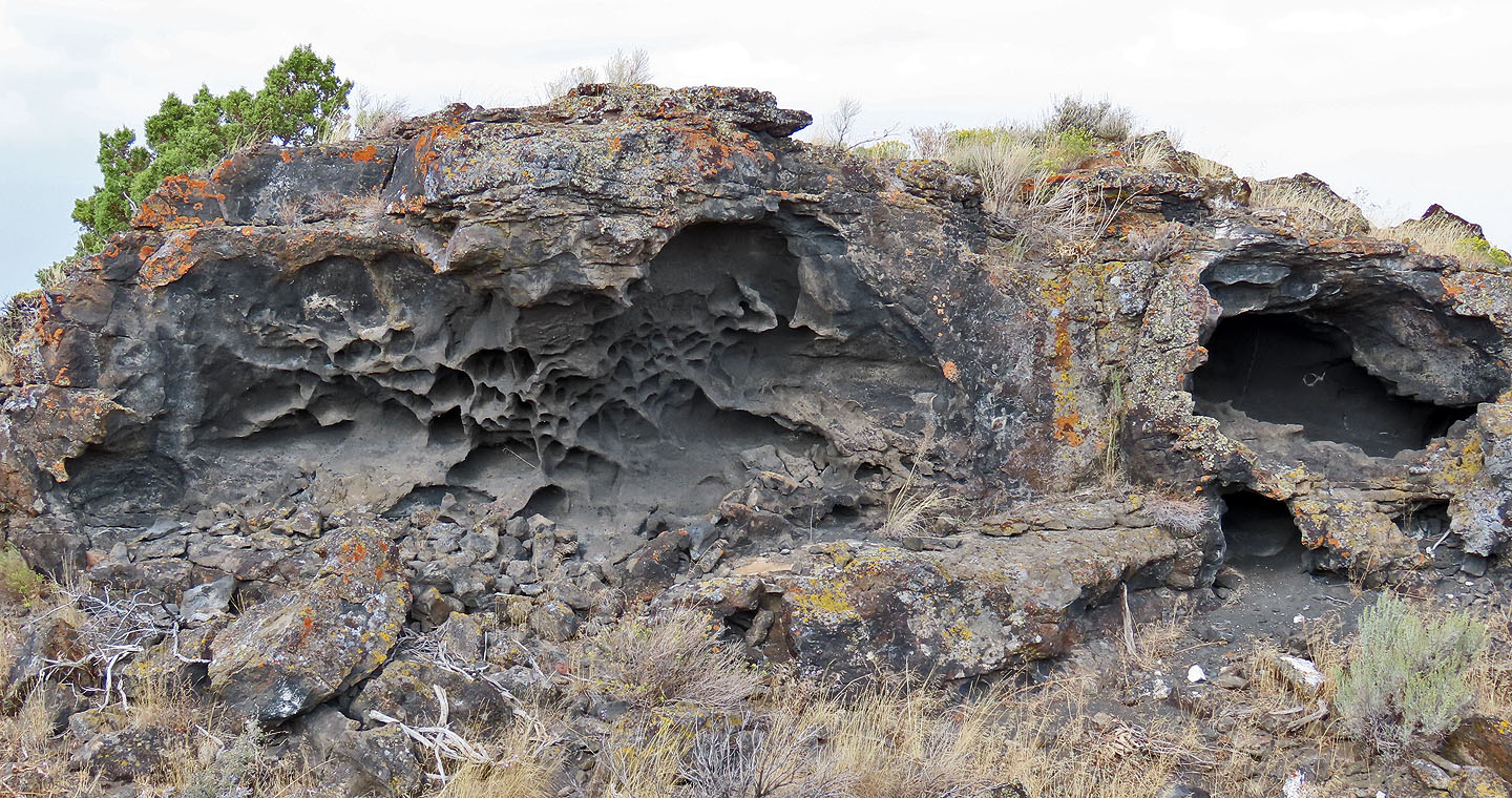
Just before the rim, we passed a small cave
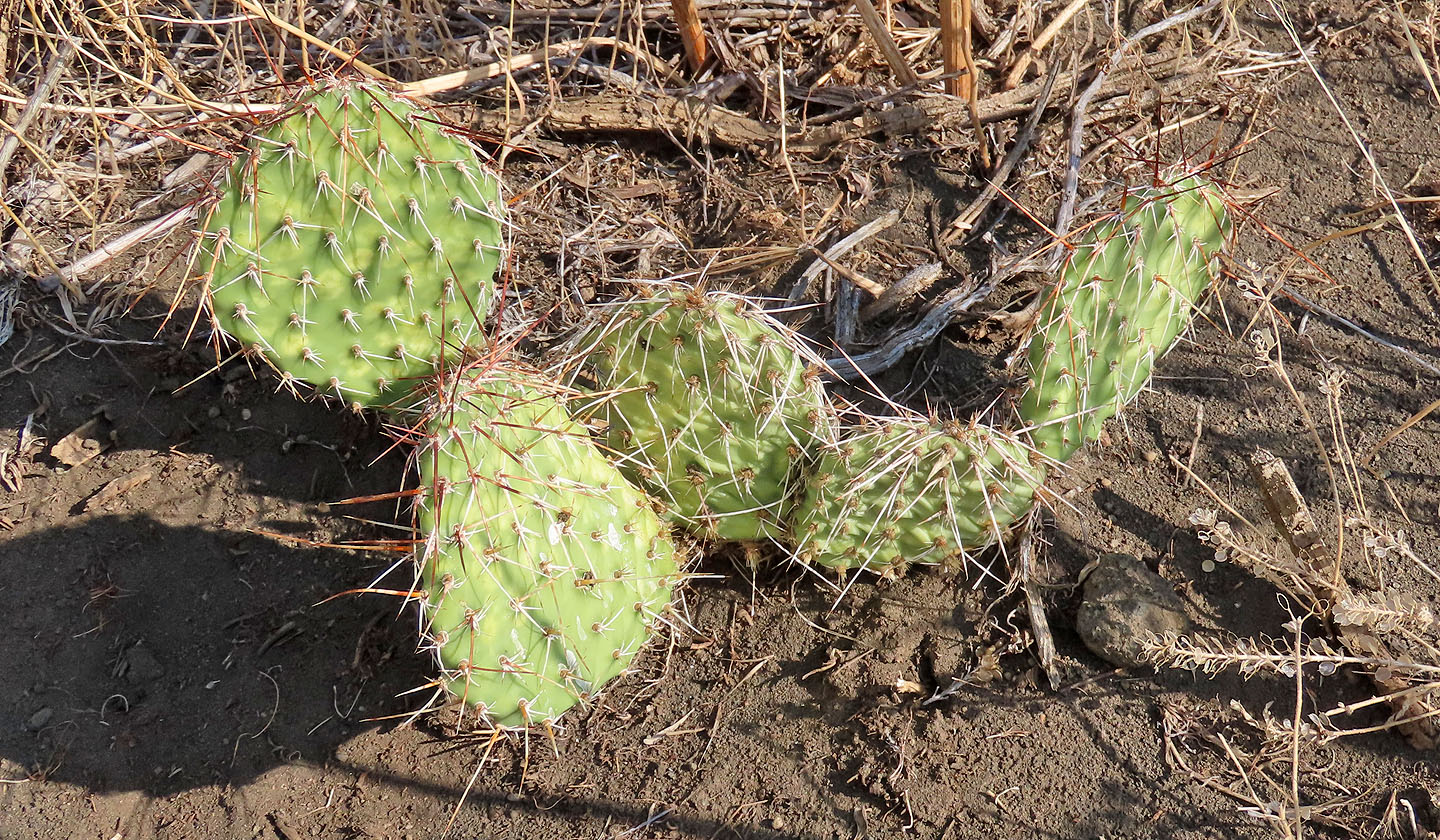
We were surprised to see cacti thriving here
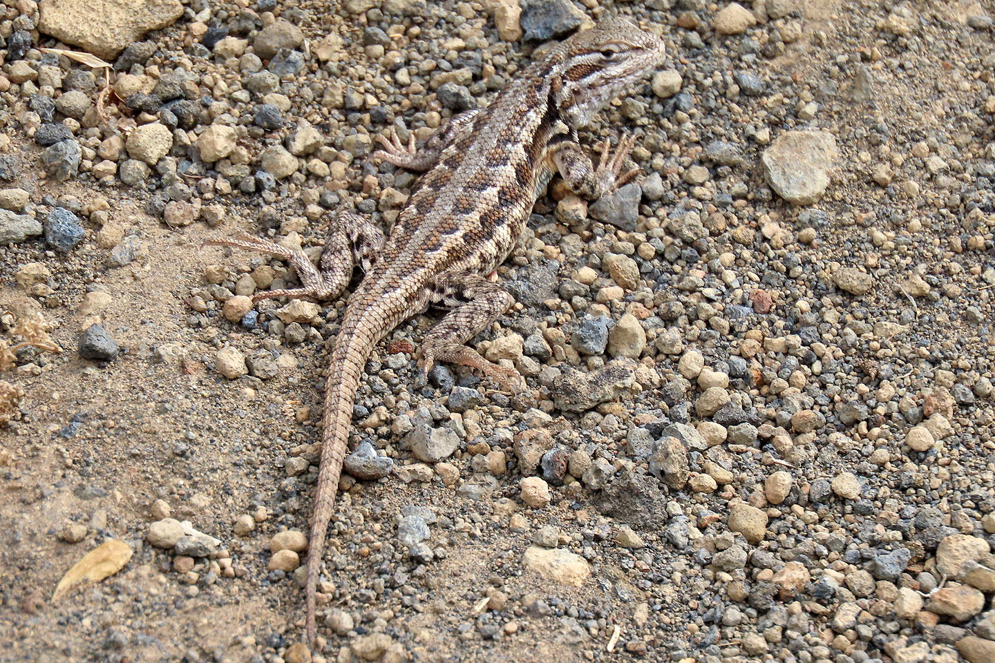
Small lizards scurried about. Horned lizards are here too, but we saw none.
Heading to the south summit
On a plateau near the top, signs point to xenoliths, rocks imbedded in rock (mouse over to view)
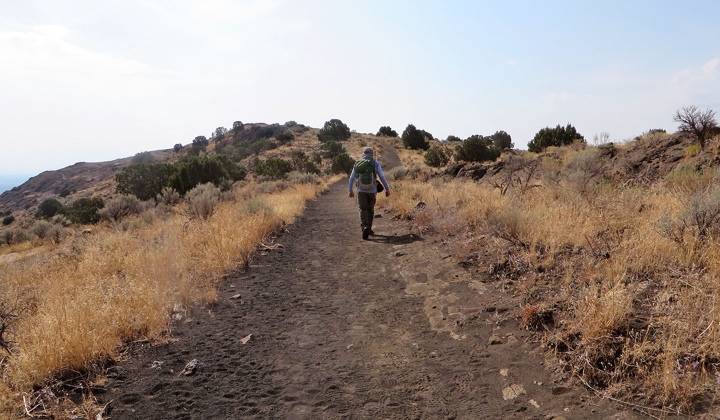
Continuing down
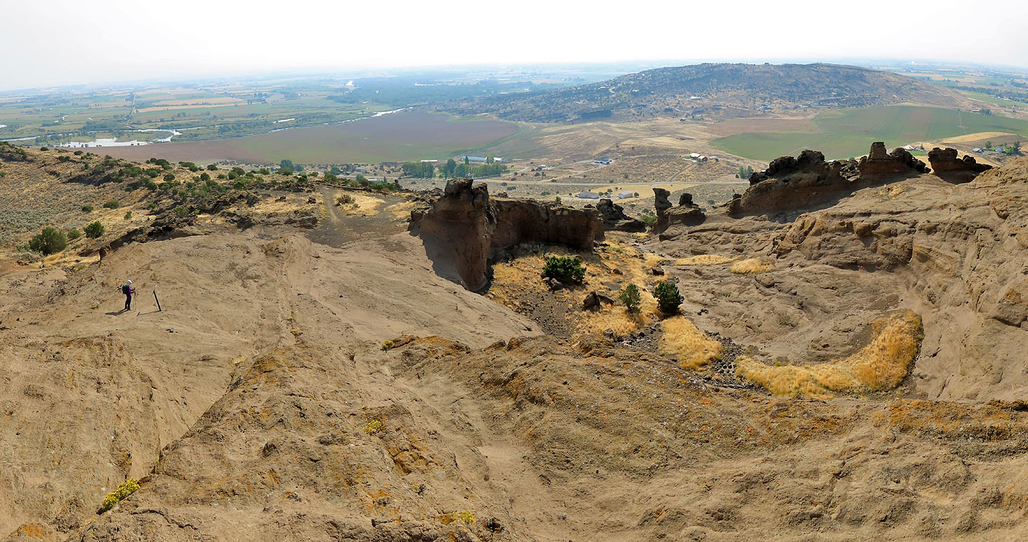
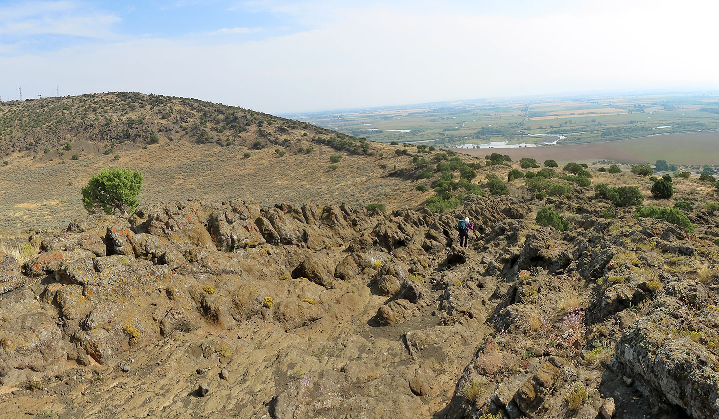
We took in the striking rock formations. South Menan Butte in the background.
I stopped to check a rock formation
The trail meanders down through rocks
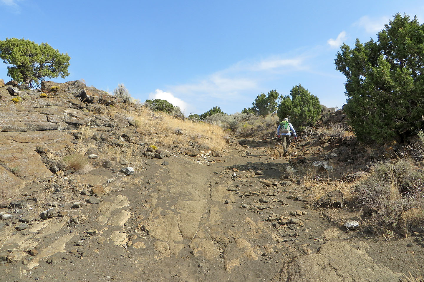
After the rocks, the hike to the summit was relatively featureless
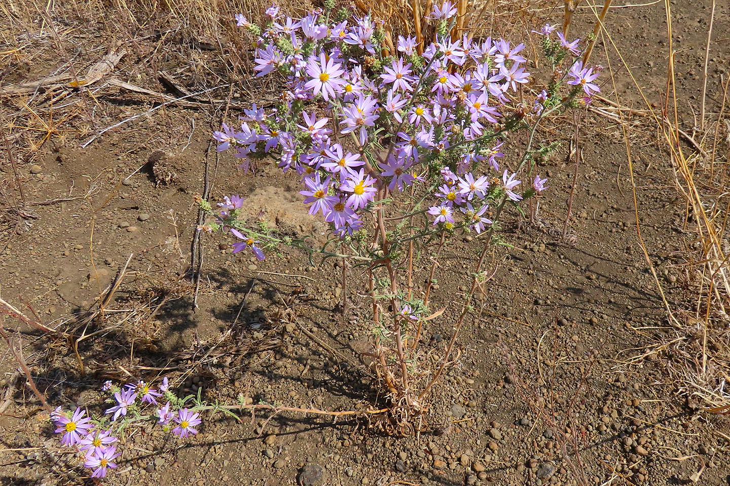
But these asters stood out
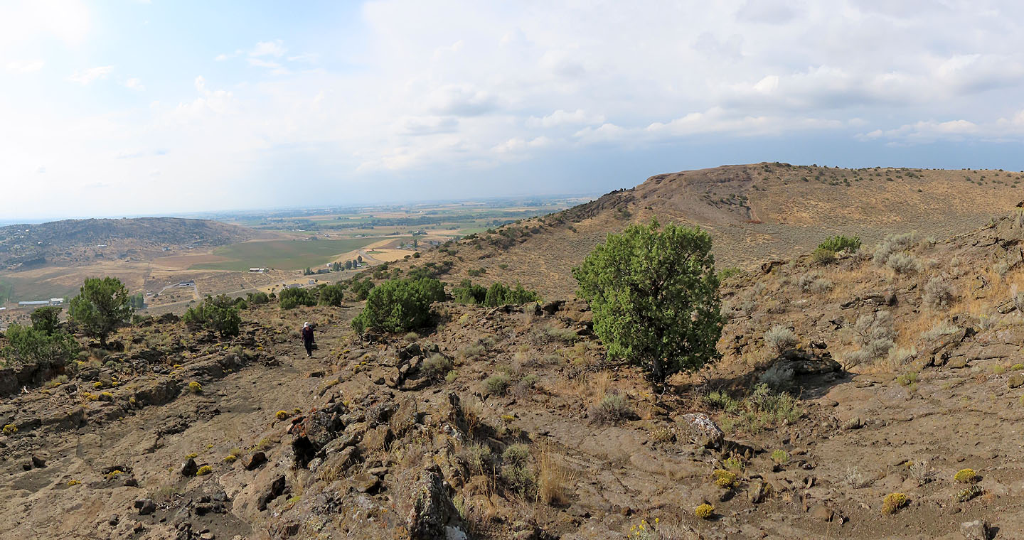
Looking back at the south summit
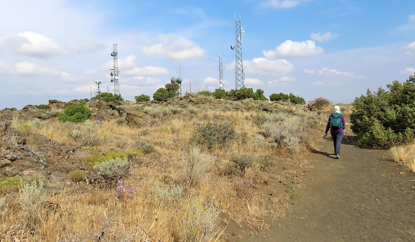
Communication towers spoil the top
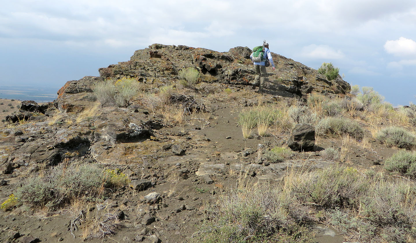
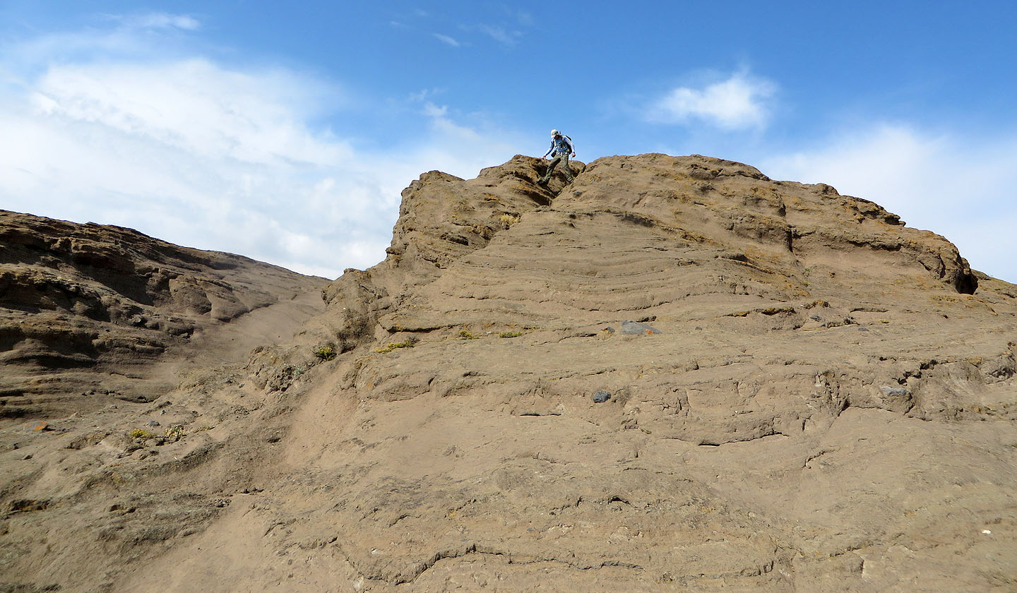
The summit is a block of rock
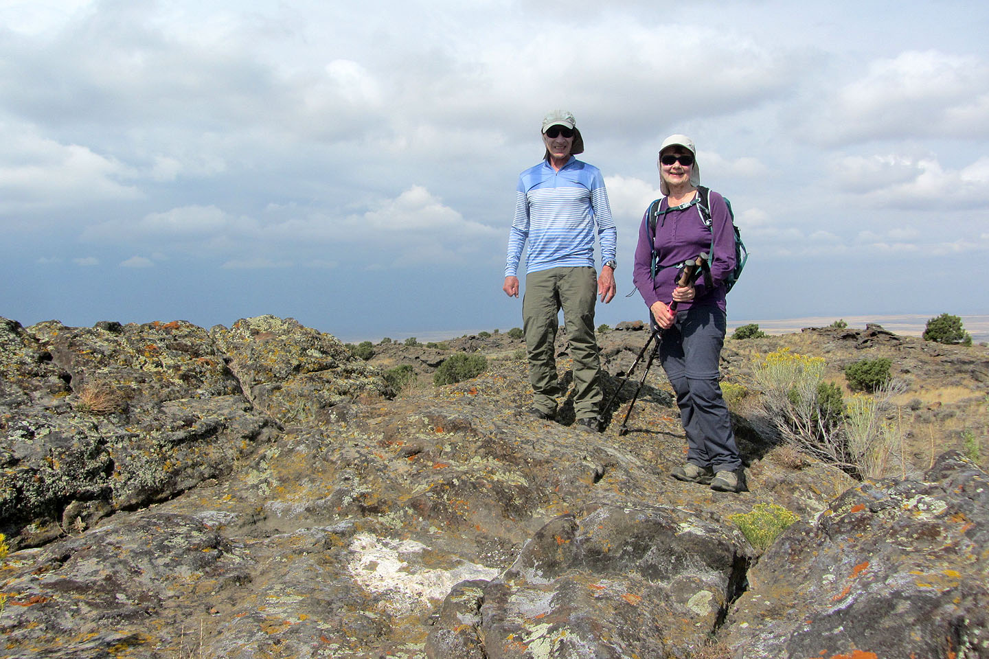
Standing on the summit
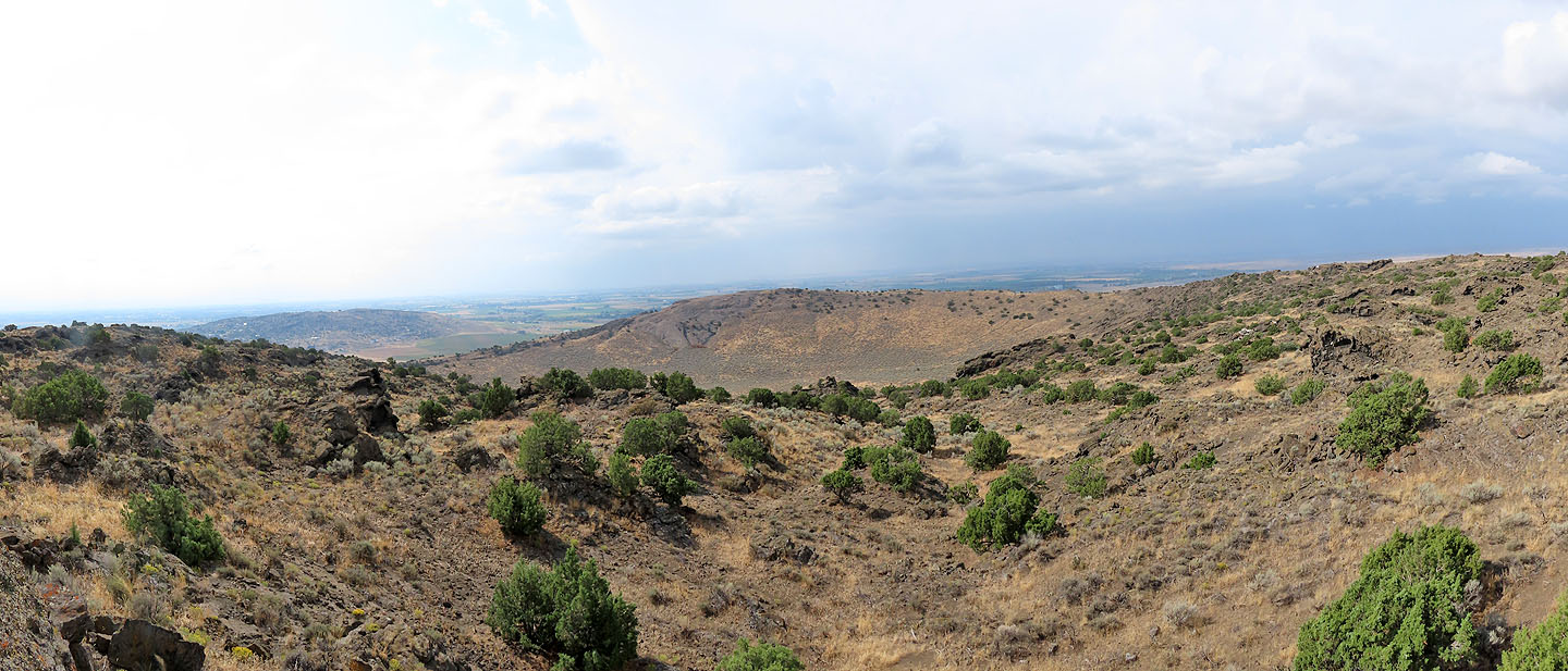
Looking across the crater from the summit
Continuing down, the rim held more surprises, like this rock
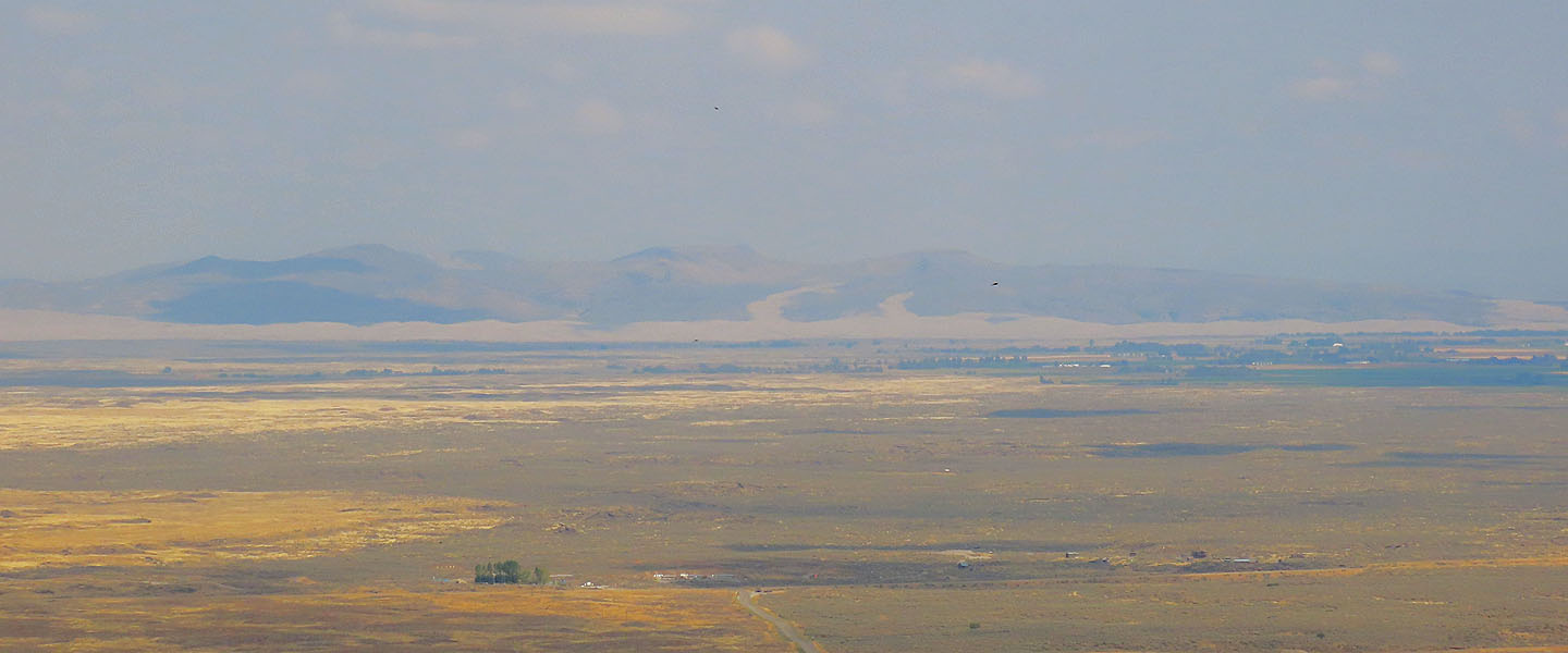
The haze made it difficult to see the low St. Anthony Dunes, the beige horizontal band in the middle
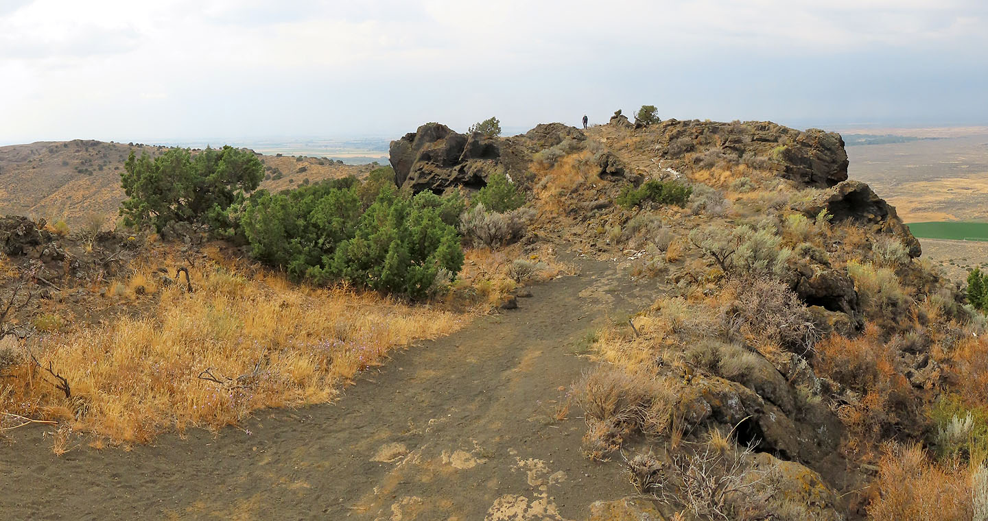
We continued to the other side of the crater. That's Dinah on the skyline.
We'll soon be back at the ascent trail
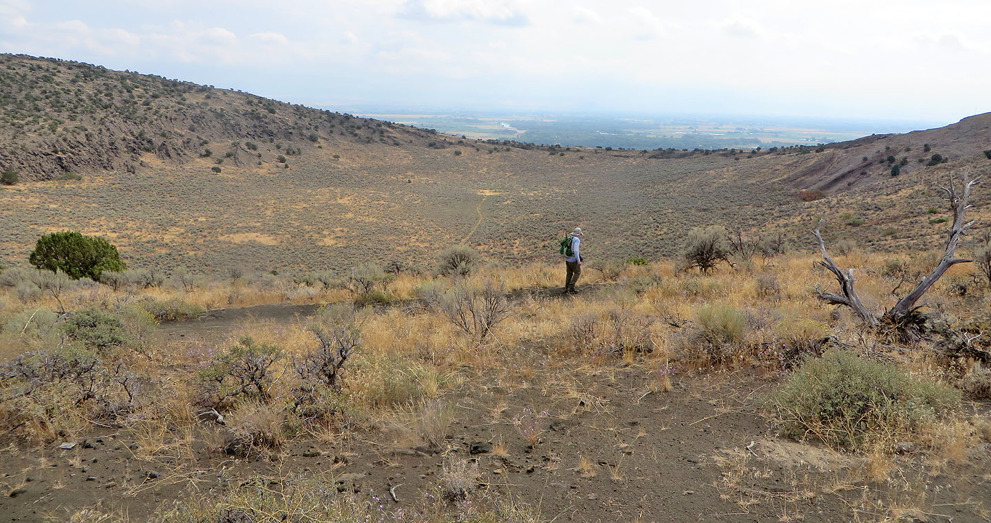
This is probably the best view of the crater bottom. Note the trail crossing it.
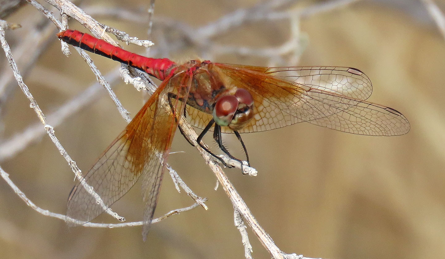
A Banded-winged Meadowhawk dragonfly takes a break from flying around
 Menan Buttes (3.9 mi, 5627 ft, 764 ft)