bobspirko.ca | Home | Canada Trips | US Trips | Hiking | Snowshoeing | MAP | About
Mount Audubon
Front Range, Colorado
August 28, 2006
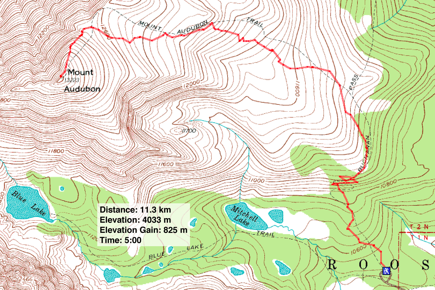
Distance: 11.3 km (7.0 mi)
Cumulative Elevation Gain: 825 m (2707 ft)
Mount Audubon has little to offer in the way of scenery, but Dinah and I hoped a short hike up in the thin air wouldn't tax us while we tried to acclimatize to the high elevation. We arrived in Colorado two days earlier after driving down from Calgary, Alberta.
We followed the obvious trail to the summit. Everything seemed fine until a few dozen metres before the summit when we both developed slight headaches, the onset of altitude sickness (after the hike, they became the worst headaches we ever experienced).
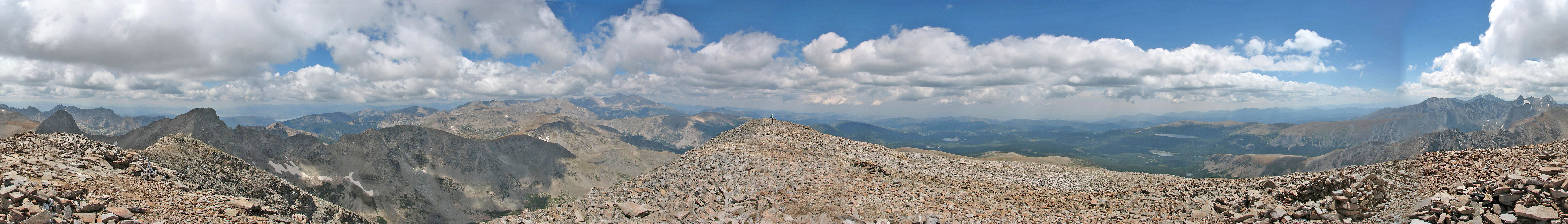
There was no summit cairn, just a few windbreaks built of rocks. On other summits in the area, we would find the same thing: windbreaks and no cairn. And like other summits in Colorado, we encountered other hikers. There was little solitude to be found in these mountains, something we're use to experiencing in the Canadian Rockies.
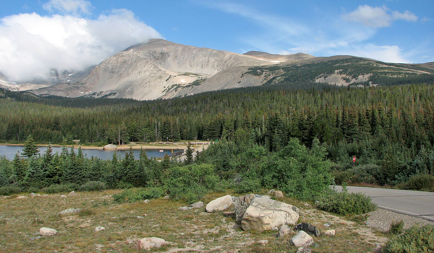
Mount Audubon rises above Brainard Lake
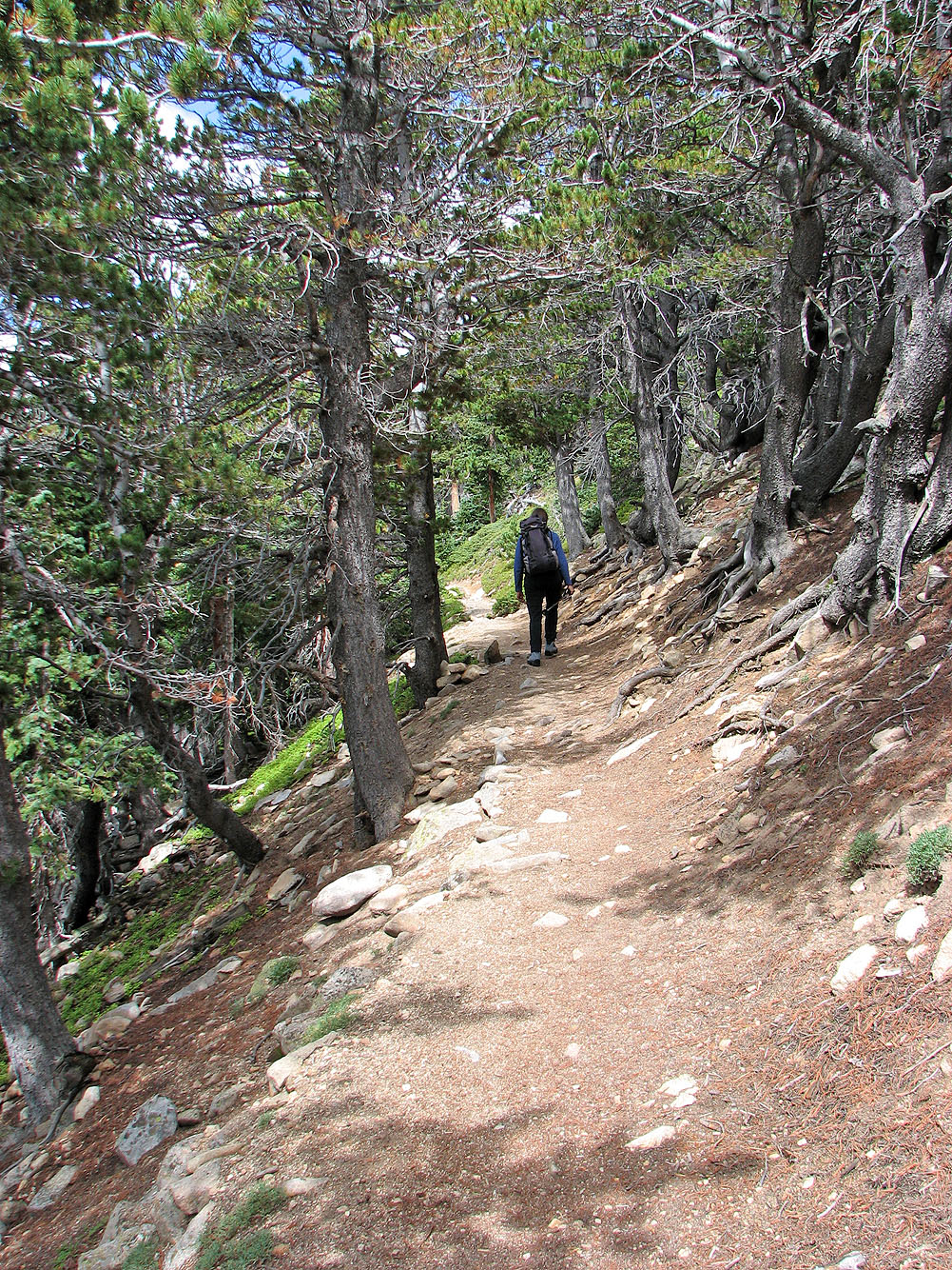
Hiking up the trail through the trees
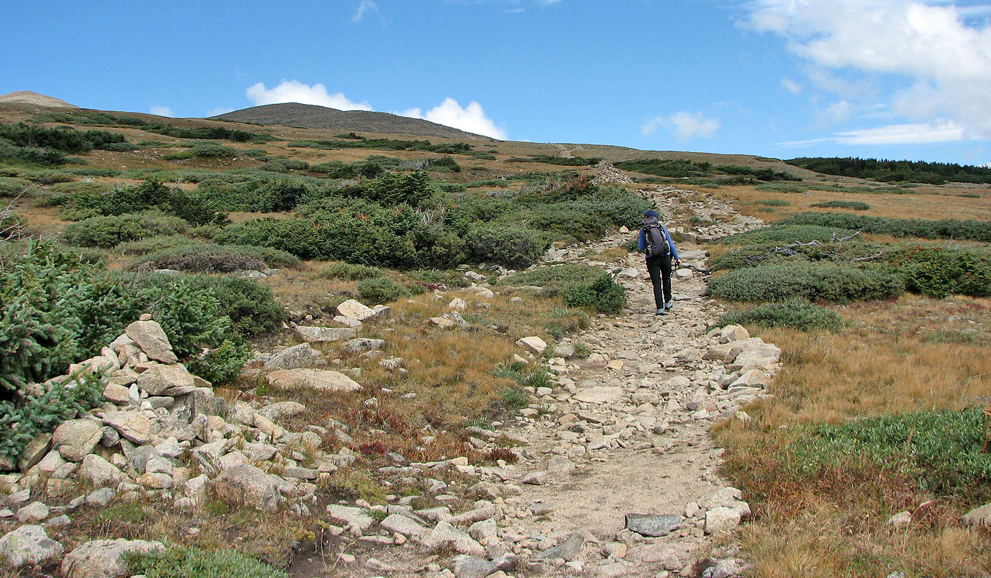
A broad but stony trail heads up the mountain
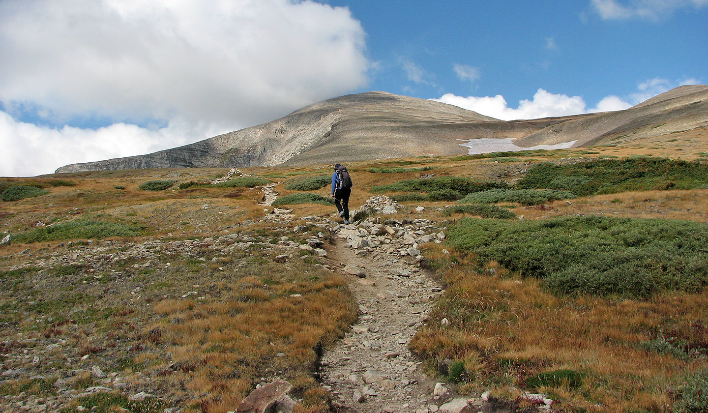
The summit comes into view
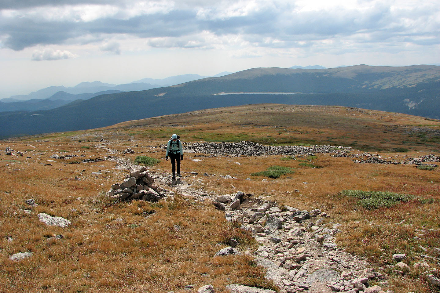
Looking back
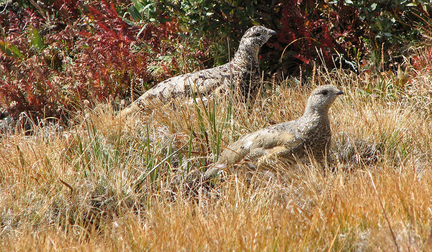
Ptarmigans
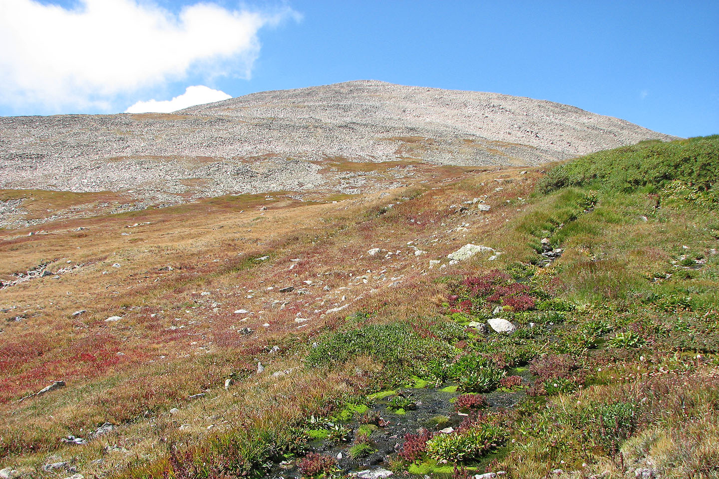
The saddle below the summit
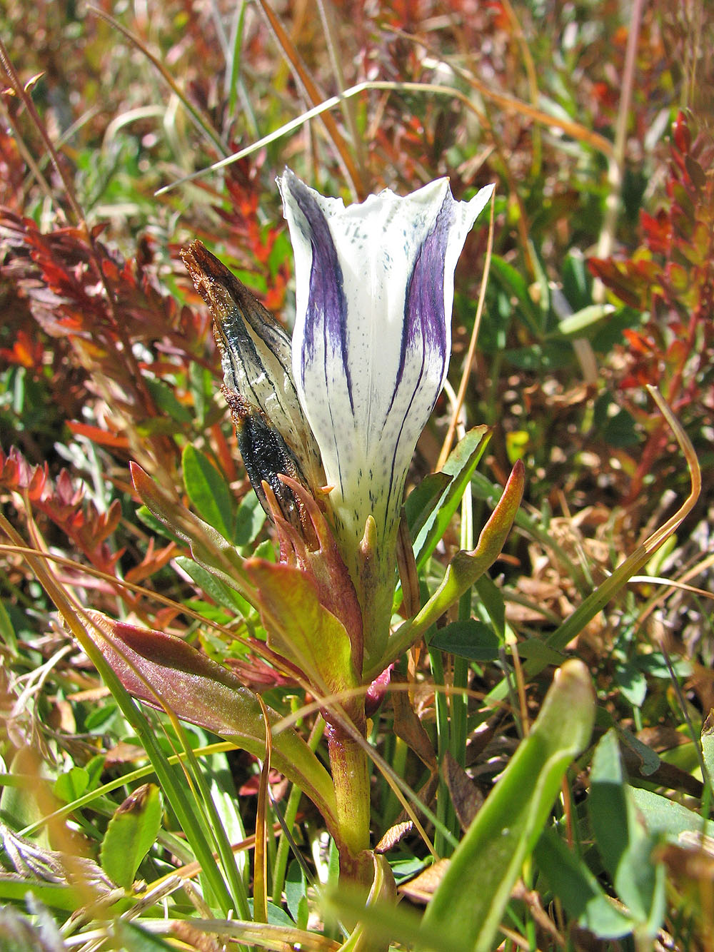
Arctic gentian
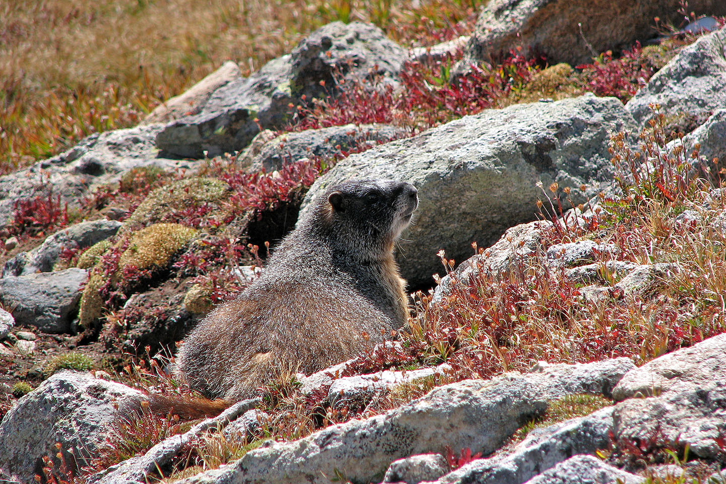
Yellow bellied marmot
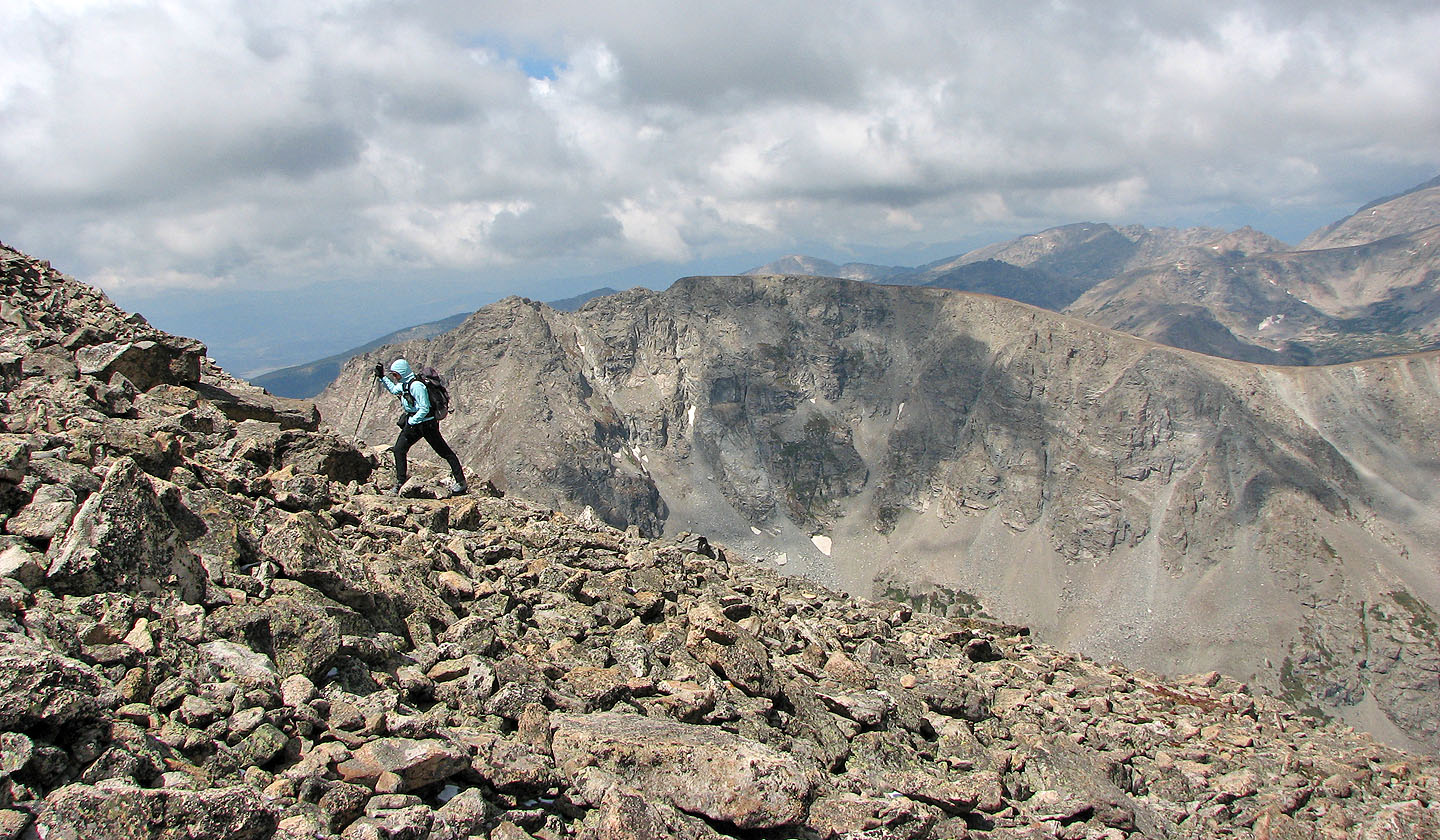
Easy scramble to the summit
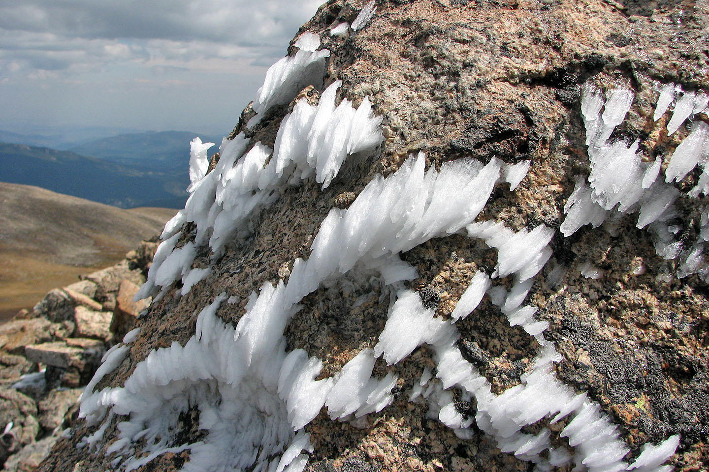
Vestiges of a recent snowfall
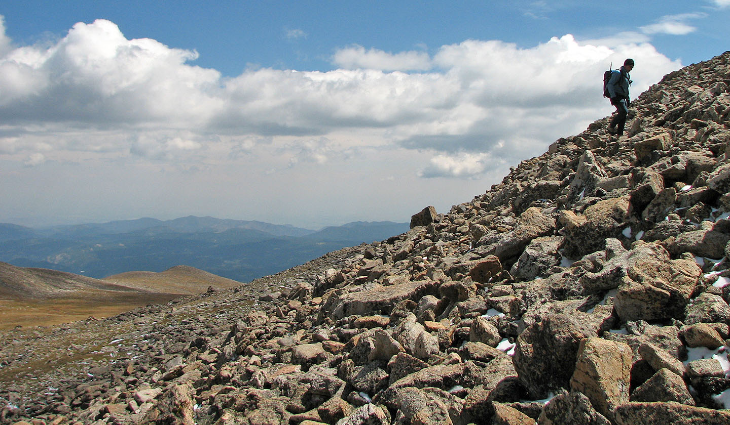
The slope becomes a bit steeper near the summit
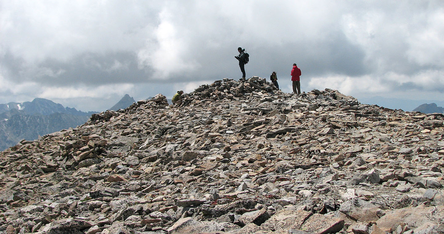
Standing on the broad summit
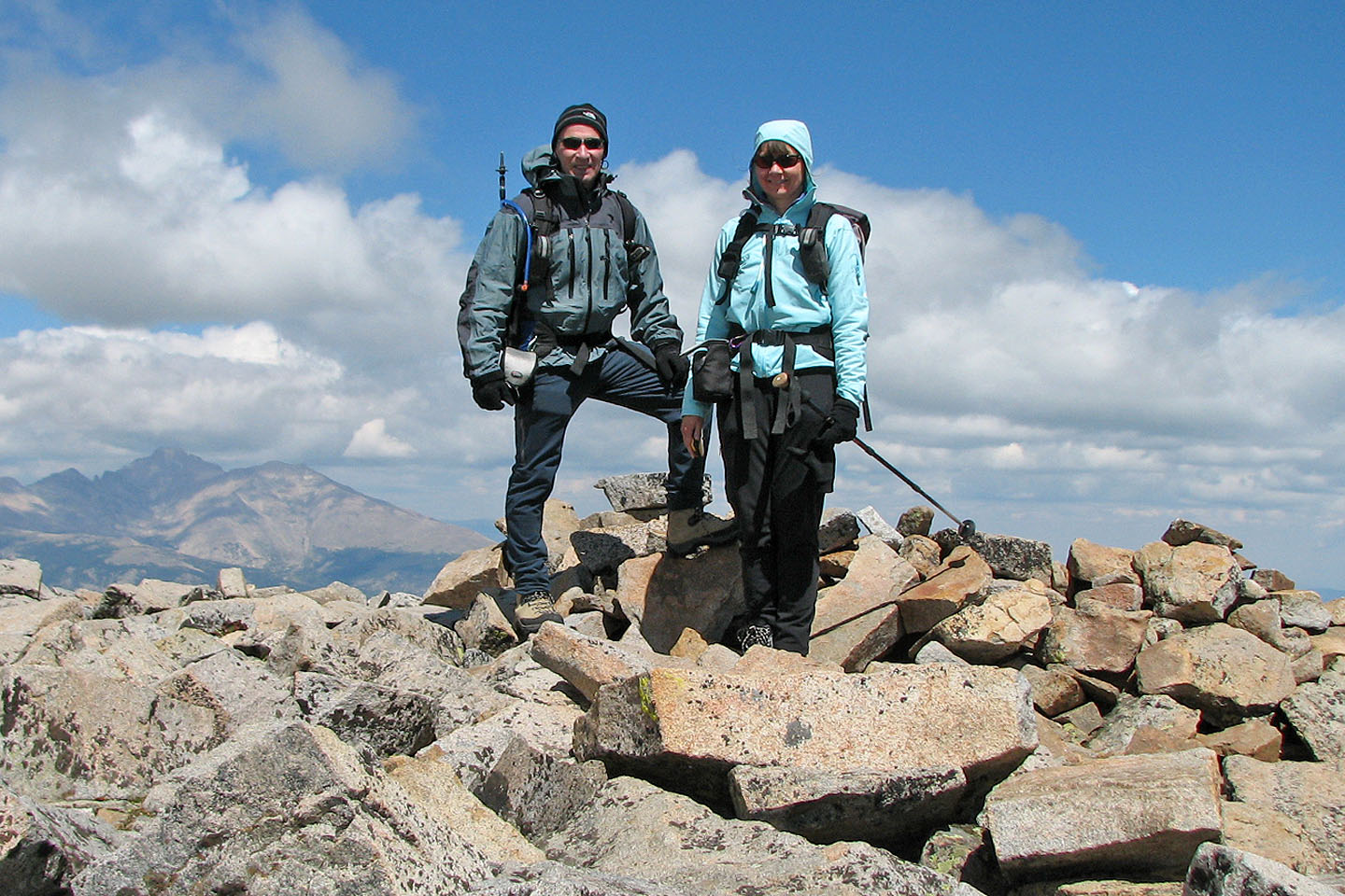
Posing by a ubiquitous windbreak
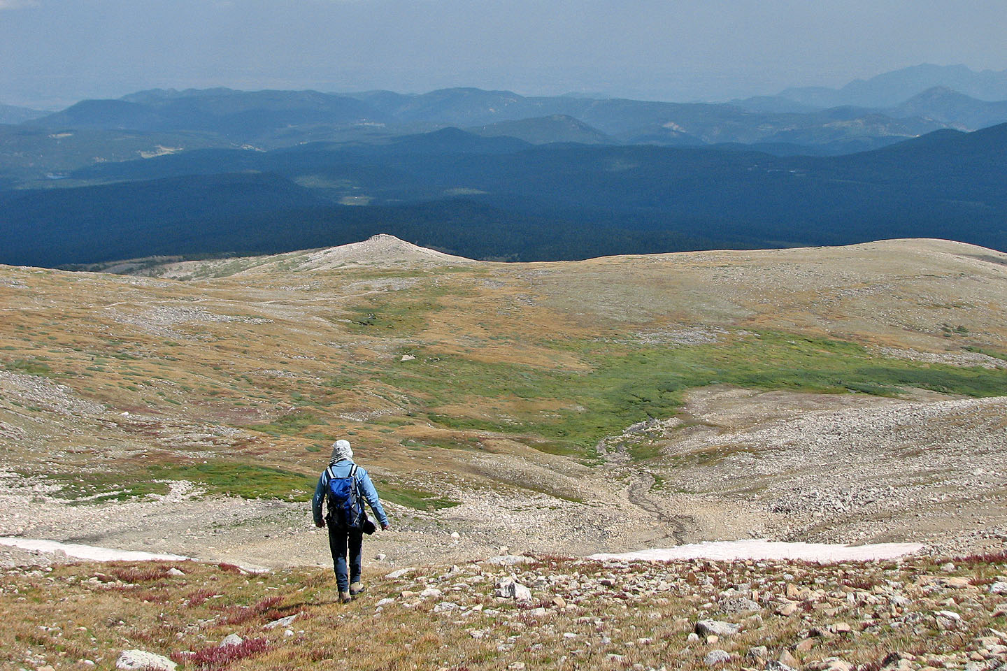
On our descent we made our own trail. There is lots of room to maneuver!
Ward (7.0 mi, 13,232 ft, 2707 ft)