bobspirko.ca | Home | Canada Trips | US Trips | Hiking | Snowshoeing | MAP | About
Van Winkle Mountain
Mojave National Preserve, California
October 16, 2016
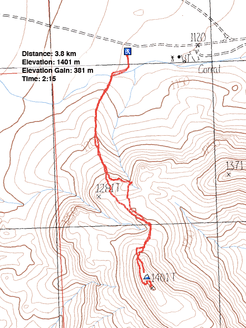
Distance: 3.8 km (2.4 mi)
Cumulative Elevation Gain: 392 m (1286 ft)
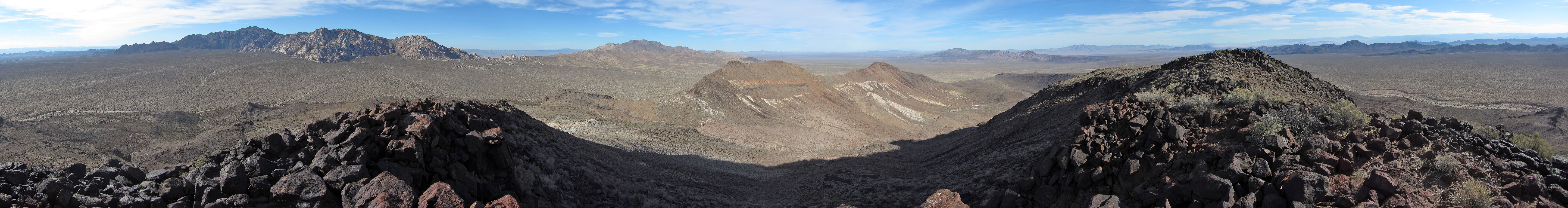
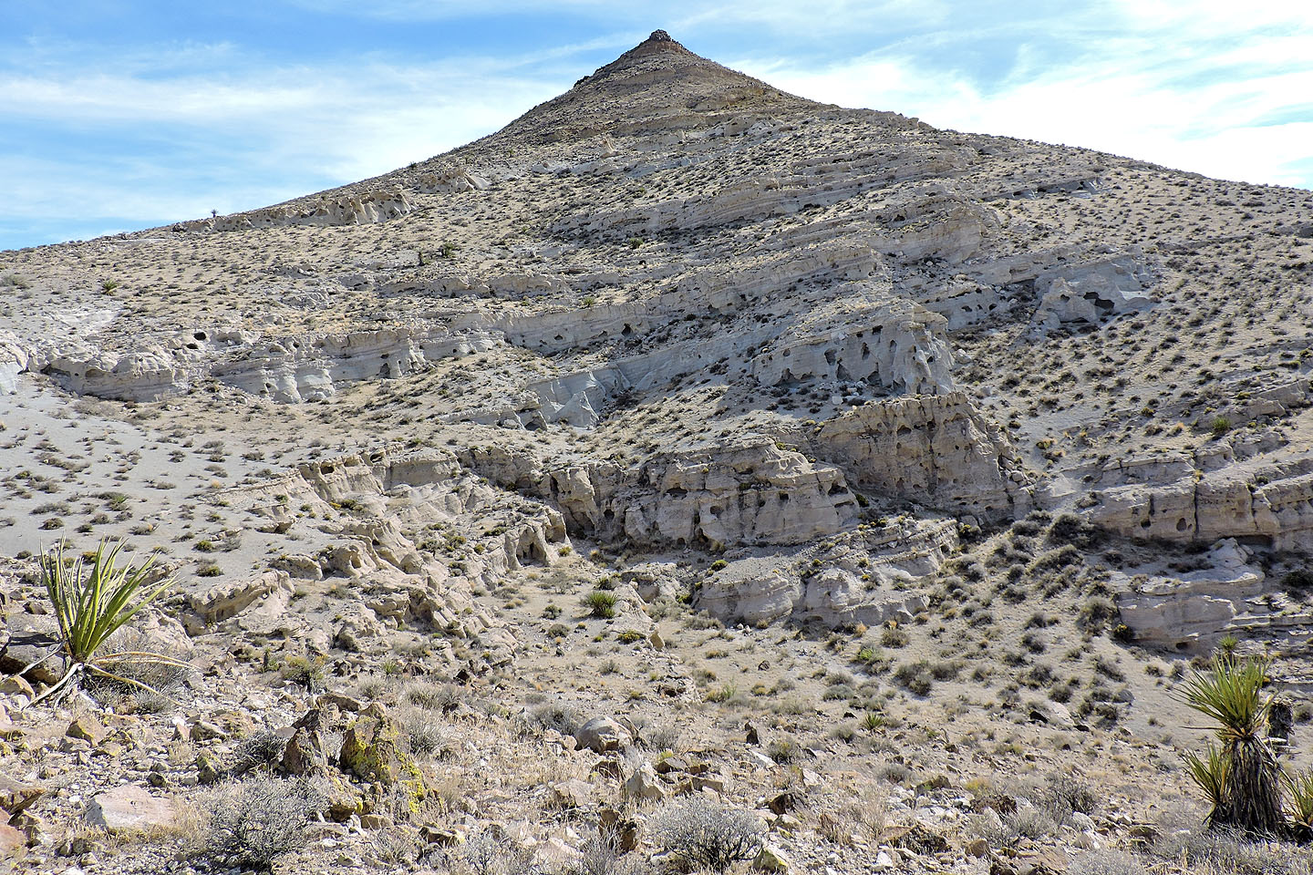
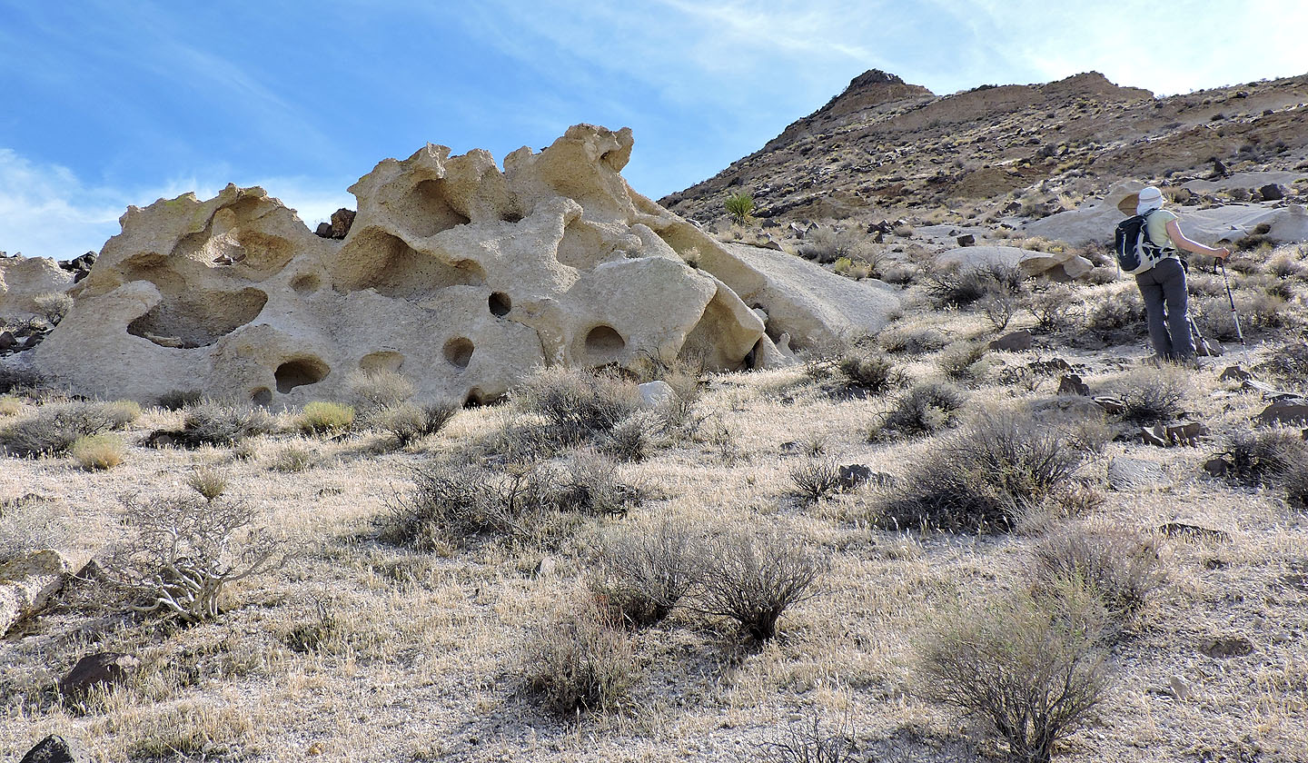
We were expecting Van Winkle Mountain to be a sleepy, little peak, but we were pleasantly surprised. Aside from the fine desert scenery, Its lower slopes displayed beautifully sculpted white sandstone, as if a modern artist lent a hand in their making. And the summit held worthwhile desert views for a modest effort.
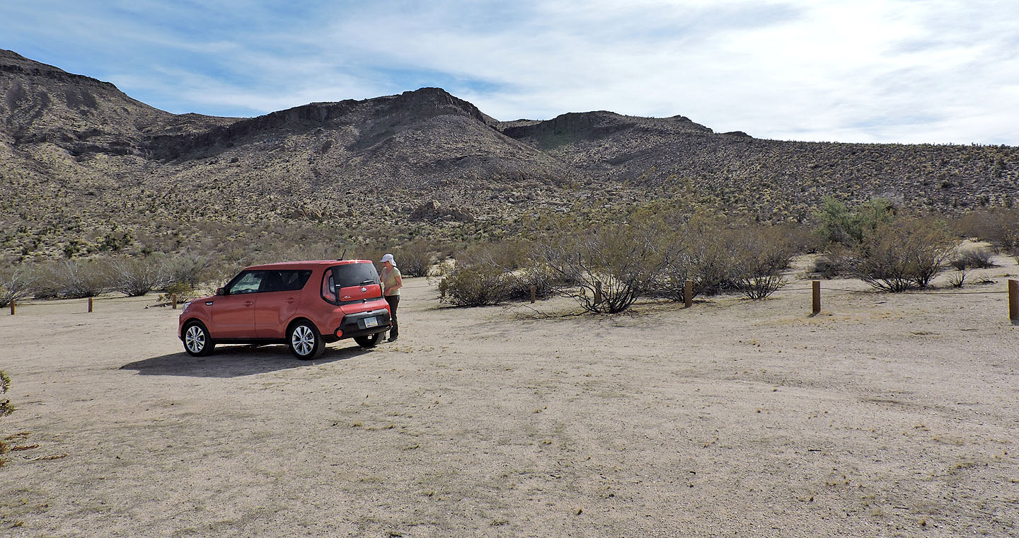
Van Winkle appears in Zdon’s Desert Summit book, and apparently nowhere else. I could find no mention of it on the Internet. We chose it only because it was close to Amboy Crater which we had hiked that morning. Van Winkle is accessed from a side road off Kelbaker Road. Perhaps the only wrinkle in Van Winkle is the sandy access road, but we had no trouble driving our 2 WD rental 1.3 km to the parking area.
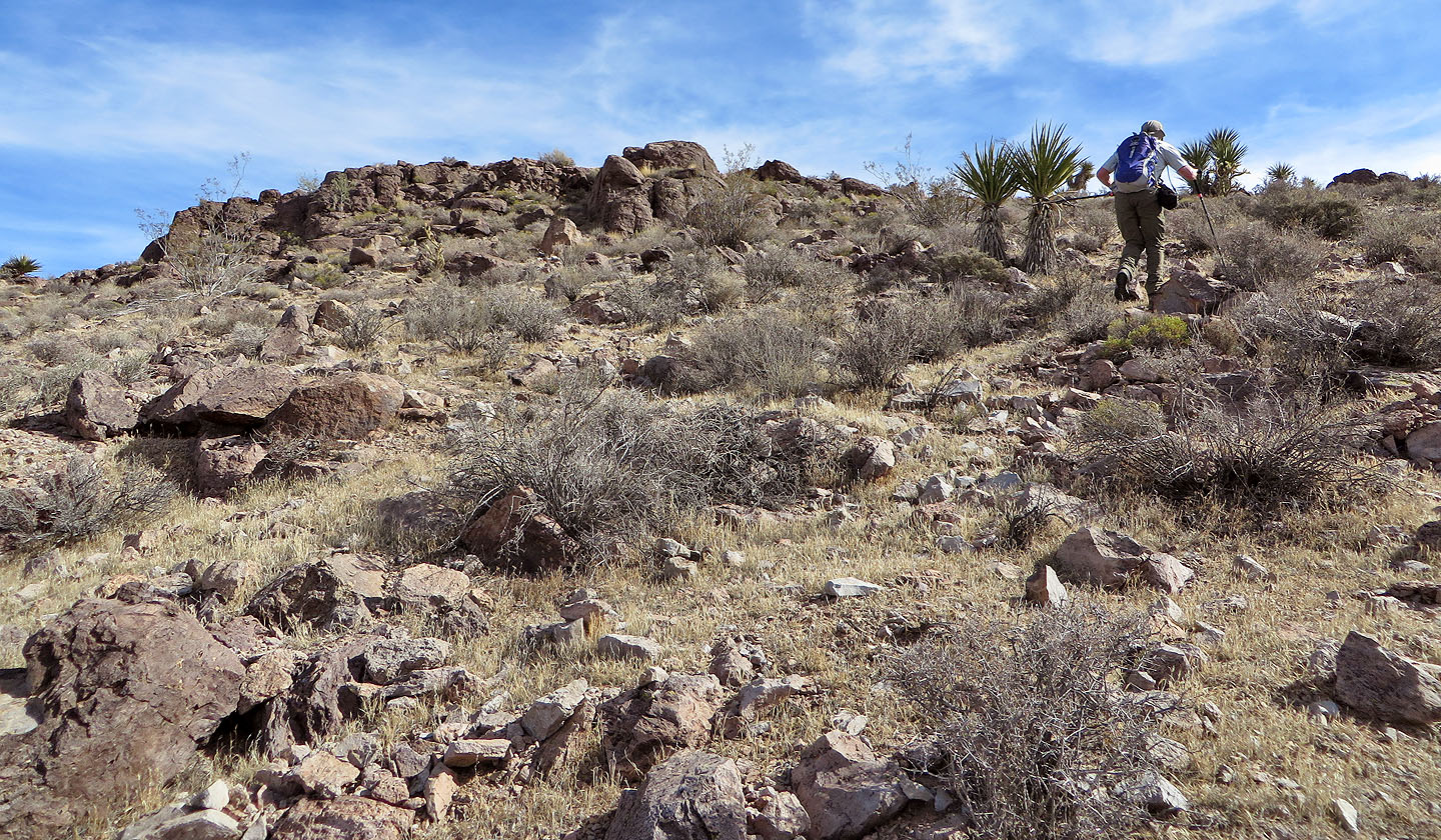
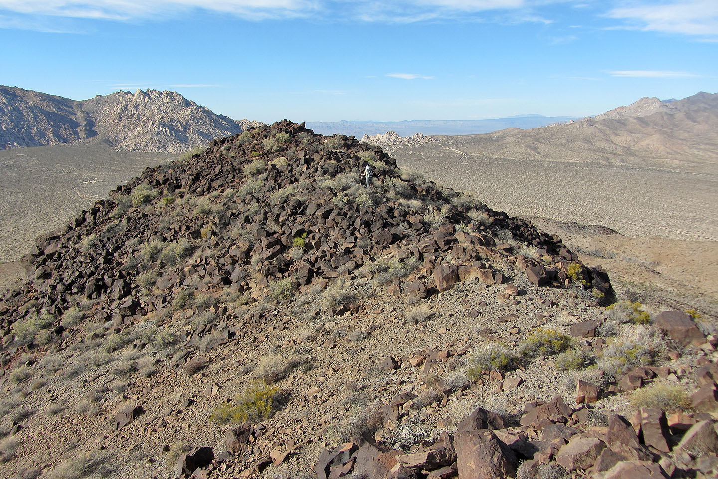
After parking, Dinah and I sauntered down a brief road to a T-intersection, a wash that incorporates another road. A short walk brought us to the northeast ridge, the ascent ridge bearing ventifacts. It’s not entirely ridge-like, however. After climbing, it levels off into a pleasant plateau before rising again to meet a rocky ridge. The high point isn’t at the south end as indicated on the map, but at a point north, three metres higher.
On our descent, we ventured off the plateau to the top of a wash. We thought it would work as a descent route, but we were discouraged by the dense catclaw trees. Don’t bother trying. So we retraced our steps down the ridge back to our car. In all, we thought it was a fine desert peak, full of interest. We didn’t feel ripped off on Van Winkle Mountain.
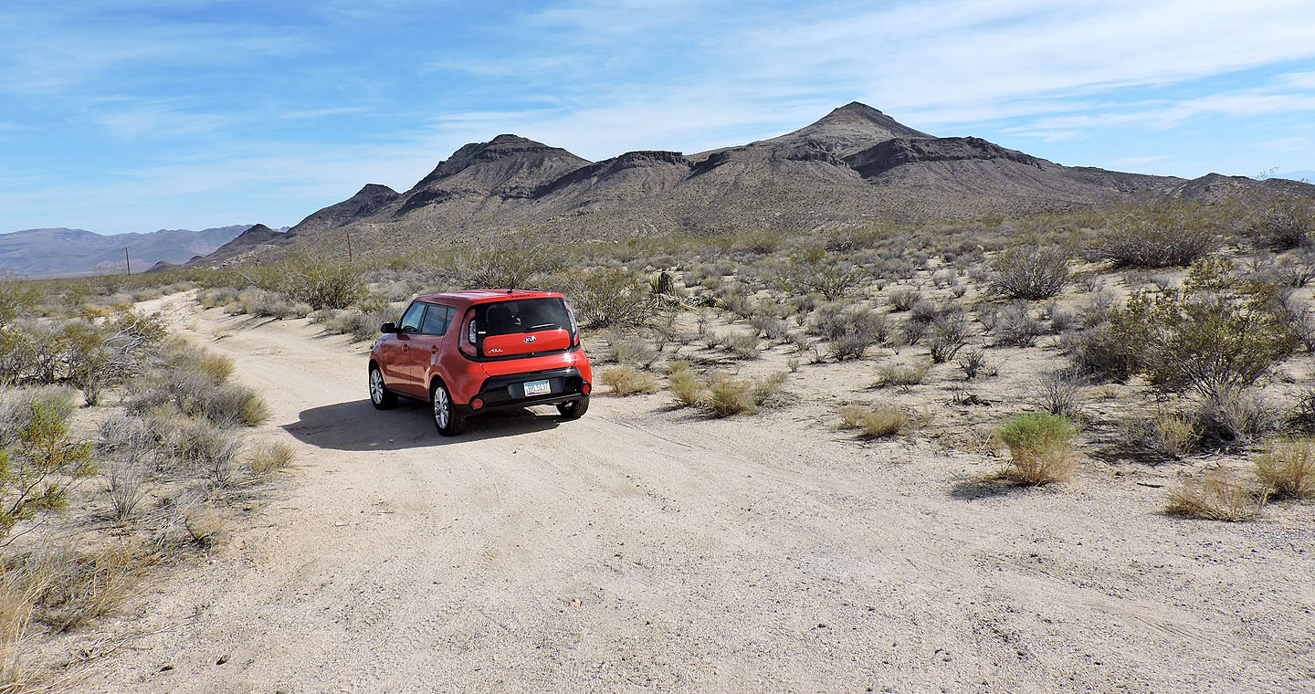
View of Van Winkle Mountain (right) seen from the turn-off
From the parking lot, we hiked up the ridge on the far right

Starting up the ridge
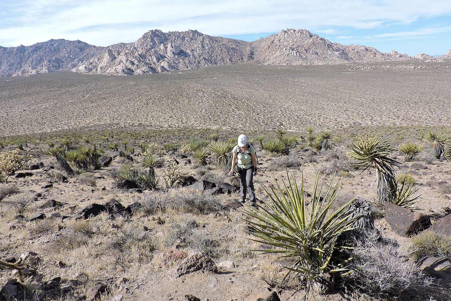
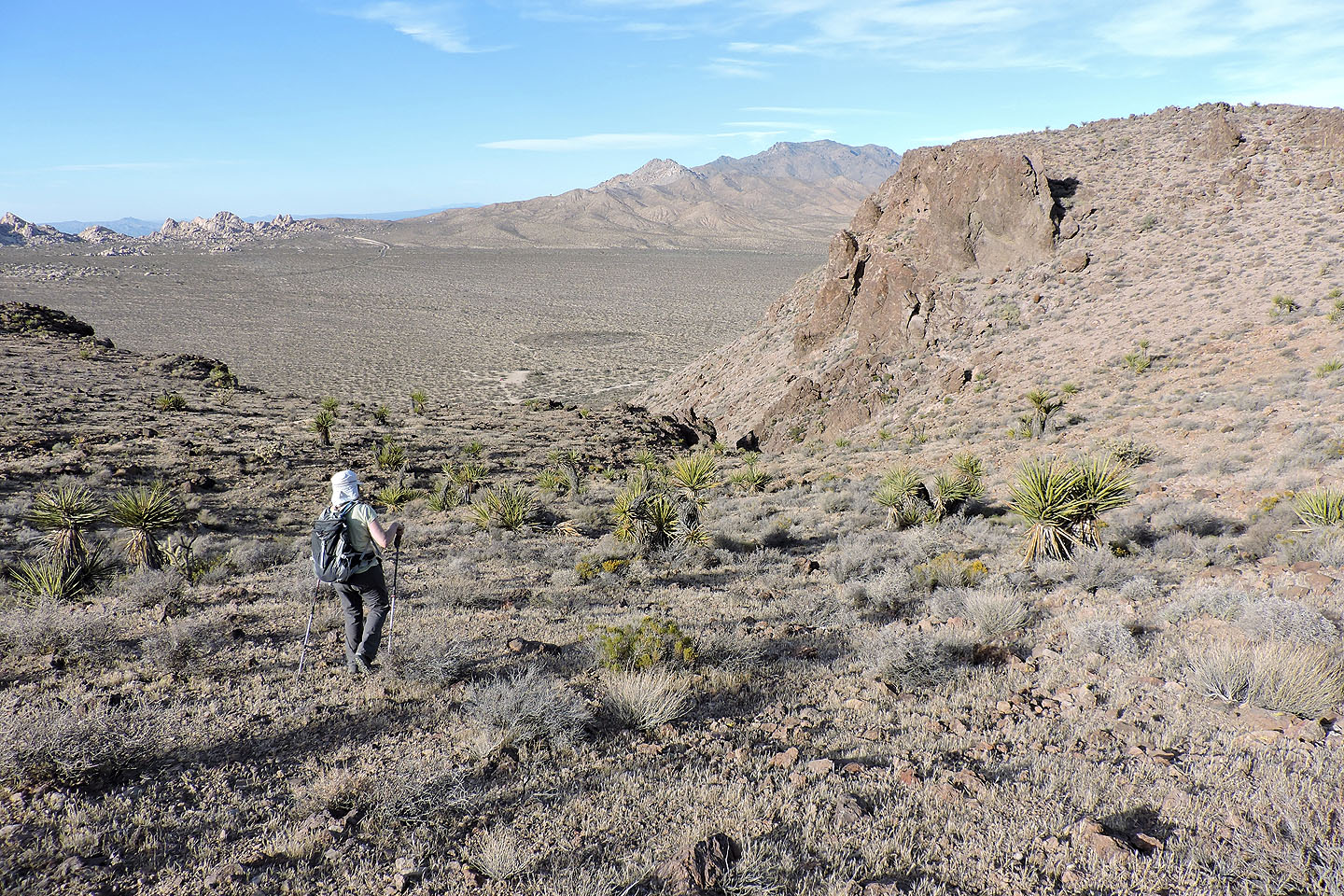
Behind us on the far left, is Granite Peak
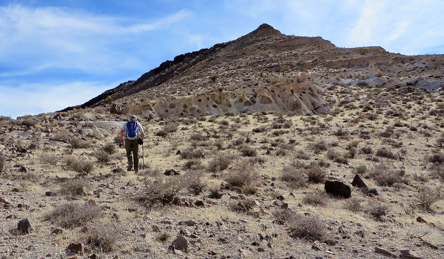
Almost at the top of the slope where we'll find a plateau
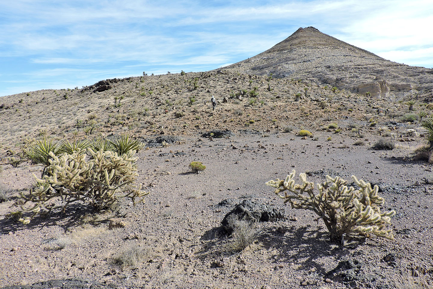
The plateau extends to the base of the summit ridge
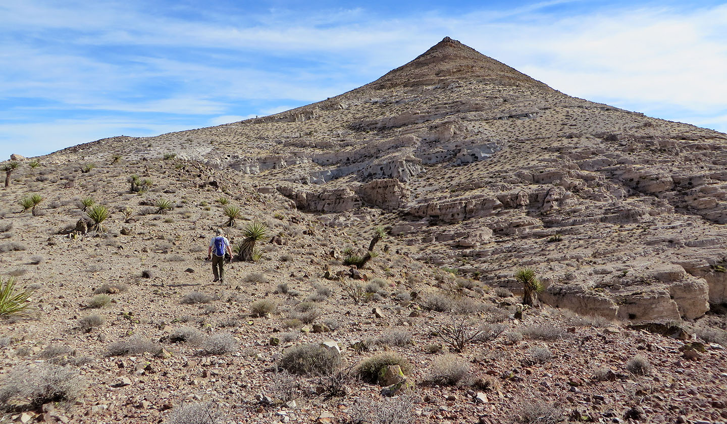
From here, Van Winkle displays a striking profile
A closer look at the mountain
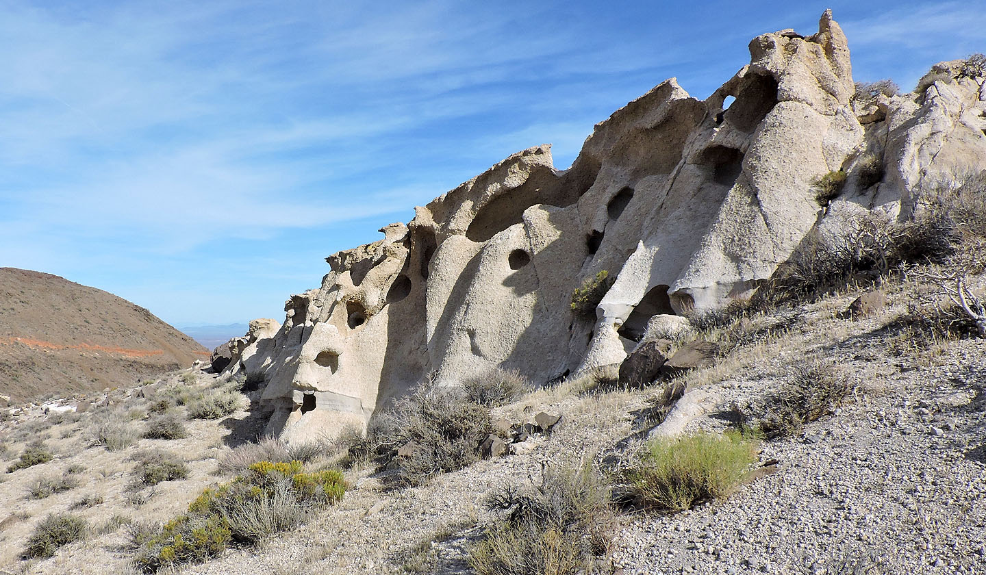
Unusual rock grace the lower slopes
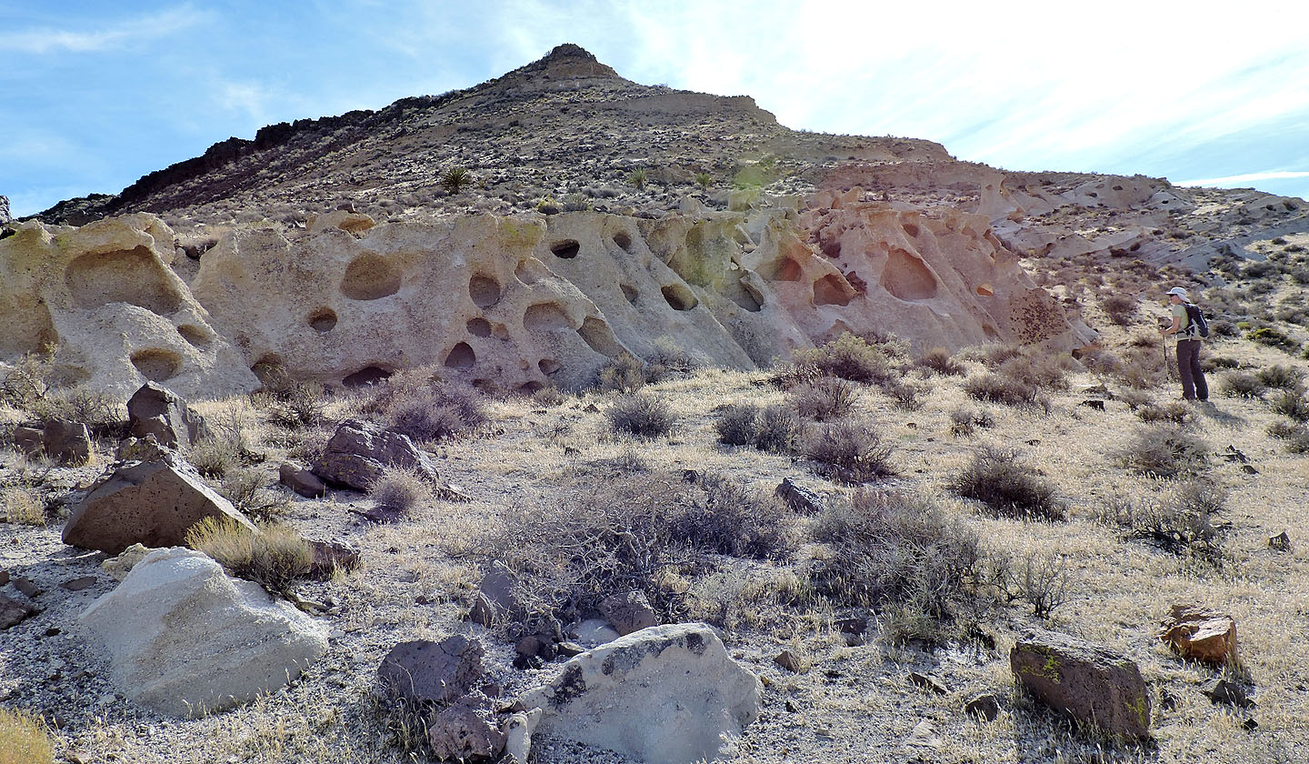
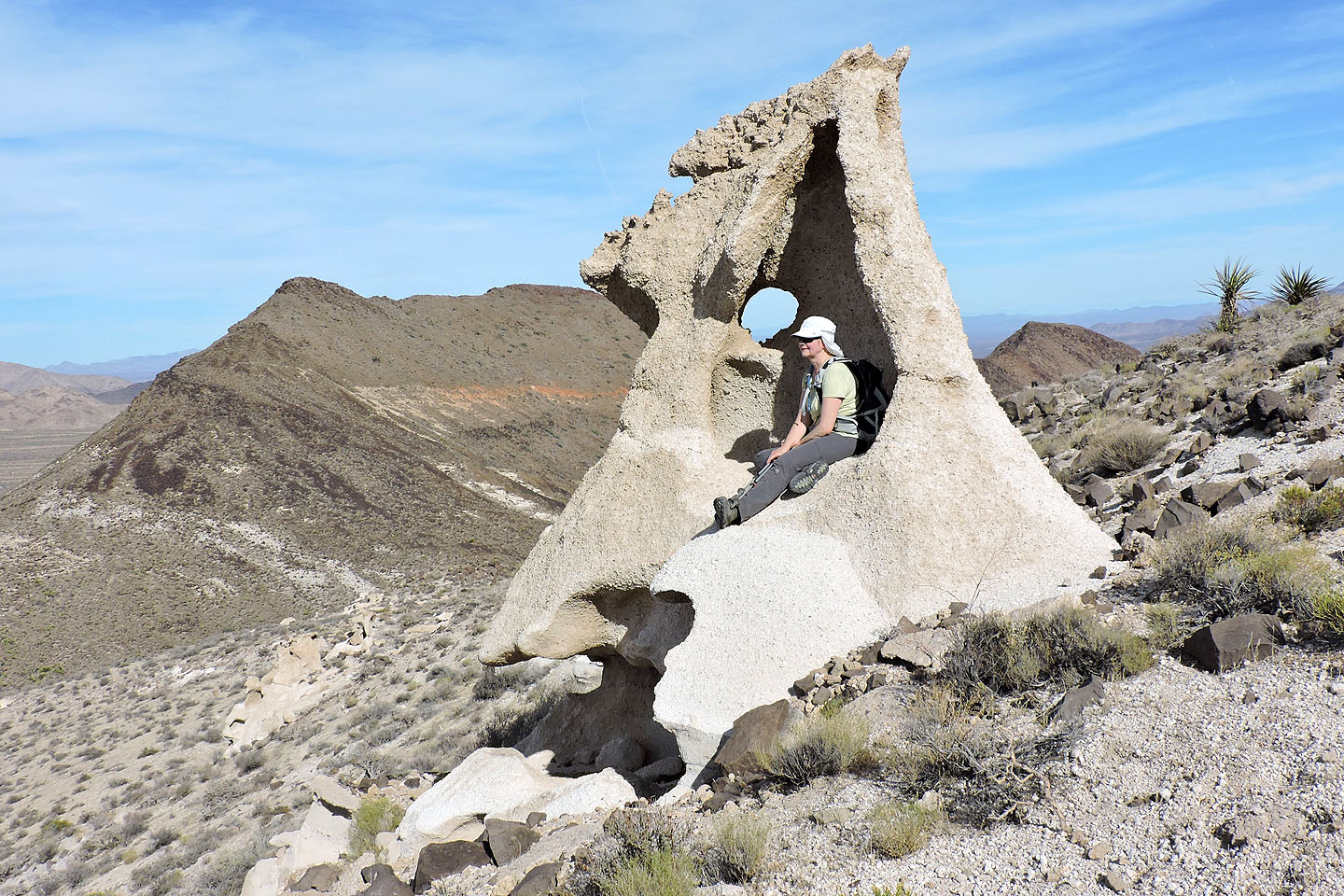
On the way to the summit, we passed the wind-sculpted sandstone: ventifacts
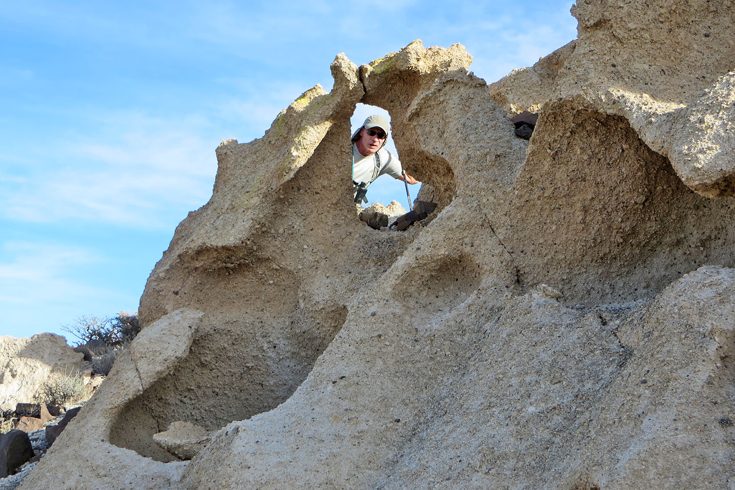
Taking a close look at the rocks
Looking back
Another ventifact
This particular rock stood out
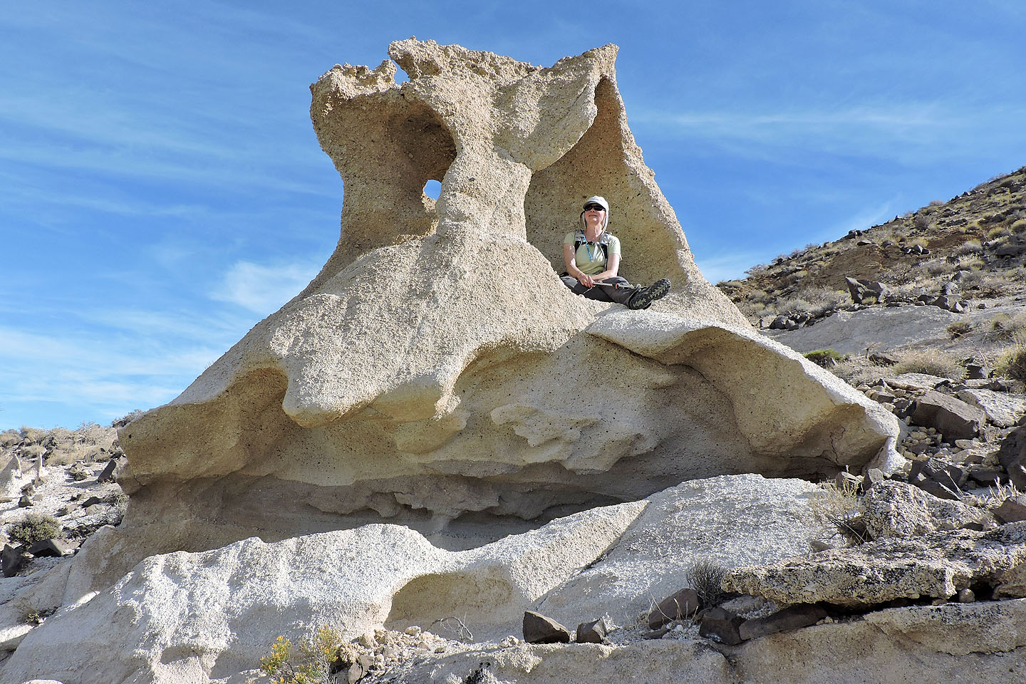
It reminded me of Kermit the Frog
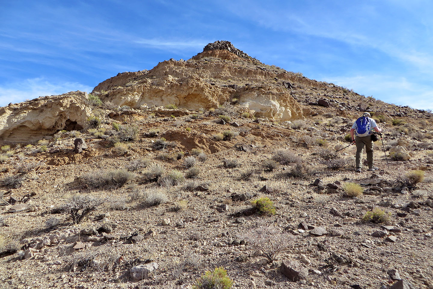
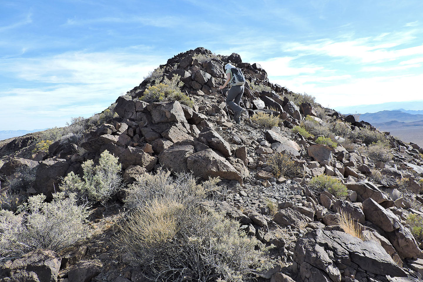
Continuing to the false summit
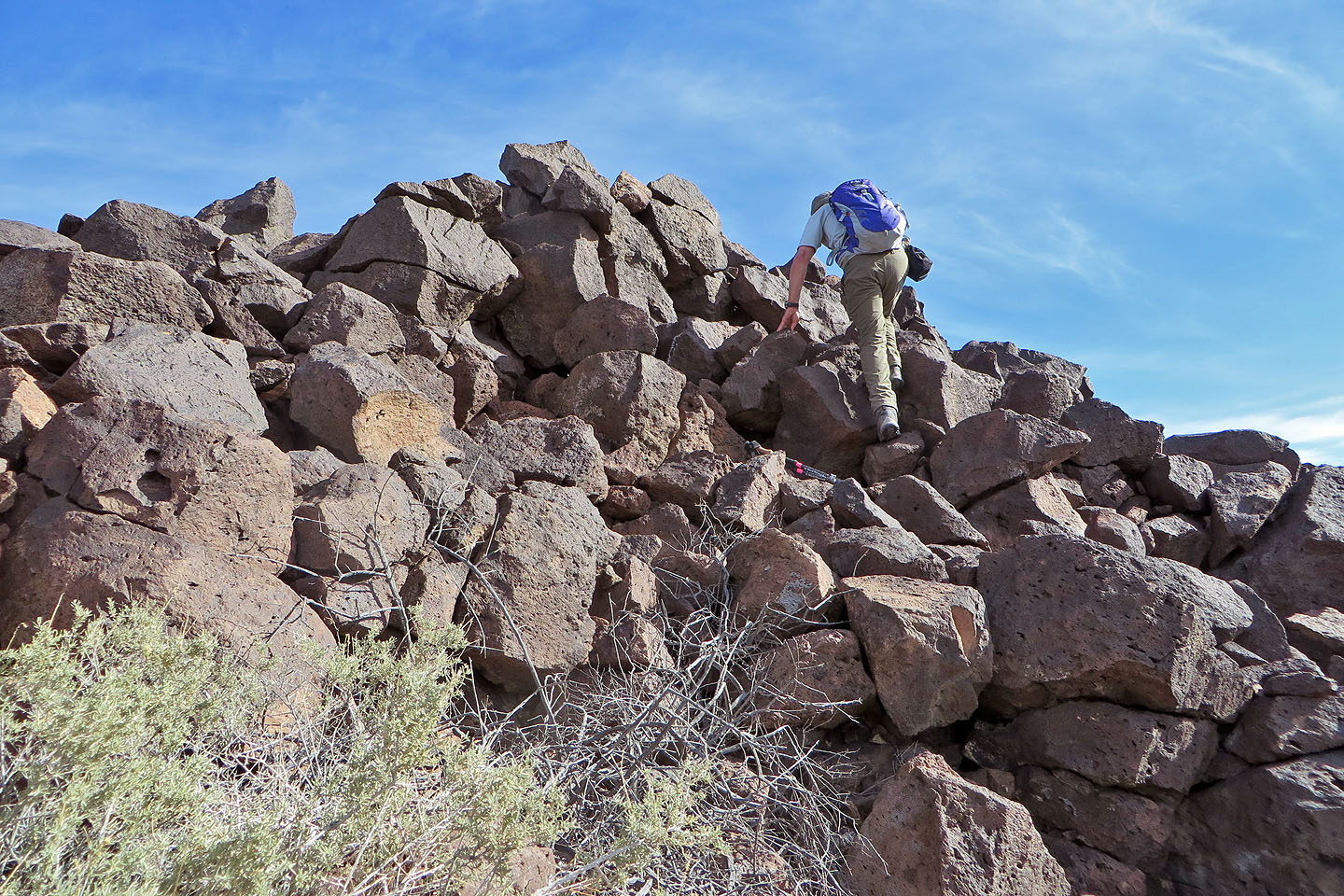
Scrambling to reach the ridge crest
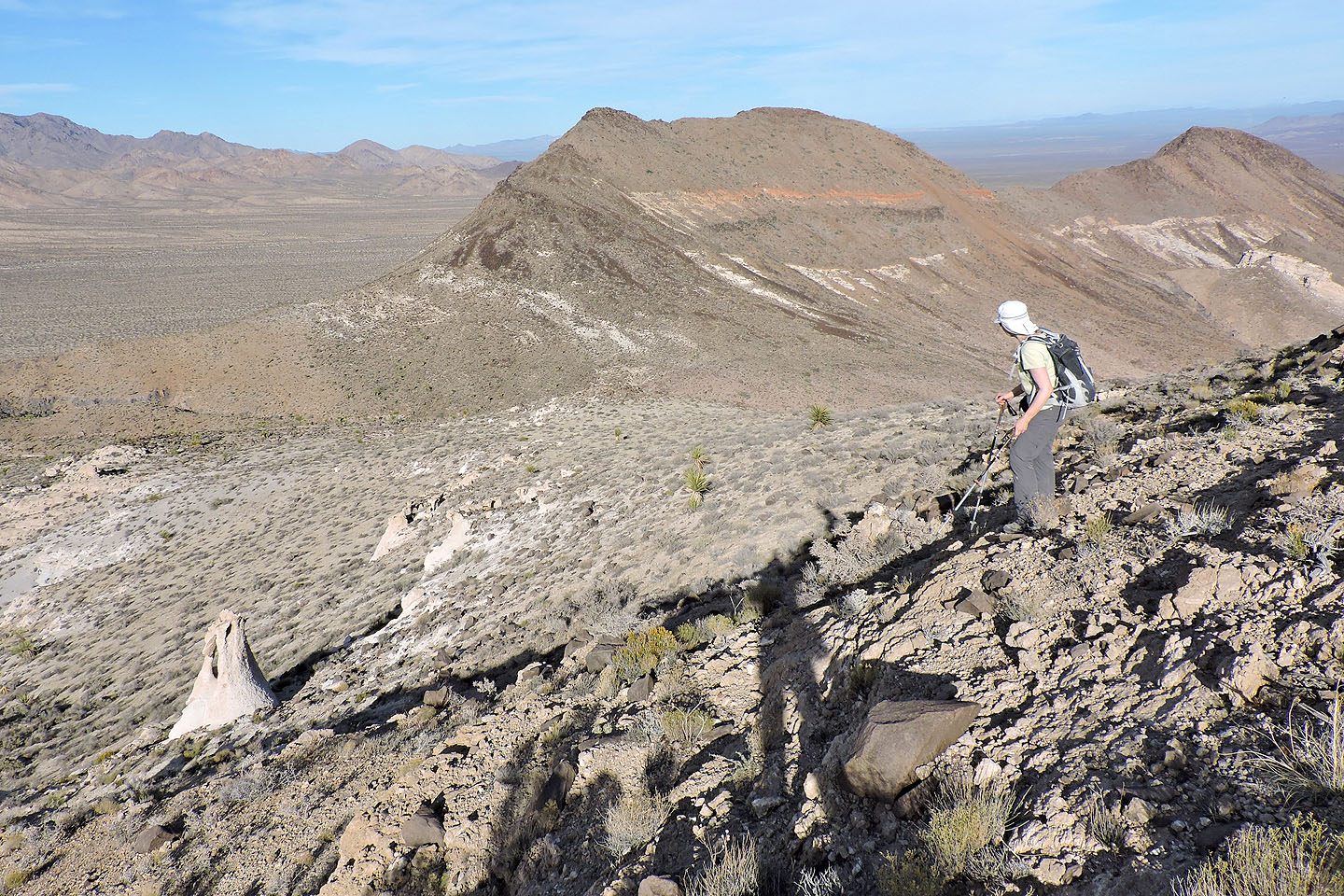
According to the X on the topo map, the south end is the highest point but it isn't
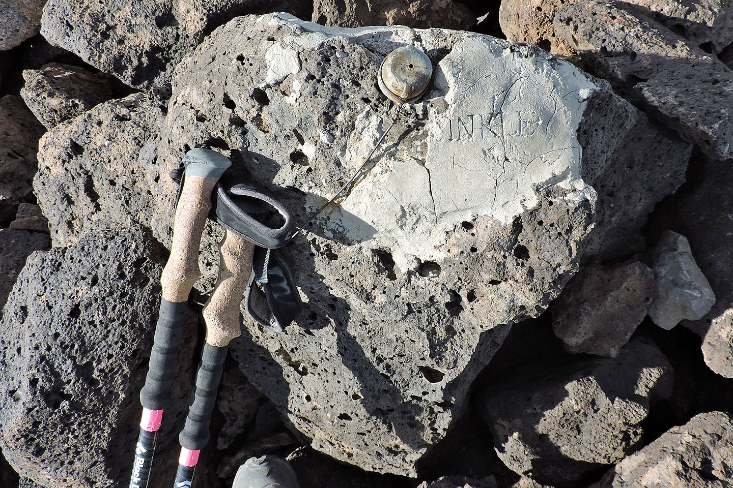
All that remains of a cement nameplate on the south end is "INKLE"
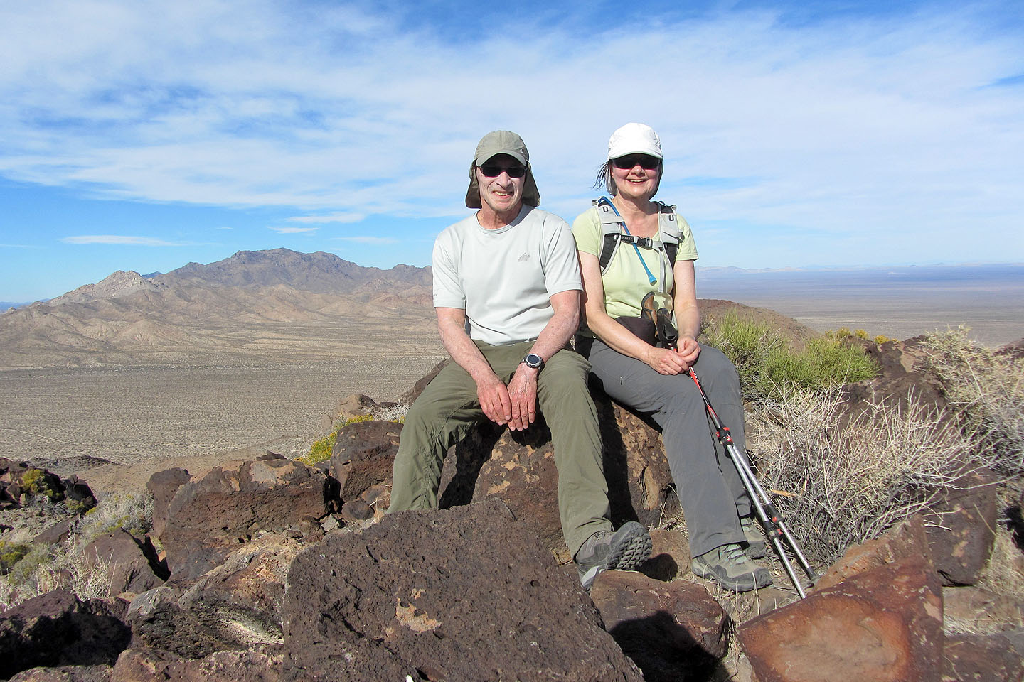
Posing on the south end
The point north turned out to be 3 m higher
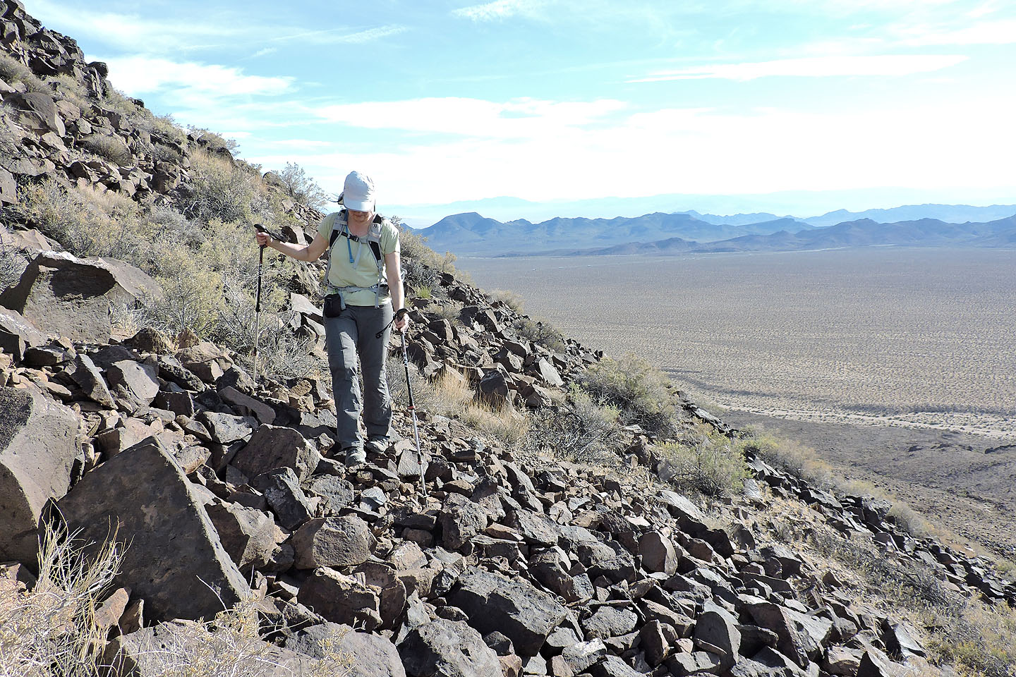
Instead of following the ridge back, we contoured below the crest which avoided the need to scramble
We head back to Kermit rock (lower left)
The plateau fills much of this photo
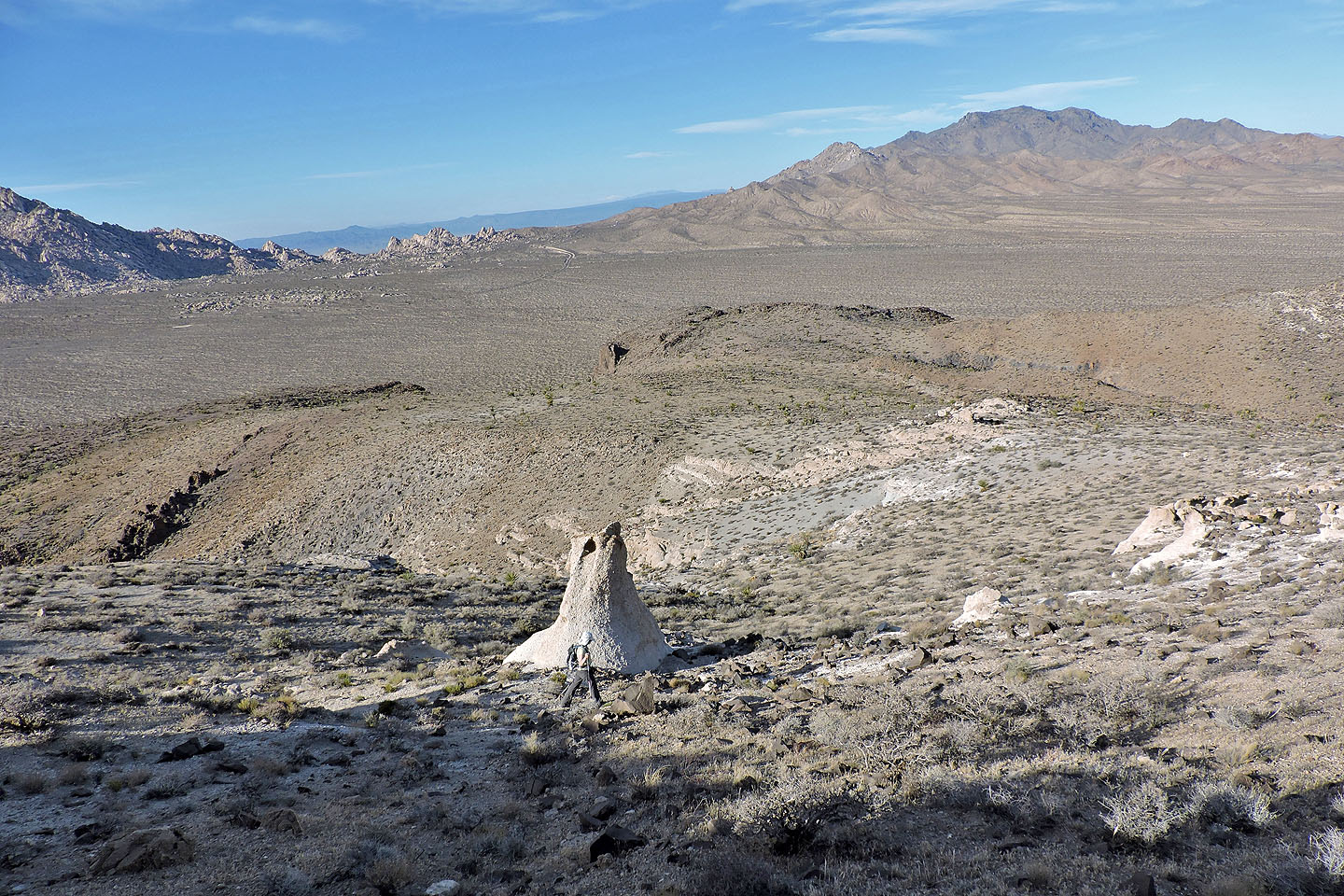
We considered descending the gully (centre) but it was filled with catclaw trees
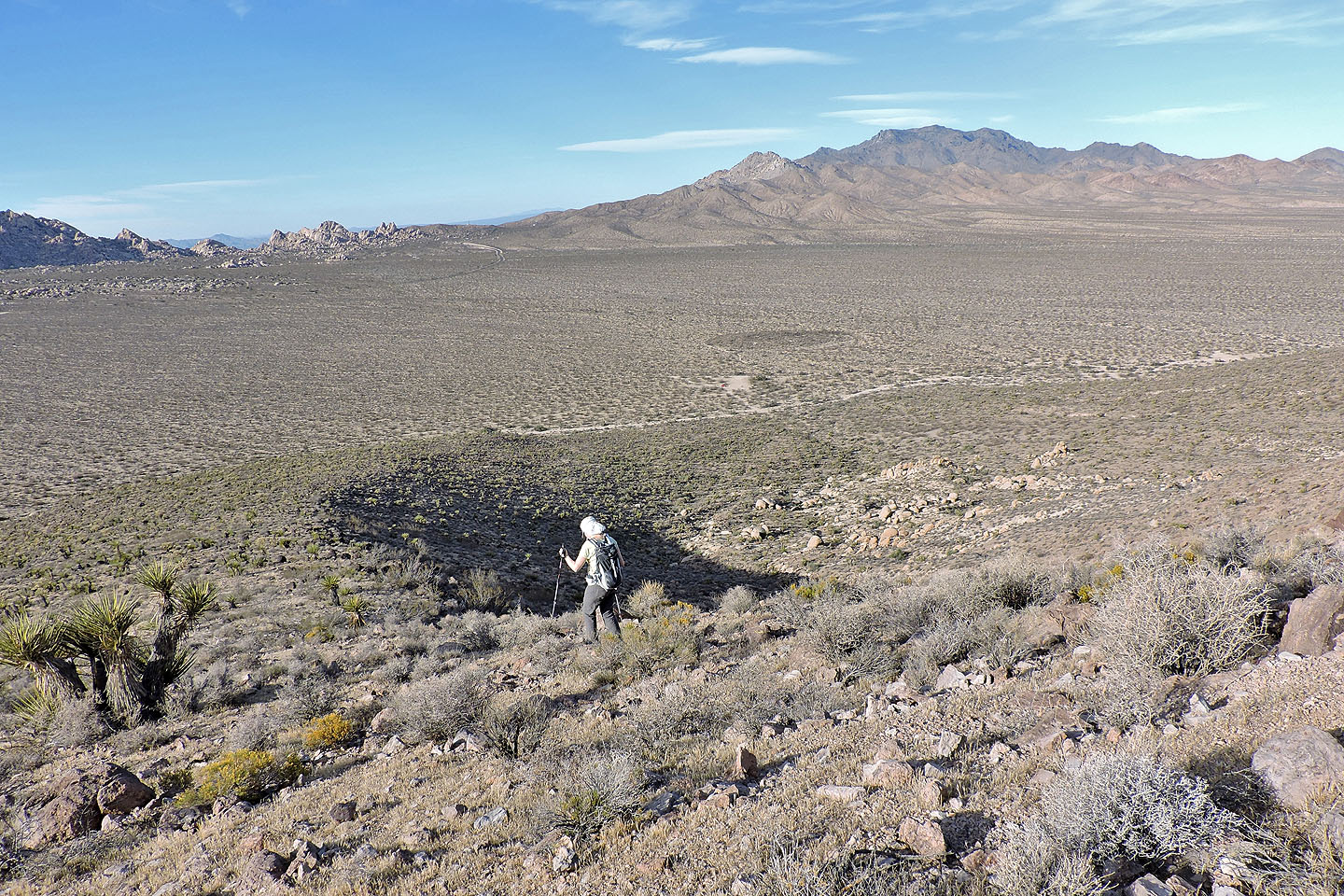
Following the ridge back to the parking lot, the rectangle in the centre
Van Winkle Spring (2.4 mi, 4596 ft, 1250 ft)