bobspirko.ca | Home | Canada Trips | US Trips | Hiking | Snowshoeing | MAP | About
Ubehebe Peak and Little Ubehebe Peak
Death Valley, California
April 21, 2022
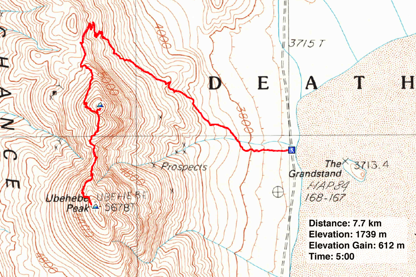
Distance: 7.7 km (4.8 mi)
Cumulative Elevation Gain: 748 m (2454 ft)
Ubehebe Peak may be obscure, but it rises above popular Racetrack Playa, home to “sailing stones.” In certain icy conditions, rocks can be pushed by winds leaving tracks in the playa.
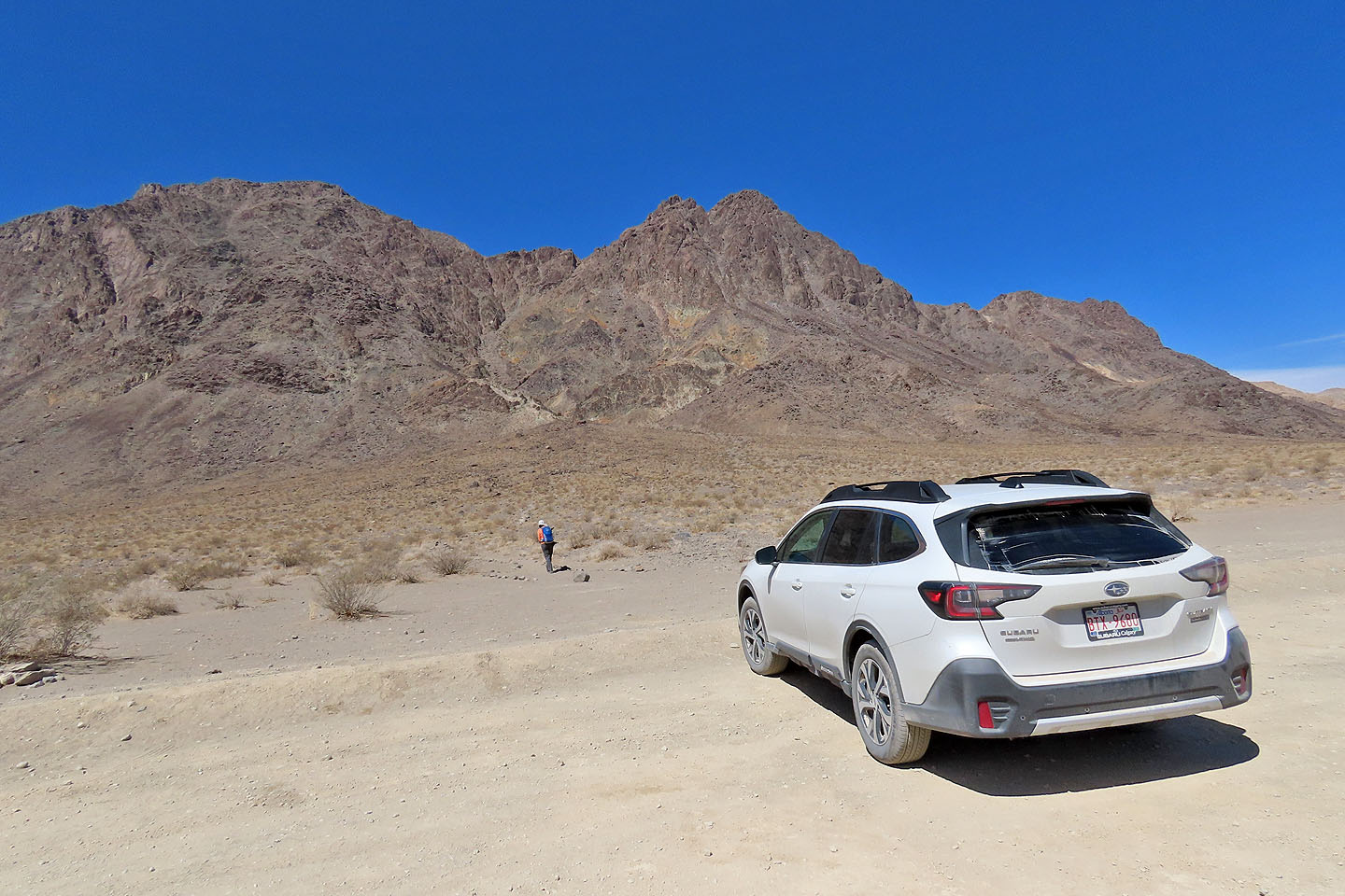
Racetrack Playa lies in a remote area in Death Valley and is reached using Racetrack Valley Road, a daunting, 42-km back road. Tire punctures aren't uncommon and towing can cost thousands of dollars. Jeeps complete the drive in an hour, but less-rugged vehicles can do the trip if they take their time. Preparing for the worst, Dinah and I equipped our Subaru Outback with an air compressor, a flat tire fix can and a puncture repair kit. Happily, we used none of these.
Although the sailing stones would be interesting, we focused on climbing Little Ubehebe Peak and Ubehebe Peak. Dinah and I drove up the road in two hours to a pullout next to the playa. We geared up and set off up the trail.
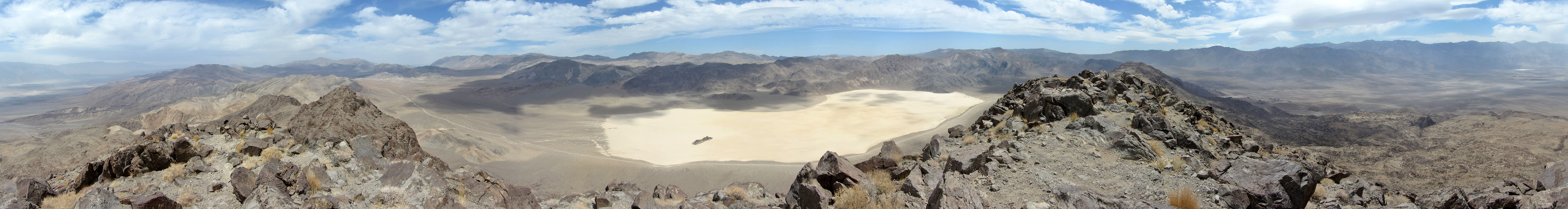
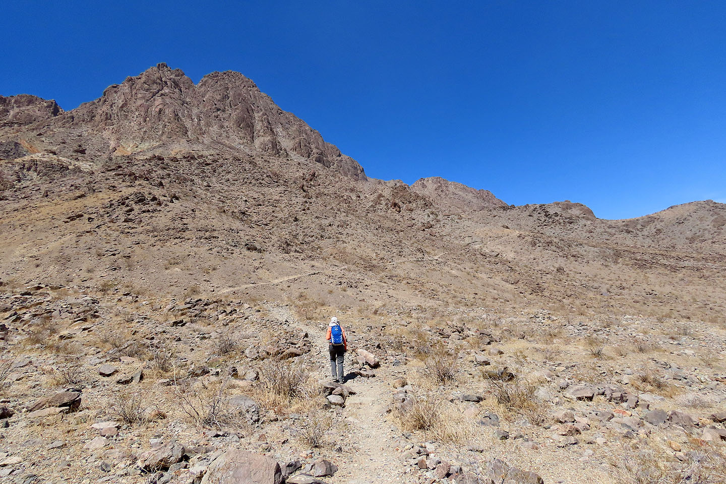
The unmistakable trail angles up the slope before finishing the climb to a saddle with a series of switchbacks. As we climbed, we revelled in the view of the playa and its centrepiece, the Grandstand. The Grandstand comprises stately boulders standing starkly on the flat desert basin.
On the saddle, we continued up the trail to Little Ubehebe. The trail, still distinct, climbs to a col south of the peak. But we ignored Little Ubehebe and turned our attention to Ubehebe Peak. We begrudgingly dropped 50 m down to the col north of Ubehebe Peak.
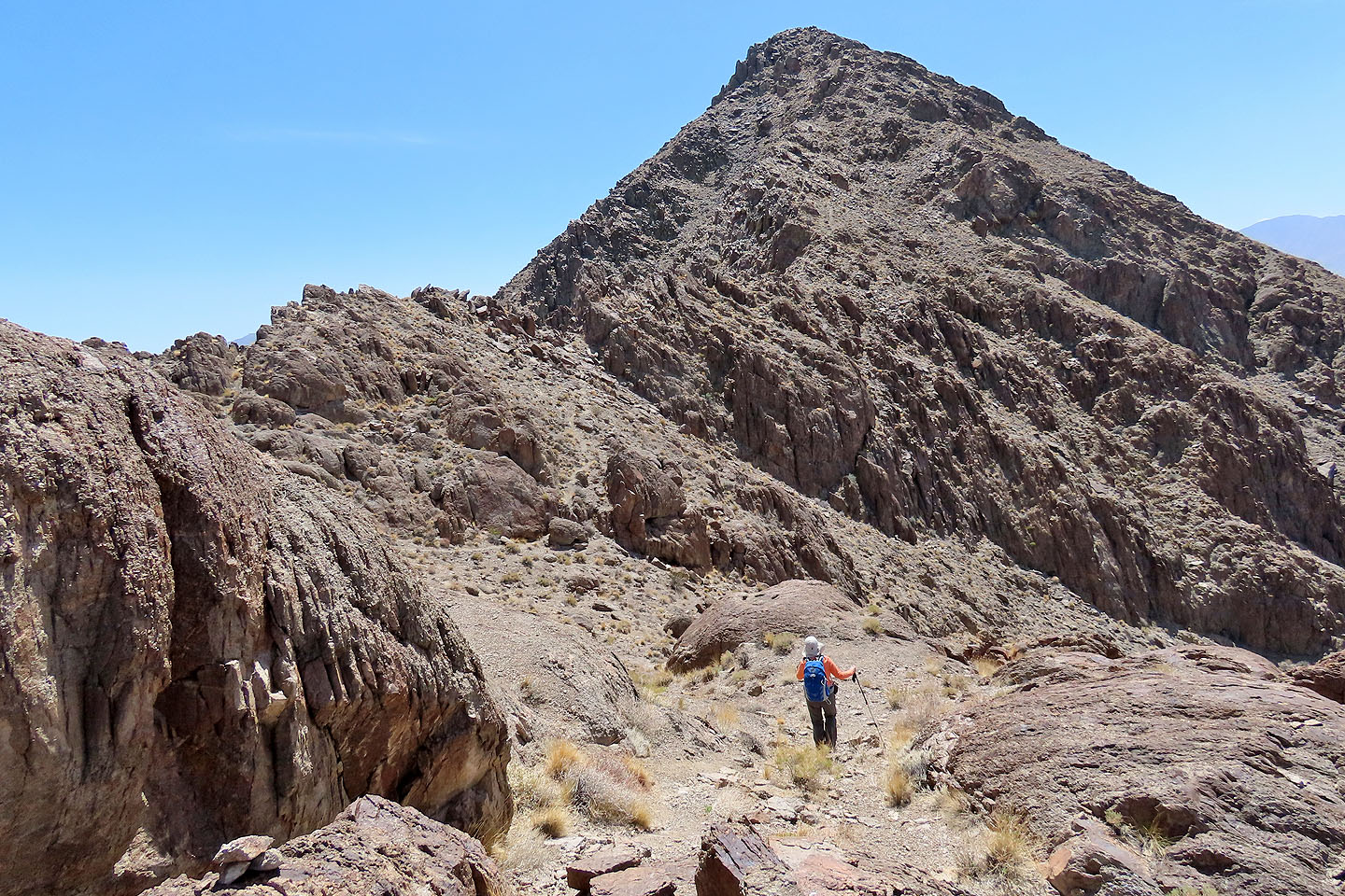
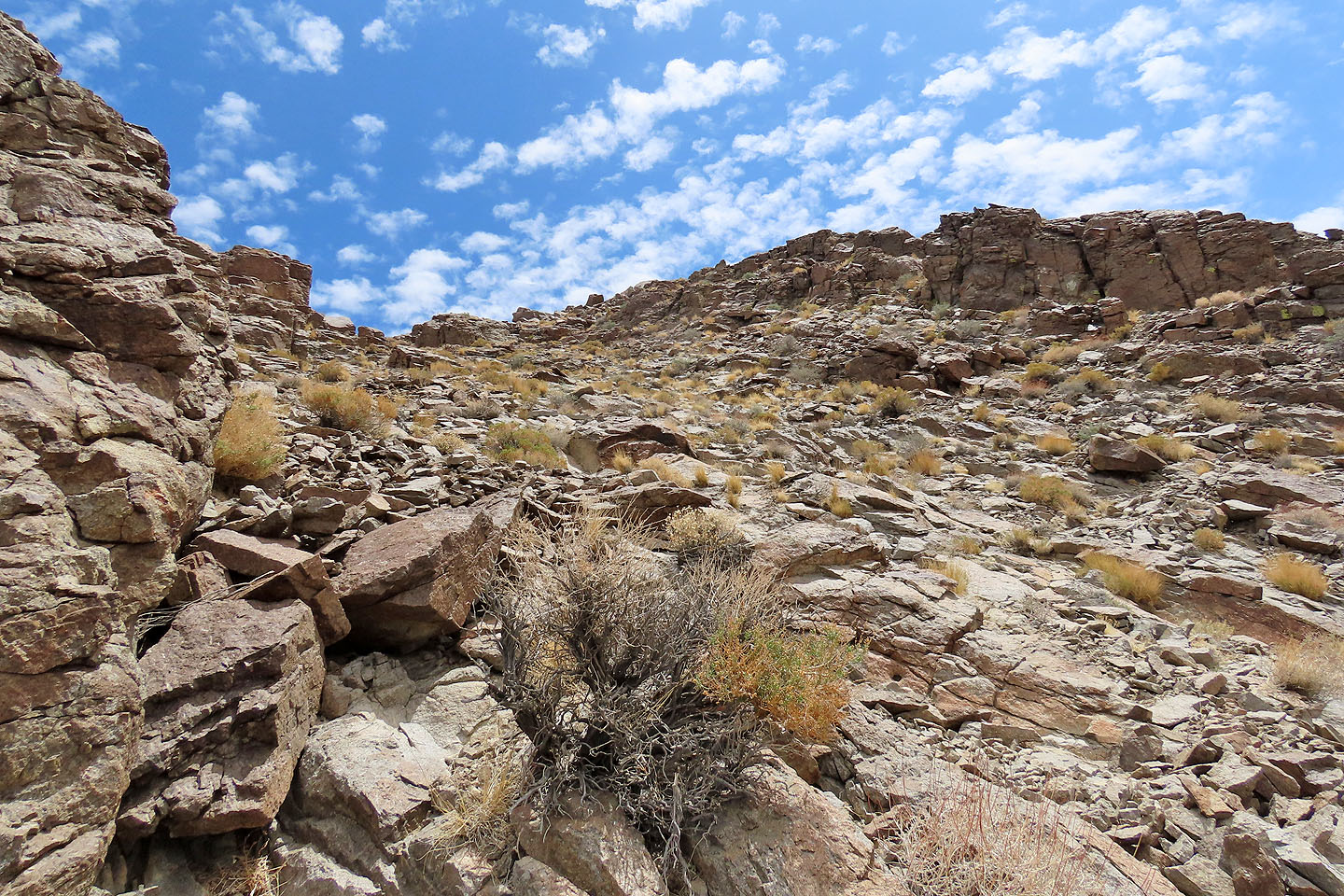
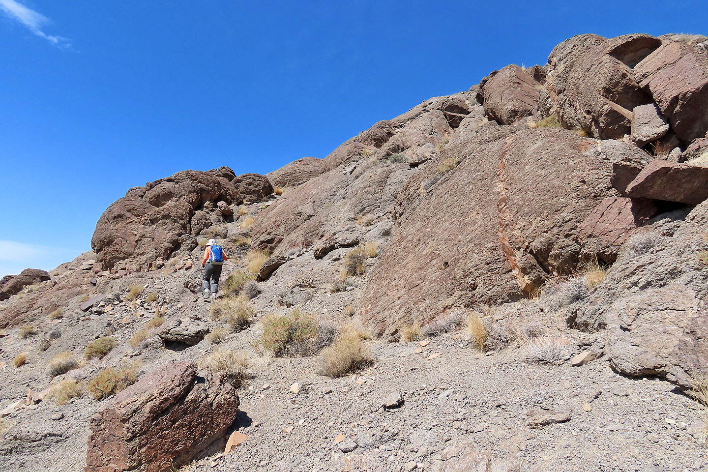
From the col, the trail threads up through boulders. Although still class 2, the slightly steep climb was a stretch for Dinah, who has difficulty bending her knees because of arthritis. She stayed at the col while I continued up Ubehebe.
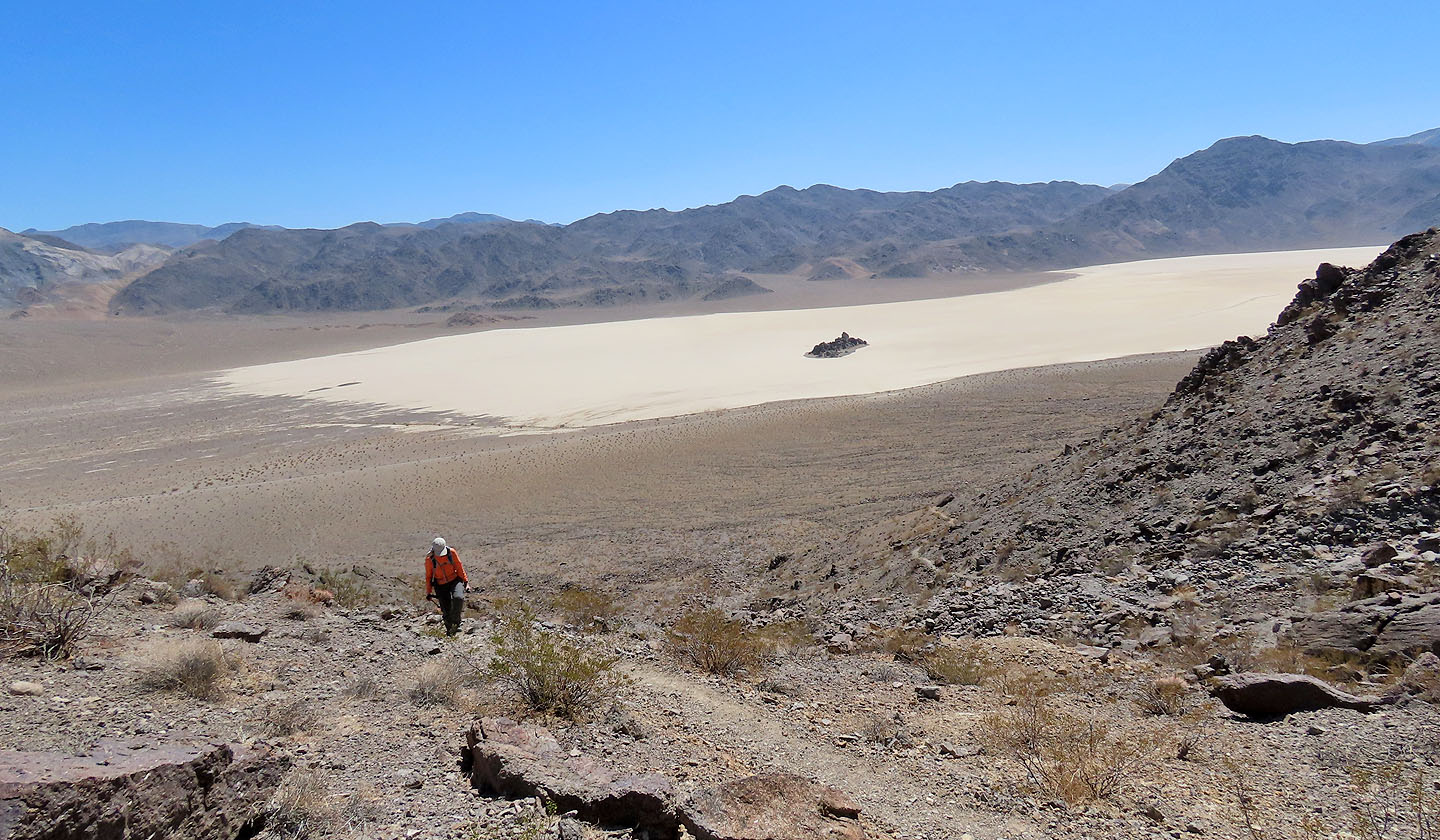
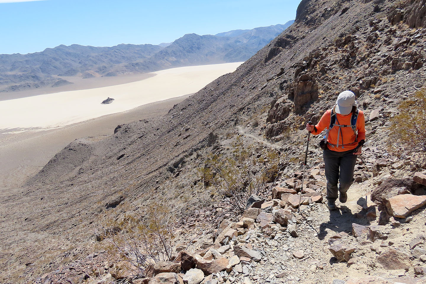
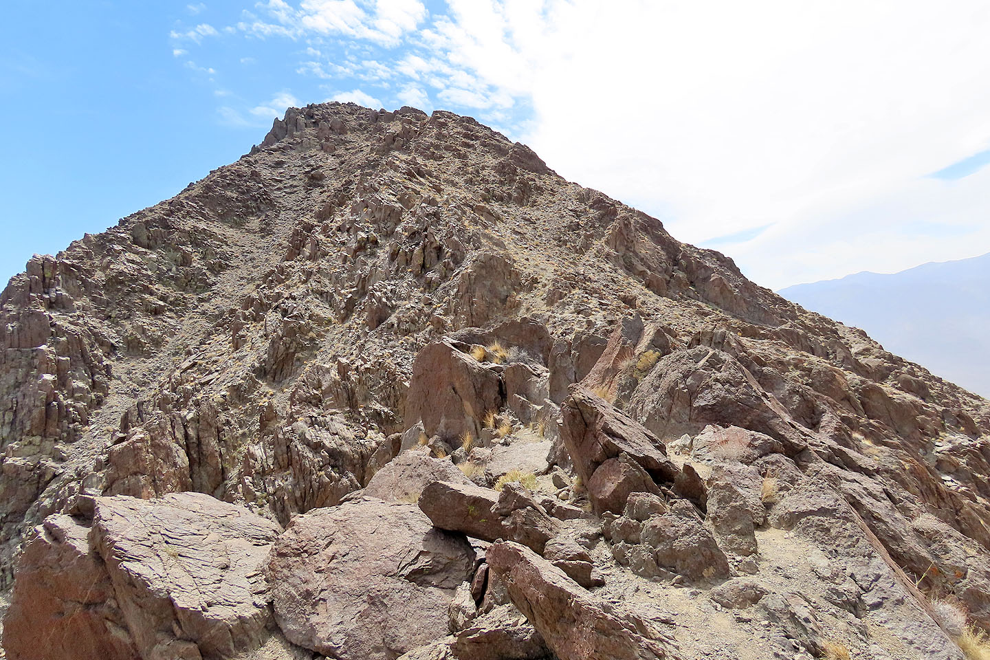
Beyond the boulders, the path becomes easy again and cuts low on the west side of the mountain. Then, below the summit, the trail hits a wide, steep gully. At first, I thought the trail disappeared, but as I started up, I noticed a faint trail. It crosses the gully before climbing to the summit. I reached the top and took a few photos before heading back to join Dinah on the col.
We followed the trail back to the col south of Little Ubehebe. A short climb brought us to the summit. Only 50 m lower than Ubehebe, Little Ubehebe shares much the same view, and we gazed down at Racetrack Playa far below.
Our trip didn't finish when we returned to our car – we visited the Grandstand. It appeared deceptively far on the playa, but it took us only five minutes to reach it. We explored the boulders before wandering to the other side. We spied rocks on the playa and wondered if they were sailing stones. The best place to find them is three kilometres away in the southeast corner of the playa, yet they were here too: small rocks that had left tracks in the basin. Then it was time to go back to our car.
We had planned to camp that night by the playa, but with a few hours of daylight left, we decided to drive back down the Racetrack Valley Road and get it over with. After a long, rough drive, we gratefully hit smooth pavement. However, our sudden change of plans left us without a place to spend the night. We stopped at Ubehebe Crater, but there was no campground. That was no surprise, but the wind was. It had been building all day, and now it reached gale-force proportions. With the wind blasting the car broadside, I wasn't able to open the door! We had to turn our car into the wind to get out.
We continued down Scotty's Castle Road and fortuitously found a campground, Mesquite Spring Campground, in the fading light. We gratefully stretched out in the back of our SUV, but the gale continued unabated and rocked our car as we sought sleep. Perhaps it's wind like this that sends stones sailing across Racetrack Playa.
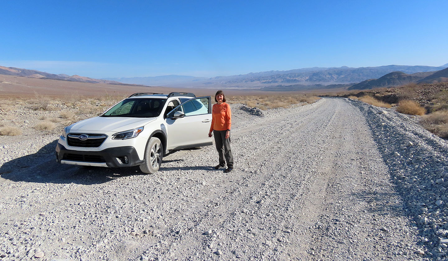
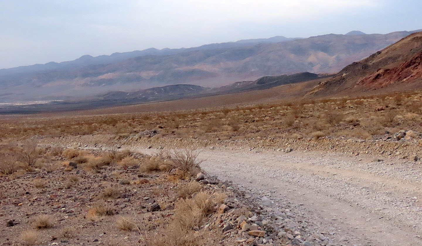
Stopping on Racetrack Valley Road
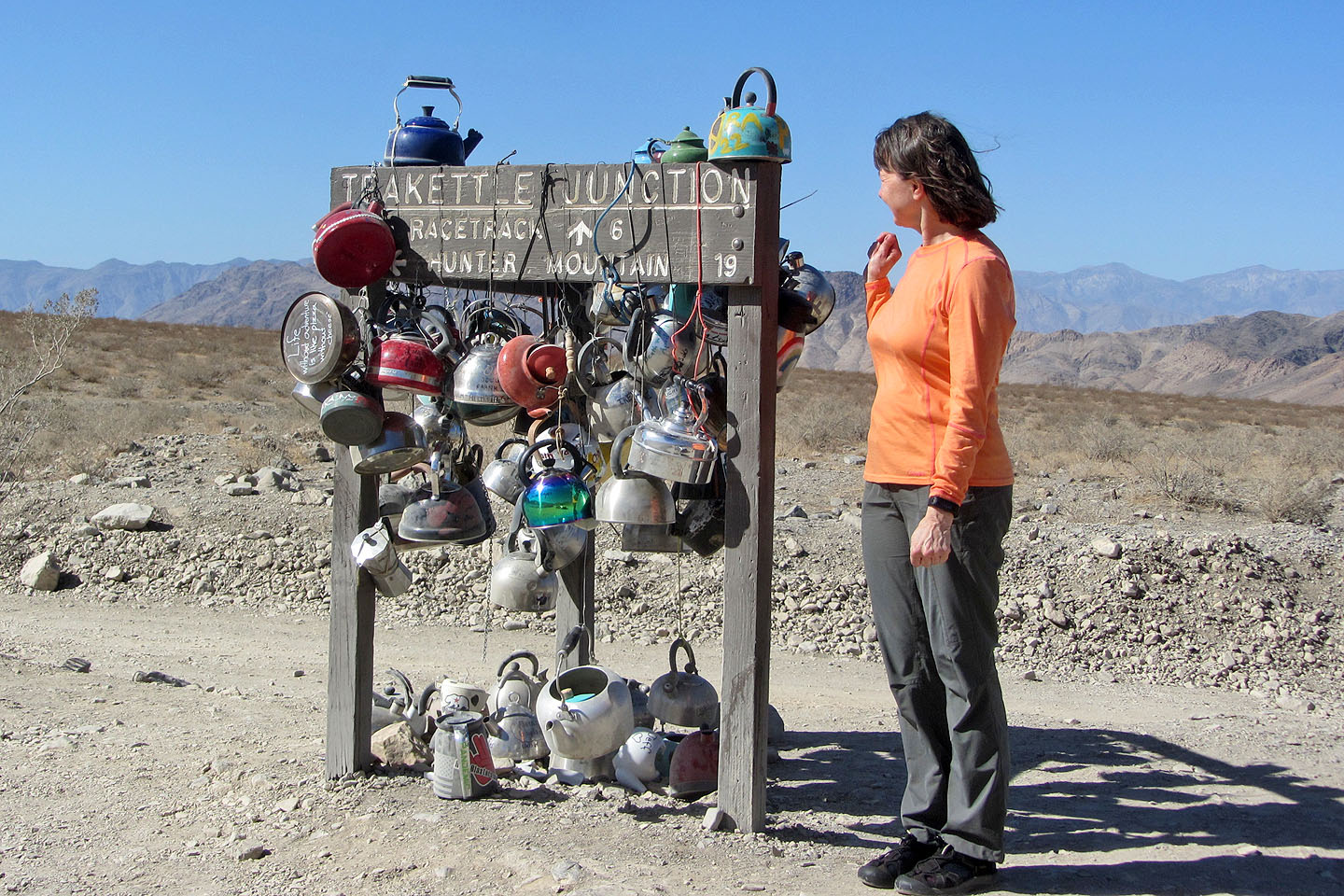
After Teakettle Junction, the road becomes even rougher
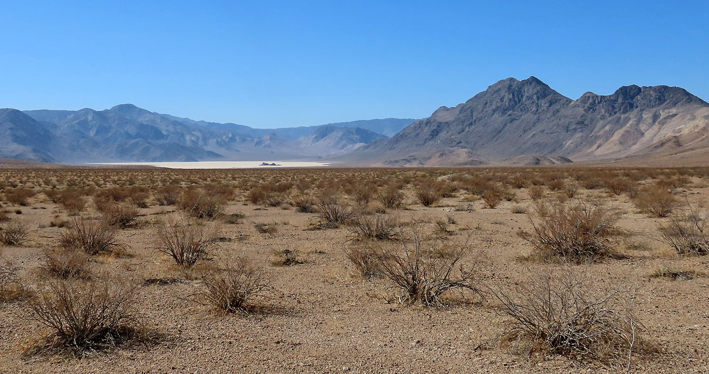
Our first view of Racetrack Playa and Ubehebe Peak
Starting up the trail. Ubehebe Peak is left. Of the two peaks in the middle, Little Ubehebe is right.
The trail leads to the saddle on the right side of Little Ubehebe

A plant is bleached starkly white
 Looking back, the Grandstand makes a nice centrepiece in the playa (mouse over)
 We're well along the trail now
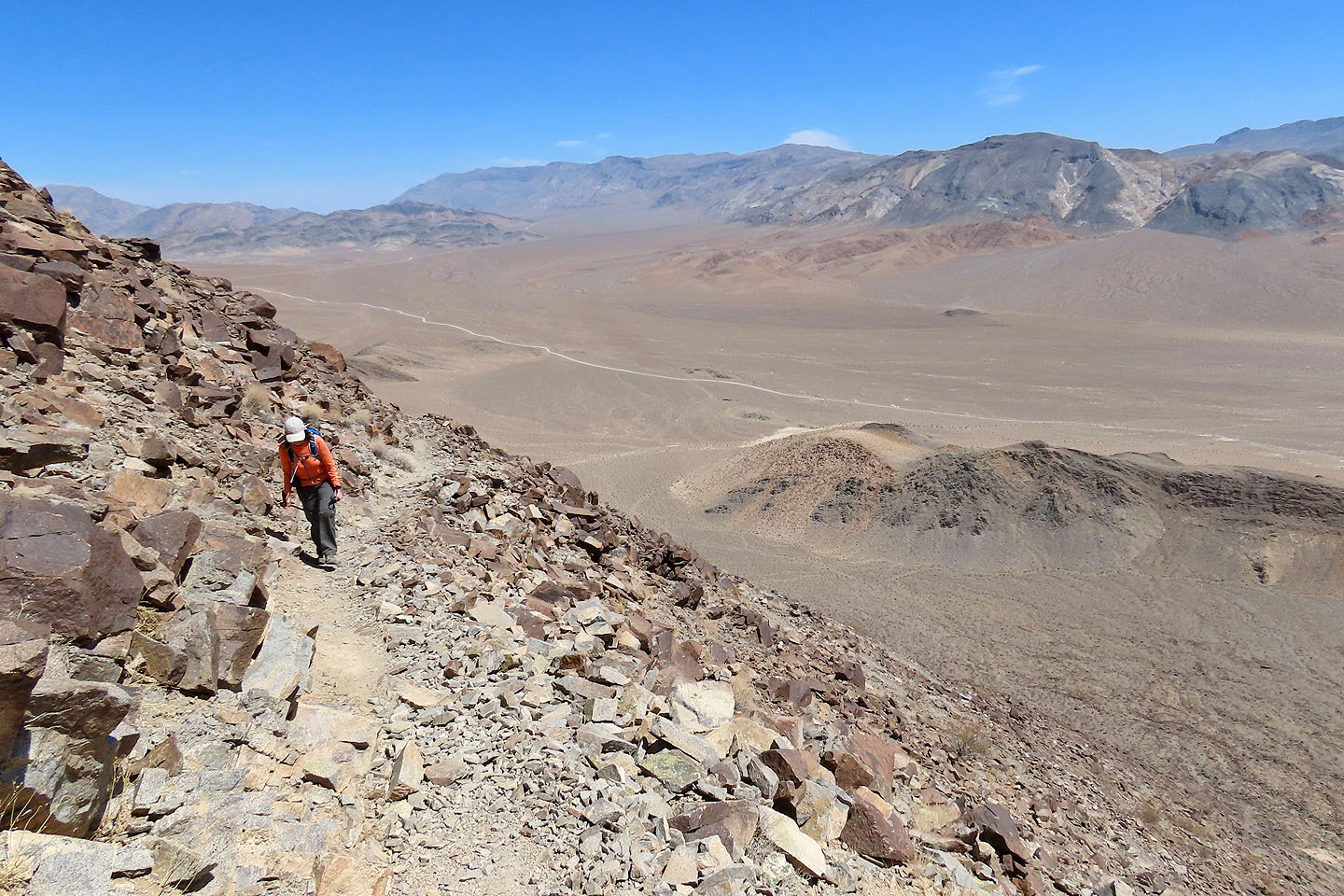
Racetrack Valley Road stretches below
Switchbacks lead to the saddle above
We ignored the path on the right and took the trail towards Little Ubehebe
Looking back at the saddle and switchbacks
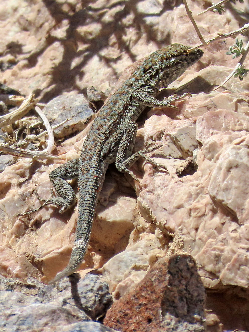
We saw a few small lizards
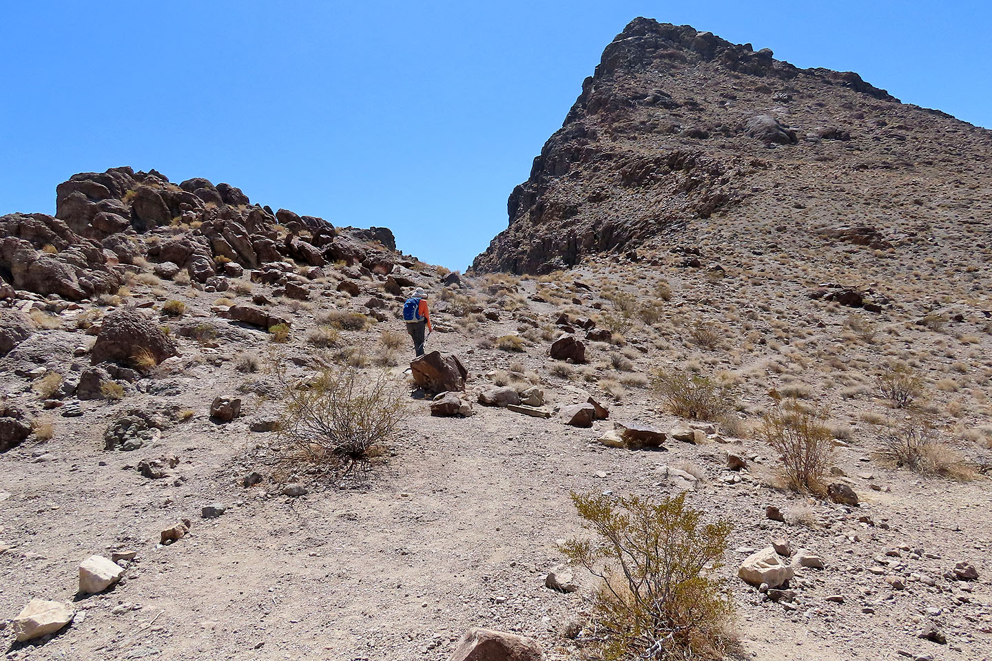
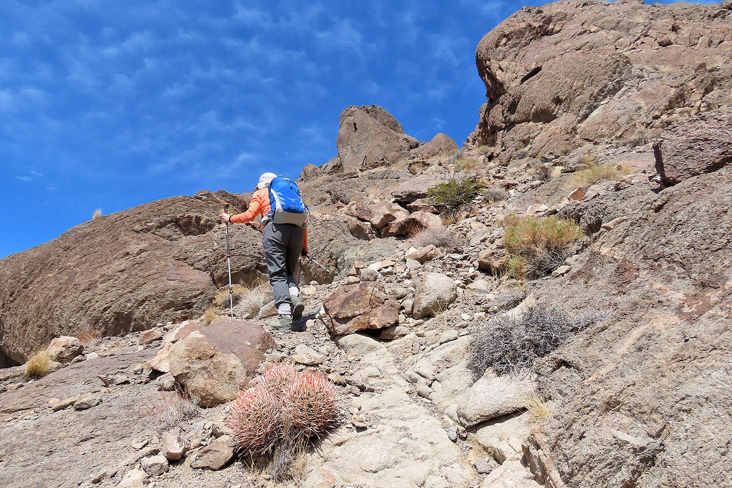
Continuing up the trail
Coming to the col south of Little Ubehebe
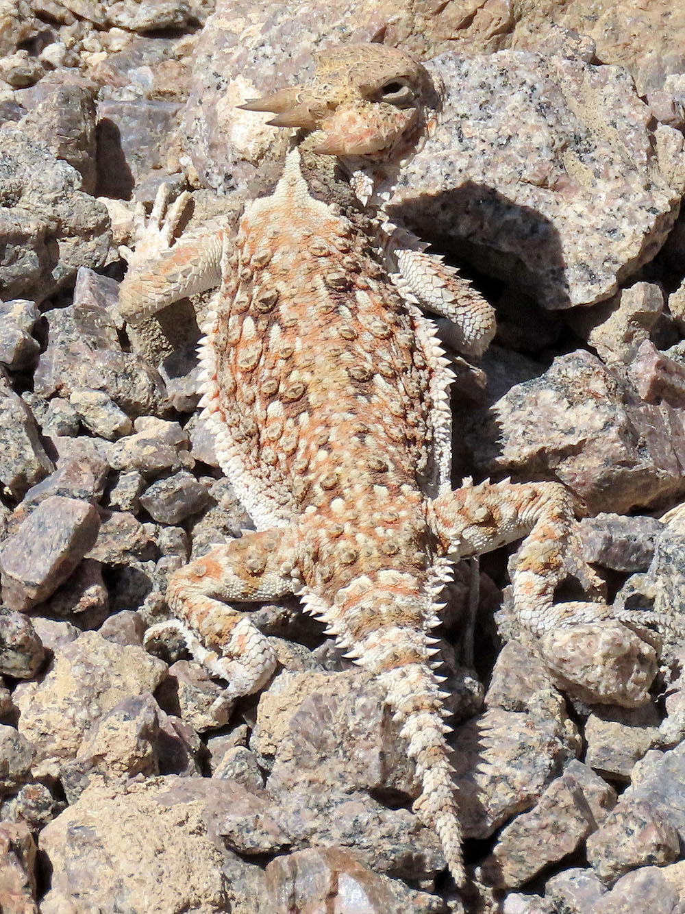
Horned lizard
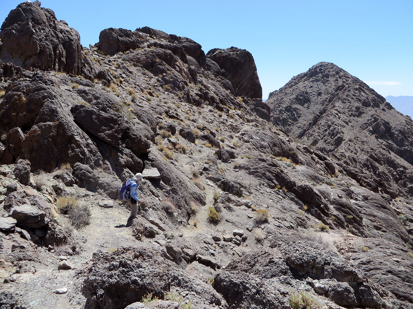
The trail loses 50 m before reaching the col north of Ubehebe Peak
Still going down
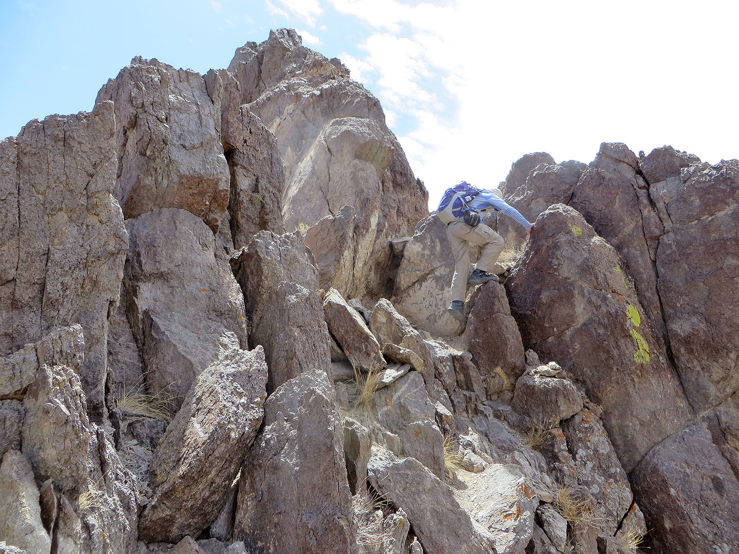
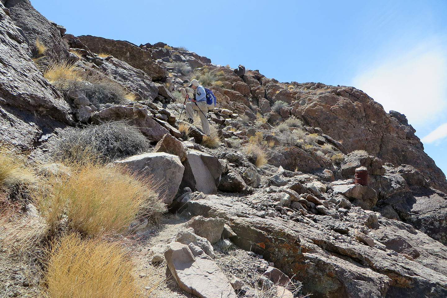
The only place I had to use my hands was at the col and even that was brief
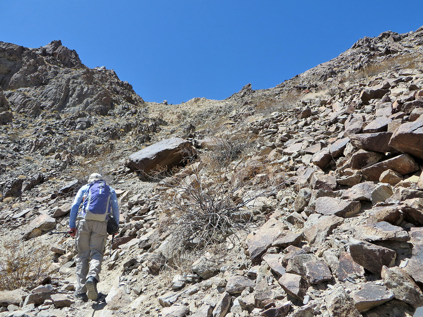
There's a few more boulders to get around

Beavertail cactus
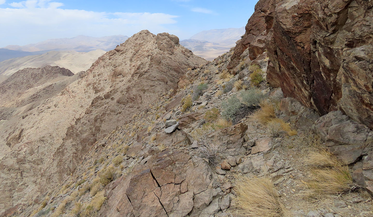
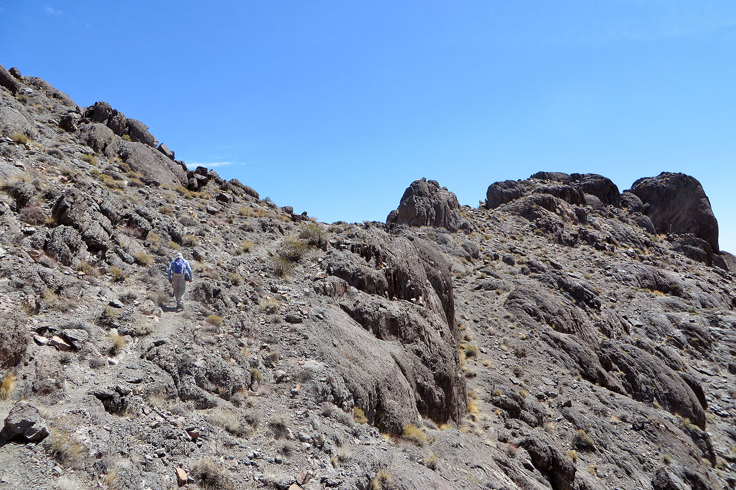
Looking back as the trail follows the slope
The trail in the gully isn't obvious, but crosses to the right before climbing straight up
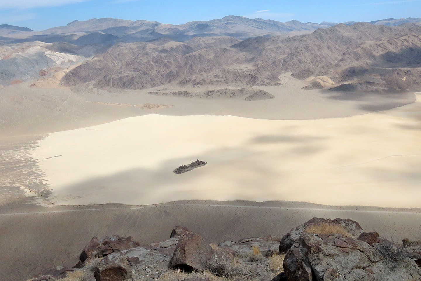
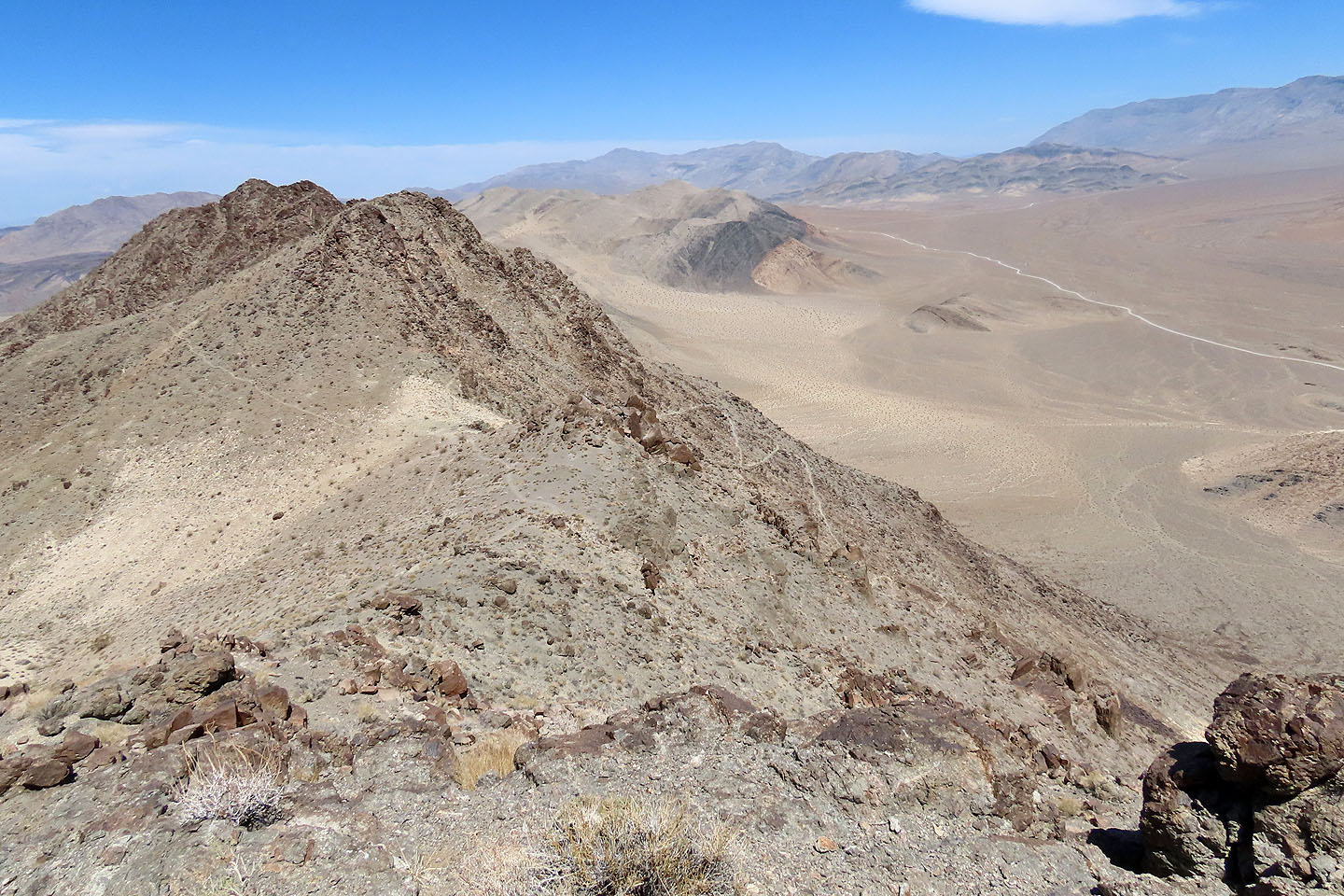
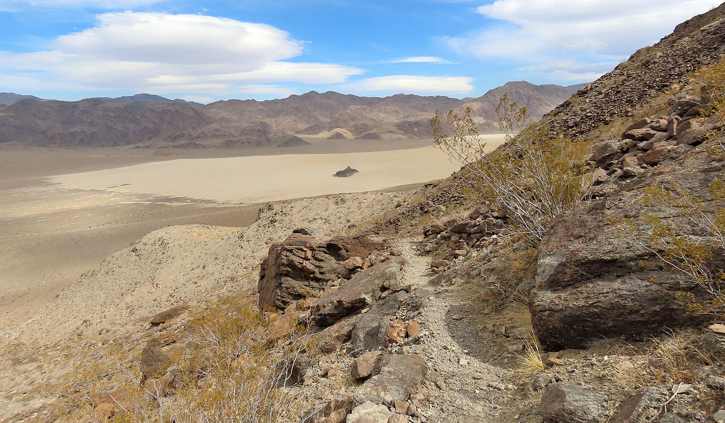
Looking down at the Racetrack from the summit
After returning to Dinah, we climbed Little Ubehebe Peak
A faint trail leads to the top
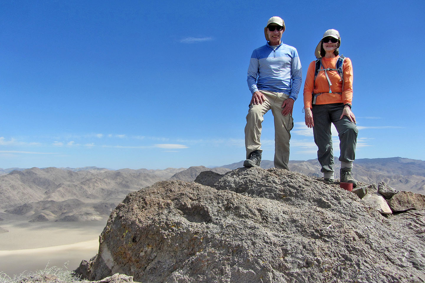
Standing on the summit
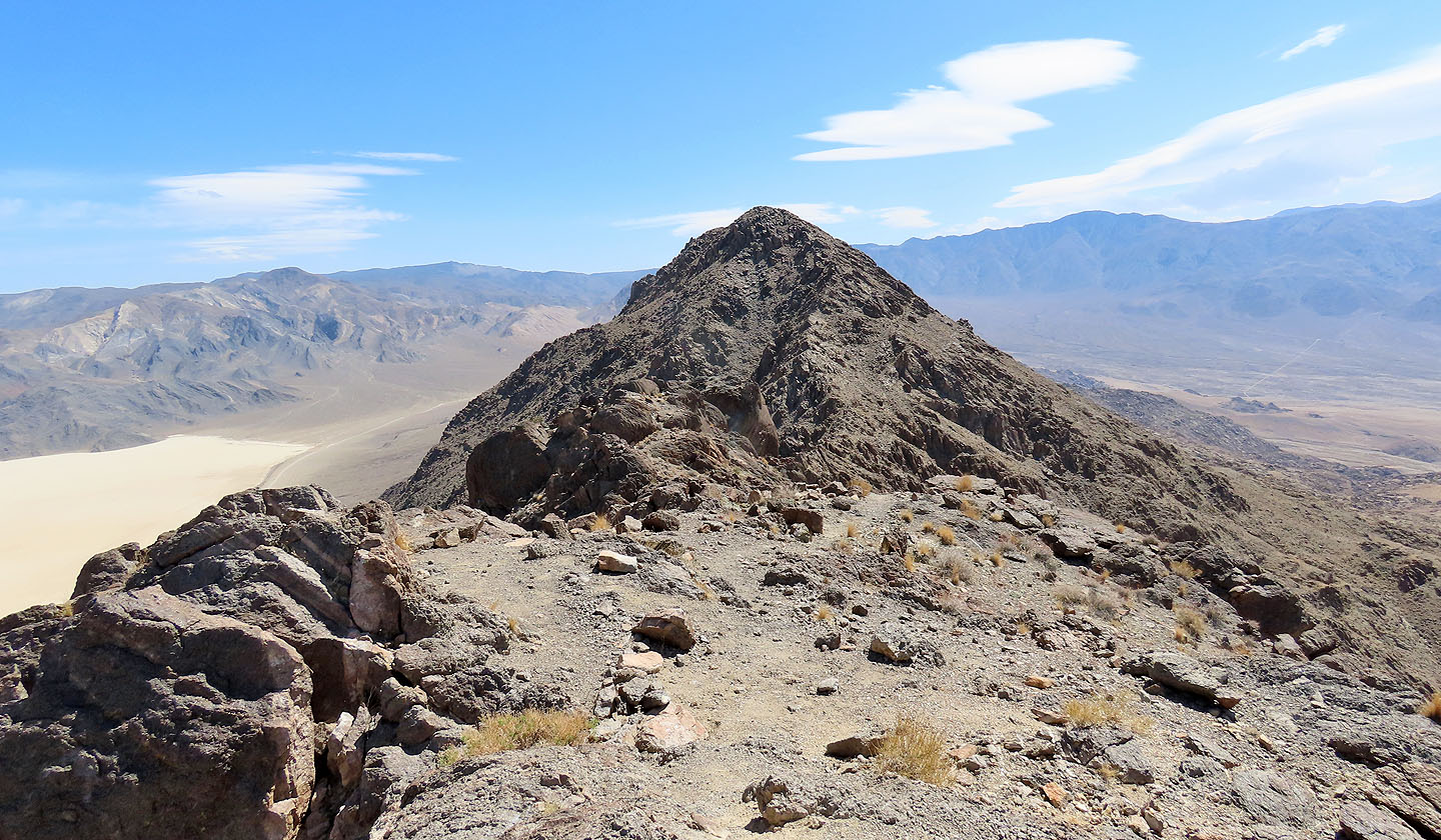
Looking back at Ubehebe
 Heading back down with the Grandstand in the centre (mouse over to see two figures next to it)
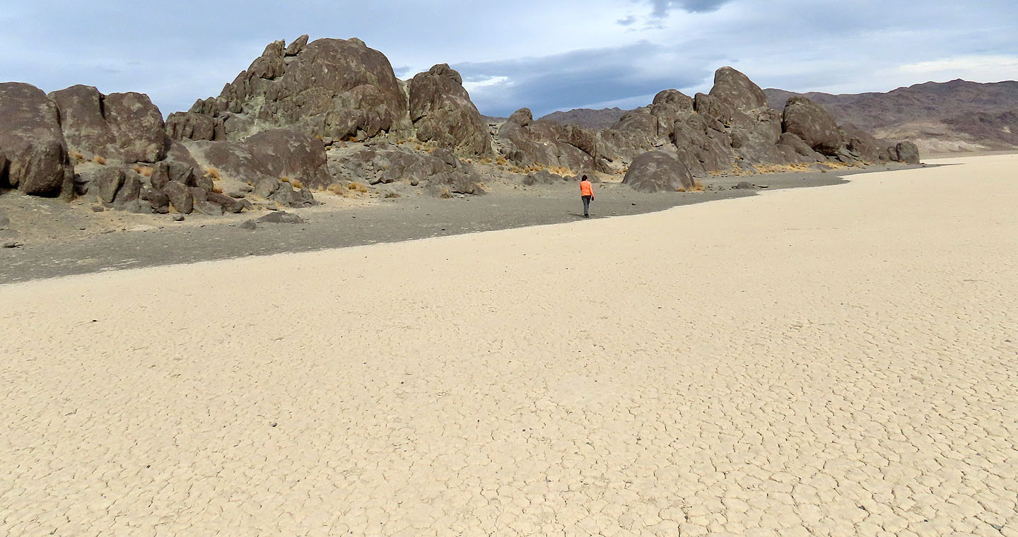
After our hike, we paid a visit to the Grandstand
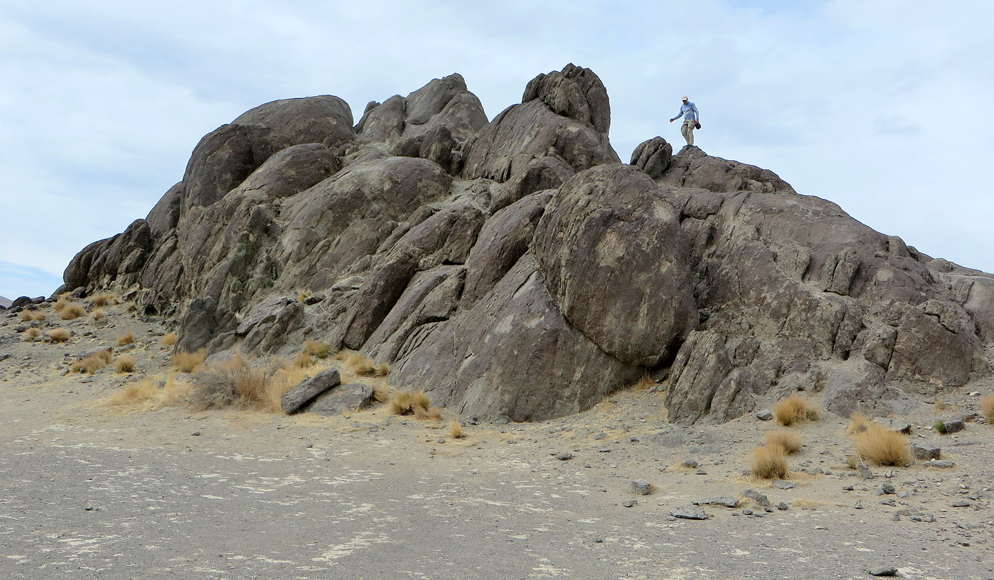
Climbing up the rocks
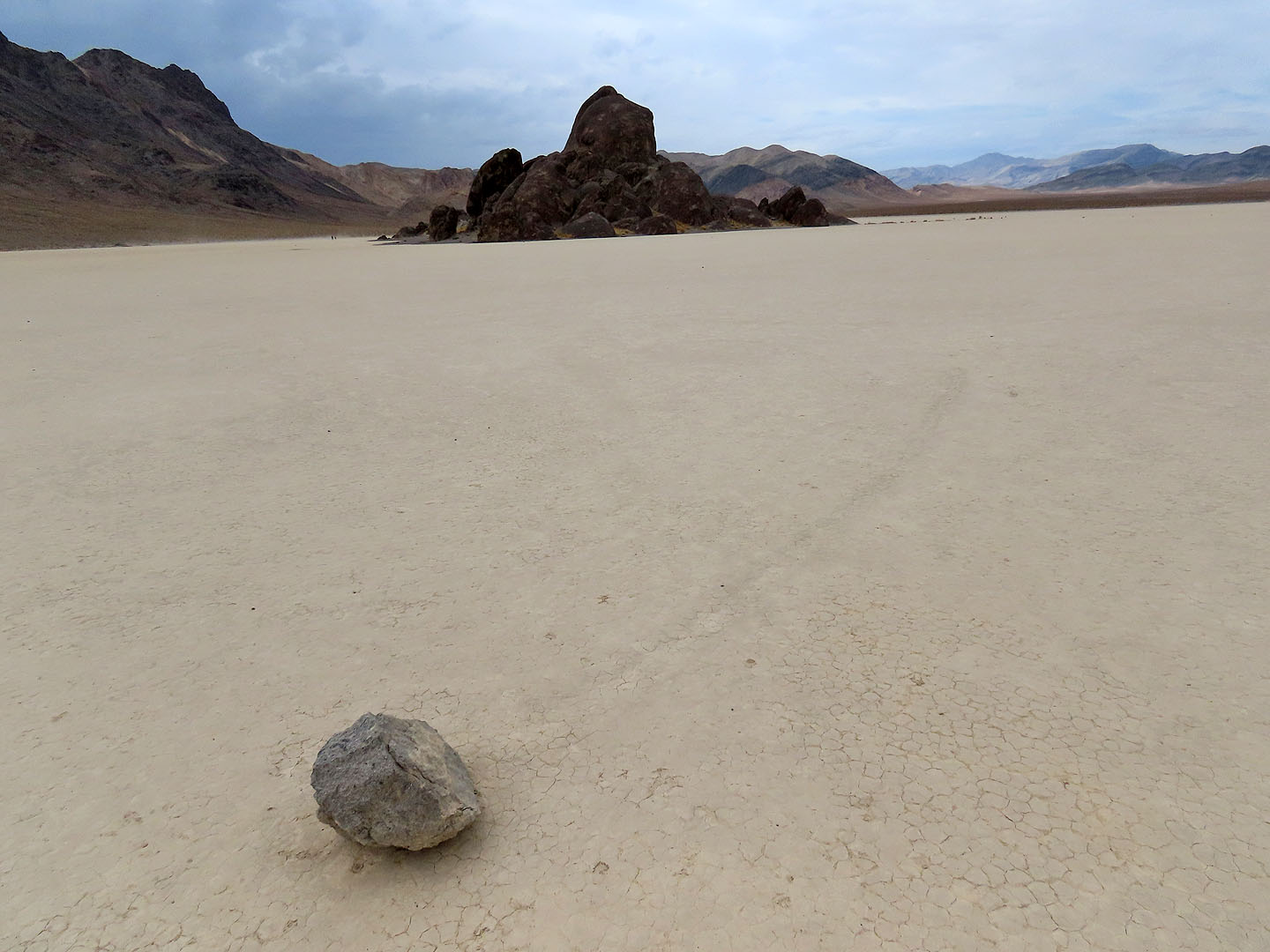
A sailing stone near the Grandstand
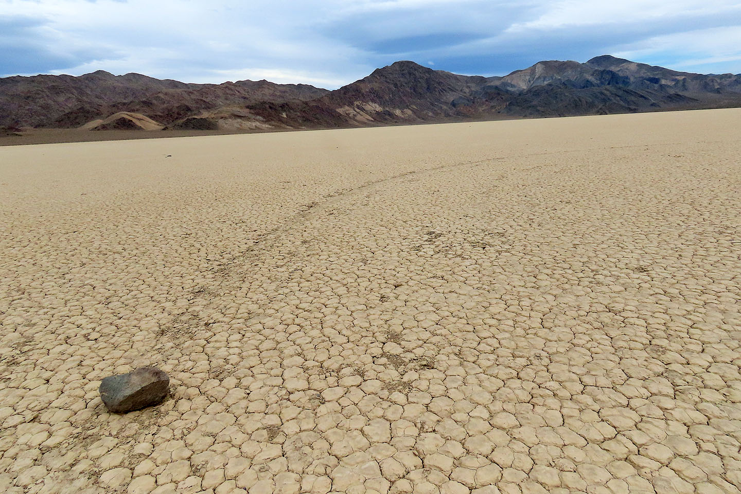
Another sailing stone
Driving back on Racetrack Valley Road, we had a good view of Ubehebe Crater (mouse over) which we hiked the next day
Ubehebe Peak (4.8 mi, 5705 ft, 2008 ft)