bobspirko.ca | Home | Canada Trips | US Trips | Hiking | Snowshoeing | MAP | About
Tim’s Ladder
Desert Hot Springs/Joshua Tree National Park, California
February 12, 2025
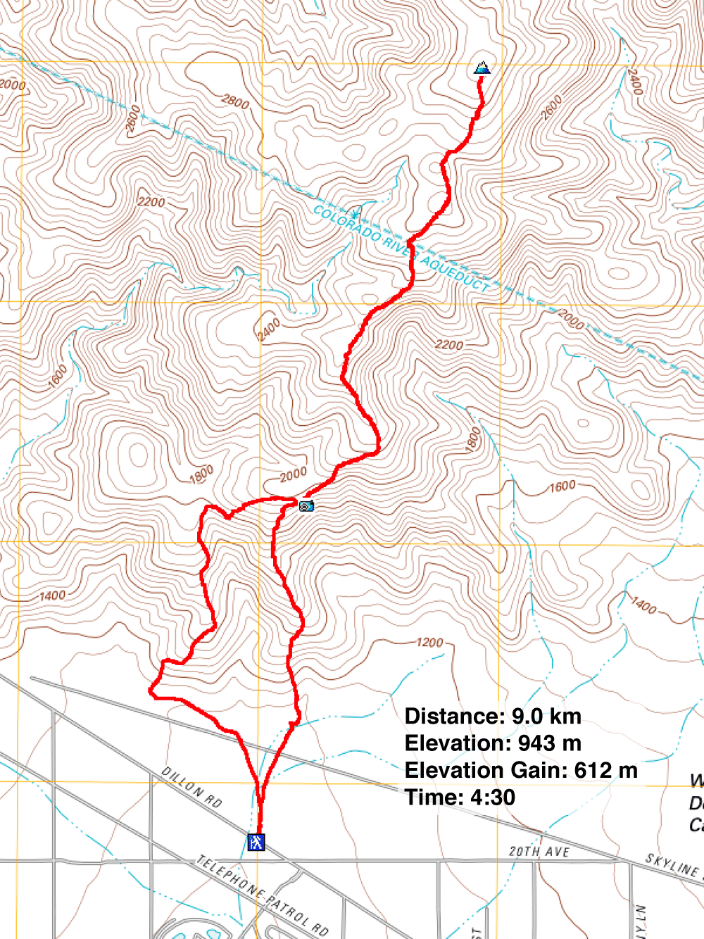
Distance: 9.0 km (5.6 mi)
Cumulative Elevation Gain: 621 m (2037 ft)
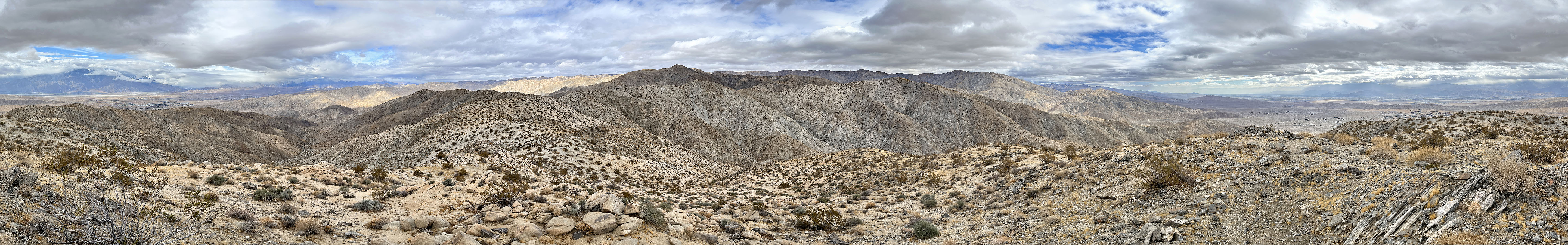
Tim's Ladder Trail is an obscure, yet engaging hike. It has nothing to do with a ladder as far as I could tell, except it does climb. The trail reaches a high point with a gratifying 360° view. Along the trail curious objects caught our eye including a variety of rock art, a small statue and a stone monument.
The towering monument is a tribute to several countries, including Canada which Dinah and I, as Canadians, found interesting. The unusual flag at the top of the monument was half Canadian and half American: the Maple Leaf alongside the Stars and Stripes. We've never seen such a flag before nor spotted a Canadian flag while hiking in the U.S. (For more info, see HikingGuy's Tim's Ladder Trail.)
It was a cool, cloudy, windy day when we did the hike, but it was the best of three days. The day before saw strong winds that produced a dust storm unlike anything we've seen before, while the following day, it rained off and on.
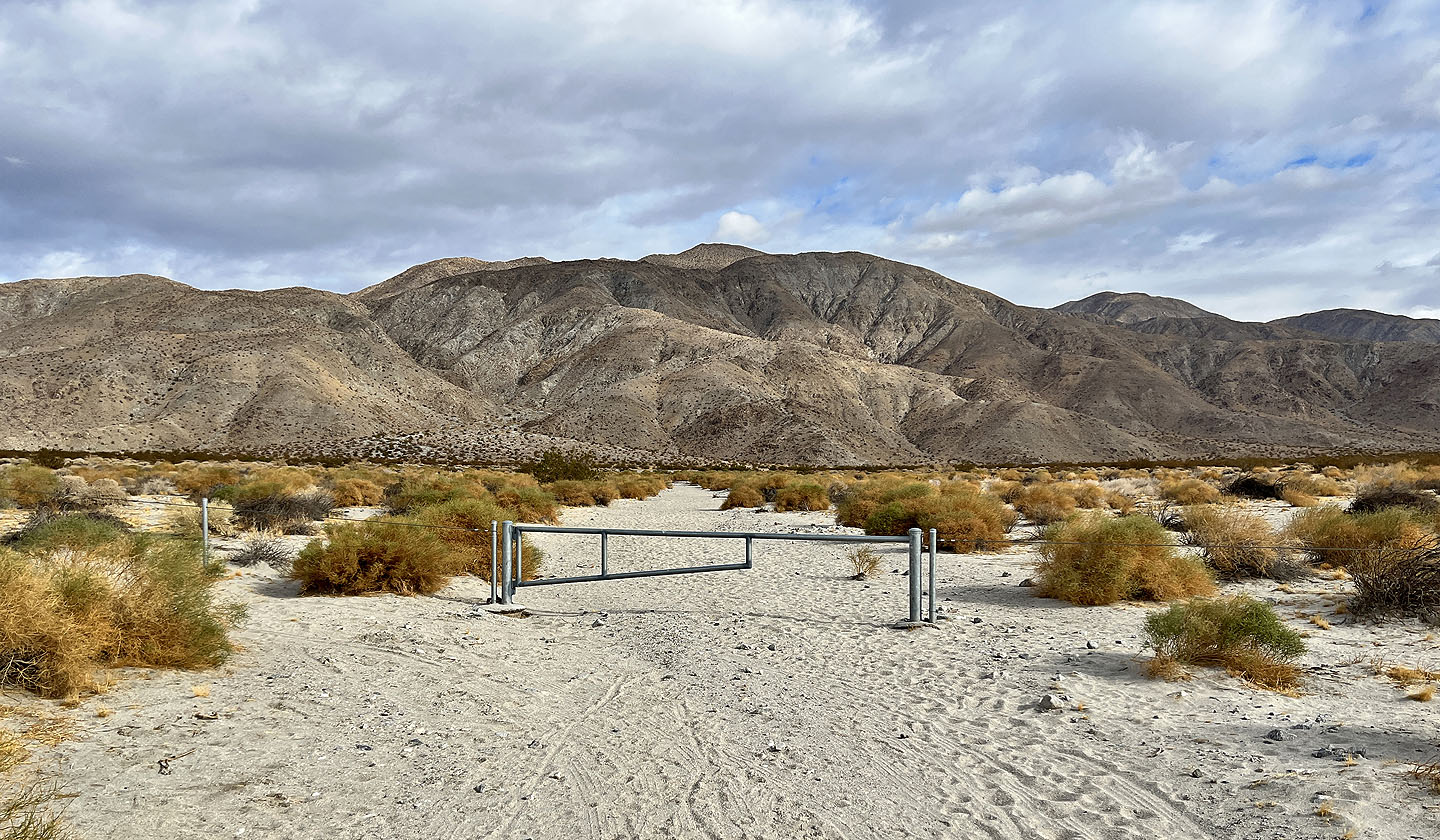
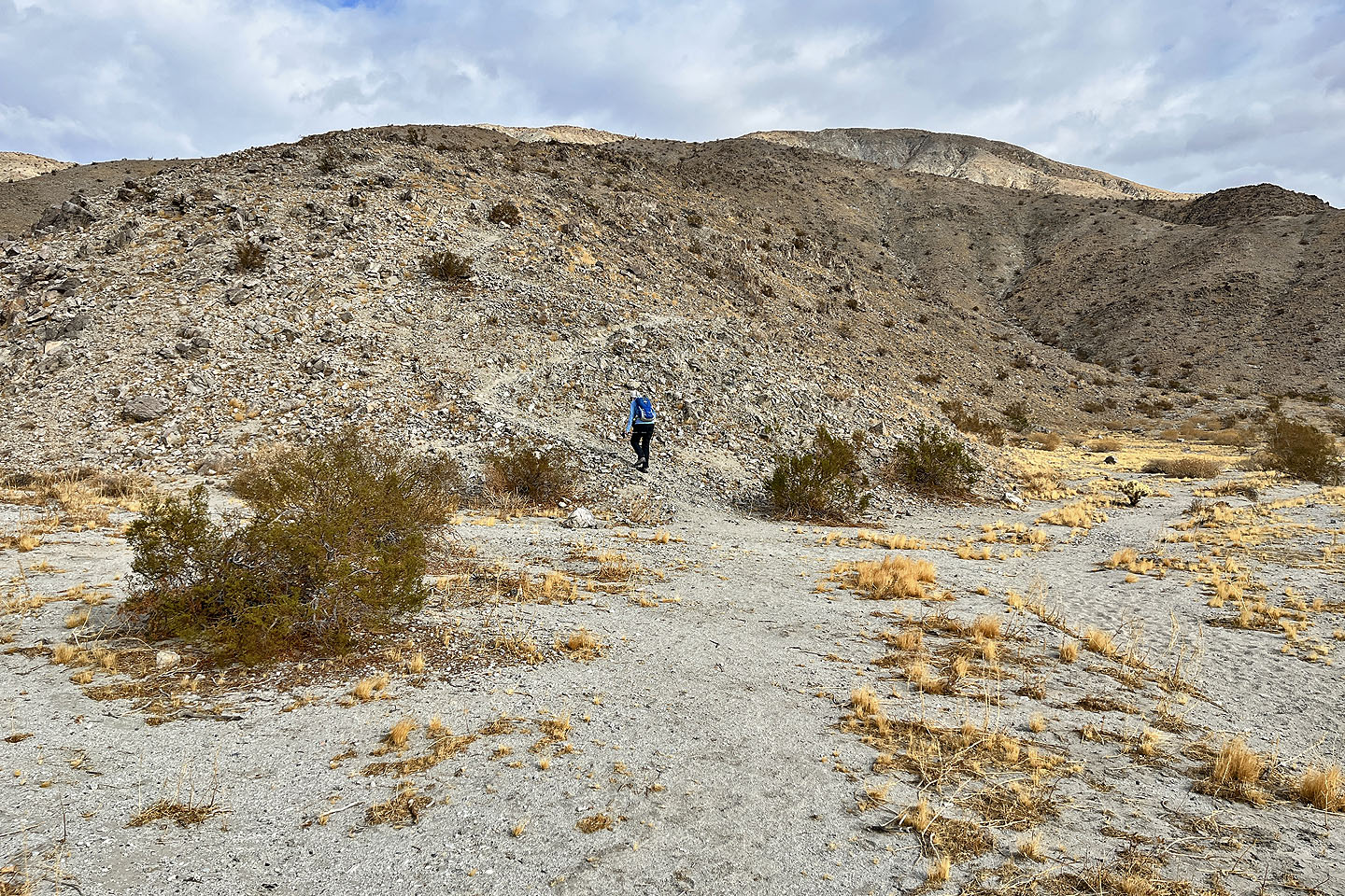
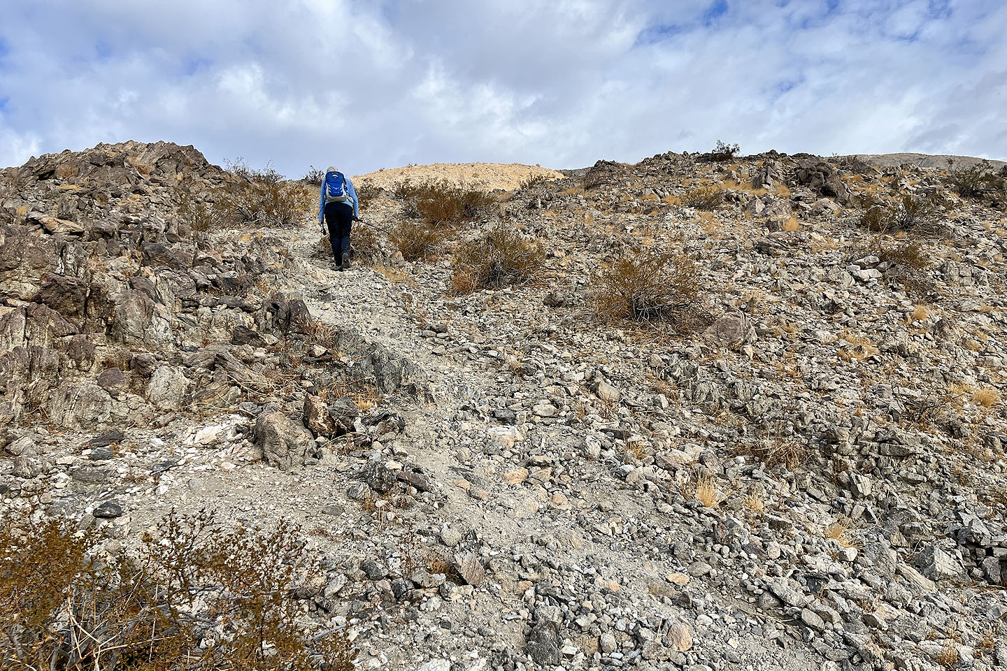
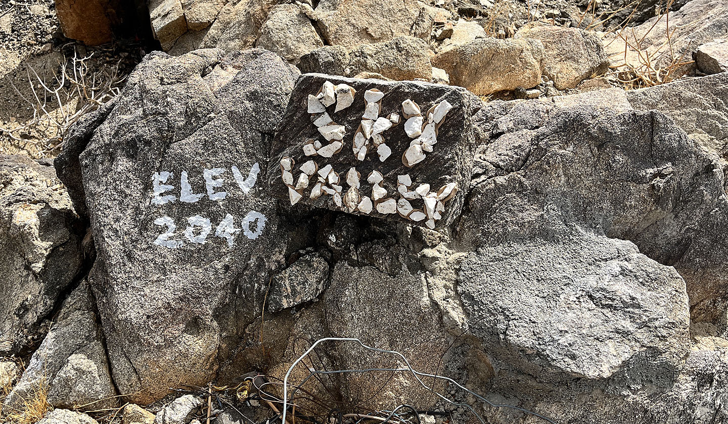
After parking on the roadside, we hopped a gate and started up a wash/road. After walking 250 m, we followed a path up a ridge. At first the trail was steep and bedevilled with loose rock, more of an issue coming down than going up, but the trail eventually became gentler. Before reaching the monument, we passed elaborate rock art, stones arranged in letters or circles. Rock art also appeared next to the monument along with unusual items.
After visiting the monument, we continued up the trail, following a ridge that slightly twisted and undulated. We passed more rock art as well as witness posts, survey markers predating GPS. We also passed a metal post that marked our entry into Joshua Tree National Park.
We finally reached a high point. I think of it as the summit, but maybe it's the top rung of Tim's Ladder? Regardless, we had fine views all around. The trail ended here although it's possible to continue along the ridge to other points.
It was too cold and windy to linger, and we soon started back down. We followed the trail back to the monument. Nearby there's a fork. Left returned on the trail we came up; the trail on the right followed a different ridge down. The descent trail was longer, and it, too, displayed rock art. When we reached the bottom of the ridge, we turned left and started down a dirt road. Soon we were back in the wash we had started up, finishing an unusual but enjoyable hike.
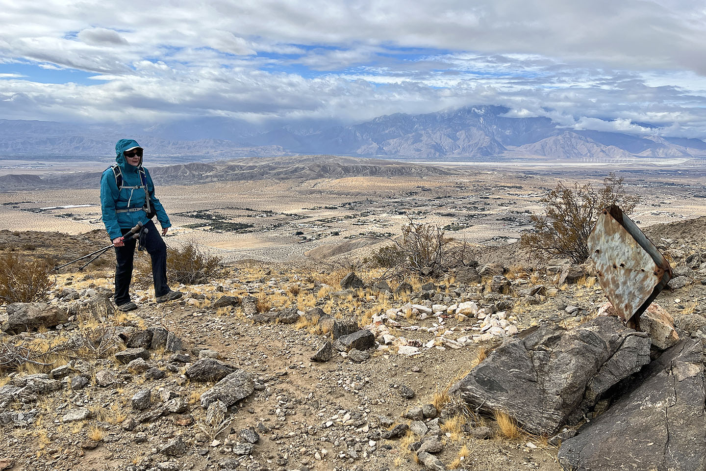
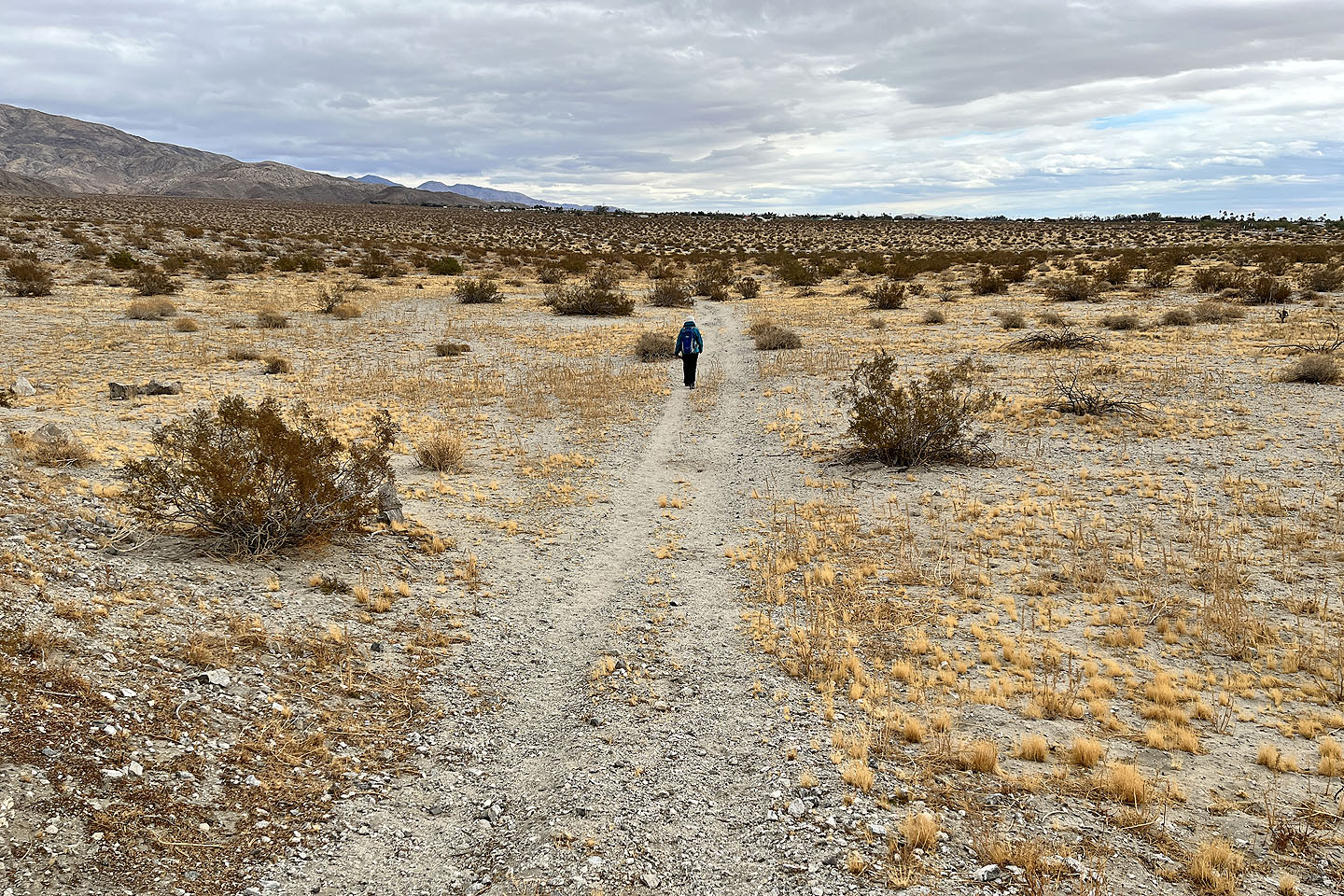
 View from the trailhead
 Starting up the ridge. Barely visible, the monument is directly above Dinah (mouse over)
 There's lots of loose rock at first, but the trail improved as we climbed
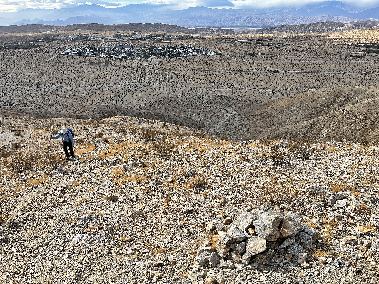 Below is the wash we followed. In the background: Sky Valley Resort was started by Tim and his wife.
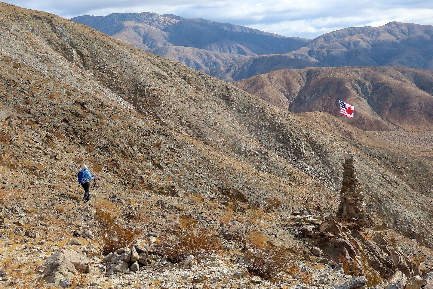
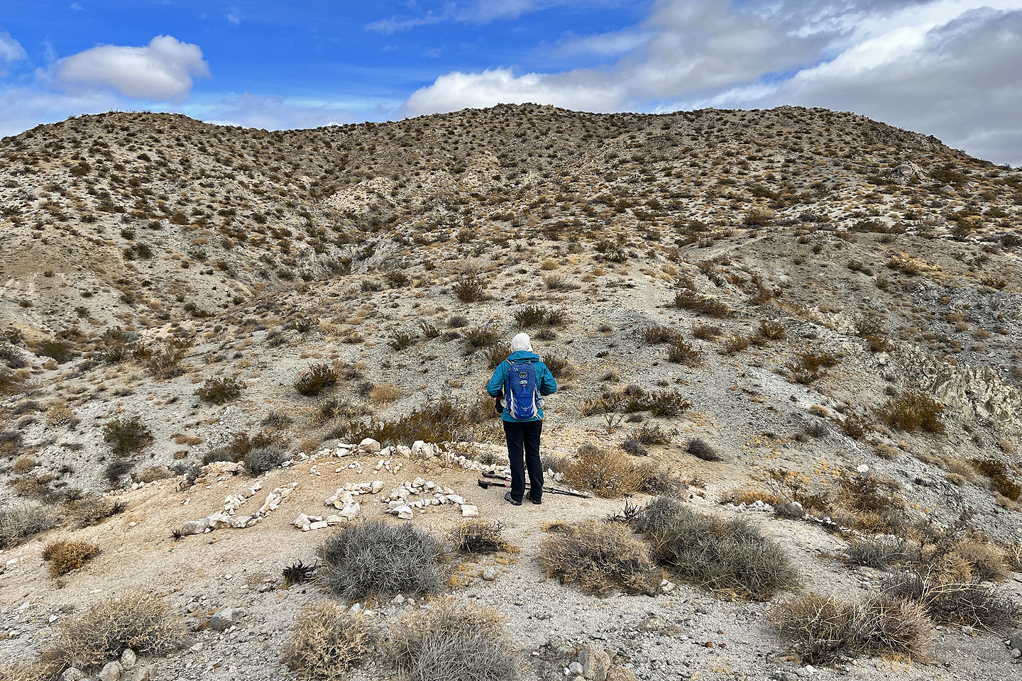
 The trail leads to the monument on the right
 Not sure what the dark rocks mean, but the white arrow points the way
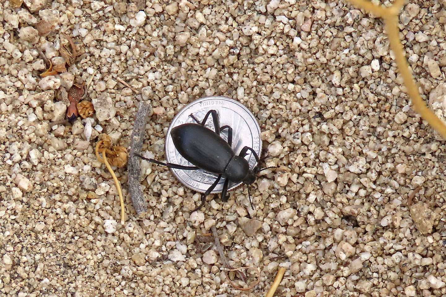 A pinacate beetle crawled over my quarter
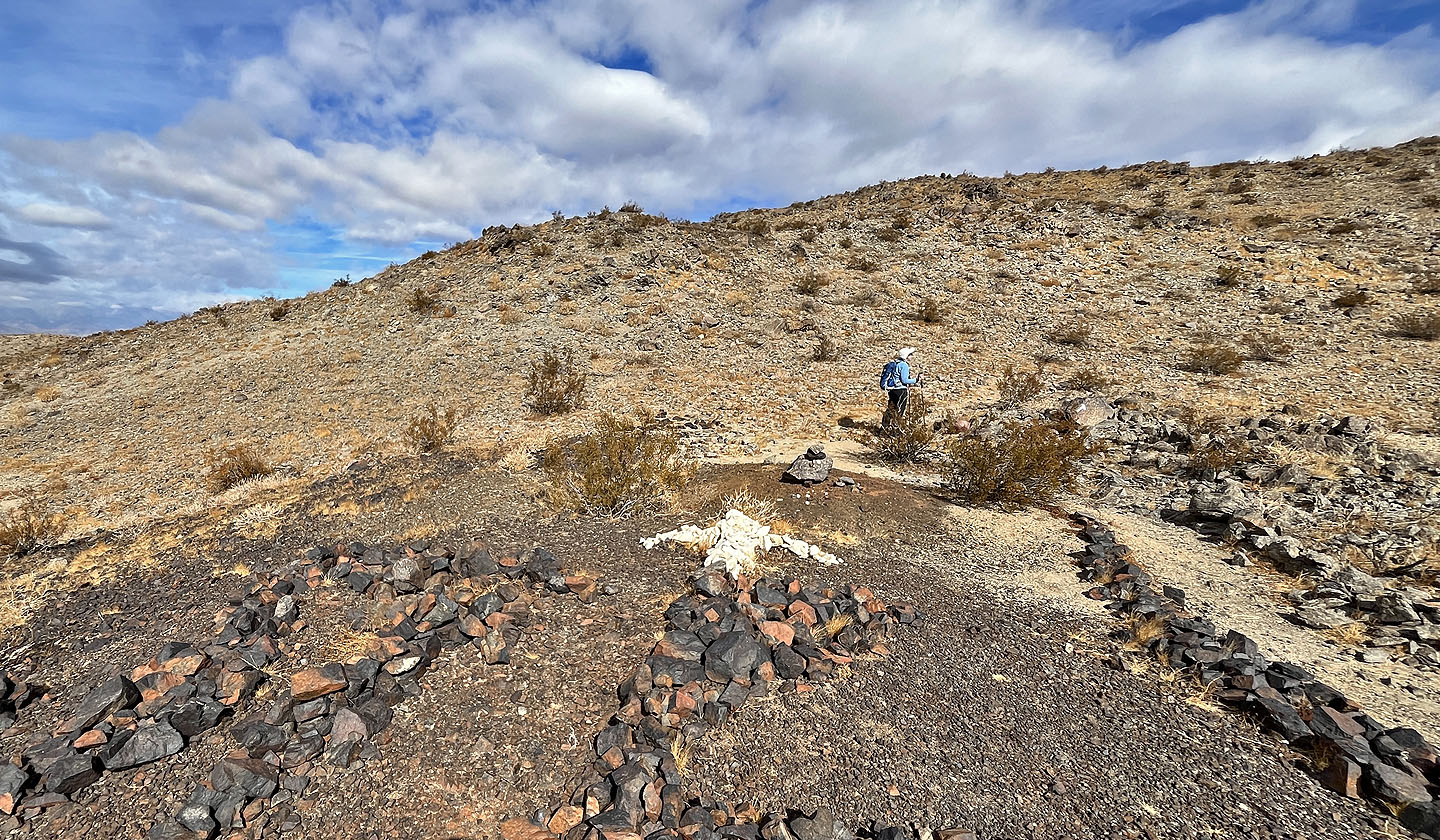
 We went down to view the monument
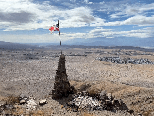 The hybrid flag reflected the friendly relationship that Canada and the U.S. once had
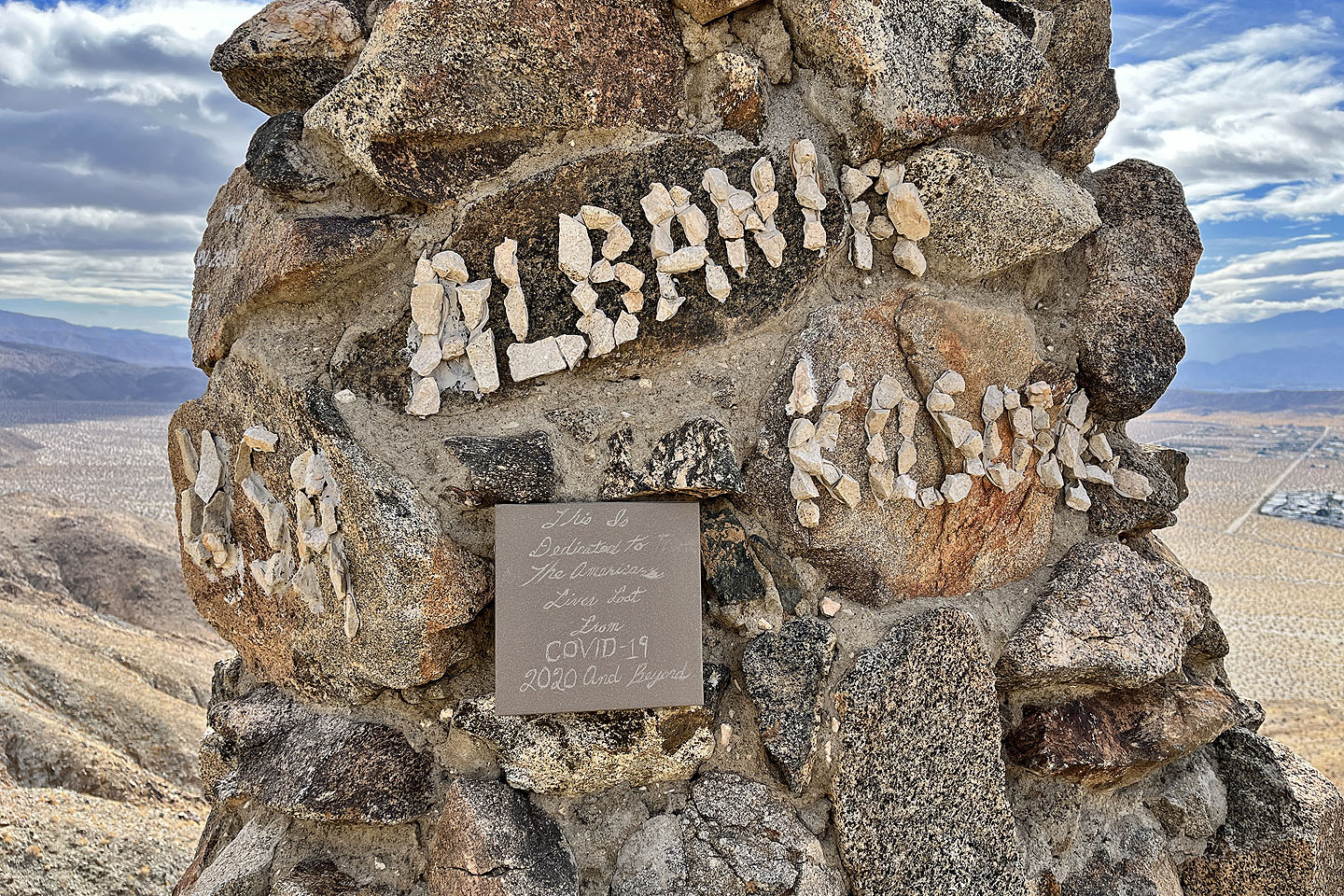 Tributes on the monument
 There's a jar but it was empty
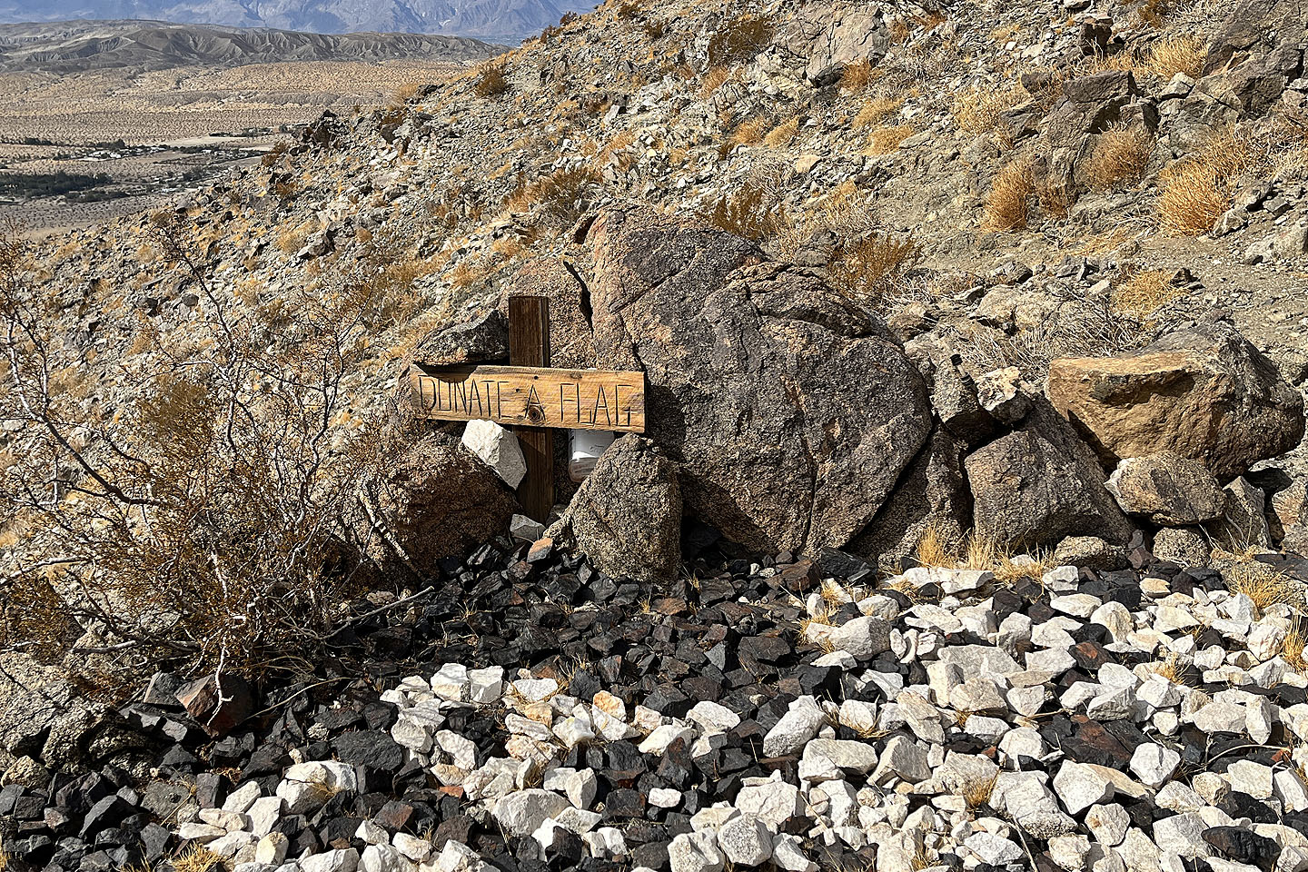
 Other things by the monument
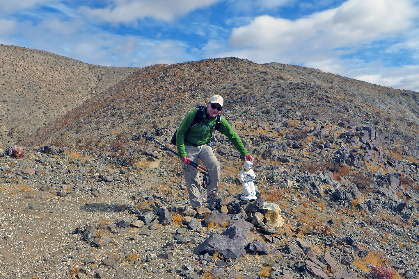 Nearby was a tiny statue. I held the head as it had broken off.
 We continued up the trail. Mouse over to look back.
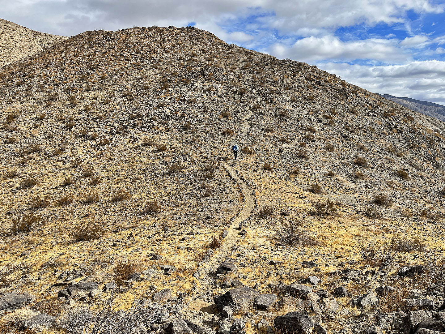
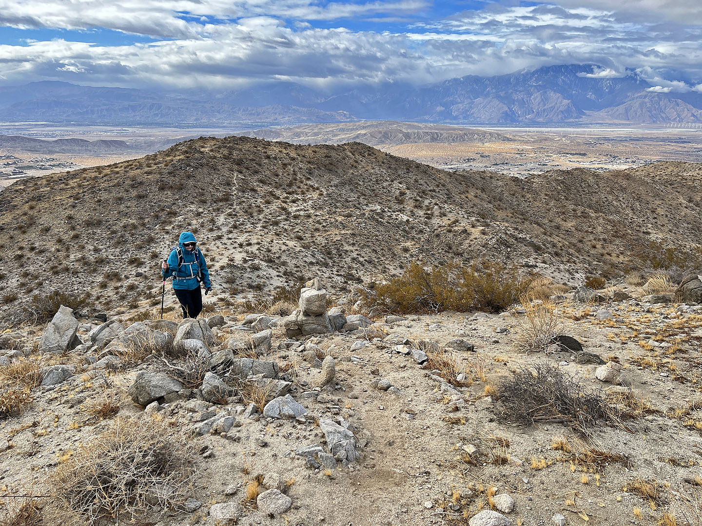
 The trail continues up the ridge
 We passed witness posts, old survey markers
 Looking back at one of the dips along the trail
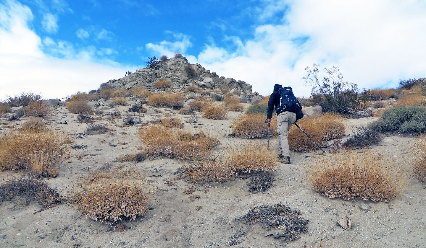
 The next landmark on the trail was a pile of rocks seen on the skyline
 The rock pile is a natural feature
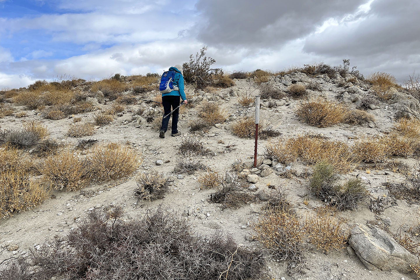 A post indicates we're entering Joshua Tree National Park
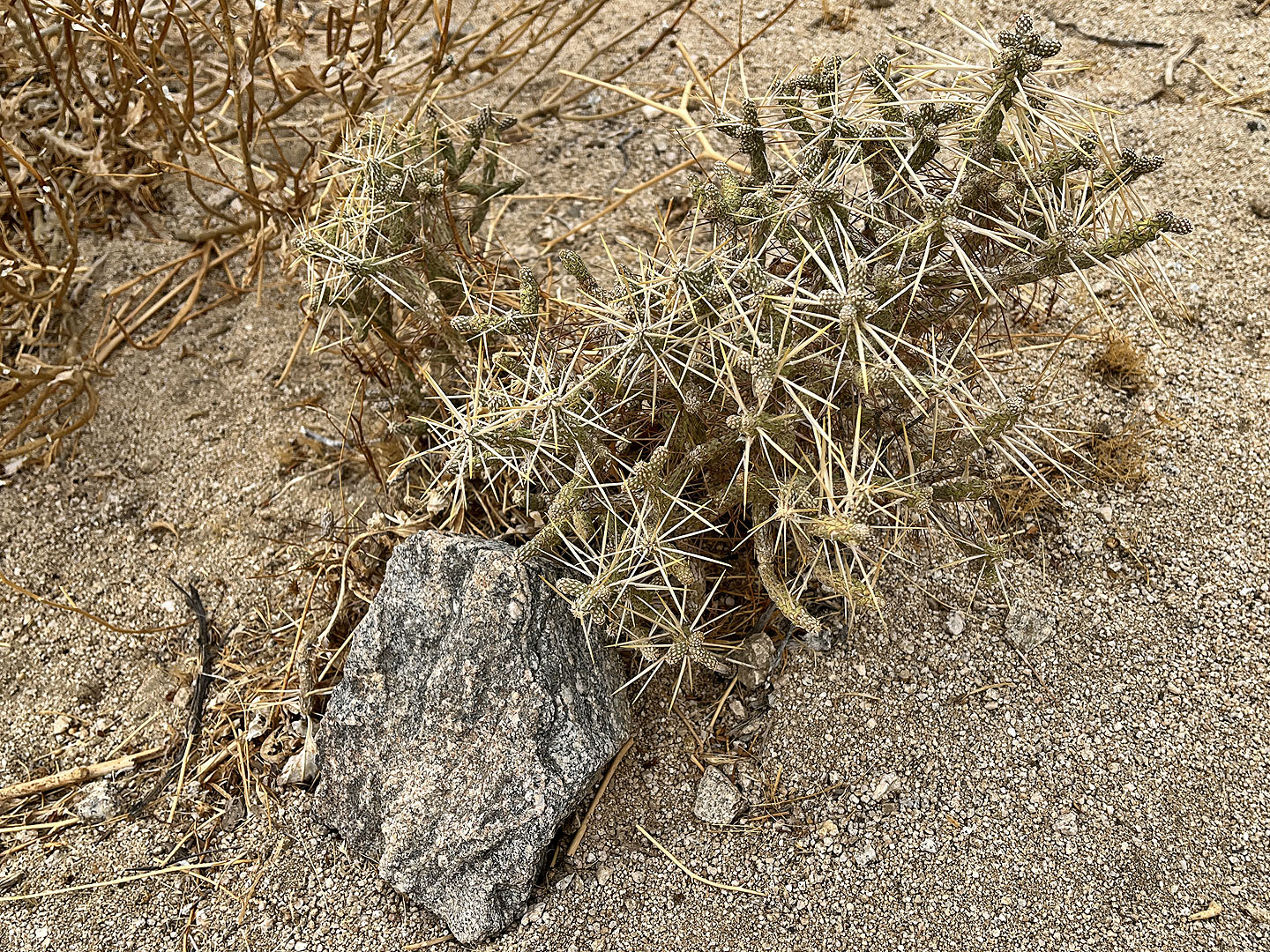 Pencil cholla
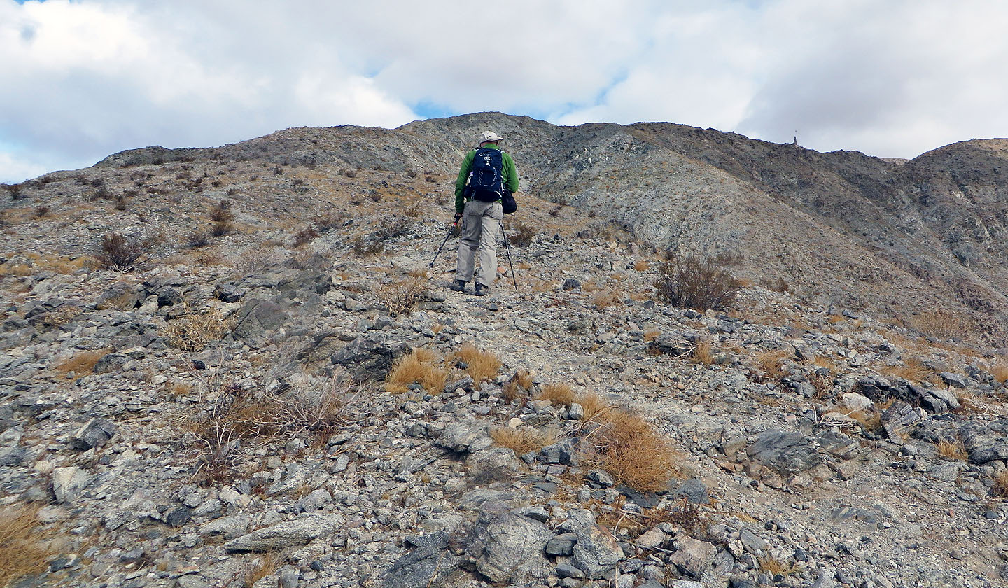
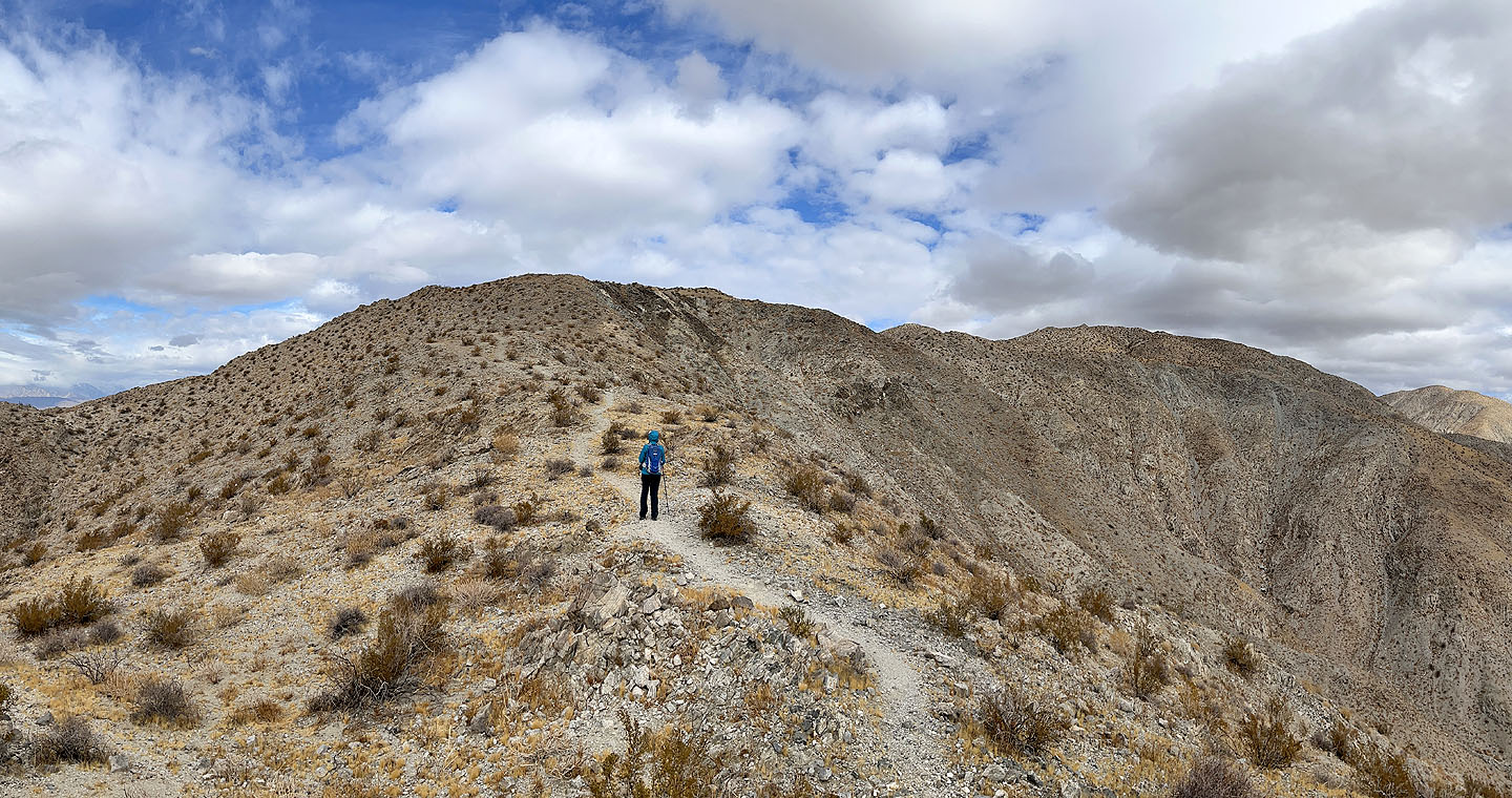
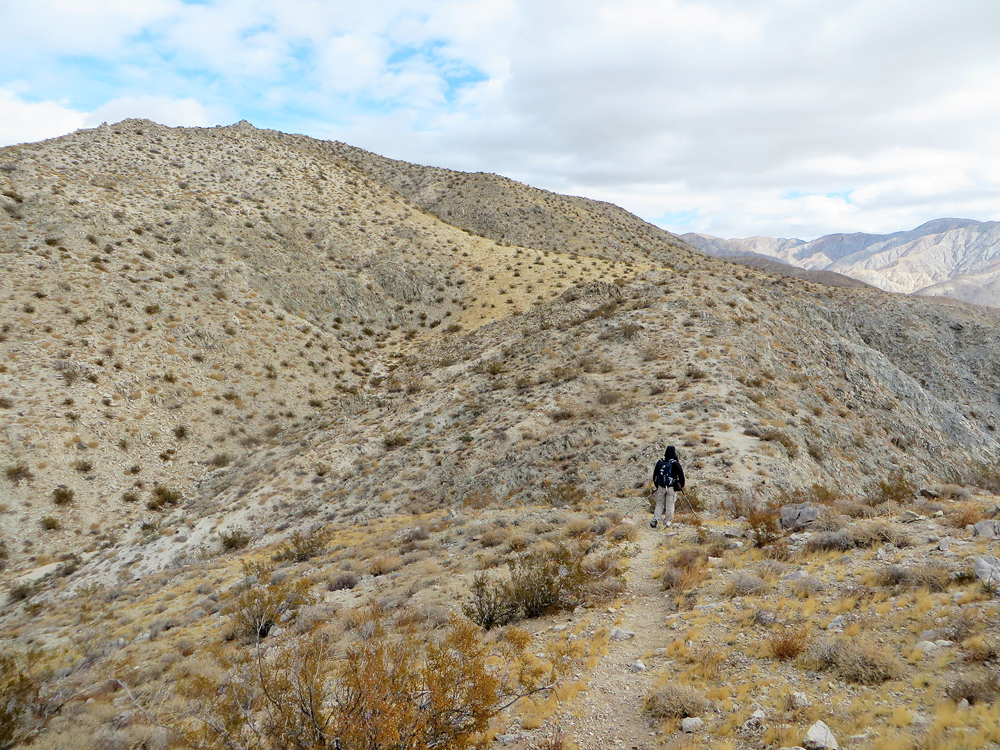
 The summit ridge appears left in the distance
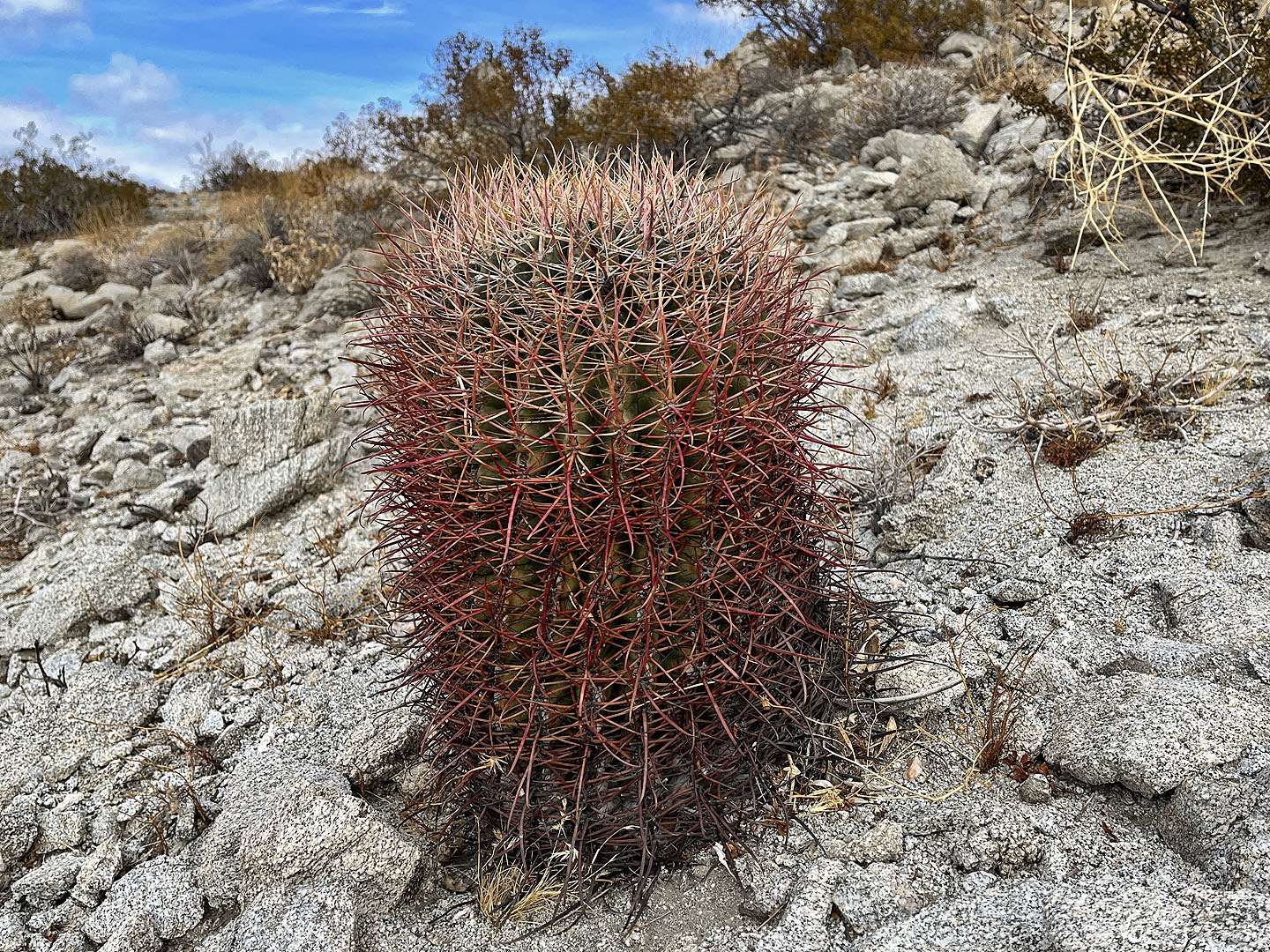 Barrel cactus
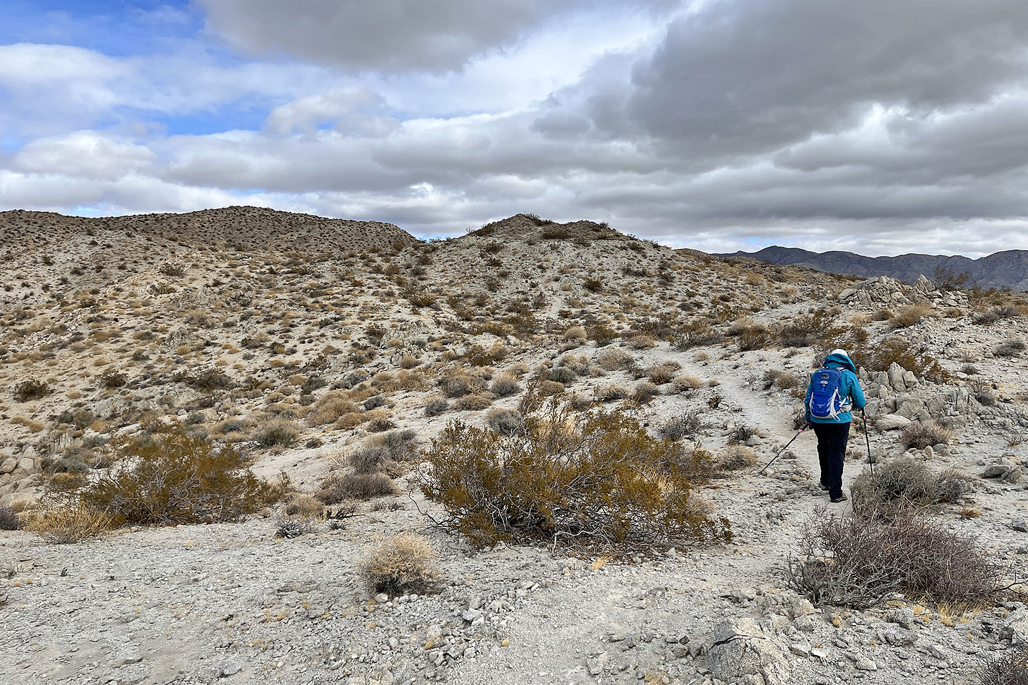
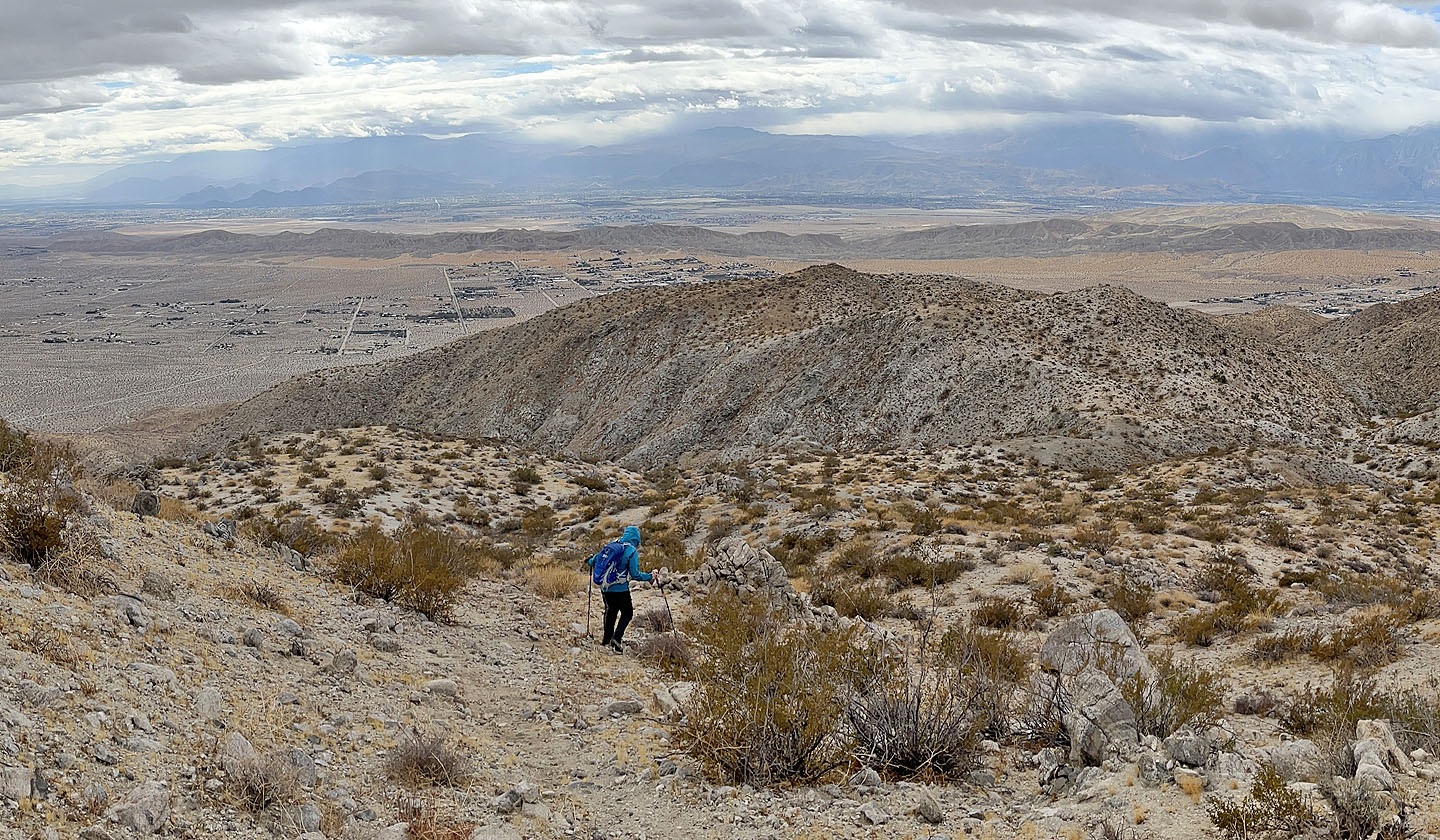
 The summit lies left, just beyond the ridge ahead
 Looking back as we headed to the summit
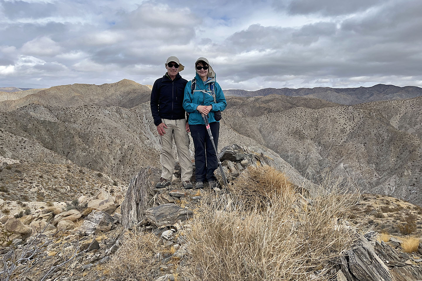 Standing on the top
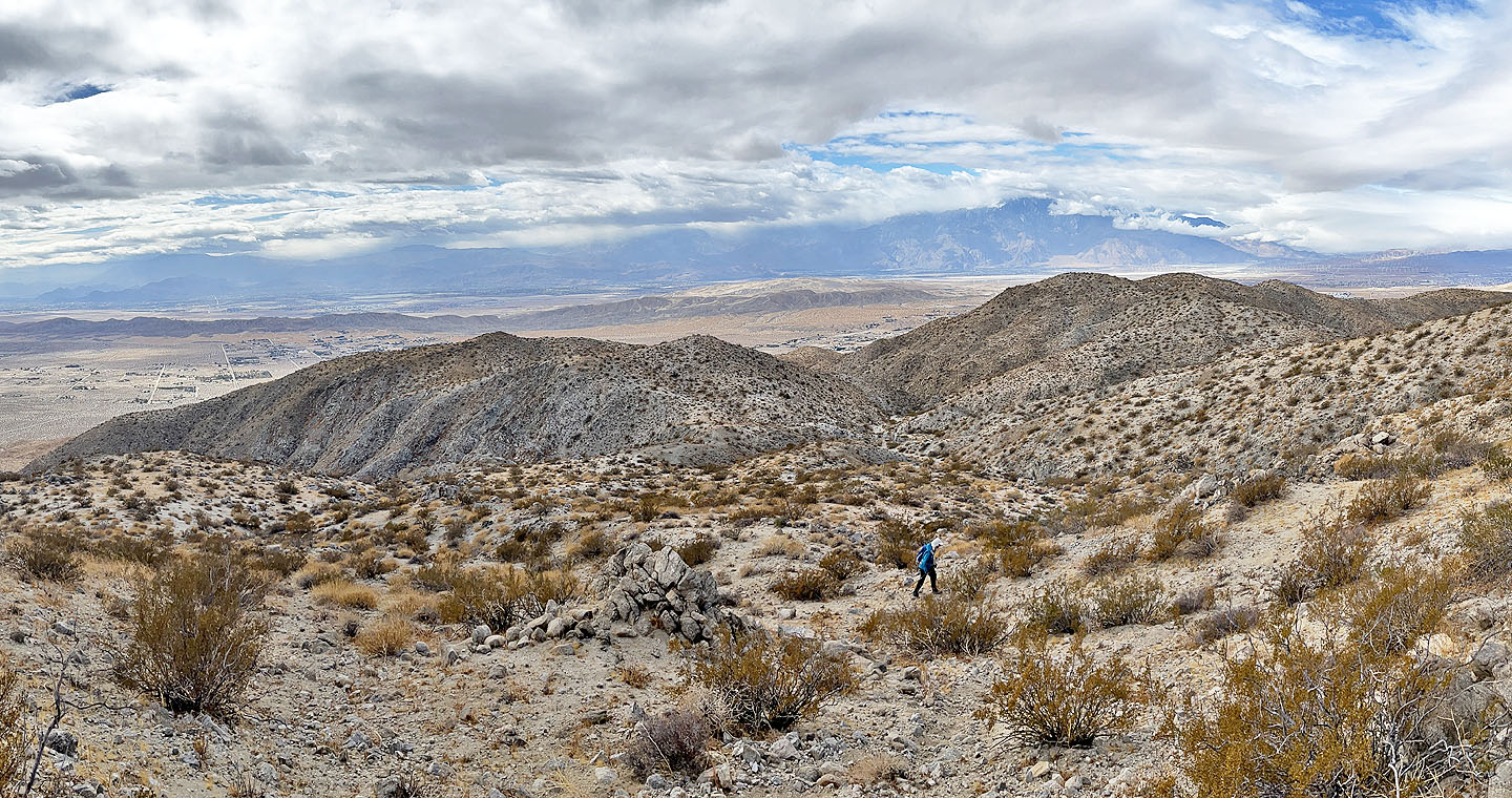
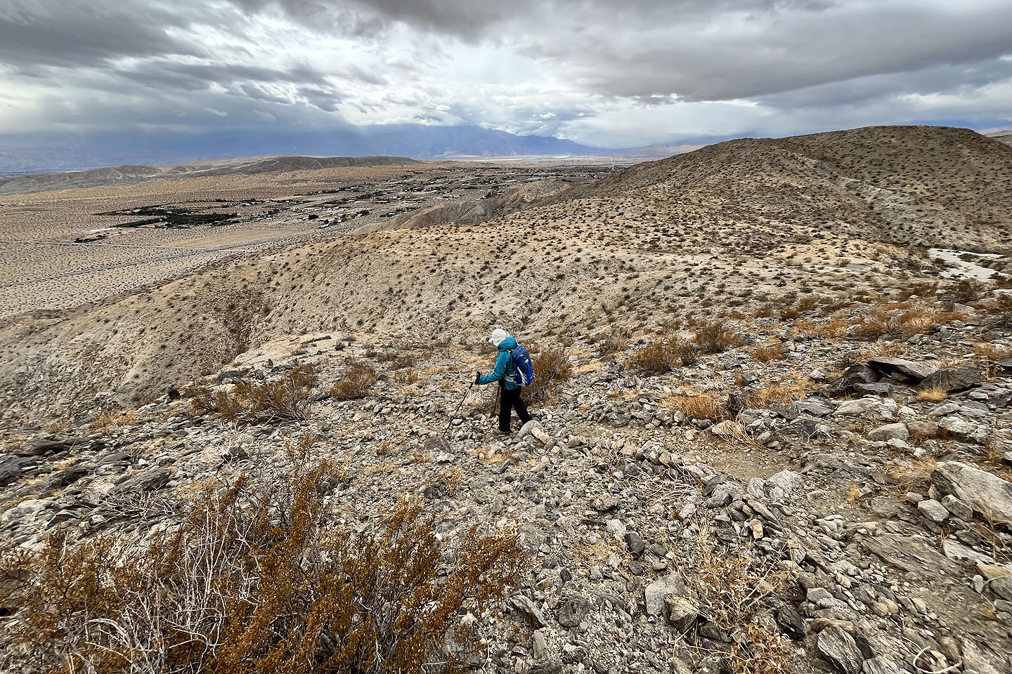
 Heading back down
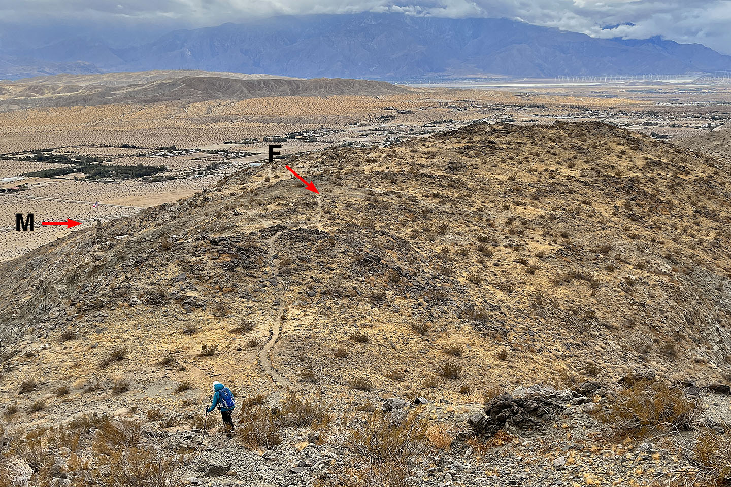 The fork (F) for the descent trail is near the monument (M)
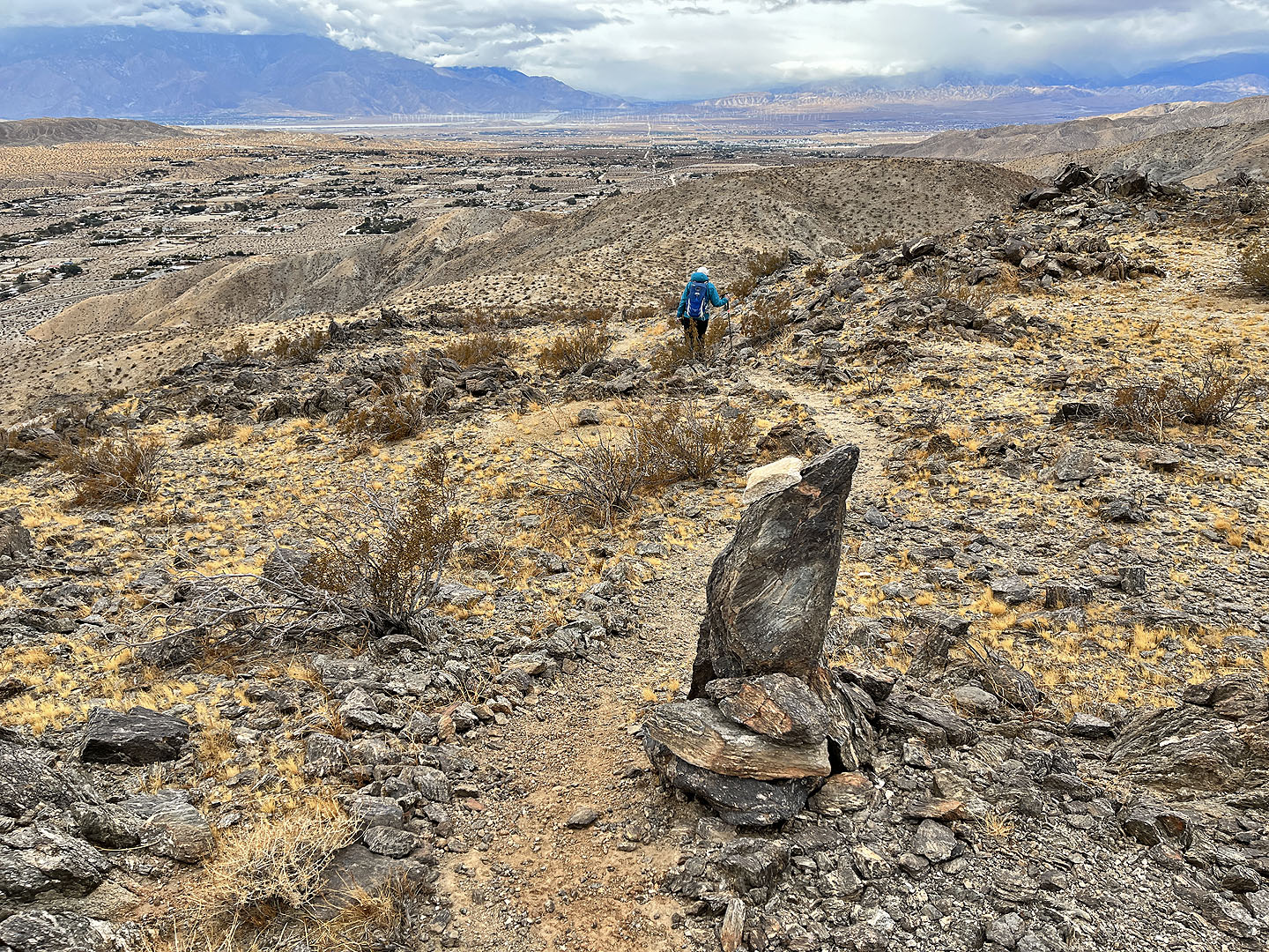 The descent trail follows a different ridge down
 The trail was full of loose rock
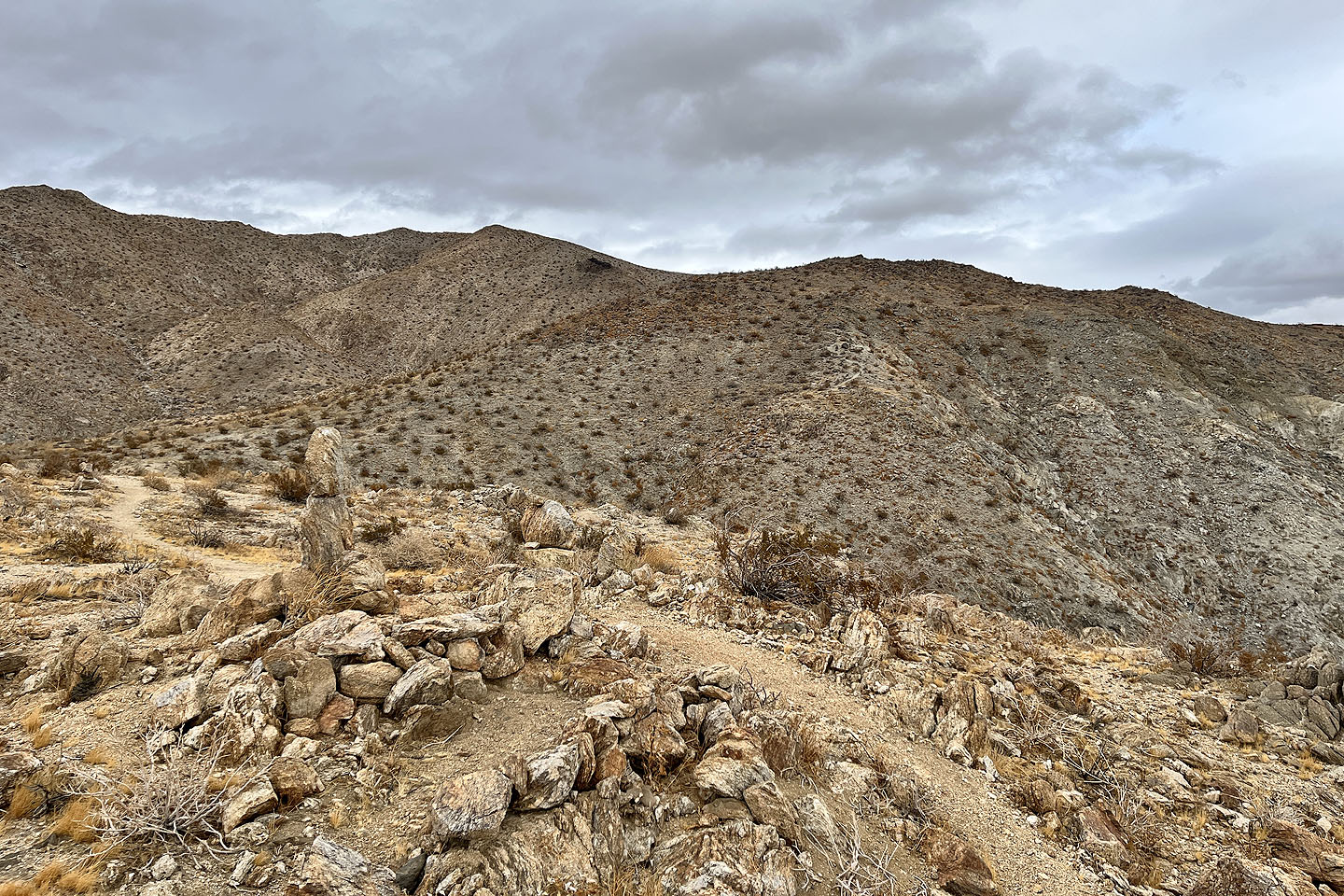 Looking back at the trail seen centre right before traversing left
 At the bottom of the ridge, we followed a dirt road back to the wash we came up
East Deception Canyon (5.6 mi, 3094 ft, 2008 ft)