bobspirko.ca | Home | Canada Trips | US Trips | Hiking | Snowshoeing | MAP | About
Teutonia Peak
Mojave Desert, California
November 9, 2010
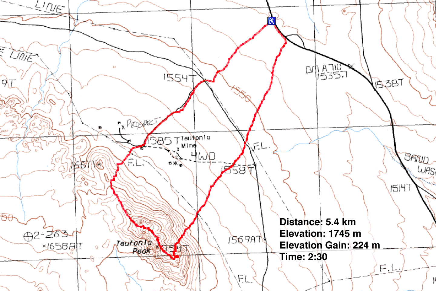
Distance: 5.4 km (3.4 mi)
Cumulative Elevation Gain: 242 m (794 ft)
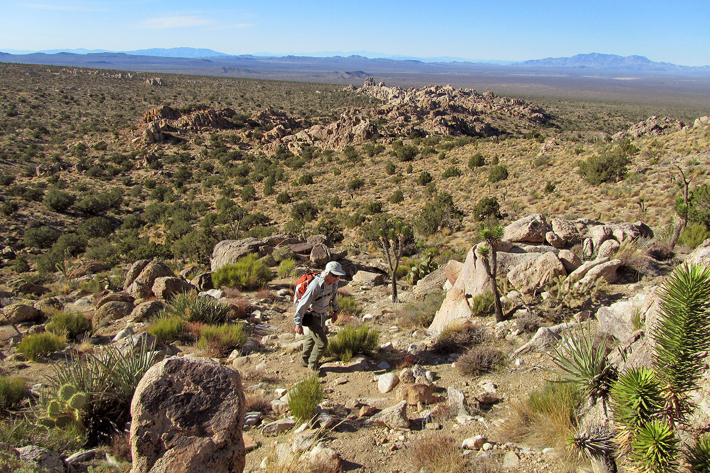
After hiking the Kelso Dunes we had plenty of time the same day to snag a tiny peak also in the Mojave Desert. Teutonia Peak consists of giant granite blocks arranged in a jagged ridge. There are three peaks: north, south and centre. The centre peak is the highest.
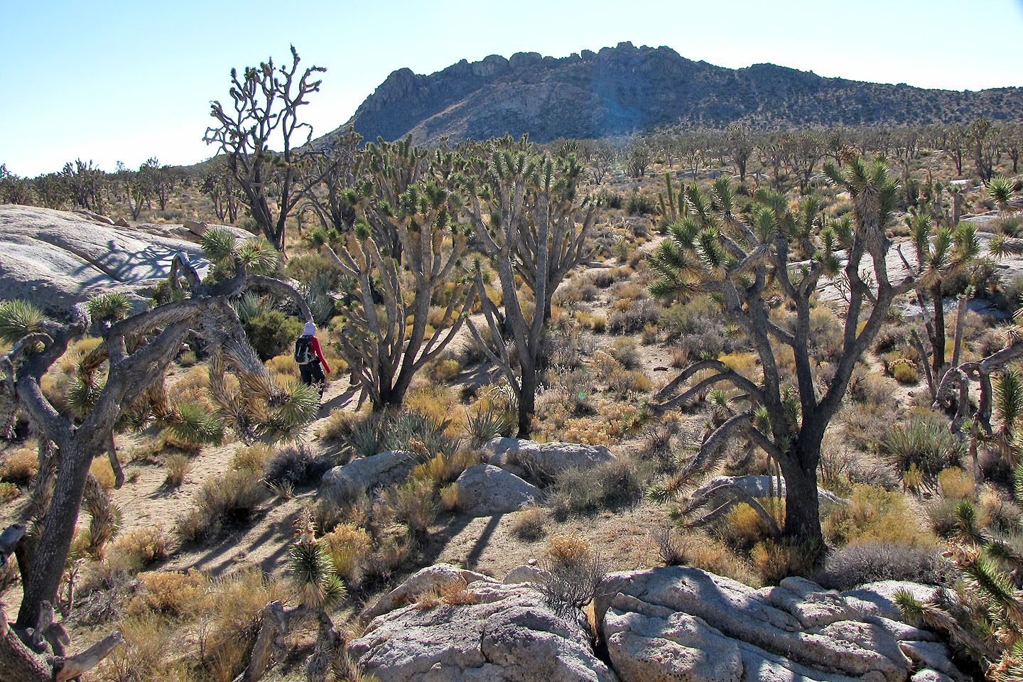
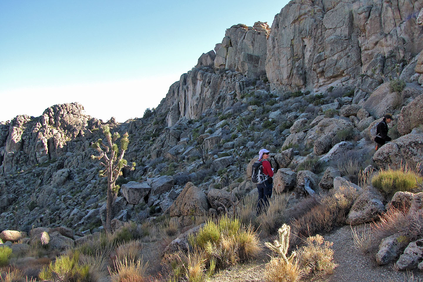
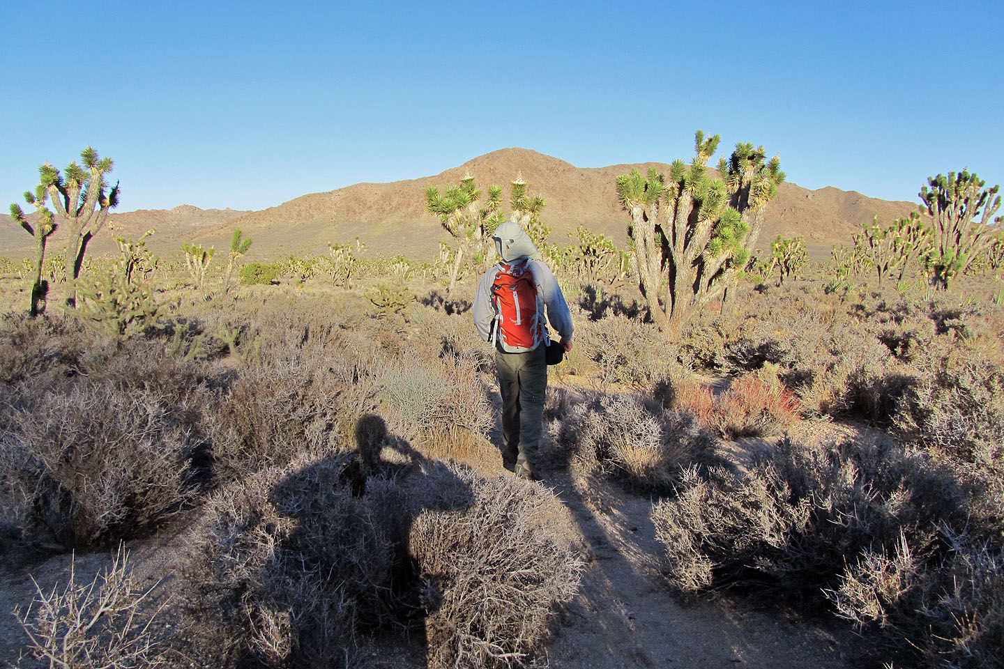
From the trailhead, Teutonia Peak rises above a profusion of Joshua trees, the highest concentration on the planet. We marvelled at the odd trees as we hiked down the trail to Teutonia. And we enjoyed the wildlife. A rabbit disappeared into the underbrush. Lizards scattered underfoot. A few birds flitted about.
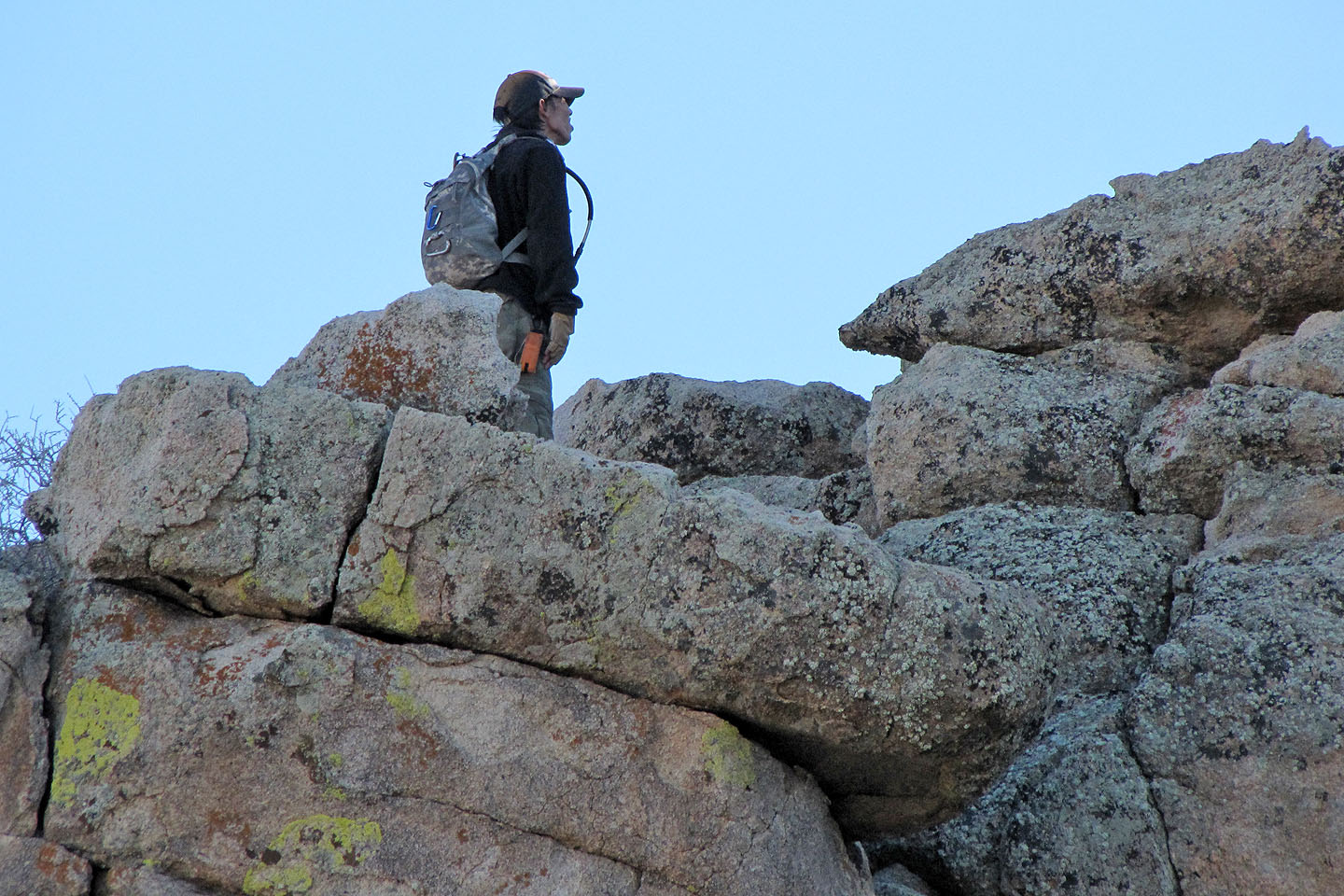
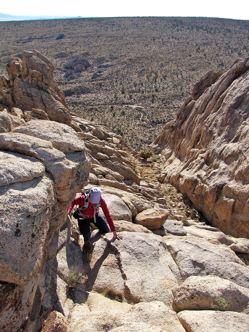
The trail led to the ridge crest where it ended abruptly. After looking around we realized we had to drop down the east side to reach the south and centre peaks. (We eschewed the north peak as it's a class 5 climb.) Shin went for the centre peak. Although only a class 3 climb, he had to jump across an abyss, a leap that made him nervous. If it made Shin nervous, it was out of the question for Dinah and me. Instead we scrambled up the south peak which was marginally lower than the centre peak. After taking a panorama from the south peak, I looked for Shin. I expected to see him on the centre peak, but he had disappeared.
When we caught up with Shin, he was excited. He had seen a gray fox. After descending the centre peak, he had passed below the south peak and ended up farther south on the ridge where we ran into him, and where he had seen the fox. Then Dinah and I saw the fox too. The three of us started down the ridge where we spotted it, but the cunning animal outfoxed us and disappeared into the rocks.
By then, it was time to turn back. Rather than retrace our steps back along the ridge to the trail, we dropped down the east slope of Teutonia and made our way through the Joshua trees. Looking back, Teutonia Peak was not a lofty goal to achieve so much as a granite playground to explore.
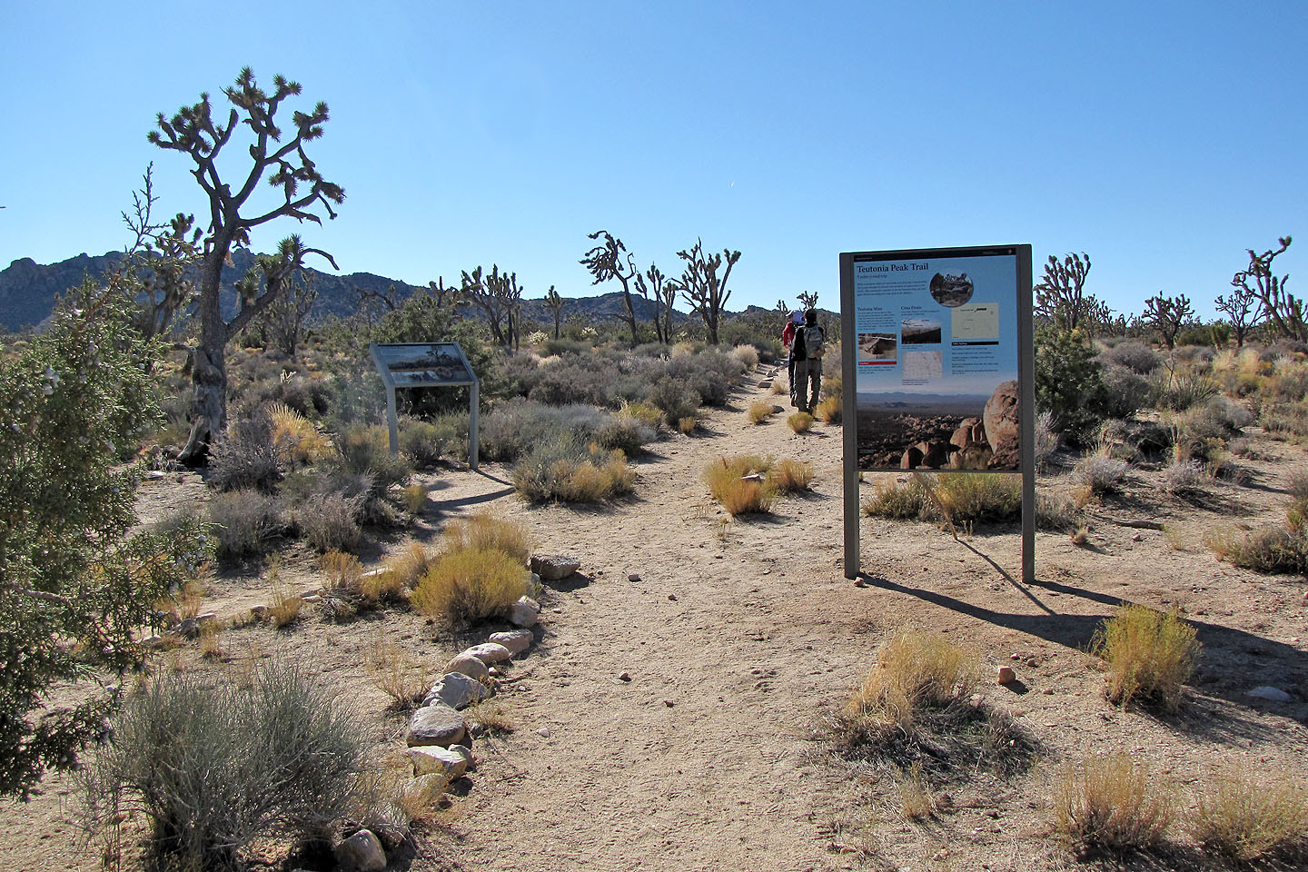
The trailhead
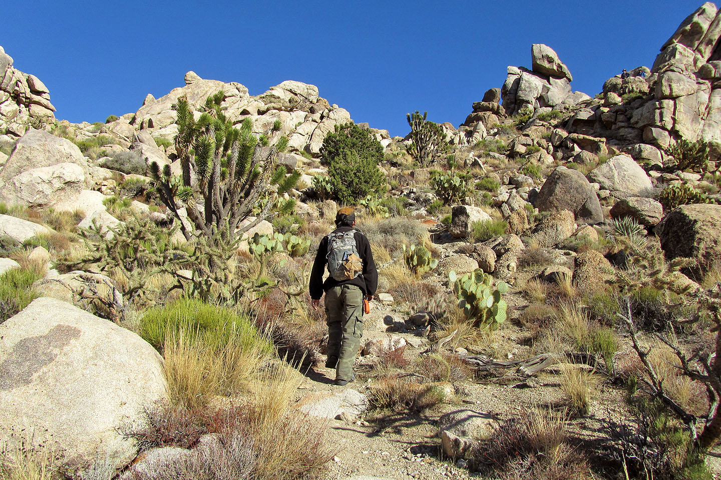
The trail passes through Joshua trees
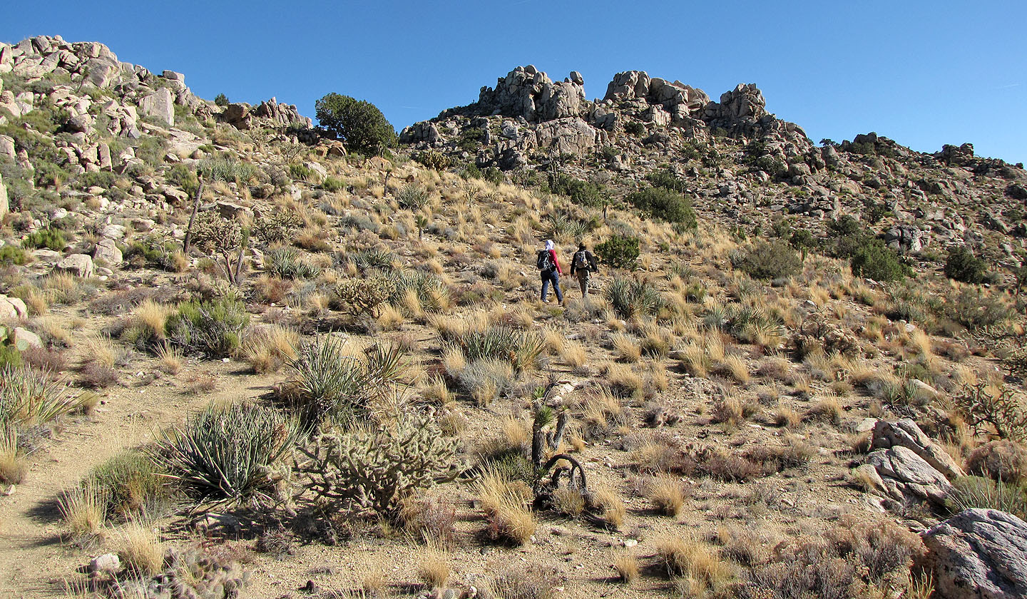
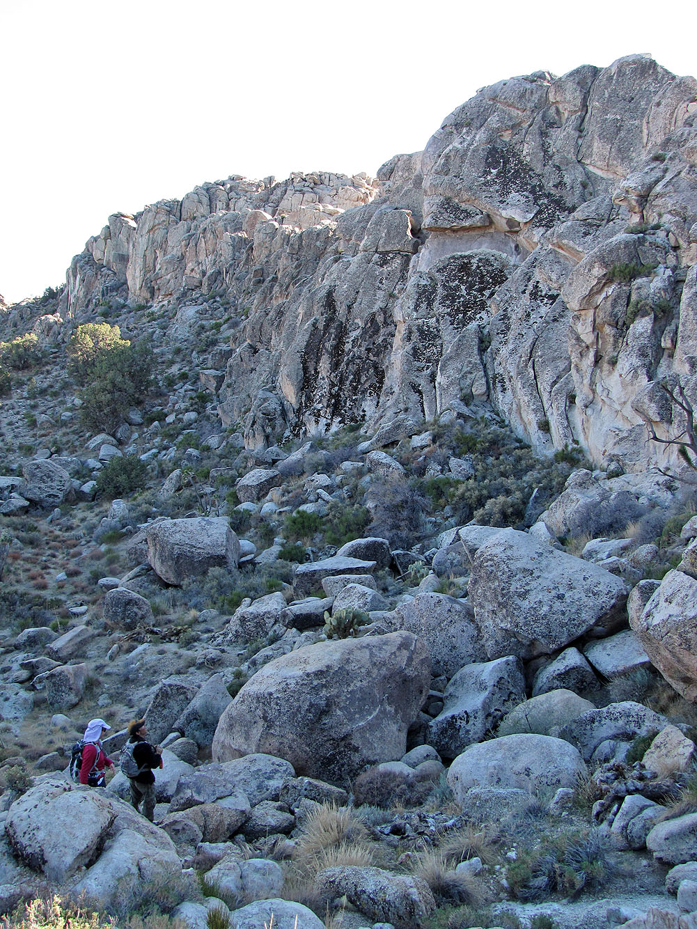
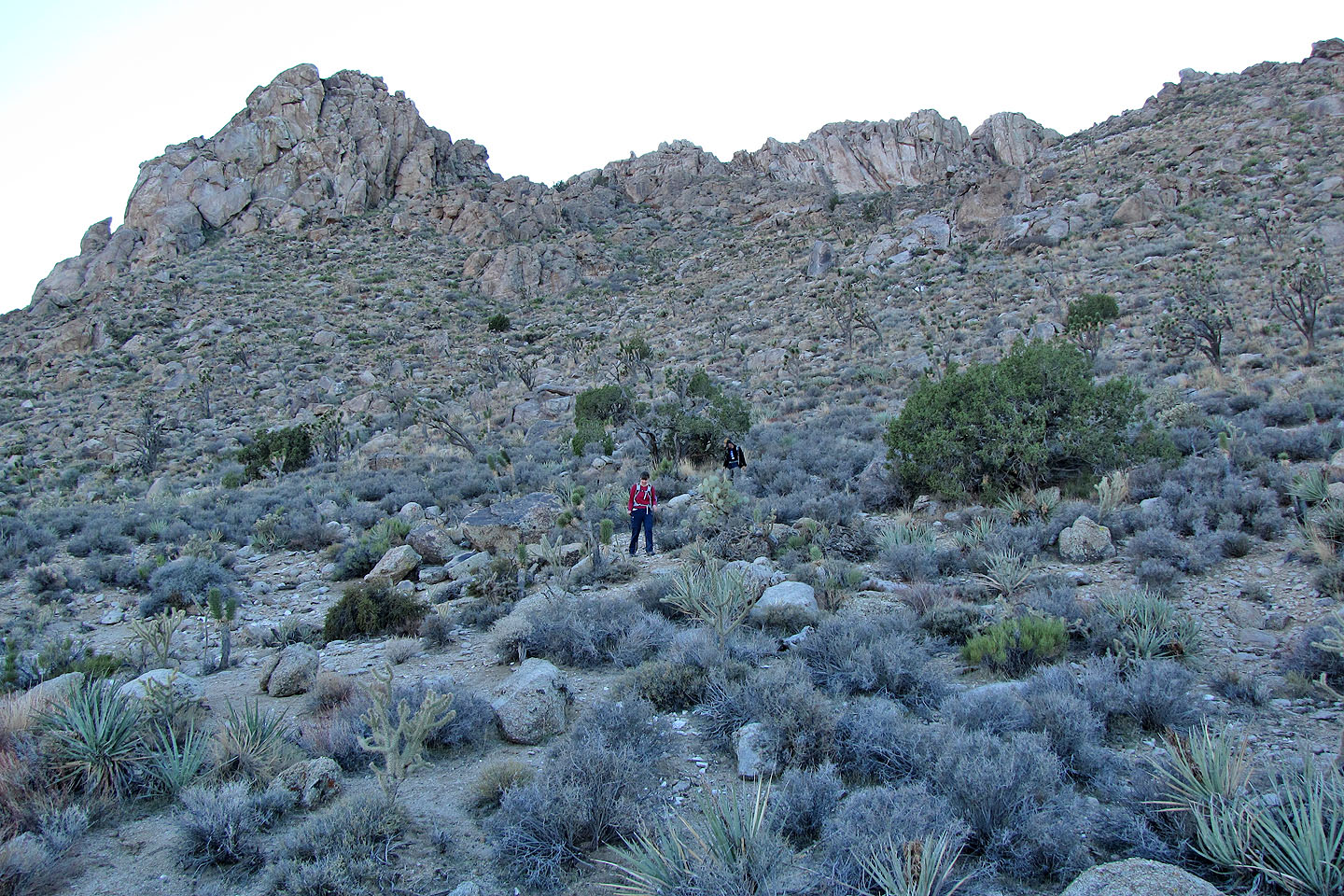
Approaching Teutonia Peak
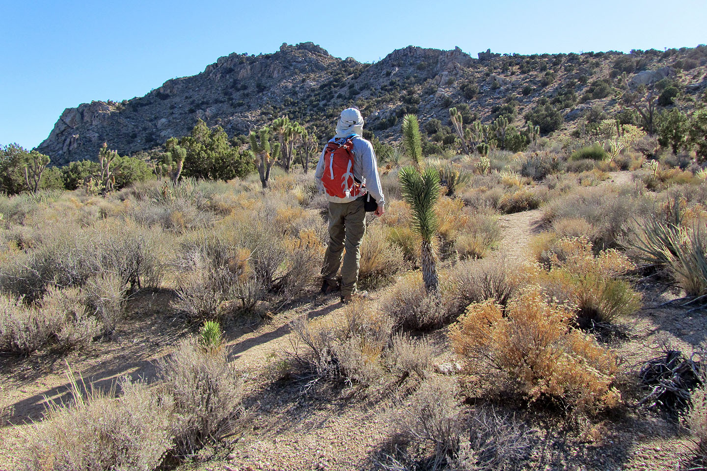
Starting up the ridge
Ahead we see a landmark, a balancing rock (mouse over)
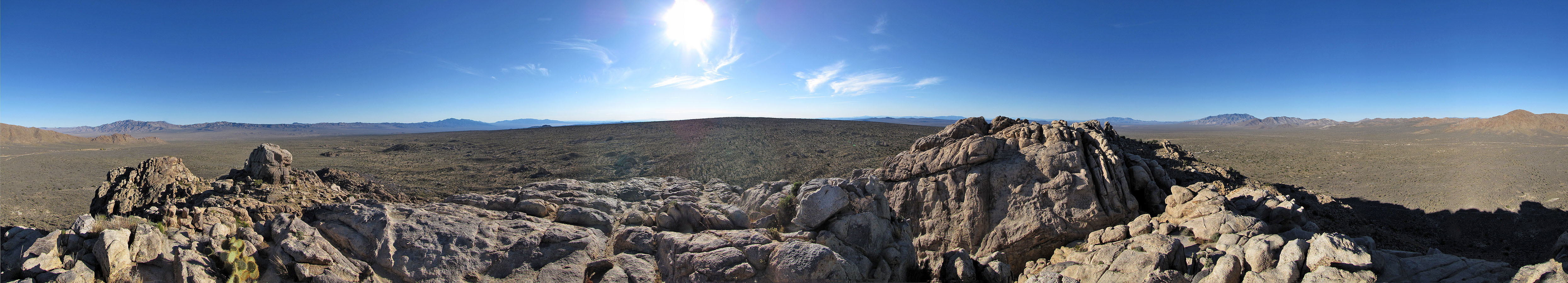
Superb desert scenery
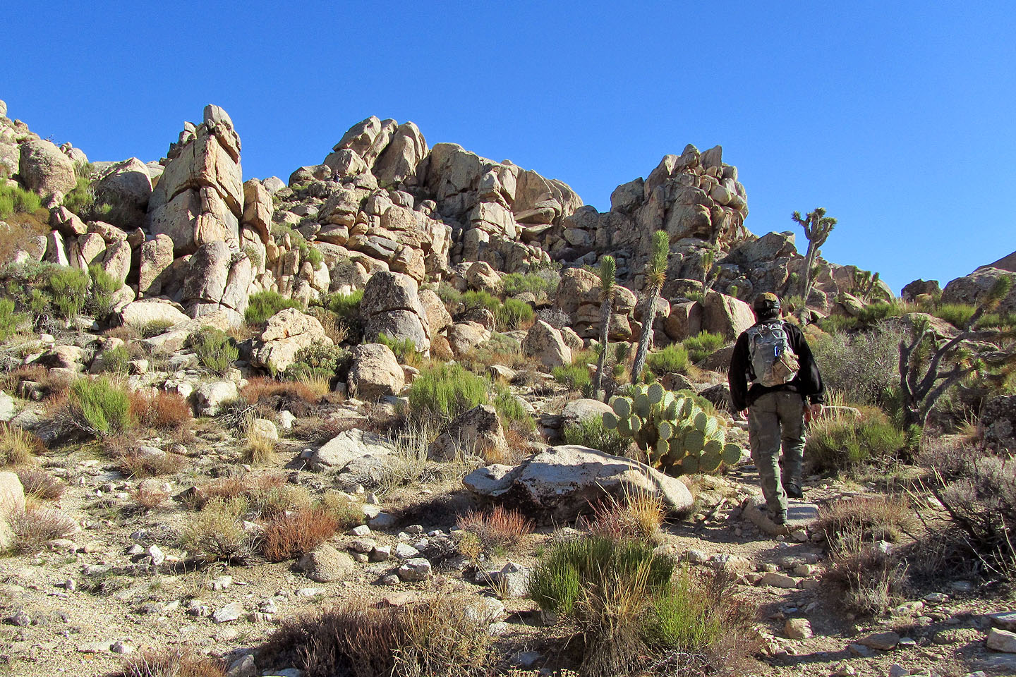
Pretty cool rock too!
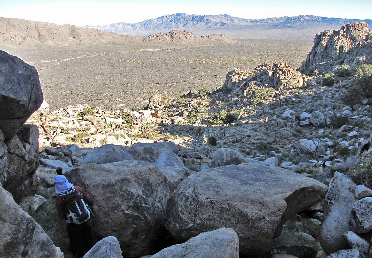
We dropped down the east side
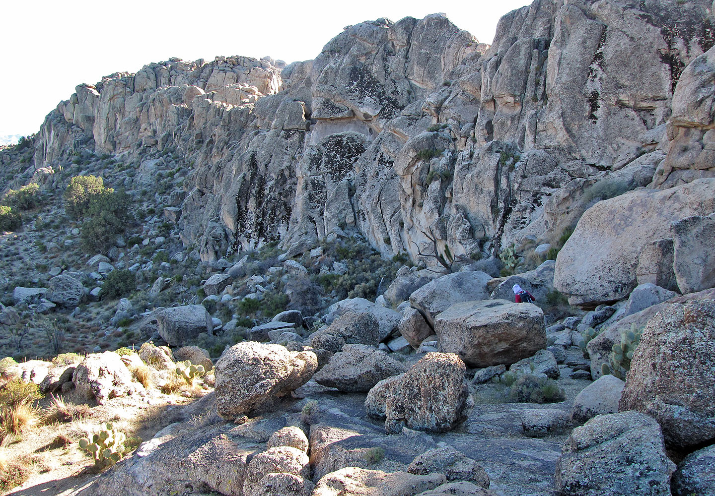
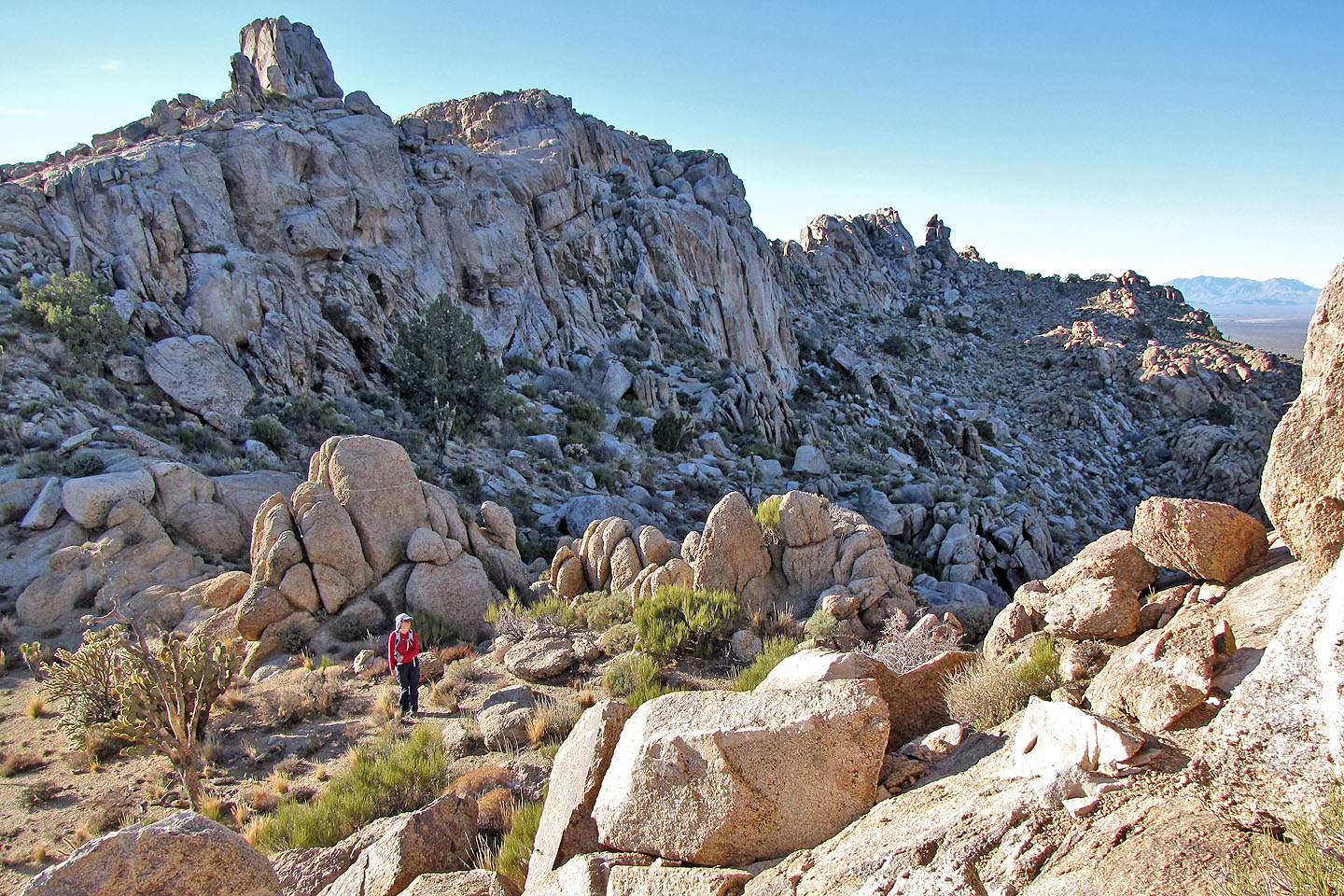
Dinah works her way around granite boulders
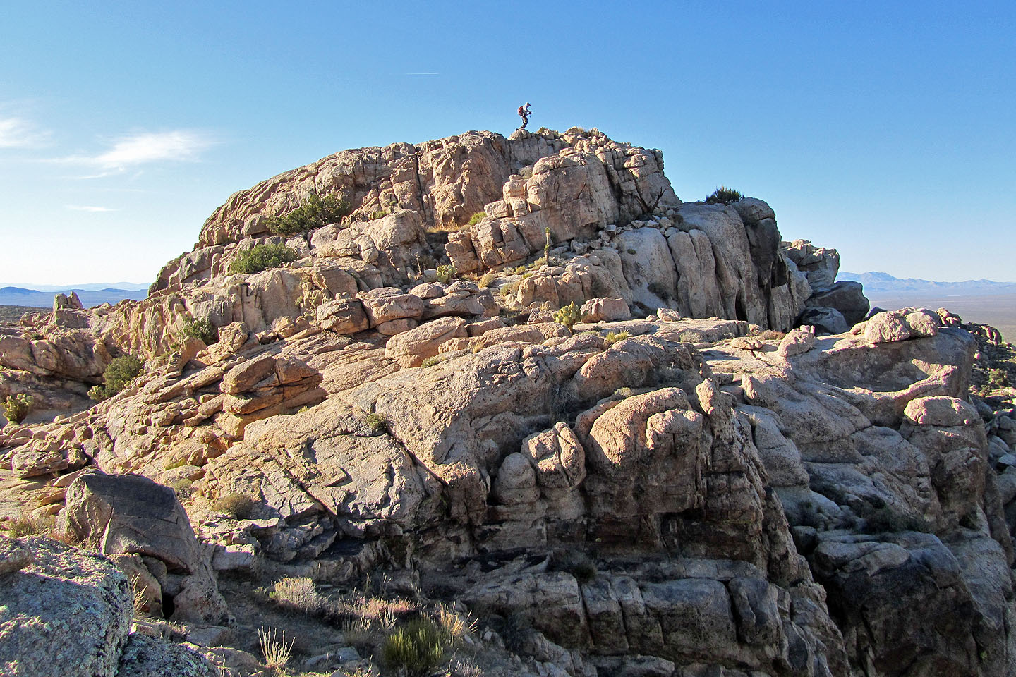
It's hard to determine where the south and centre peaks are
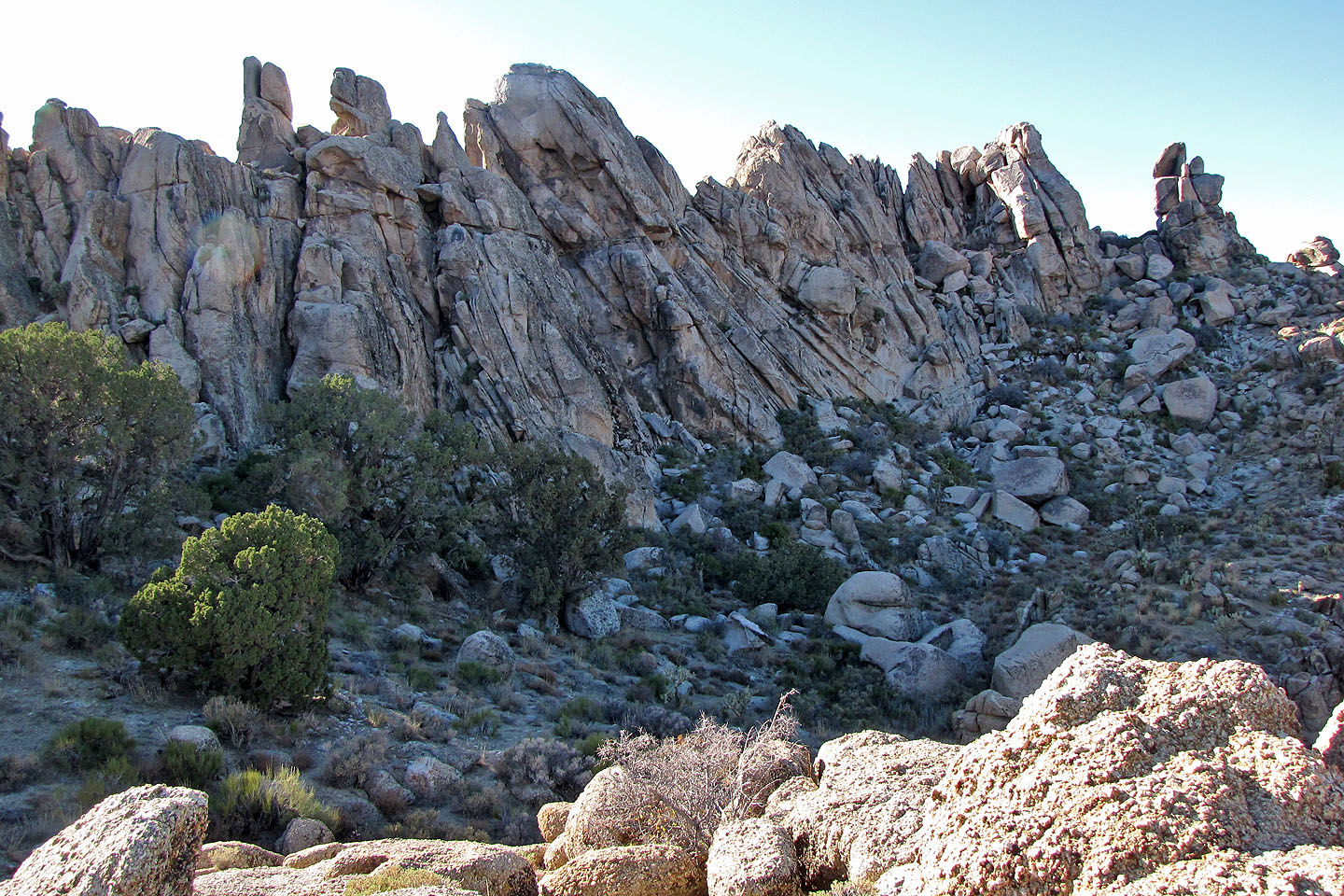
Jagged north ridge ends with the balanced rock
The notch above Dinah separates south and centre peaks. Shin heads to the centre peak.
Dinah and I will go to the notch to climb the south peak.
Shin ponders his next move on the centre peak (mouse over to pull back).
Dinah climbs the notch between the south and centre peaks
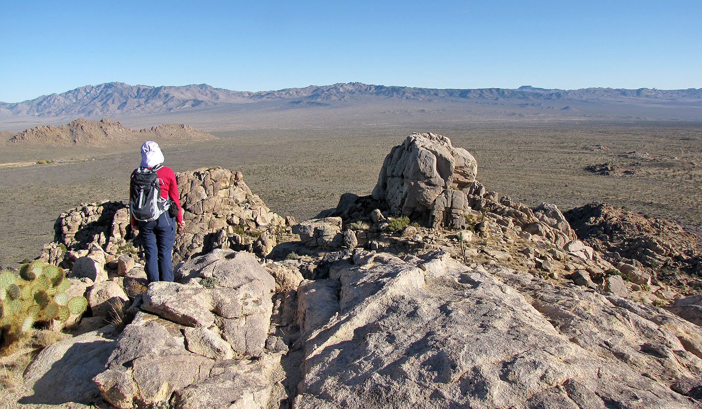
Standing on the south peak
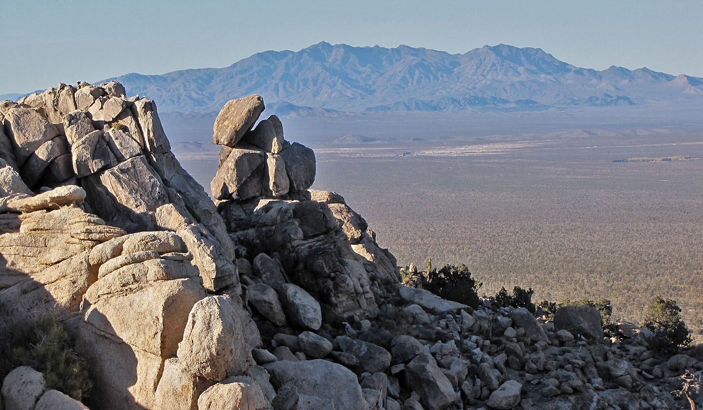
60 km northwest: in line with the balanced rock, is the Kingston Range
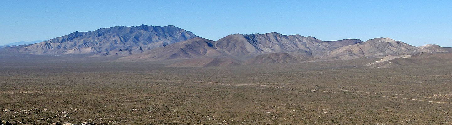
North: Clark Mountain, Mescal Range and Stripe Mountain
After climbing down, Dinah looks back at the south peak
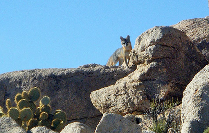
Gray fox
Looking for the fox at the south end of the ridge
Descending from the south end
Kessler Peak lies east on the other side of Cima Road
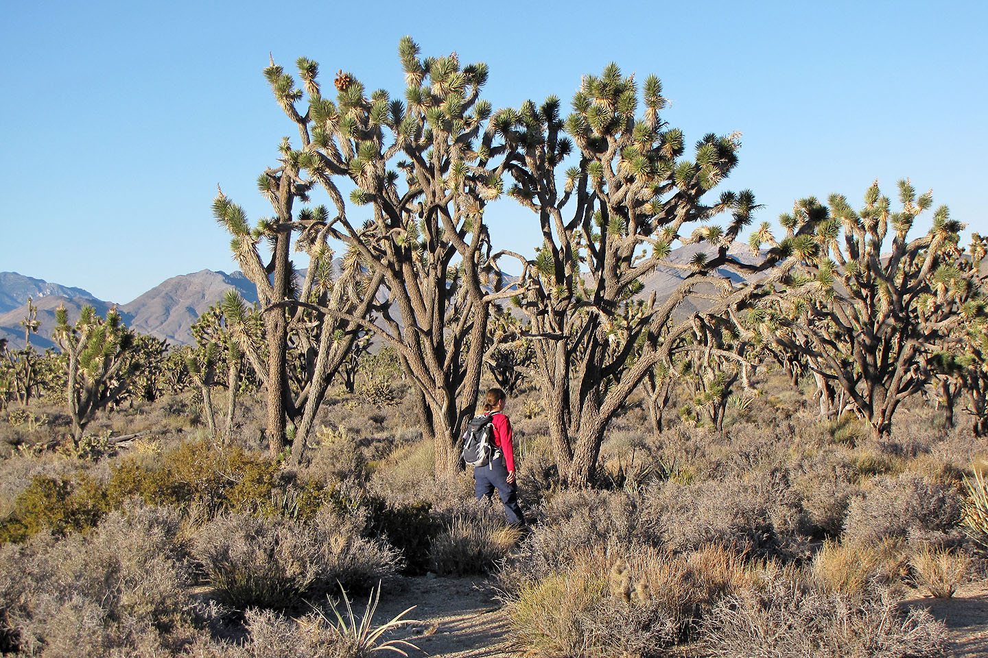
Towering Joshua trees
Cima Dome (3.4 mi, 5725 ft, 735 ft)