bobspirko.ca | Home | Canada Trips | US Trips | Hiking | Snowshoeing | MAP | About
Terri Peak
Lake Perris Recreation Area, California
February 4, 2025
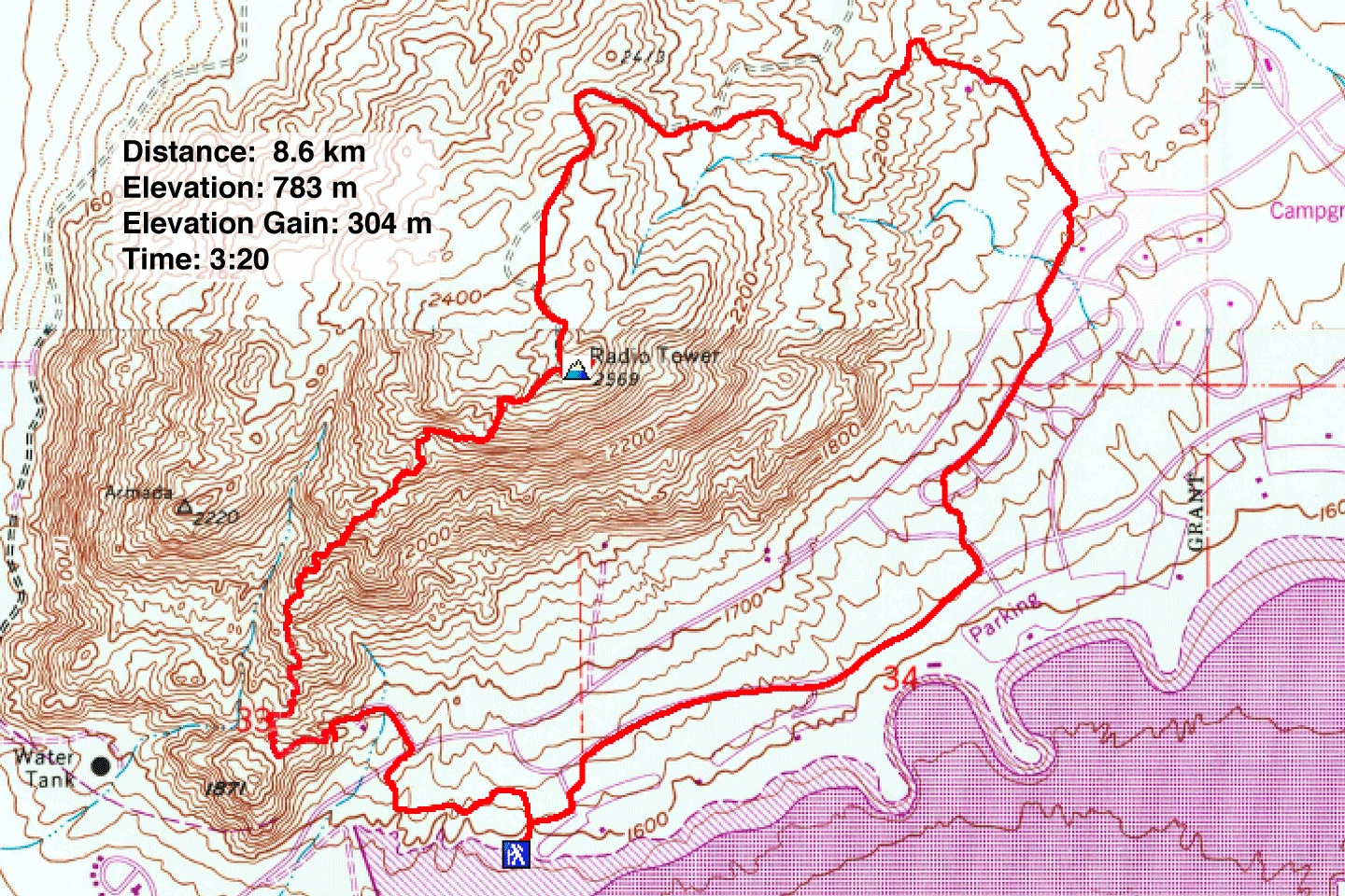
Distance: 8.6 km (5.3 mi)
Cumulative Elevation Gain: 308 m (1010 ft)
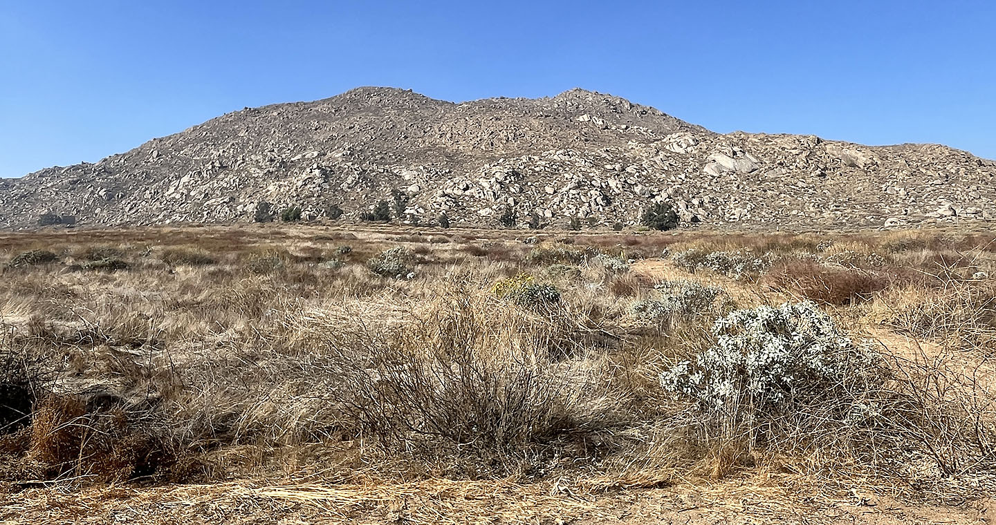
Rising above Perris Lake and studded with huge boulders, Terri Peak looks appealing. Also attractive was that it can be hiked as a loop. Terri Peak lies in Lake Perris State Park, an hour's drive west of Palm Springs. Expect a $9 entry fee.
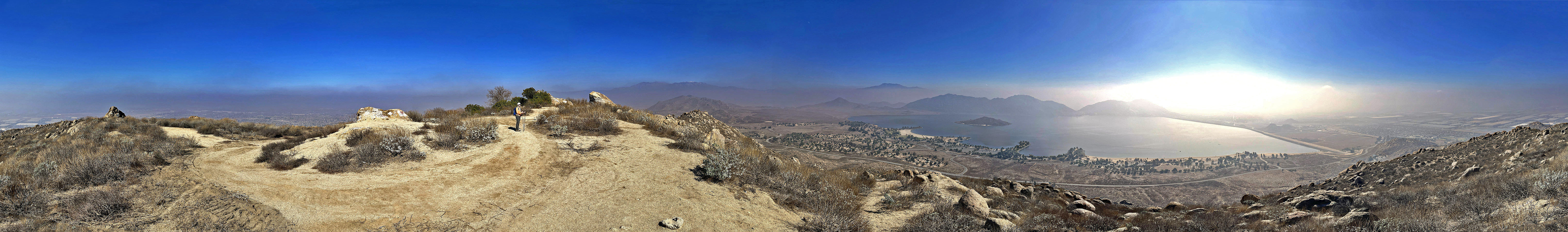
The forecast promised clear skies, but on our arrival, we found a stubborn low cloud, a haze that obscured far-ranging views. We looked forward to viewing Lake Perris from the summit, but details were lost although it lay less than a mile away.
After entering the park, Dinah and I drove a few kilometres and parked near the lake. A short walk back up the road brought us to a narrow path. We followed it as it ran through a meadow and headed toward the Indian Museum. The path fell short of reaching the museum, so we crossed the meadow to the road. We walked to the back of the museum to the trailhead.
We followed the trail as it climbed the ridge and wound through a boulder wonderland. But after passing through a natural landscape, we found vehicle tracks and spray-painted rocks had spoiled the broad summit.
After taking a break, we followed a dirt road down the northeast end of the mountain. Halfway down, we left the road and thankfully got on a trail running through pleasant scenery. Near the bottom, where the terrain levelled out, we followed a gravel road to the paved road we had driven down earlier. Rather than follow the road to our car, we ambled 2 km through quiet campgrounds and down empty roads. It was a bland finish to an interesting peak.
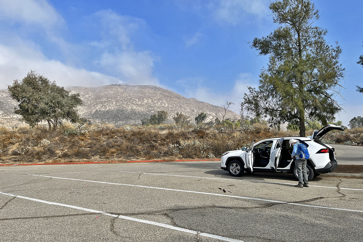 Terri Peak seen from the parking lot
 After walking up the road a short distance, we started up a trail
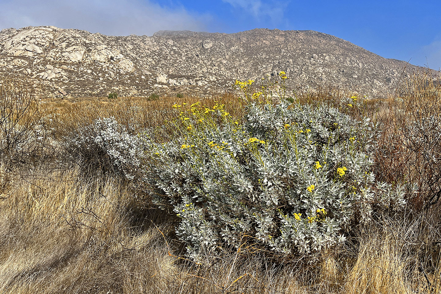 A few flowers were blooming
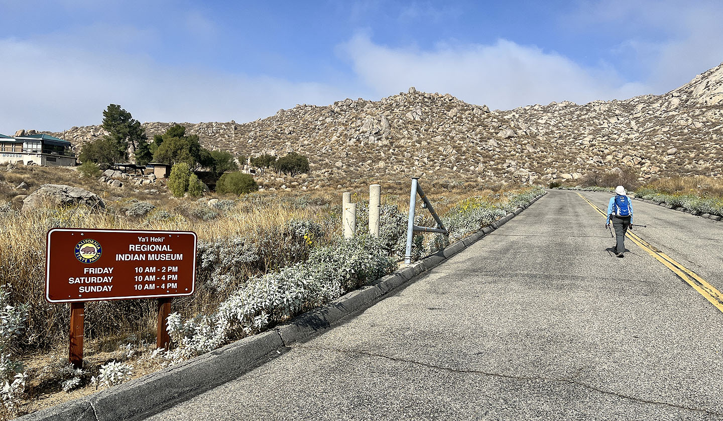 We left the trail and made our way to the Ya'i Heki' Regional Indian Museum
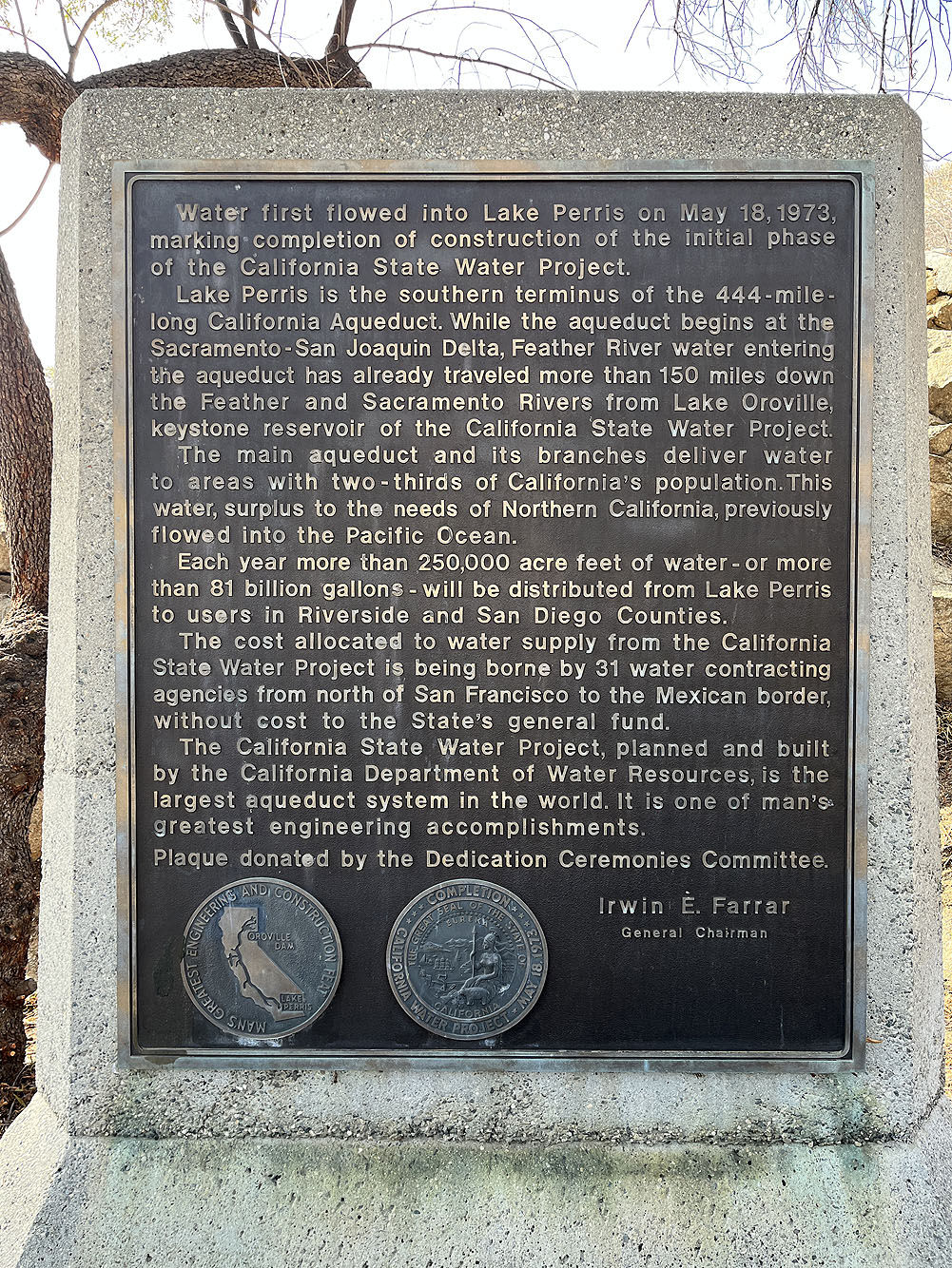
Water that previously ran to the Pacific Ocean, was diverted to Lake Perris
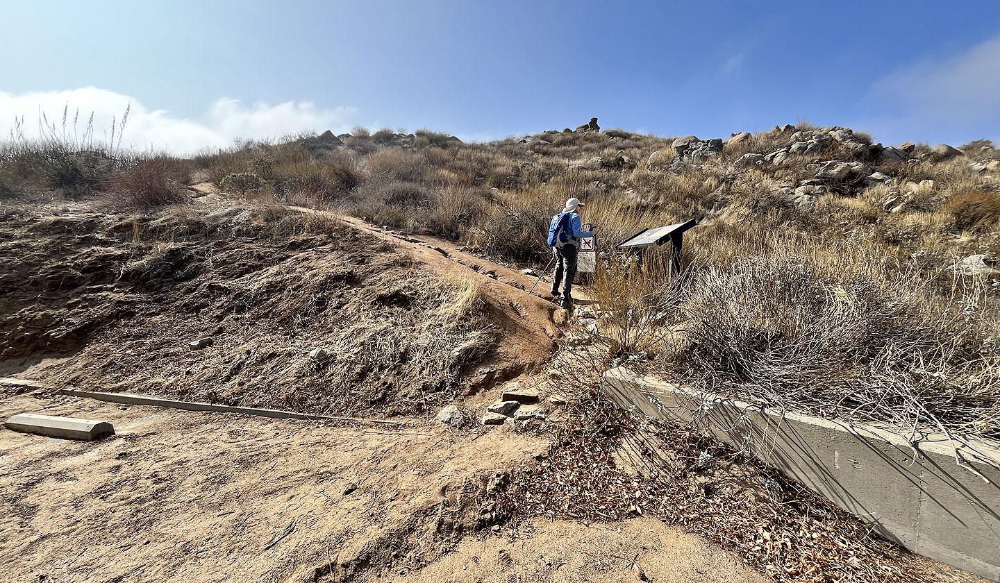 The trail starts behind the museum. Dinah reads a warning sign (mouse over).
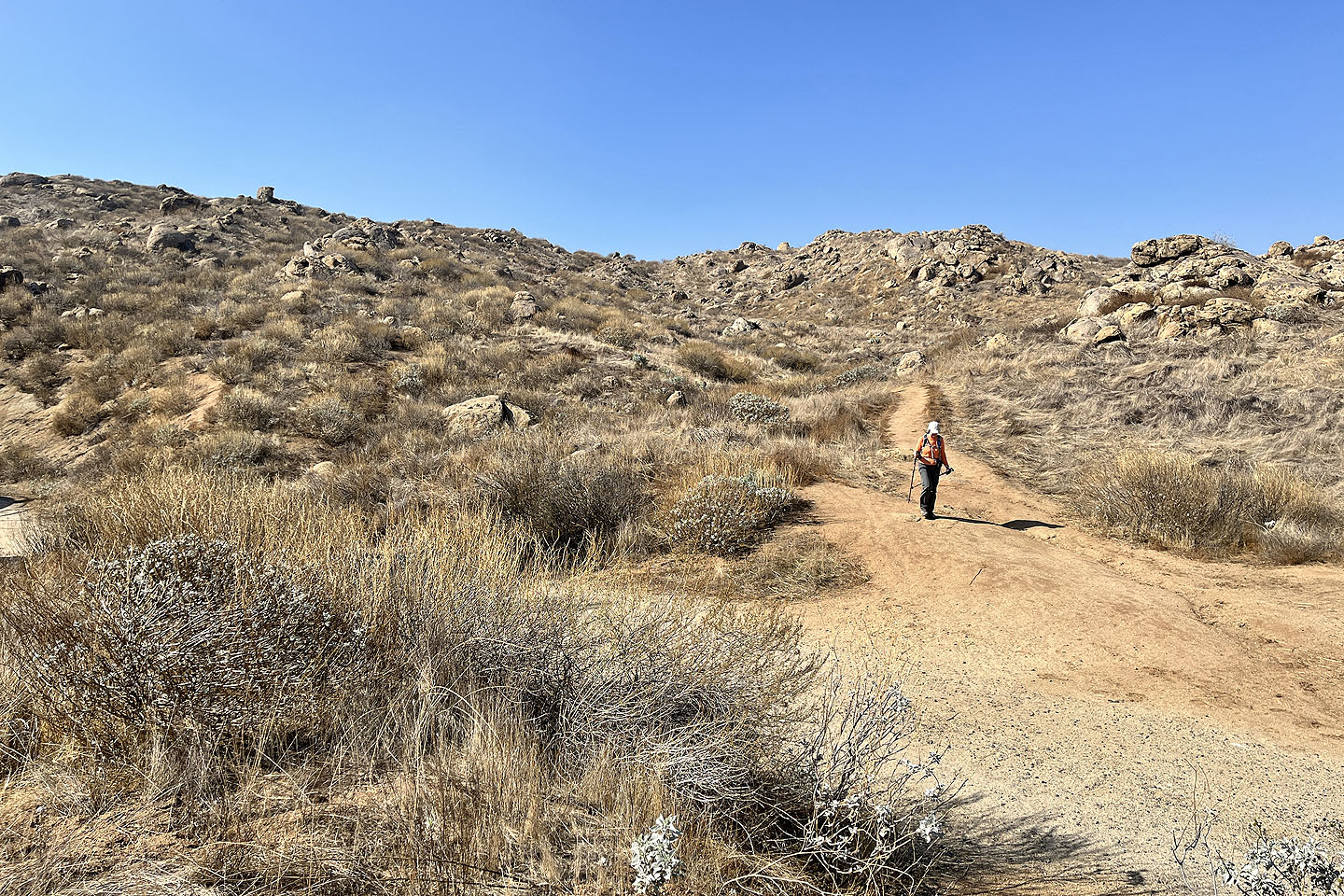
 Going up the trail
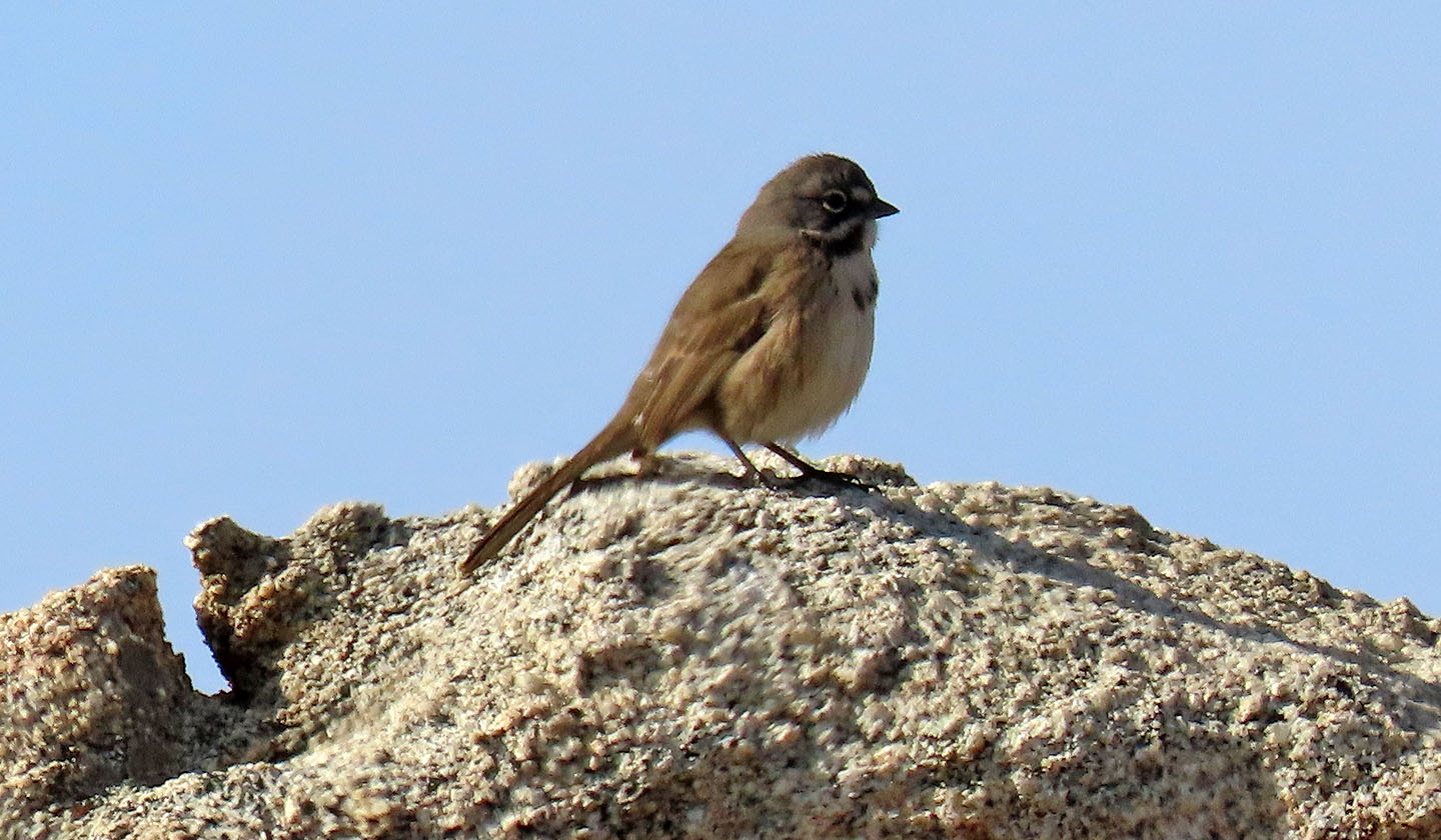 Bell's sparrow
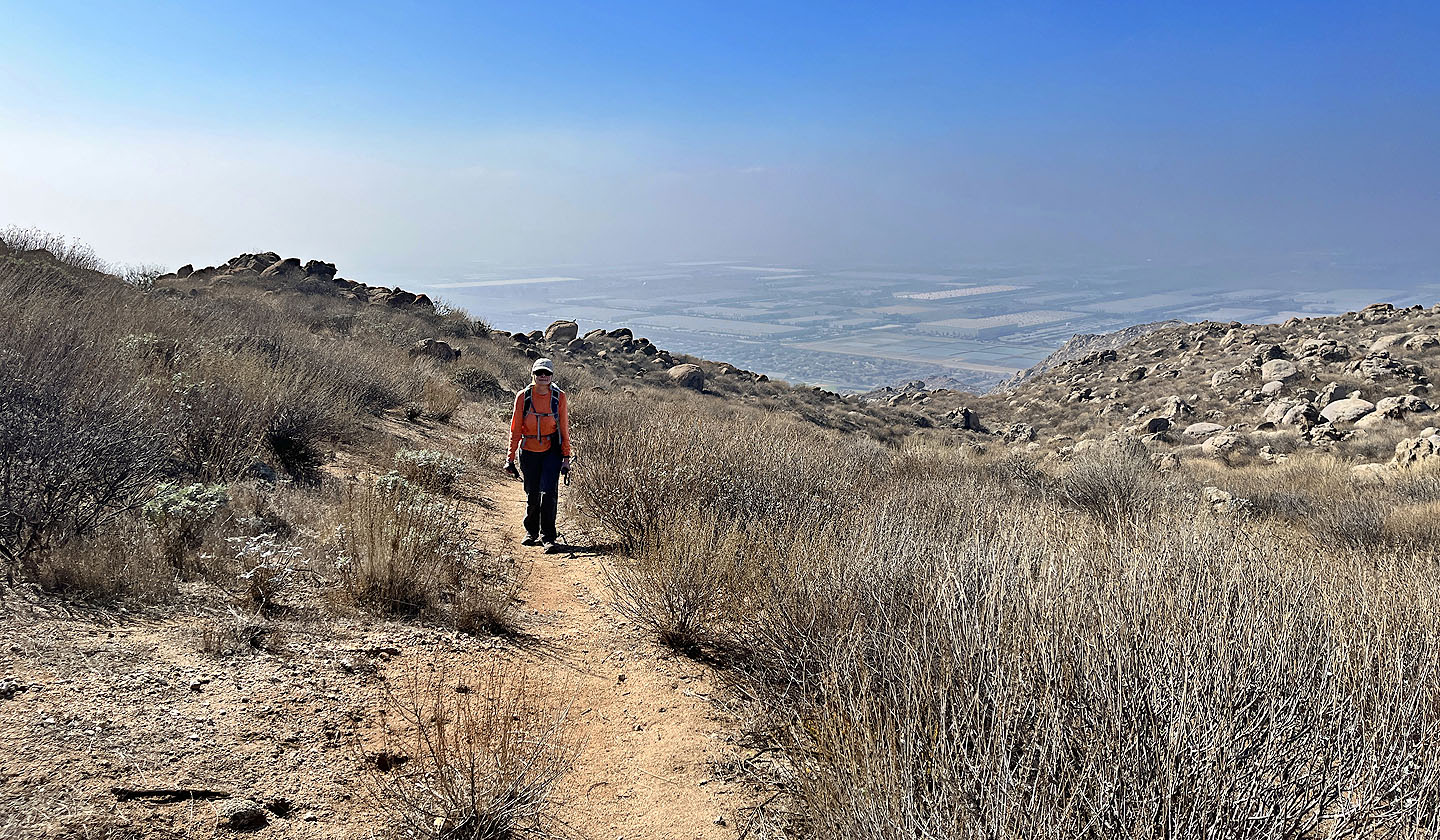
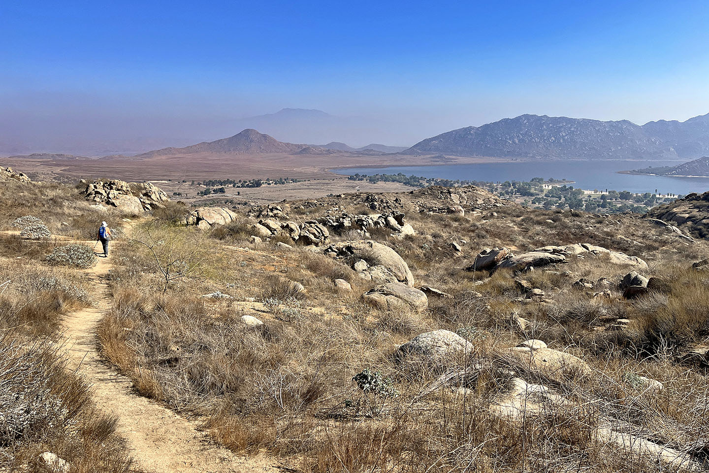
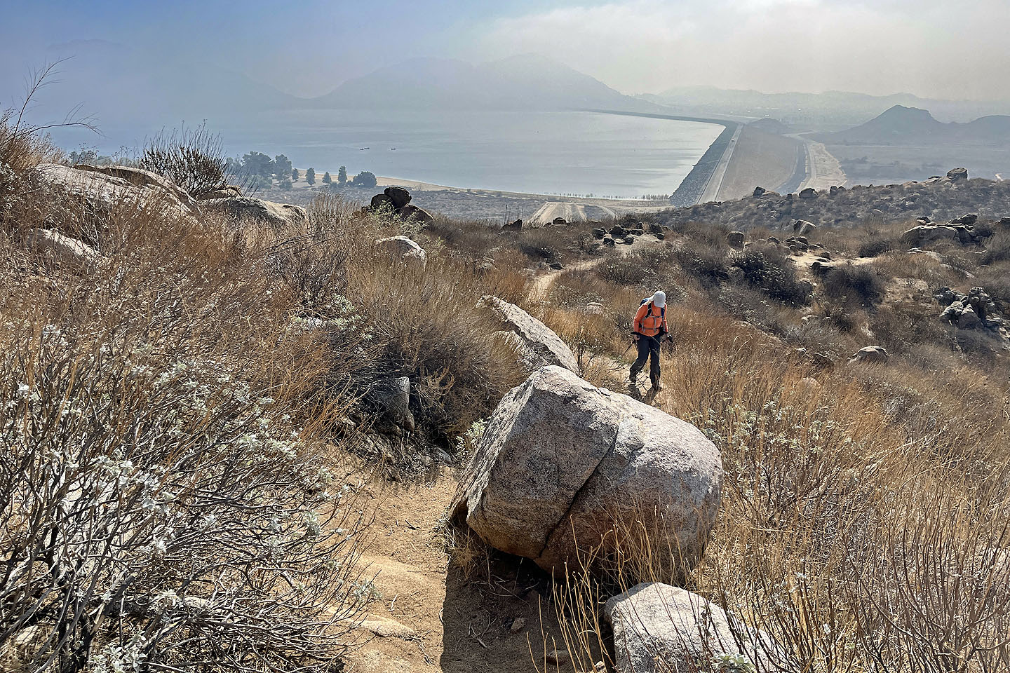 Lake Perris was shrouded in haze
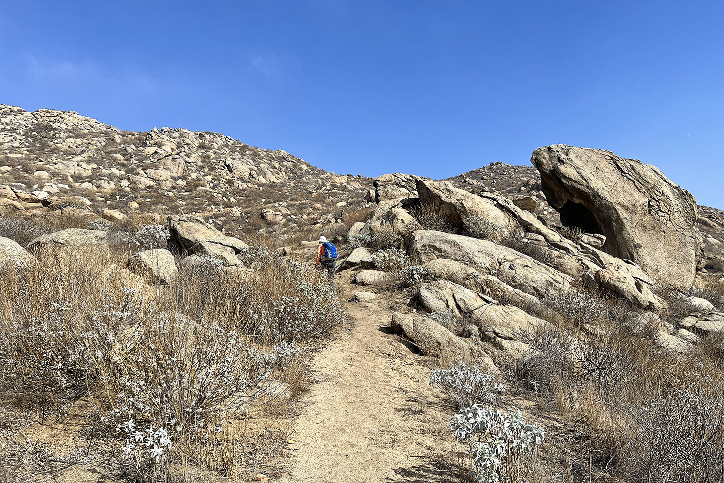
 The trail heads to a rocky slope
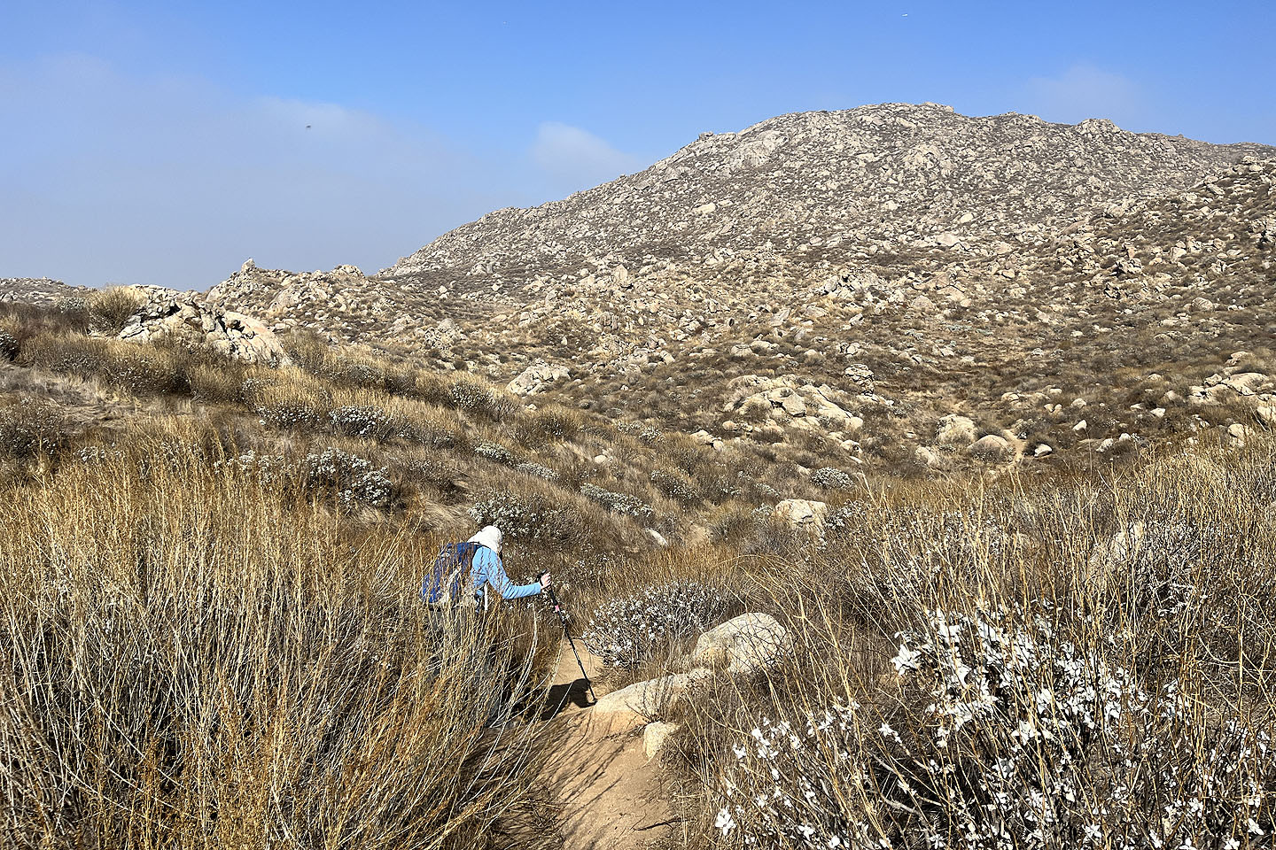
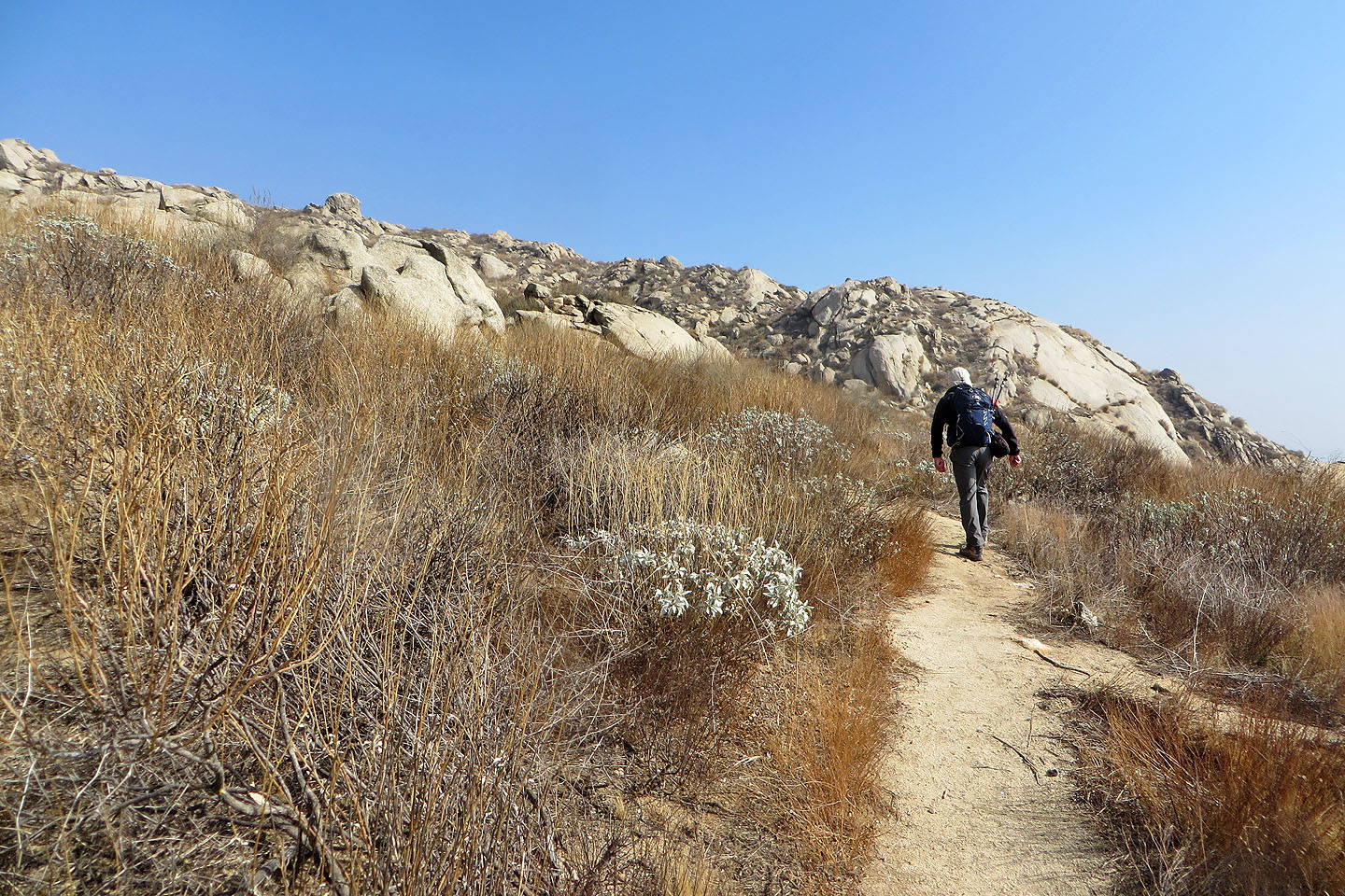
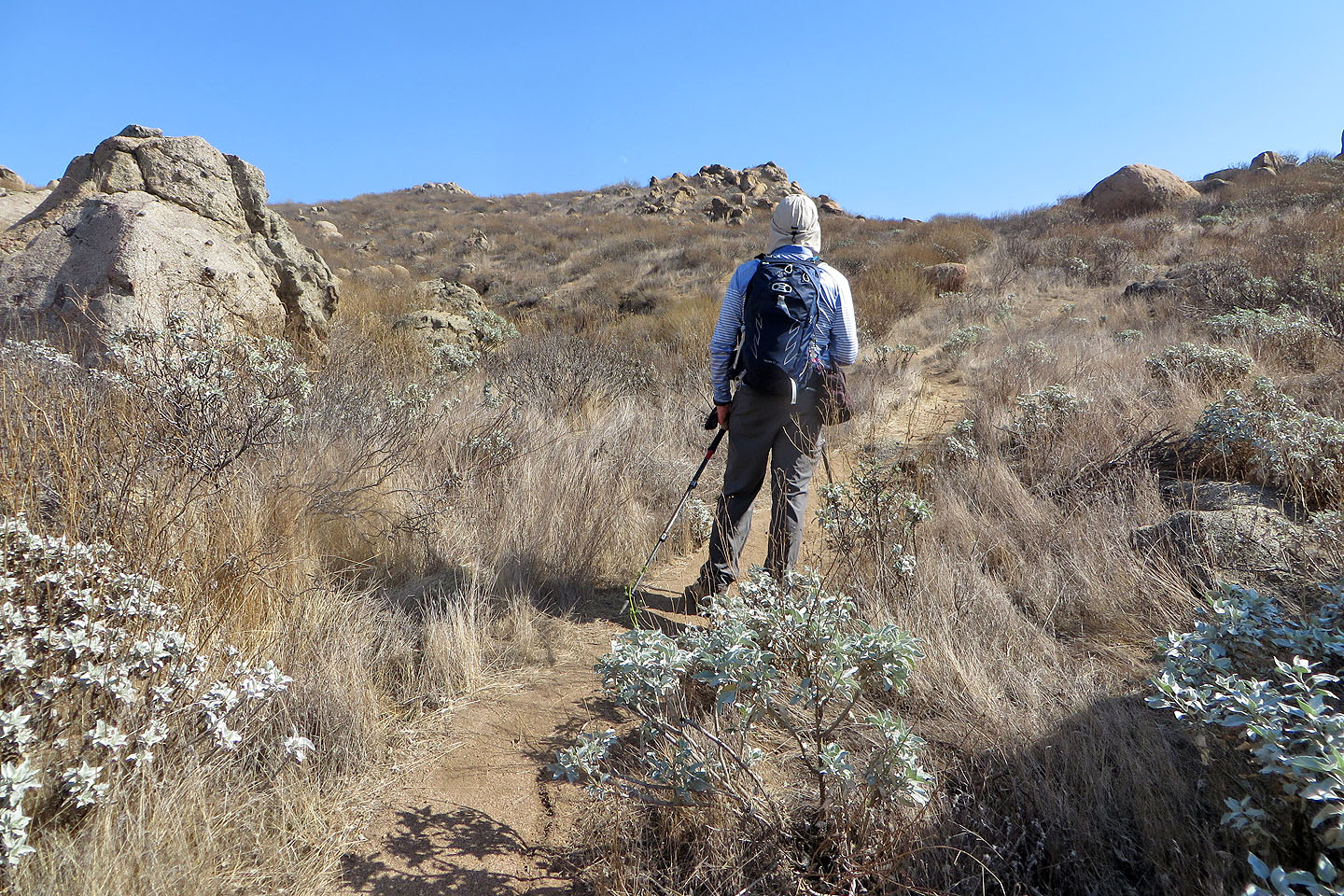
 The ascent was very scenic
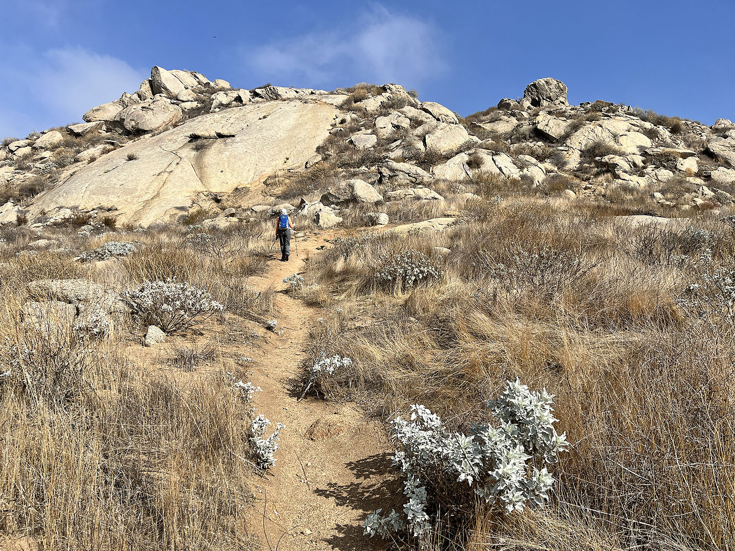
 Continuing up the ridge
 Looking back, there was little to see because of the haze
 A false summit appears left, far in the distance
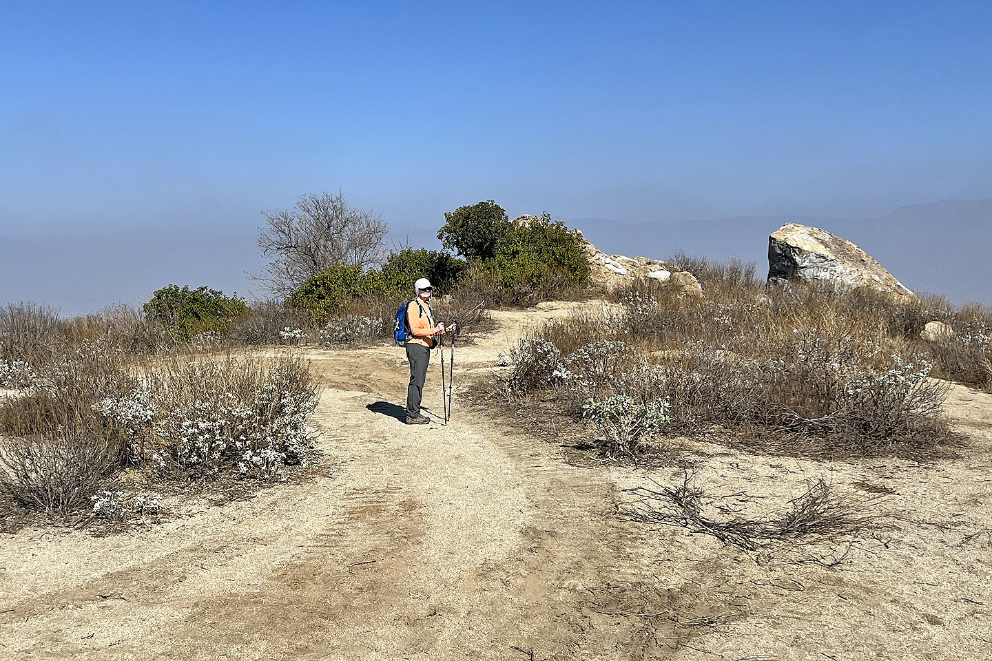
 Passing the false summit
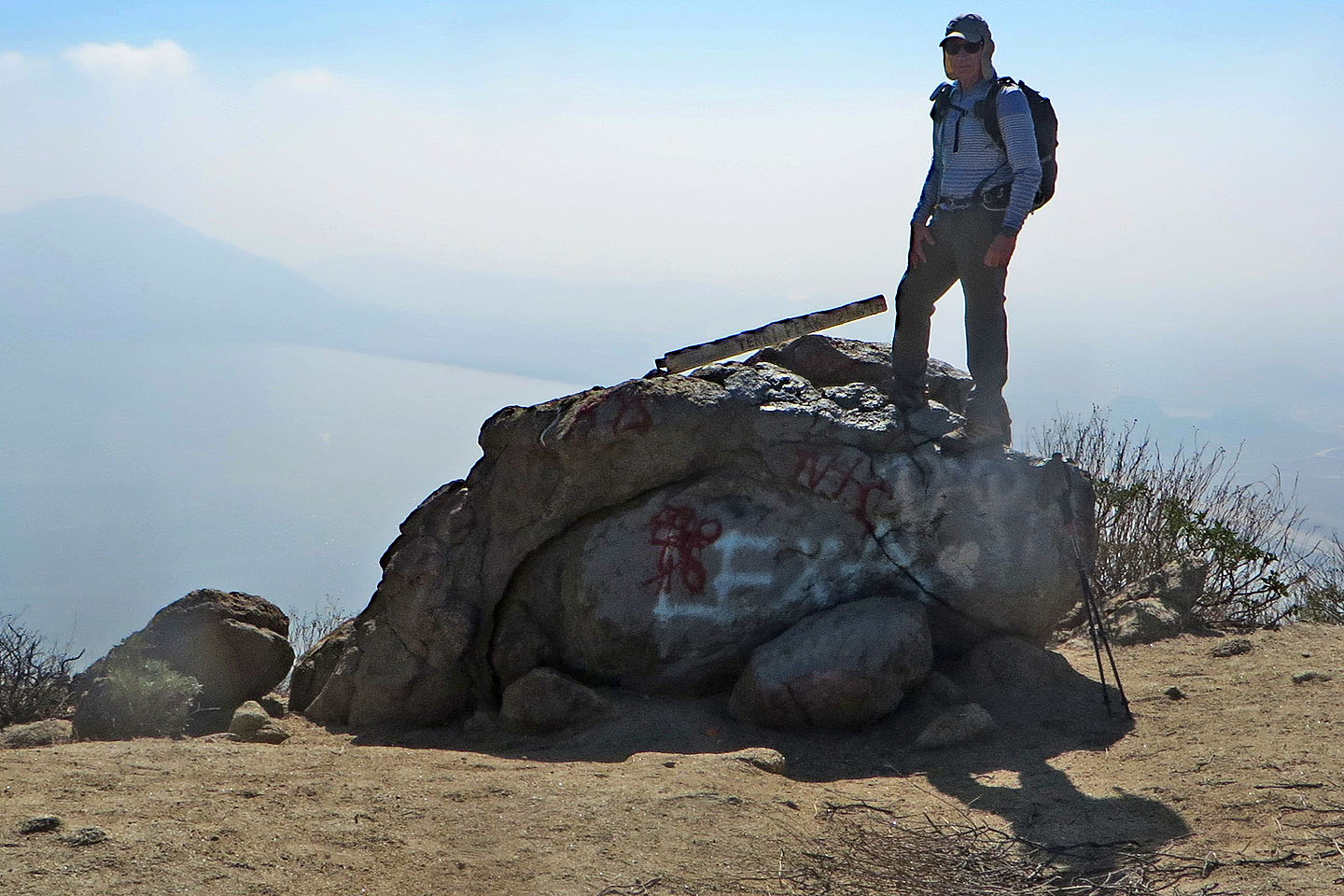 A board on a boulder reads: TERRI PEAK 2569 ft, but this is not the summit. A pile of rocks 30 m away is the highest point. I took my summit panorama here as I wanted to get the lake in.
 The true summit is the rock pile behind the bush in the centre
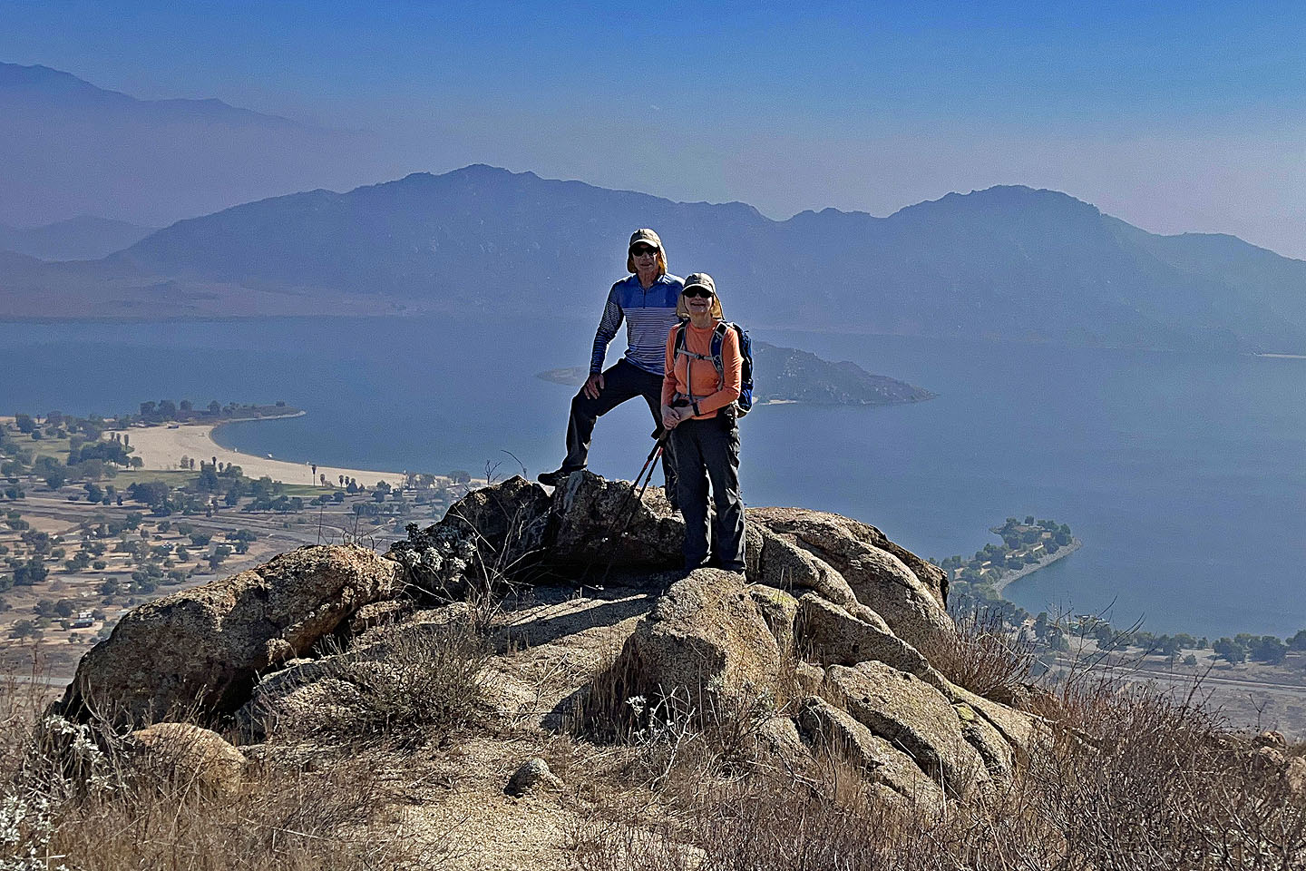 We found a nice background to pose in front of
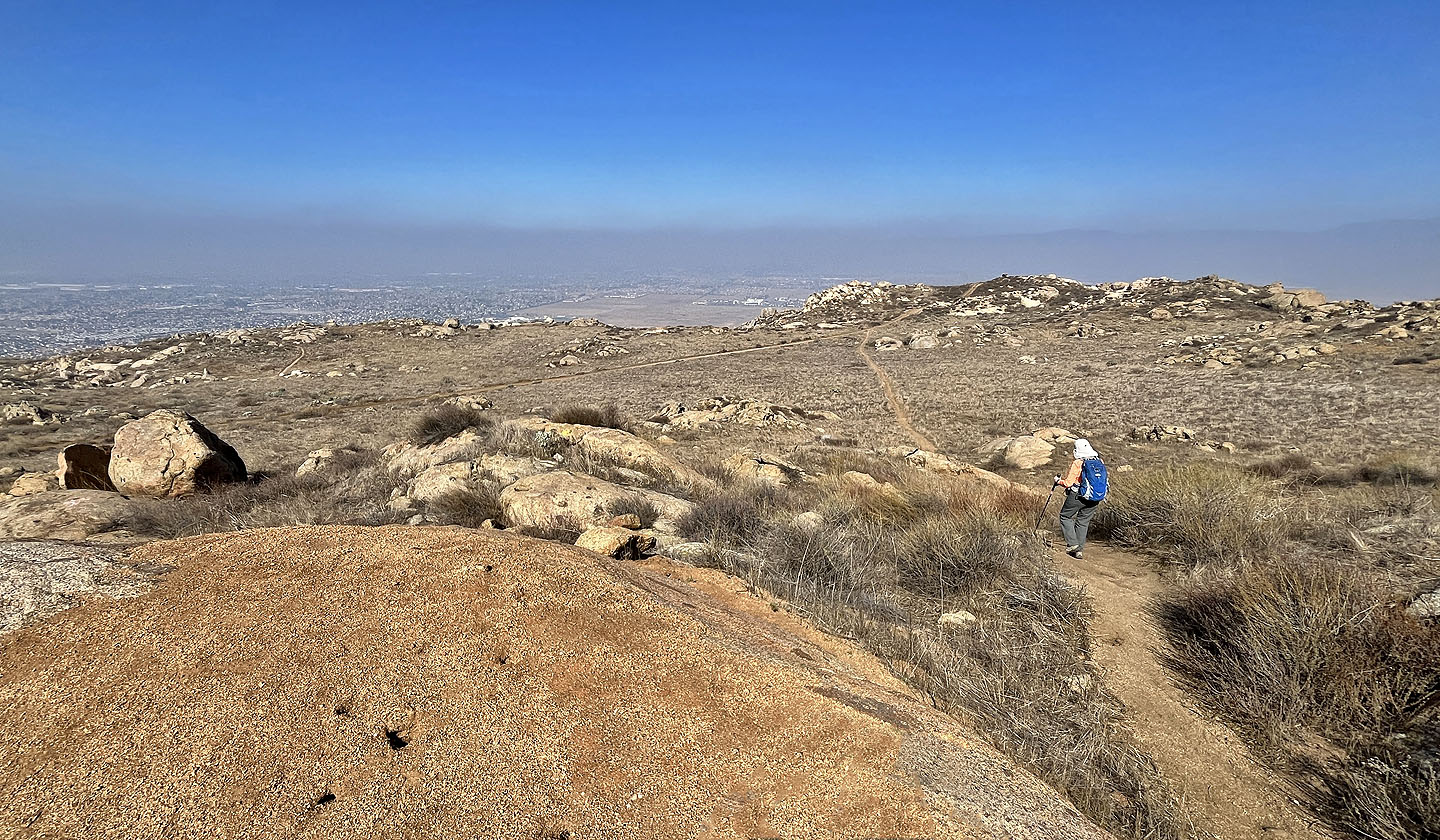
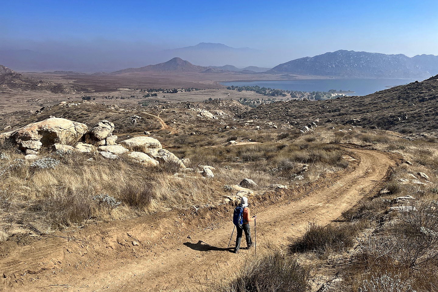
 From the summit, we started down a road
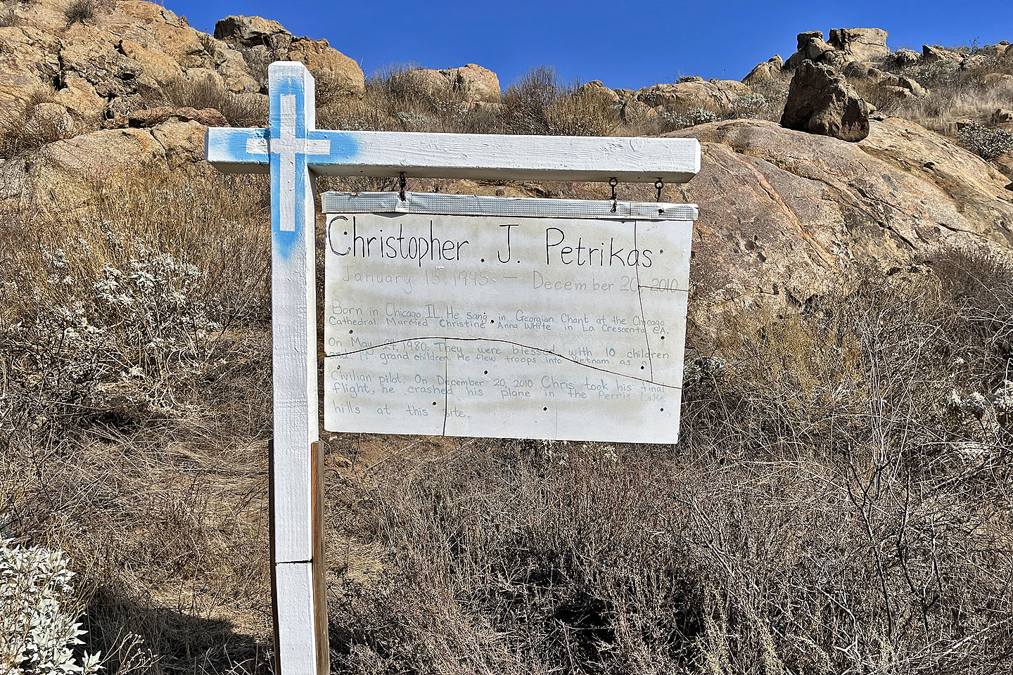 A pilot died in a plane crash here. Mouse over to read.
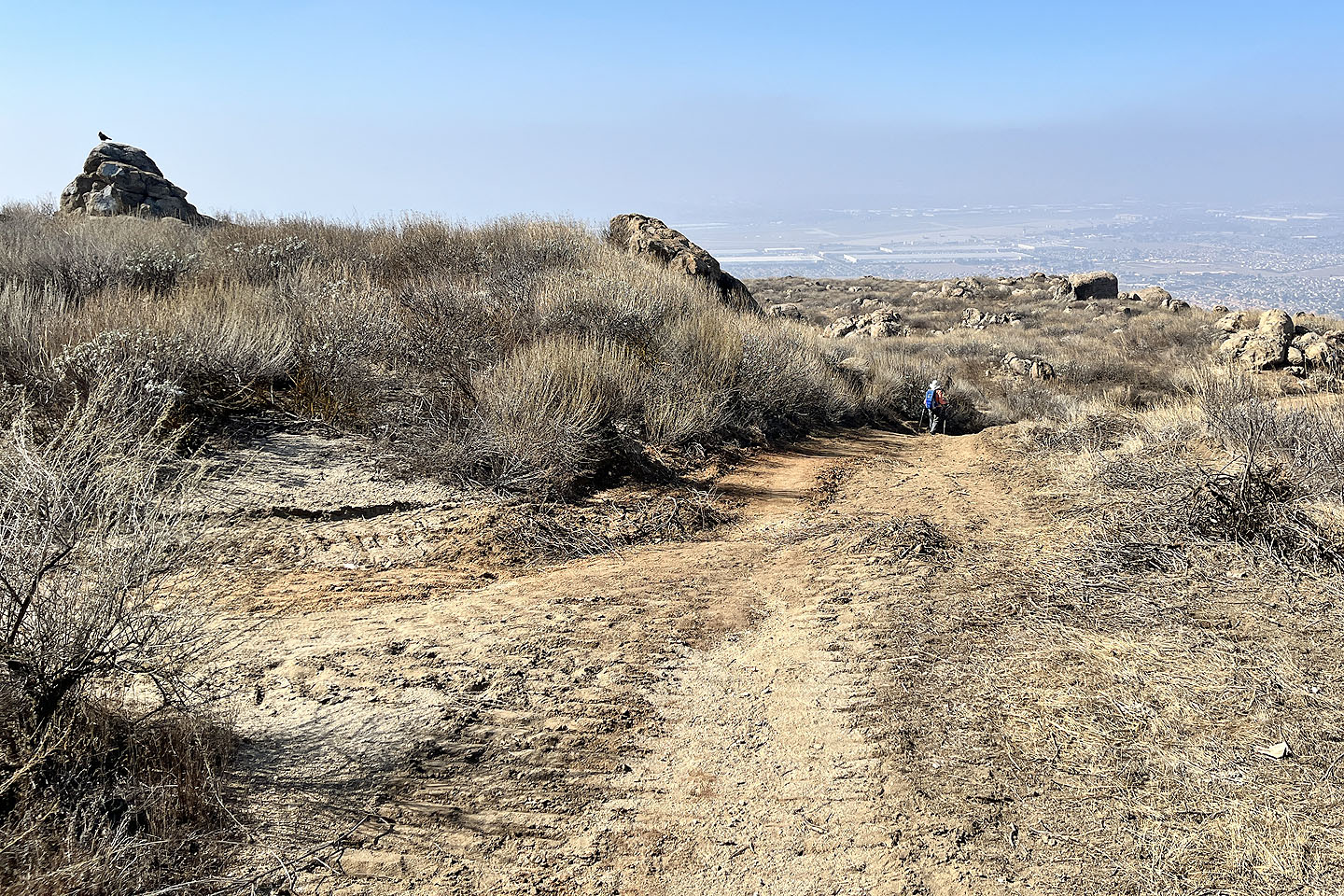
 When the road made a wide turn, we took a shortcut
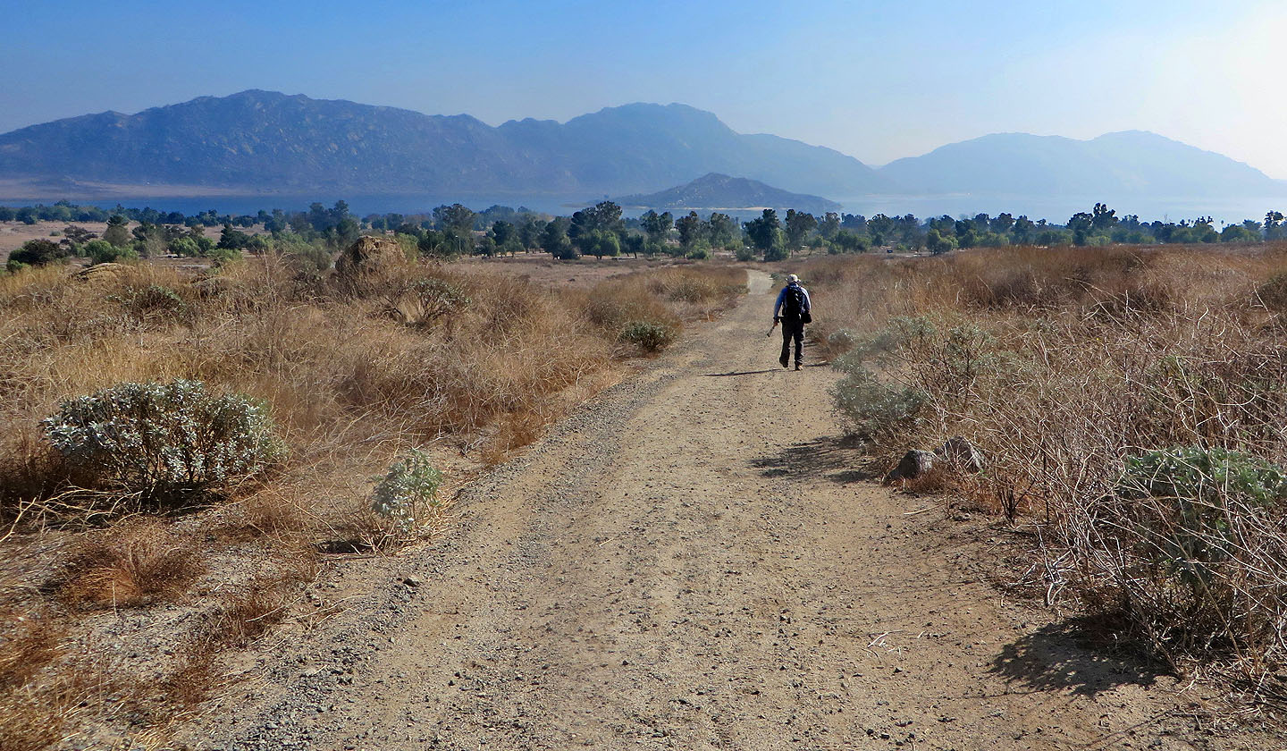
 Continuing down the road toward Lake Perris
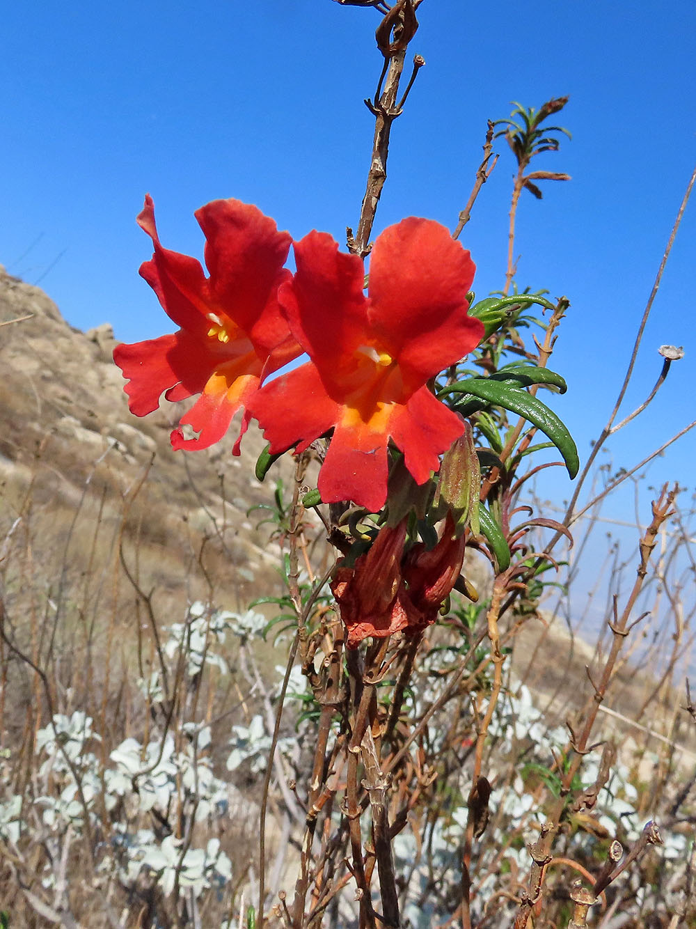
Monkey-flower (mouse over for another view)
 The road leads to a fork (far left) where we kept right
 The trail becomes a single track as it heads to the lake
 Looking back as we turned onto a road
 Heading to the campground
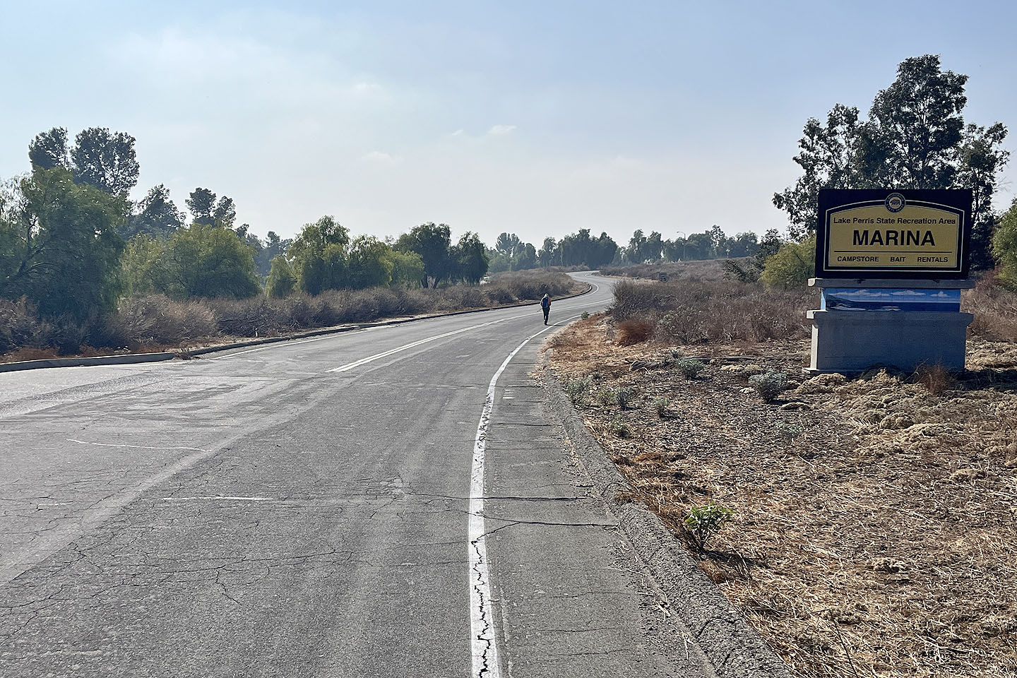 Walking through the park back to our car
 A last look at Terri Peak
Perris, Sunnymead (5.3 mi, 2569 ft, 997 ft)