bobspirko.ca | Home | Canada Trips | US Trips | Hiking | Snowshoeing | Map | About
Pushawalla Palms Loop
Coachella Valley, California
January 21, 2020
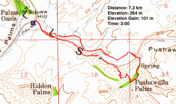
Distance: 7.3 km (4.5 mi)
Cumulative Elevation Gain: 175 m (574 ft)
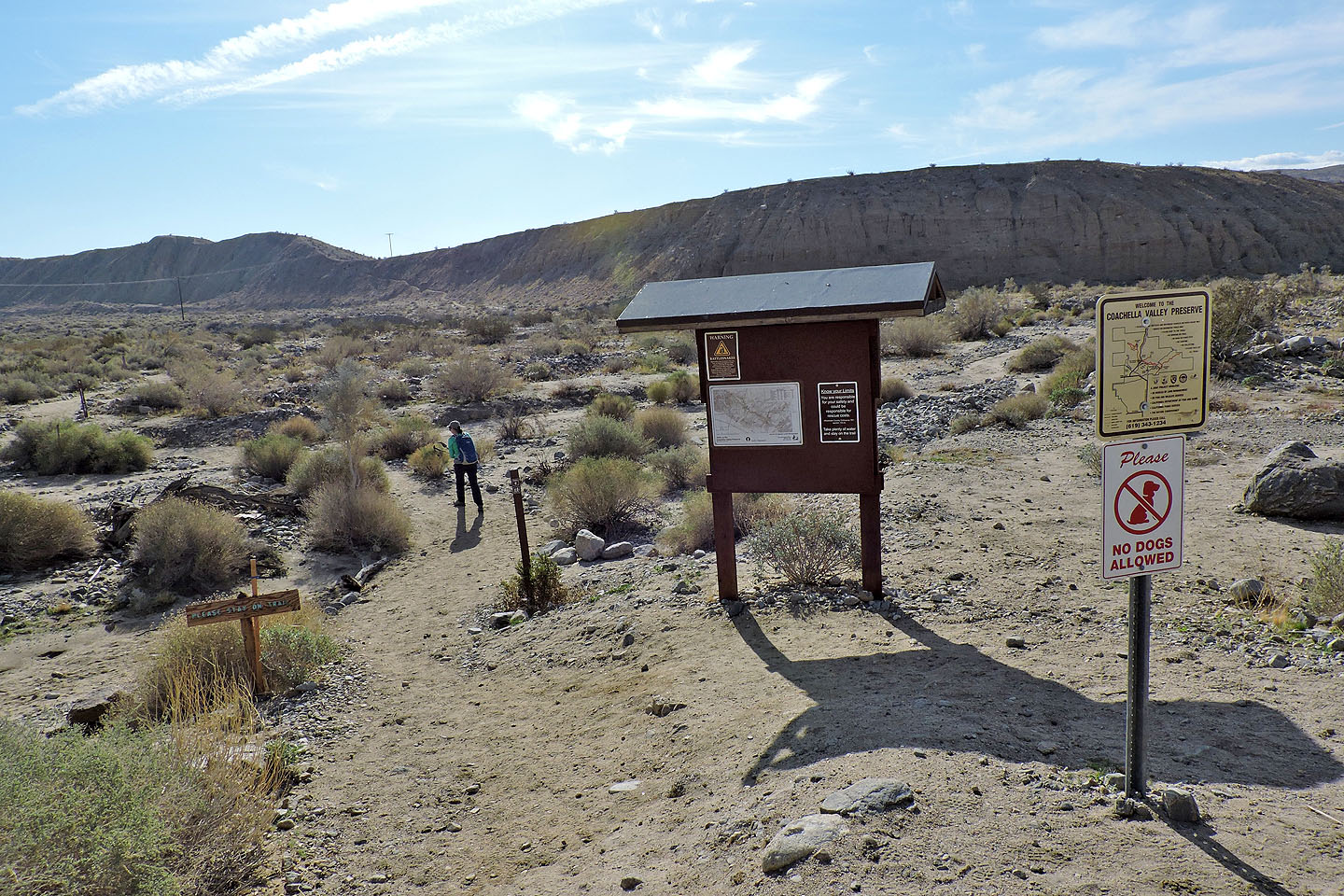
We could hardly visit Palm Springs without visiting one of the area's palm oases. There's nothing like seeing palm trees growing wild in their natural setting. To see them we chose Pushawalla Palms Loop.
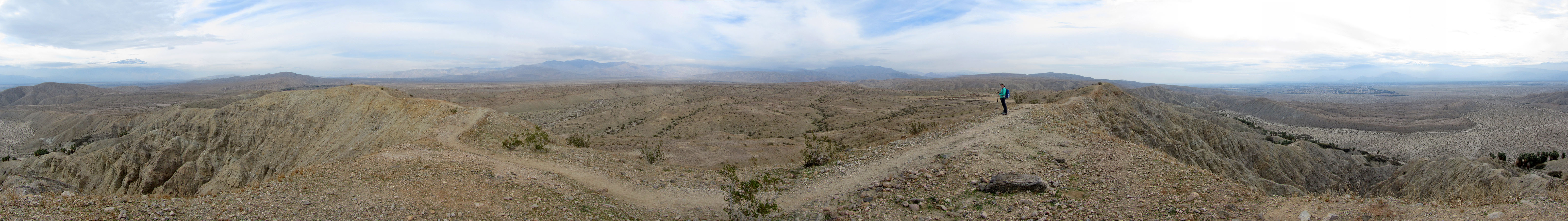
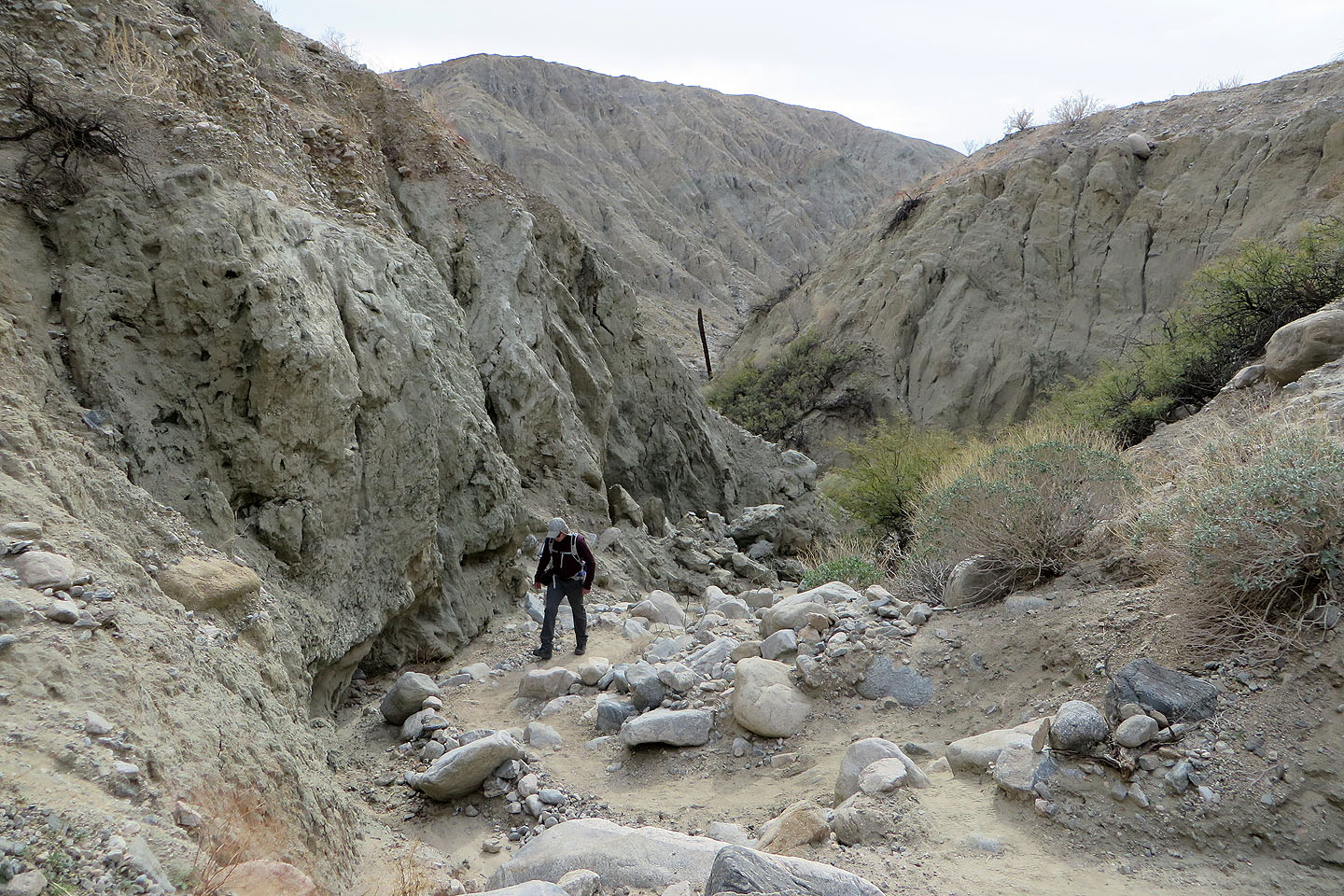
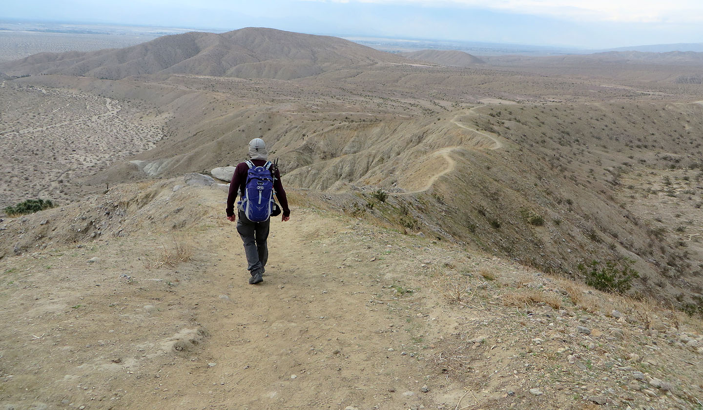
Most of the people we saw on the trail were doing Pushawalla Loop counterclockwise: climbing the ridge, dropping down to the oasis, and then returning on the wash. But Dinah and I did the loop clockwise, saving the ridge for last. Coming back high up the ridge would give us the best view of the San Jacinto and San Bernardino Mountains, putting them in front of us. The disadvantage, as one older gentleman pointed out, meant descending a canyon full of loose rocks which is easier to manage going up. But that mattered little to us.
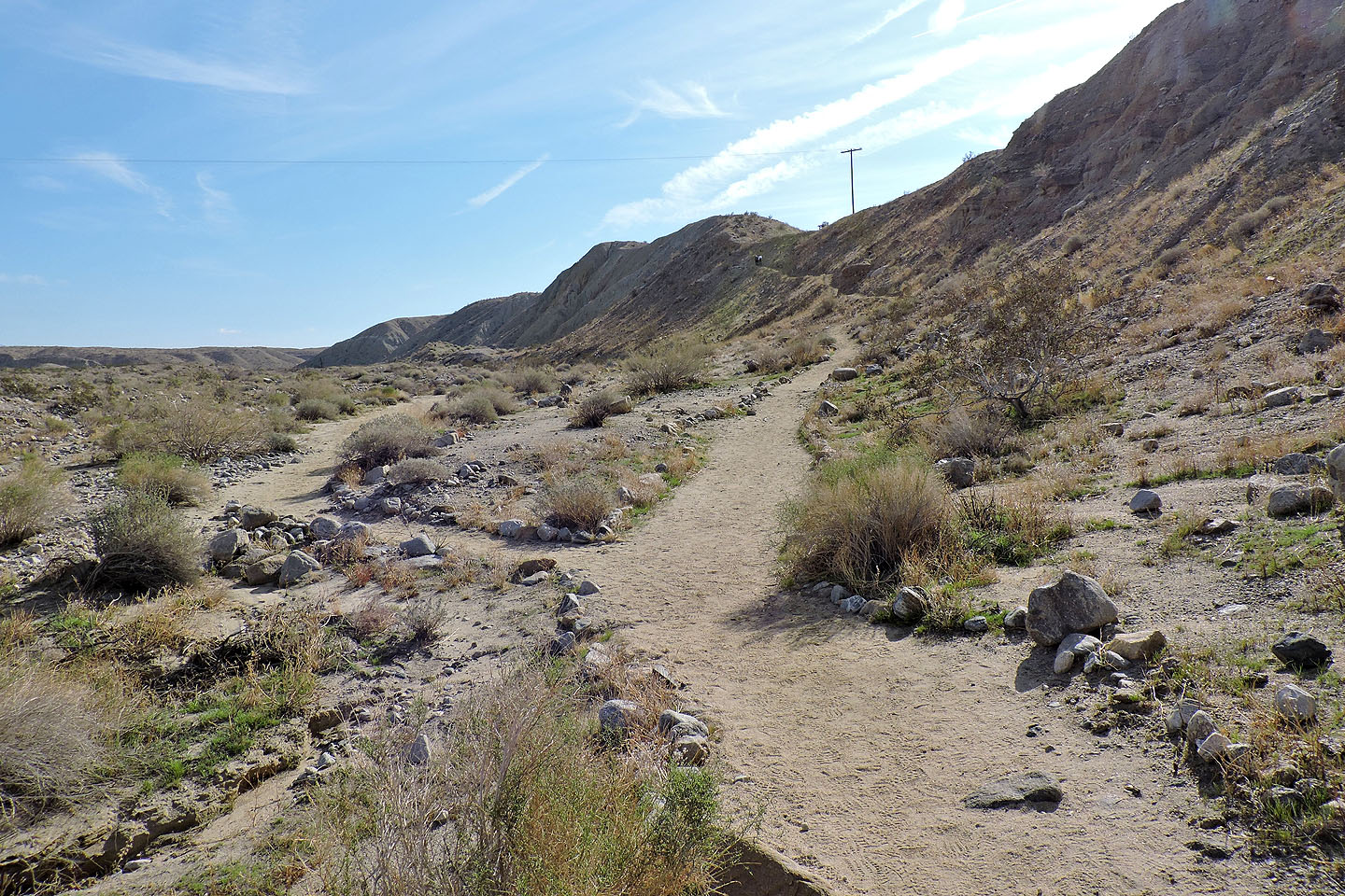
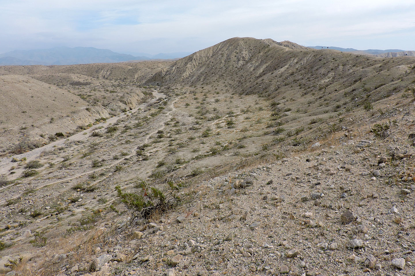
Within minutes of starting, we came to a fork and kept left to follow the trail in the wash. There's little to see here, so we were glad when the trail climbed the plateau-like east end of the ridge. We crossed it, following the trail to the canyon leading to the palms. After dropping down into a valley on the other side, the palm oasis was nearby.
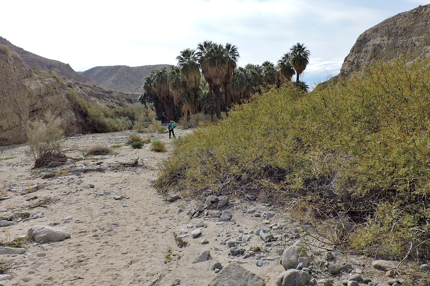
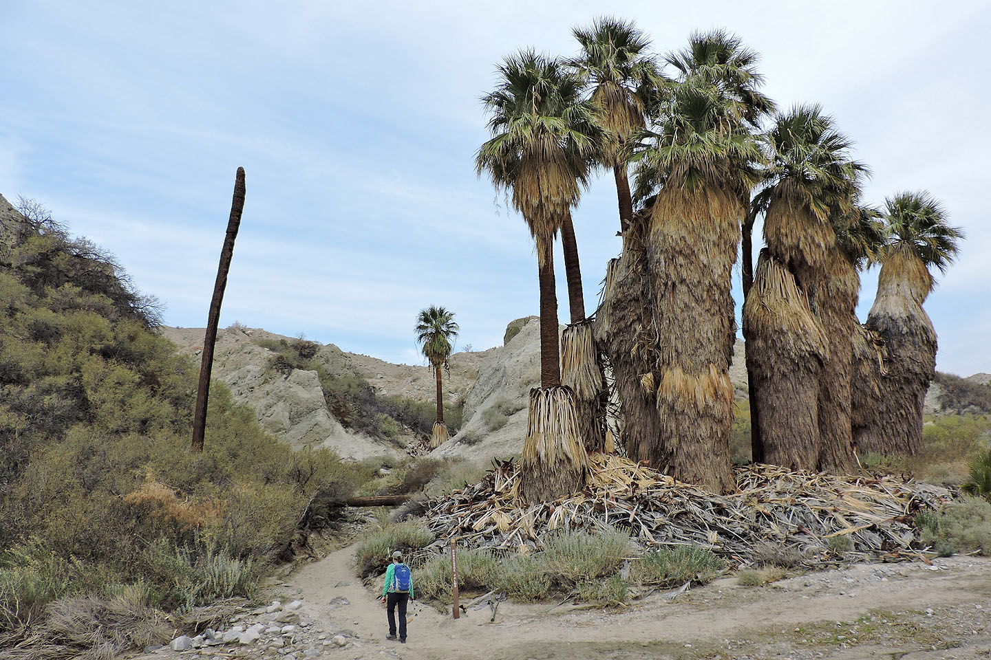
The first palms were especially dense. A trail on the left skirts around them, but it's more fun to take the trail that plunges right through the trees, a brief but veritable jungle. After emerging, there were more palms to see but they were spread out. We hiked down the valley to the second canyon where a trail climbs the ridge.
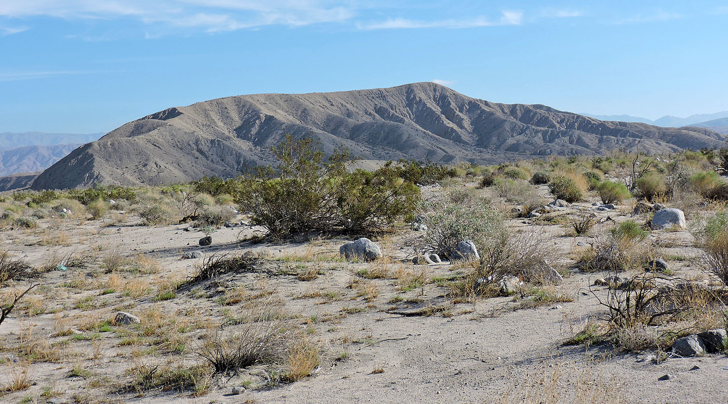
Here the ridge top is still plateau-like, but ahead it rises to a distinctive crest, a real ridge. We were soon on the highest point. Unfortunately, clouds prevented us from seeing much of the mountains to the west. Even so, we enjoyed the long ridgewalk. We followed the trail as it snaked along the crest before dropping down to the fork we had reached earlier – a more satisfying ending than if we had come out on the featureless wash.
Pushawalla Loop includes traversing this low, nameless ridge
Starting up the trail
A few minutes later we came to a fork. We went left, into the wash. Right climbs the ridge.
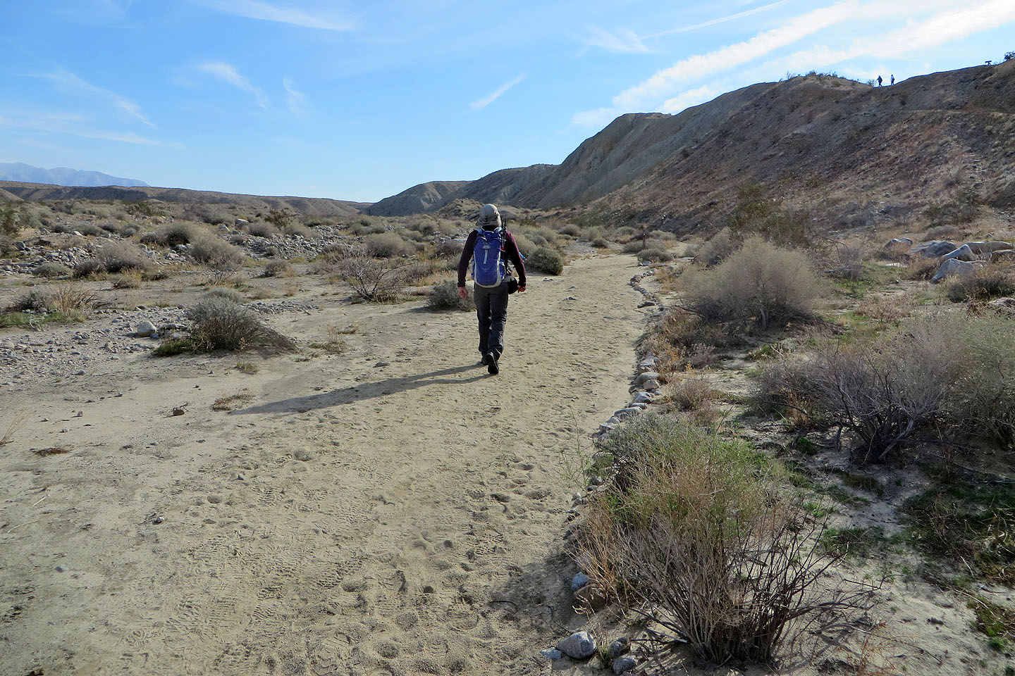
Hiking up the wash/trail
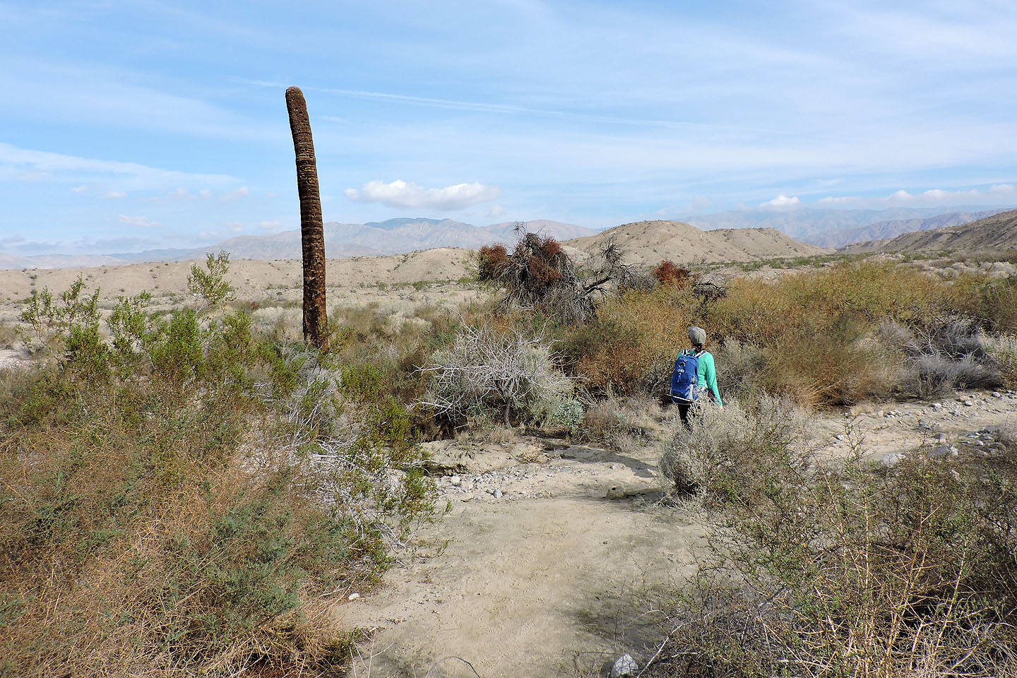
Dinah passes a solitary dead palm tree
The trail exits the wash
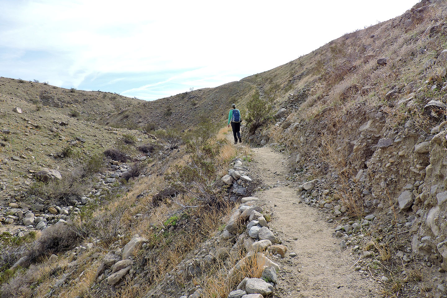
The trail climbs above a wash
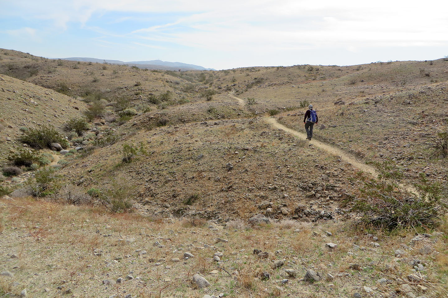
A short time later we crossed the plateau-like east end of the ridge
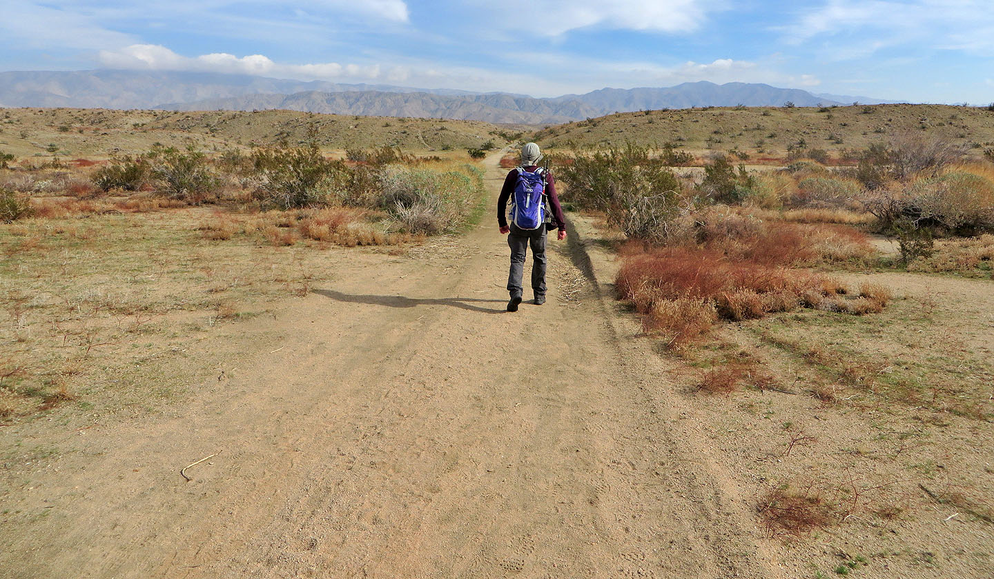
The trail briefly follows a road
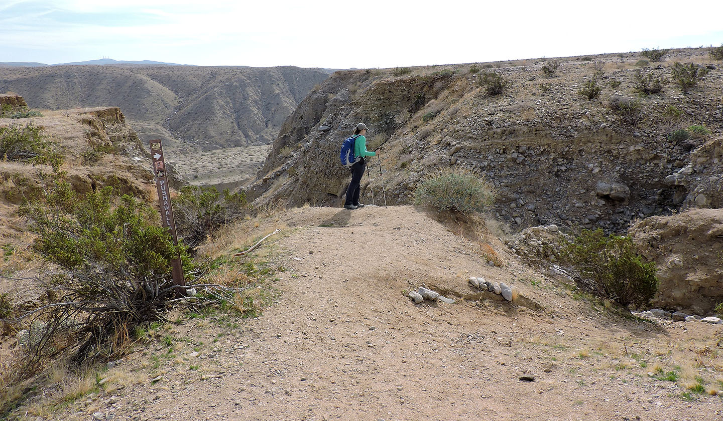
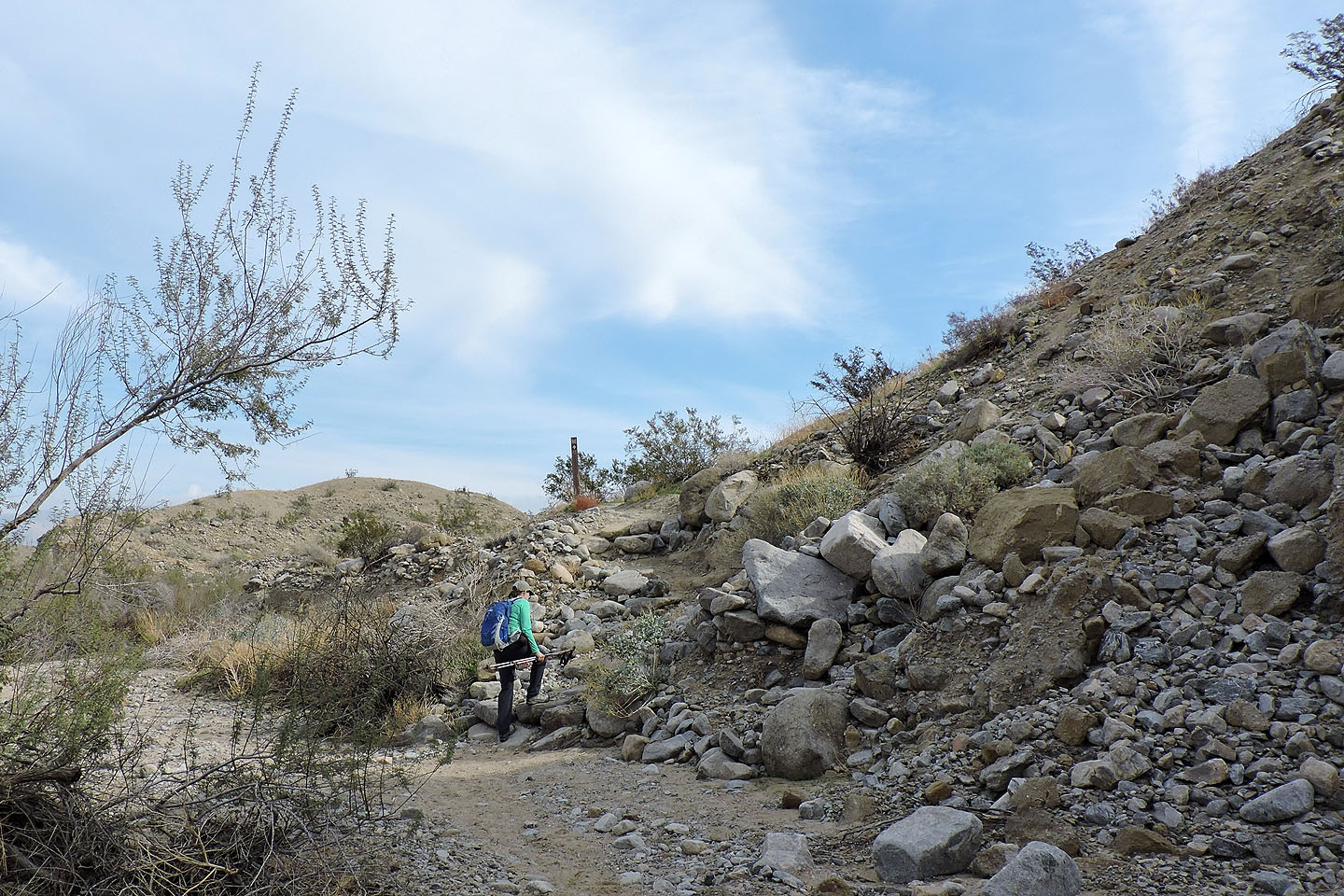
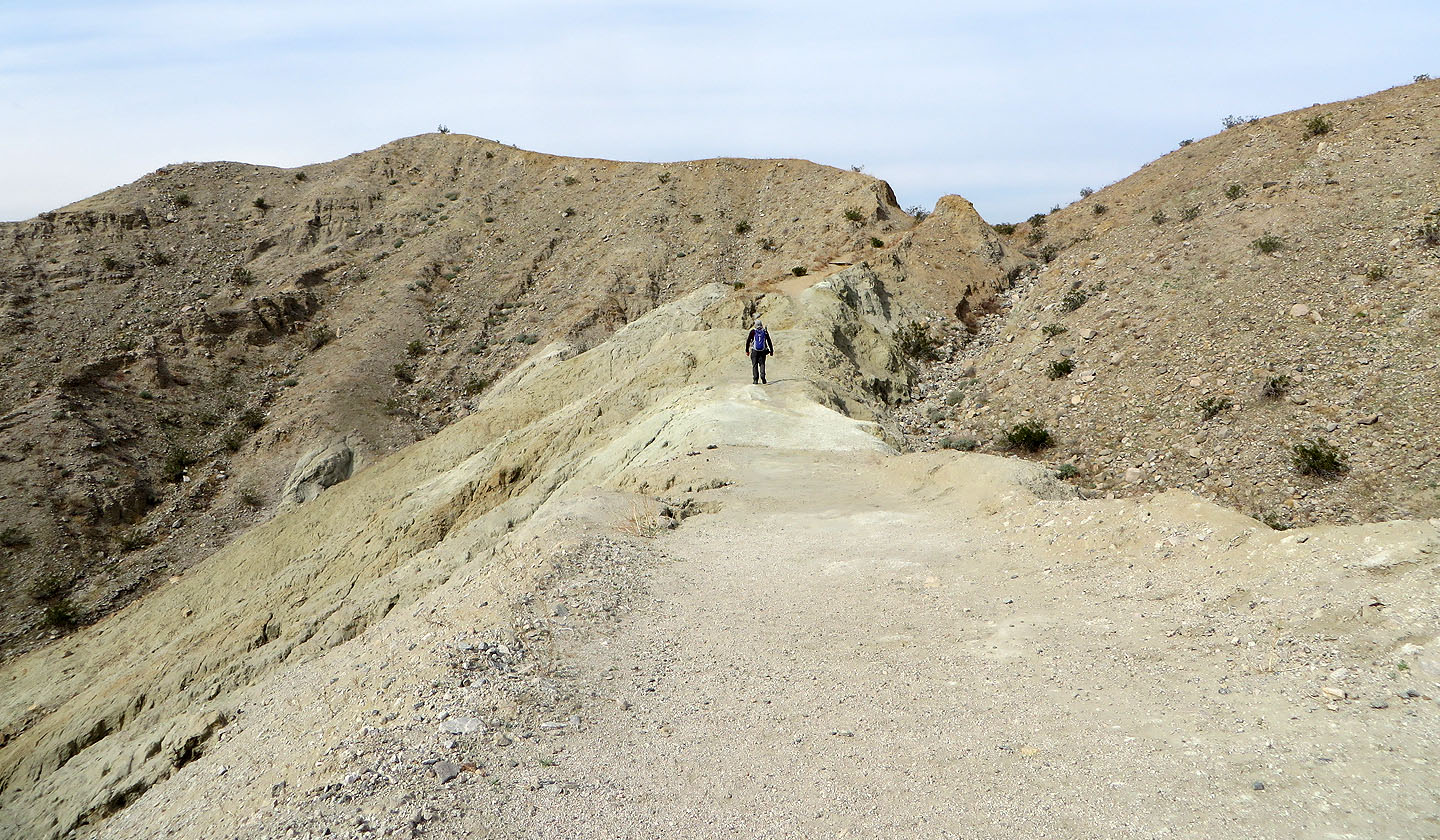
The trail starts down a canyon
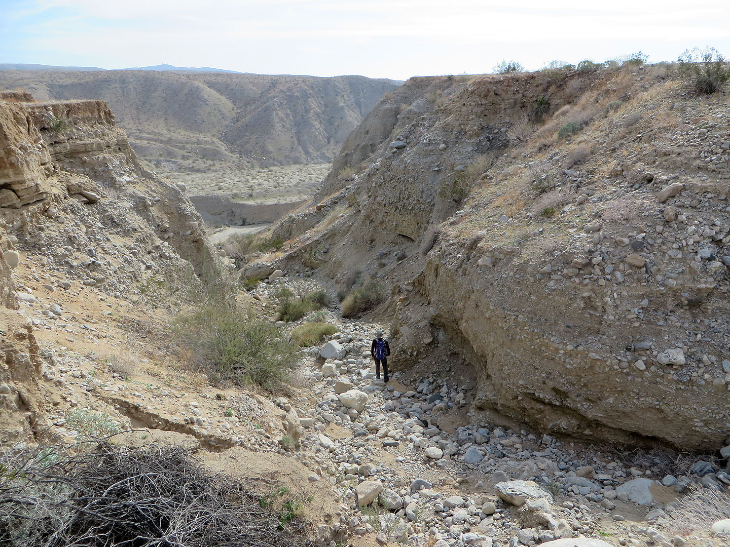
Loose rock extends all the way to the bottom
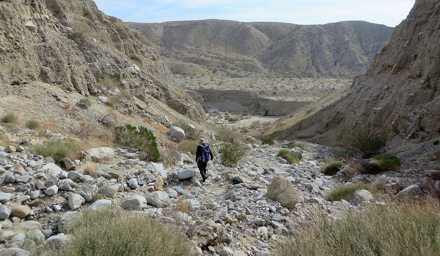
Some people might prefer going up the rocky canyon instead of down
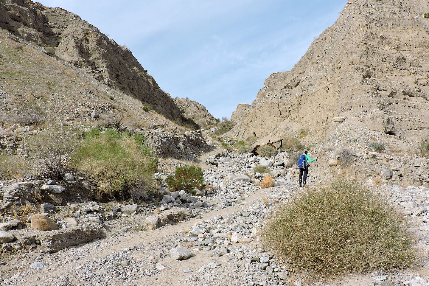
Looking up the trail after reaching the bottom
The palm oasis is a short distance from the canyon. The thickest grove is ahead.
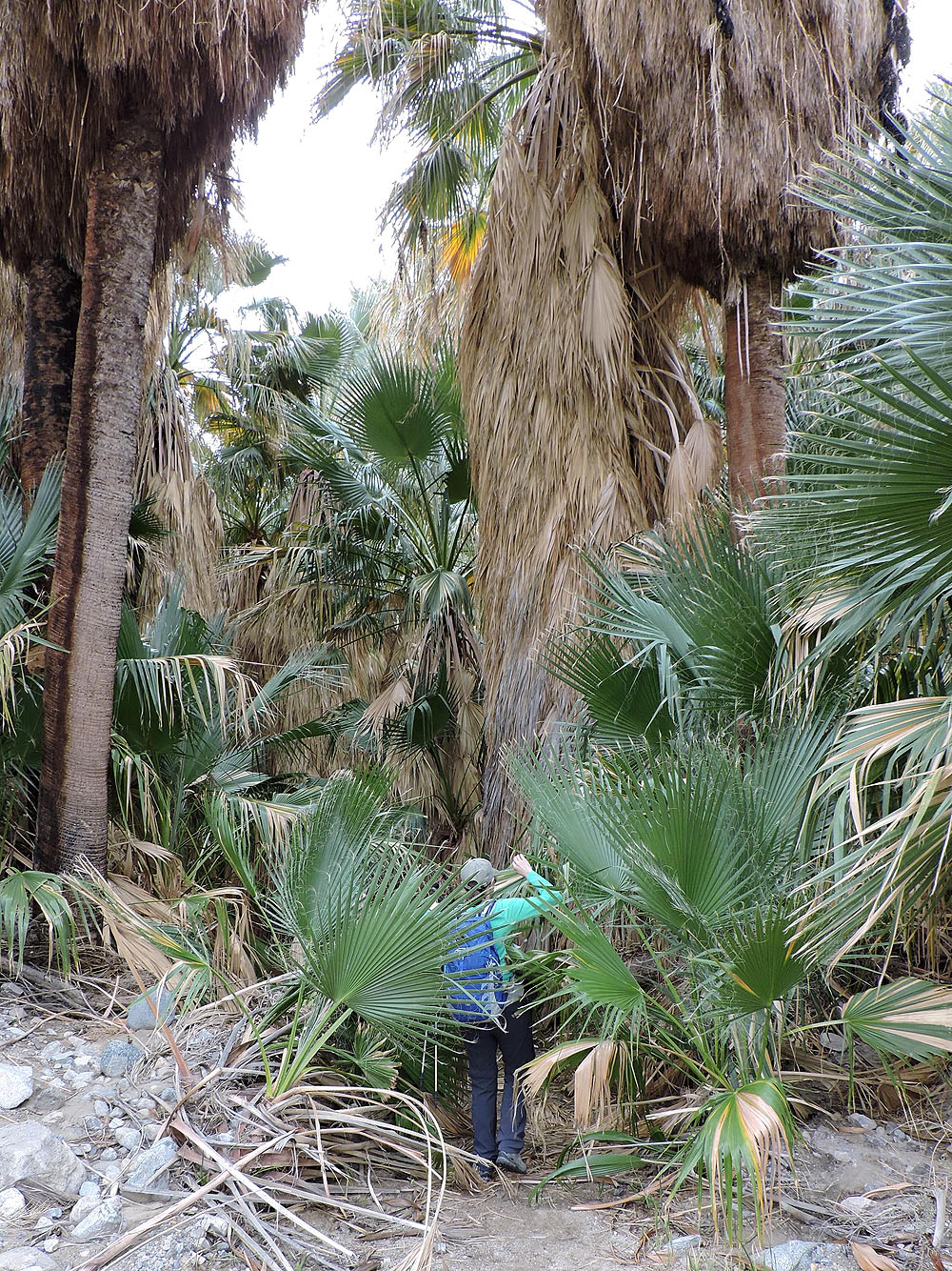
Dinah pushes her way through the trees
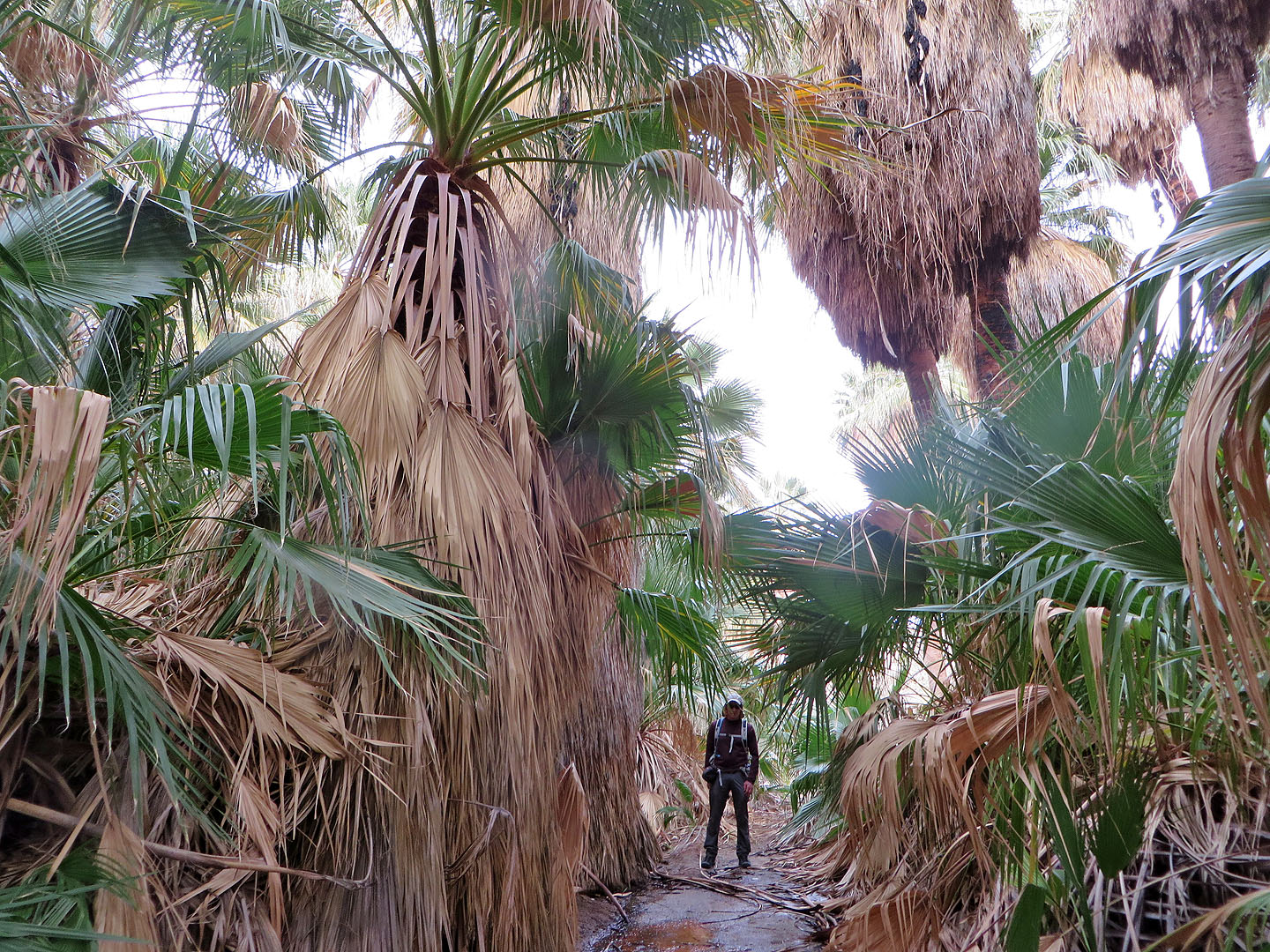
I'm right behind her
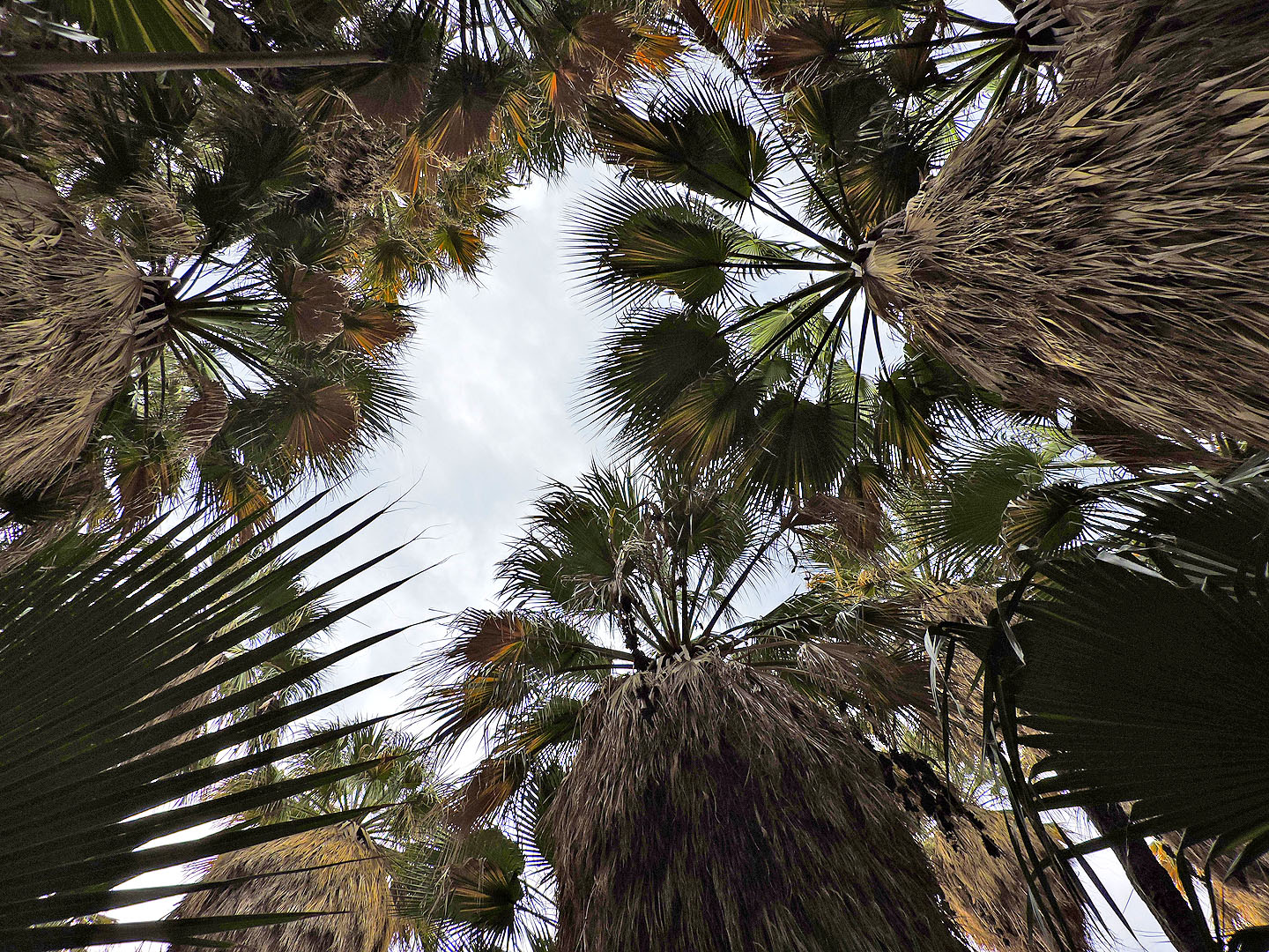
Looking straight up
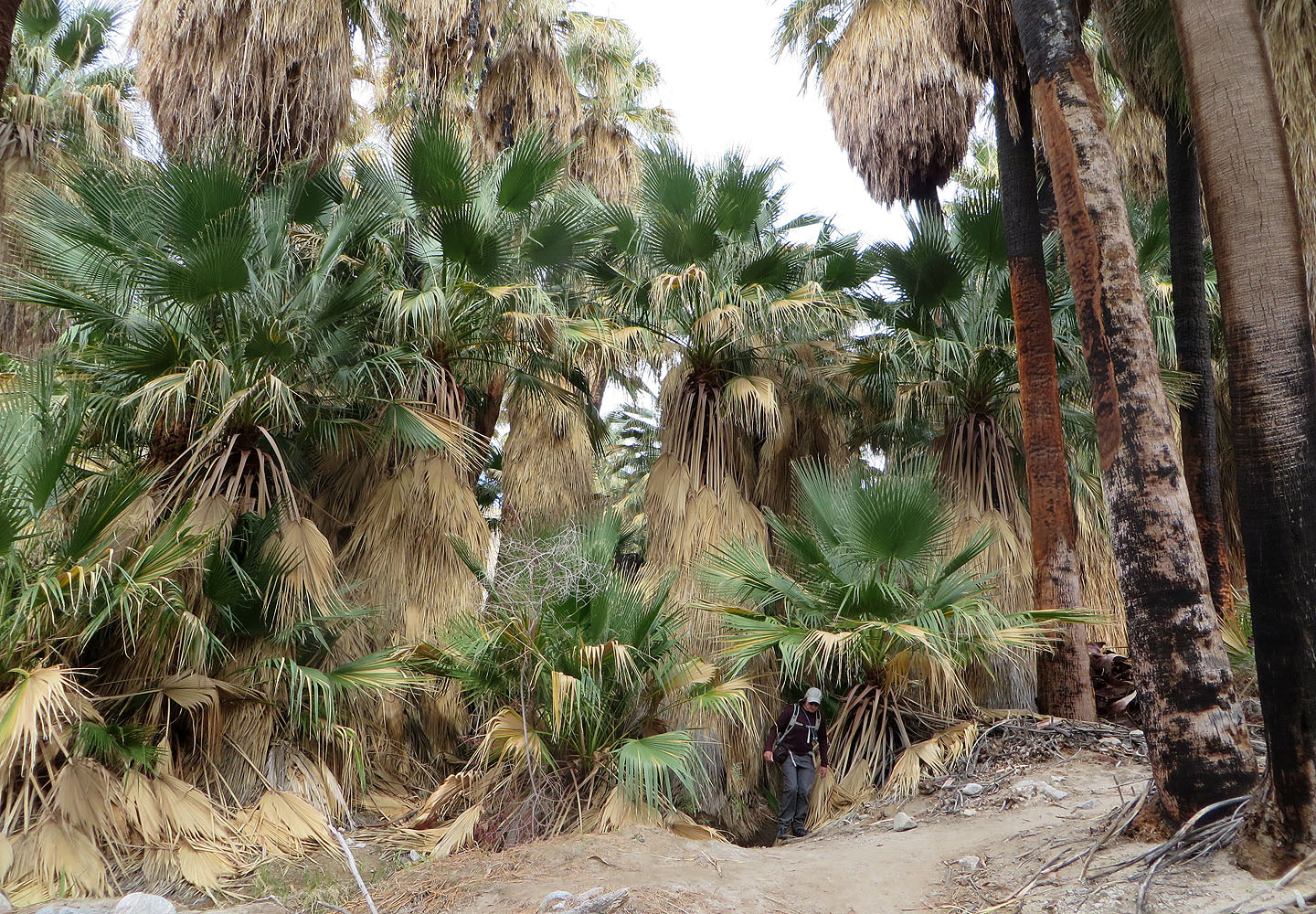
Coming out the dense grove
We continued through the trees
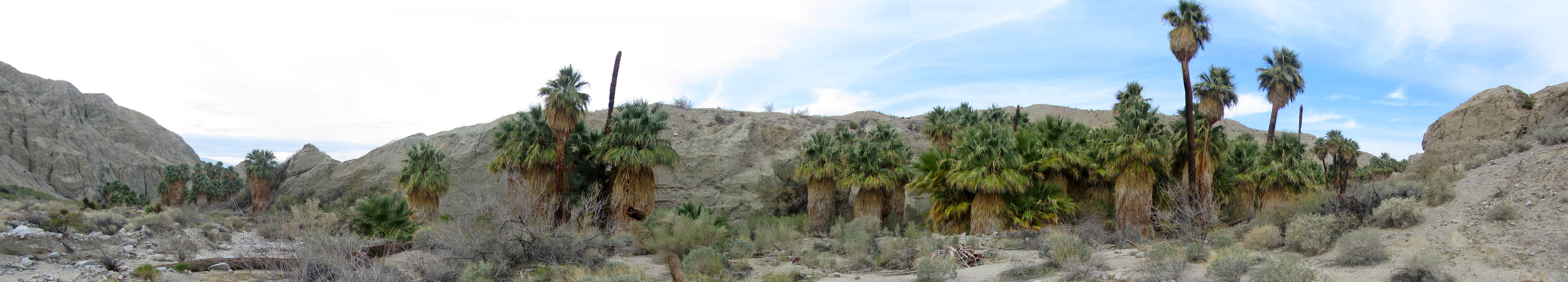
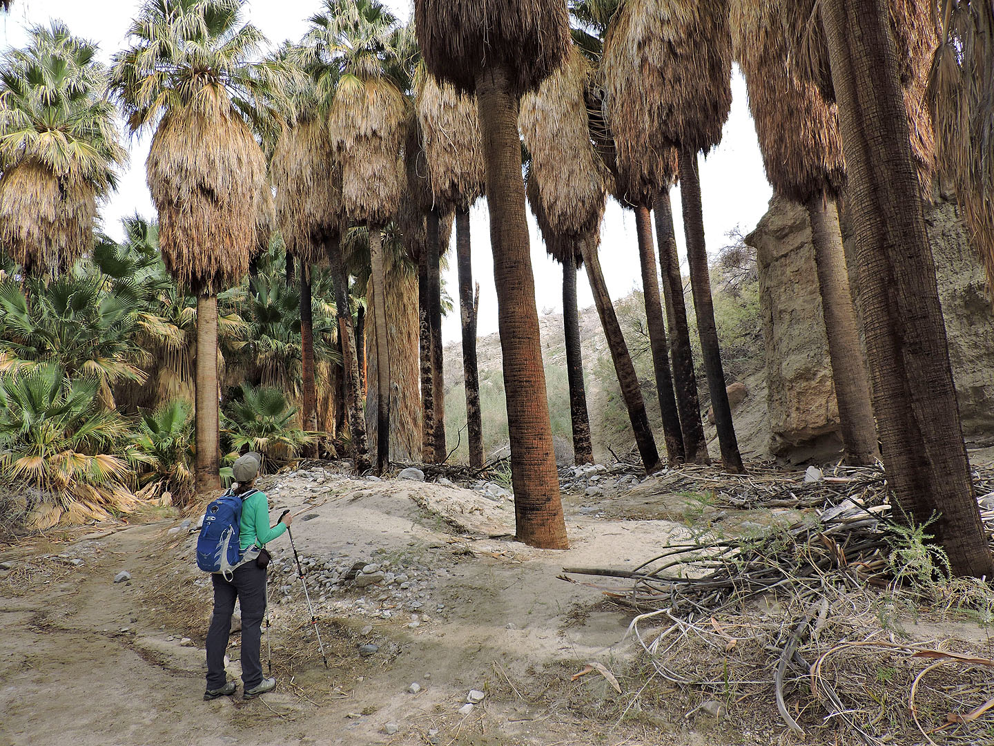
The palms stretch along the valley
Heading to the exit canyon
Unlike the canyon we came down, this one has no loose rocks
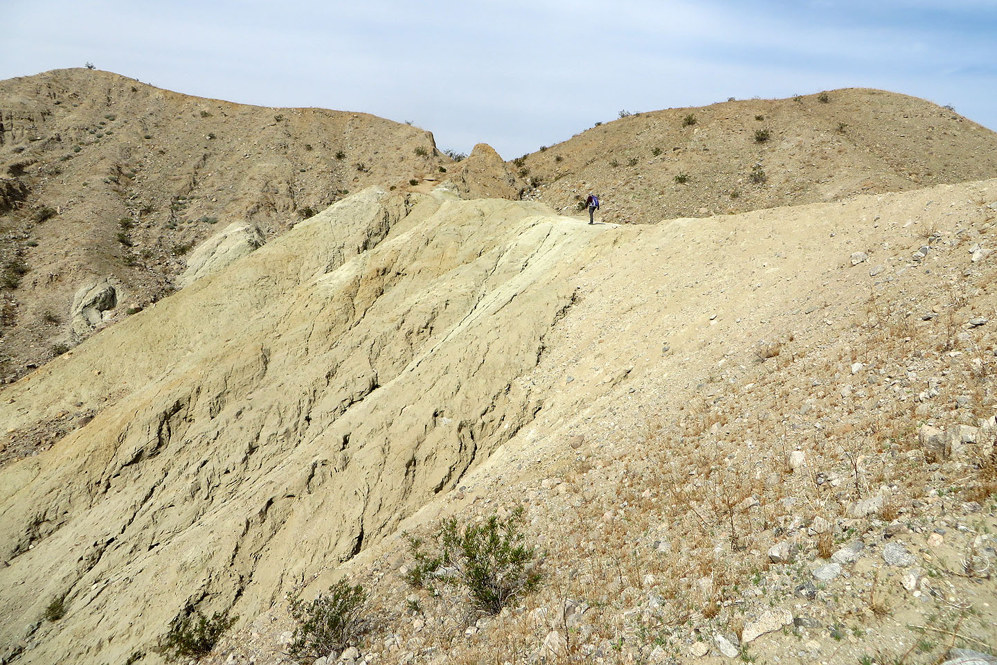
The trail heads to the top of the ridge
Continuing up
The trail climbs the ridge ahead. San Jacinto Peak is seen poking above the clouds on the left.
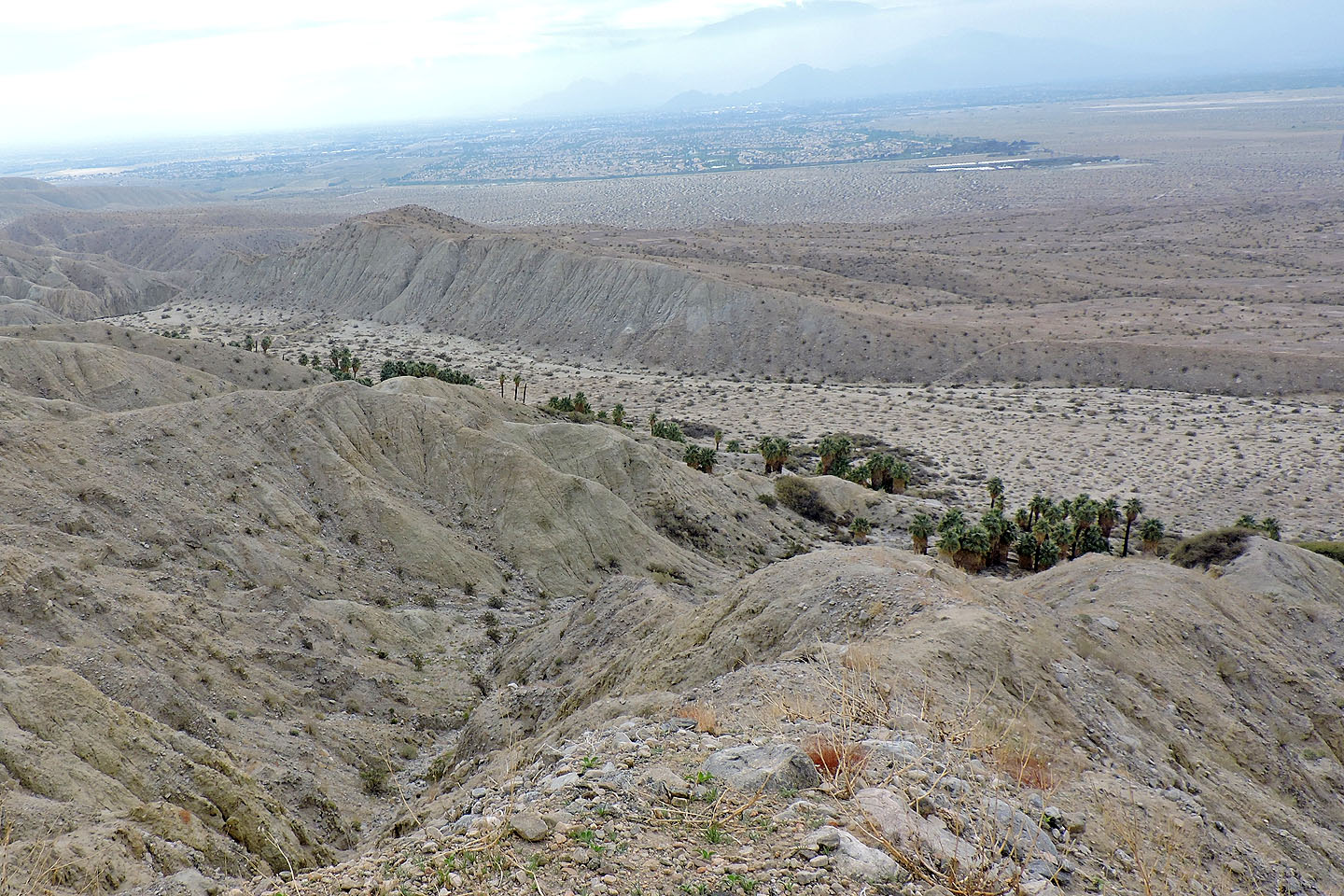
Looking down at Pushawalla Palms
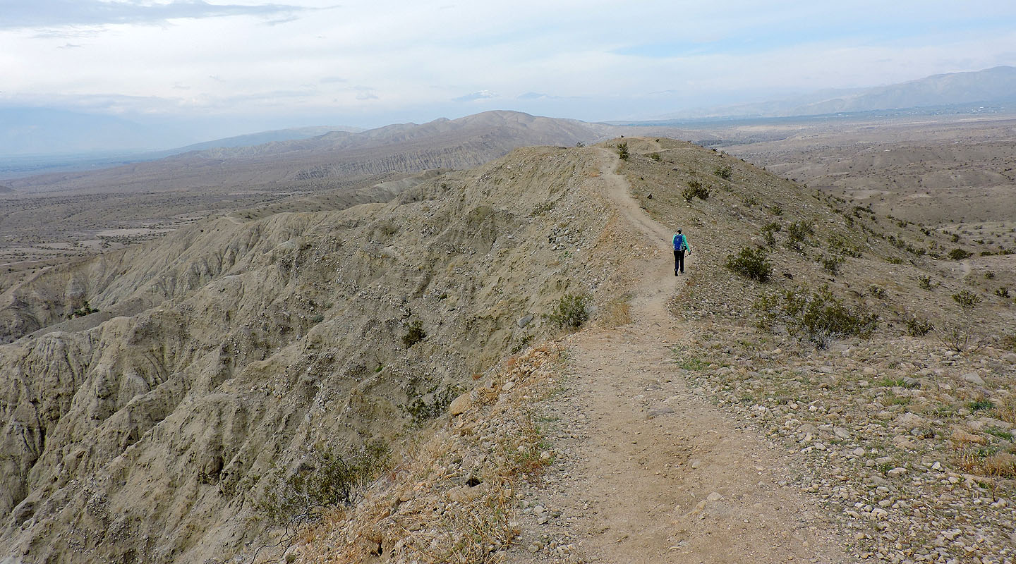
The highest point is ahead
The ridge trail extends ahead
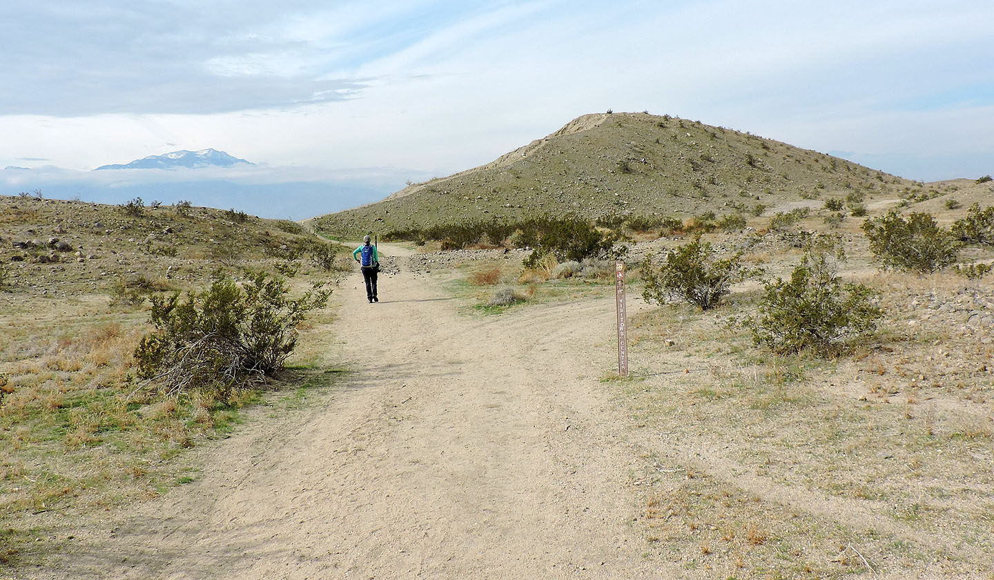
Behind and below us is the trail in the wash
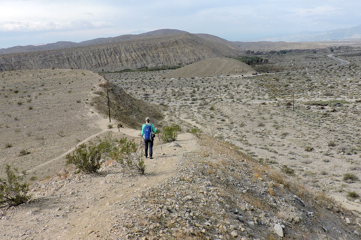
We'll soon be back at the parking lot
Myoma (4.5 mi, 866 ft, 331 ft)