bobspirko.ca | Home | Canada Trips | US Trips | Hiking | Snowshoeing | MAP | About

Pinto Mountain
Mojave Desert, California
October 13, 2013
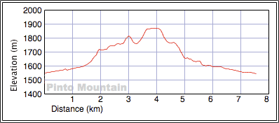
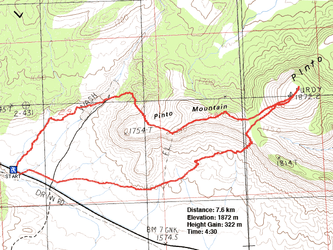
Distance: 7.6 km (4.7 mi)
Cumulative Elevation Gain: 374 m (1227 ft)
As we drove down Highway I15 toward the Mojave Desert, I told my hiking partners that I wanted to climb Fountain Peak. By "partners" I mean Dinah Kruze and Sonny Bou. Weeks ago, after Dinah and I told Sonny we were spending a week in Las Vegas, he surprised us by booking the same flight, and now the three of us were motoring toward the Nevada-California border. Anyway, it turns out that both Dinah and Sonny were better informed than me: the access road to Fountain Peak has been closed for years. Fortunately I had a backup plan, Pinto Mountain. Although not as strenuous as Fountain Peak – Pinto is rather tame – it had a few things advantages such as not driving back without reaching a summit.
As described in Andy Zdon's Desert Summits, the route begins in a wash west of Pinto Mountain and then ascends the ridge that leads to the summit.
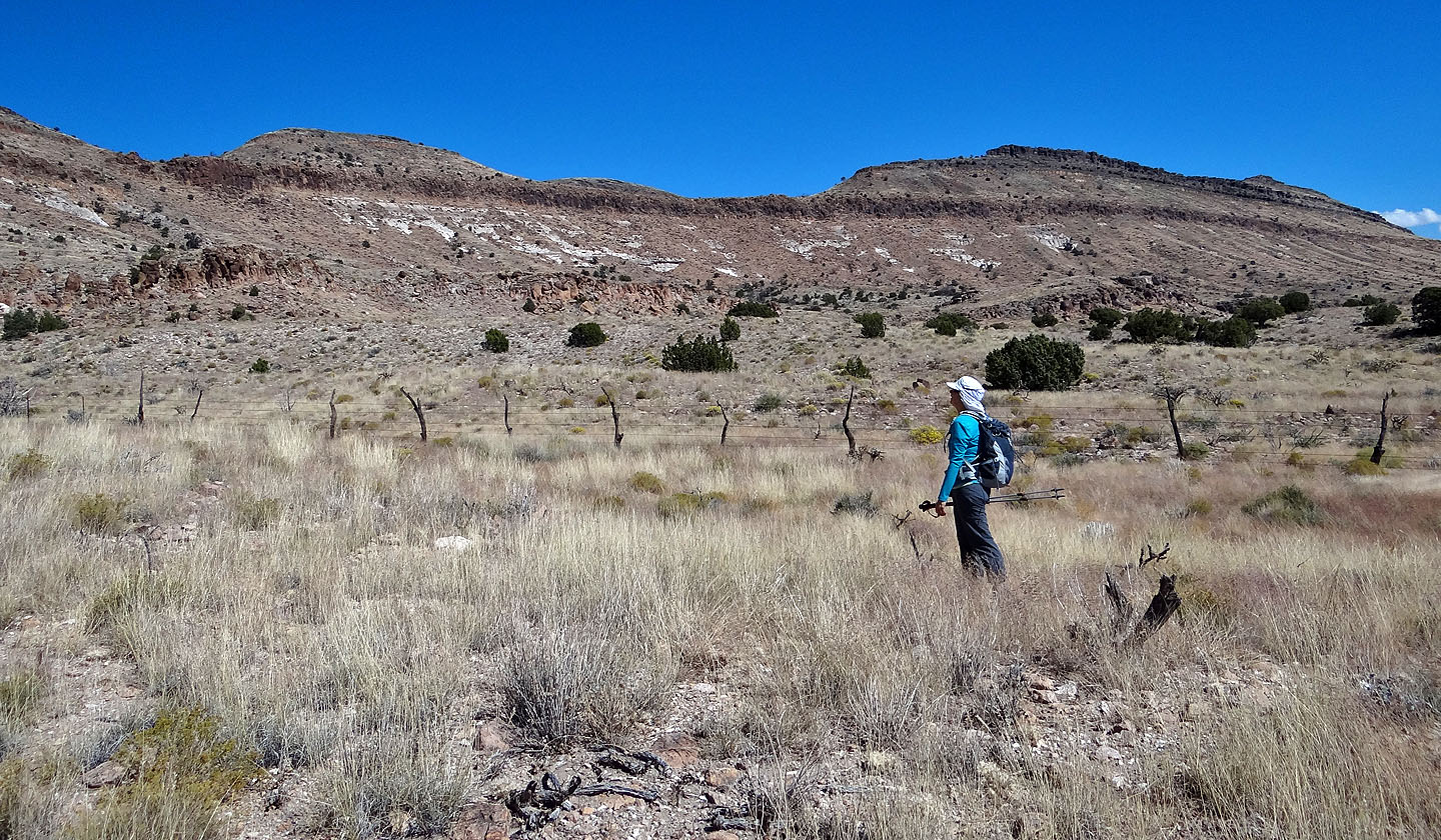
Not wishing to park on the road, we found a suitable spot on the shoulder, one free of rocks and bushes. Unwittingly though, this placed us too far west and in the wrong wash. But after going over a low ridge, we dropped down into the correct wash. We soon noticed a side wash heading to the ridge we wanted to gain and hiked up it.
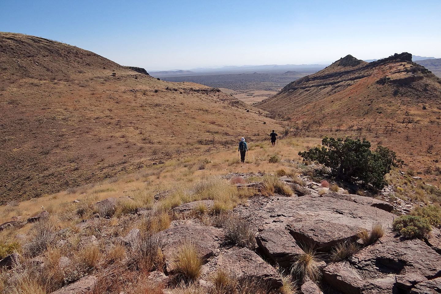
After reaching the crest, the landscape ahead appeared mesa-like. We crossed a broad, gentle slope and came to bluffs overlooking Round Valley. We had a fine view of the valley, but we were unable to see Pinto Mountain because of intervening high points. We bypassed the first high point on the right and hiked over the second before seeing the bland, round summit of Pinto. Actually the summit appeared more flat than round. Upon reaching it we couldn't possibly pinpoint the highest point. Undaunted, we climbed as high as we could, up a dead tree, and set the camera timer to take a summit pose.
Instead of returning along the undulating ridge, we found a weakness in the cliff band below Pinto and climbed down (the entire trip was no more than class 2.) We headed across the flats to our car.
When we set out that morning, we knew that the national parks were closed but didn't know if that included the area we were hiking in. However, a note found on our car made it clear: we aren't allowed to stop or park while driving through Mojave National Preserve. A government shutdown arising from political disagreement had closed all national recreation areas in the States. It's ironic that hiking, an activity beneficial to one's health and well-being, should fall victim to a debate over healthcare insurance.
KML and GPX Tracks
Sonny's Trip Report
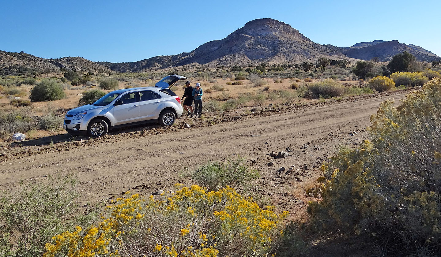
Starting from our approach wash
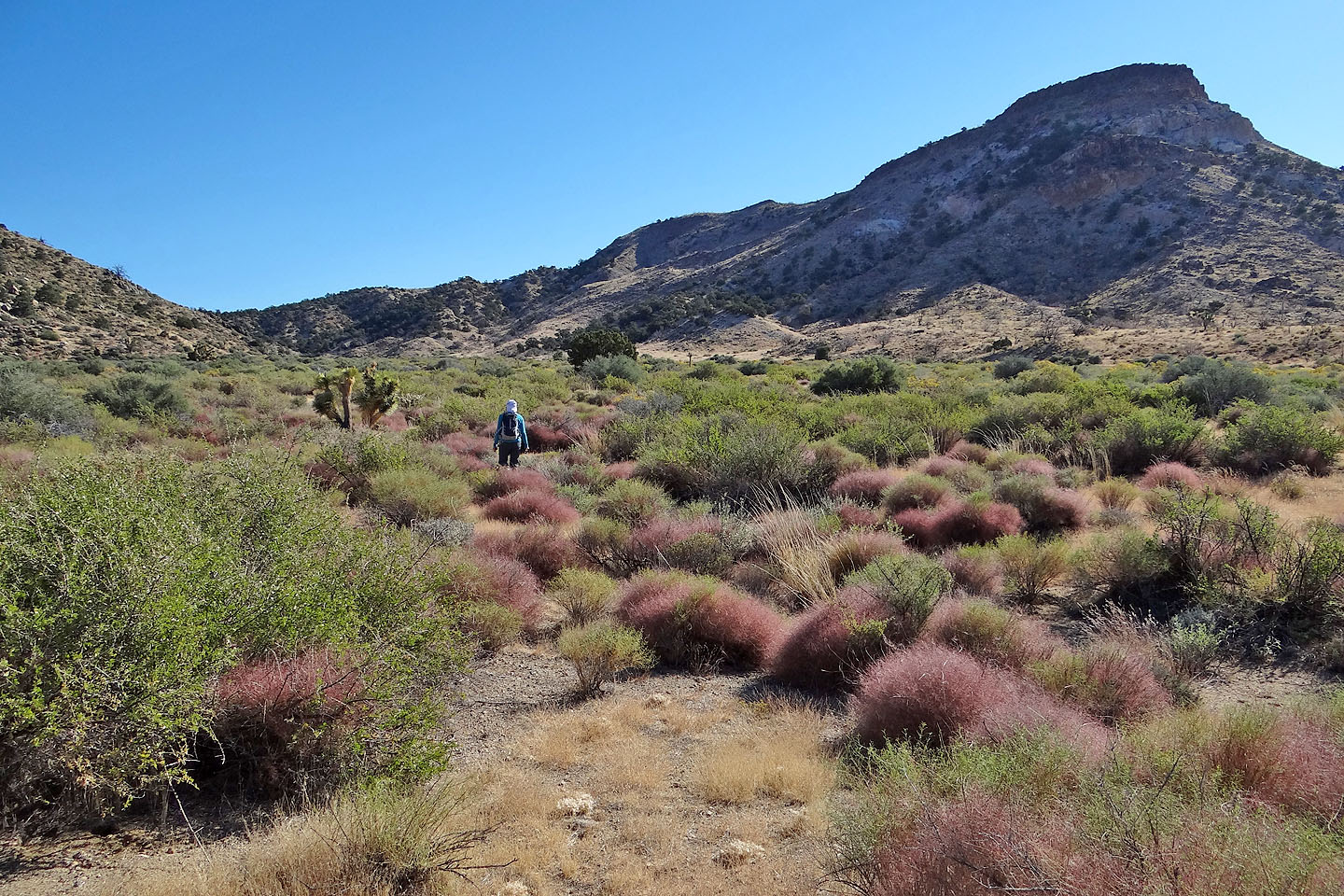
Heading up the wash
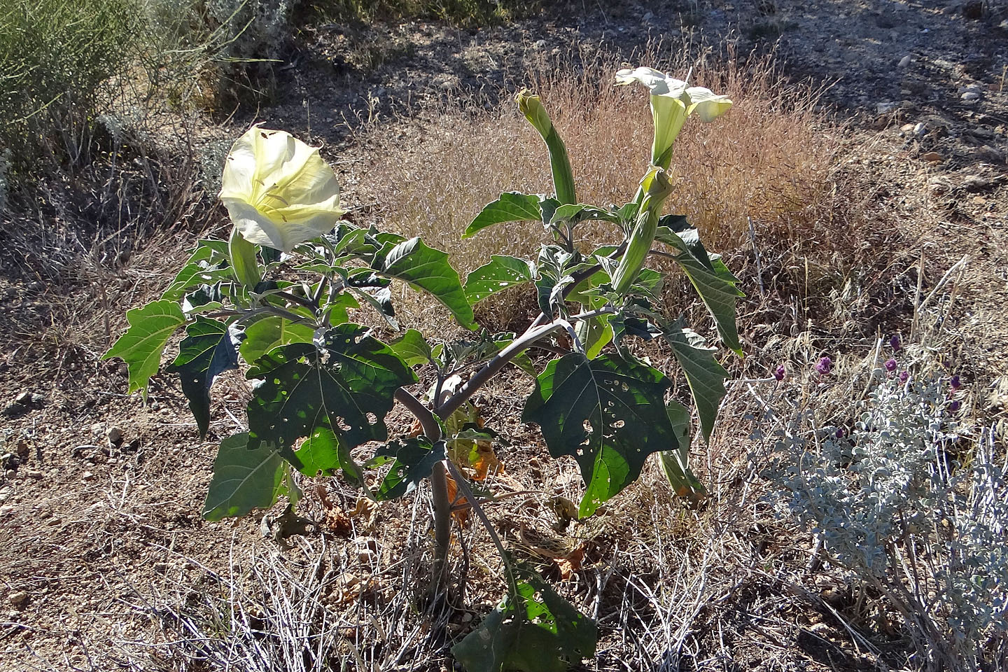
Jimson-weed bears 4-inch flowers and is highly poisonous
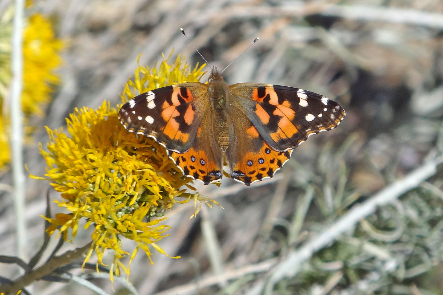
As we hiked up the wash, we passed flowering bushes. Before reaching them, they exploded in
a cloud of these butterflies, taking flight as we disturbed them and disappearing in seconds.
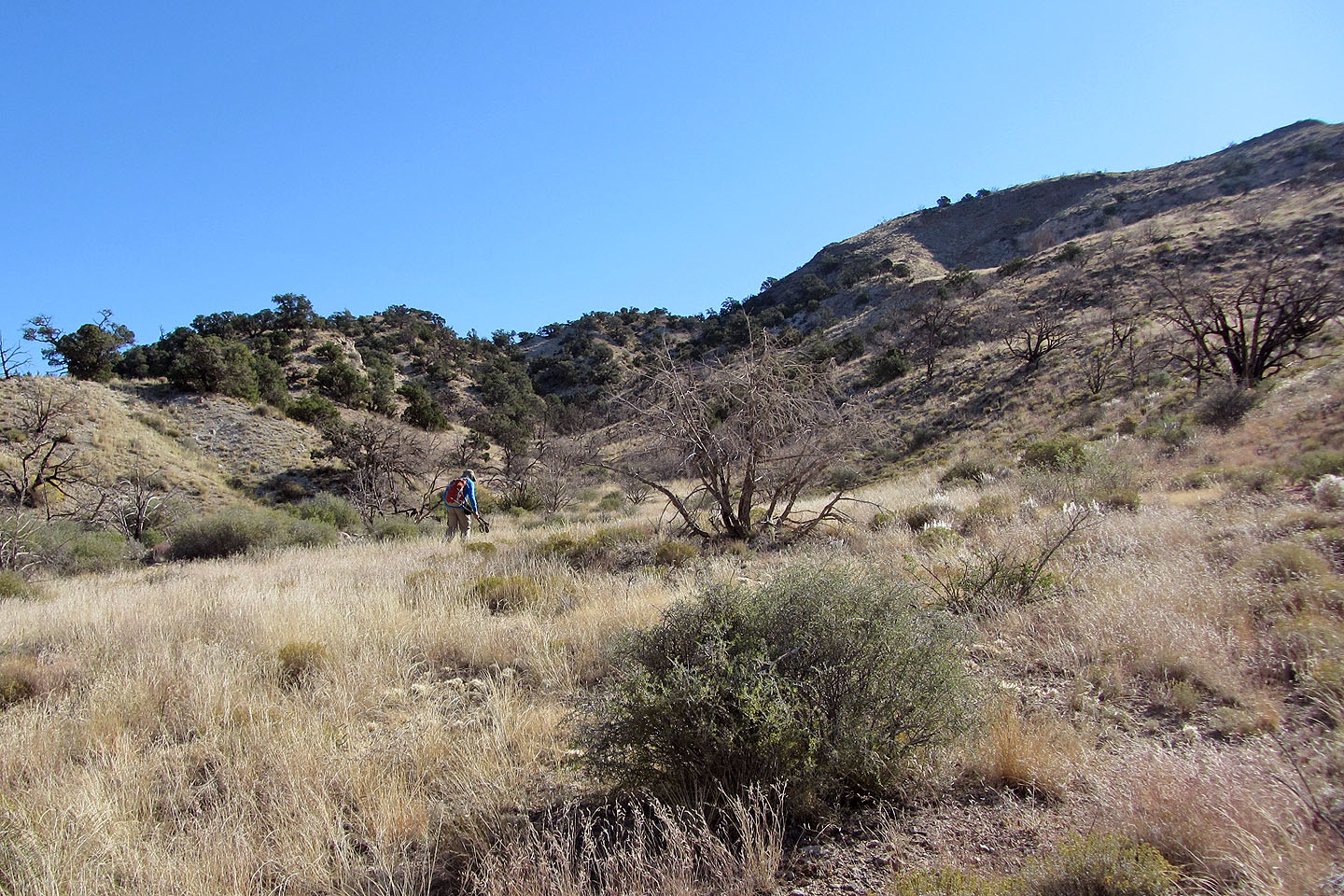
Starting up a side wash which will take us to the ridge
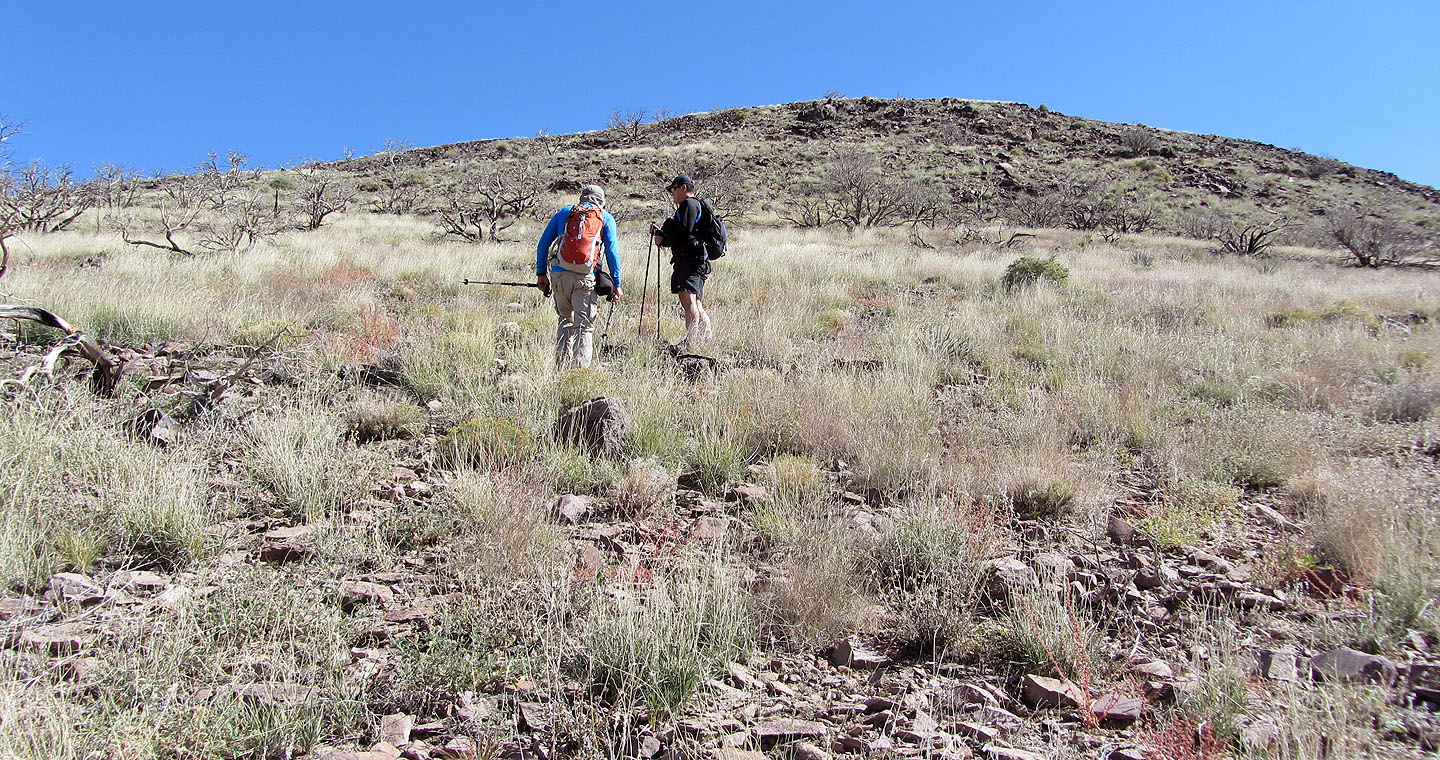
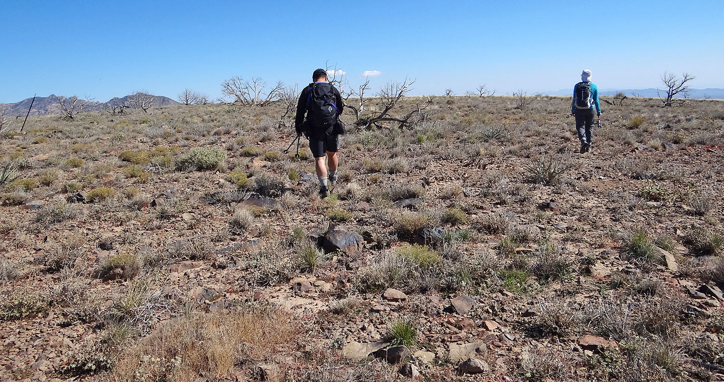
Easy ascent to the ridge
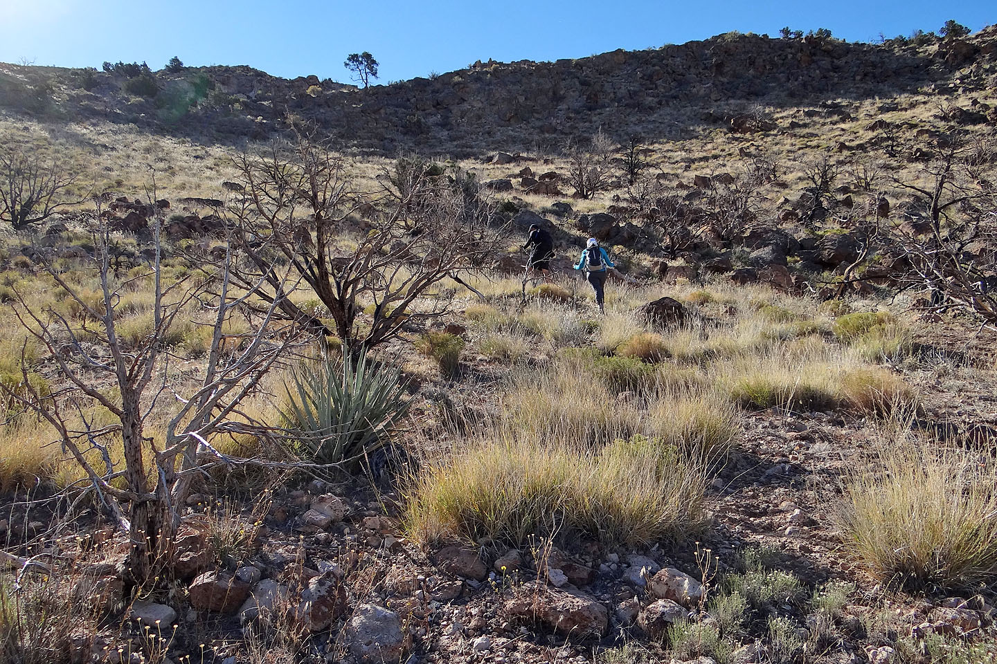
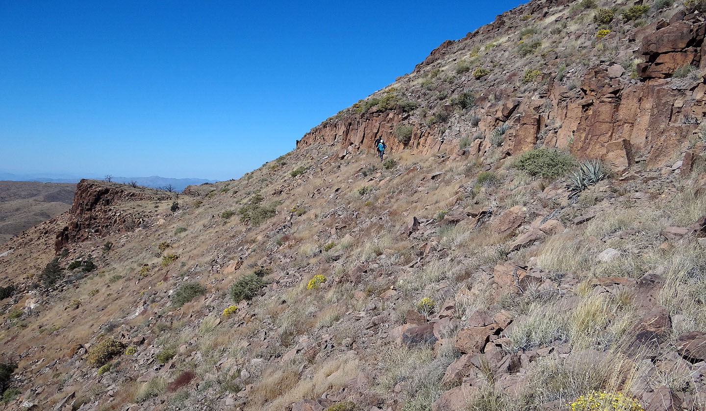
After reaching the ridge, we dropped down to a broad slope and skirted the high point ahead
on the right
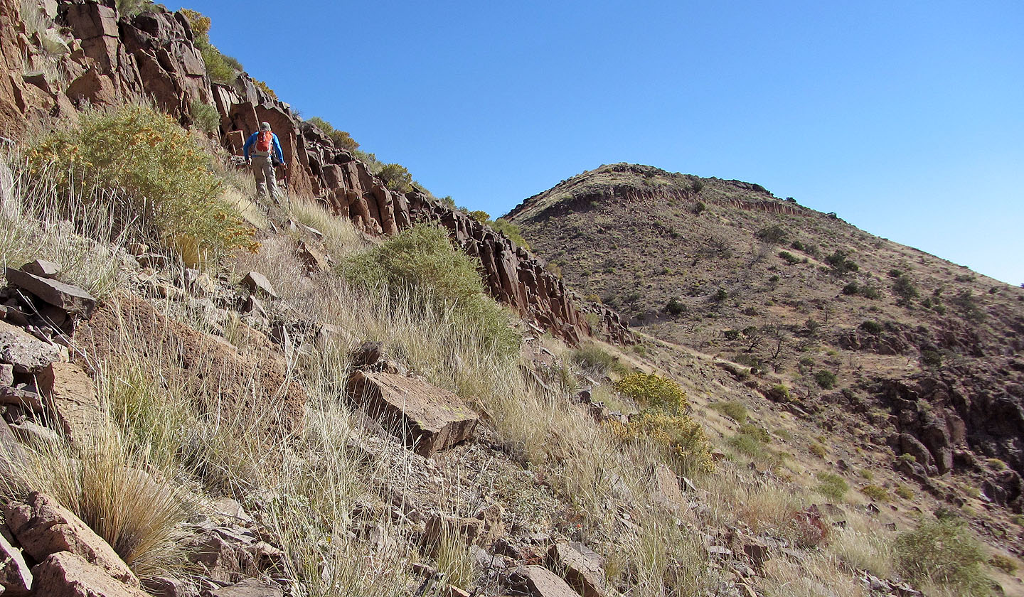
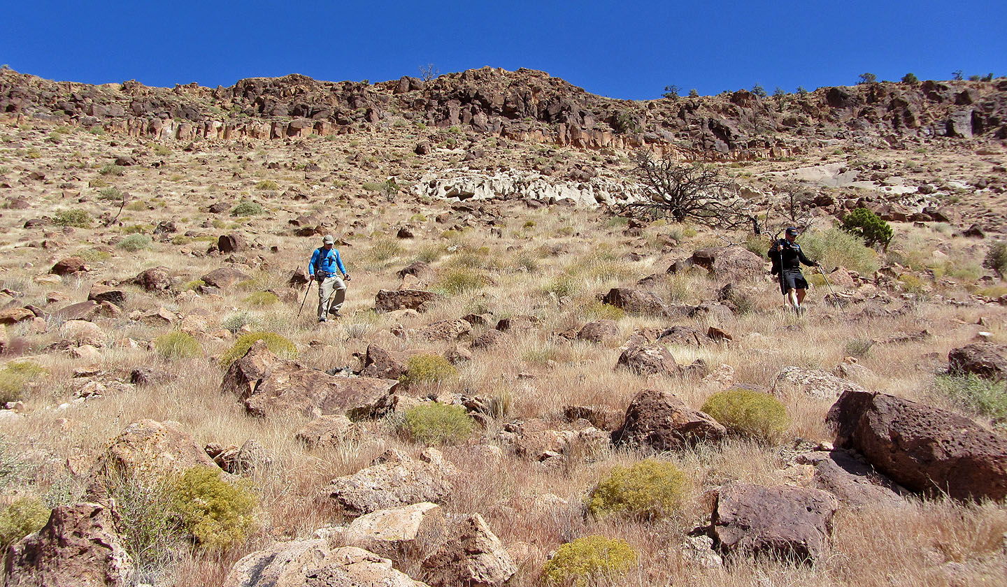
Making our way down the ridge
Apparently a fire had swept through the area
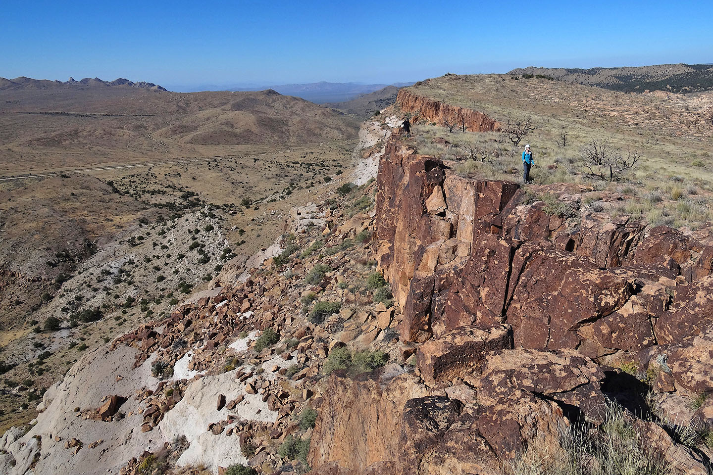
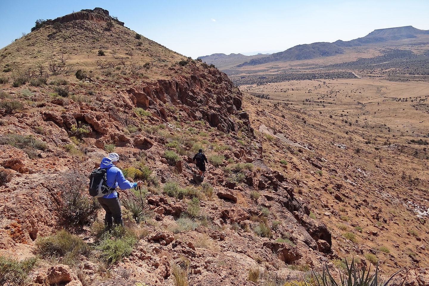
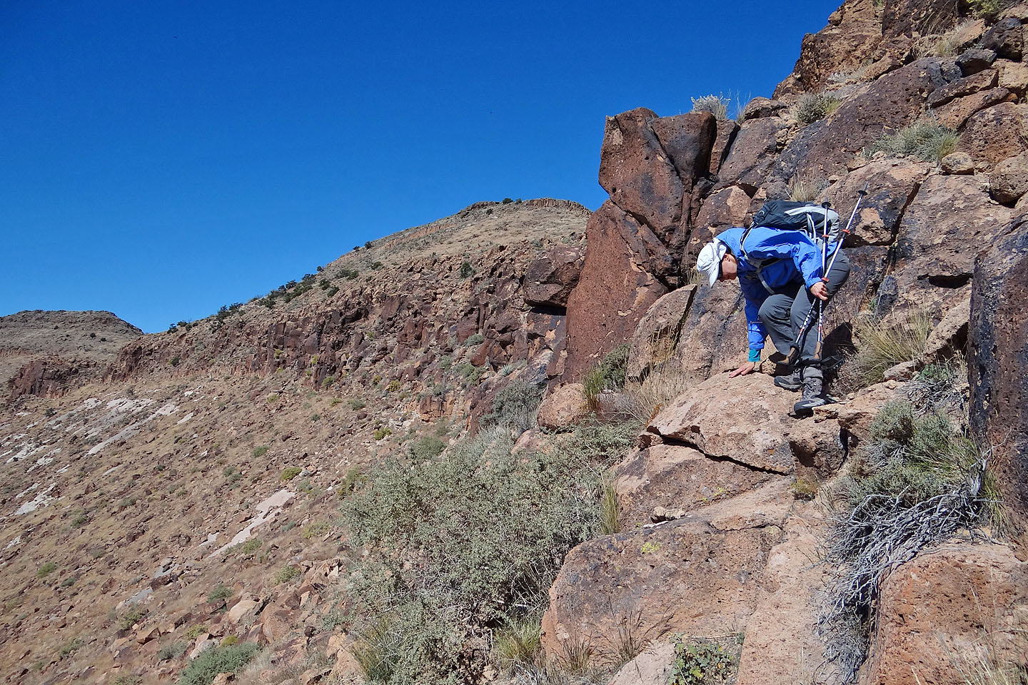
Following a cliff band
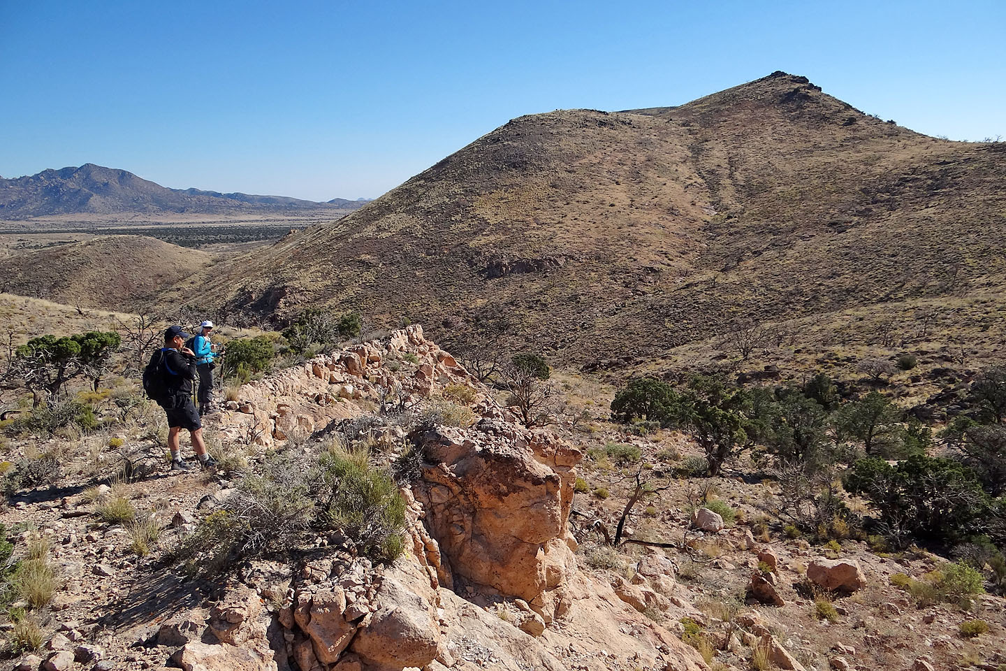
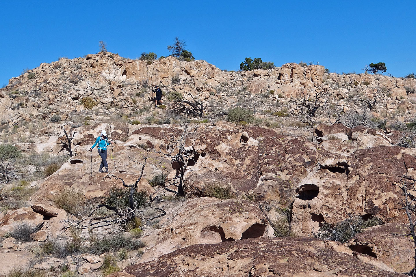
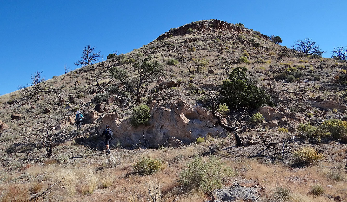
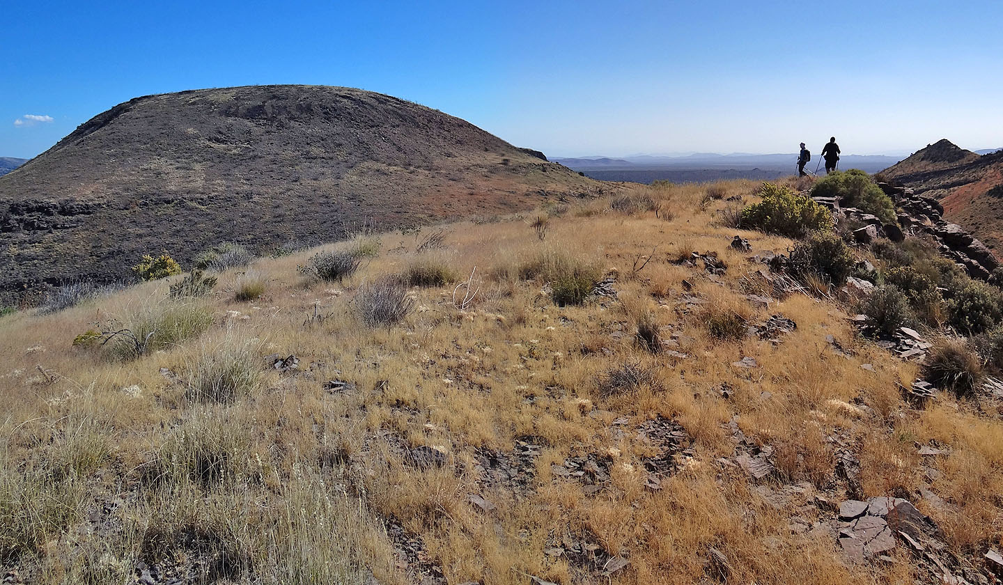
Skirting the first high point as we make our way to the second one
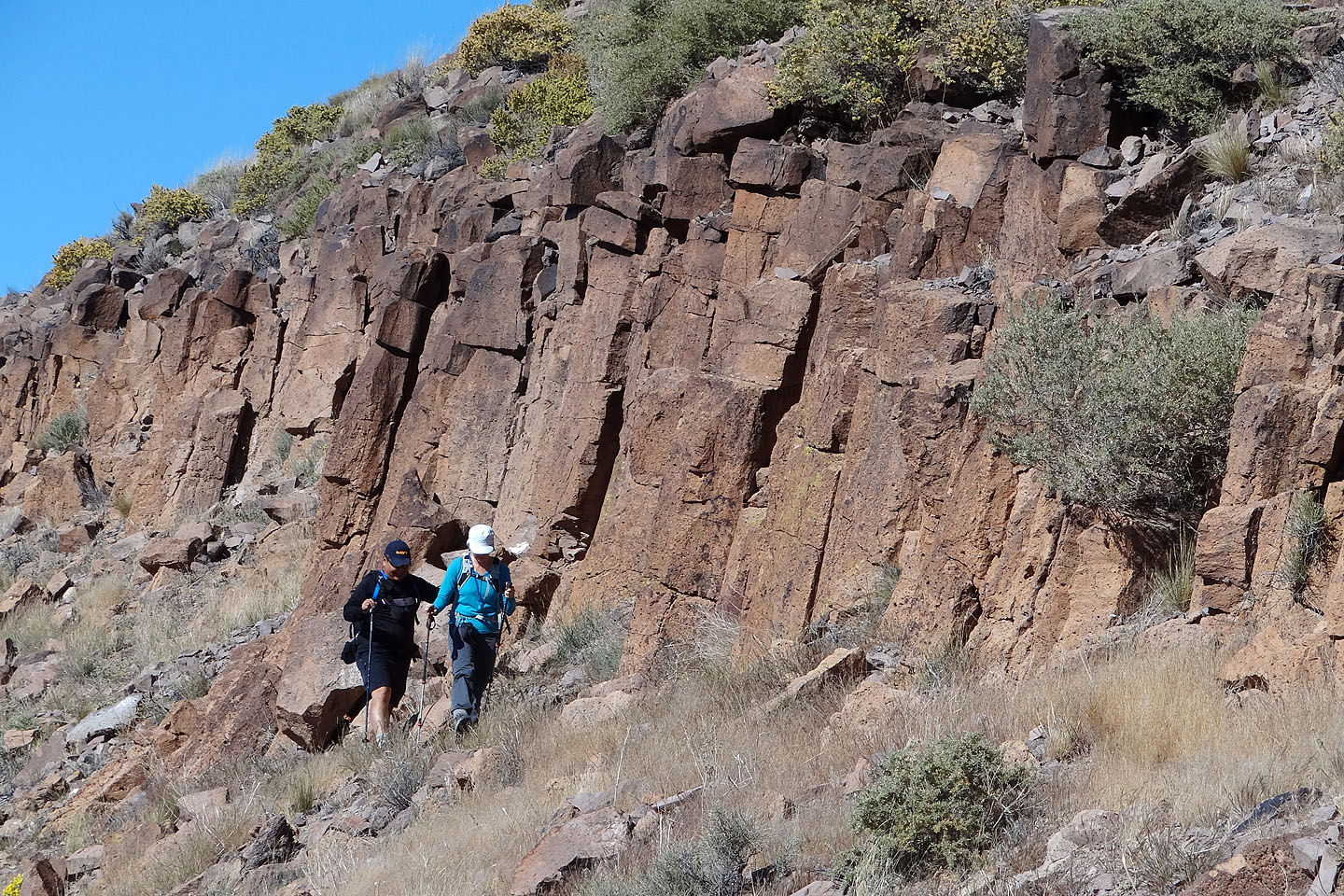
We followed the base of a cliff band
Looking back
Ascending the second high point
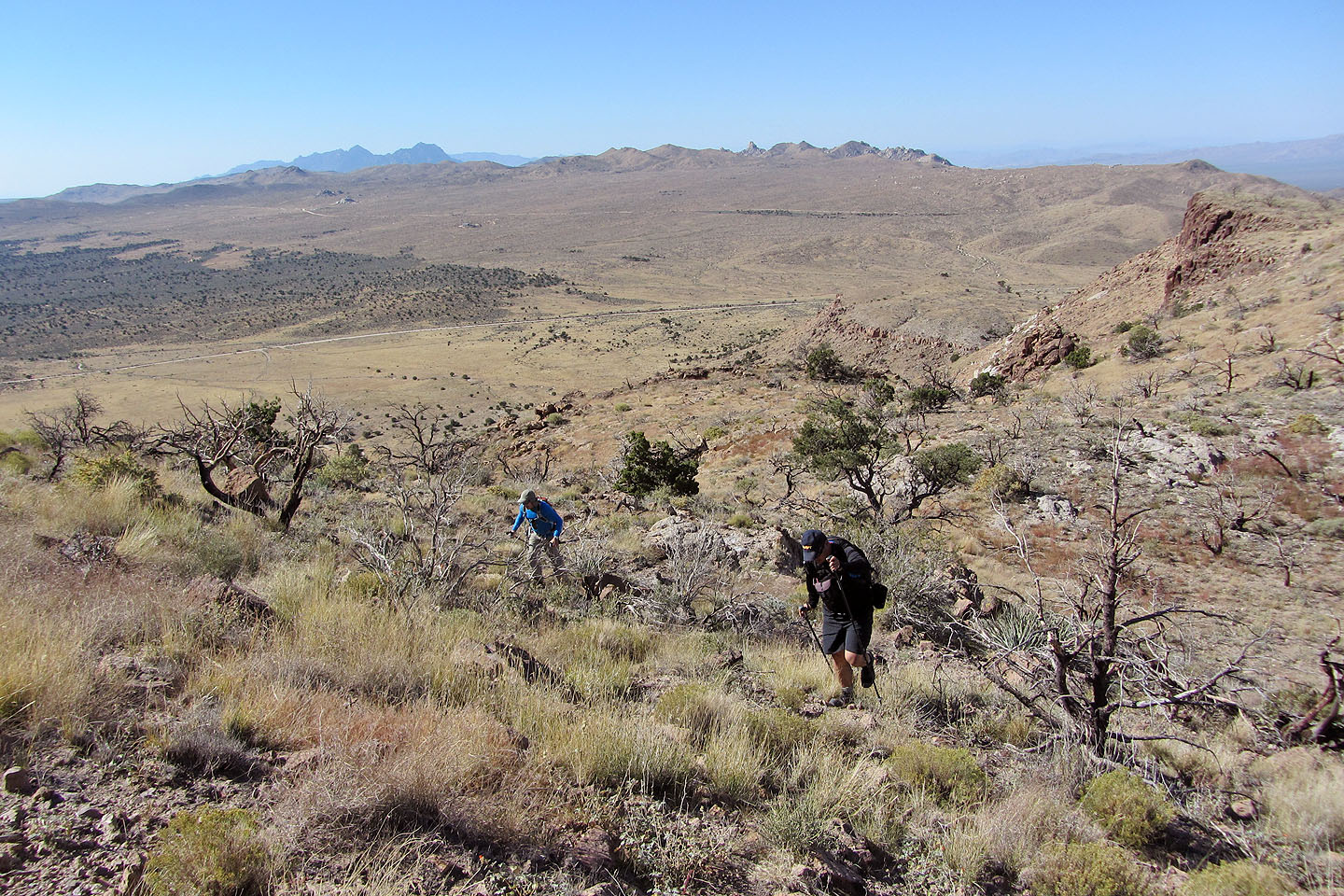
We can see the road
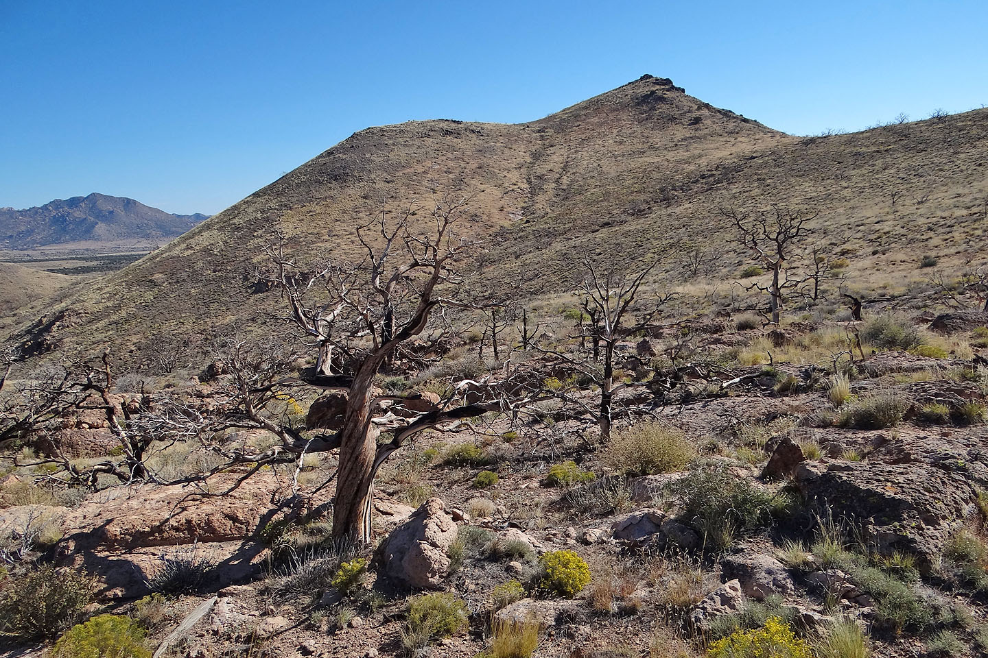
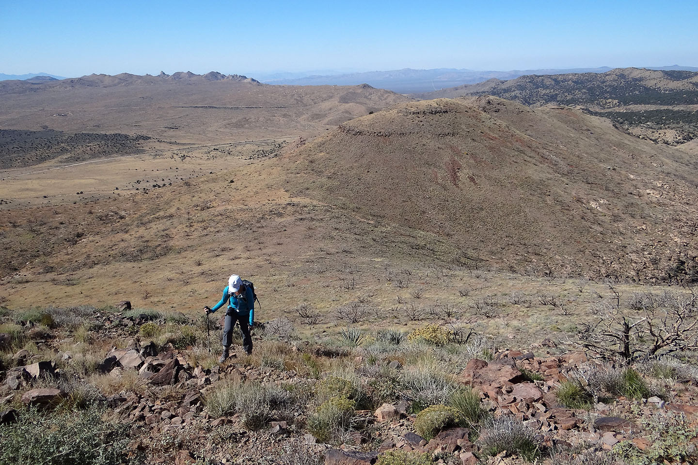
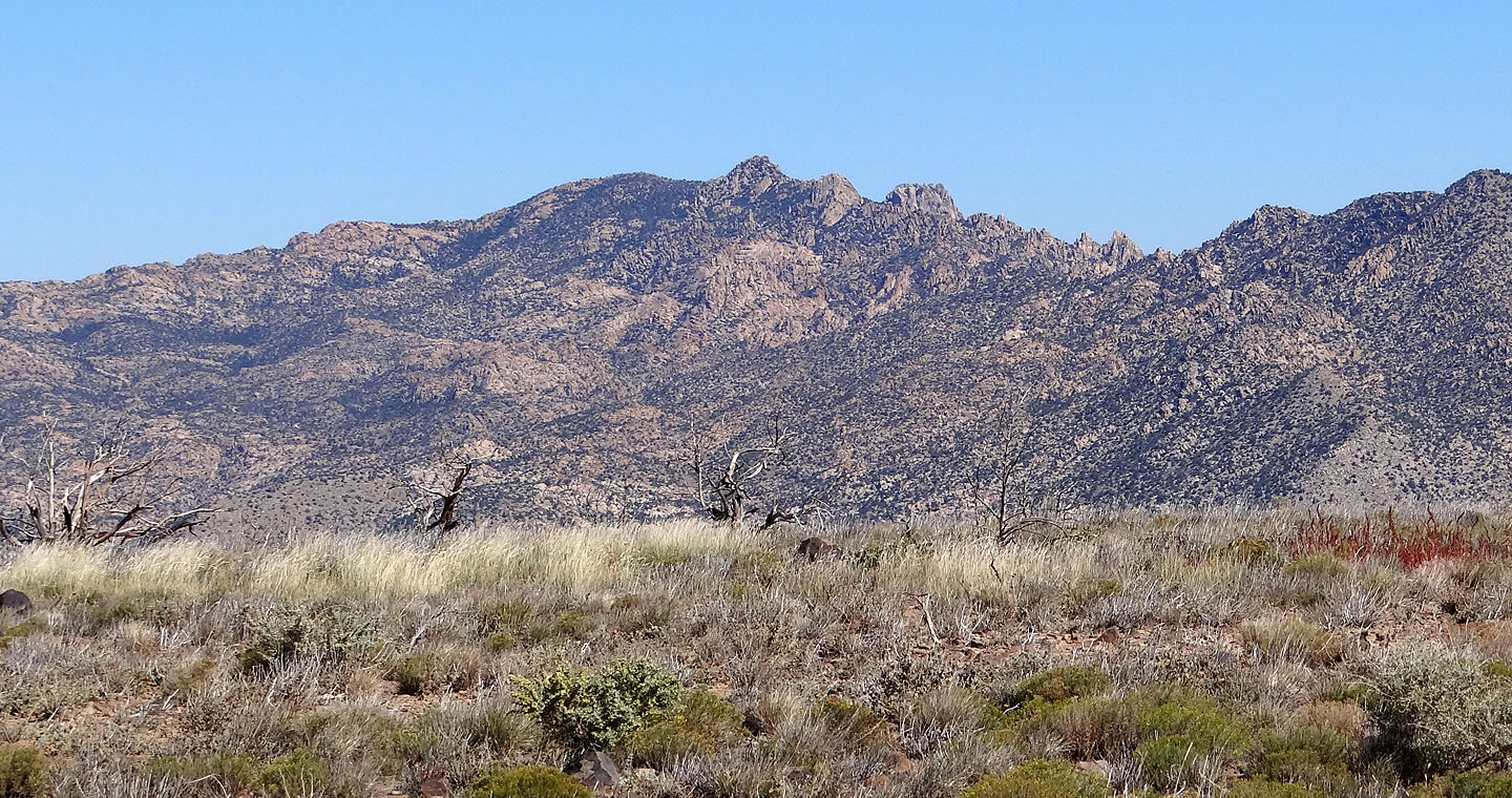
 Pinto Mountain came into view
We made our way to the base of the mountain
We hiked up the slope to the summit
Looking back
Searching for the summit on top
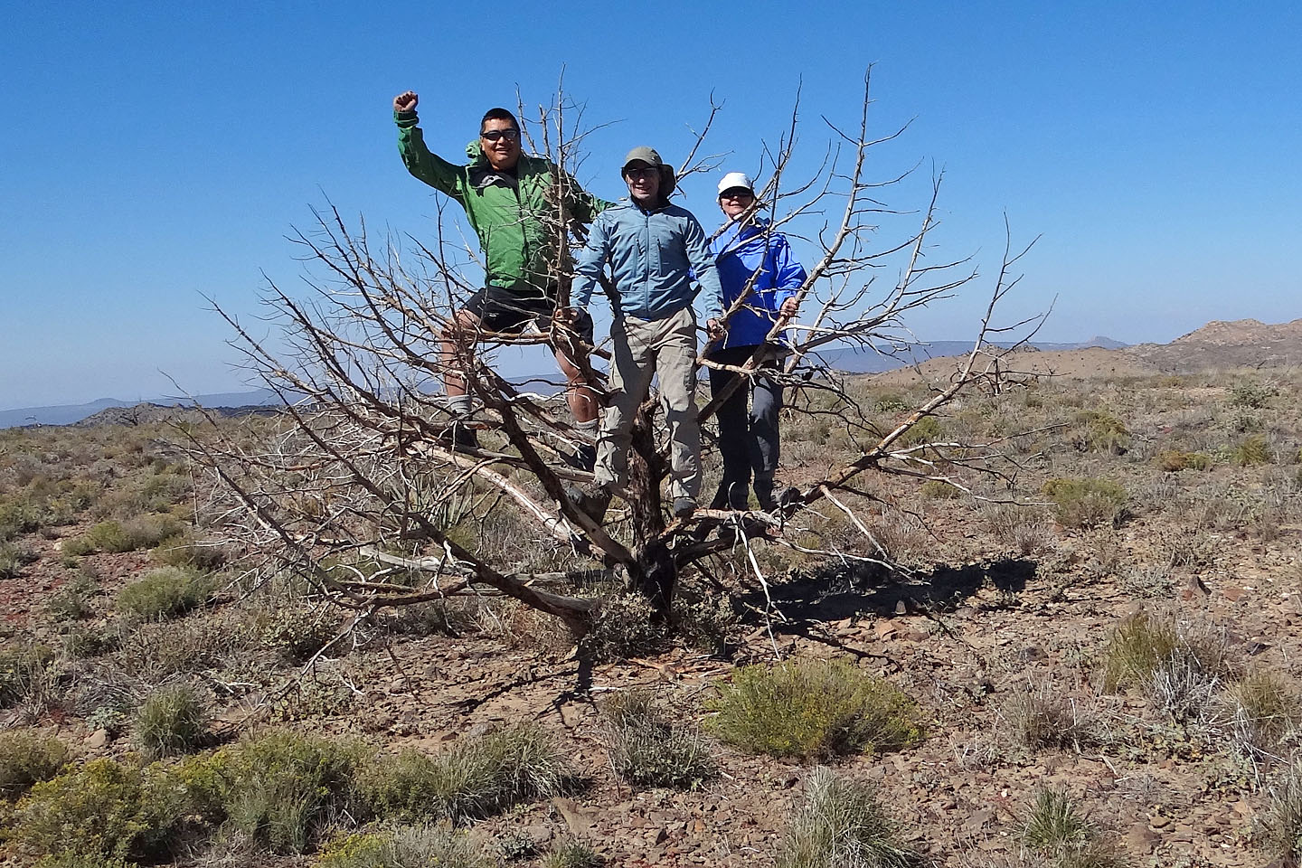
The highest point was a tree!
Descending a weakness in the cliff band. Table Mountain on the right.
Dinah makes her way down
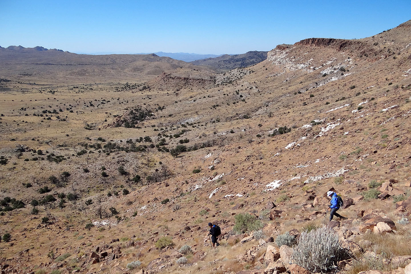
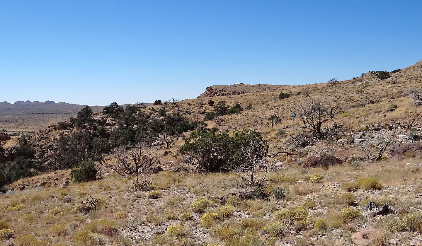
Heading to the flats
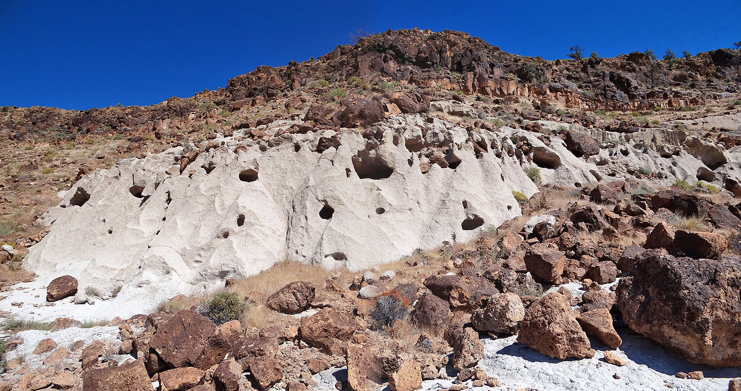
We were attracted to this peculiar white sandstone cliff band
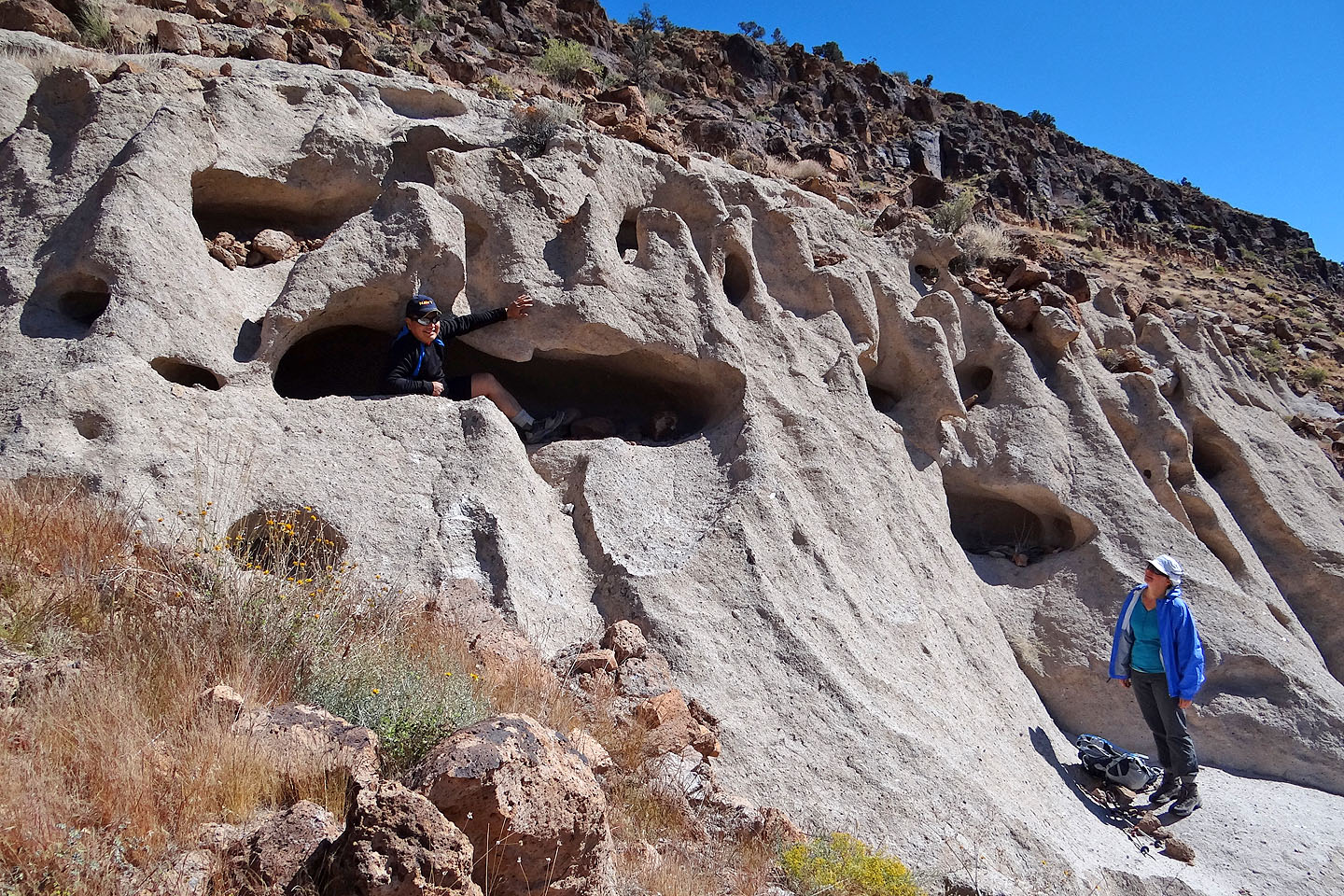
Sonny crawled into a small opening while Dinah looked on
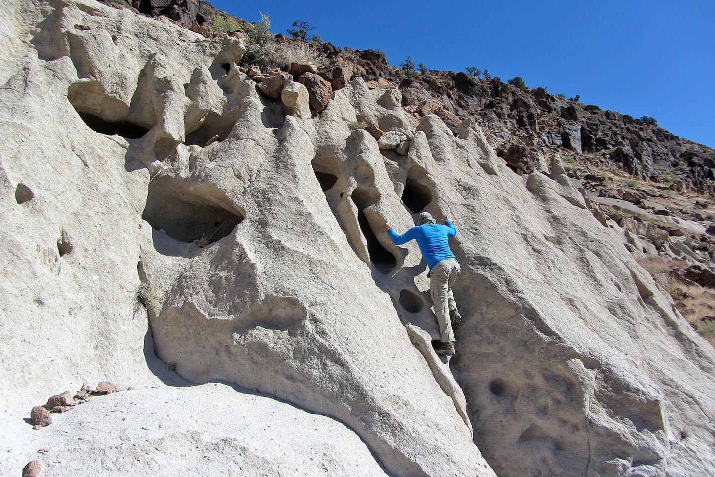
I tried out some natural foot and handholds
We continued down the slope
An errant boulder (centre) caught our eye, and we headed for it (mouse over to zoom in)
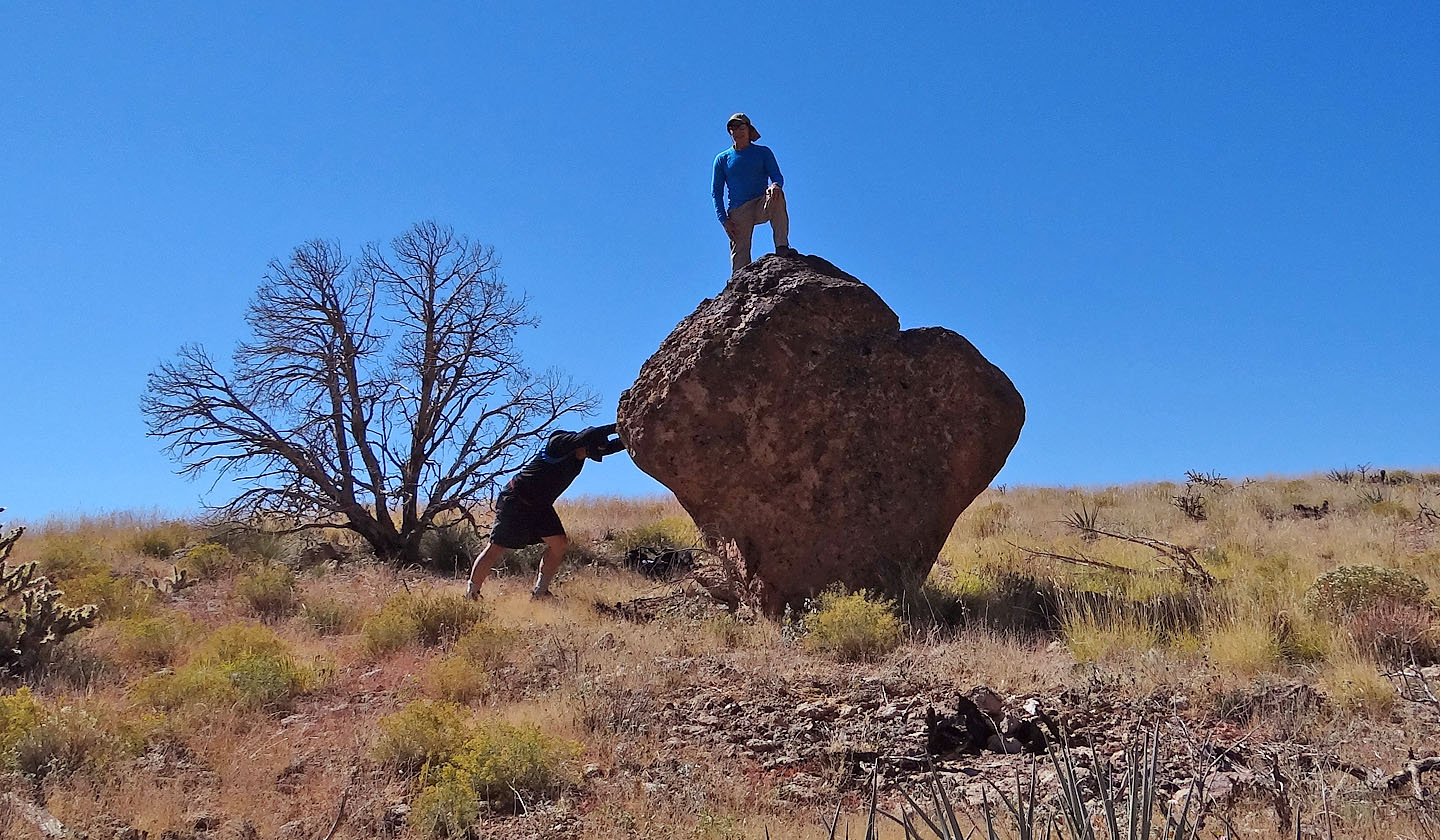
Sonny tries to topple the boulder with me on it
Looking back as we headed to our car
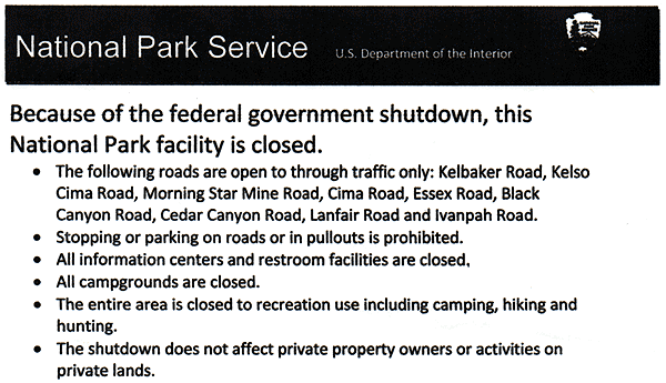
Notice found on our windshield
Mid Hills and Pinto Valley (4.7 mi, 6142 ft, 1056 ft)