bobspirko.ca | Home | Canada Trips | US Trips | Hiking | Snowshoeing | MAP | About
North Park Peak
Yucca Valley, California
February 10, 2025
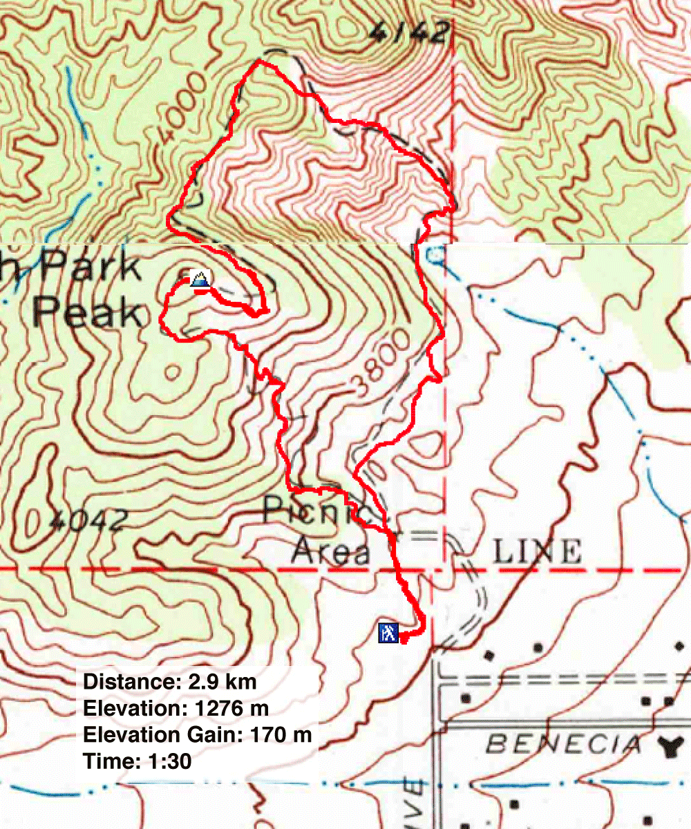
Distance: 2.9 km (1.8 mi)
Cumulative Elevation Gain: 175 m (574 ft)
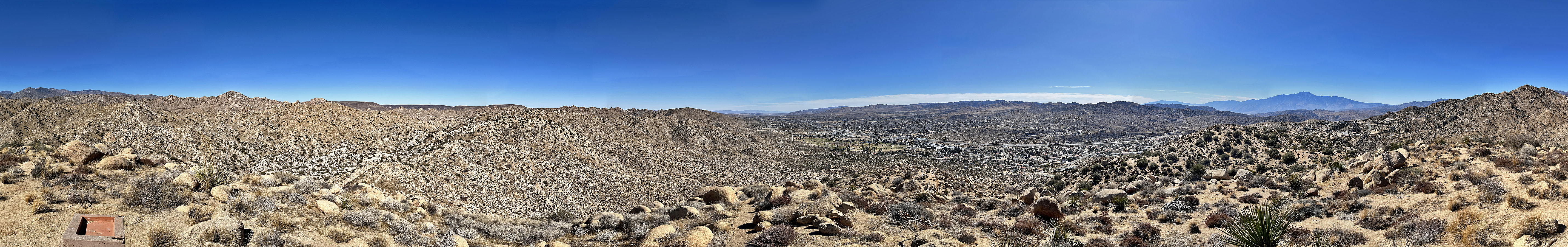
Like nearby Joshua Tree National Park, North Park Peak displays the same desert scenery but without an entrance fee. The loop hike can be covered in an hour or so, about twice the time it takes to drive north from Palm Springs to the trailhead. Strange to mention this, but it has the nicest washrooms I've seen at any trailhead.
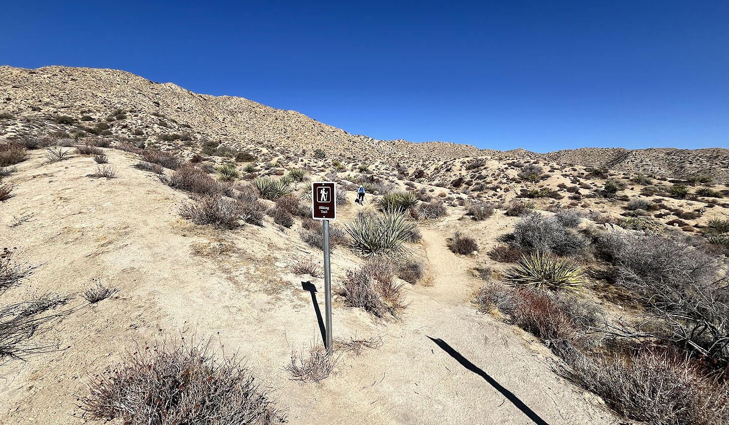
After going up the trail for 200 m, Dinah and I reached a fork, the beginning of the loop, and turned left. We followed the trail as it angled up a steep slope. In a couple of places, the trail was badly eroded and a misstep could lead to sliding down the slope. Dinah, who has a bad knee, was uncomfortable with continuing and turned around. She returned to the fork. She tried hiking the loop in reverse, but not knowing the route, she turned back when she hit a fork.
I continued up the trail and soon reached a saddle south of the summit. I was soon on the top of North Park Peak. For a small mountain and the minor effort to reach it, the views were fine. I spent several minutes on the top before texting Dinah to let her know I was coming down.
I continued on the loop, descending the east slope before the trail winds left to reach the north ridge. It follows the ridge briefly before dropping down the east side. It then bends south and returns to the fork. I joined Dinah in the parking lot. If time is short or a park pass is lacking, North Park Peak is a scenic alternative to hiking in Joshua Tree National Park.
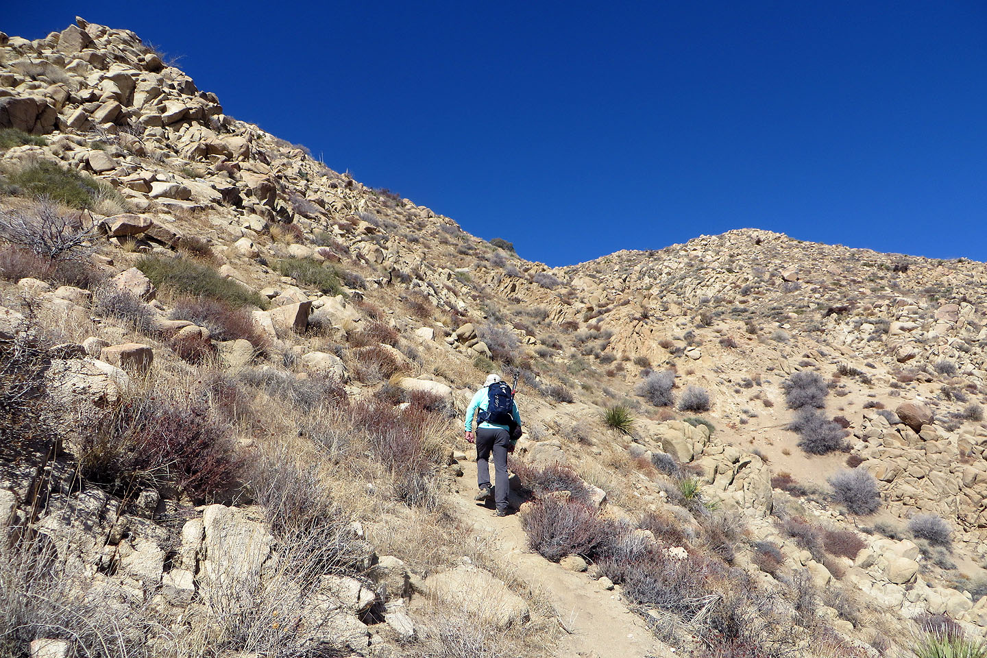
 Starting on the trail
 The trail soon forks and we went left
 Hedgehog cactus
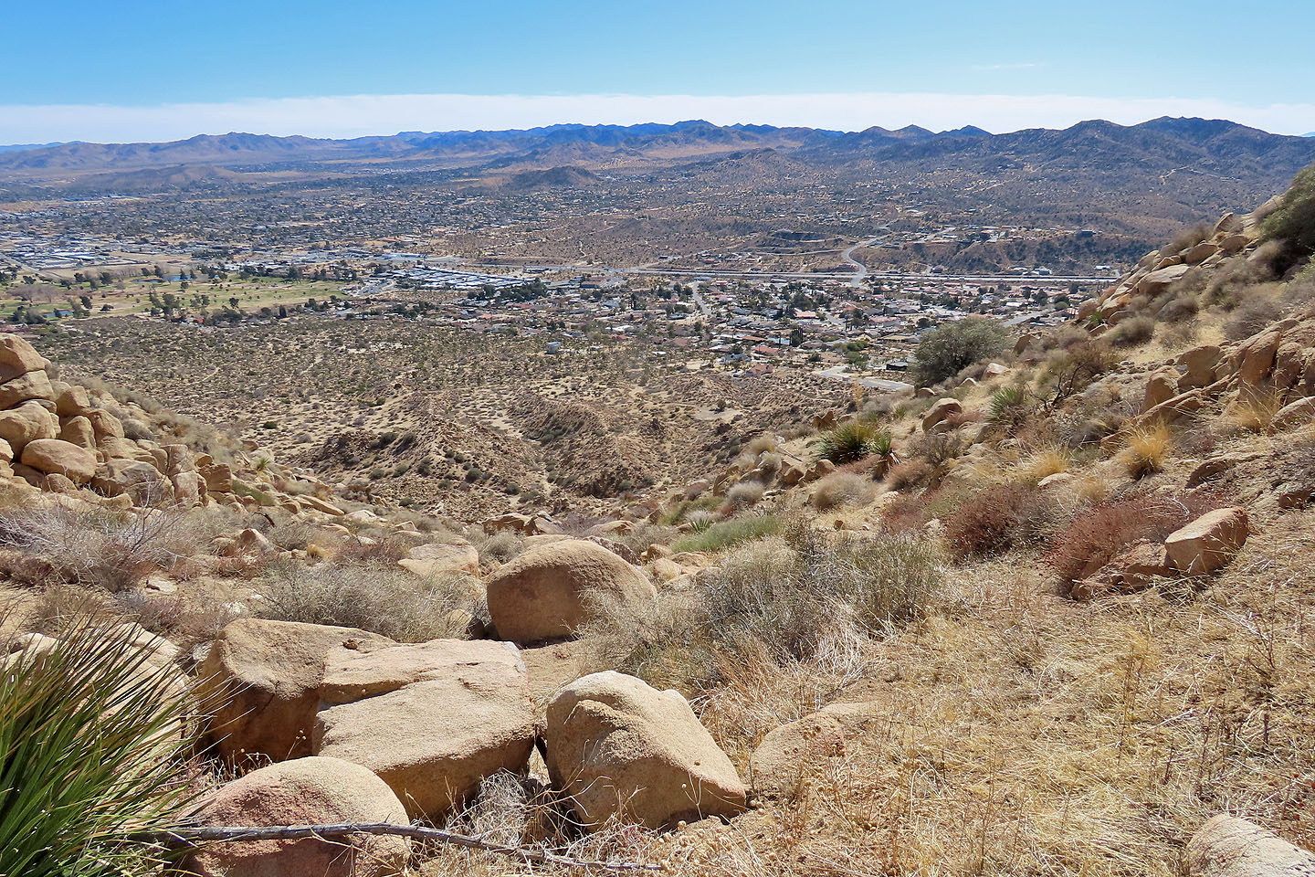
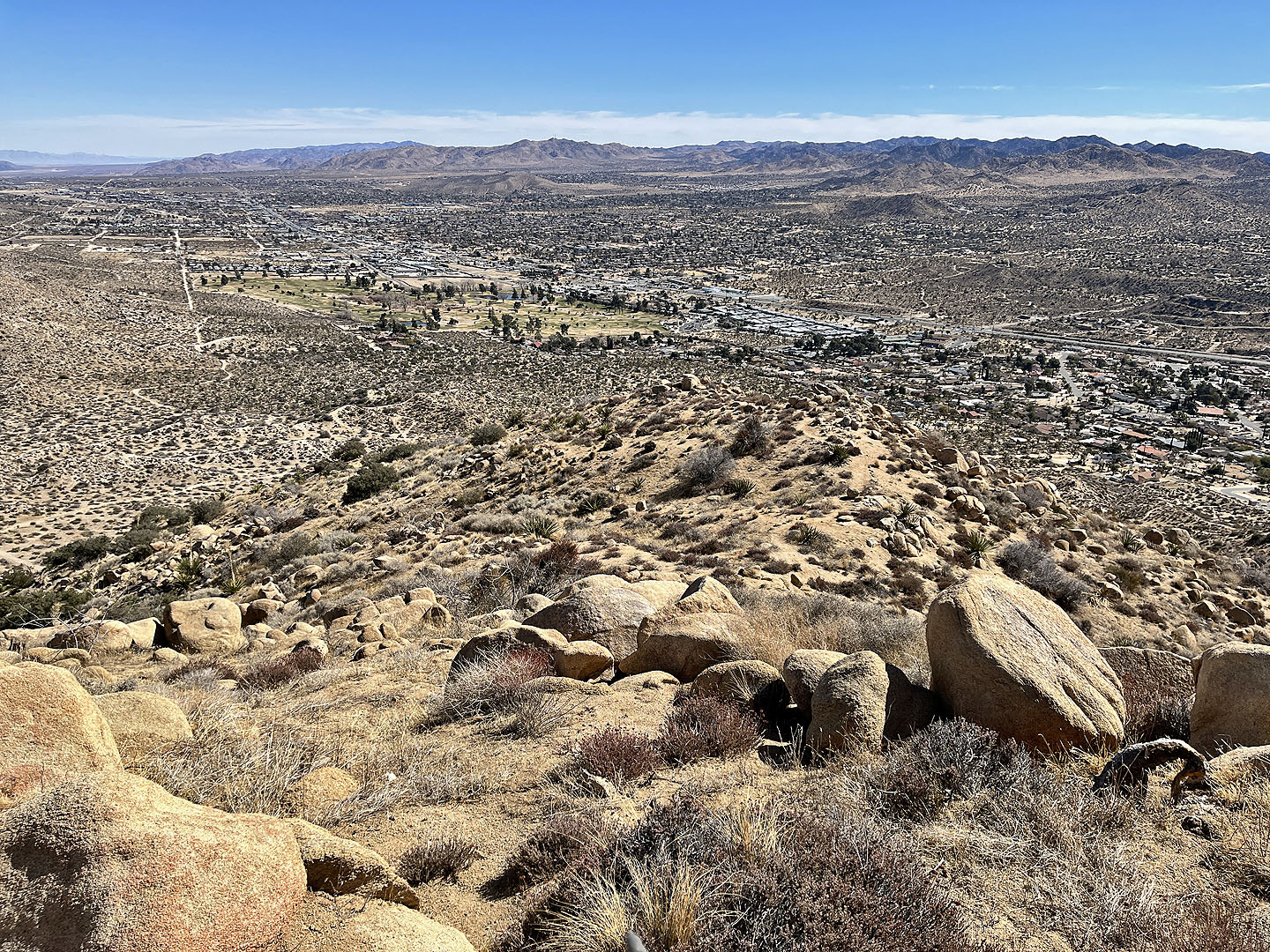
 Looking down at Yucca Valley Town
 The summit is far right
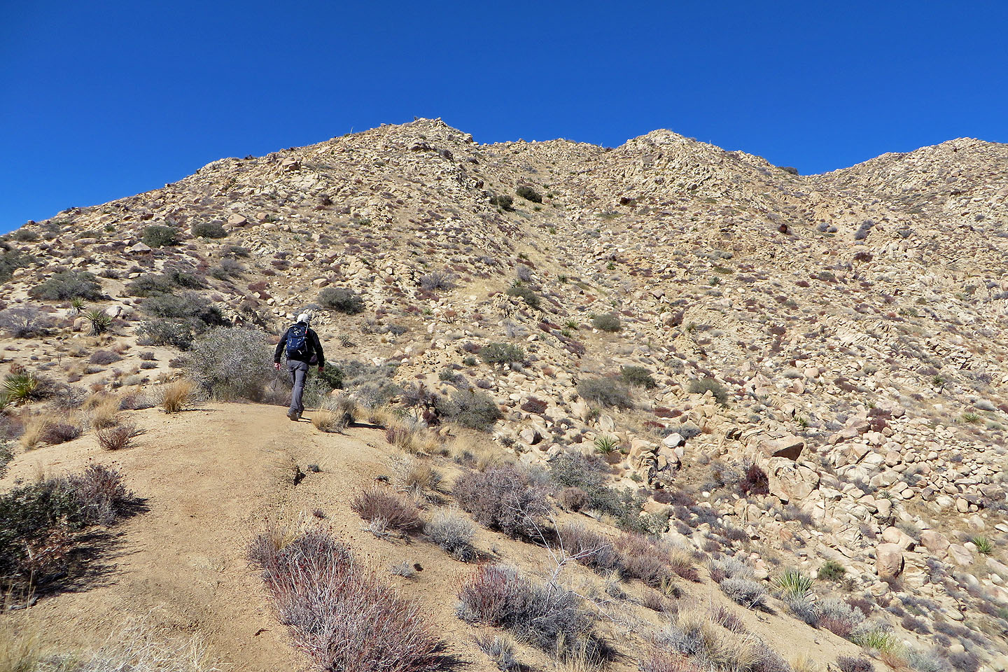
 The trail heads to the saddle before the summit
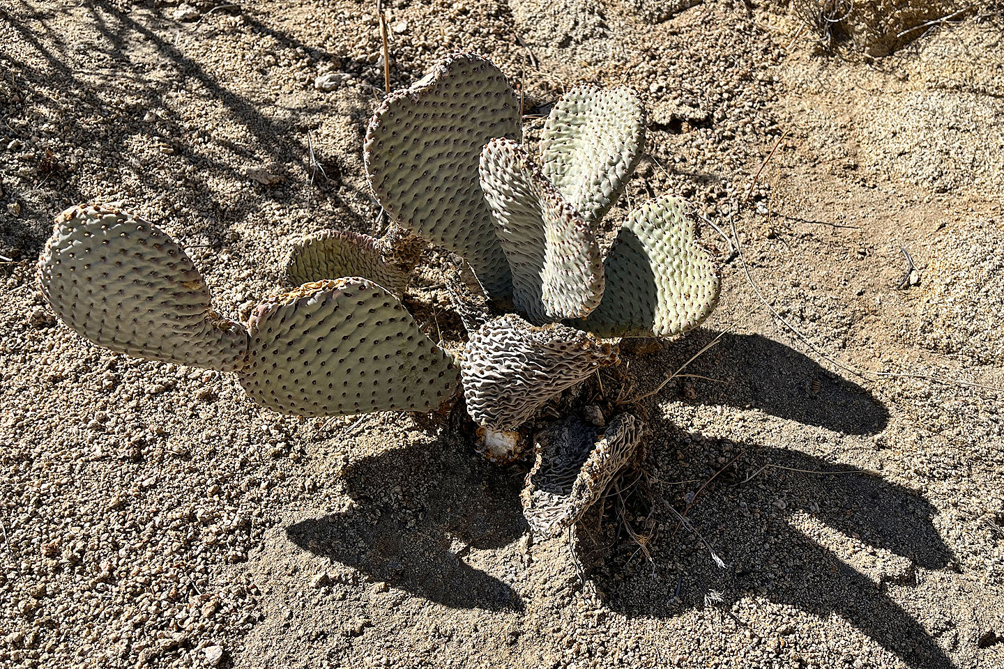 Beavertail cactus
I spotted Dinah on the trail below (centre, mouse over for a close-up)
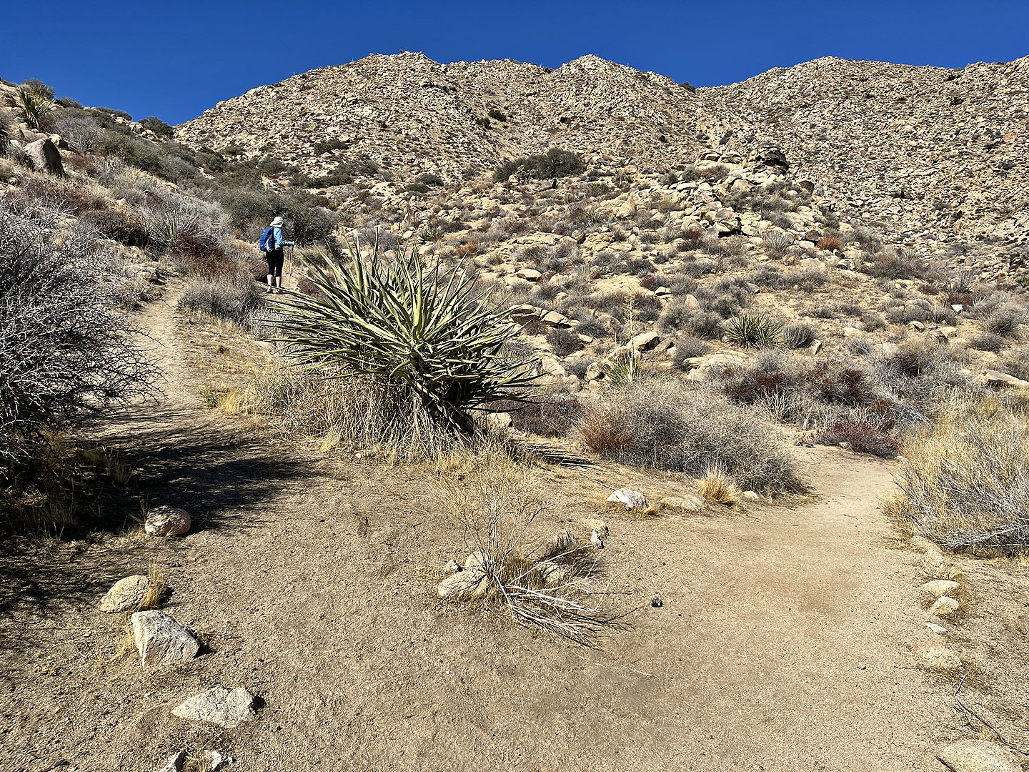
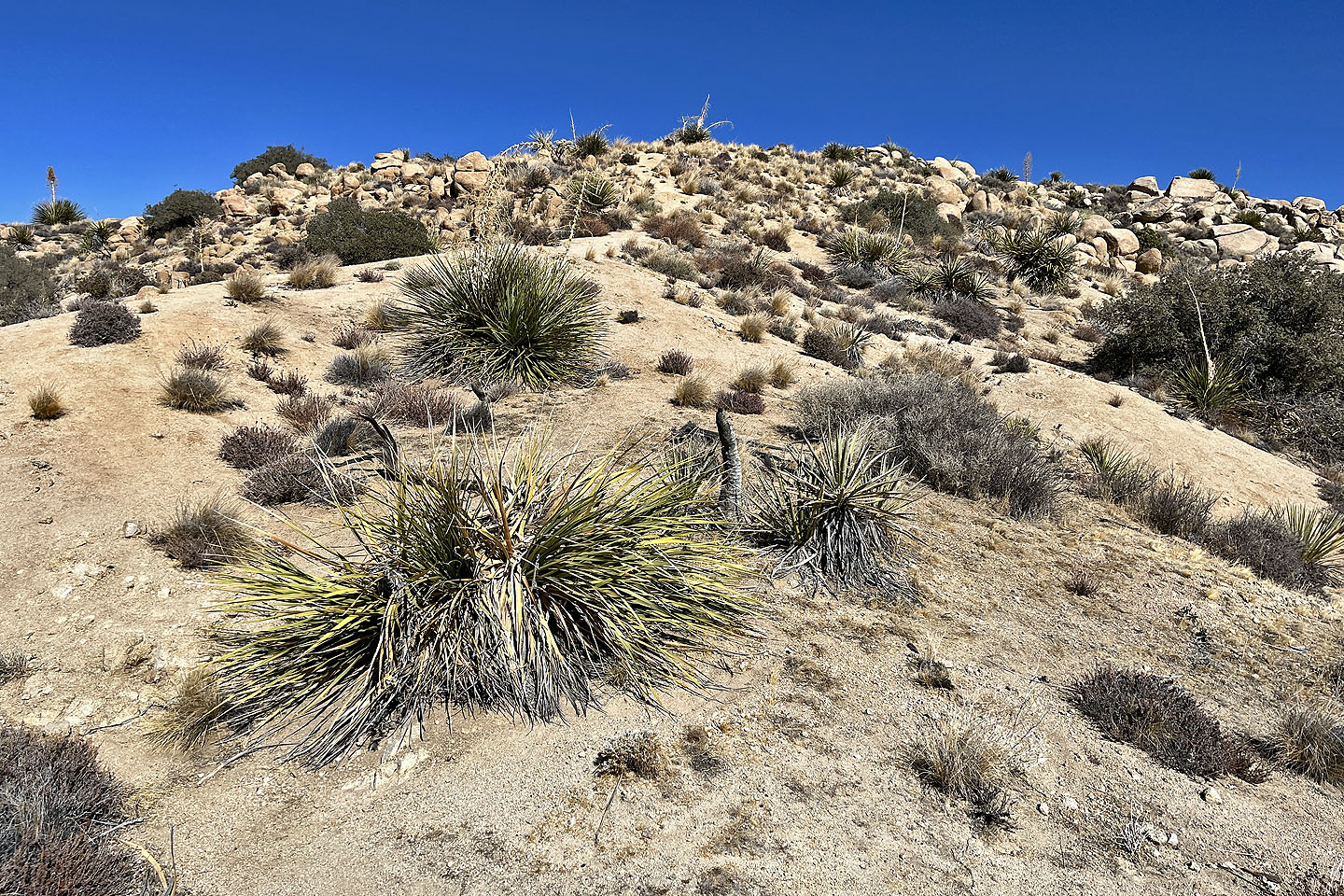
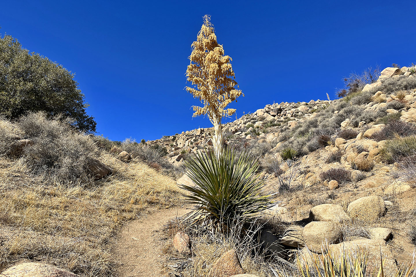 The trail turned left, passed a Parry's nolina, and climbed to the saddle
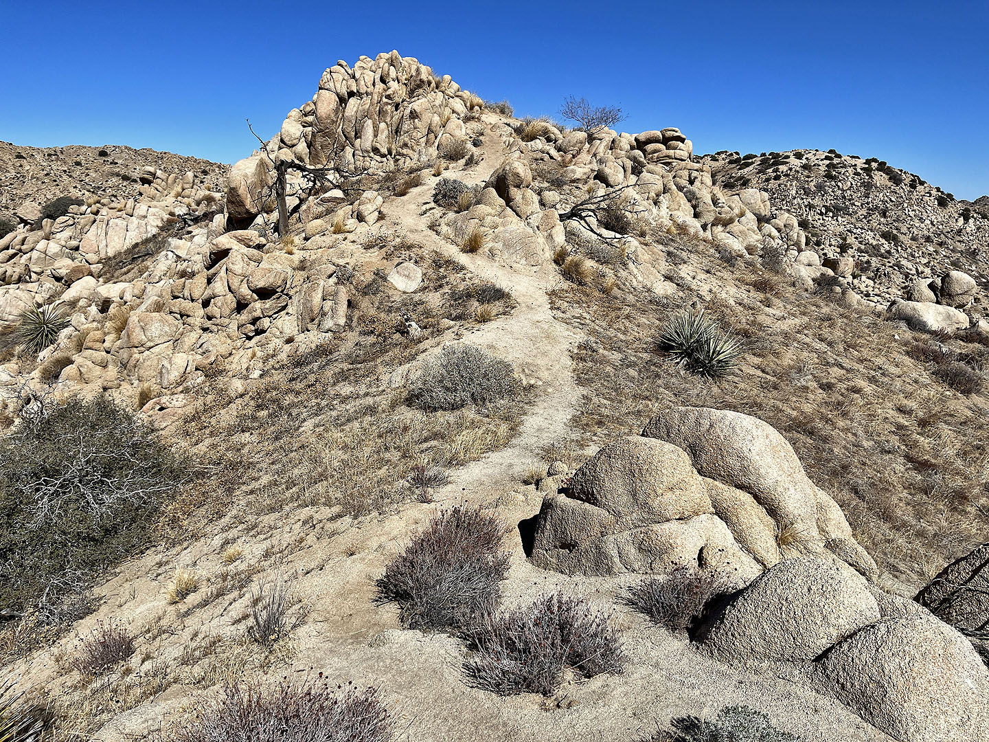
 Looking at the summit from the saddle
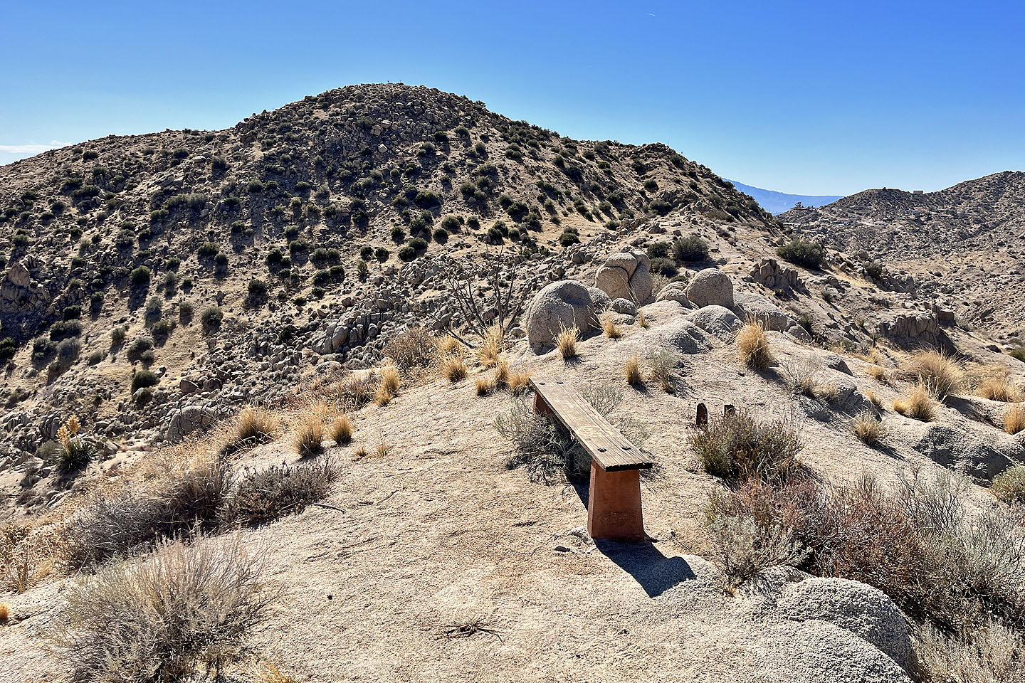
 There's a defunct summit register stand and a bench on the top
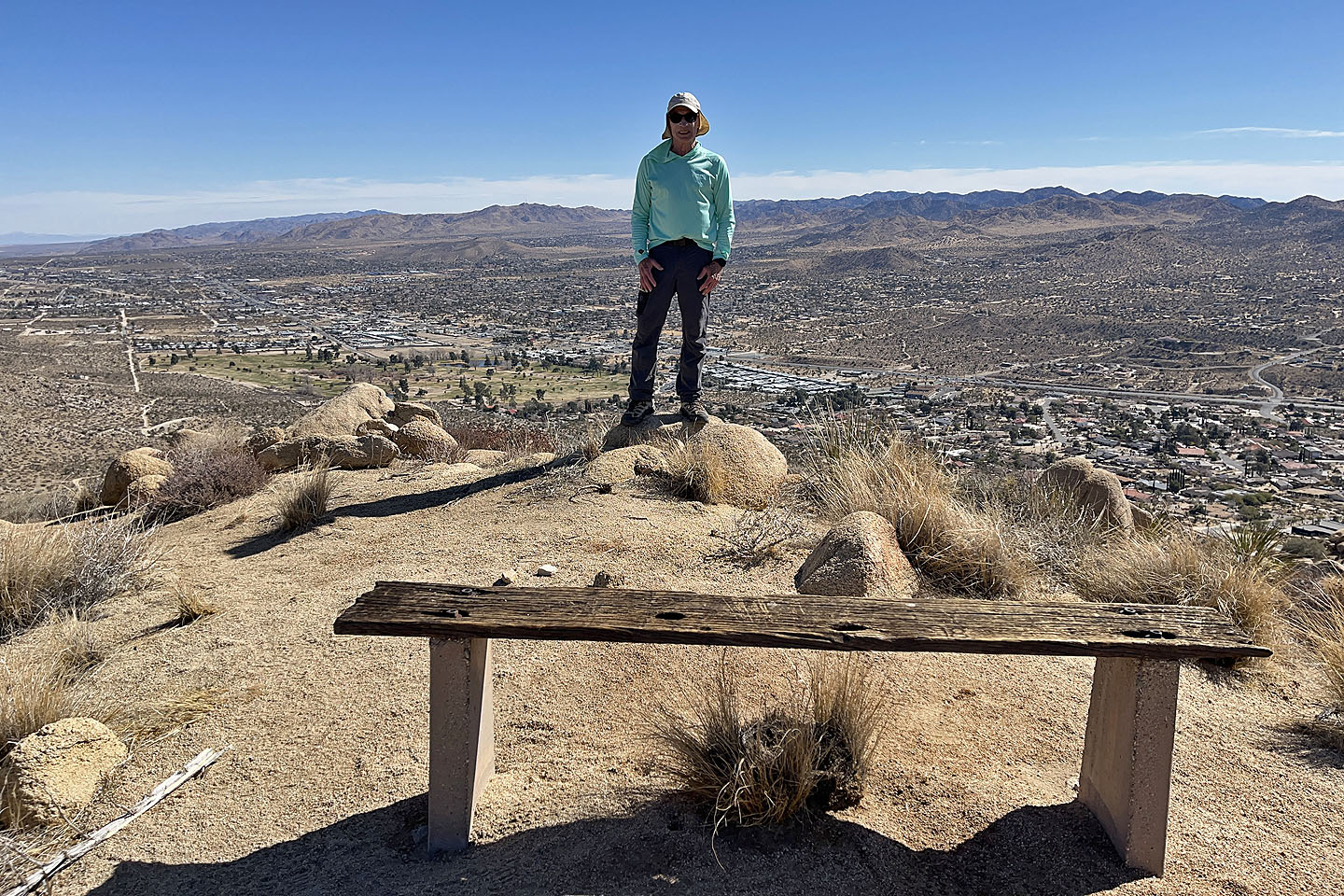 Standing on the top
 Dragonfly on the summit
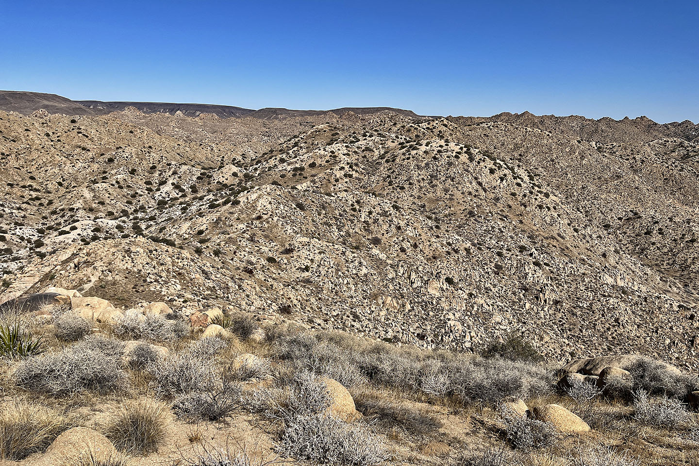 The trail briefly follows the north ridge
 The trail drops down the east slope before turning onto the the north ridge
 The trail starts along the north ridge
 The trail (centre) drops down on the right
 The trail soon turns after this bench
 The path begins dropping down
 After another turn, the trail heads back to the junction near the start
Yucca Valley North, Yucca Valley South (1.8 mi, 4186 ft, 558 ft)