bobspirko.ca | Home | Canada Trips | US Trips | Hiking | Snowshoeing | MAP | About
Mastodon Peak and Lost Palms Oasis
Joshua Tree National Park, California
April 16, 2018
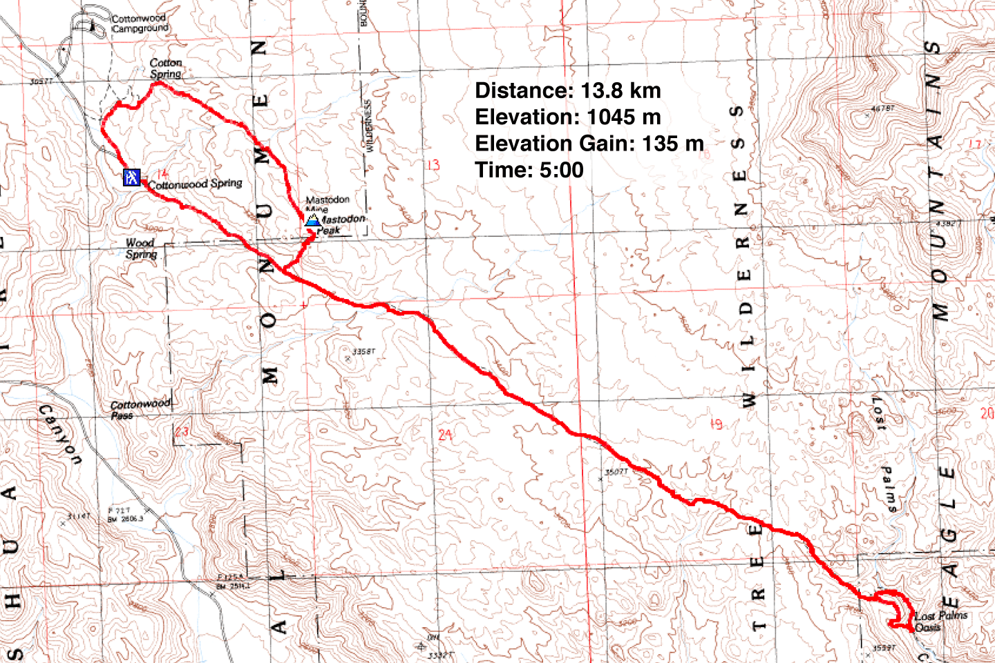
Distance: 13.8 km (8.6 mi)
Cumulative Elevation Gain: 385 m (1263 ft)
Listed as the 64th highest peak in Joshua Tree Park, it hardly seems possible that Mastodon Peak should have a name or draw hikers. But one attraction are the monzogranite boulders topping it. Unlike other rock piles around, it is not a technical climb and is accessed on a good hiking trail. And by following the trail past Mastodon, you can reach the highest concentration of native California Fan Palms in Joshua Tree National Park. While palm trees abound in California, seeing them growing wild in a natural setting is an amazing sight.
Shin, Dinah and I parked at the trailhead and opted to hike first to Lost Palms Oasis. The trail gently rises as high as Mastodon Peak before dropping down. The final trail section involves a series of ups and downs before arriving at the brink of a canyon containing the palm trees. Here the trail splits. The left fork drops directly into the canyon while the more rugged right fork follows a ridge briefly before ending in the canyon farther along. We opted to do a short loop, taking the right fork and then walking up the canyon to the left fork. Surrounded by wild palm trees, it was an idyllic spot for lunch.
After lunch, we headed back. We reached the side trail to Mastodon Peak that we had passed earlier and climbed up the little mountain. A short hike and a bit of easy scrambling brought us to the top. We took a few photos and then headed down.
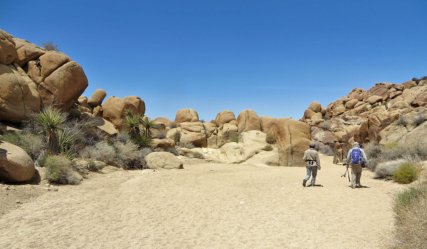
Since Mastodon Peak can be hiked as a loop, that's what we did. The trail passes Mastodon Mine and then drops down to a wash. After going down the wash a short distance, the trail hops a low ridge to end up in another wash: left for the trailhead and right for nearby Cottonwood Springs Campground.
While Mastodon Peak is interesting, the hike becomes outstanding when hitched to Lost Palms Oasis. It lengthens the trip considerably but is well worth it.
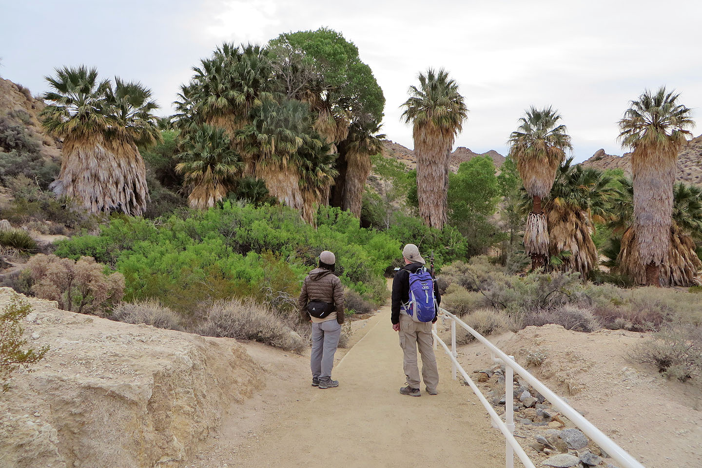
The hike starts by going through a grove of palm trees
The palms at the trailhead are a preview of what we could expect later in our trip
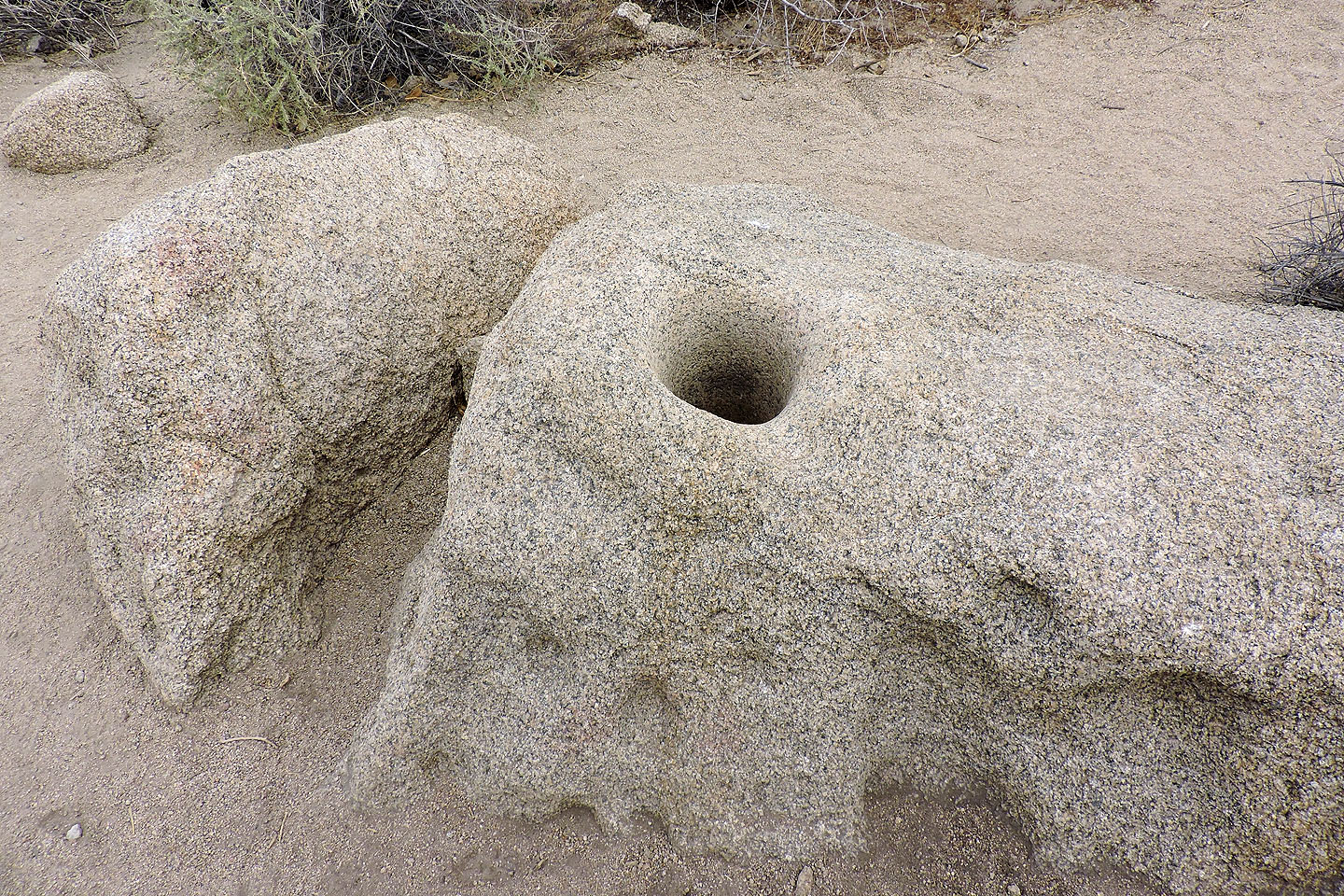
Chuilla Indians used deep mortar holes to make flour (mouse over for more info)
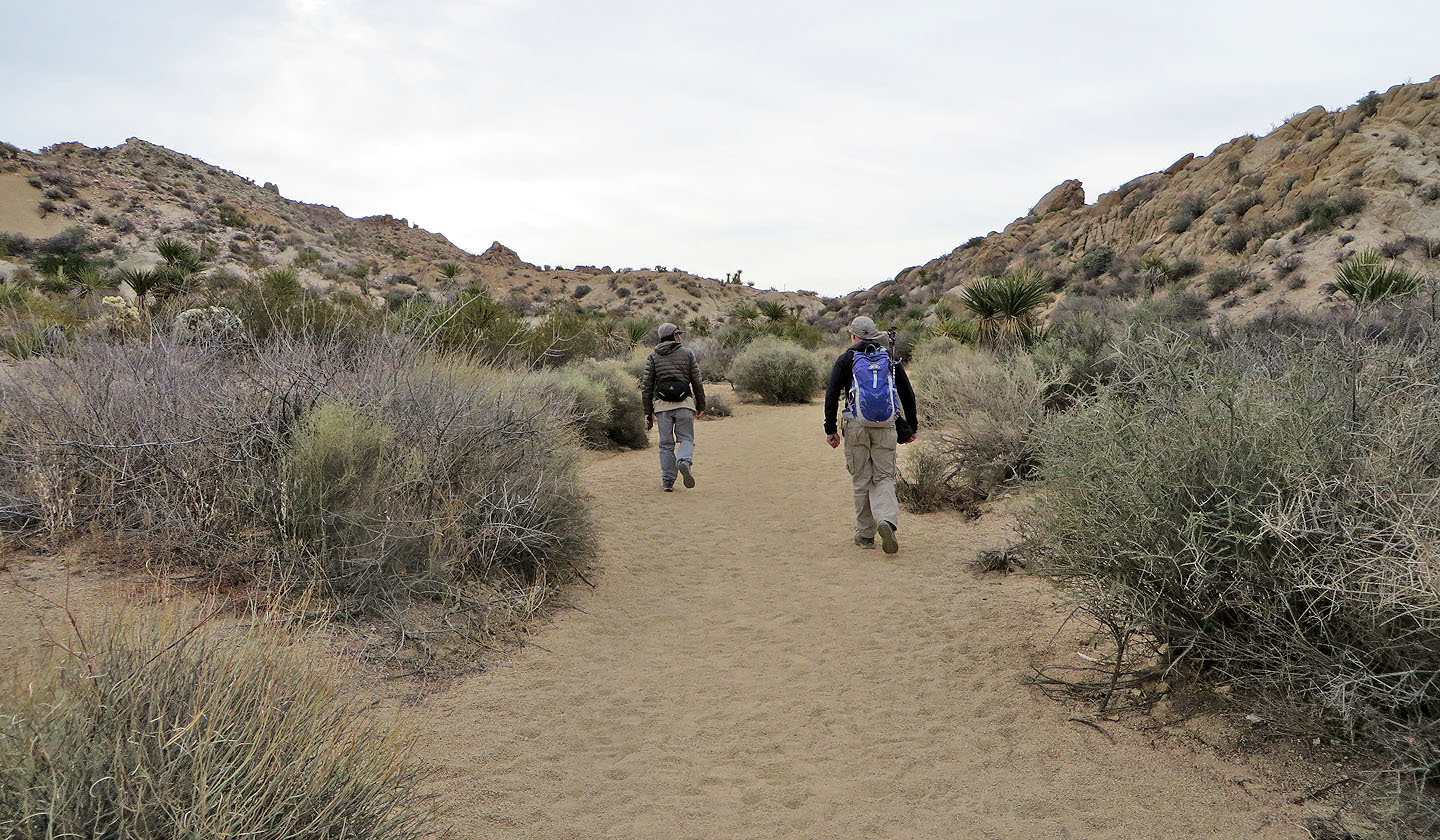
The trail begins in a wash but soon climbs to the desert flats
Following the trail through the flats
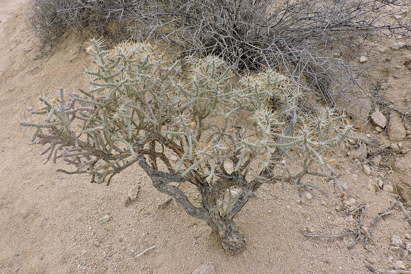
Pencil cholla
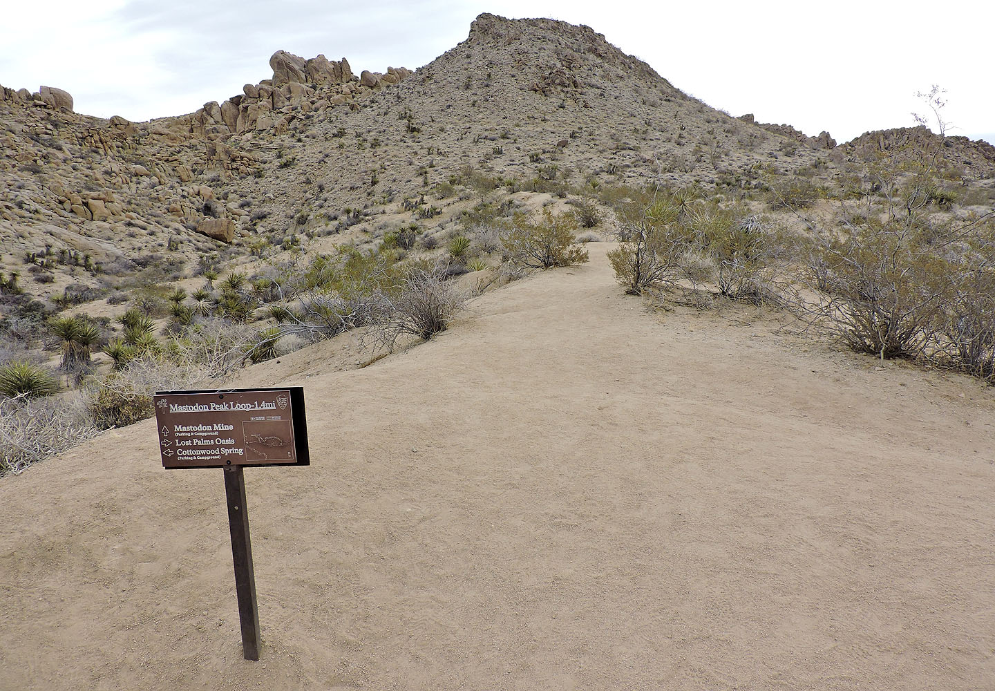
The turnoff for Mastodon Peak
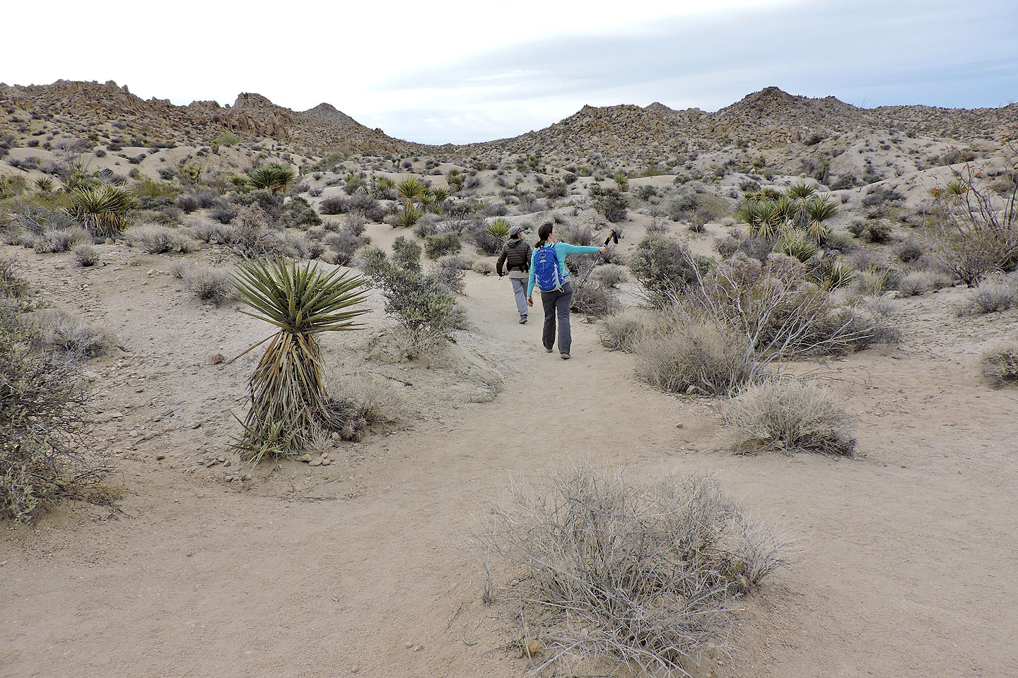
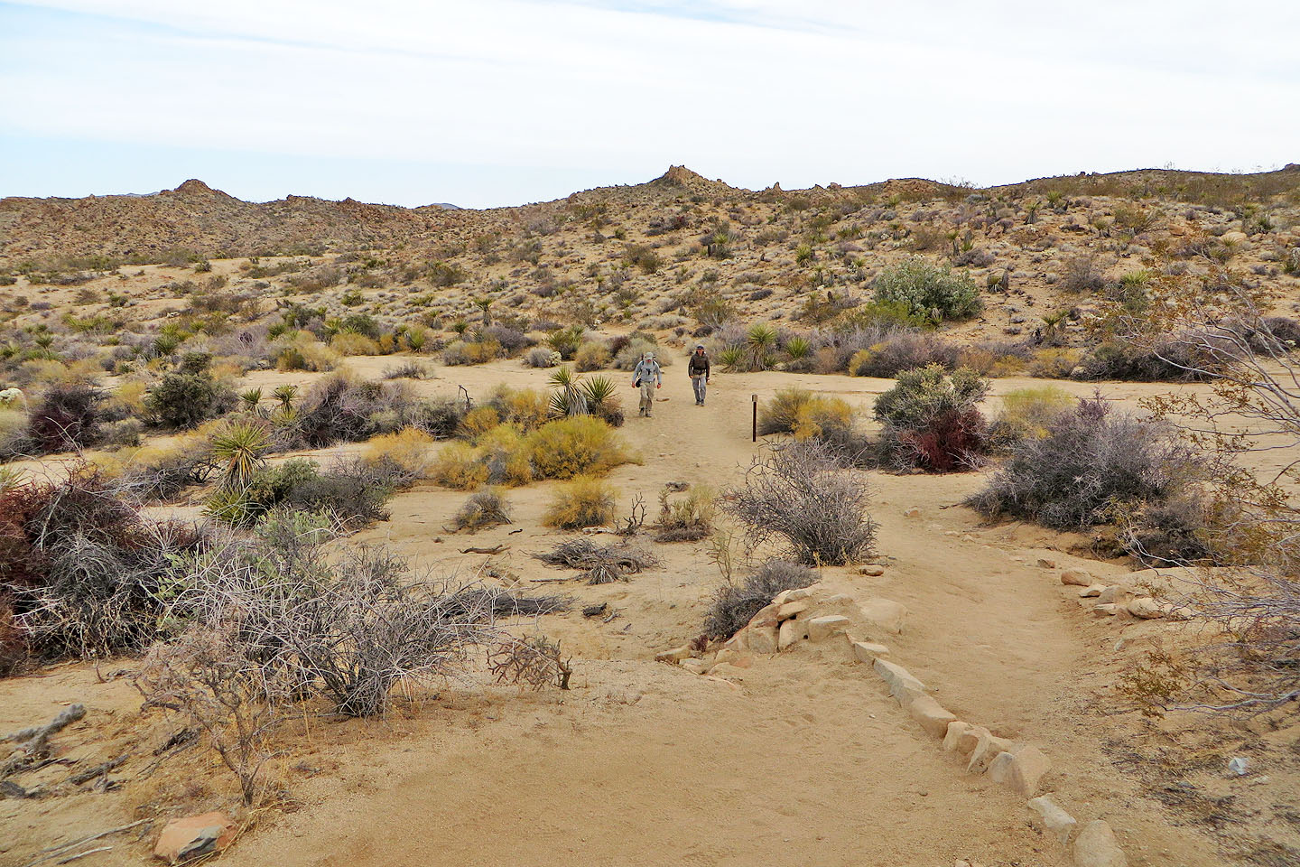
Continuing down the trail
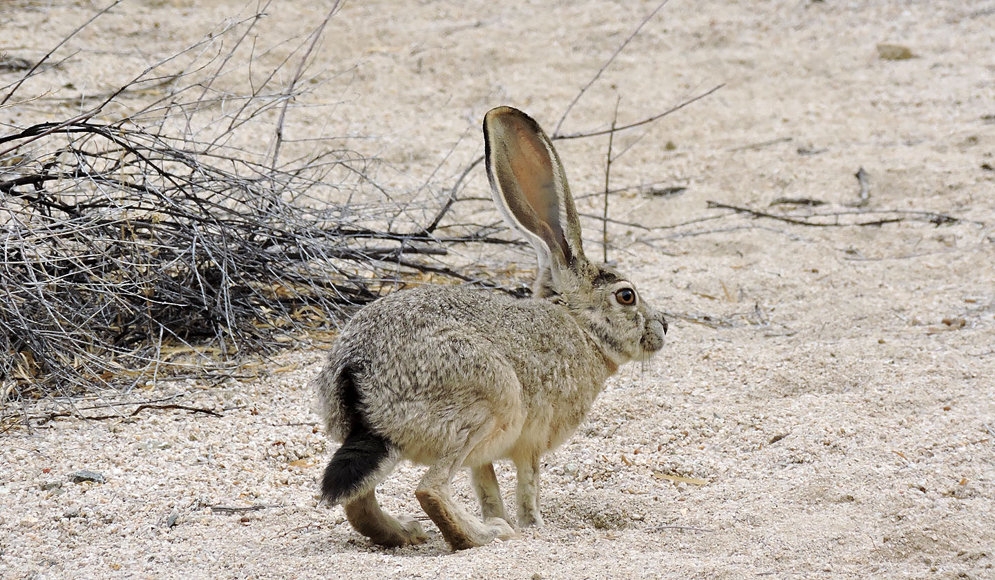
Black-tailed jackrabbit
The trail crosses a wash
We passed many towering ocotillos, but this was the tallest
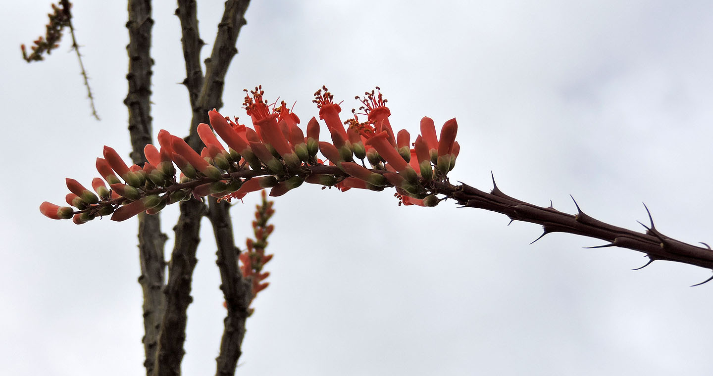
Flowers on an ocotillo
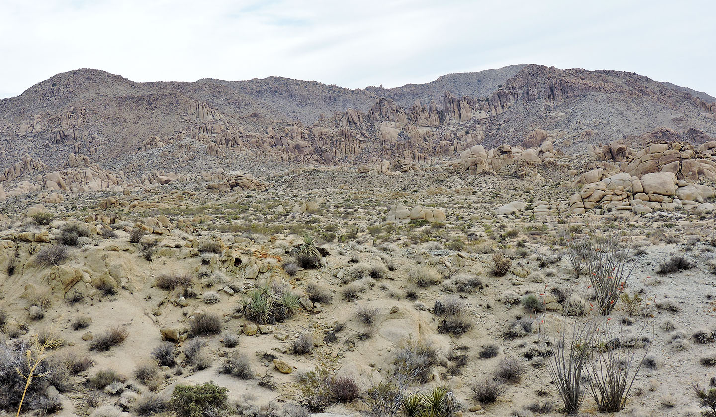
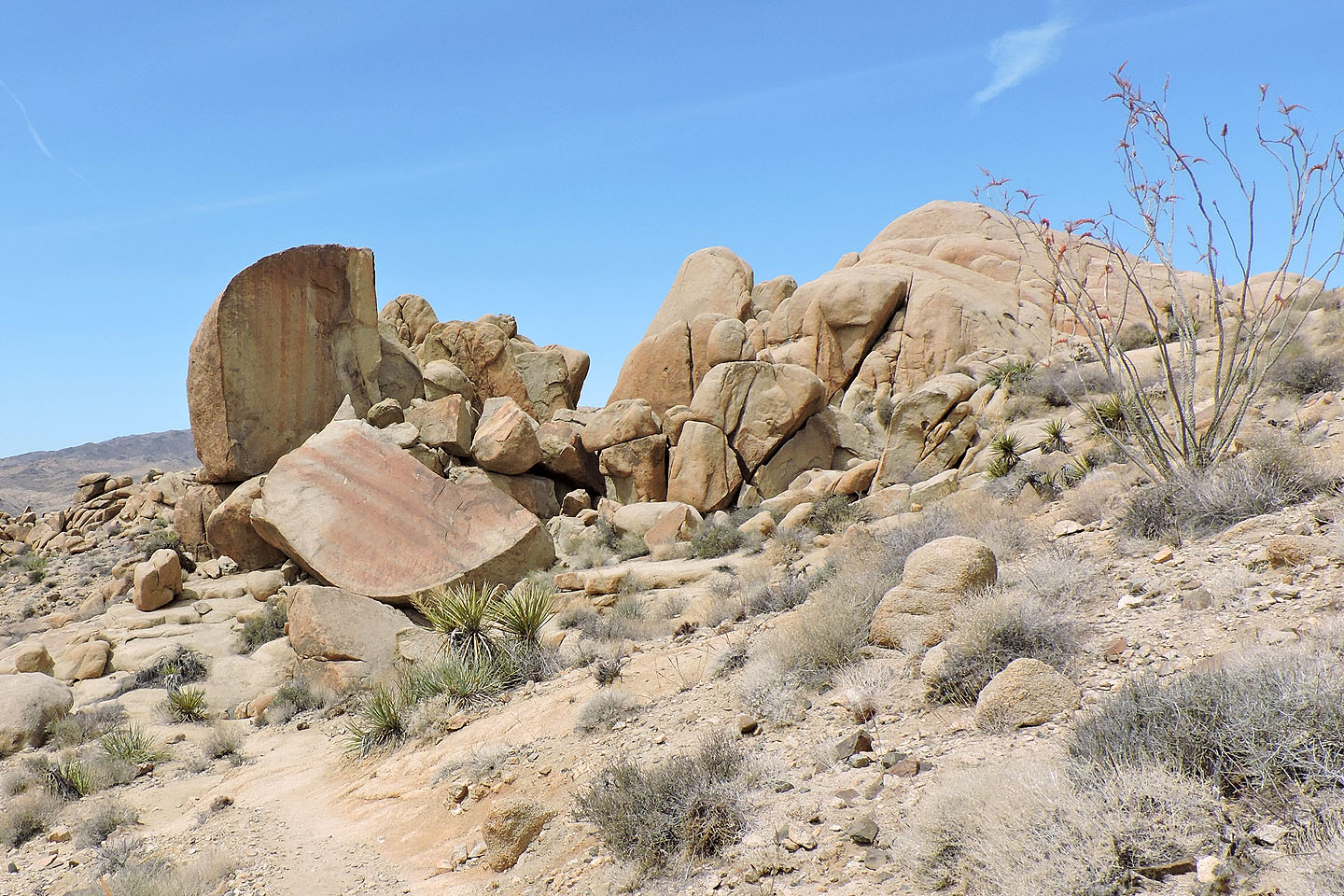
Intriguing rocky hills on our left
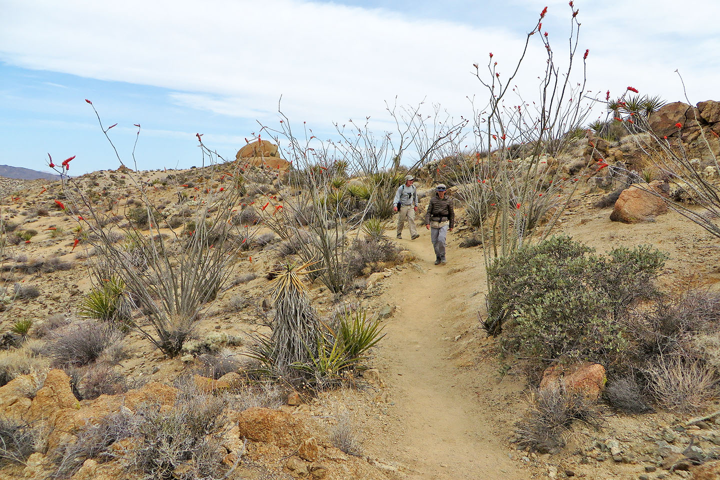
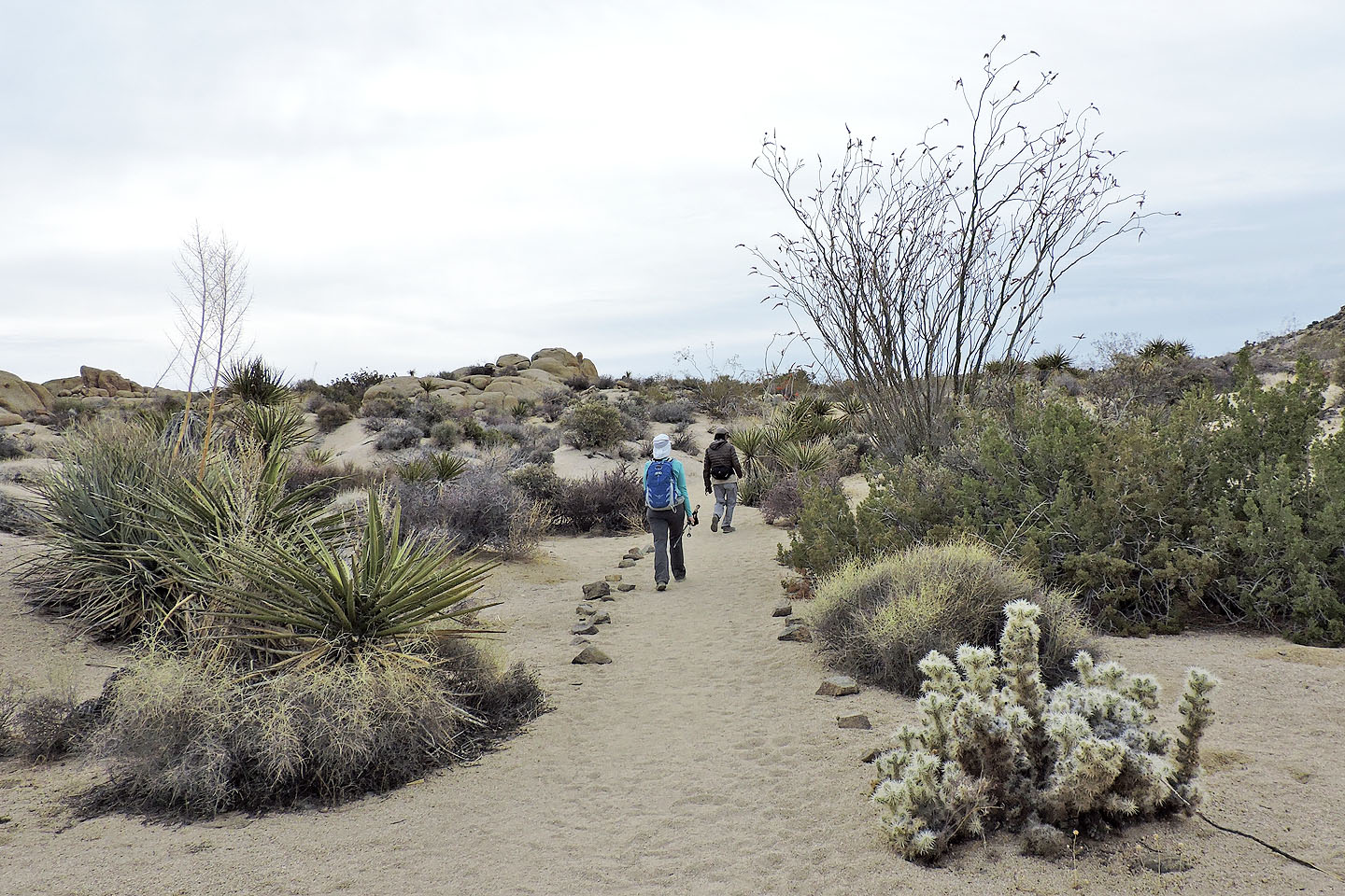
Passing through a stand of ocotillos
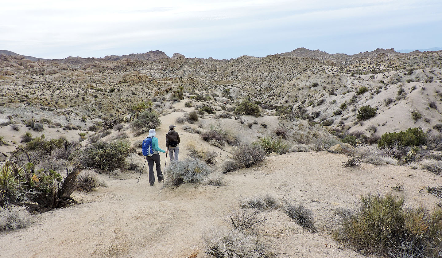
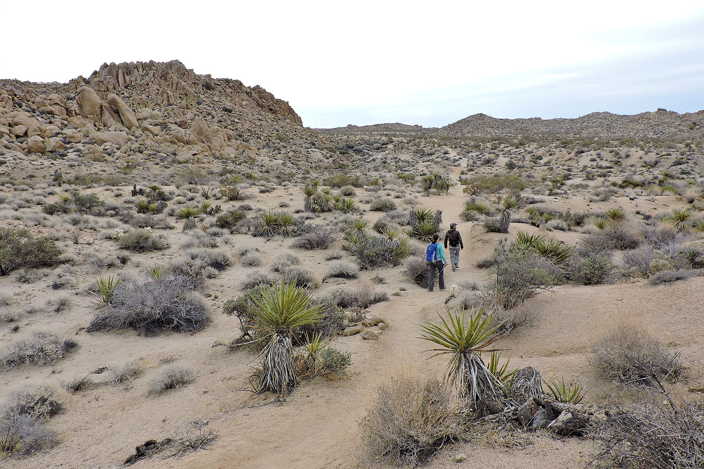
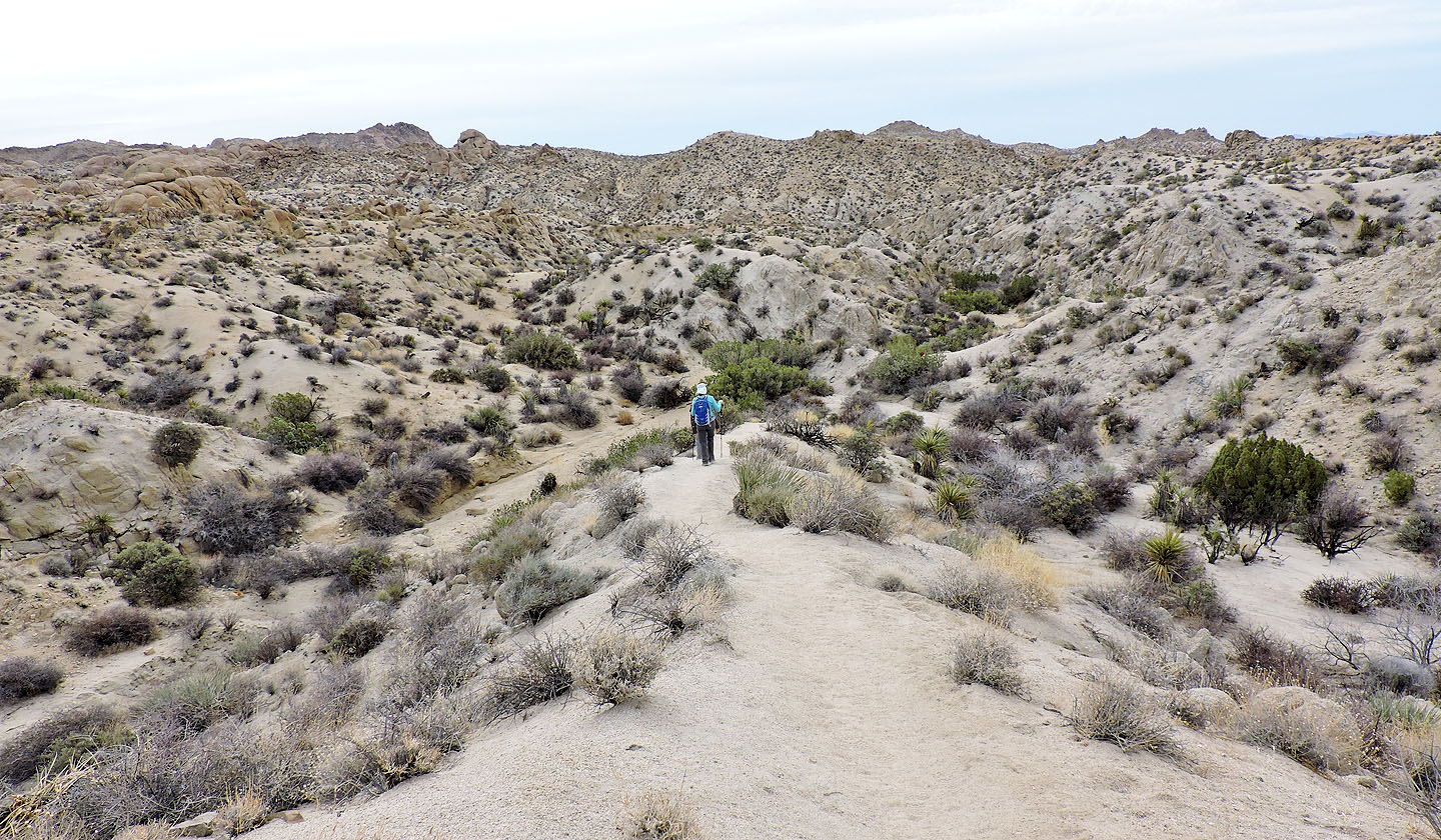
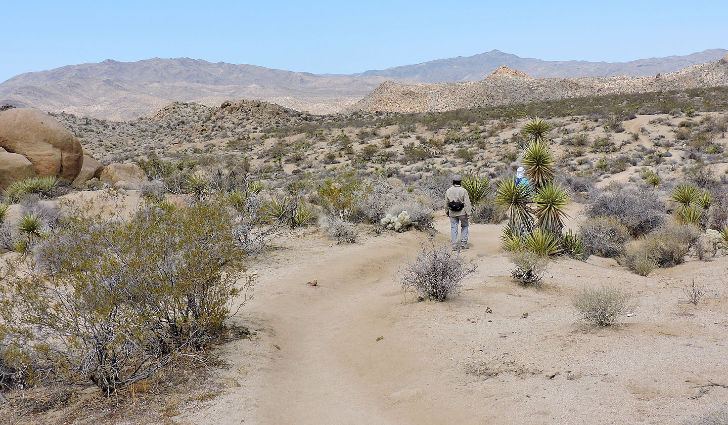
After reaching a high point on the trail, we gradually descended
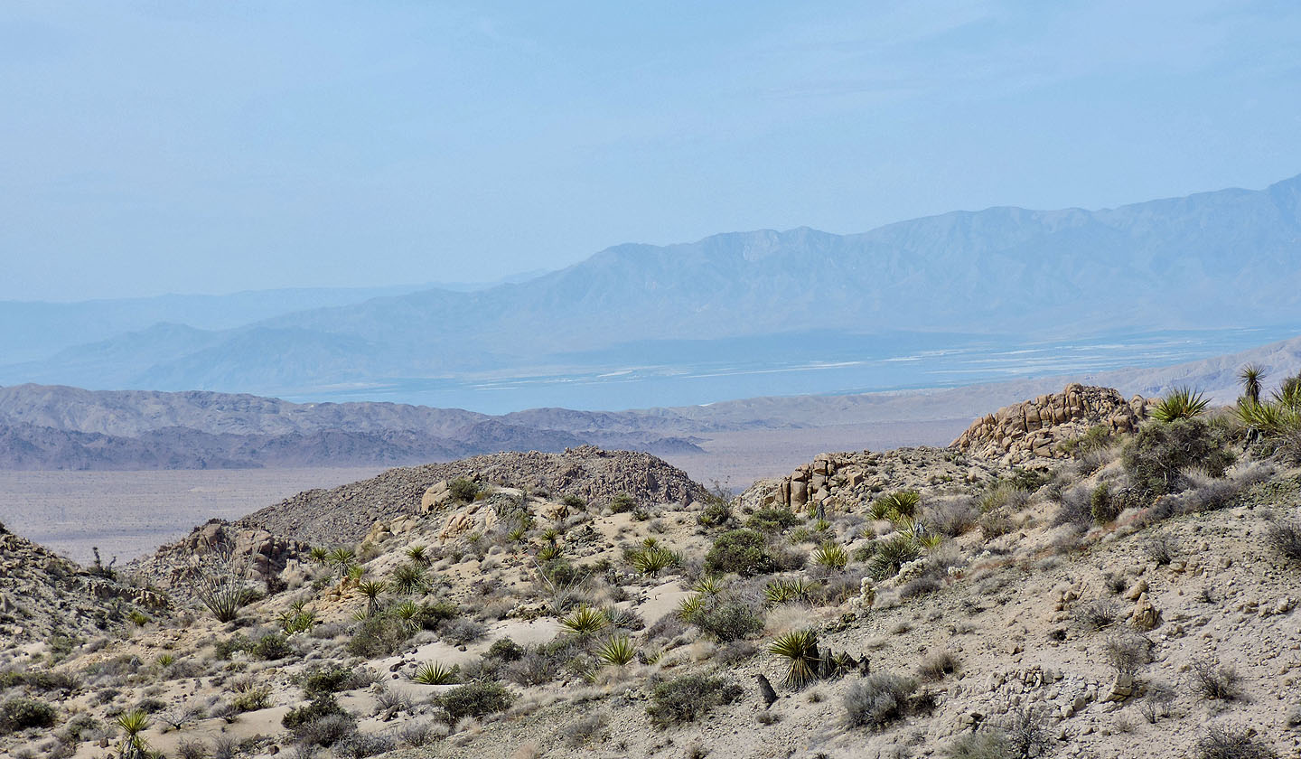
Salton Sea lies 40 km to the southwest
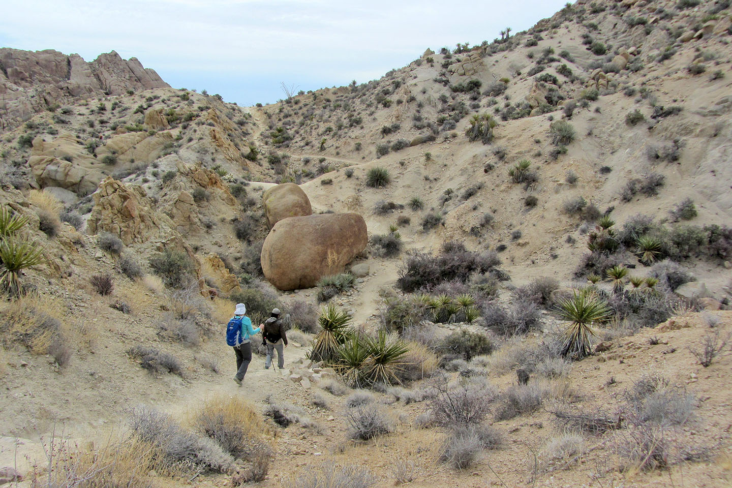
The trail drops into a wash
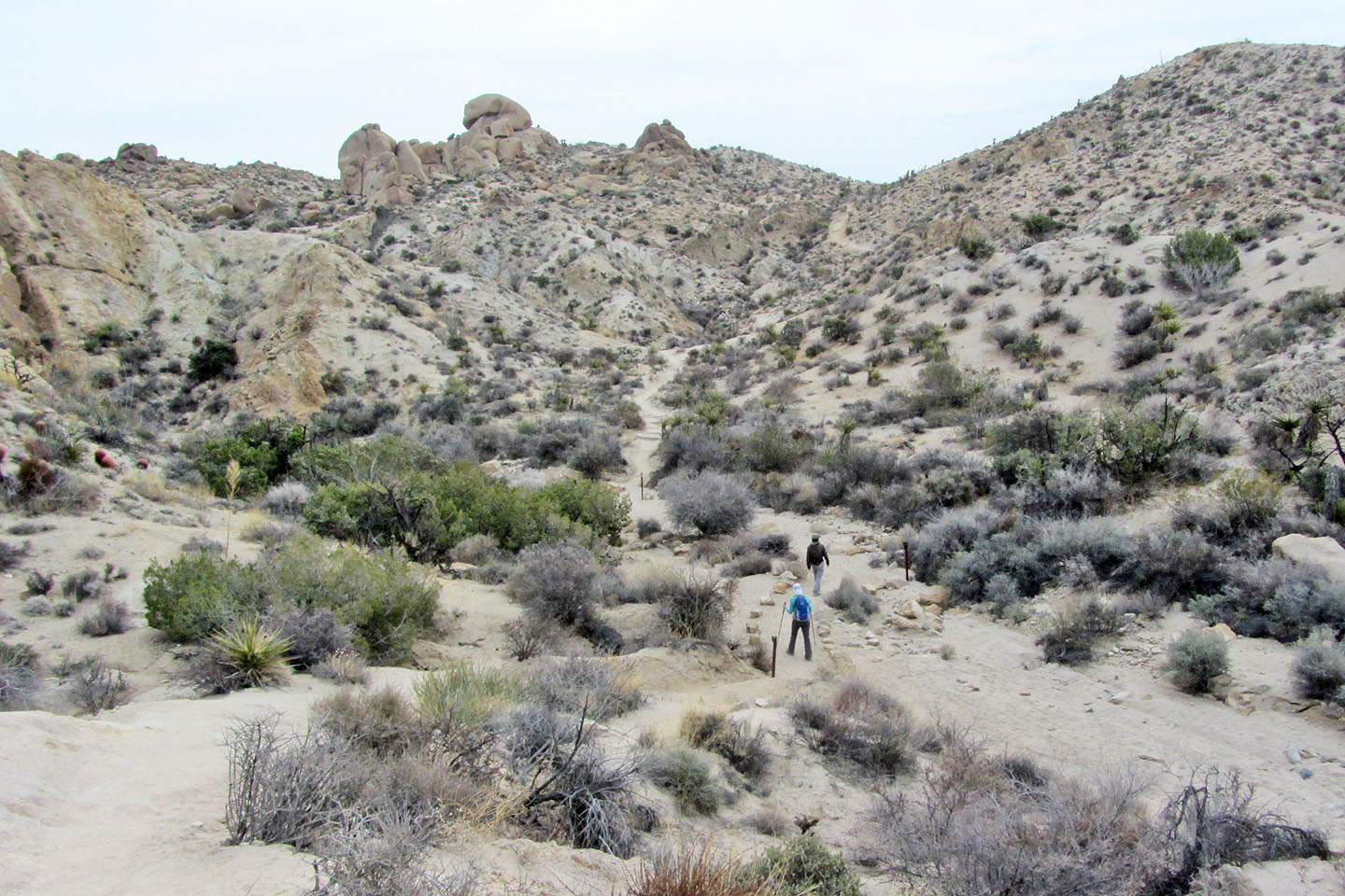
Entering the wash
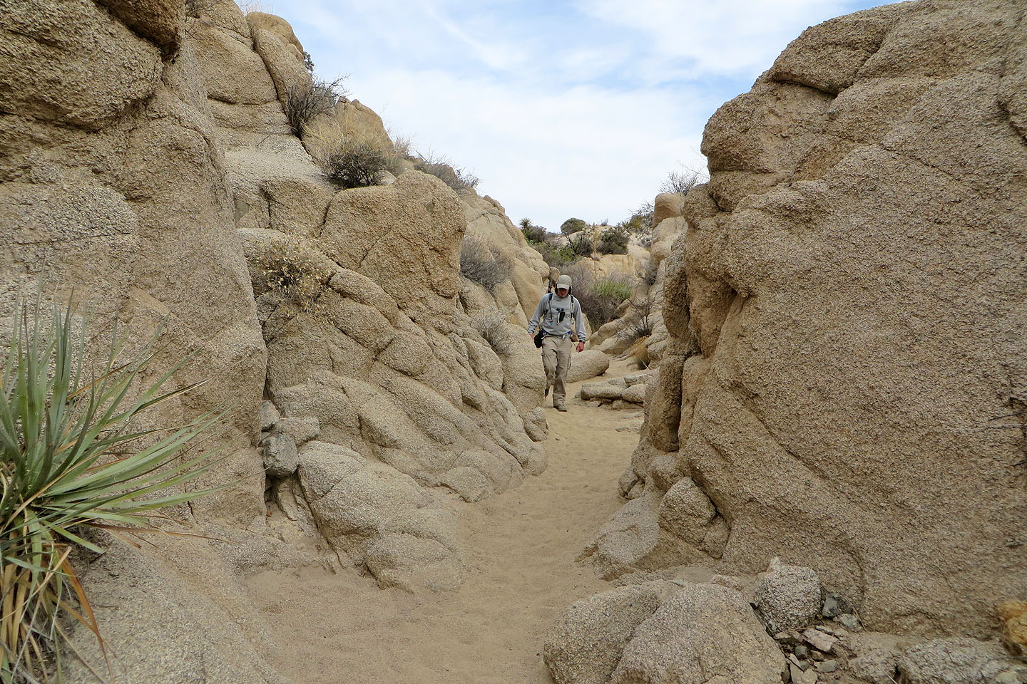
We walked down a short canyon
The trail drops down twice more before the oasis. This is the last dip.
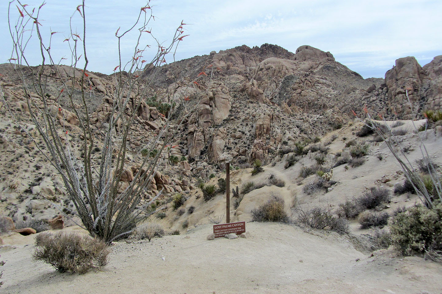
On the brink of the canyon bearing the palms. Instead of dropping down, we kept right.
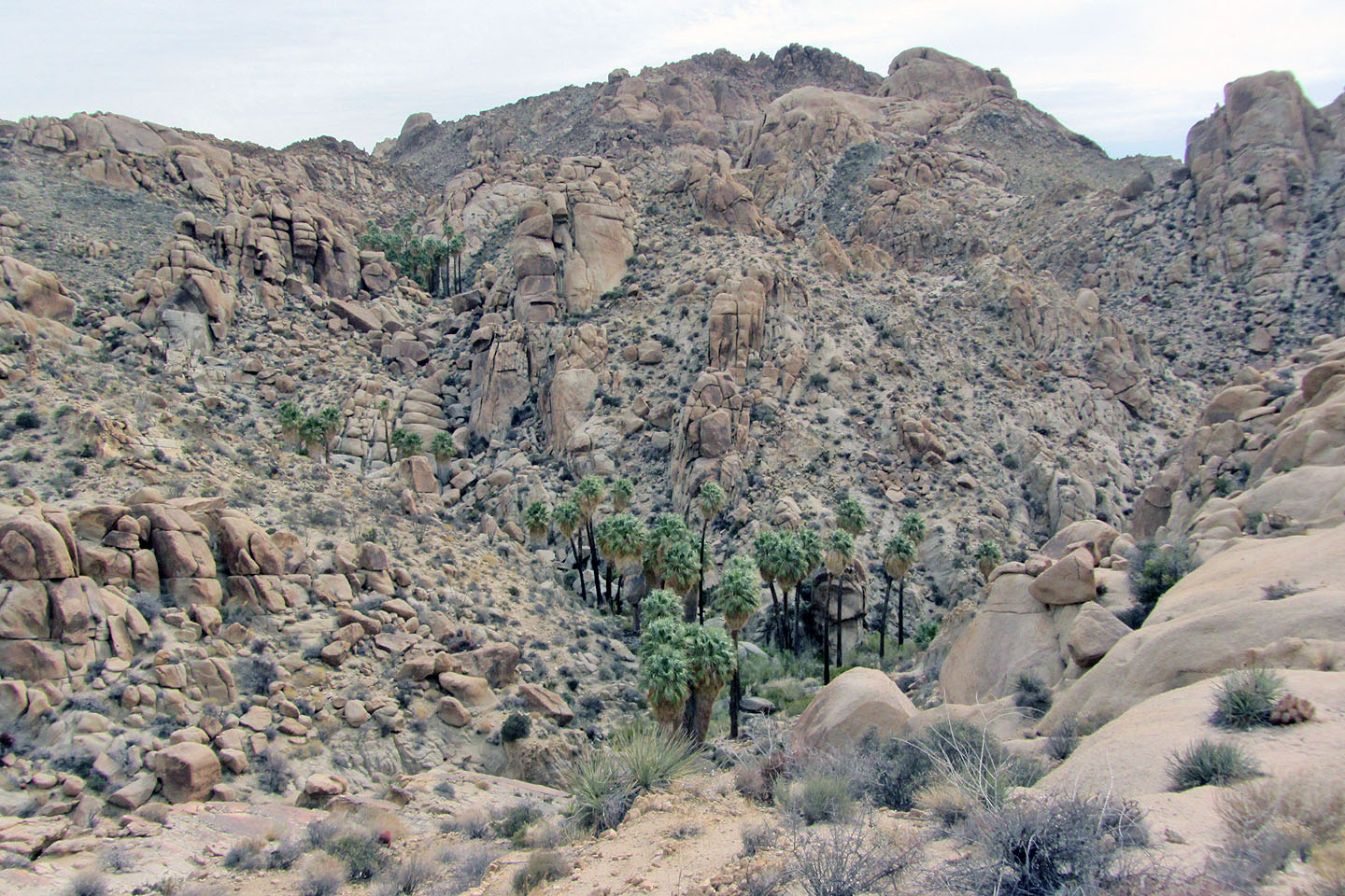
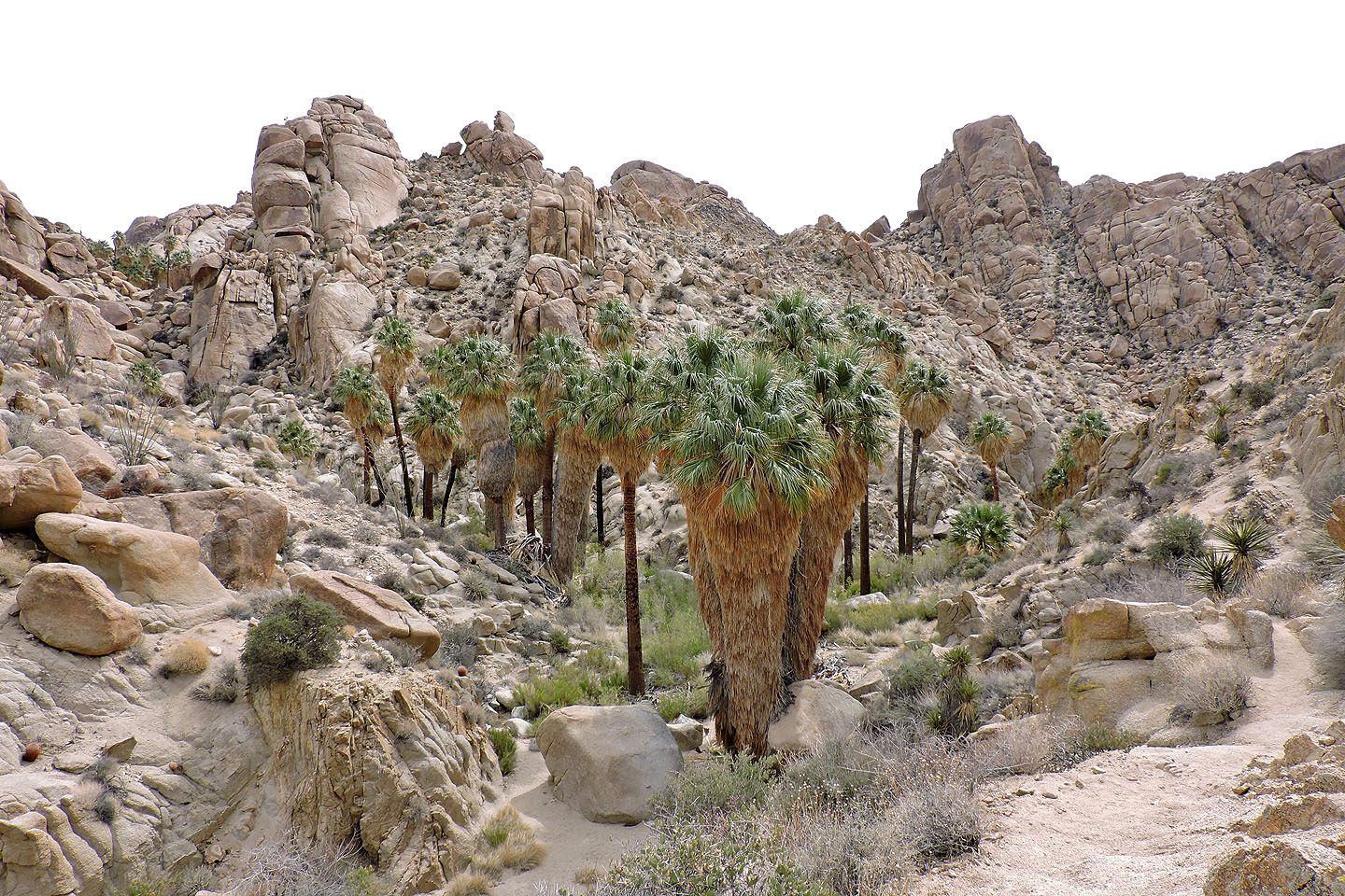
We got our first look at Lost Palms Oasis before descending
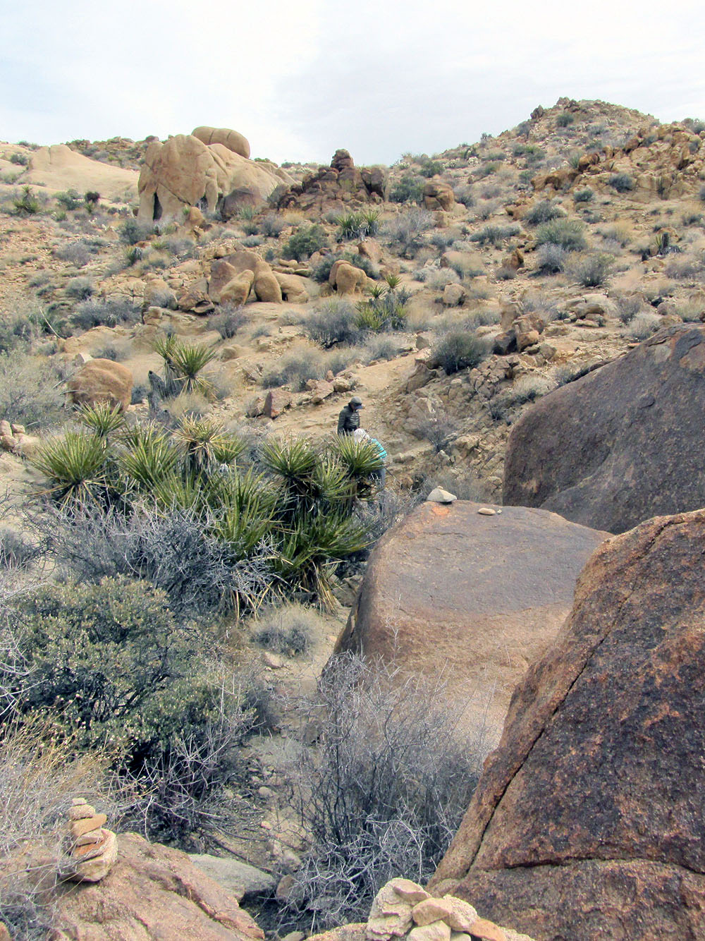
Coming down the ridge route. Note the cairns in the foreground.
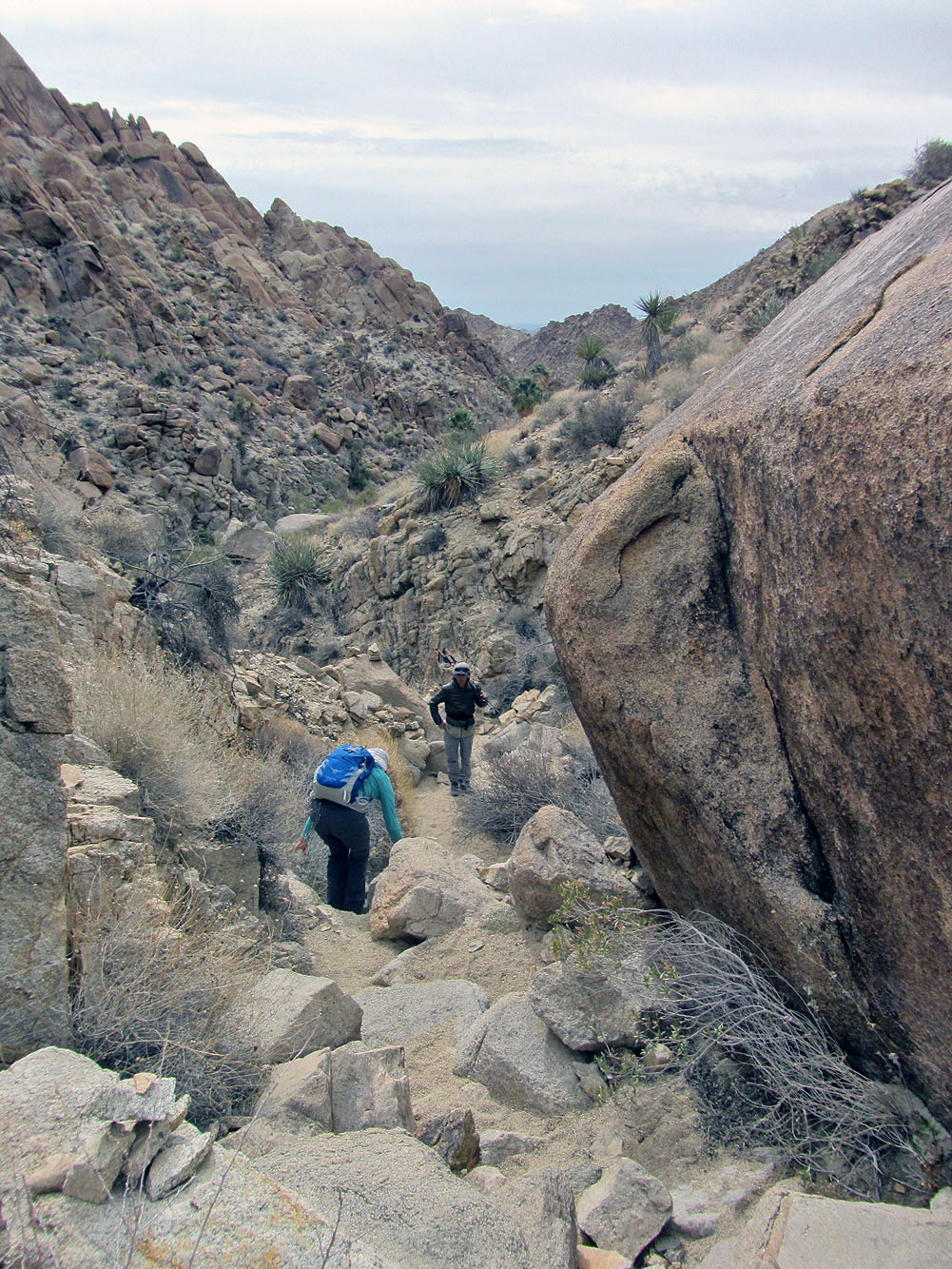
There's a bit of scrambling on the way down to the canyon
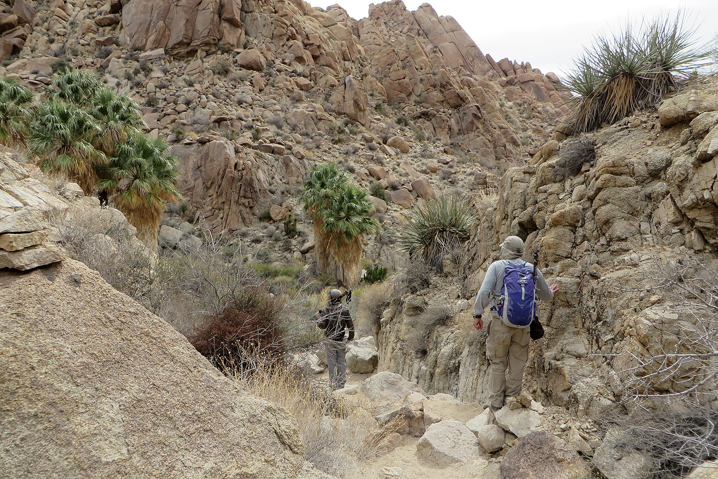
Entering the canyon
Looking up the canyon
Sand covers the canyon floor
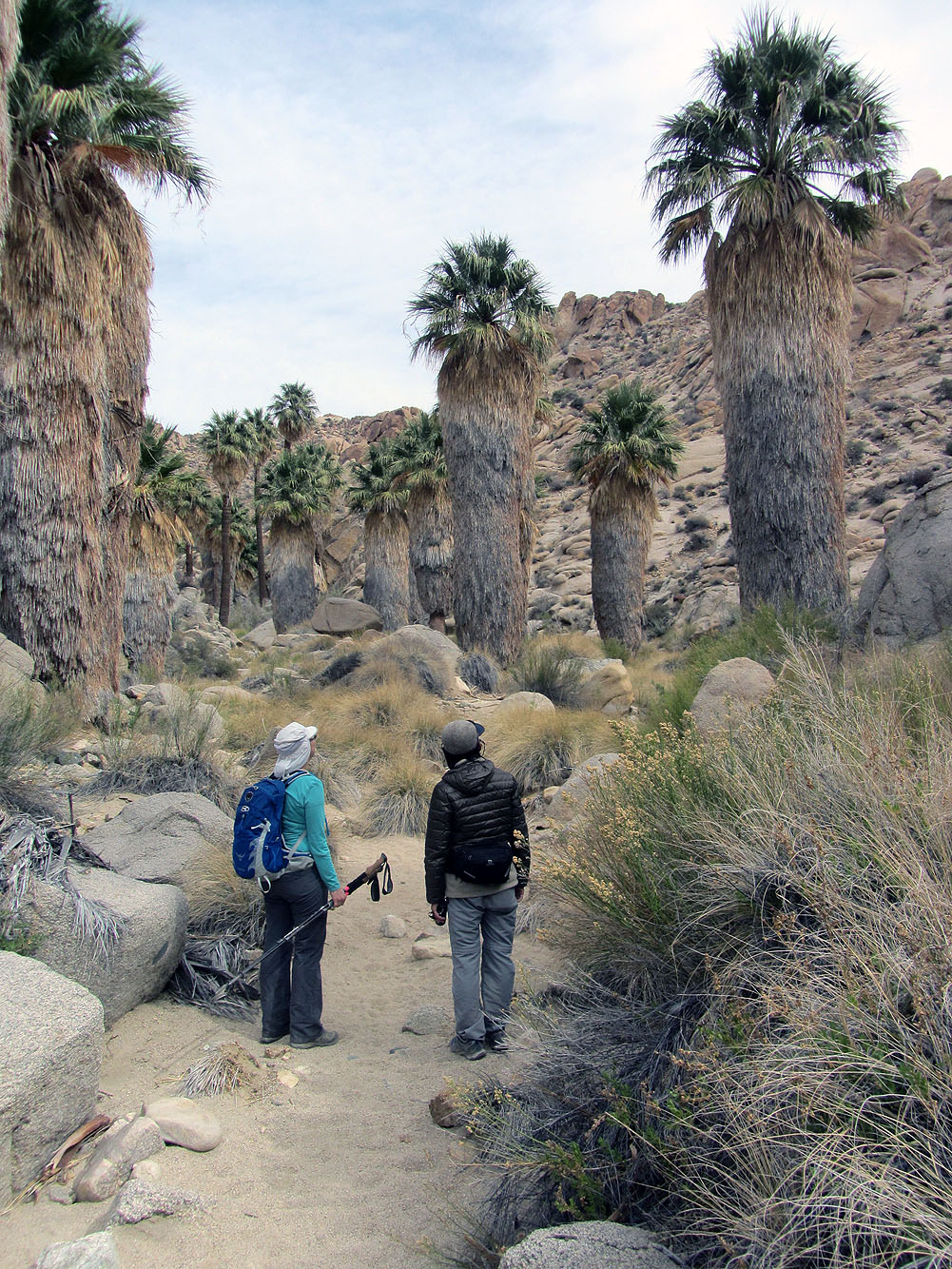
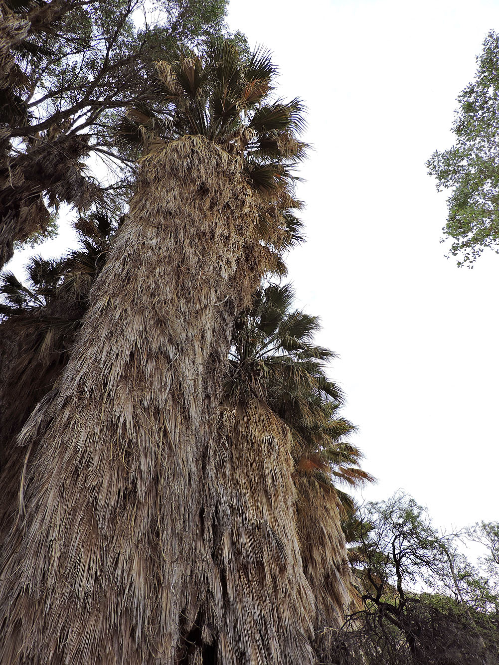
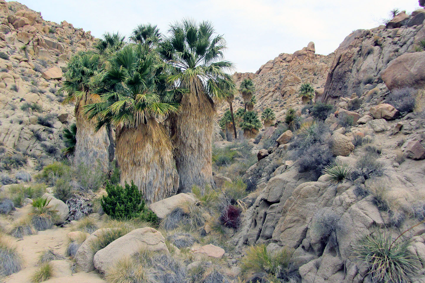
Surrounded by tall palm trees
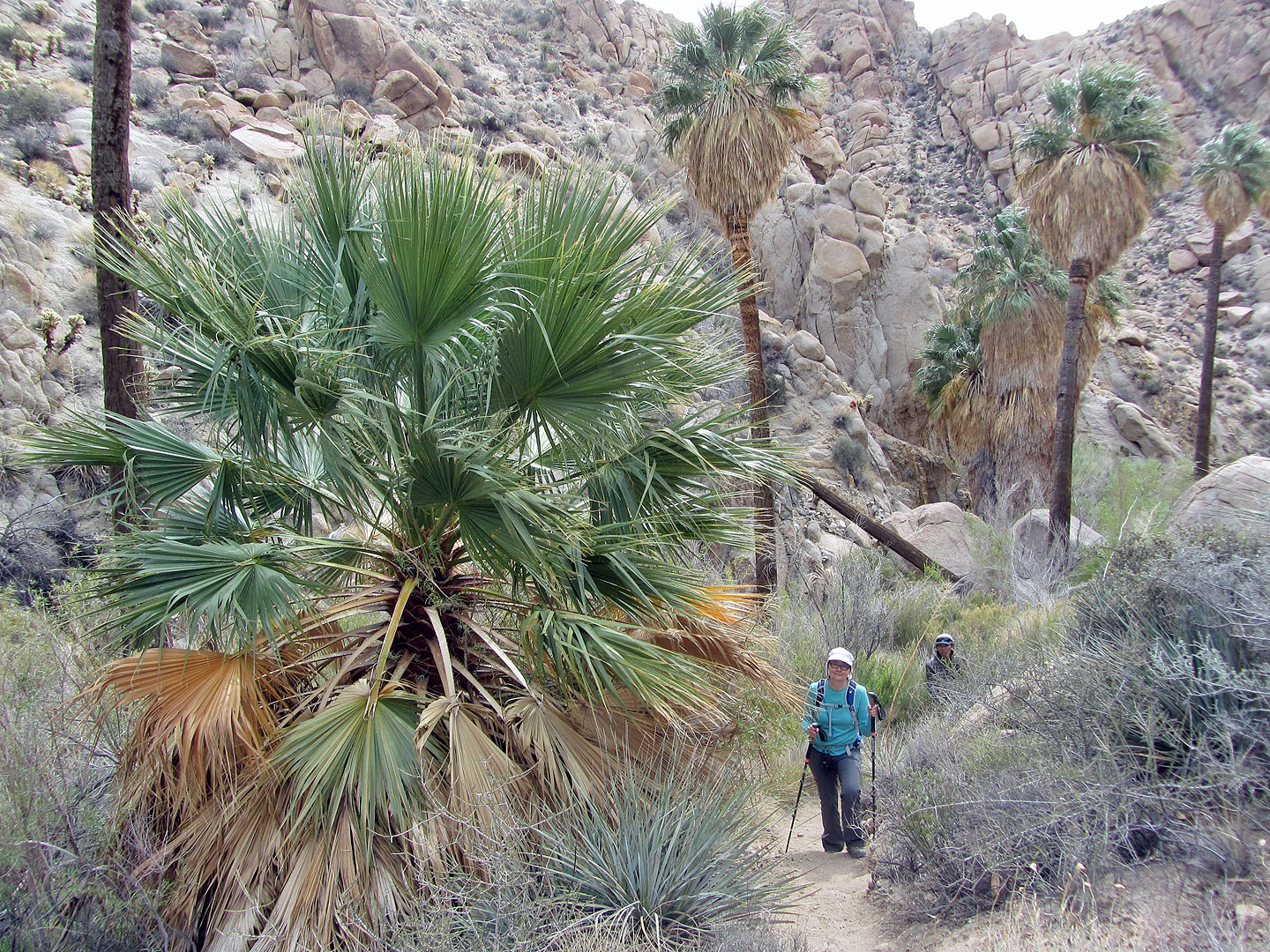
Passing by a young tree
We had lunch at the base of a trio of palms
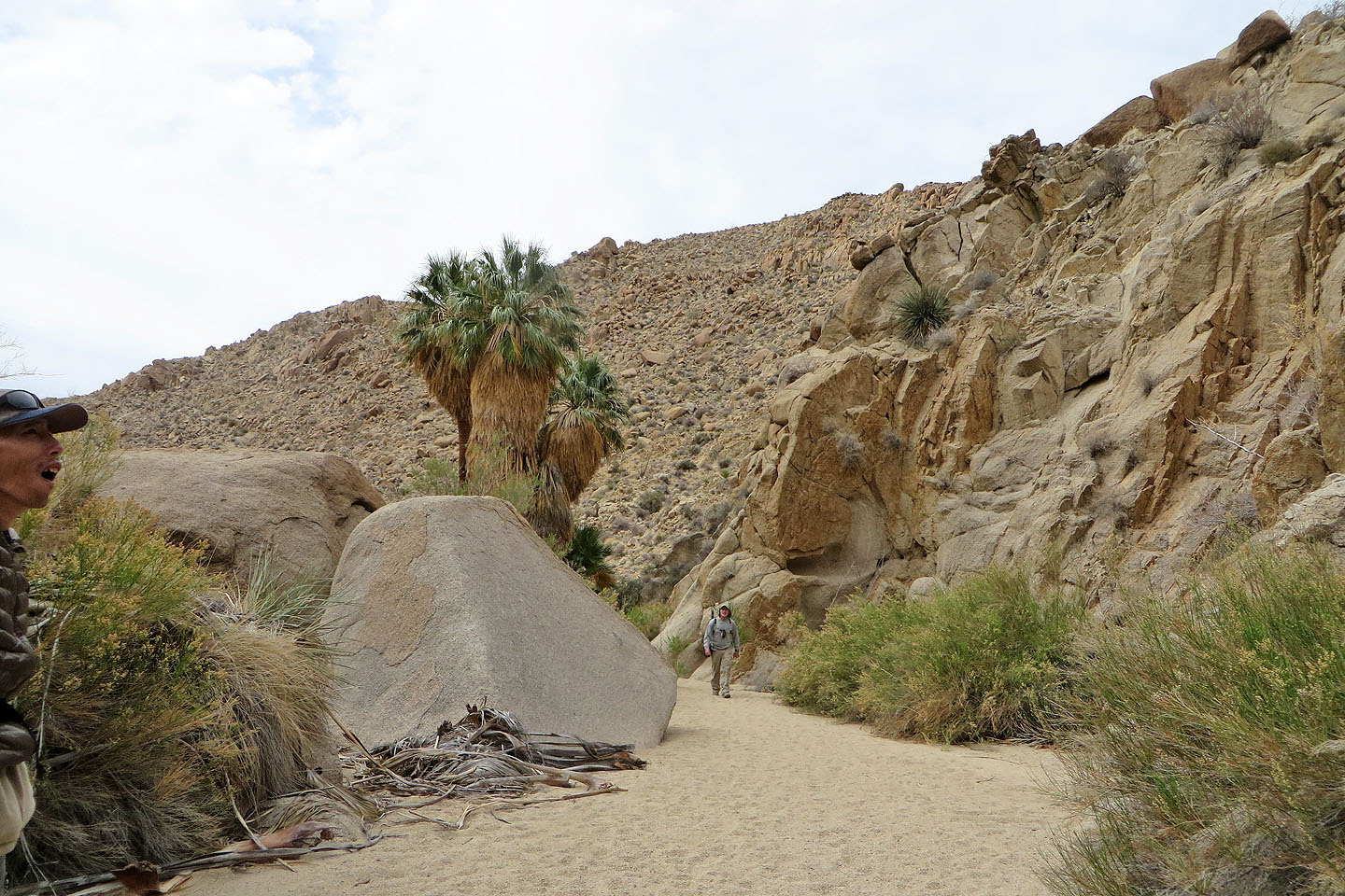
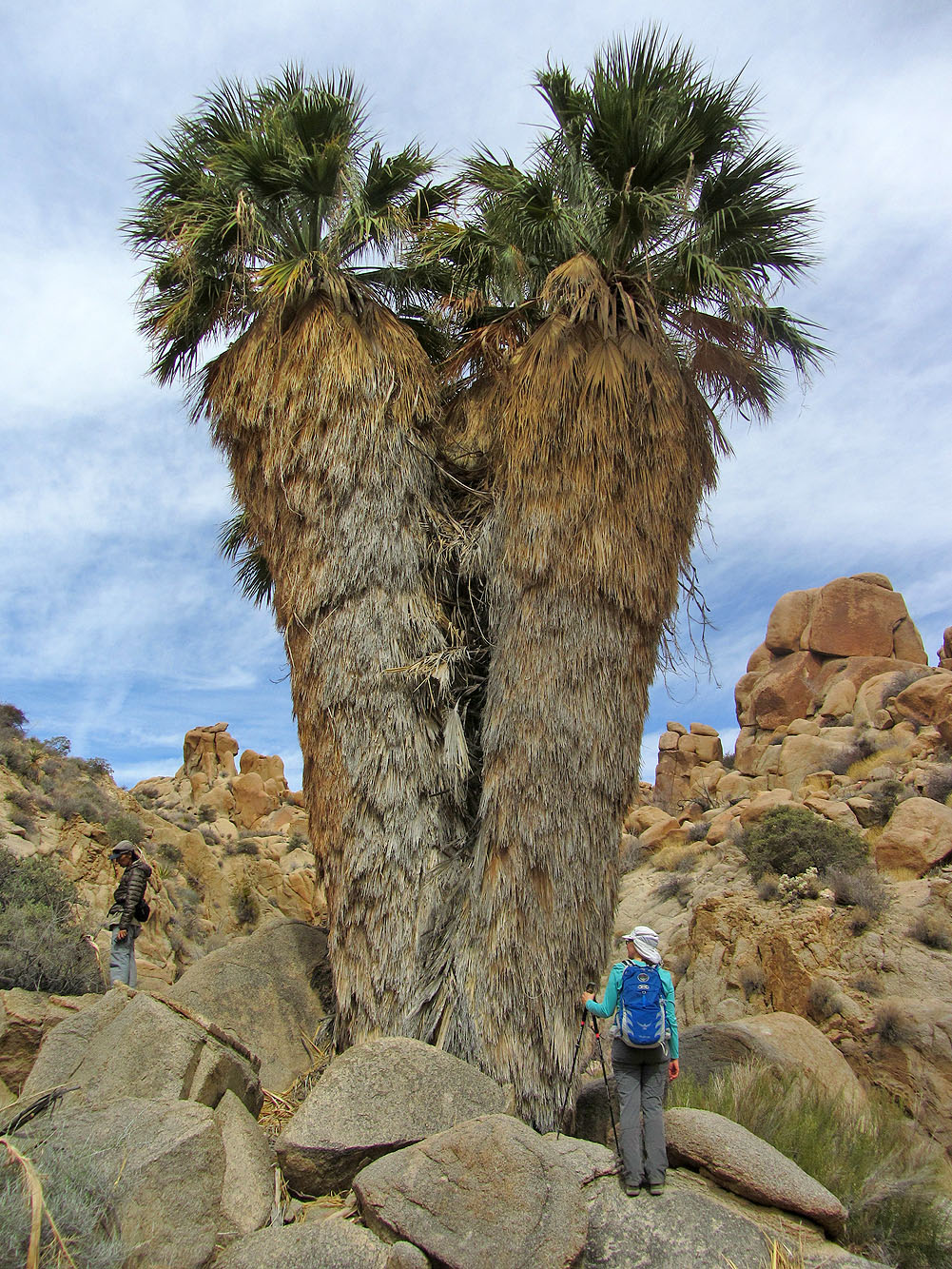
A parting look at the trees as we left
Heading back down the trail to Mastodon Peak (above Dinah)
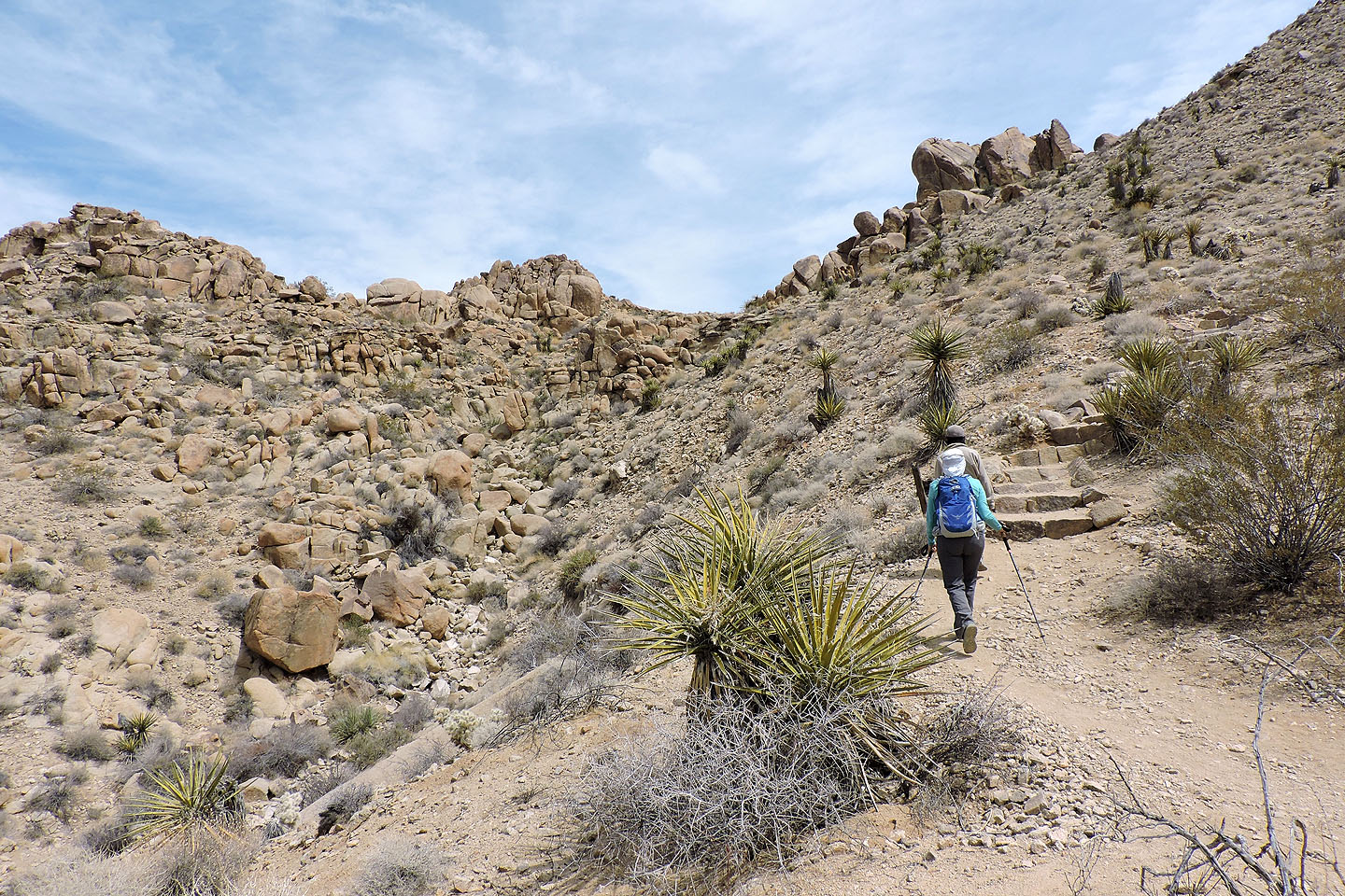
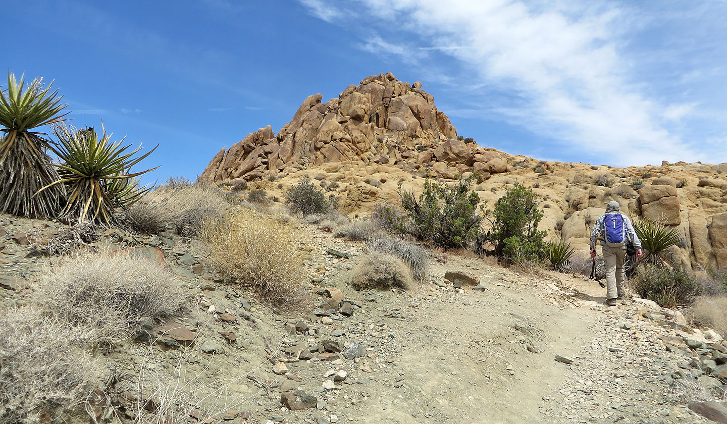
On the trail leading to Mastodon Peak (centre)
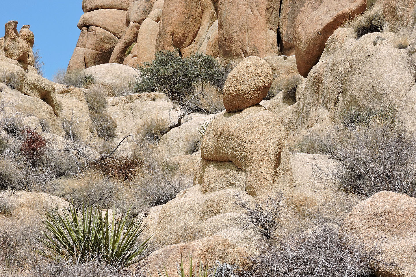
This rock reminded us of a Buddha statue
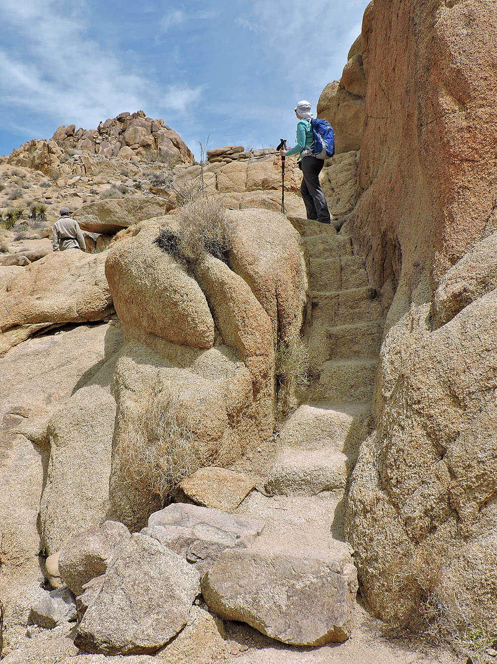
A stairway carved in monzogranite
Behind us, an enormous boulder appears to have split
Mastodon Peak presents a steep face, but there's an easy climb on the right side
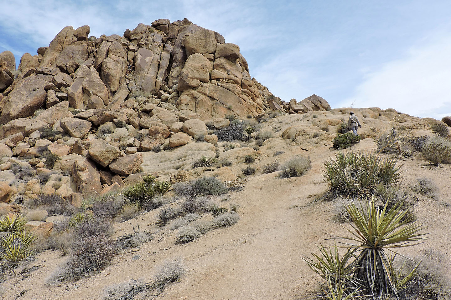
Coming to the base of the summit boulders
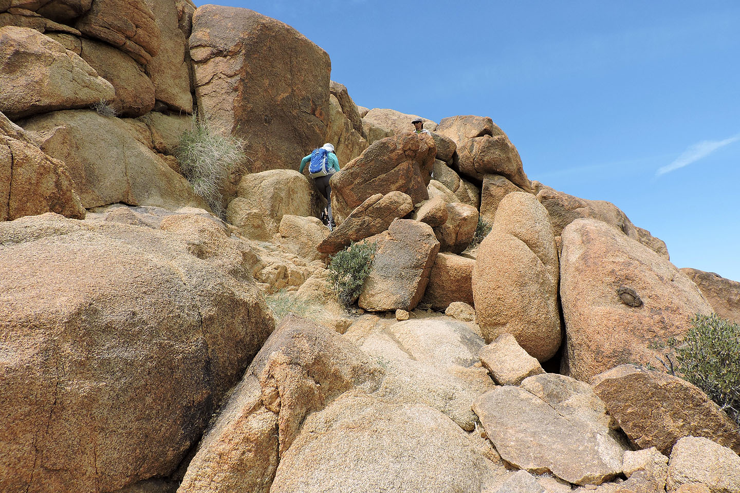
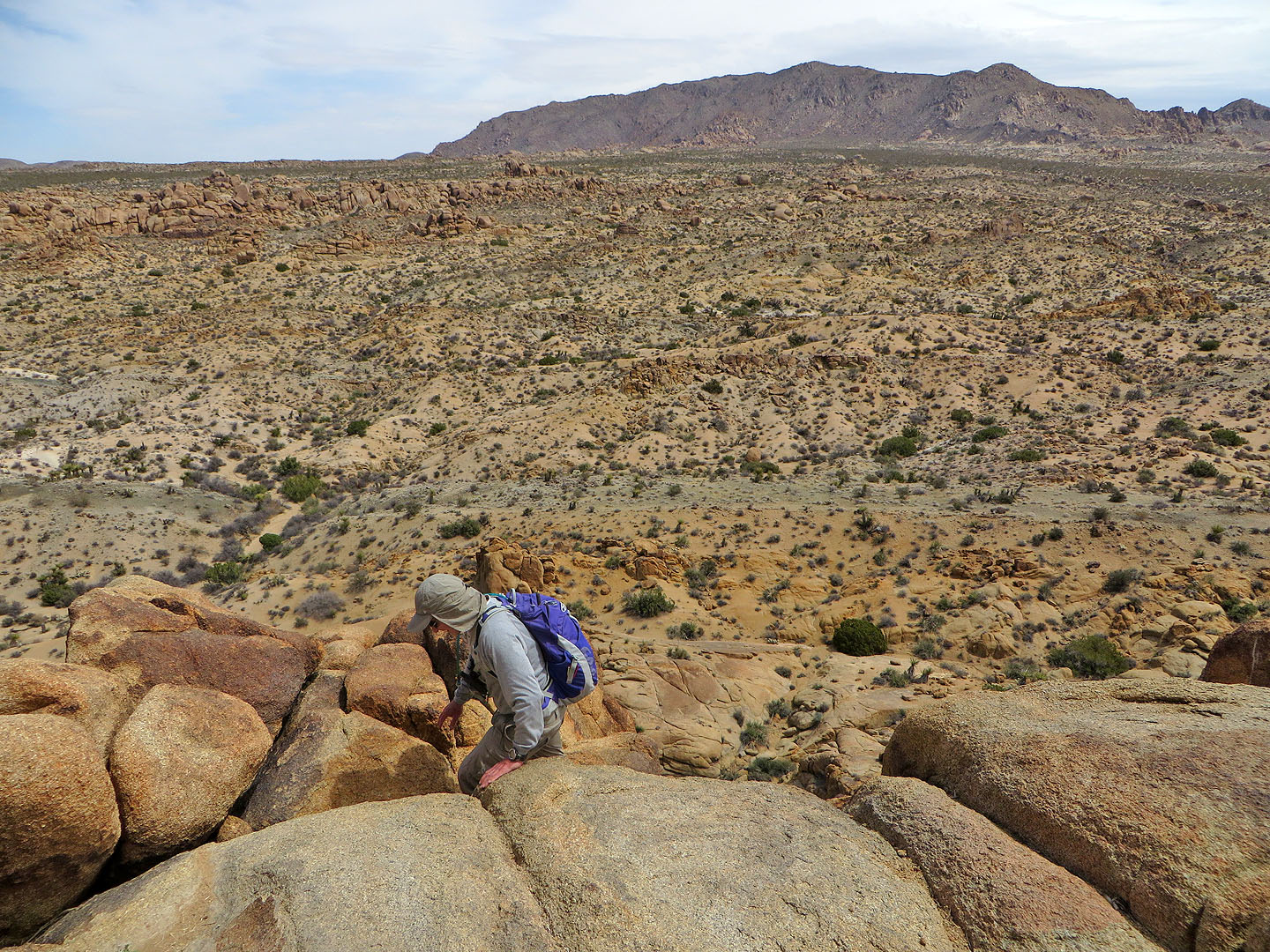
Scrambling to the summit
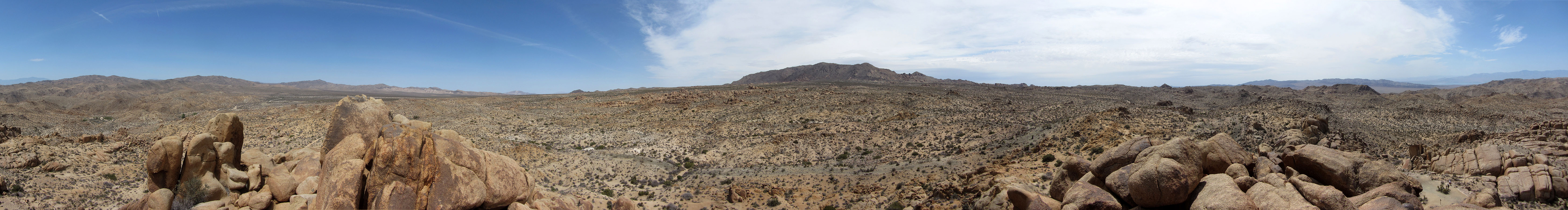
View to the northwest
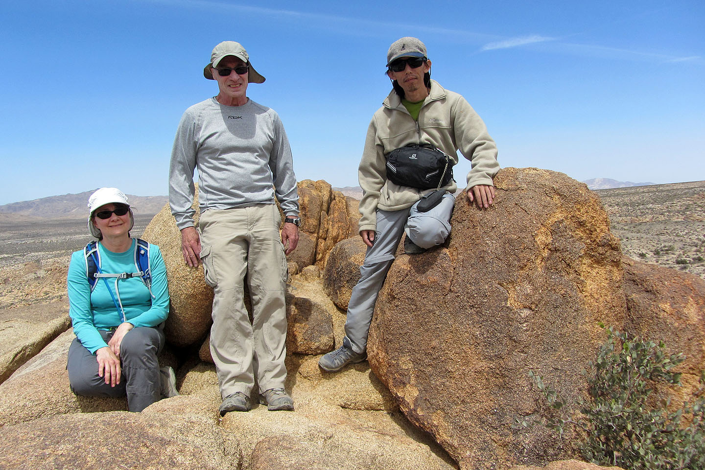
On the summit
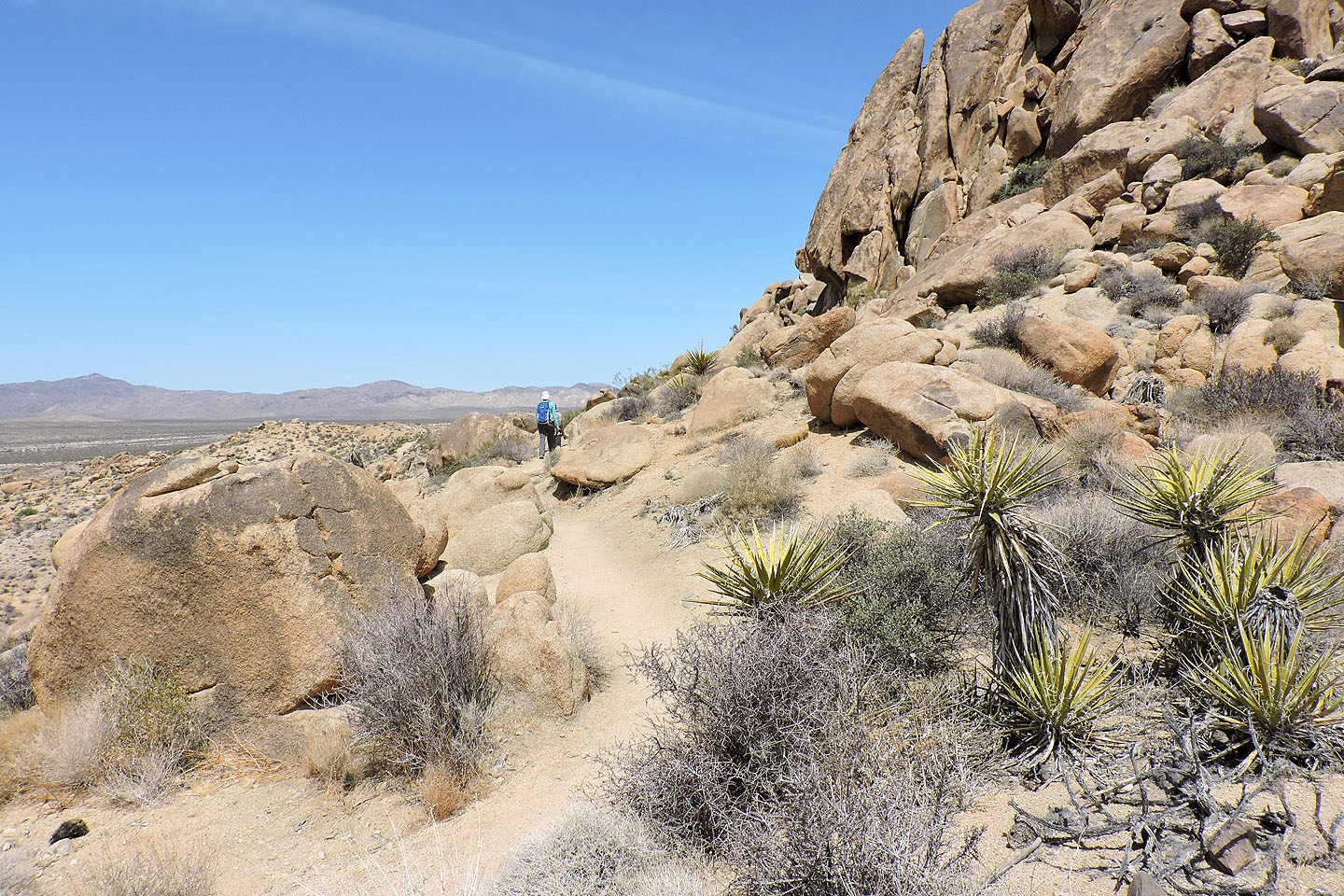
Heading back using the Mastodon Peak Loop trail
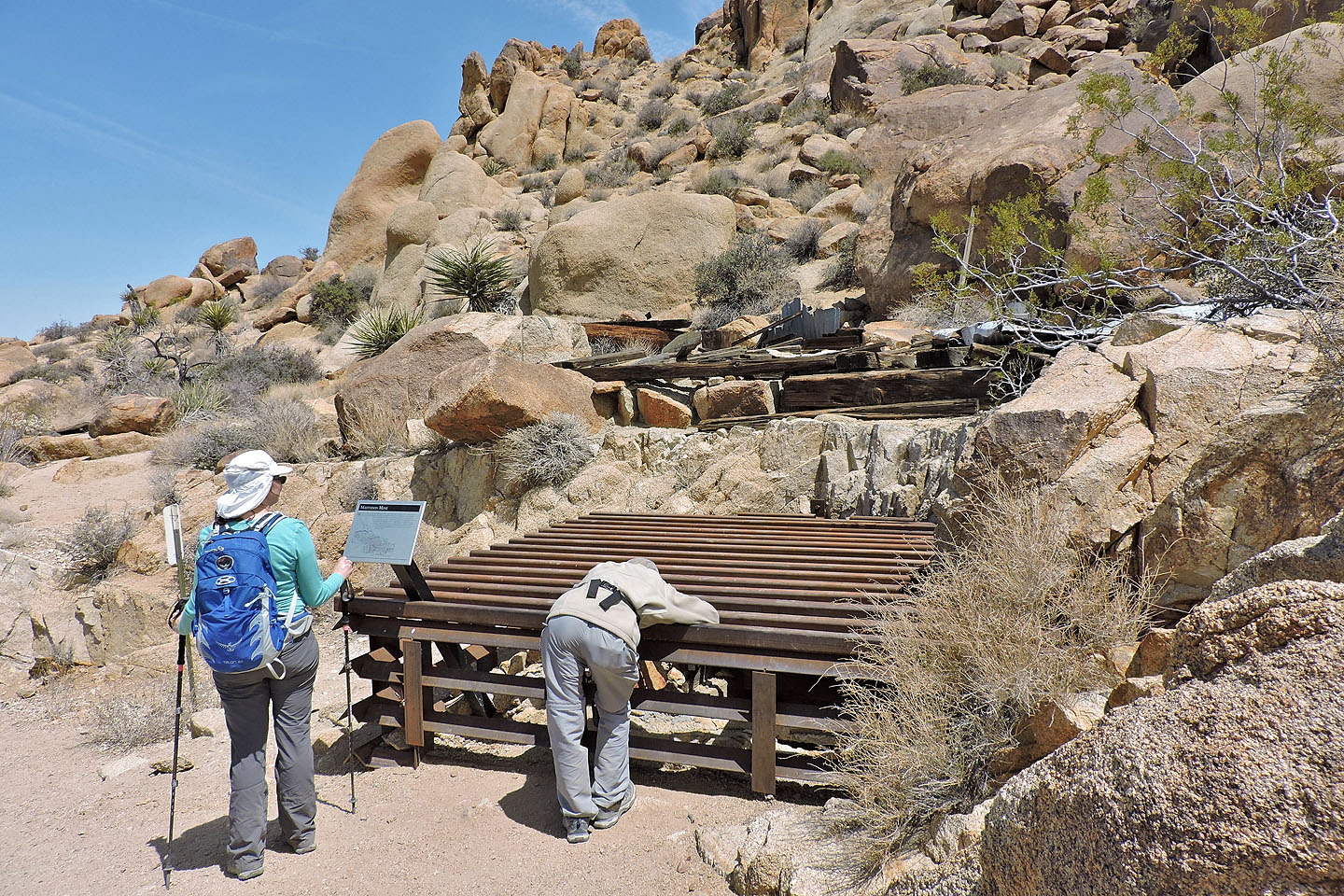
We stopped to look at Mastodon Mine (mouse over for info)
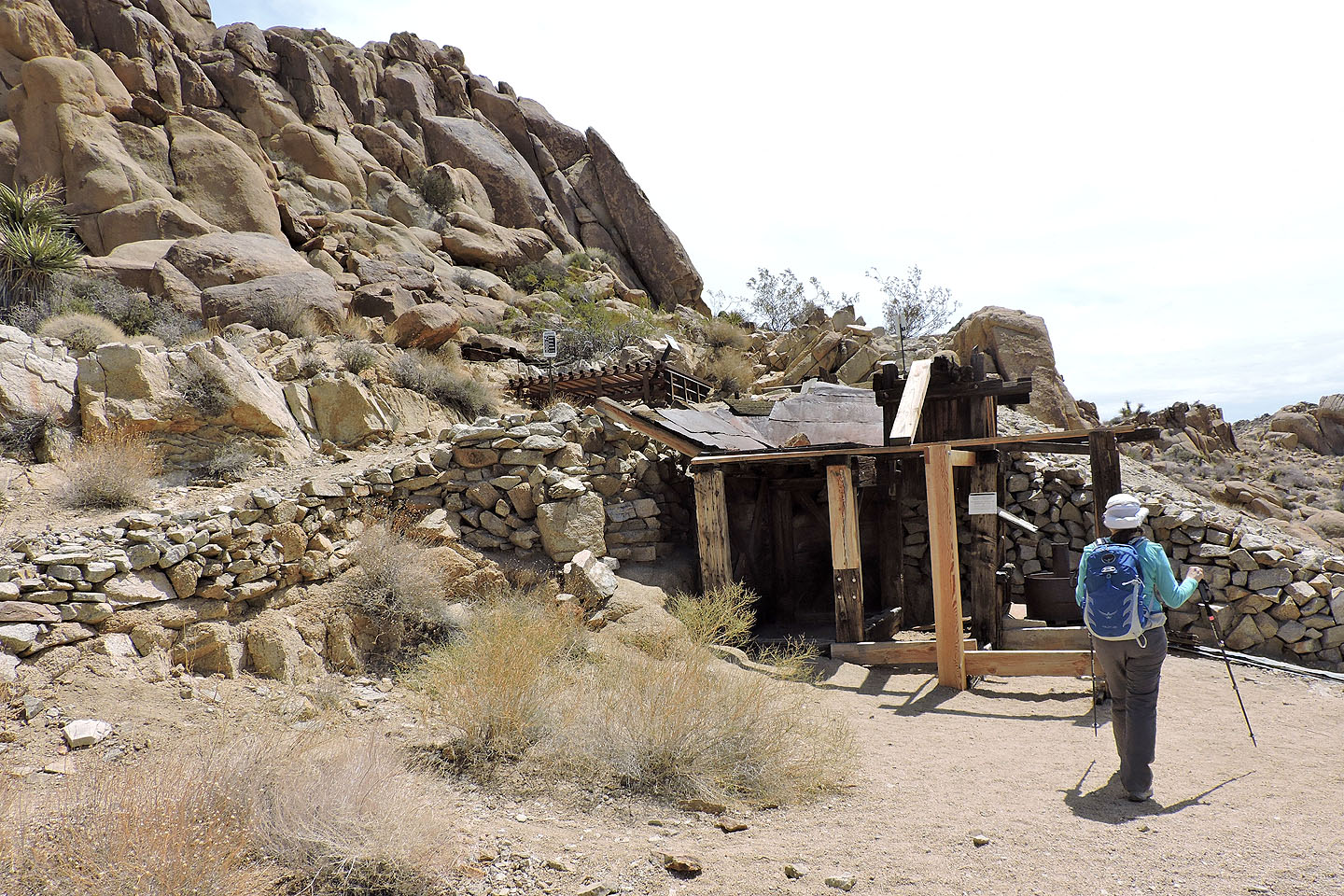
Another view of the mine
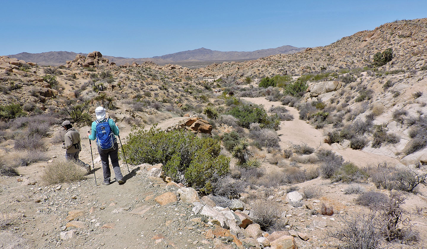
The trail drops into a sandy wash
Hiking in the wash
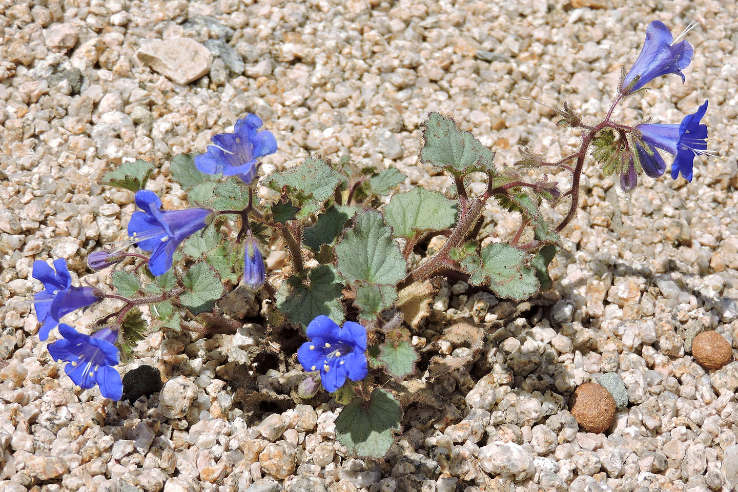
Desertbell
Cottonwood Spring (8.6 mi, 3428 ft, 443 ft)