bobspirko.ca | Home | Canada Trips | US Trips | Hiking | Snowshoeing | MAP | About
Kokoweef Peak
Mojave National Preserve, California
April 8, 2018
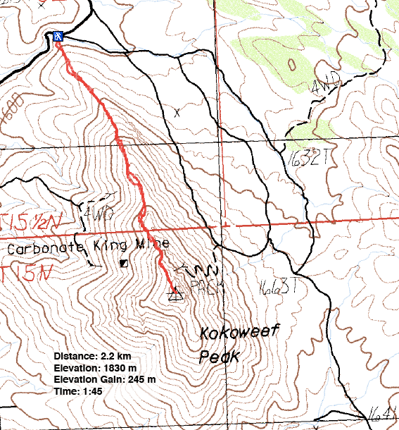
Distance: 2.2 km (1.4 mi)
Cumulative Elevation Gain: 257 m (843 ft)
Kokoweef Peak is best known for its fabled River of Gold. In the 1930s, despite geological evidence to the contrary, prospectors not only believed there was a vast quantity of gold under the mountain, one even reported finding it. The source of the gold was an underground river where gold nuggets lay in the black sands lining the shore. The River of Gold was said to be 300 feet wide in a cavern so large that one stalactite was “27 feet in diameter and hangs 1,510 feet down,” taller than the Eiffel Tower! From 1940 to 1946 zinc was mined in Kokoweef Peak and proceeds were used to help finance the search for the River of Gold caverns. But neither river nor gold was ever found.
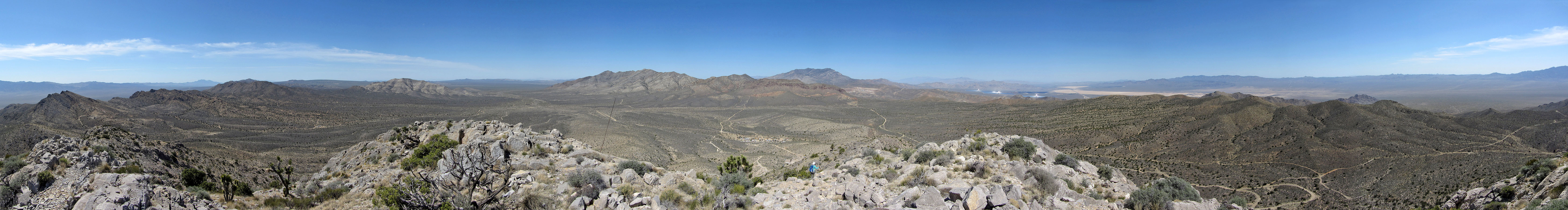
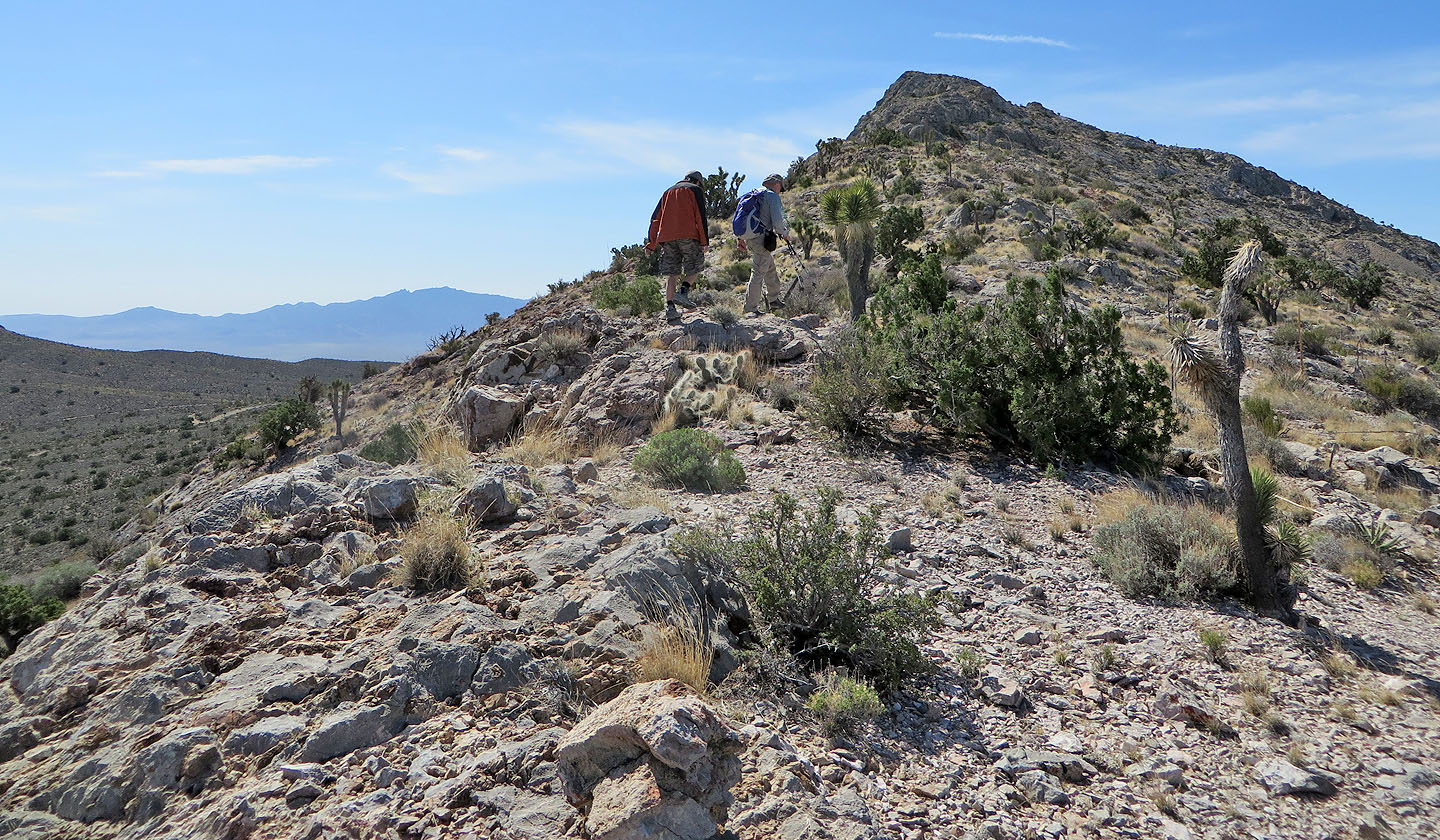
Kokoweef is long in history but short on hiking. Shin, Dinah and I followed the northwest ridge, a little over a kilometre from start to summit. Other than signs of past mining activity, the ridge had little to offer, but summit views were satisfying.
Kokoweef Peak can be reached by following Bailey Road off of I15. Most cars should be able to drive the dirt road to the starting point, but be sure to keep left at both intersections. The second intersection bears a sign indicating Kokoweef is right, but that dead-ends at the base camp of the mine.
After our short hike, we followed it up with a search for the crash site of a small bomber. Shin, who has visited a couple of dozen plane crash sites, was certain we would find the remains of the aircraft on a hill near Kokoweef Peak. But like the hunt for gold under the mountain, our hour-and-a-half search among desert shrubs and cacti proved fruitless. However, a crash site does exist, just not where we were looking.
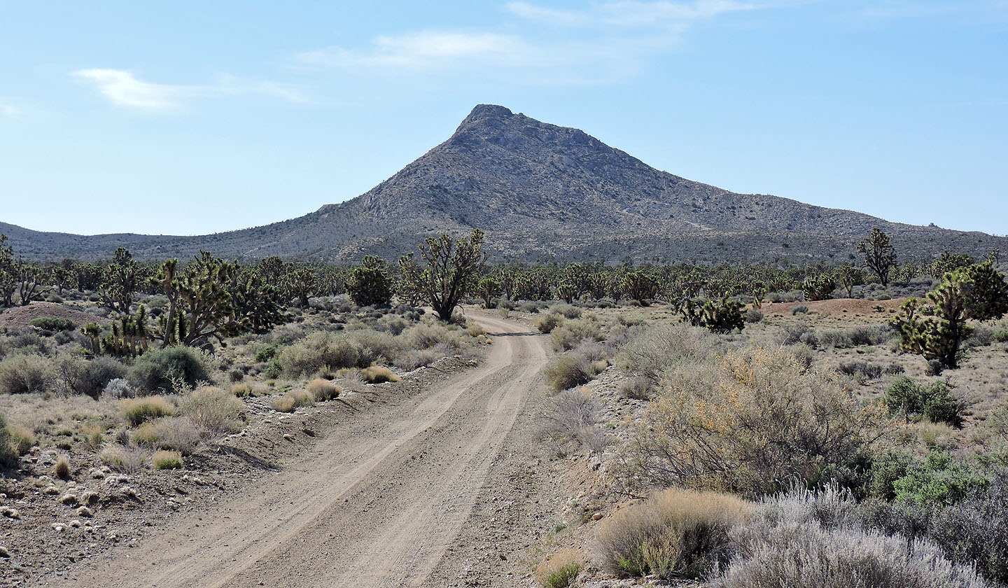
The dirt road leading to Kokoweef Peak
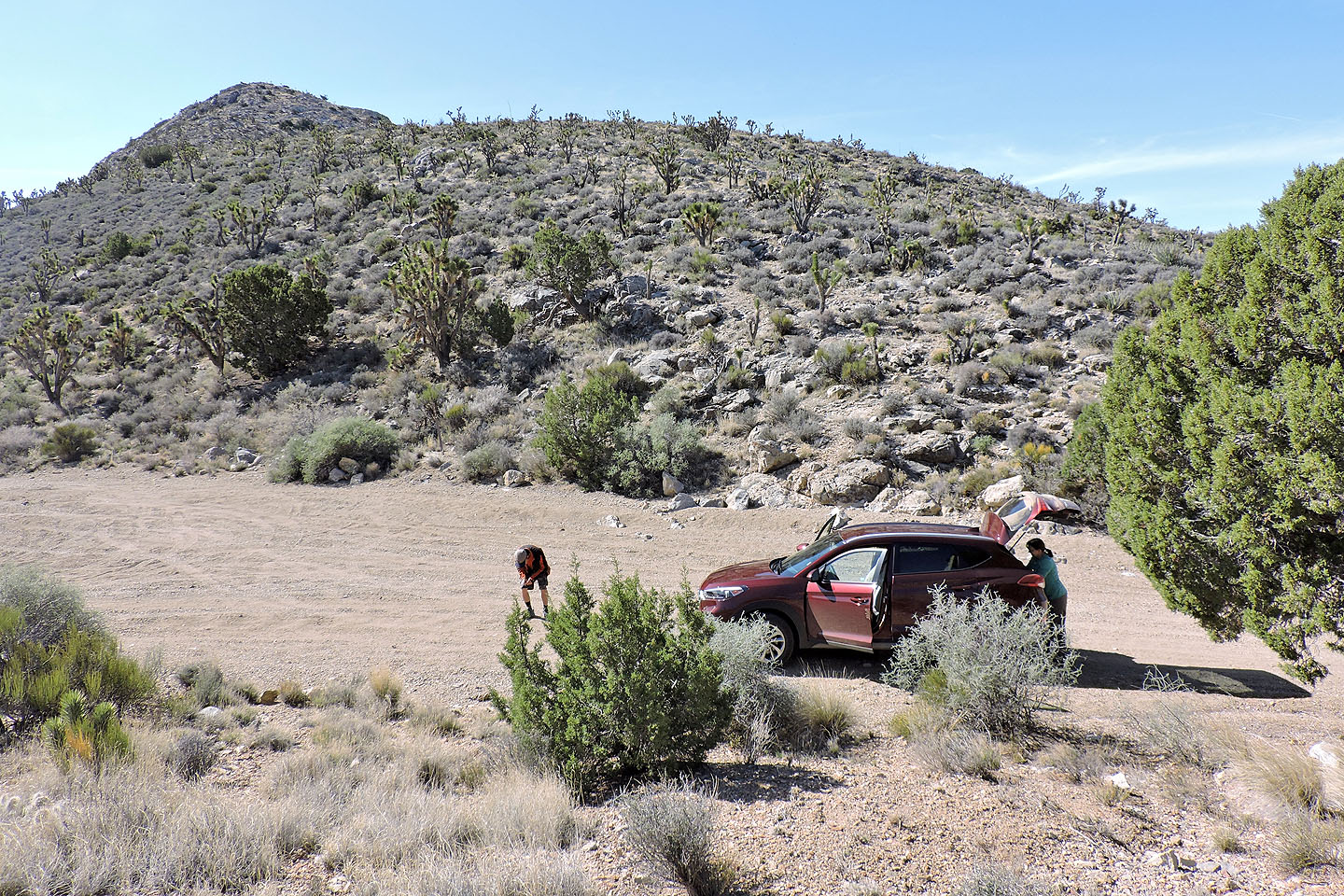
We parked at the north end of the ridge
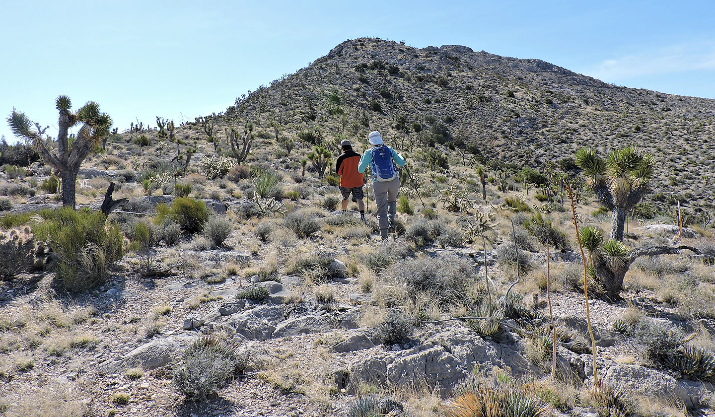
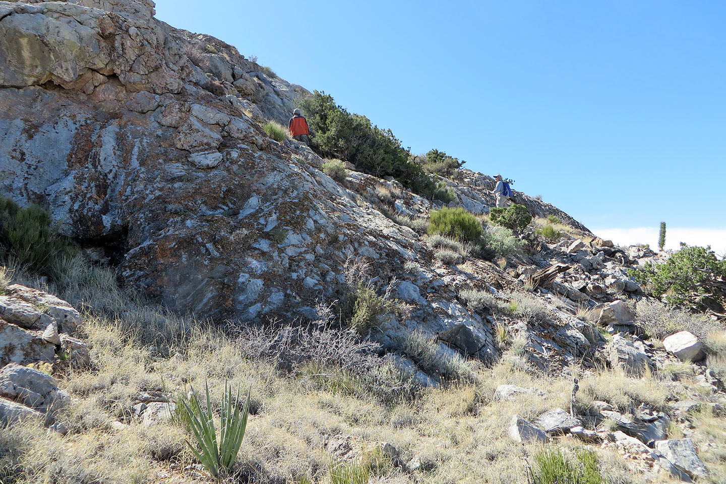
We were soon hiking up the ridge
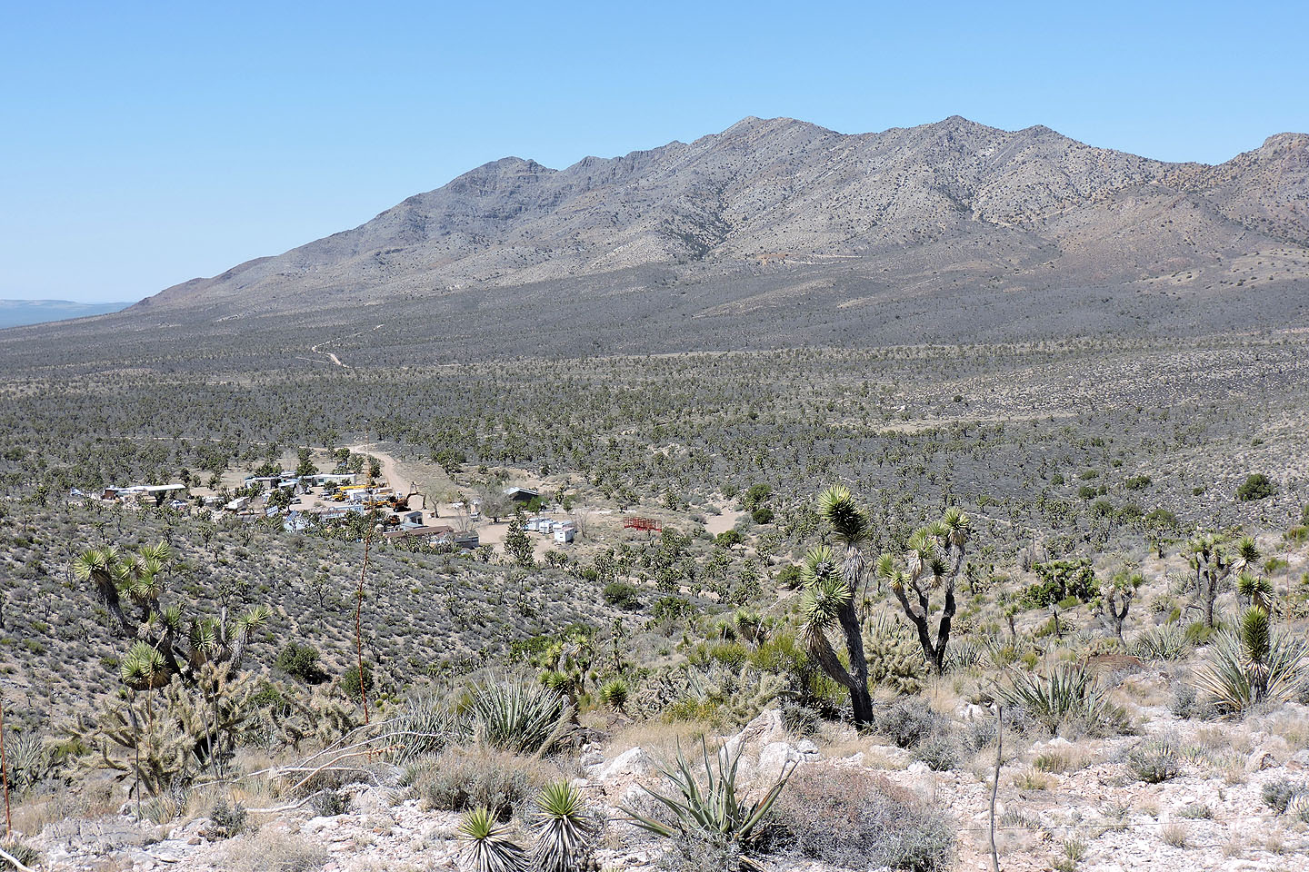
Mescal Mountain aka Mescal High Point. Below is the base camp for Kokoweef mine.
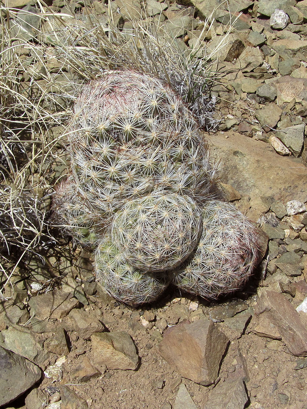
At six or seven inches high, this is the biggest pincushion cactus I've ever seen
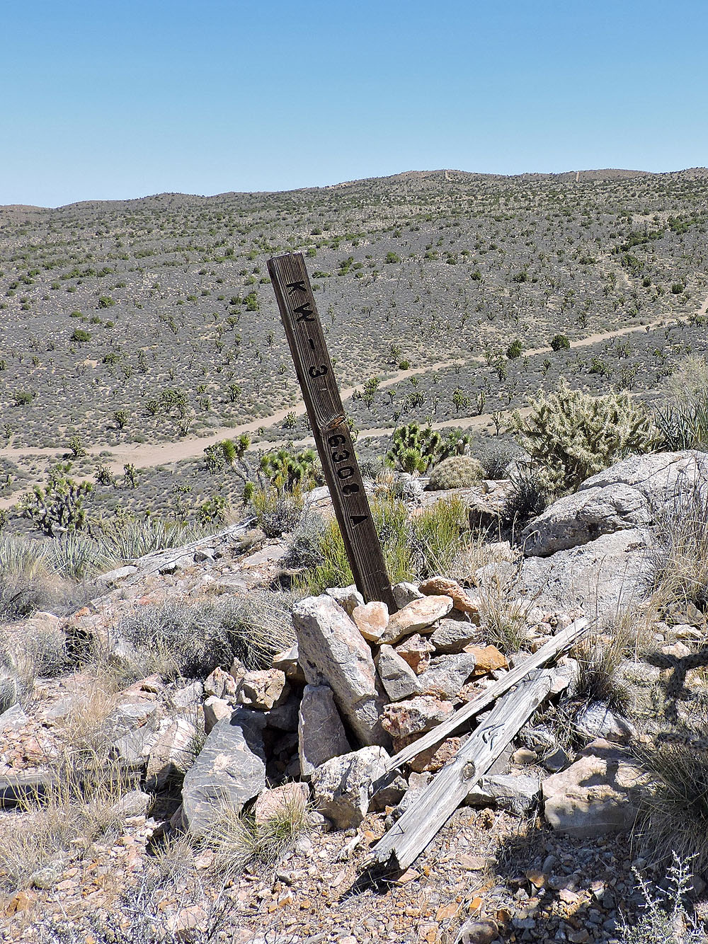
This post is probably a boundary marker for the mine
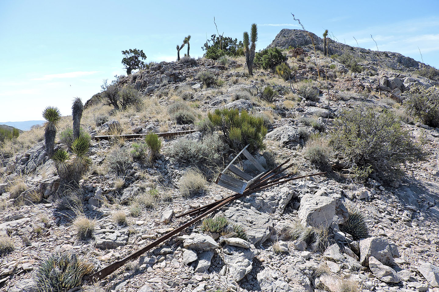
Debris on the lower slope
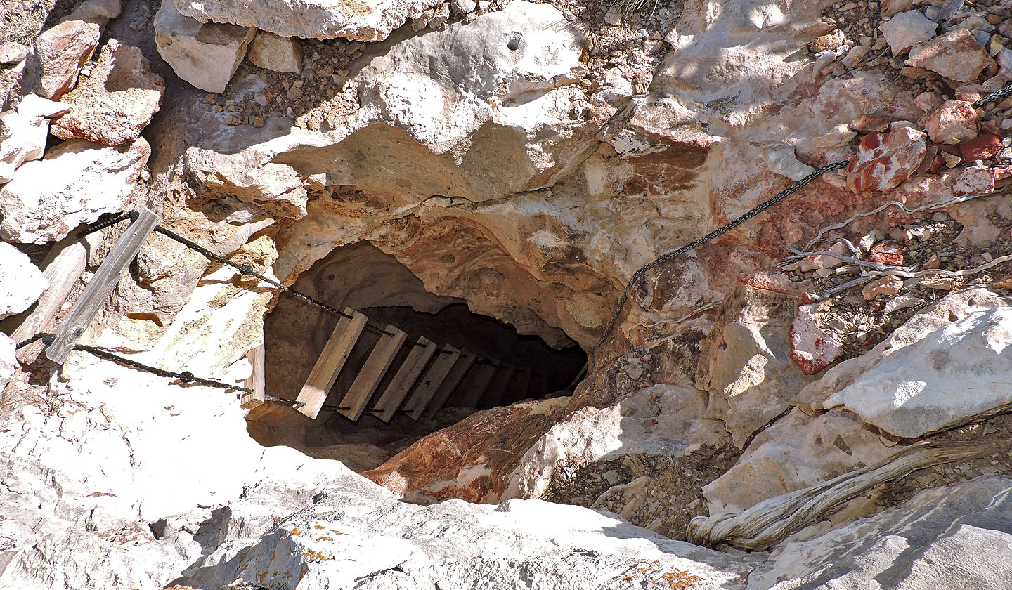
Ventilation shaft
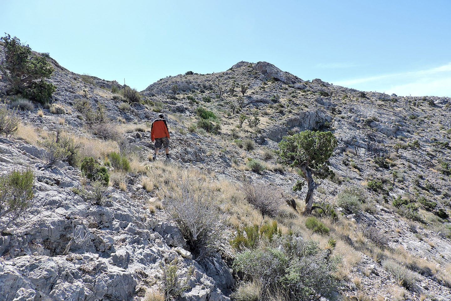
Heading to the false summit
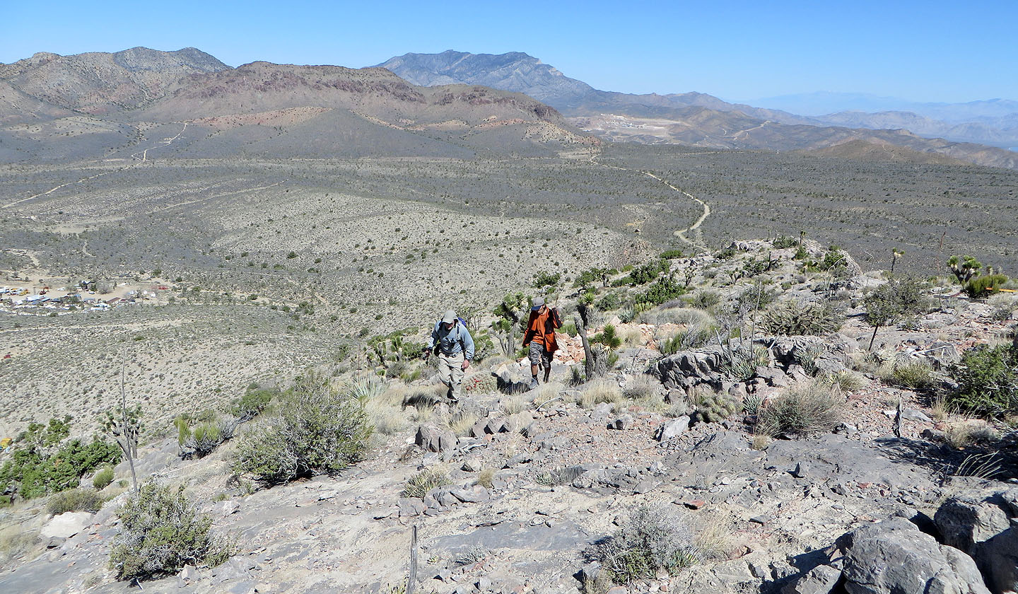
Far in the background behind us is Clark Mountain, the highest peak in the Mojave Desert
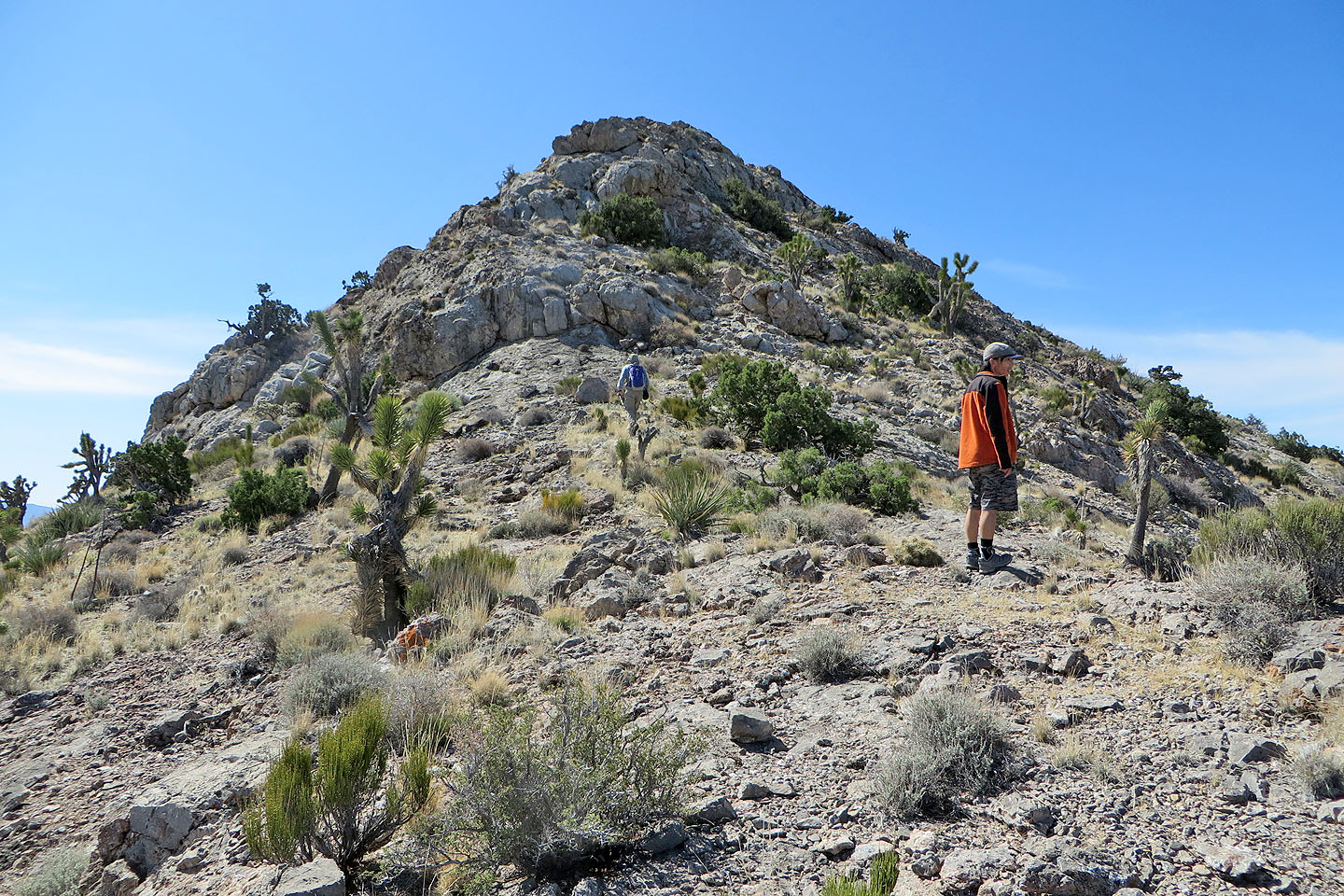
Nearing the false summit
We skirted the false summit on the right
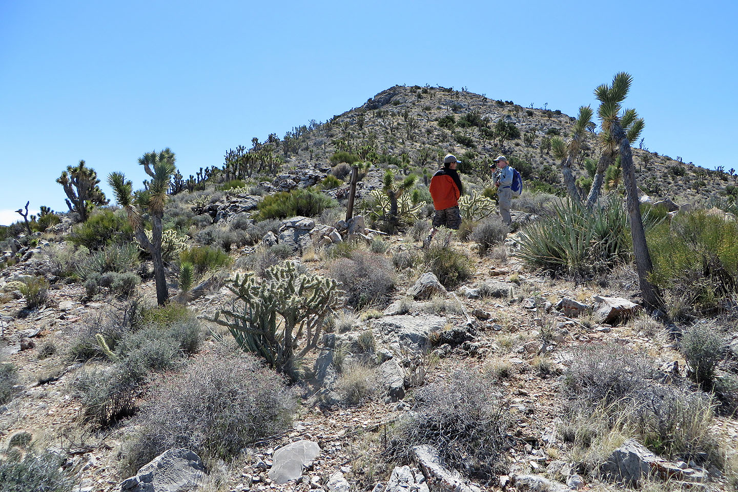
The true summit came into view
Almost there
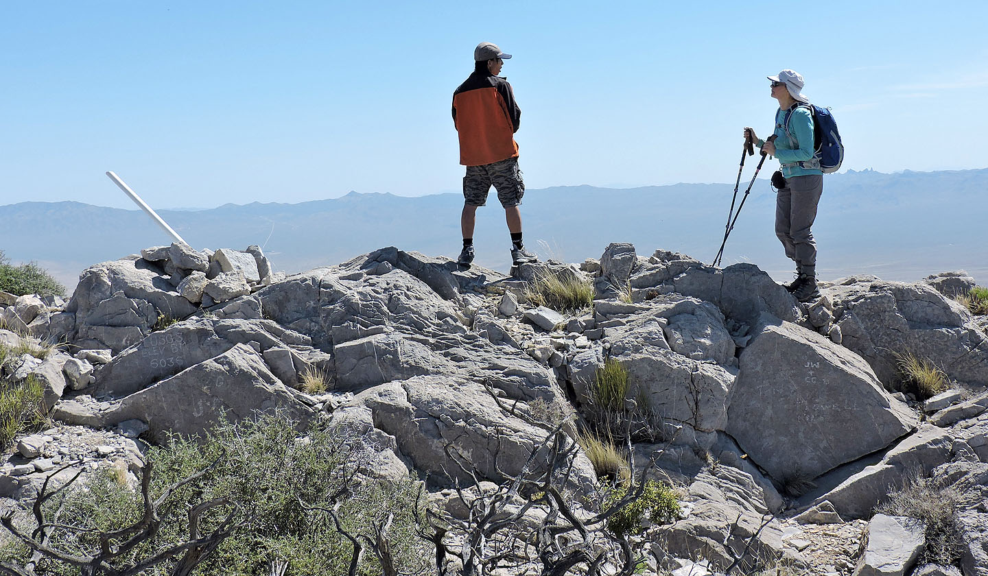
Shin and Dinah on the summit
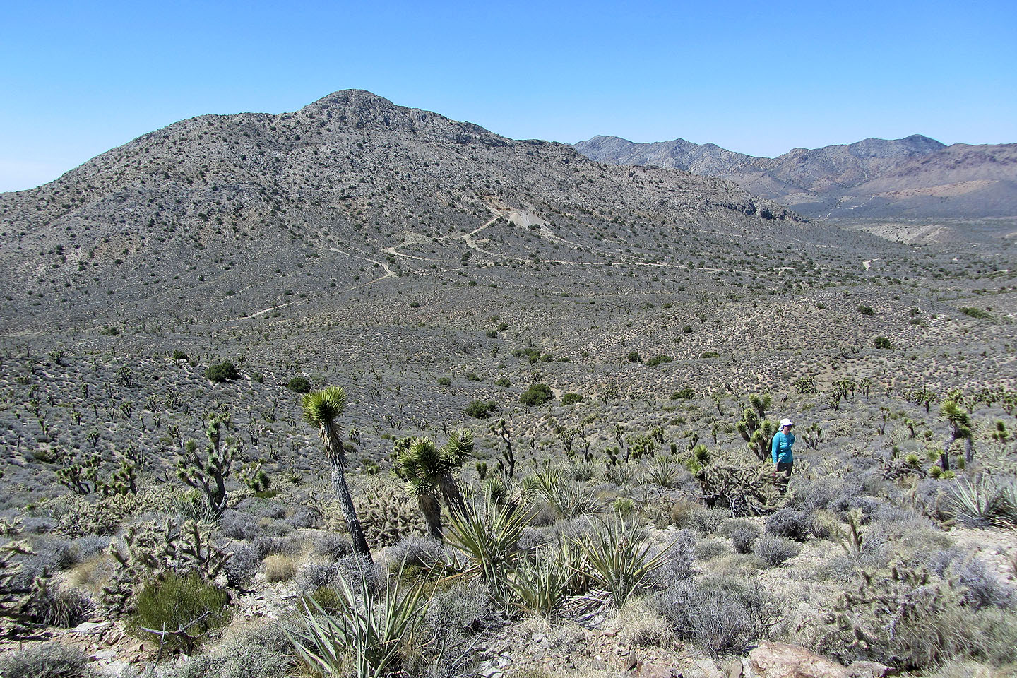
Our search for aircraft remains proved fruitless. Kokoweef Peak in the background.
Mineral Hill (1.4 mi, 6004 ft, 804 ft)