bobspirko.ca | Home | Canada Trips | US Trips | Hiking | Snowshoeing | MAP | About
Herman’s Peak
Coachella Valley Preserve, California
February 14, 2025
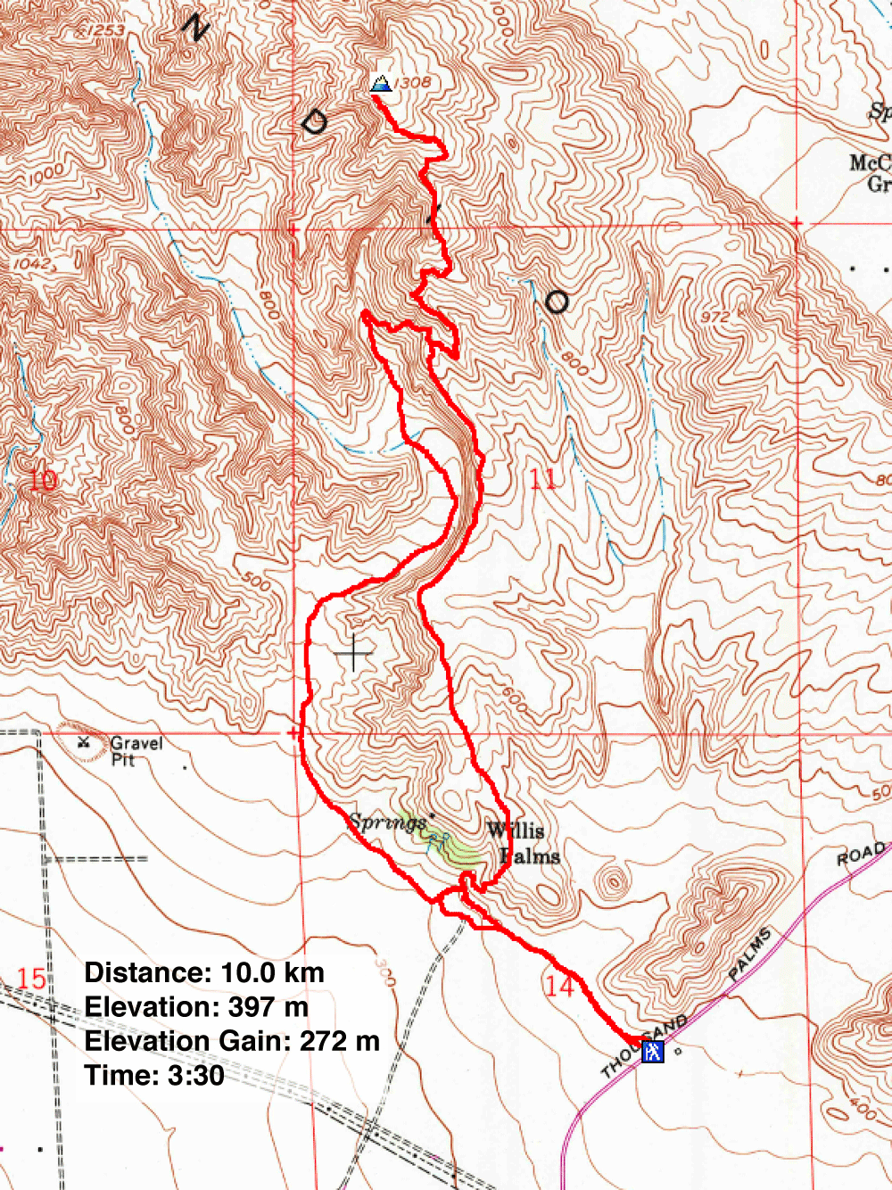
Distance: 10.0 km (6.2 mi)
Cumulative Elevation Gain: 310 m (1017 ft)
Herman's Peak is better known for the trail that traverses it: Herman's Hike Trail. Not wishing to traverse the peak which leaves hikers far from the trailhead, Dinah and I were content to reach the summit and turn around. Our hike included a loop: up a wash and down a ridge. Along with climbing a desert peak, we relished hiking through Willis Palms Oasis near the start. I can't imagine visiting Palm Springs without seeing a palm forest.
We attempted Herman's Peak three days earlier, but the wind was too strong. It shook our parked car and made it difficult to open the doors. After taking a few steps, we turned back. We learned later that the wind exceeded 80 kph. We returned when the wind was less severe.
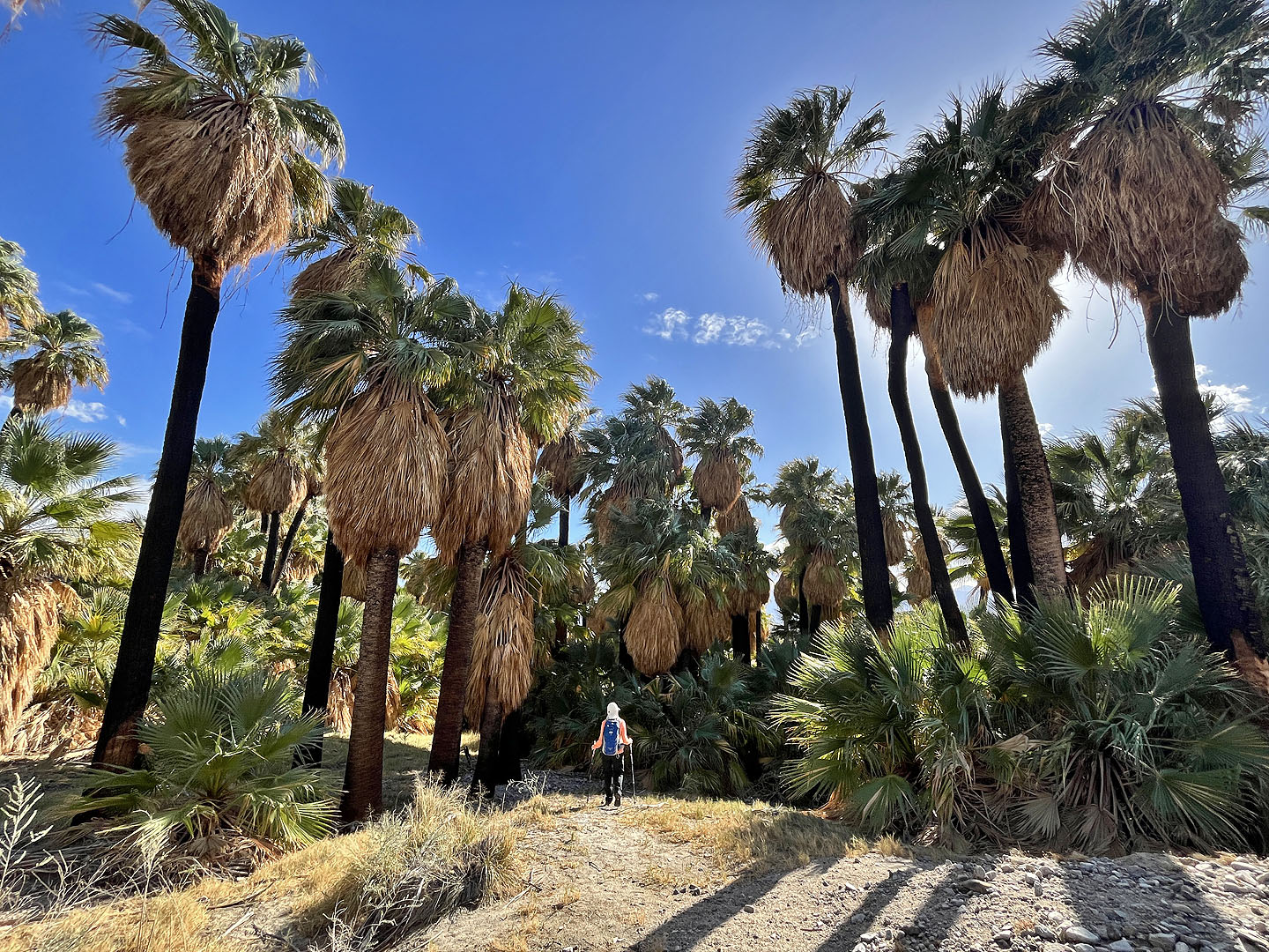
From the trailhead on Thousand Palms Canyon Road, we started walking up the trail which uses a wash. Willis Palms Oasis soon came into view. We could've stayed in the wash, but we wanted to explore the palm forest. We followed a trail through the California fan palms, but yesterday's rain left the trail muddy and slick, and we soon returned to the wash.
We continued up the sandy wash as it hugged a slope on the right. 2 km from the oasis, the wash, now very broad, split and we kept right. After trudging another 500 m, we found the trail that climbs the ridge. We stopped as half a dozen hikers came down.
We were waiting at the bottom for the hikers to clear the narrow path when something unusual happened. A woman peeled off from the group and approached us. She wanted to know if we had any sugar, perhaps some chocolate. She was diabetic and was suffering from low blood sugar. When I pulled out a chocolate protein bar, her eyes lit up! She gratefully accepted the bar. The group continued down the wash, while we started up the trail.
After a short climb, we reached the ridgeline trail and turned left. We followed the winding trail 1.5 km to the summit. The wind hadn't been bad until we reached the top, but here it was fierce. We took a few photos and retreated down.
We followed the long, gentle south ridge. With far-reaching views in front of us, we appreciated doing the loop clockwise. Near the end of the ridge, the trail drops into the palms oasis. We enjoyed seeing the trees once more before finishing the hike.
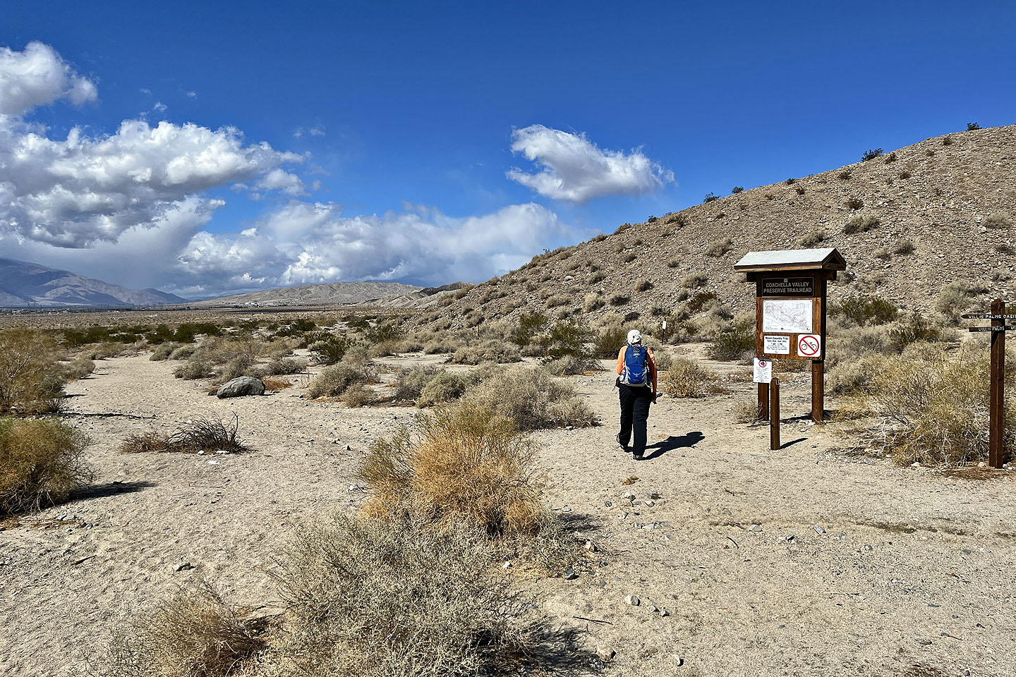 The trailhead is on Thousand Palms Canyon Road
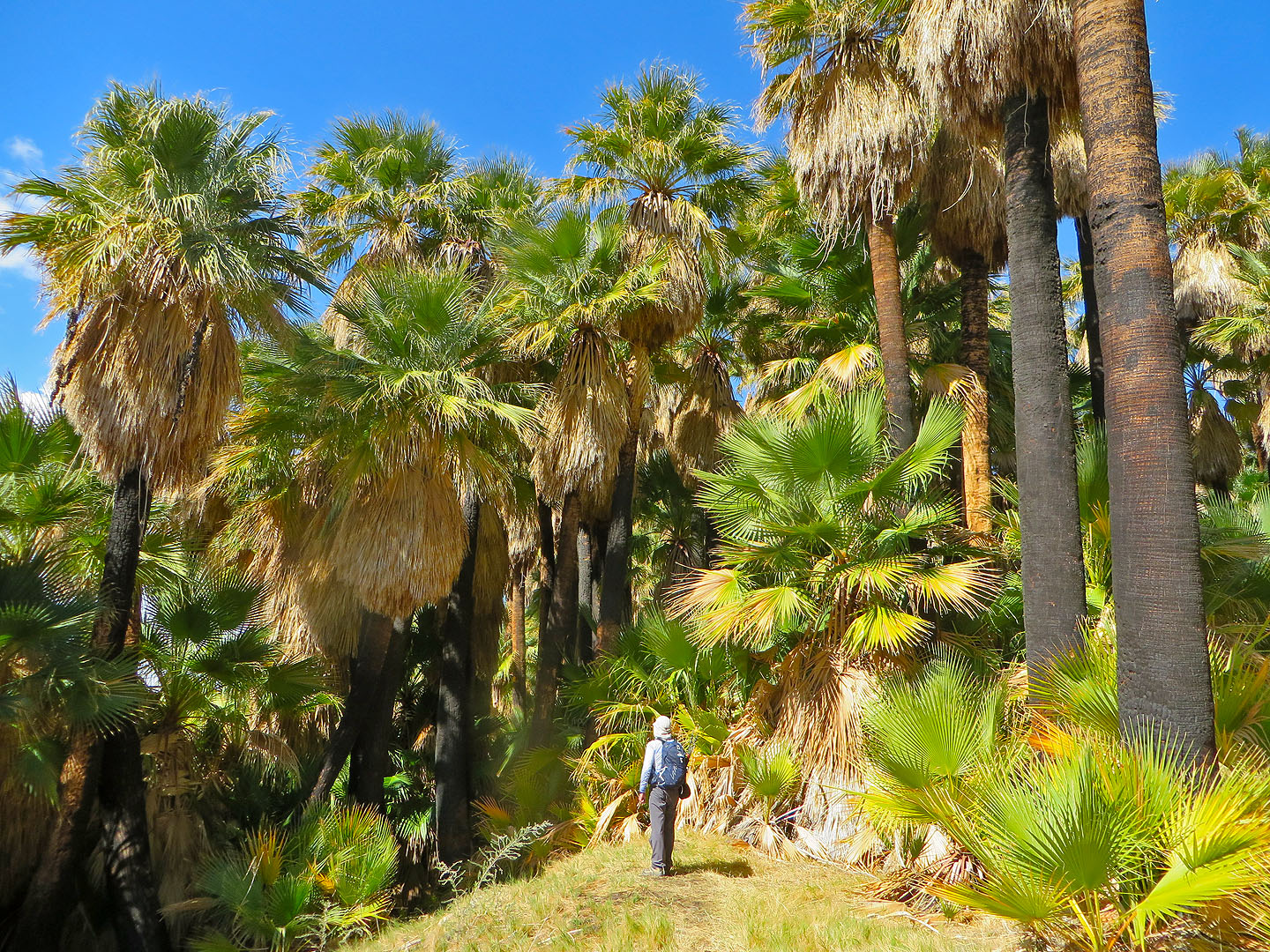
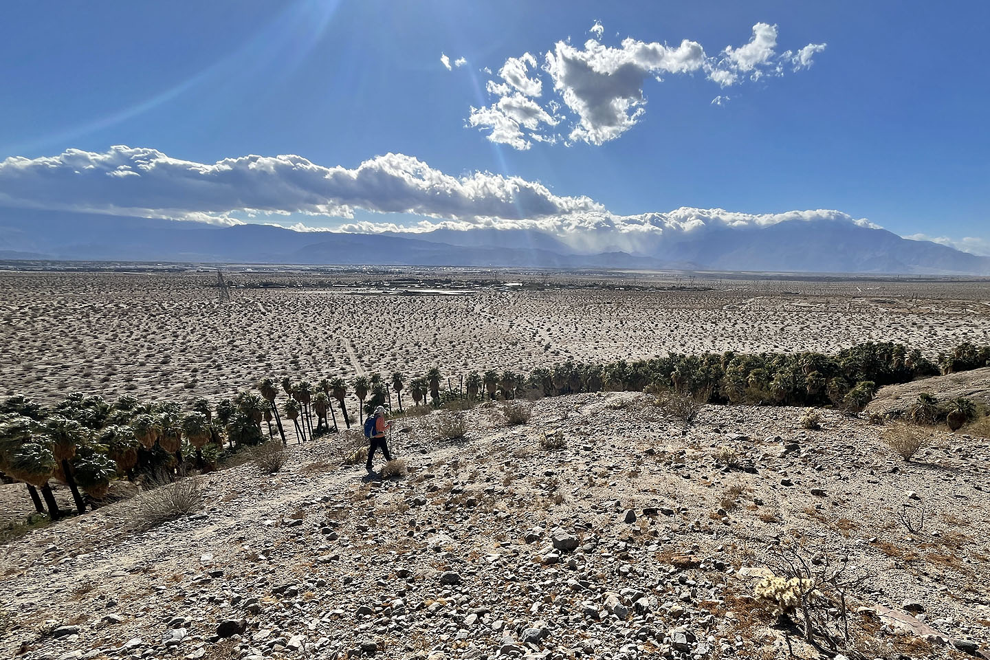
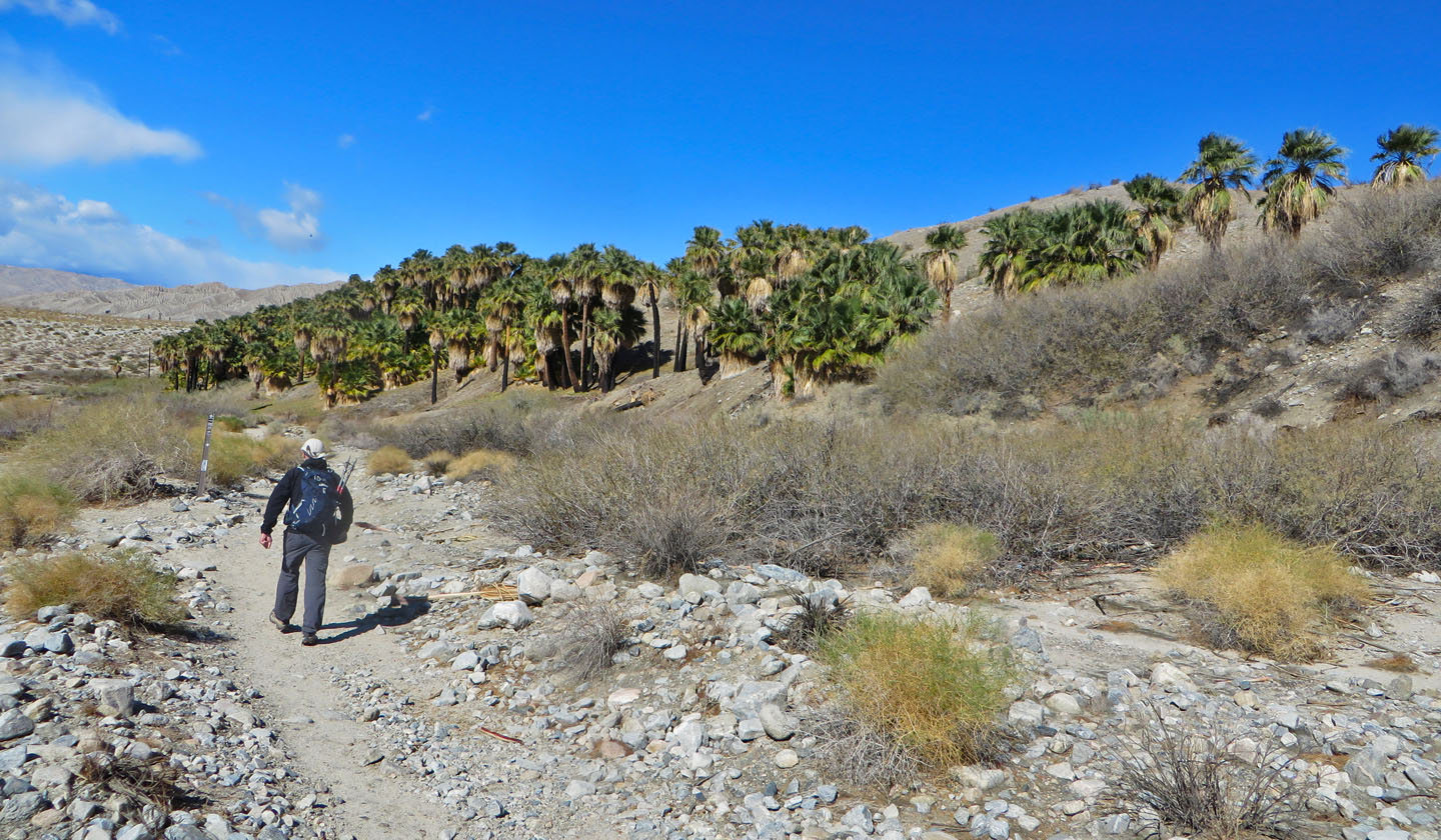 Coming up to Willis Palms Oasis
We could have stayed low and avoided the palms, but we passed through them
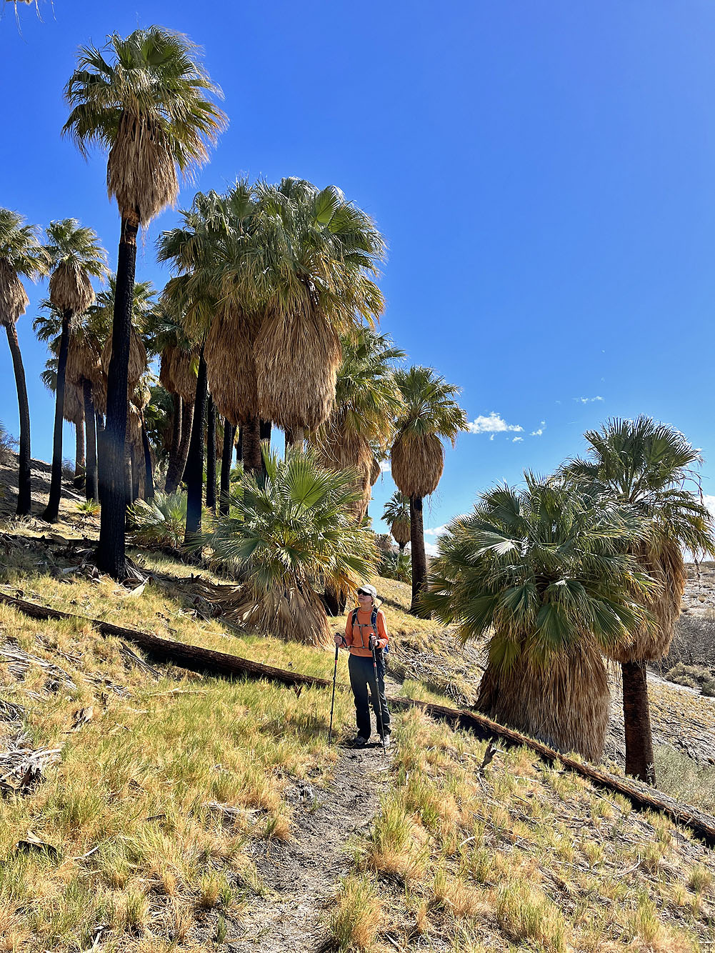
 We followed a path through the palms
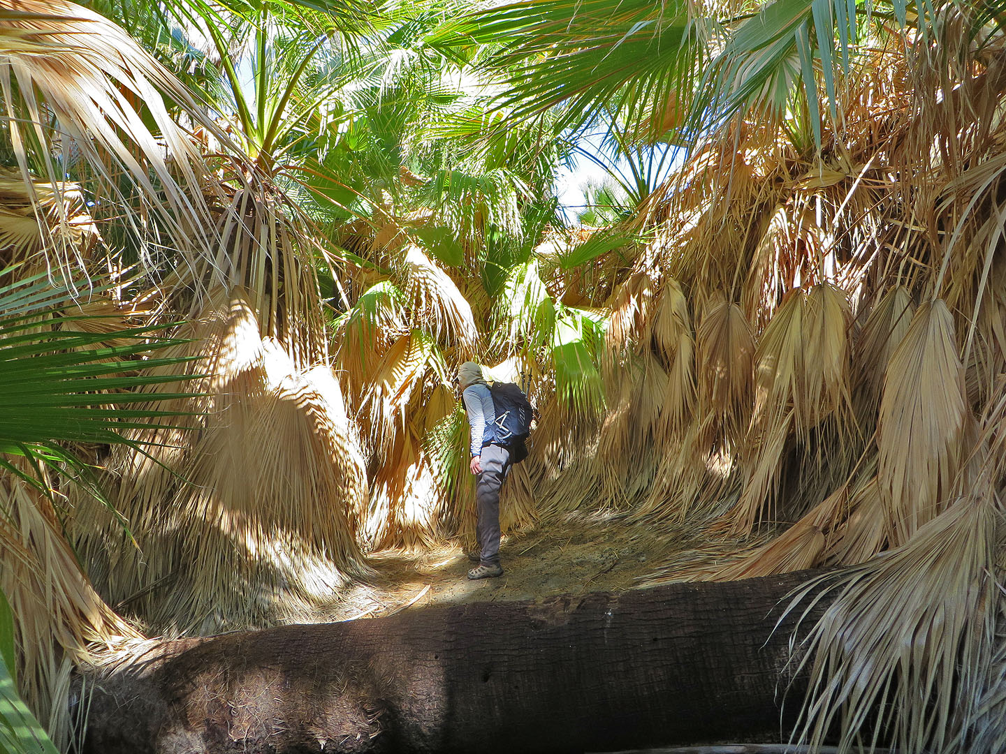 We made our way through the forest, dense at times
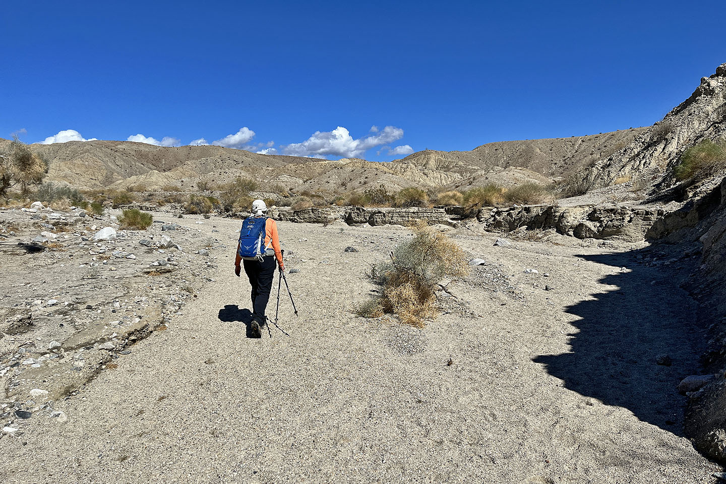
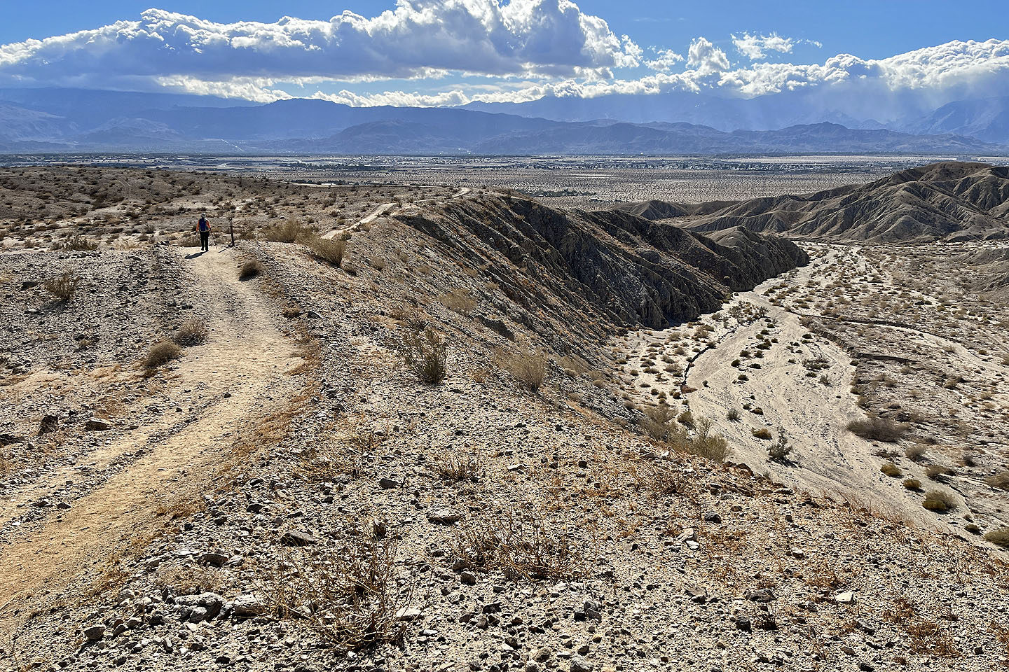
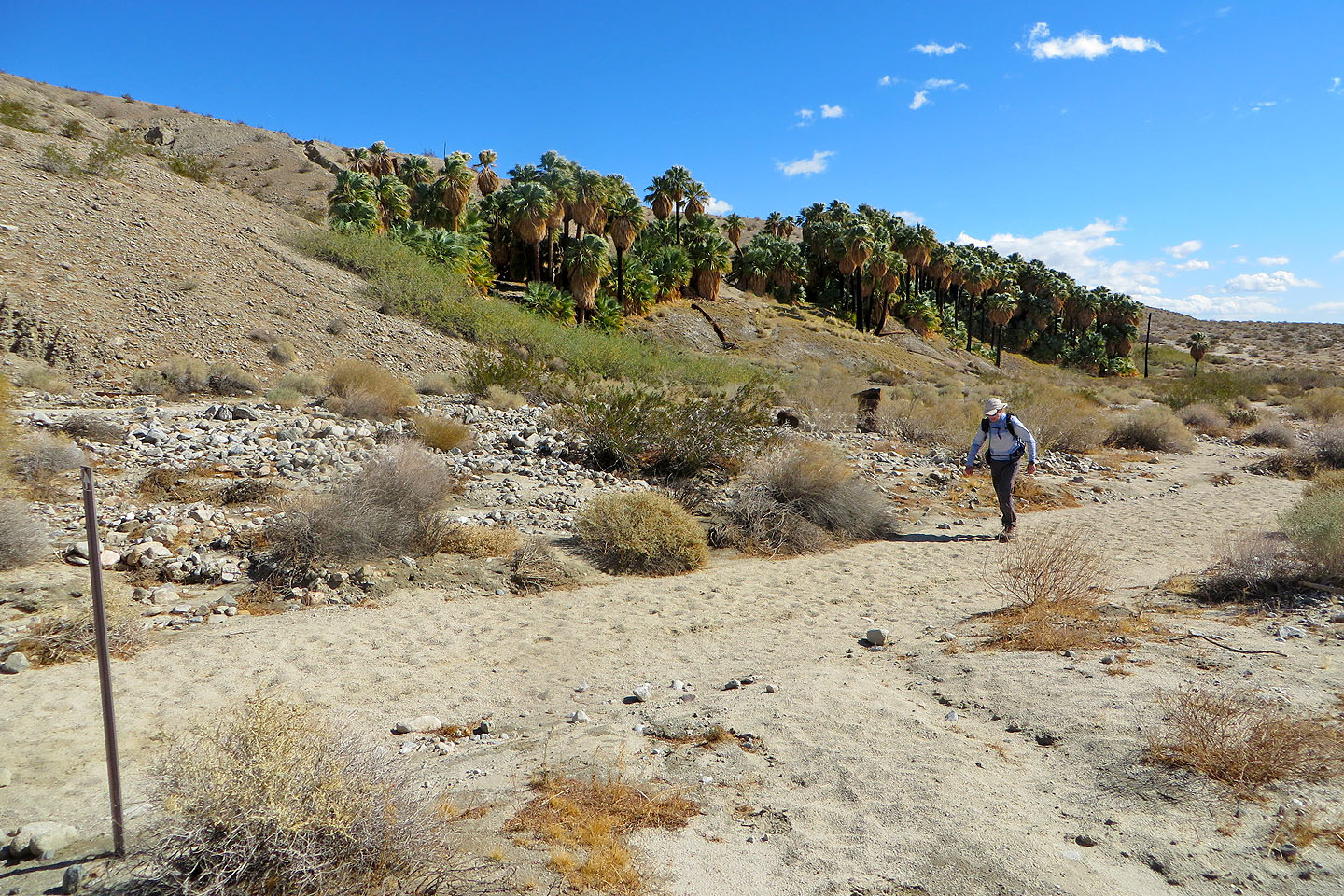 Back on the main trail
 We passed a strange yellow hill
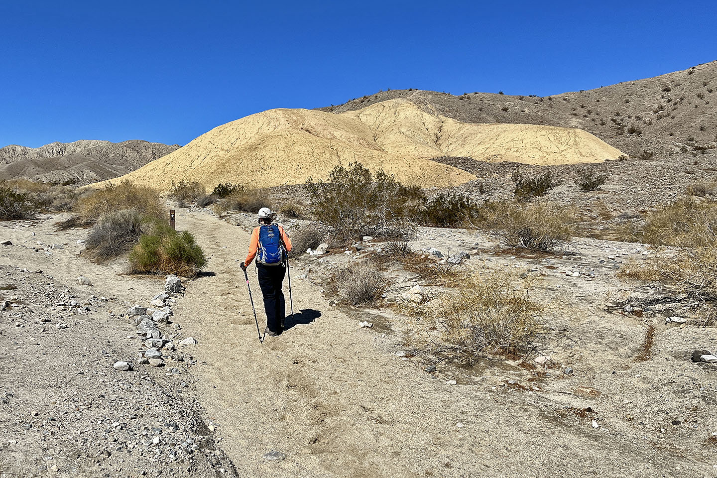
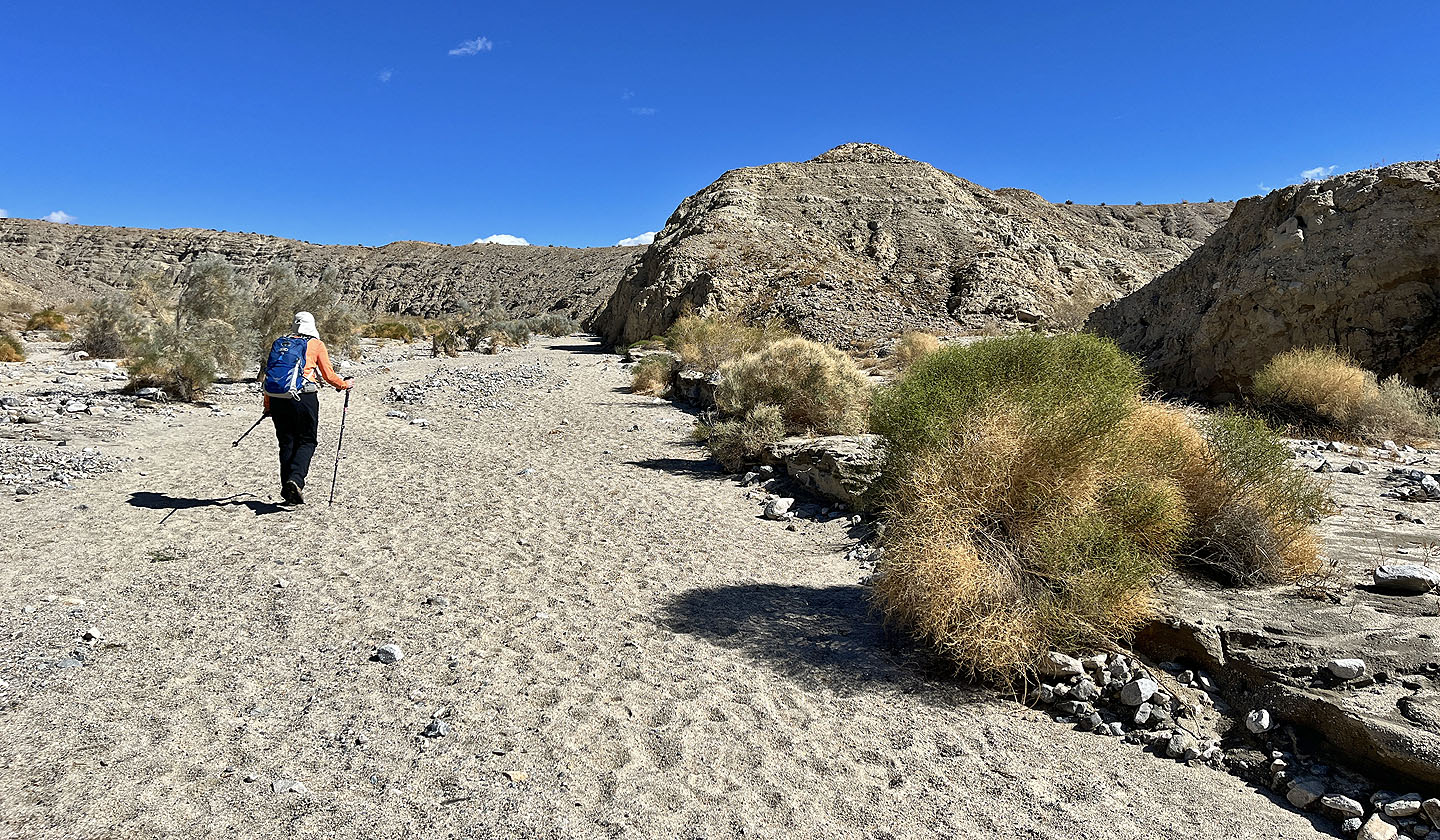
 We continued up the wash. Herman's Peak is not yet in sight.
 The ridge ahead leads to Herman's Peak
 Herman's Peak appears in the centre
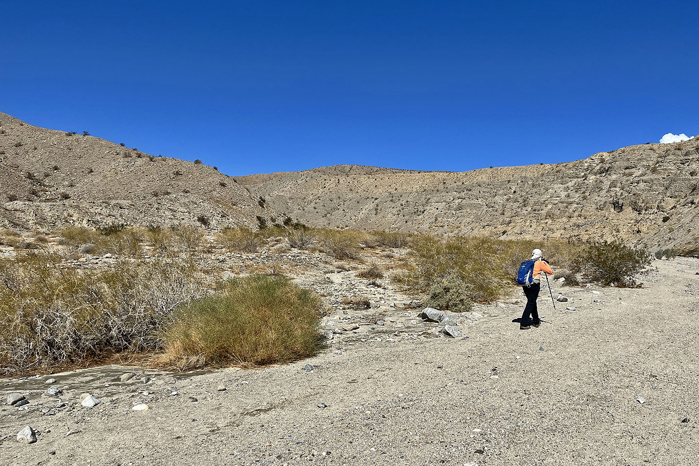
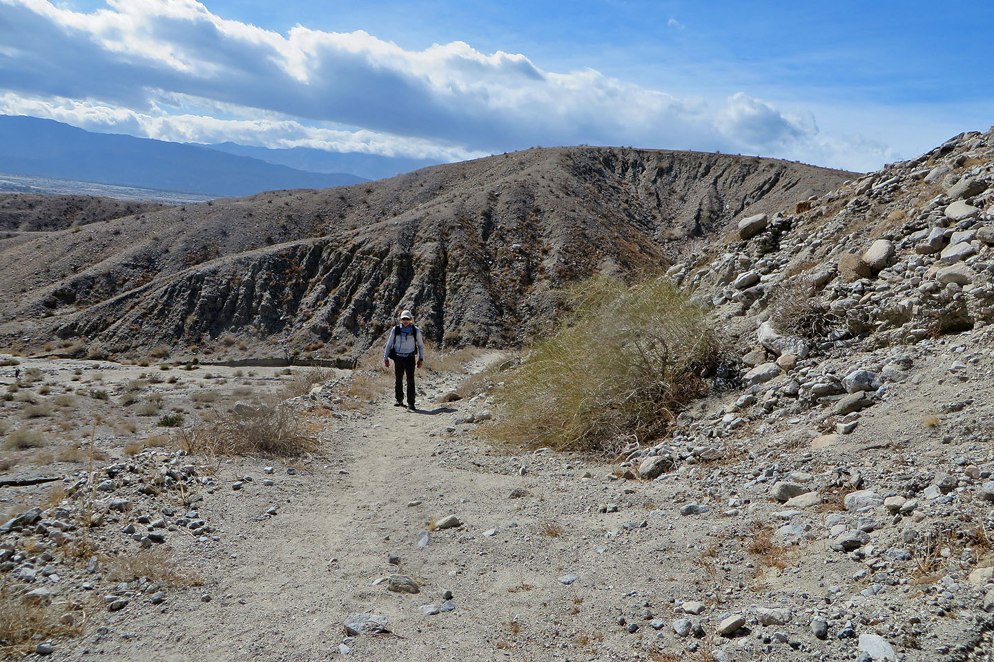
 A trail runs from the wash to the ridge
 Looking back as we hiked up the trail
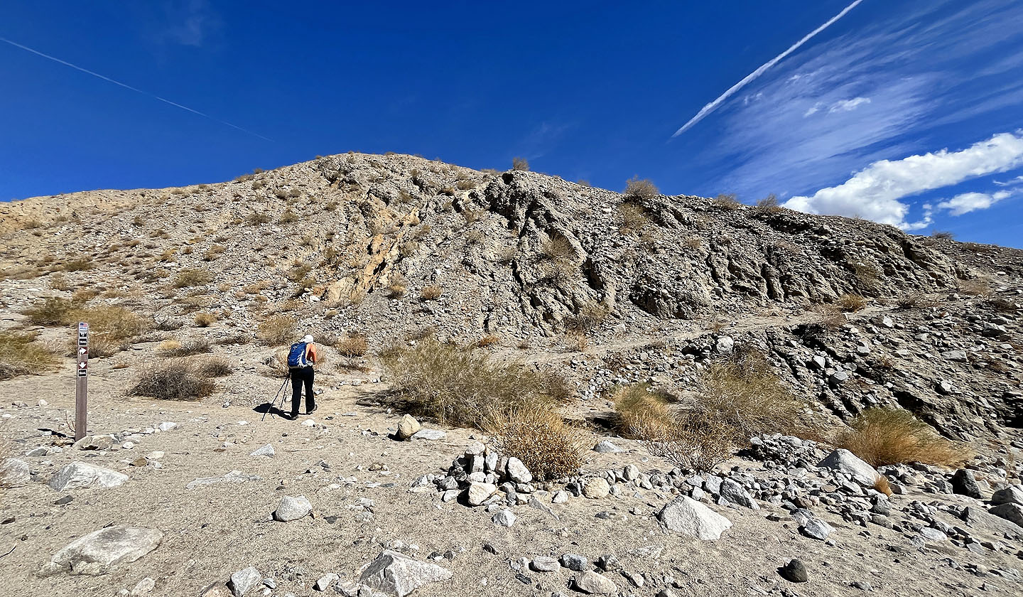
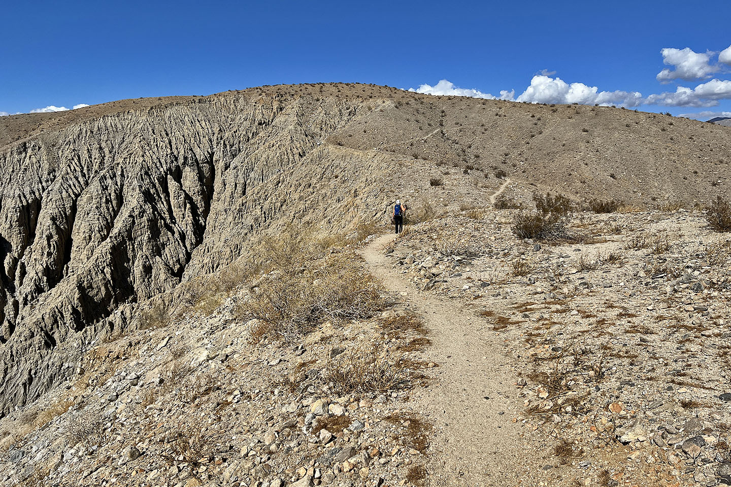
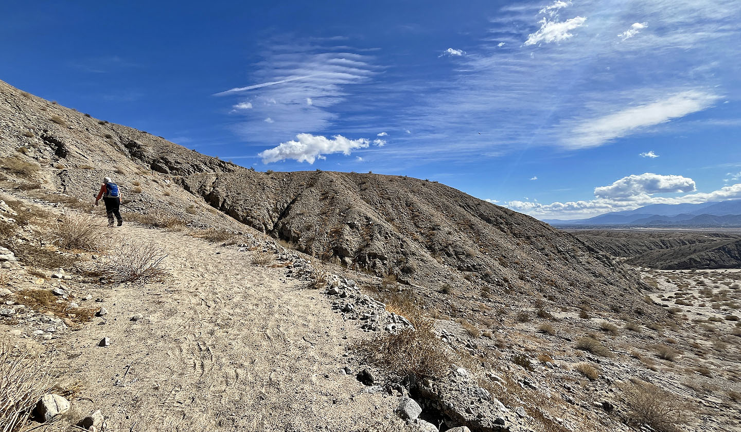 The trail winds up the slope to the ridge
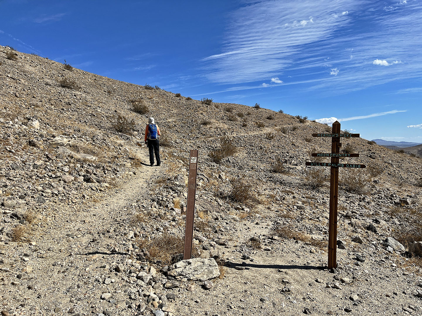 The trail intersects the ridge trail where we turned left
 Looking back, a cloud hangs over Mount San Jacinto (mouse over for a close-up)
 The summit is ahead
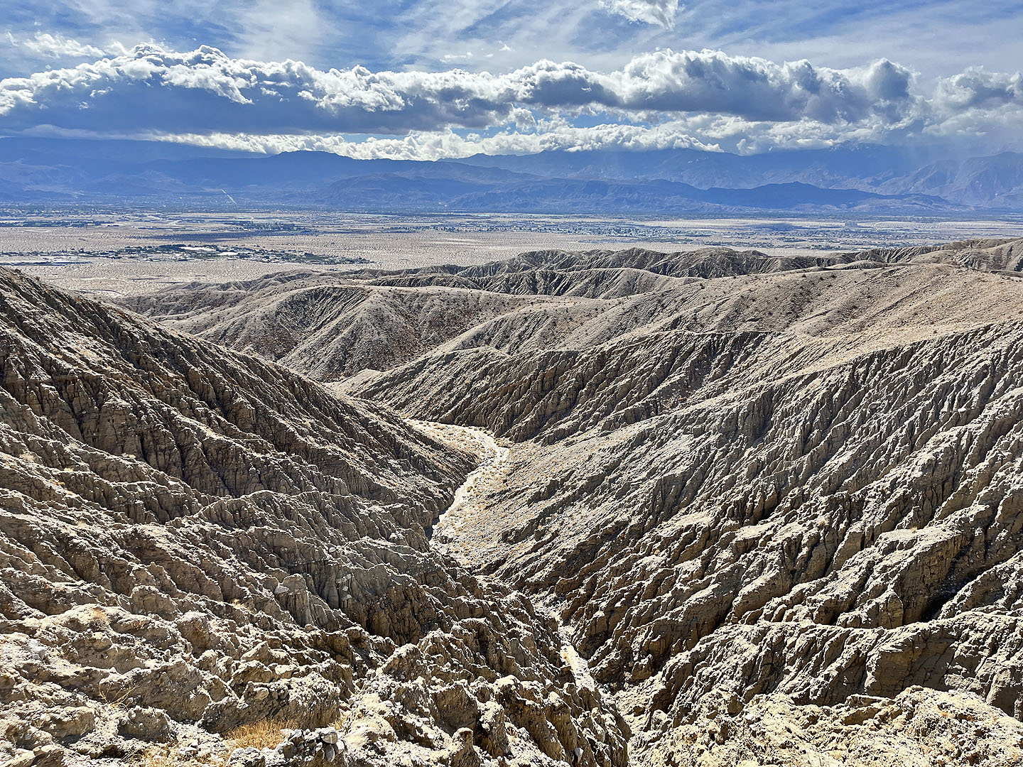 Looking down the rugged west slope
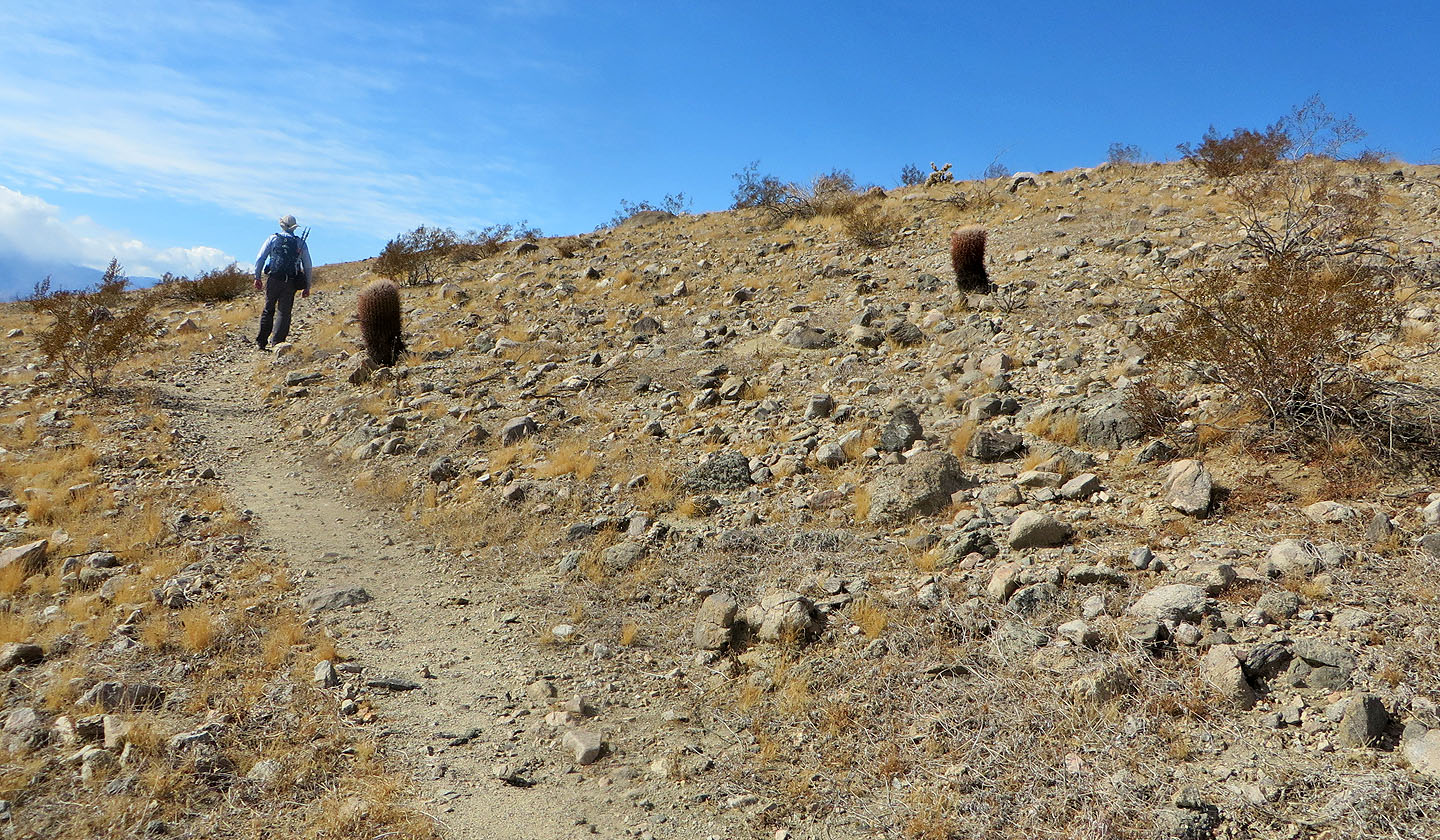 We passed a couple of barrel cacti just below the summit
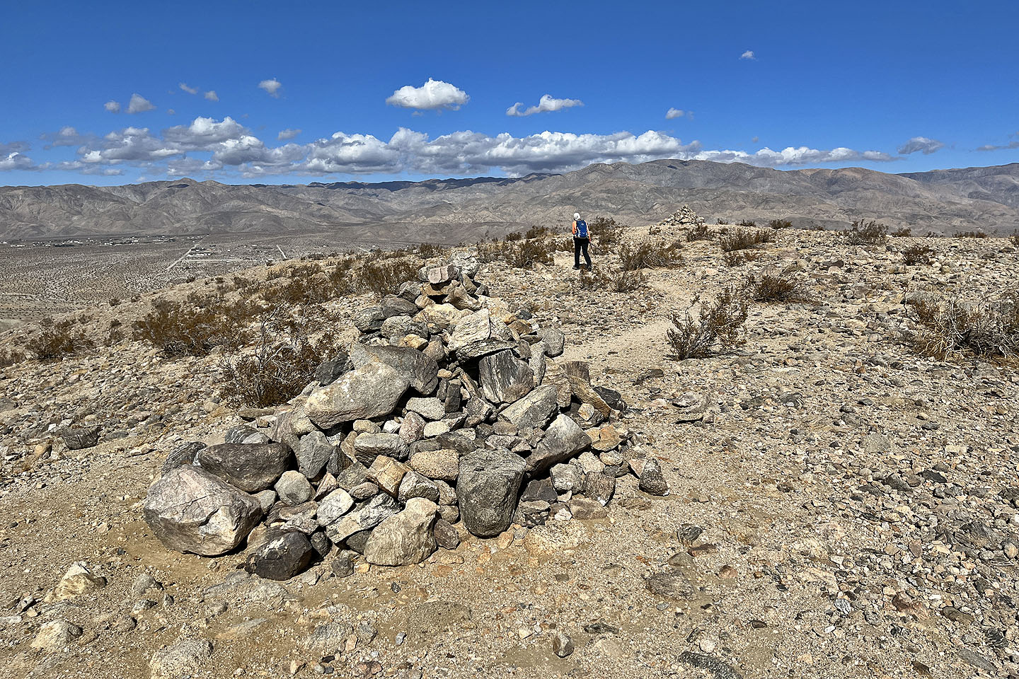 Two enormous cairns sit on the top
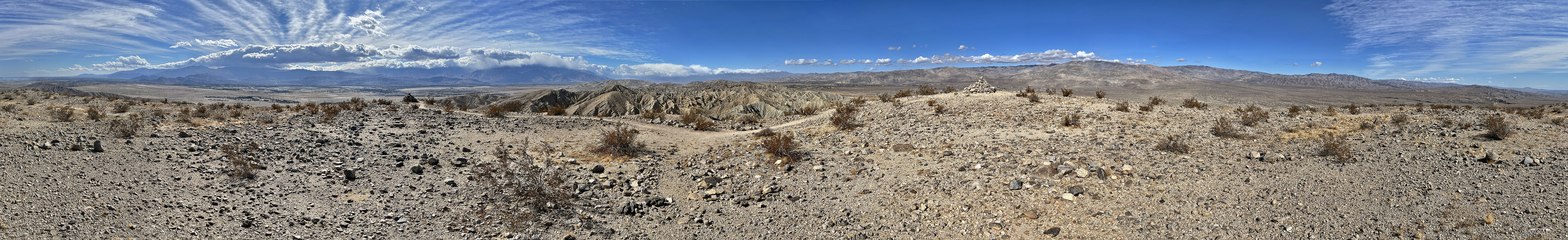
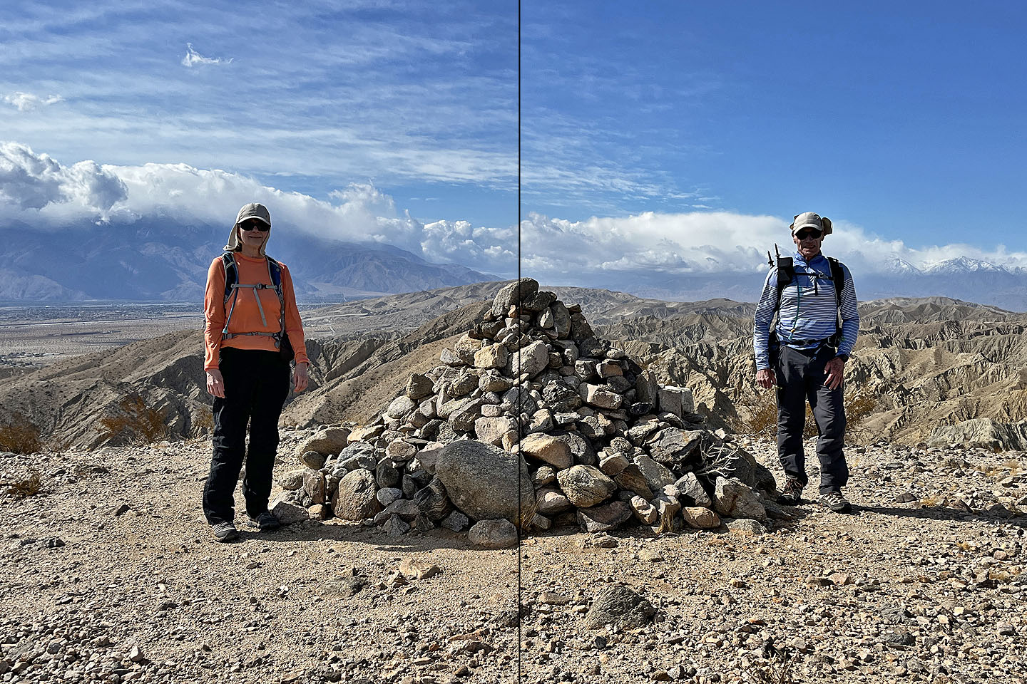 Too windy for a camera on a tripod, we took photos of each other and put them together
 Heading back down
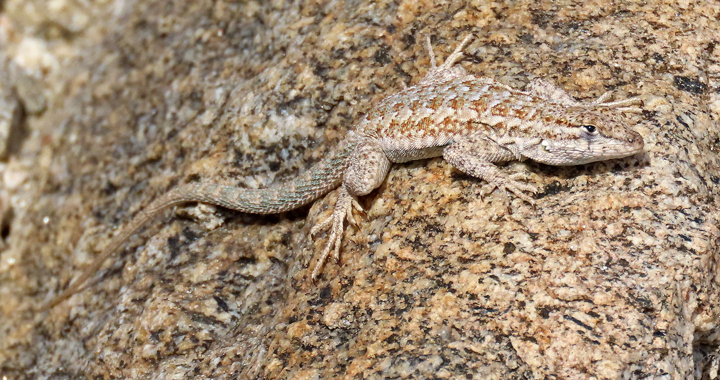 A lizard lies camouflaged against a rock
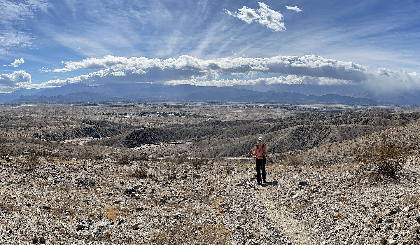
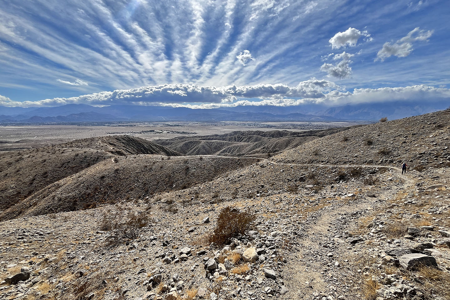
 We followed the south ridge back. Below is the wash we came up.
 Returning to Willis Palms Oasis
 Going through the palm trees once more
Myoma (6.2 mi, 1302 ft, 892 ft)