bobspirko.ca | Home | Canada Trips | US Trips | Hiking | Snowshoeing | MAP | About
Panorama from Mount Perry
Dantes Peak and Mount Perry
Death Valley, California
November 15, 2011
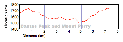
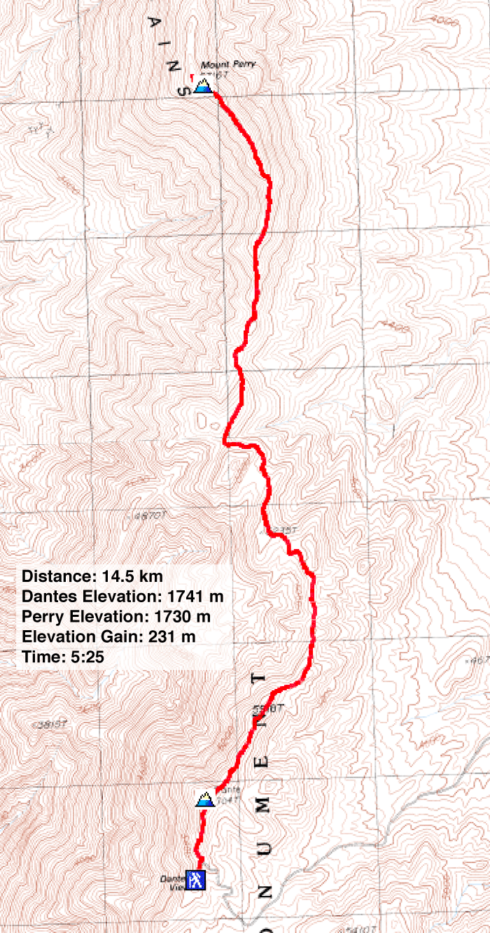
Distance: 14.5 km (9.0 mi)
Cumulative Elevation Gain: 589 m (1932 ft)
Dinah wanted to hike Dantes Peak and Mount Perry largely as an excuse to return to Death Valley, and at this time of the year, it worked out well. That day, we enjoyed much warmer weather there than in Las Vegas.
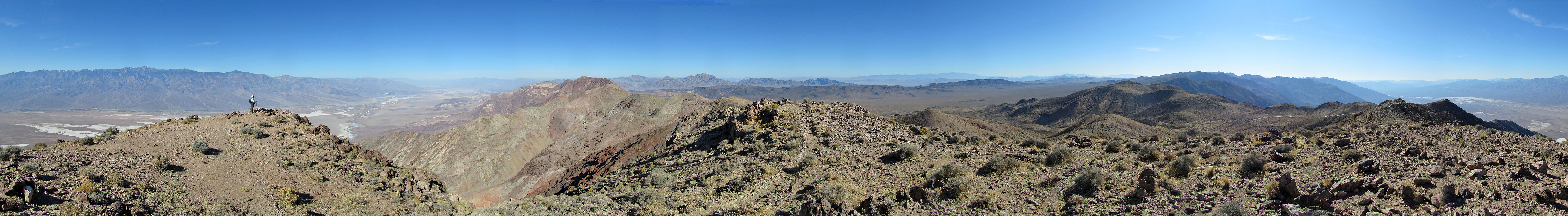
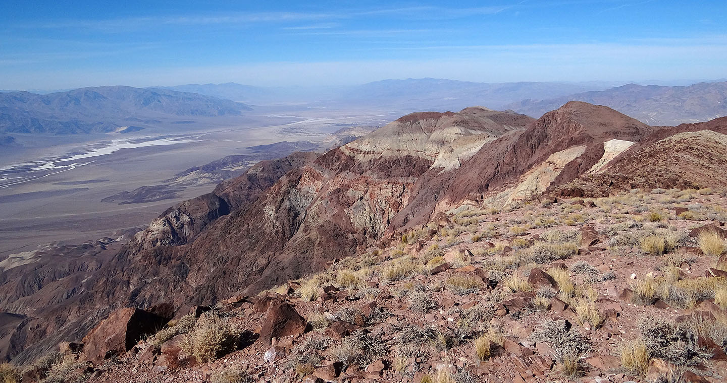
The route is utterly straightforward. Starting from Dantes Viewpoint parking lot, we hiked up Dantes Peak (a ten-minute trip) and then followed the ridge north to Mount Perry. Good trails aided our journey most of the way, but the 200 m elevation loss between the two peaks was disheartening. However, the trip was worth the views of Death Valley, especially of Telescope Peak (3454 m, the highest point in Death Valley) which rises above Badwater Basin, lying 282 m below sea level, the lowest point in North America.
Looking down at Badwater Basin from Dantes trailhead
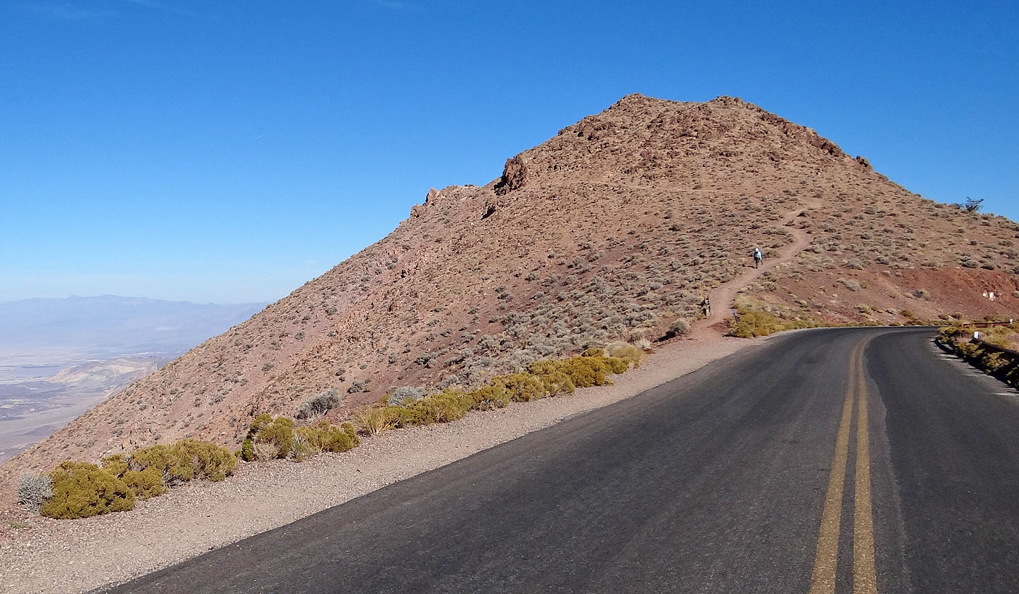
A broad trail leads to the summit of Dantes Peak
Hiking up the trail
Dantes summit ahead
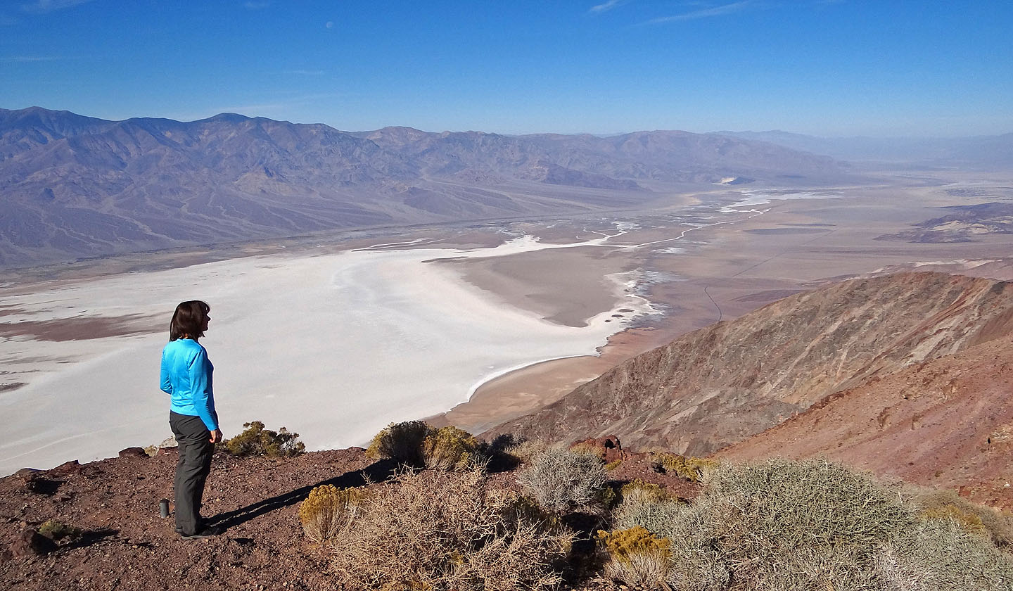
Panorama from Dantes Peak
Off to Mount Perry, the red hill on the left
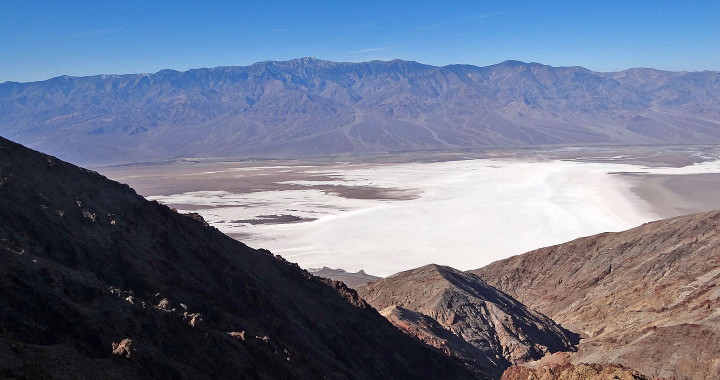
Badwater Basin and Telescope Peak (mouse over to zoom in)
Looking back at Dantes Peak on the right
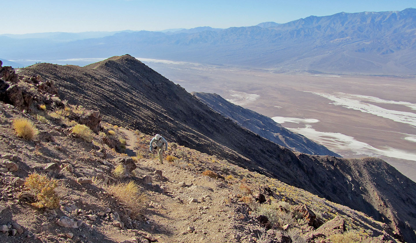
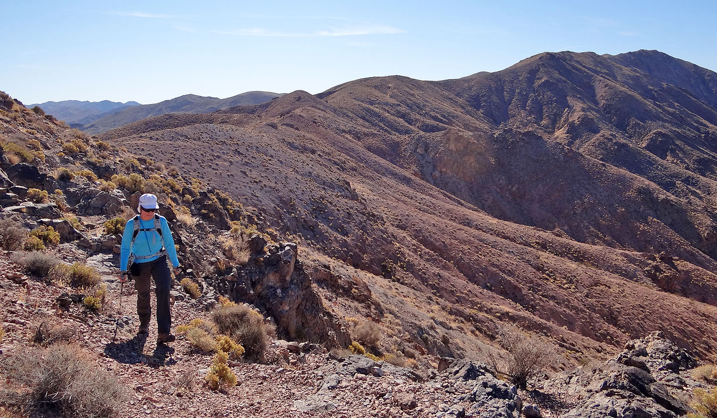
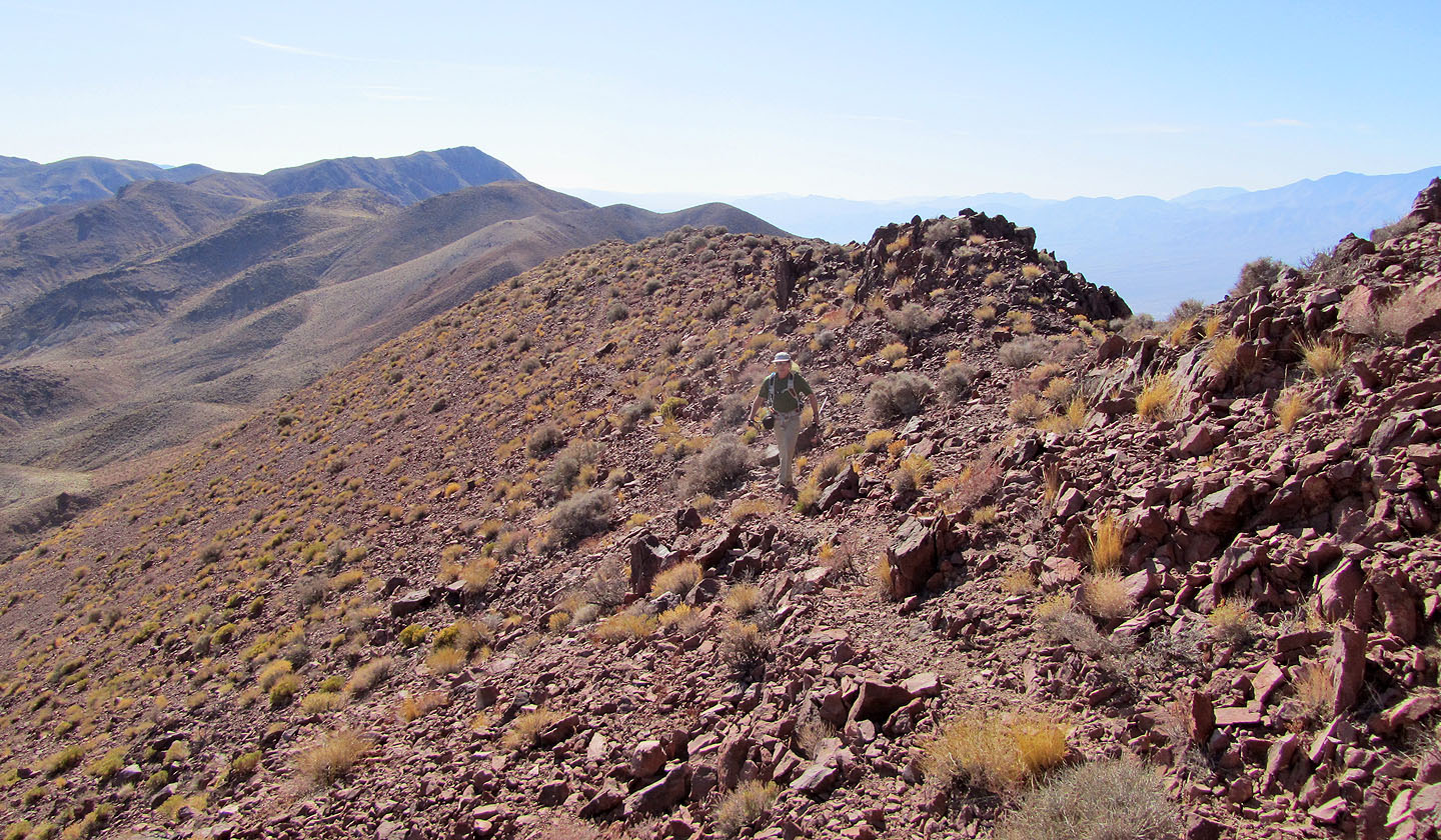
Still losing elevation
Approaching the red rocks of Mount Perry
Colourful landscape
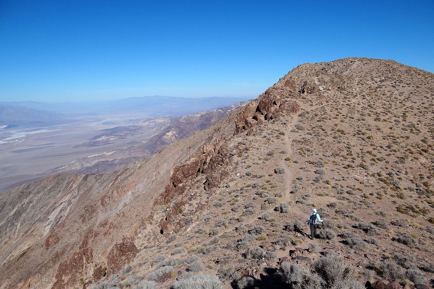
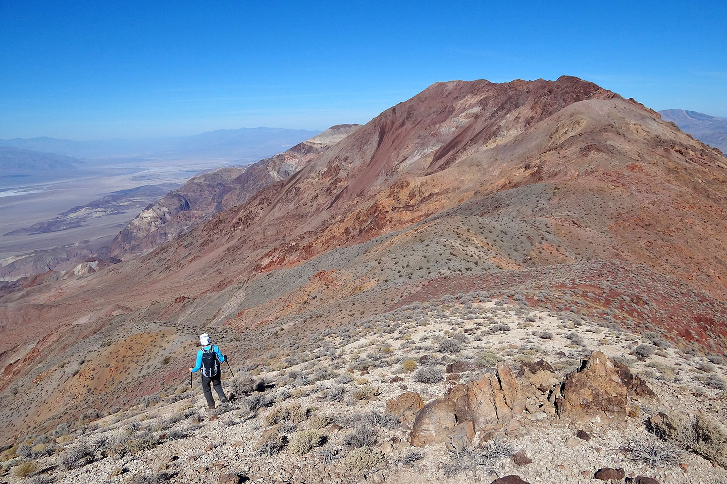
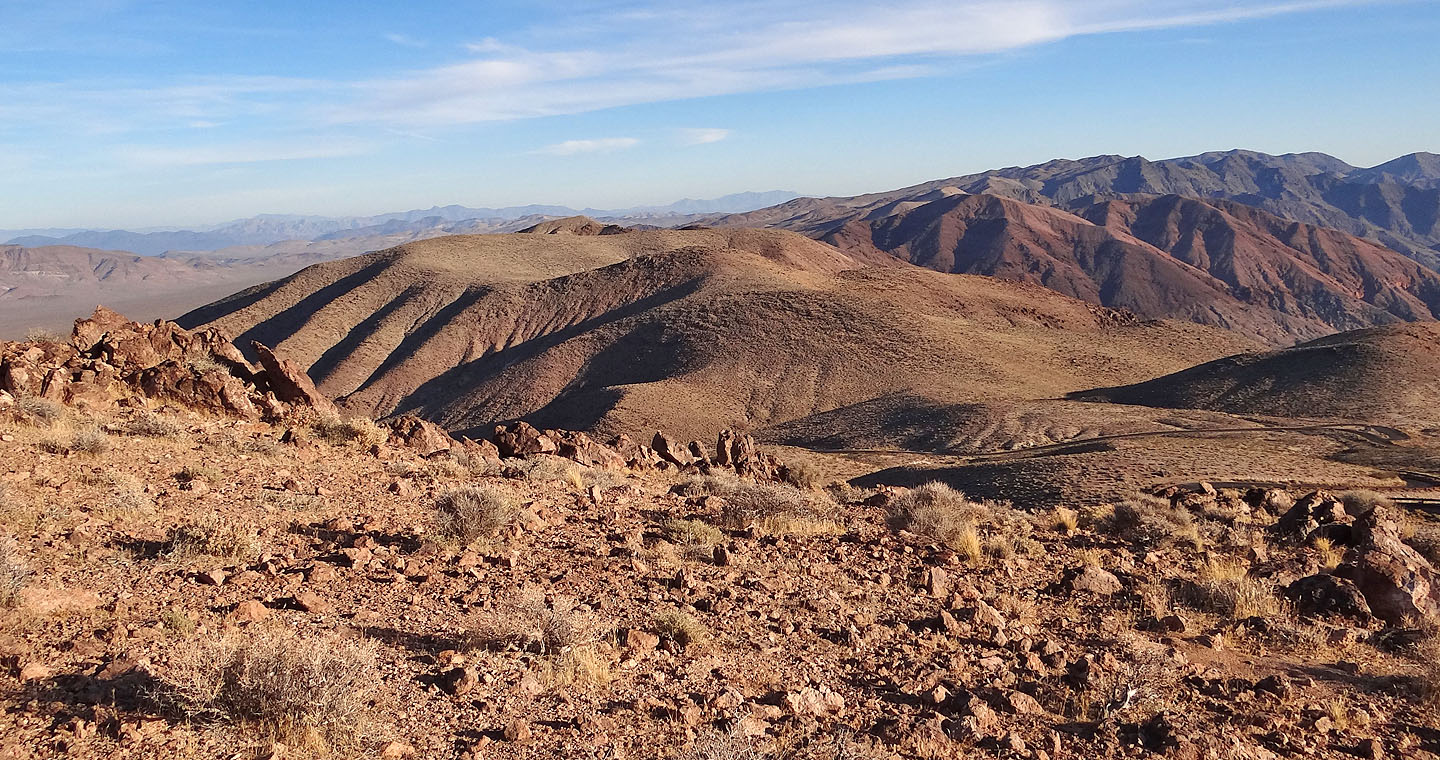
Looking back along the ridge all the way to Dantes Peak
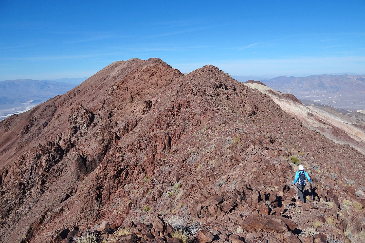
The summit is the second bump from the left
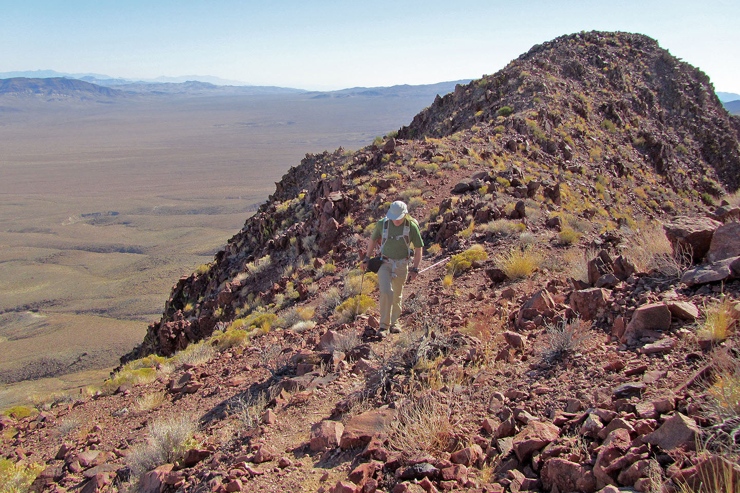
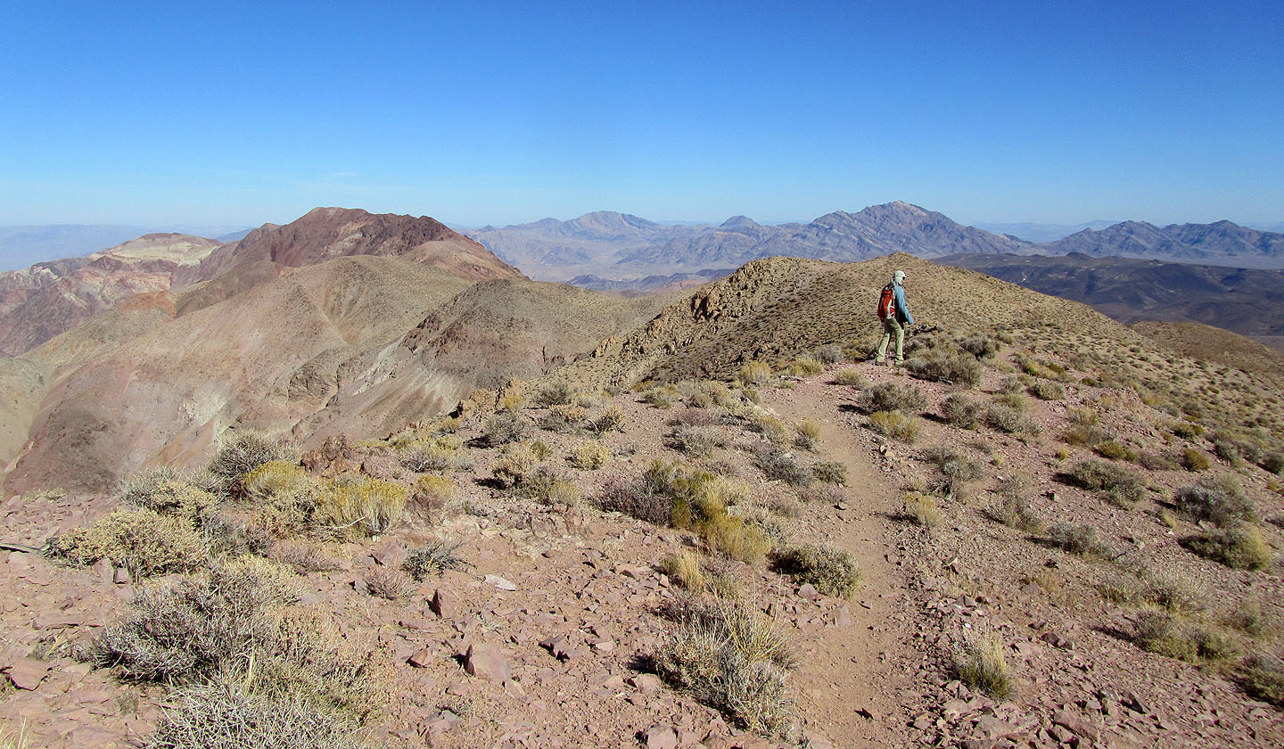
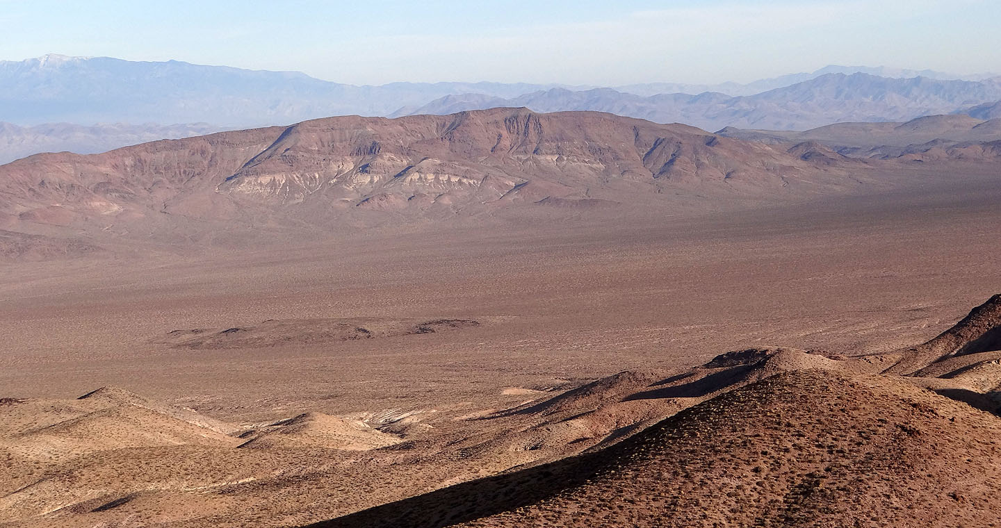
Flat expansive desert behind me
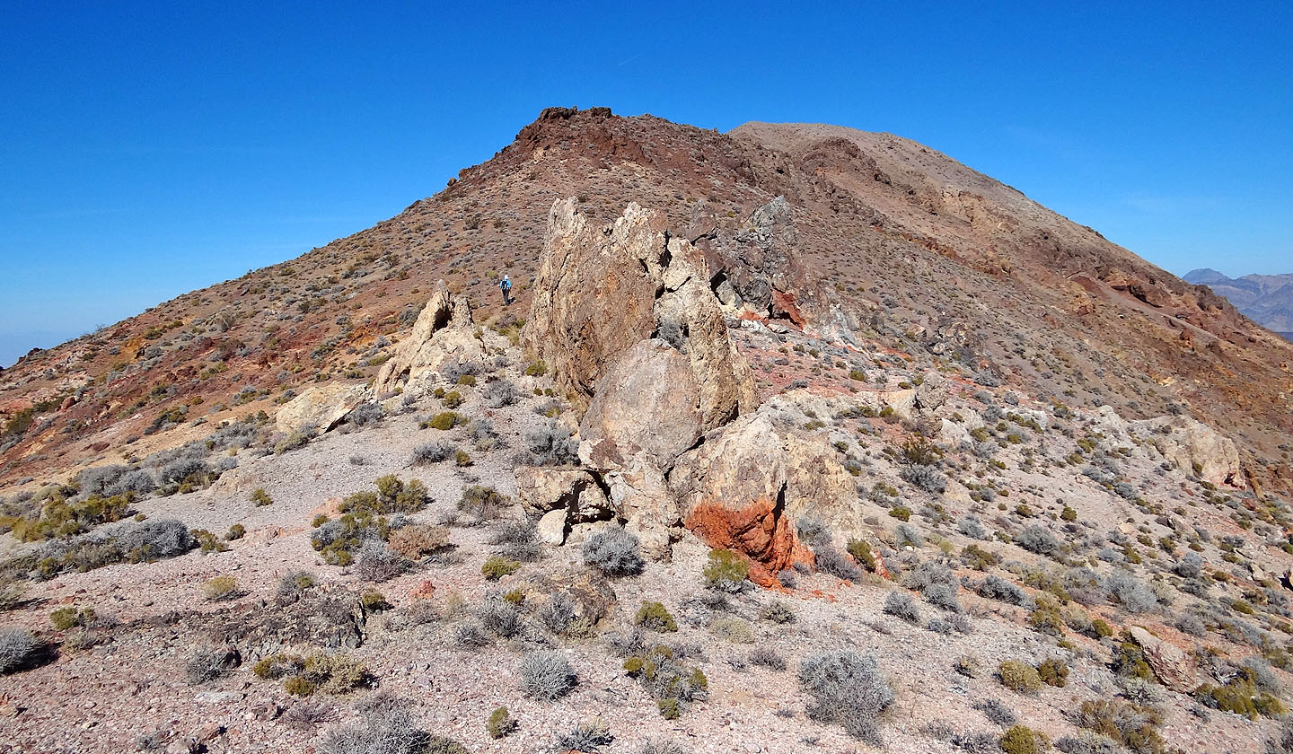
Almost at the summit
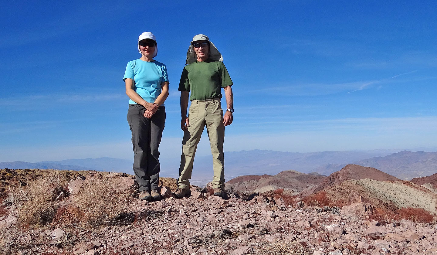
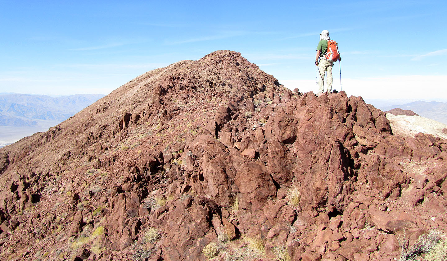
On Mount Perry
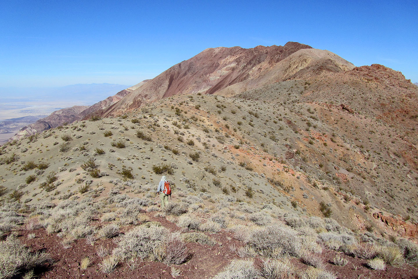
Looking past the summit
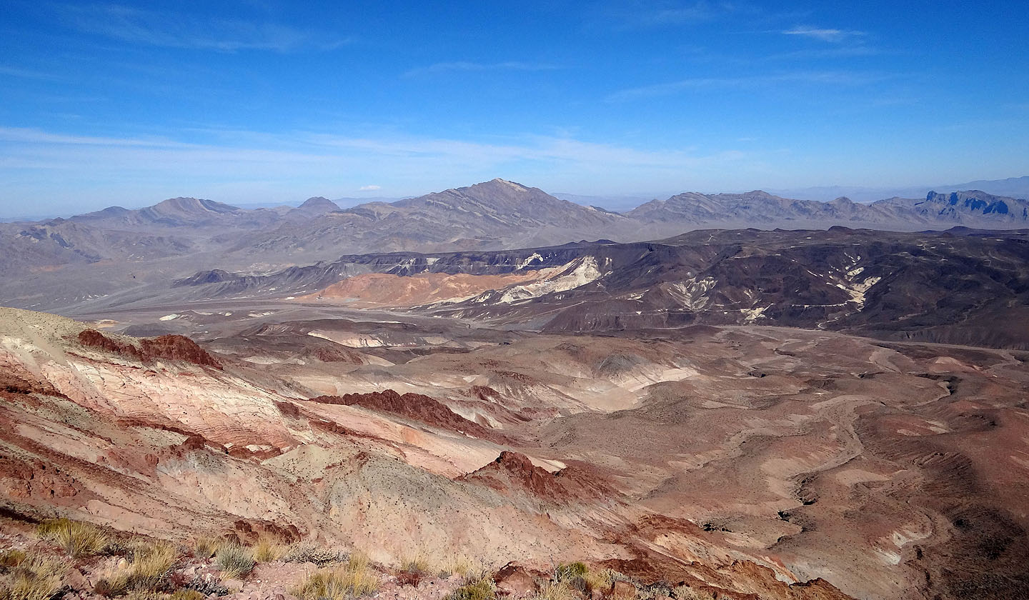
View northwest to Pyramid Peak (mouse over to zoom in)
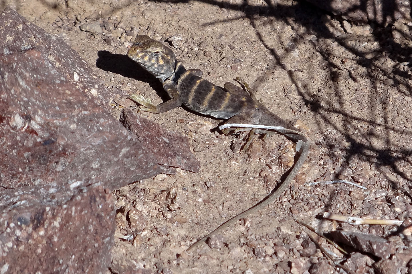
Great basin collared lizard
Bat Mountain
Coffin Peak (centre) lies south of Dantes Peak
Ryan and Dantes View
(9.0 mi, 5712 ft, 5676 ft, 757 ft)